


Hochgründeck (1827m) - from Ginau


Fotografie našich používateľov
-
 © _Lani_Vytvorené dňa 28.10.2022
 -
 © _Lani_Vytvorené dňa 28.10.2022
 -
 © _Lani_Vytvorené dňa 10.10.2022
 -
 © _Lani_Vytvorené dňa 10.10.2022
 -
 © _Lani_Vytvorené dňa 28.10.2022
 -
 © _Lani_Vytvorené dňa 28.10.2022
 -
 © _Lani_Vytvorené dňa 28.10.2022
 -
 © _Lani_Vytvorené dňa 28.10.2022
 -
 © _Lani_Vytvorené dňa 10.10.2022
 -
 © _Lani_Vytvorené dňa 10.10.2022
 -
 © _Lani_Vytvorené dňa 10.10.2022
 -
 © _Lani_Vytvorené dňa 10.10.2022
 -
 © _Lani_Vytvorené dňa 10.10.2022
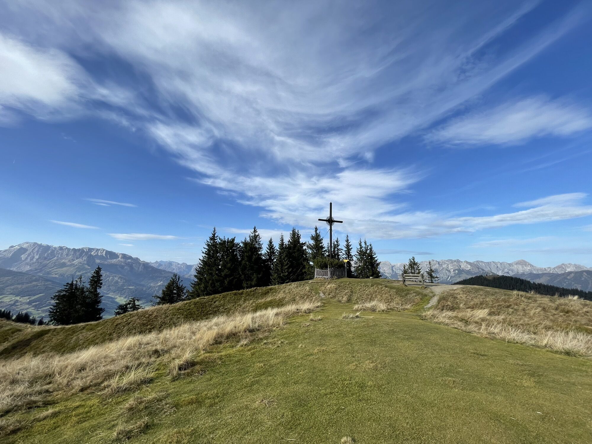
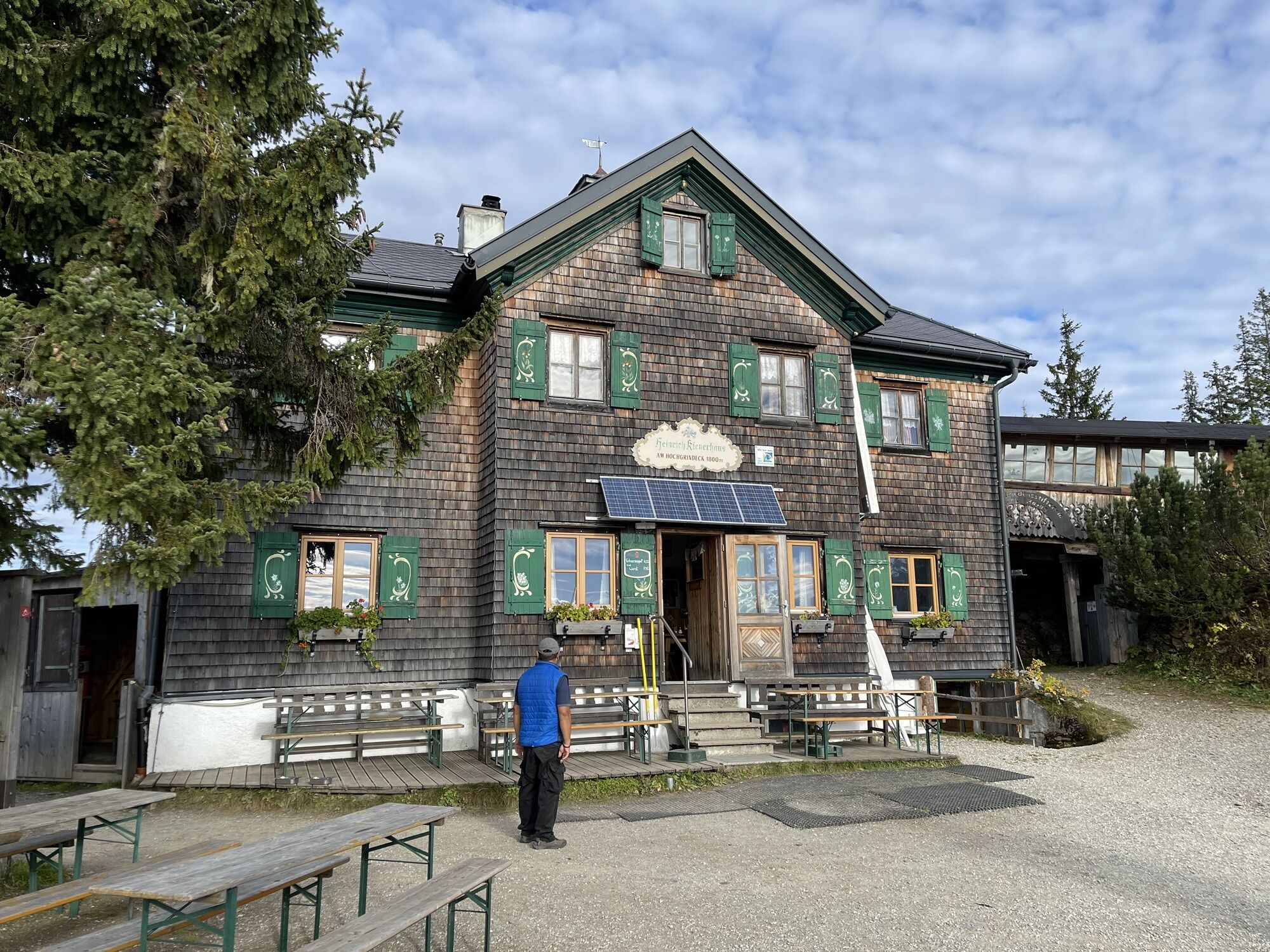

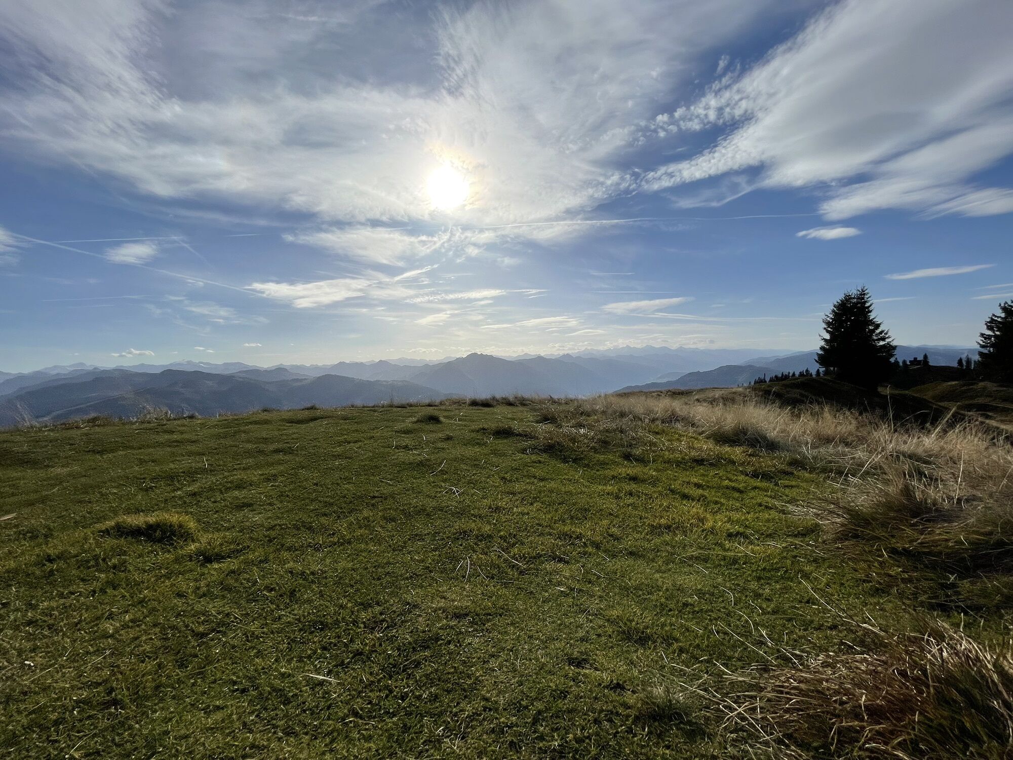

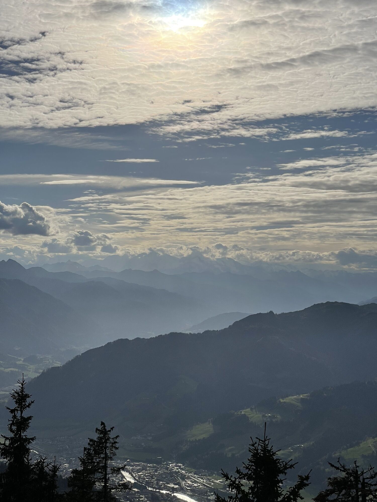
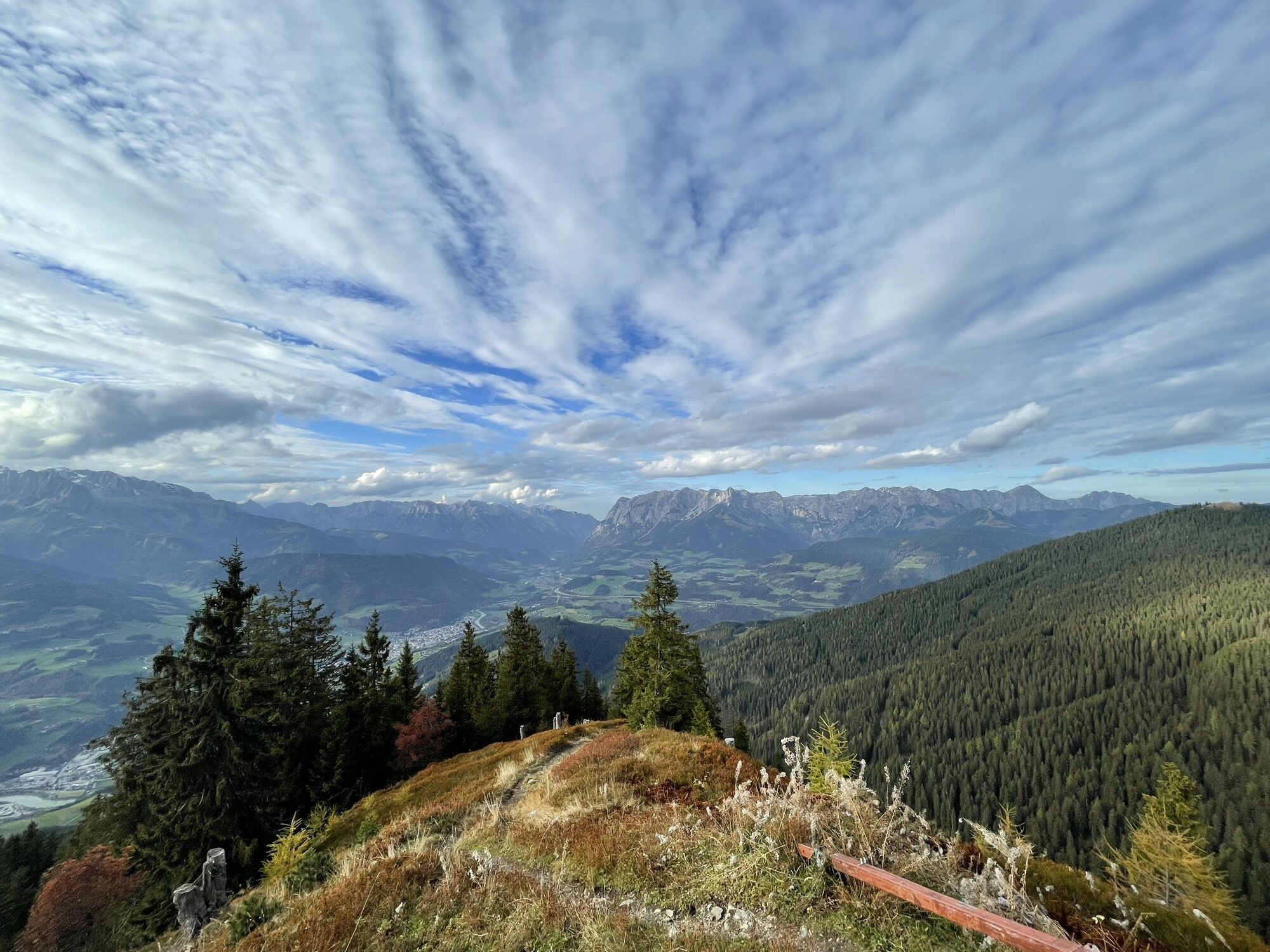
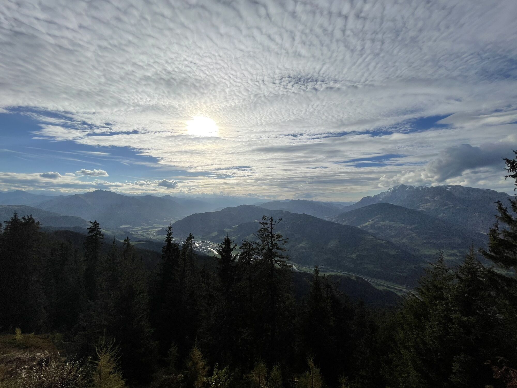
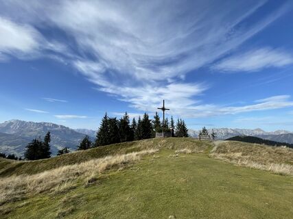
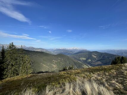
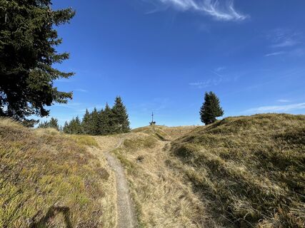
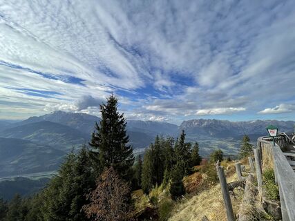
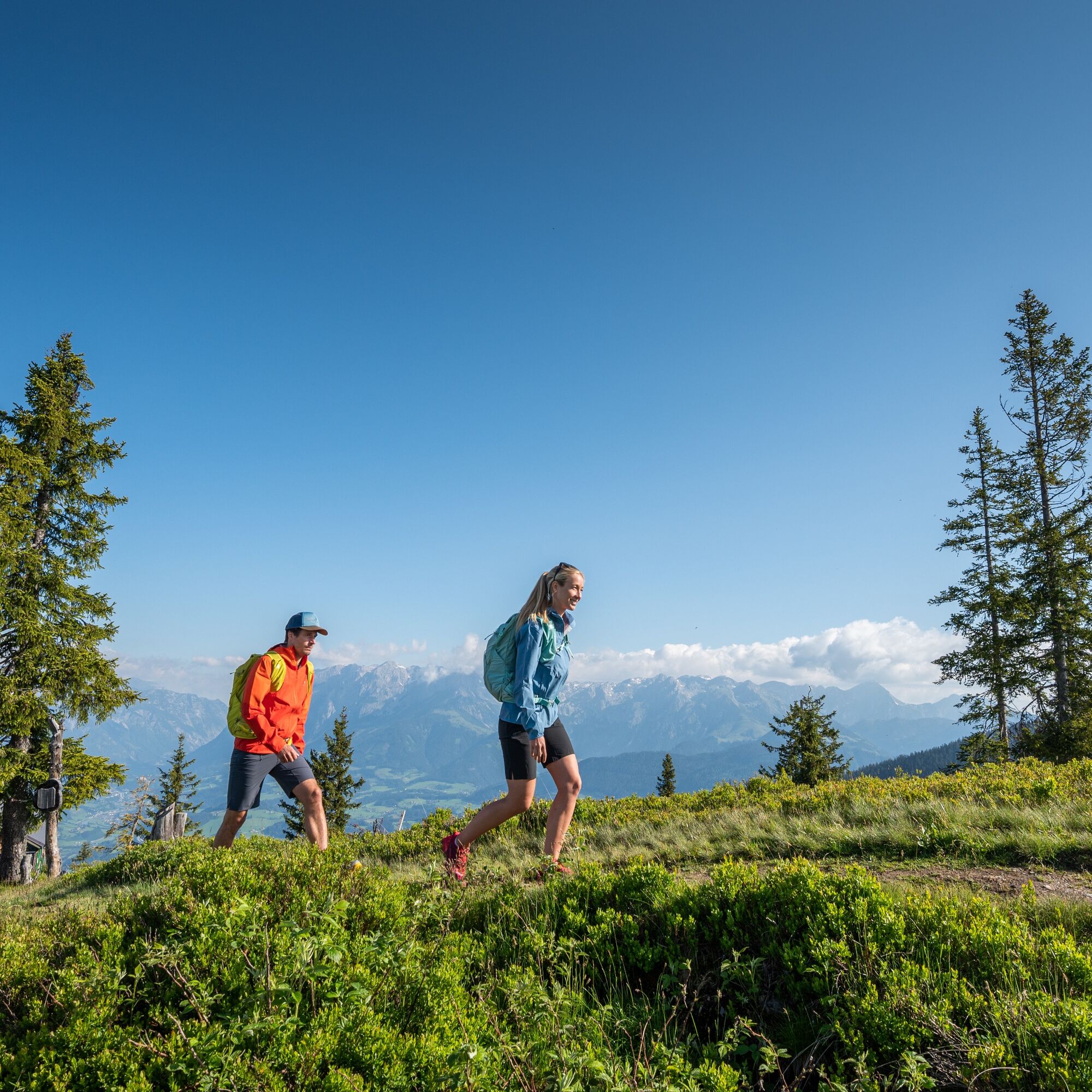
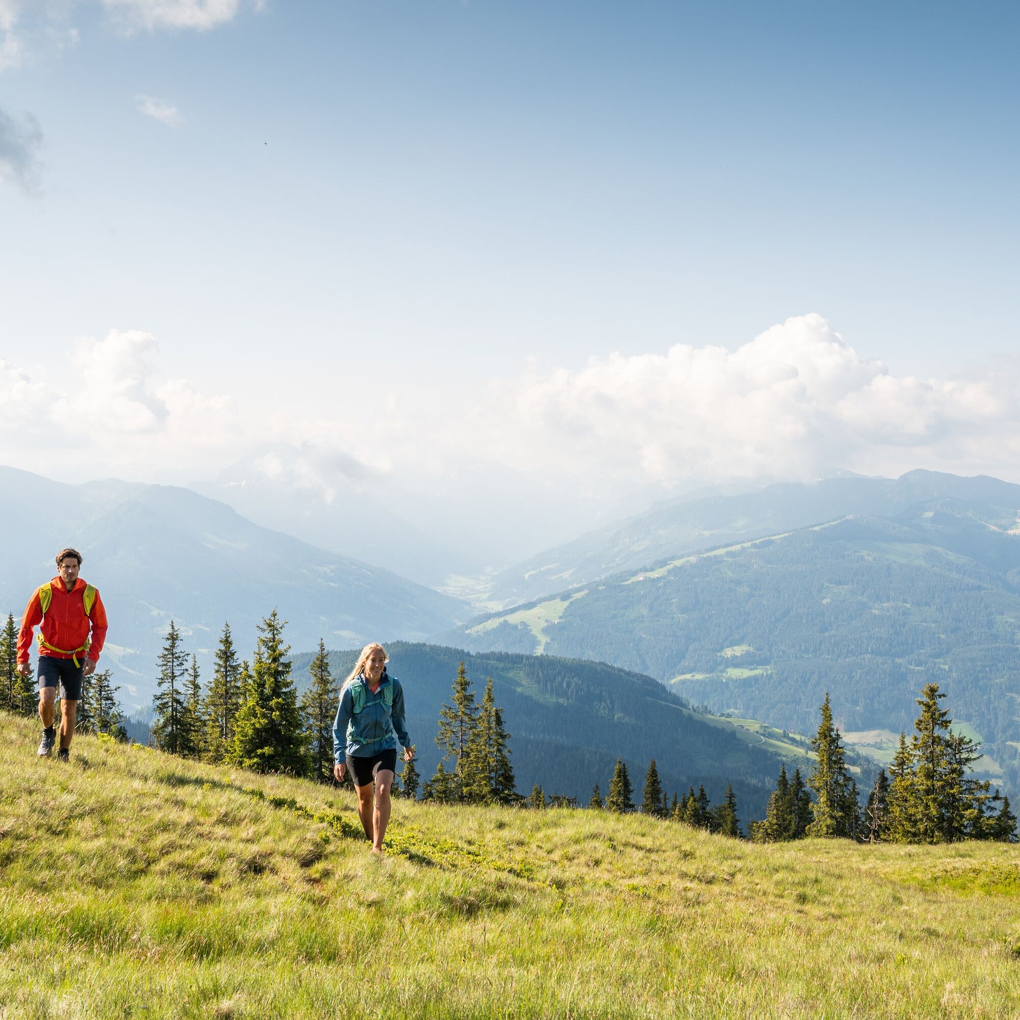
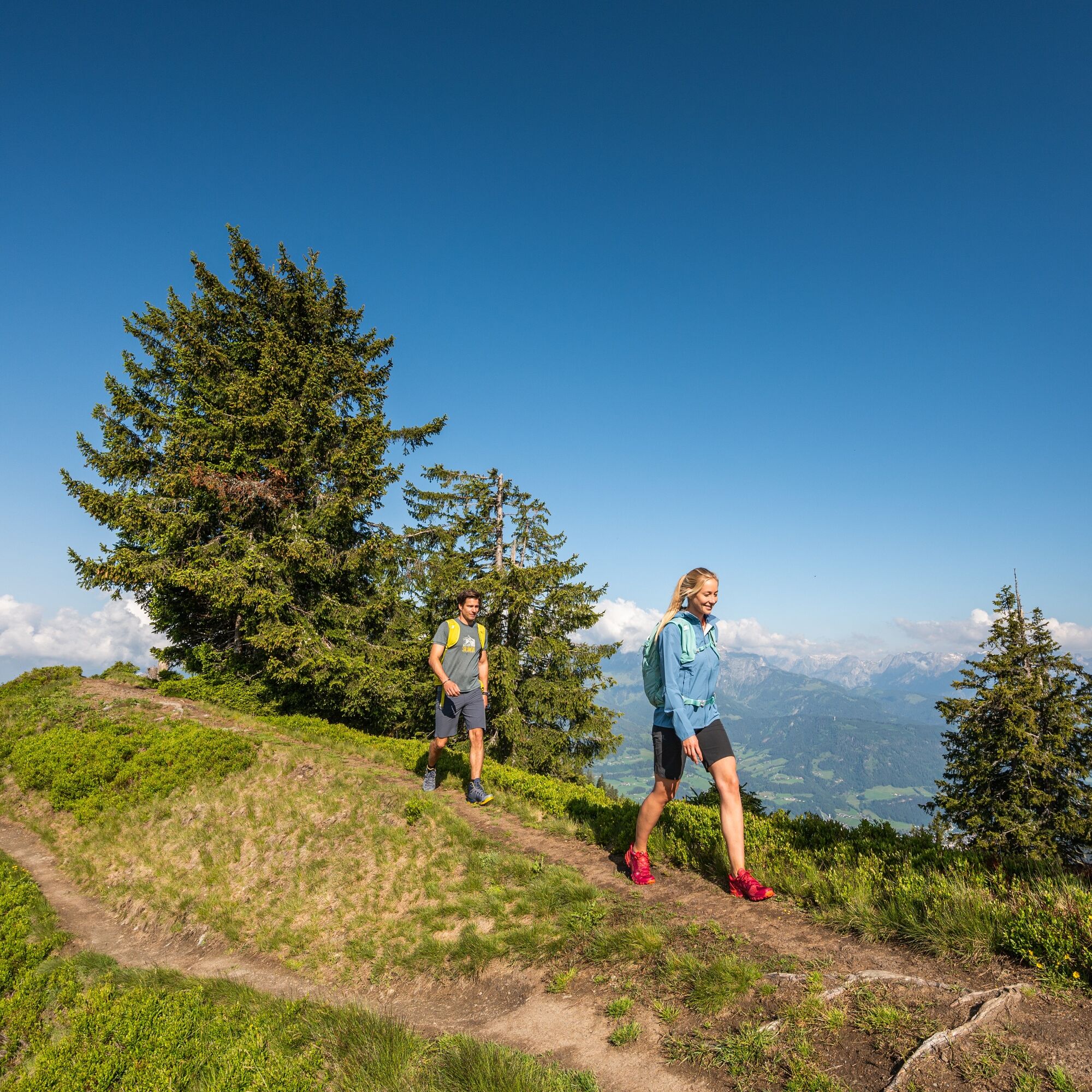
From the parking lot in Ginau, follow the hiking trail past a small mountain chapel, partly steep through the forest to the Heinrich-Kiener-Haus and from there to the summit. Benches invite you to rest...
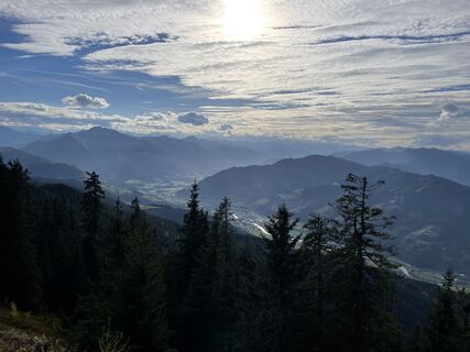
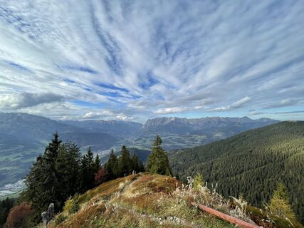
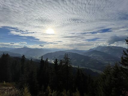
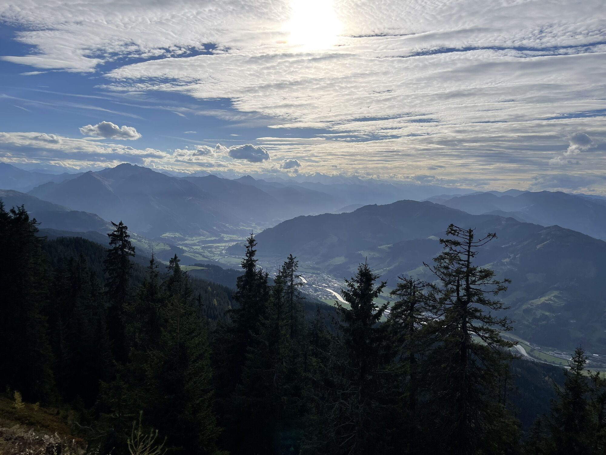
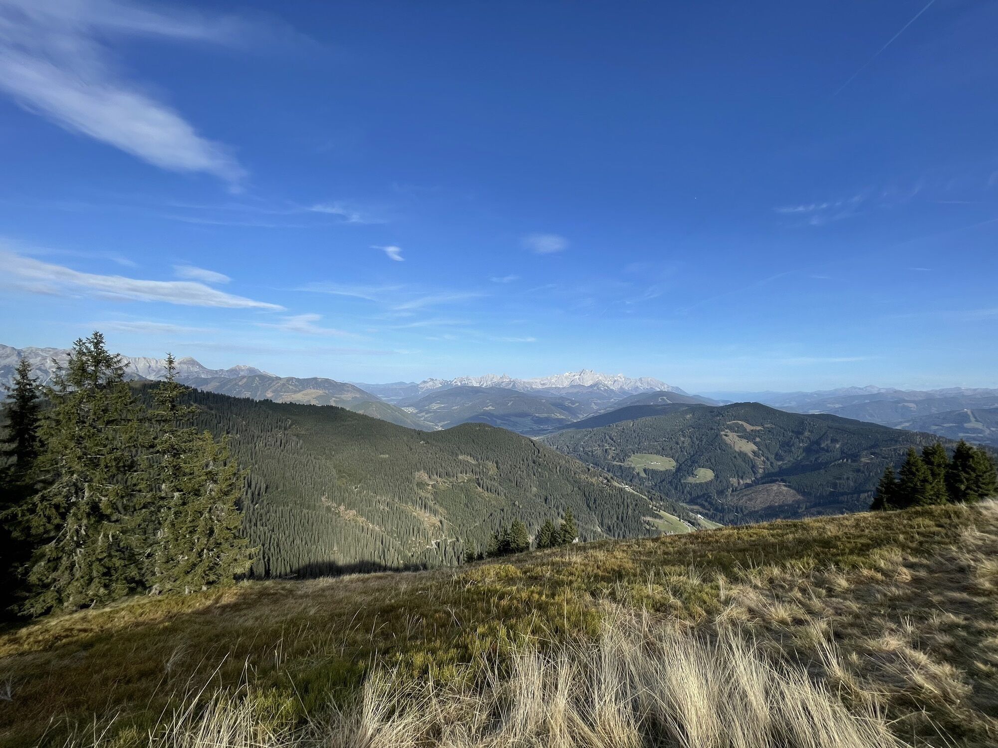
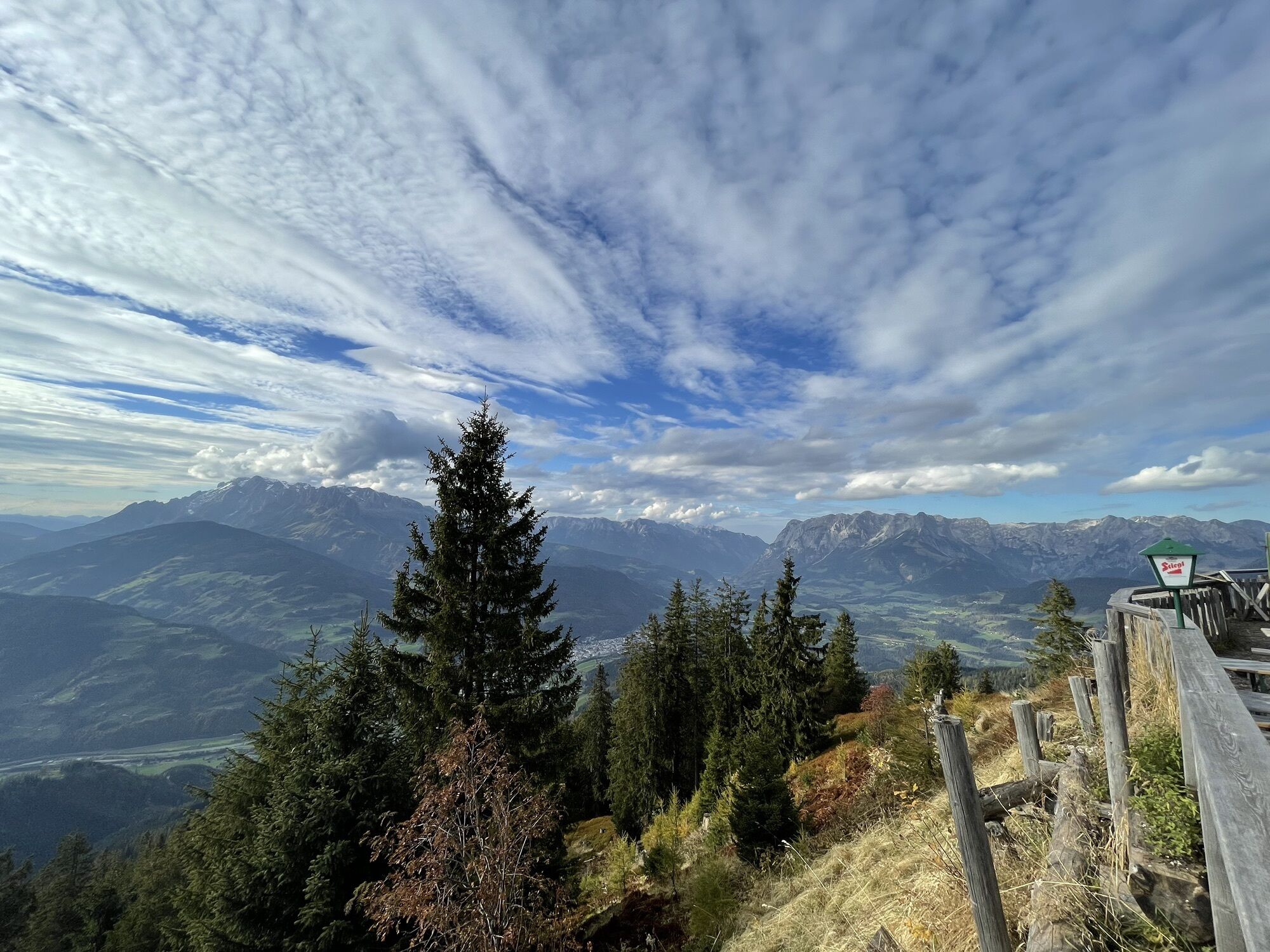
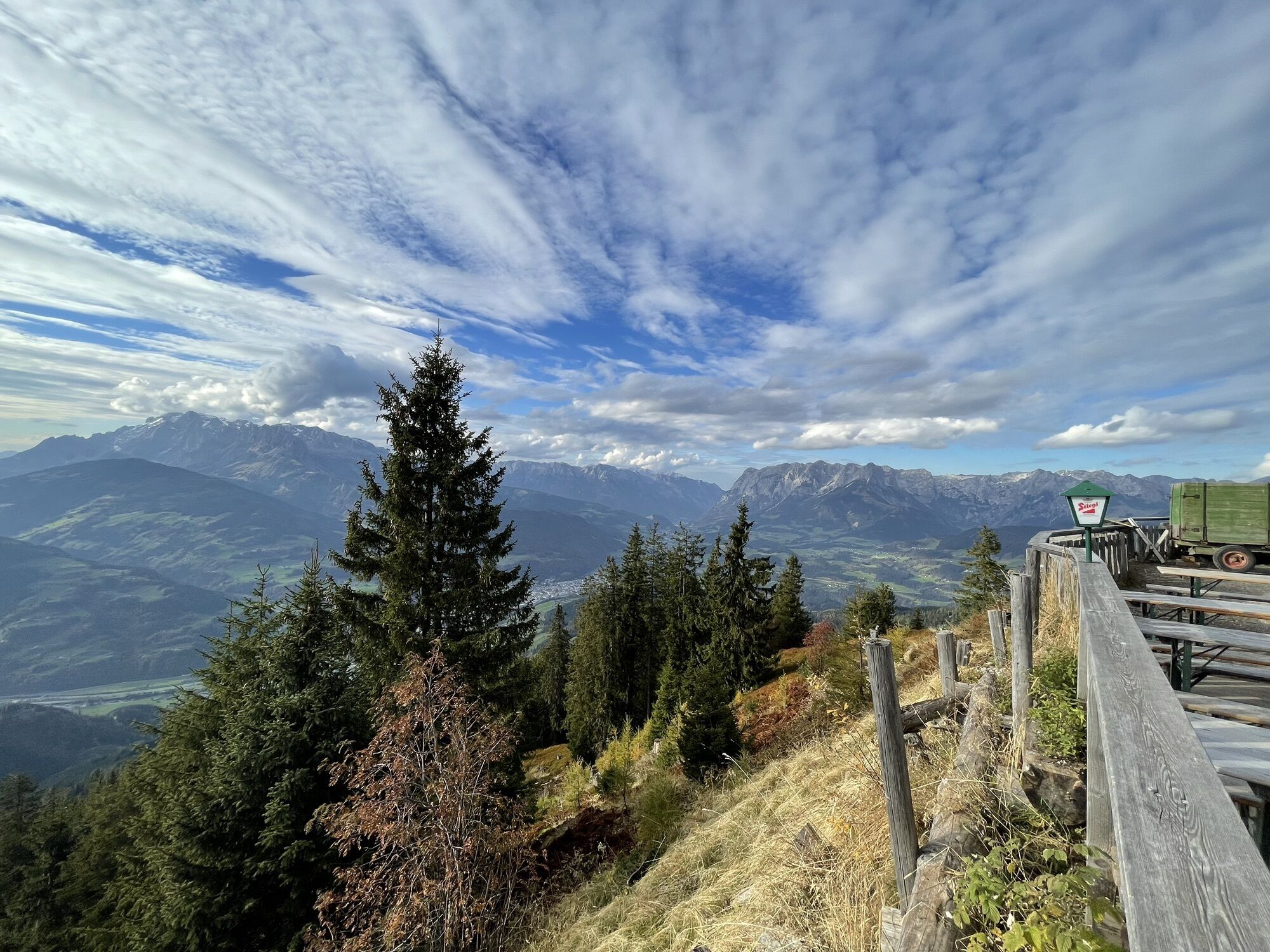
From the parking lot in Ginau, follow the hiking trail past a small mountain chapel, partly steep through the forest to the Heinrich-Kiener-Haus and from there to the summit. Benches invite you to rest and snack at the summit. On the return journey, a stop at the Heinrich-Kiener-Haus is worthwhile; from the terrace, you have a wonderful view of the surrounding mountains.


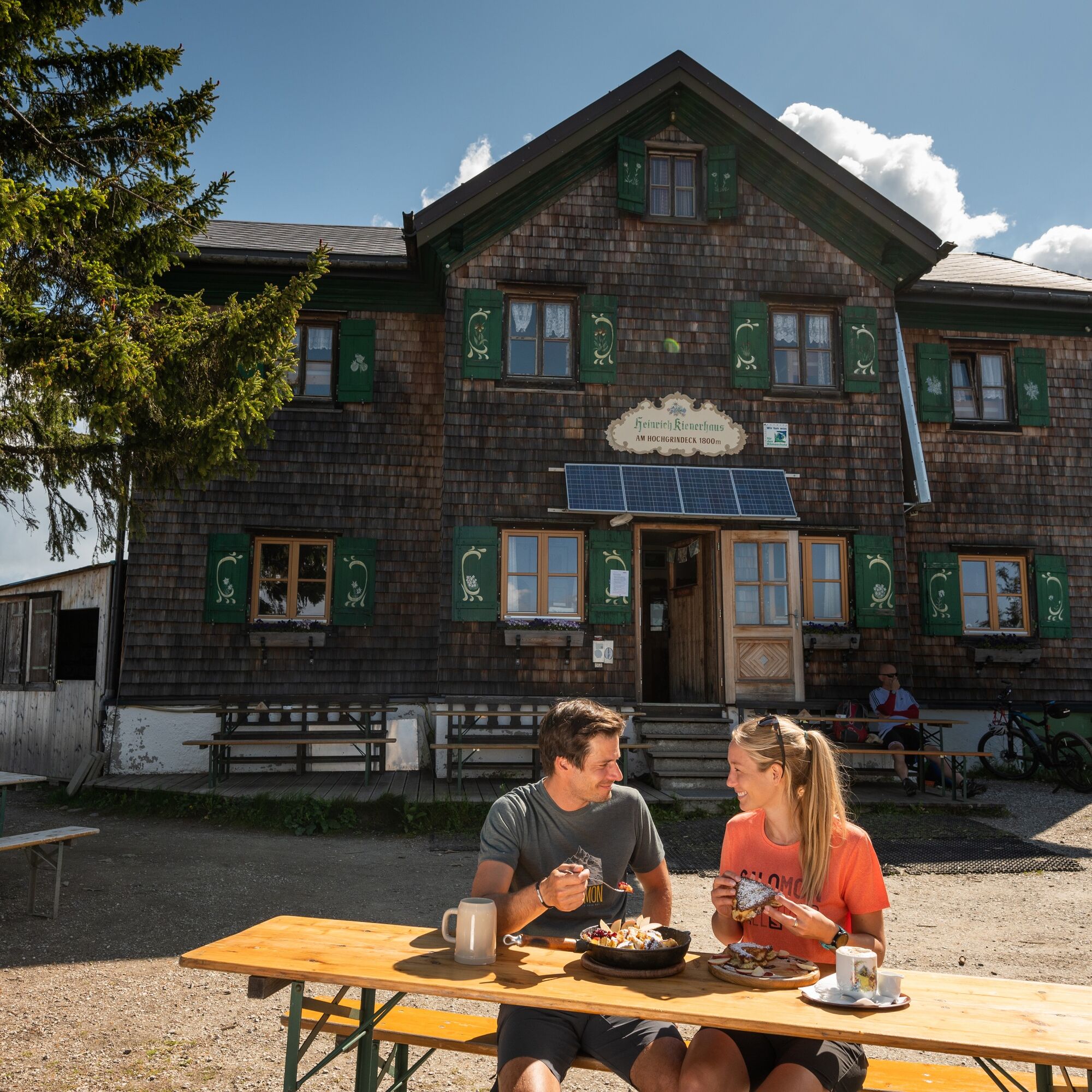

From the parking lot in Ginau, follow hiking trail no. 52 past a small mountain chapel, partly steeply uphill through the forest. When you reach the forest road, follow it a few meters to the left before the path no. 451 branches off to the right towards the Heinrich-Kiener-Haus. From the Heinrich-Kiener-Haus, it takes about half an hour further to the summit.
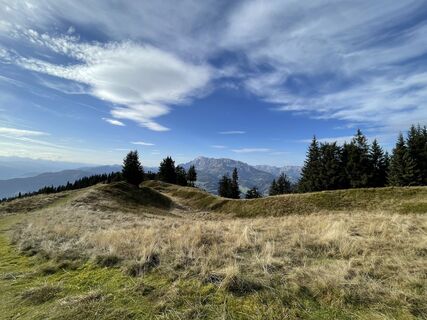
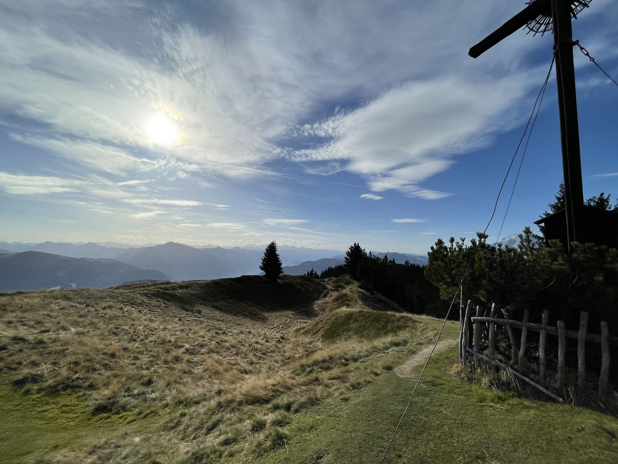
On the way back, a stop at the Heinrich-Kiener-Haus is also worthwhile. Either you hike back the same way or follow route no. 453 down to the Ginau saddle and further down until the path no. 51 branches off right towards Ginau and Niederlehen. Follow this path back to the parking lot.
Áno
sturdy footwear
From Wagrain towards Flachau, turn left near the pharmacy onto the Sunnside farm road. Slightly uphill along the farm road to the Vordertiefenbach farm and at the following two junctions turn left (Sunnside / Floitensberg) towards Ginau, past the Grub snack station to the Ginau parking lot.
In Ginau, just before the last farm (Niederlehen), there is a free parking lot by the roadside.
Obľúbené výlety v okolí
-
4,9
Hochkönig - Gipfel der Gefühle - Matrashaus
ťažkéTuristika 20,9 km -
3,8
Hochkönig summit route - main ascent
ťažkéTuristika 18,1 km -
4,7
Panorama hike to the Hochkeil
strednáTuristika 6,07 km -
3,6
Wanderung zur Ostpreußenhütte in Werfen (1.630 m)
strednáTuristika 11,2 km -
4,7
About the "Four Huts circular route" to Windraucheggalm
strednáTuristika 10,1 km -
4,2
Ennskraxn (2410m)
ťažkéTuristika 14,7 km -
3,7
Auf die Ostpreussenhütte
strednáTuristika 16,6 km -
4,6
Ski route Lackenkogel
strednáSkitour 7,82 km -
4,2
Großarl: Unterwandalm - Karseggalm - Breitenebenalm
strednáTuristika 5,93 km -
3,9
Mühlbacher Höhenweg
strednáTuristika 11,2 km
Turistika a stopovanie


Nenechajte si ujsť ponuky a inšpiráciu na ďalšiu dovolenku
Vaša e-mailová adresa bol pridaný do poštového zoznamu.