







Via the Riemannhaus to the Schönfeldspitze

Úroveň náročnosti: T5
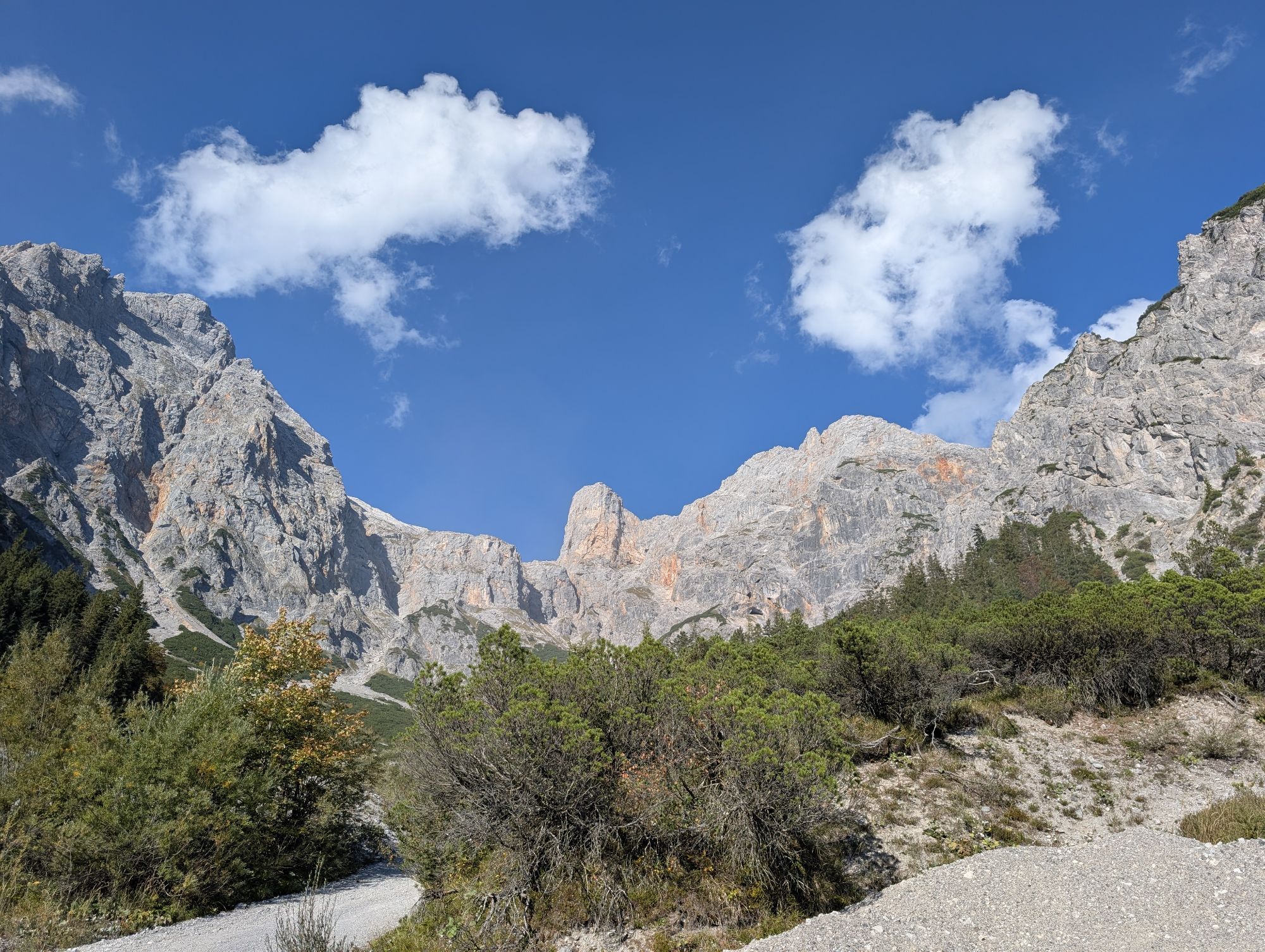
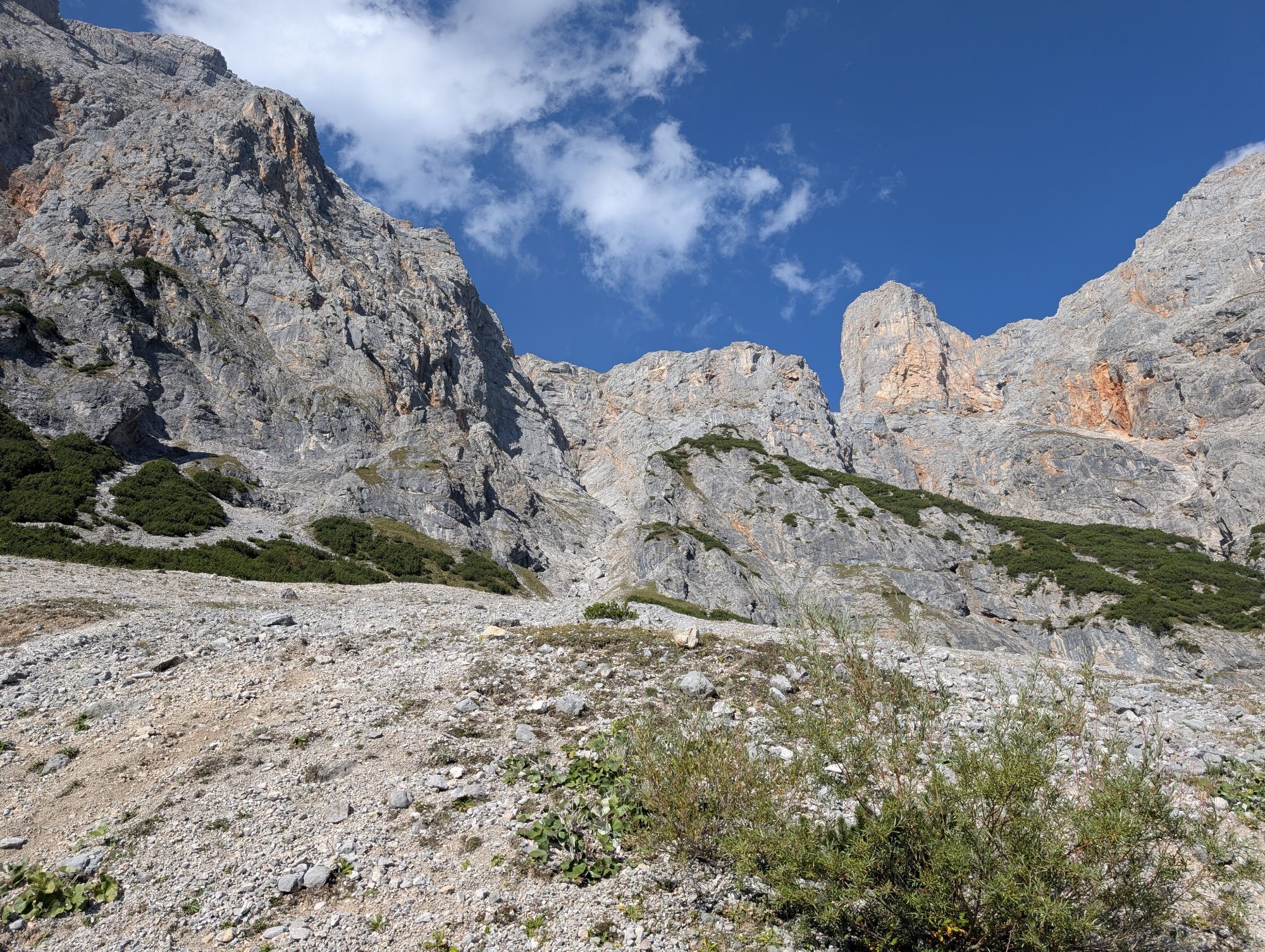
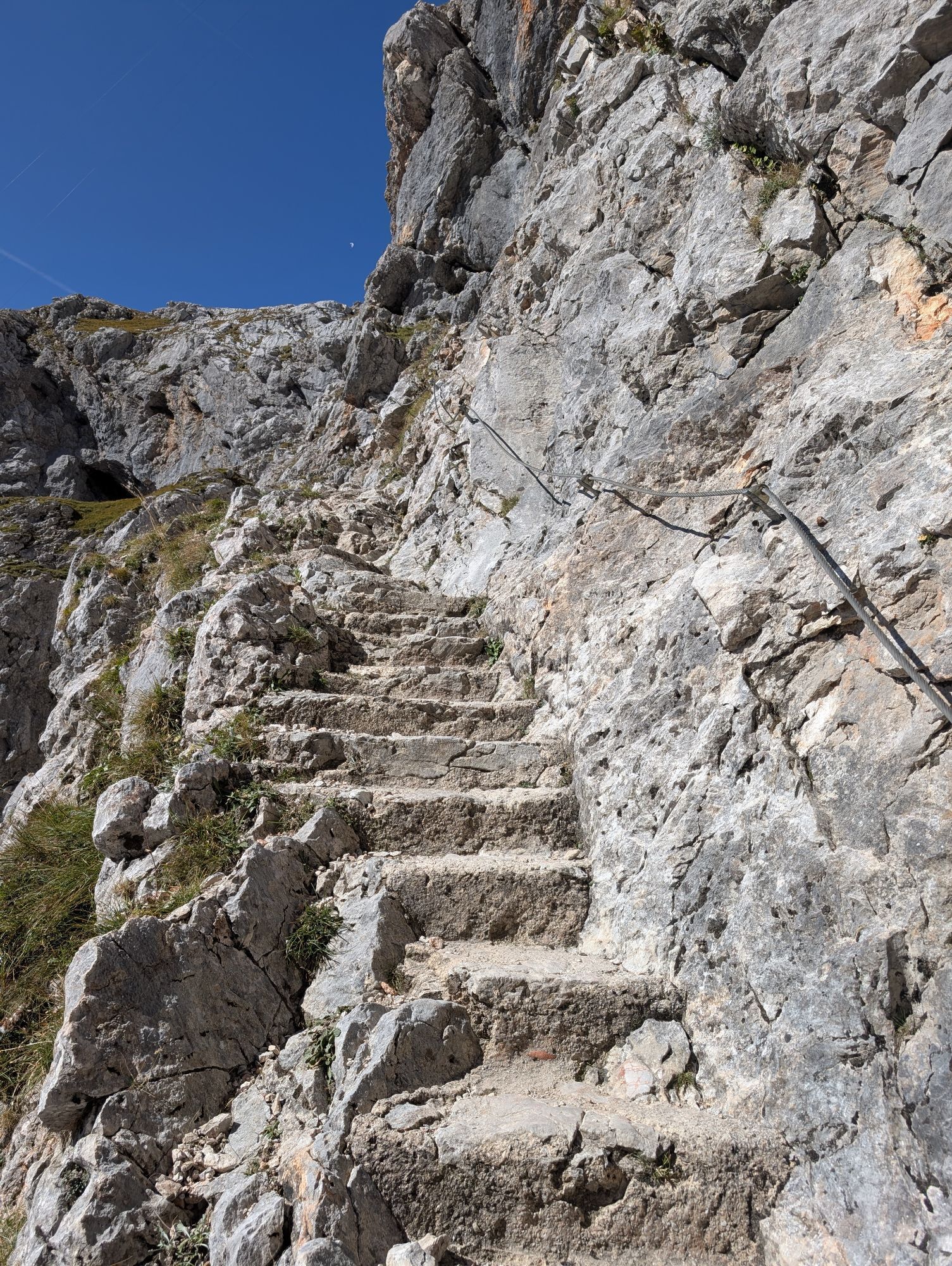
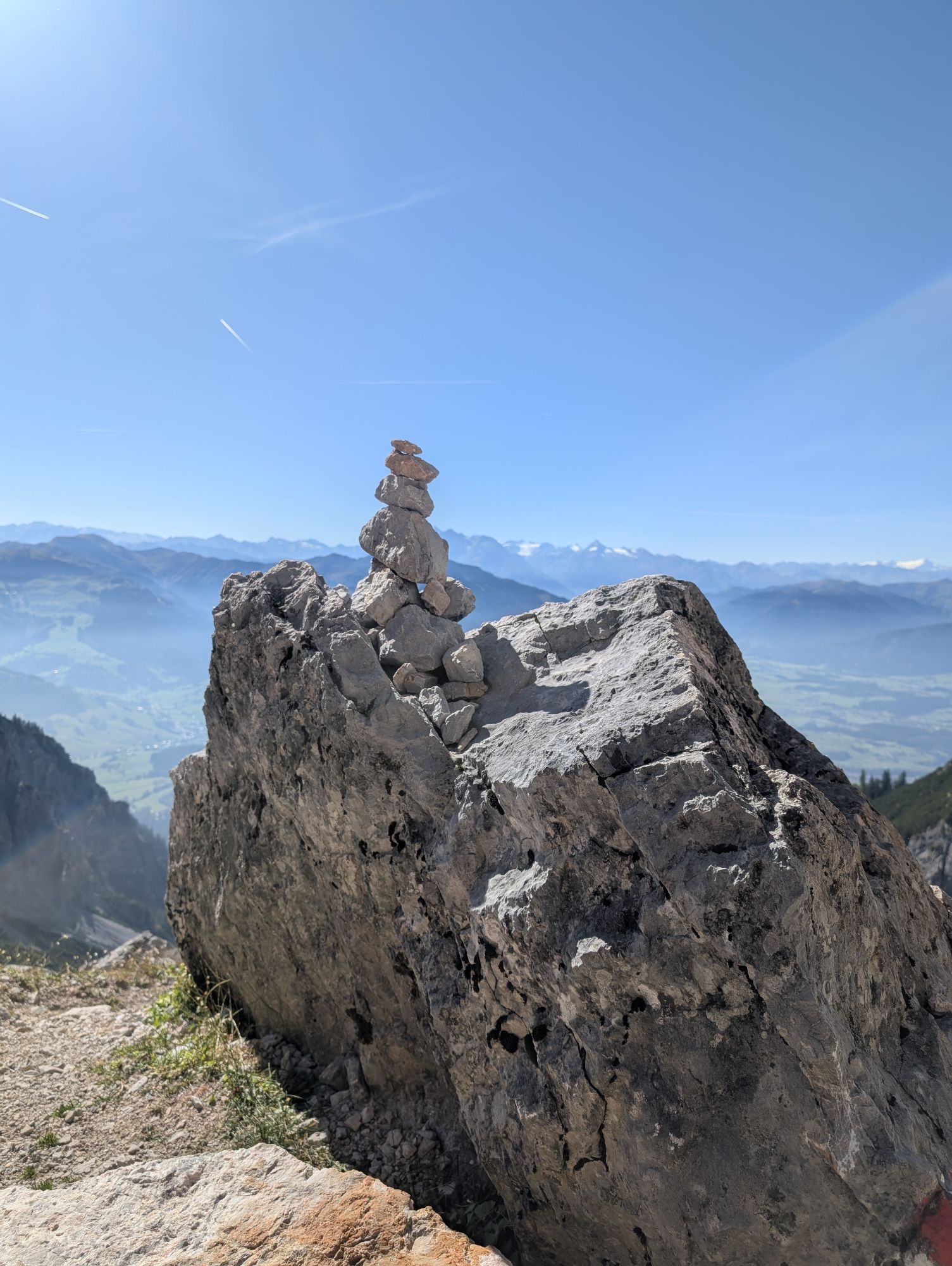
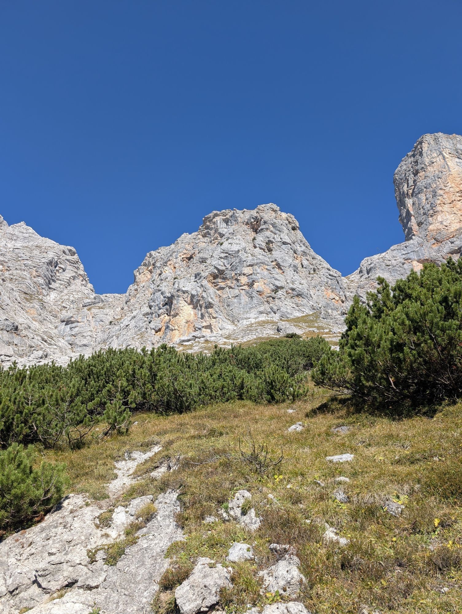
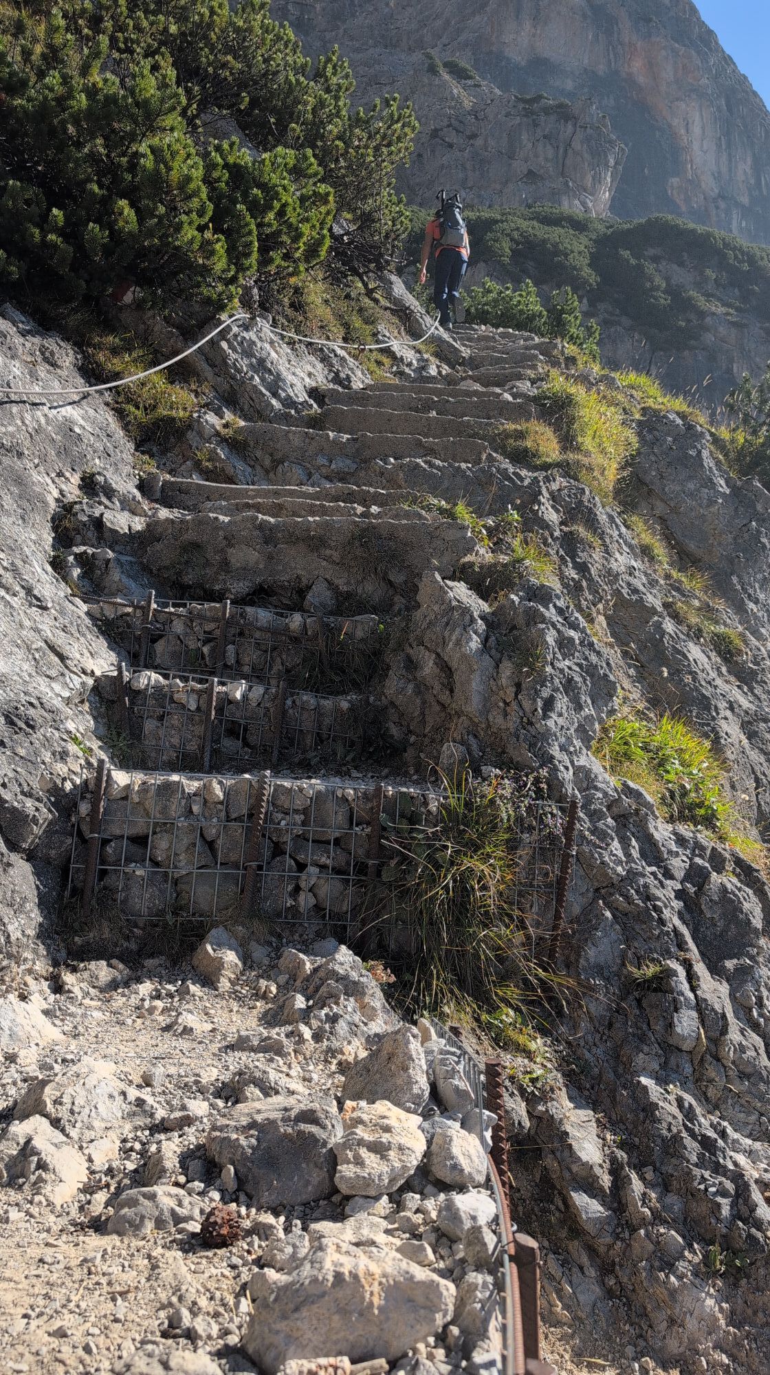
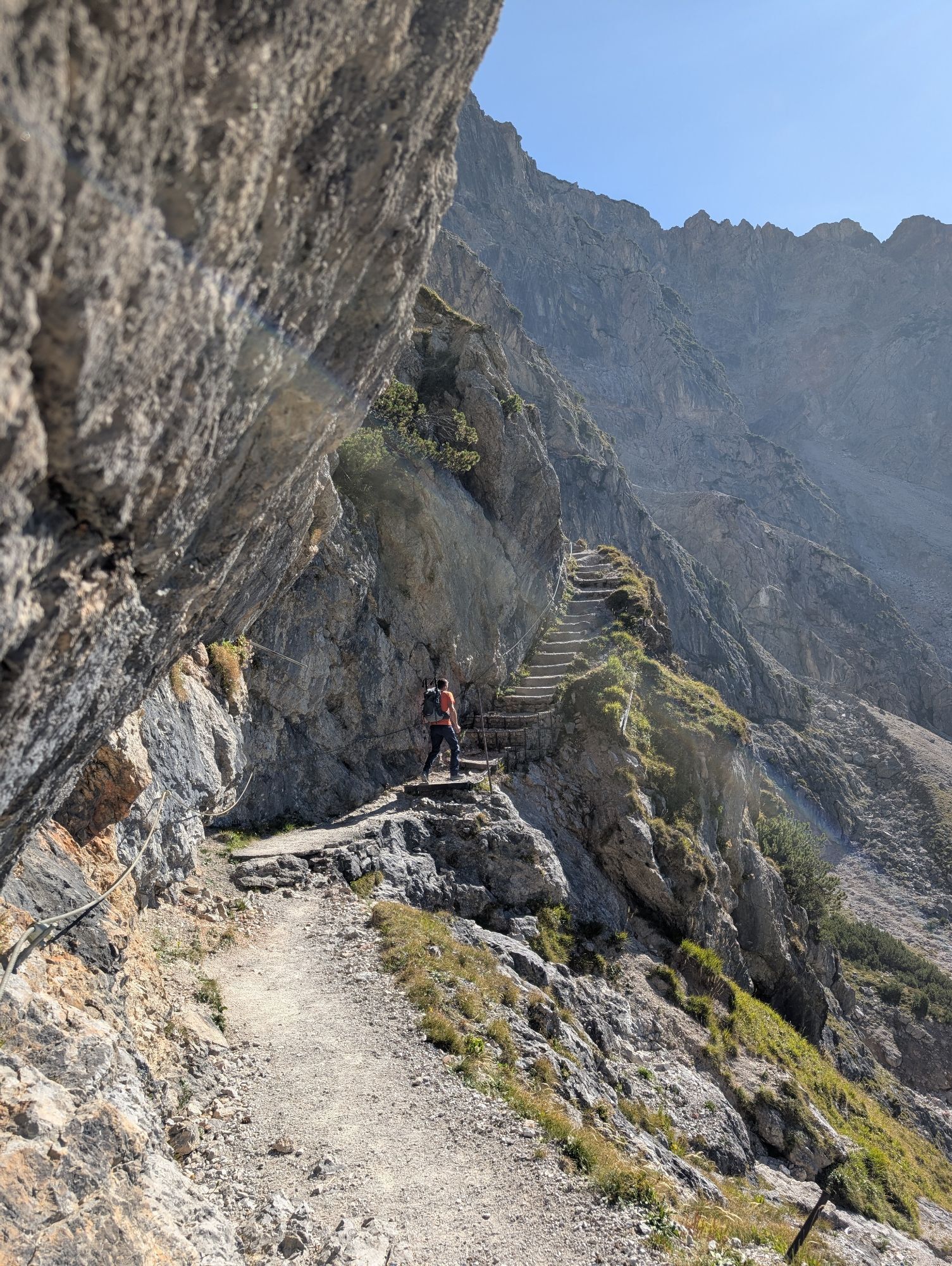
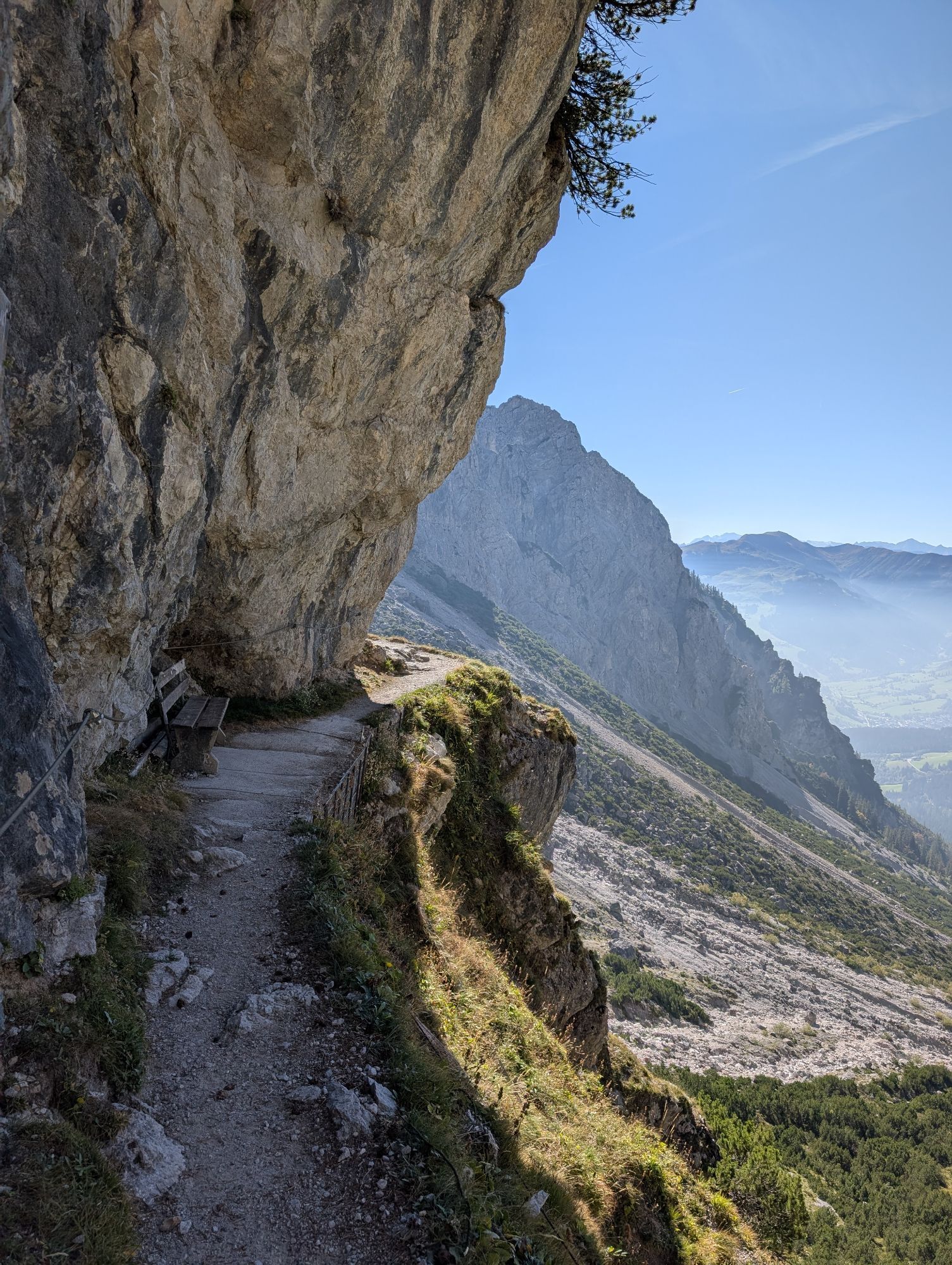
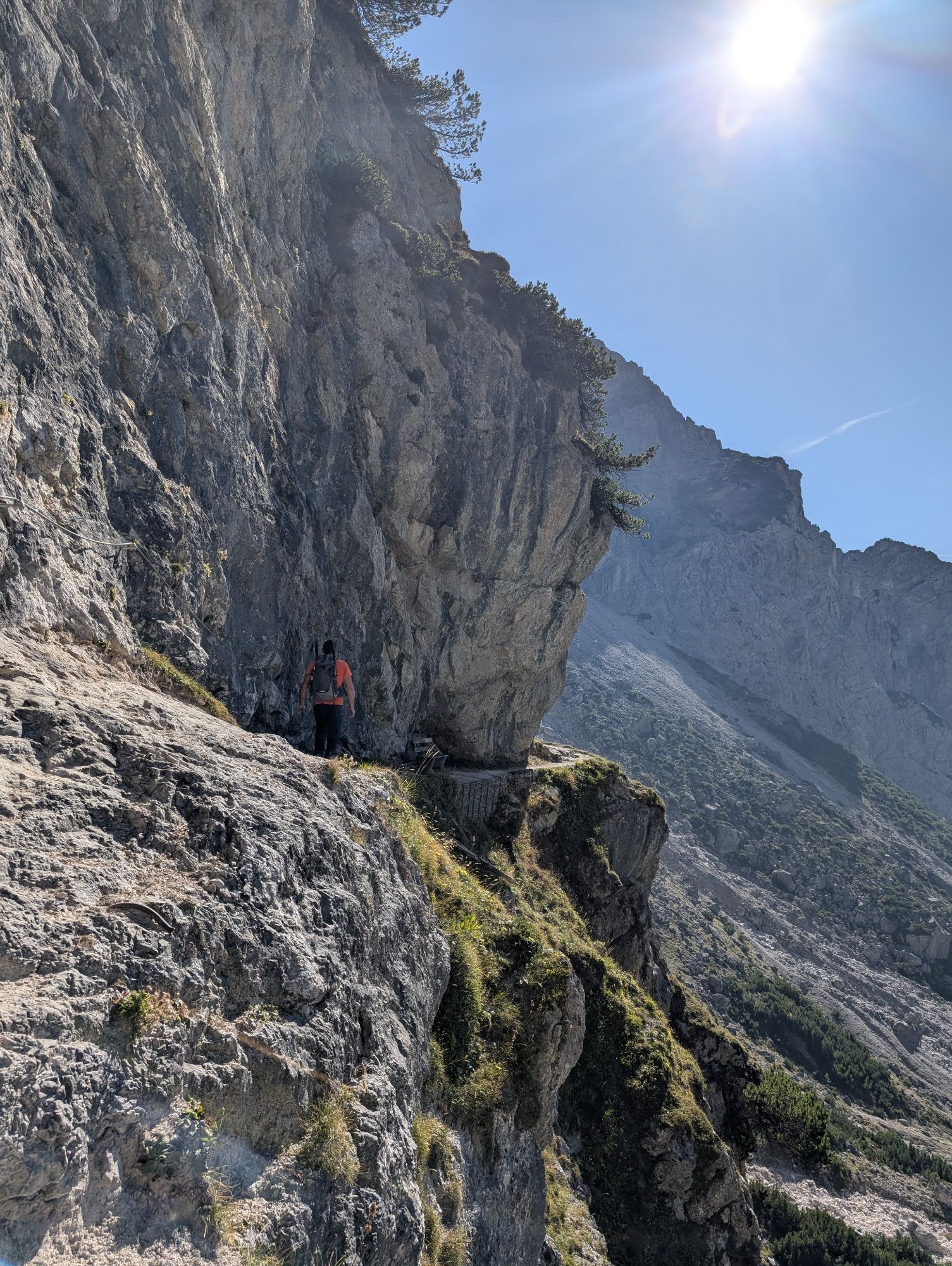
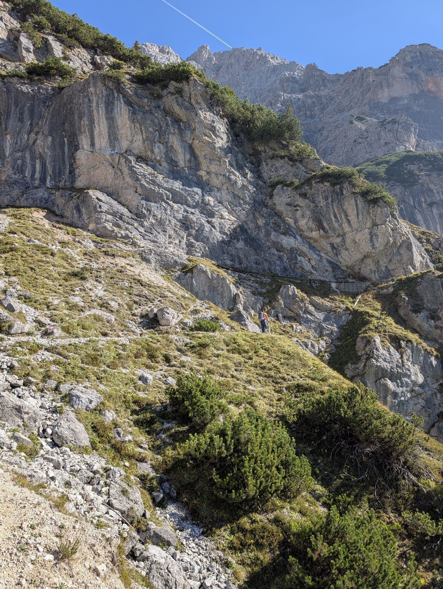
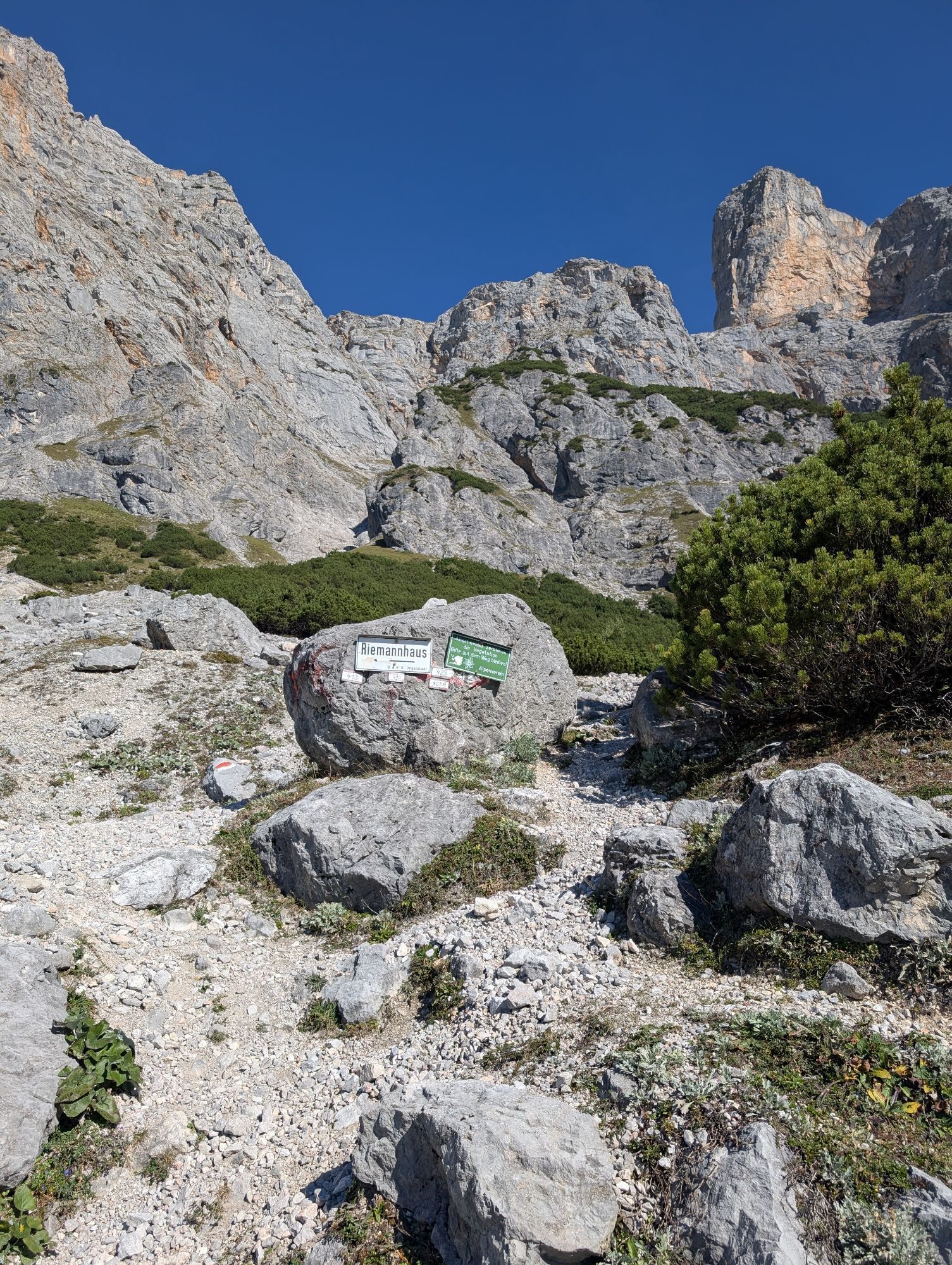
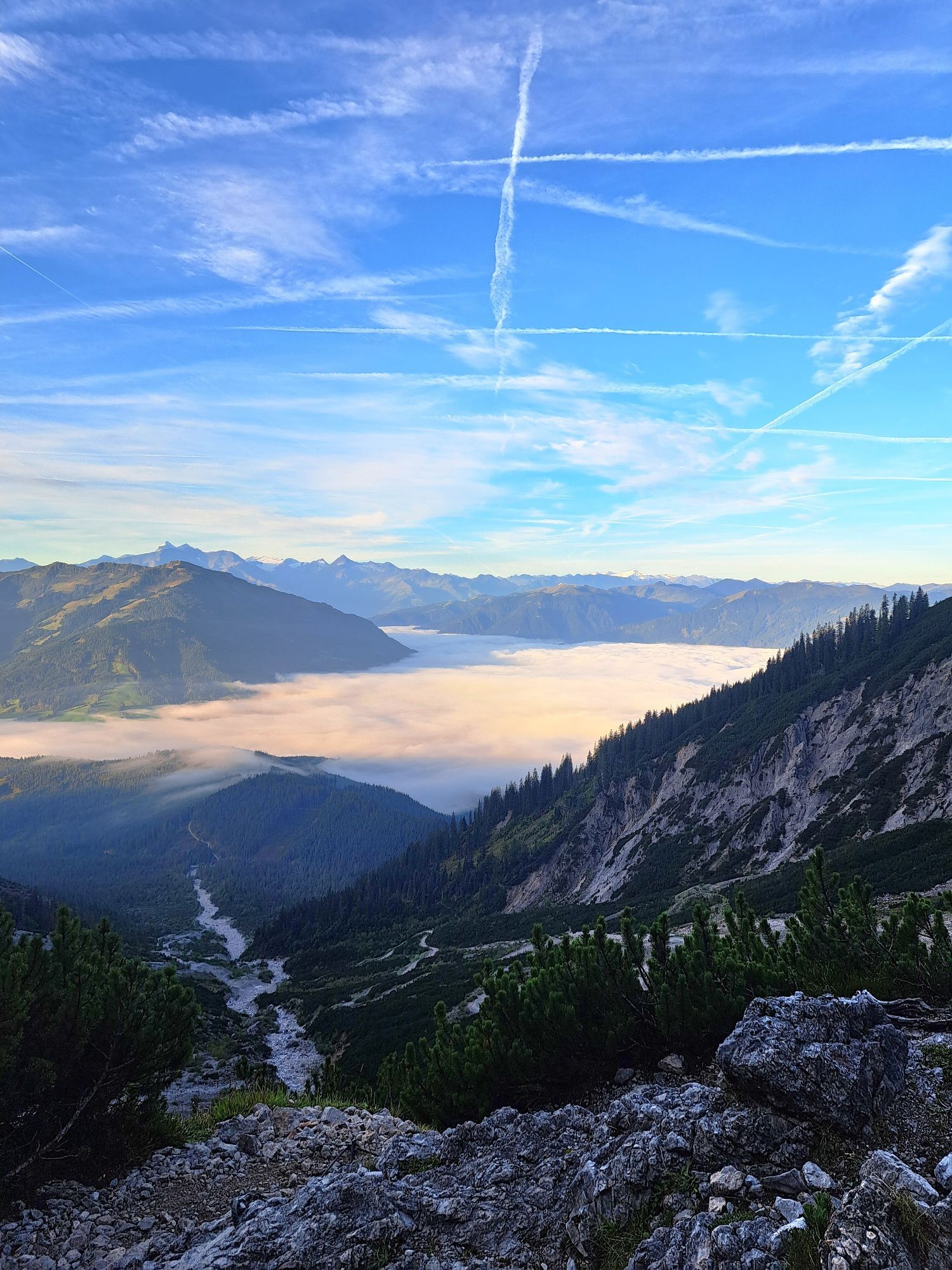

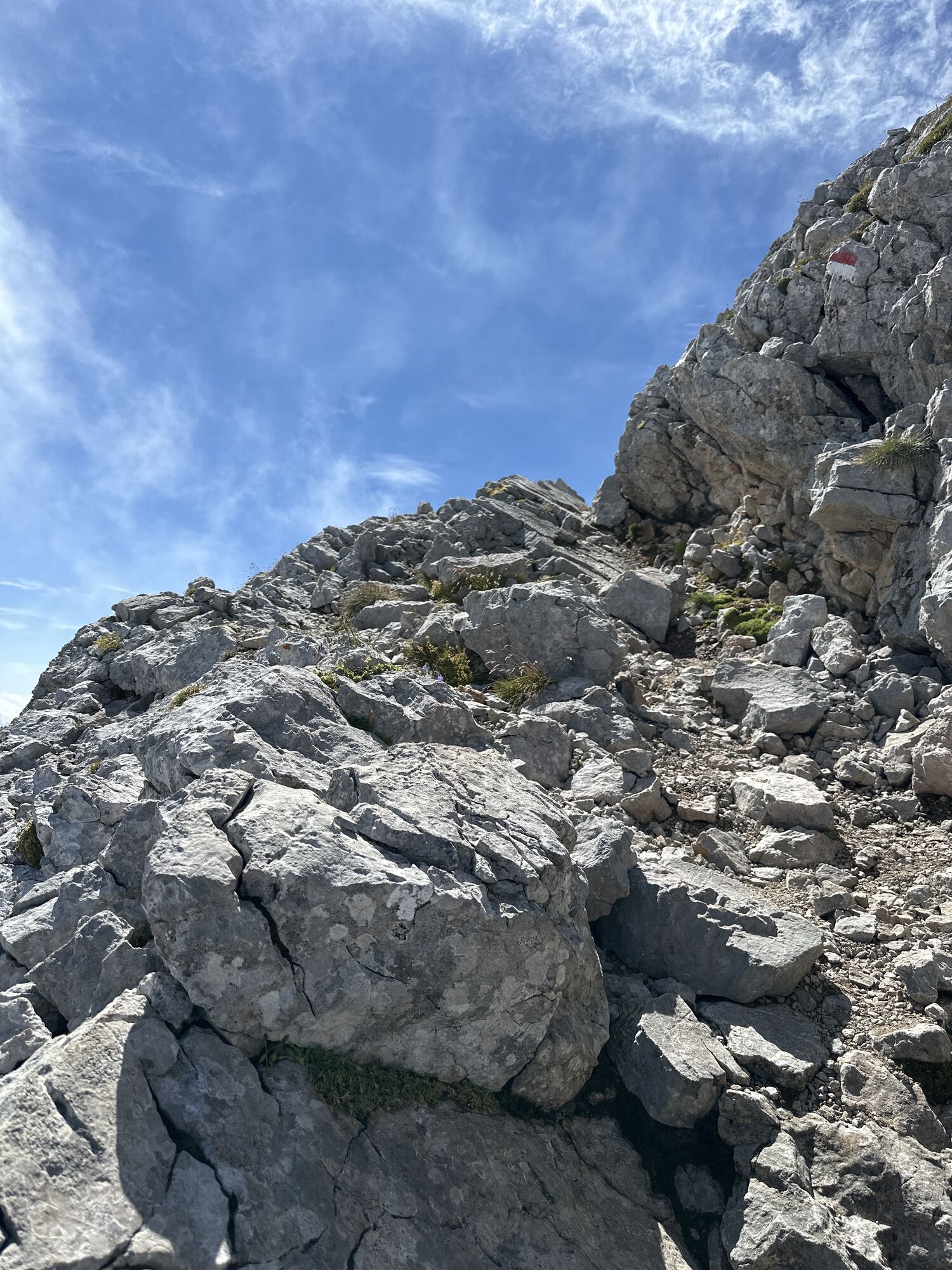
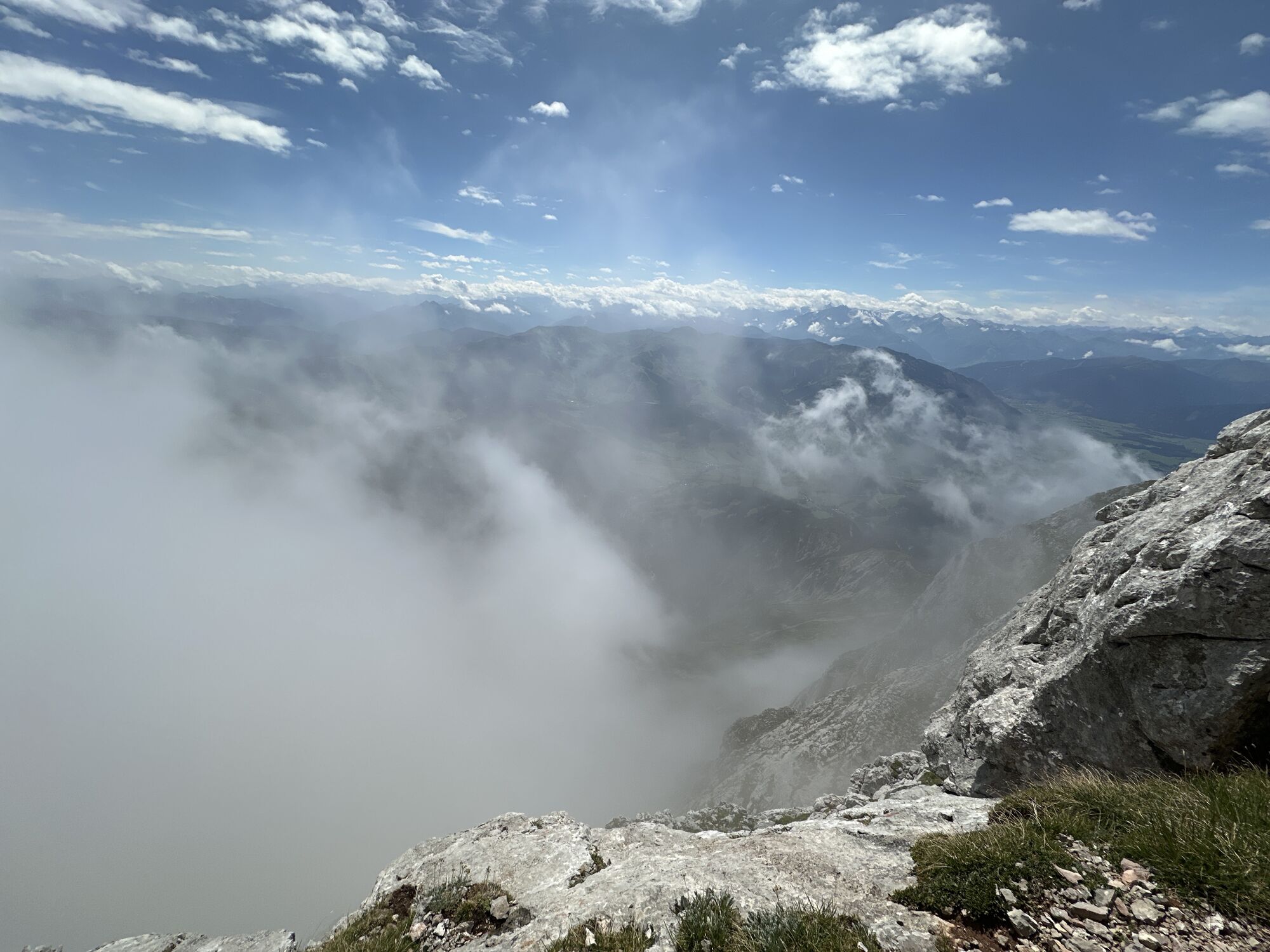
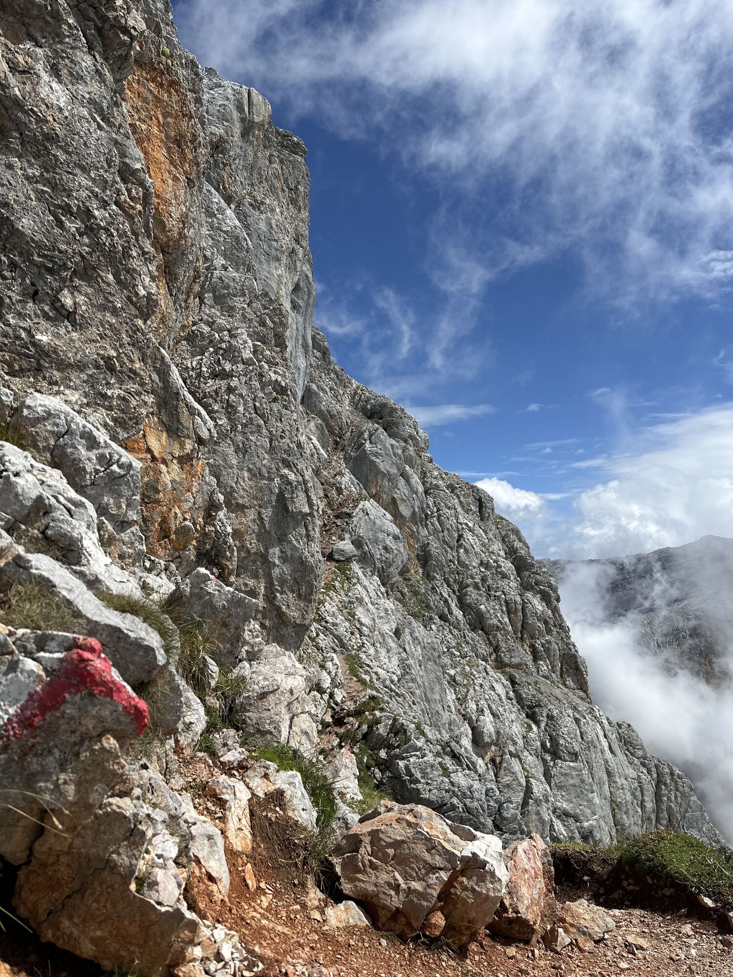
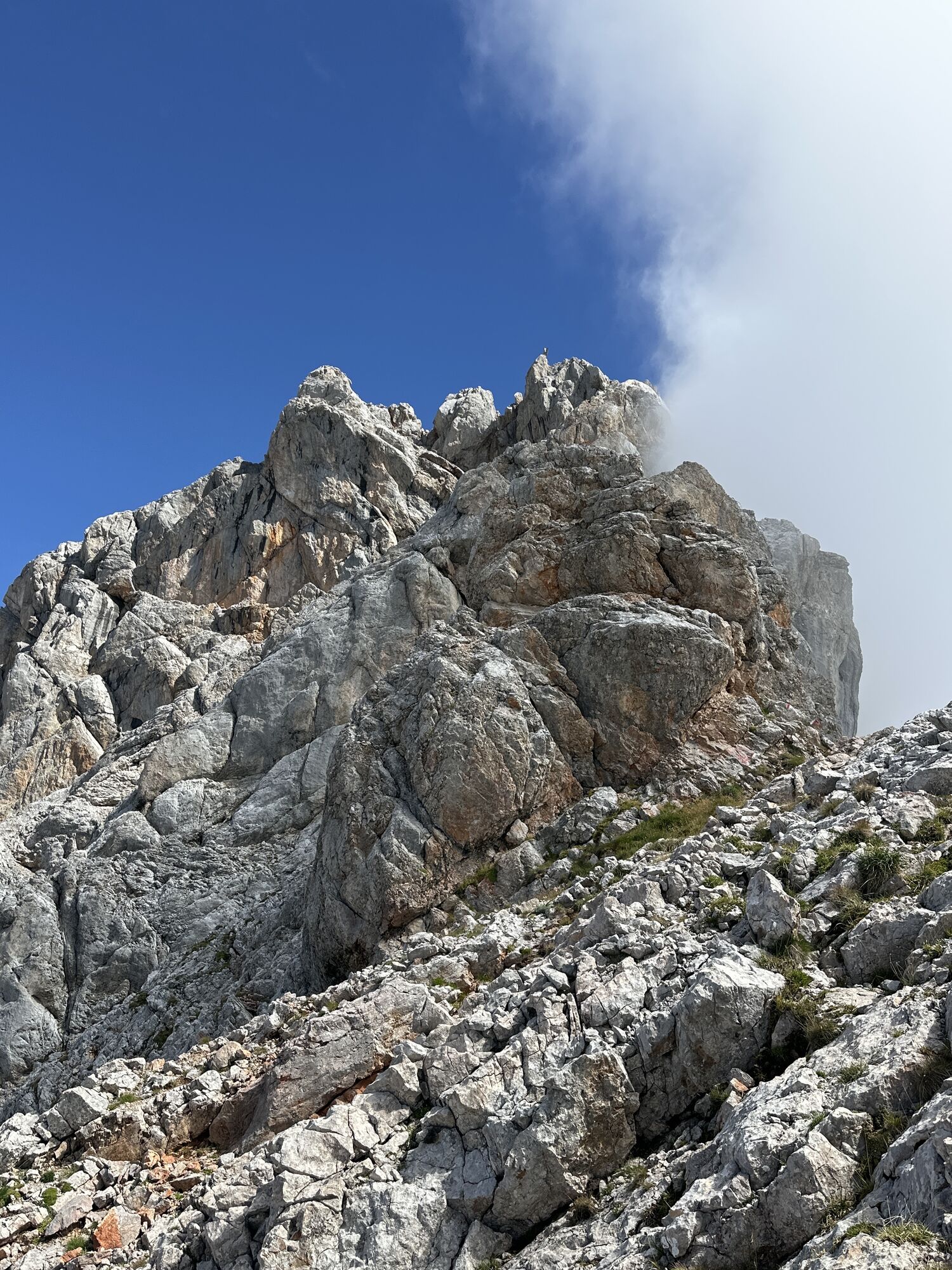
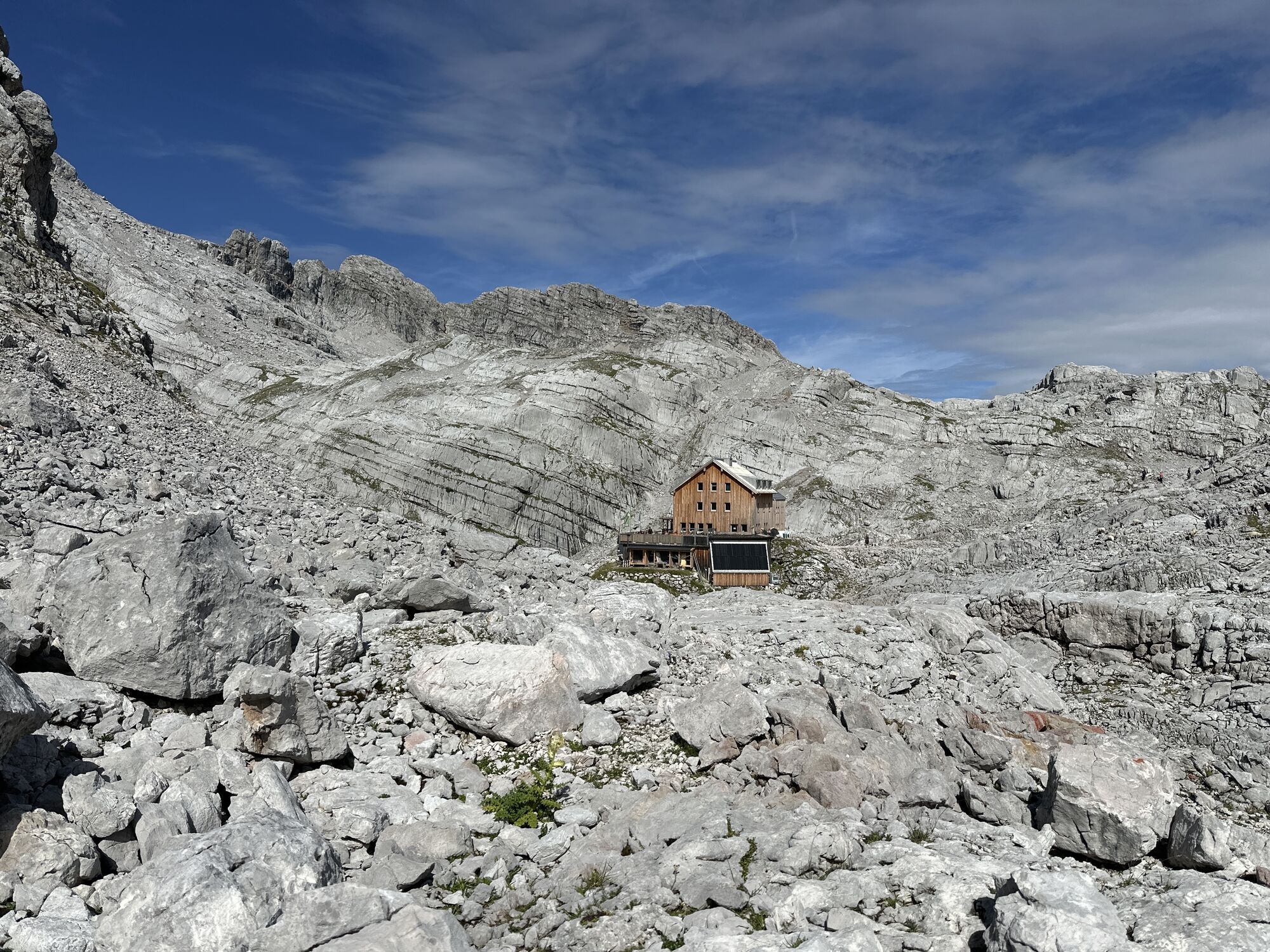
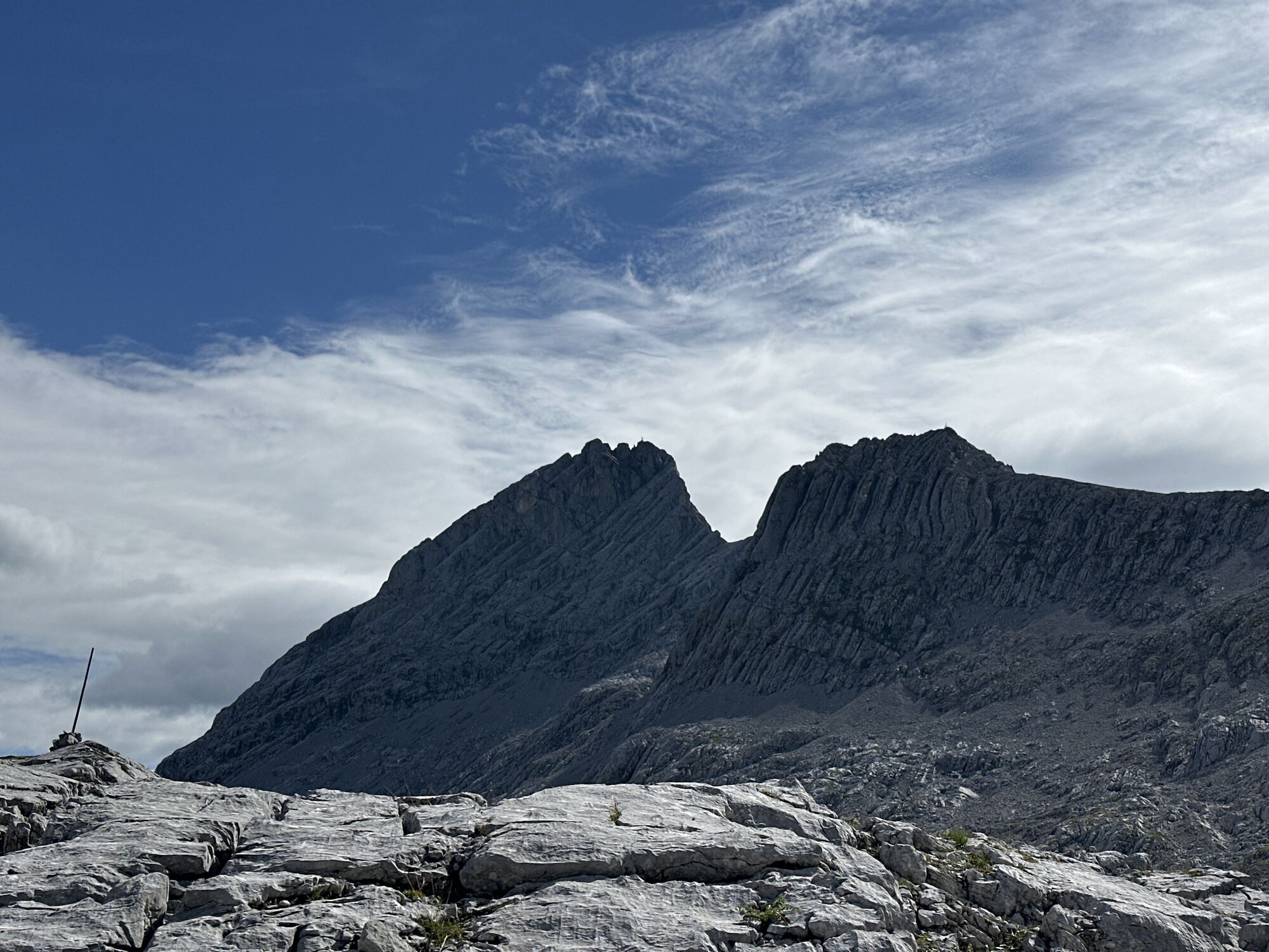
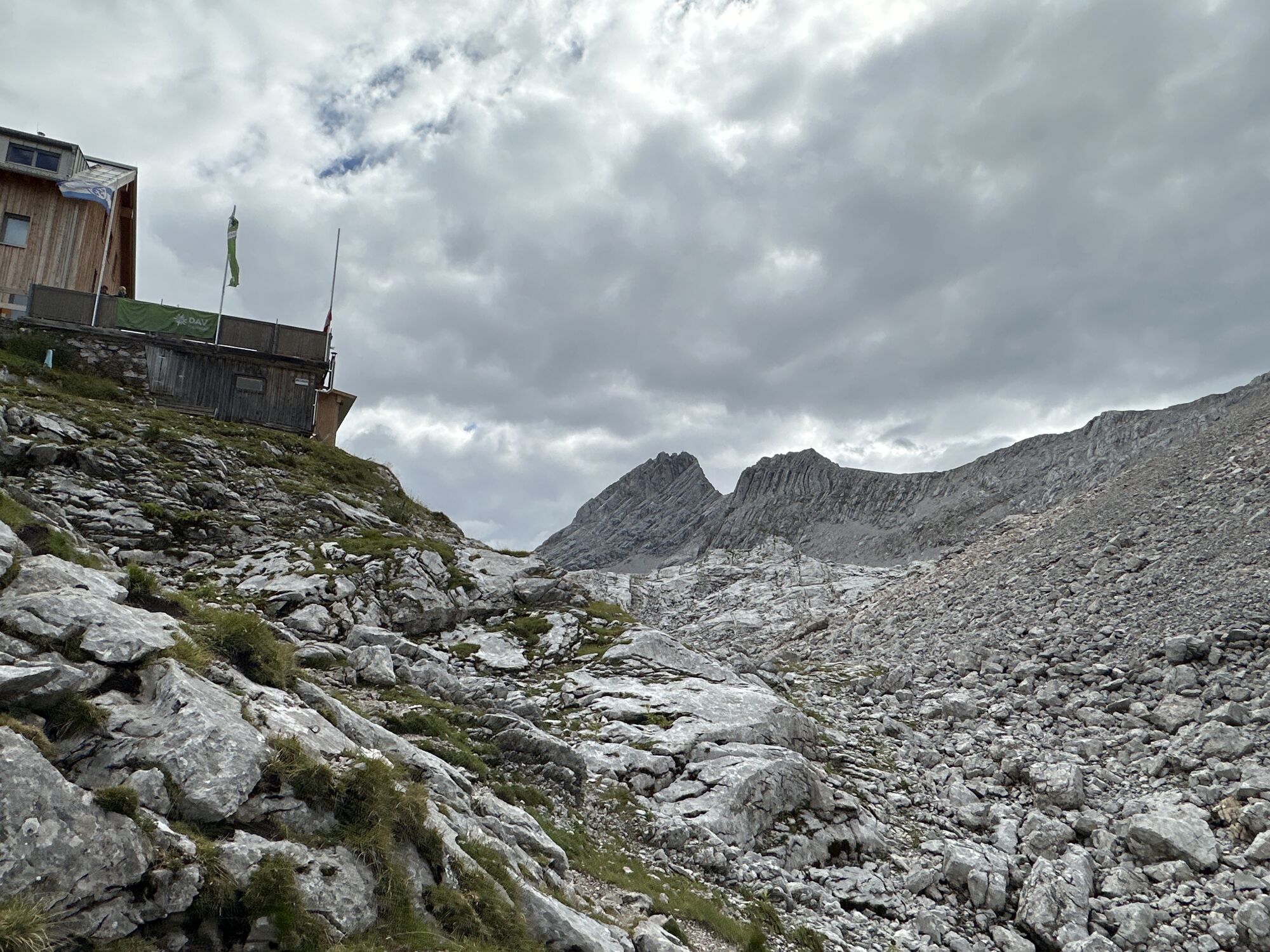
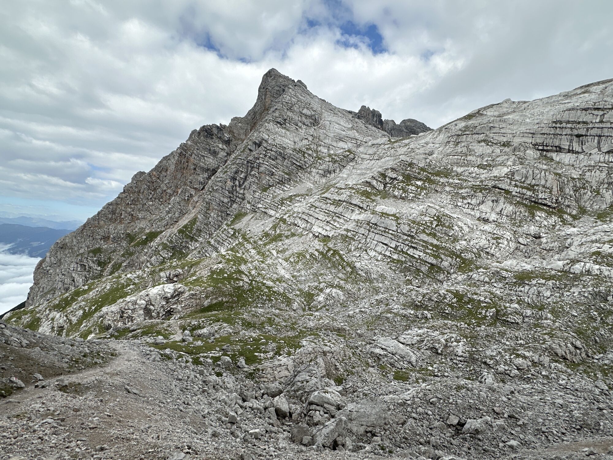
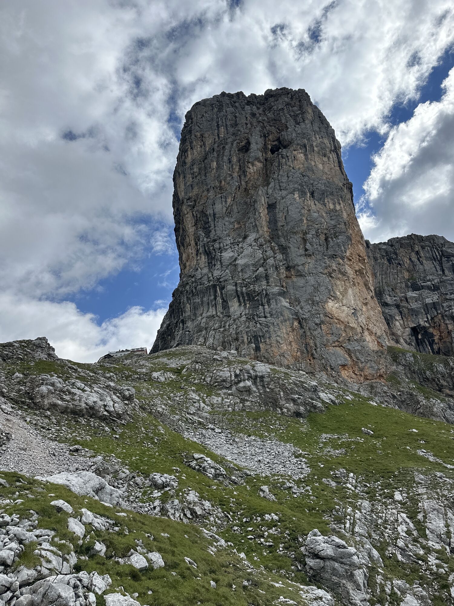
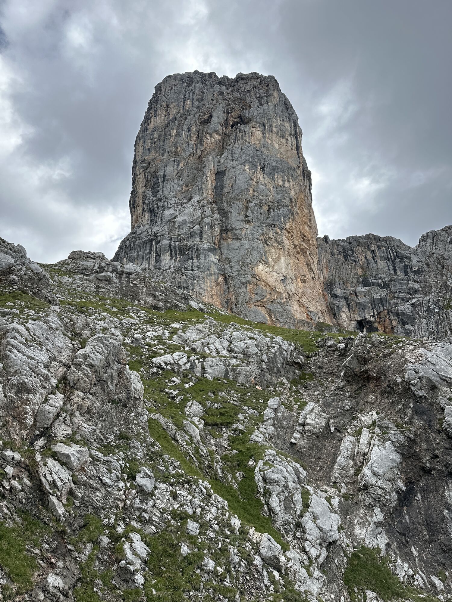
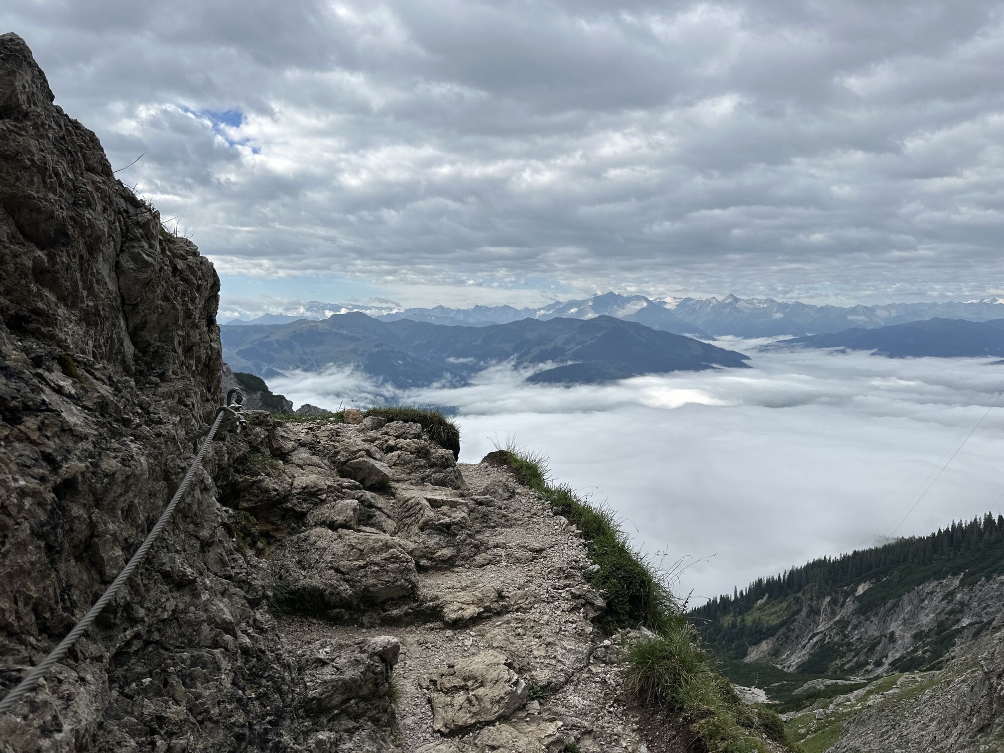
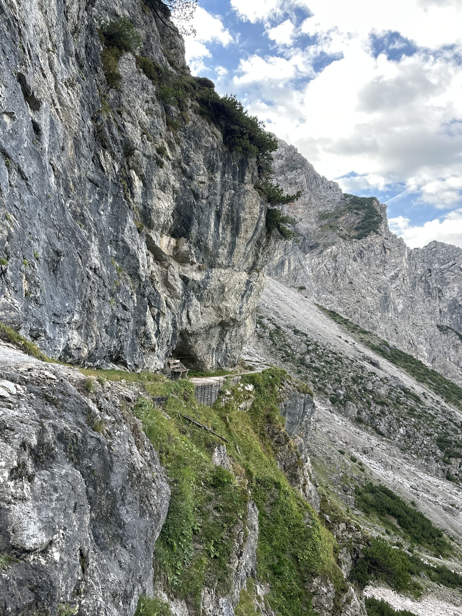
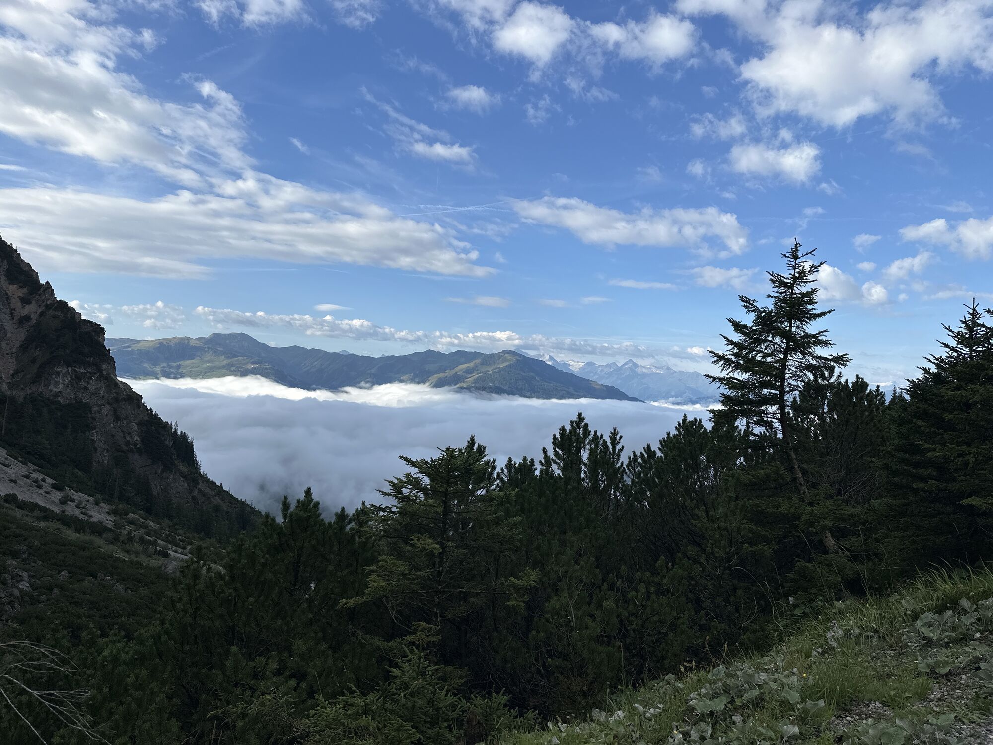
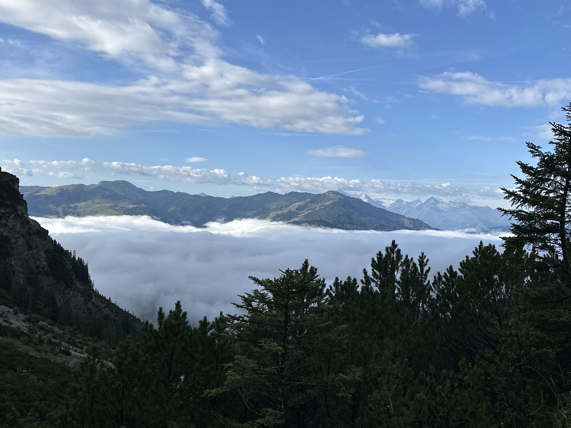
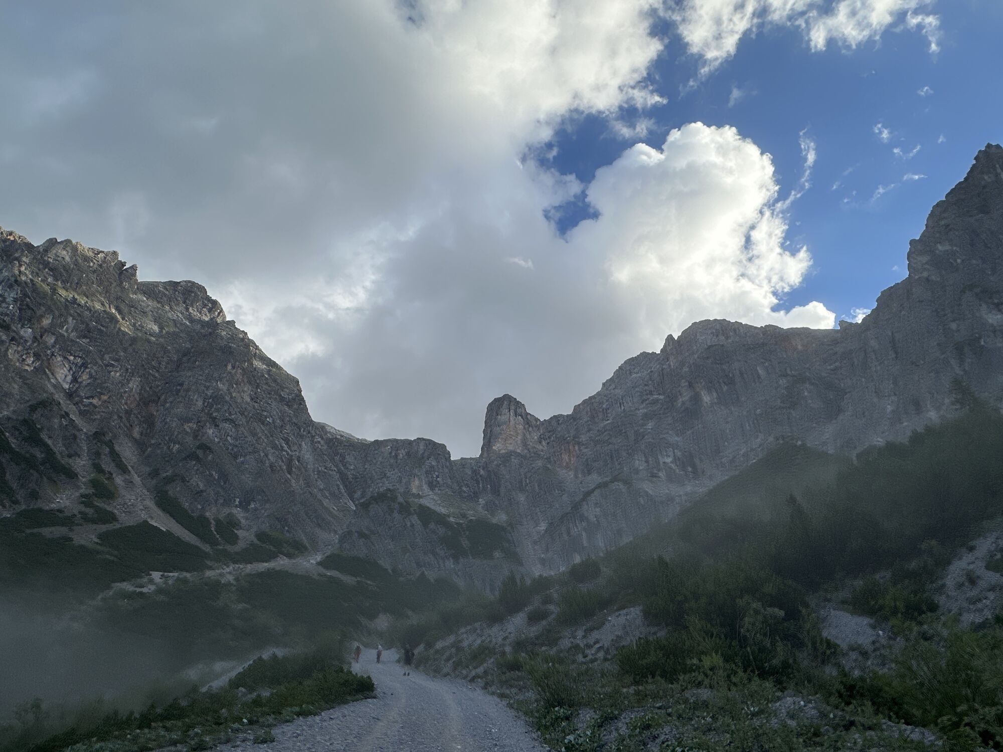
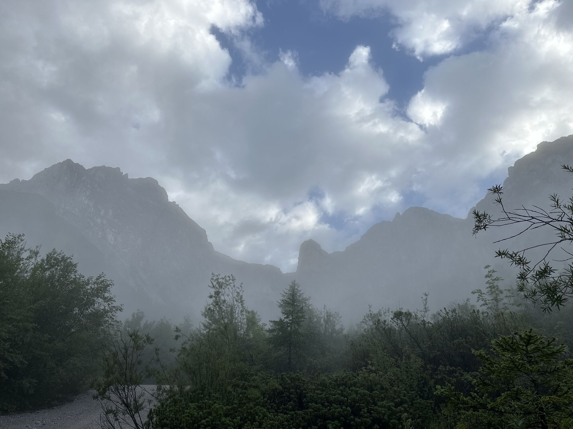
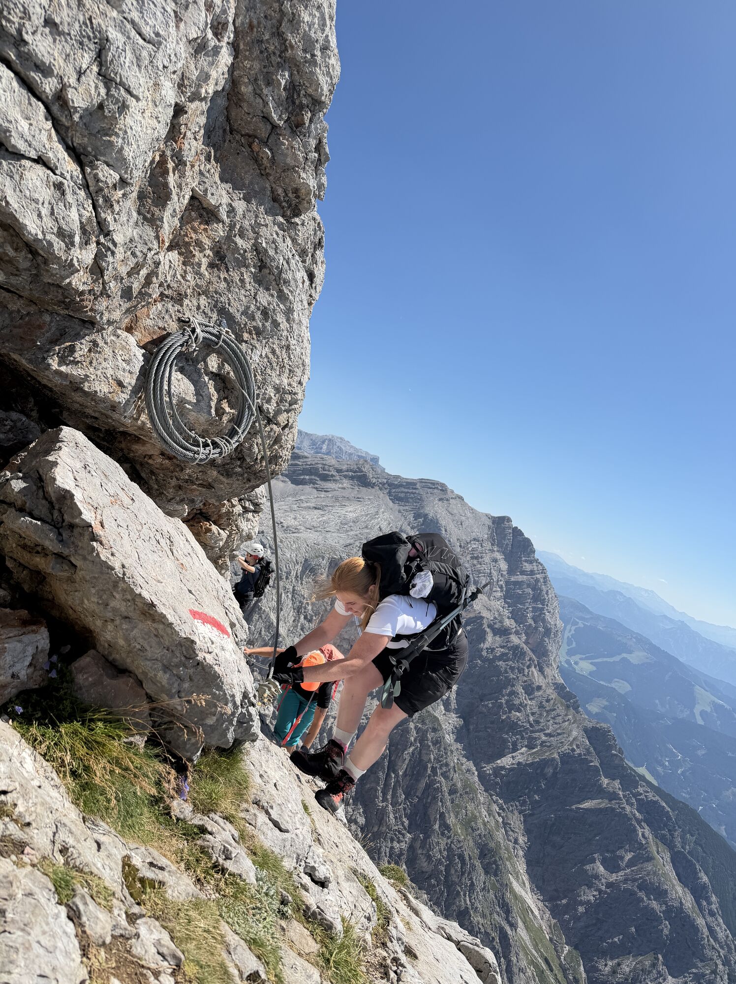
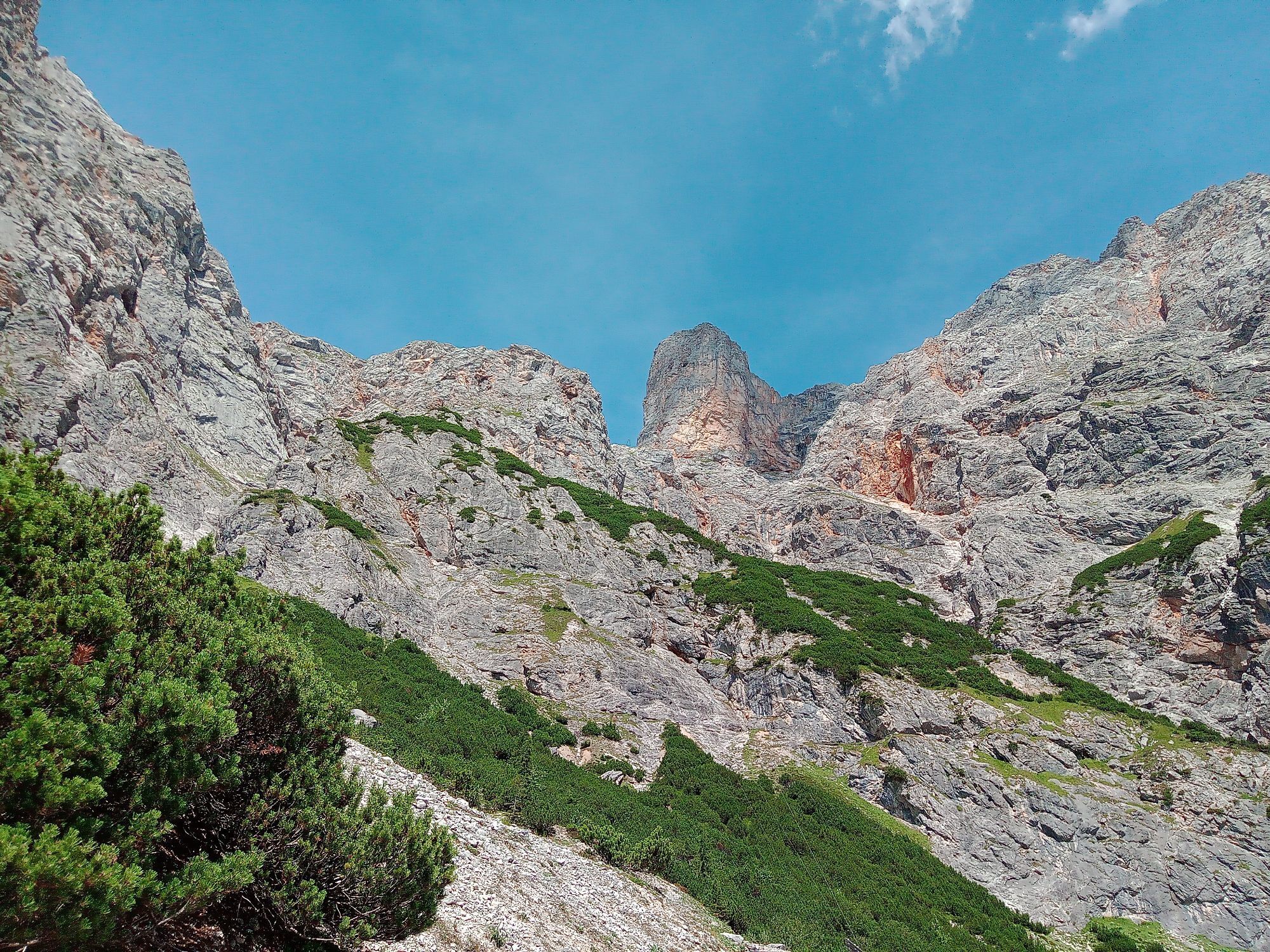
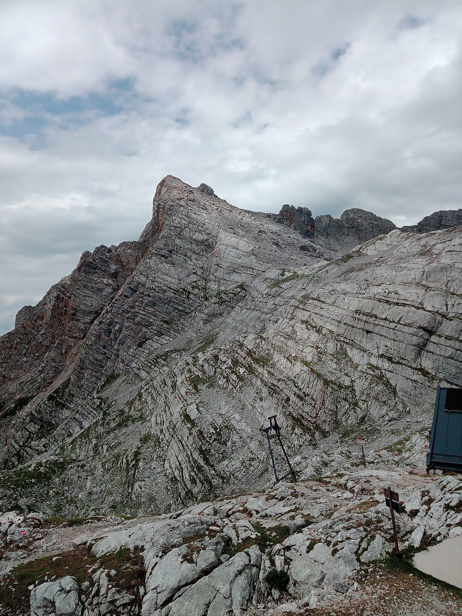
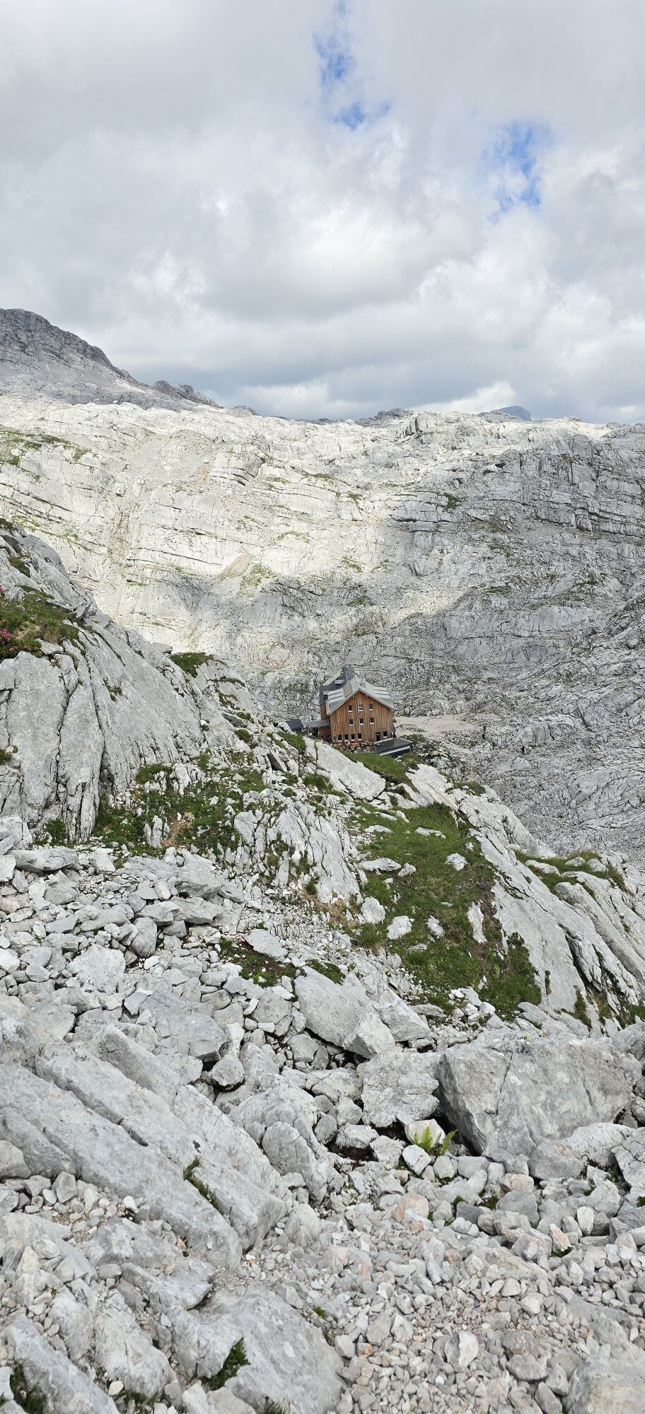
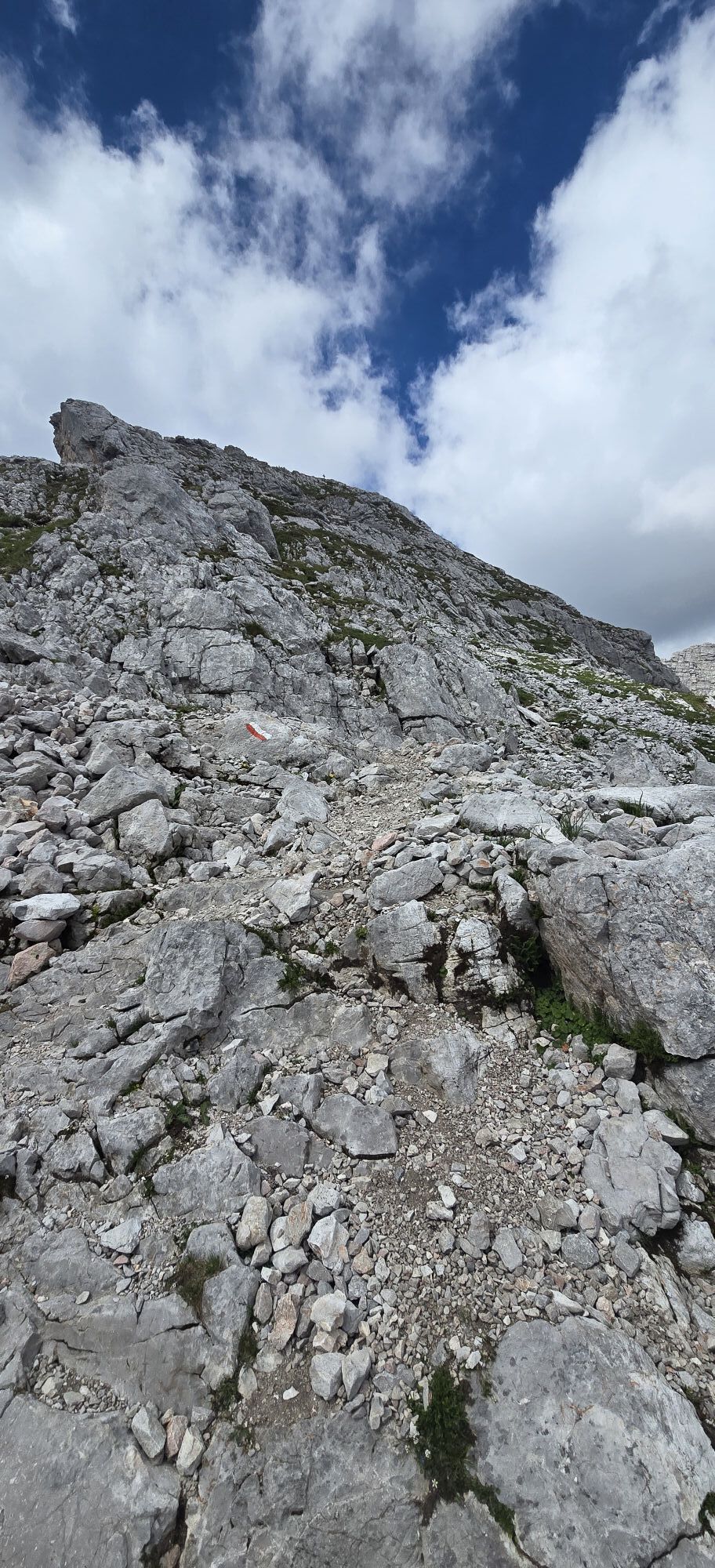
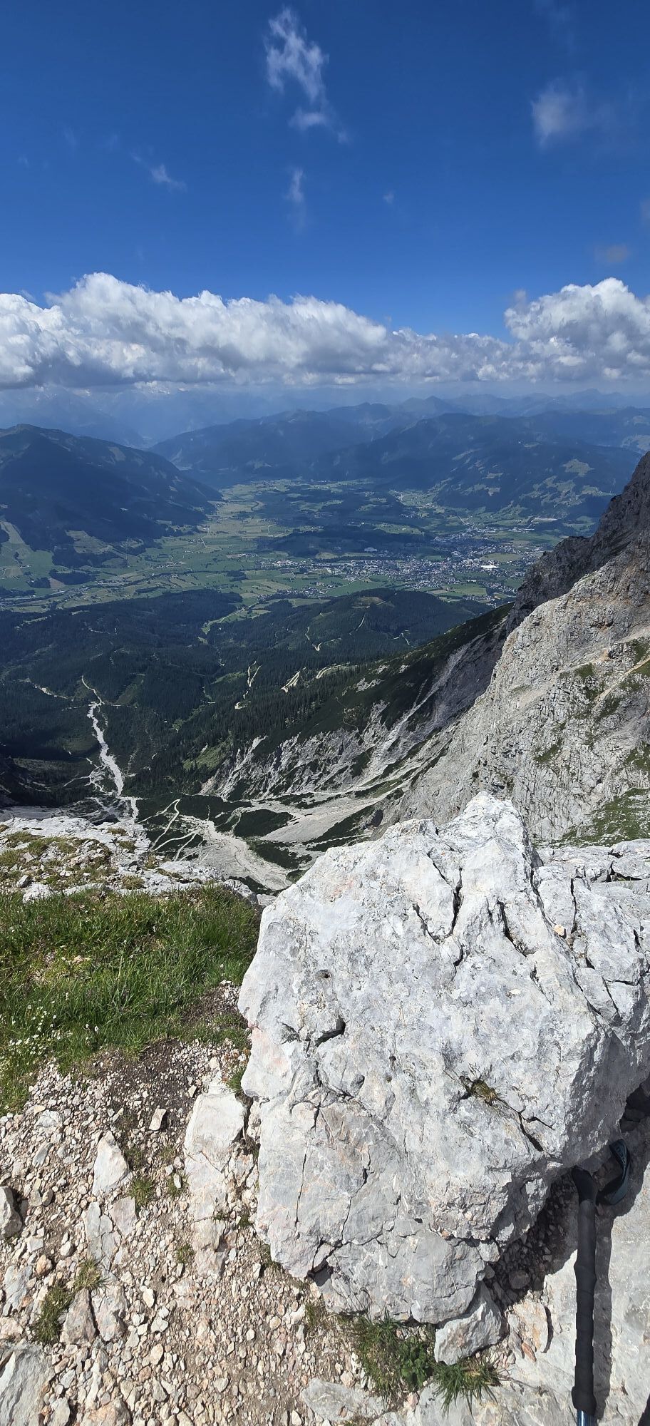
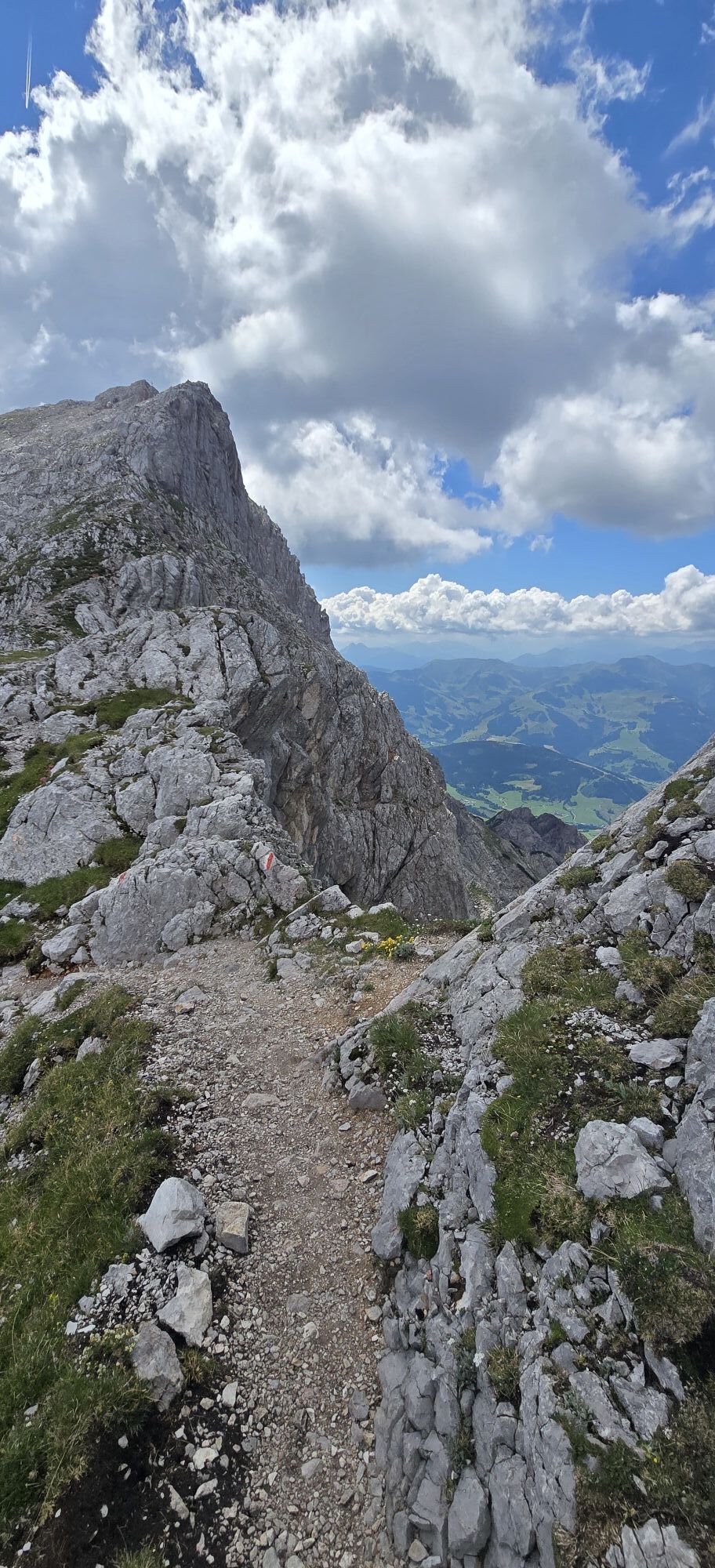
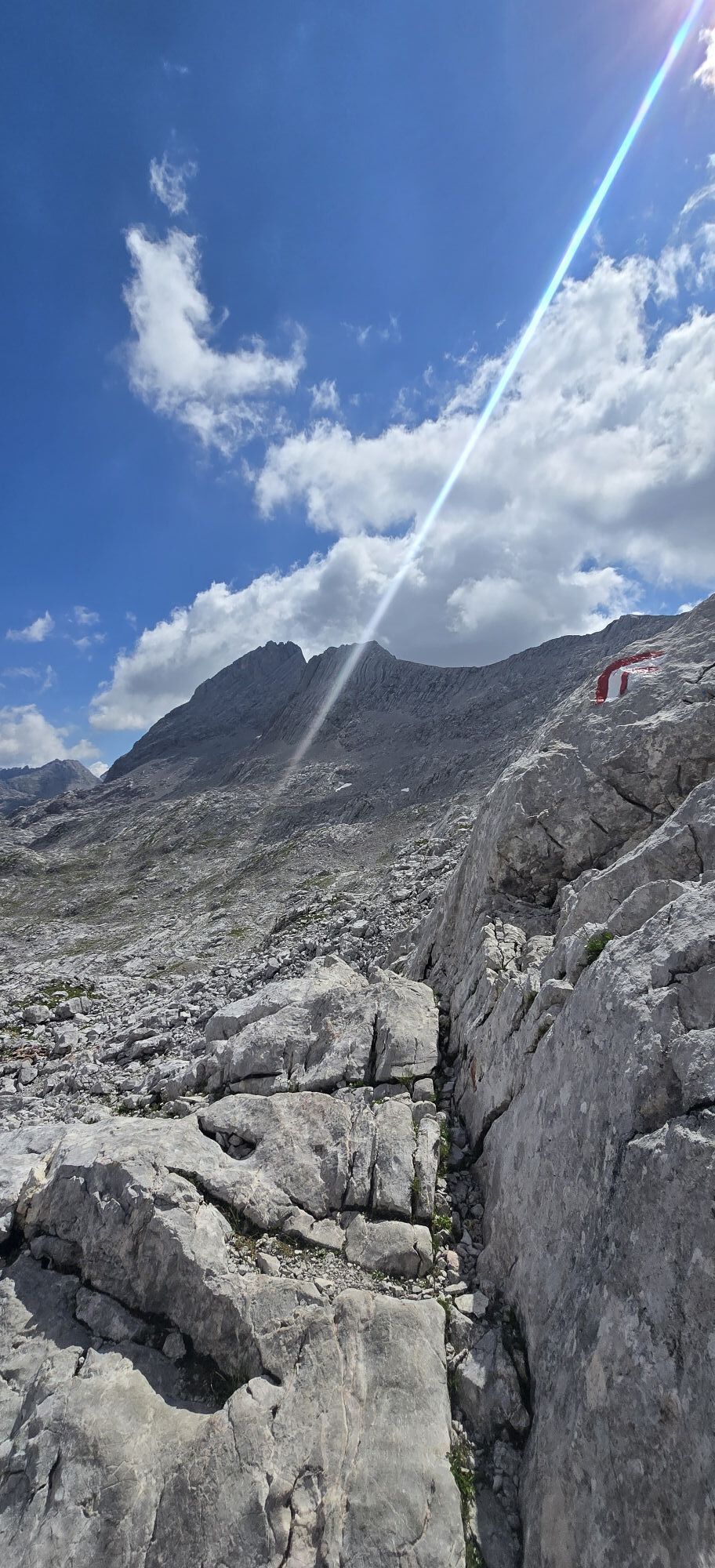
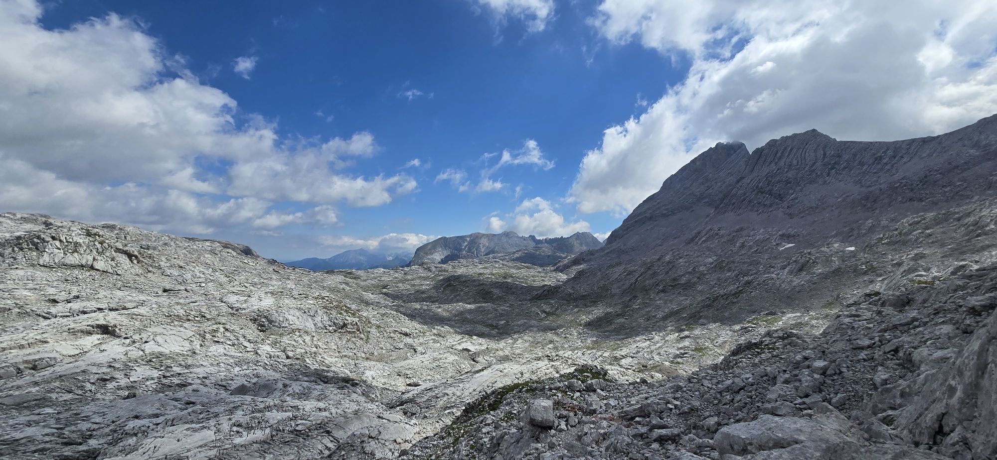
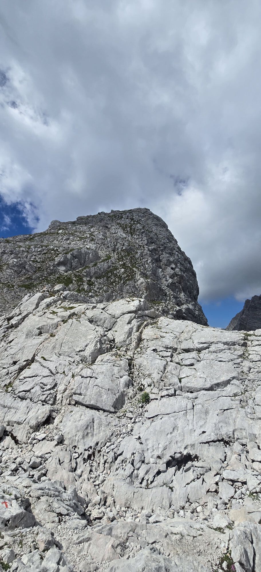
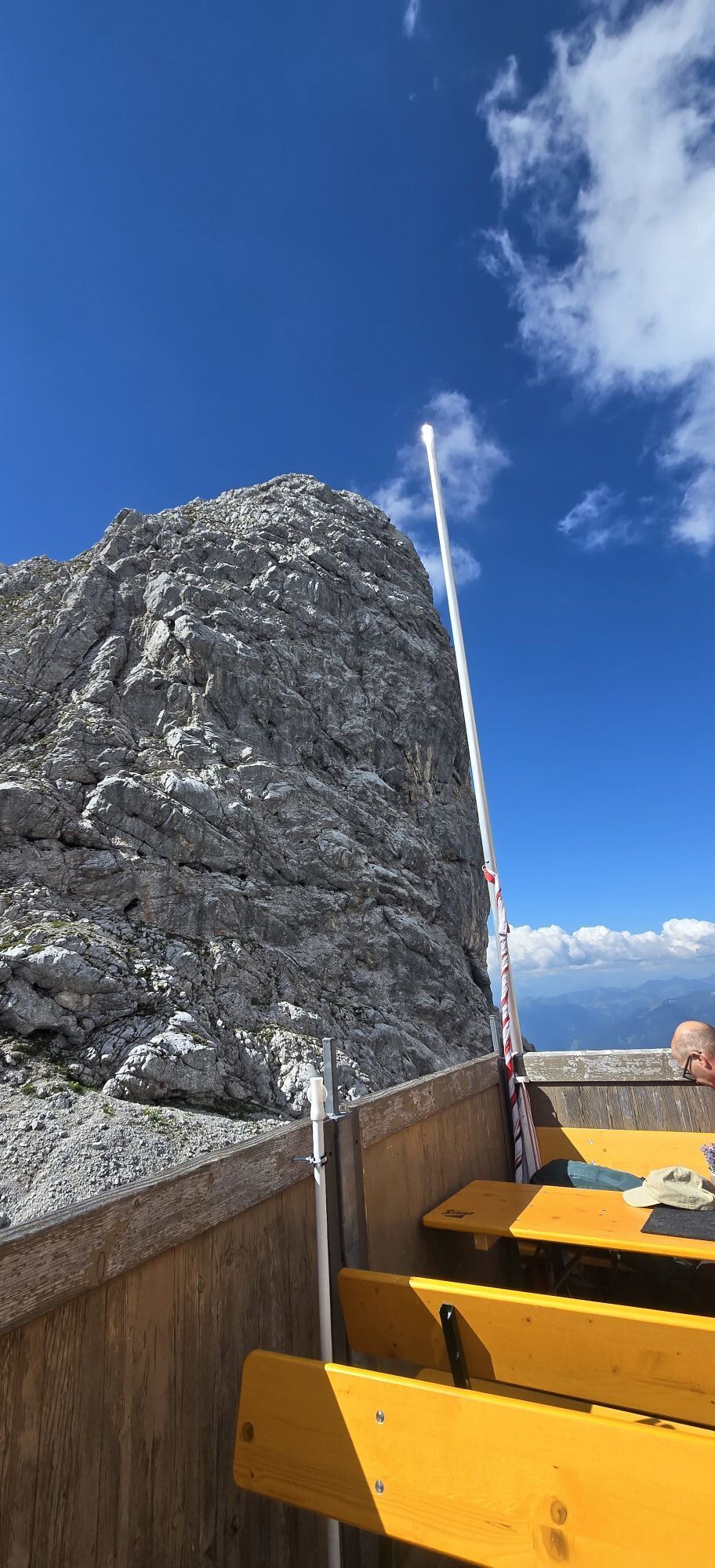
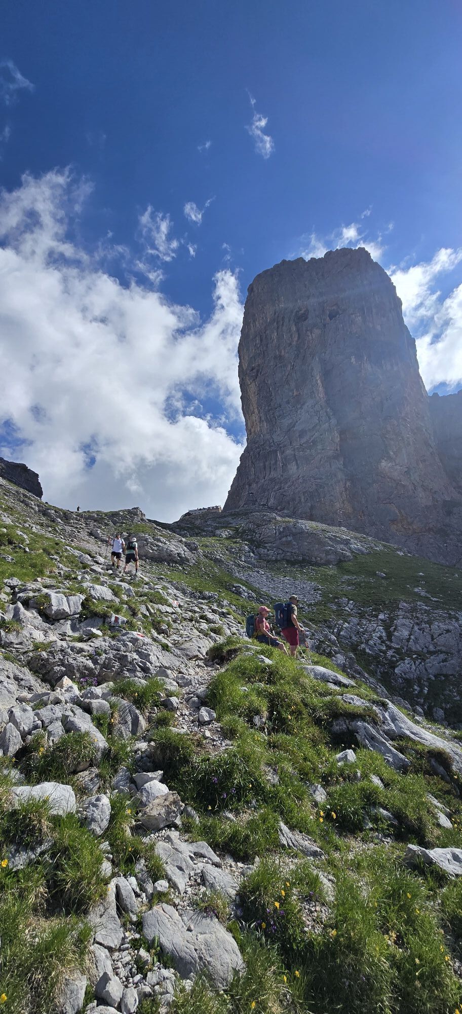
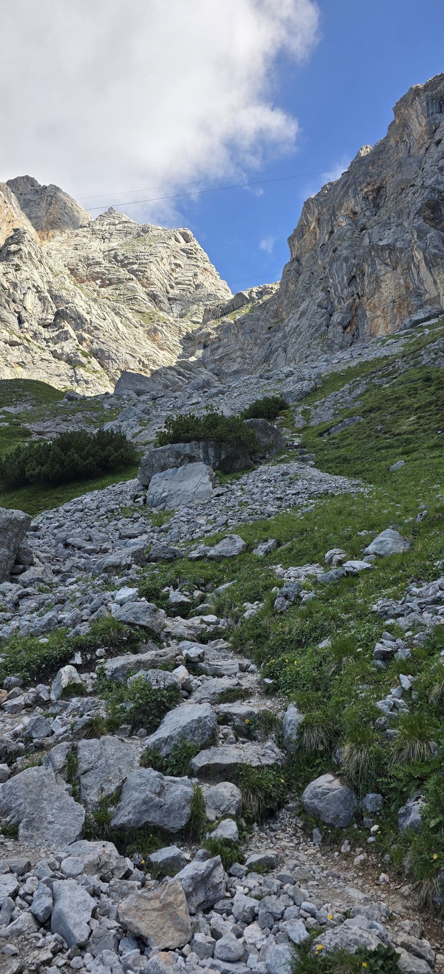
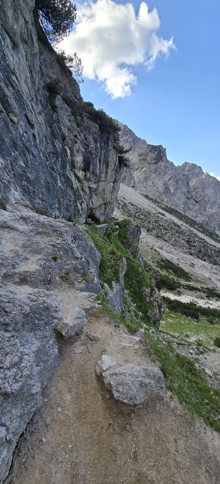
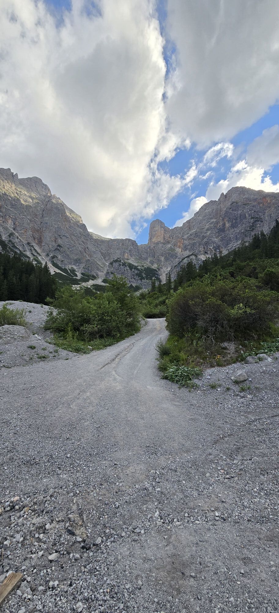
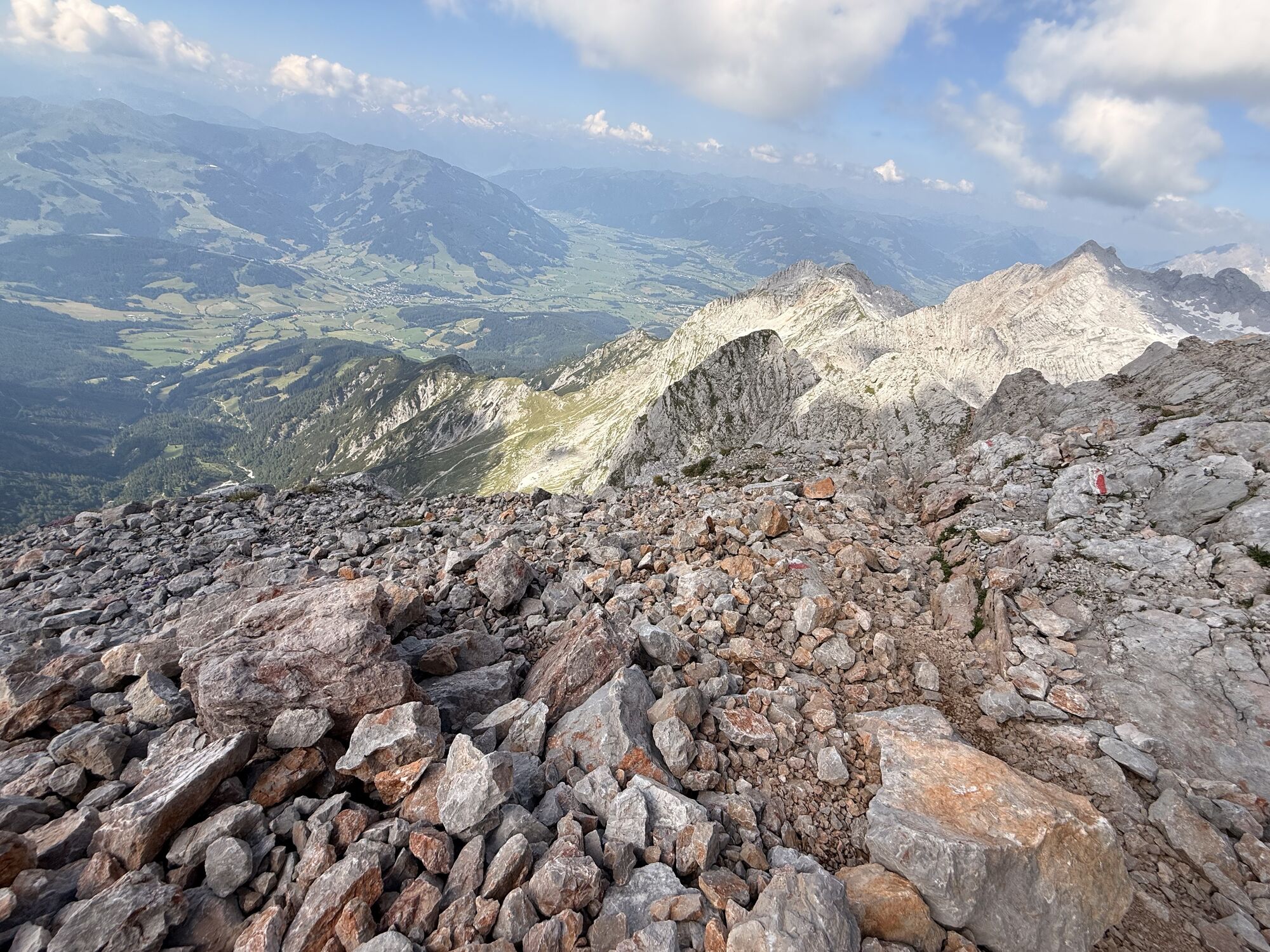
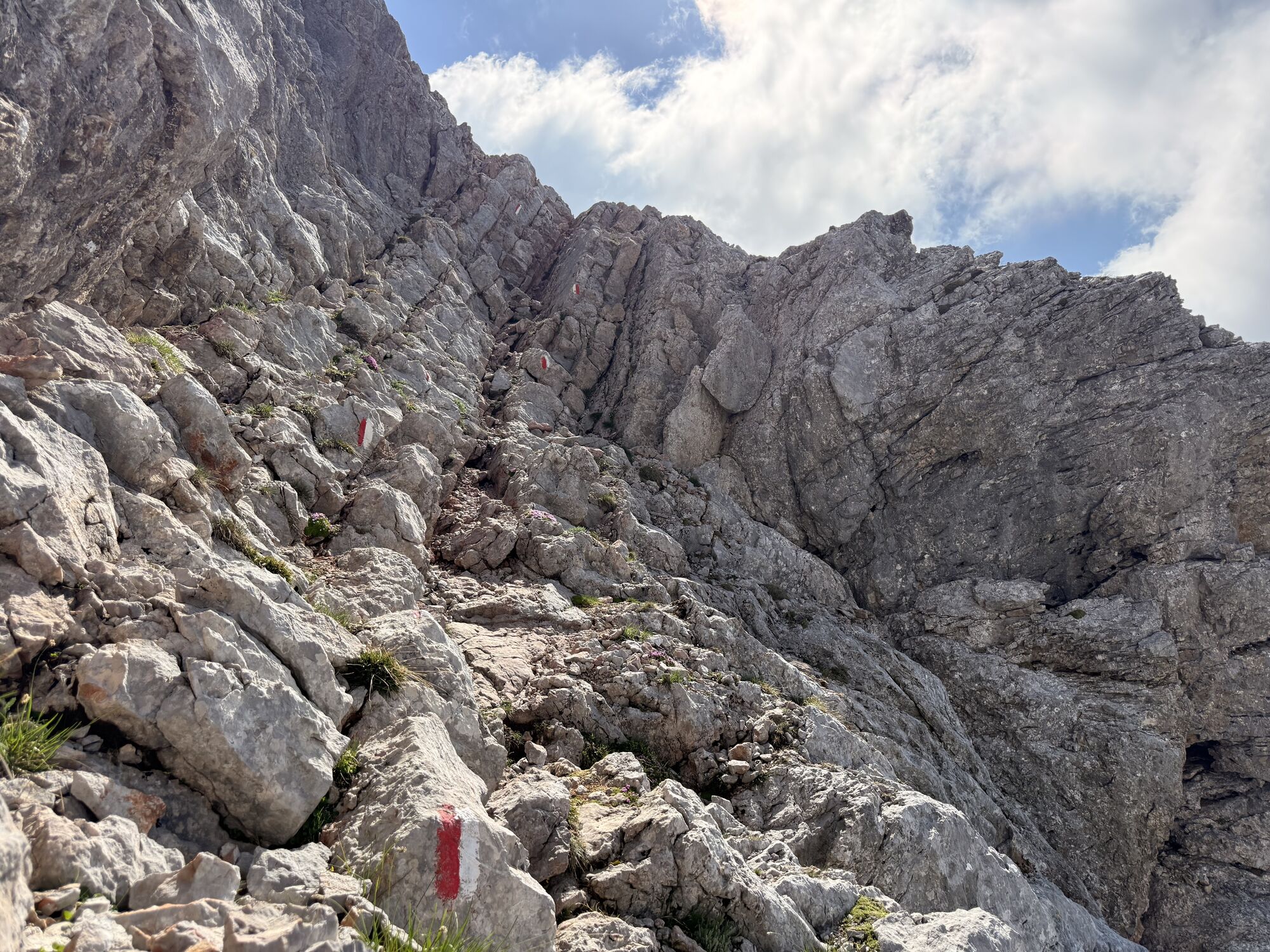
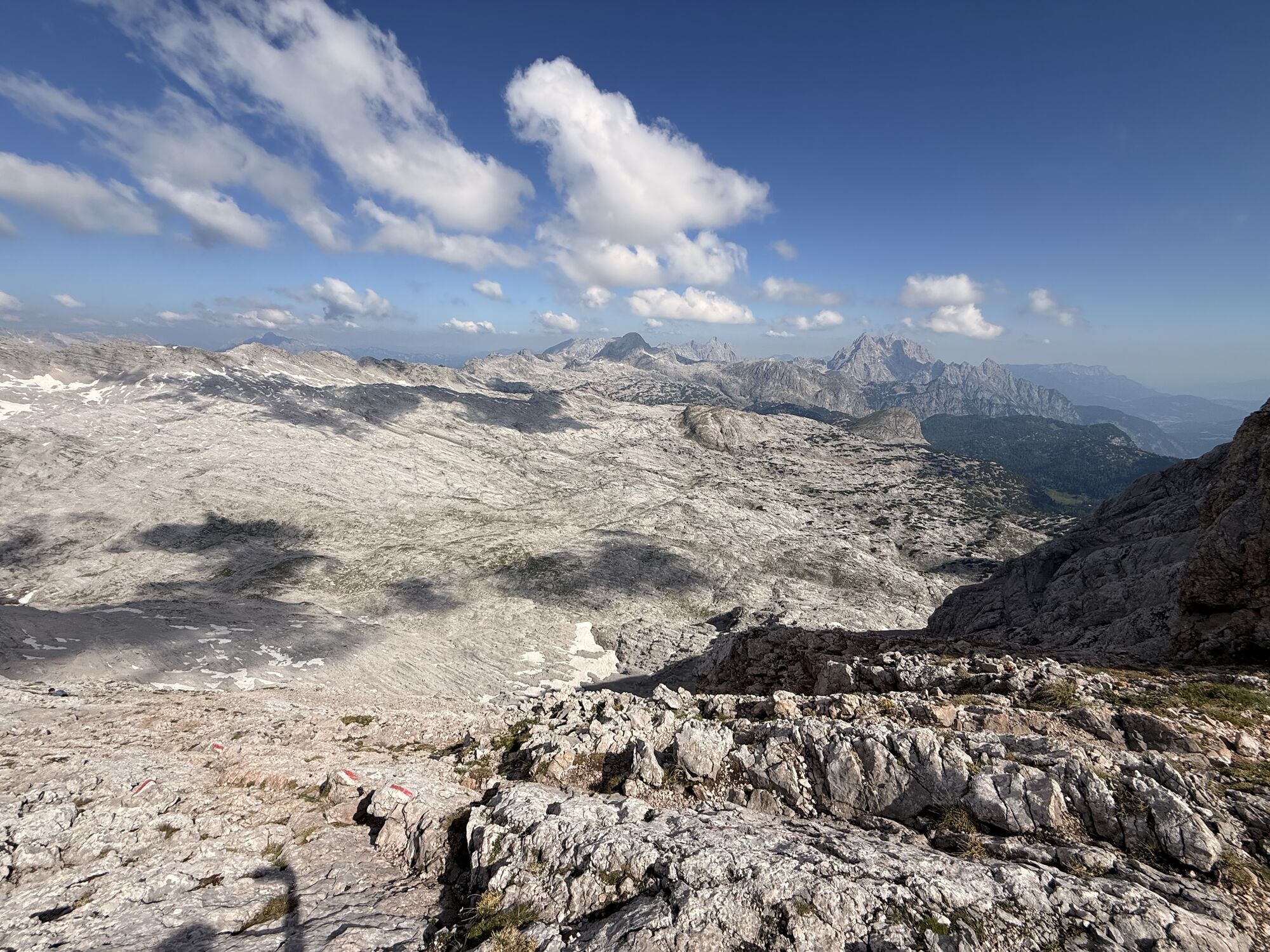
This mountain route in the middle of the Steinernes Meer requires surefootedness and a head for heights. The path runs along a narrow ridge with exposed sections and includes some climbing parts. The effort...
This mountain route in the middle of the Steinernes Meer requires surefootedness and a head for heights. The path runs along a narrow ridge with exposed sections and includes some climbing parts. The effort is rewarded with a breathtaking view over the Steinernes Meer and the unique summit cross of the Schönfeldspitze.

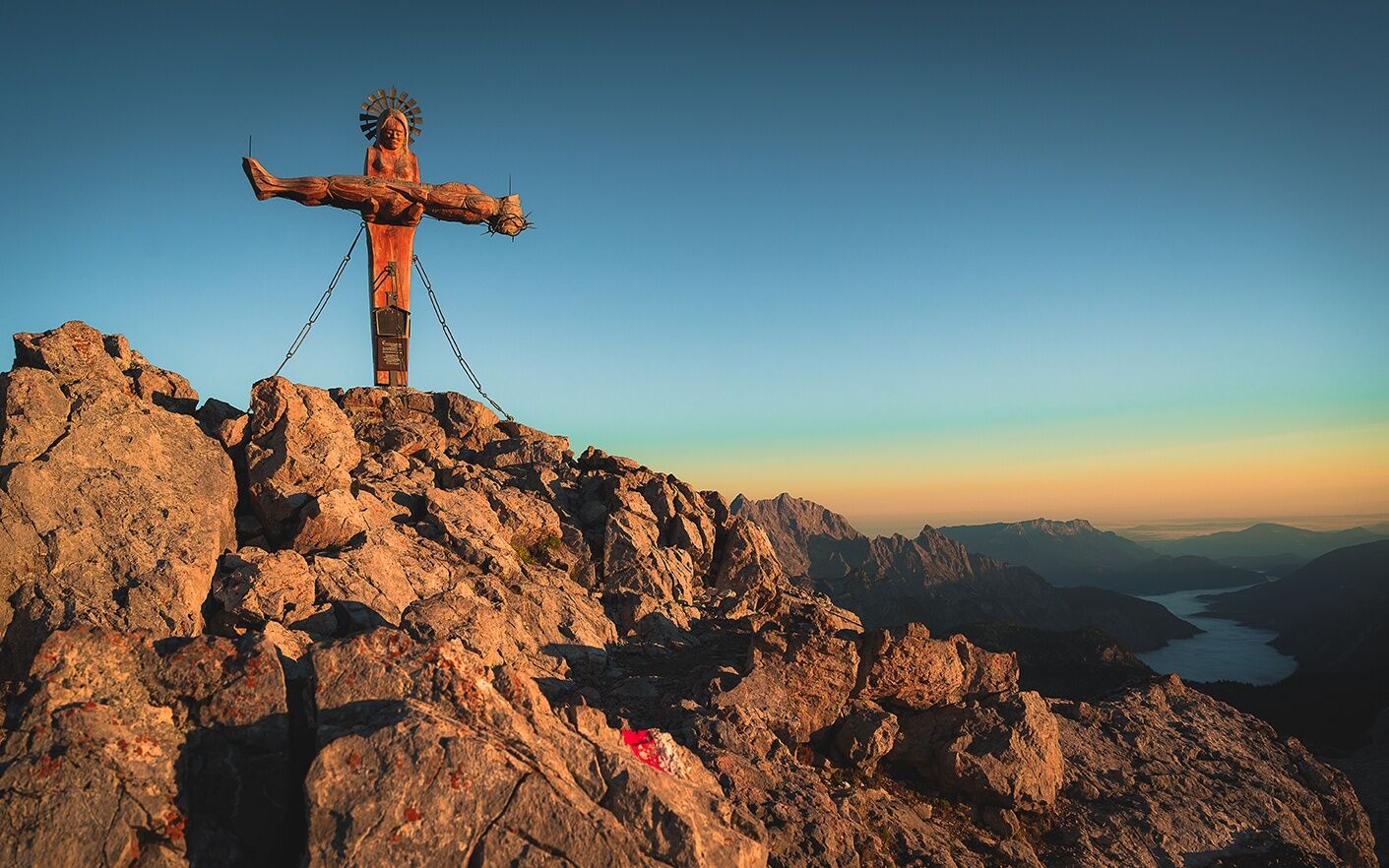
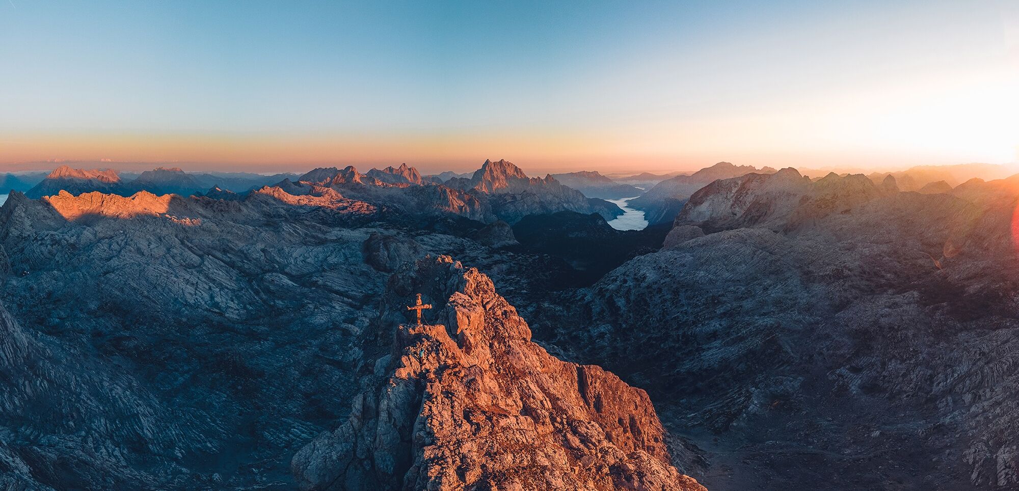
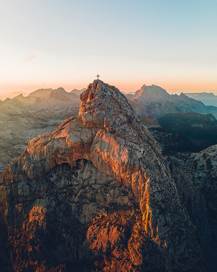

Note: The ascent requires surefootedness and a head for heights
Hiking boots, daypack, map material
Coming from Zell am See or Lofer via Saalfelden to Maria Alm. Pass through the village where you then turn west at a bridge (signs for Riemannhaus), follow the road north until you reach the parking lot.
Maria Alm parking lot Riemannhaus
T5
Possibility to stop: Riemannhaus
Mountain guides: www.berg-abenteuer.at





Aktivity počas prehliadky
-

Schönfeldspitze, Salzburg/Österreich
04.10.2026 – Turistika -
Maria Alm am Steinernen Meer, Salzburg/Österreich
04.10.2026 – Turistika -
Maria Alm am Steinernen Meer, Salzburg/Österreich
03.10.2026 – Turistika -
Schönfeldspitze, Salzburg/Österreich
02.10.2026 – Vysoké turné -
Maria Alm am Steinernen Meer, Salzburg/Österreich
27.09.2026 – Turistika -
Maria Alm am Steinernen Meer, Salzburg/Österreich
26.09.2026 – Horská turistika -

Maria Alm am Steinernen Meer, Salzburg/Österreich
20.09.2026 – Turistika -
Maria Alm am Steinernen Meer, Salzburg/Österreich
20.09.2026 – Turistika -
Maria Alm am Steinernen Meer, Salzburg/Österreich
19.09.2026 – Turistika -

Maria Alm am Steinernen Meer, Salzburg/Österreich
19.09.2026 – Turistika -
Maria Alm am Steinernen Meer, Salzburg/Österreich
19.09.2026 – Turistika -

Schönfeldspitze, Salzburg/Österreich
19.09.2026 – Turistika -
Maria Alm am Steinernen Meer, Salzburg/Österreich
16.09.2026 – Turistika -
Maria Alm am Steinernen Meer, Salzburg/Österreich
15.09.2026 – Turistika -

Maria Alm am Steinernen Meer, Salzburg/Österreich
15.09.2026 – Horská turistika -

Maria Alm am Steinernen Meer, Salzburg/Österreich
13.09.2026 – Turistika -

Maria Alm am Steinernen Meer, Salzburg/Österreich
07.09.2026 – Horská turistika -
Maria Alm am Steinernen Meer, Salzburg/Österreich
05.09.2026 – Turistika -
Maria Alm am Steinernen Meer, Salzburg/Österreich
05.09.2026 – Turistika -

Maria Alm am Steinernen Meer, Salzburg/Österreich
04.09.2026 – Turistika
Obľúbené výlety v okolí
-
4,4
Maria Alm - Riemannhaus
Turistika 3,99 km -
4,8
Königssee - Kärlinger-Haus
Turistika 10,1 km -
4,5
Wimbachgrieshütte
Turistika 8,30 km -
4,9
Summit stormer route Lauskopf
ťažkéTuristika 8,16 km -
4,8
Summit storming route Taghaube
ťažkéTuristika 6,25 km -
4,6
Seisenberg Gorge
svetloTuristika 2,41 km -
4,4
Schwalbenwand Nr. 80, 81, 82
strednáTuristika 13,0 km -
4,6
Peter-Wiechenthaler Hut
strednáTuristika 4,32 km -
4,6
Steinalm
svetloTuristika 2,71 km -
5,0
Goldtoni - Wandern - Watzmann - Überschreitung
ťažkéVysoké turné 25,3 km
Turistika a stopovanie


Nenechajte si ujsť ponuky a inšpiráciu na ďalšiu dovolenku
Vaša e-mailová adresa bol pridaný do poštového zoznamu.





