







Grasenbergweg - Wandbauer - Lohfeyer
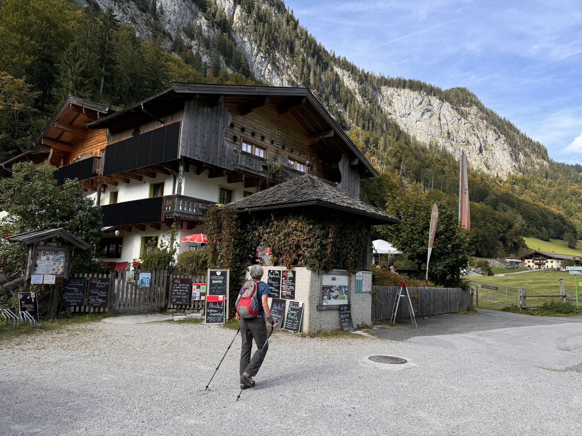
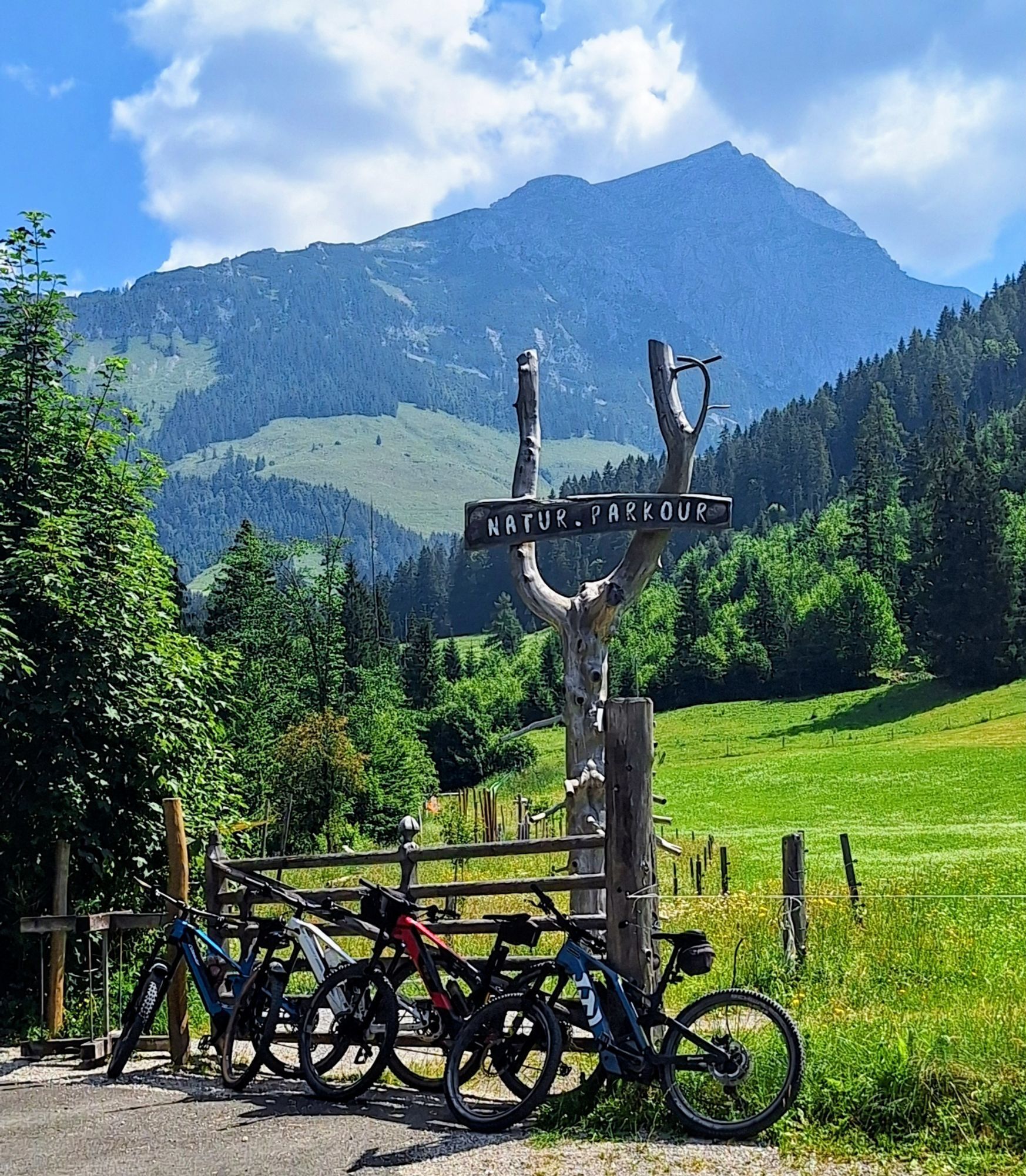
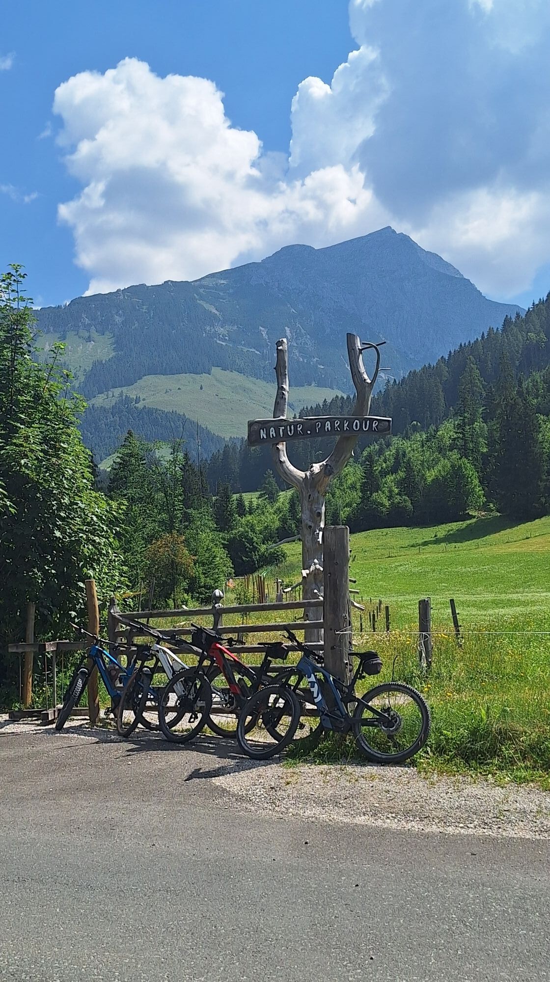
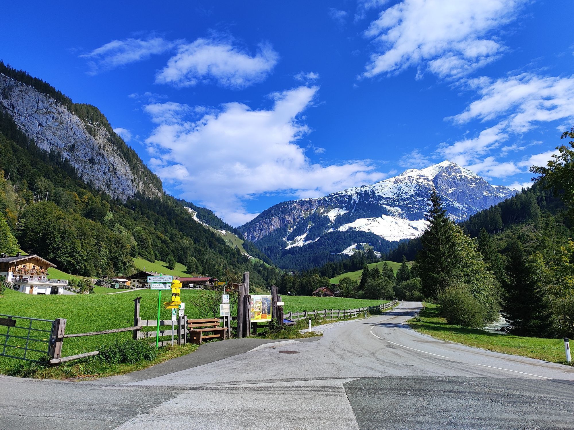

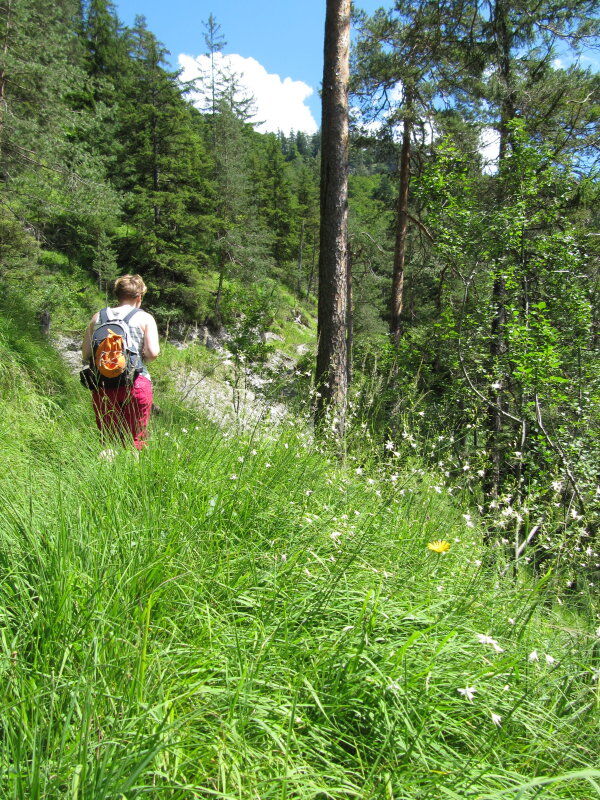

The route starts at the municipal office in Weißbach and leads over the ÖAV holiday meadow and the Grasenbergweg towards Goldener Zweig. From here it goes via the Wandbauer to the Gasthof Lohfeyer.
Clothing: Comfortable hiking shoes, breathable clothing depending on the weather (T-shirt, light pants).
Equipment: Small backpack, sunscreen, hat or cap, first aid kit, mobile phone.
Provisions: Sufficient water, snacks (energy bars, nuts, dried fruits).
Navigation aids: Map or hiking app, compass (optional).
Others: Light pocket knife or multitool, insect repellent (if needed).
As needed: Rain jacket, sunglasses.
Via the B311 to Weißbach near Lofer (Directions)
By bus line 260 to the stop Weißbach - municipal office (timetable)
The return trip is possible with the AlmErlebnisBus (AlmErlebnisBus)
Parking: Weißbach municipal office (€4.00 per day)
Relaxed return trip possible with the AlmErlebnisBus! (Timetable AlmErlebnisBus)
Získajte prehľad
Vždy naživo na mieste s viac ako 9 500 webovými kamerami. bergfex Ako používateľ Pro si teraz môžete pozrieť príslušné webové kamery pre mnohé zájazdy v aplikácii zájazdy z. Môžete si tak priamo prezerať aktuálne podmienky.
Obľúbené výlety v okolí
-
4,8
Königssee - Kärlinger-Haus
Turistika 10,1 km -
4,5
Wimbachgrieshütte
Turistika 8,30 km -
4,3
Halsalm
Turistika 6,43 km -
4,6
Steinalm
svetloTuristika 2,71 km -
5,0
Watzmann Überschreitung an einem Tag
ťažkéTuristika 23,9 km -
4,4
Peter-Wiechenthaler Hut
strednáTuristika 4,32 km -
4,9
Ramsau/Hintersee-Runde
svetloTuristika 9,44 km -
4,8
von Schönau am Königssee zum Watzmannhaus und zurück
strednáTuristika 17,1 km -
5,0
Goldtoni - Wandern - Watzmann - Überschreitung
ťažkéVysoké turné 25,3 km -
4,5
Seisenberg Gorge
svetloTuristika 2,41 km
Turistika a stopovanie


Nenechajte si ujsť ponuky a inšpiráciu na ďalšiu dovolenku
Vaša e-mailová adresa bol pridaný do poštového zoznamu.





