






Bad Vigaun - Schlenken from Liendorf parking lot (10 points)
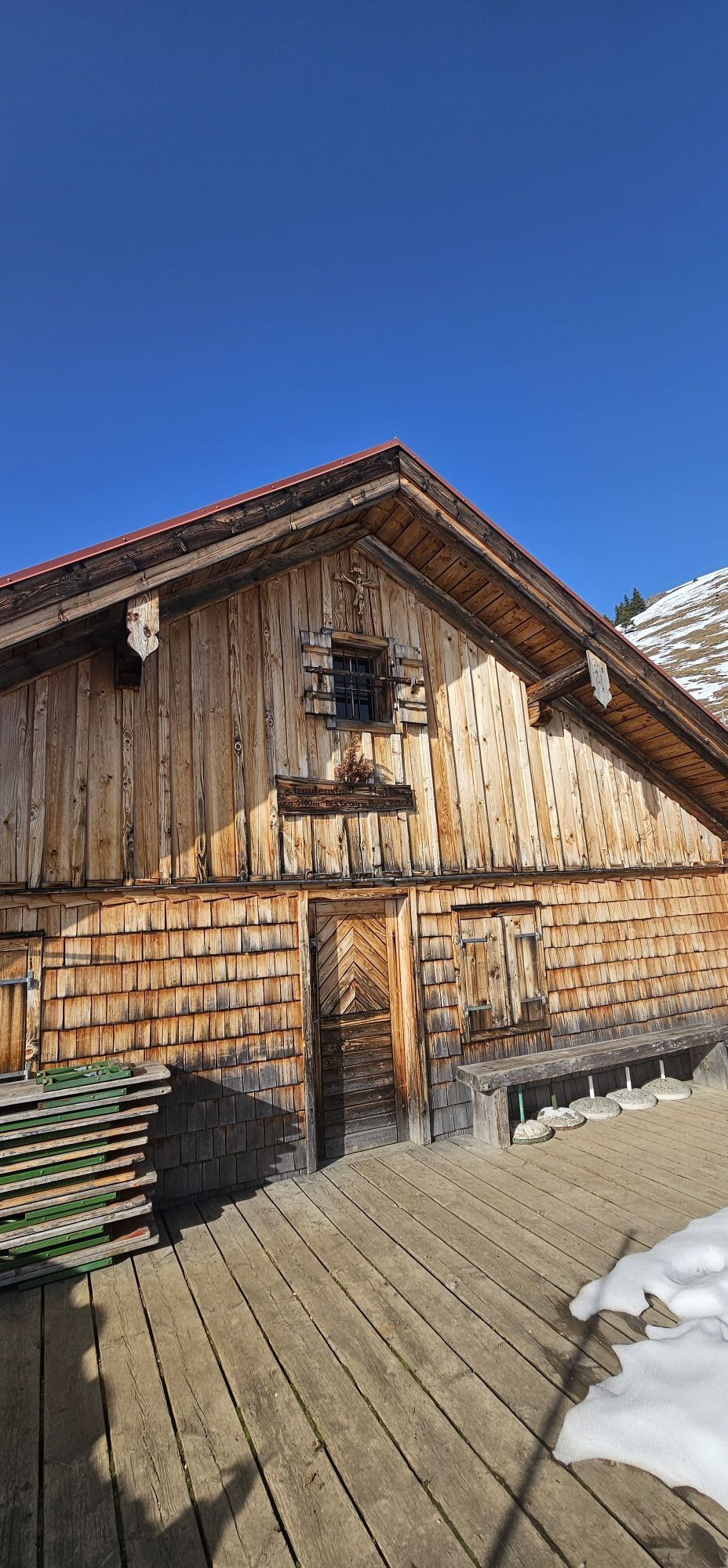
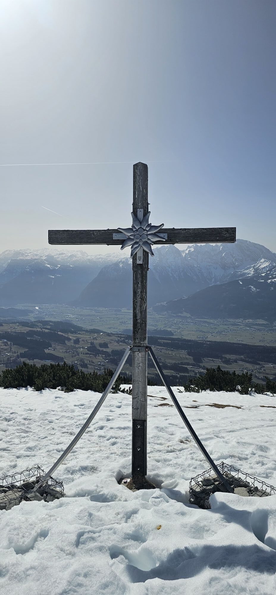
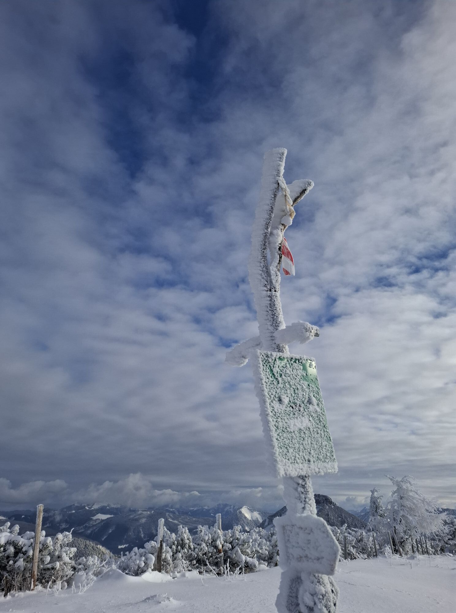
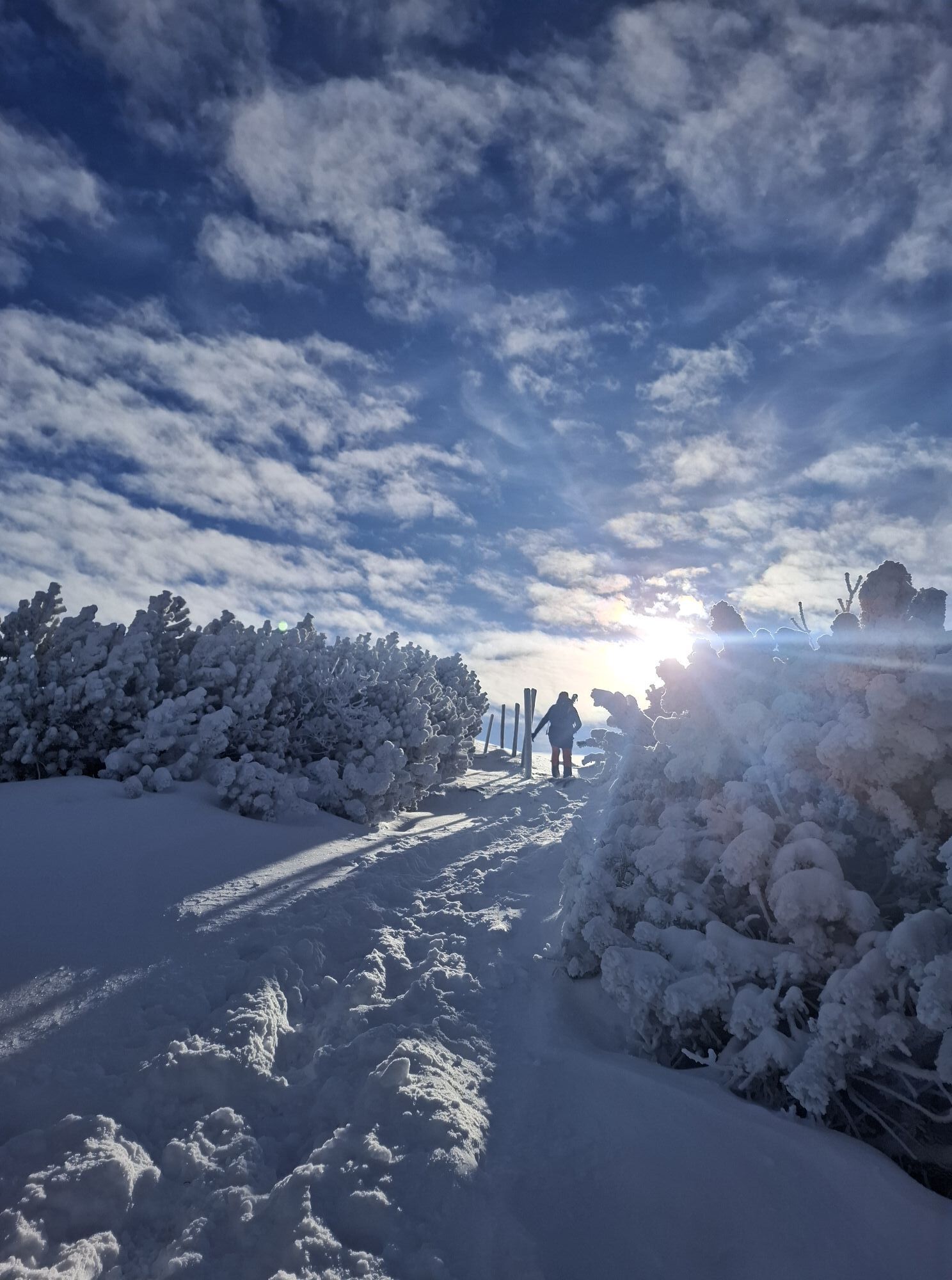

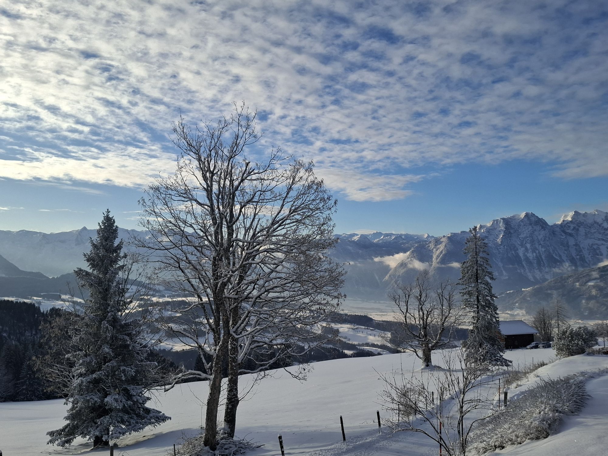
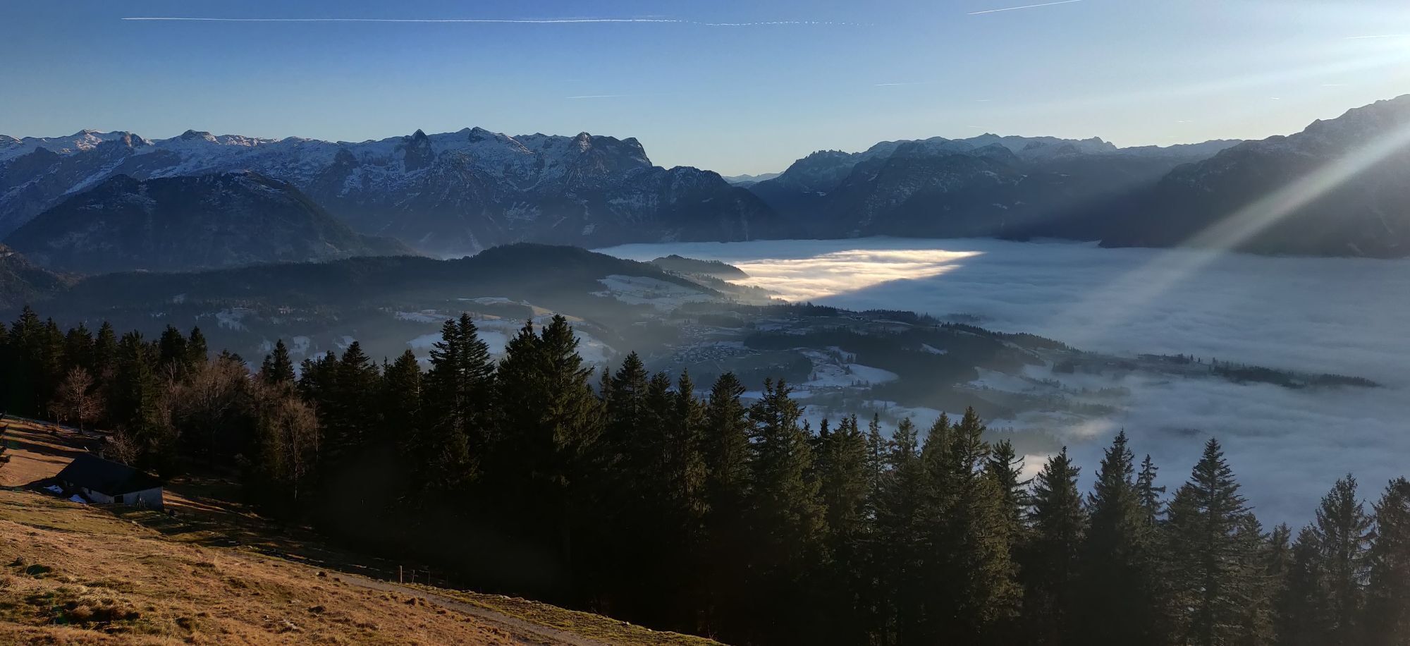
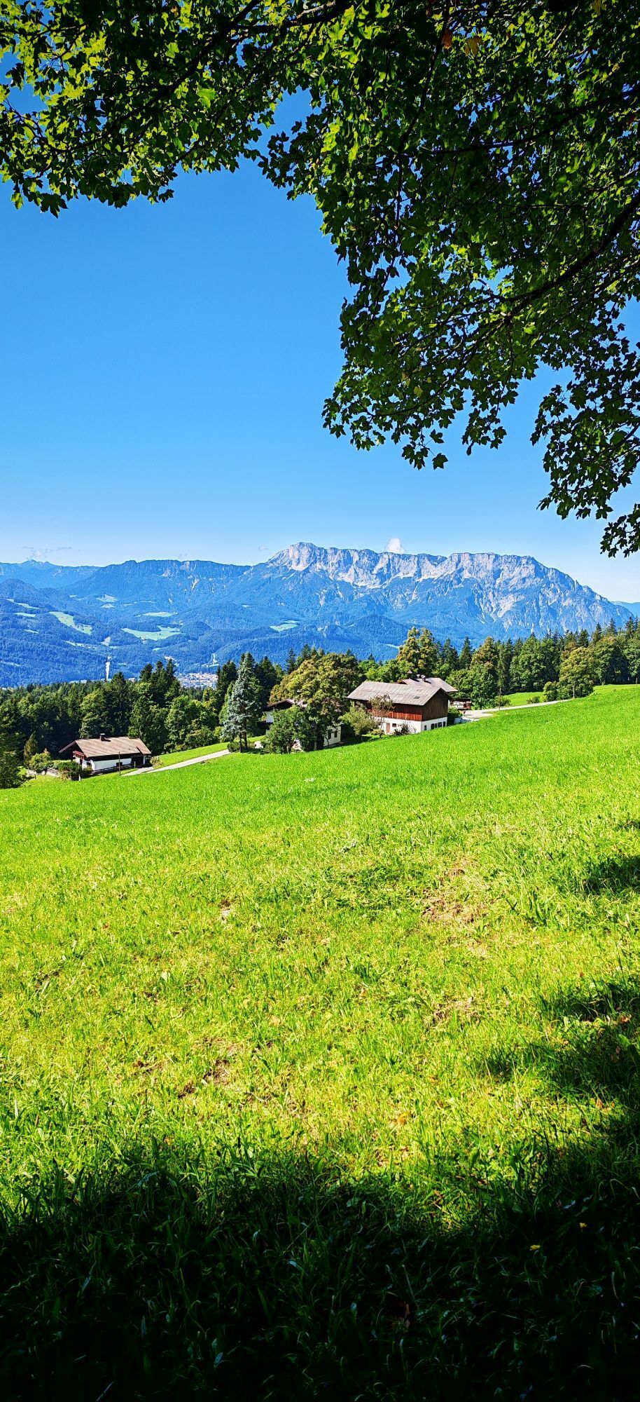
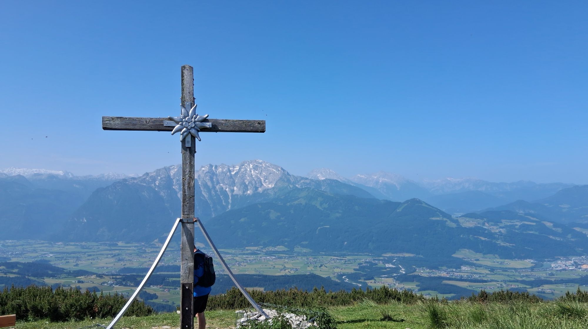
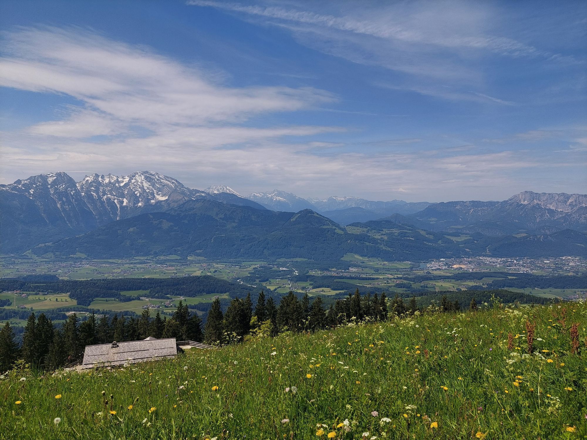
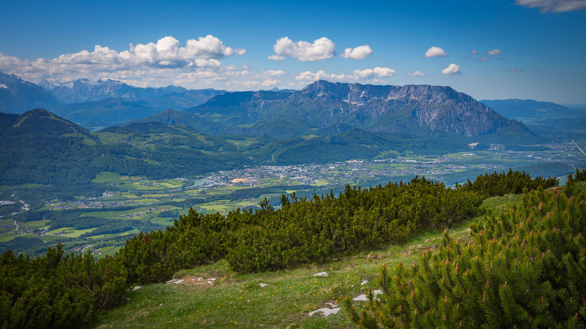
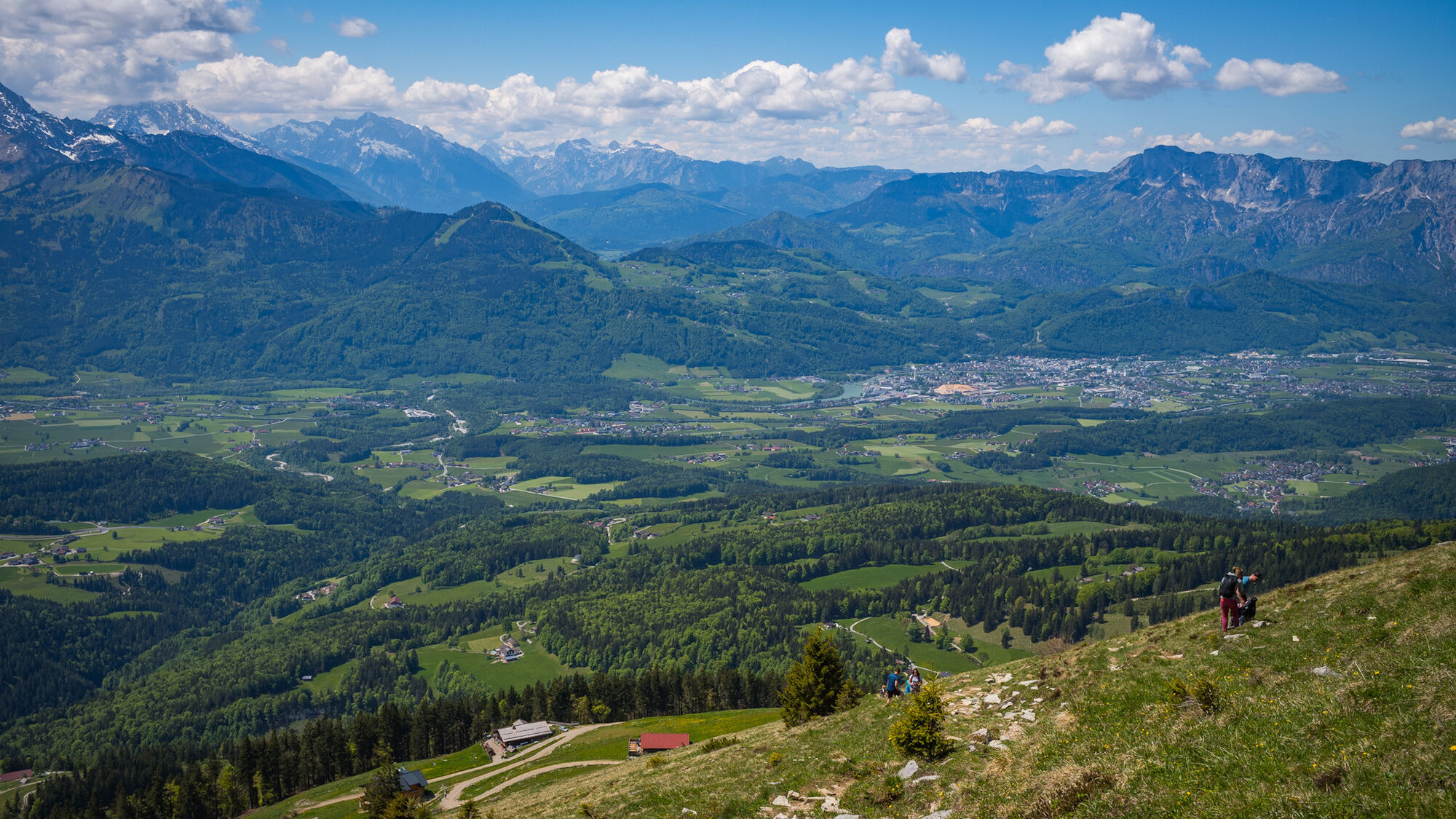
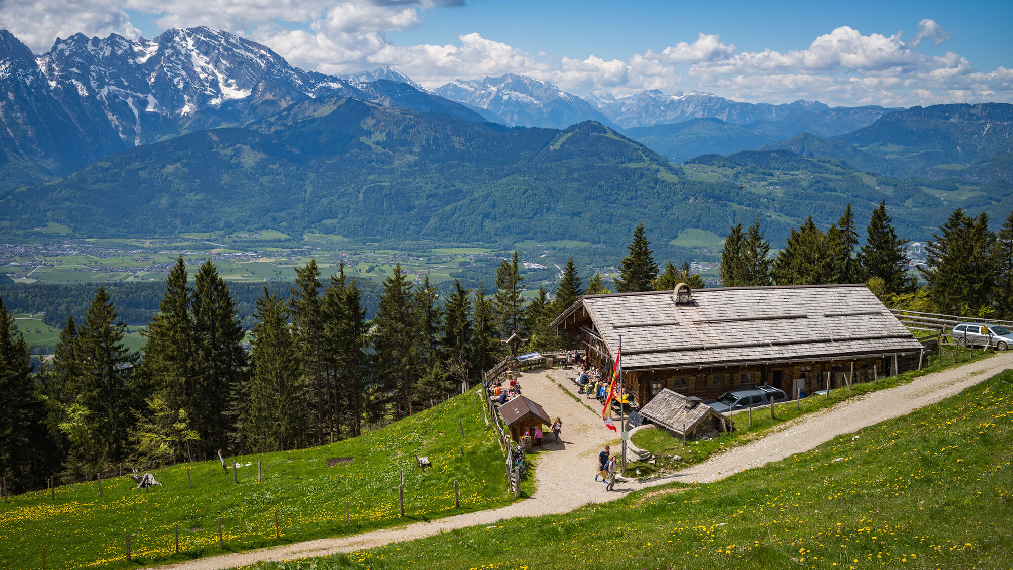
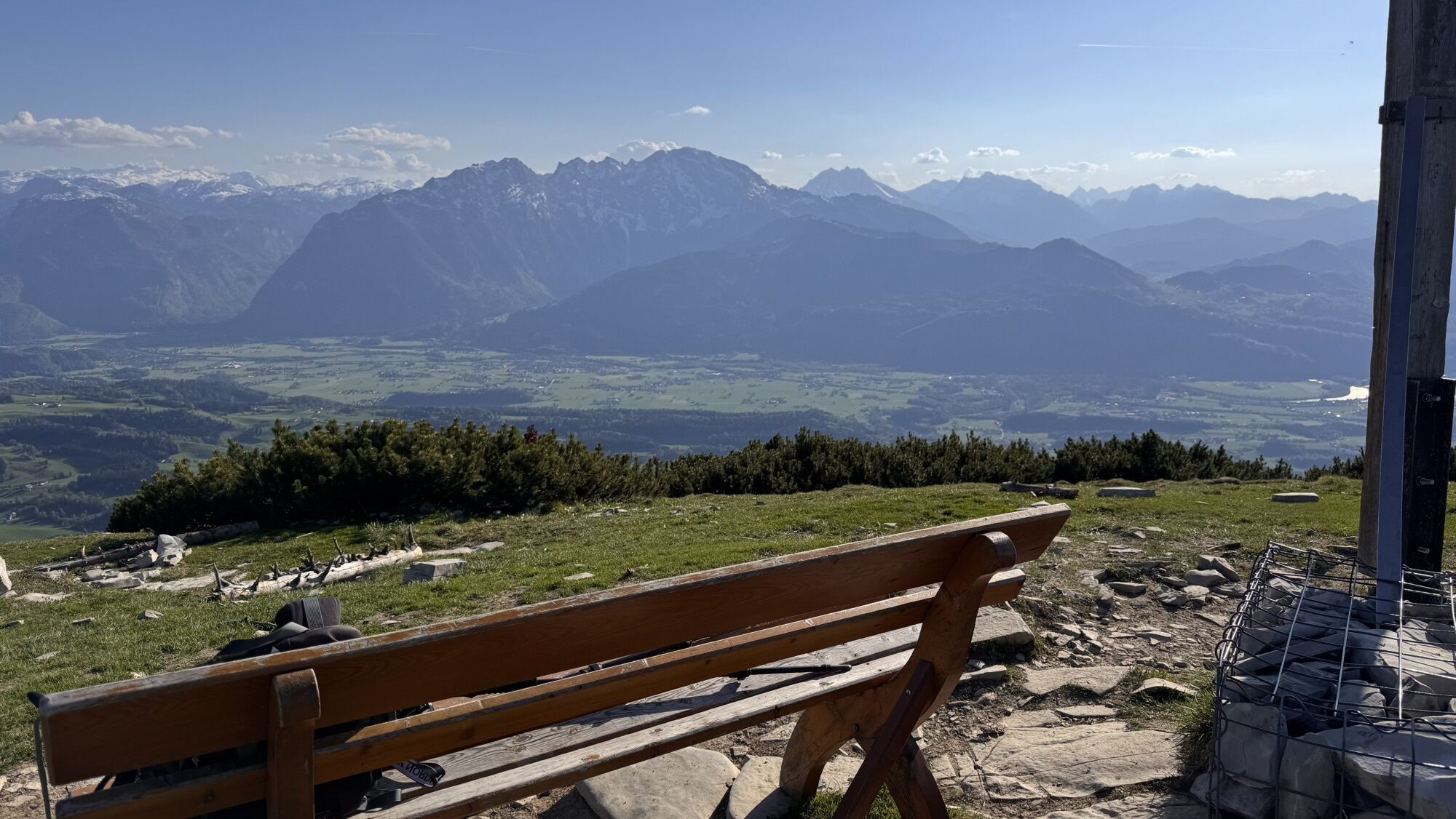
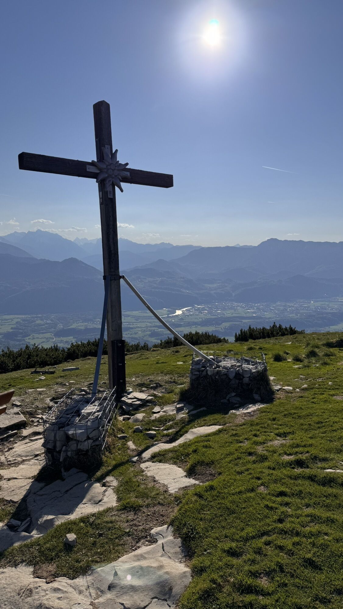
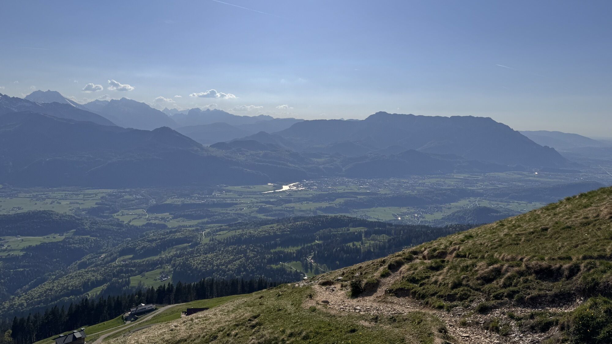
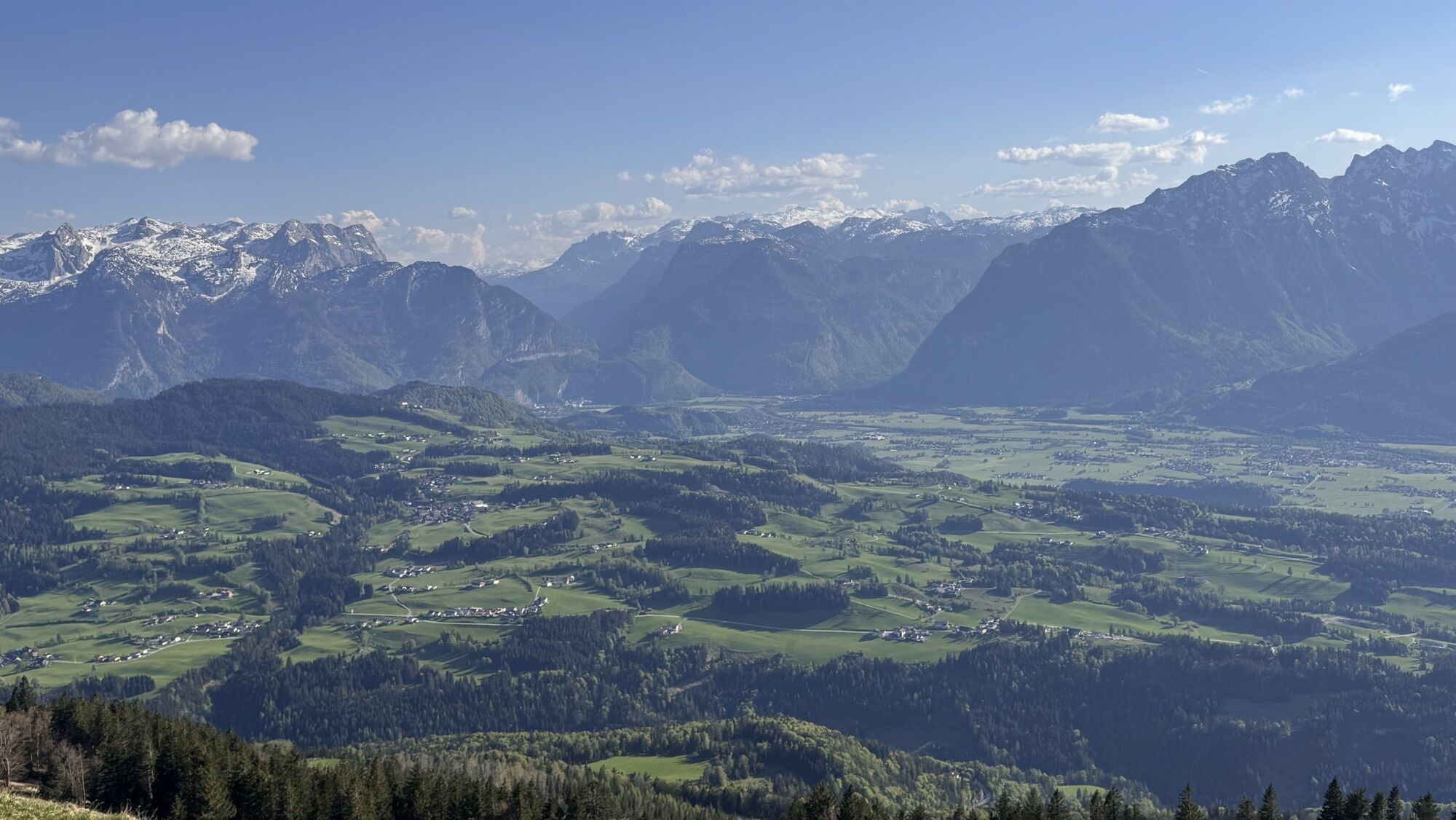
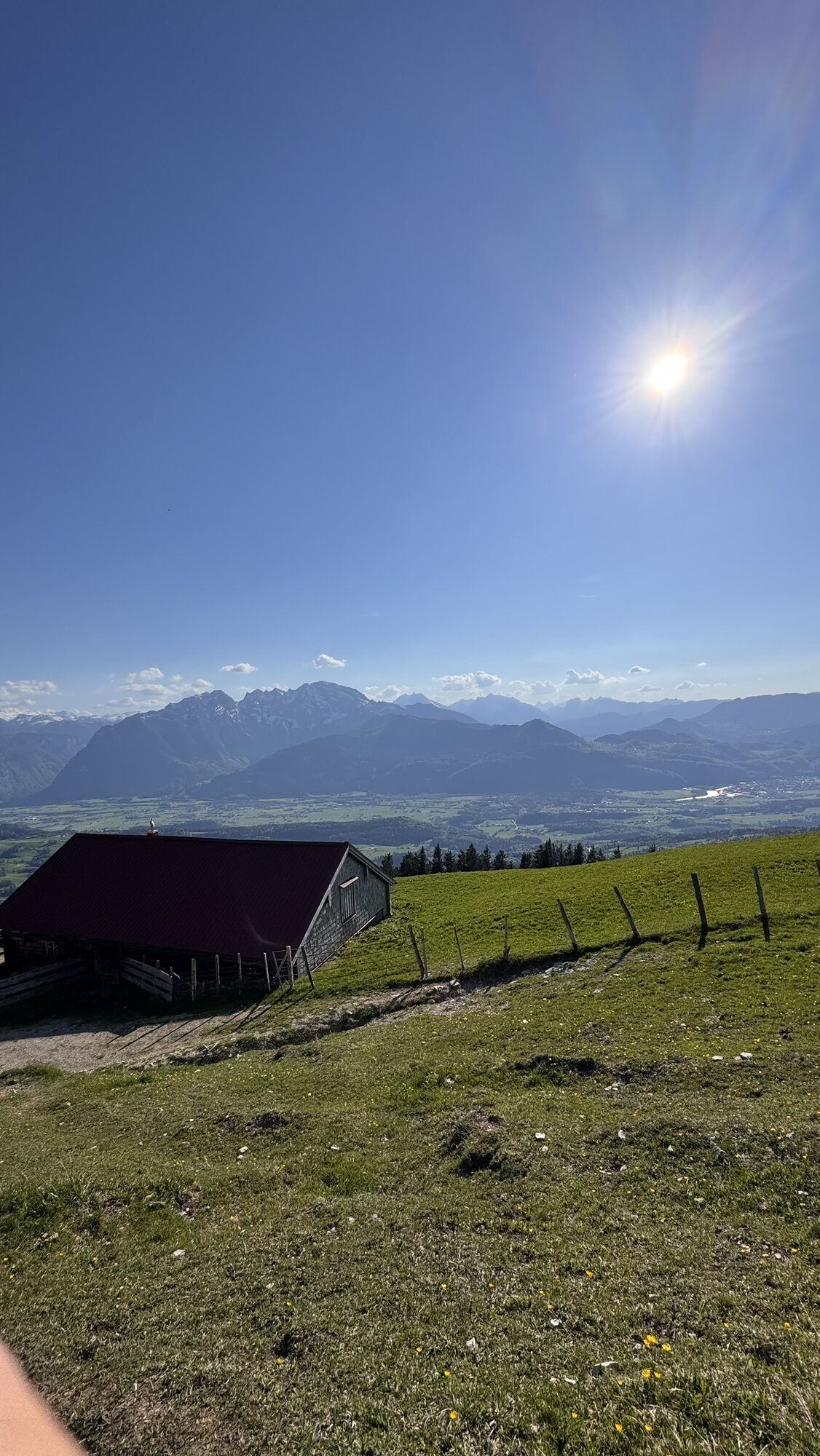
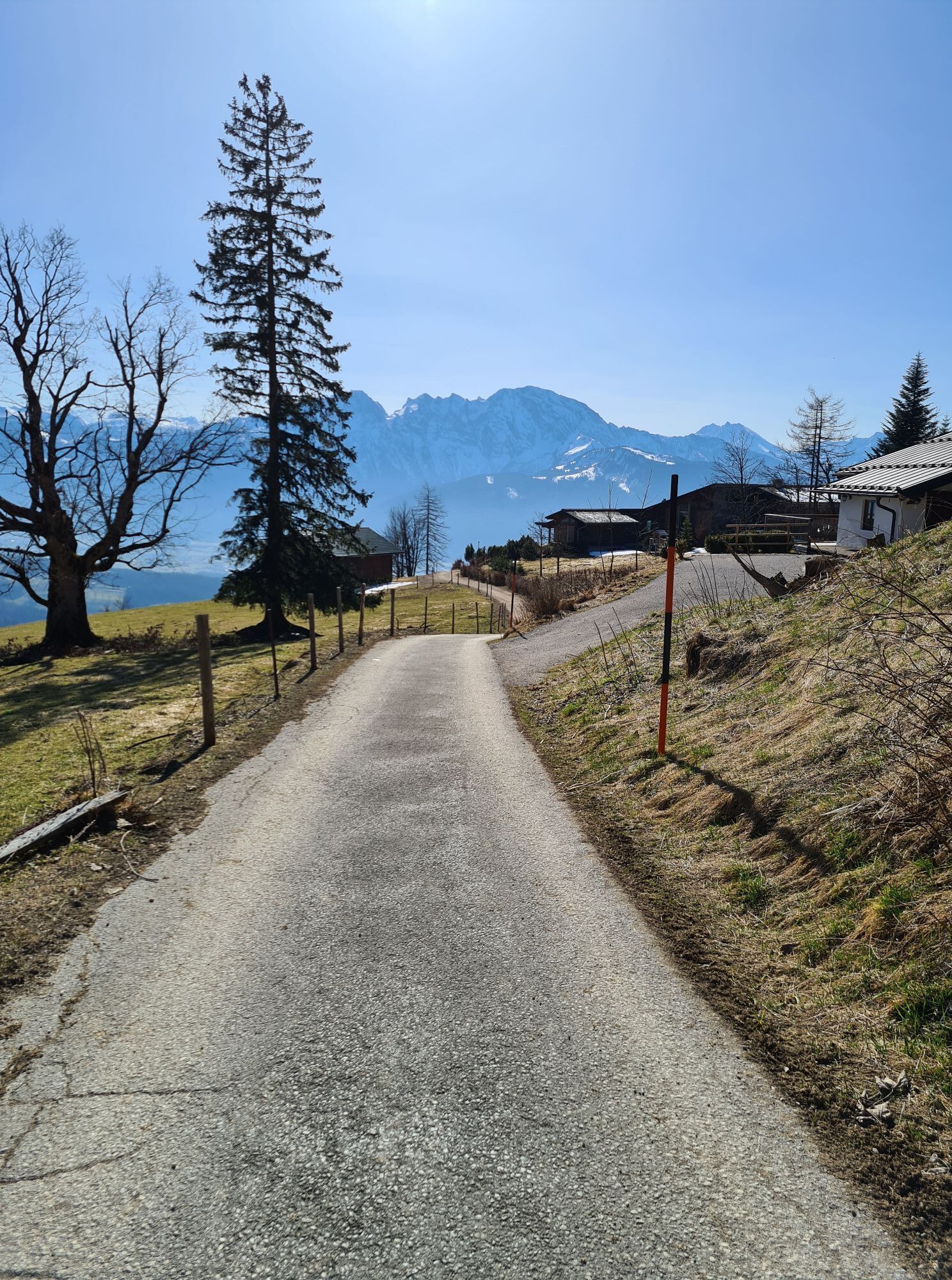
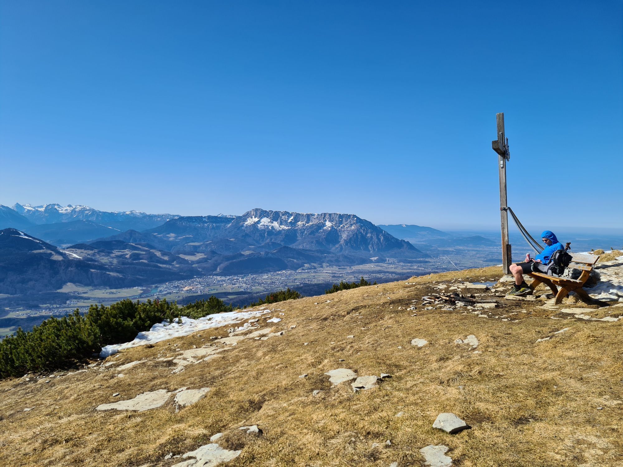
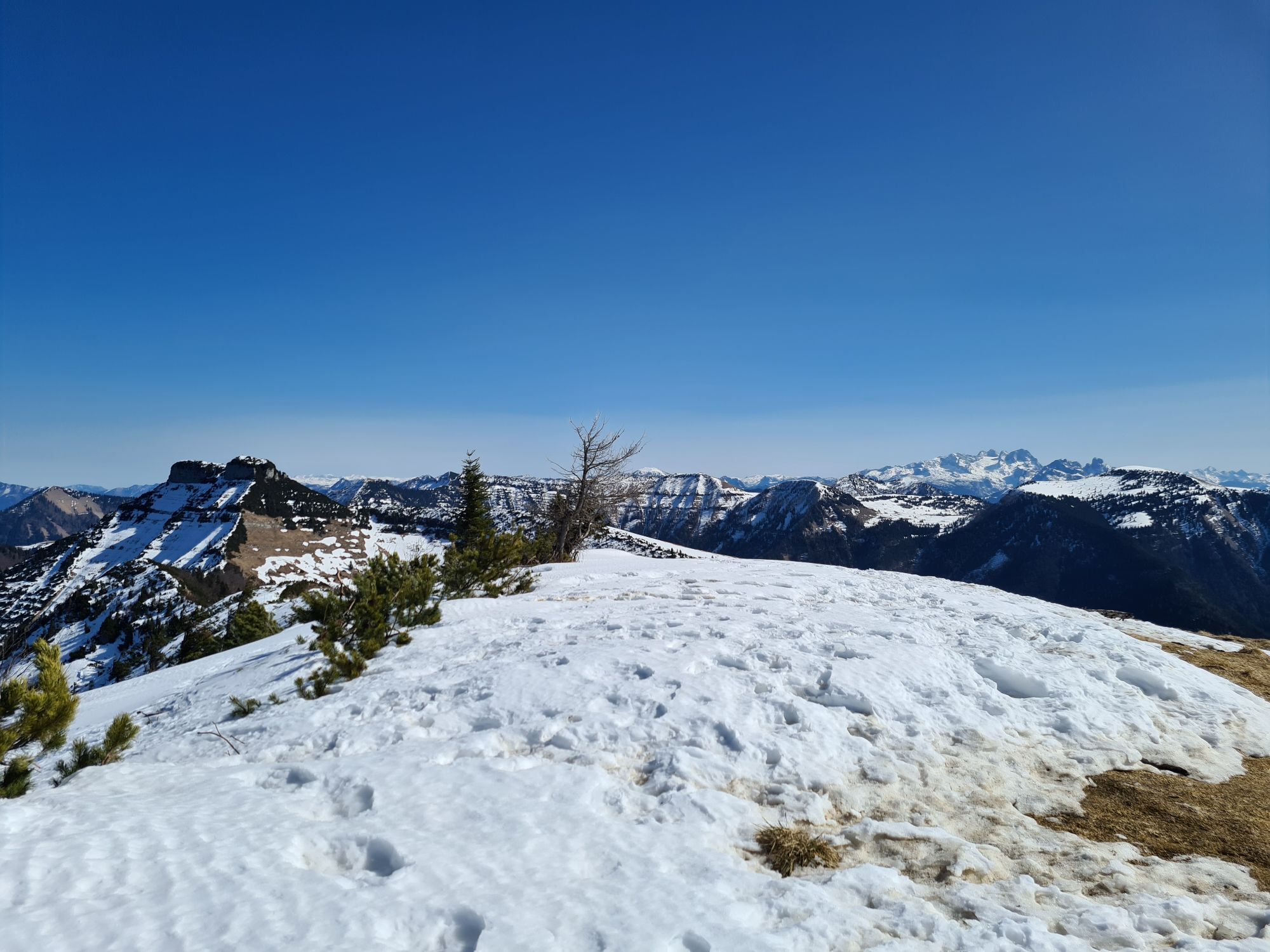
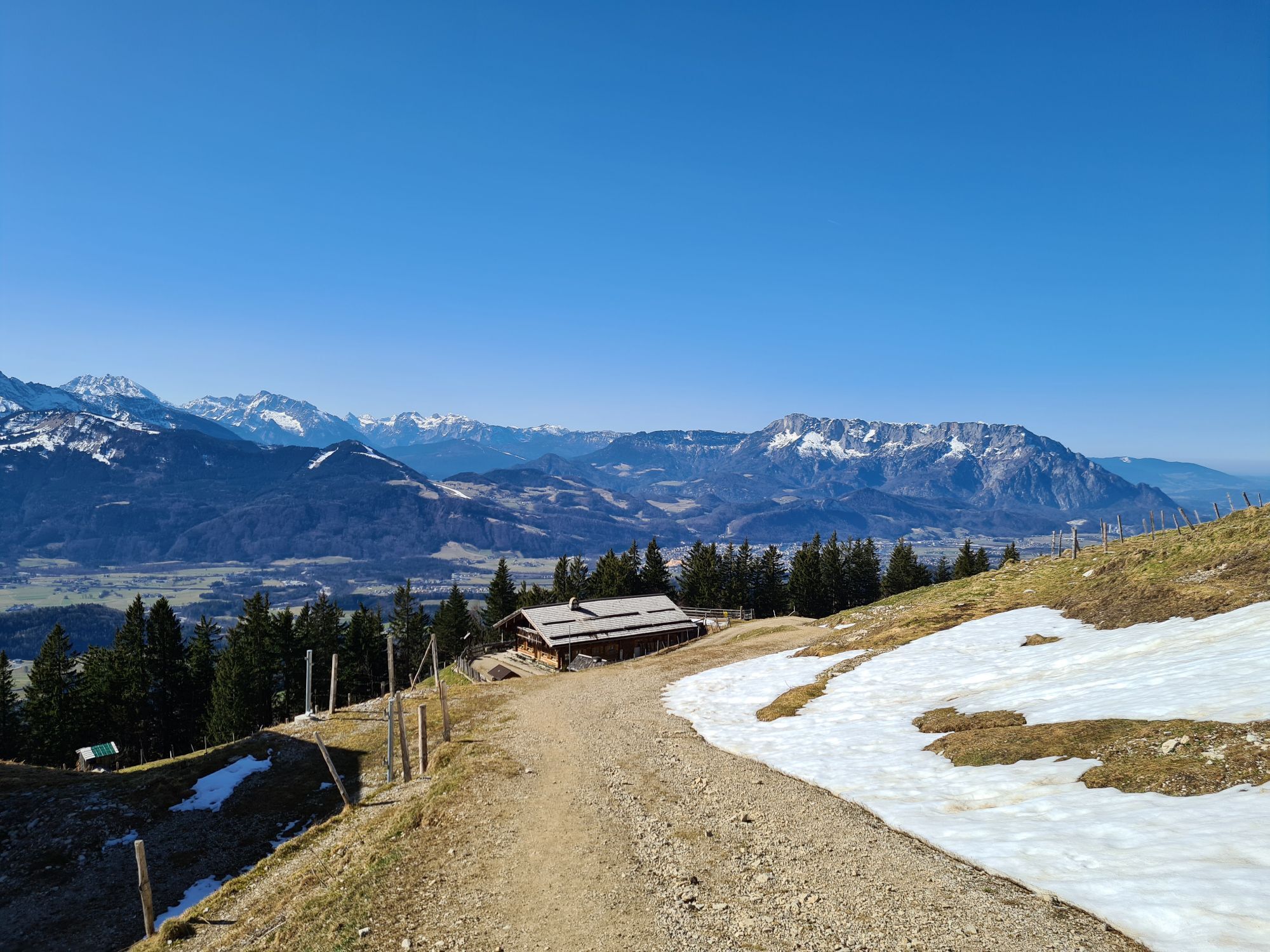
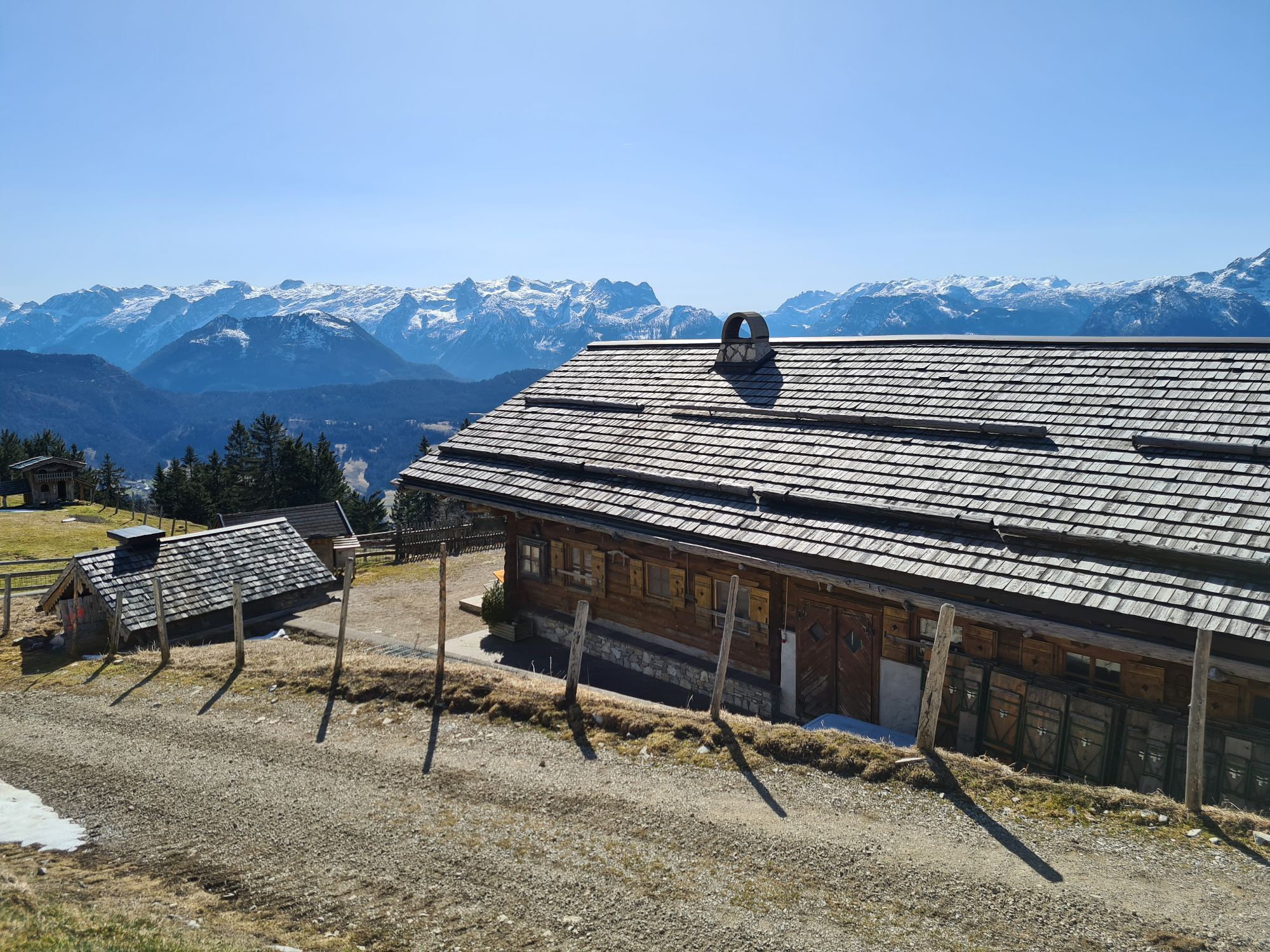
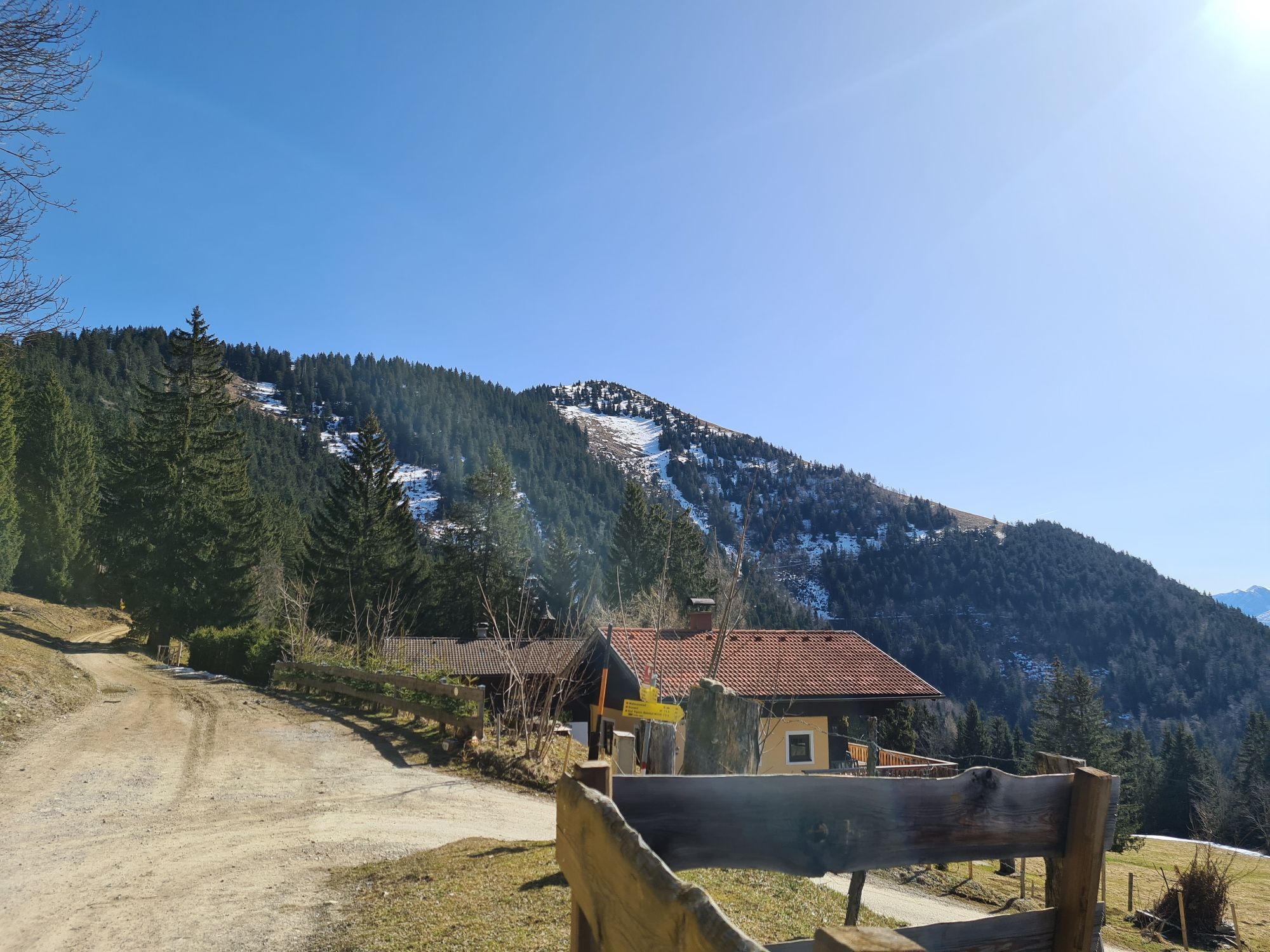
The starting point is the parking lot at Liendorf on Äußerer Rengerberg. From there, take the trail up to the last farmhouse - continue to the high plateau and from there either the steep ascent via the...
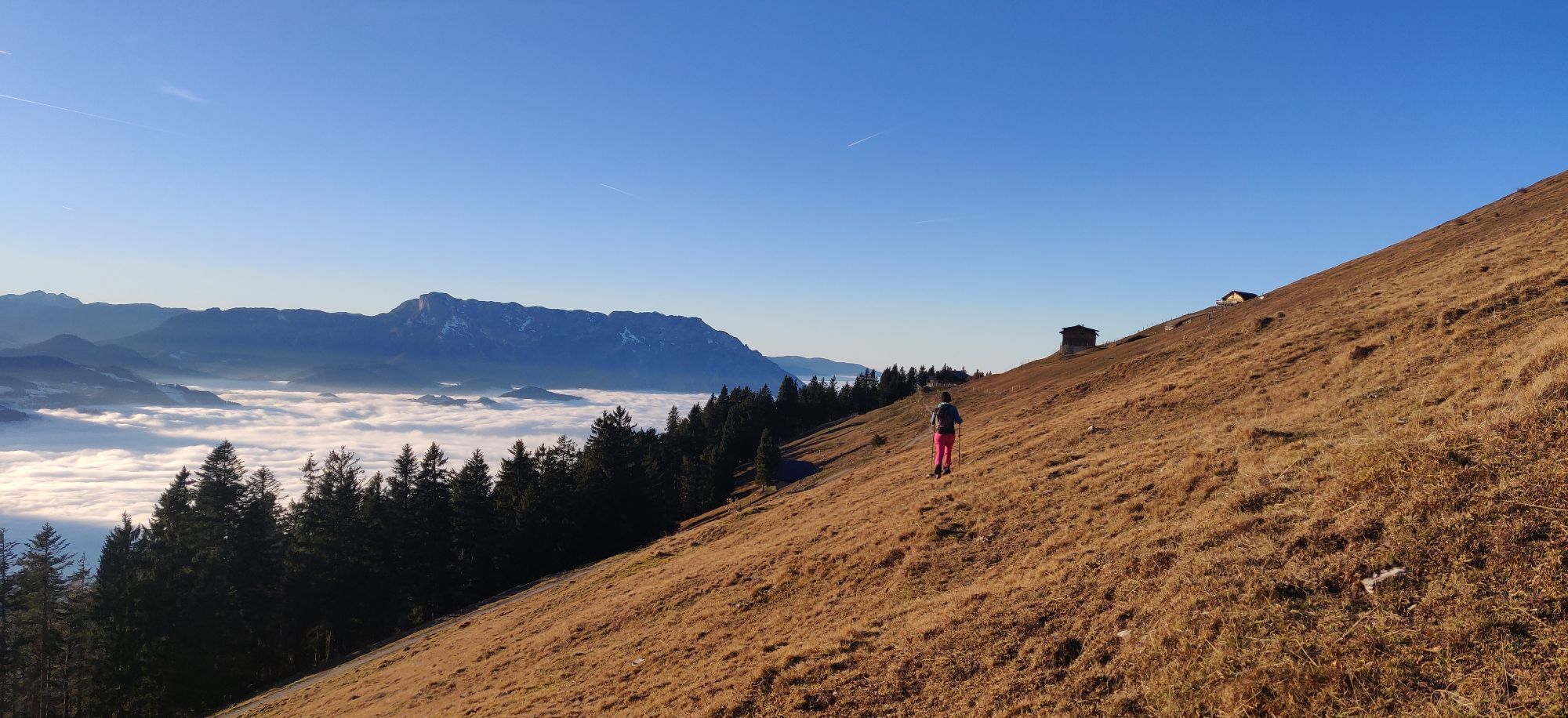
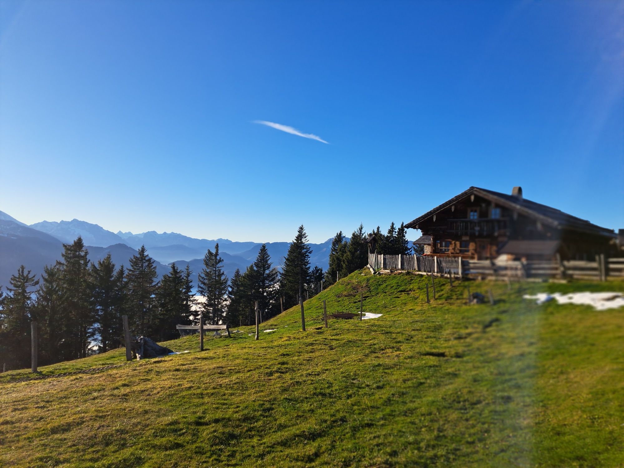
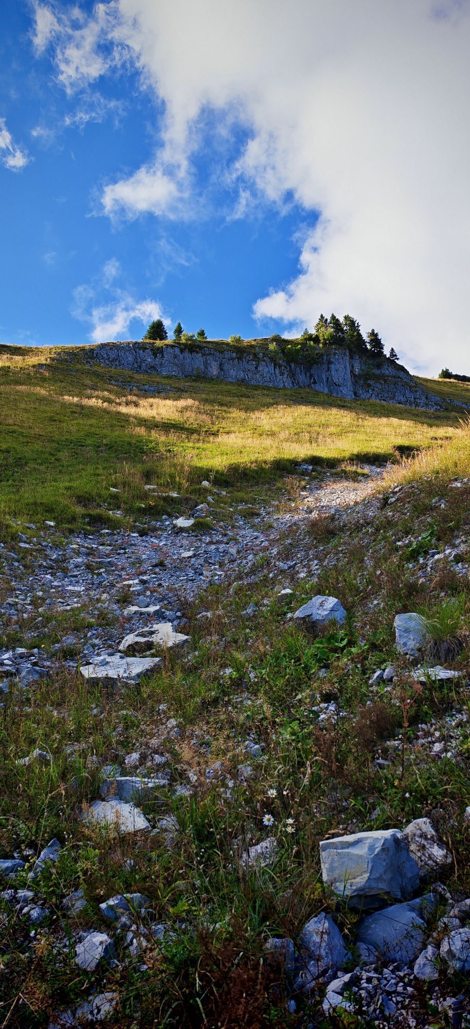
The starting point is the parking lot at Liendorf on Äußerer Rengerberg. From there, take the trail up to the last farmhouse - continue to the high plateau and from there either the steep ascent via the "Jaganasn" or via the Schlenkenalm to the summit.
Views:
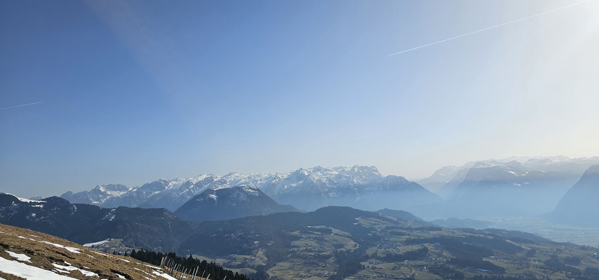
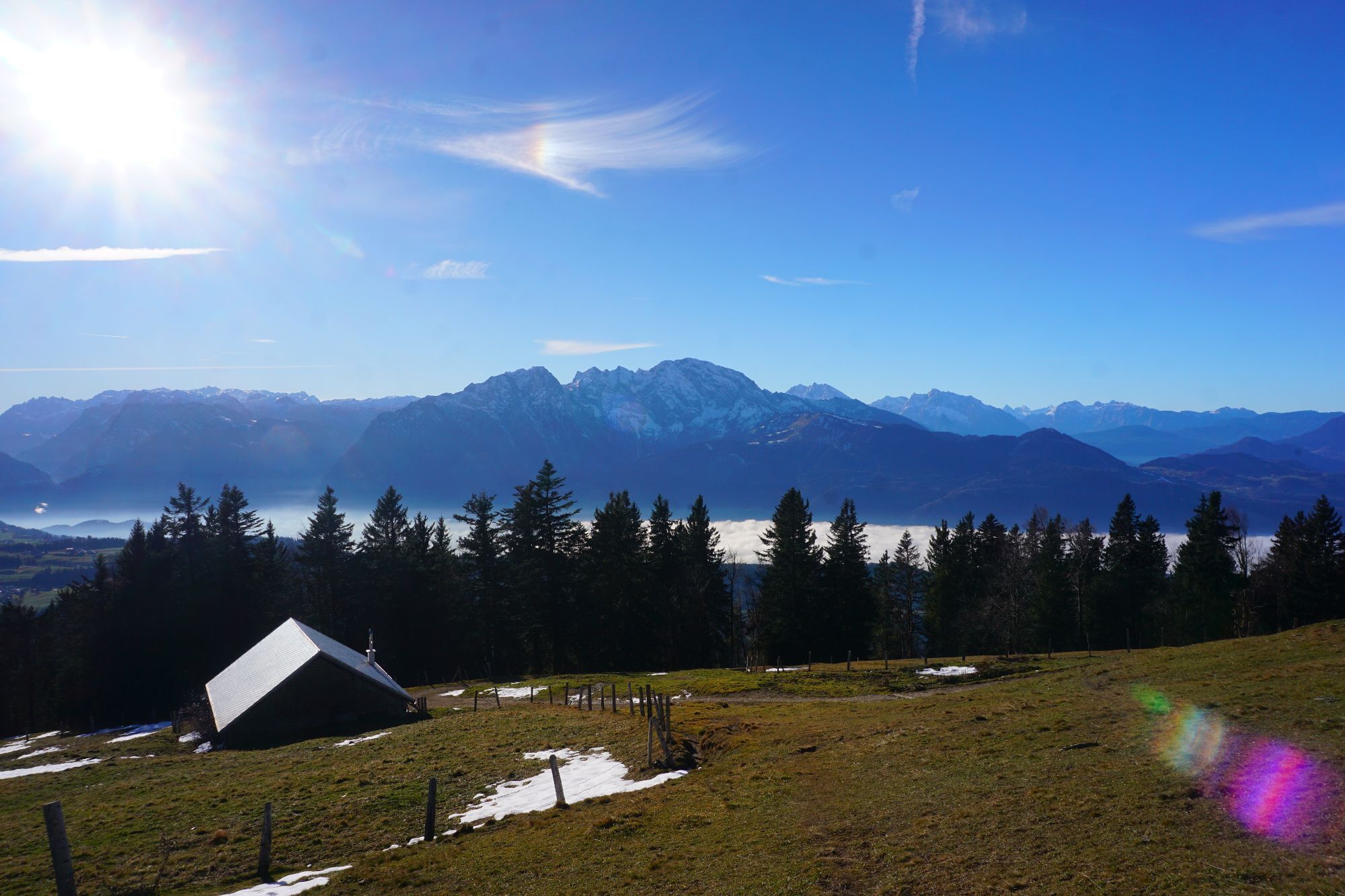
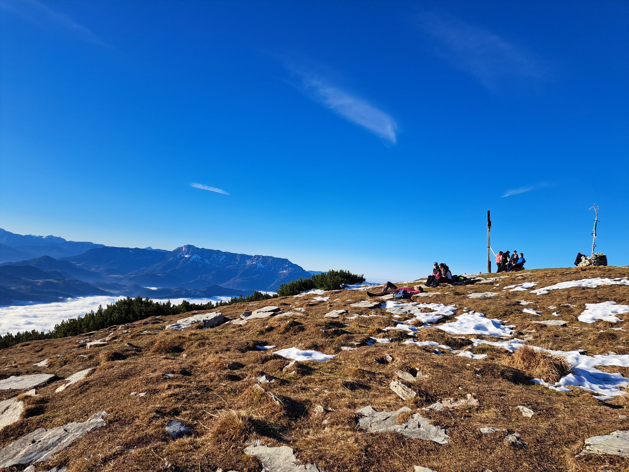
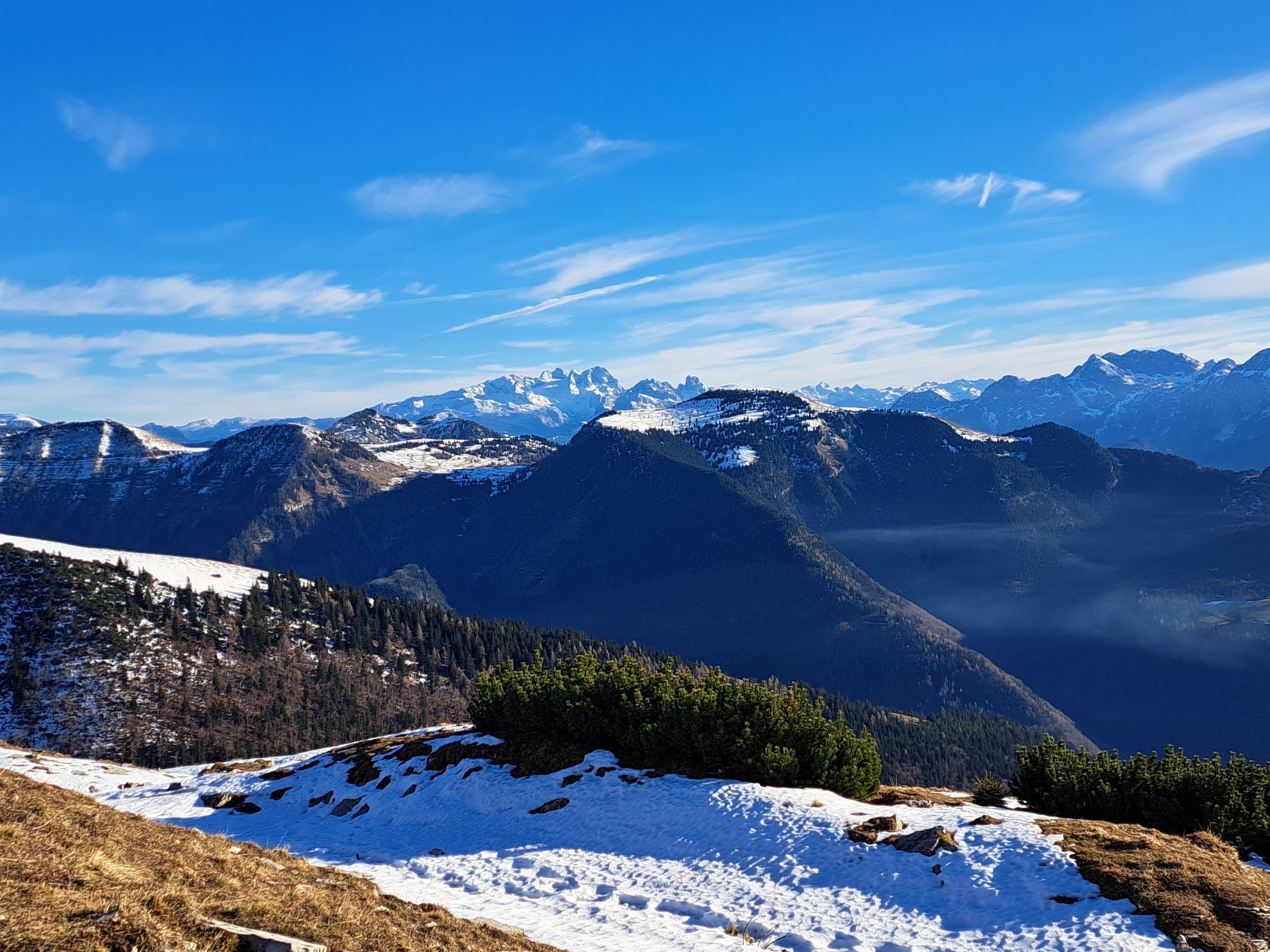
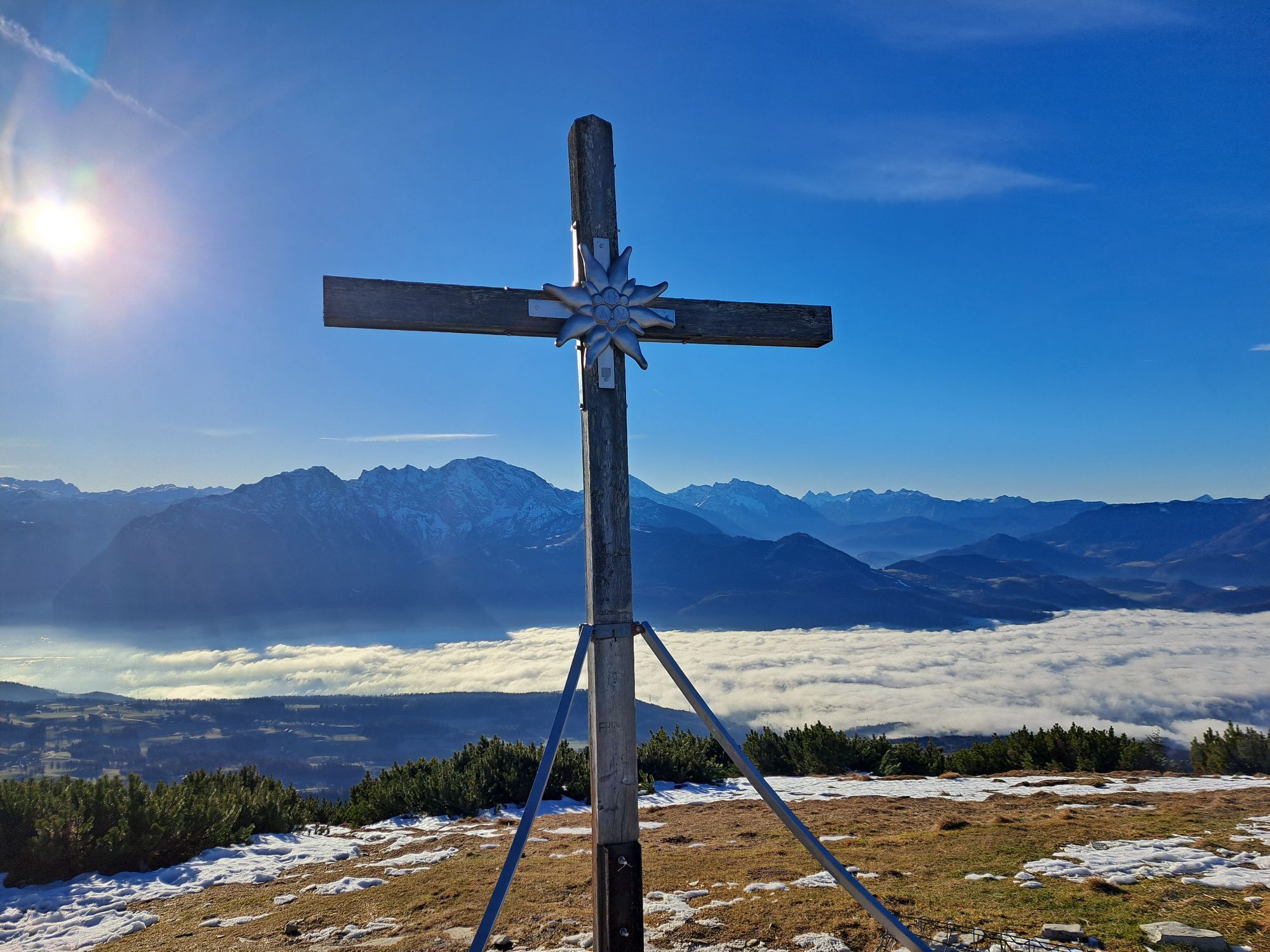
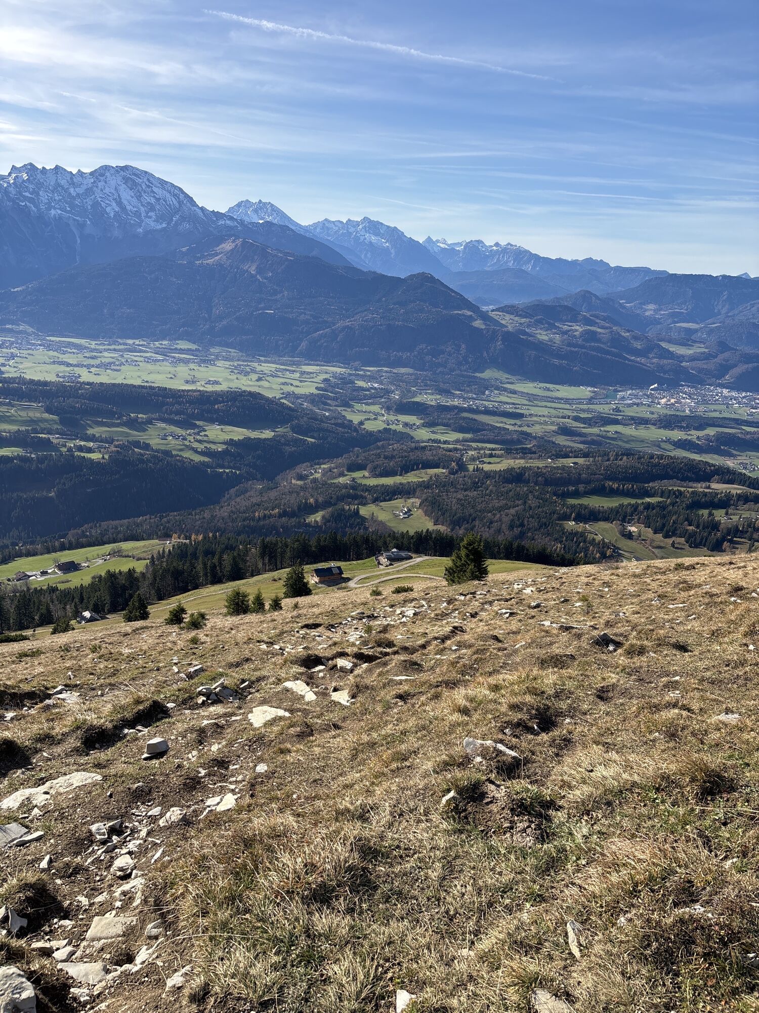
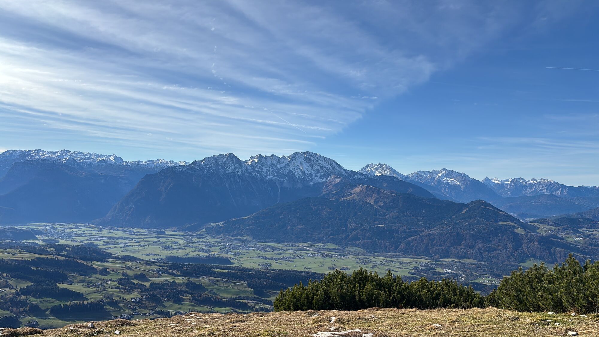
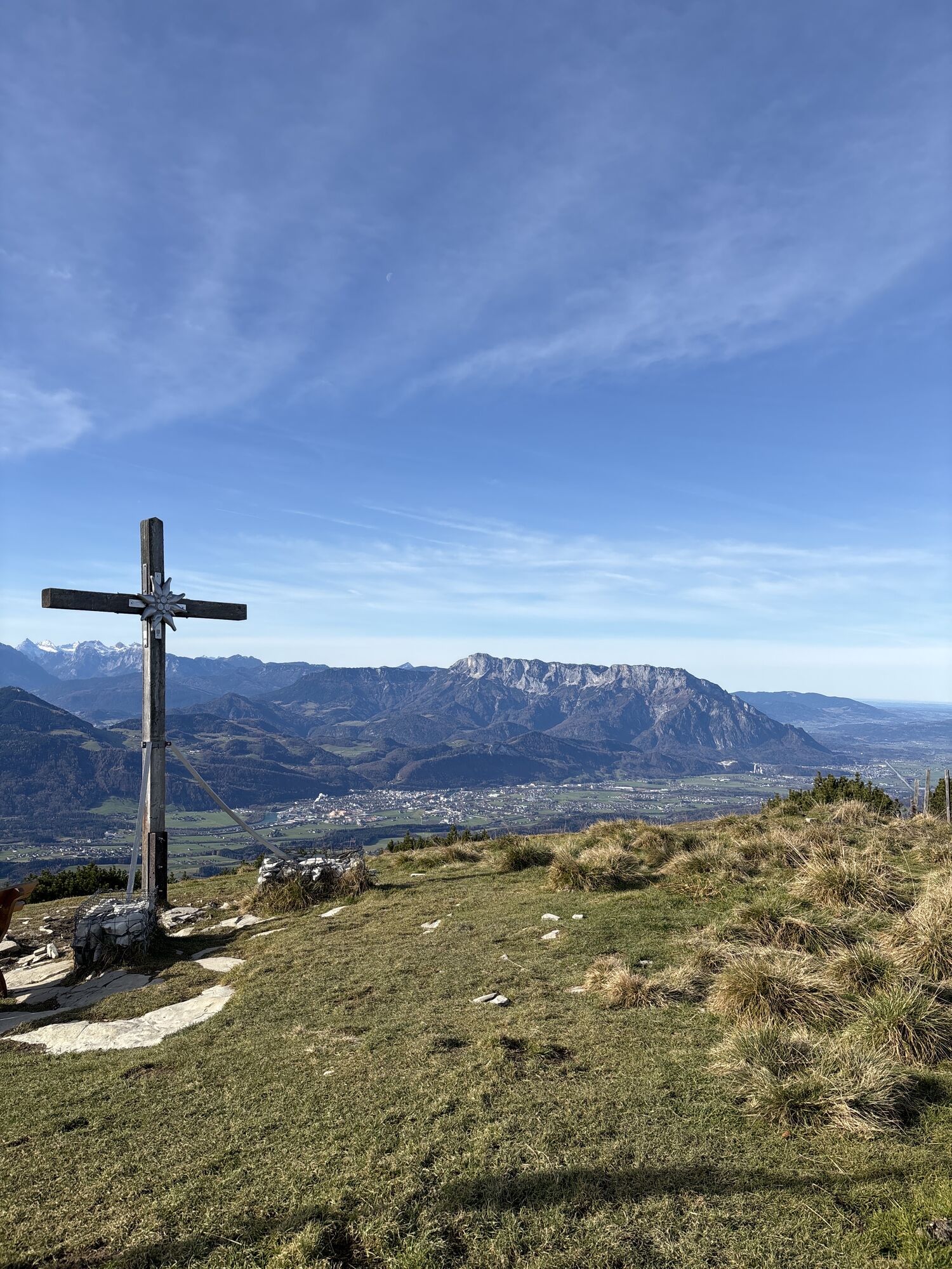
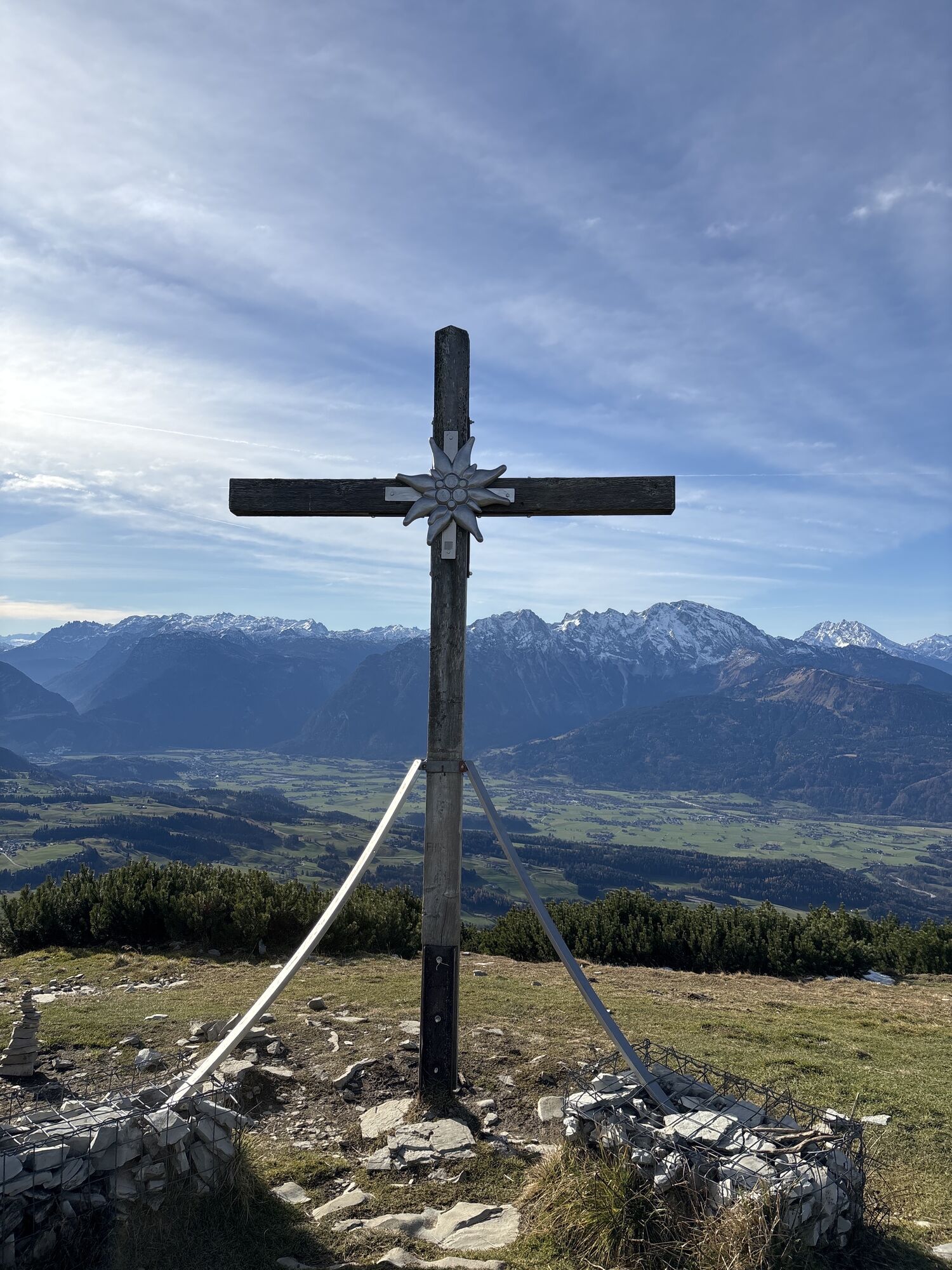
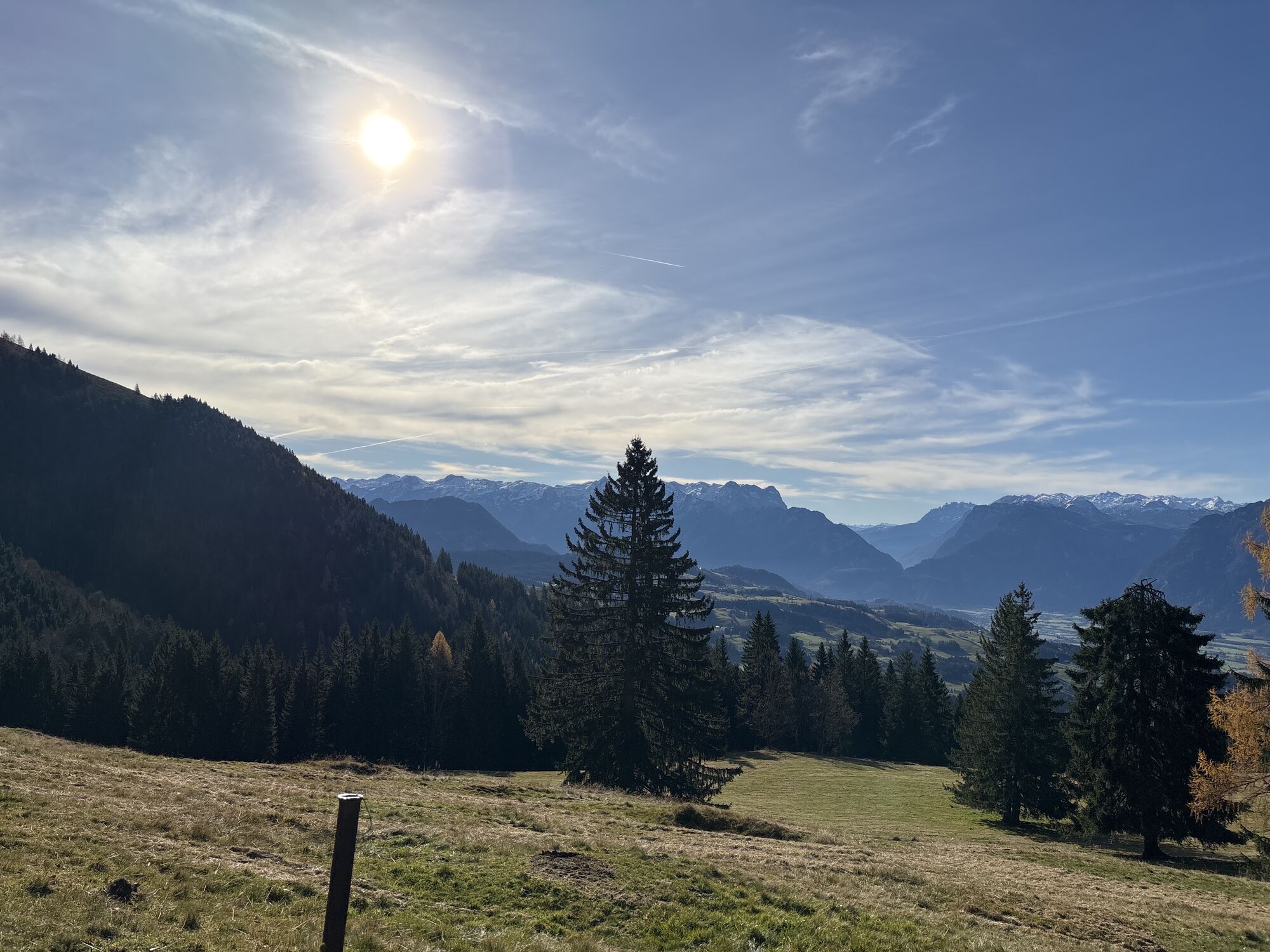
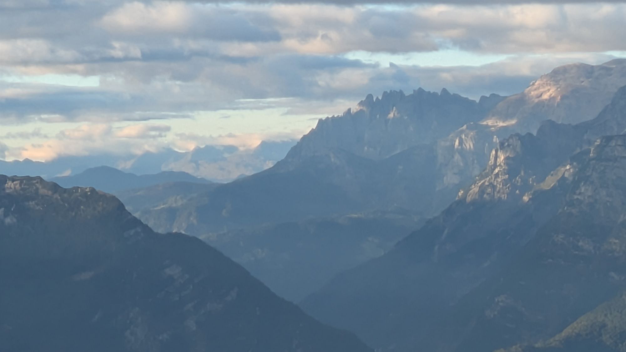
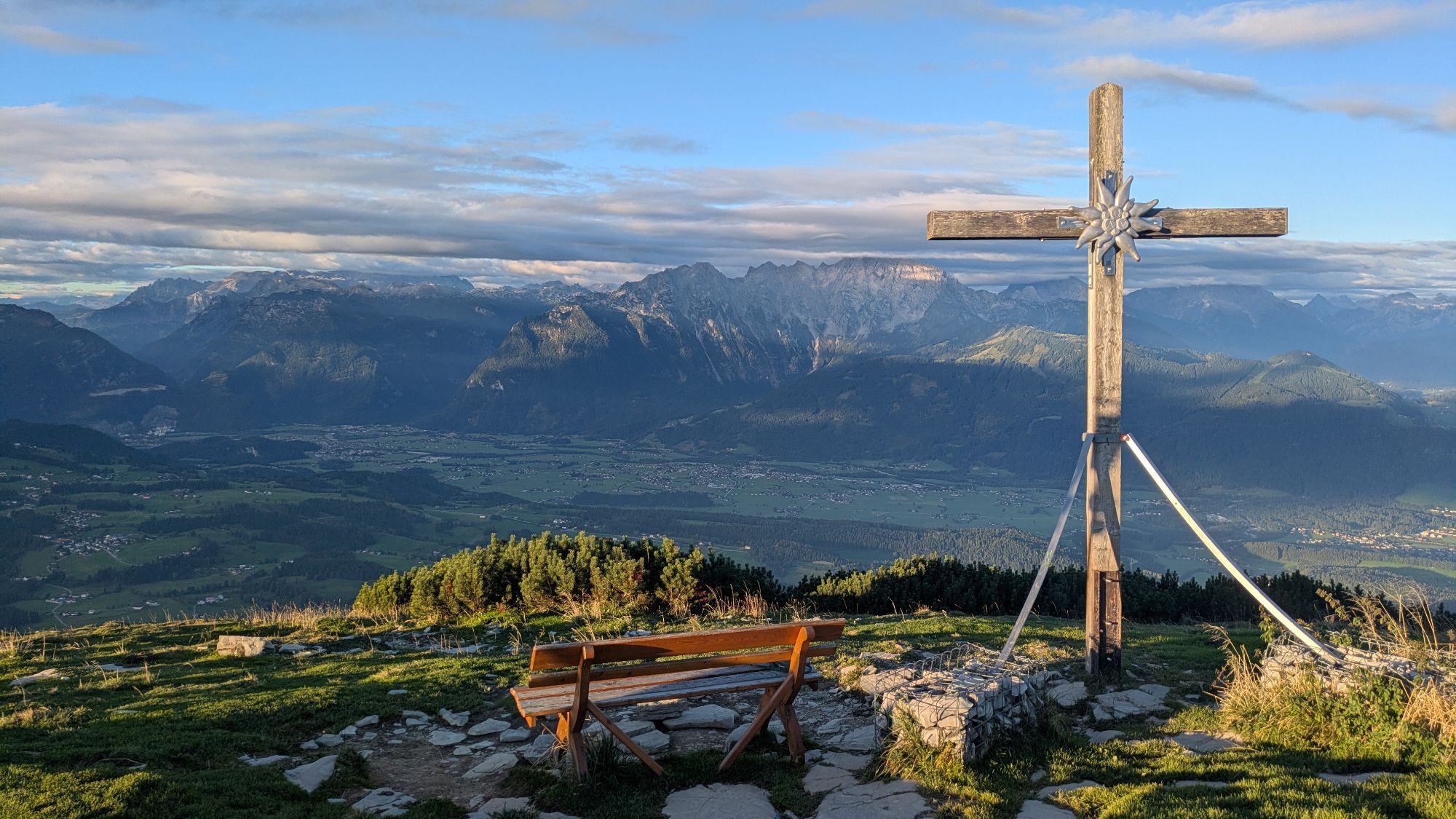
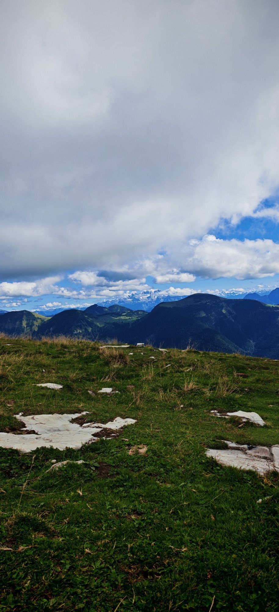
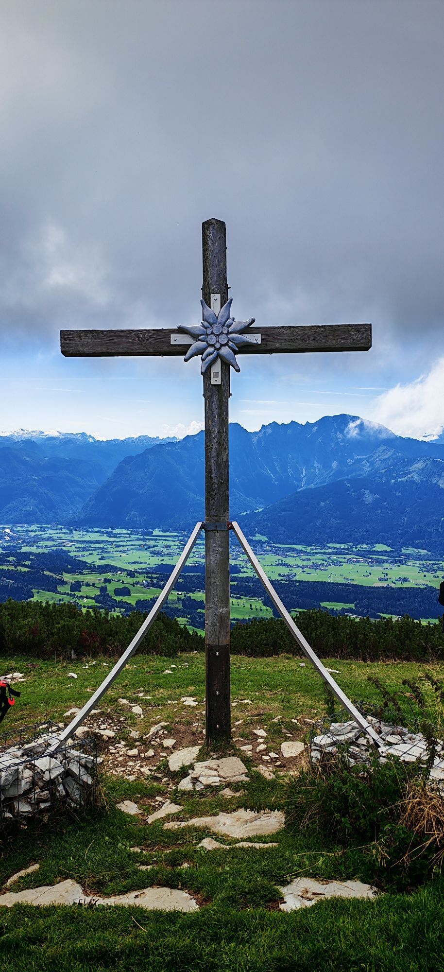
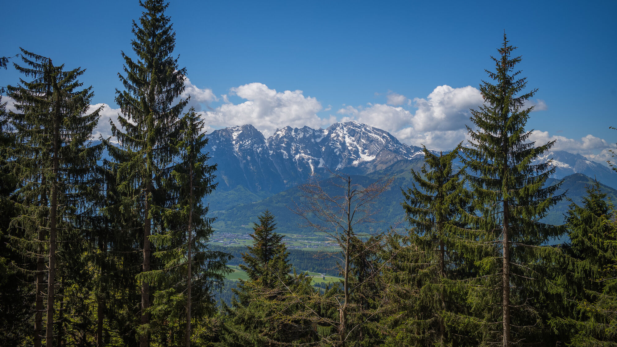
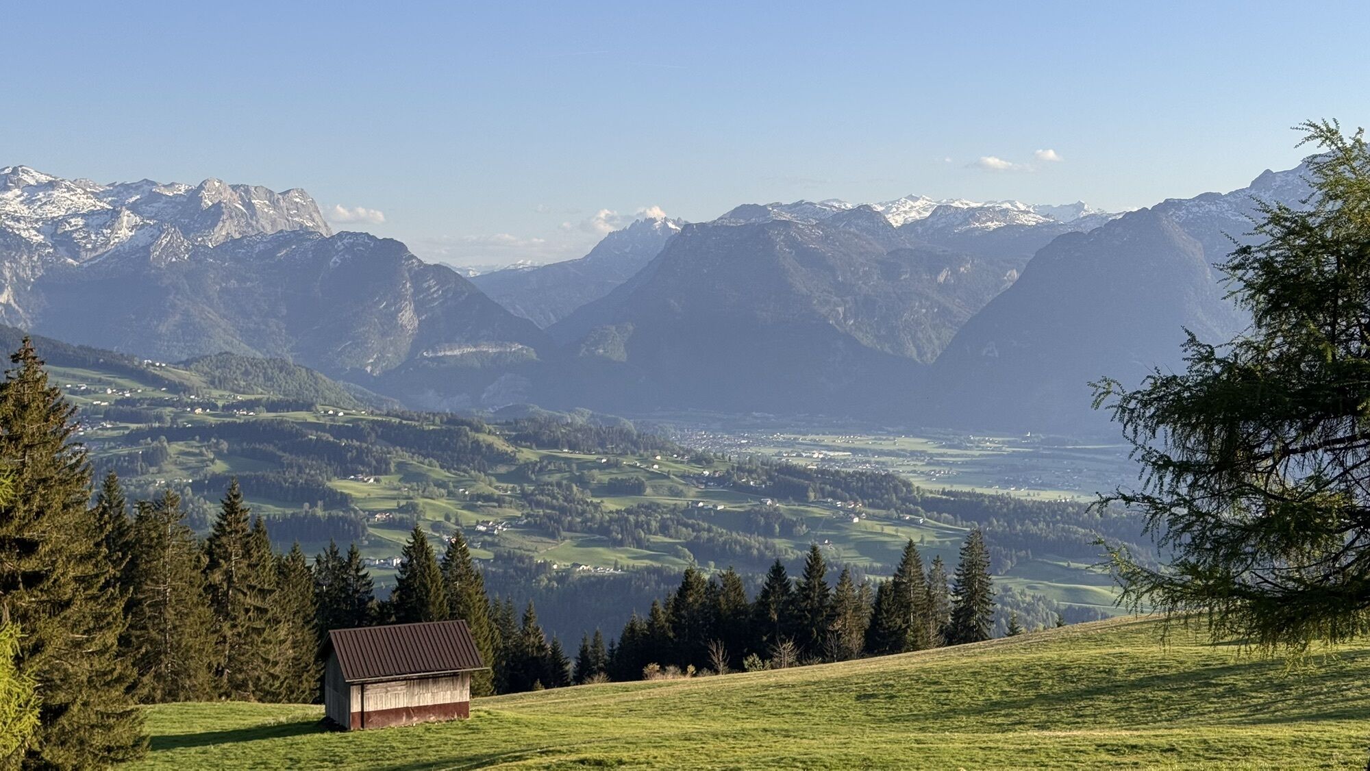
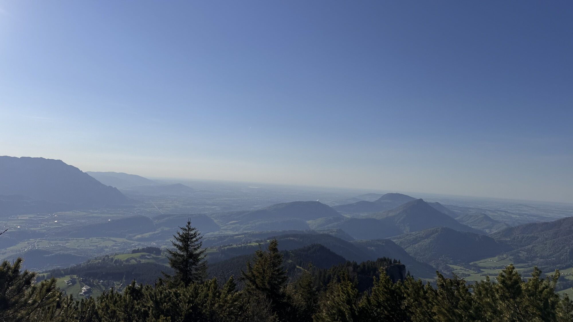
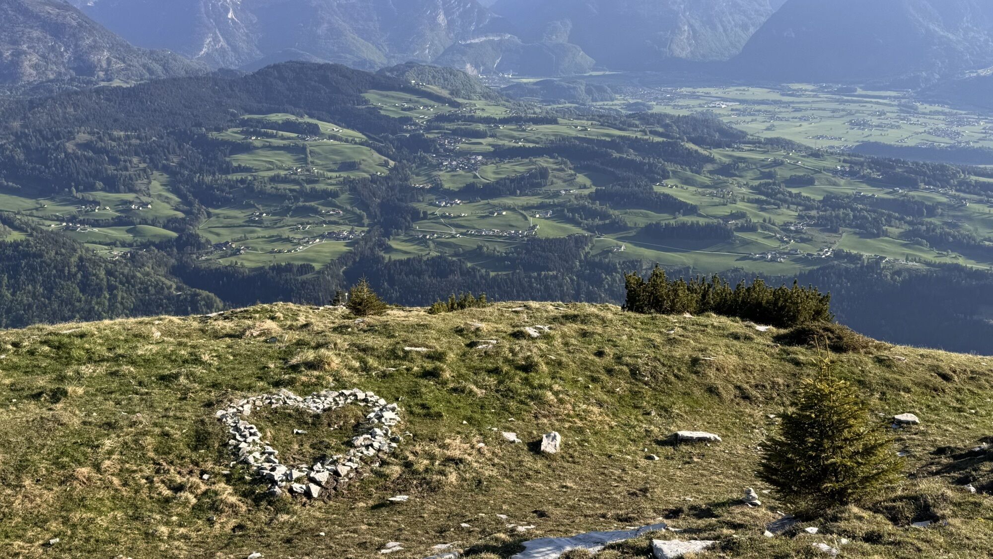
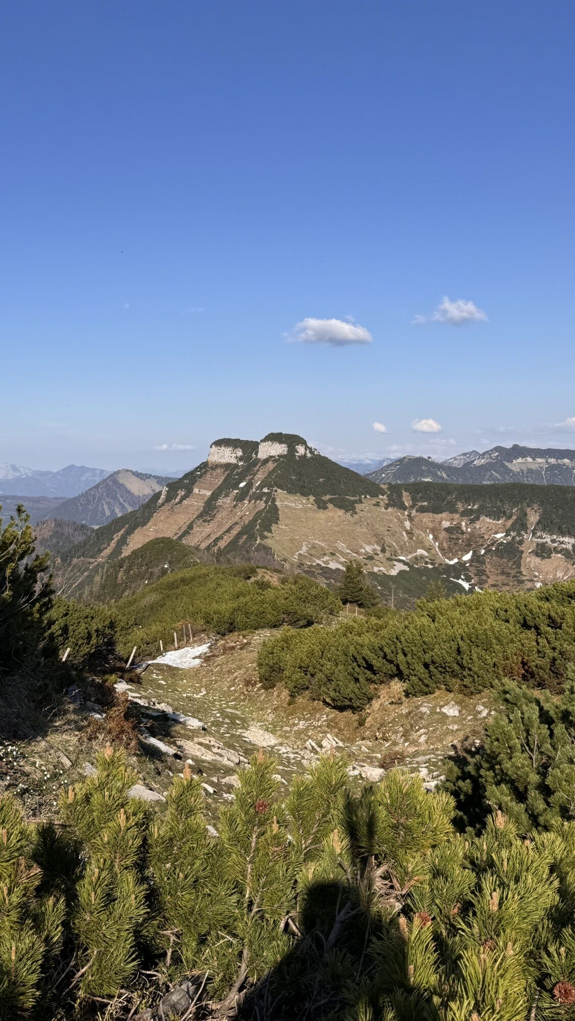
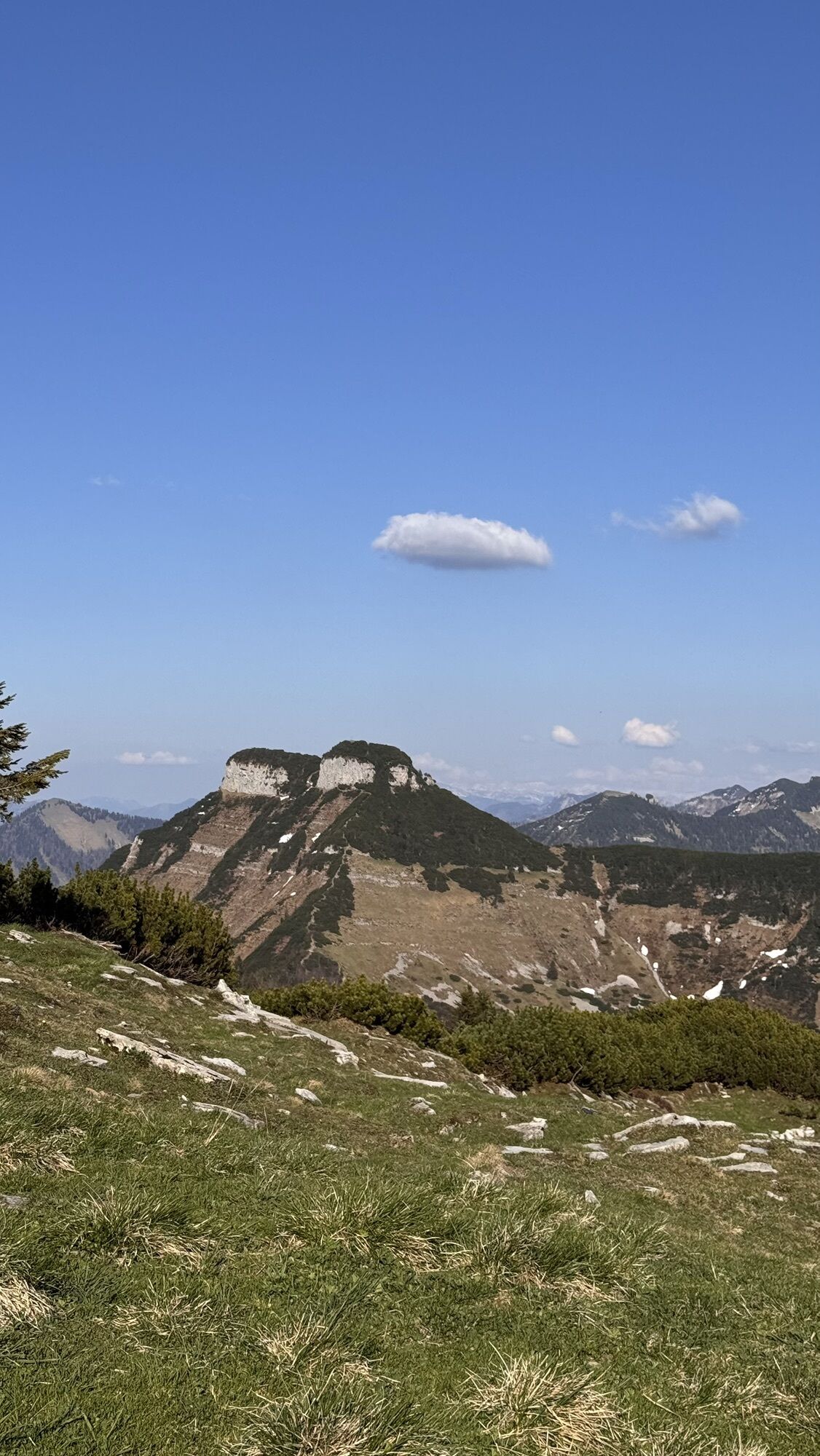
From the "Jaganasn" view into the Gaißau valley, to the Tennen and Hagen mountain ranges, behind them the Hochkönig, as well as the mountains of the Berchtesgadener Land (Watzmann), and to the Untersberg and Gaisberg. From the Schlenkenalms a wonderful view over the beautiful Salzach valley. The Schlenken summit is one of the most beautiful viewpoints: Dachstein massif, extending into the Tauern on one side, and the mountains of the Salzkammergut on the other side.
Combination options:
From the Schlenken summit back to the respective starting point or via Schmittenstein (1695 m) and Tenneralm into Niglkar and back to the Wurzerweg.
All listed hiking trails in the village are marked and signposted with the given trail numbers. Hiking guides are available at the office of the Bad Vigaun tourism association.

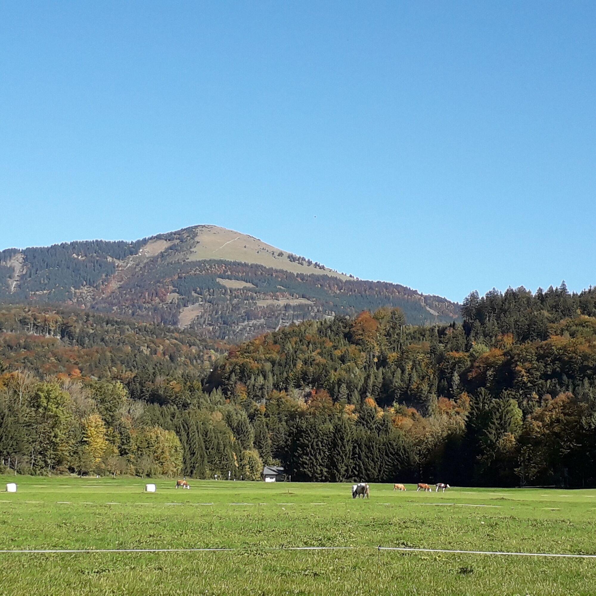
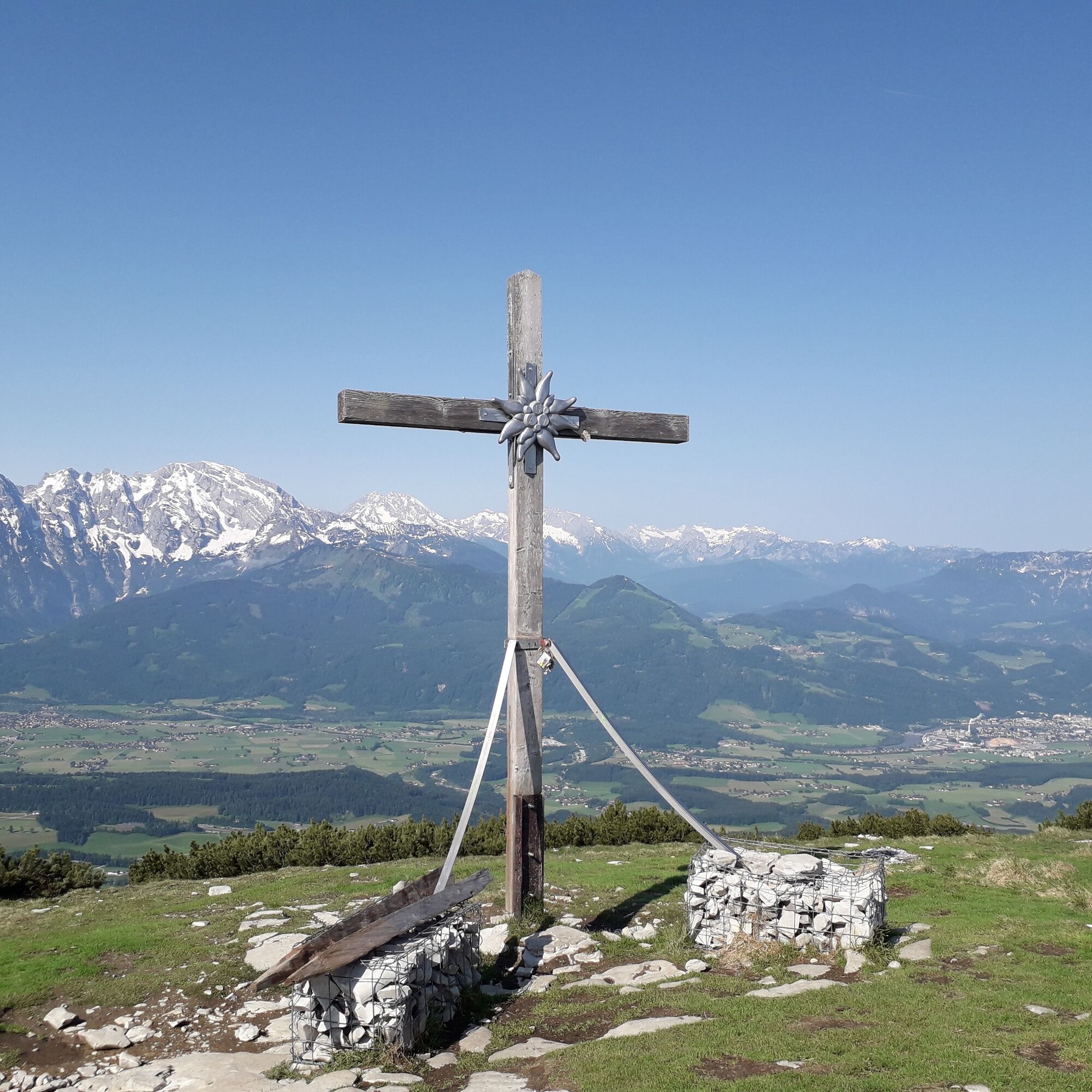

The starting point is the parking lot at Liendorf on Äußerer Rengerberg. From there, take the trail up to the last farmhouse - continue to the high plateau and from here either the steep ascent via the "Jaganasn" or via the Schlenkenalm to the stamp location at the summit.
Views:
From the "Jaganasn" view into the Gaißau valley, to the Tennen and Hagen mountain ranges, behind them the Hochkönig, as well as the mountains of the Berchtesgadener Land (Watzmann), and to the Untersberg and Gaisberg. From the Schlenkenalms a wonderful view over the beautiful Salzach valley. The Schlenken summit is one of the most beautiful viewpoints: Dachstein massif, extending into the Tauern on one side, and the mountains of the Salzkammergut on the other side.
Combination options:
From the Schlenken summit back to the respective starting point or via Schmittenstein (1695 m) and Tenneralm into Niglkar and back to the Wurzerweg.
All listed hiking trails in the village are marked and signposted with the given trail numbers. Hiking guides are available at the office of the Bad Vigaun tourism association.
Tennengau Hiking Pass: Stamp location at the Schlenken summit (10 points)
Sturdy footwear, hiking poles
From the B 159 to Bad Vigaun, through the village via Langgasse and Obere Langgasse into Regerbergstraße. At the fork after Broswirt, turn left into Äußere Rengerbergstraße and drive to the Liendorf parking lot.
Not accessible by public transport.
Liendorf parking lot

Webové kamery z prehliadky
Získajte prehľad
Vždy naživo na mieste s viac ako 9 500 webovými kamerami. bergfex Ako používateľ Pro si teraz môžete pozrieť príslušné webové kamery pre mnohé zájazdy v aplikácii zájazdy z. Môžete si tak priamo prezerať aktuálne podmienky.

Obľúbené výlety v okolí
-
4,7
Schwarzer Berg / Golling
strednáTuristika 2,54 km -
4,4
Fuschlseewanderung
svetloTuristika 11 km -
4,2
Pillstein Panorama Rundweg
svetloTuristika 3,40 km -
4,1
Bärenweg am Lidaun
svetloTuristika 9,05 km -
4,2
Untersberg, Toni-Lenz-Hütte
Turistika 4,86 km -
4,8
Great and Small Barmstein, the landmarks of Hallein
ťažkéTuristika 6,58 km -
4,4
Hike to the Kleiner Barmstein via the Thürndl ruin
strednáTuristika 4,20 km -
4,8
Hoher Göll über Mannlsteig
strednáTuristika 16 km -
4,8
Gennerhorn über Lämmerbach
strednáTuristika 10,2 km -
4,1
Illinger Alm-Runde
strednáTuristika 9,89 km
Turistika a stopovanie


Nenechajte si ujsť ponuky a inšpiráciu na ďalšiu dovolenku
Vaša e-mailová adresa bol pridaný do poštového zoznamu.





