


Circular route Arthurhaus - Windraucheggalm
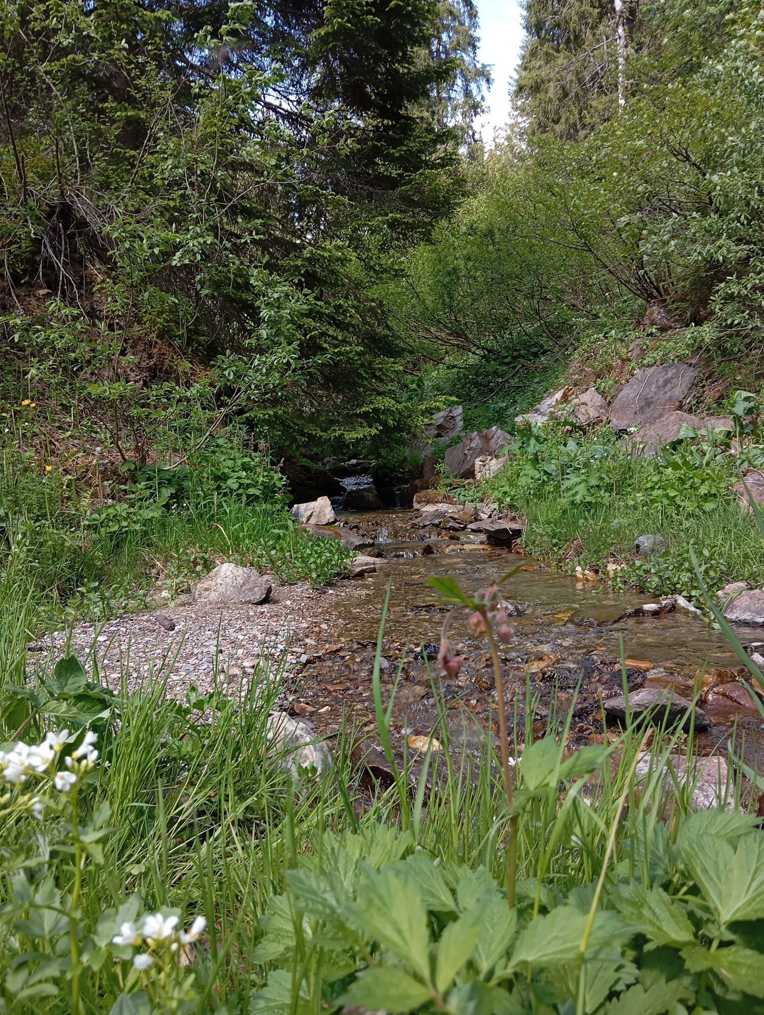
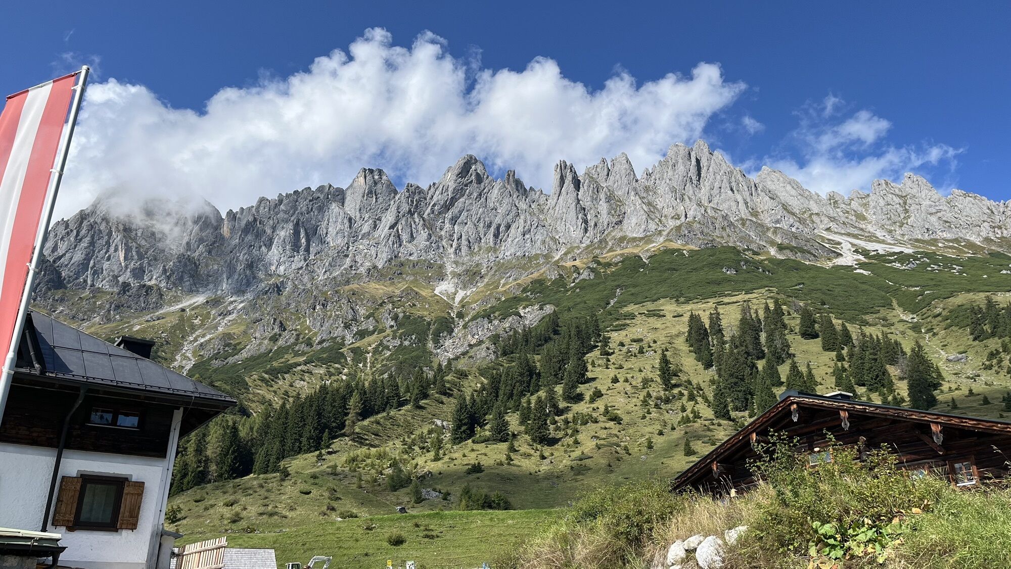
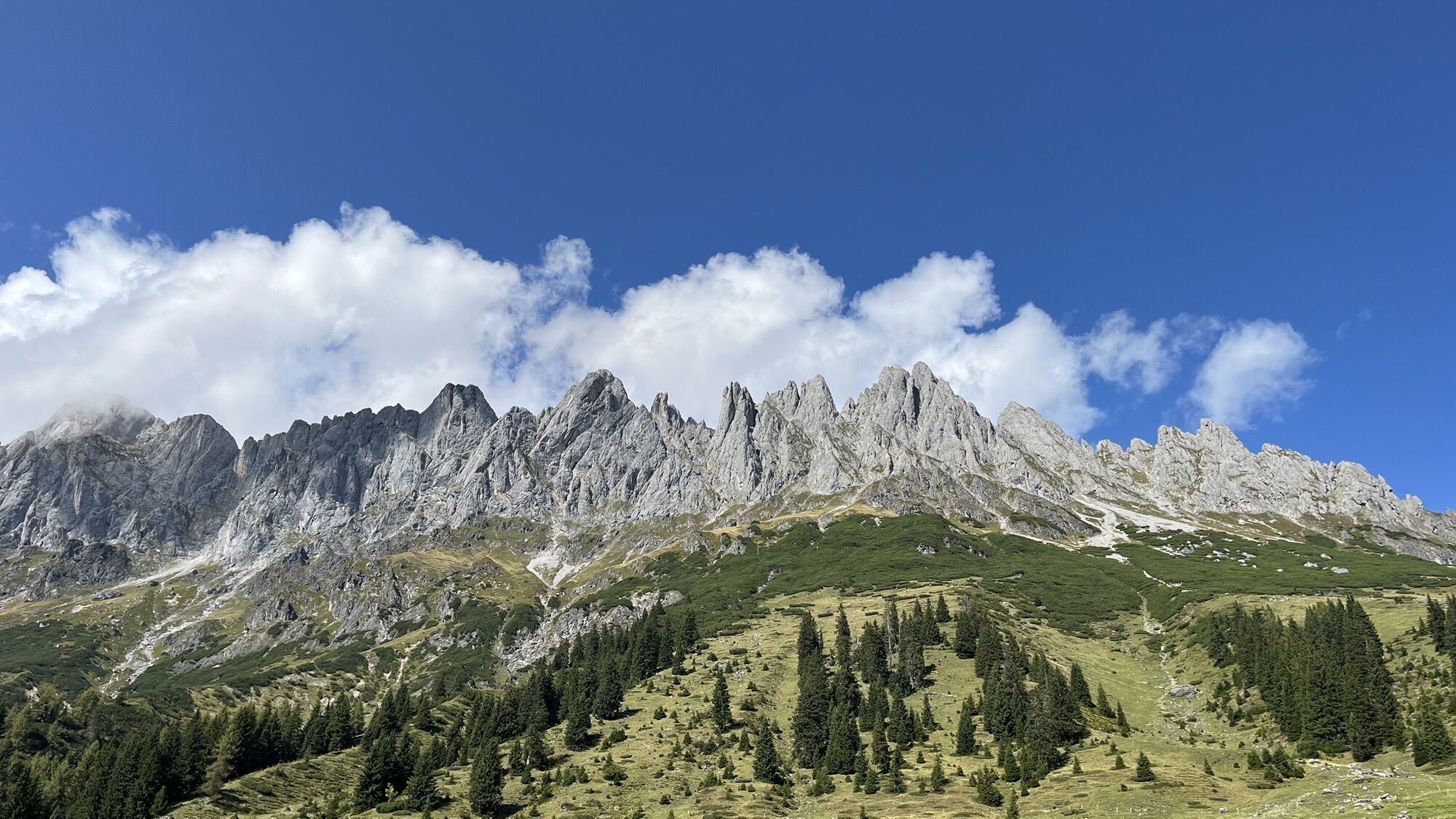

From the Arthurhaus, it goes downhill via Mandlwandstrasse to the Mitterbergalm. You can also take the Erzweg to Mitterbergalm (path 85). Then continue via alpine path no. 85a to Windraucheggalm, where...
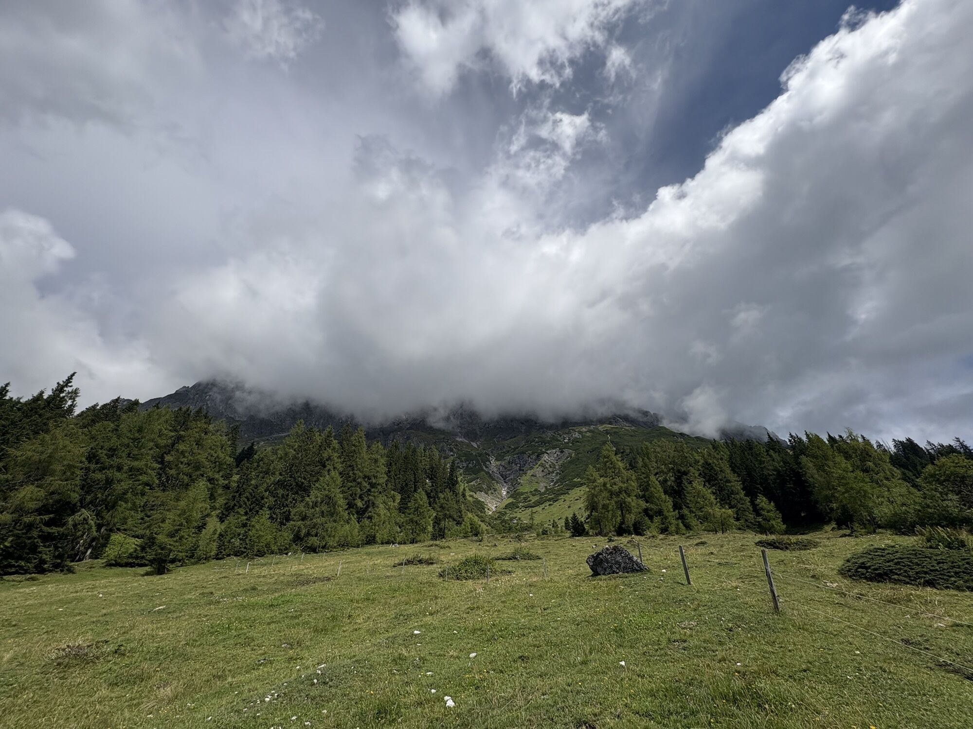
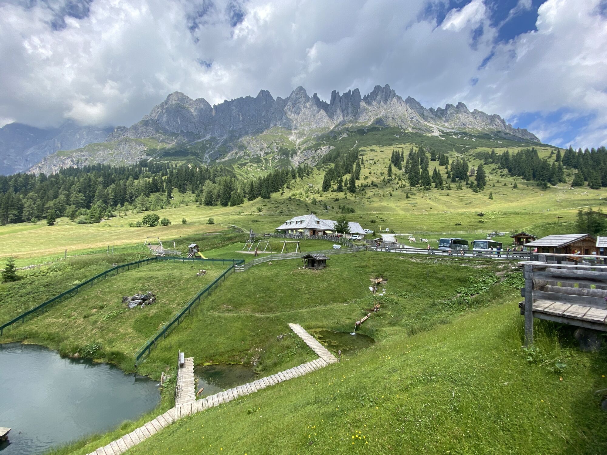
From the Arthurhaus, it goes downhill via Mandlwandstrasse to the Mitterbergalm. You can also take the Erzweg to Mitterbergalm (path 85). Then continue via alpine path no. 85a to Windraucheggalm, where you can rest comfortably. Return via the slightly ascending path no. 436 at the foot of the Mandlwände to the Arthurhaus.

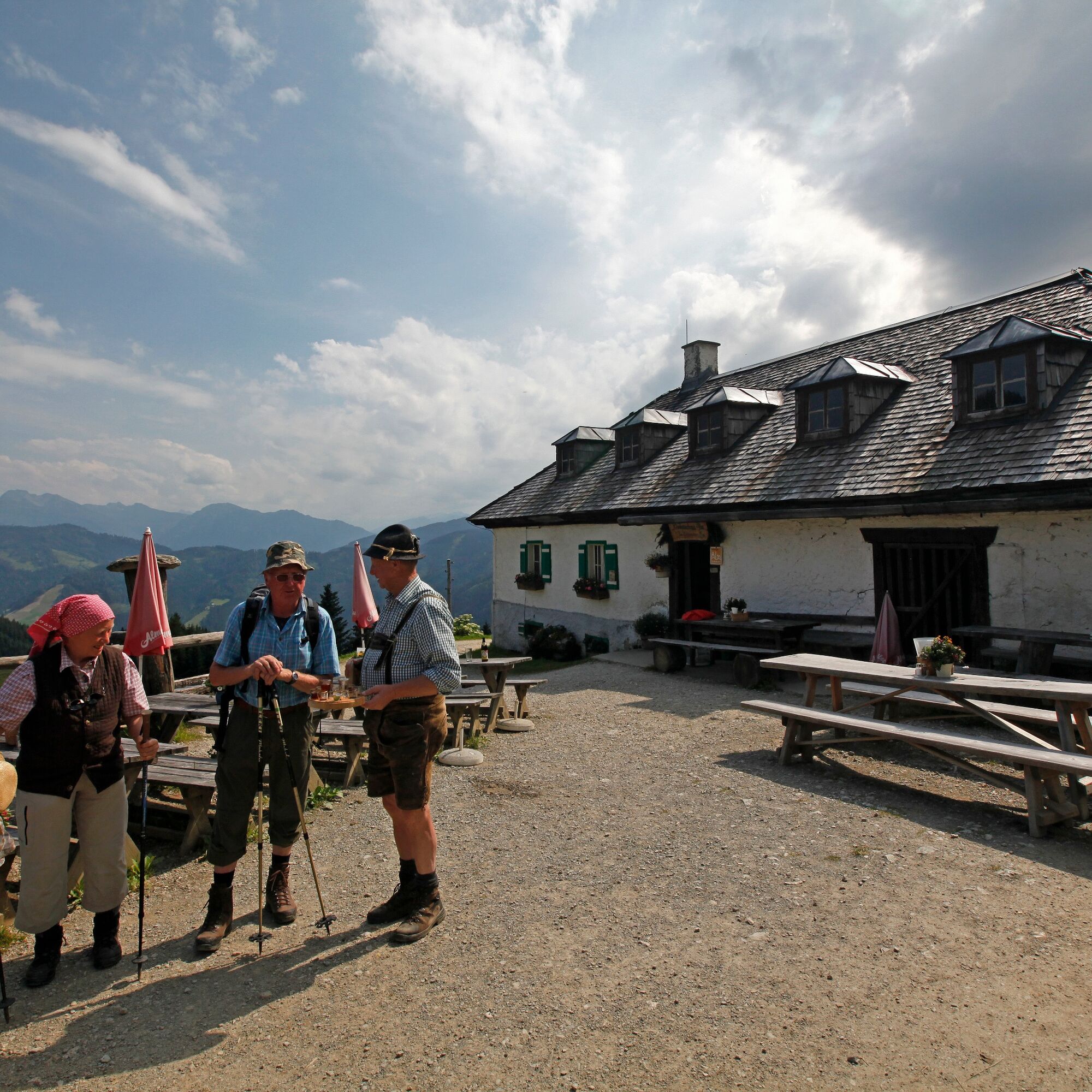
From the Arthurhaus to the Mitterbergalm, you can either take the asphalt road or the forest path along the Erzweg; alternatively, a gravel path also leads there.
Áno
Áno
Sturdy, ankle-high footwear
Hiking clothing
Hiking poles
Head covering
Sun protection and sunglasses with UV protection
Rain protection
Drinks and a small snack
Necessary medications
First aid kit
Hiking map
Self-assessment: Before every mountain tour, check your physical fitness and realistically assess your strength as well as that of your companions – especially your children! Sure-footedness and being free from dizziness are often very important!
Planning and preparation: Plan each intended mountain tour carefully in advance. Hiking maps and guides as well as information from alpine clubs and locals such as mountain guides and hut hosts can be helpful.
Equipment: In the mountains, you need appropriate equipment and clothing, especially sturdy, high footwear with a grippy sole. Weather and cold protection are indispensable because the weather can change unexpectedly.
Weather forecasts: Observe the current weather conditions at: zamg.at or www.uwz.at.
Togetherness: Observe the 10 rules for proper interaction with grazing animals and leave no waste in nature!
Do not dislodge stones: Do not dislodge stones because it could seriously endanger other hikers. Marked areas with risk of rockfall should be crossed as quickly as possible with attention and caution.
Turn back in time: This is no disgrace but a sign of reason. It becomes necessary when the weather changes, fog sets in, or when the path is too difficult or not in good condition.
Emergency numbers: Alpine emergency: 140, International emergency: 112, Rescue: 144
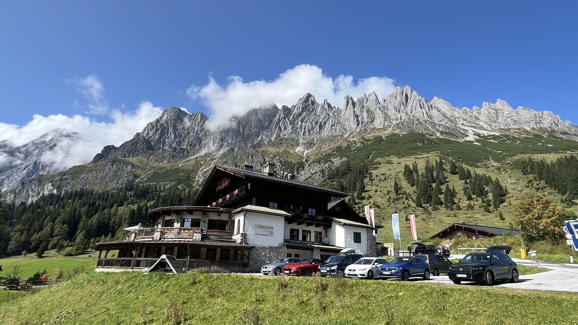
Hochkönig federal road B164, via Mandlwandstrasse towards Arthurhaus.
The parking lot is located next to the Arthurhaus and is subject to a fee. The parking meter is located in the container at the parking lot. When consuming at the Arthurhaus or Schweizerhütte for €20, 10 hours of parking time will be credited on the chip. Please have the chip validated at the point of consumption.
More information about hikes and activities in the Hochkönig region:
For detailed information about hiking maps, operating times of mountain lifts, as well as huts and alpine pastures in summer, we recommend visiting the local service center. There, you will receive not only the hiking map but also valuable tips on the best hiking routes and current conditions.
Operating times of mountain lifts in summer: The mountain lifts offer various operating times during the summer months that may vary depending on weather conditions and season. Please check the current operating times in advance.
Operating times of huts and alpine pastures in summer: The huts and alpine pastures in the region are ideal rest stops for hikers. Here too, the operating times may vary depending on season and day of the week. Let the friendly hosts advise you on local offers and specialties.
For more information, please visit our website: www.hochkoenig.at.
If you have any questions or would like to receive specific information, feel free to contact us:
Email: region@hochkoenig.at
Phone: +43 (0)6584 20388
We look forward to helping you and wish you lots of fun exploring the beautiful hiking region Hochkönig!
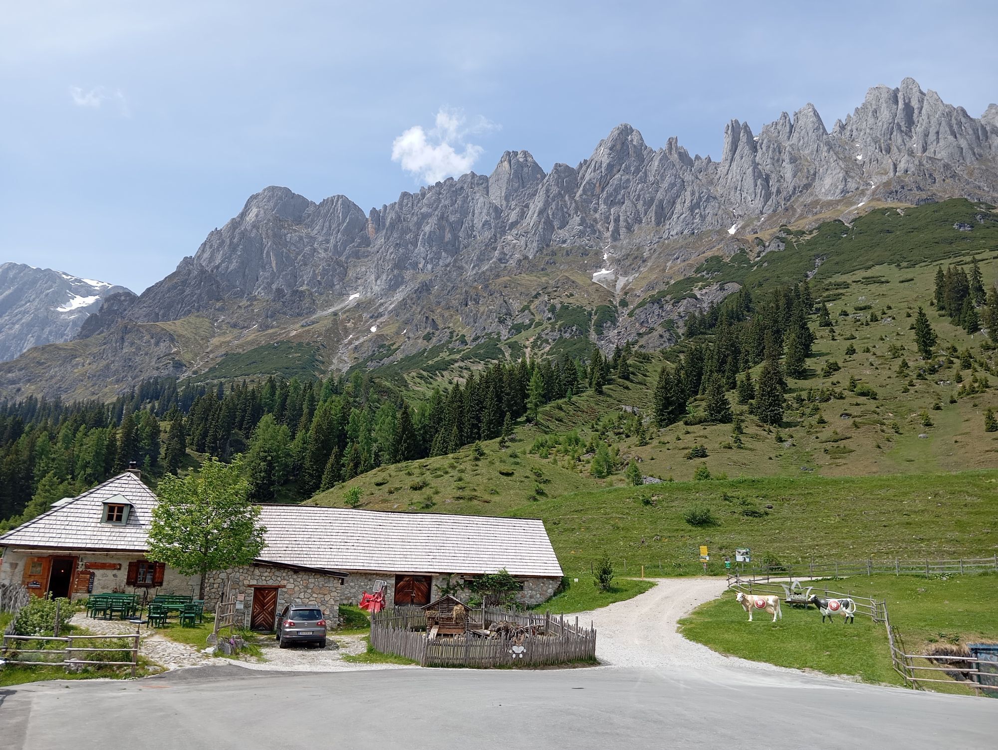
Regional products at Windraucheggalm, Schweizerhütte, Arthurhaus.
Webové kamery z prehliadky


Obľúbené výlety v okolí
-
4,8
Summit stormer route Lauskopf
ťažkéTuristika 8,16 km -
4,9
Werfenweng Mountainbikerunde Söldenhütte
strednáMountainbike 18,8 km -
4,8
Summit storming route Taghaube
ťažkéTuristika 6,25 km -
4,7
Panorama hike to the Hochkeil
strednáTuristika 6,07 km -
4,7
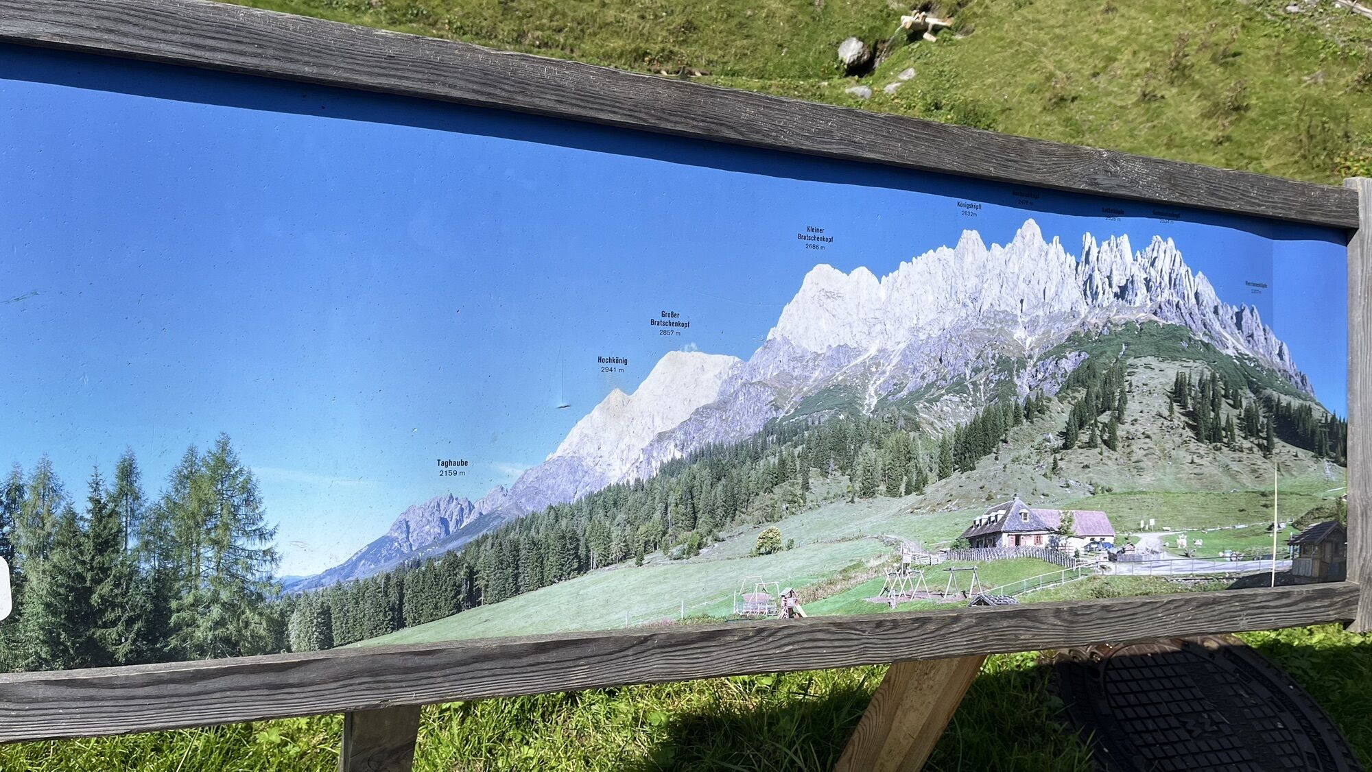
About the "Four Huts circular route" to Windraucheggalm
strednáTuristika 10,1 km -
3,6
Wanderung zur Ostpreußenhütte in Werfen (1.630 m)
strednáTuristika 11,2 km -
4,8
Hochkönig - Gipfel der Gefühle - Matrashaus
ťažkéTuristika 20,9 km -
4,4
Alpine and hut hike "Hochmaisalm & Steinbockalm"
strednáTuristika 8,10 km -
4,6
Königsjodler Klettersteig (C/D) Hochkönig
ťažkéVia ferrata 25,8 km -
4,8
Circular route Arthurhaus - Mitterfeldalm
strednáTuristika 4,97 km
Turistika a stopovanie


Nenechajte si ujsť ponuky a inšpiráciu na ďalšiu dovolenku
Vaša e-mailová adresa bol pridaný do poštového zoznamu.