







PINZGA HATSCHA Stage 14 (from Leogang to Weißbach)



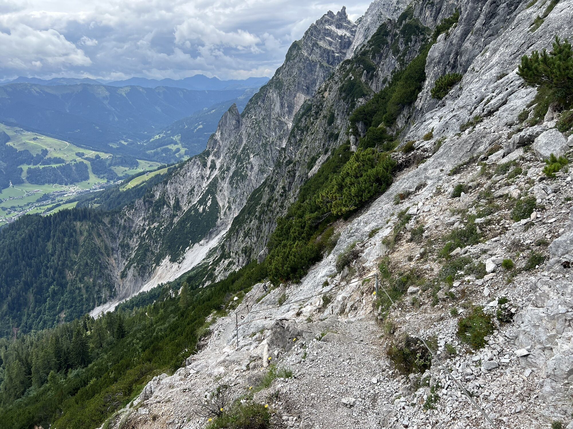
From the starting point at the Asitzbahn, follow the stream gently towards Saalfelden until you turn off at Rosental towards Birnbachloch/Passauer Hut. Here follow the signs for Birnbachloch/Passauer Hut....
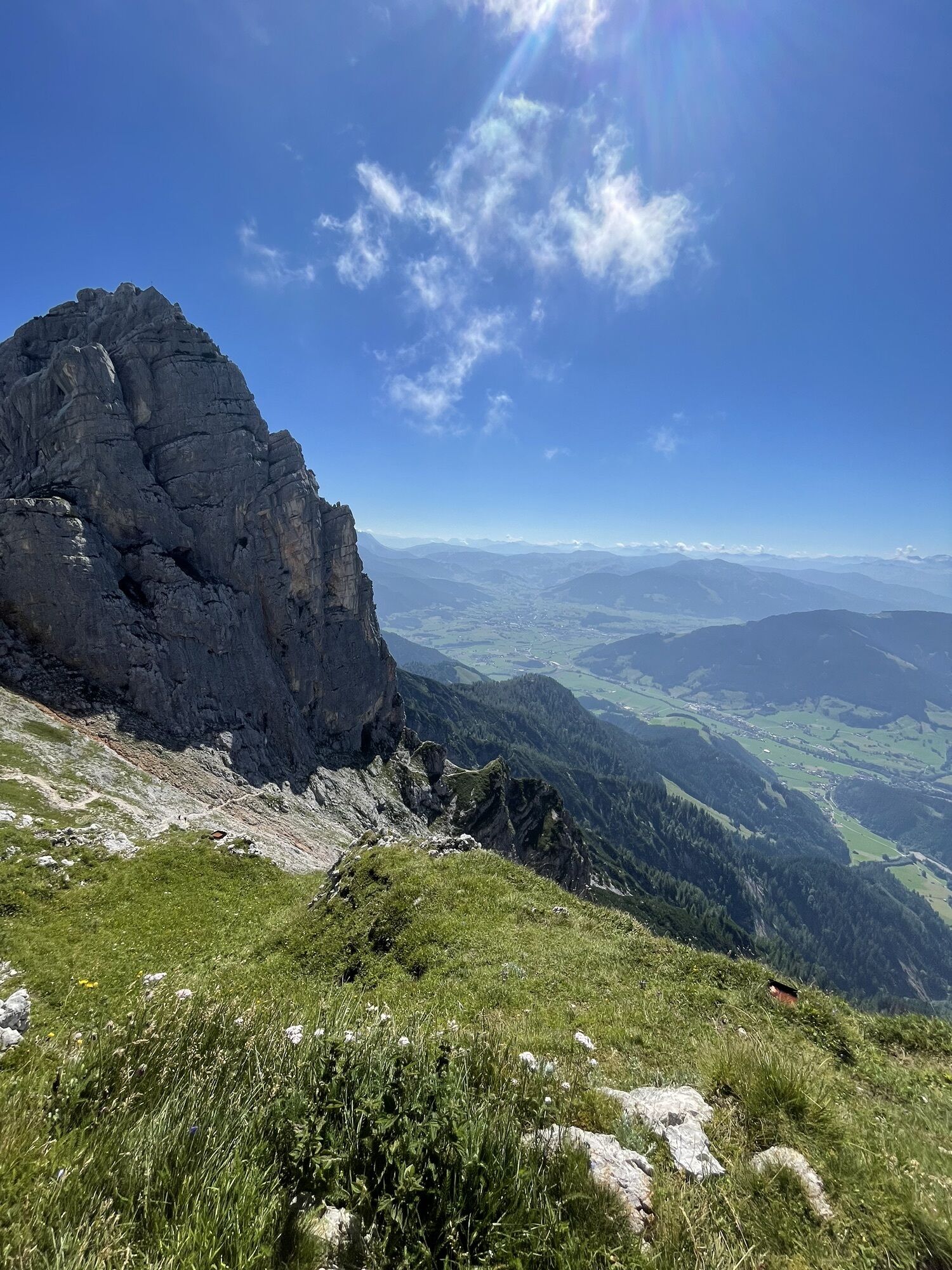
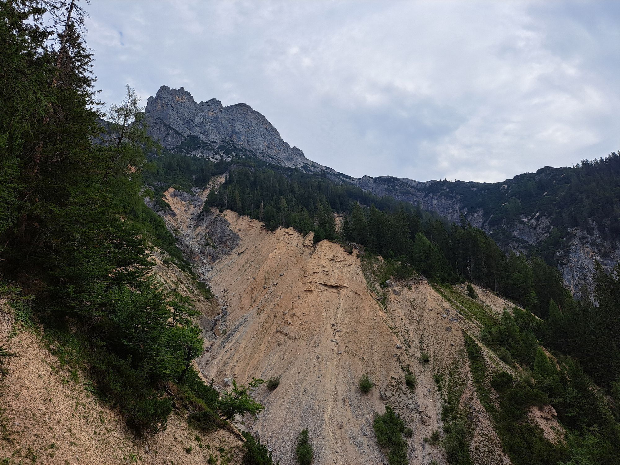
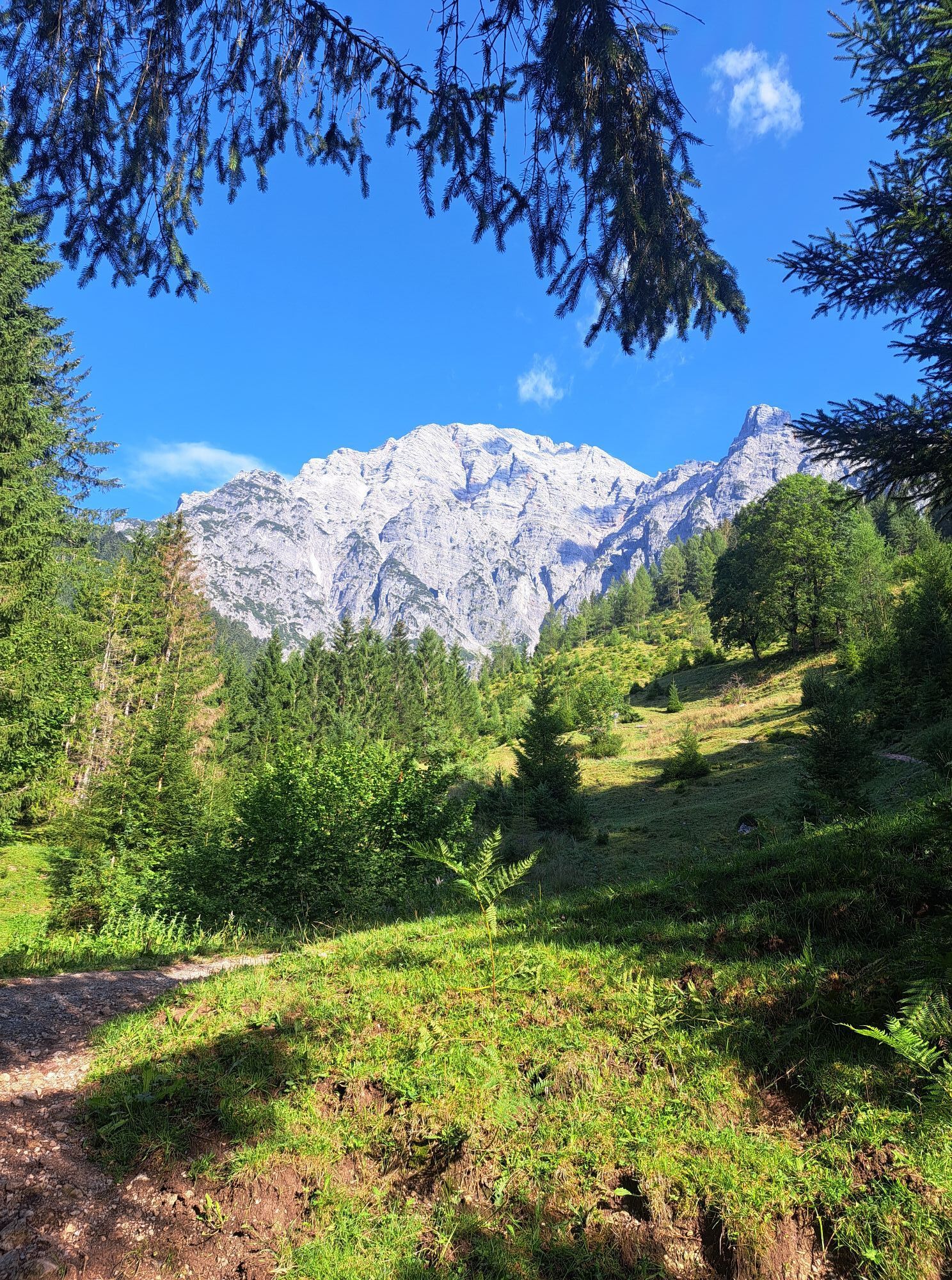
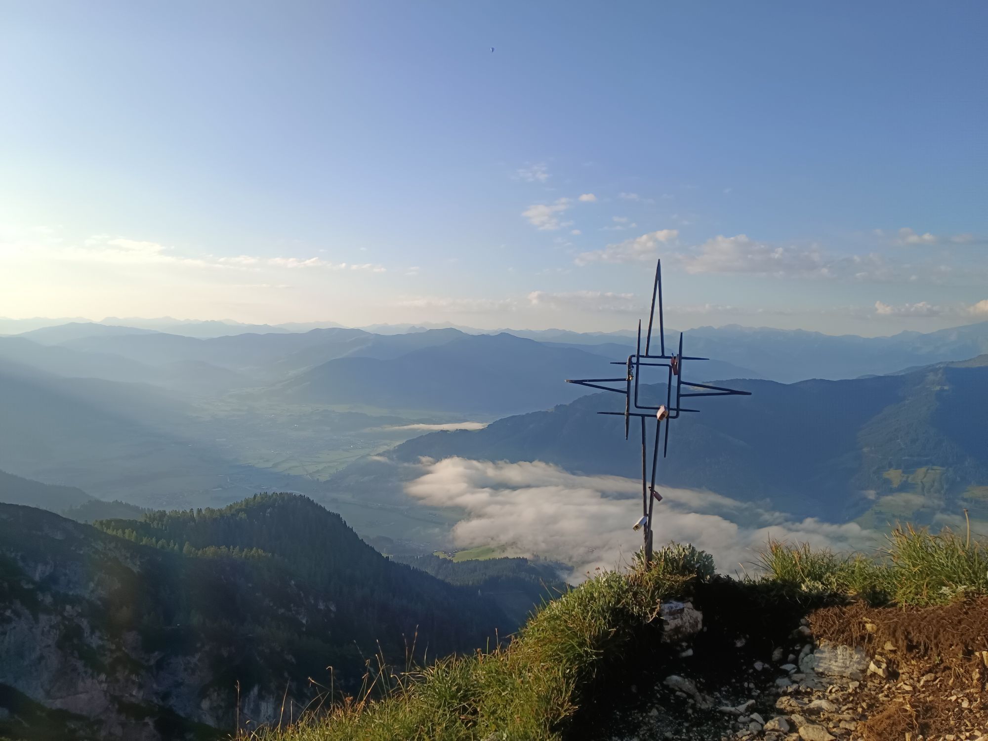
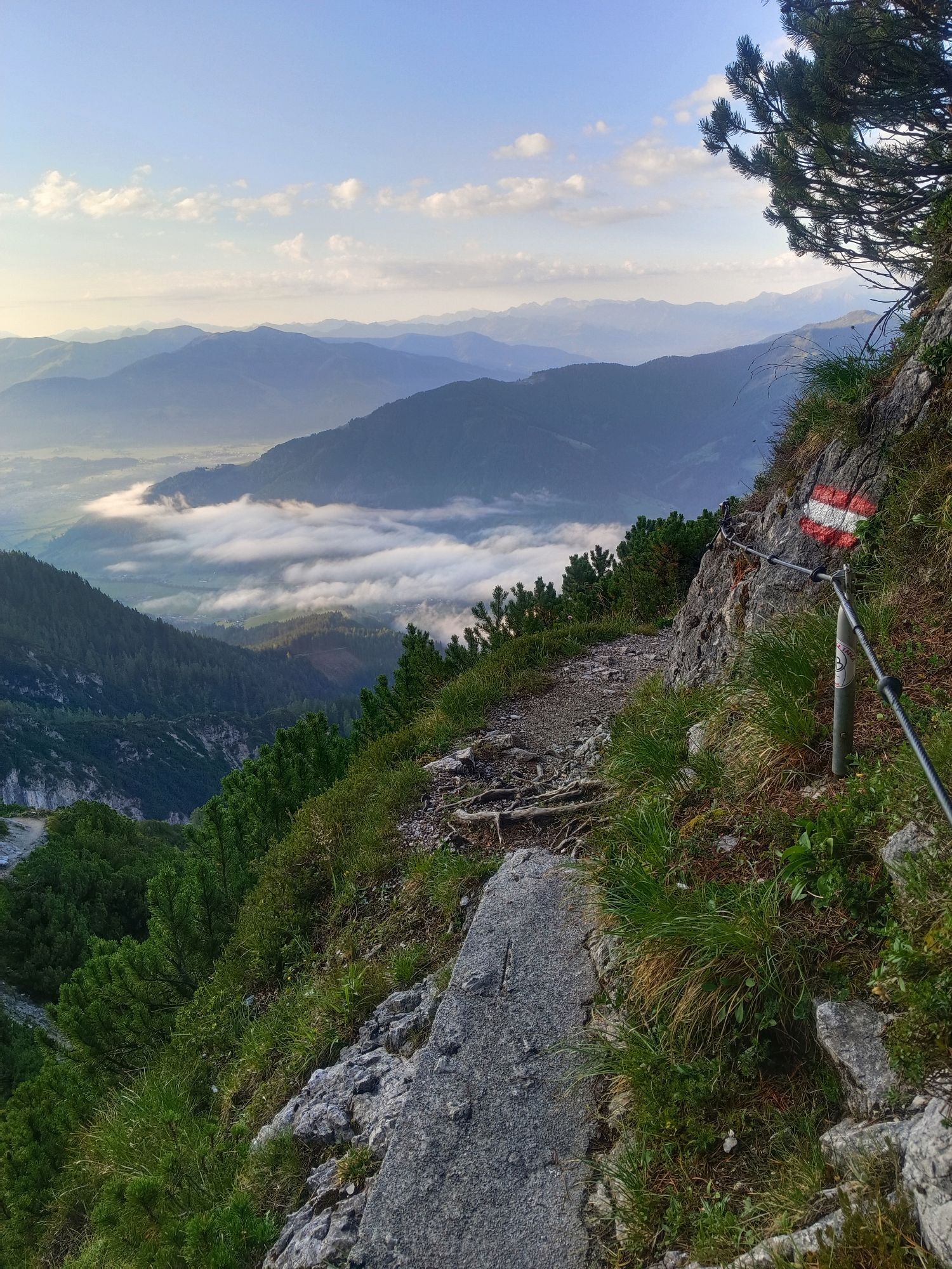
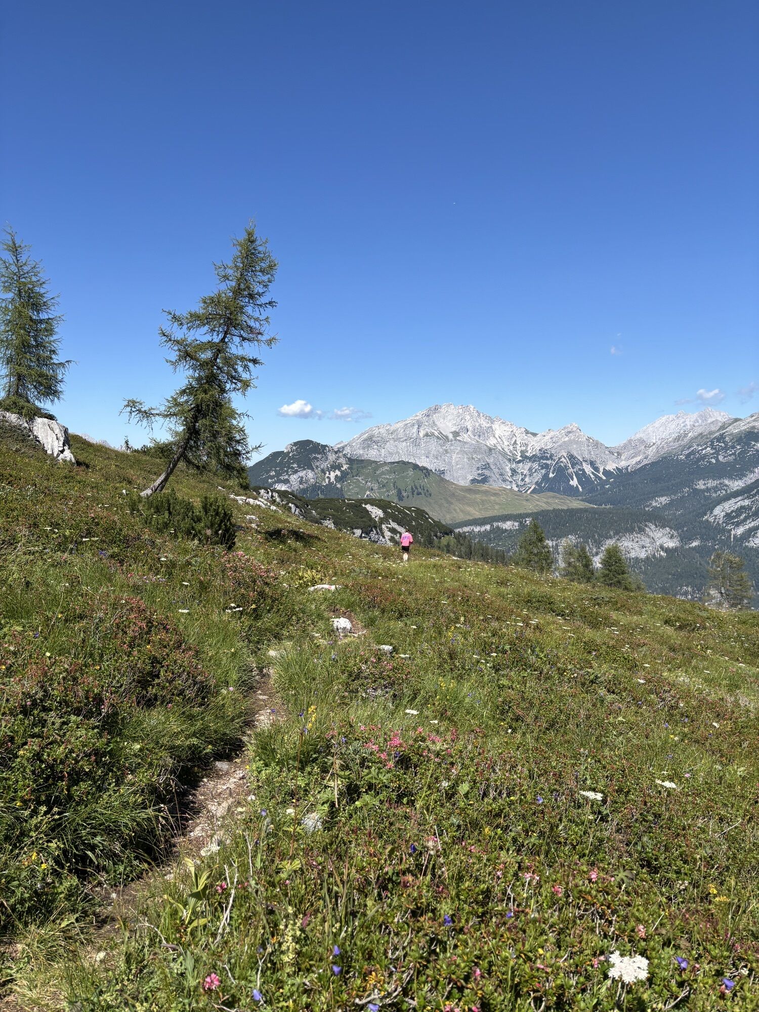
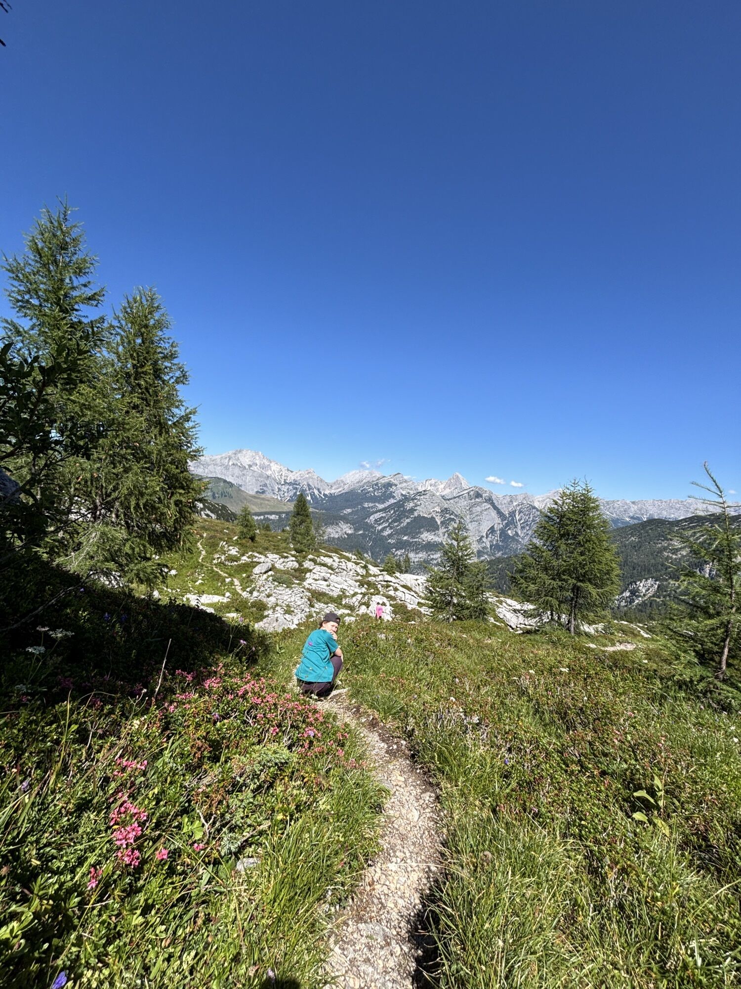
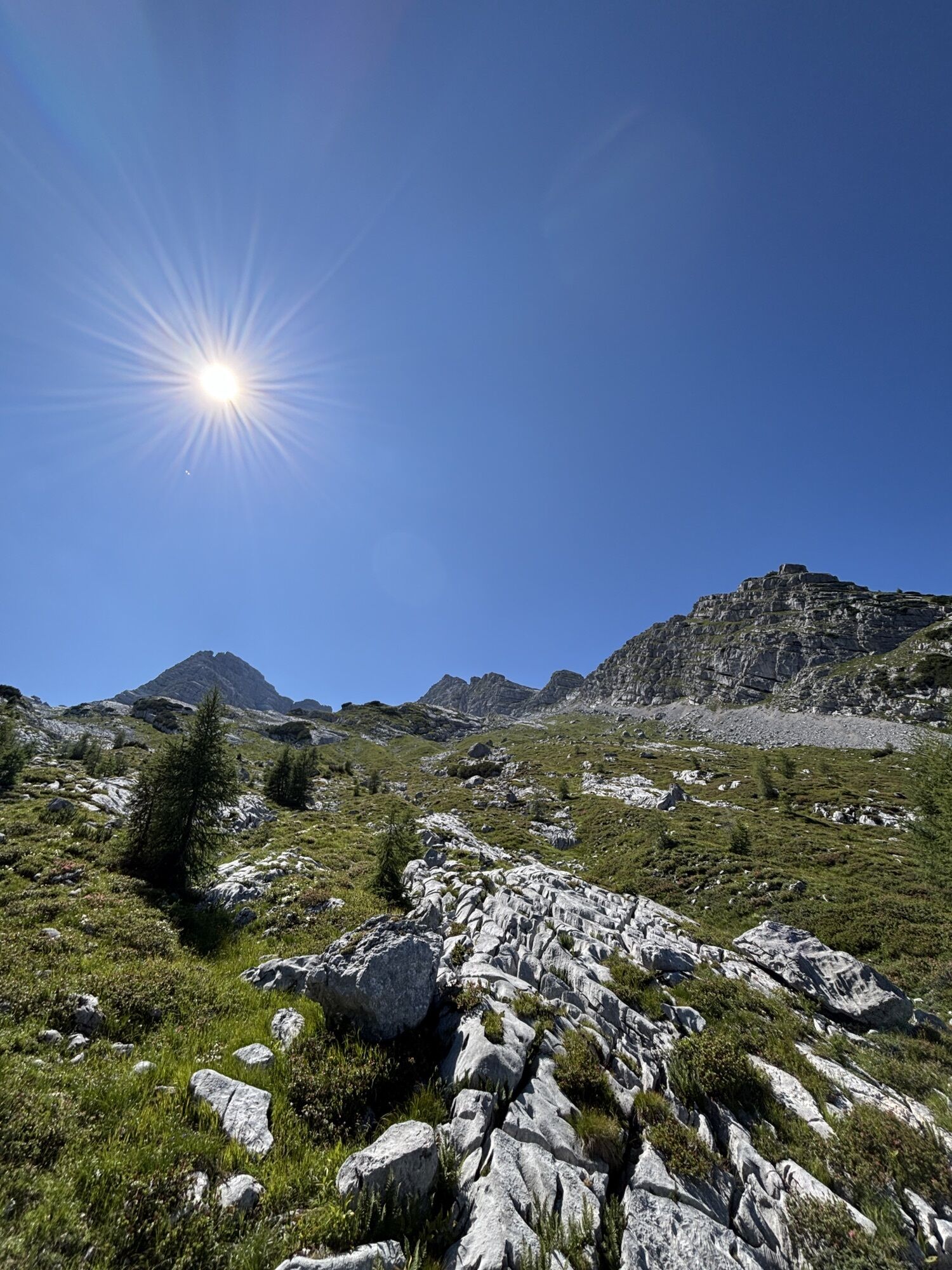
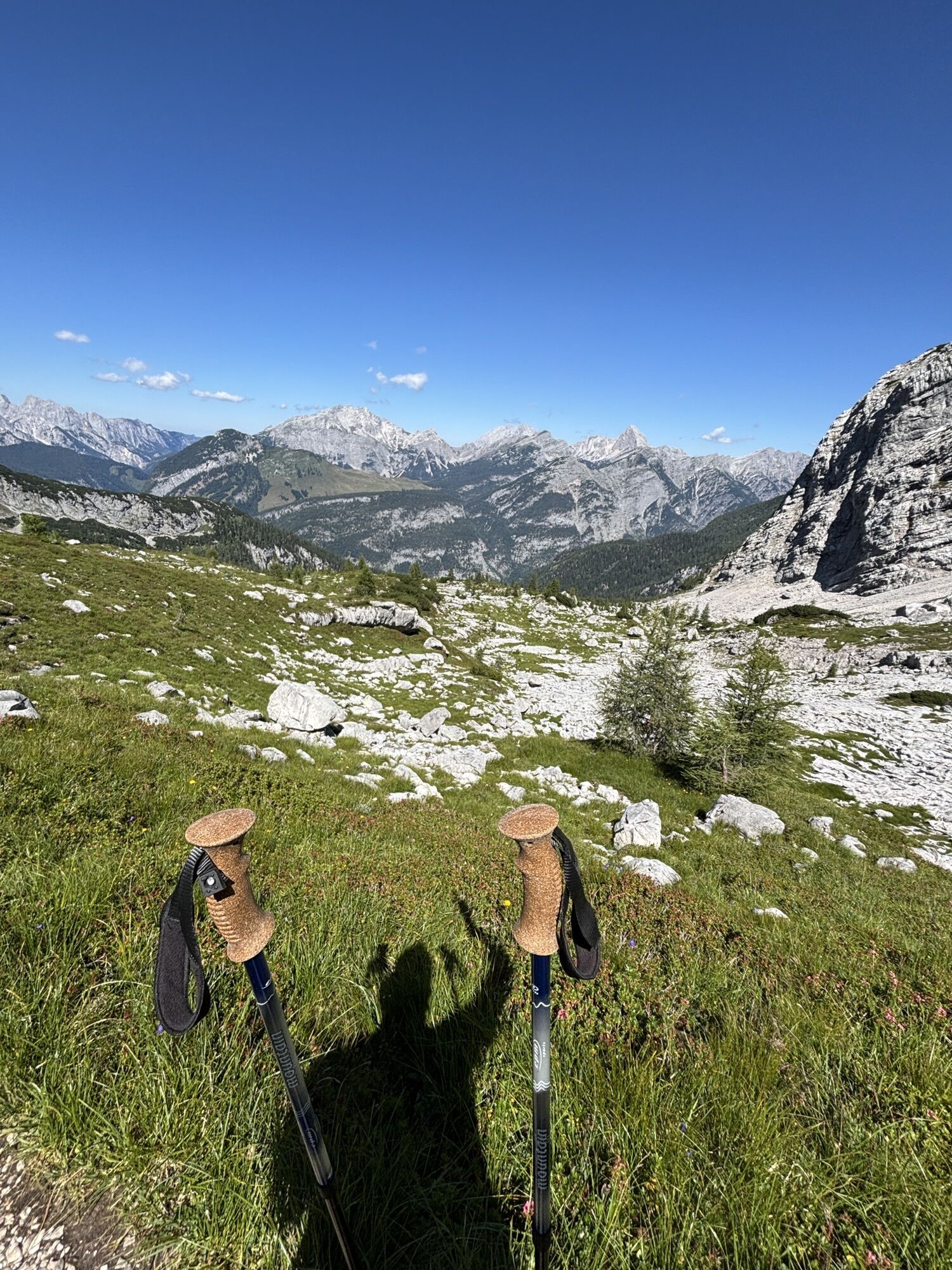
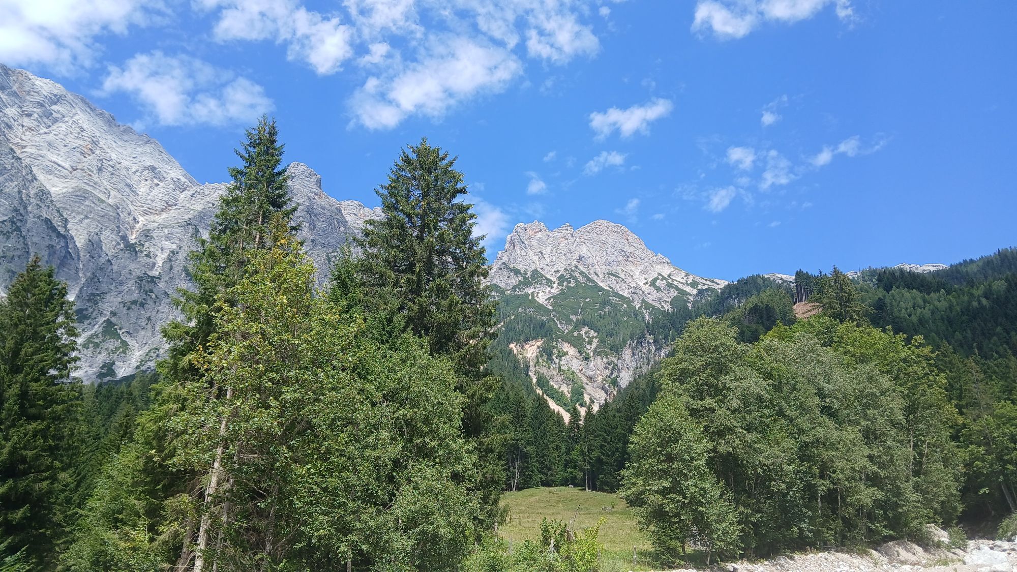
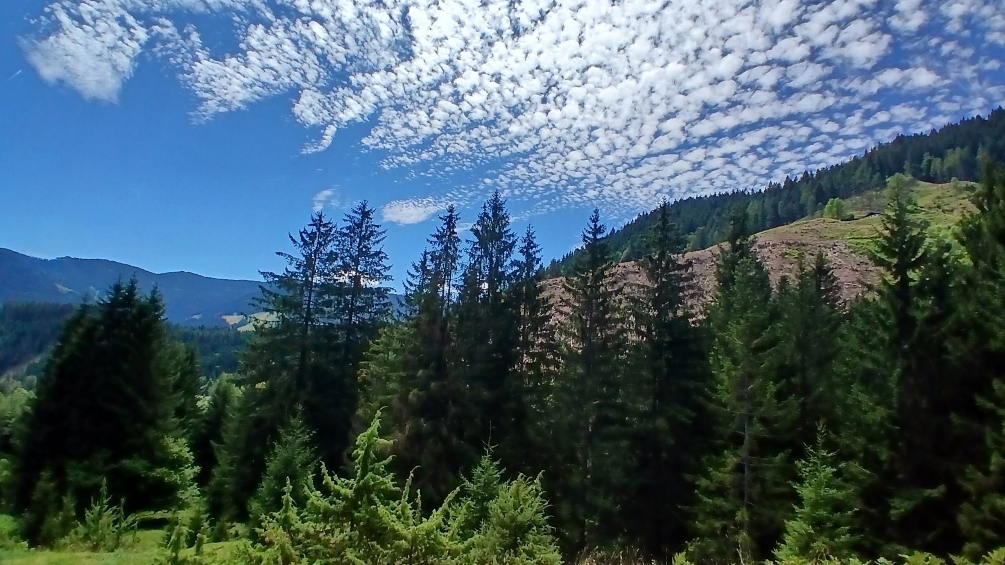
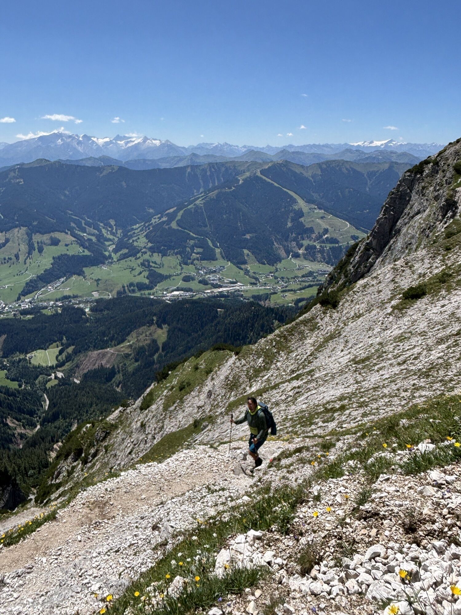
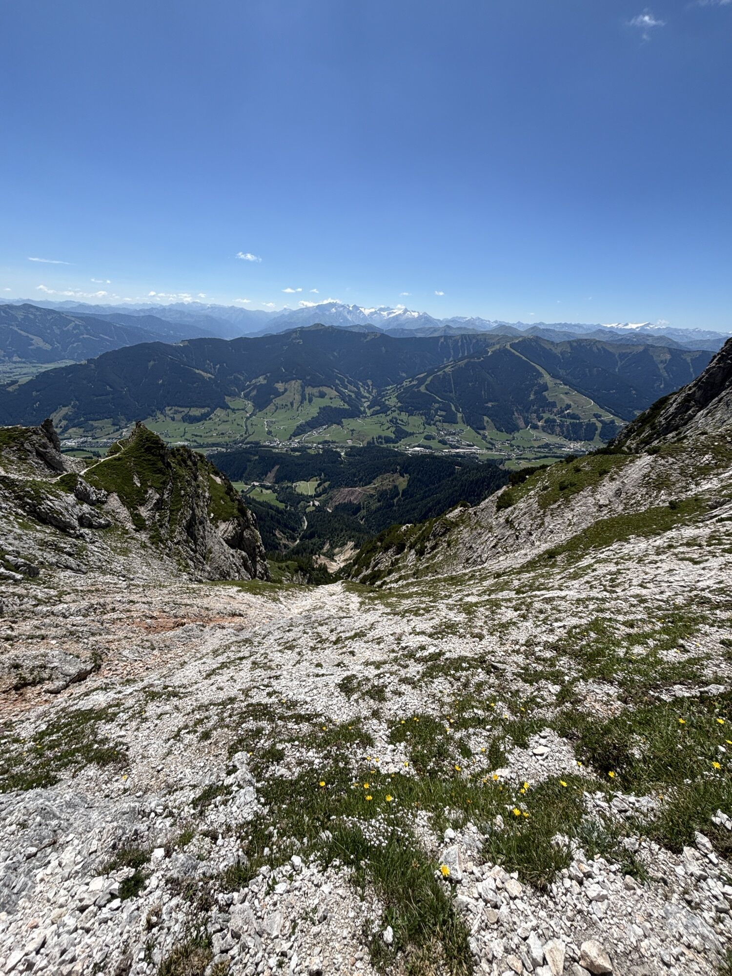
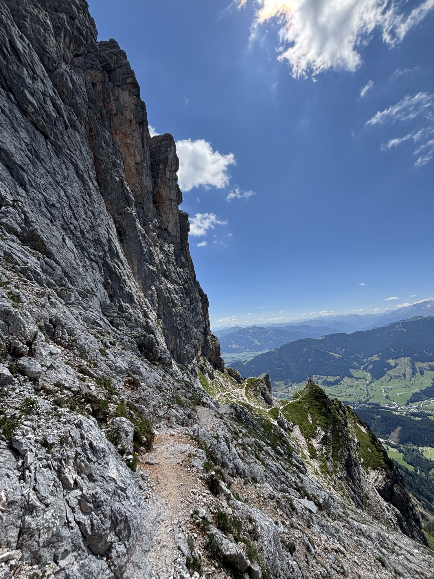
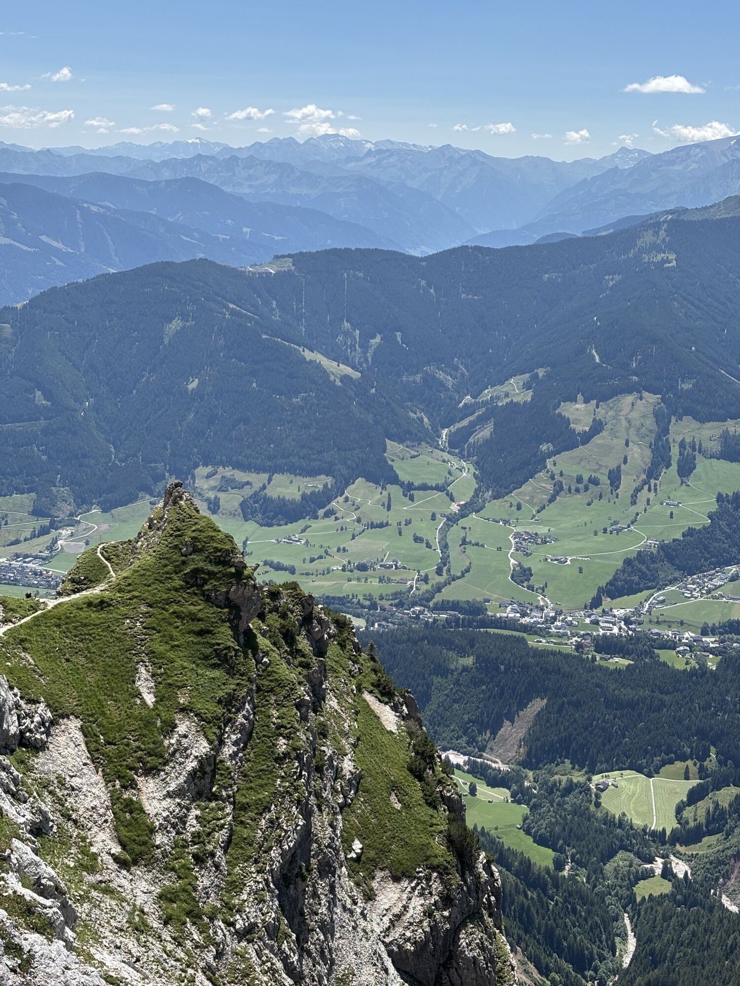
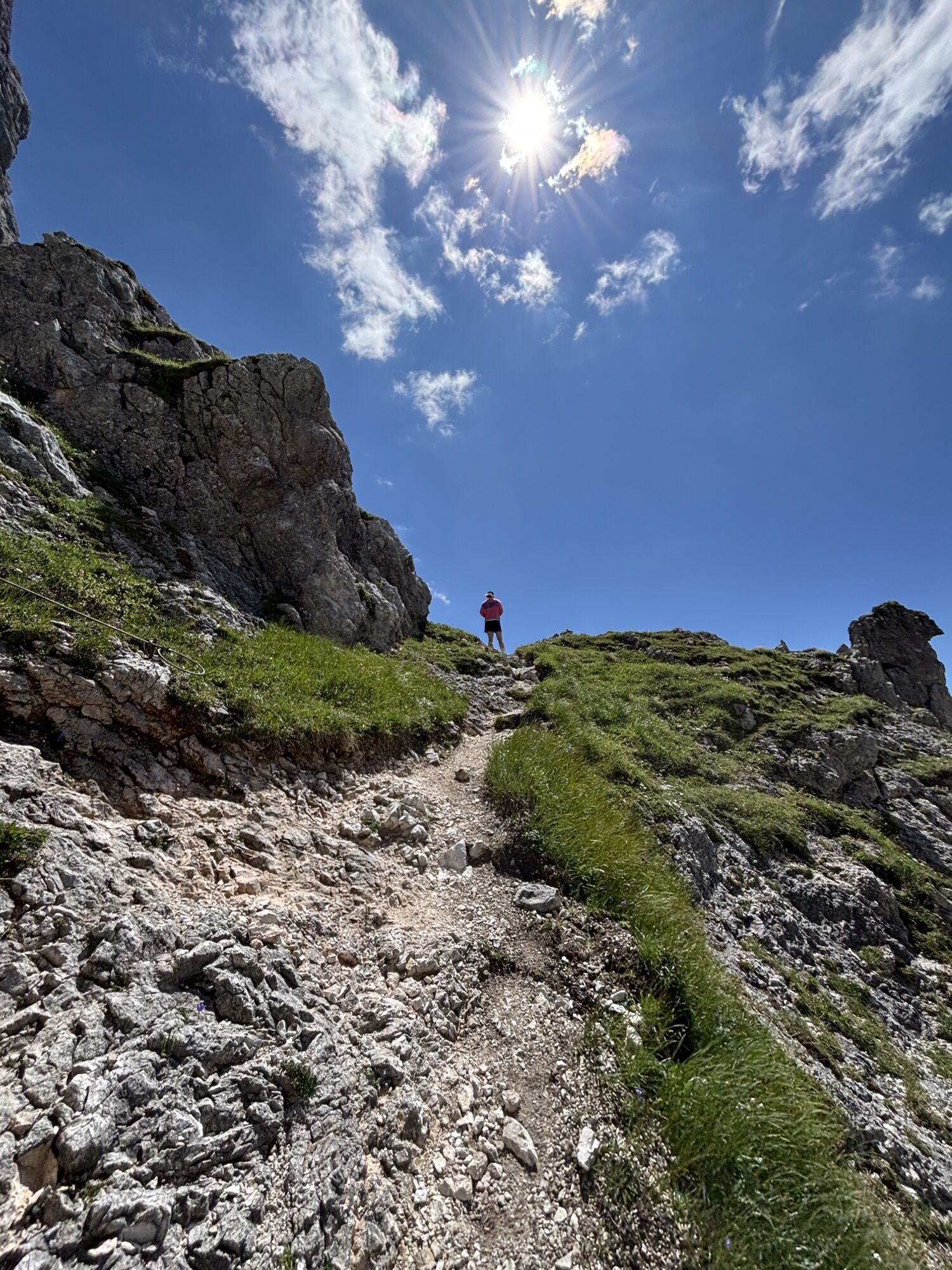
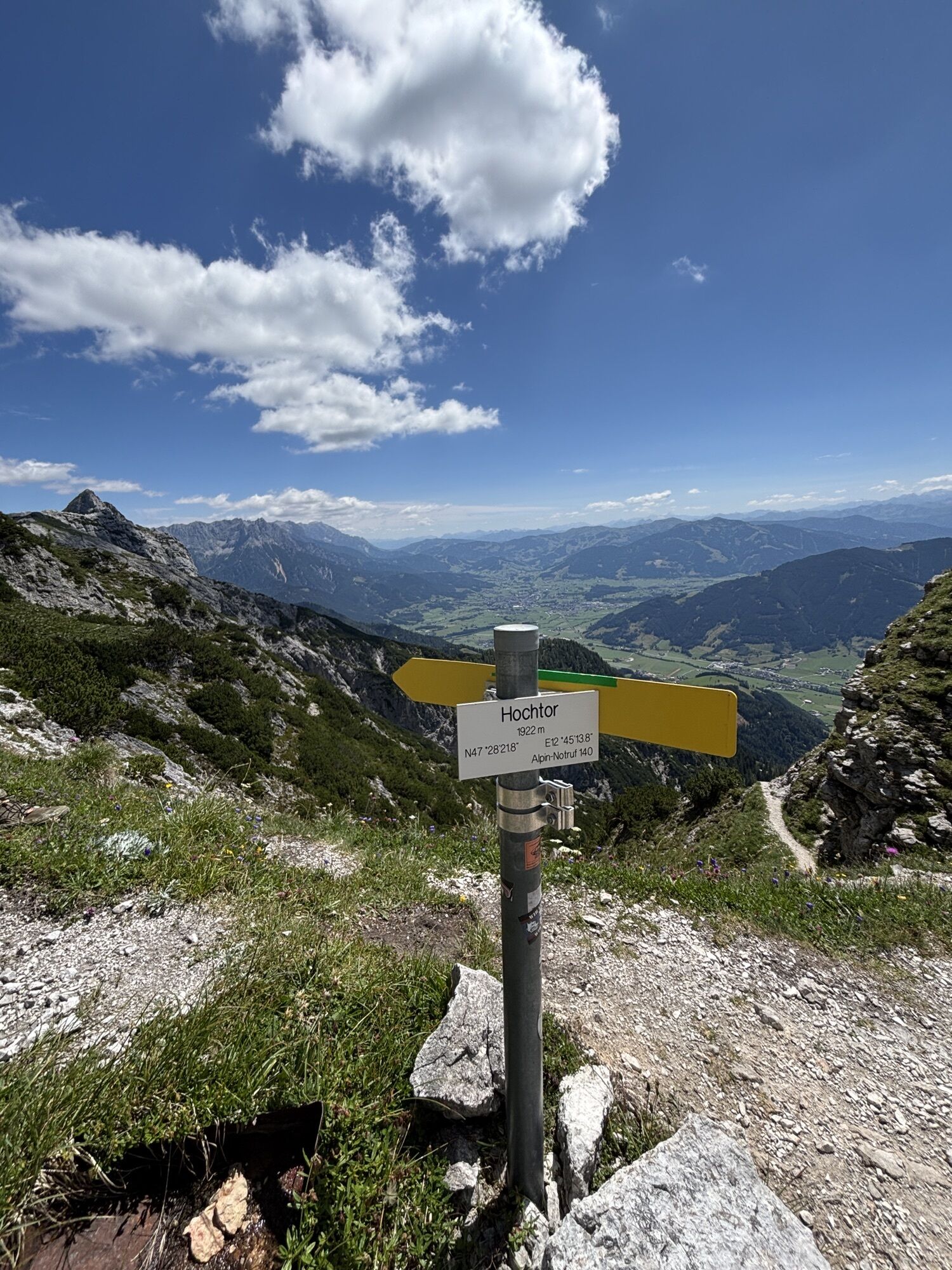
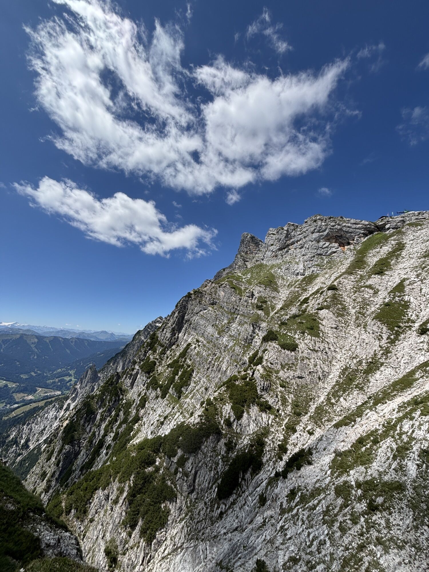
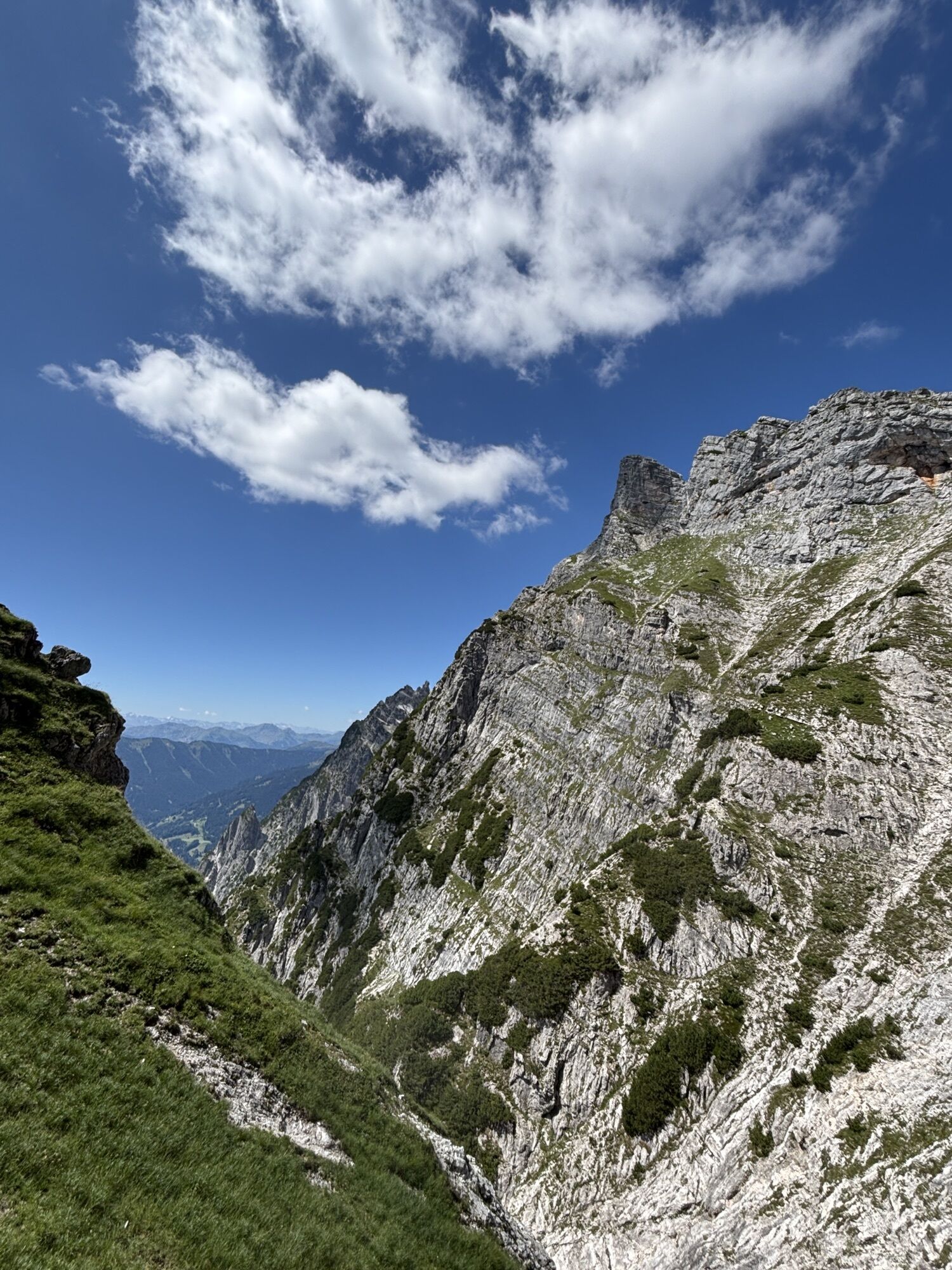
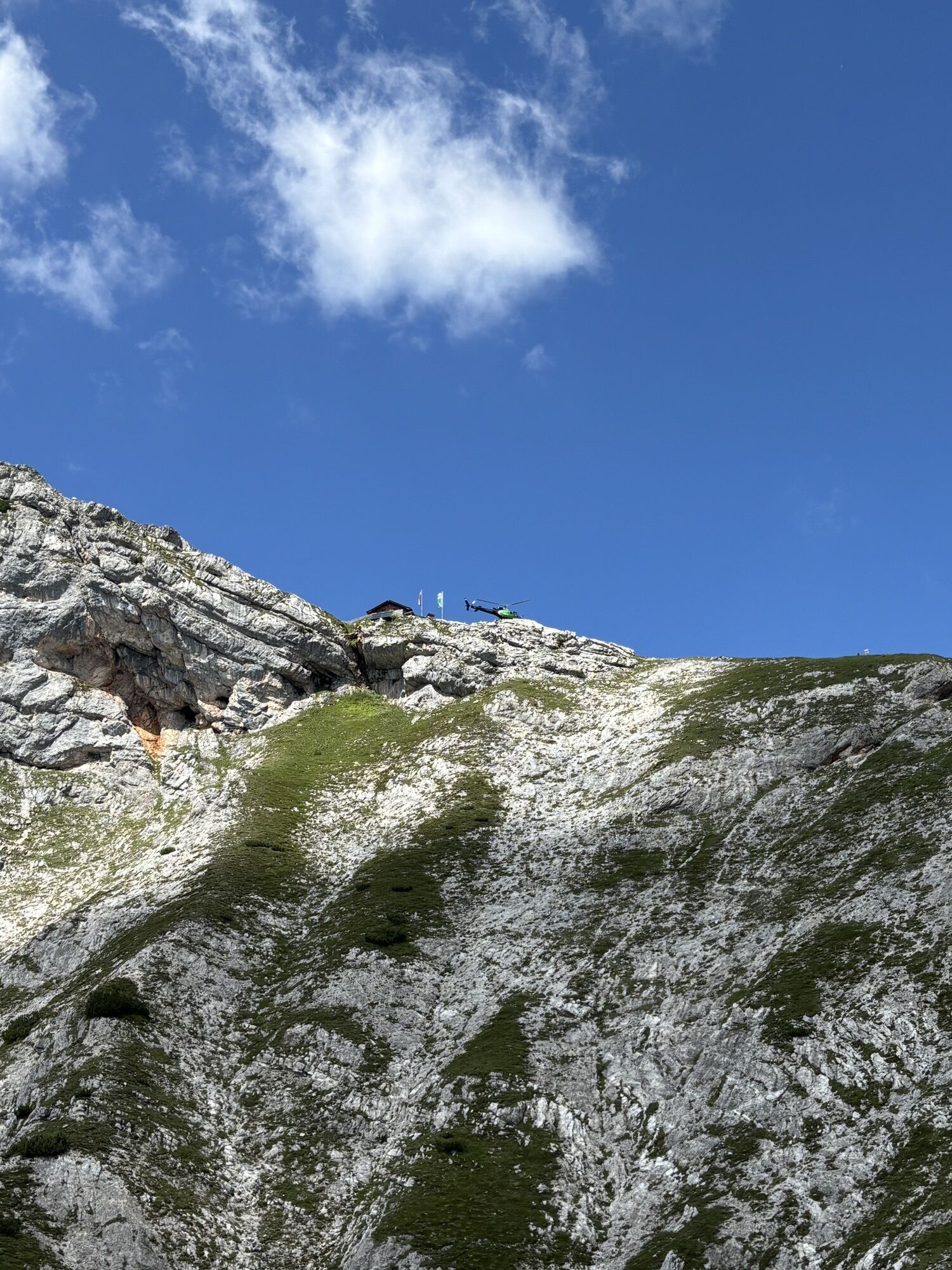
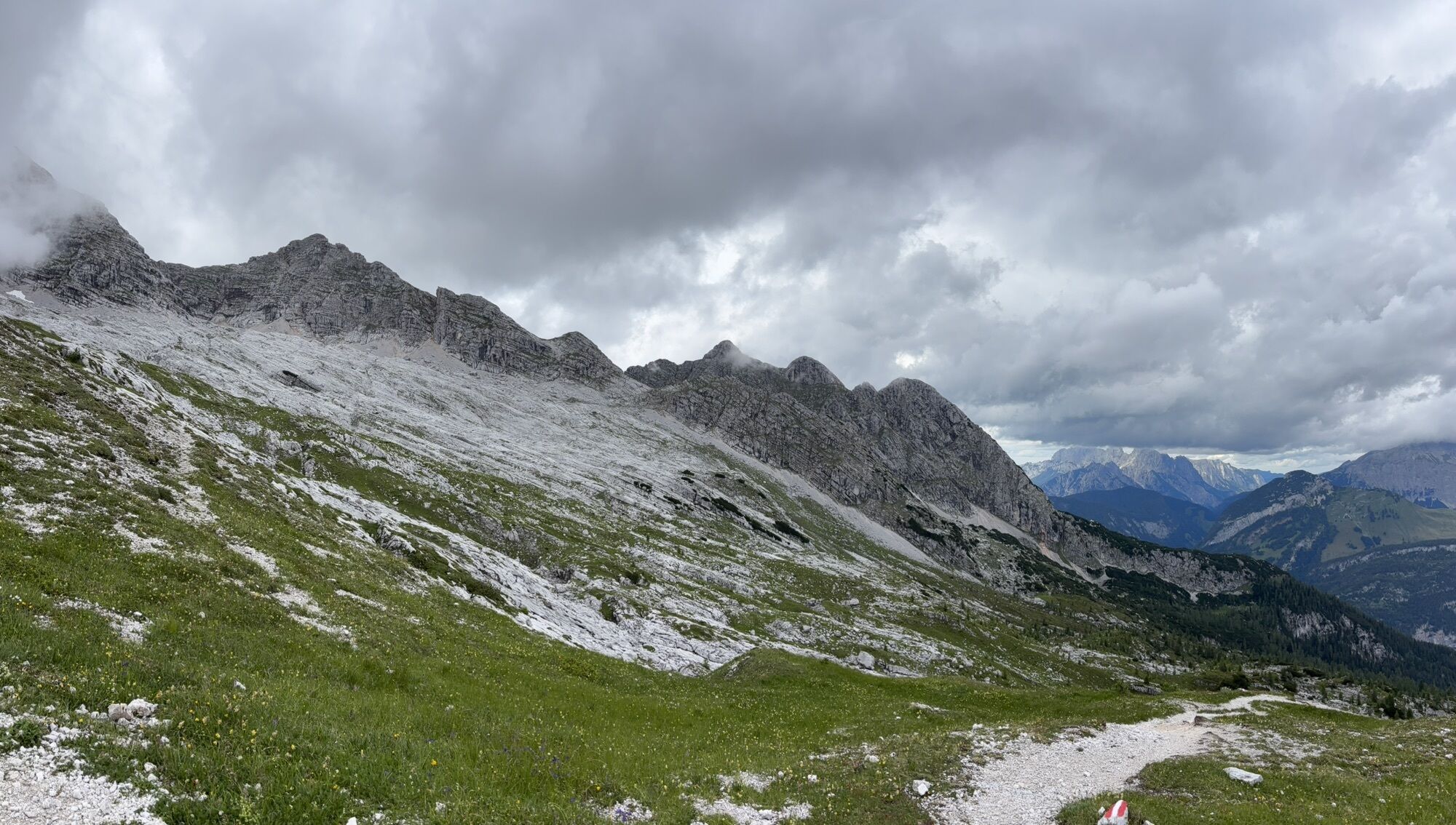
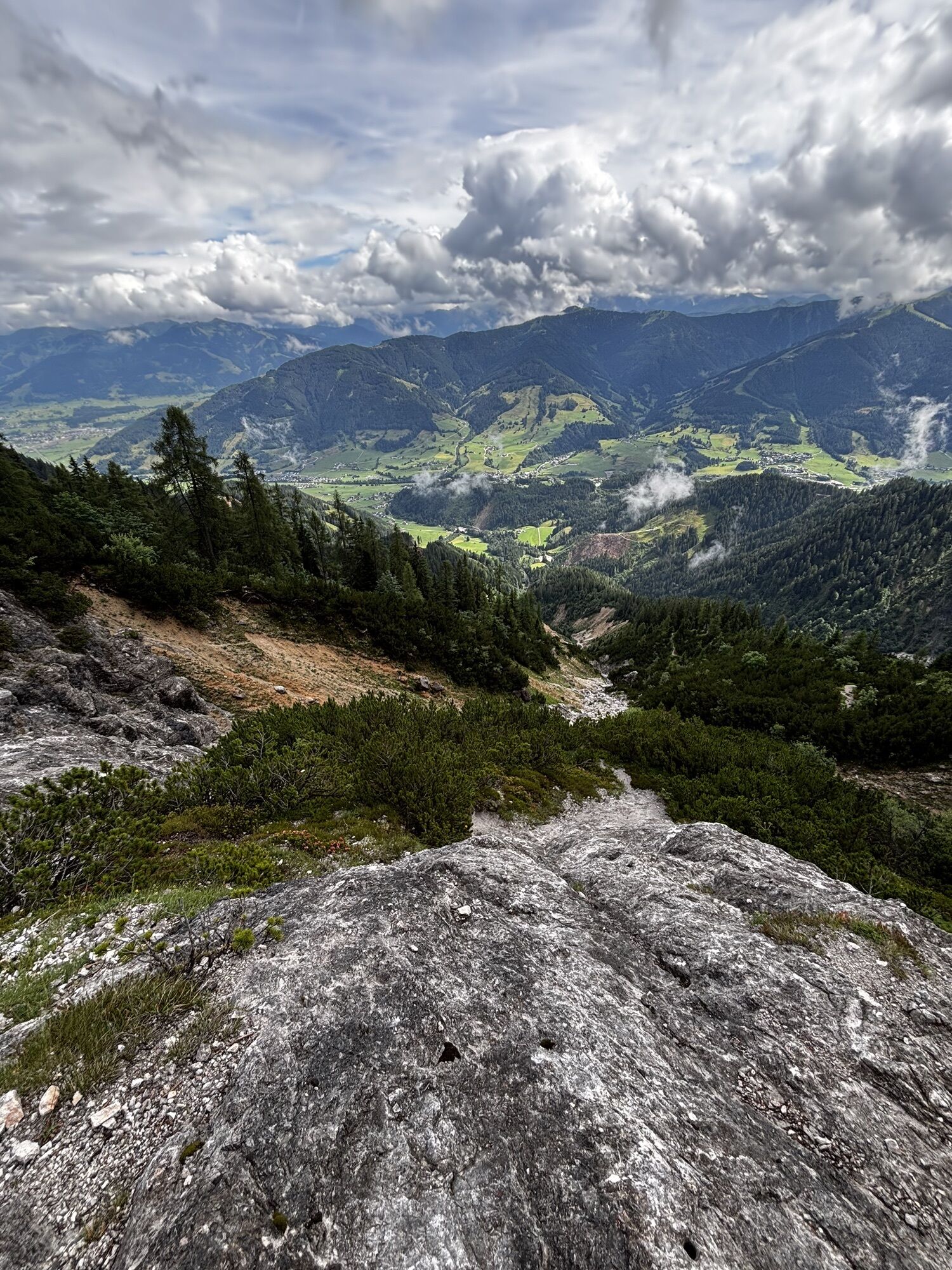
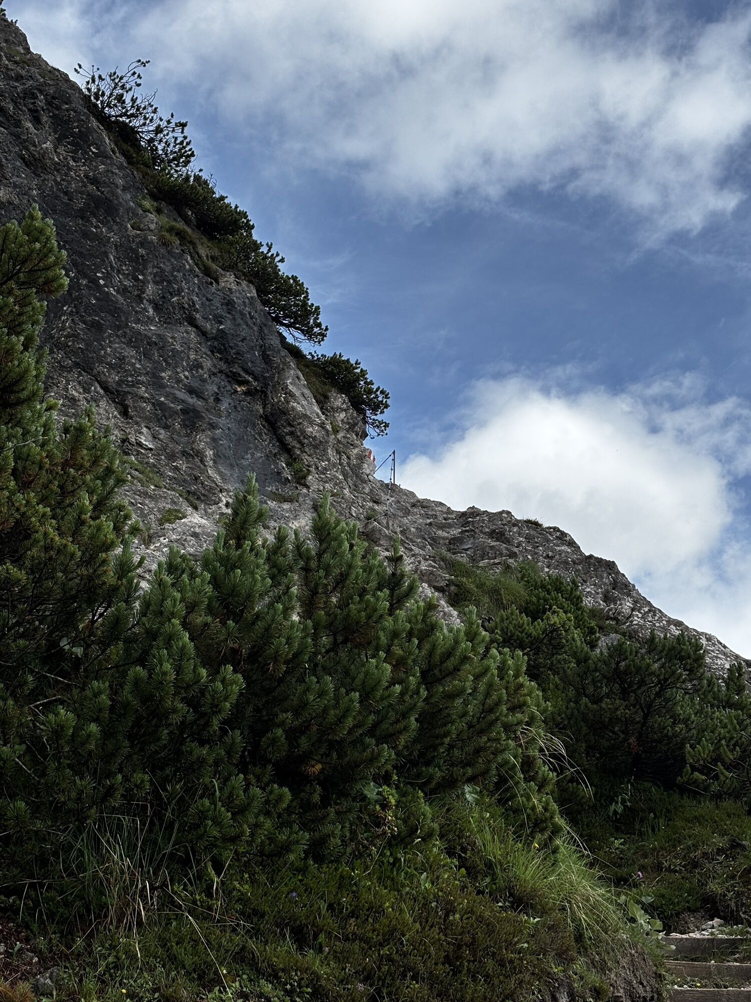
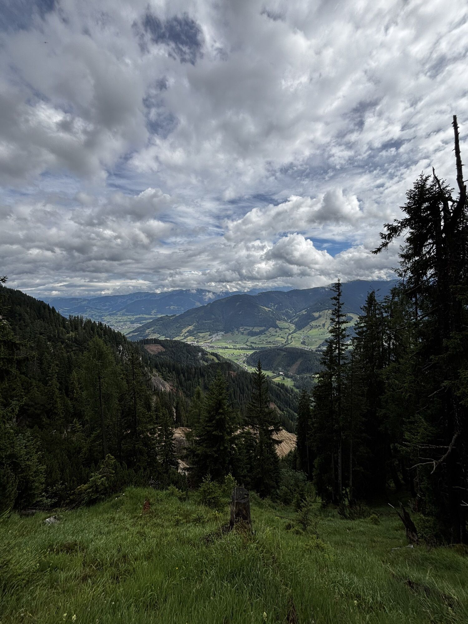
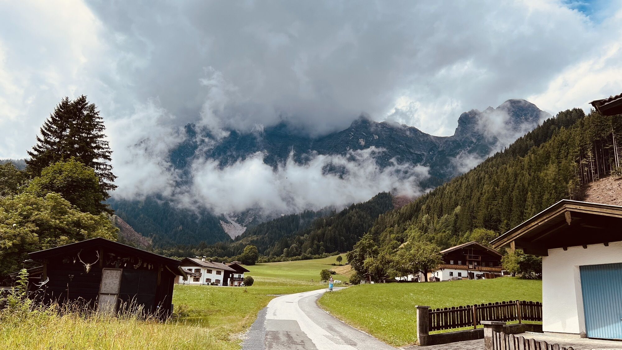
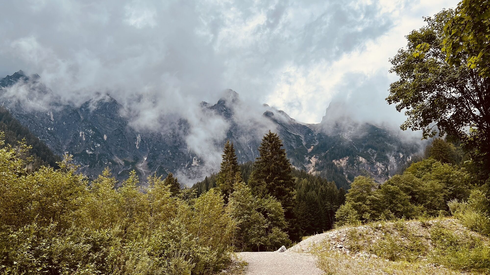
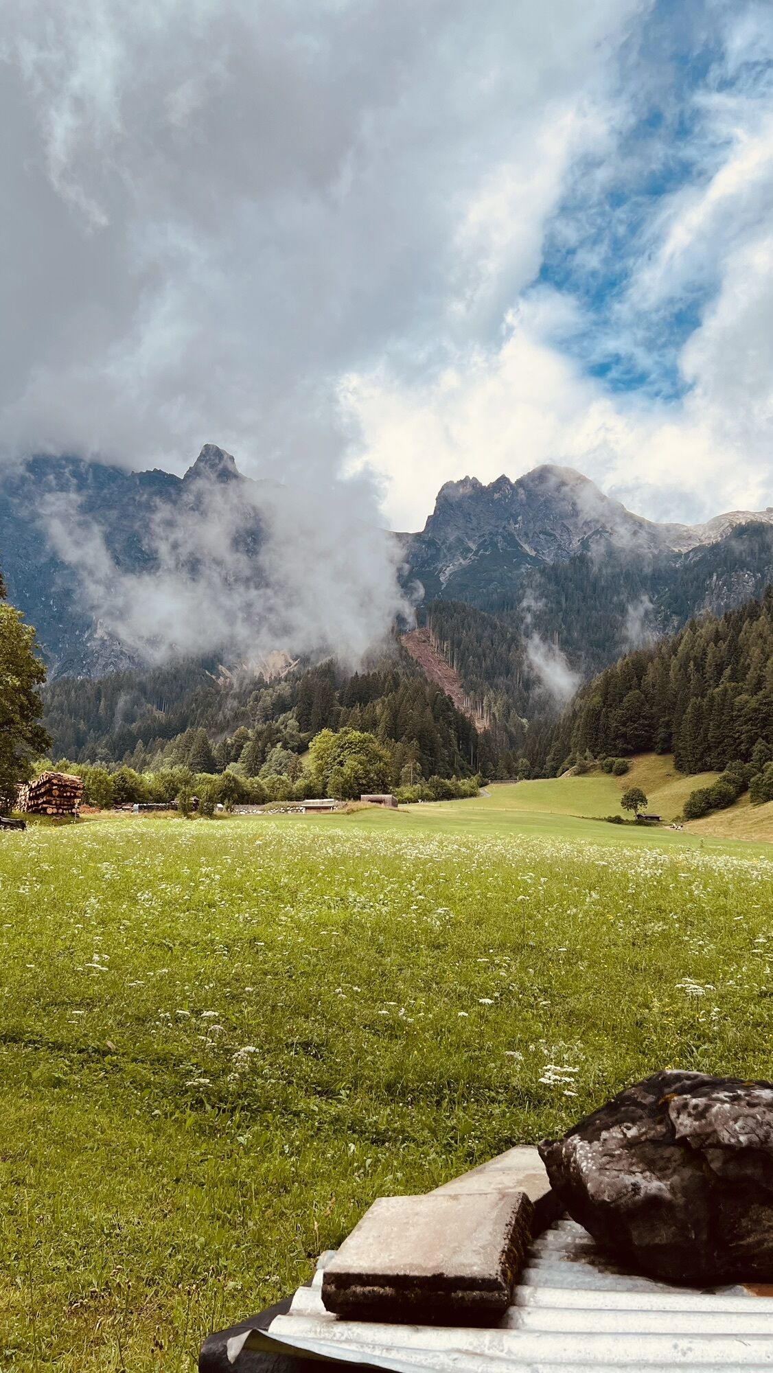
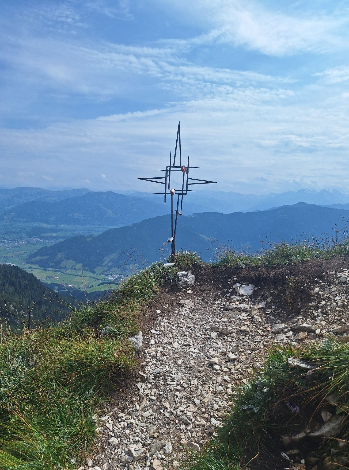
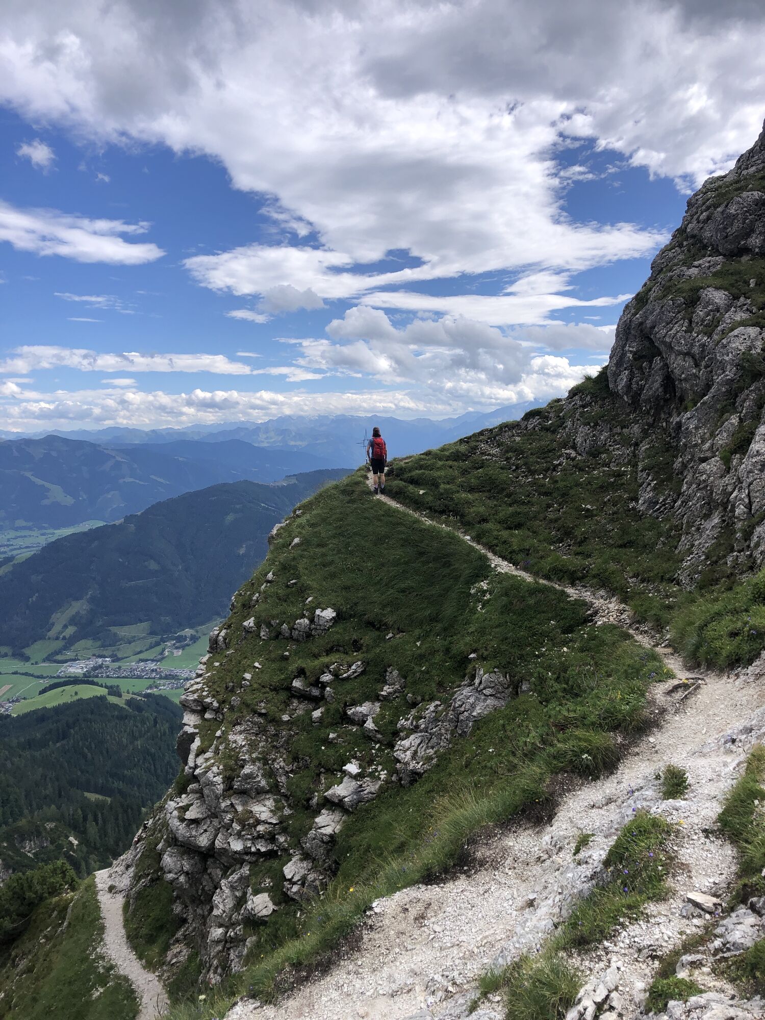
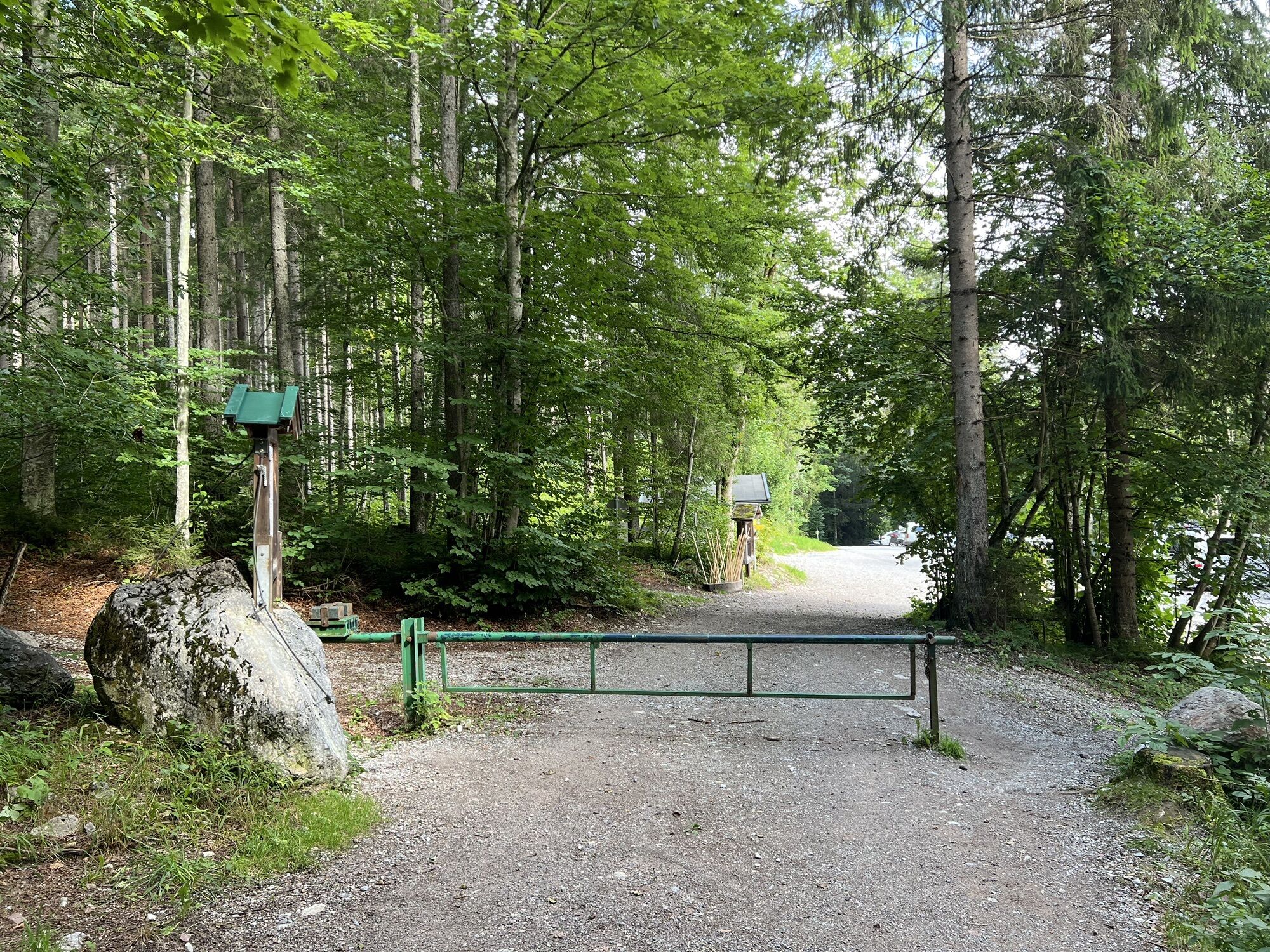
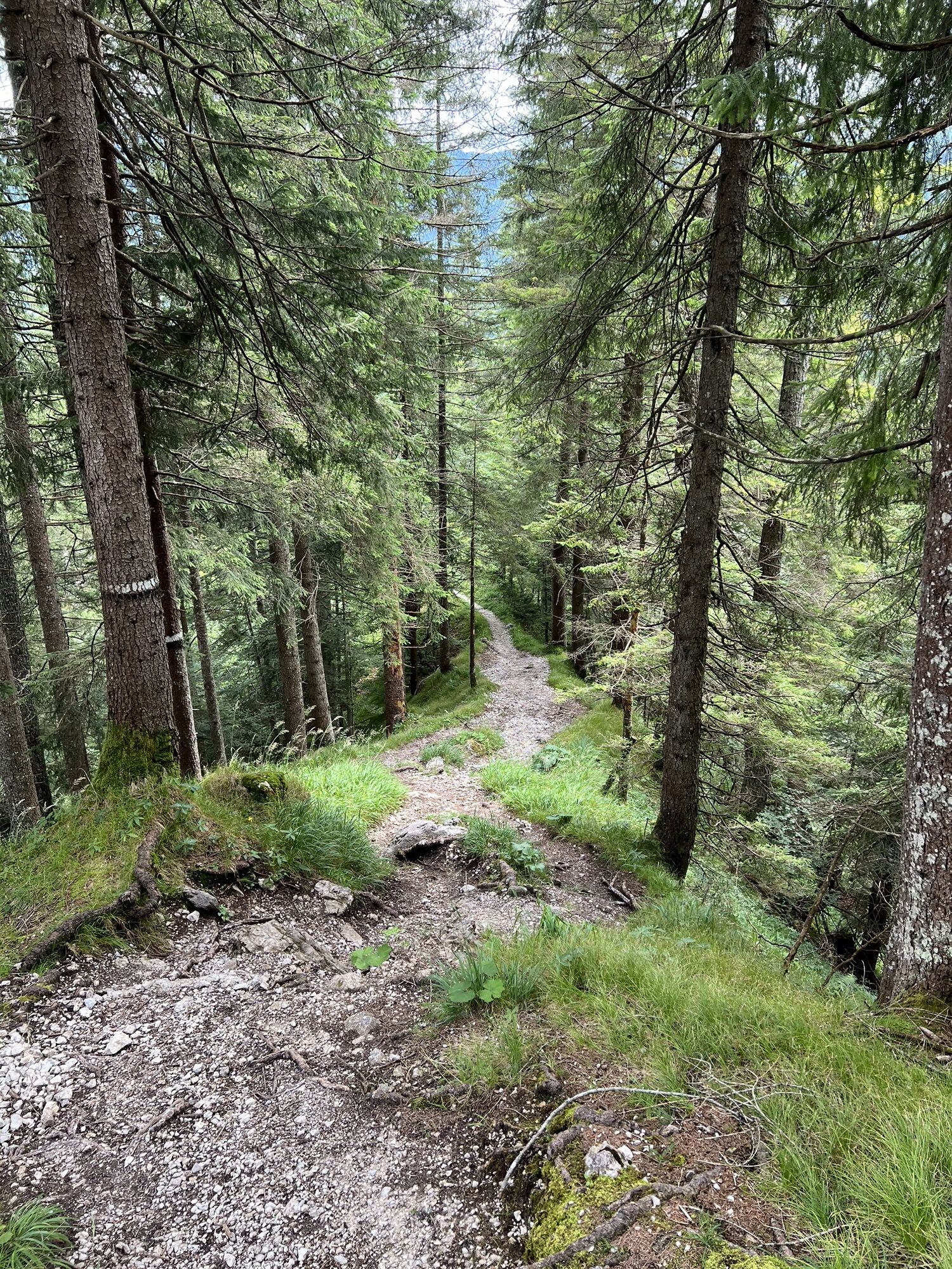
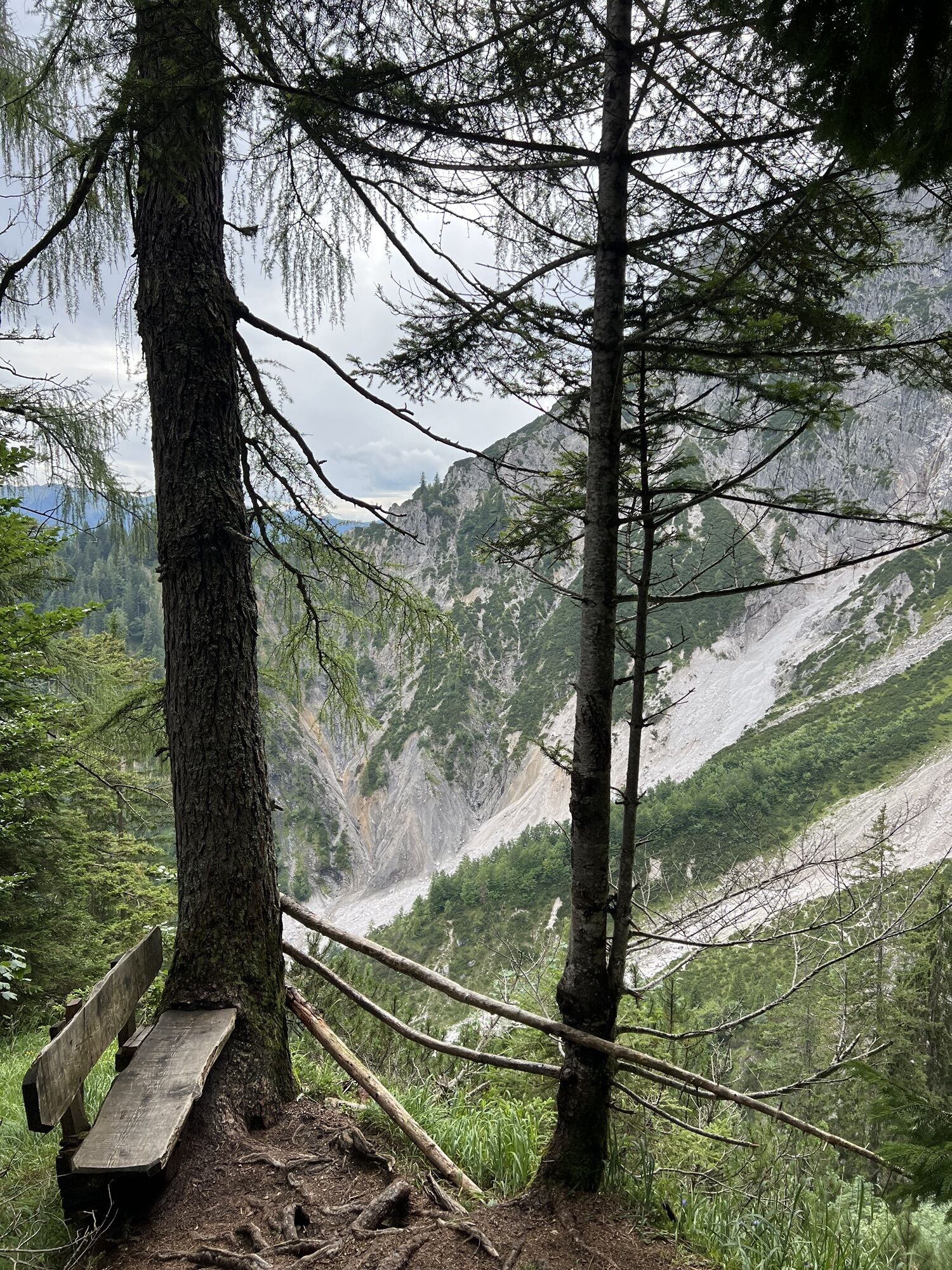
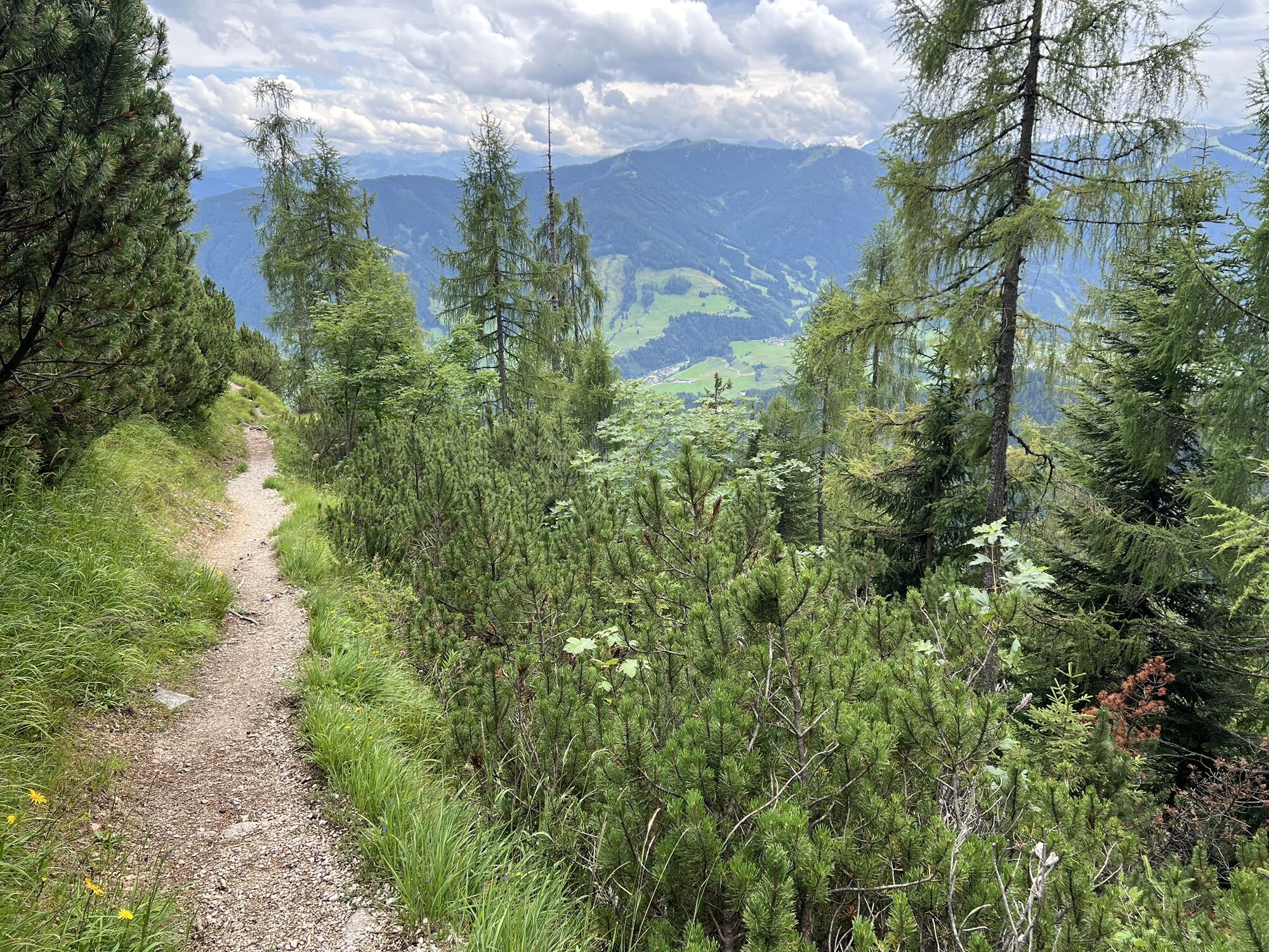
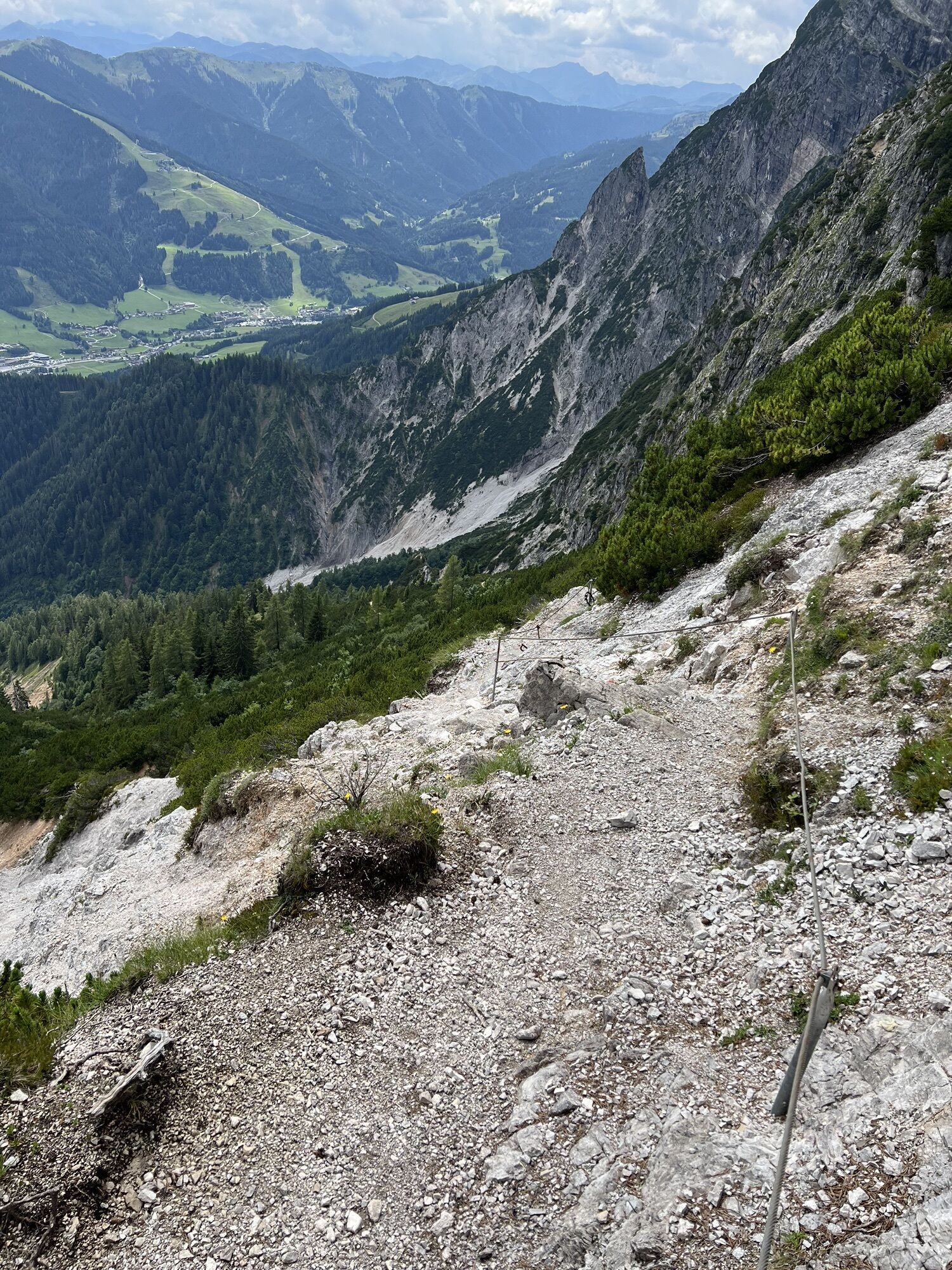
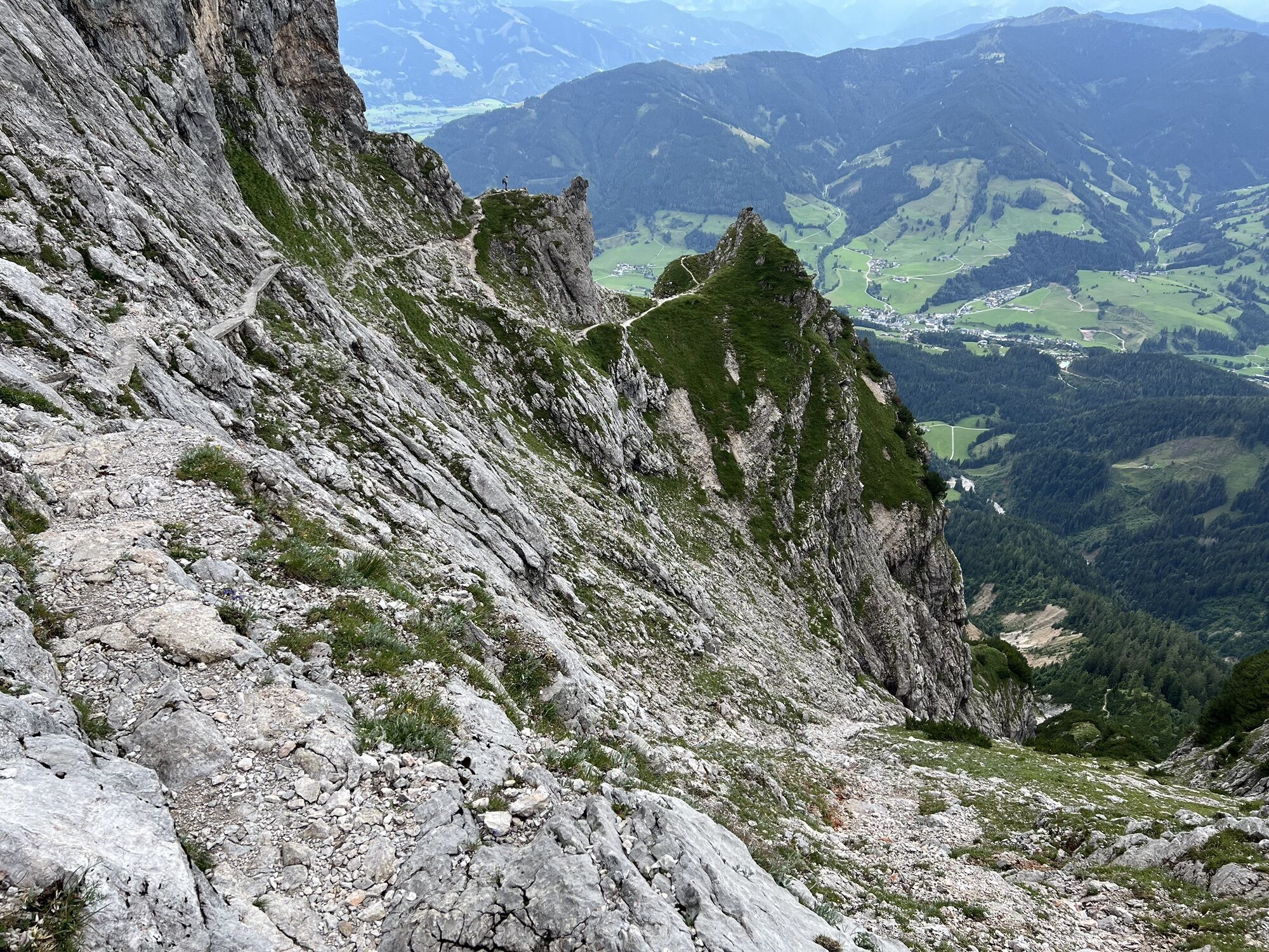
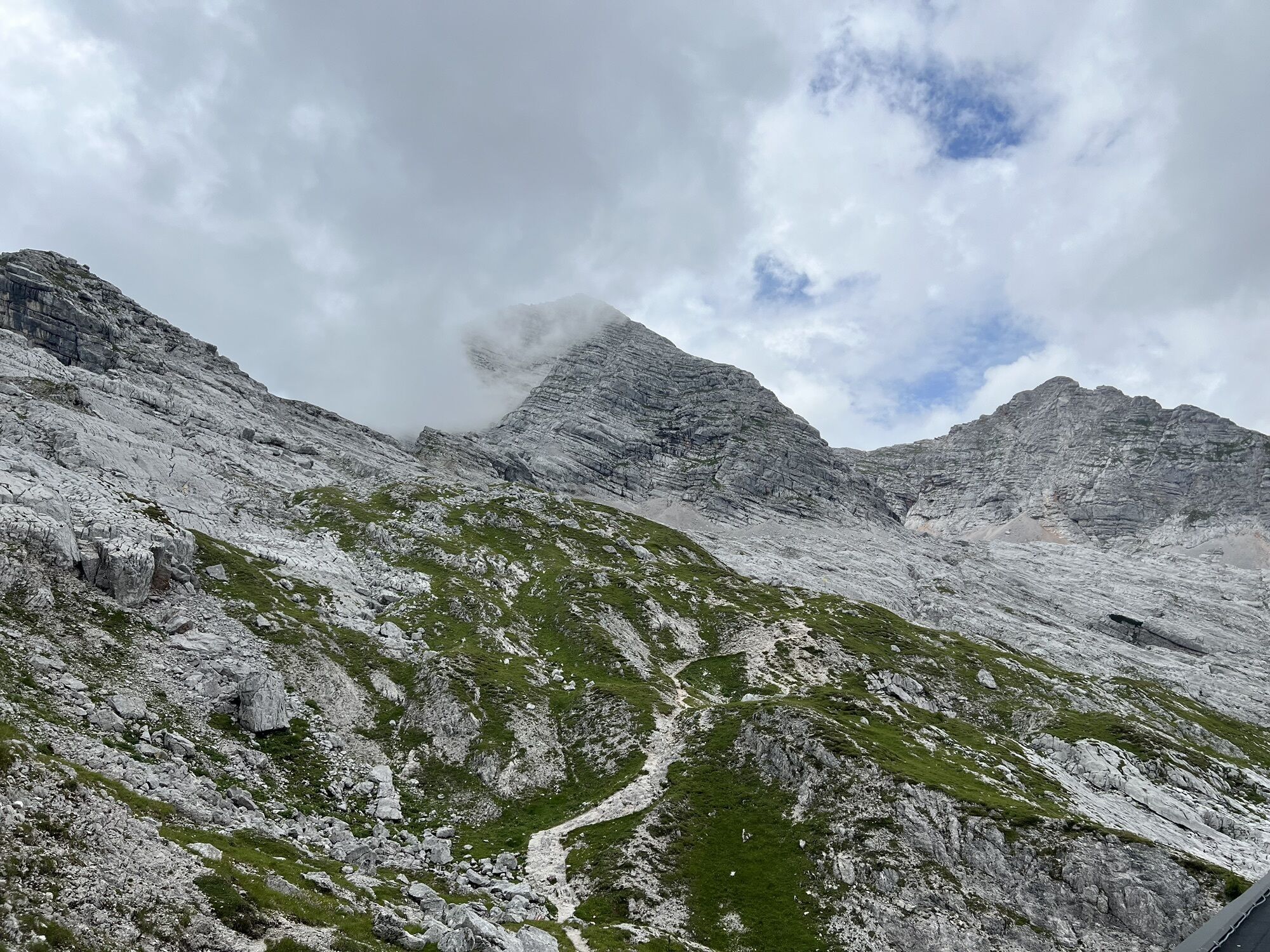
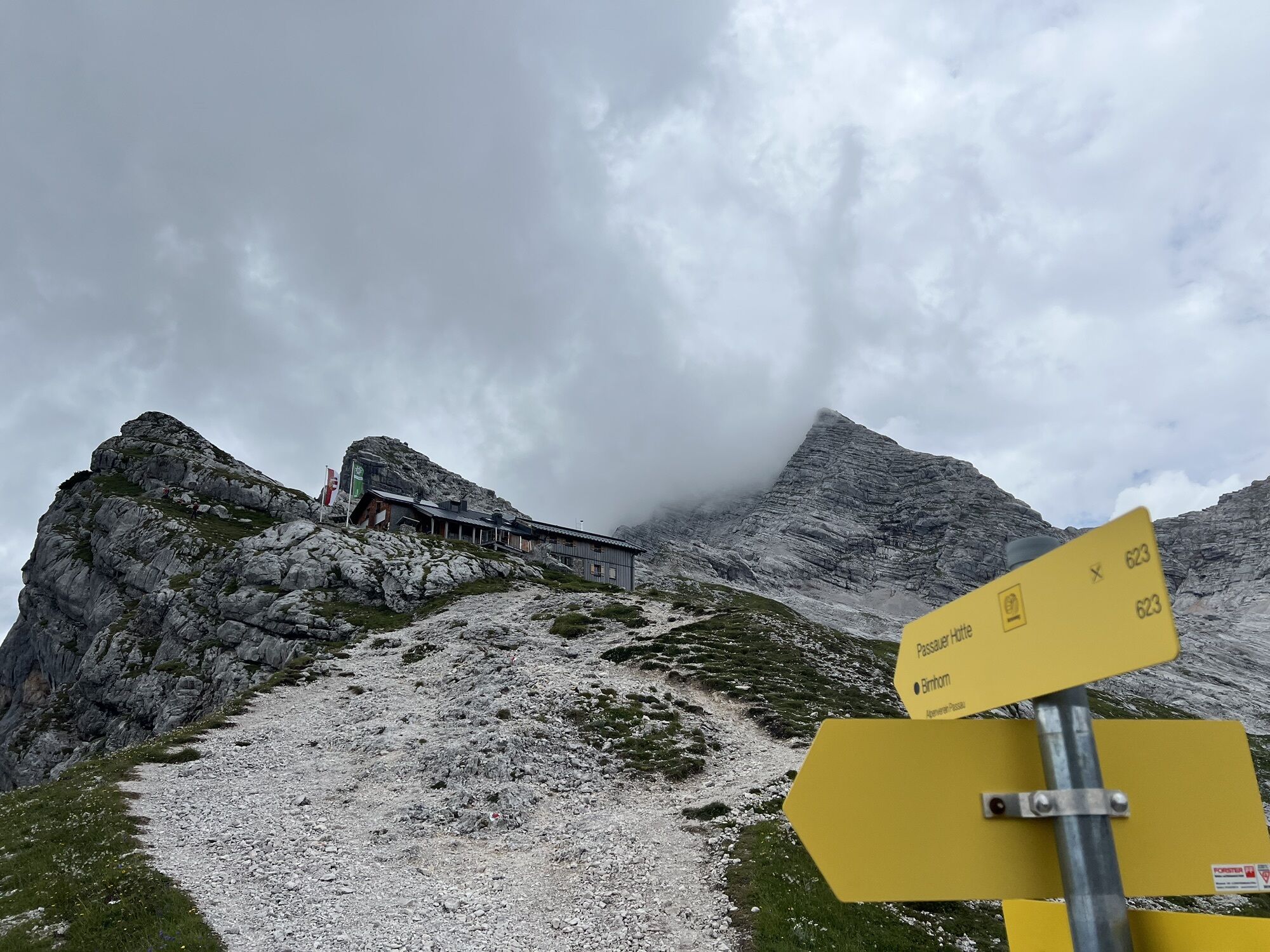
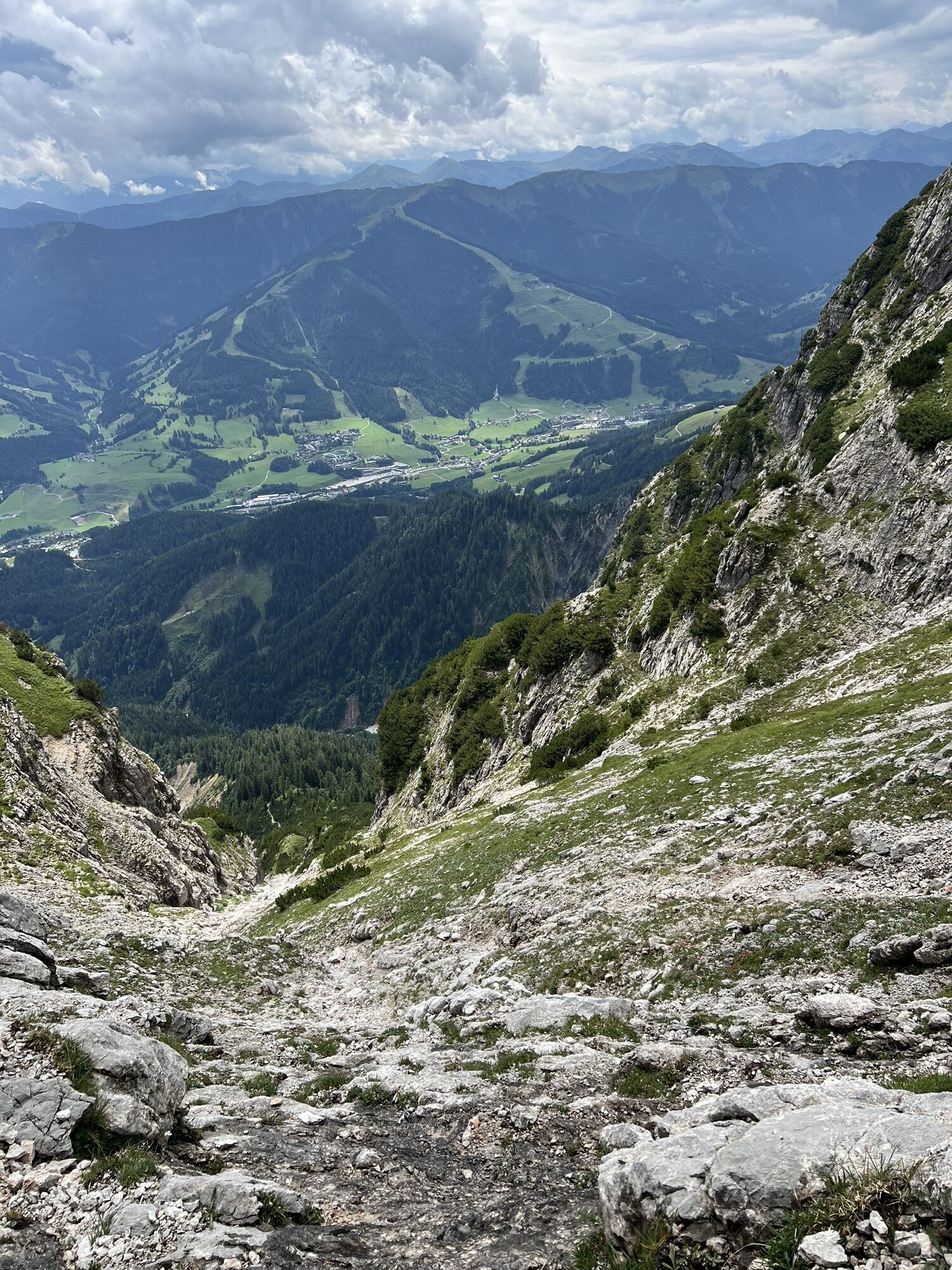
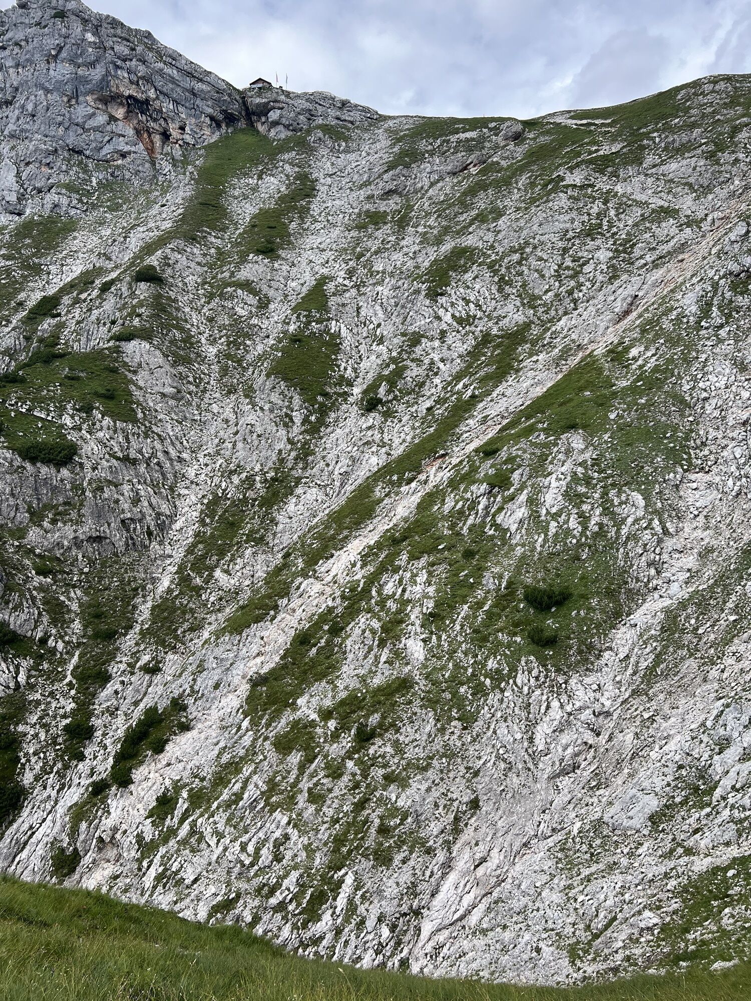
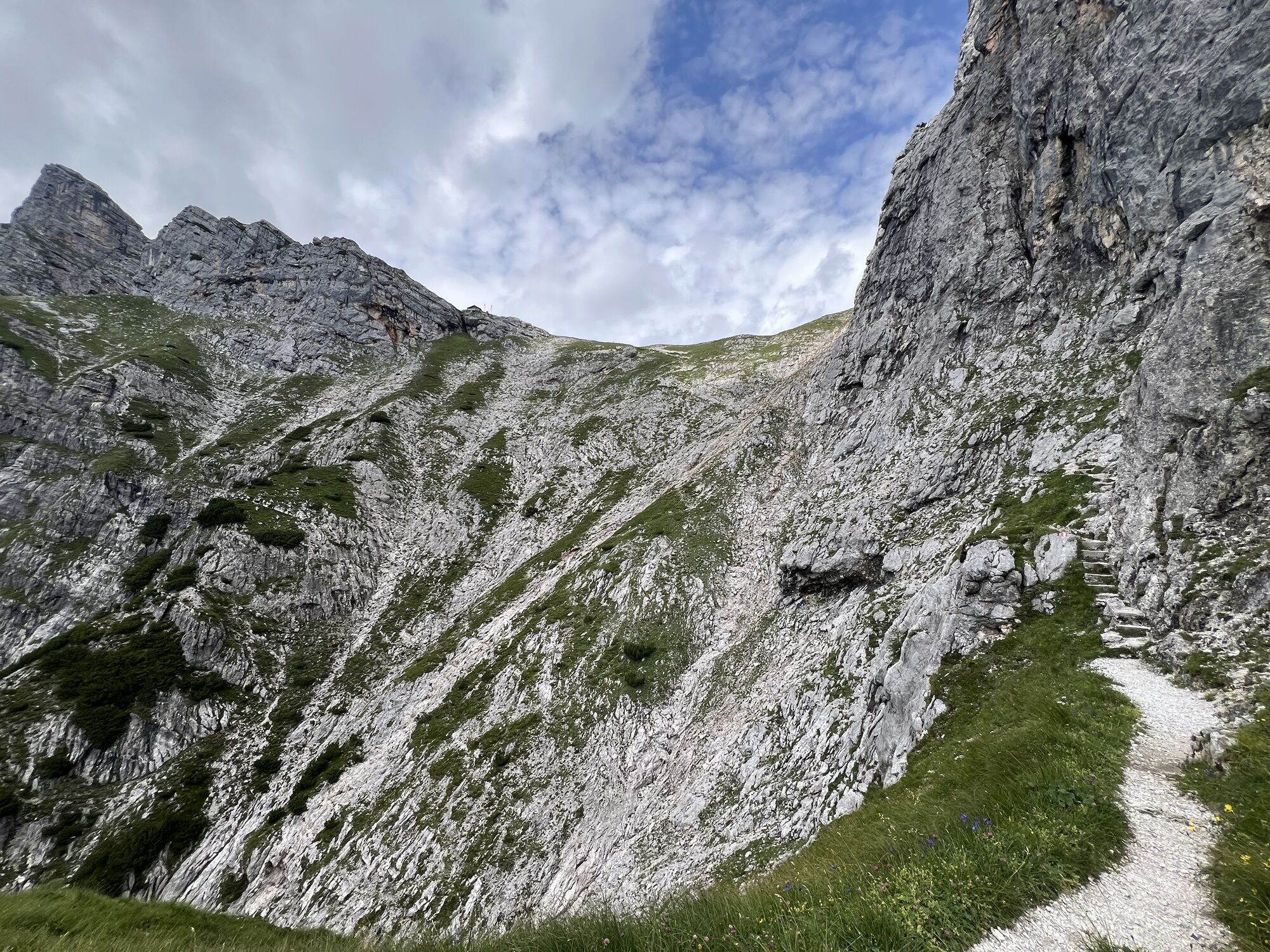
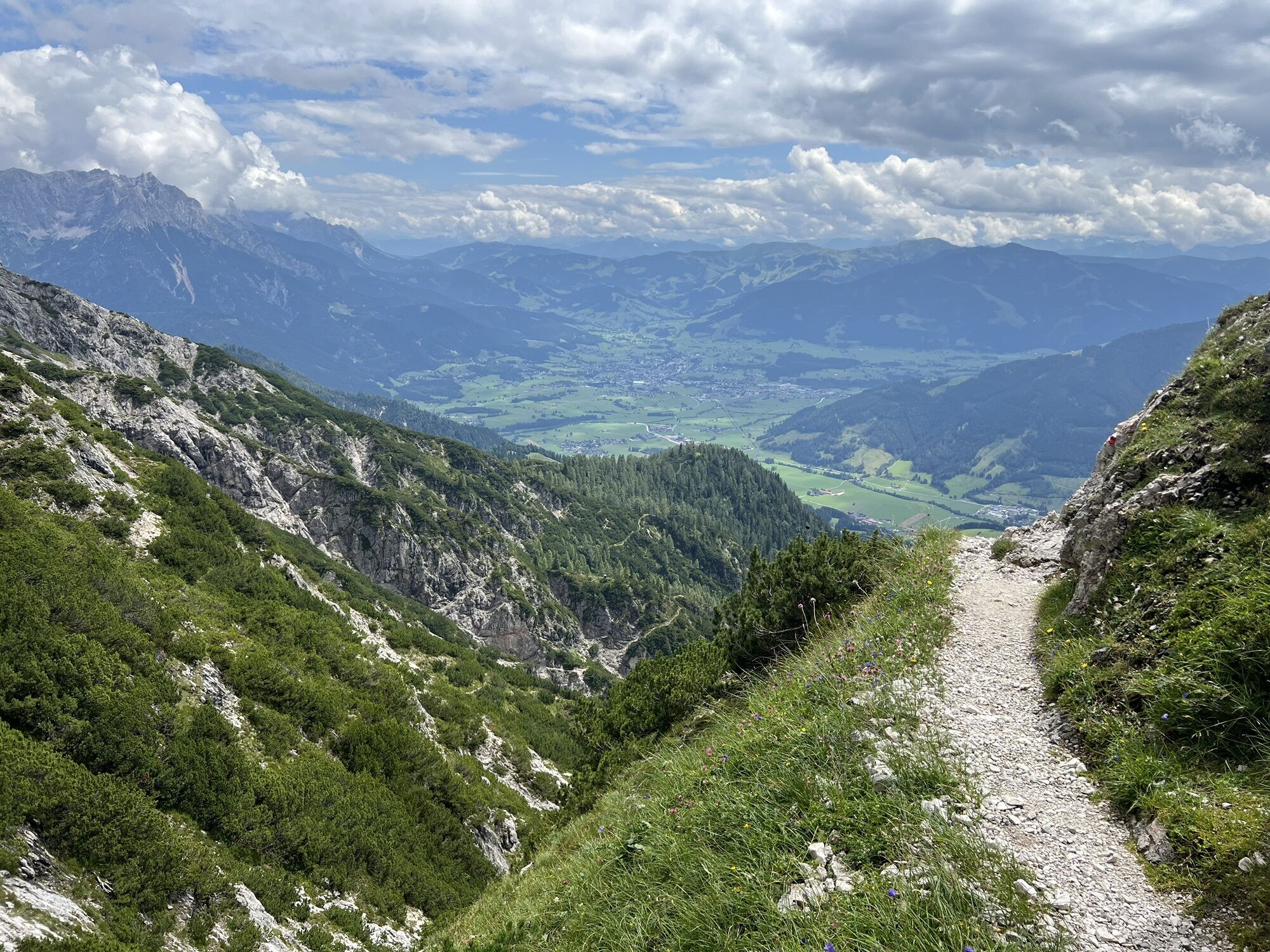
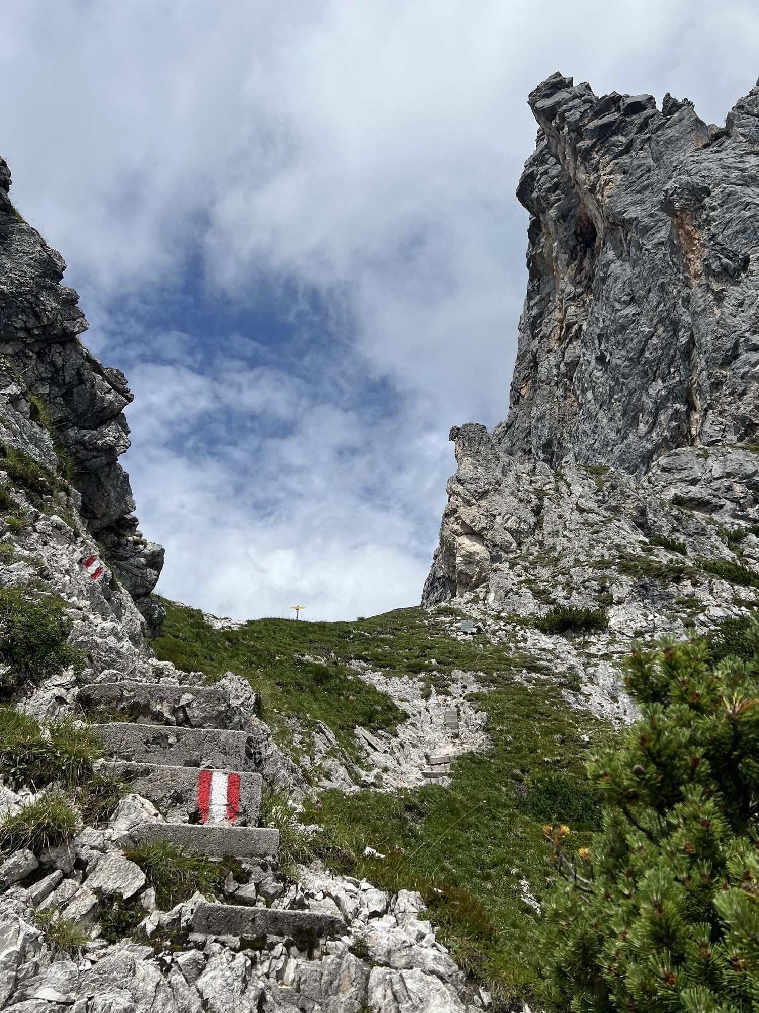
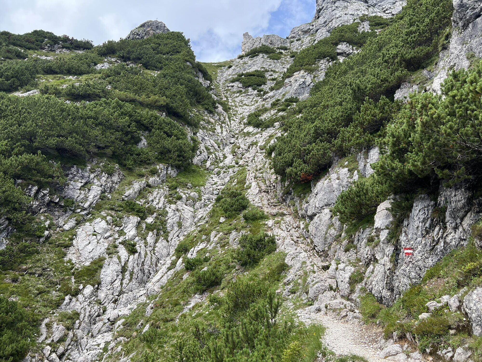
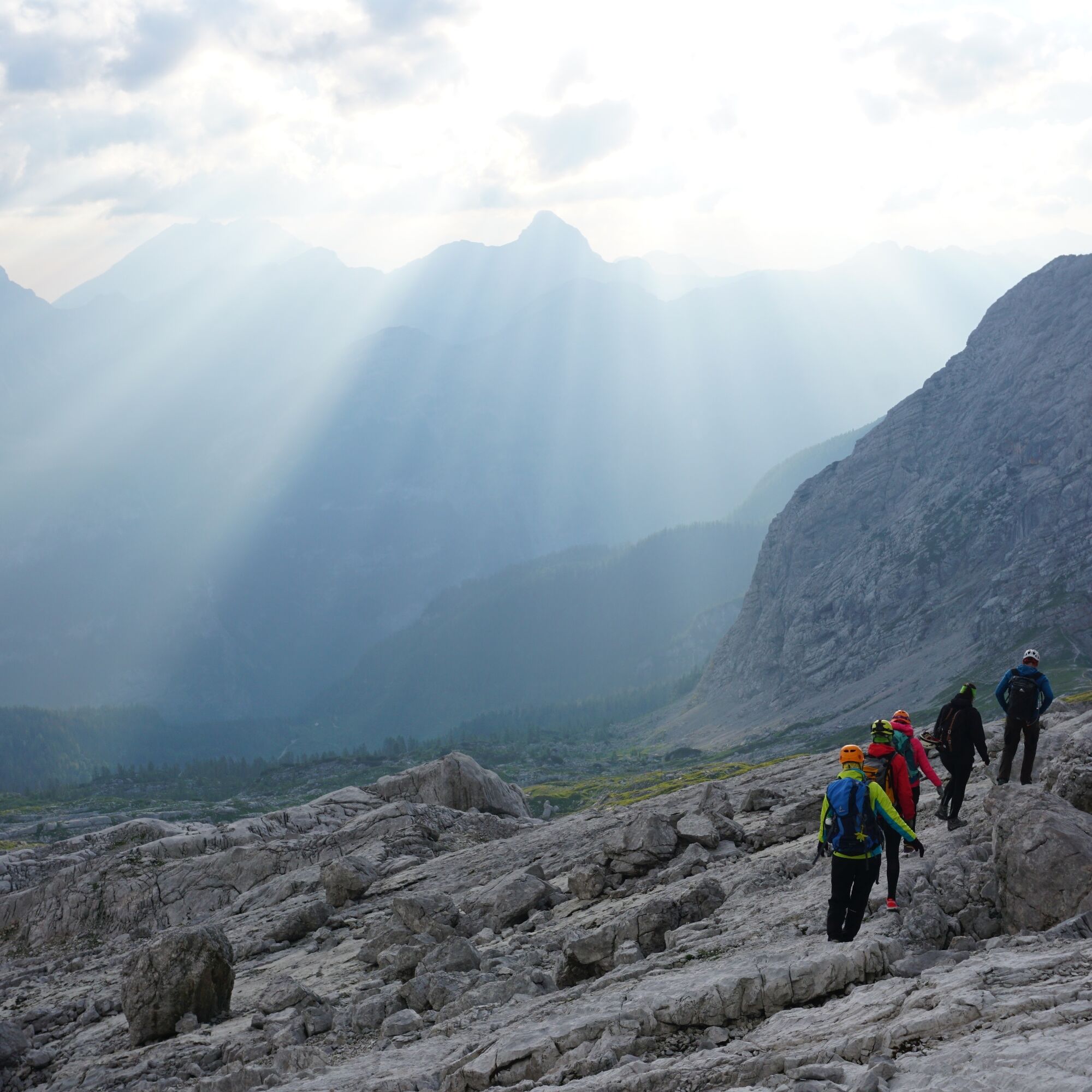
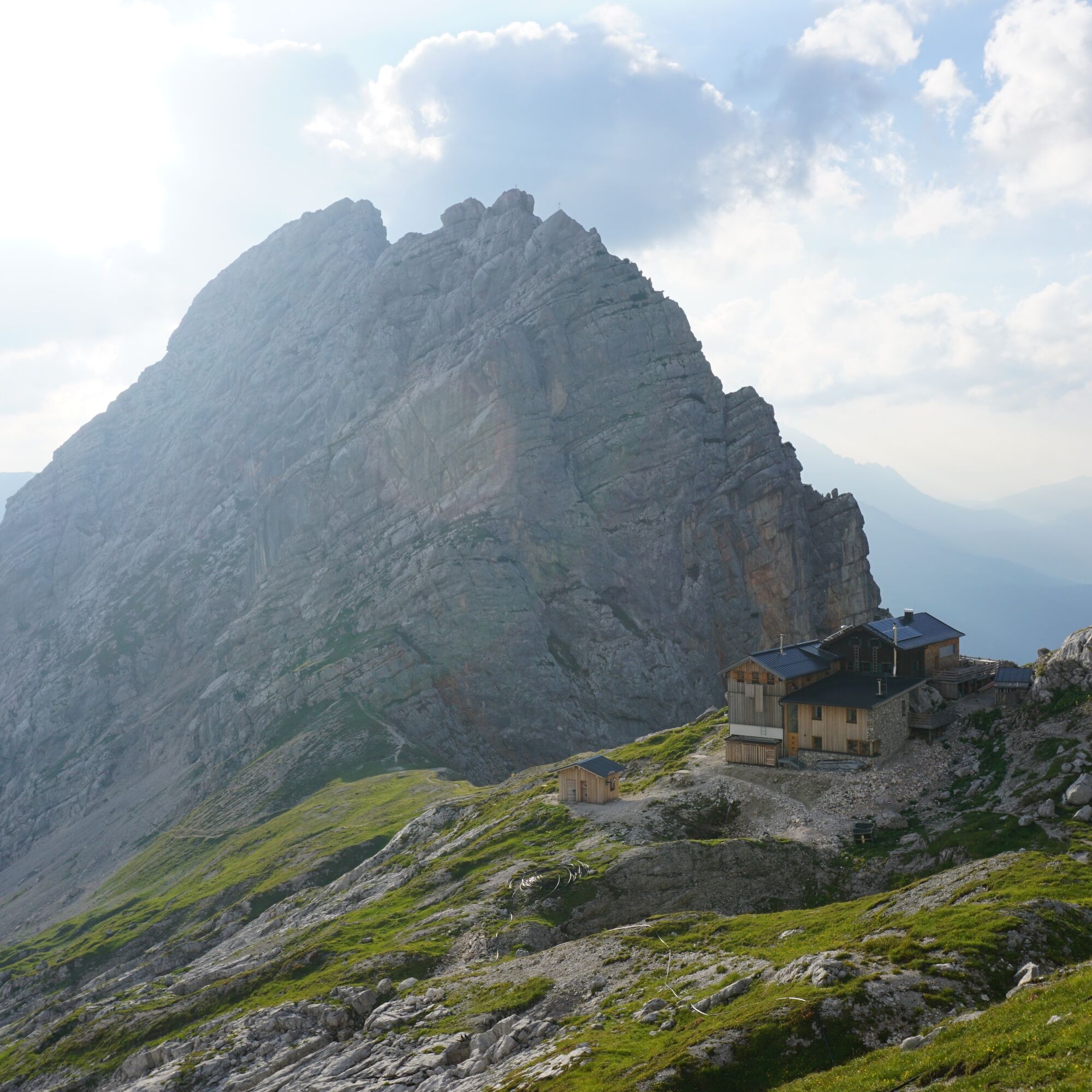
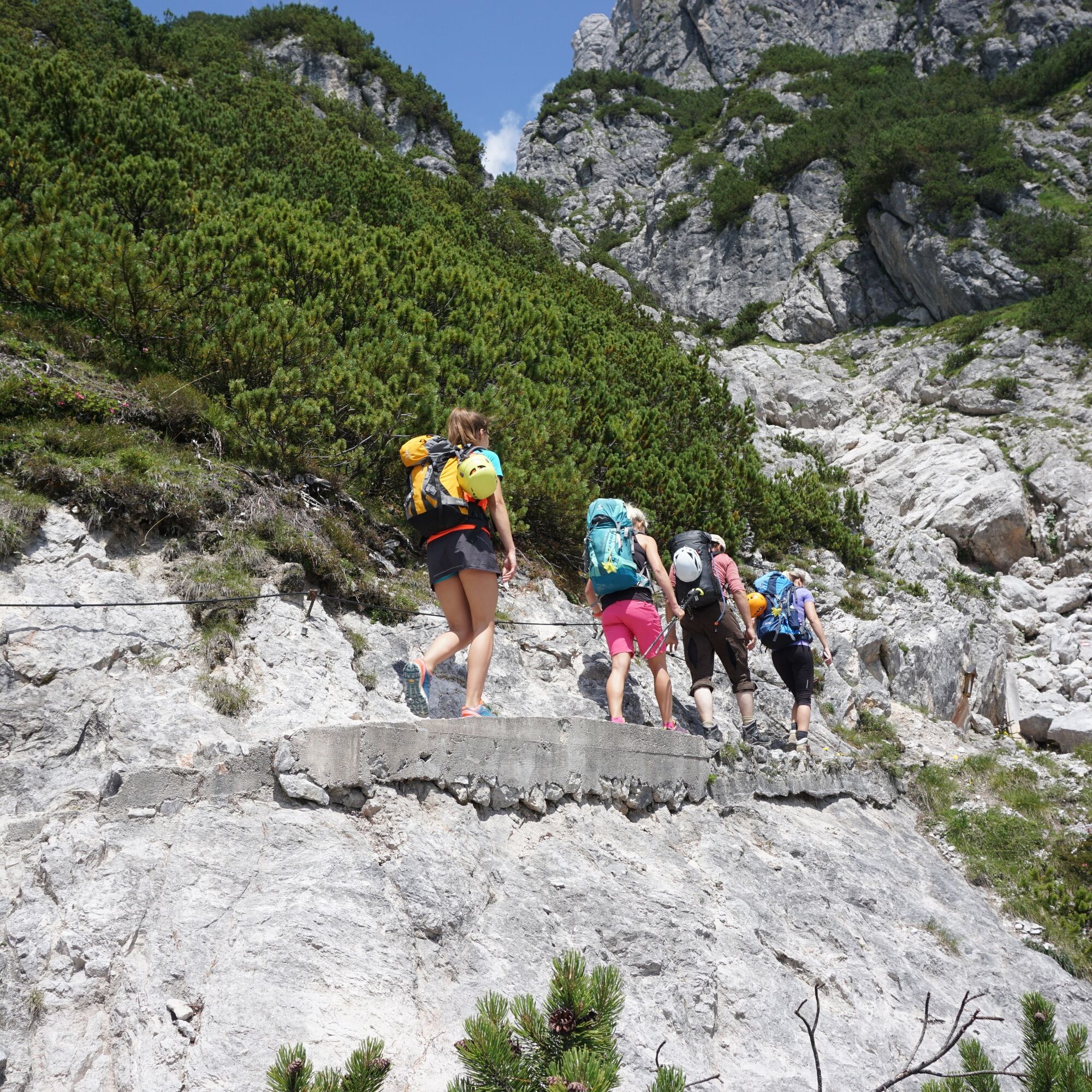
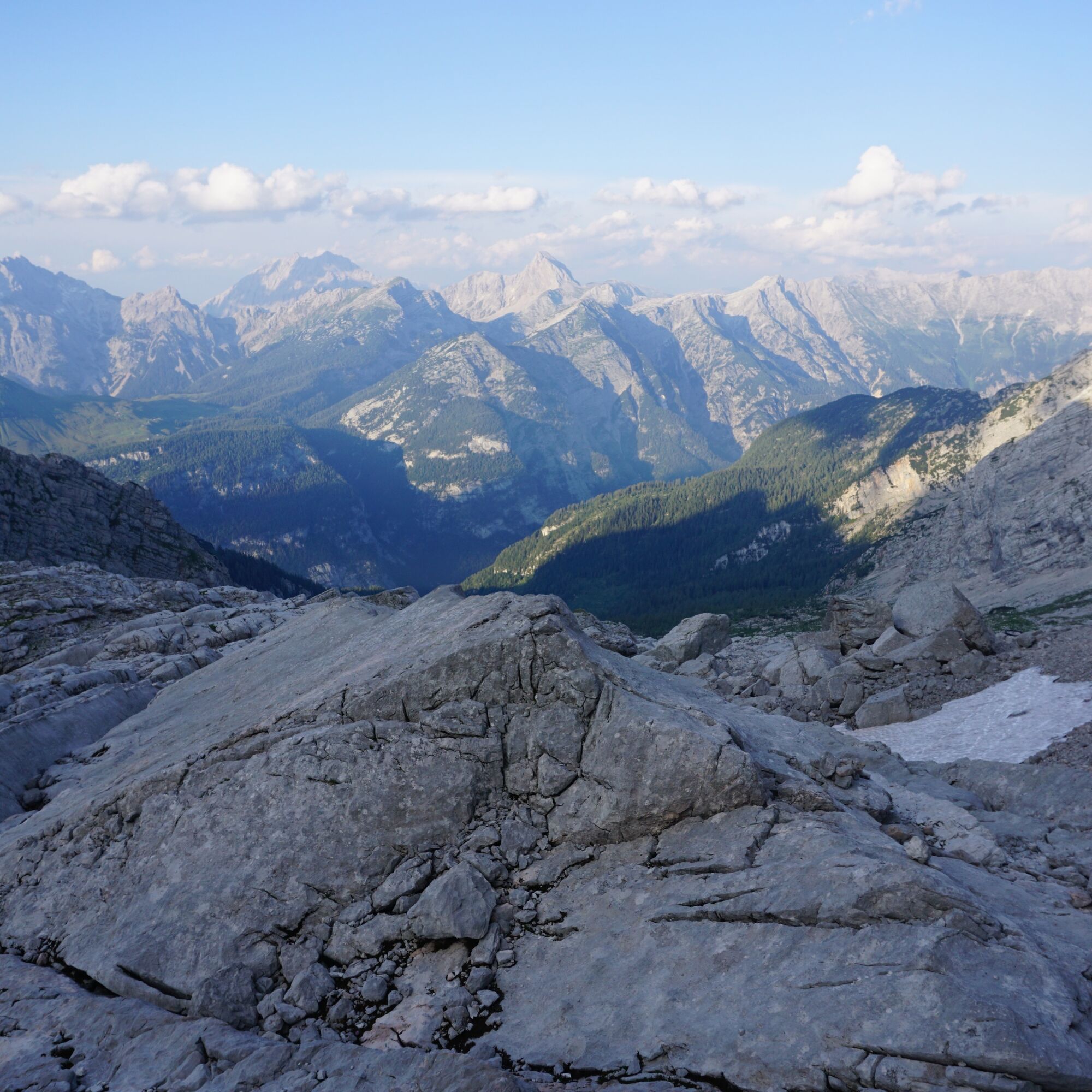
From the starting point at the Asitzbahn, follow the stream gently towards Saalfelden until you turn off at Rosental towards Birnbachloch/Passauer Hut. Here follow the signs for Birnbachloch/Passauer Hut. With a pleasant incline, follow the hiking trails until the turnoff to the Passauer Hut. Now it gets steeper, initially through mountain forest, later through dwarf pines, and at the end over rocky terrain, following a well-marked and partly secured path to the Passauer Hut. Surefootedness is required in some places, but you will be rewarded with magnificent views downward. Once you reach the Passauer Hut, the trail leads back down to the valley. The last section follows a forest road down to the valley floor and then on to Weißbach near Lofer. The descent can be shortened a bit using the hut taxi.


Sturdy, ankle-high footwear, hiking poles, headwear, sun protection, rain protection, water, necessary medication, first aid kit, detailed hiking map
Alpine emergency number: 140
International emergency number: 122
Shorten the descent with ALMwanderTAXI Weißbach
Split the stage into two days with an overnight stay at the Passauer Hut
There is an alternative route F of the PINZGA HATSCHA
Získajte prehľad
Vždy naživo na mieste s viac ako 9 500 webovými kamerami. bergfex Ako používateľ Pro si teraz môžete pozrieť príslušné webové kamery pre mnohé zájazdy v aplikácii zájazdy z. Môžete si tak priamo prezerať aktuálne podmienky.
Obľúbené výlety v okolí
-
4,4
Maria Alm - Riemannhaus
Turistika 3,99 km -
4,8
Königssee - Kärlinger-Haus
Turistika 10,1 km -
4,6
Steinalm
svetloTuristika 2,71 km -
4,6
Seisenberg Gorge
svetloTuristika 2,41 km -
4,5
Peter-Wiechenthaler Hut
strednáTuristika 4,32 km -
5,0
Goldtoni - Wandern - Watzmann - Überschreitung
ťažkéVysoké turné 25,3 km -
4,9
Watzmann Überschreitung an einem Tag
ťažkéTuristika 23,9 km -
4,9
Breithorn
strednáTuristika 10,0 km -
4,3
Persailhorn South via ferrata
strednáVia ferrata 6,83 km -
4,8
Loferer Steinberge, zum Hinterhorn über die Schmid-Zabierow Hütte, 19.06.22
ťažkéTuristika 14,0 km
Turistika a stopovanie


Nenechajte si ujsť ponuky a inšpiráciu na ďalšiu dovolenku
Vaša e-mailová adresa bol pridaný do poštového zoznamu.





