







Scenic summit route to the Hundshorn
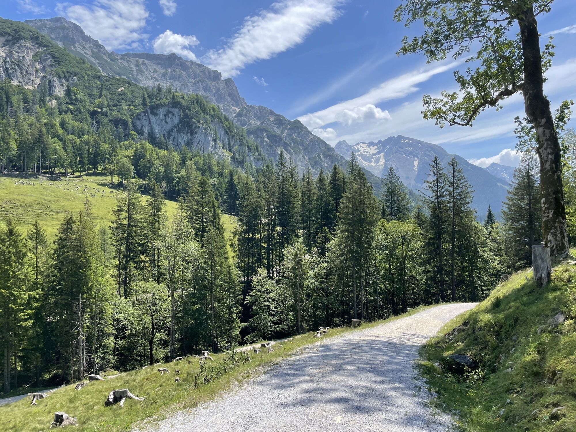
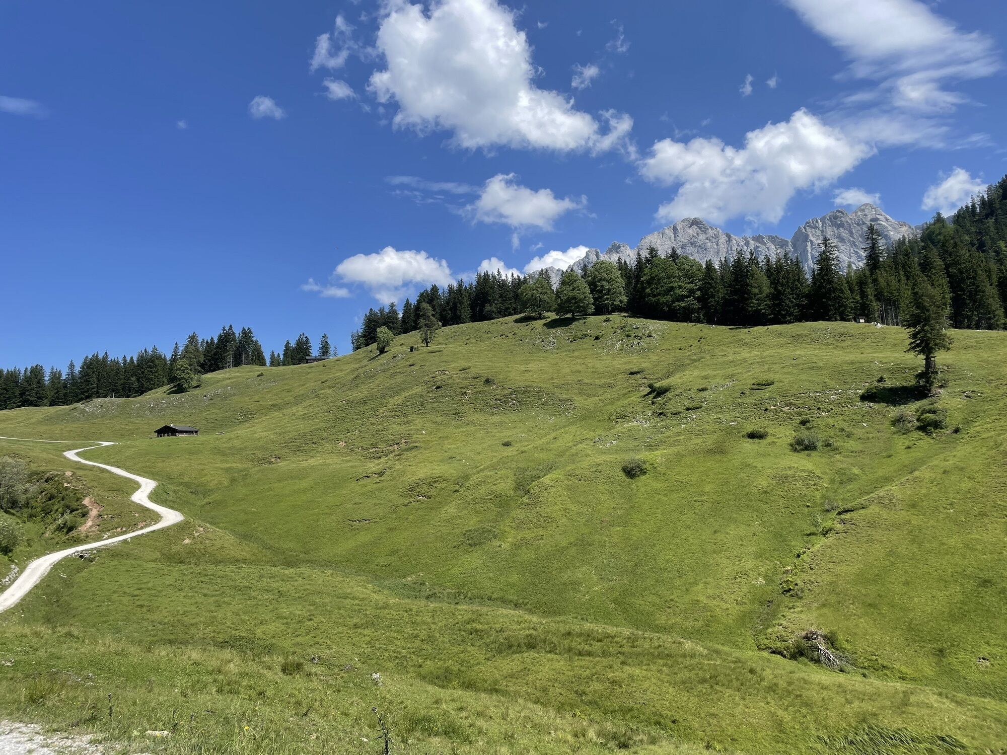
Fitness: Strength for about 2.5 hours uphill with 700 meters altitude difference. Total walking time about 4.5 hours
In brief: The route follows a forest road in the first section up to the Hundalm. From...
Fitness: Strength for about 2.5 hours uphill with 700 meters altitude difference. Total walking time about 4.5 hours
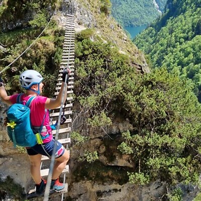
In brief: The route follows a forest road in the first section up to the Hundalm. From the Hundalm via the Hundsattel, a hiking path leads to the summit. In the last section, the path is somewhat exposed and small as well as big hikers should be sure-footed and free from dizziness here.
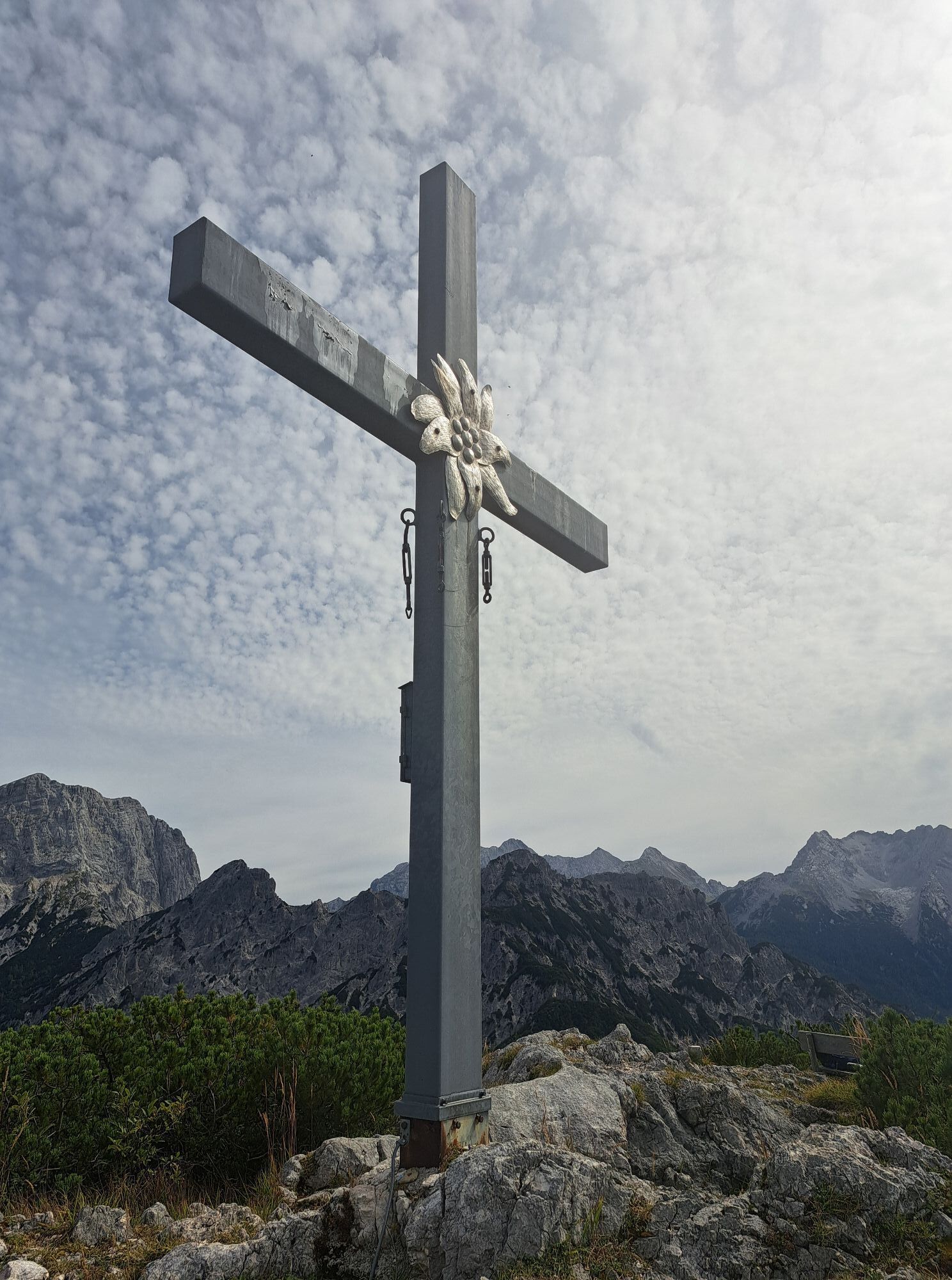
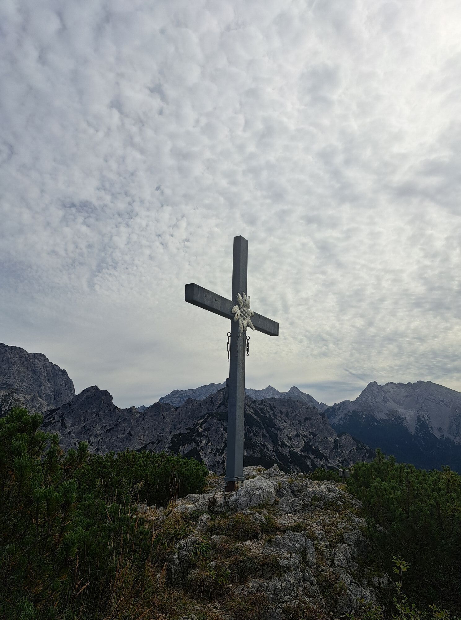
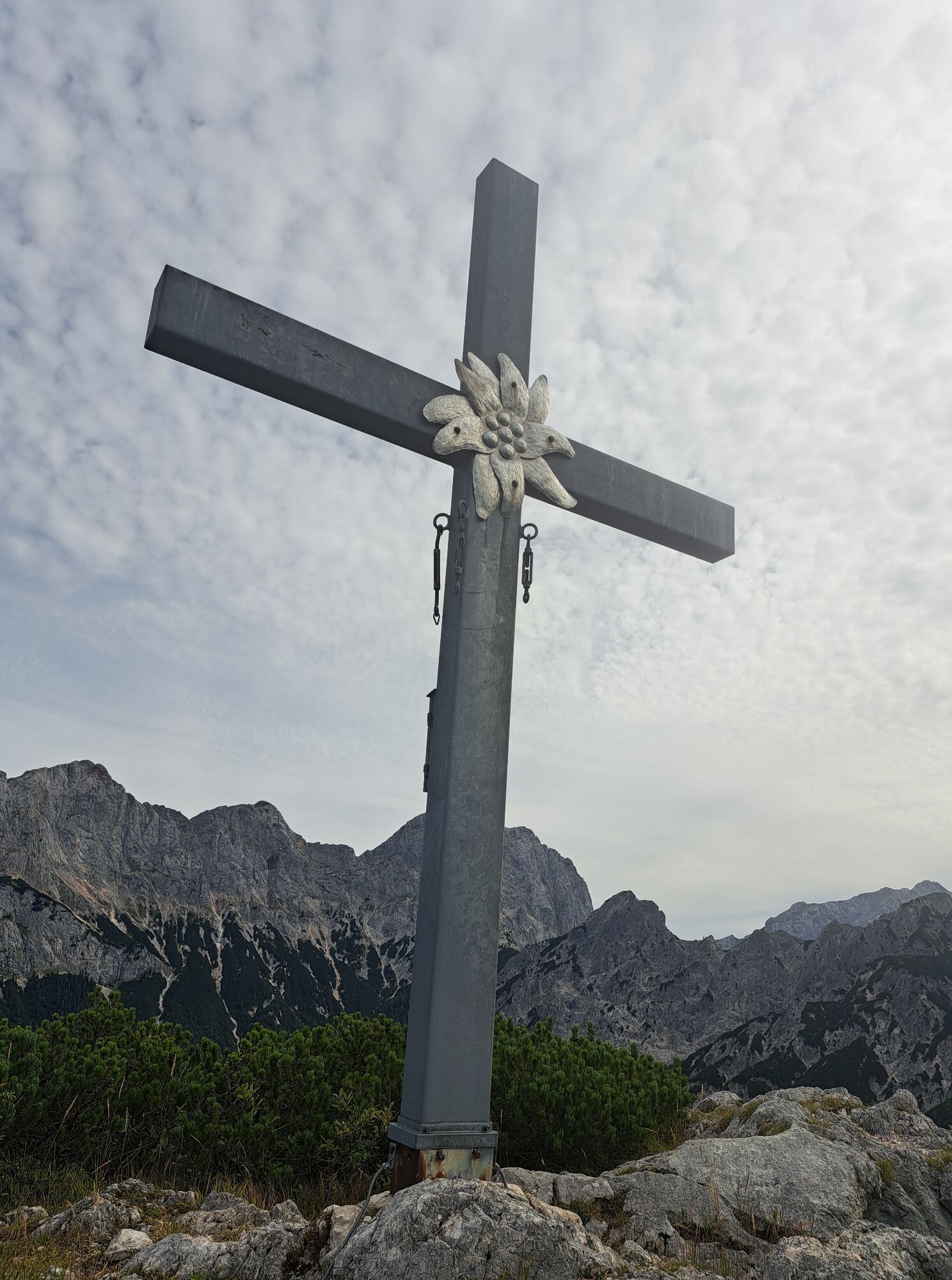
Tour Highlights: The Hundalm with its cows and alpine huts as well as, of course, the summit experience at the Hundshorn. Don't forget the summit photo and entry in the summit book ;)
This route belongs to the hiking with kids in the Salzburger Saalach valley. Duration and difficulty level are designed for children/families.

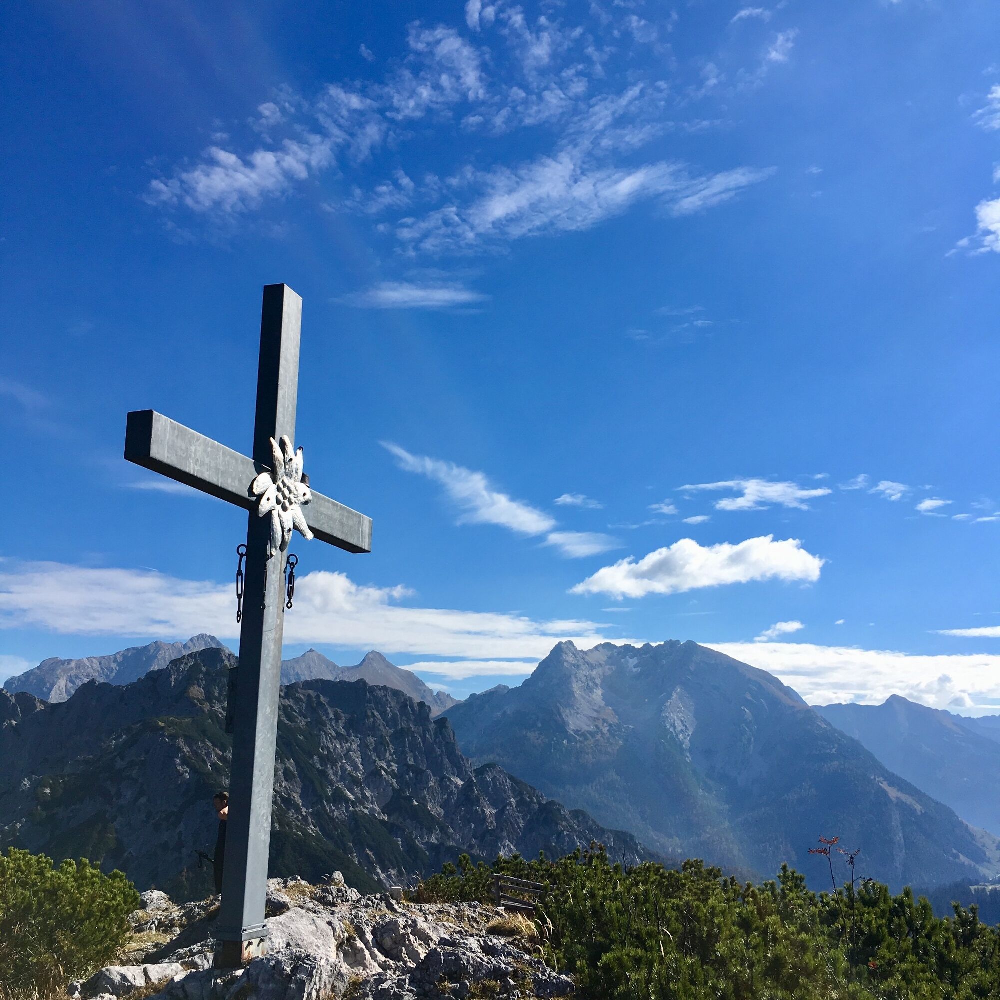
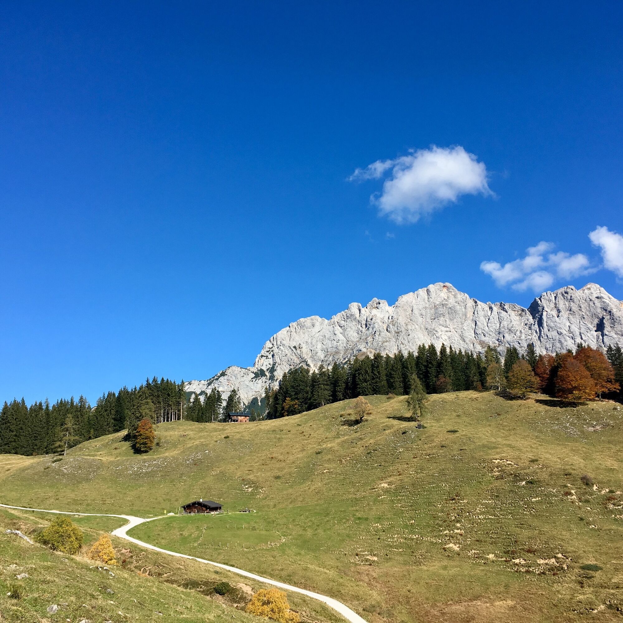
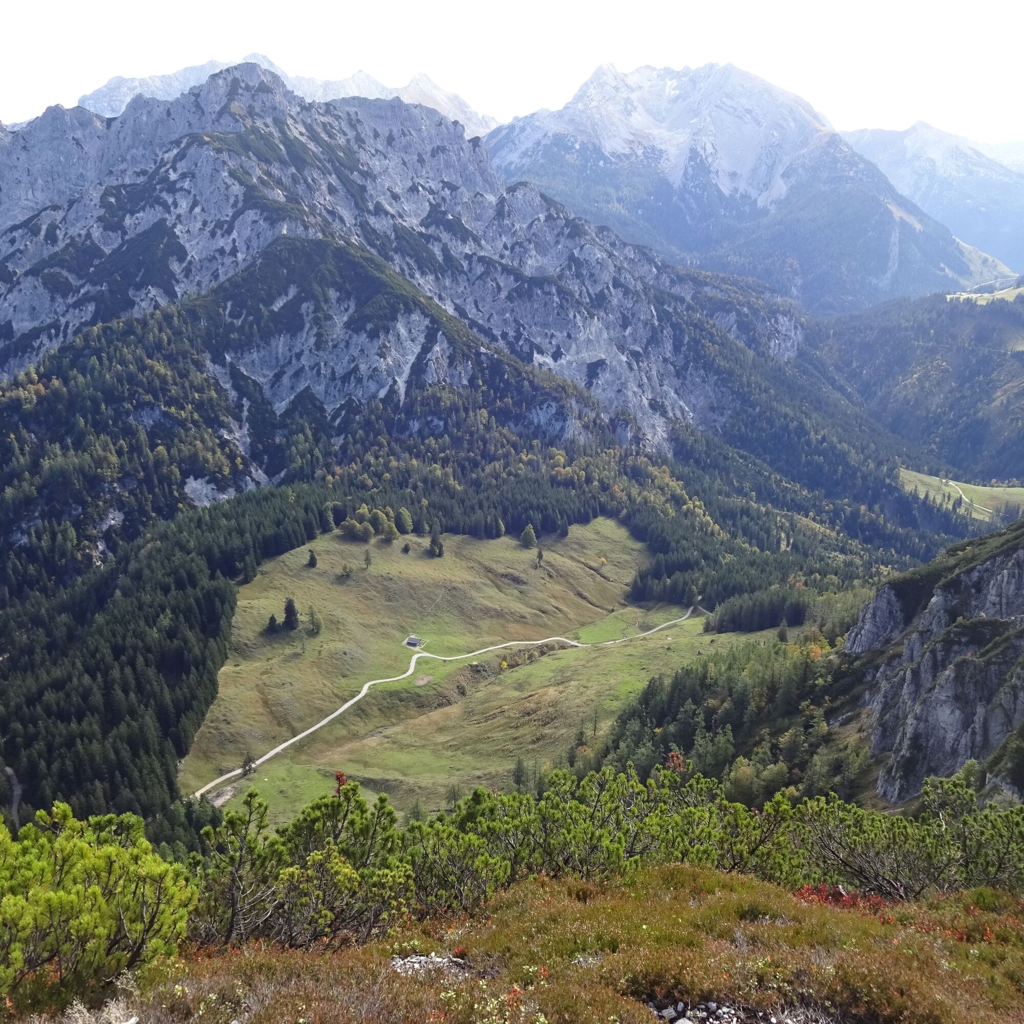
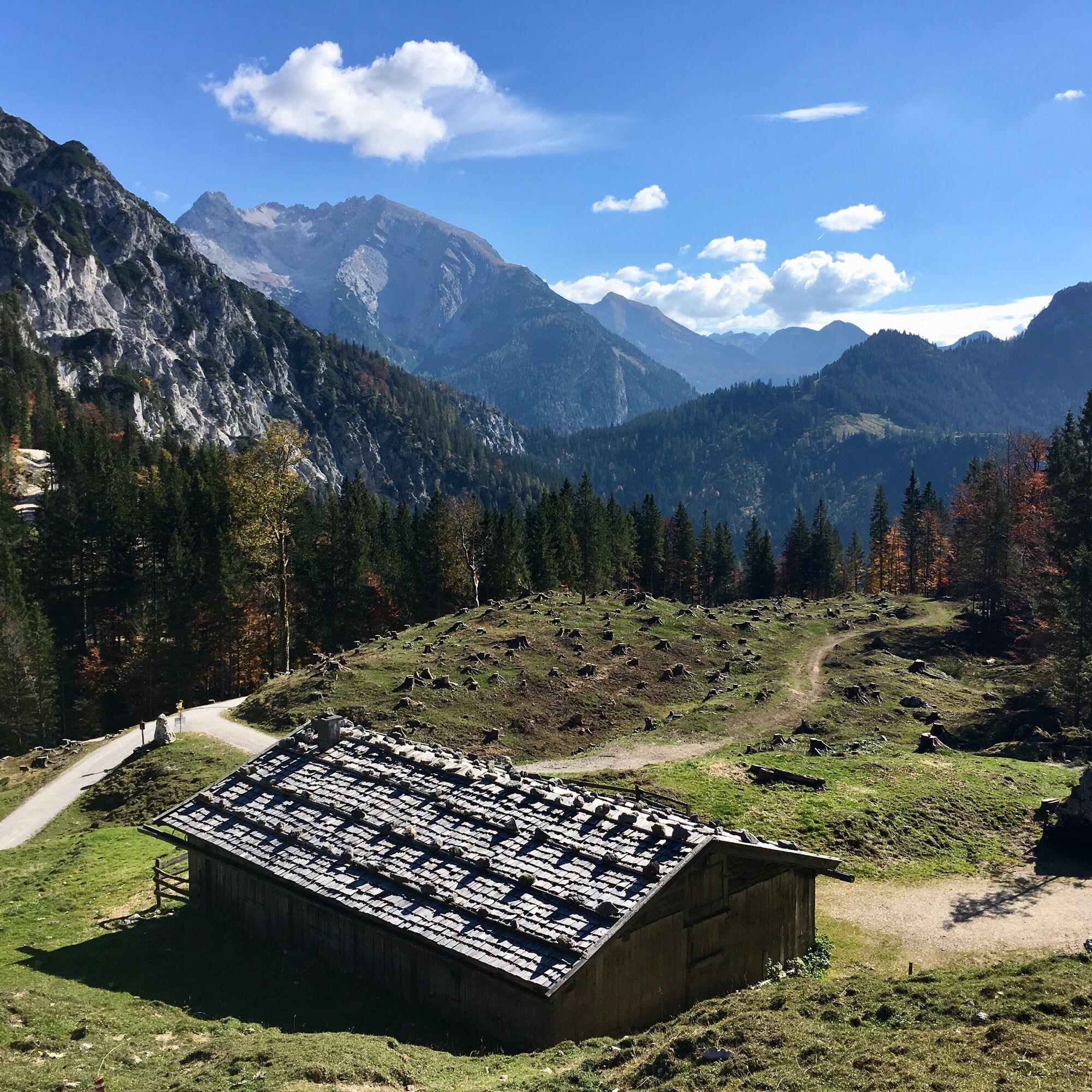
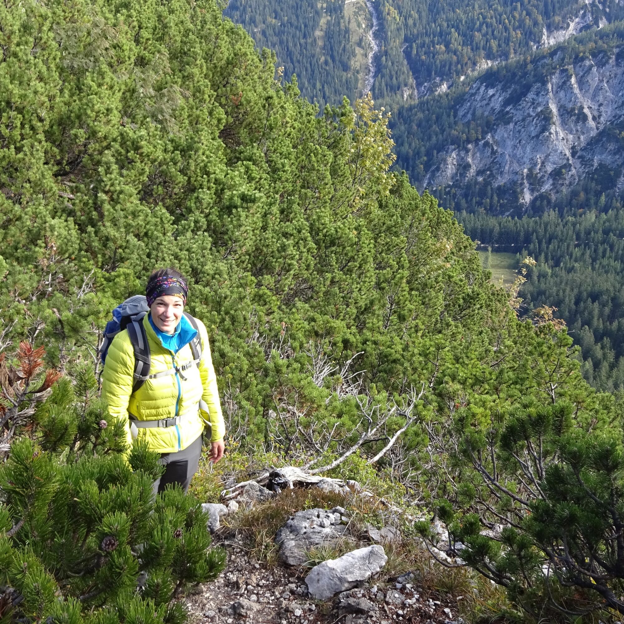
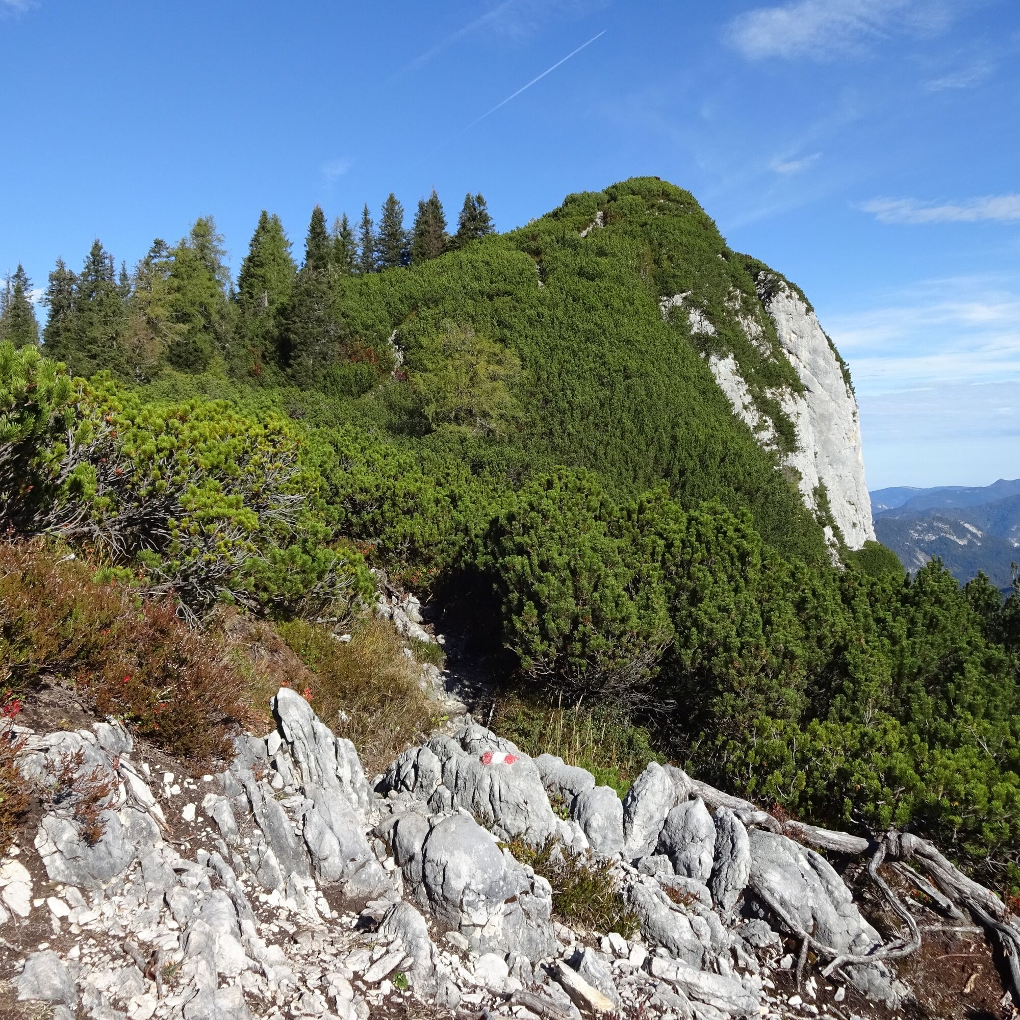

Follow the forest road to the left past the Pechtlbauer (path no. 23) to the Hundalm. As soon as you reach the alp, keep left and continue via path no. 24 to the Hundsattel. At the Hundsattel, take the right path (no. 24A) to the Hundshorn. Return by the same route.
If you don't park the car at the Pechtlbauer, descent via the Scheffsnother Alm and Strohwollner Gorge (path no. 24) to St. Martin is also possible (duration 1.5 - 2 hours).
Áno
Áno
Áno
Besides a water bottle, we recommend sturdy footwear, warm clothing and rain protection, mobile phone, sunglasses and sun protection (e.g. a cap) as well as a small snack.
Via the B311 to St. Martin near Lofer. At the end of the village, turn left over the Wildental bridge and then cross the street towards Wildental to the St. Martin Hirschbichl.
Drive straight on at the Wildental guesthouse, keep left at the next fork and then left again to Pechtlbauer.
Travel by public transport is only possible with line bus 260 up to the St. Martin - Luftenstein stop (timetable).
From here, a taxi or the ascent on foot/by bike to the Pechtlbauer is necessary.
No official parking available at Pechtlbauer. Parking is tolerated if there is enough space and the car is parked so that the street and driveways remain clear.
Bring your own snacks and drinks, no place to eat. The meadows just before the summit invite you to rest and linger.

 Získajte prehľad
Vždy naživo na mieste s viac ako 9 500 webovými kamerami. bergfex Ako používateľ Pro si teraz môžete pozrieť príslušné webové kamery pre mnohé zájazdy v aplikácii zájazdy z. Môžete si tak priamo prezerať aktuálne podmienky.
Získajte prehľad
Vždy naživo na mieste s viac ako 9 500 webovými kamerami. bergfex Ako používateľ Pro si teraz môžete pozrieť príslušné webové kamery pre mnohé zájazdy v aplikácii zájazdy z. Môžete si tak priamo prezerať aktuálne podmienky.
Obľúbené výlety v okolí
-
4,5
Wimbachgrieshütte
Turistika 8,30 km -
4,3
Halsalm
Turistika 6,43 km -
5,0
Watzmann Überschreitung an einem Tag
ťažkéTuristika 23,9 km -
4,9
Ramsau/Hintersee-Runde
svetloTuristika 9,44 km -
4,8
von Schönau am Königssee zum Watzmannhaus und zurück
strednáTuristika 17,1 km -
3,9
Soleleitungsweg
Turistika 10,5 km -
5,0
Goldtoni - Wandern - Watzmann - Überschreitung
ťažkéVysoké turné 25,3 km -
4,8
Atemberaubende Aussicht auf dem Dürrnbachhorn
strednáTuristika 8,44 km -
4,5
Seisenberg Gorge
svetloTuristika 2,41 km -
4,8
Over the waterfall trail into the Almenwelt Lofer
strednáTuristika 3,29 km
Turistika a stopovanie


Nenechajte si ujsť ponuky a inšpiráciu na ďalšiu dovolenku
Vaša e-mailová adresa bol pridaný do poštového zoznamu.





