






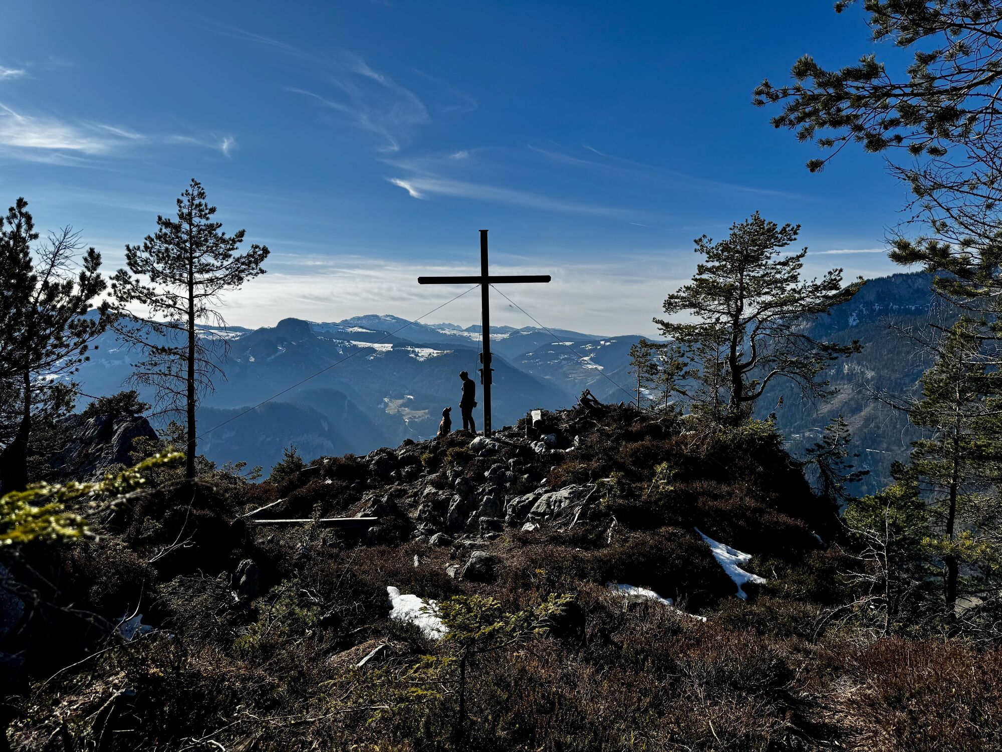
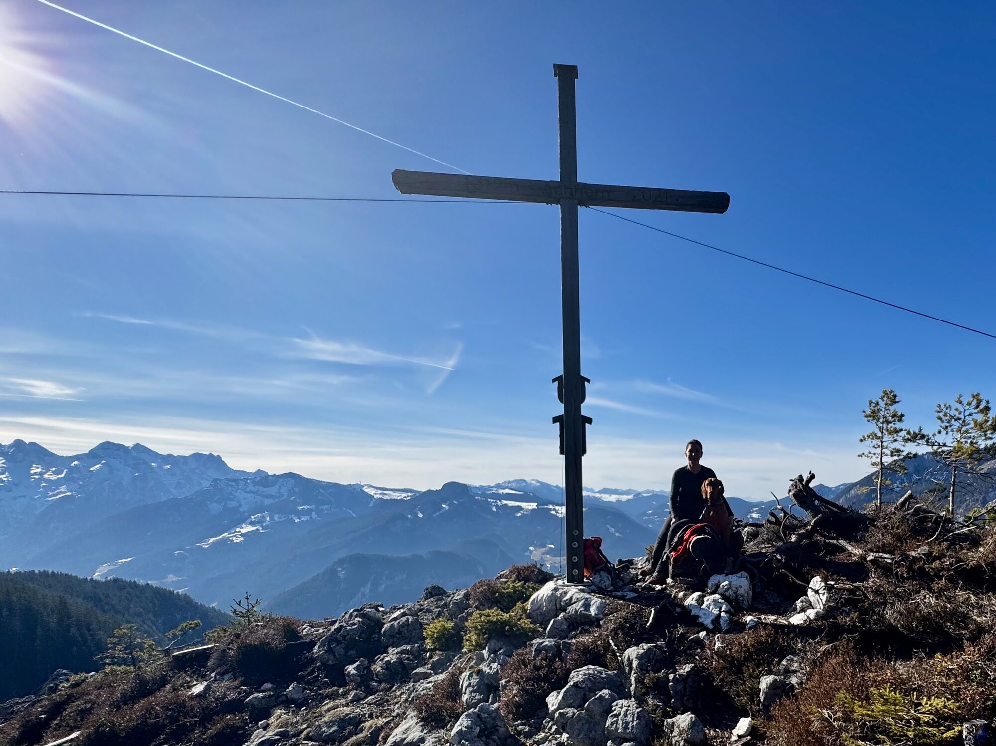
The Achhorn – a summit photo 700 m above Unken
Fotografie našich používateľov
-
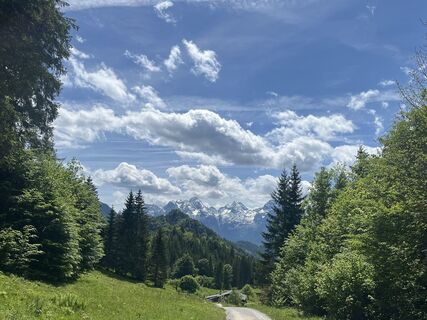
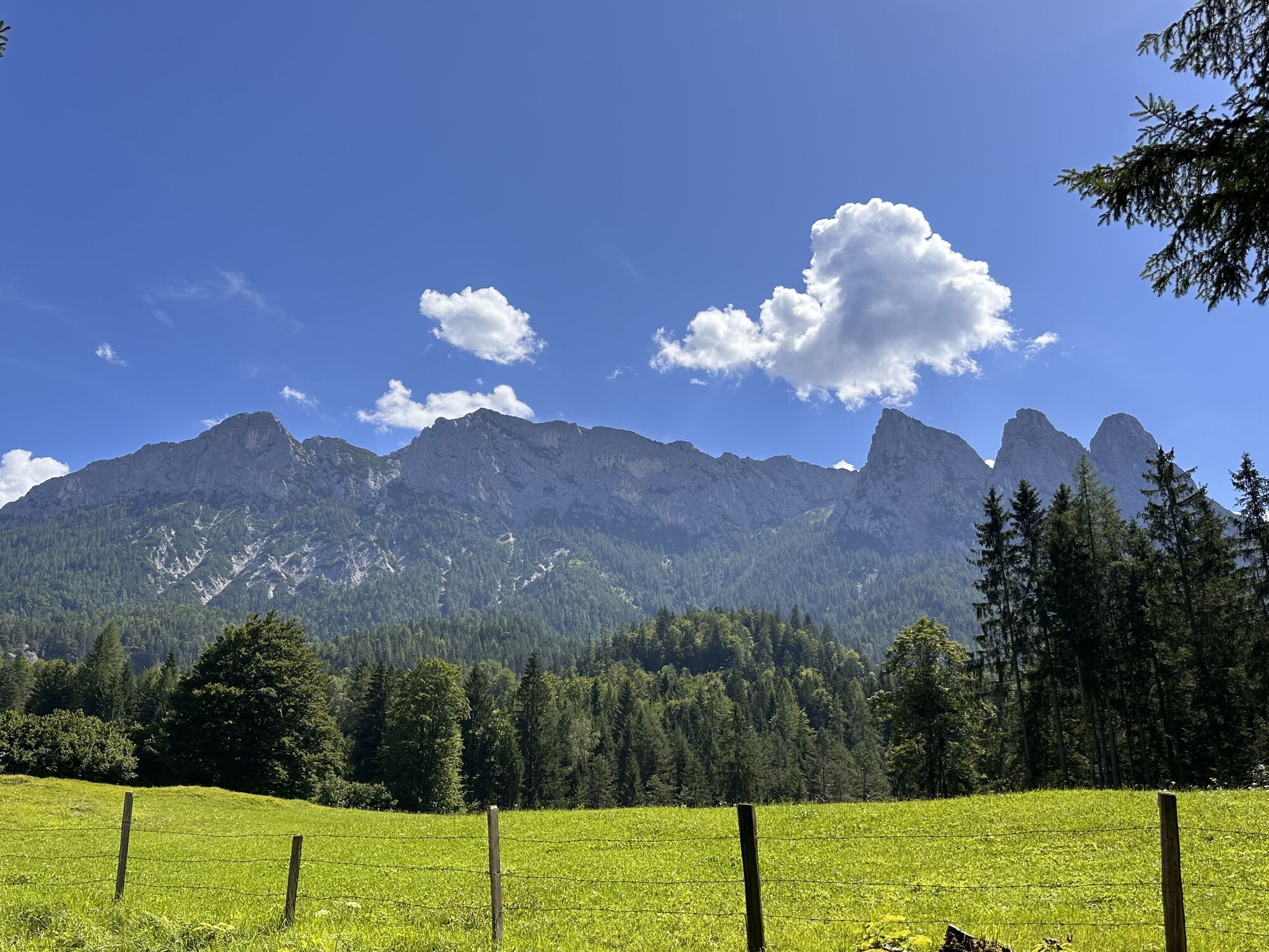
 © Daniela BrandstetterVytvorené dňa 30.05.2025
 -
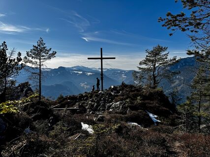
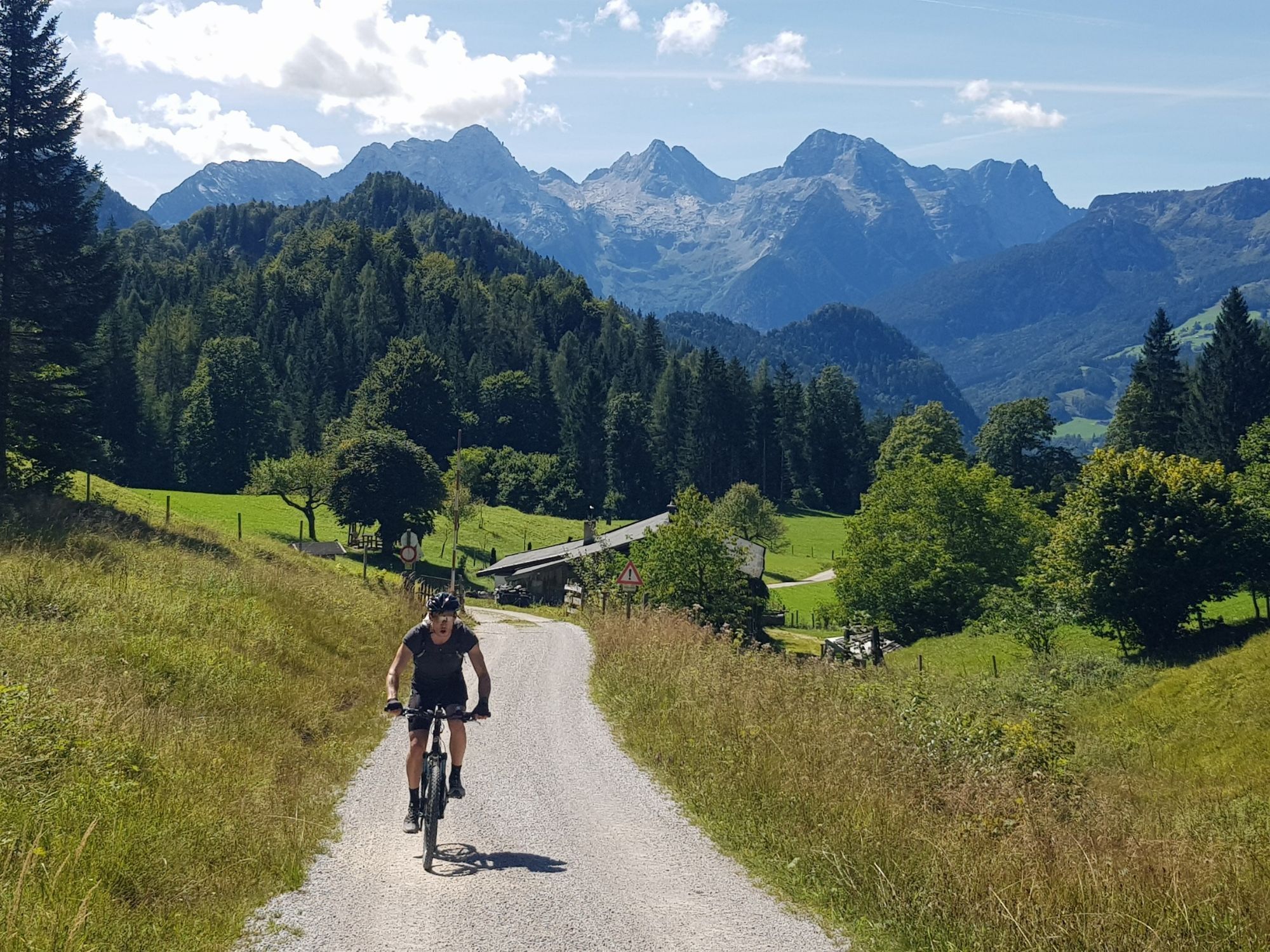
 © Harald DengjelVytvorené dňa 22.02.2025
 -
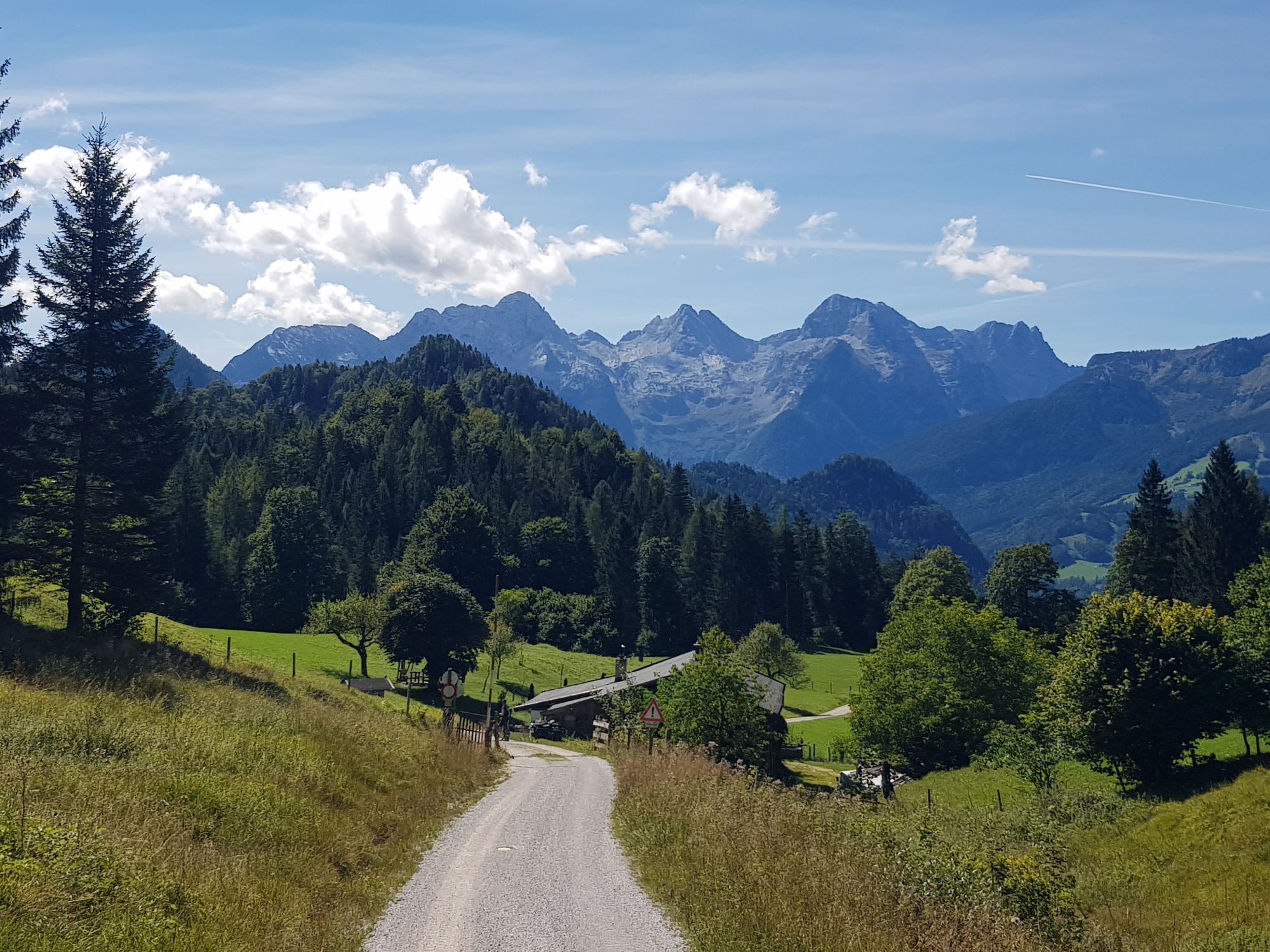
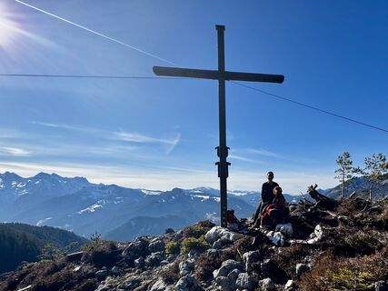 © Harald DengjelVytvorené dňa 22.02.2025
 -
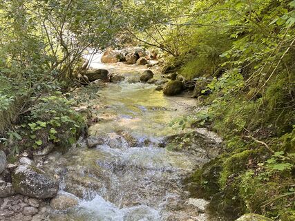
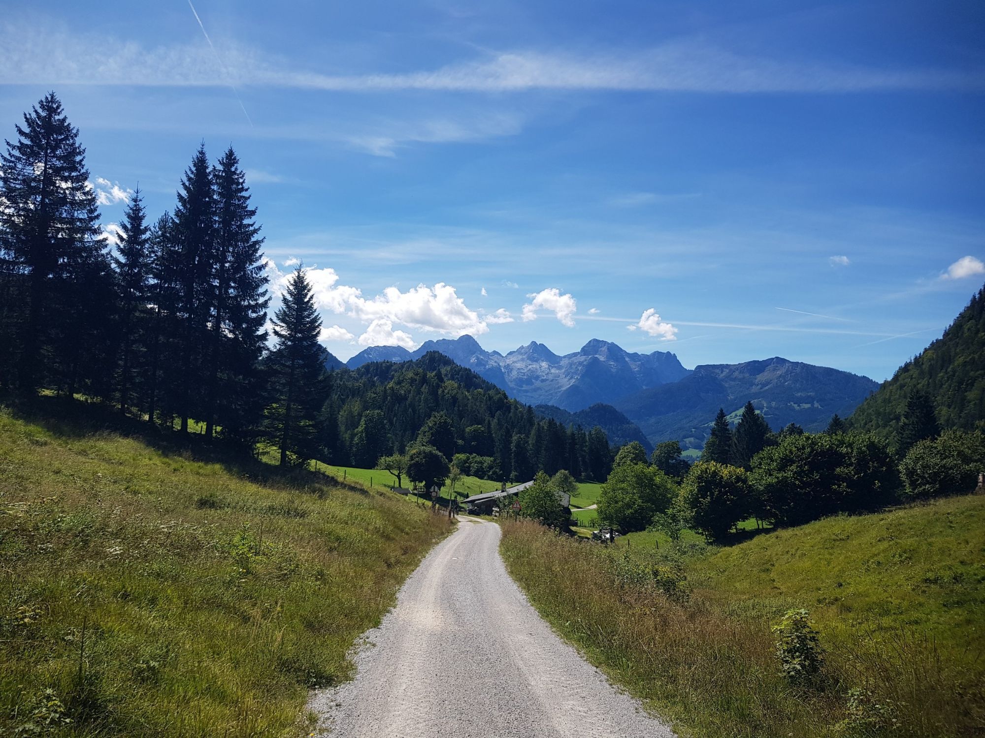
 © Norbert HerbigVytvorené dňa 13.08.2023
 -
 © Norbert HerbigVytvorené dňa 13.08.2023
 -
 © Norbert HerbigVytvorené dňa 13.08.2023
 -
 © Norbert HerbigVytvorené dňa 13.08.2023
 -
 © Norbert HerbigVytvorené dňa 13.08.2023
 -
 © Simon BrummerVytvorené dňa 03.09.2025
 -
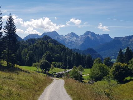 © Simon BrummerVytvorené dňa 03.09.2025
 -
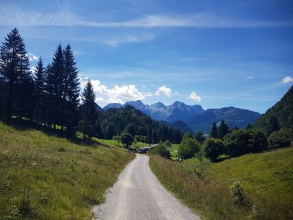 © Simon BrummerVytvorené dňa 03.09.2025

Fitness: Strength for about 3 hours uphill with 750 meters altitude difference. The ascent becomes steeper towards the end of the route. Total walking time about 5 hours.
Short & Sweet: The route initially...
Fitness: Strength for about 3 hours uphill with 750 meters altitude difference. The ascent becomes steeper towards the end of the route. Total walking time about 5 hours.
Short & Sweet: The route initially runs over an asphalted street through the district of Reith. After about 1 kilometer it changes into a forest road. In the last section a hiking path leads up to the summit. There are some short exposed sections on root-covered paths in the steep forest. A rope is attached to the rock for holding on. A bit of sure-footedness and head for heights is required here. The return route is via the same way. There is no dining option along the hike; the next are about 3 km from the start and end point in Unken.
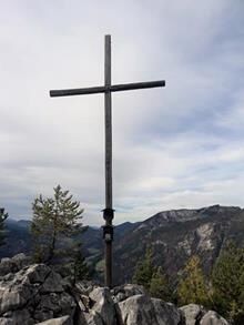
Route Highlights: The summit experience with a unique view of Unken. Don't forget a summit photo and to sign the summit book ;). At the end of the route, there is a cooling option in the "Reither swimming pool".
As an alternative, the variant via the Aschauer Gorge can also be chosen to and from the Aschauer Sattel (entry: Haiderhof Schneizelreuth).

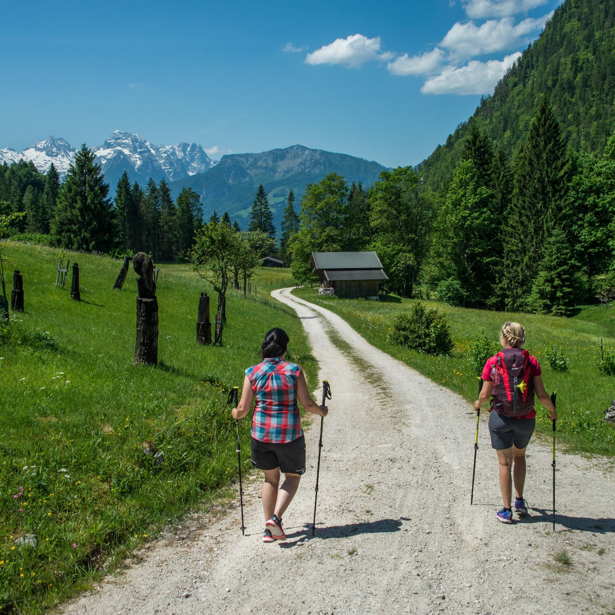
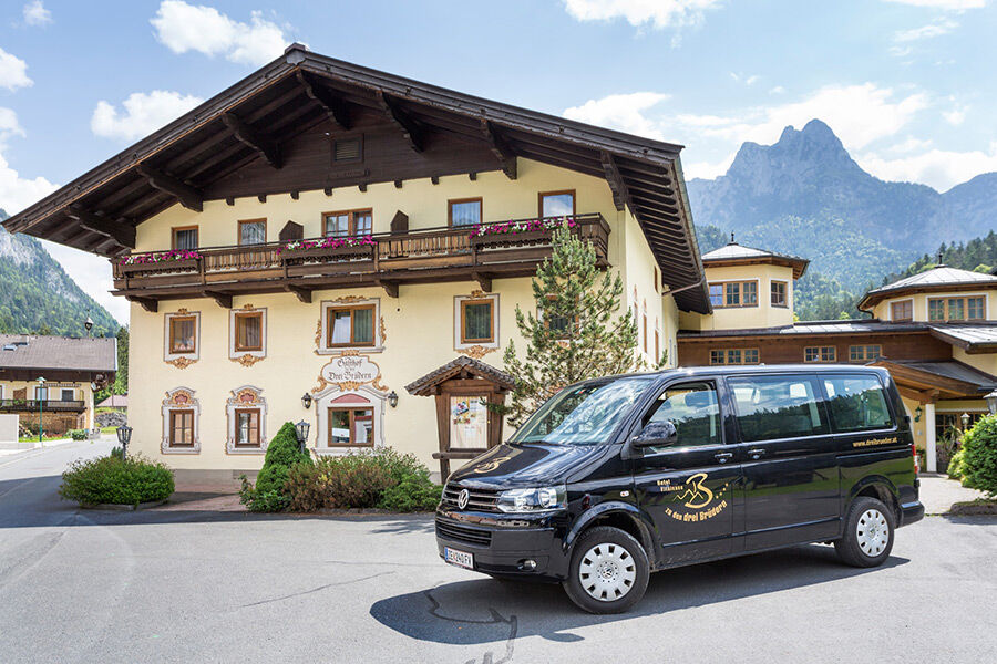

From the parking lot at the Reither Bridge first over the asphalt road and later over the forest road towards Aschauer Sattel. Shortly before the German border, turn left and follow hiking trail No. 2 to the Achhorn.
The descent is via the same path as the ascent.
Áno
Áno
Áno
Besides a water bottle, we recommend sturdy footwear, warm clothing and rain protection, mobile phone, sunglasses and sun protection (e.g., cap) as well as a small snack.
Via the B178 to Reith (located between Unken and Lofer). The public parking lot is directly at the town entrance after the bridge over the Saalach.
Take the line bus 260 to the stop Unken - Reith
Timetable
Parking lots directly after the Reither Bridge. (Free of charge)
Take enough drinks and a snack - no dining options on the route.
Získajte prehľad
Vždy naživo na mieste s viac ako 9 500 webovými kamerami. bergfex Ako používateľ Pro si teraz môžete pozrieť príslušné webové kamery pre mnohé zájazdy v aplikácii zájazdy z. Môžete si tak priamo prezerať aktuálne podmienky.
Obľúbené výlety v okolí
-
4,3
Staufen-Bergtour
strednáTuristika 14,1 km -
4,4
Wimbachgrieshütte
Turistika 8,30 km -
4,2
Halsalm
Turistika 6,43 km -
5,0
Watzmann Überschreitung an einem Tag
ťažkéTuristika 23,9 km -
3,8
Rundwanderweg zur Steinernen Agnes
Turistika 9 km -
4,9
Ramsau/Hintersee-Runde
svetloTuristika 9,44 km -
4,9
Dötzenkopf Rundweg
strednáTuristika 6,95 km -
3,9
Soleleitungsweg
Turistika 10,5 km -
4,4
Alpgarten-Rundweg
Turistika 2,93 km -
4,8
Loferer Steinberge, zum Hinterhorn über die Schmid-Zabierow Hütte, 19.06.22
ťažkéTuristika 14,0 km

Turistika a stopovanie


Nenechajte si ujsť ponuky a inšpiráciu na ďalšiu dovolenku
Vaša e-mailová adresa bol pridaný do poštového zoznamu.





