







Salzburger Almenweg – Stage 24: St. Martin – Werfenweng

Úroveň náročnosti: T2
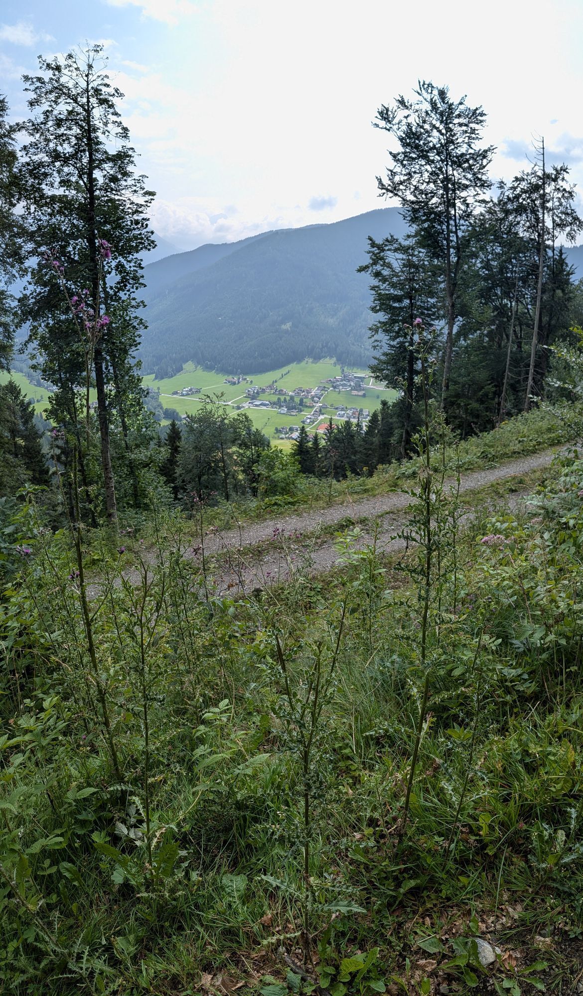
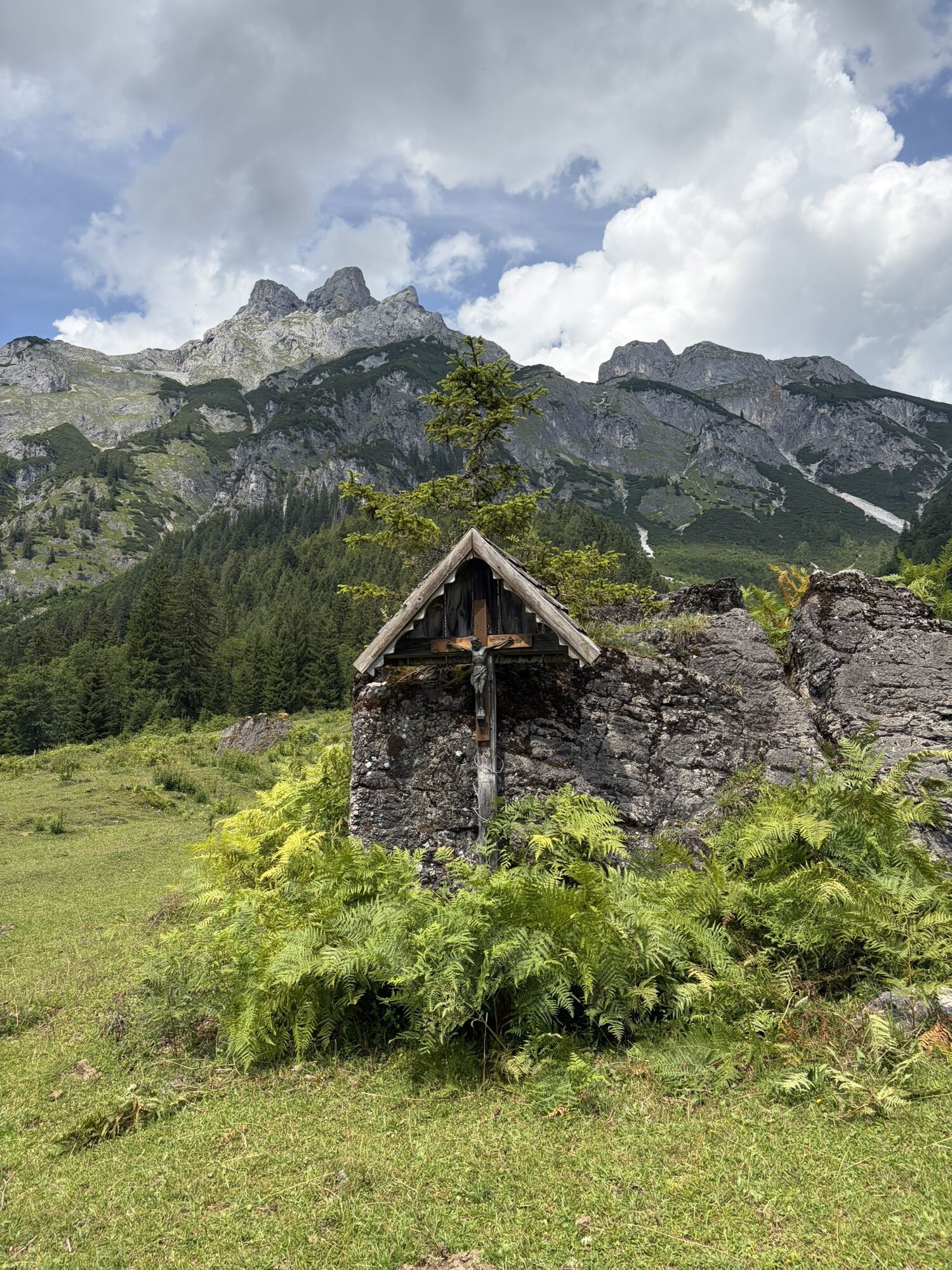
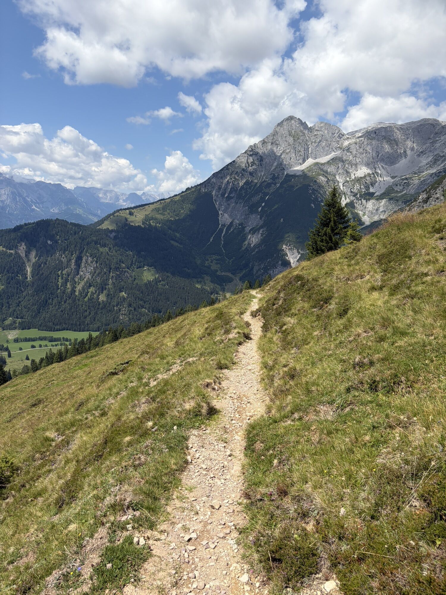
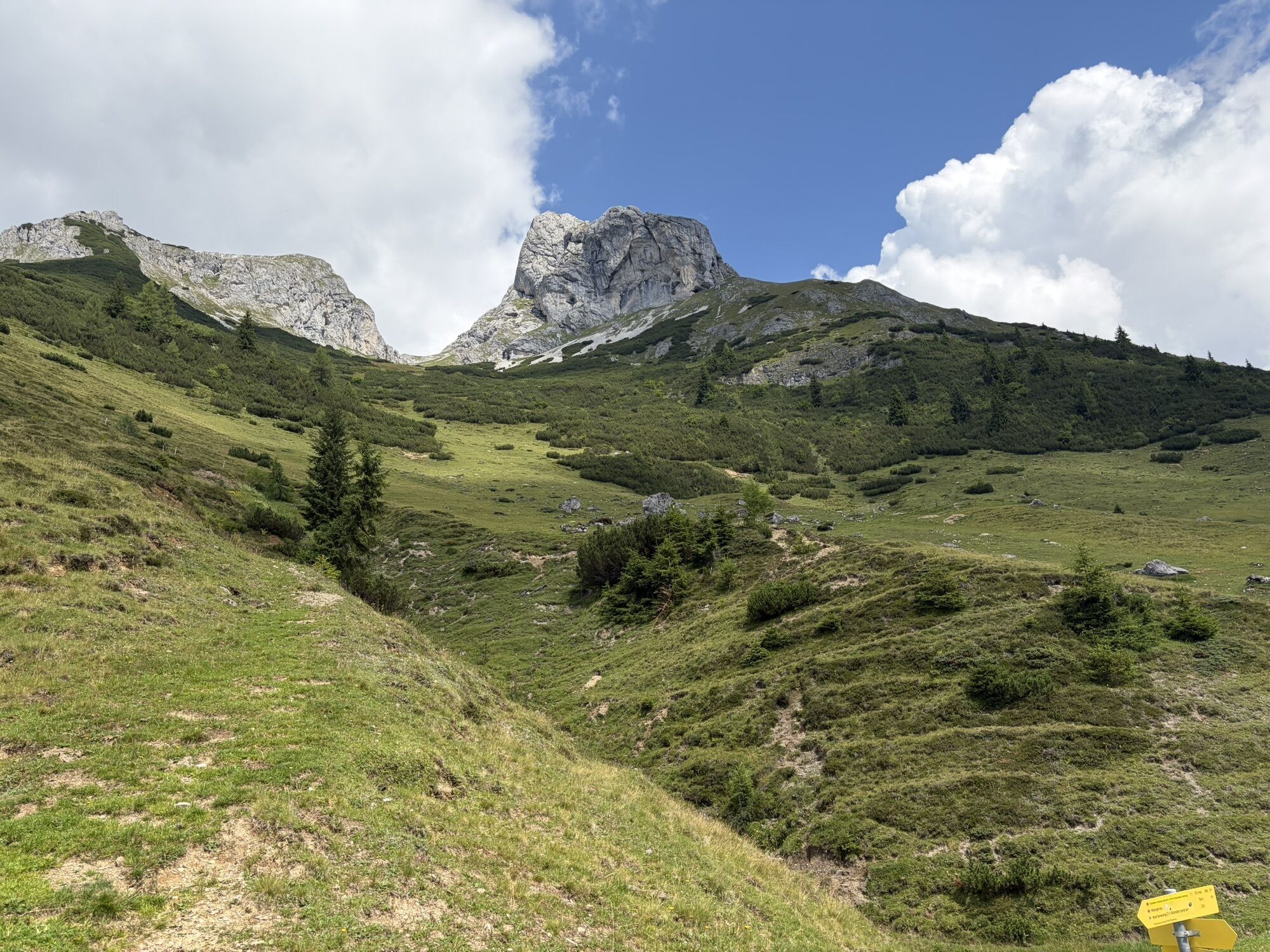
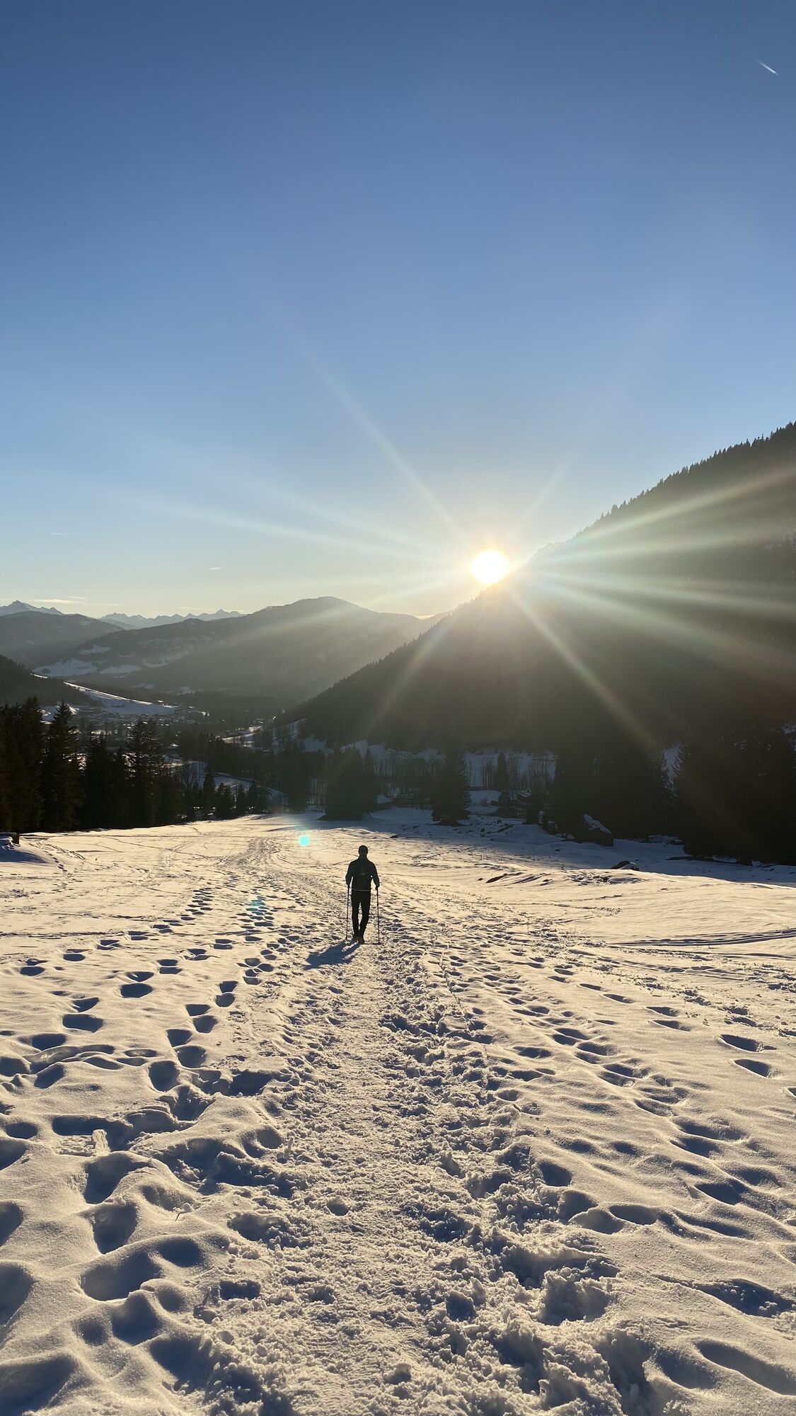
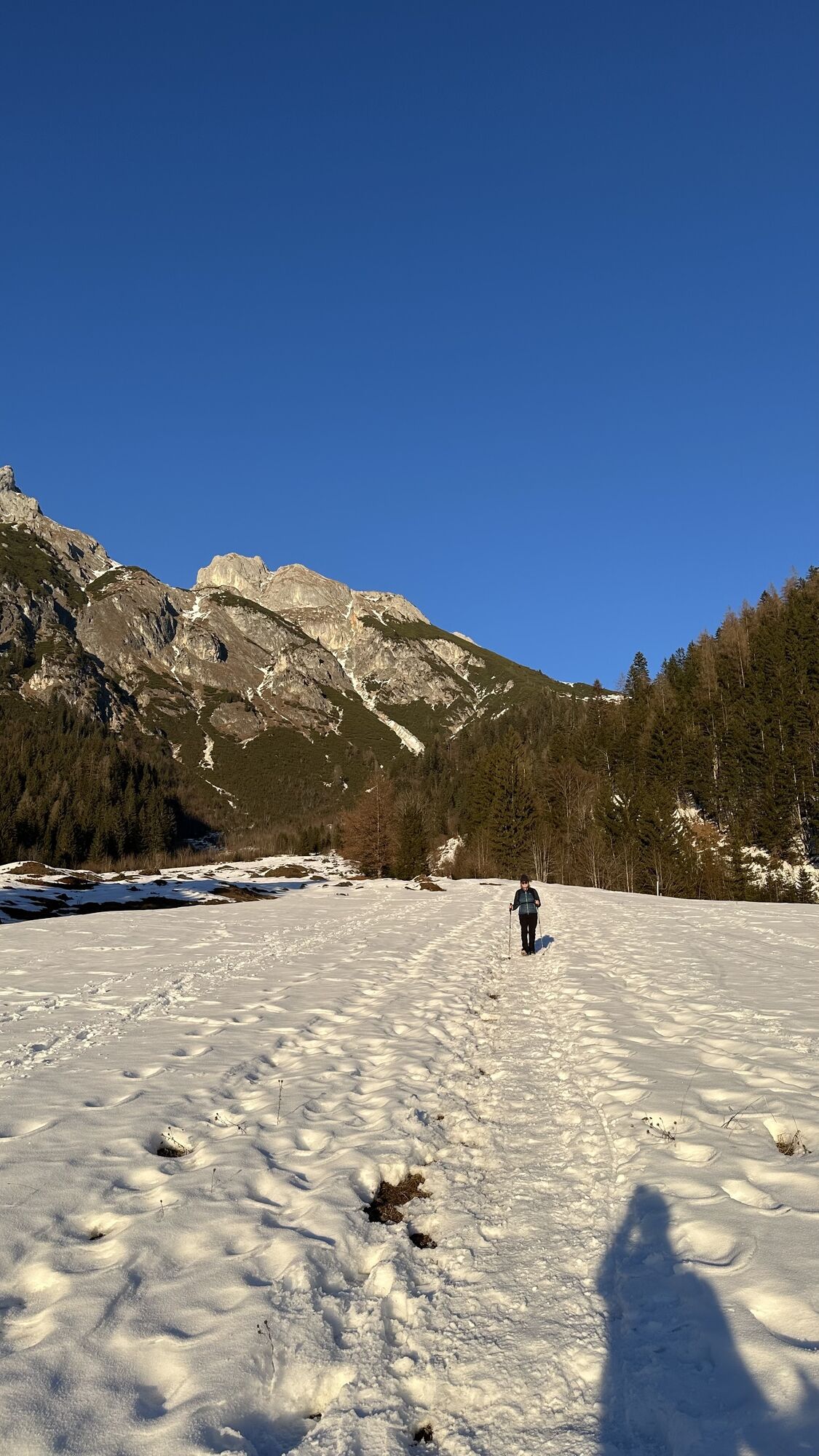
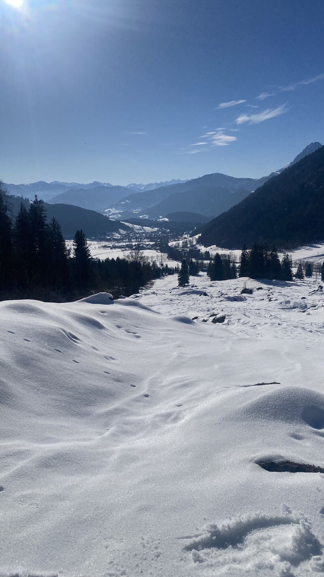
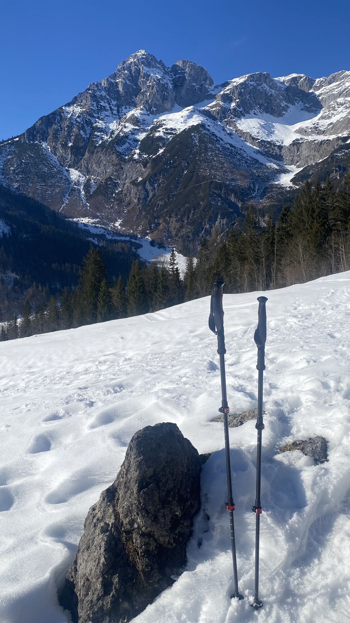
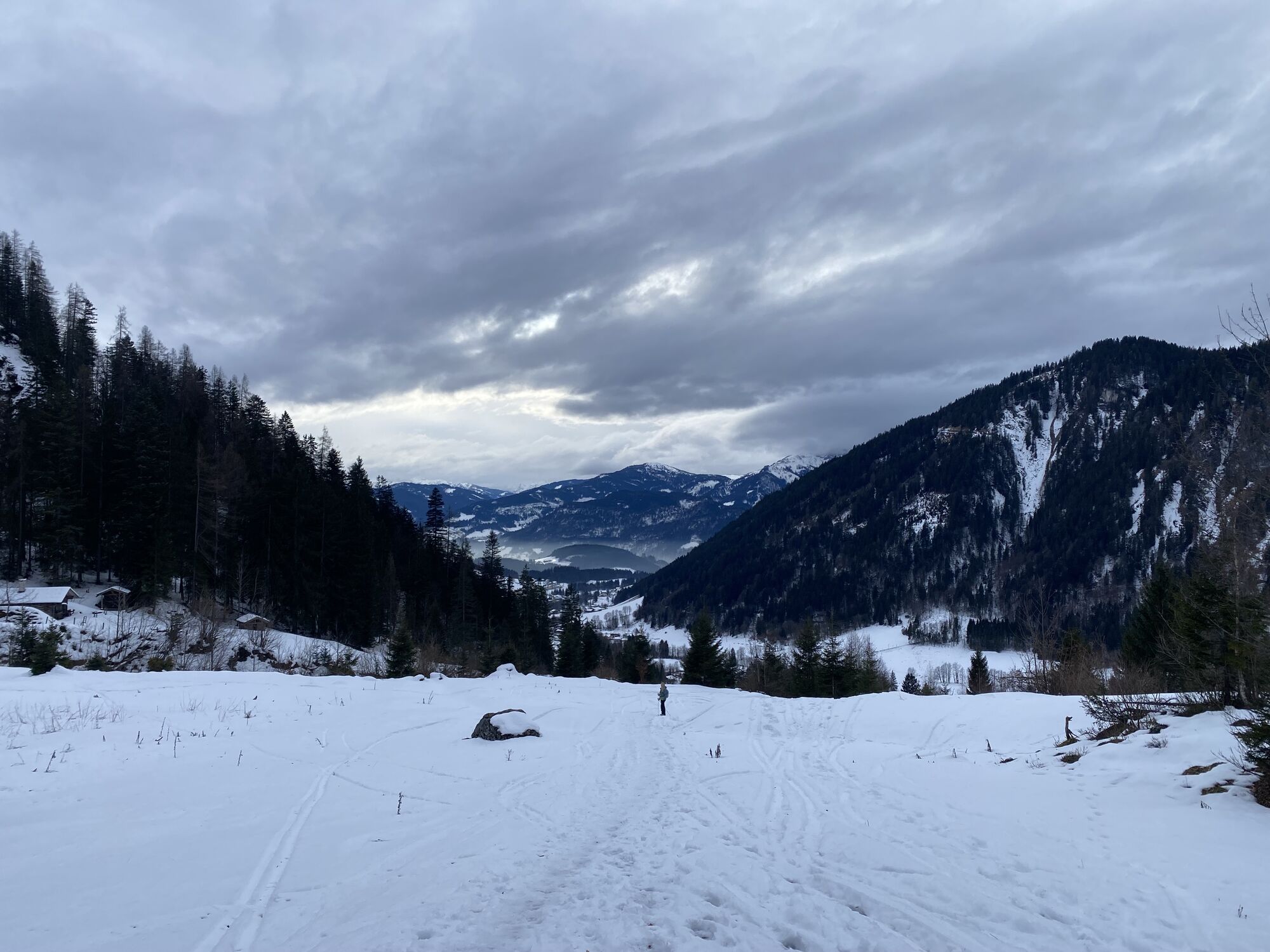
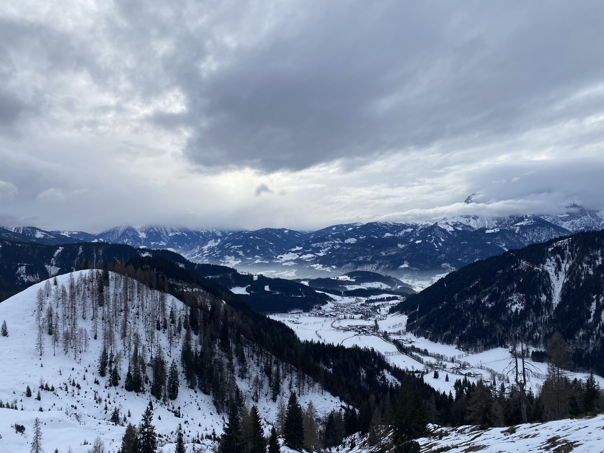
On the penultimate stage of the official Salzburger Almenweg, a little melancholy sets in: Already over? Not quite! Every step and every moment must be enjoyed. More than ever! The stage from St. Martin...
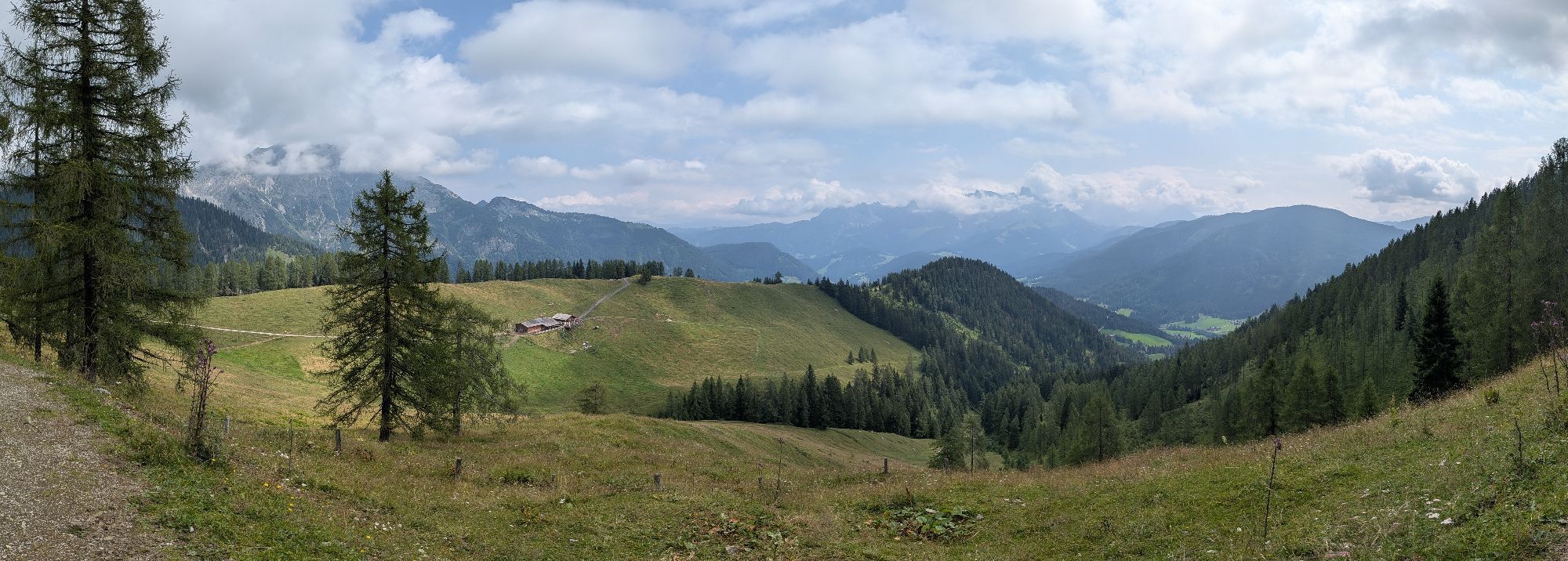
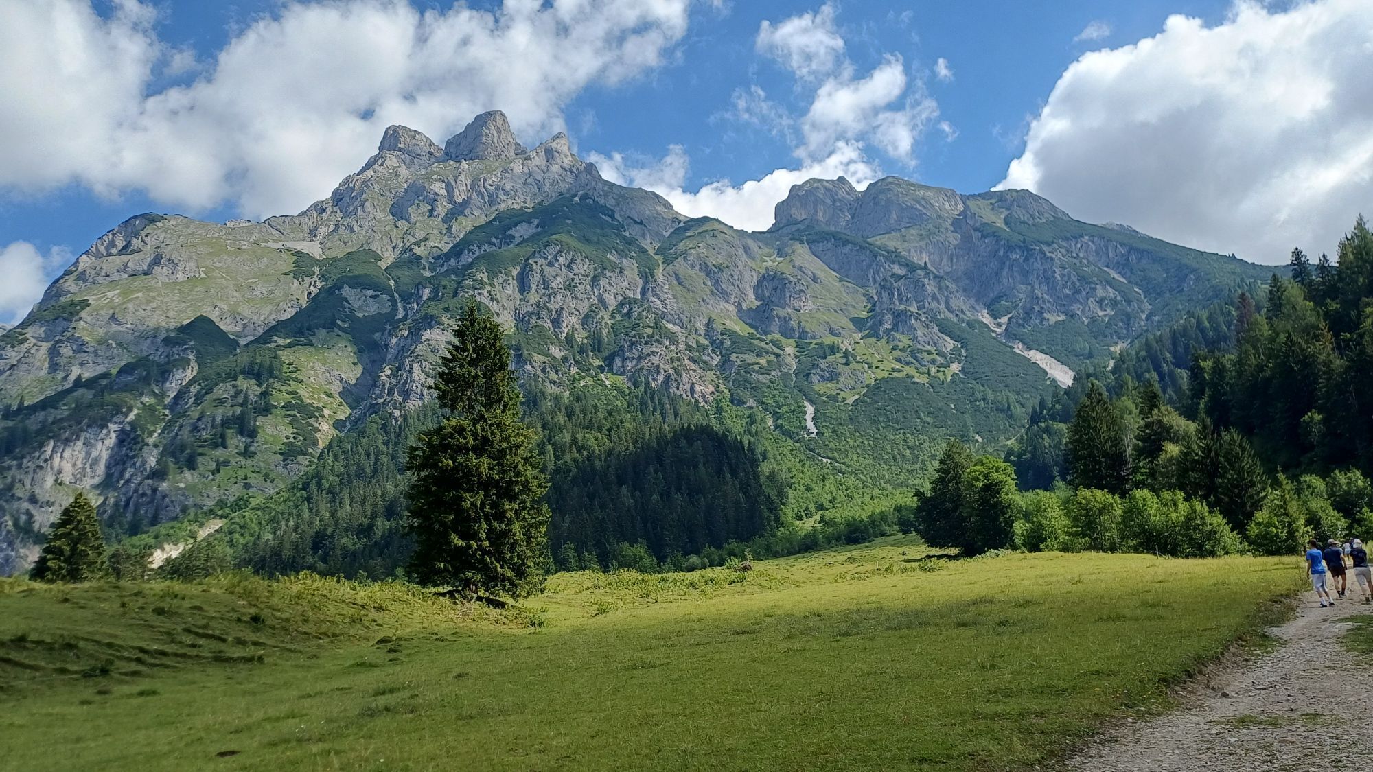
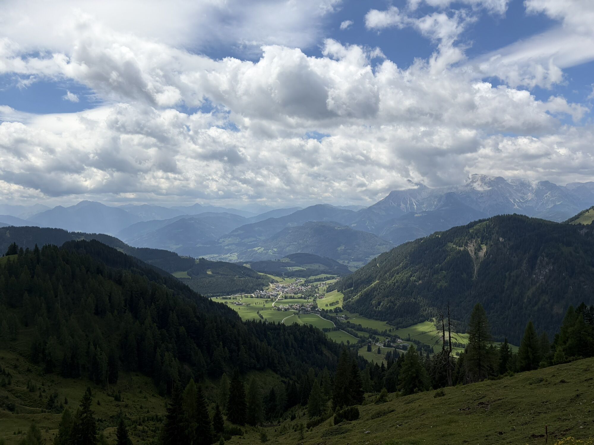
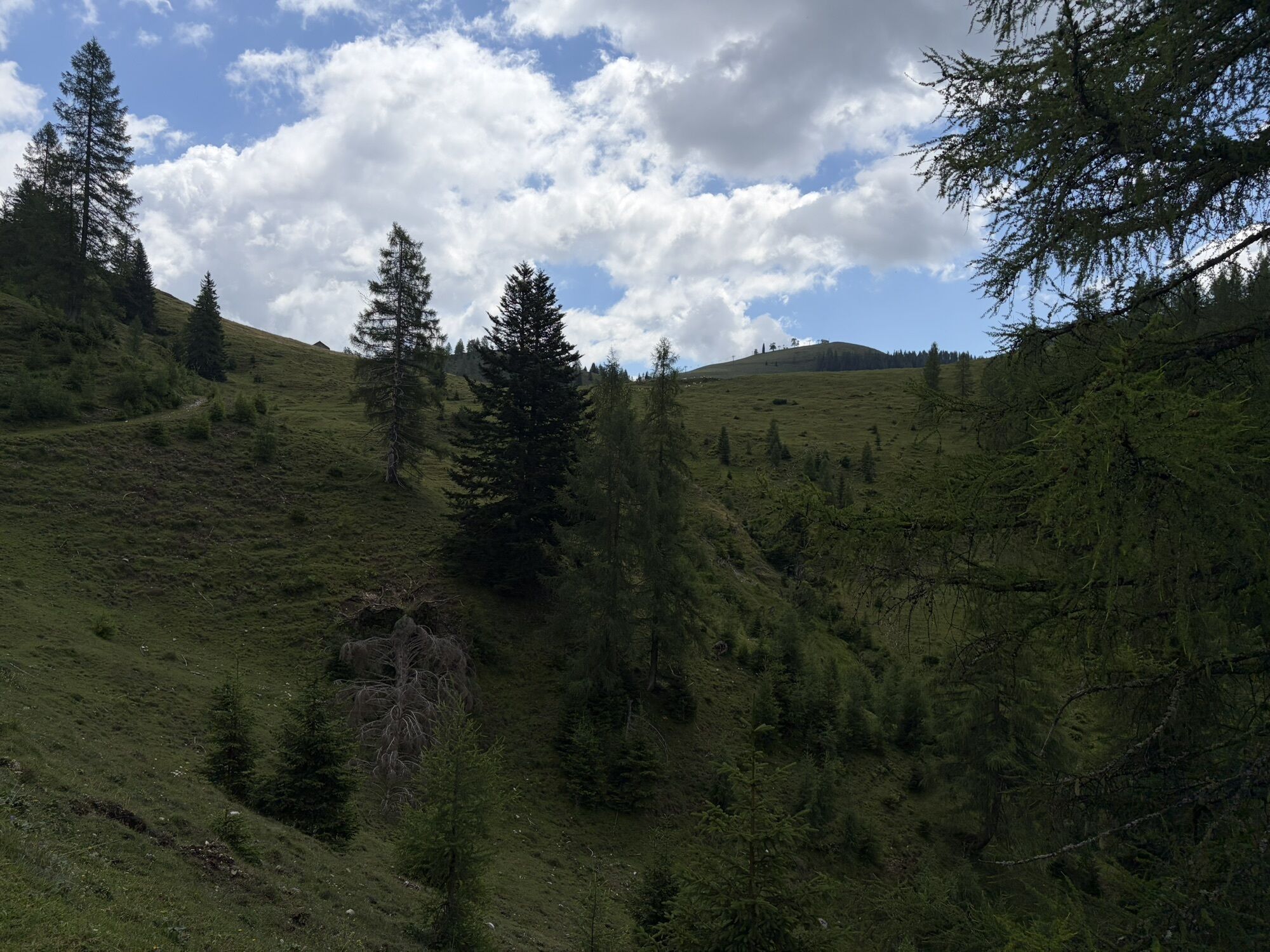
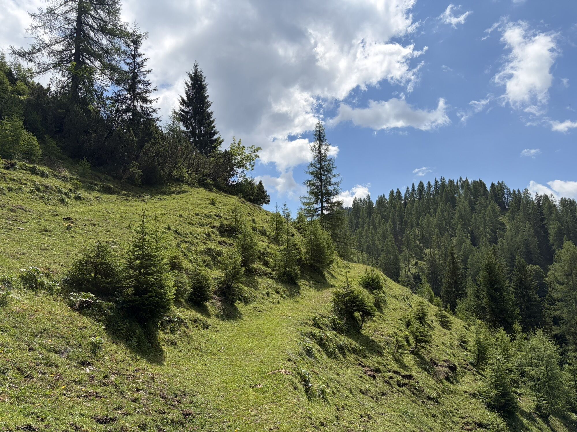
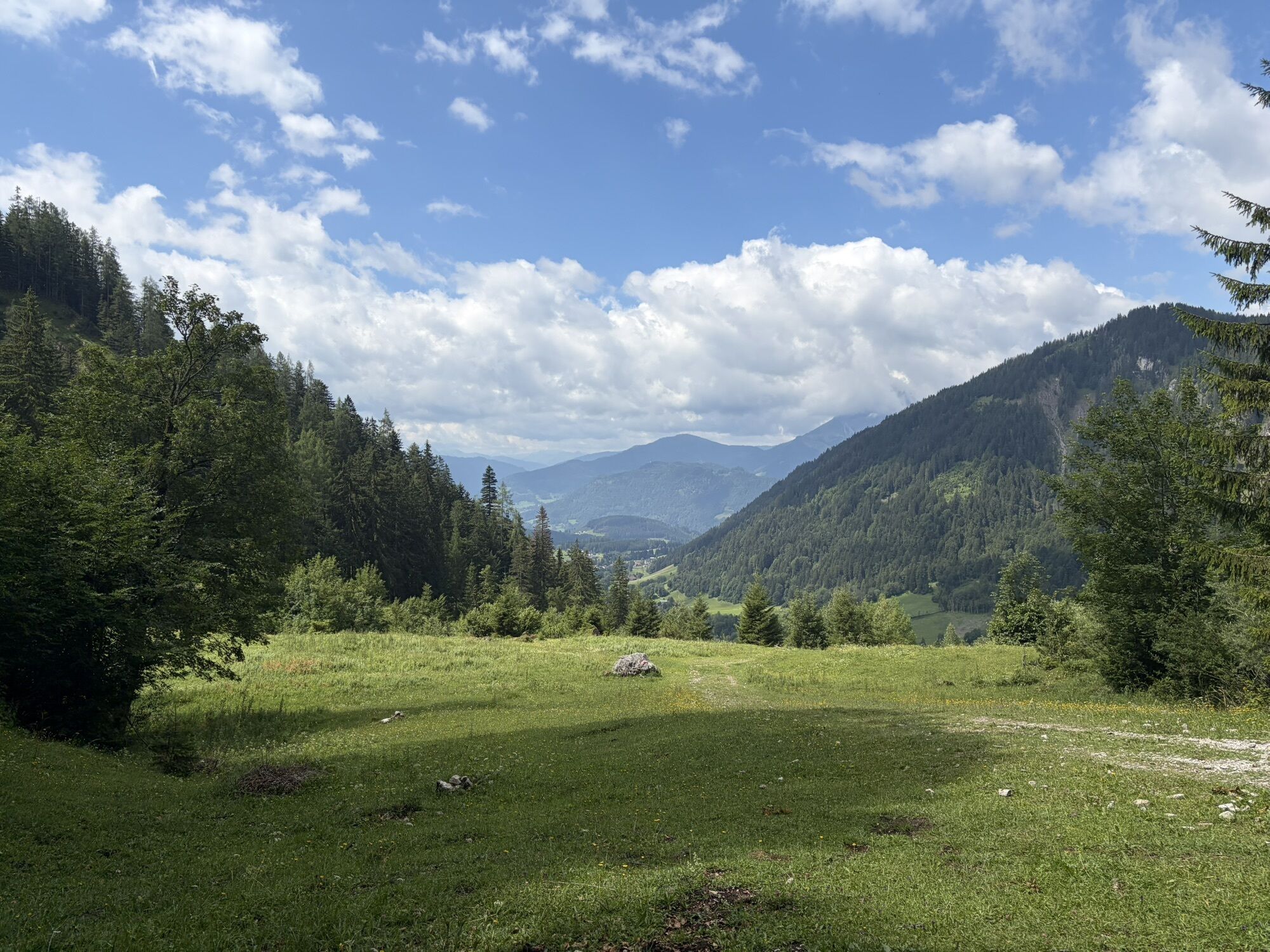
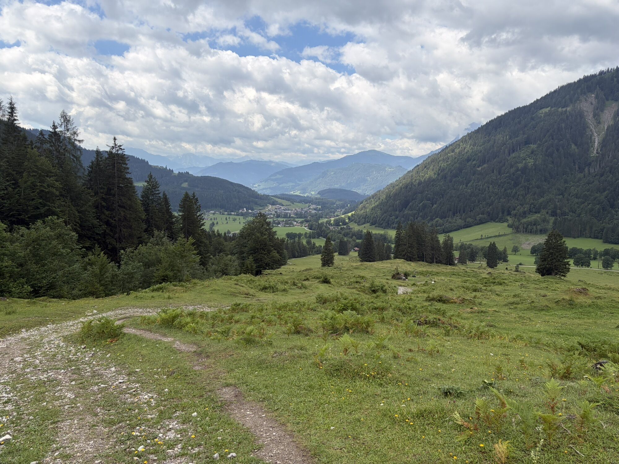
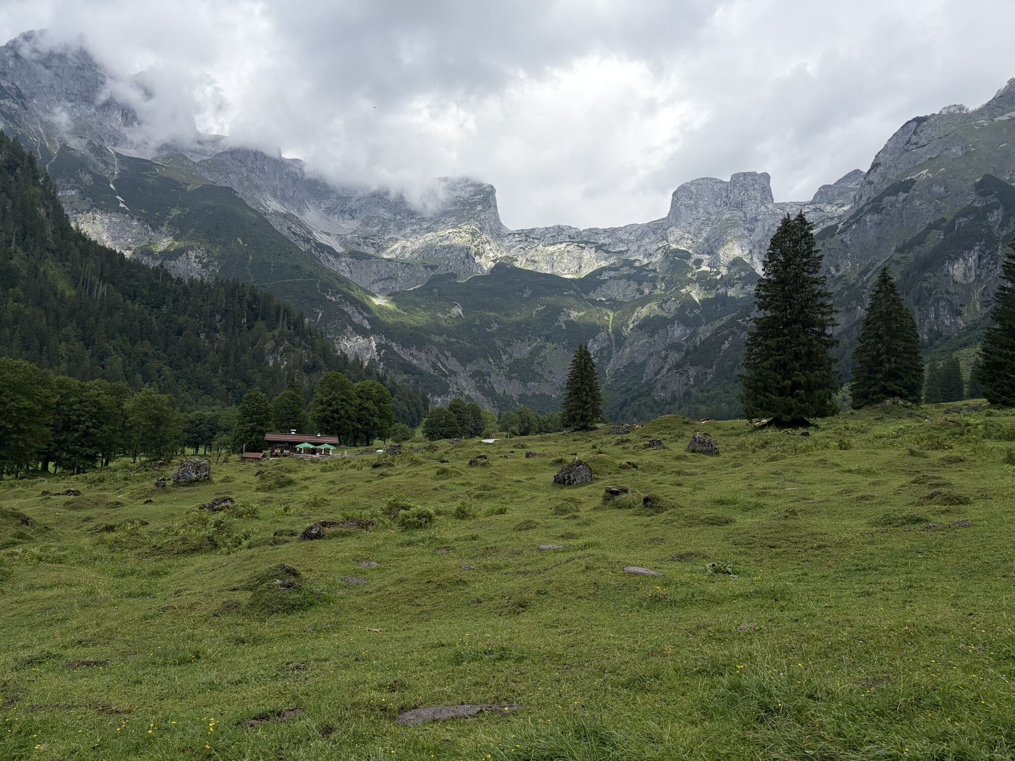
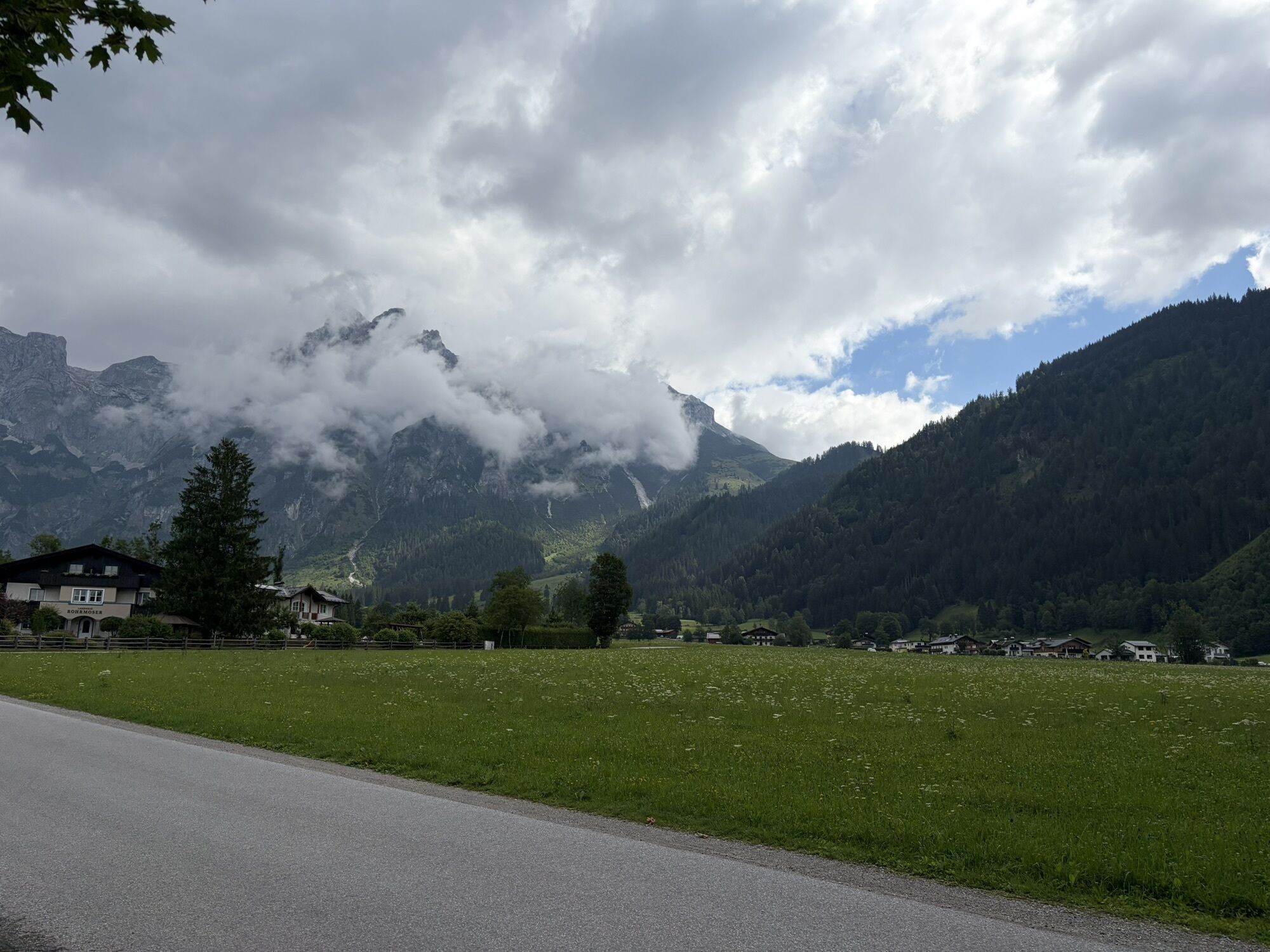
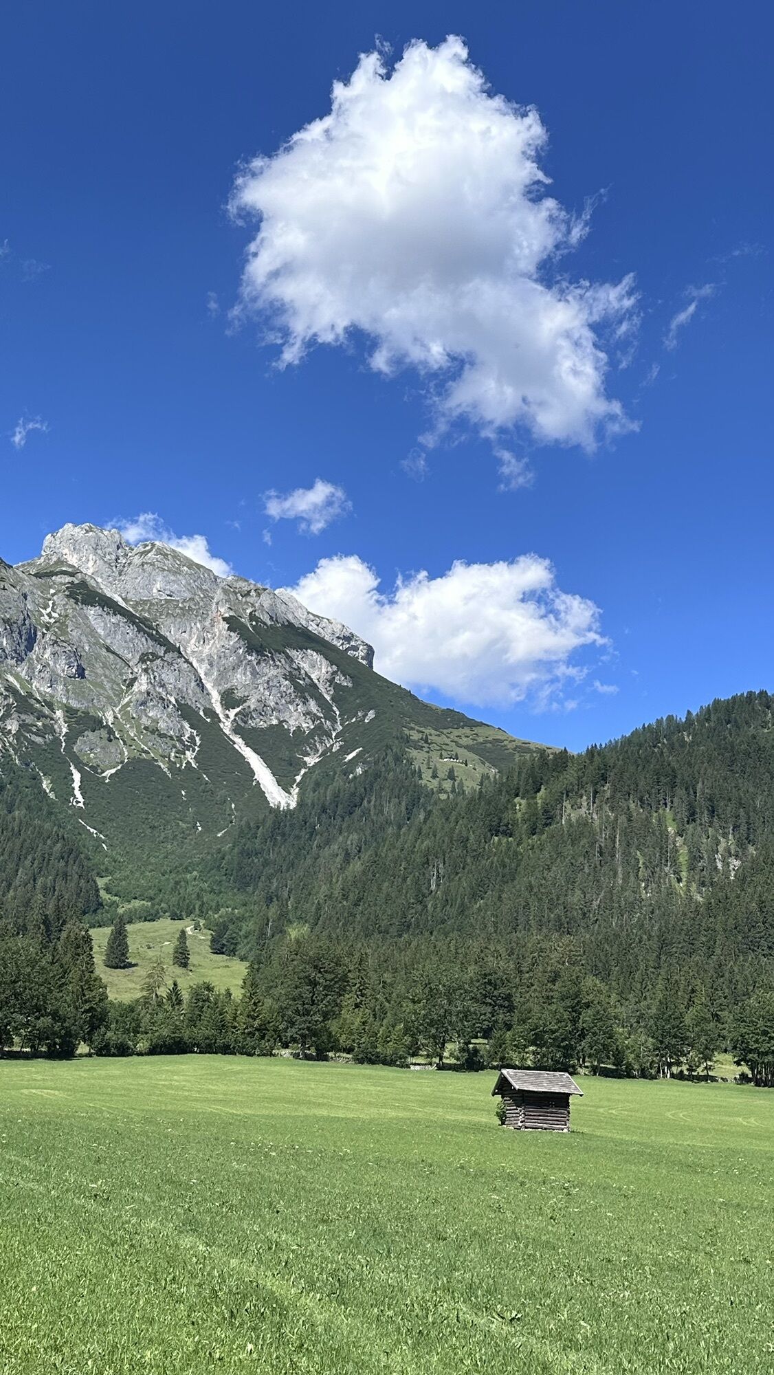
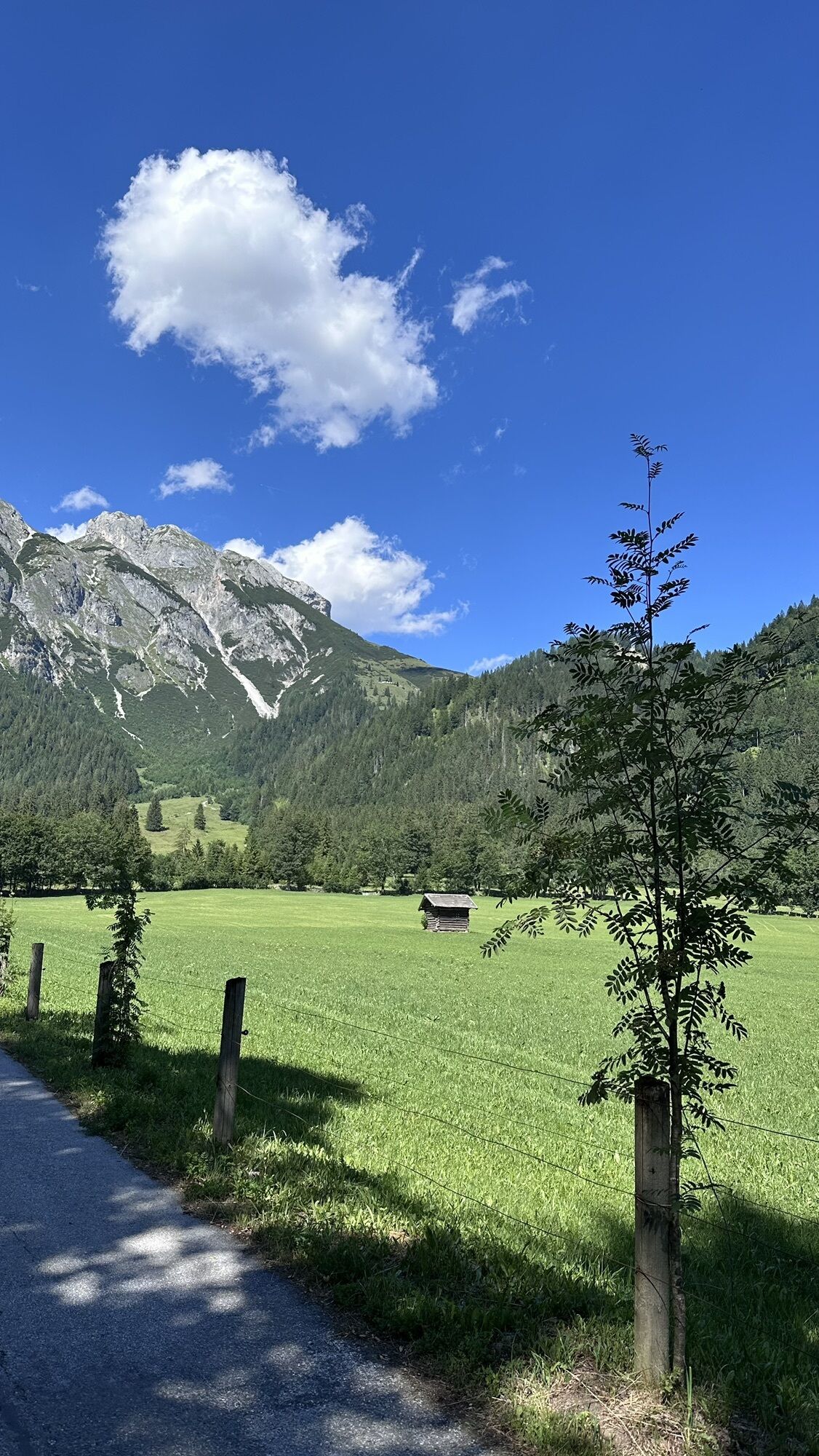
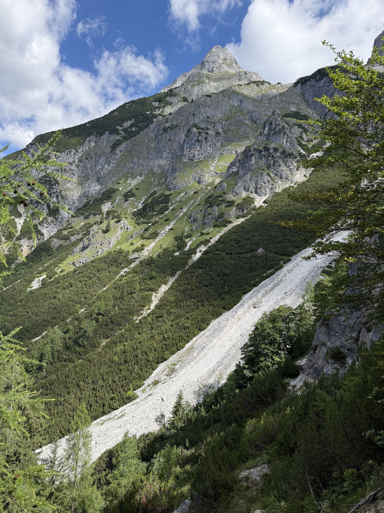
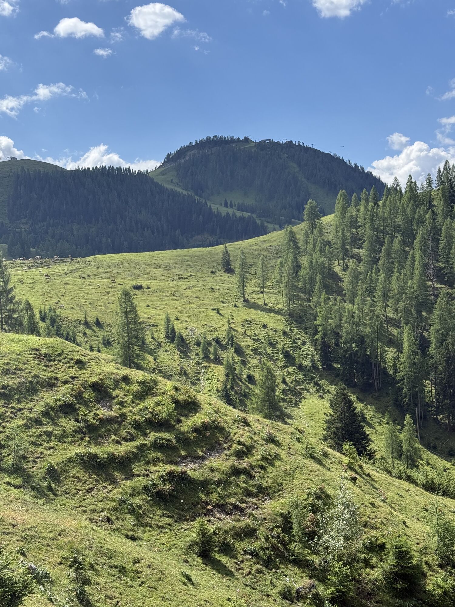
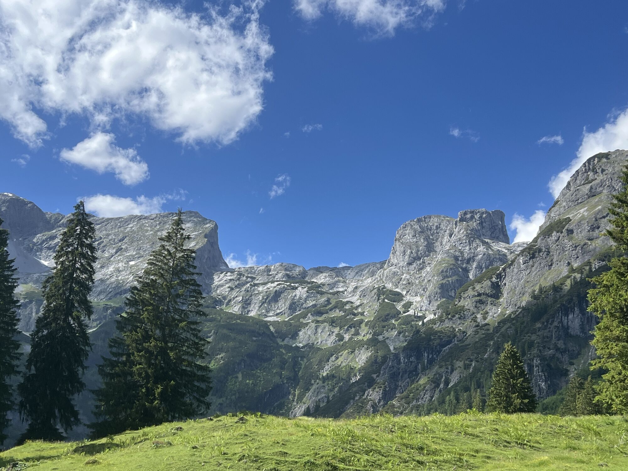
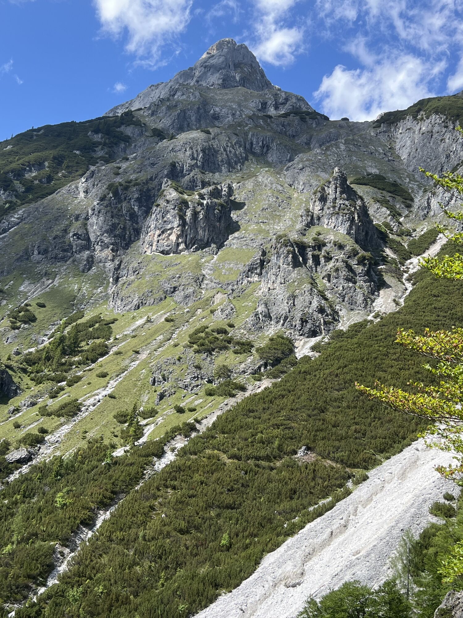
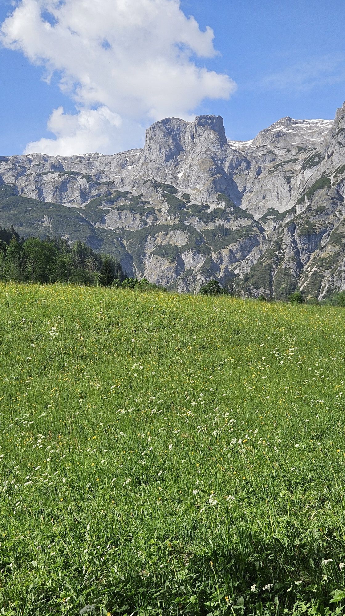
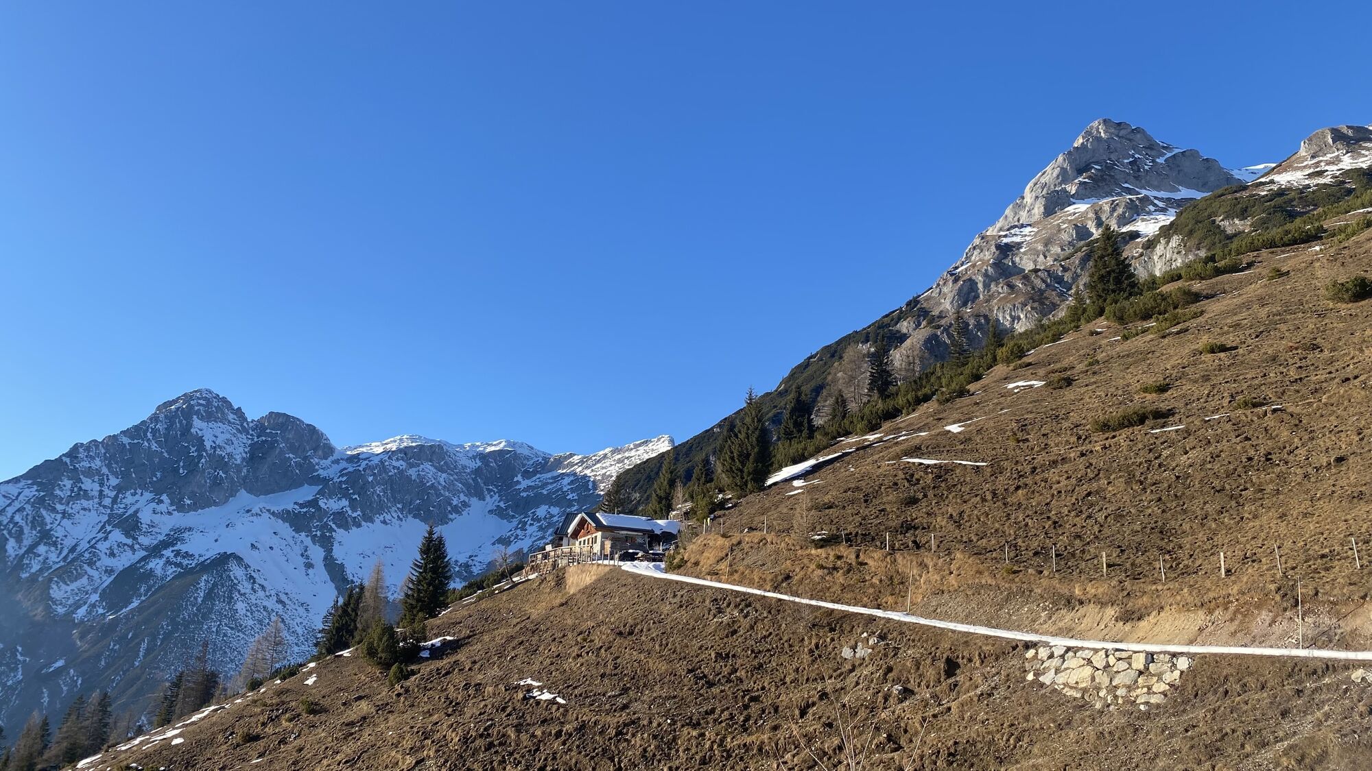
On the penultimate stage of the official Salzburger Almenweg, a little melancholy sets in: Already over? Not quite! Every step and every moment must be enjoyed. More than ever! The stage from St. Martin to Werfenweng leads along the southern side of the Tennengebirge through a beautiful alpine landscape, and a certified alpine summer hut is also on the way: stopping by is definitely worth it, especially to enjoy the dreamlike panorama.
Tomorrow the circle will close in Werfen. But today it is time to savor the beauty up here once again with all senses: the alpine life with its customs and traditions, the seasonal particularities, and the famous Salzburg hospitality with which hikers are welcomed. The high trail leads to the Dr.-Heinrich-Hackel-Hütte at an altitude of 1,531 meters, from where the descent to the stage destination, the Alpine Pearls location Werfenweng, takes place.
Off the path
Not far from St. Martin lies the “Lammertaler Urwald”: the “Lammertaler Wächter,” the “Great Beech,” and the “Old Tax,” which grow here, belong to the tallest trees in Austria along with other tree giants. This special piece of forest lies at 1,300 meters altitude and is so well hidden that it was never forestry-used. Over the centuries, it has become an excursion destination that houses astounding natural wonders and especially on a warm summer day offers a special form of refreshment.
Almenweg stories
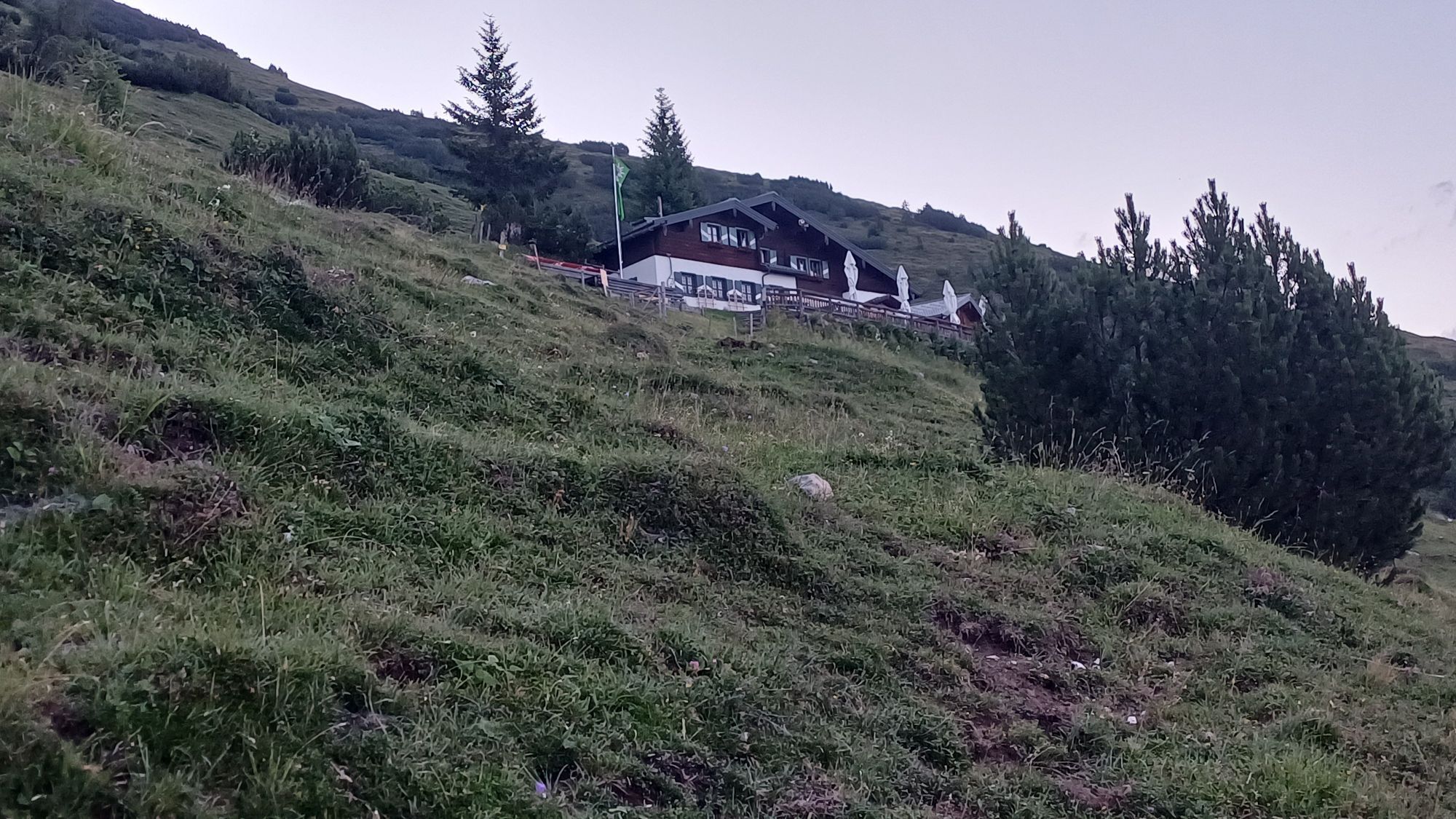
Today's stage's Dr.-Heinrich-Hackel-Hütte is closely connected to one of the most famous Salzburg mountaineers. The mountaineer, hut keeper, and television and radio presenter Sepp Forcher (1930–2021) was born in Rome and spent his early childhood in South Tyrol. After the South Tyrol Agreement, his parents chose to leave Italy and fled with their son to Salzburg. From 1940, Sepp Forcher's parents were hut keepers at the Dr.-Heinrich-Hackel-Hütte, making it his second home for ten years. In his life, he himself was a hut keeper in the Grossarltal and at the Zeppezauerhaus at the Untersberg, whose reconstruction in 1914 was also overseen by Hofrat Dr. Heinrich Hackel (1874–1960). Those who reserve early can stay overnight at the hut instead of in Werfenweng.

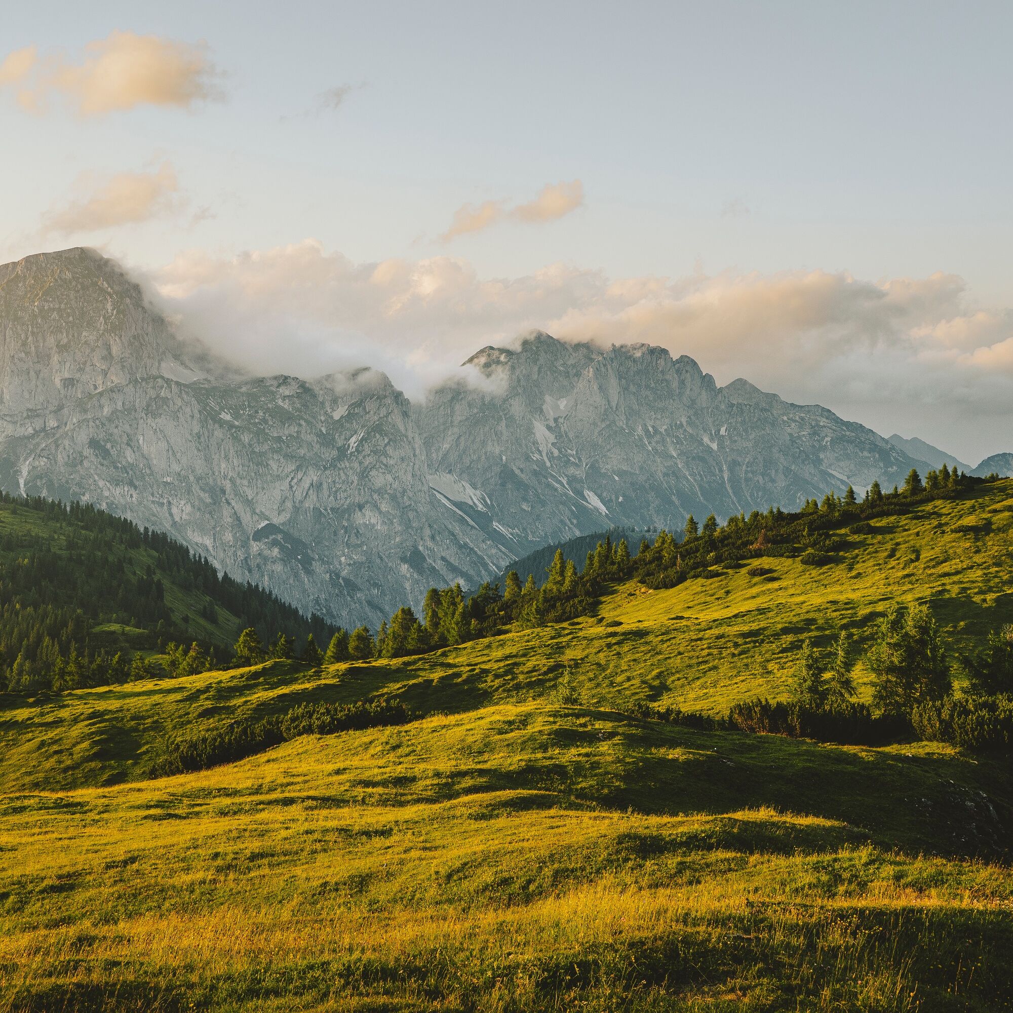
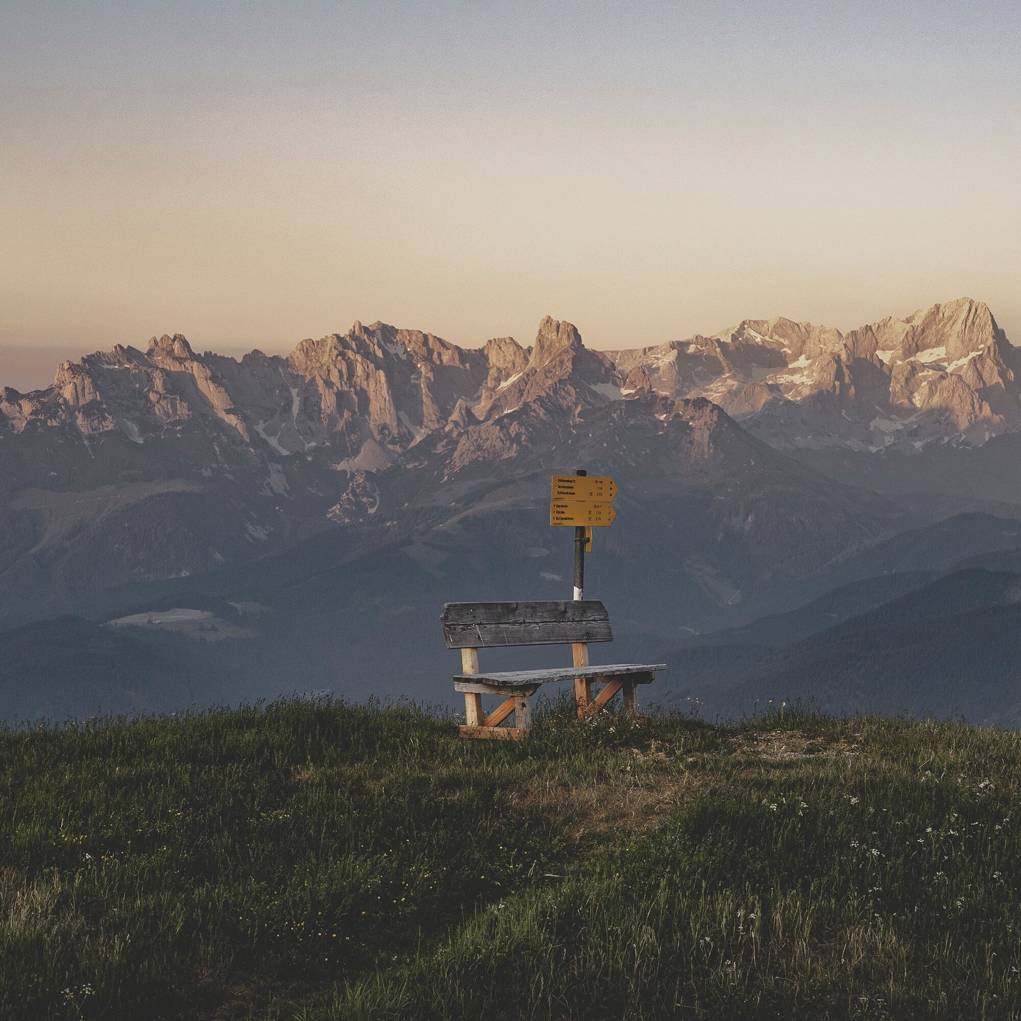
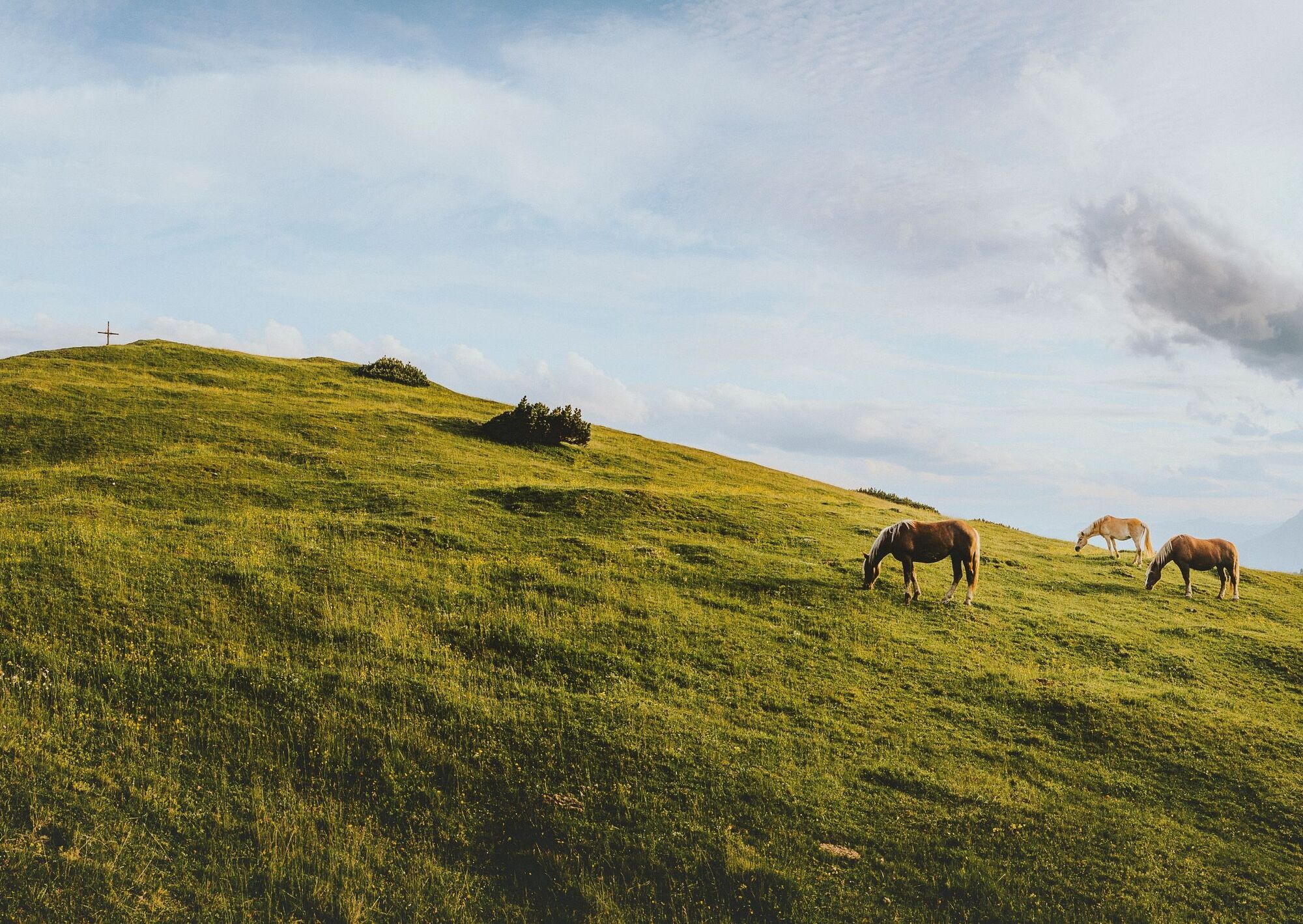
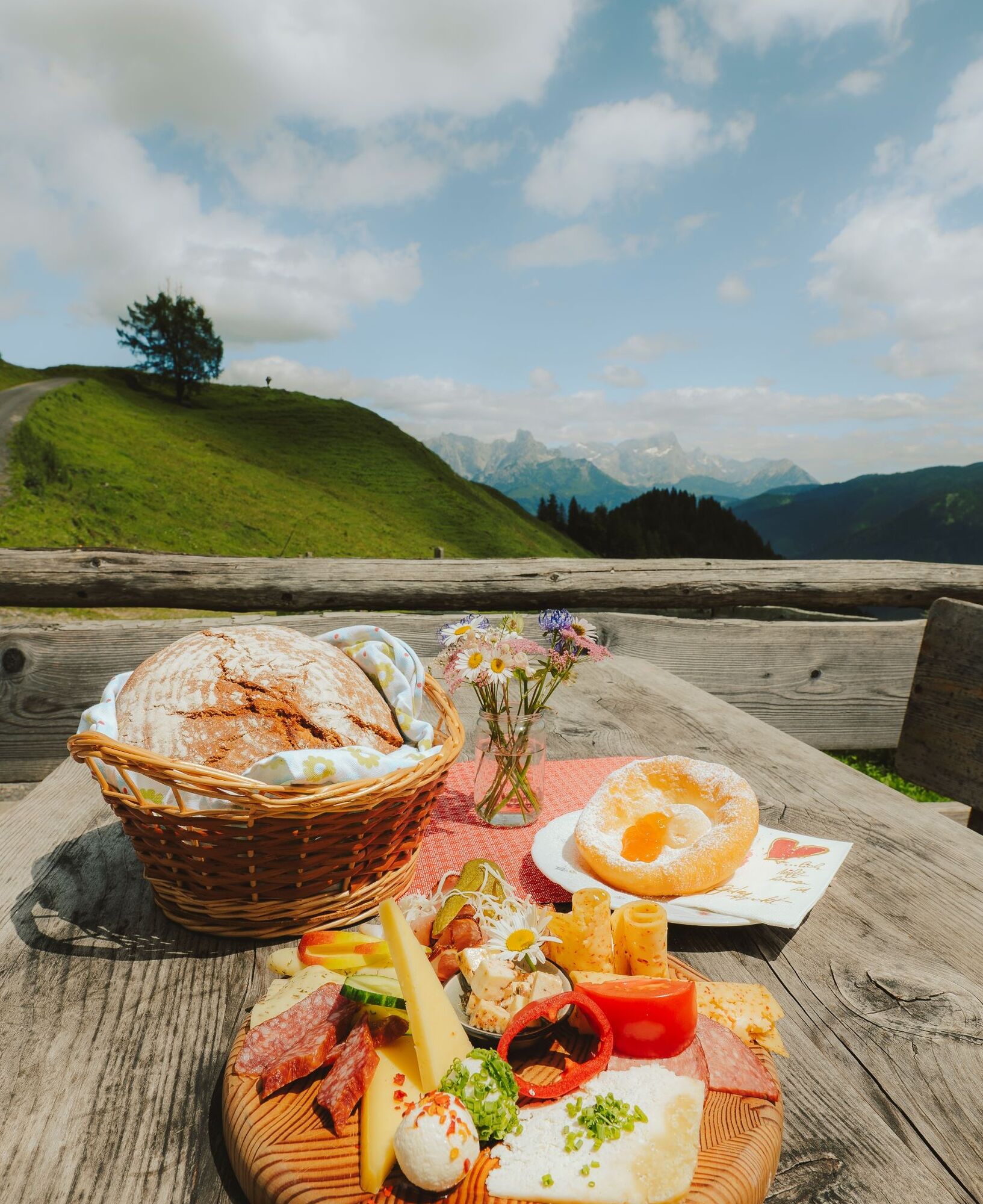

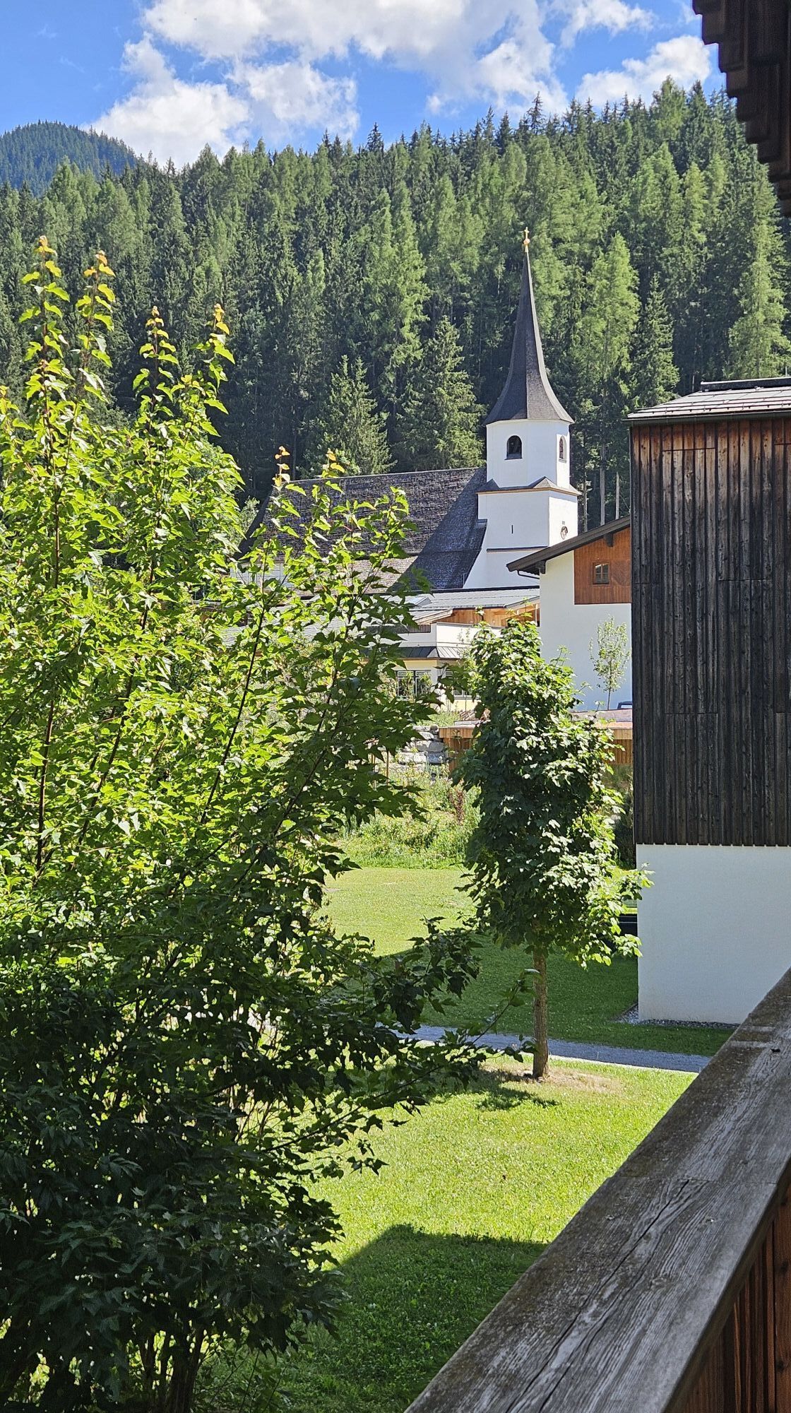
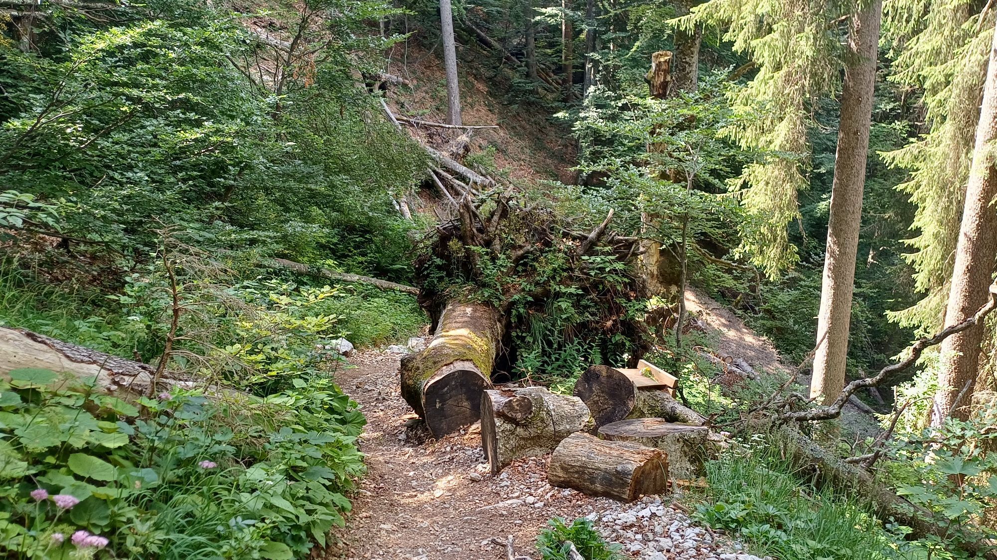
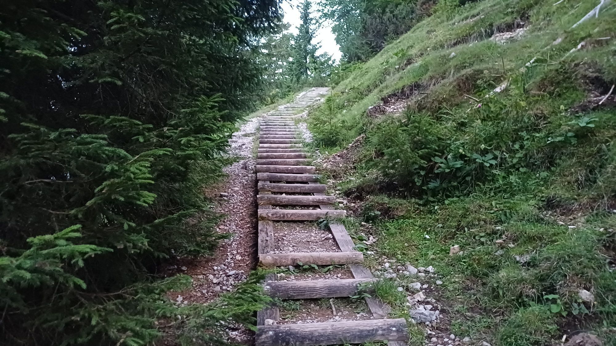
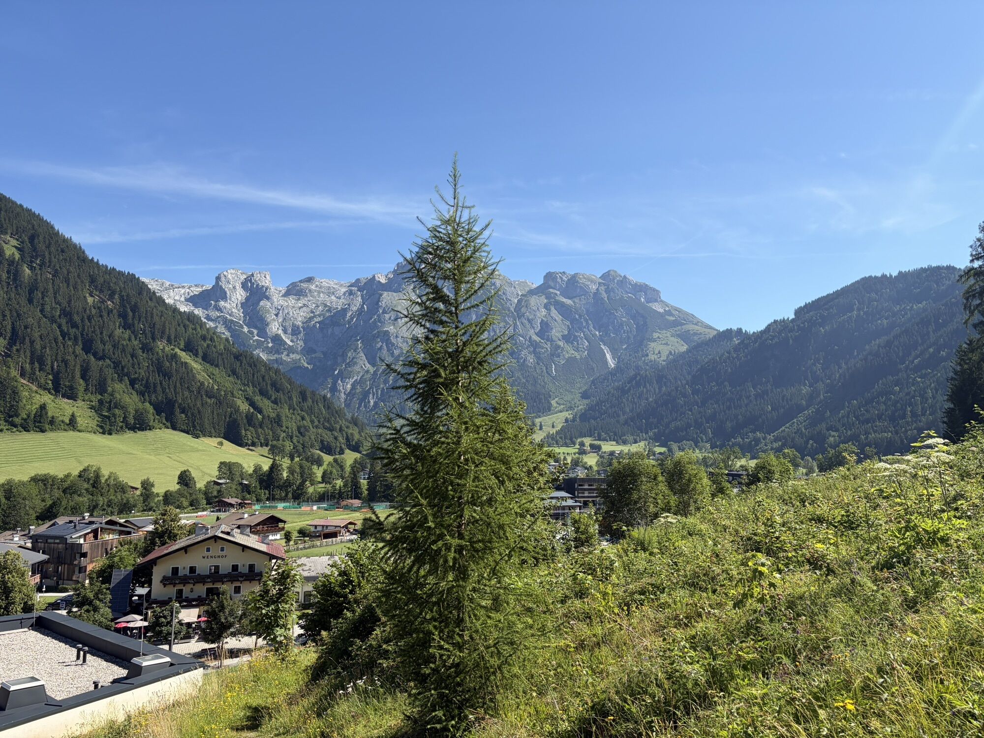
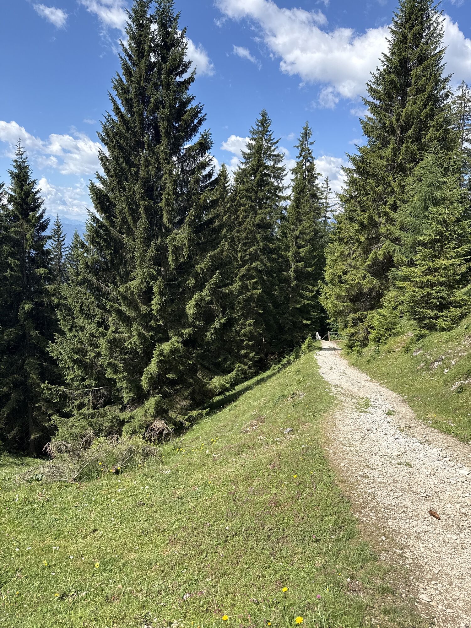
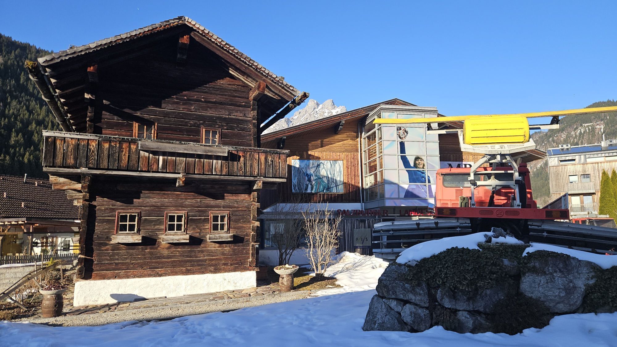
The stage start in St. Martin is directly at the church, from where the Almenweg leaves the town center via Unterbachstraße, which changes into Knablstraße, heading west. Over a short driving road and finally a footpath in the forest, it goes up to the Buttermilchalm, from where there is a magnificent view into the valley and onto the Gosaukamm. Past the alpine pasture, the access road is left immediately afterward to the left, leading onto a narrow, partly steep forest path to the unmanaged Ostermaisalm.
Here, the two left-branching hiking trails are ignored, and a more comfortable forest road continues straight ahead, crossing the northeast flank of the Korein up to a junction above the Karalm. The Karalm is a certified alpine summer hut, reachable in 5 minutes by descending to the right from the junction.
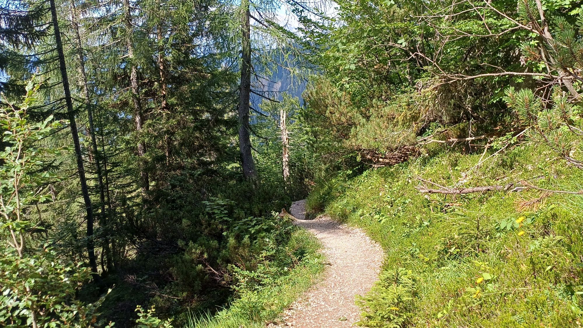
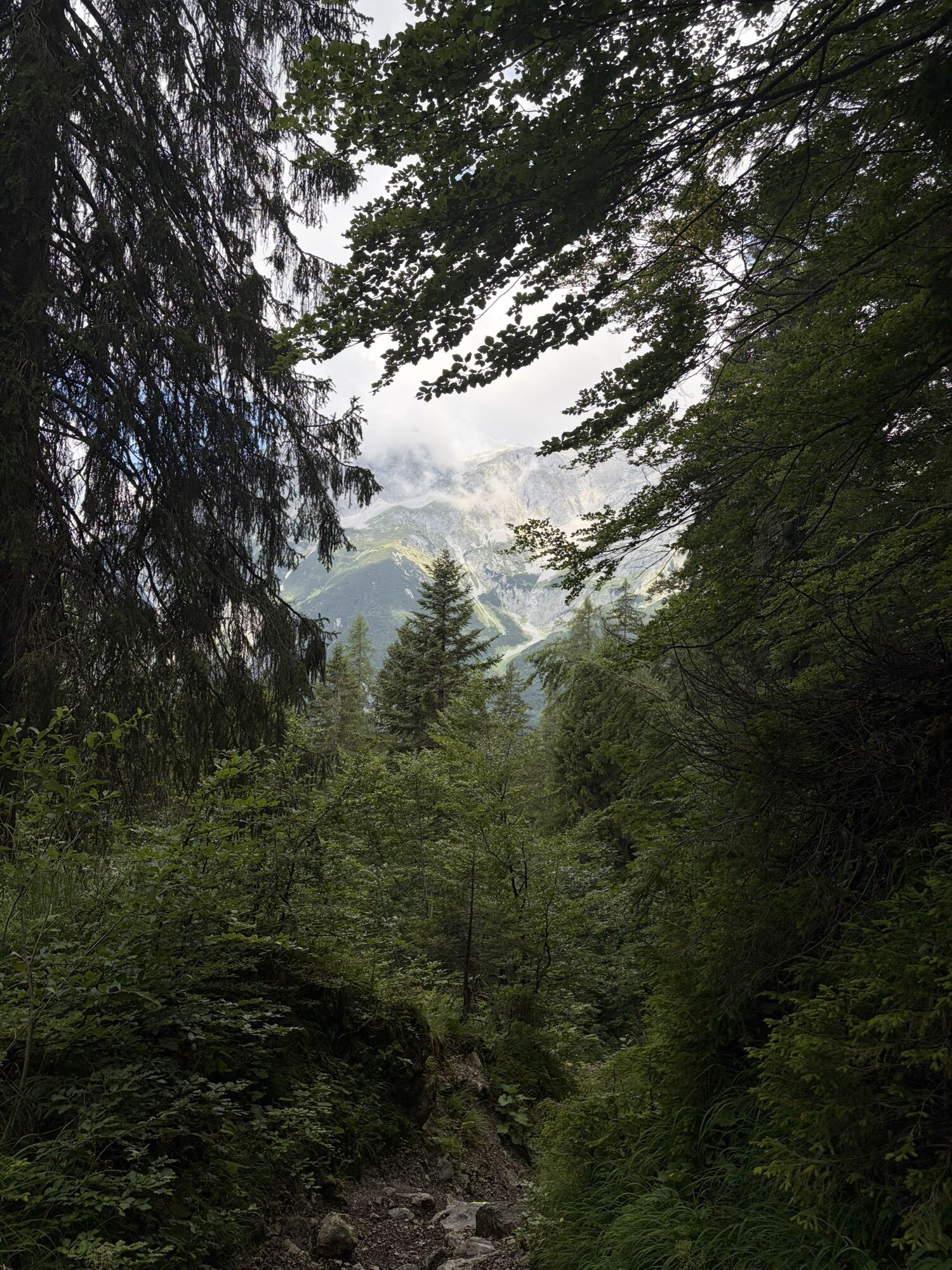
Back at the junction – coming from the Karalm – at the curve by the barrier, turn right into the forest onto hiking trail no. 94 towards Koreinalm. This partly steep section can be somewhat slippery in spring, with snow remnants or after rainfall: good footwear is absolutely necessary, poles are also helpful.
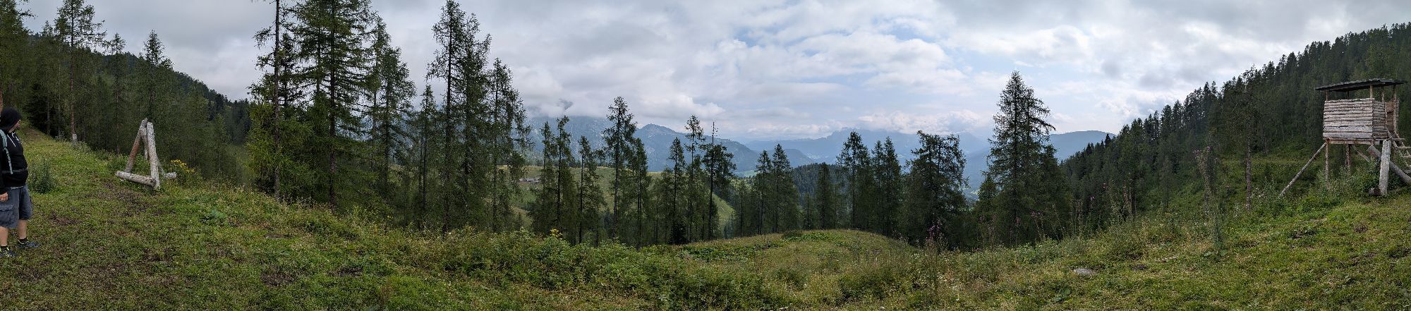
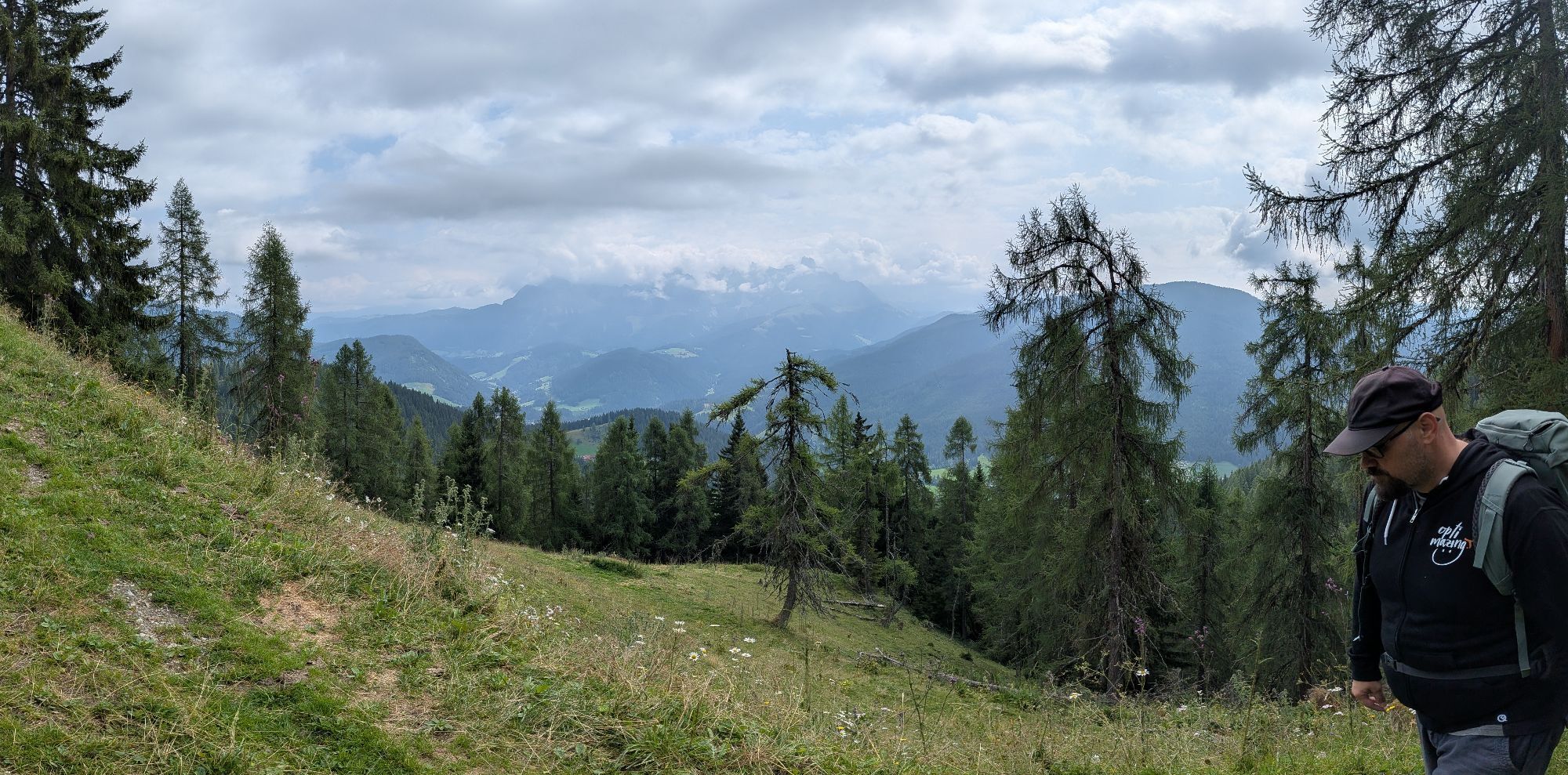
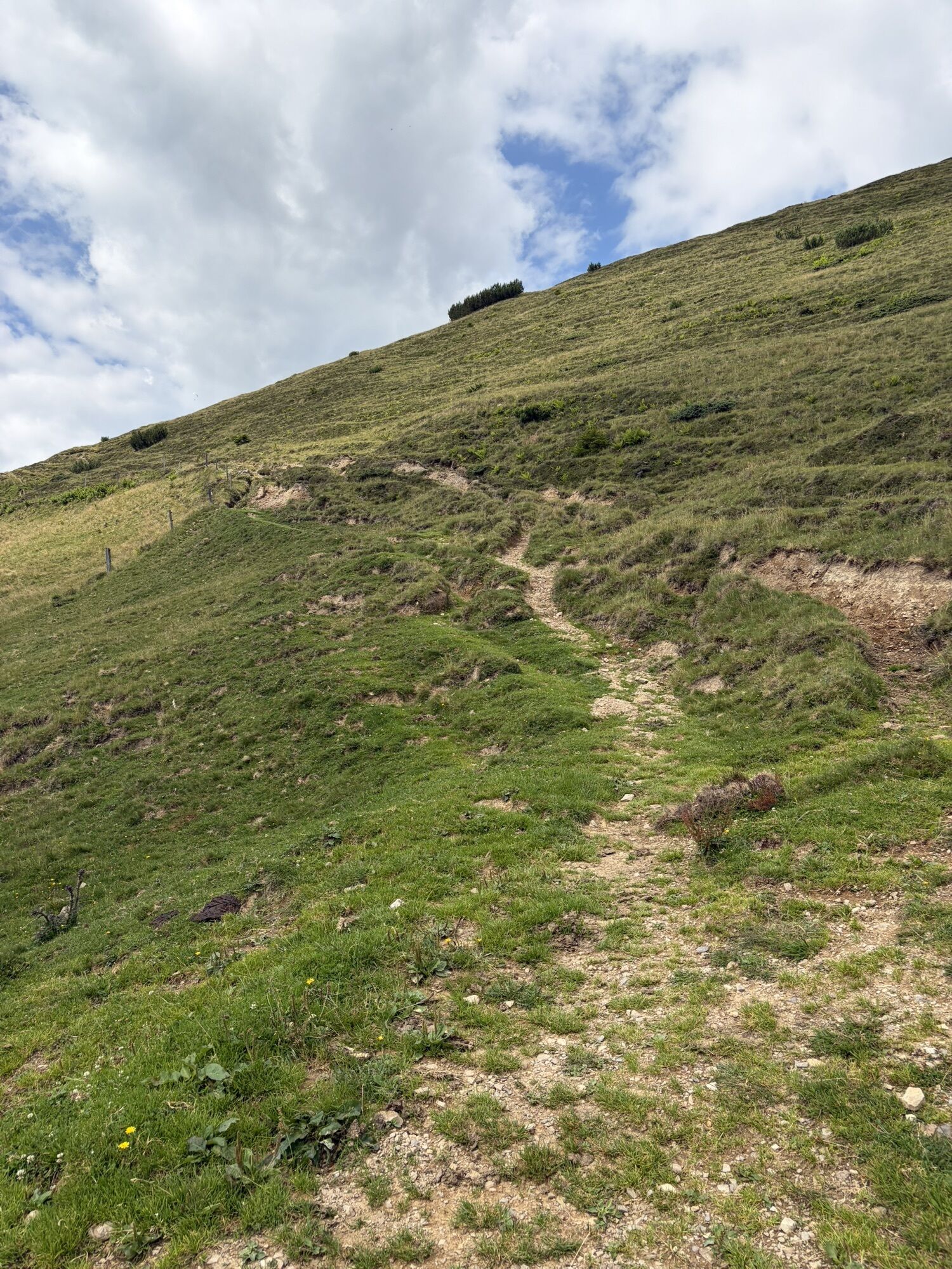
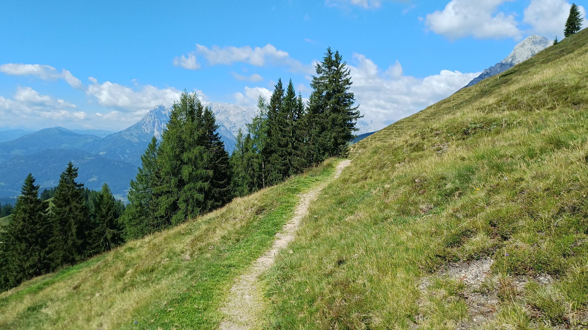
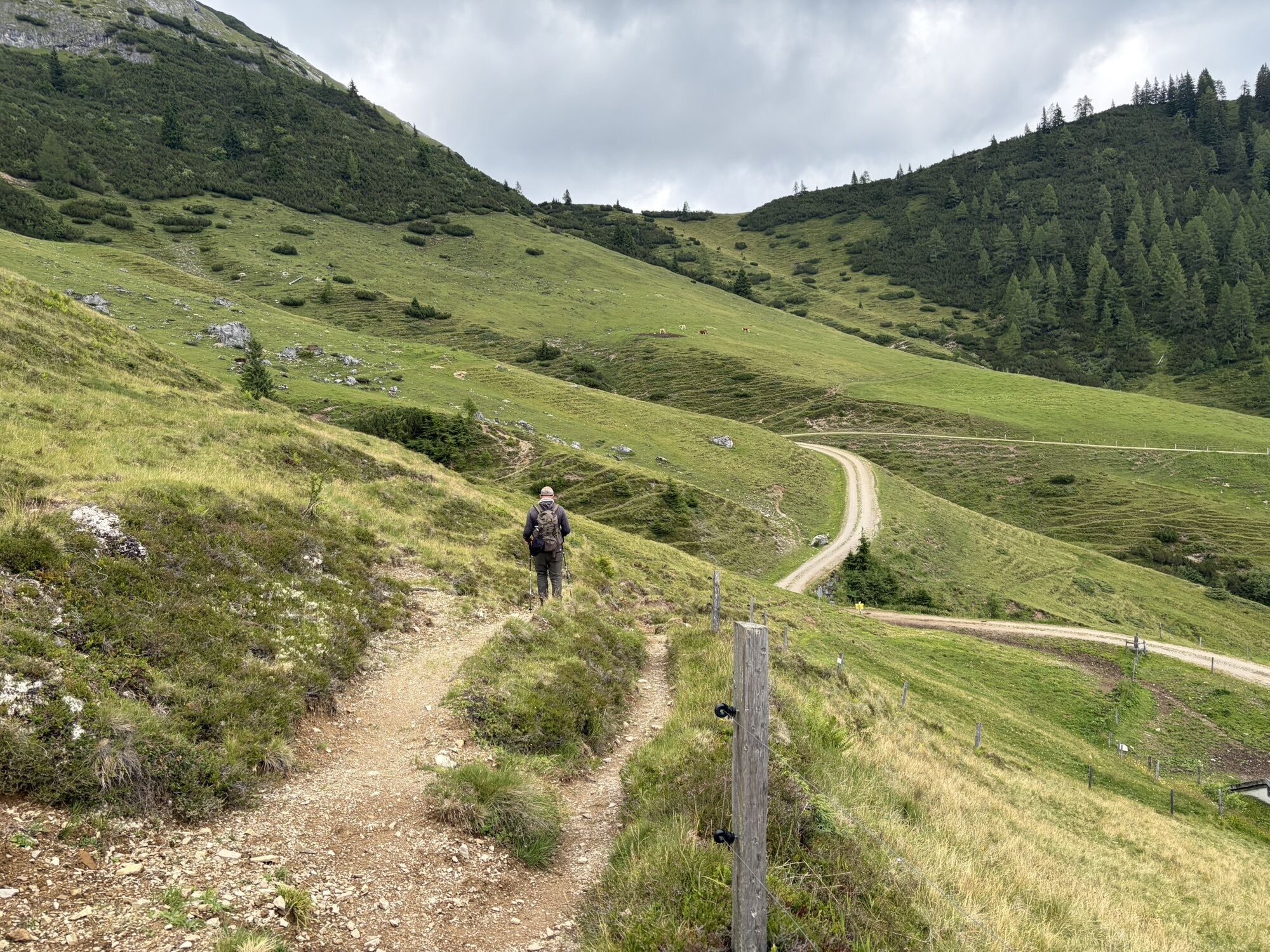
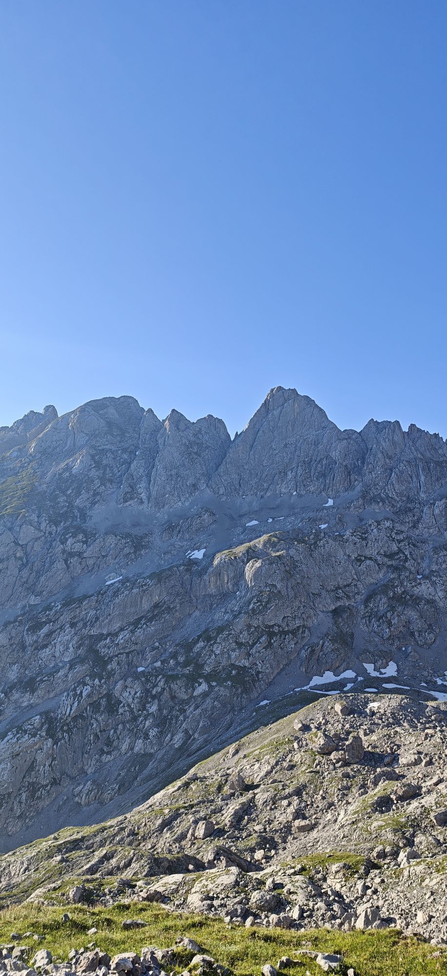
At Koreinalm, choose the right path no. 94a at the fork, which leads to Frommer Hochalm. From here, the Almenweg follows a beautiful high trail with an impressive view of the Tennengebirge, the Hochkönig, and the Hohe Tauern.
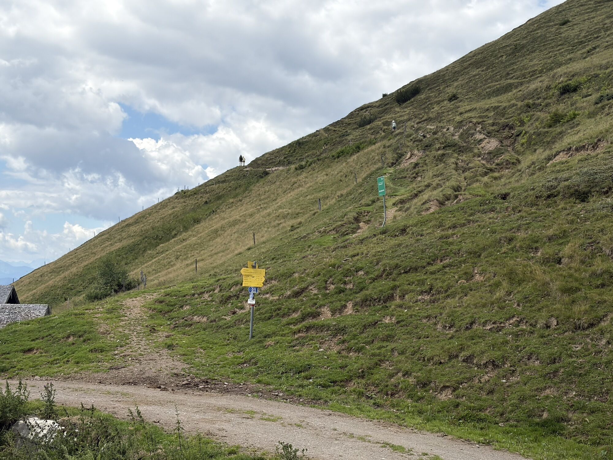
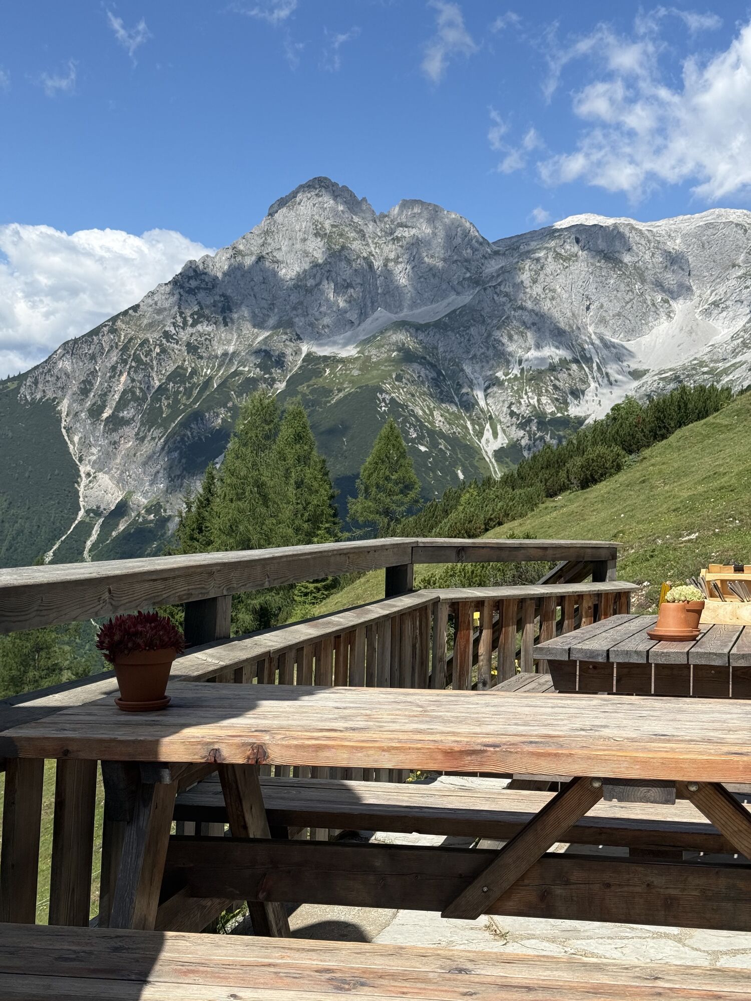
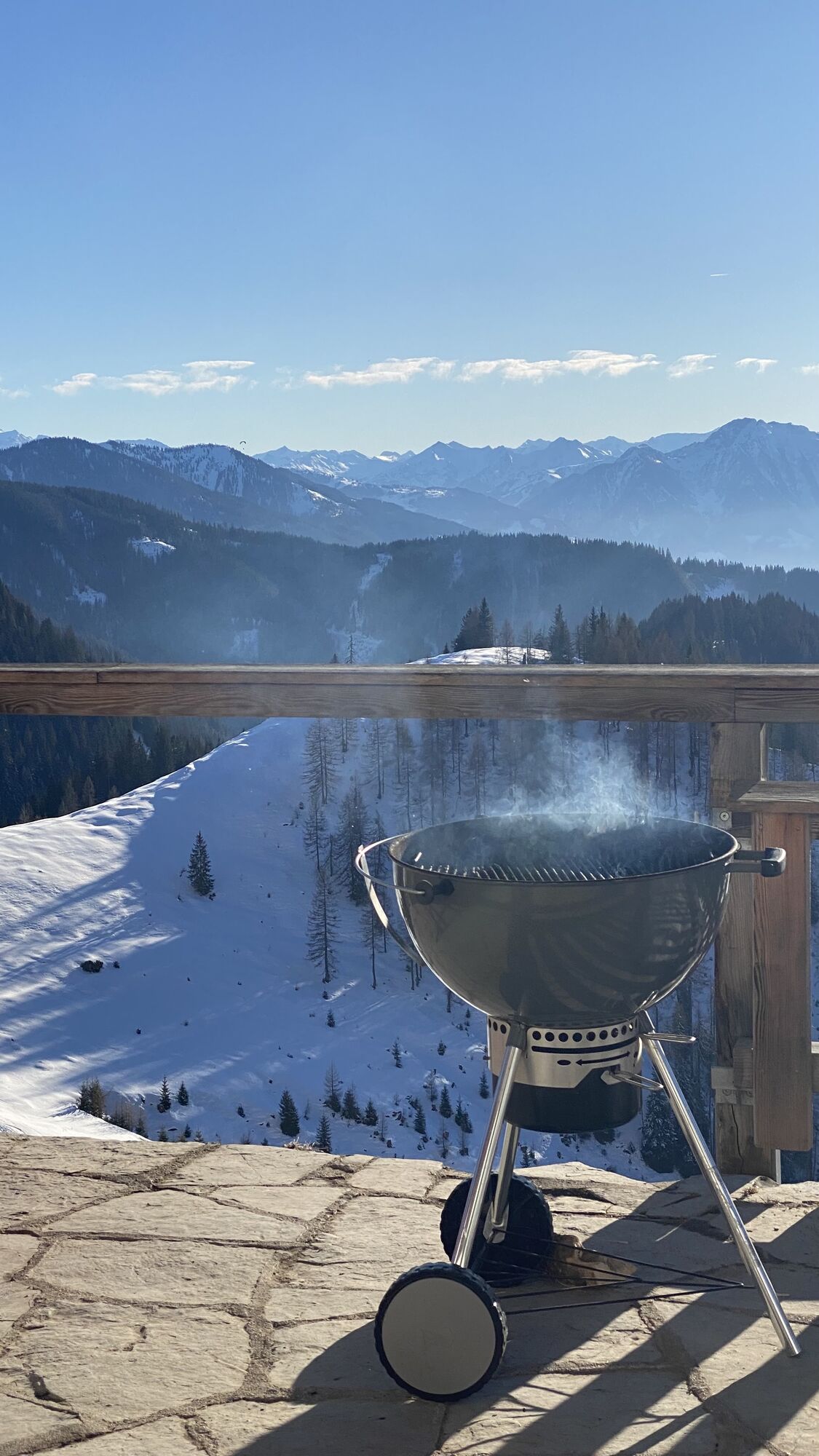
Do not be confused by the many signposts at Frommer Hochalm: the Salzburger Almenweg branches right onto the high trail 201. After more than 2 kilometers along the Brandlbergköpfe, it goes downhill again. The footpath passes above the Laubichlalm and joins forest road 51b, from where the Almenweg branches off after about 150 meters to the right into hiking trail 51. This leads about 600 meters to the Dr.-Heinrich-Hackel-Hütte. There, the hosts spoil hikers with local delicacies – in good weather on the panoramic terrace with a wonderful view of the Hochkönig.
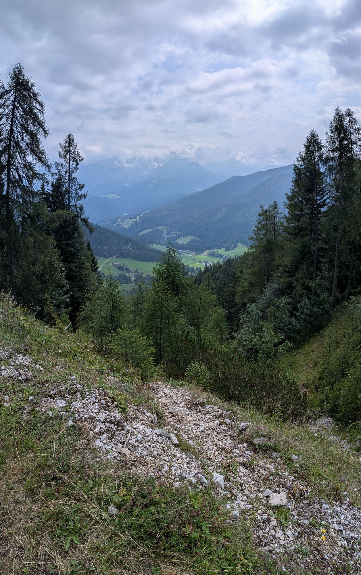
From the Dr.-Heinrich-Hackel-Hütte, the descent takes place via trail no. 51 over 550 meters altitude down to Wengerau, from where the Almenweg first follows the Wengeraustraße towards Werfenweng. After about 400 meters, a footpath branches right, running parallel downhill along the Wengeraustraße and reconnecting after about 500 meters. The Almenweg then follows the road for 150 meters and turns left onto another footpath. In a loop back to the Wengeraustraße and now finally over it to today's stage destination directly in the center of Werfenweng (892 m).
Dining (E) and accommodation options (Ü)
Various accommodation options directly in St. Martin, www.stmartin.info
Karalm (1,444 m) (about 1.5 hours) May to October, T. +43 664 135 90 81 E/Alpine summer hut
Brandstättalm (1,575 m) (about 5 hours) May to October, T. +43 664 200 51 50, note: self-catering hut, only by prior arrangement.
Söldenhütte (formerly Dr.-Heinrich-Hackel-Hütte) (1,531 m), (about 5.5 hours) May to October, T. +43 664 34 29 114 E/Ü
Numerous dining and overnight options in Werfenweng, https://www.werfenweng.eu/ E/Ü
Logispartner Salzburger Almenweg Info and booking center by Trail Angels:
Wenger Alpenhof, more information at: https://www.werfenweng-hotel.com/, T. +43 6466 20 034
Bella Grotta - Weisses Rössel, T. +43 6468 7607
Haus Biechl, more information at: https://www.haus-biechl.at/, T. +43 664 4288889
Here you will find everything about the right hiking shoe, the perfect equipment, and the correct walking technique.
To ensure your day in the mountains is truly an unforgettable experience, we give you some tips so that you stay safe in the mountains.
St. Martin is excellently accessible by public transport: By train or S-Bahn line 3, you can reach the ÖBB stop Golling-Abtenau from Salzburg main station. From there, you continue with lines 470/471 of the regional bus to St. Martin am Tennengebirge.
If you arrive by car, you can park it free of charge for a longer period in St. Martin at the bathing lake/Moaparkplatz or at the new municipal office/tourism association St. Martin. Please do not forget to display the “Salzburger Almenweg” parking disc from the brochure in your car.
T2
All further information about the Salzburger Almenweg can be found here.
The Karalm, a certified alpine summer hut, is located between Höheneggkopf (1,430 m), Frommer Kogel (1,883 m), and Hofschoberberg (1,666 m) amid an extensive alpine landscape. Here it means: enjoy with a magnificent view.


Webové kamery z prehliadky
-
Bischling
-
Sankt Martin - Hotel Martinerhof
-
Pfarrwerfen Feratel
-
Talstation 8 EUB
-
Pfarrwerfen
-
Bischling
-
Lungötz - Berghof Wildau
-
Lungötz - Berghotel Lämmerhof
-
Hackelhütte
-
Pfarrwerfen, Eulersberg
-
Schnapfenriedl
-
Rosnerköpfl
-
Rosnerköpfl
-
Rosnerköpfl
-
Rosnerköpfl
-
Rosnerköpfl
-
Rosnerköpfl
-
Rosnerköpfl
-
Werfenweng - Droi


Obľúbené výlety v okolí
-
4,7
Werfenweng Mountainbikerunde Söldenhütte
strednáMountainbike 18,8 km -
4,8
Tour around the Gosaukamm
strednáTuristika 20,9 km -
4,8
Gerzkopf
strednáTuristika 8,43 km -
4,7
Mühlenweg und Winnerfall Scheffau am Tennengebirge
strednáTuristika 4,79 km -
4,7
Donnerkogel vom Gosausee mit Intersport Klettersteig C/D und Himmelsleiter
ťažkéVia ferrata 7,70 km -
4,7
Wengerau - Tauernkogel - Eiskogel - Napf - Wengerau
strednáVysoké turné 15,5 km -
4,0
To the Ostpreussenhütte
strednáTuristika 16,6 km -
4,8
Rossbrand über Bürgerbergalm (462)
Turistika 10,8 km -
4,7
From the lake Gosau to the Zwieselalm
ťažkéTuristika 3,07 km -
4,1
Filzmoos: Roßbrand
Turistika 11,8 km
Turistika a stopovanie


Nenechajte si ujsť ponuky a inšpiráciu na ďalšiu dovolenku
Vaša e-mailová adresa bol pridaný do poštového zoznamu.





