







Rauris: Wörth - Hochtor - Pack animal route No. 114
Úroveň náročnosti: T2
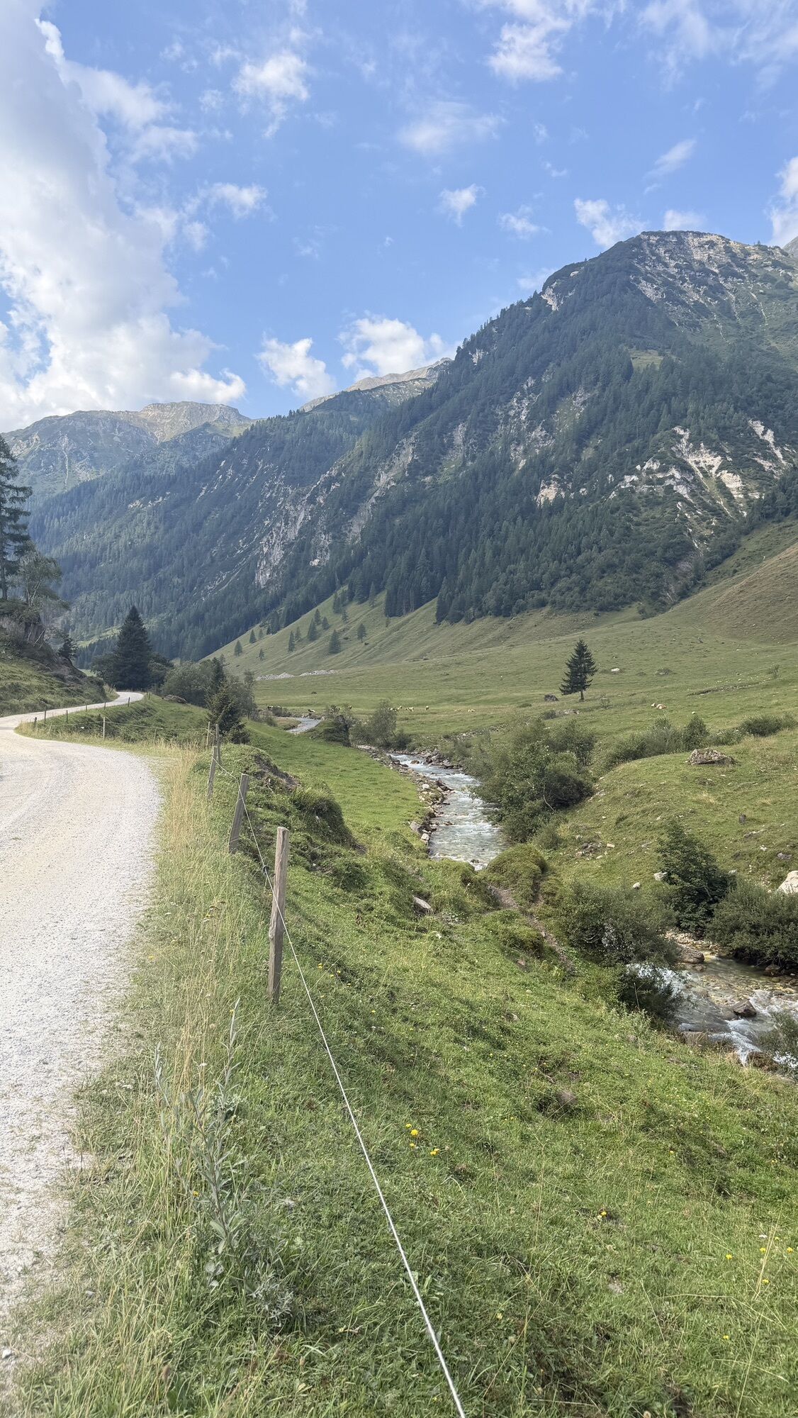
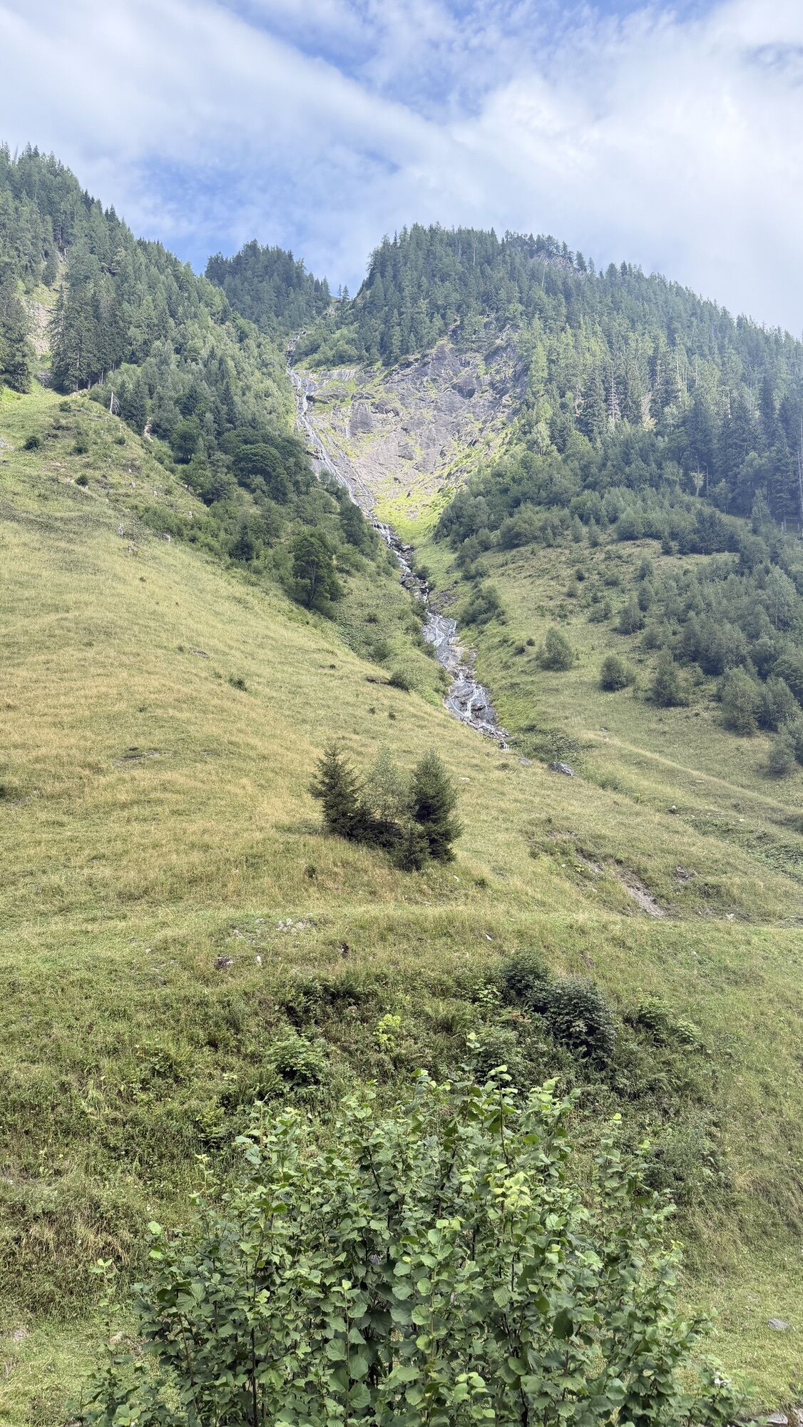
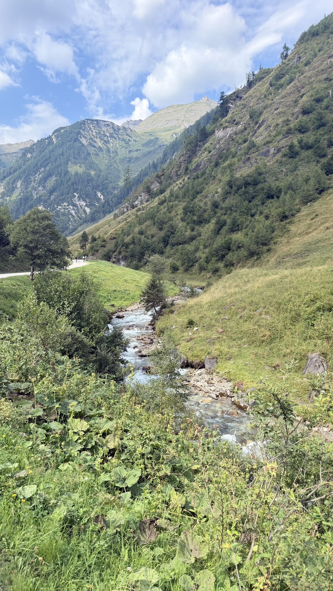
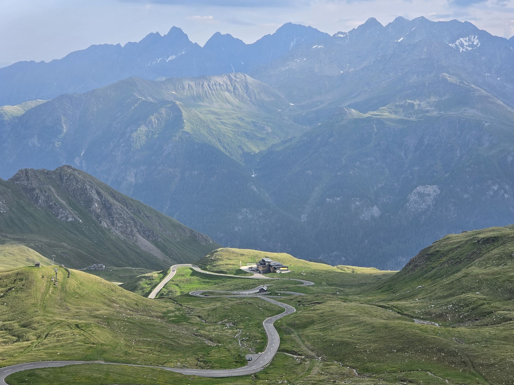
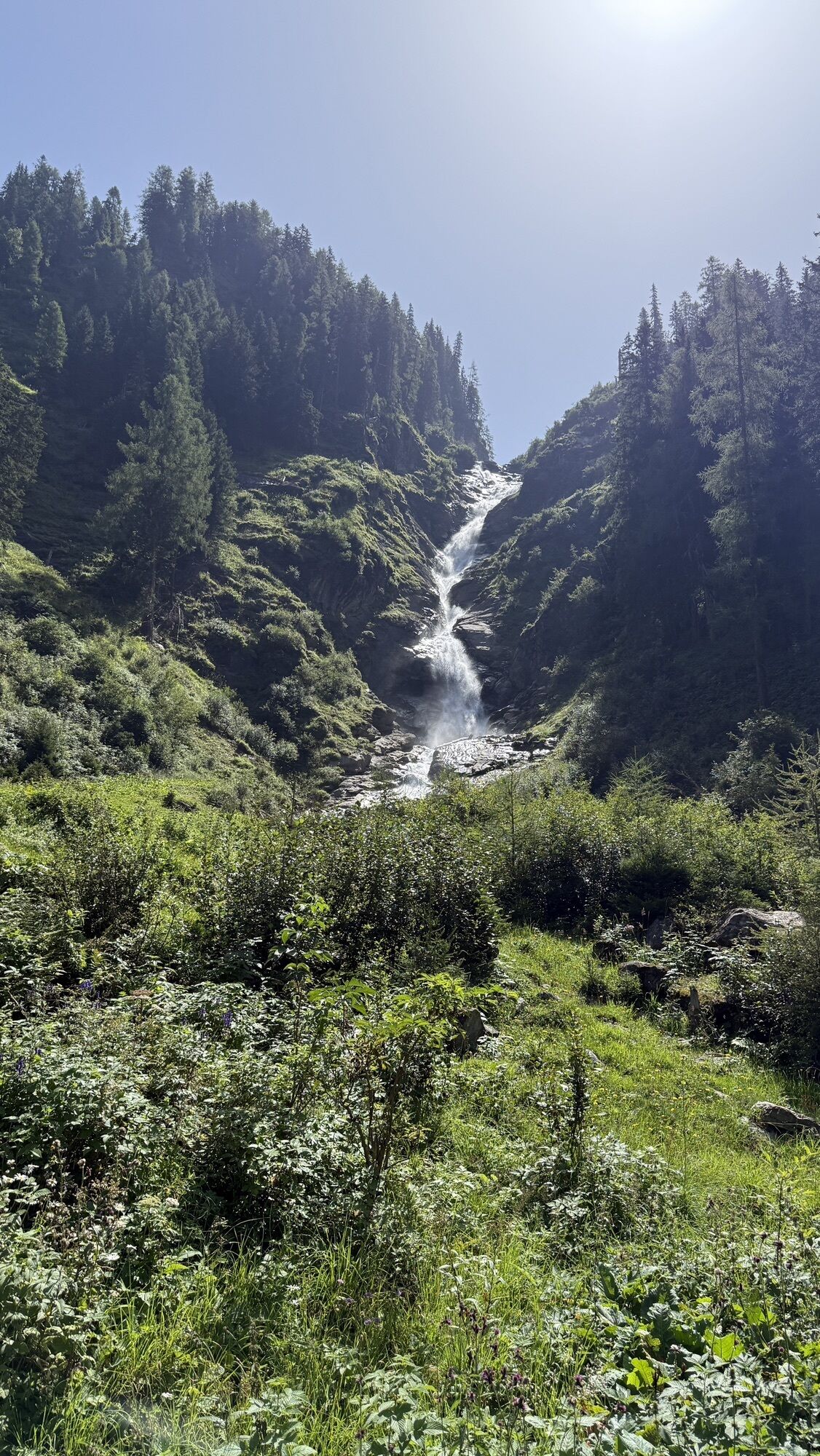
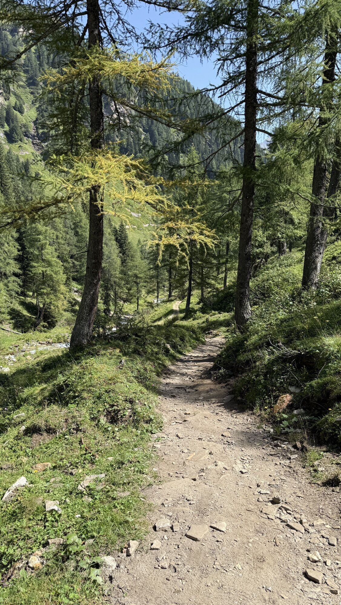
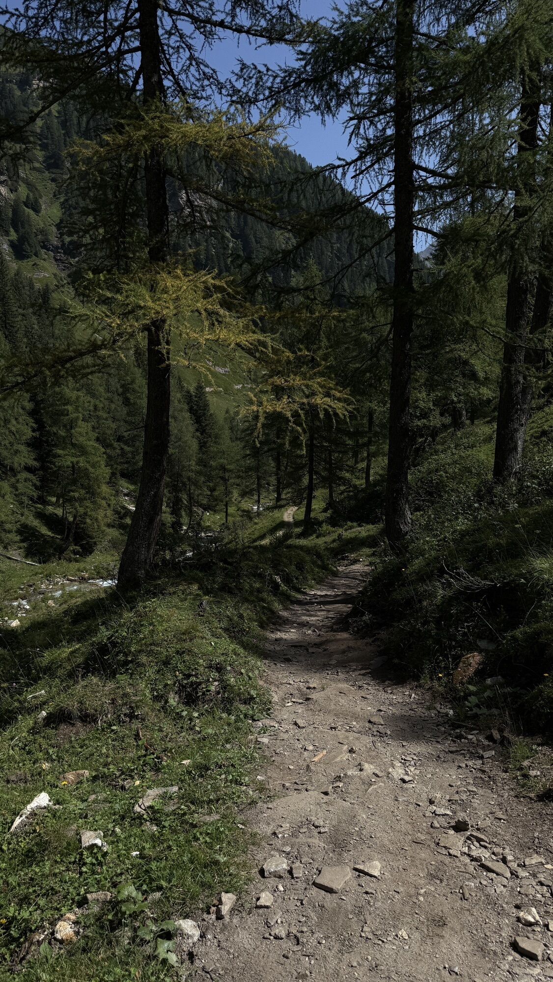
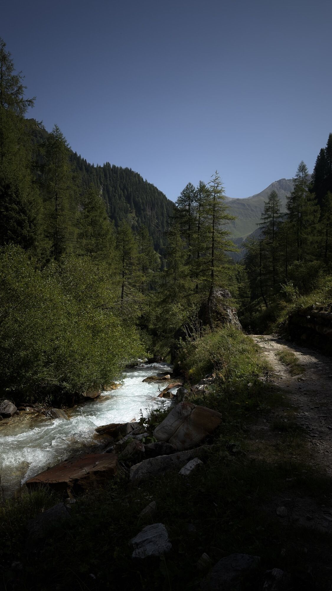
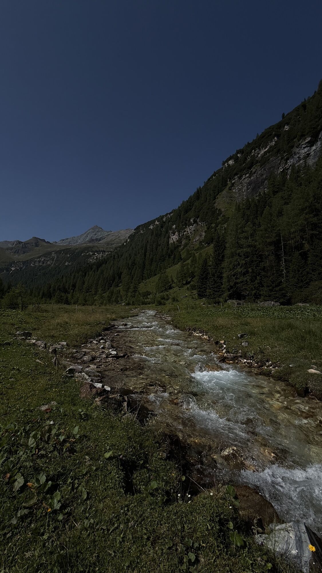
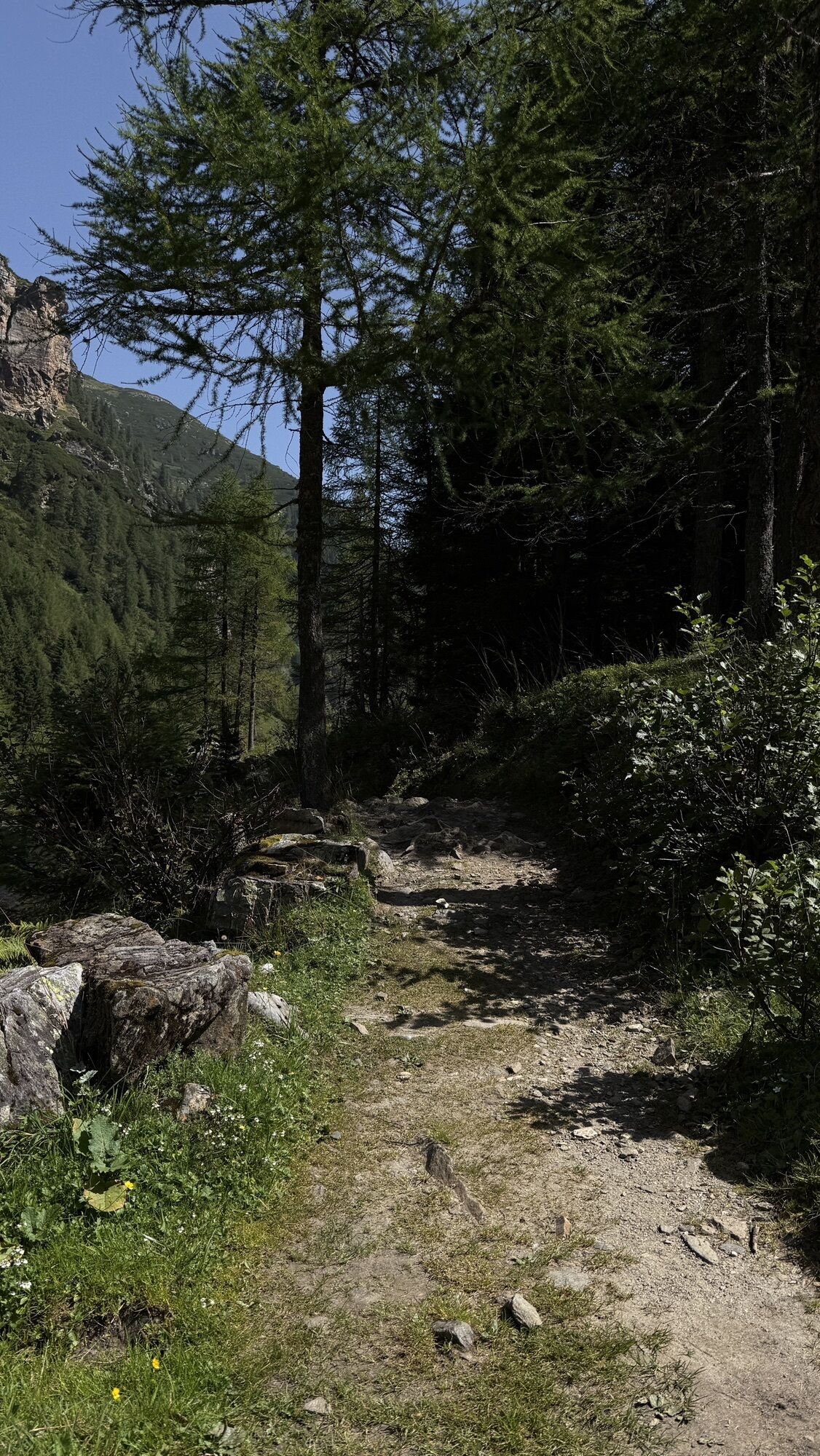
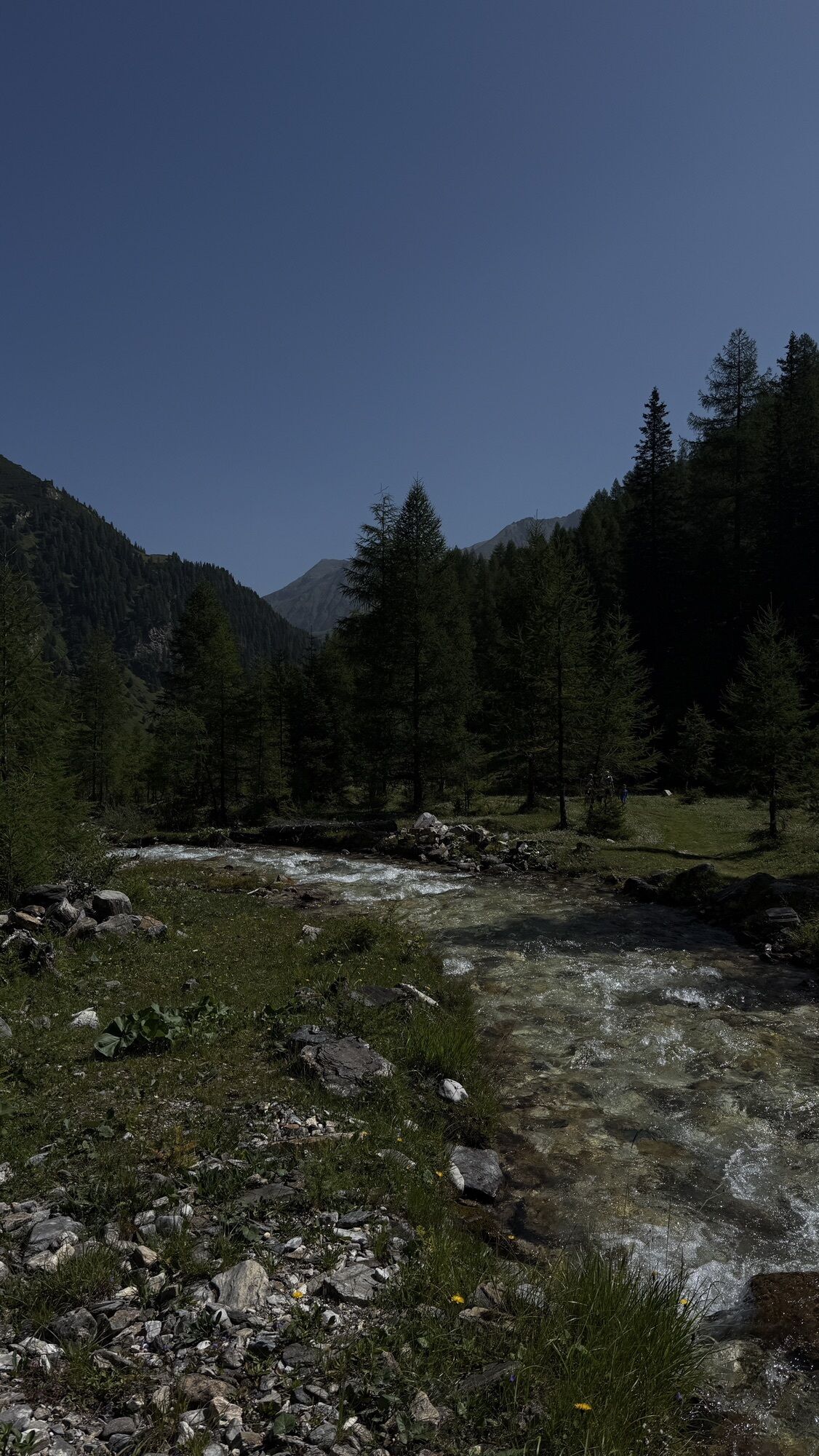
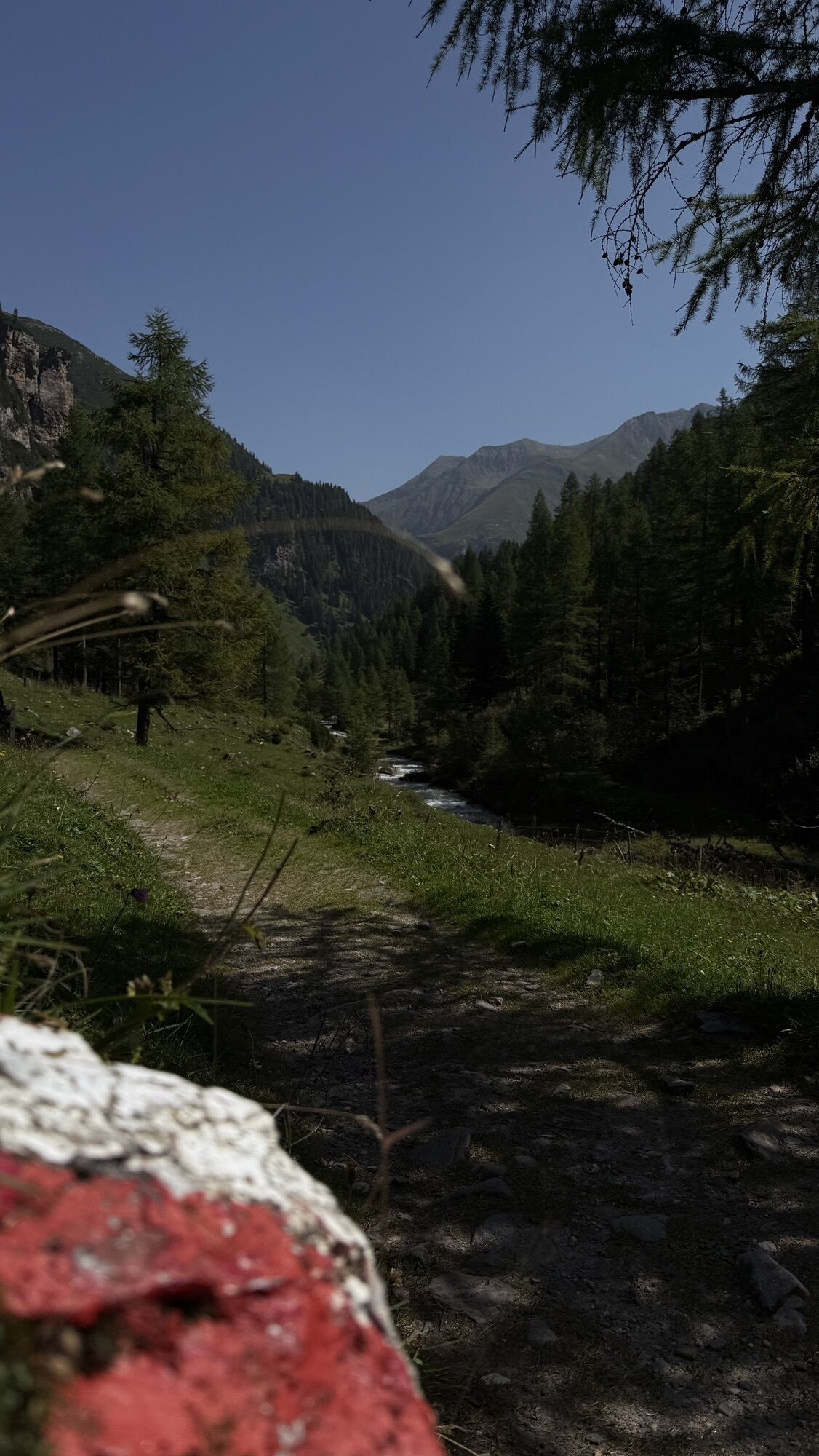
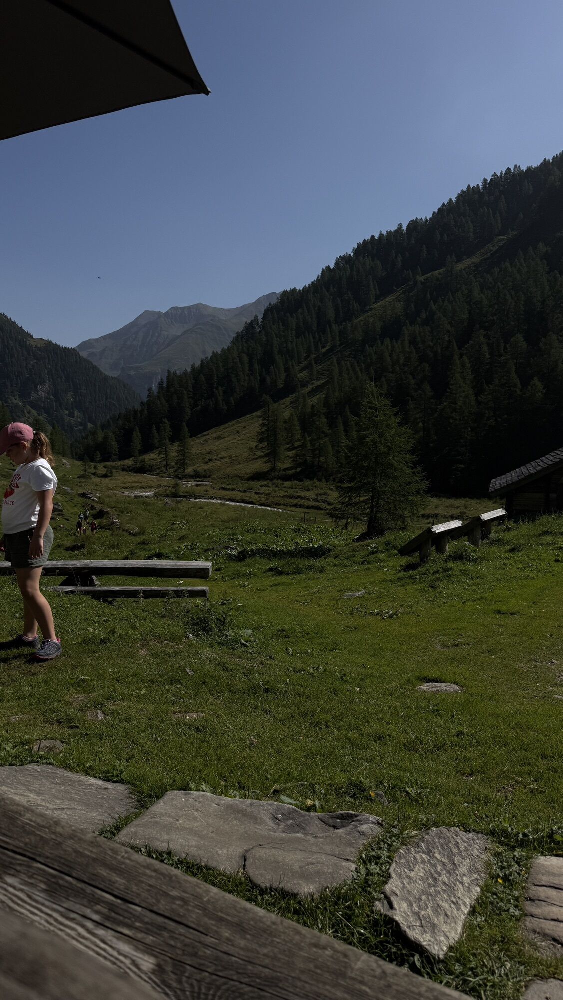
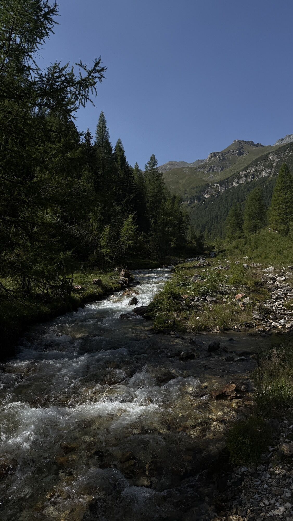
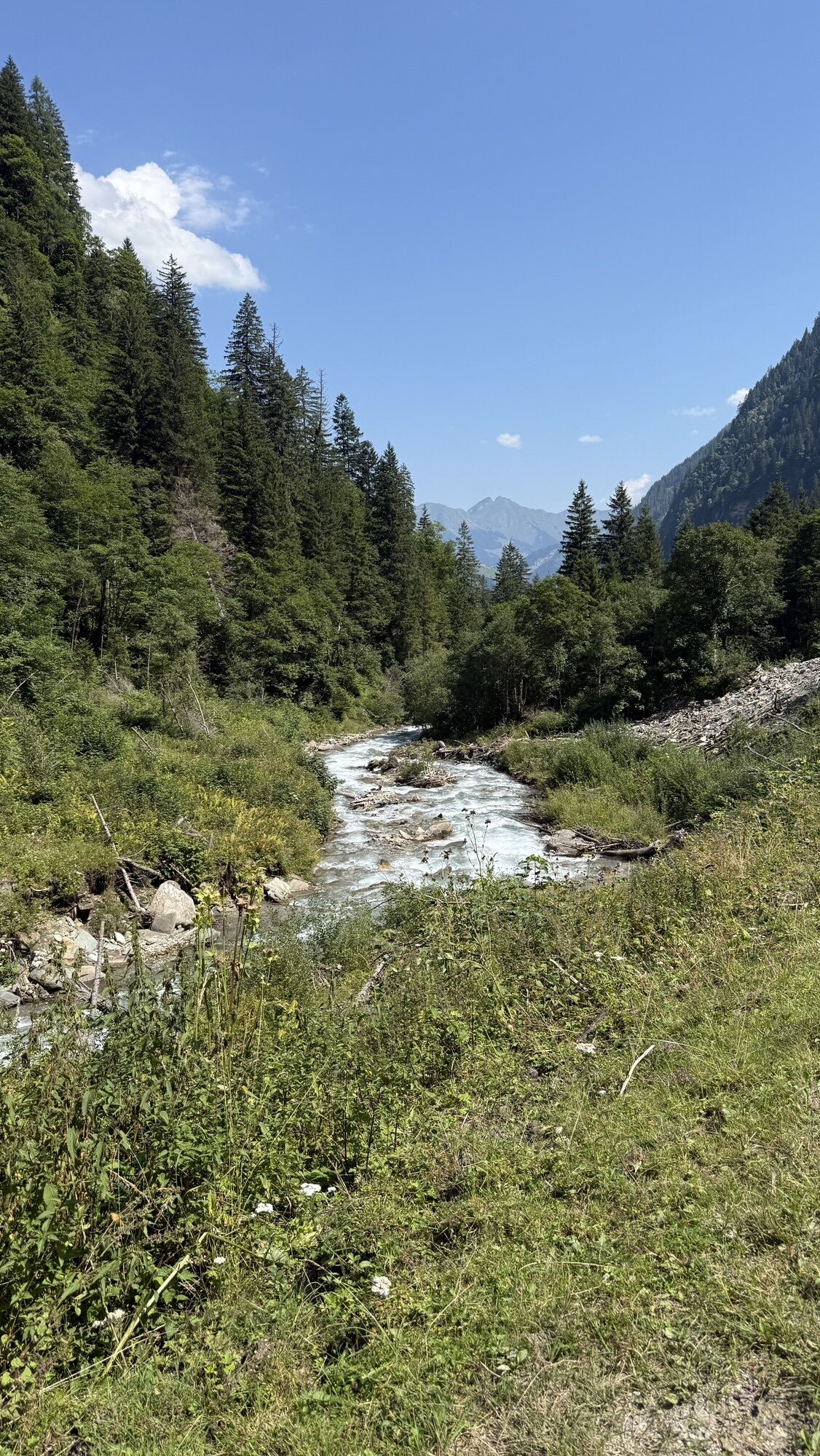
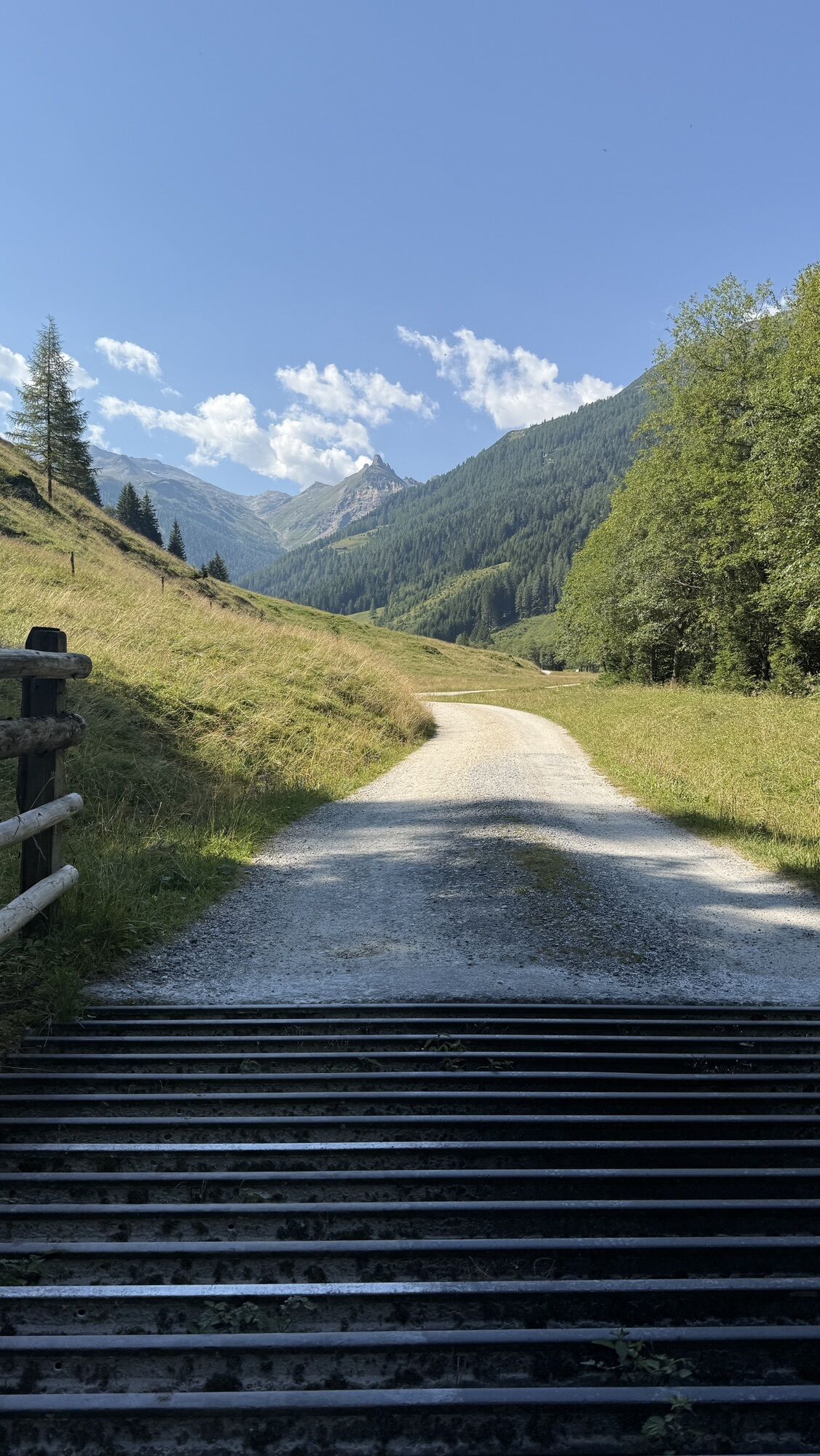
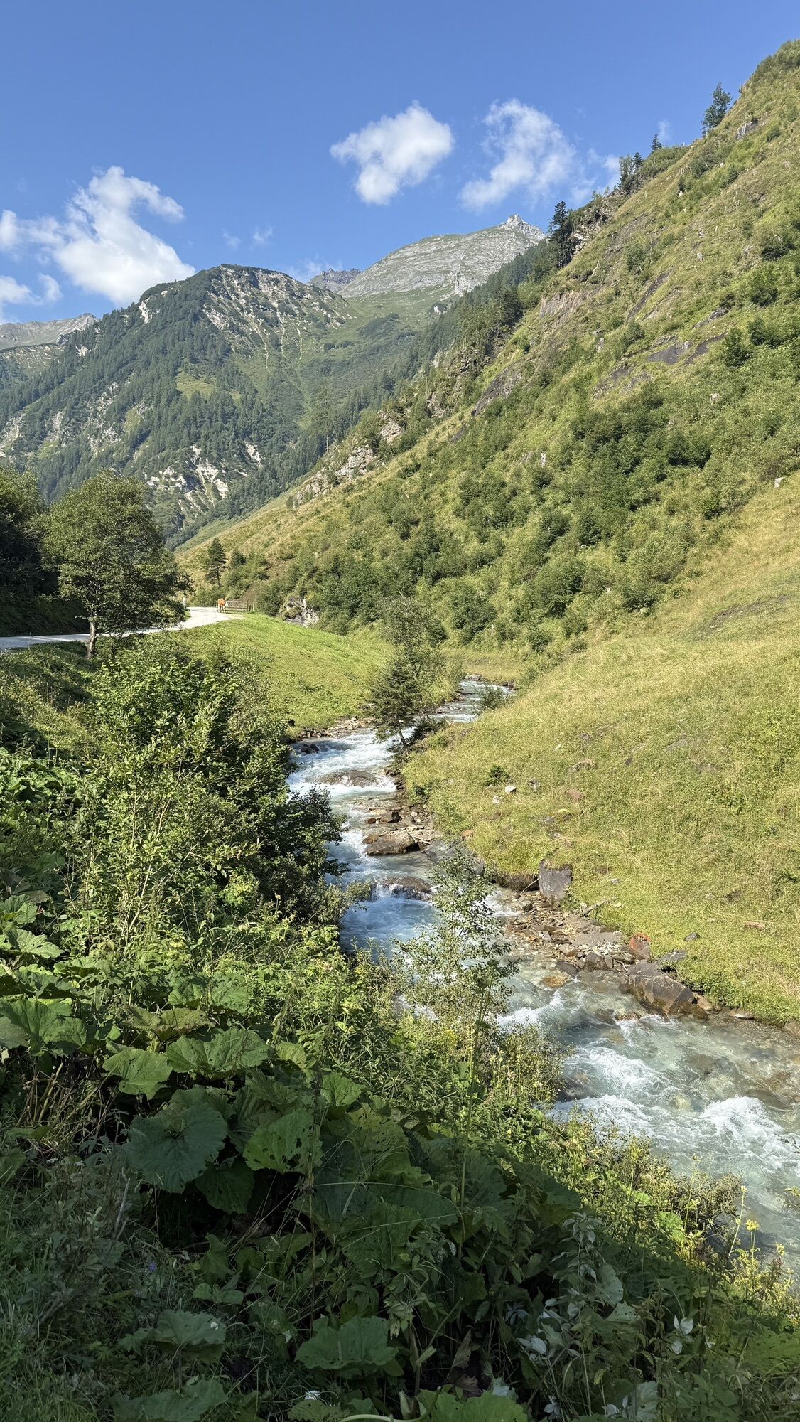
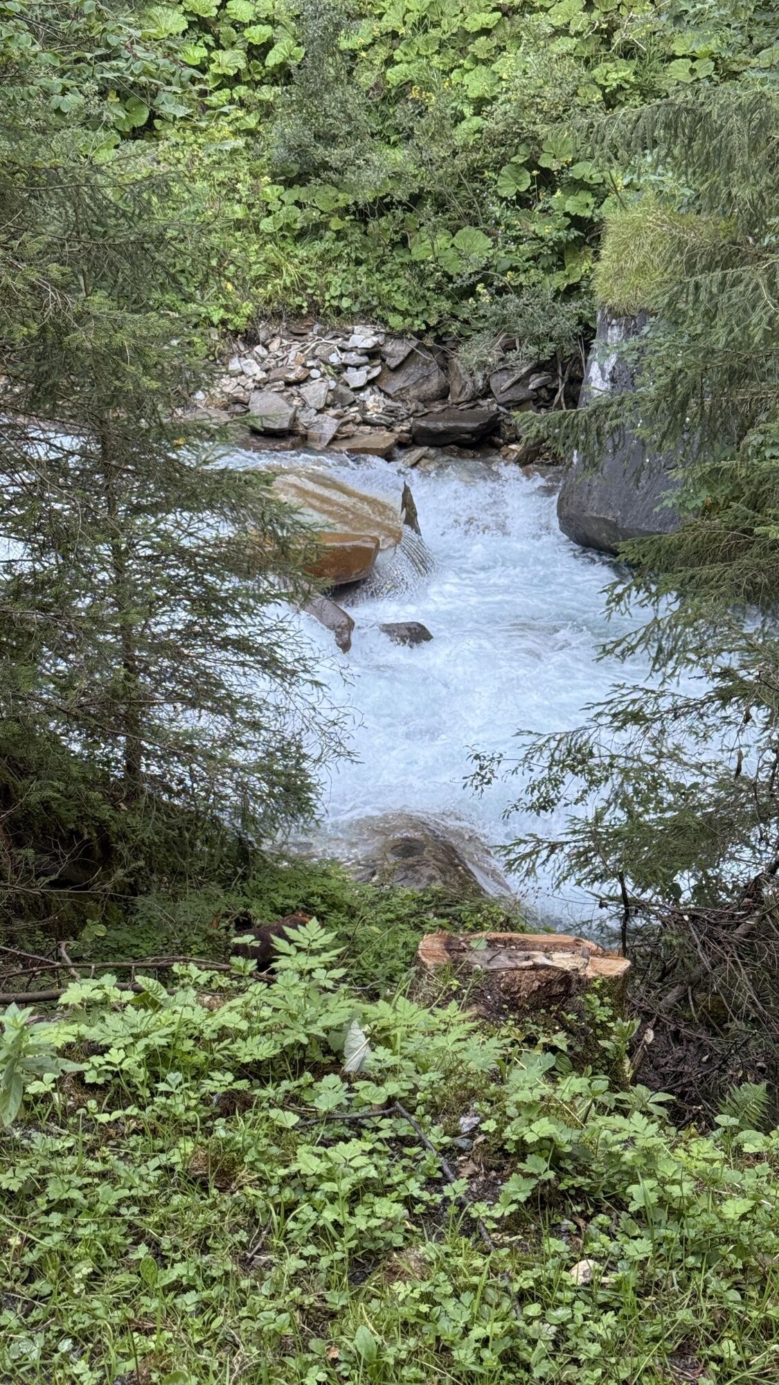
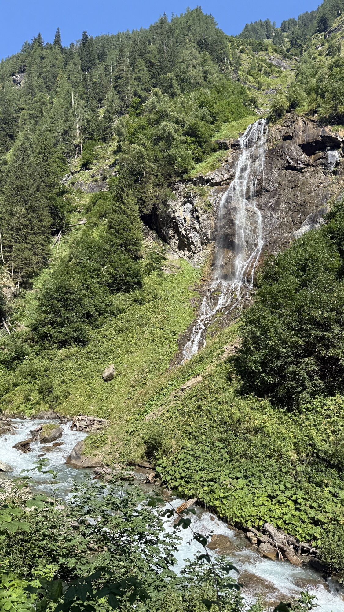
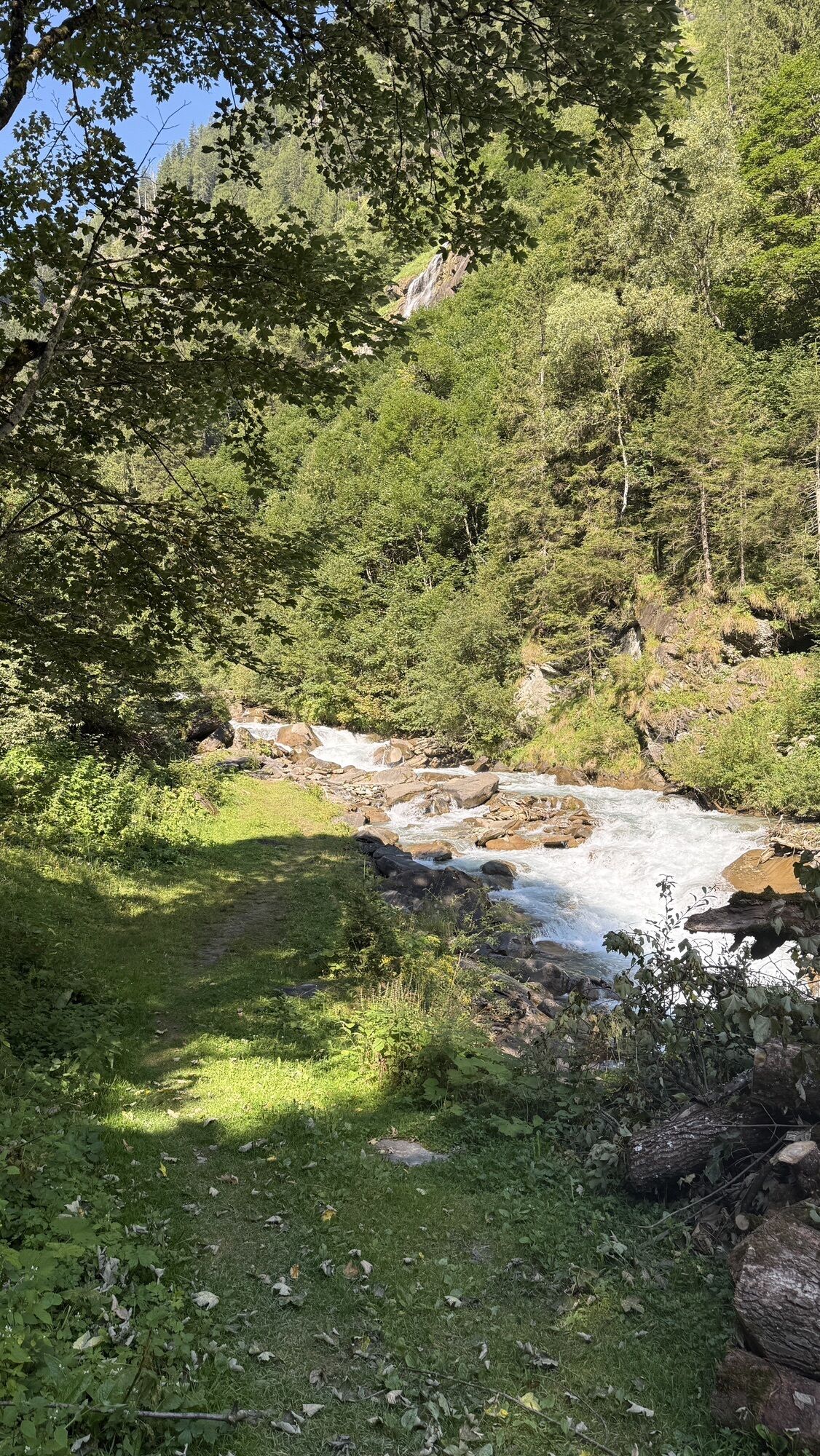
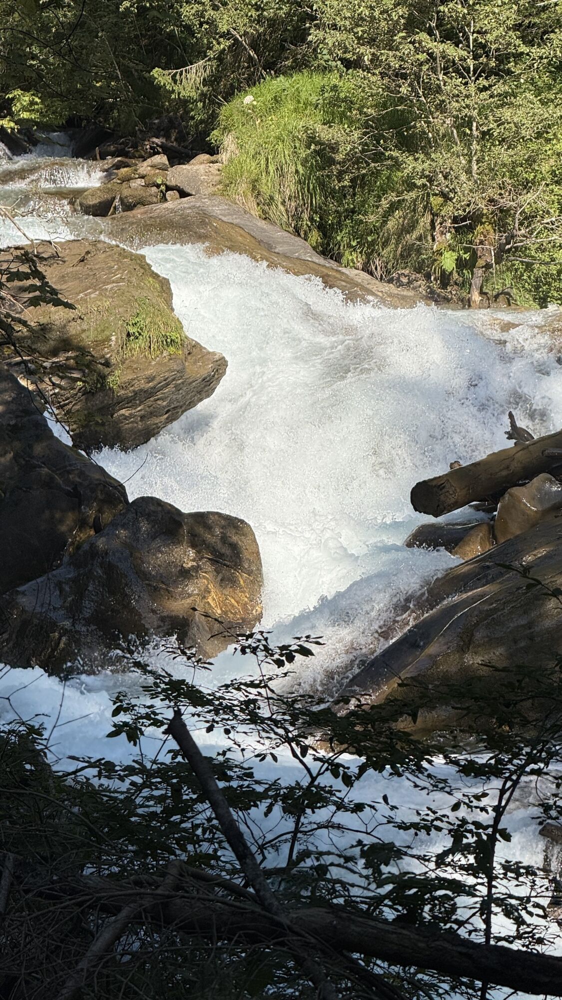
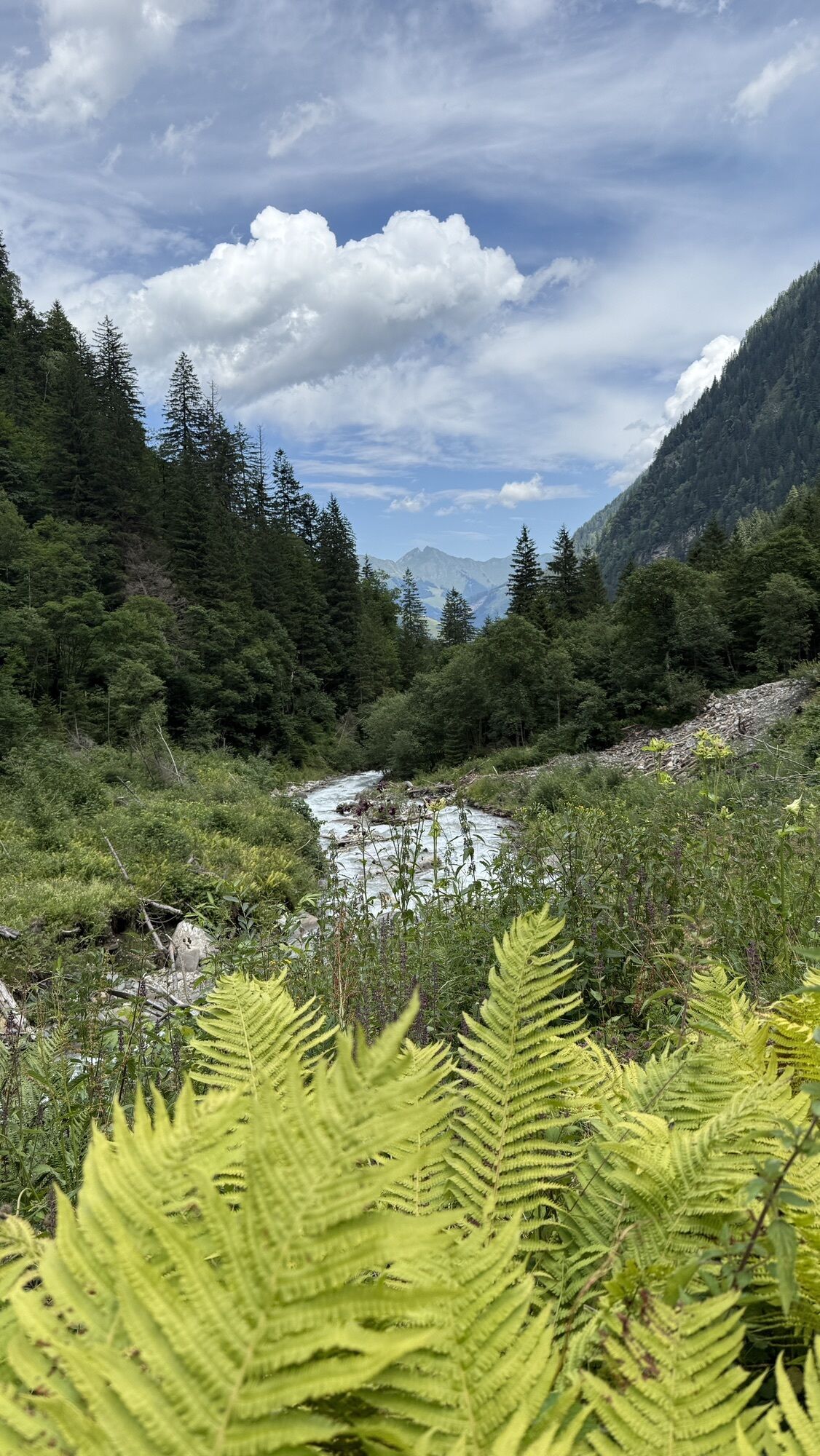
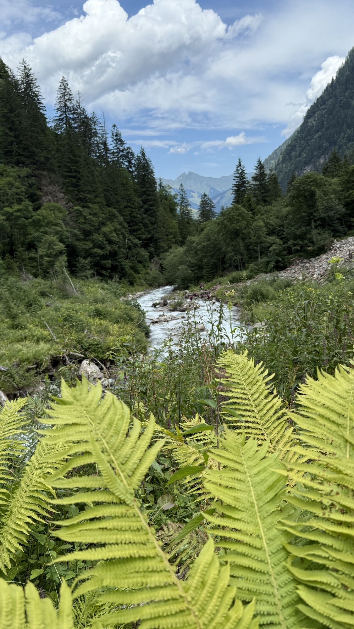
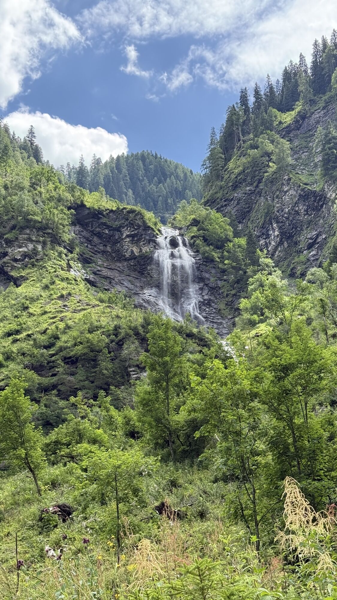
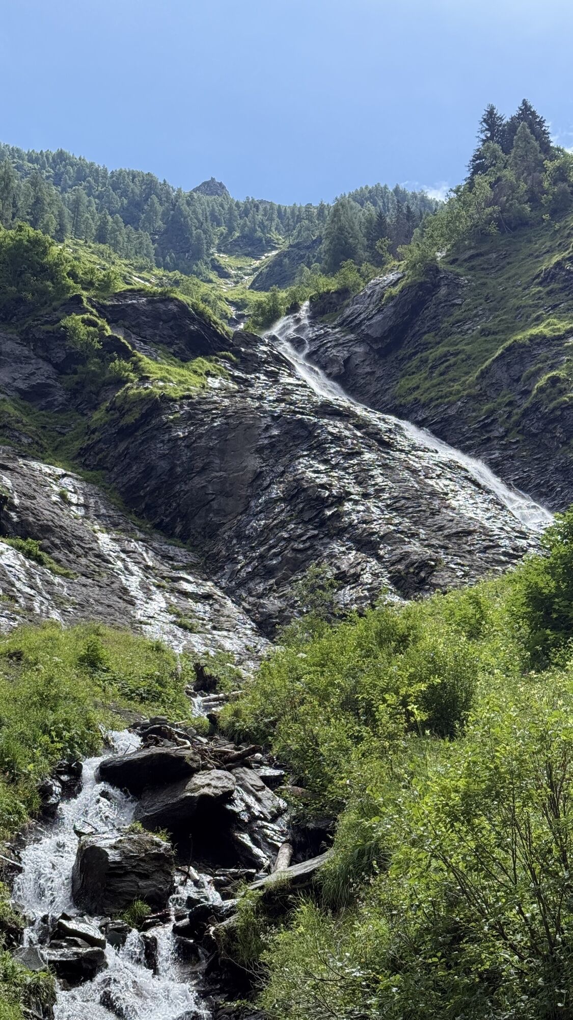
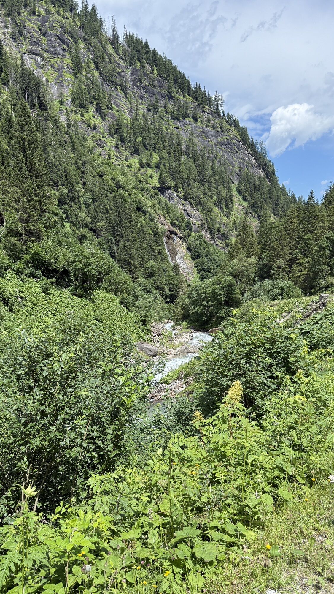

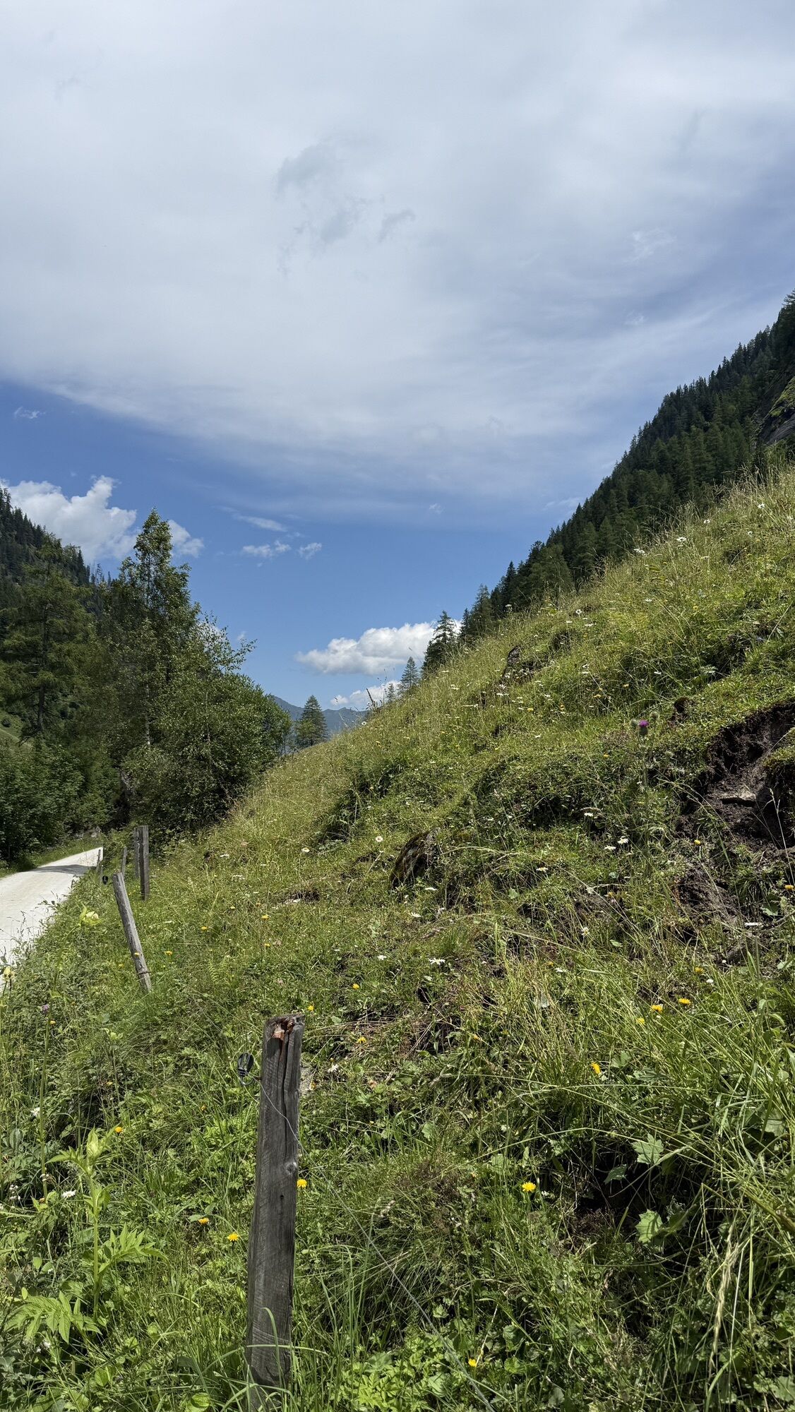
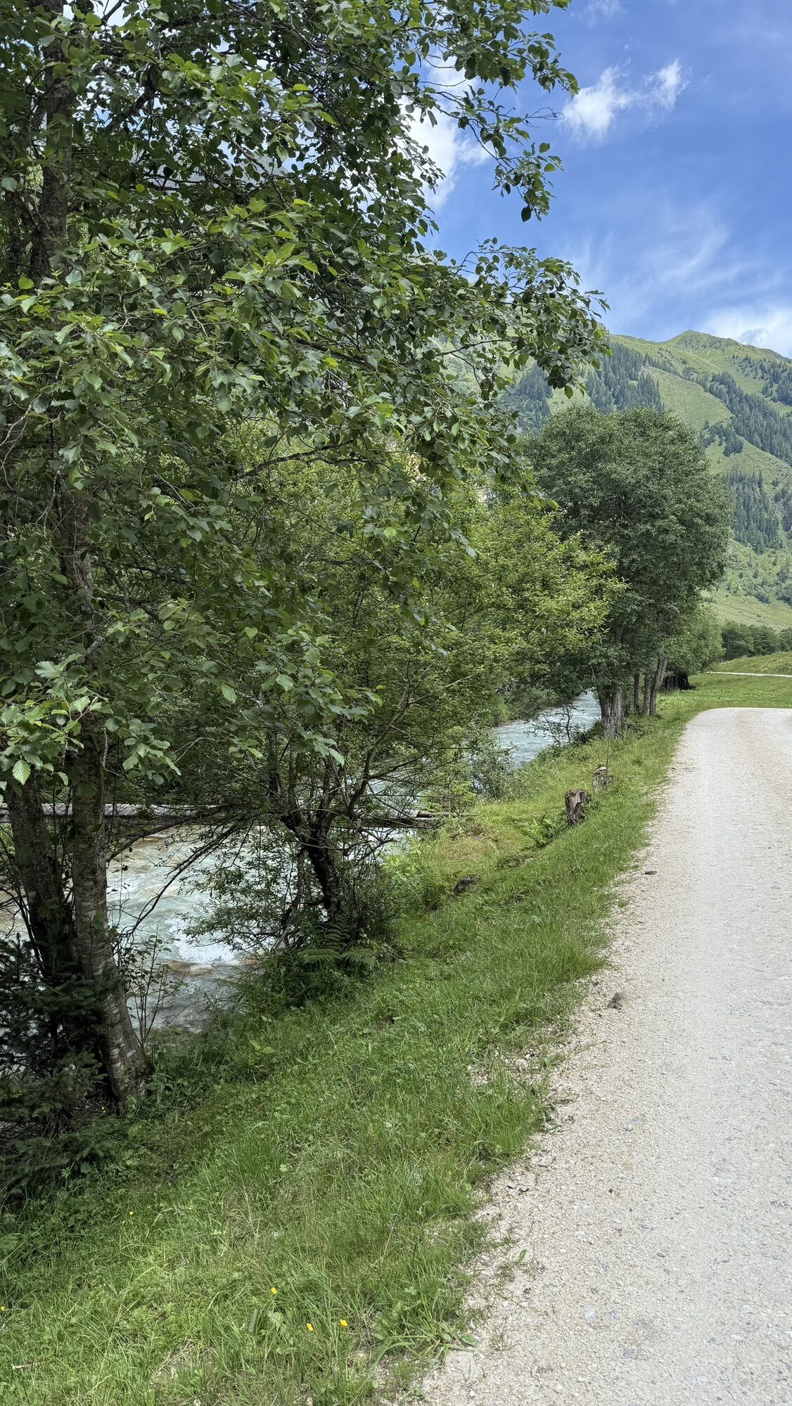
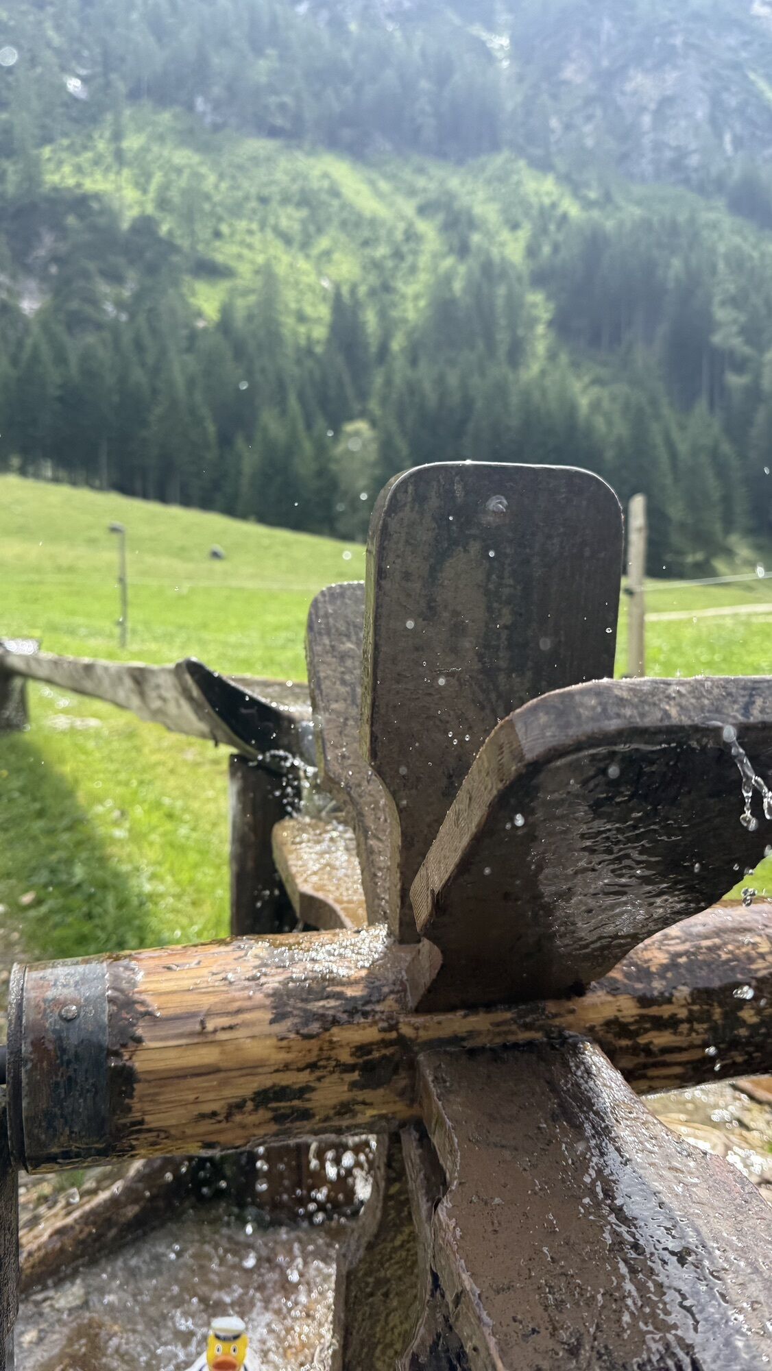
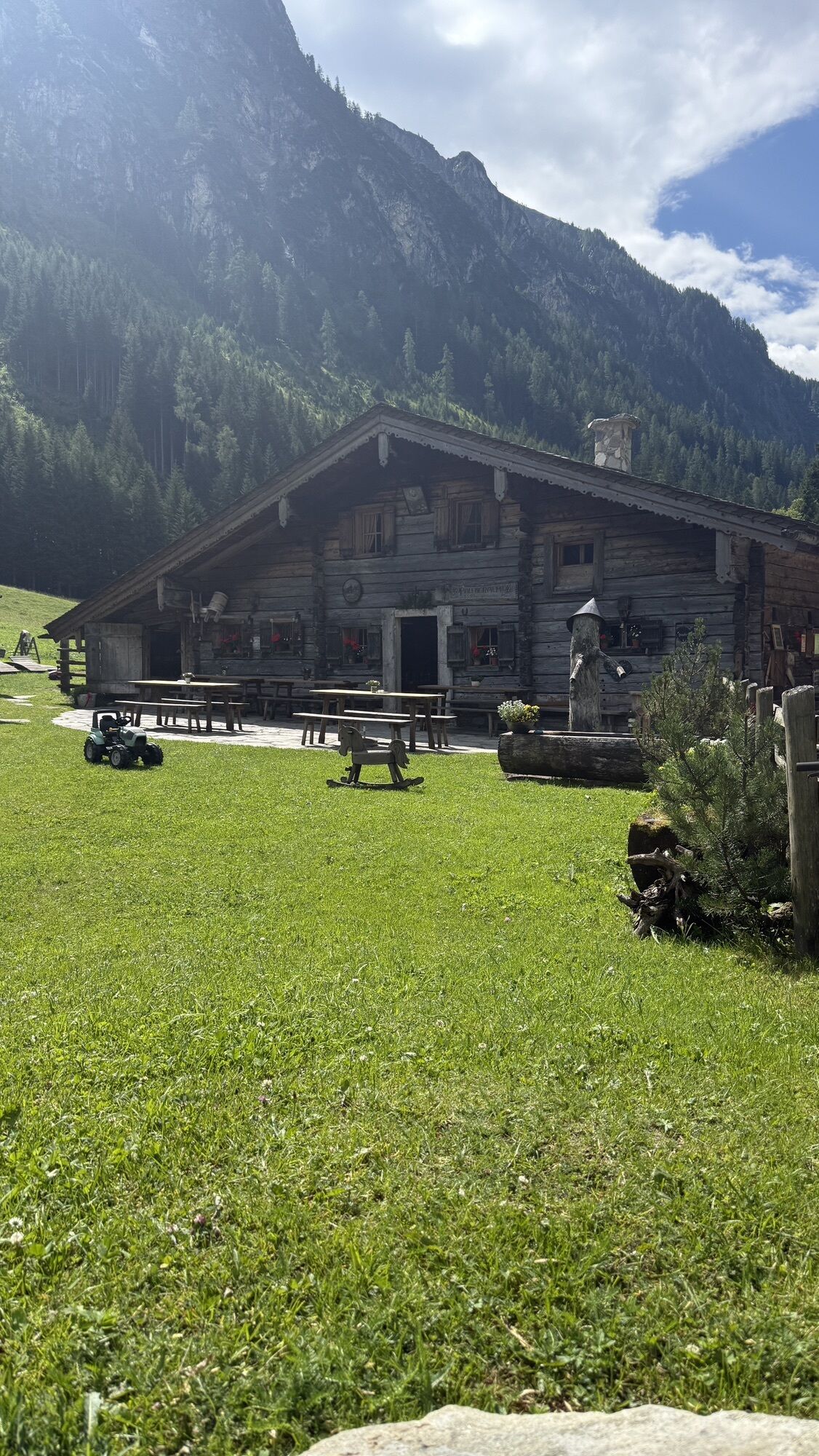
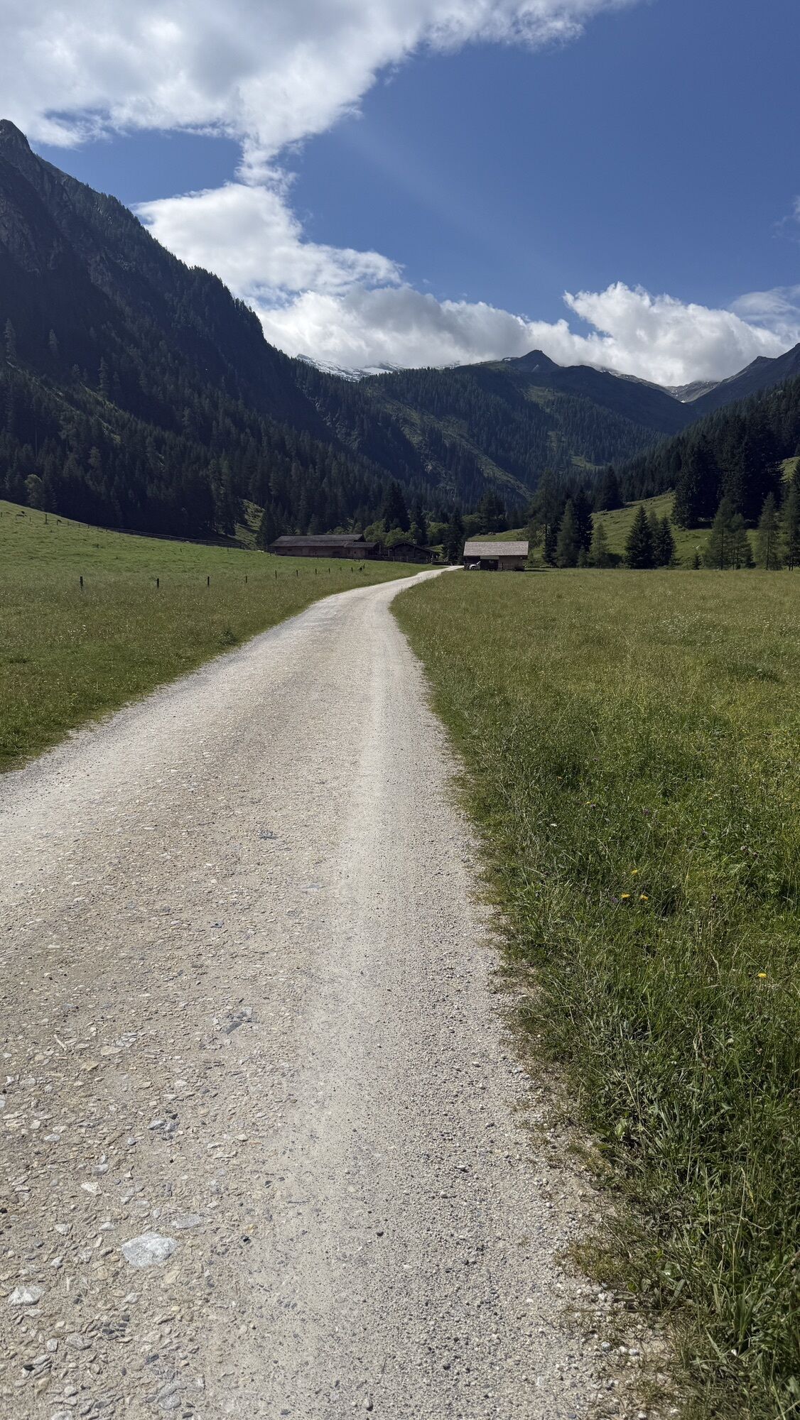
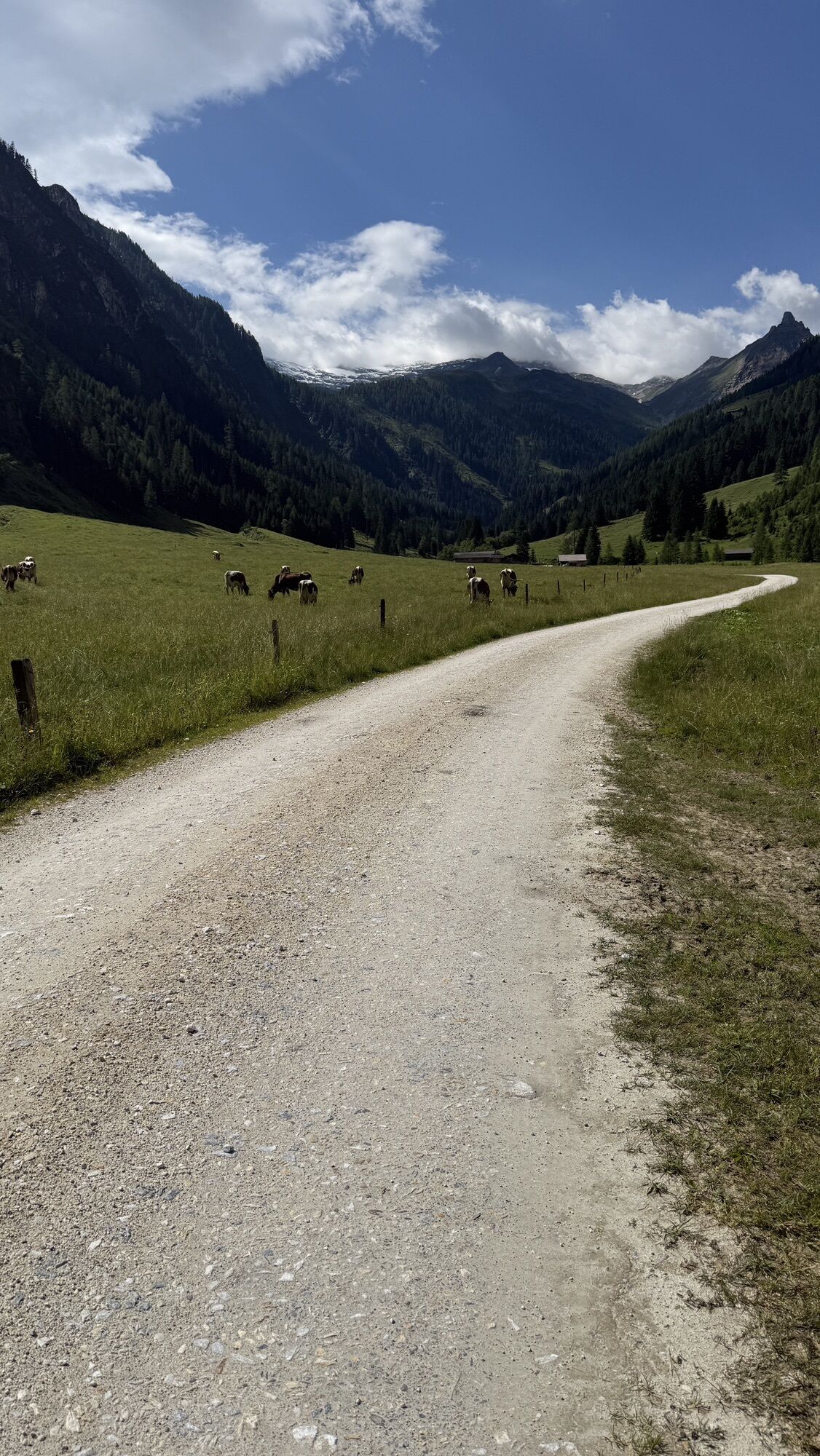
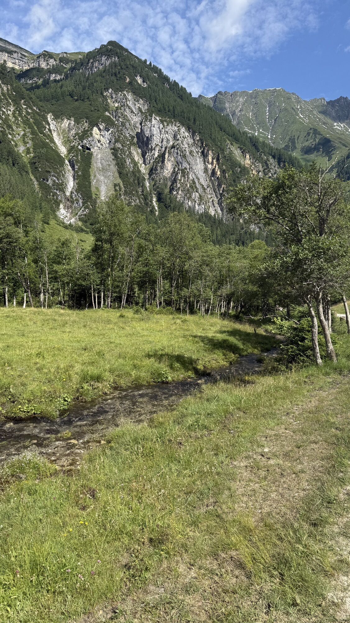
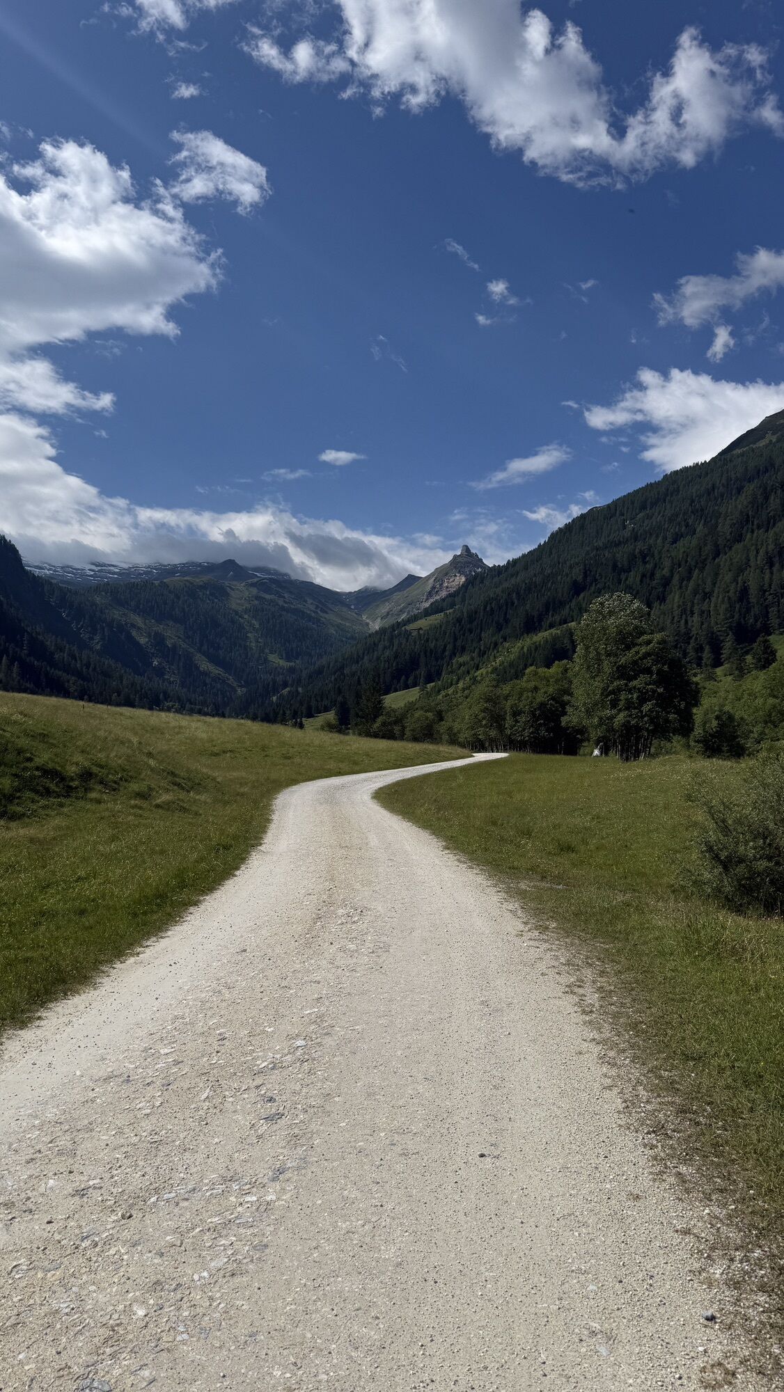
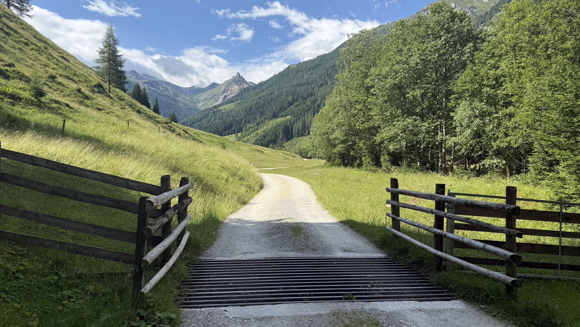

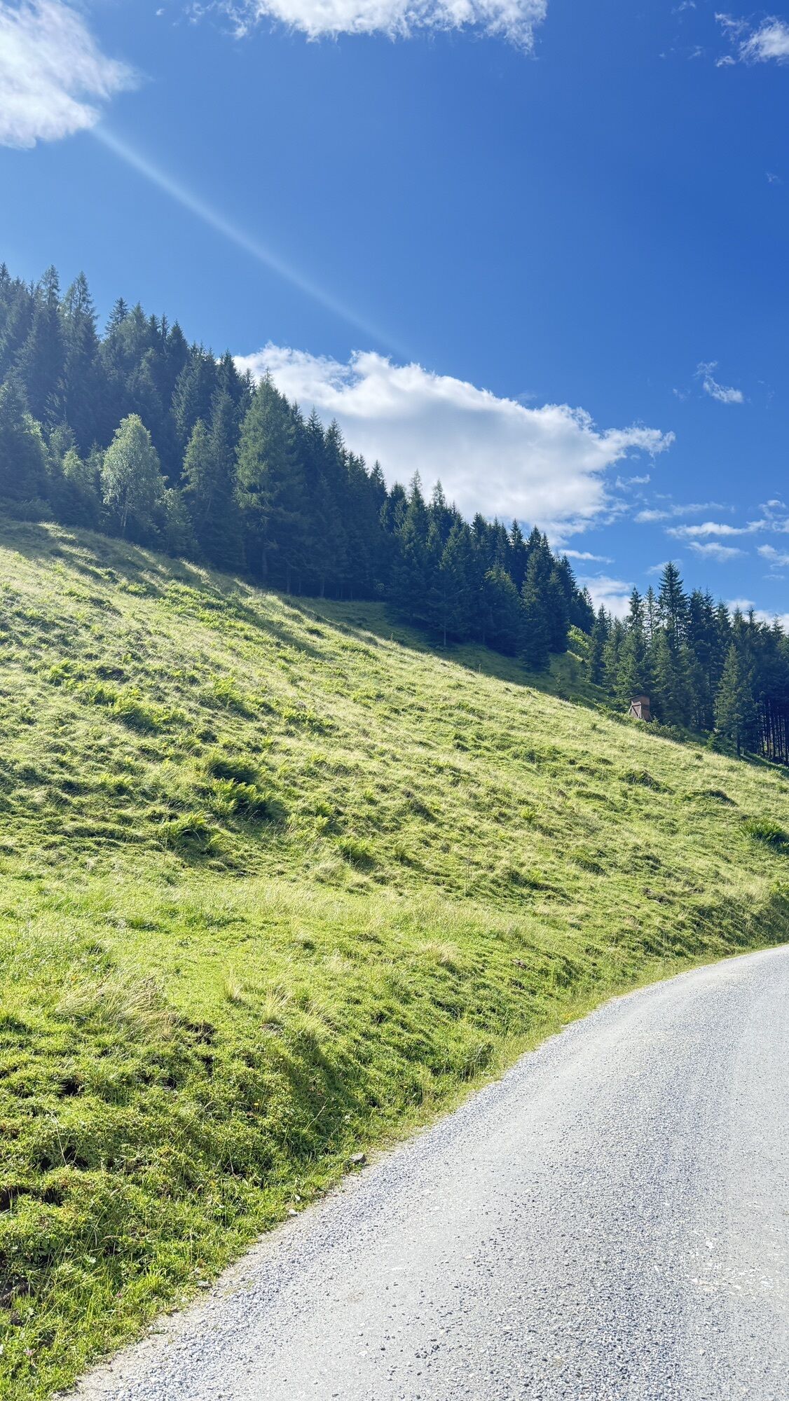
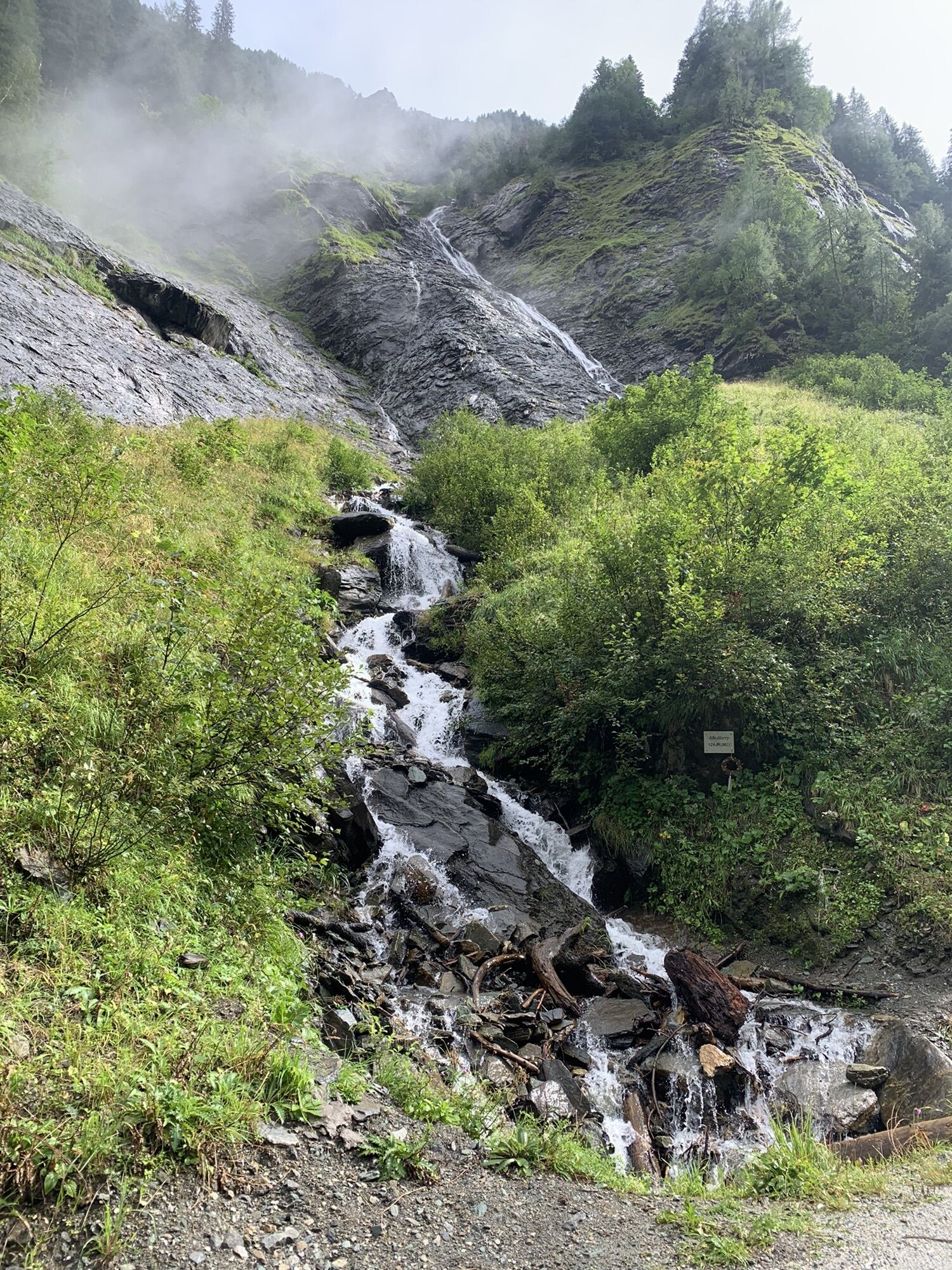
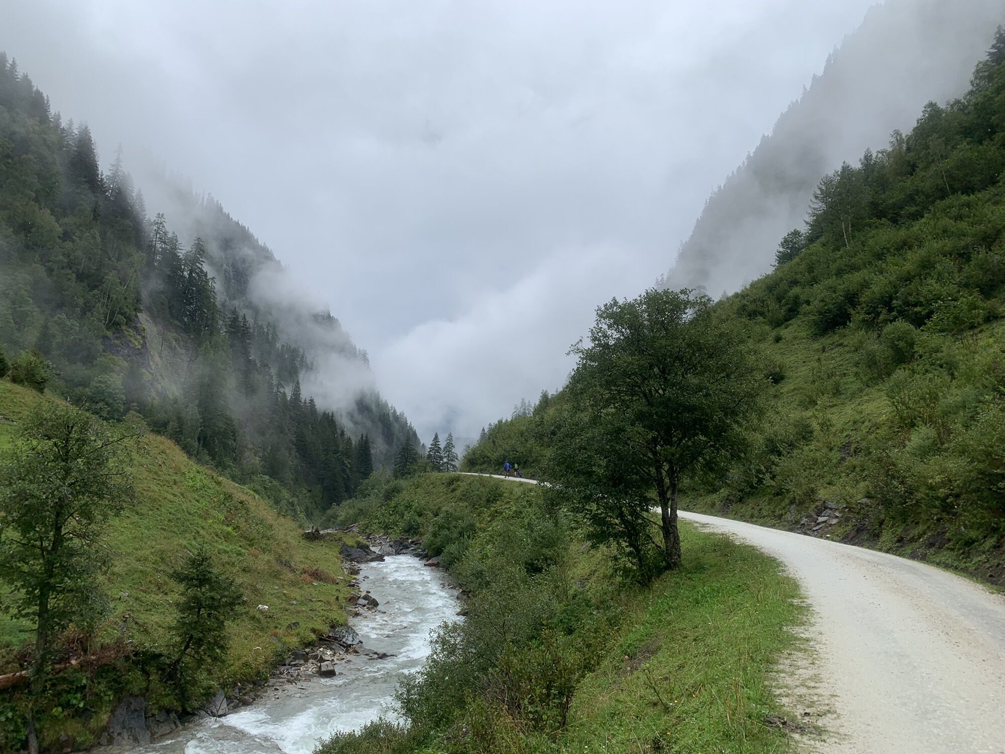
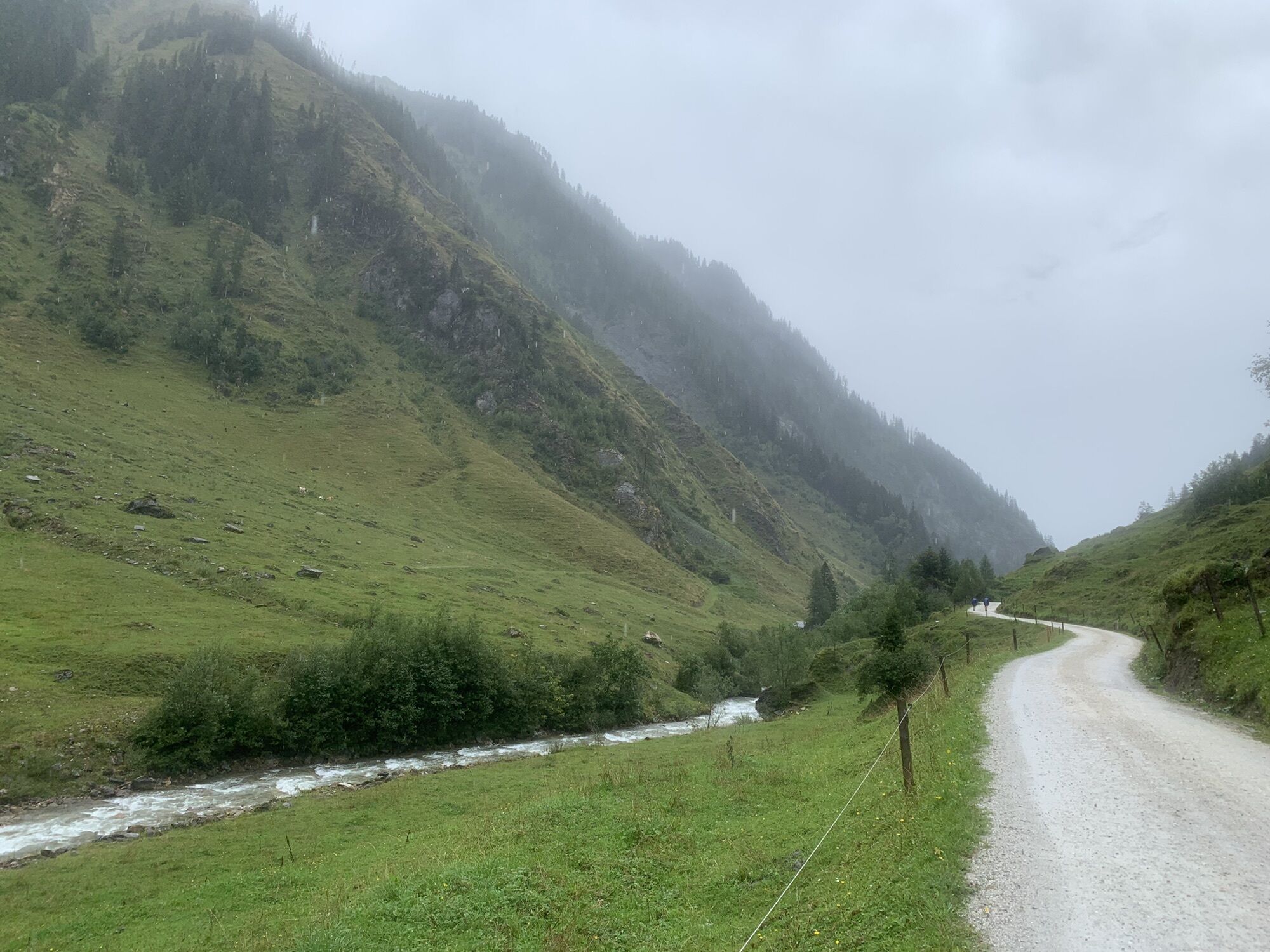
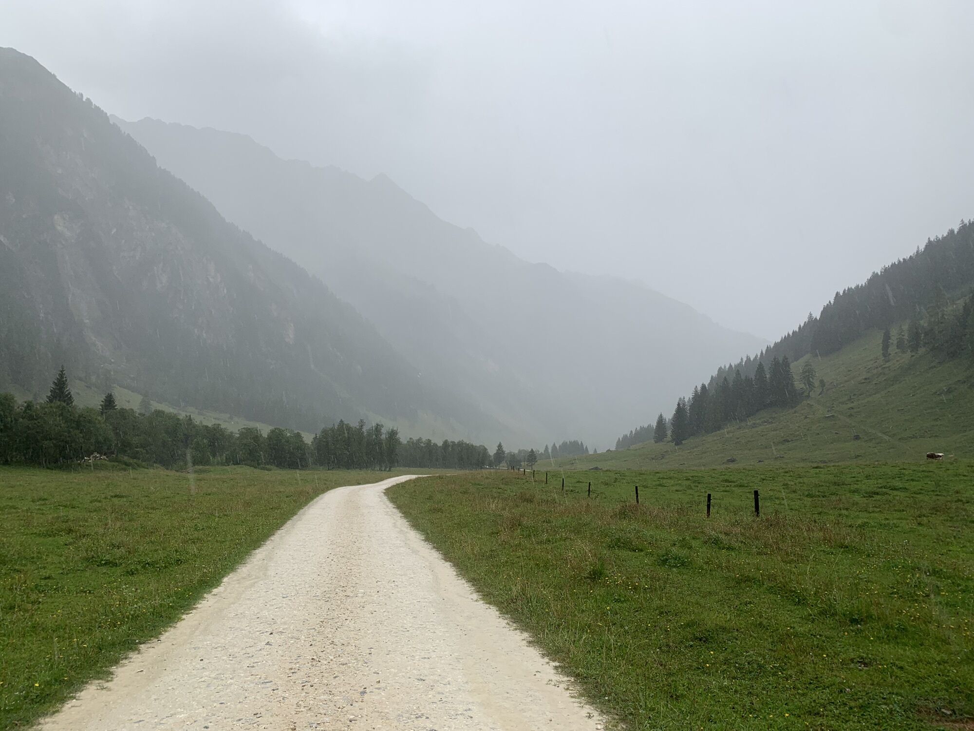
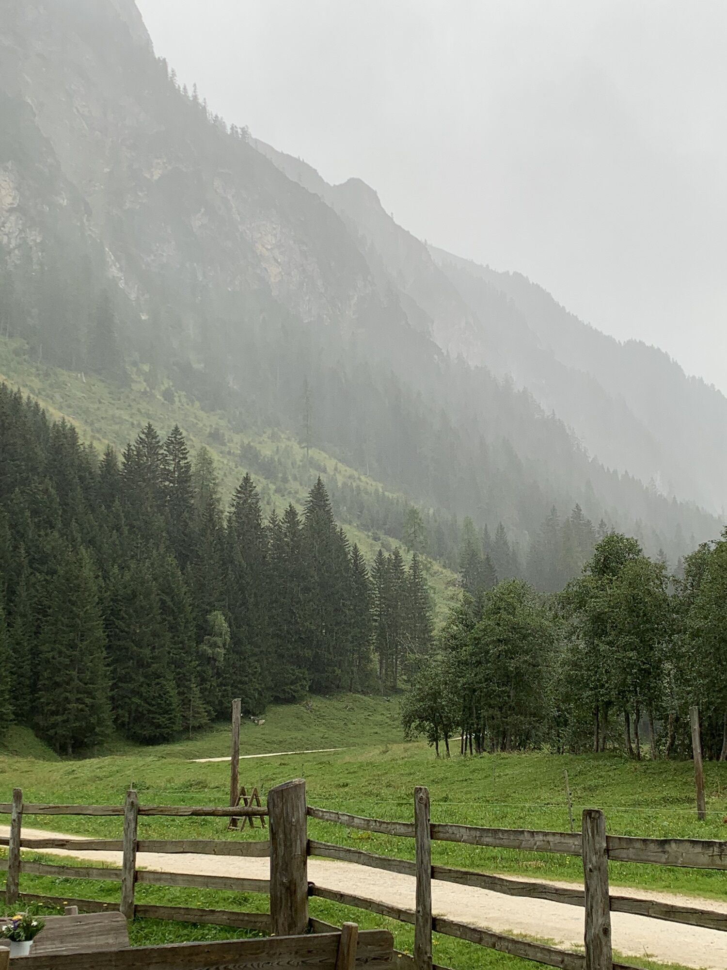
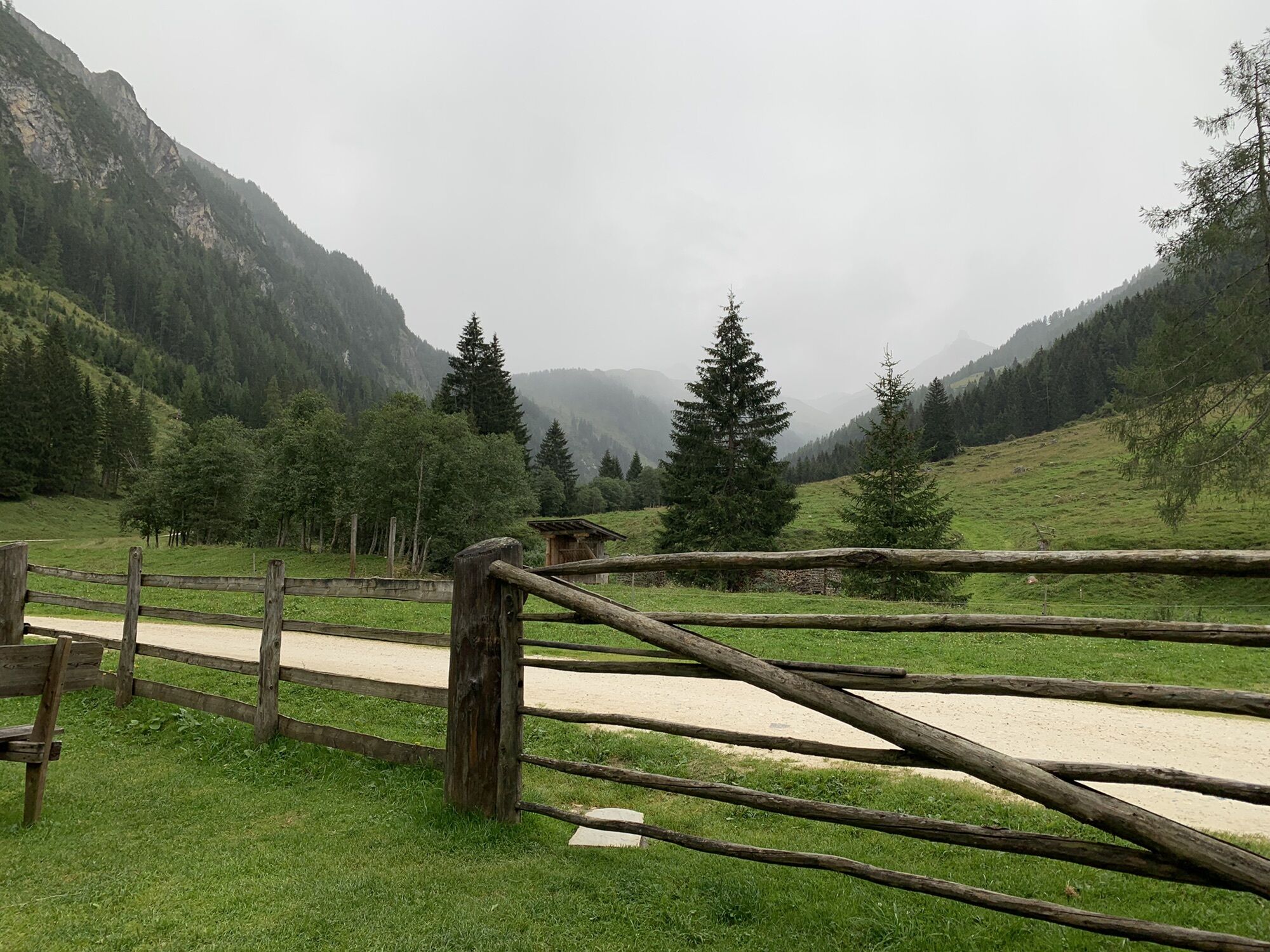
Starting from the Fleckweide parking lot, the initially easy forest road begins, the water information path. Past the alpine huts Gollehenalm (1,286 m) and Palfneralm (1,330 m), you hike about 3 hours...
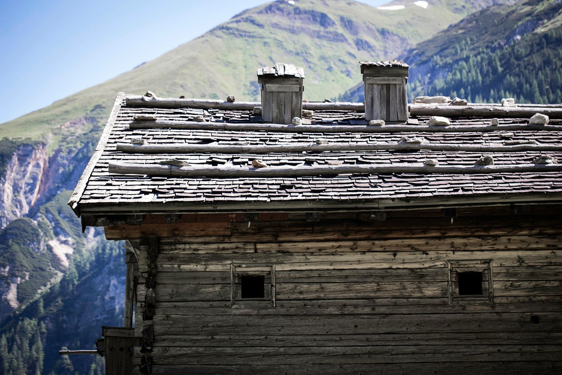
Starting from the Fleckweide parking lot, the initially easy forest road begins, the water information path. Past the alpine huts Gollehenalm (1,286 m) and Palfneralm (1,330 m), you hike about 3 hours to the more than 500 years old Tauernhaus (1,526 m). Here begins the initially easy forest path, which becomes moderate and steeper from the Litzlhofalm (1,727 m). After about 2 hours you reach the Hochtor (2,576 m) on the Großglockner High Alpine Road.

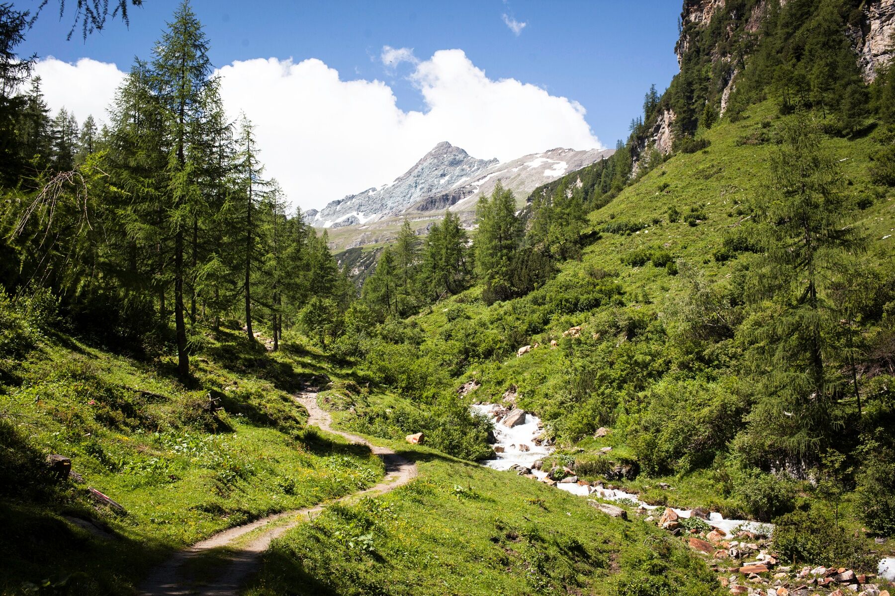
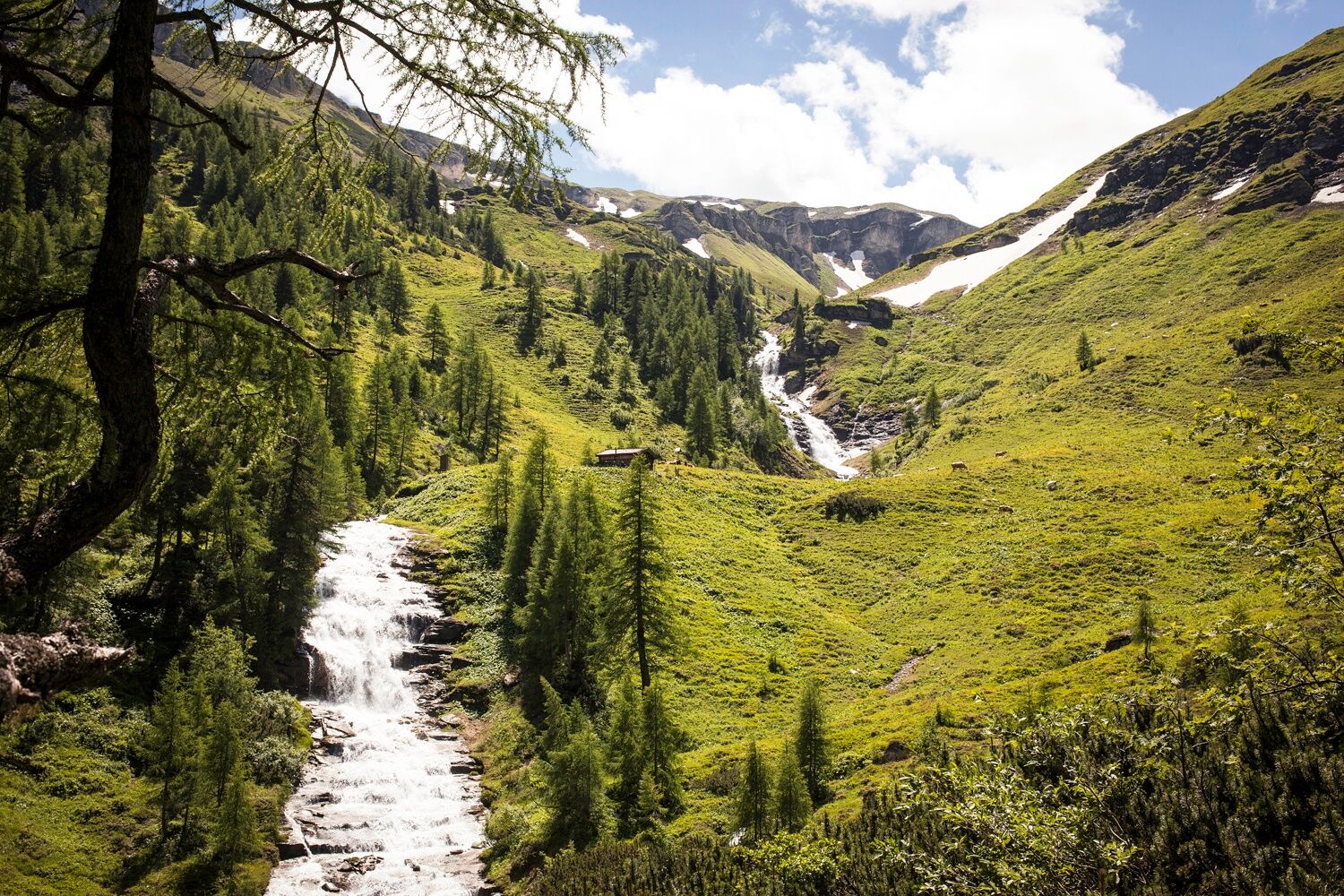

Parking Fleckweide - Gollehenalm - Palfneralm - Rauriser Tauernhaus - Litzlhofalm - Hochtor.
Áno
Sturdy footwear, poles, hiking equipment.
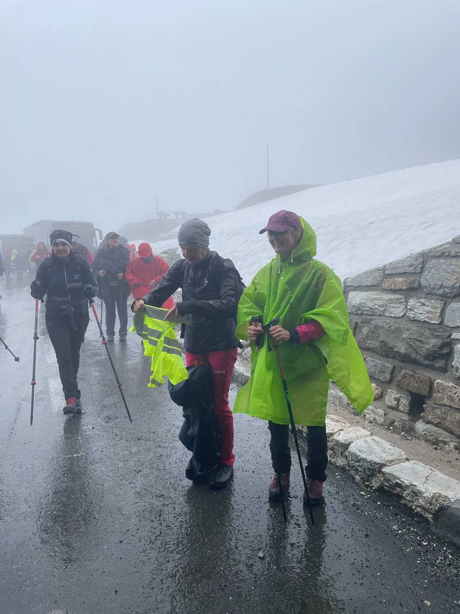
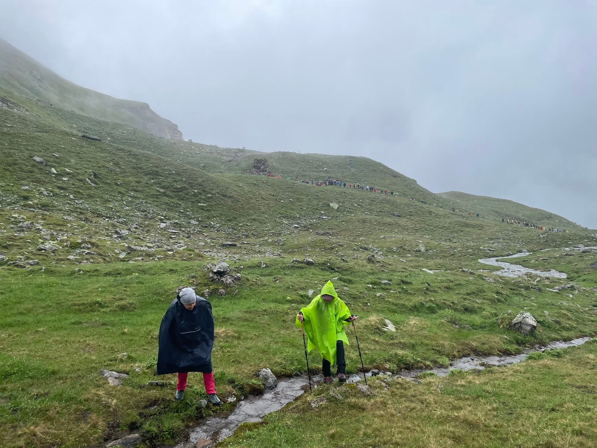
Above 2,000 meters these are high alpine hiking trails, partly still with a lot of snow and snowfields. Good high alpine experience and equipment are required for this route.
Via B311 to Rauris, via the bypass road to Wörth and further into the Seidlwinkl valley.
By post bus line 640 to Wörth or the valley bus to the Fleckweide parking lot or to the Rauriser Tauernhaus (June to September).
Parking available at Fleckweide parking lot (paid).
T2
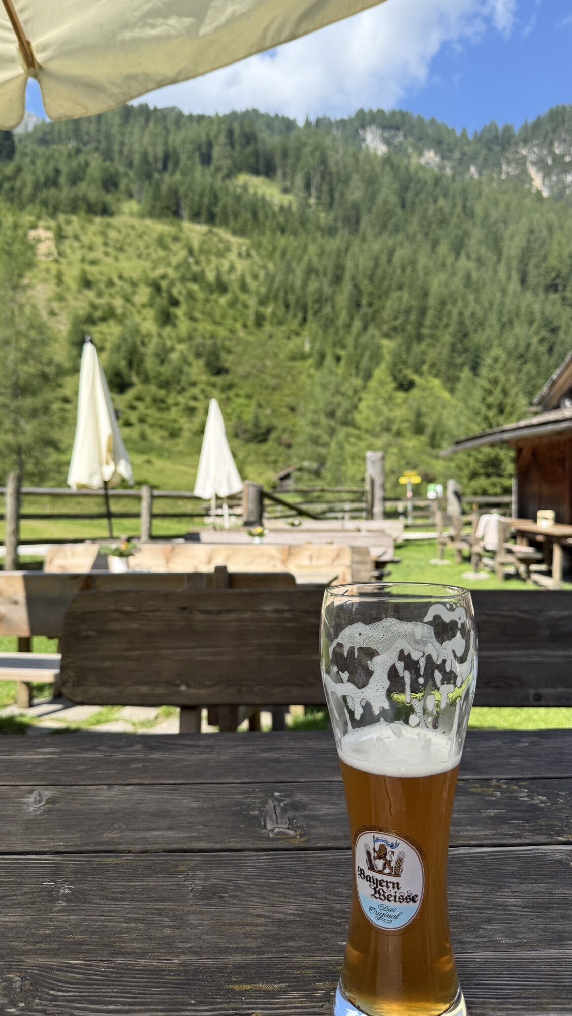
Refreshment possibilities at Gollehenalm, Palfneralm, the Rauriser Tauernhaus and Litzlhofalm. Descent like ascent or return by public transport from Großglockner to Rauris.
The hike can also be done from Hochtor through the Seidlwinkl valley to Rauris.
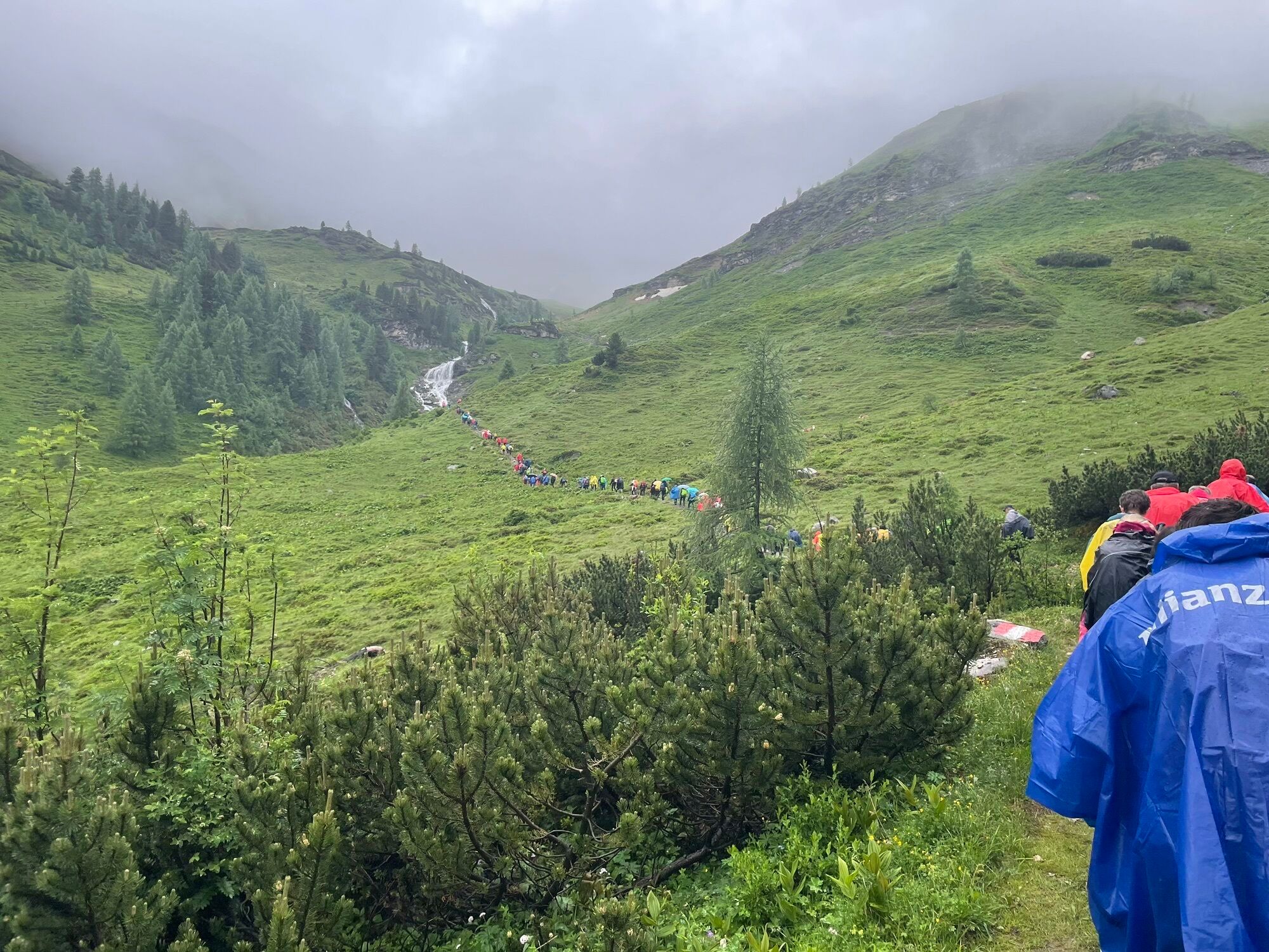
At the end of the Seidlwinkl valley, a pilgrimage walk takes place every year on June 28 for Peter and Paul. The pilgrimage route runs from the Rauriser Tauernhaus over the Hochtor to Heiligenblut.
Získajte prehľad
Vždy naživo na mieste s viac ako 9 500 webovými kamerami. bergfex Ako používateľ Pro si teraz môžete pozrieť príslušné webové kamery pre mnohé zájazdy v aplikácii zájazdy z. Môžete si tak priamo prezerať aktuálne podmienky.


Obľúbené výlety v okolí
-
4,7
Kaiser-Franz-Josefs-Höhe to Oberwalderhütte
ťažkéTuristika 5,52 km -
4,7
Geotrail Tauernfenster
svetloTuristika 5,90 km -
5,0
Silberpfennig, Salzburger Land/Österreich
strednáTuristika 13,8 km -
4,4
Glacier Route to the Pasterze with Gamsgrubenweg (up to Tunnel 6)
strednáTuristika 8,05 km -
4,9
Türchlwand von der Bergstation Schlossalmbahn Bad Hofgastein, Österreich
strednáHorská turistika 7,05 km -
4,9
Glockner
strednáVysoké turné 19 km -
4,8
Hohe Sonnblick Up
ťažkéTuristika 9,14 km -
4,8
Rifflscharte - Kolmkarscharte - Bockhartscharte - Sportgastein
strednáTuristika 13,5 km -
4,5
Spielmann
strednáTuristika 9,48 km -
4,5
Niedersachsenhaus
strednáTuristika 4,84 km
Turistika a stopovanie


Nenechajte si ujsť ponuky a inšpiráciu na ďalšiu dovolenku
Vaša e-mailová adresa bol pridaný do poštového zoznamu.





