


Ennskraxn (2410m)


Beautiful mountain route with a very scenic summit. From the village of Kleinarl, you ascend over meadows and paths through the forest to the Steinkaralm. The Steinkaralm is a small paradise, surrounded...
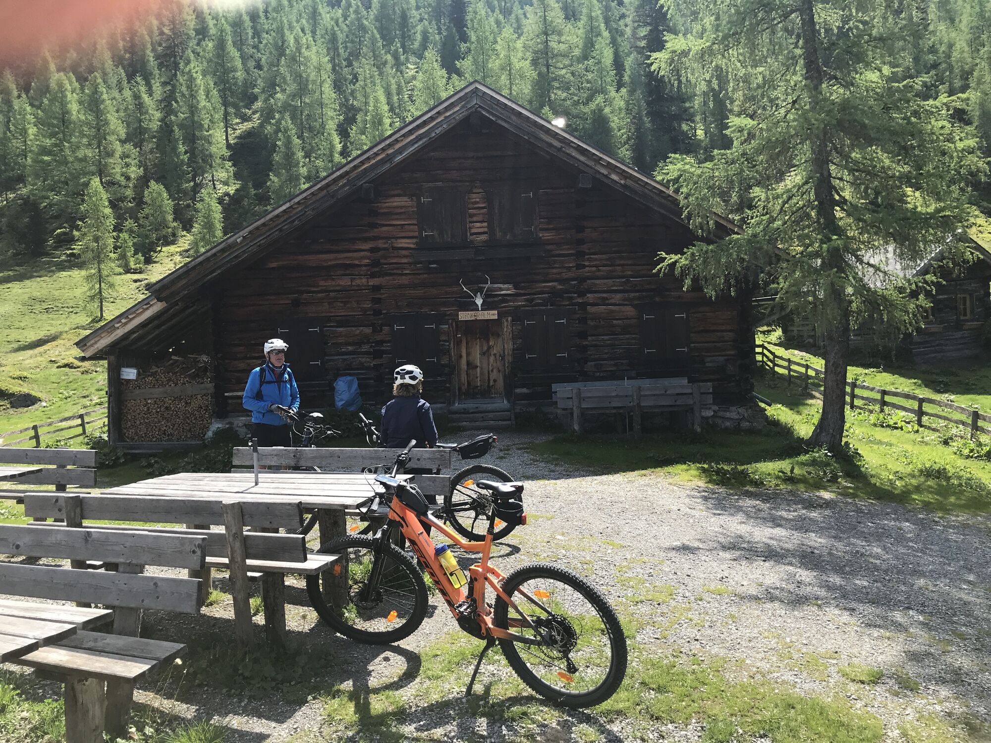
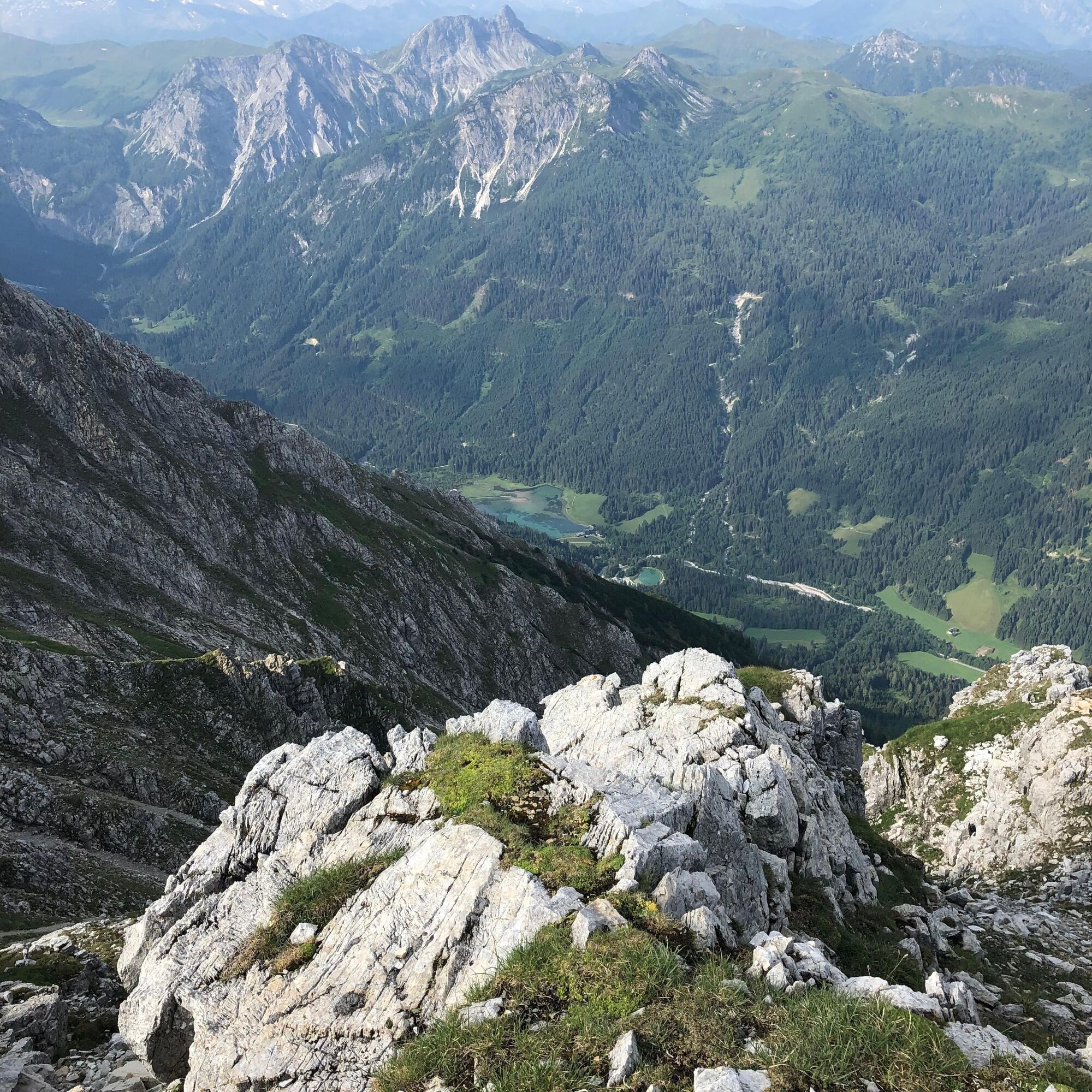
Beautiful mountain route with a very scenic summit. From the village of Kleinarl, you ascend over meadows and paths through the forest to the Steinkaralm. The Steinkaralm is a small paradise, surrounded by alpine meadows and with a view of the imposing wall of the Ennskraxn. On the way back, stopping at the cozy Steinkaralm for a relaxed snack is highly recommended.
From the Steinkaralm, a path leads over a forest ridge up to the Blue Lake - a small meltwater pond at the rock face of the Ennskraxen. From here, the path continues over the northwest ridge to the summit.
Mountain experience and surefootedness are necessary.
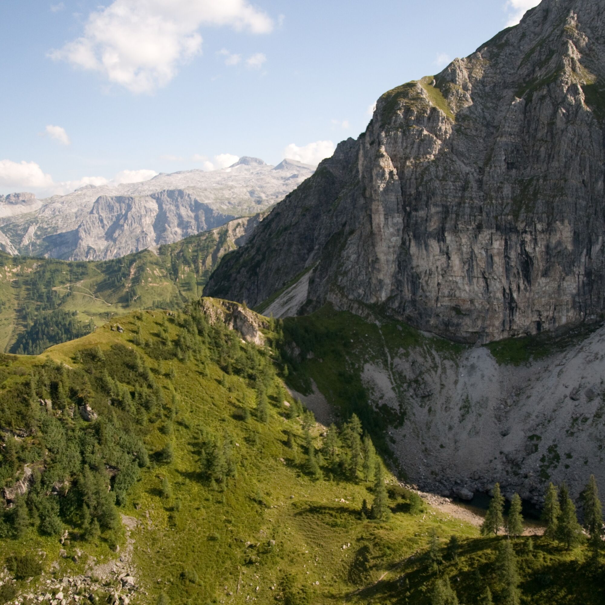
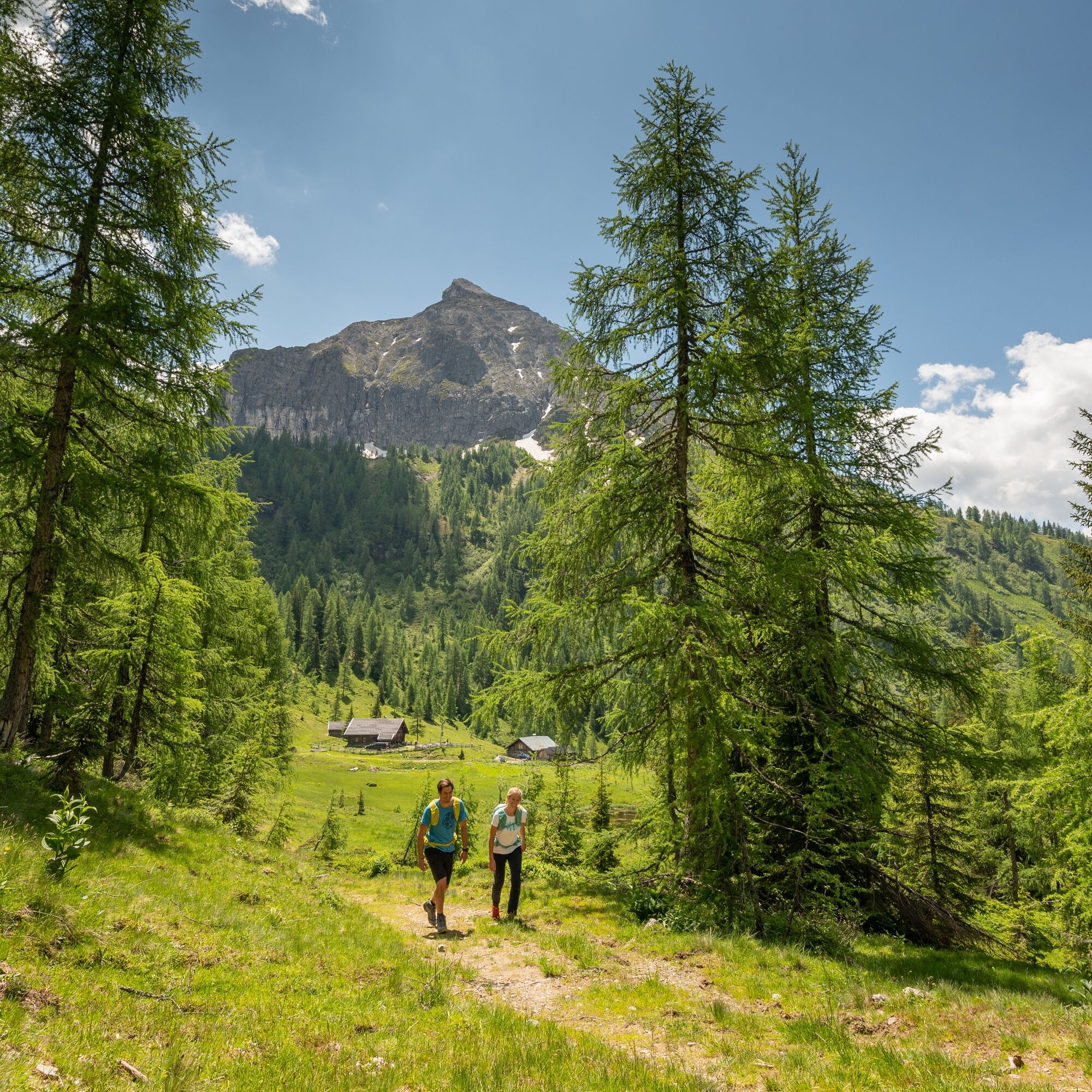
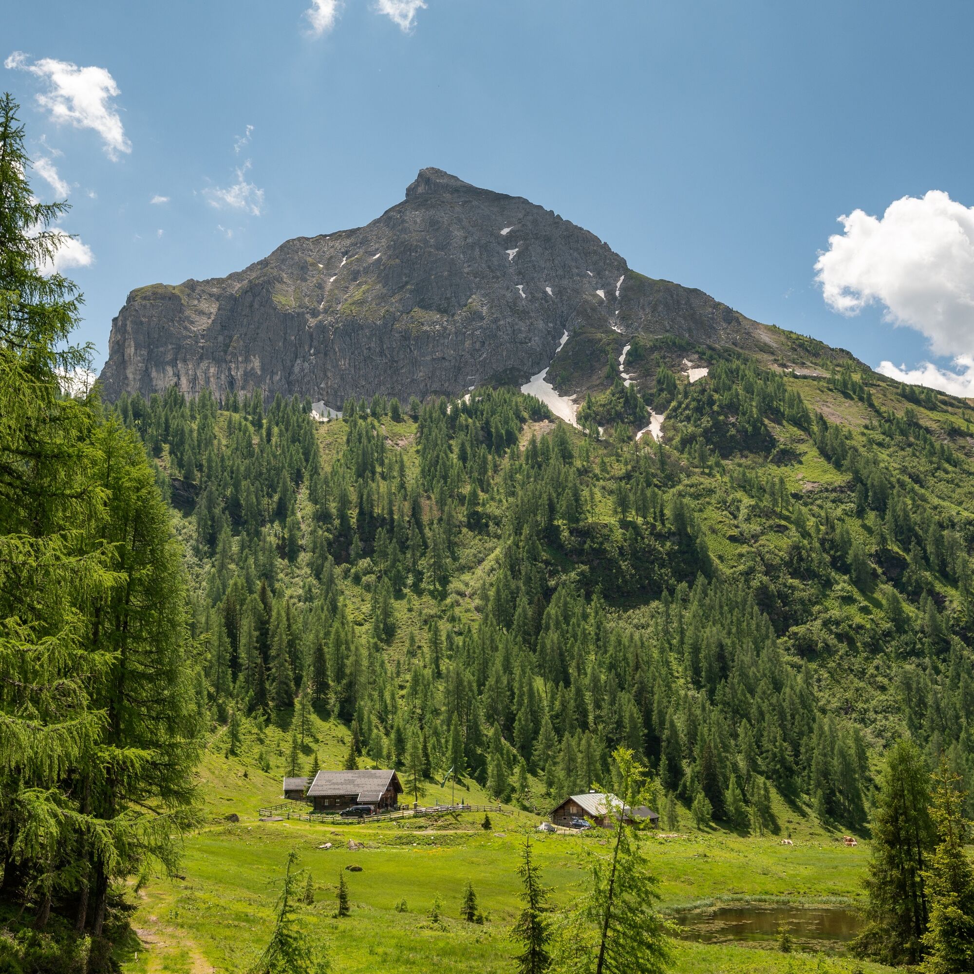
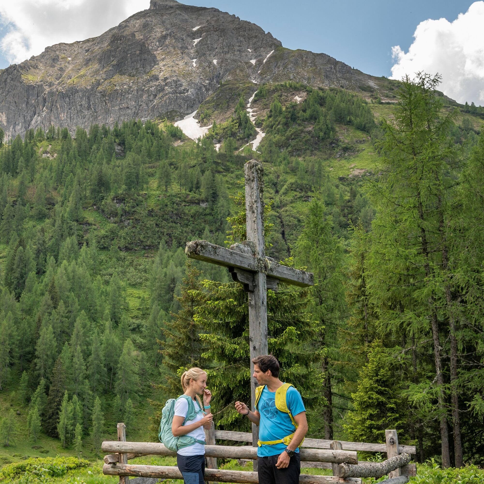
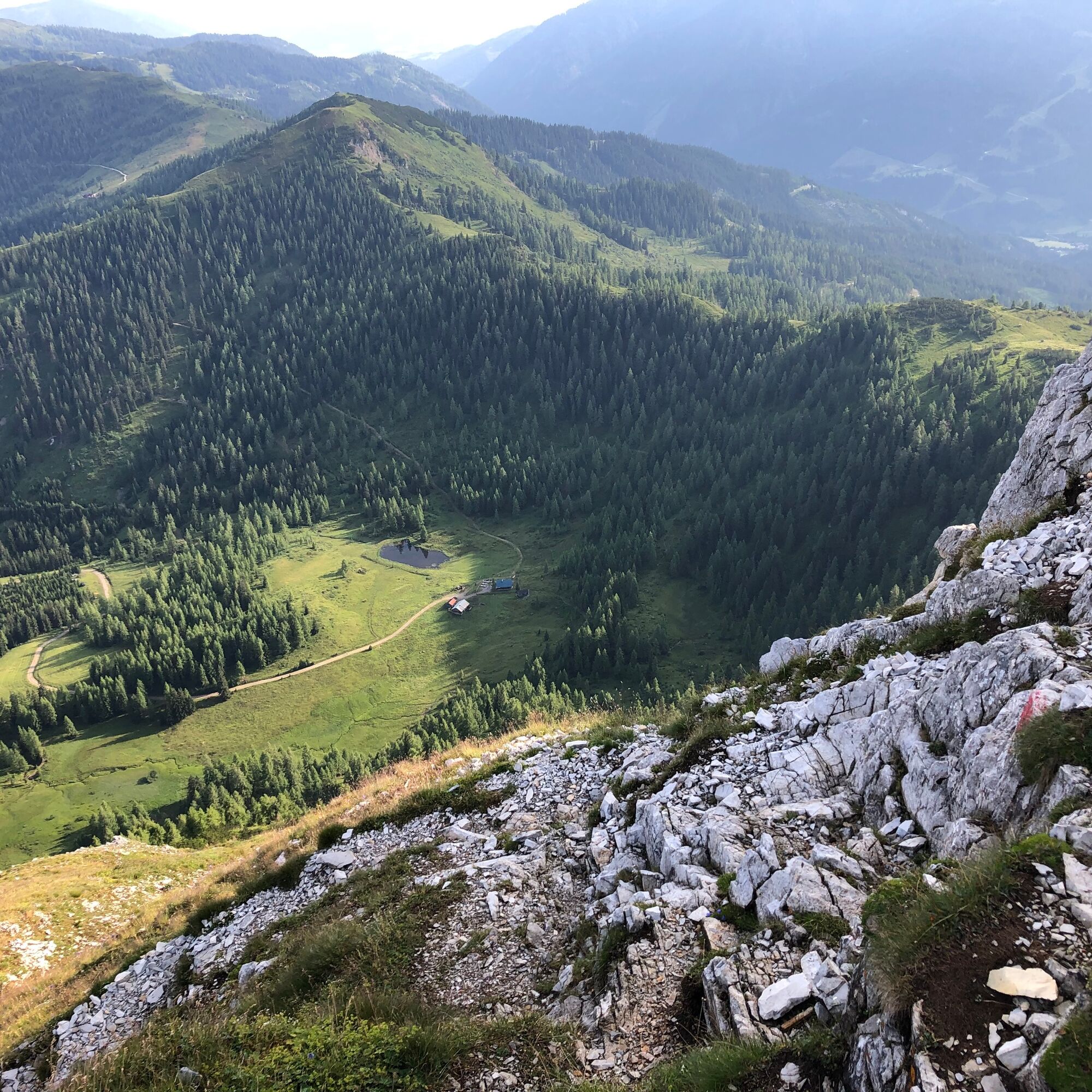
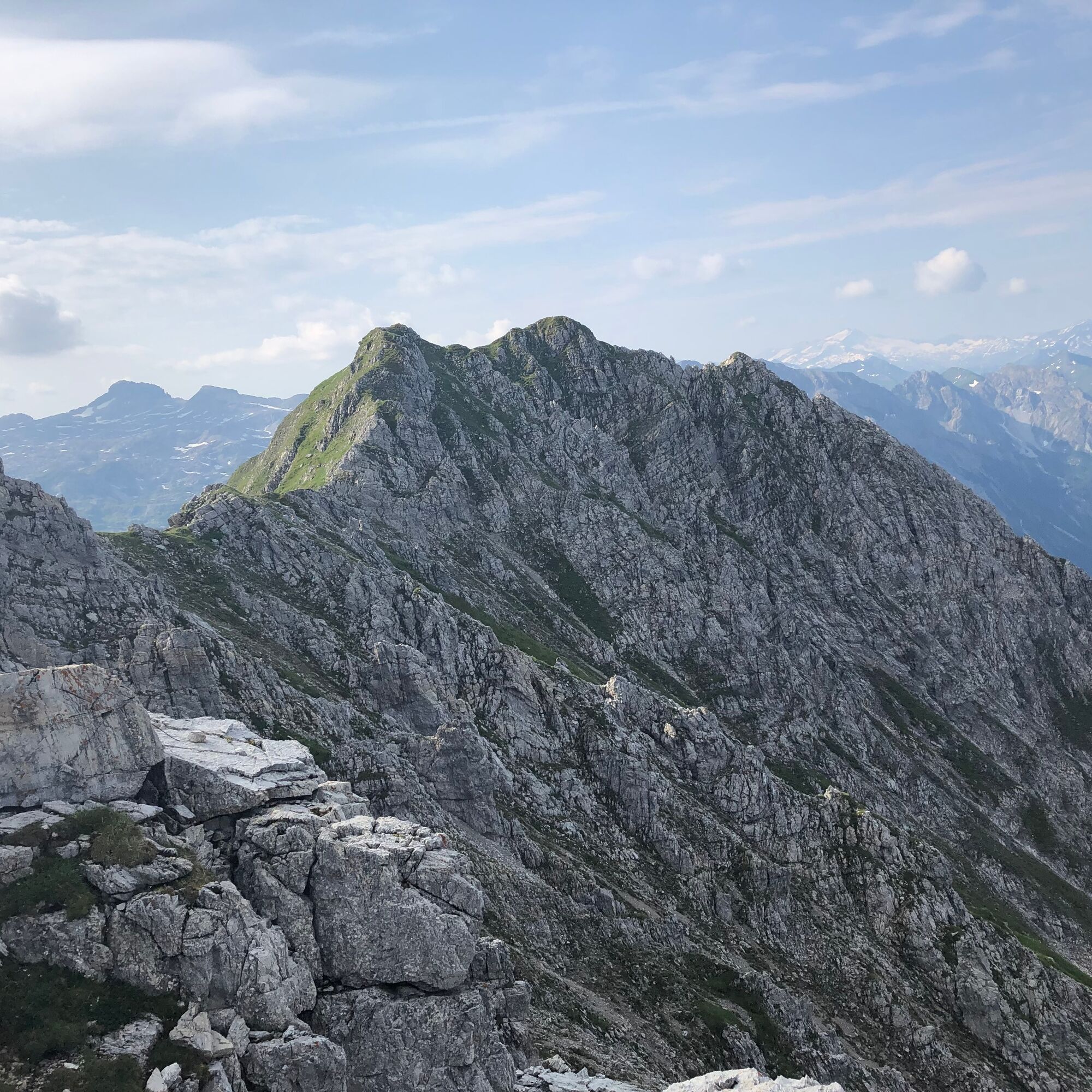
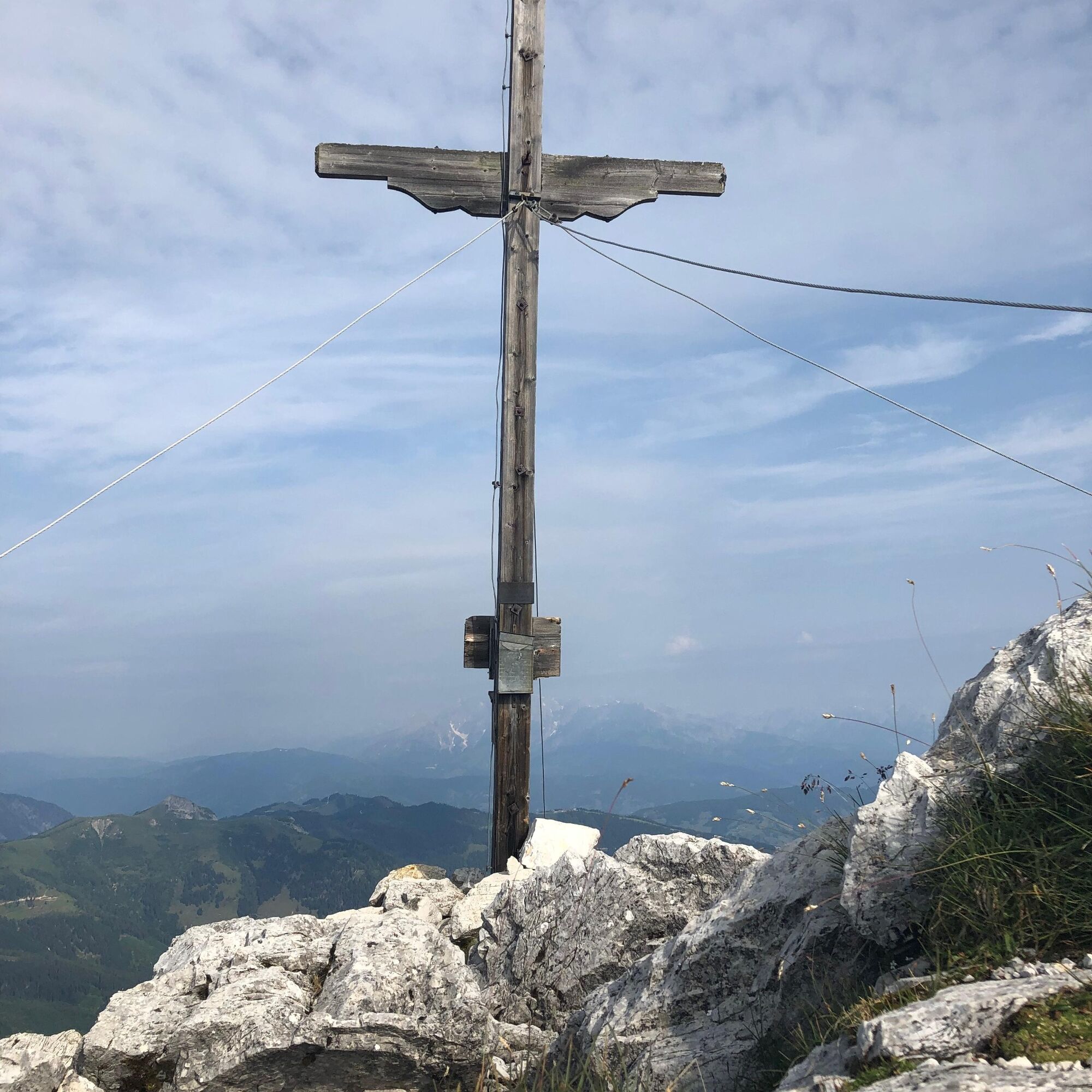
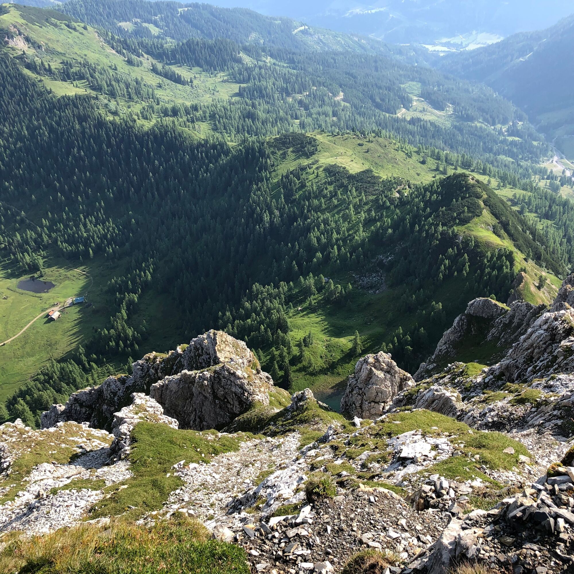
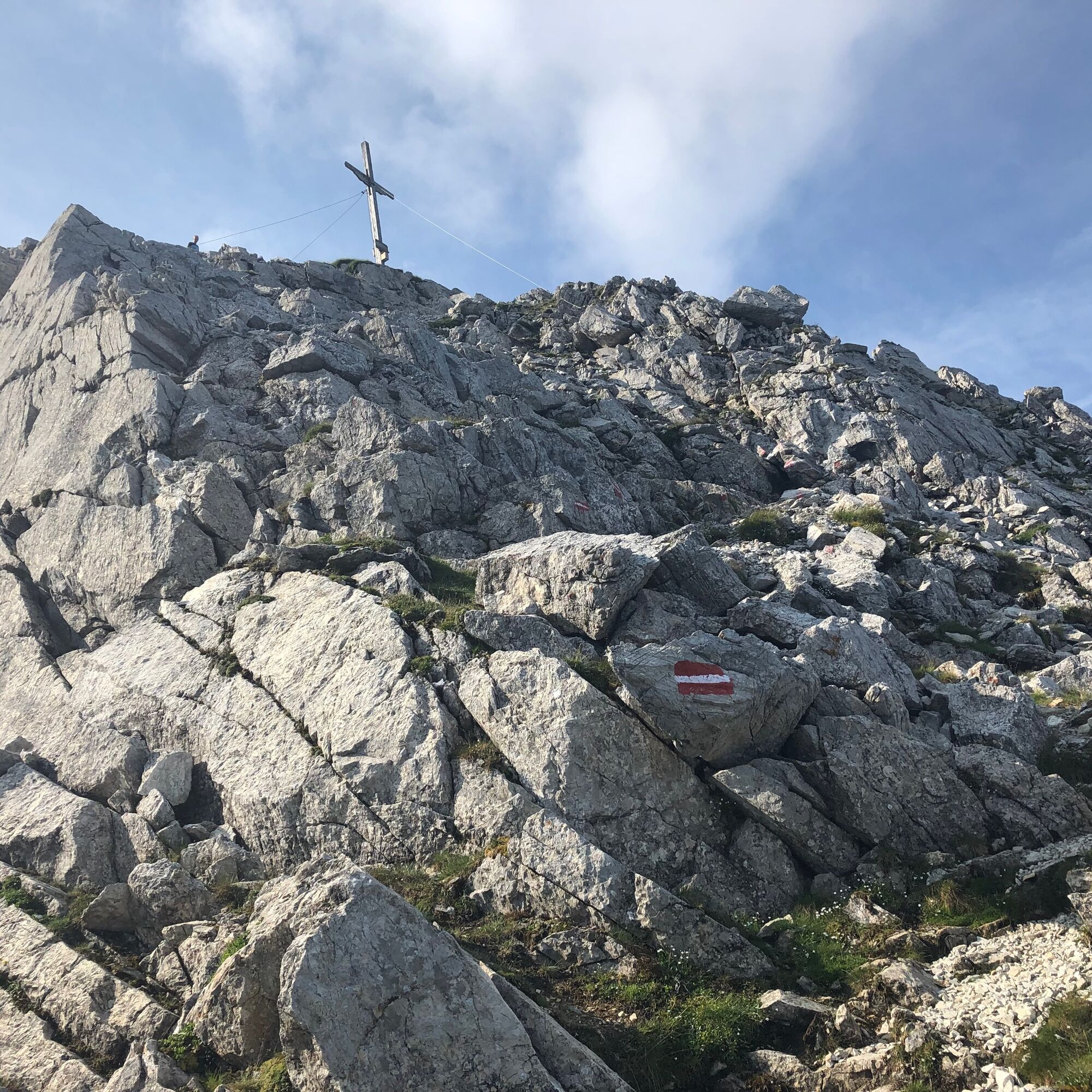
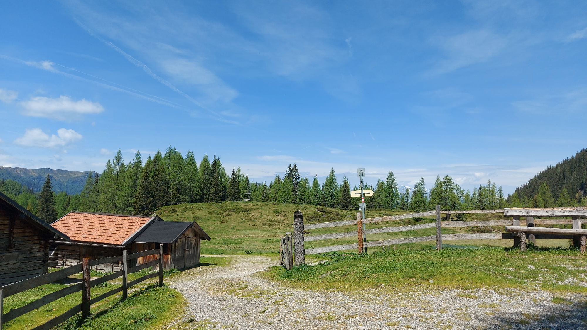
From the village of Kleinarl, follow hiking path no. 90 along the forest road past the Ennskraxn snack station. After a short time, the path forks. Both routes lead over the Steinkaralm (1700m) to the Ennskraxn. While the right path goes exclusively via the forest road, the left, by far more beautiful path leads across a meadow and a trail through the forest up to the Steinkaralm. Beyond the Steinkaralm, continue over a forest ridge to the Blue Lake - a small meltwater pond at the rock face of the Ennskraxn. From here begins the somewhat more difficult part of the route. The path leads steeply but passably along the rock face over the northwest ridge towards the summit. In the upper section of the path, the rock formation becomes more pronounced, which also means some easy scrambling up to the summit cross. Mountain experience and surefootedness are necessary.
Áno
Sturdy footwear
Via Wagrain into the town center of Kleinarl.
Take the hiking bus to Kleinarl.
Hiking parking lot at the entrance to Kleinarl or in the center of Kleinarl.
Obľúbené výlety v okolí
-
4,5
Mosermandl Windischscharte, Salzburger Land/Österreich
ťažkéTuristika 14,6 km -
4,3
Glöcknerin
ťažkéTuristika 5,60 km -
4,6
Ski route Lackenkogel
strednáSkitour 7,82 km -
4,2
Großarl: Unterwandalm - Karseggalm - Breitenebenalm
strednáTuristika 5,93 km -
4,4
Ski tour Liebeseck
ťažkéSkitour 14,1 km -
4,8
Großarl: Mooslehenalm – Niggeltalalm – Viehhausalm
strednáTuristika 5,44 km -
4,5
Penkkopf via Kleinarler hut from Kleinarl
strednáSkitour 4,35 km -
4,8
Obertauern to the Johannes Waterfall
strednáTuristika 9,39 km -
2,6
Glöcknerin
strednáTuristika 9,87 km -
4,8
Liechtensteinklamm mit Helix
svetloTematická trasa 3 km
Turistika a stopovanie


Nenechajte si ujsť ponuky a inšpiráciu na ďalšiu dovolenku
Vaša e-mailová adresa bol pridaný do poštového zoznamu.