






HOHE TAUERN PANORAMA TRAIL | ST01: Krimml Waterfalls | Krimml-Hochkrimml
Fotografie našich používateľov
-
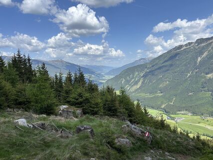
 © Vadim FrankVytvorené dňa 24.05.2026
 -
 © Vadim FrankVytvorené dňa 24.05.2026
 -
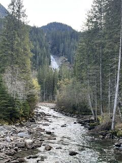
 © Finian.BanseVytvorené dňa 21.10.2025
 -
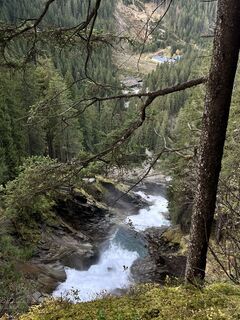 © Finian.BanseVytvorené dňa 21.10.2025
 -
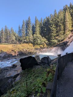 © Rico WeijsVytvorené dňa 15.09.2025
 -
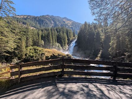 © Rico WeijsVytvorené dňa 15.09.2025
 -
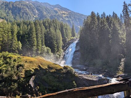 © Rico WeijsVytvorené dňa 15.09.2025
 -
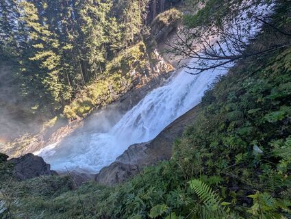 © Rico WeijsVytvorené dňa 15.09.2025
 -
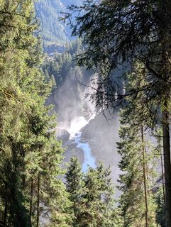 © Rico WeijsVytvorené dňa 15.09.2025
 -
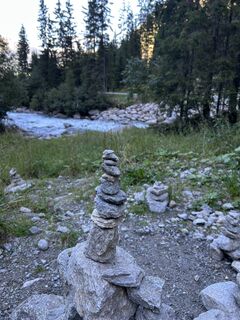
 © Kerstin RohrerVytvorené dňa 03.09.2025
 -
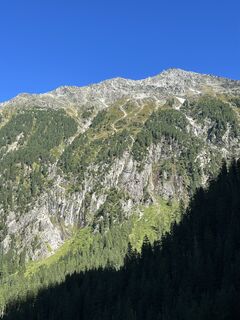 © Kerstin RohrerVytvorené dňa 03.09.2025
 -
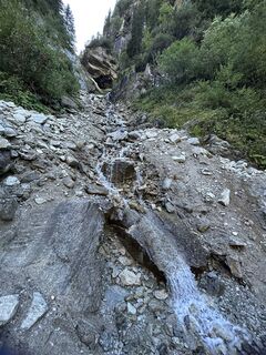 © Kerstin RohrerVytvorené dňa 03.09.2025
 -
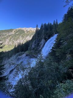 © Kerstin RohrerVytvorené dňa 03.09.2025
 -
 © Kerstin RohrerVytvorené dňa 03.09.2025
 -
 © Kerstin RohrerVytvorené dňa 03.09.2025
 -
 © Rafal BuijsVytvorené dňa 01.09.2025
 -
 © Rafal BuijsVytvorené dňa 01.09.2025
 -
 © Rafal BuijsVytvorené dňa 01.09.2025
 -
 © Rafal BuijsVytvorené dňa 01.09.2025
 -
 © Rafal BuijsVytvorené dňa 01.09.2025
 -
 © Magdalena HenzelovaVytvorené dňa 19.08.2025
 -

 © Roy PetersVytvorené dňa 05.08.2025
 -
 © Roy PetersVytvorené dňa 05.08.2025
 -
 © Roy PetersVytvorené dňa 05.08.2025
 -
 © Roy PetersVytvorené dňa 05.08.2025
 -
 © Roy PetersVytvorené dňa 05.08.2025
 -
 © Roy PetersVytvorené dňa 05.08.2025
 -
 © Felix KlausVytvorené dňa 30.07.2025
 -
 © Felix KlausVytvorené dňa 30.07.2025
 -
 © Felix KlausVytvorené dňa 30.07.2025
 -
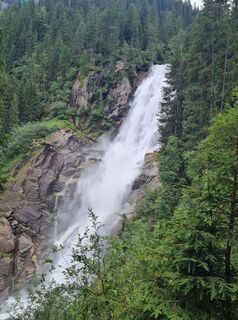 © Felix KlausVytvorené dňa 30.07.2025
 -
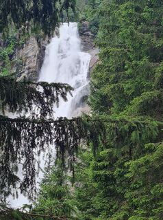 © Felix KlausVytvorené dňa 30.07.2025
 -
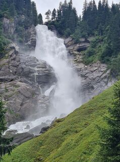 © Felix KlausVytvorené dňa 30.07.2025
 -
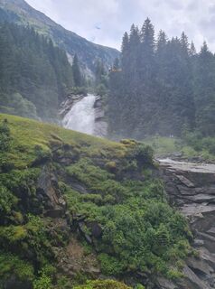 © Felix KlausVytvorené dňa 30.07.2025
 -
 © Felix KlausVytvorené dňa 30.07.2025
 -
 © Felix KlausVytvorené dňa 30.07.2025
 -
 © Felix KlausVytvorené dňa 30.07.2025
 -
 © Felix KlausVytvorené dňa 30.07.2025
 -
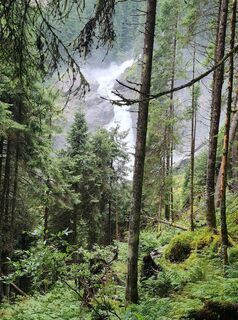 © Felix KlausVytvorené dňa 30.07.2025
 -
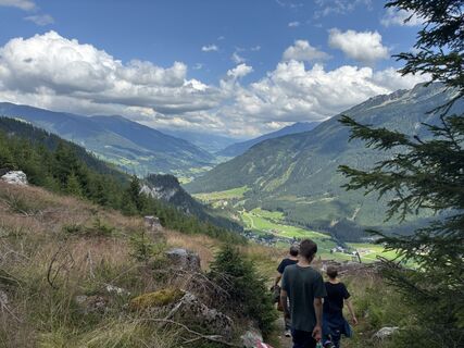 © Marie LouiseVytvorené dňa 23.07.2025
 -
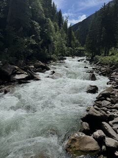
 © Jürgen EggenbergerVytvorené dňa 18.07.2025
 -
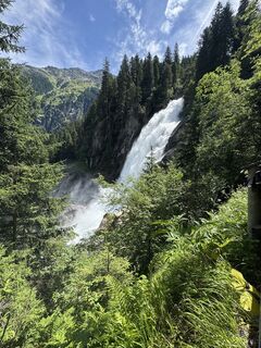 © Jürgen EggenbergerVytvorené dňa 18.07.2025
 -
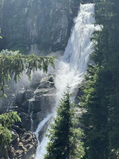 © Jürgen EggenbergerVytvorené dňa 18.07.2025
 -
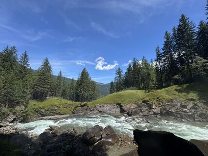 © Jürgen EggenbergerVytvorené dňa 18.07.2025
 -
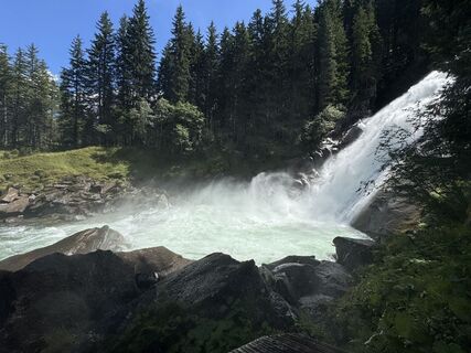 © Jürgen EggenbergerVytvorené dňa 18.07.2025
 -
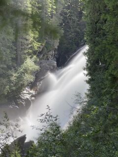 © Jürgen EggenbergerVytvorené dňa 18.07.2025
 -
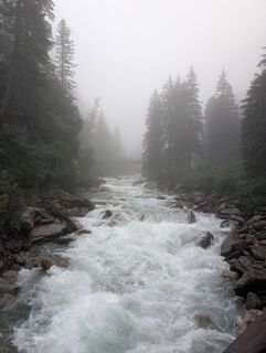
 © s3ns3Vytvorené dňa 16.07.2025
 -
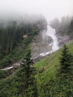 © s3ns3Vytvorené dňa 16.07.2025
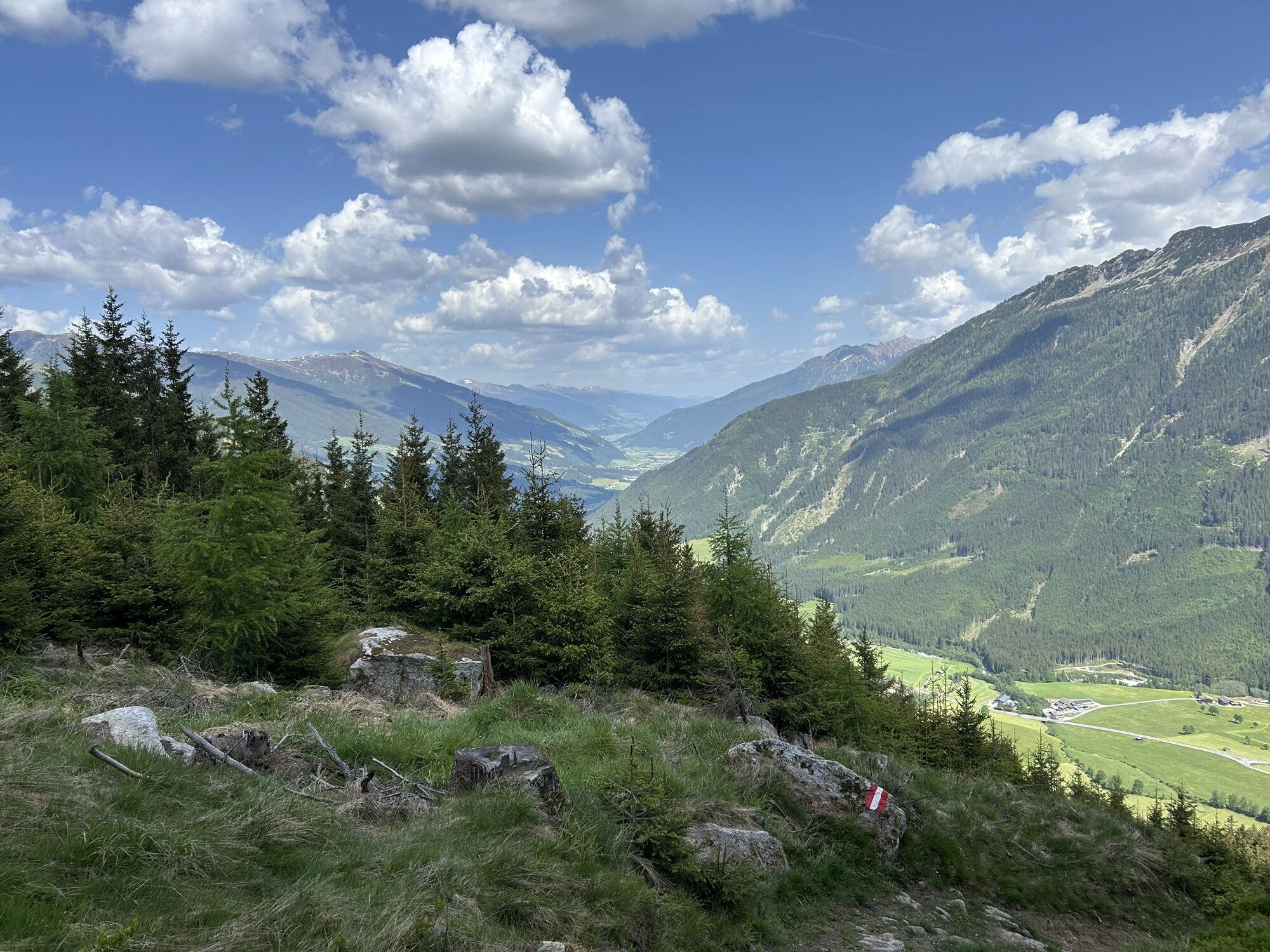
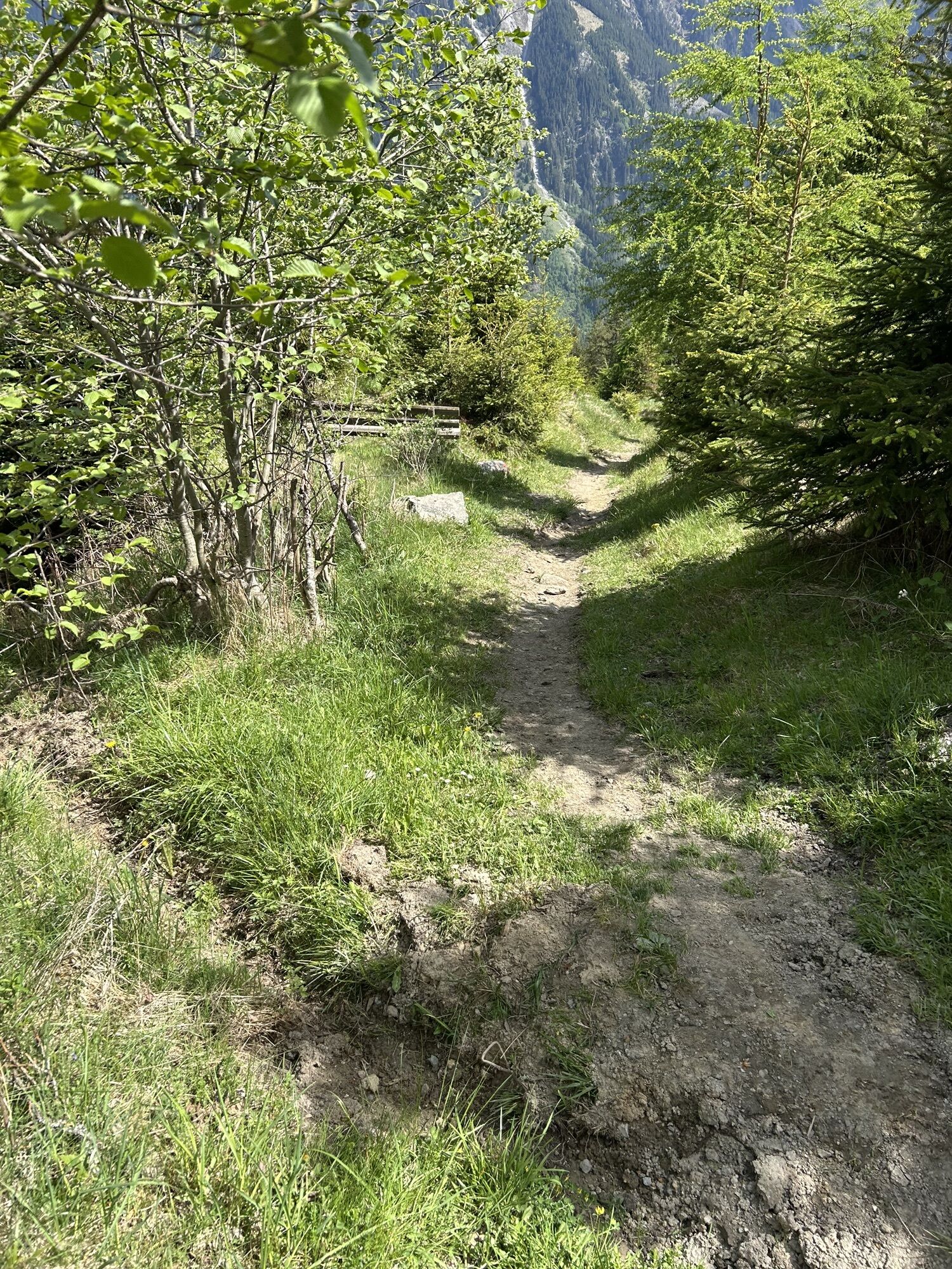
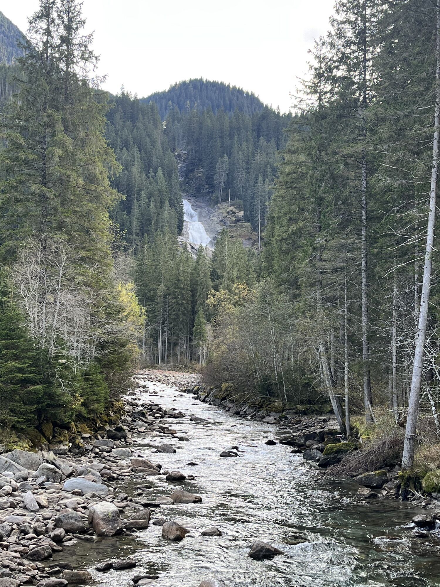
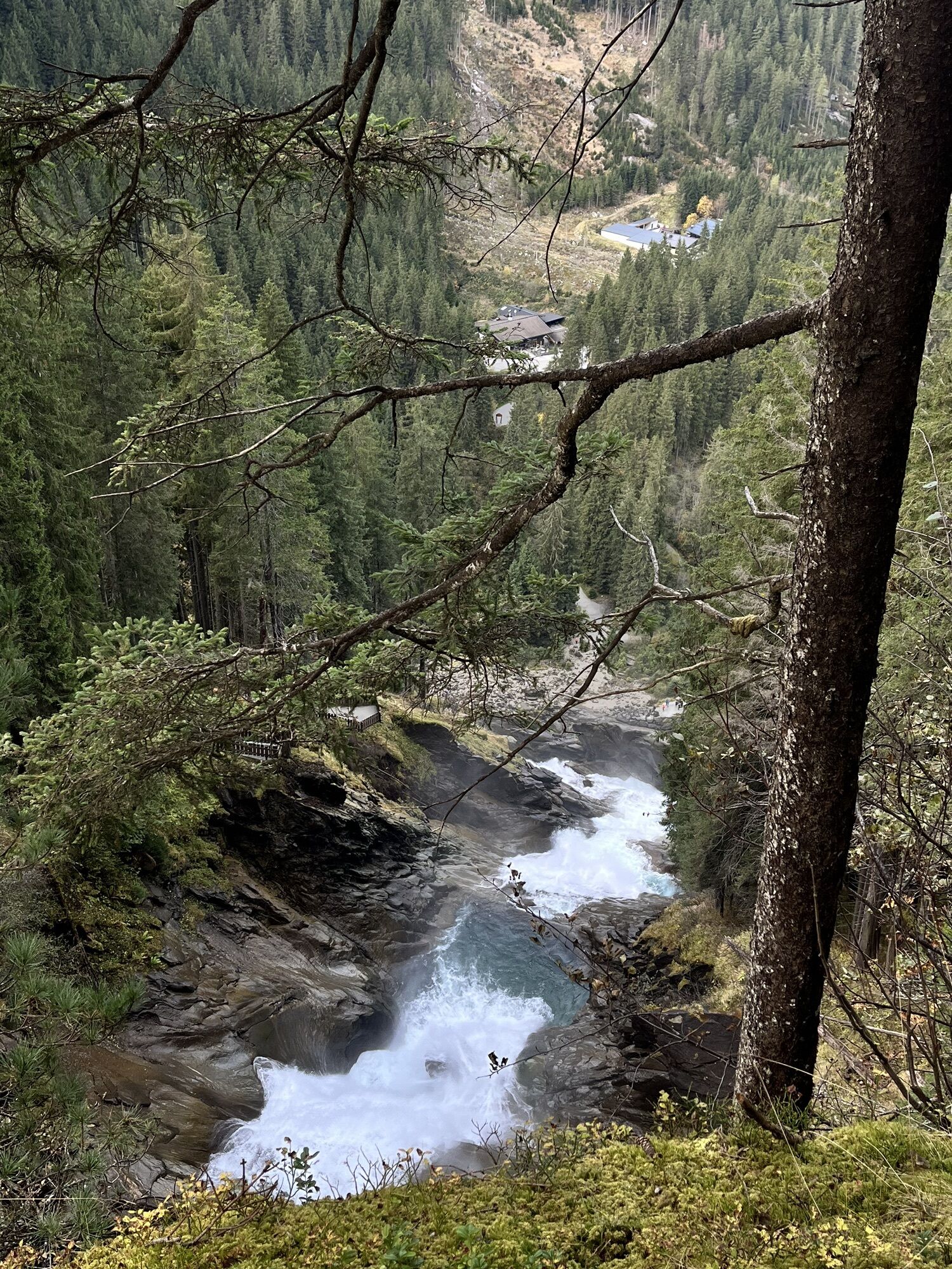
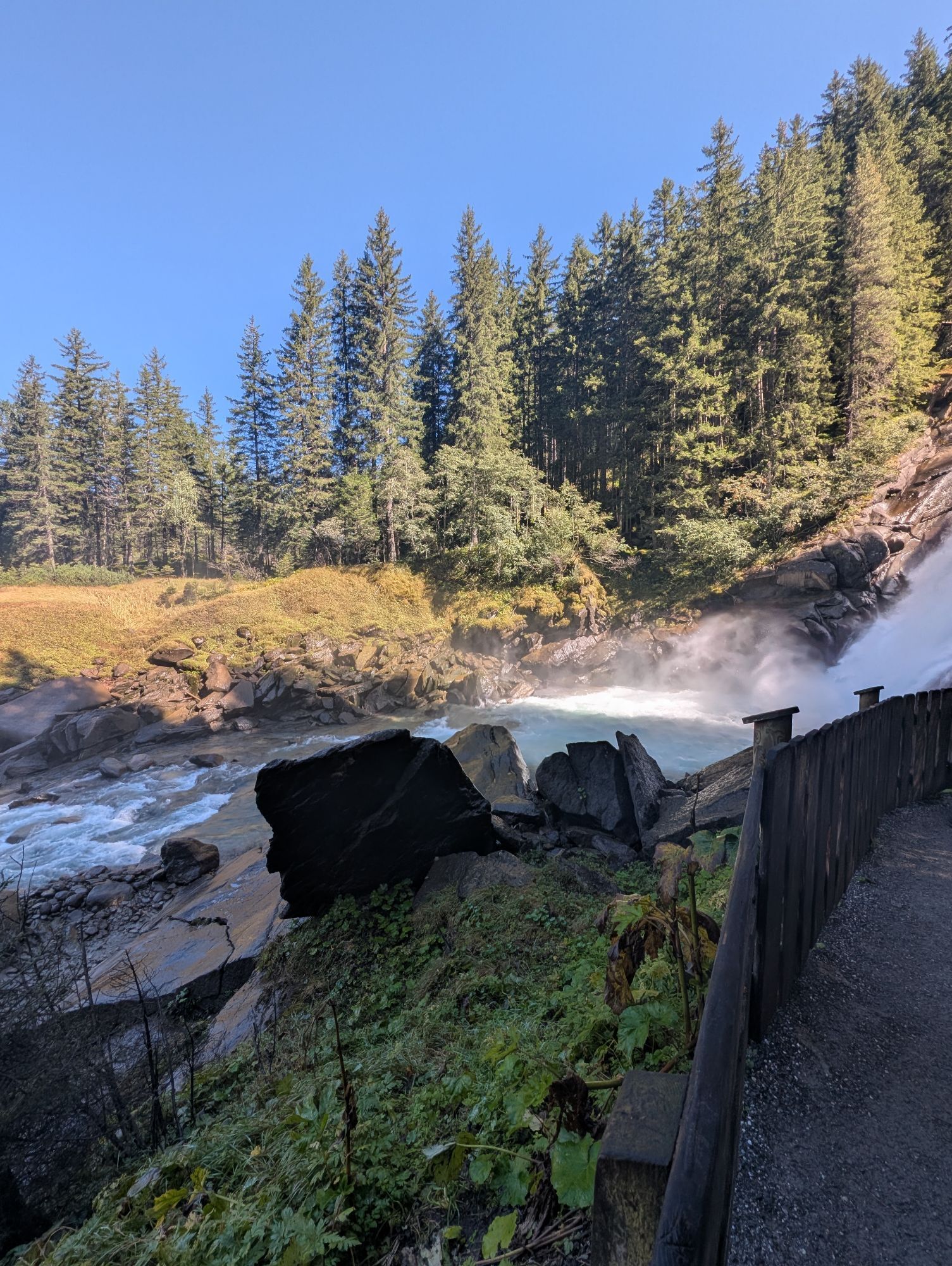
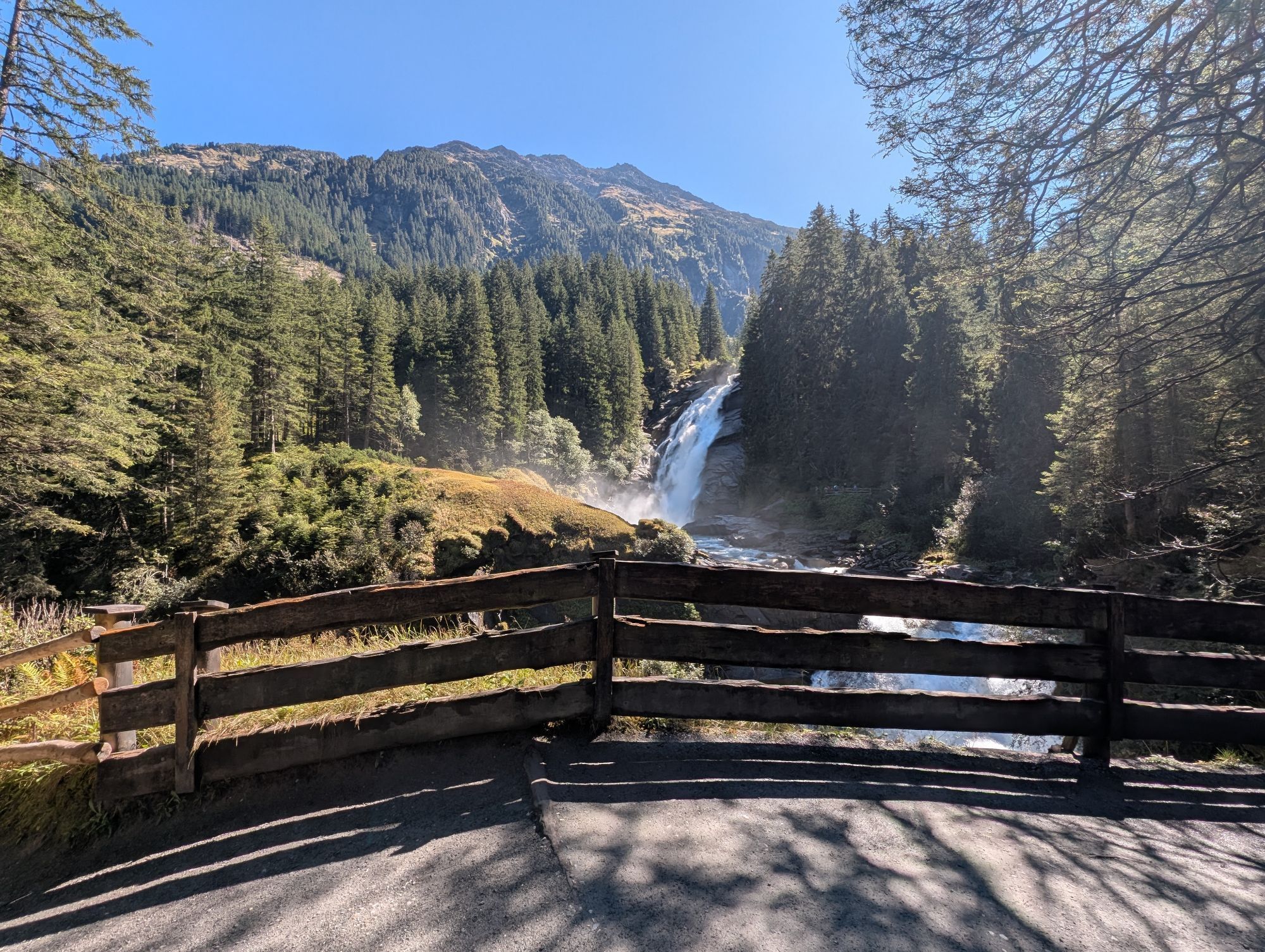
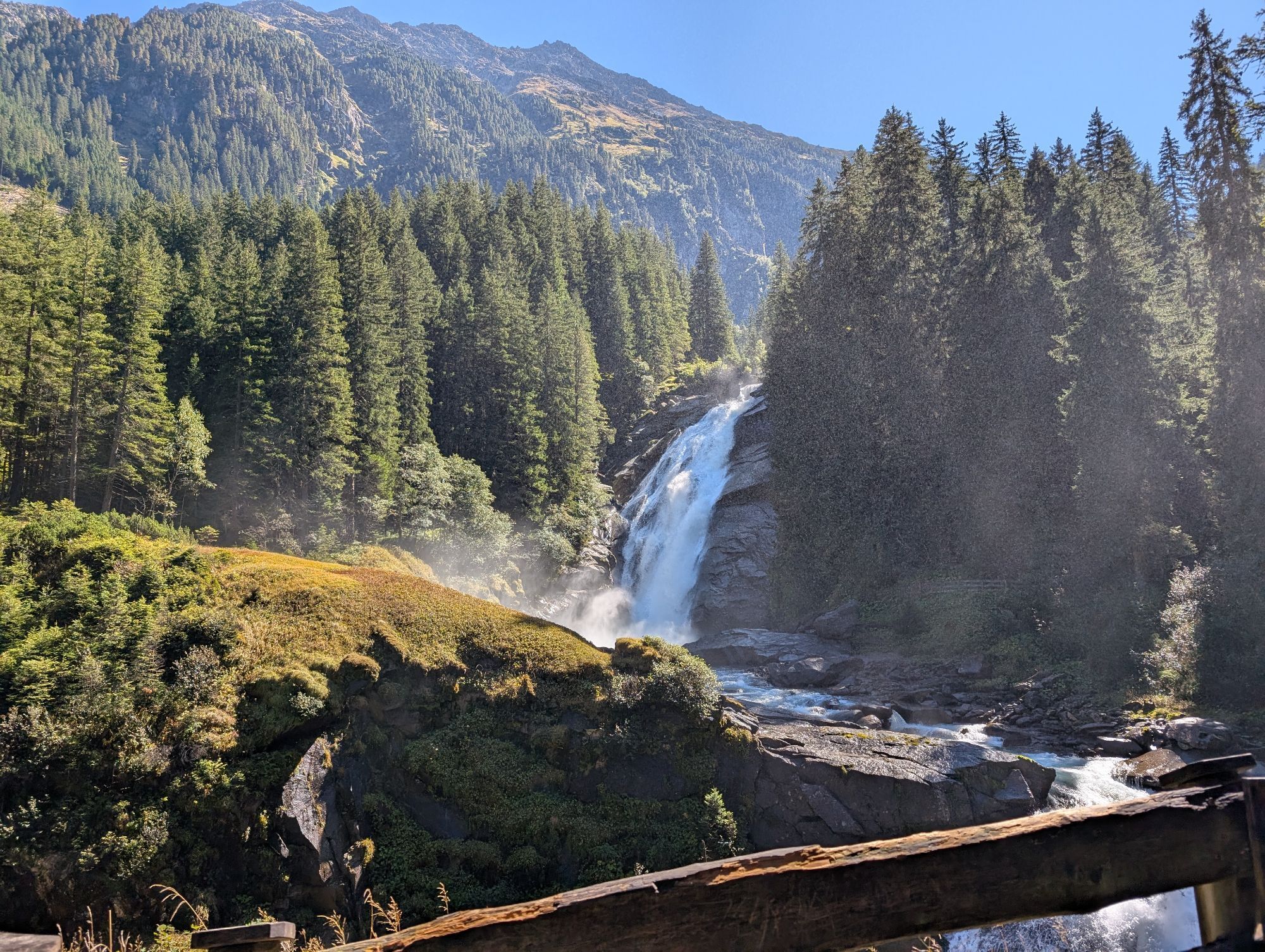
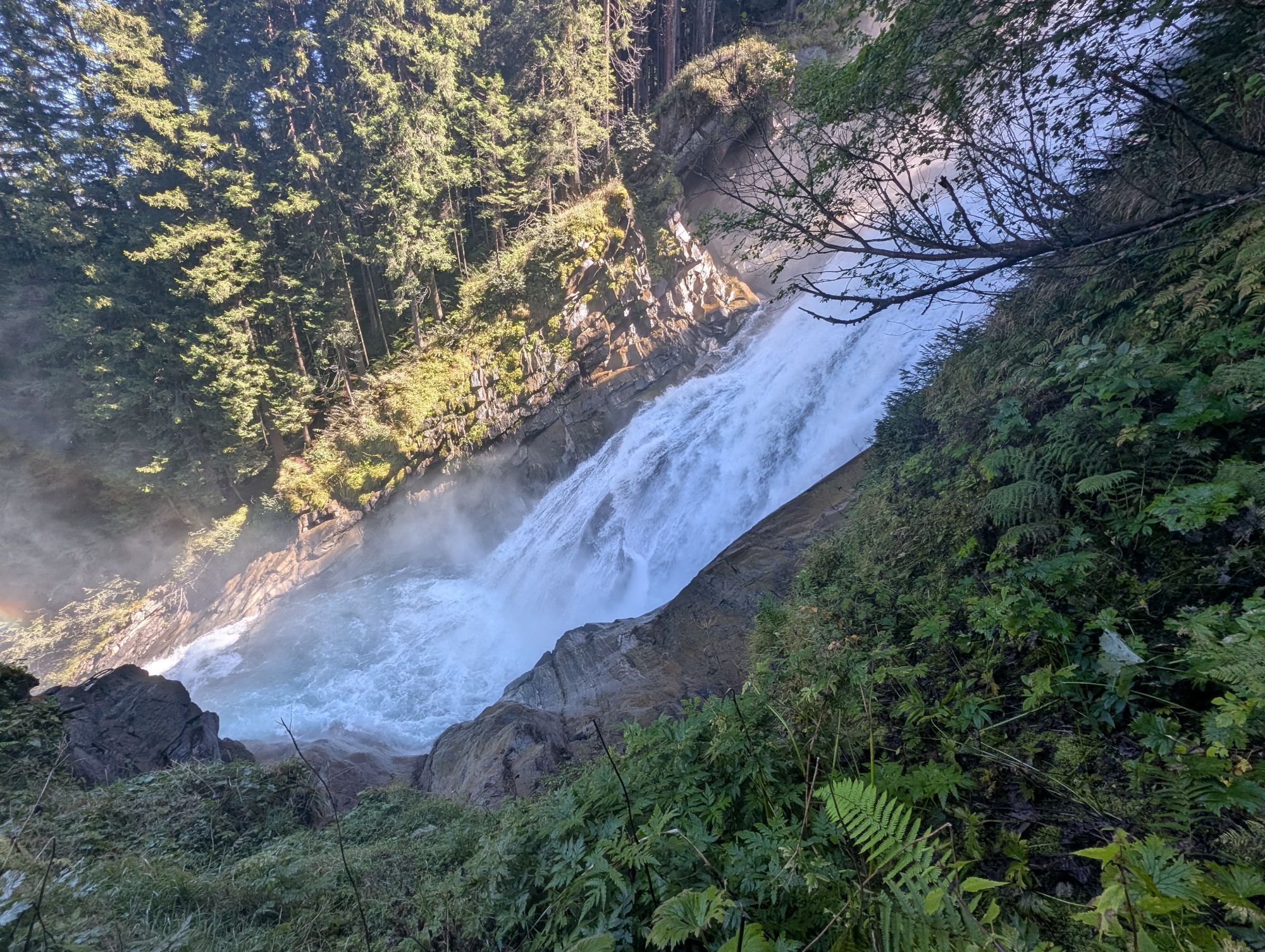
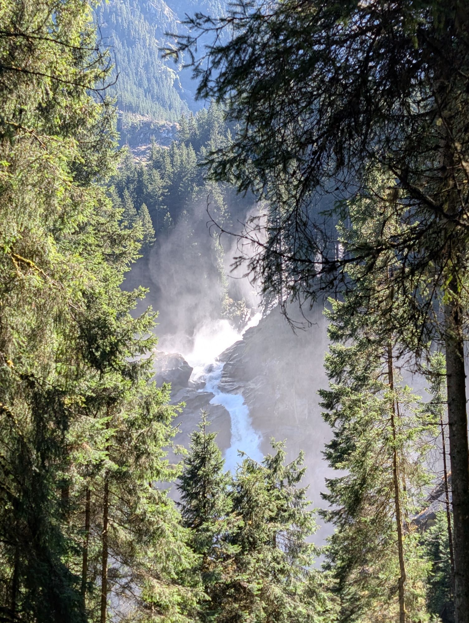
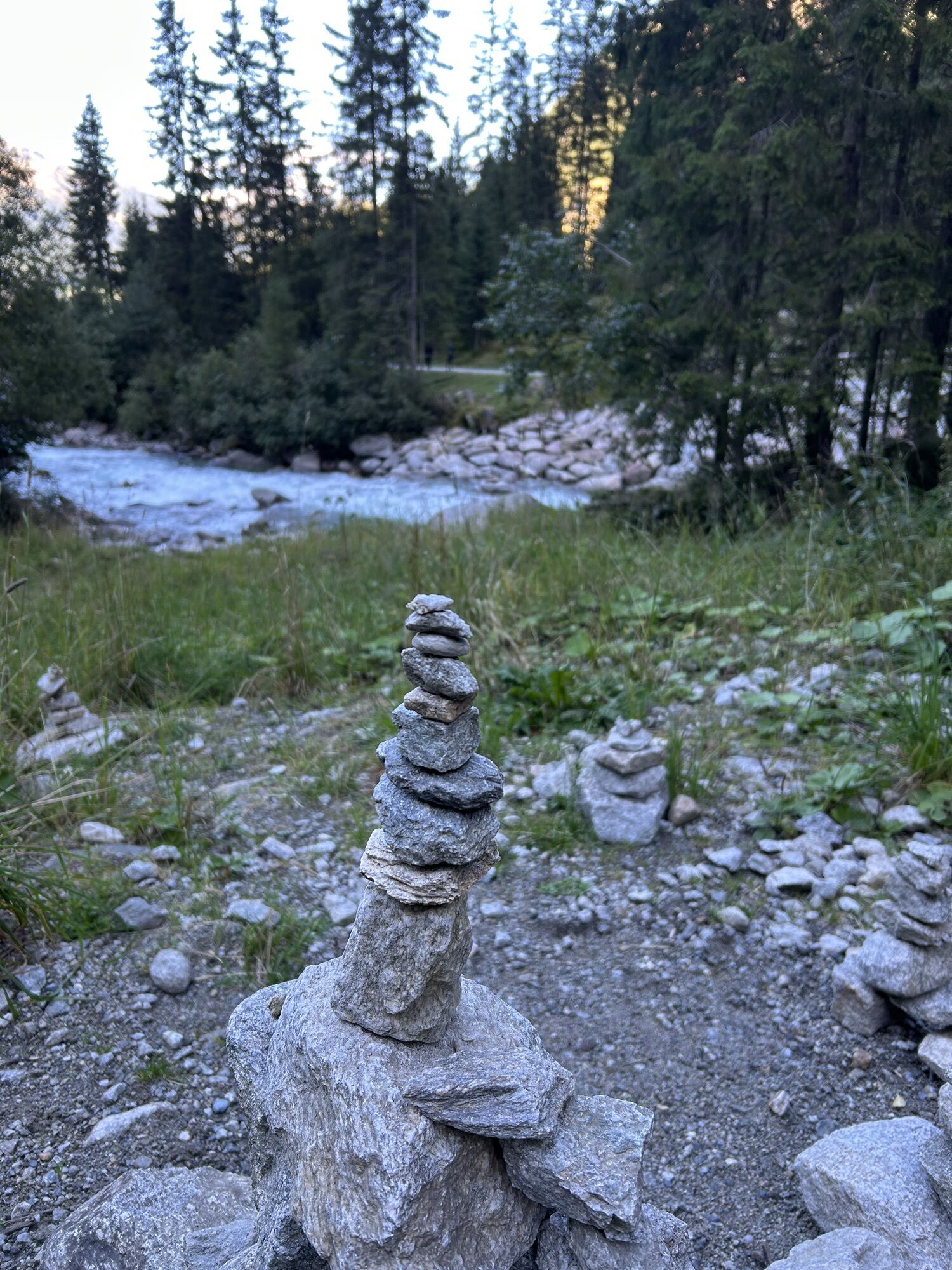
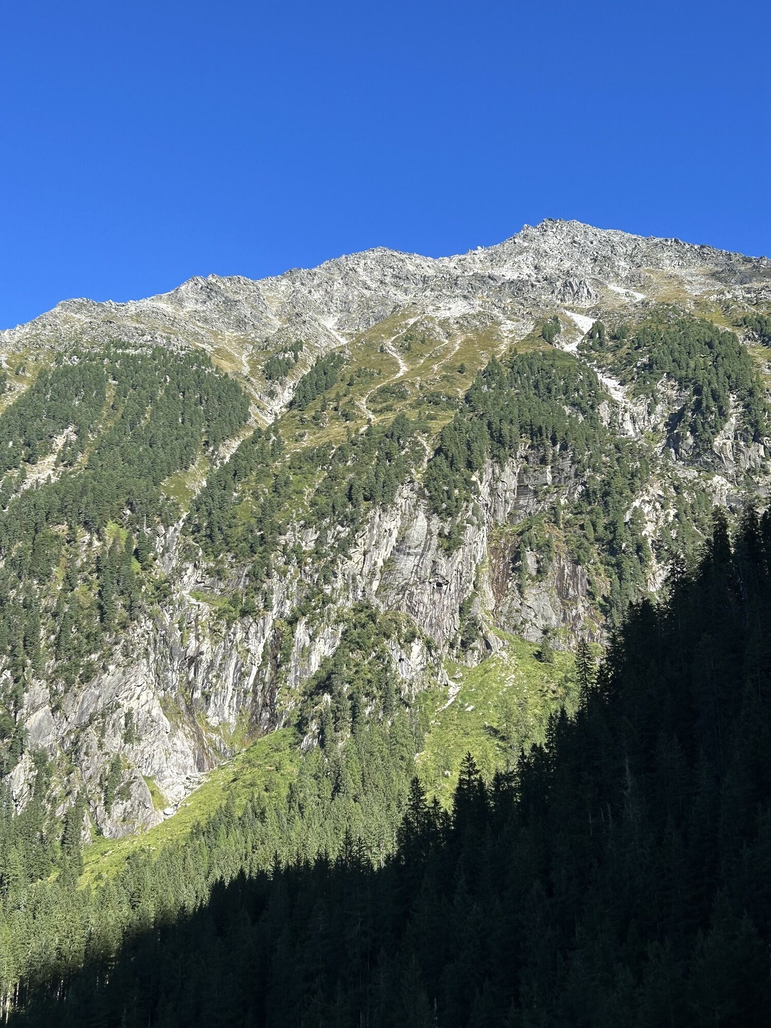
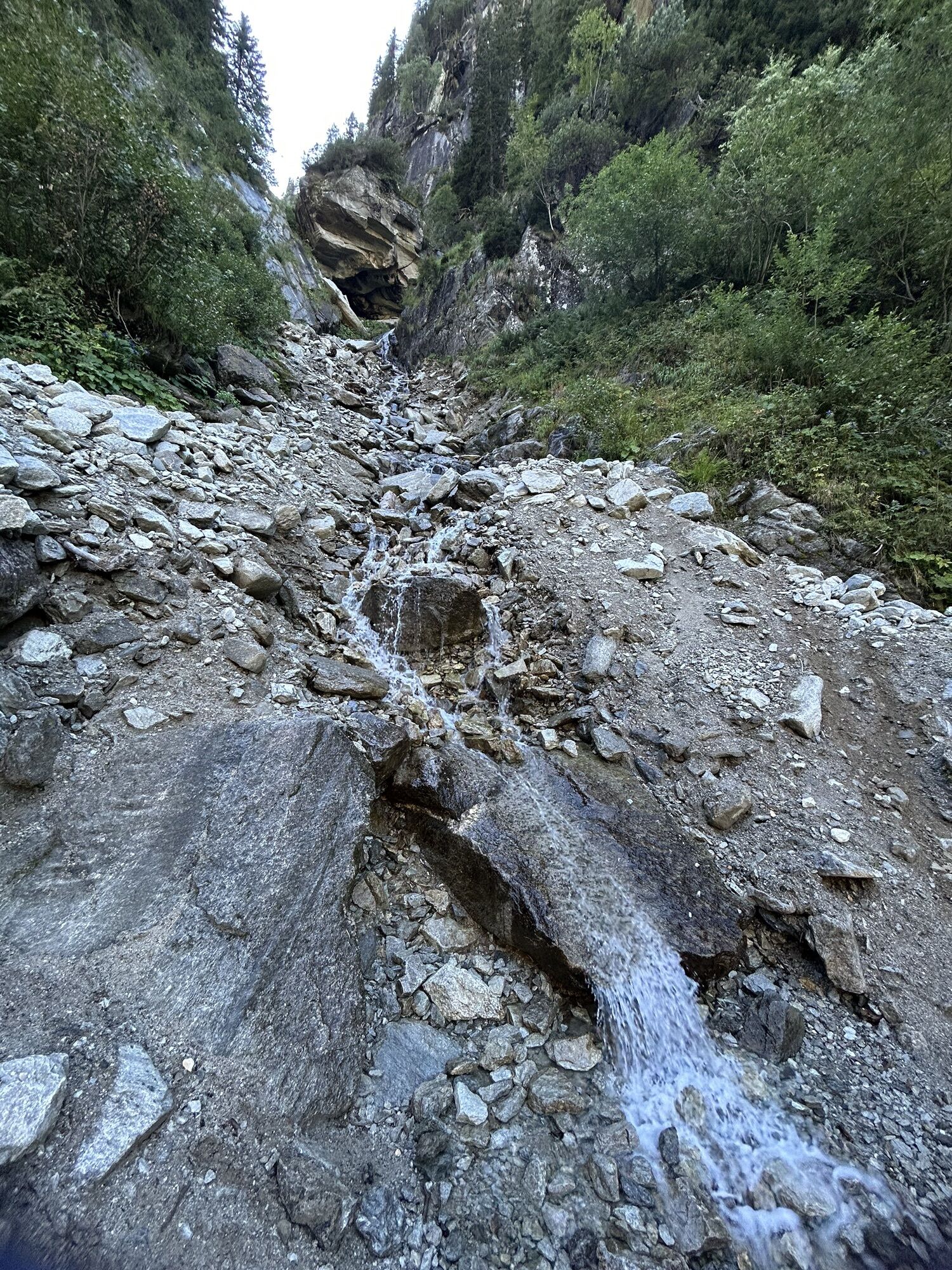
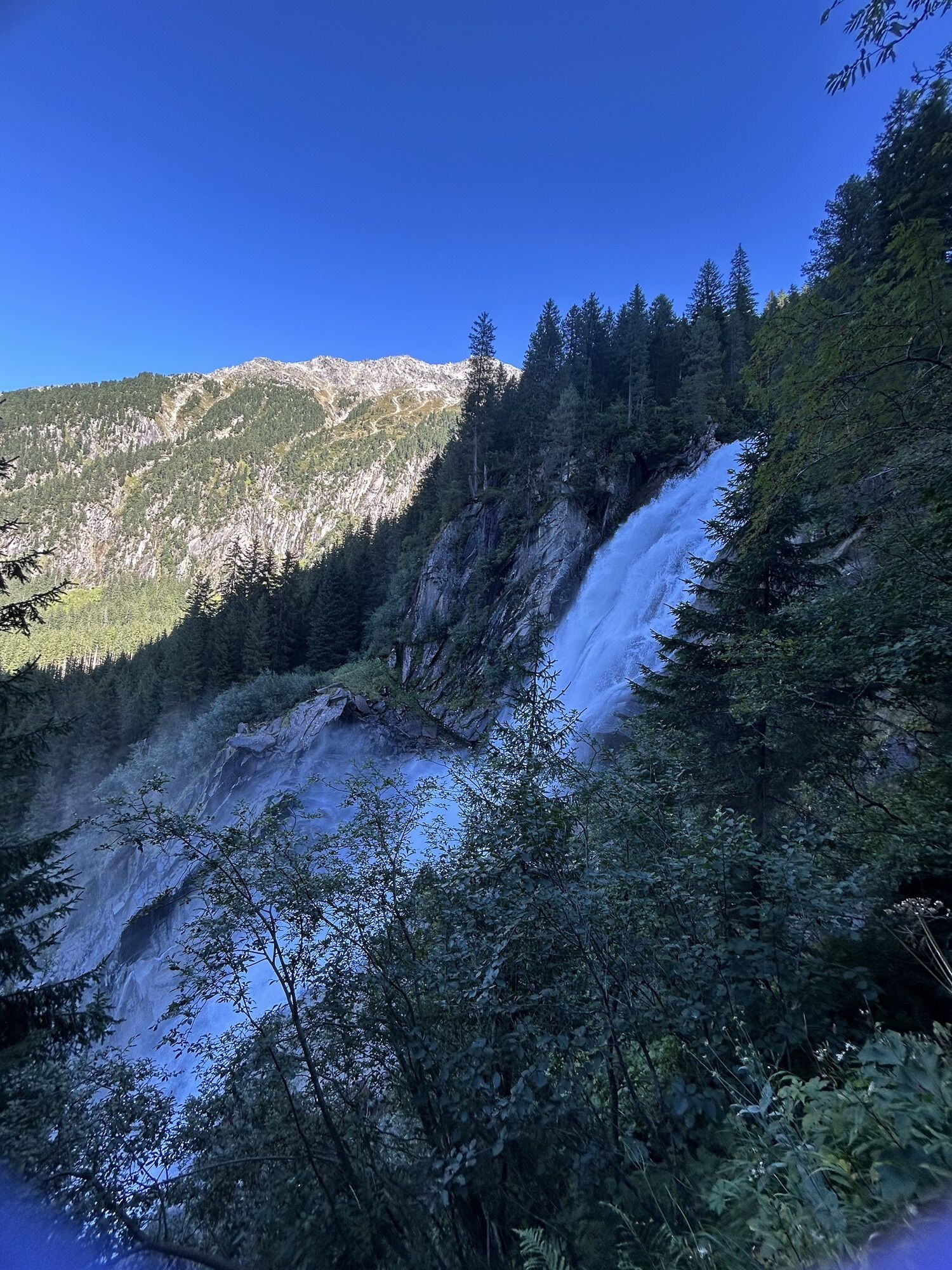
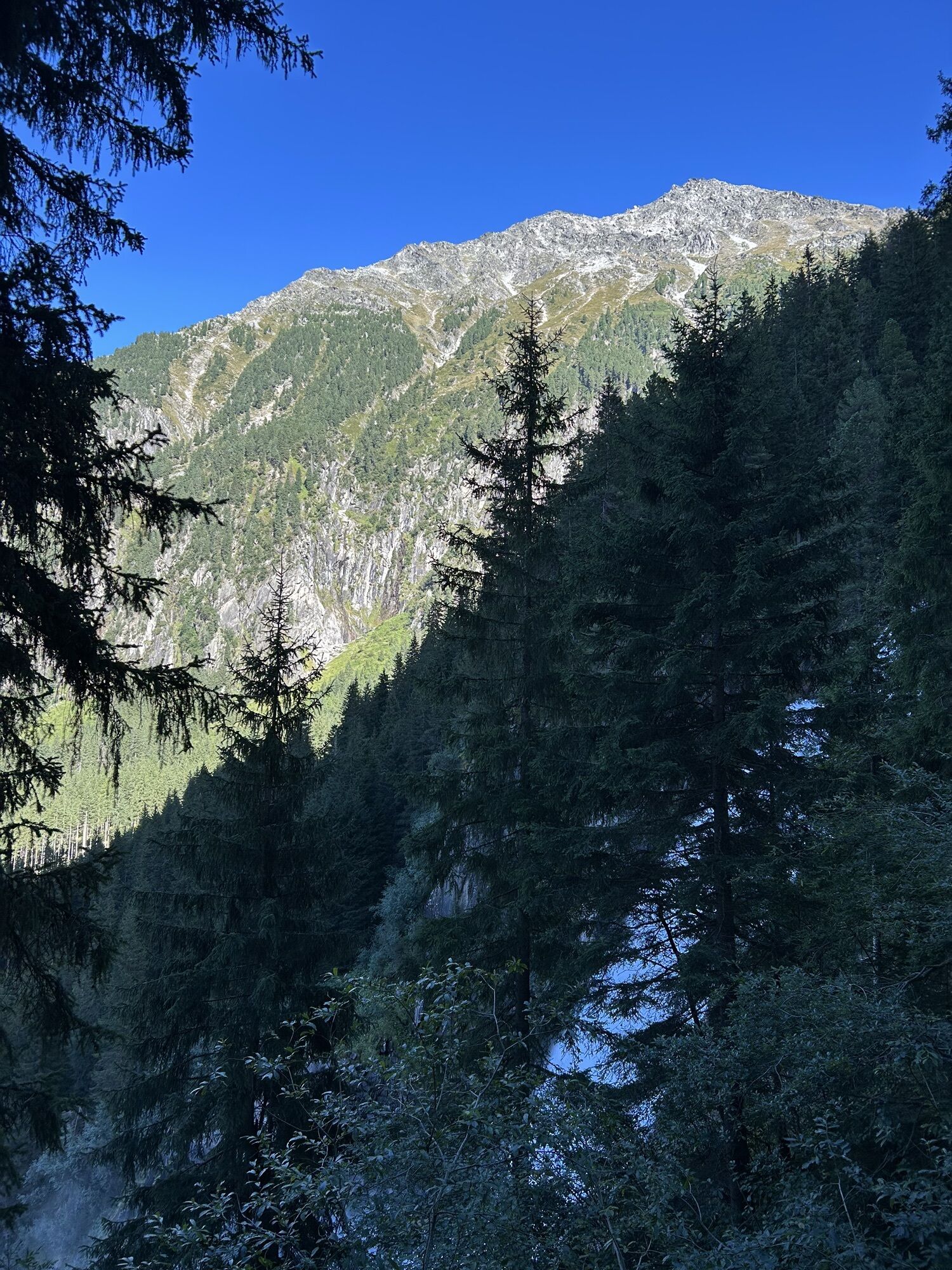
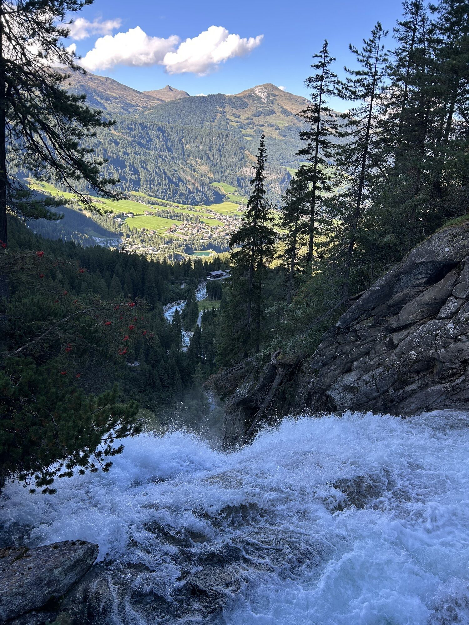
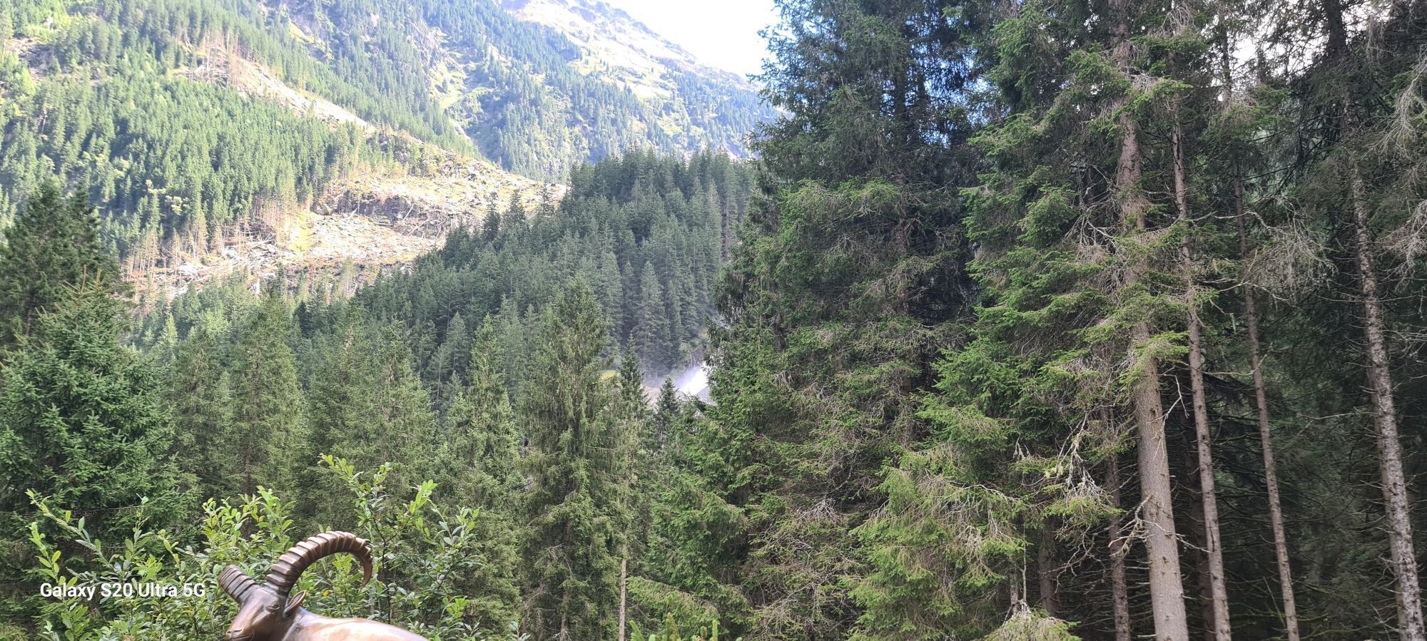
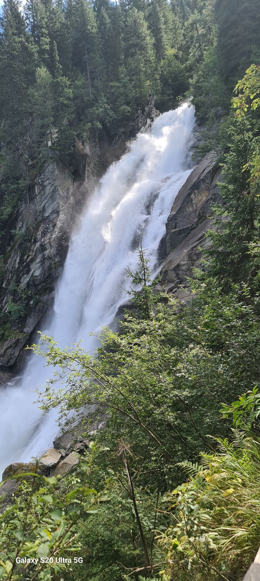
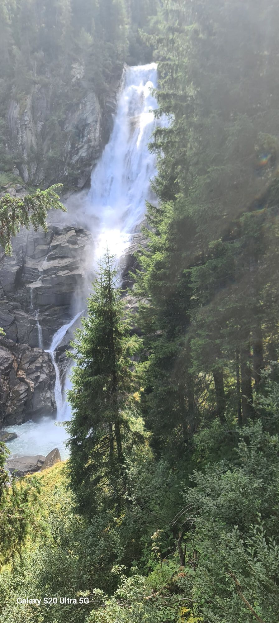
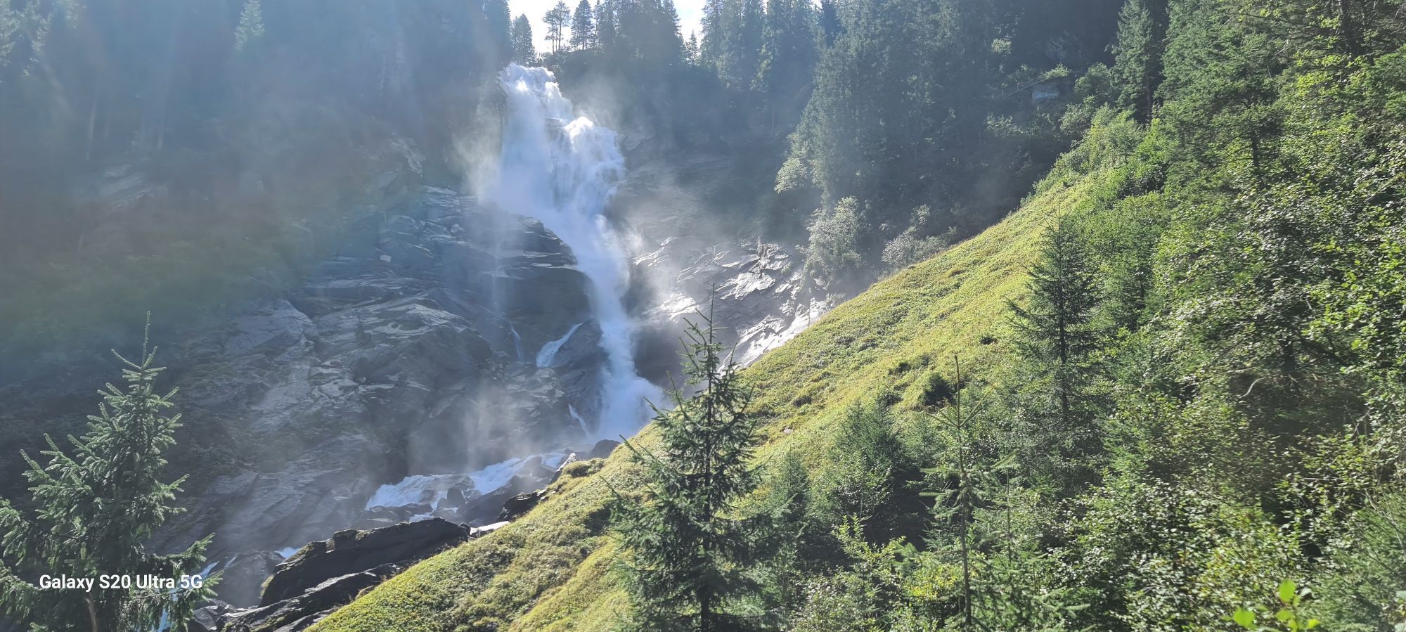
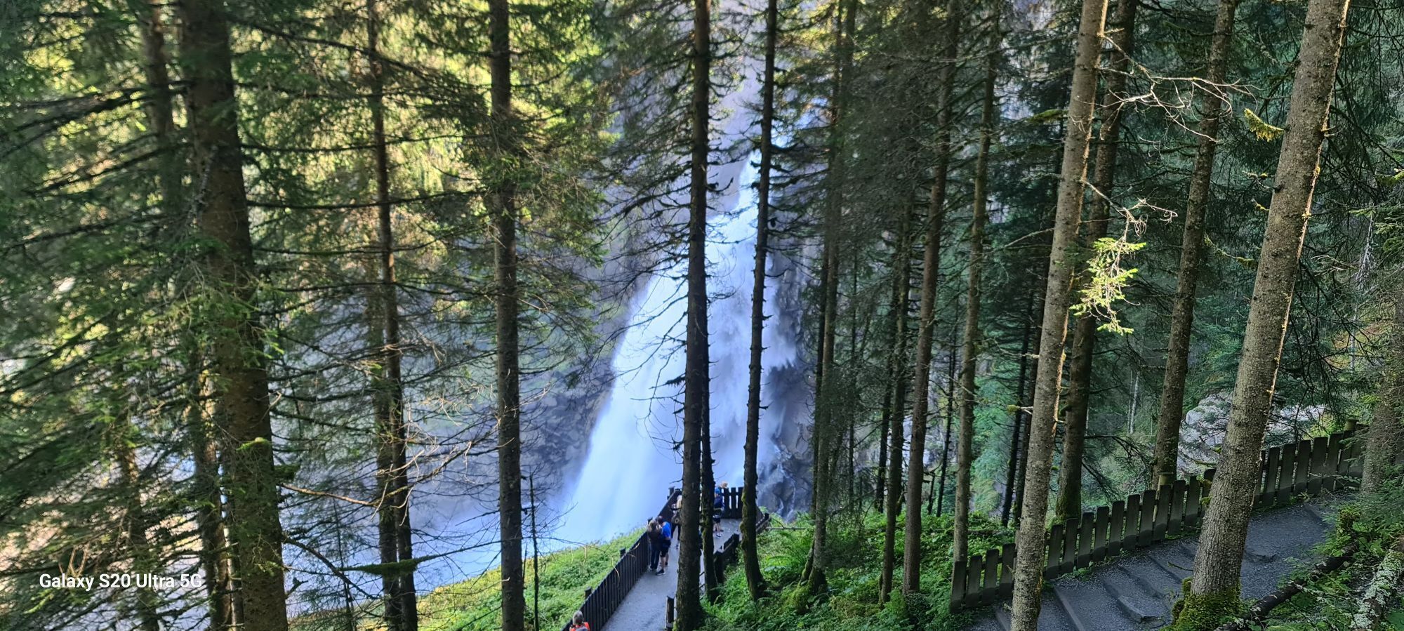
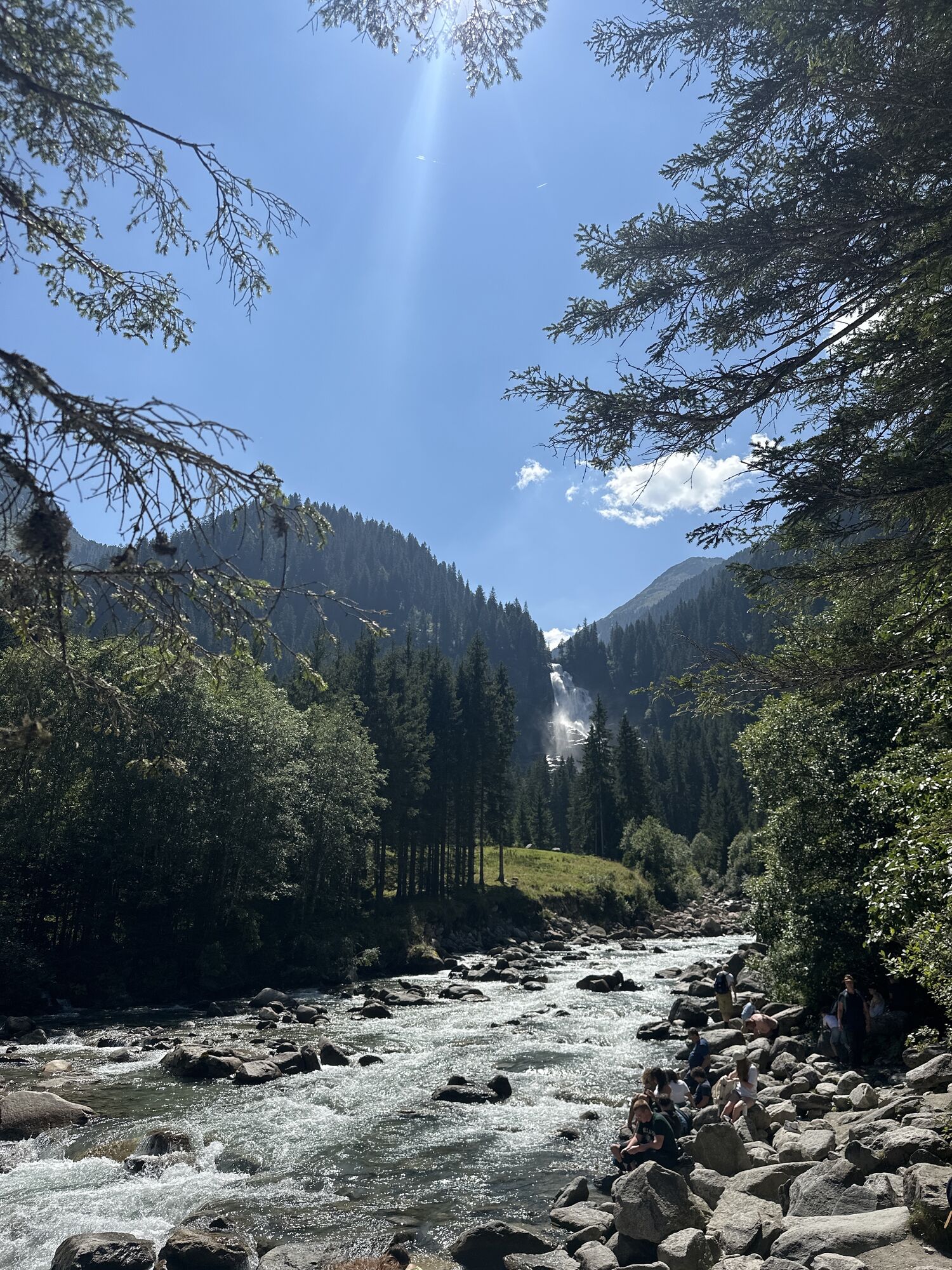


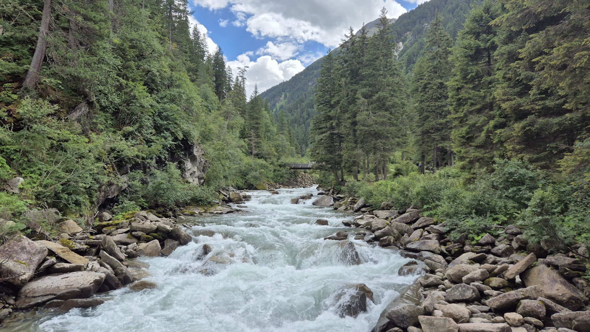


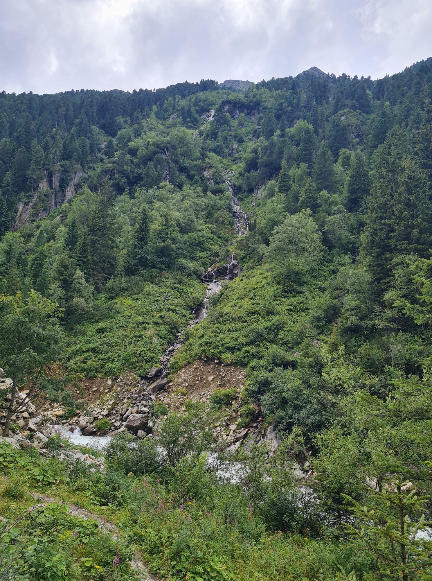
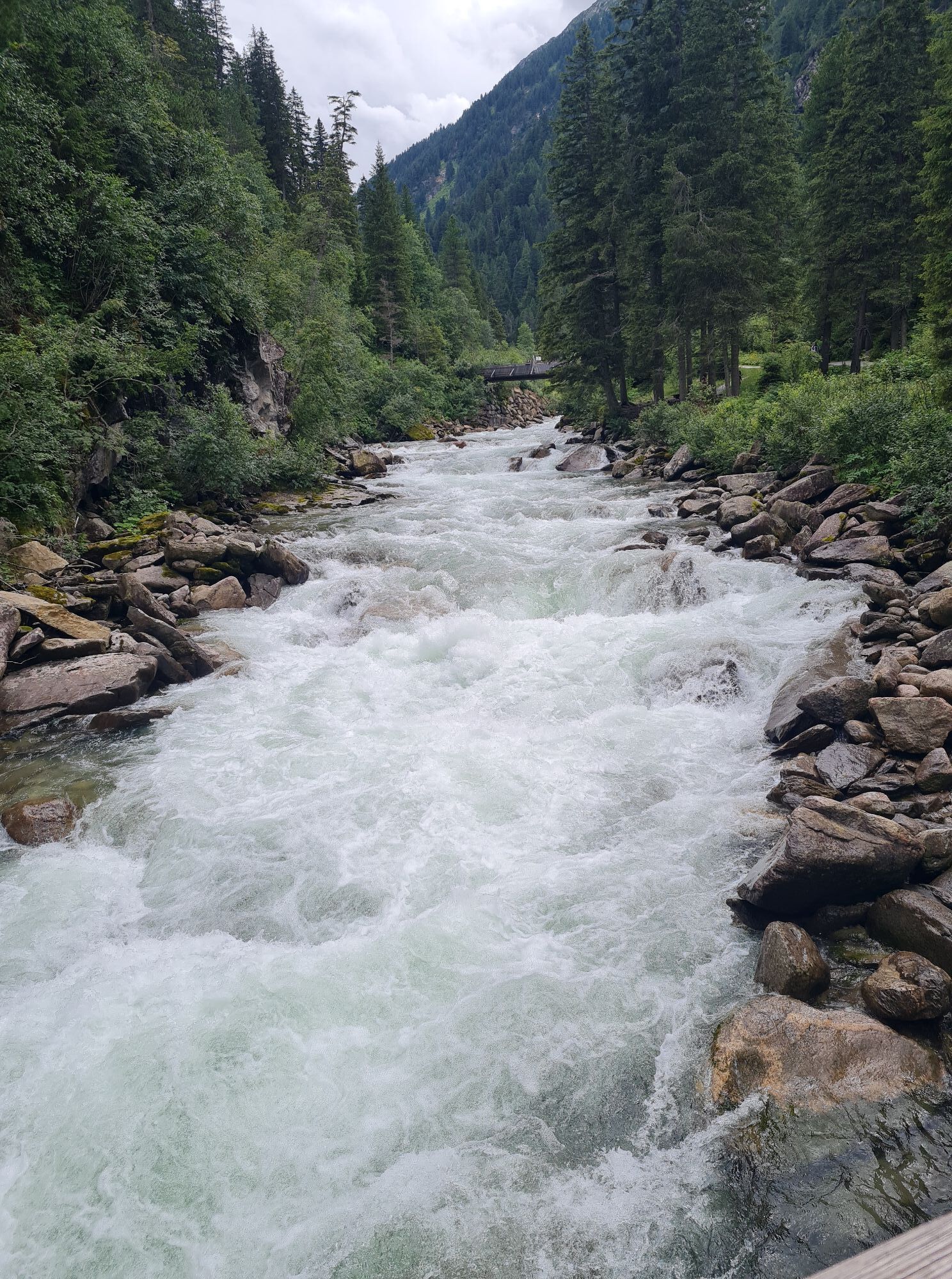
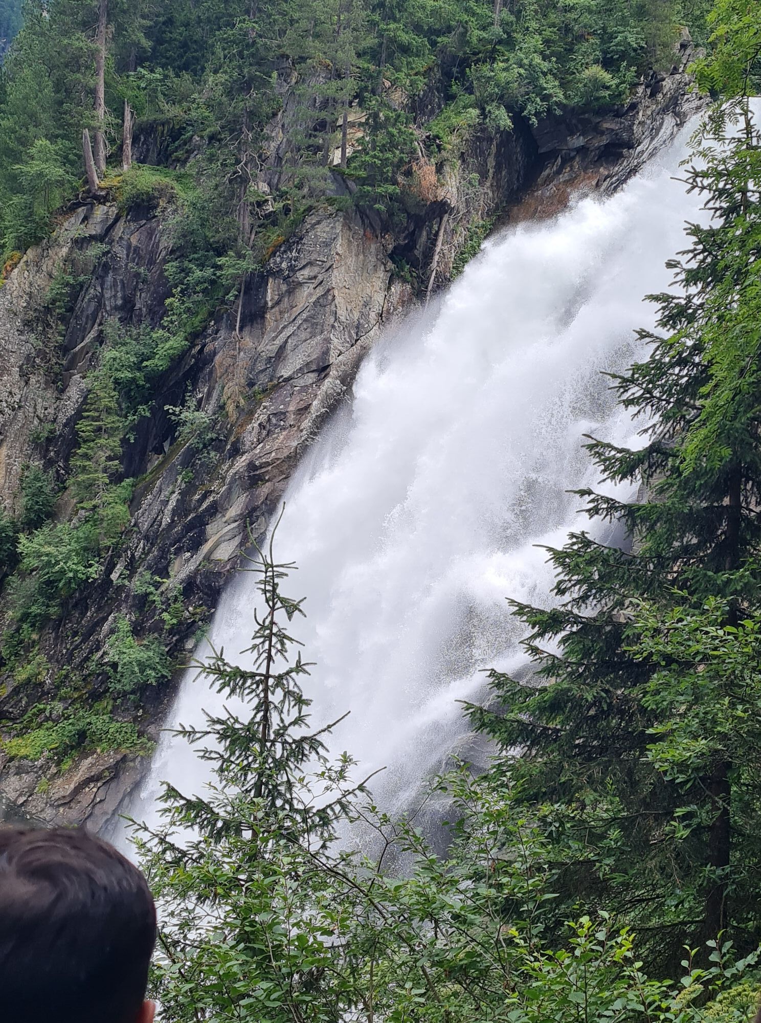
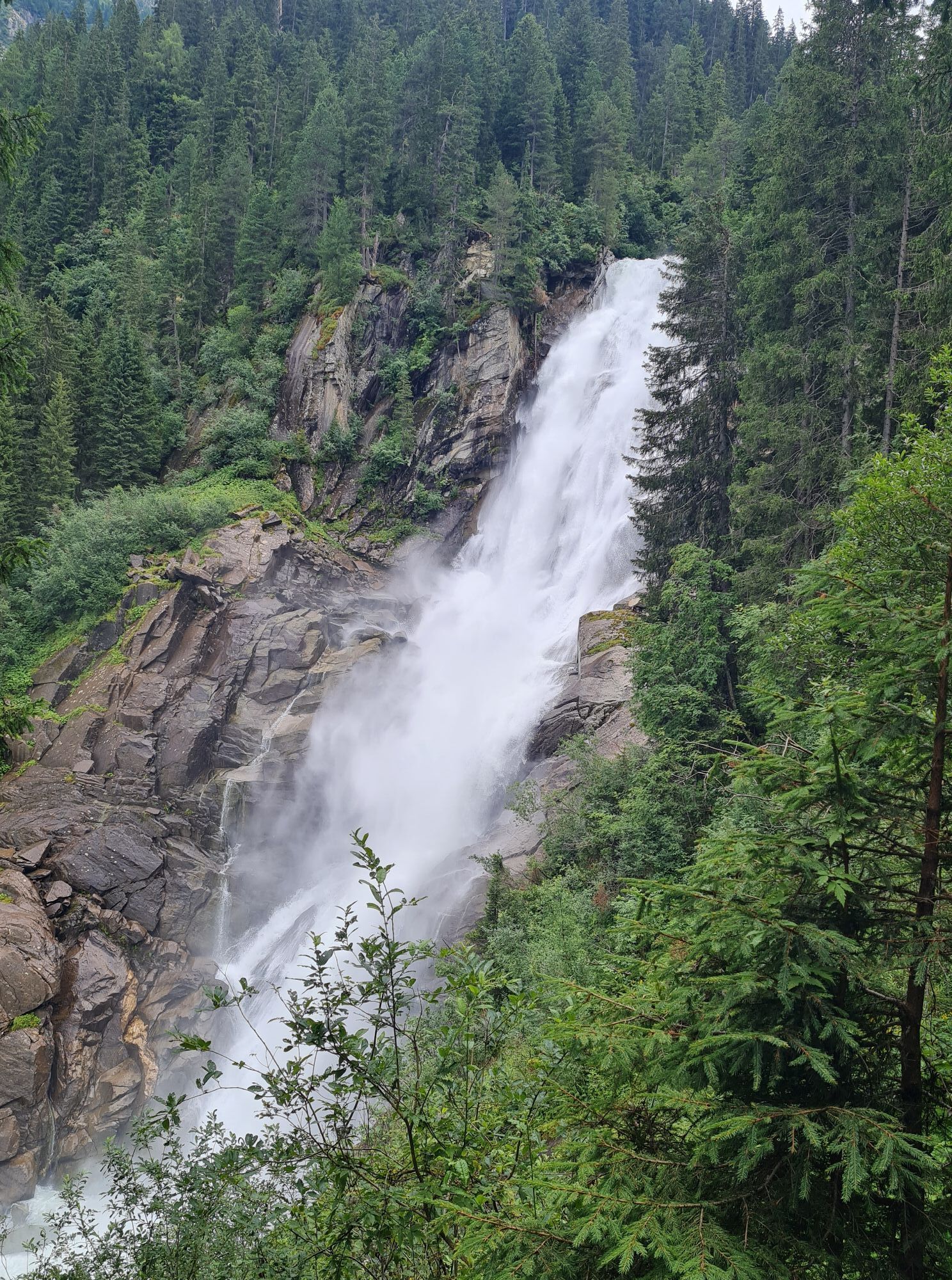
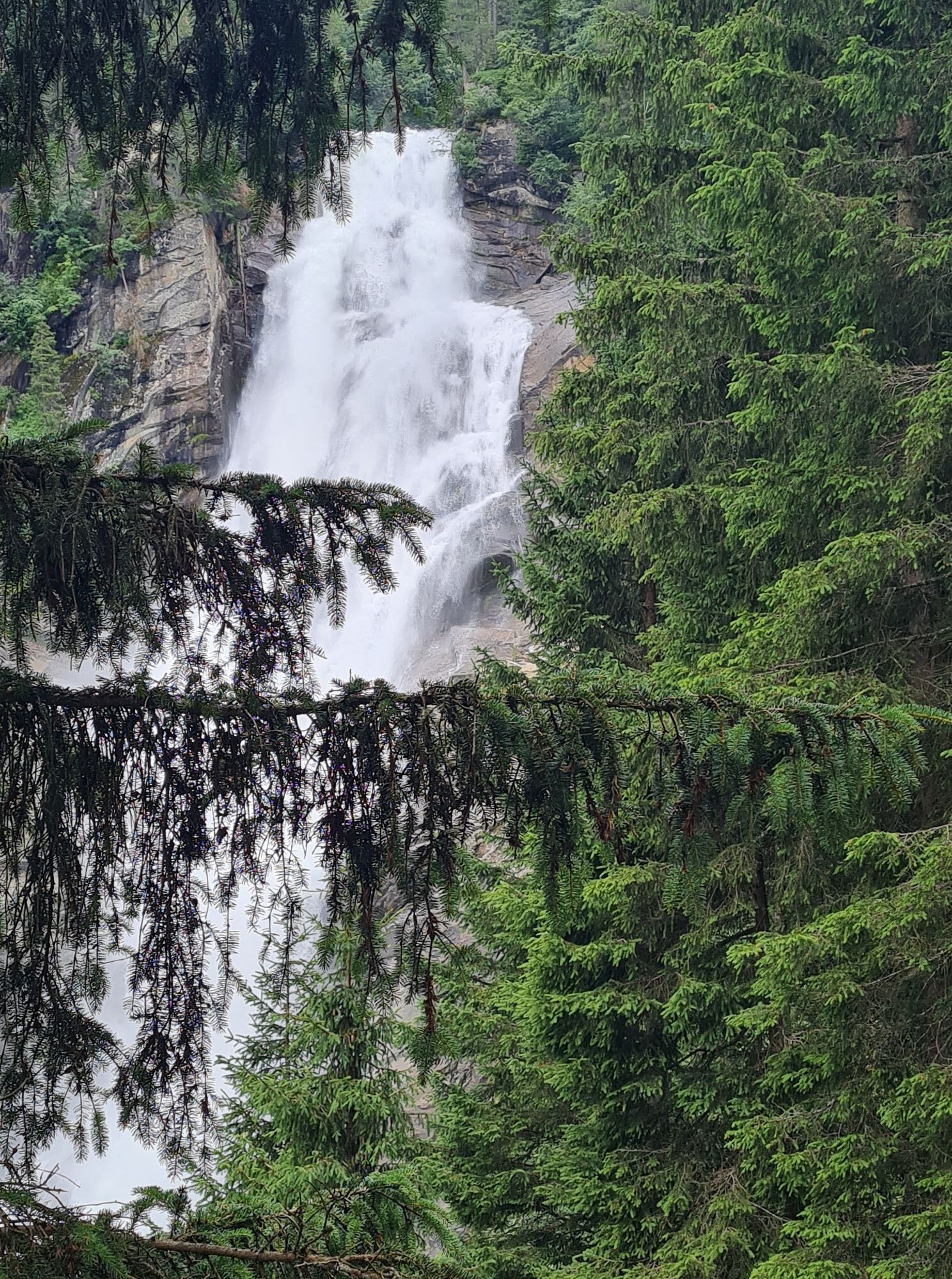
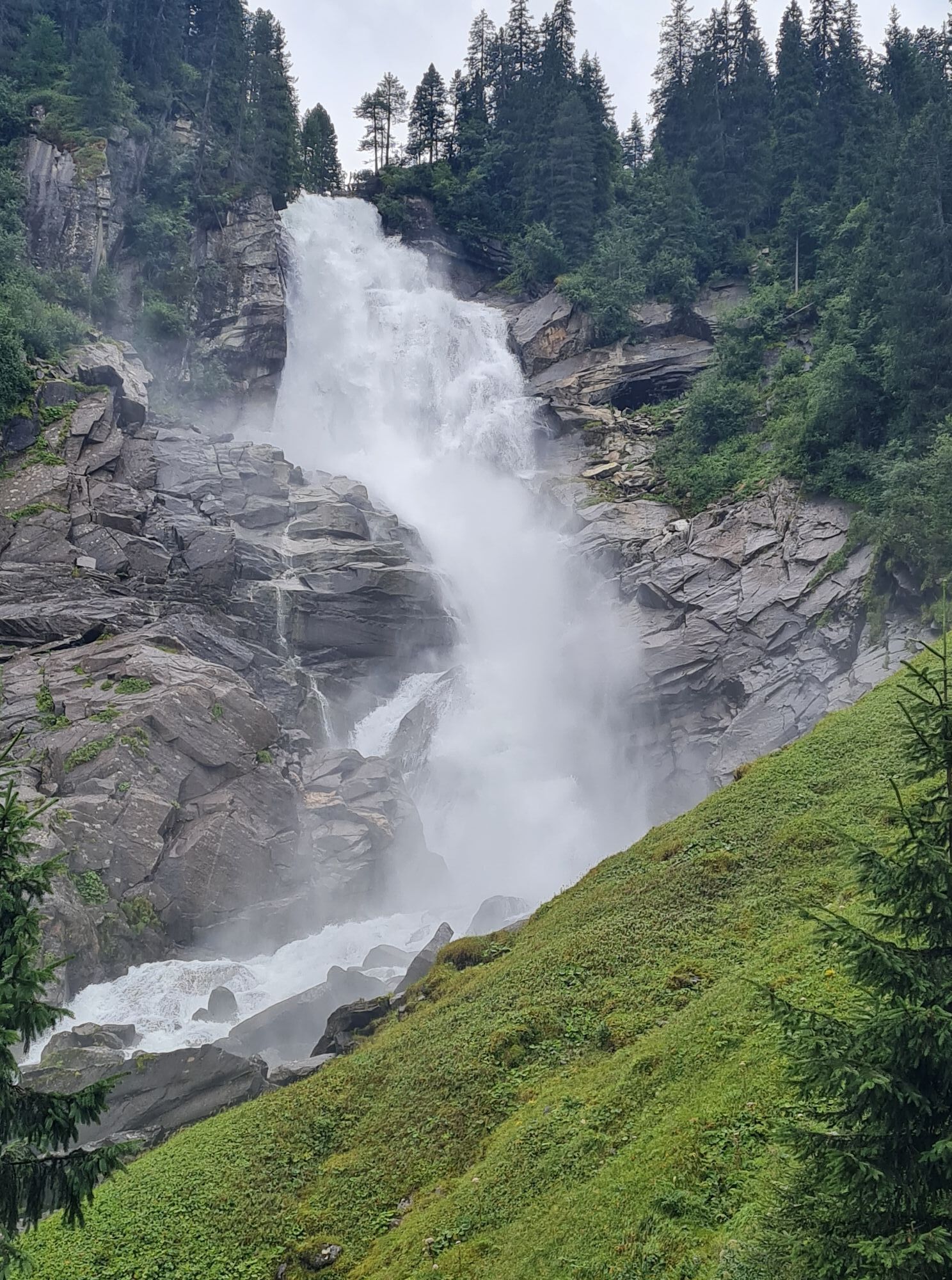
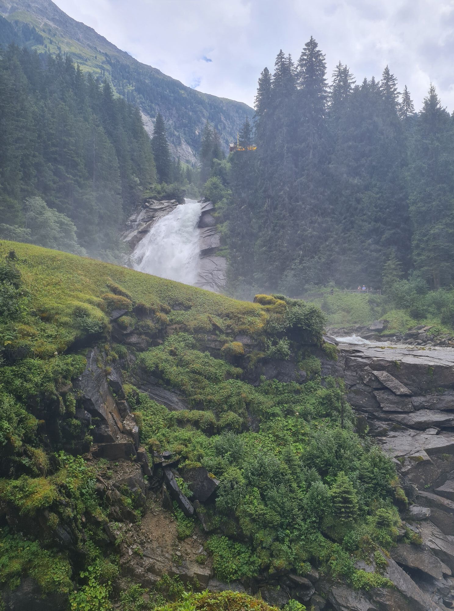
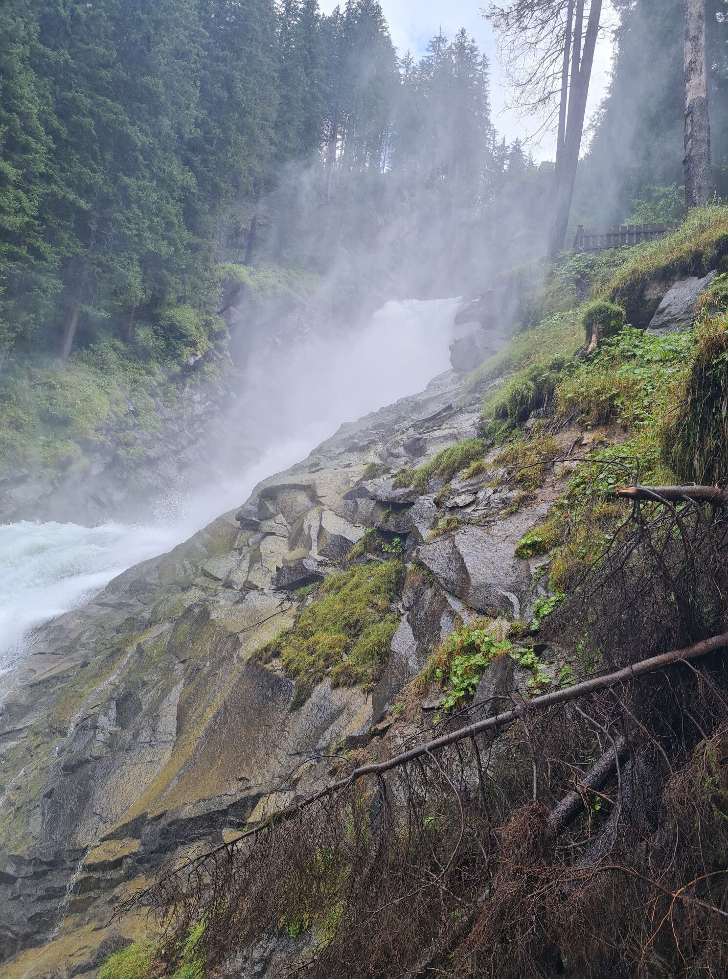
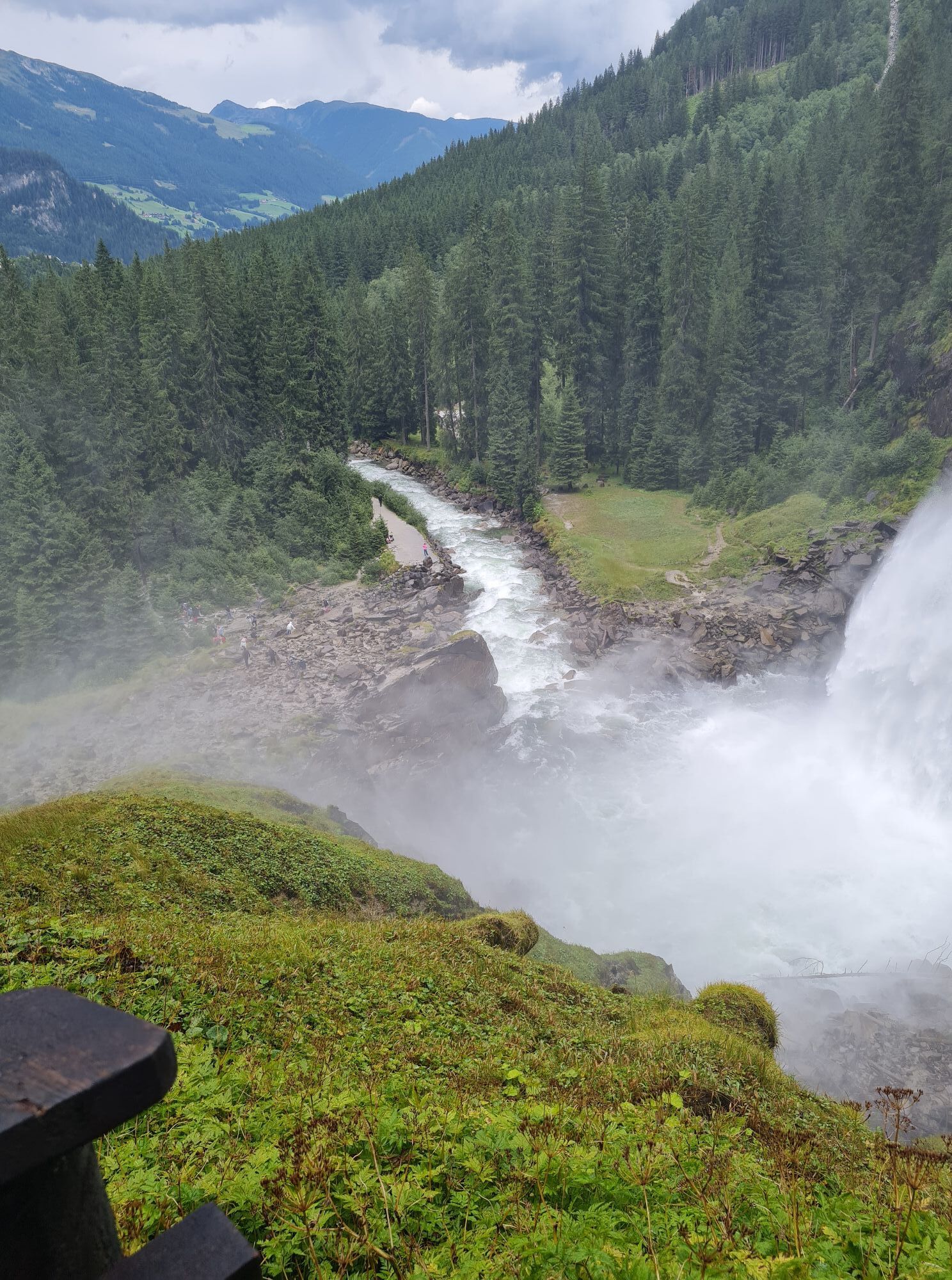
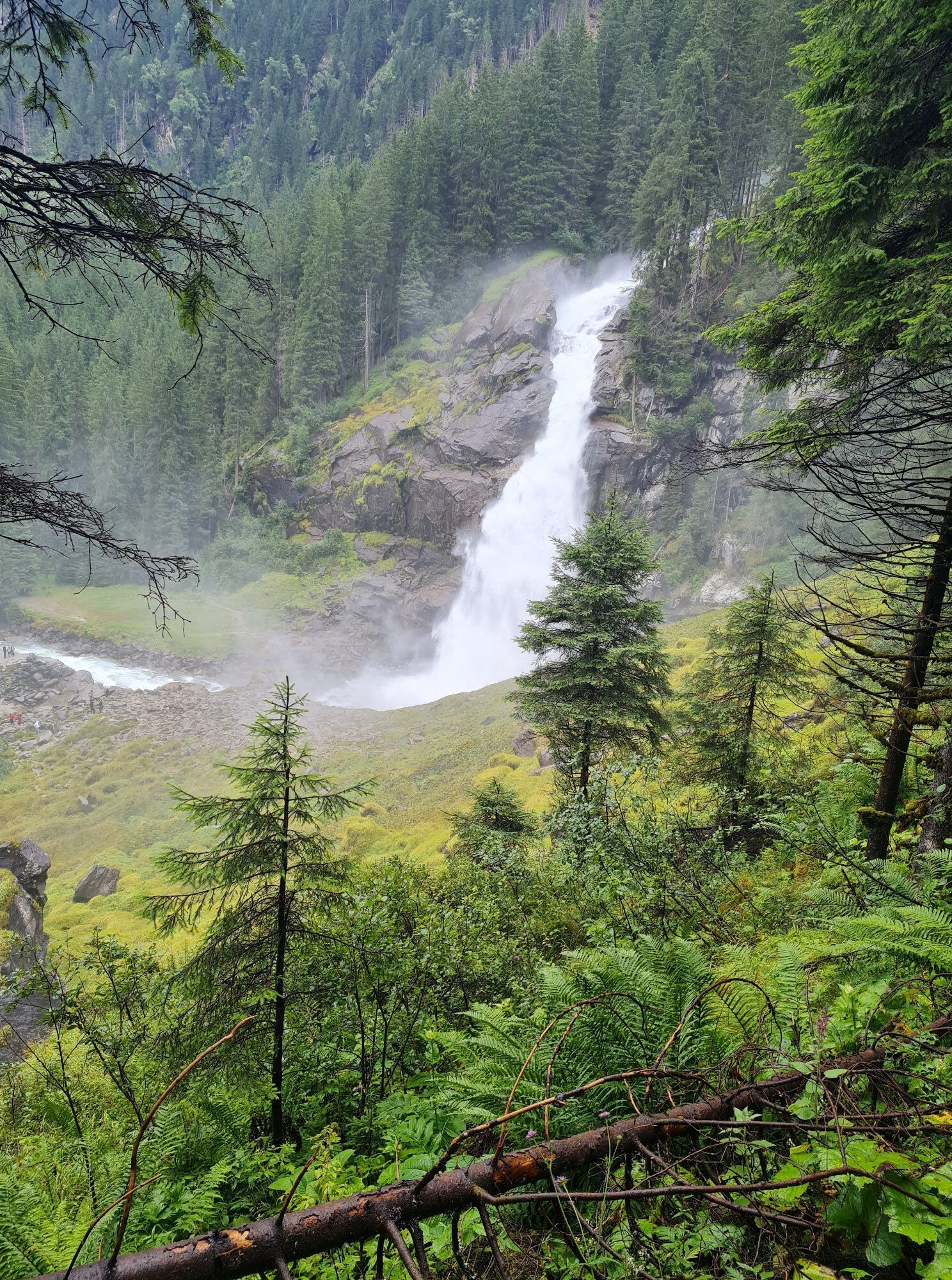
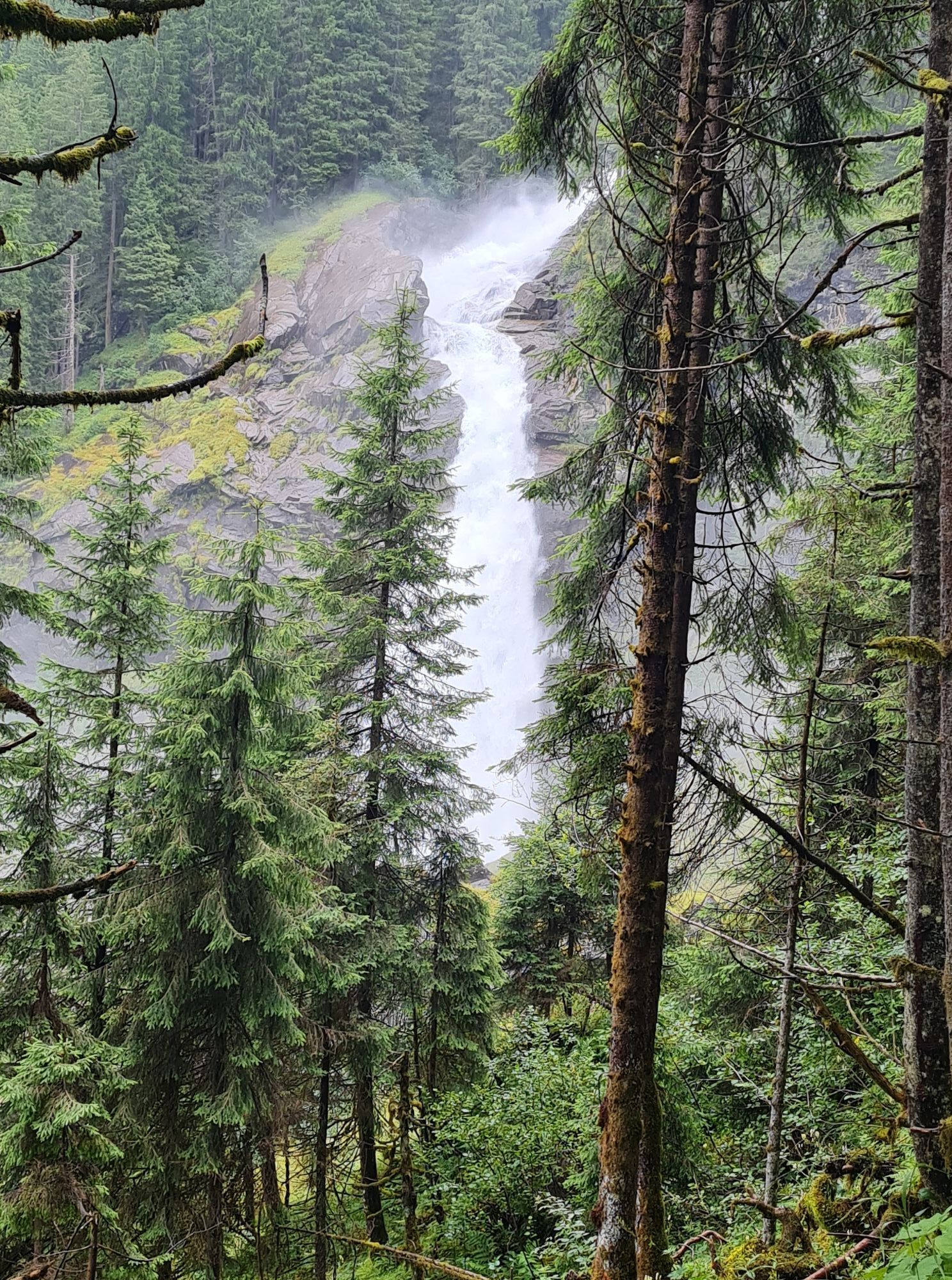
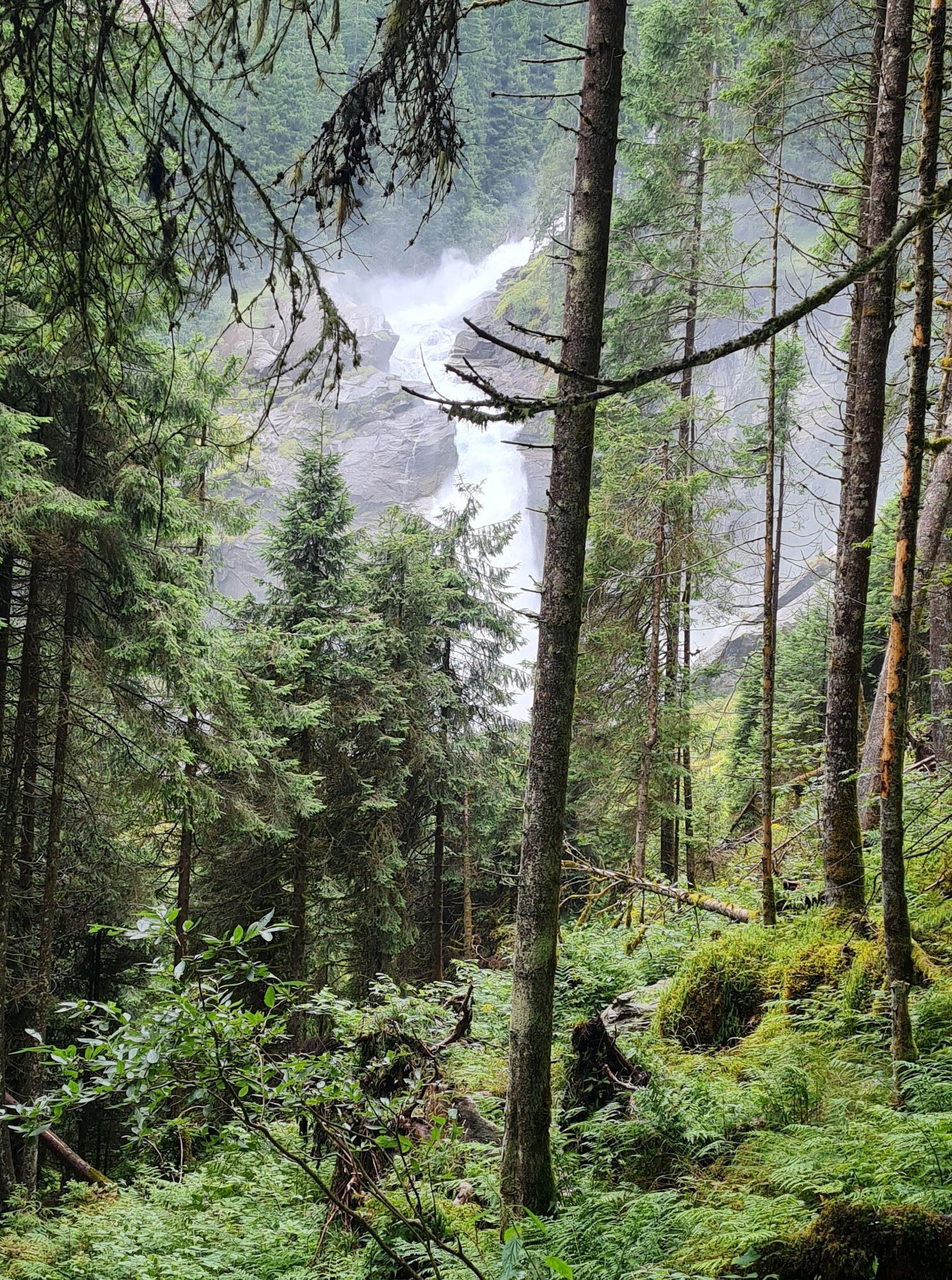
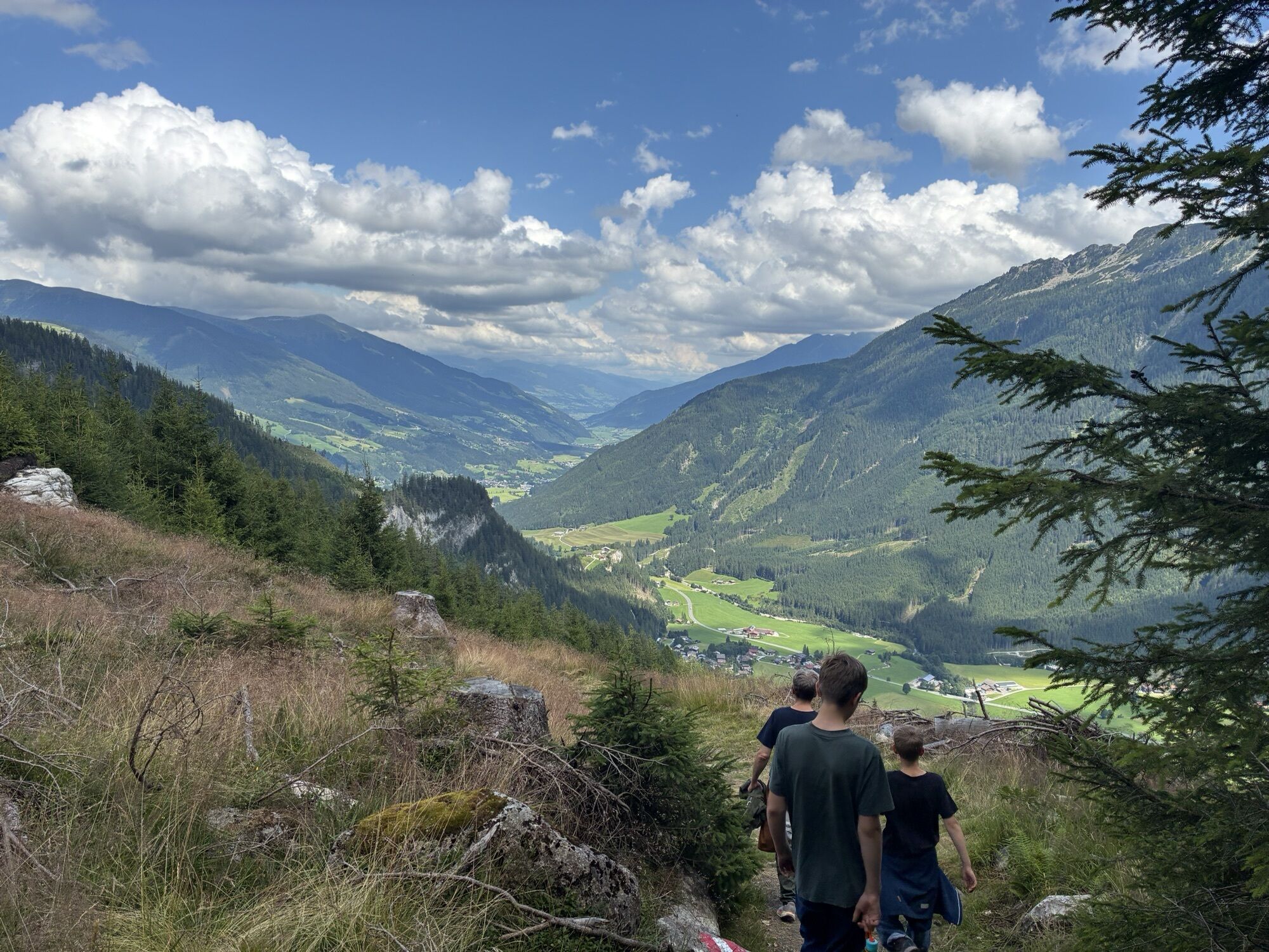
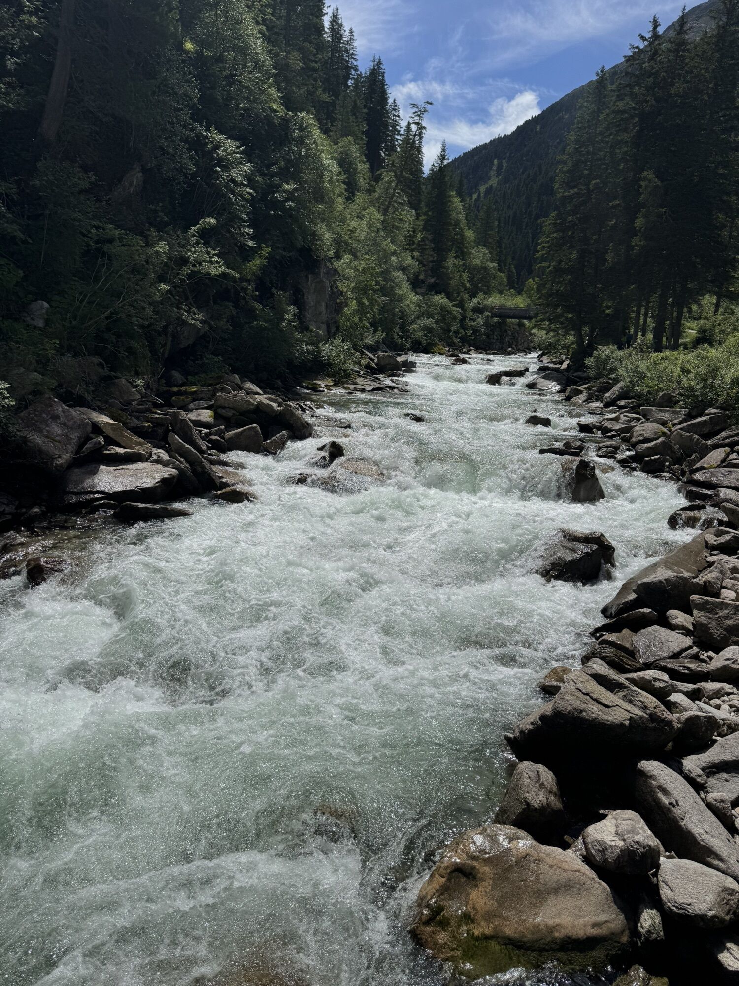
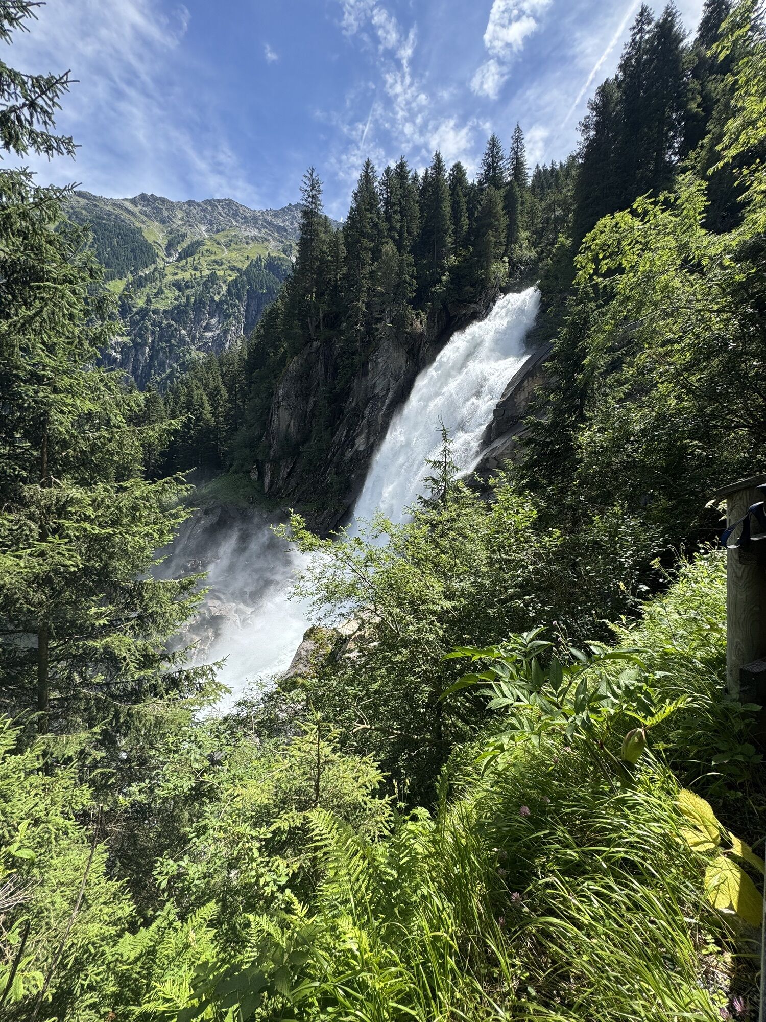
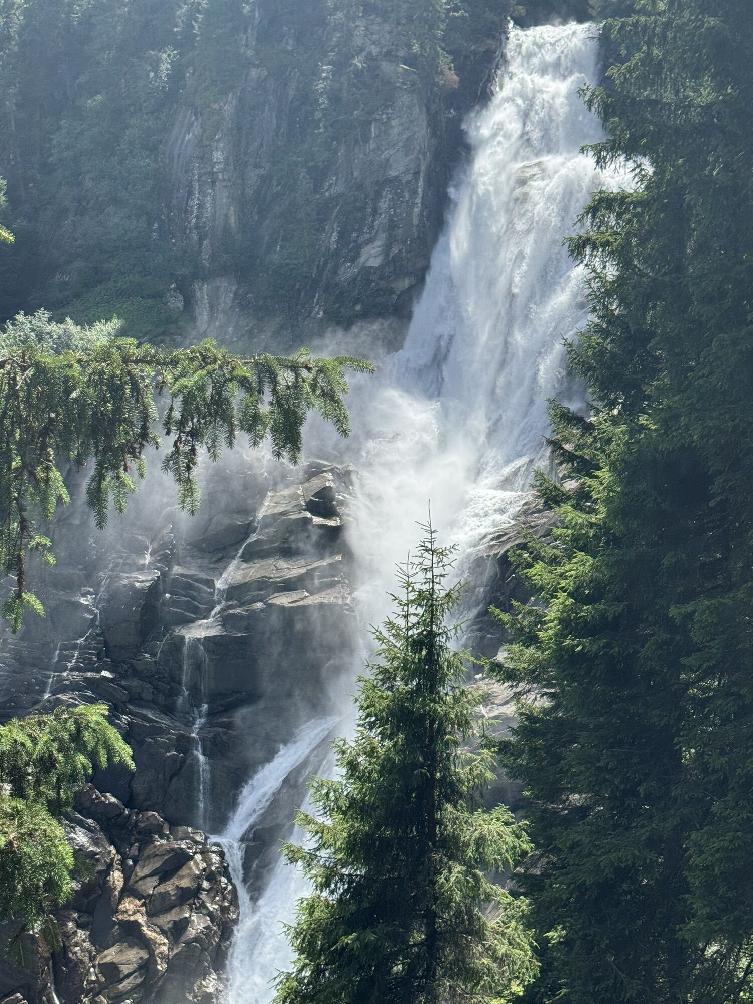
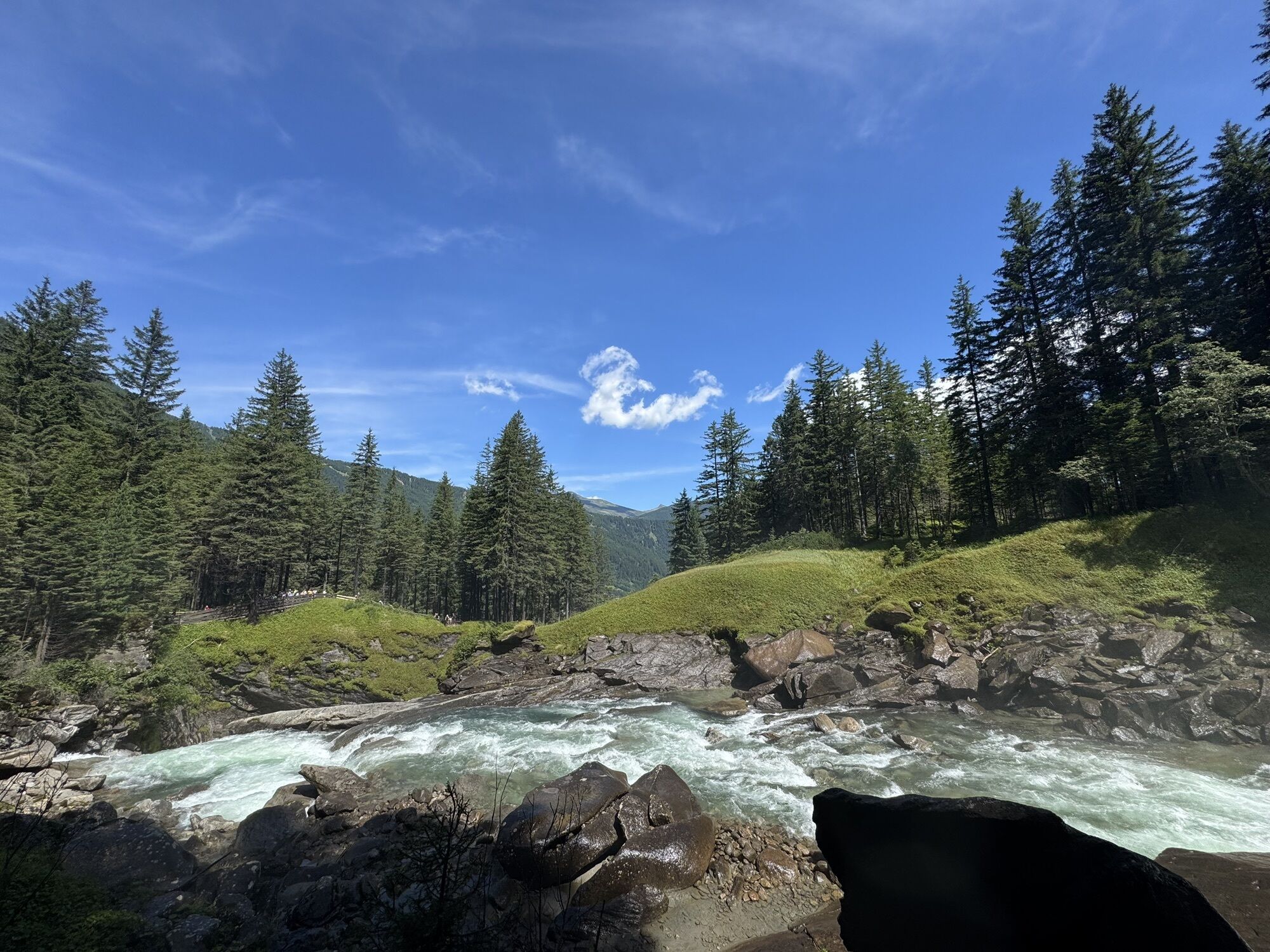
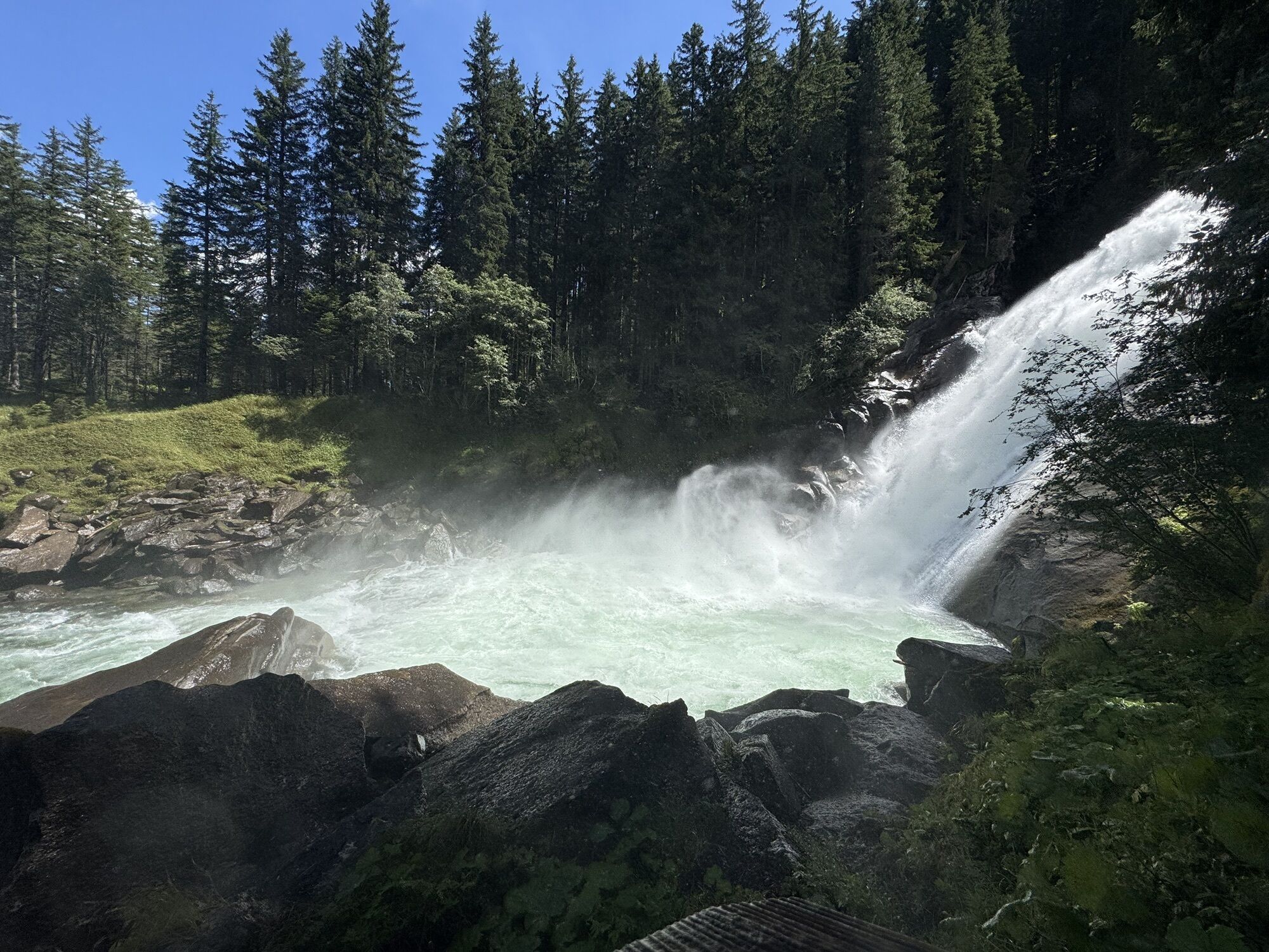
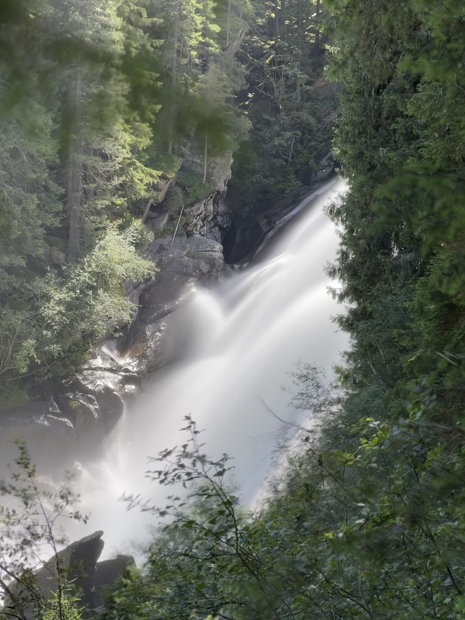
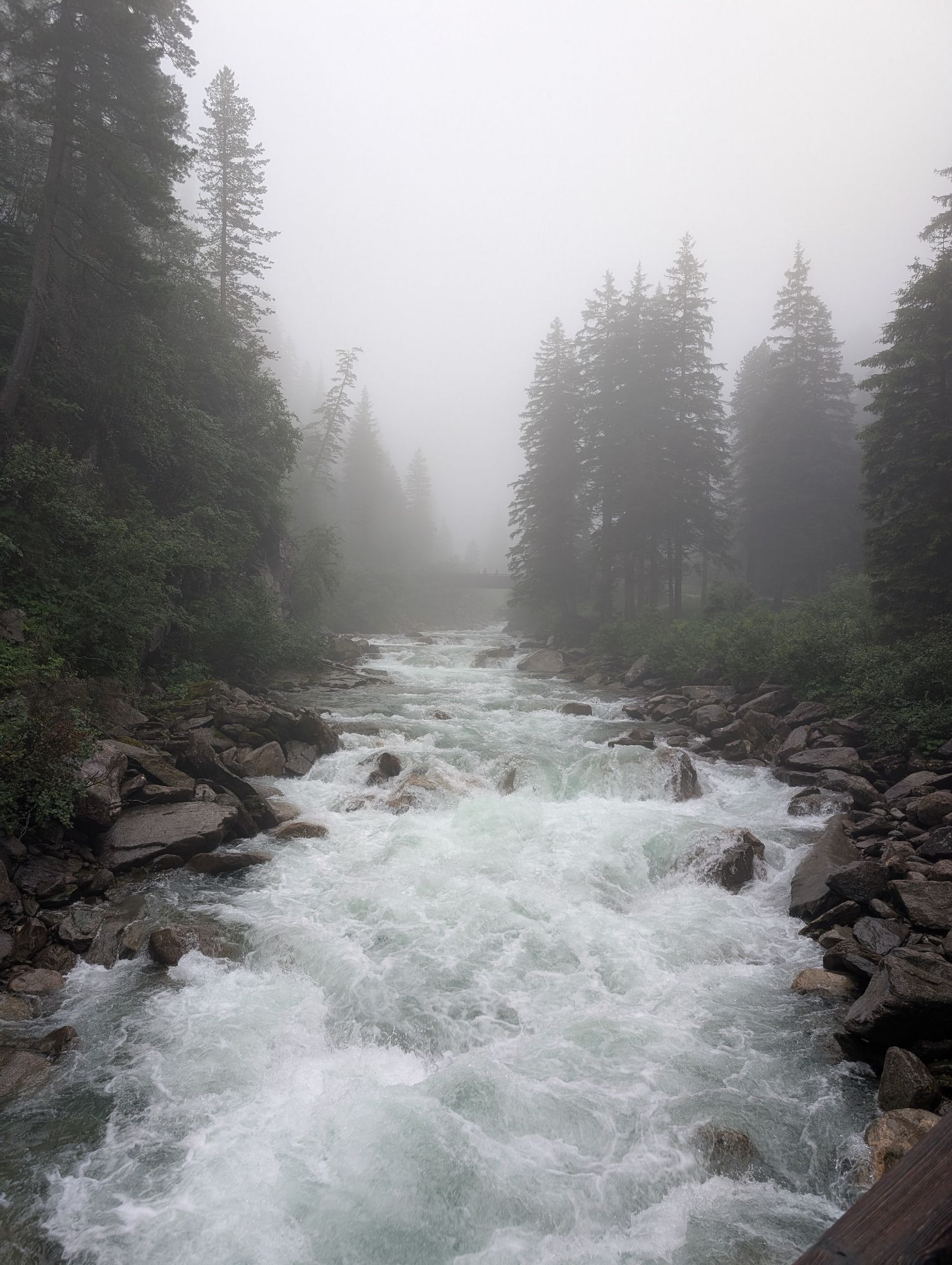
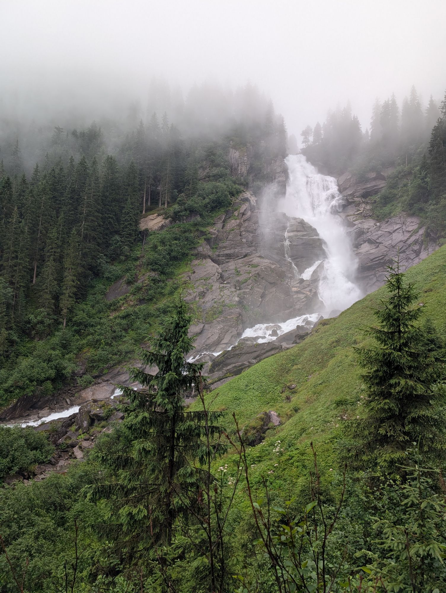
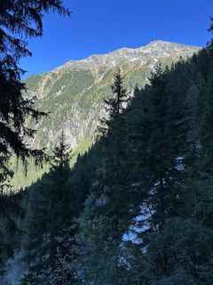
With a gentle start – but with one of the greatest natural spectacles in the Salzburg region – the "Hohe Tauern Panorama Trail" begins in Krimml. The trail leads over the "Old Tauern Road" and the famous...
TIP: Enjoy an unforgettable hiking experience on the Hohe Tauern Panorama Trail! The official Hohe Tauern Panorama Trail info and booking center with the award-winning team of Trail Angels will gladly support you. Experience a combination of personal freedom and the longing for the special, paired with service, comfort, and safety. Top offer: The small escape package: 2 nights, 2 stages including luggage service, shuttle and return transfer, and much more from €218,-


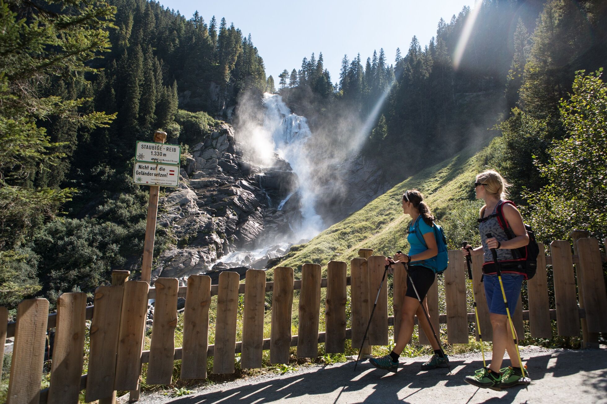
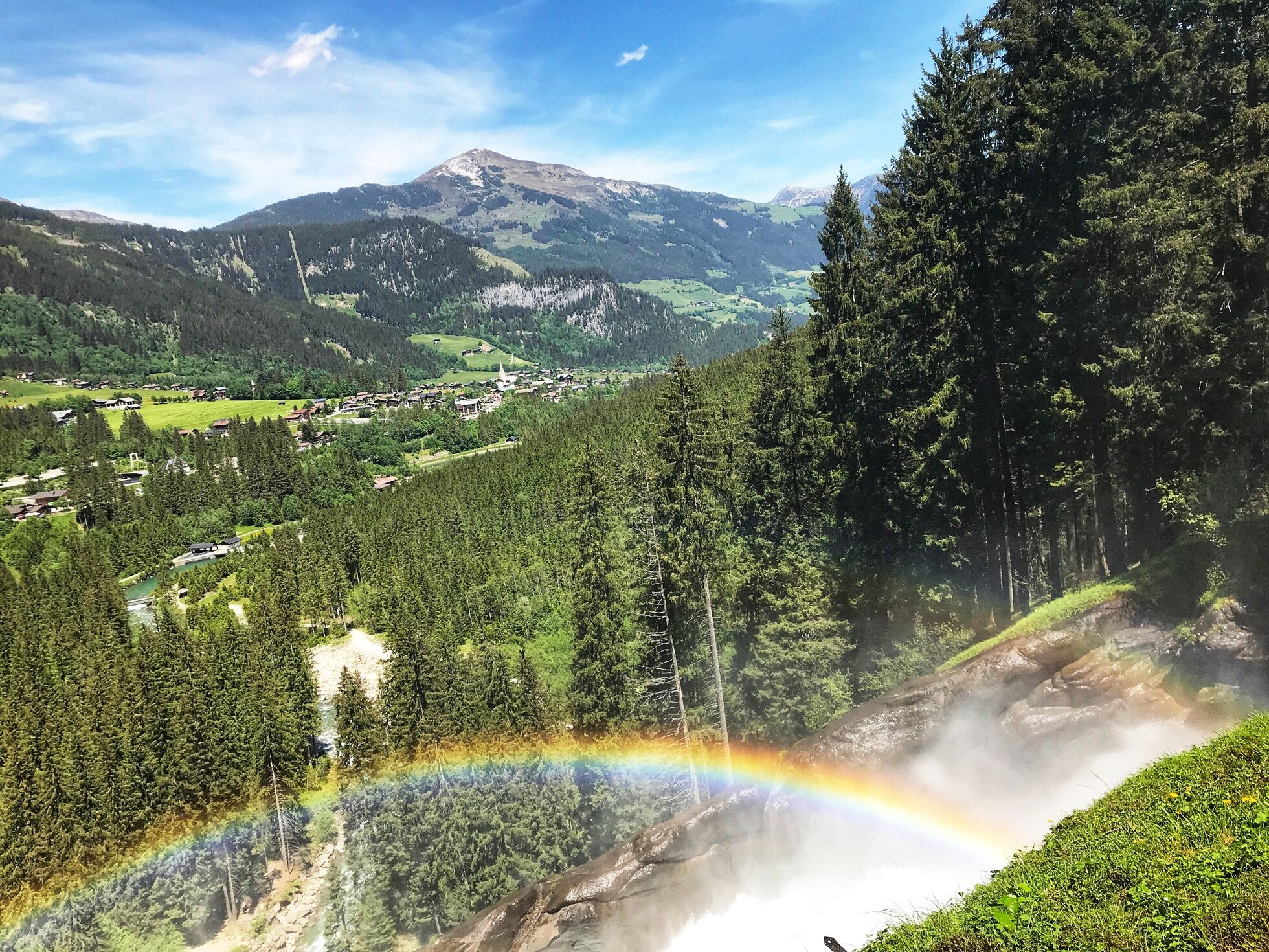
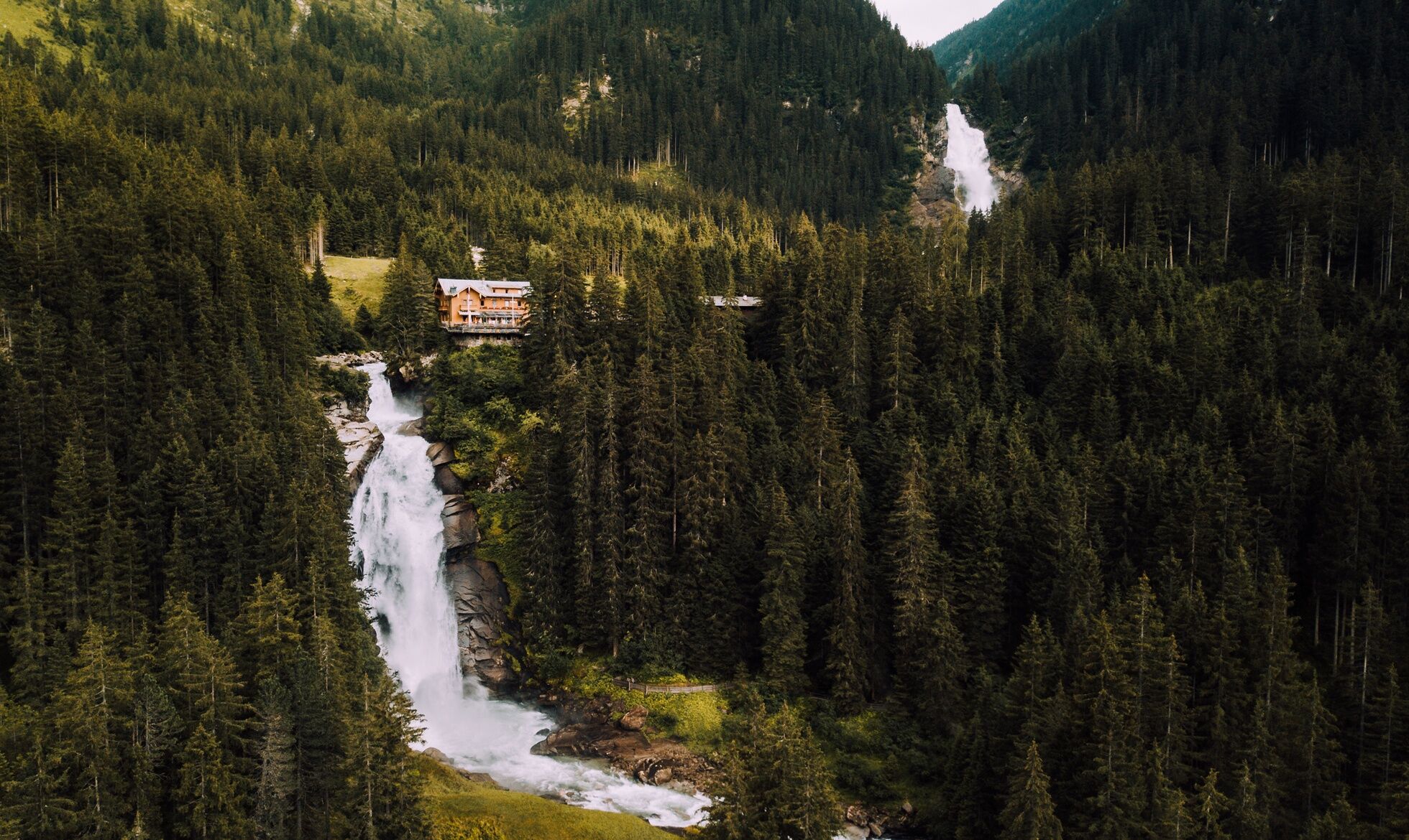

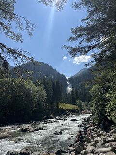
The starting point of the first stage is the tourism information office in Krimml. Here you hike up the street to the left of the church to the next larger street, which is also known as the promenade in Krimml. Then you go left through the village, past a gas station to the Hotel Klockerhaus, and reach the Gerlos Pass road. A little to the right and behind parking lot 2 go left over the zebra crossing to a sidewalk. Do not go straight towards the "Krimml Waterfalls," but diagonally down to the left, following the Tauern cycle path. At the next two junctions do not go down left, but always straight – after this, you will finally be on a gravel promenade. Follow this to a gravel road – briefly right here and then left by a house across the Krimmler Ache via a wooden bridge. Now you are on the "Old Tauern Road," an ancient trade route that was already used by the Romans.
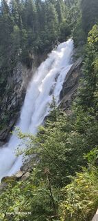
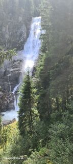
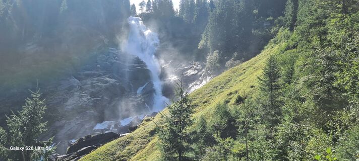
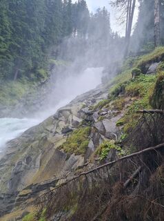
Hike first to the right and then immediately at the waterfalls to the left, up the beautiful old trade route along the waterfalls to a forest road. Then take the forest road 50 m to the right and then immediately left again the continuation of the hiking trail up to another carriage road. From here, just a few minutes to the right to your highest point (1,482 m) at the waterfalls.
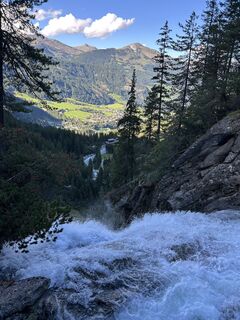
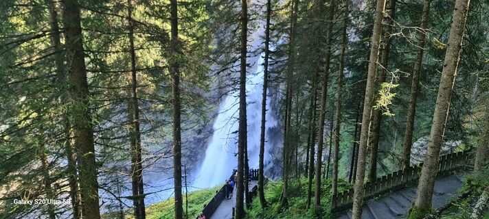
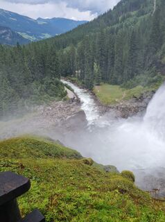
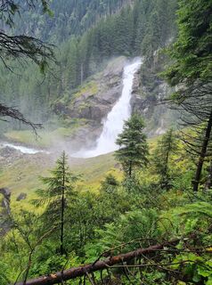
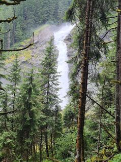
Now turn sharply right, cross the Krimmler Ache, and you are on the famous waterfall path, which on the descent on the other side of the Krimml Waterfalls offers you fantastic views of the raging water. You hike down this path, with great viewing platforms on the waterfall – straight at a crossing, at the next fork turn right following the "Waterfall Path" and past a building to the left – until you reach the foot of the Krimml Waterfalls at Café Hanke's. Continue straight ahead to the ticket office (the waterfall path is subject to a fee, but free admission with the National Park SummerCard – available from the first overnight stay at participating accommodations) and up the small asphalt road. Use the underpass to go under the Gerlos Pass road – now you stand in front of the "Water Worlds" building. This visitor center about water and the Krimml Waterfalls is definitely worth a visit (tip: Free admission with the National Park SummerCard – available from the first overnight stay at participating accommodations).
For the onward route, keep about 50 m to the right on the Gerlos Pass road to parking lot 4. Here the Panorama Path Krimml begins with a large archway, which you now follow for some time. Always follow the signposted "Panorama Path," turn right at a fork, over a bridge to the houses. Here turn left through a beautiful avenue to the birthplace of Anton Wallner, a famous freedom fighter. Now turn left behind the house into a small asphalt road towards Burgeck. After a small right-left bend, follow a very beautiful meadow path with a great view of Krimml and the Krimml Waterfalls to the Burgeck guesthouse. Directly past the guesthouse you reach a hiking trail with Ww. "Schönmoosalm/Breitscharte."
Now follow the path and thus leave the Krimml local area. At a fork shortly after, choose the right path towards "Gh. Filzstein," your stage destination. Hike over a bridge and then up the left forest path towards "Filzstein." Through a beautiful forest, you now climb many switchbacks uphill, go under the Gerlos Pass road and soon reach the Alpine guesthouse Filzstein (1,641 m) in Hochkrimml via the hiking trail (at the very end via a small asphalt road).
Alpine hiking equipment is required for the Hohe Tauern Panorama Trail:
Day hiking backpack (approx. 20 liters) with rain cover Sturdy and comfortable footwear Weather-appropriate and durable clothing in layers. The Hohe Tauern Panorama Trail is mostly at altitudes between 1,300 m and 2,450 m – this must be taken into account when choosing hiking gear (especially your clothing). Trekking poles are highly recommended because of the often long descents Sun and rain protection, Make sure to have enough provisions and sufficiently large drinking bottles, as not all stages have places to stop or fountains (e.g. stages 05 and 07) First aid kit Pocket knife Mobile phone Route description or hiking mapâ ï¸ Note pour l'étape 1
La randonnée jusqu’aux cascades est possible uniquement par le sentier d'observation. Veuillez suivre la signalisation appropriée sur place.
Section Panorama Hotel Burgeck – Alpengasthof Filzstein : tout au long de l'été, des travaux de construction sont en cours par le service d'aménagement des torrents et avalanches. Veuillez respecter tous les panneaux d'information et ne vous déplacer que sur les chemins indiqués.
Merci pour votre compréhension et bonne randonnée en toute sécurité !
From the east: A10 Tauern motorway to Werfen, B 311 to Schwarzach, Zell am See, then on B 168 to Mittersill and further via B 165 to Krimml
From Zell am See take the regional bus 670 (direction Krimml via Uttendorf – Mittersill – Neukirchen) to the stop Krimml Ortsmitte. From there about a 5-minute walk to the start of the stage at the Krimml tourism office (Oberkrimml 37, 5743 Krimml)
From the Zillertal take the regional bus 4094 to the stop Almdorf Königsleiten junction Gerlospass and then continue with the regional bus 673 (direction Wald Ortsmitte) to the stop Krimml Ortsmitte. From there about a 5-minute walk to the start of the stage at the Krimml tourism office (Oberkrimml 37, 5743 Krimml)
Current timetables >>Free parking is available at the respective starting points of the trail journey, e.g. near pub Treffpunkt in Krimml. The free parking ticket can be collected at the TVB Krimml during opening hours. The parking spaces are free and not monitored. No liability is assumed.
Gerlosstraße 18
5730 Mittersill, Austria
Tel. +43 6562 40939
E-mail: hohetauerntrail@nationalpark.at
Trail Angels GmbH
9821 Obervellach 15, Austria
Tel. +43 4782 93093
E-mail: info@bookyourtrail.com
Získajte prehľad
Vždy naživo na mieste s viac ako 9 500 webovými kamerami. bergfex Ako používateľ Pro si teraz môžete pozrieť príslušné webové kamery pre mnohé zájazdy v aplikácii zájazdy z. Môžete si tak priamo prezerať aktuálne podmienky.
Obľúbené výlety v okolí
-
4,3
Gerlos: Stausee Rundwanderung
strednáTuristika 12,5 km -
4,7
Zittauer Hut
strednáTuristika 6,85 km -
3,7
Smaragdwanderweg Habachtal/Bramberg
svetloTuristika 7,17 km -
4,3
Krimml Waterfall Path - Panorama Viewing Path
strednáTuristika 4,74 km -
4,3
Krimmler Tauernhaus
strednáTuristika 10,4 km -
4,7
Krimmlerwasserfälle
strednáTuristika 10,5 km -
4,5
Kröndlhorn (2.444m)
ťažkéTuristika 13,5 km -
4,8
Krimmler Achental
strednáElektronický bicykel 18,4 km -
4,7
Frühmesser
strednáTuristika 10,6 km -
4,2
Untere Wasserälle Krimml Krimml, Österreich
svetloTuristika 5,04 km

Turistika a stopovanie


Nenechajte si ujsť ponuky a inšpiráciu na ďalšiu dovolenku
Vaša e-mailová adresa bol pridaný do poštového zoznamu.





