







From the village center Faistenau to the Lidaun

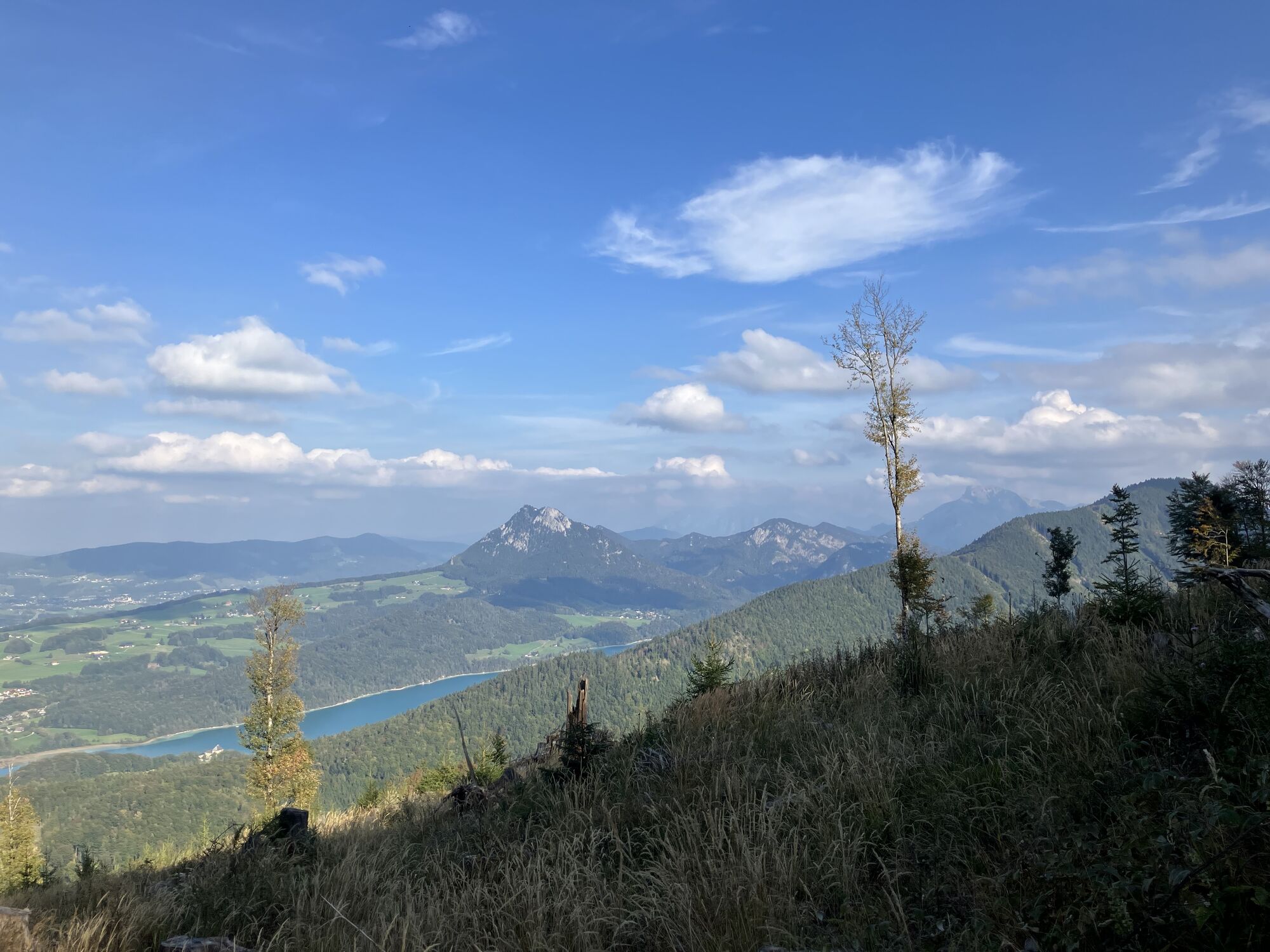
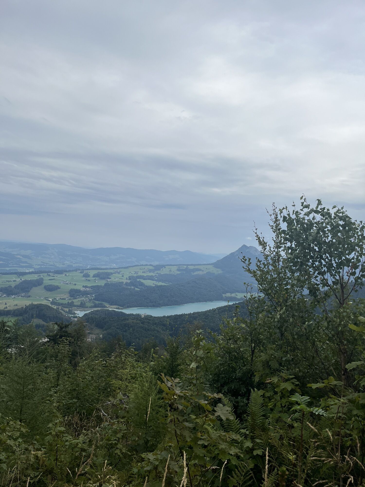
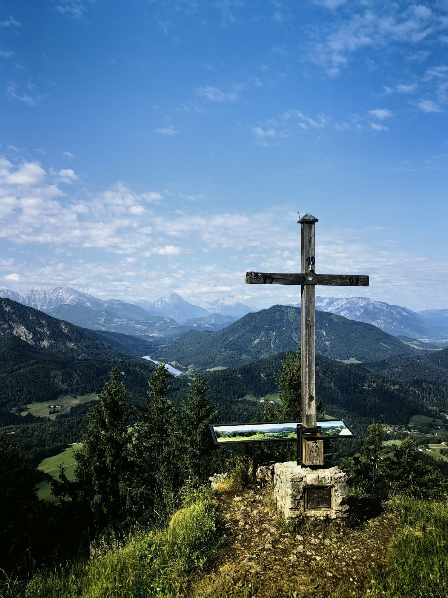
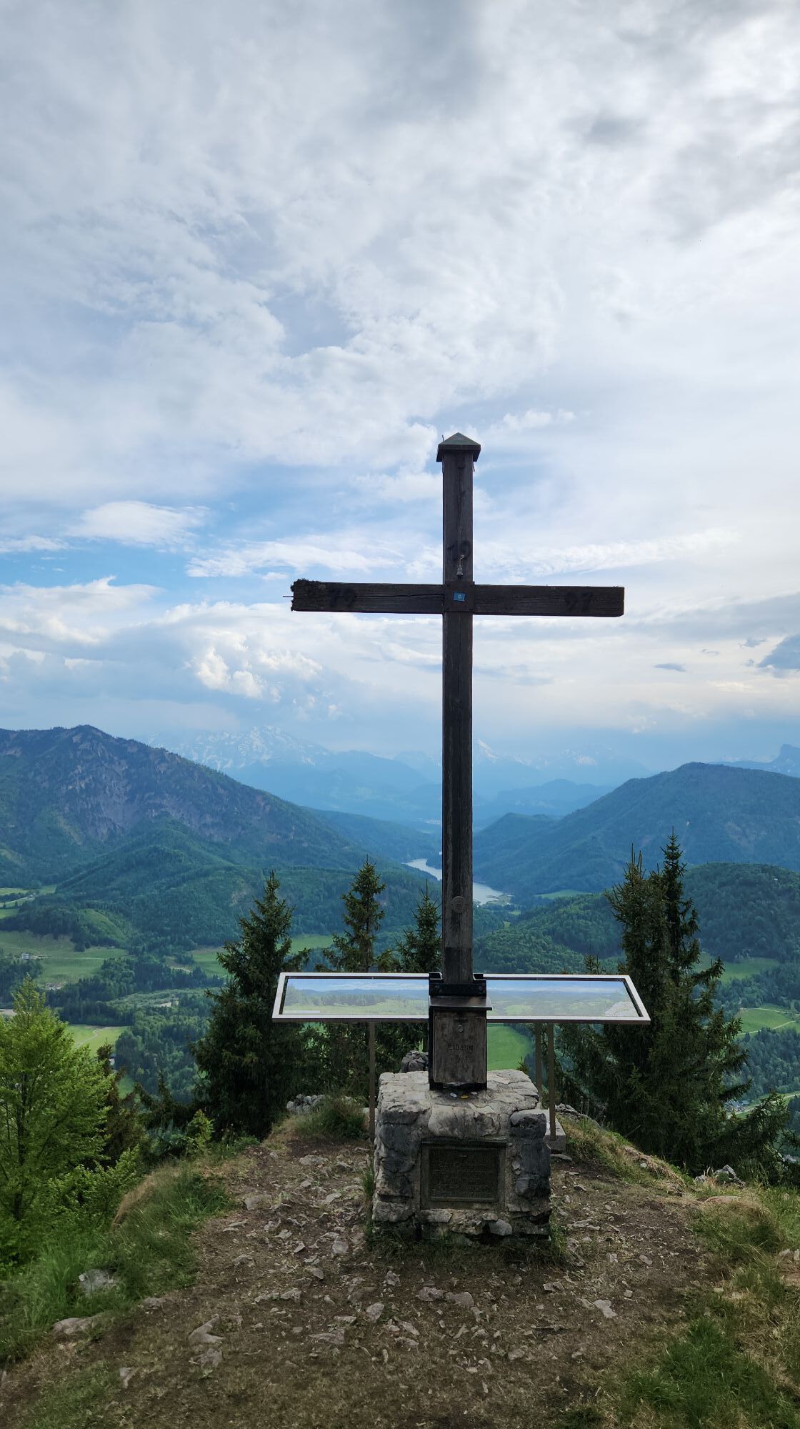
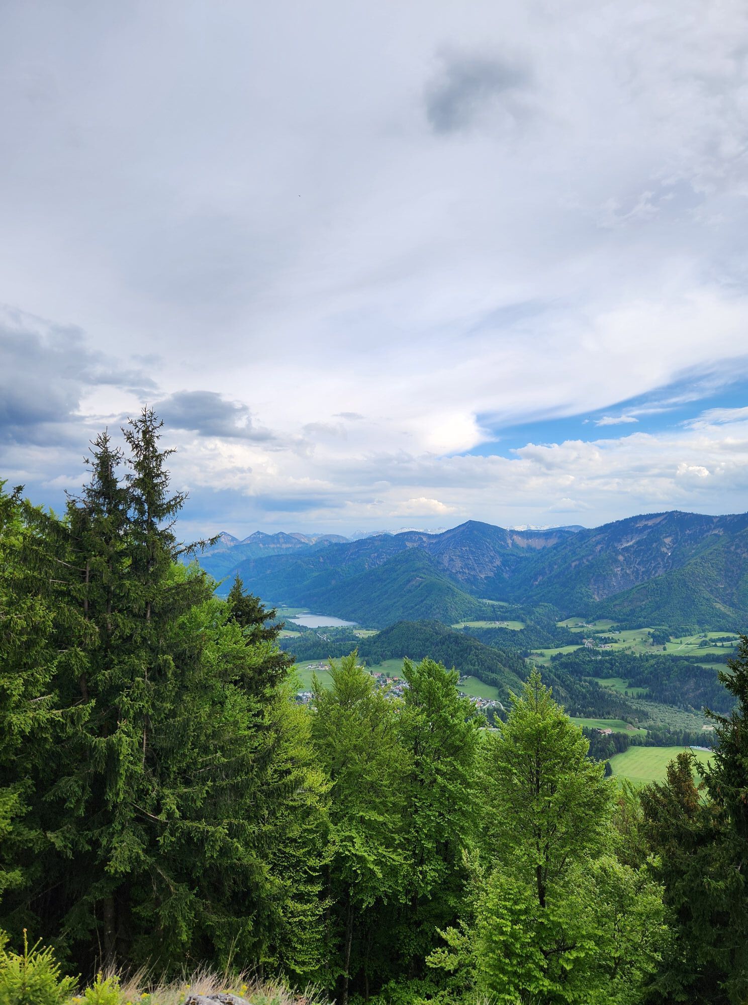
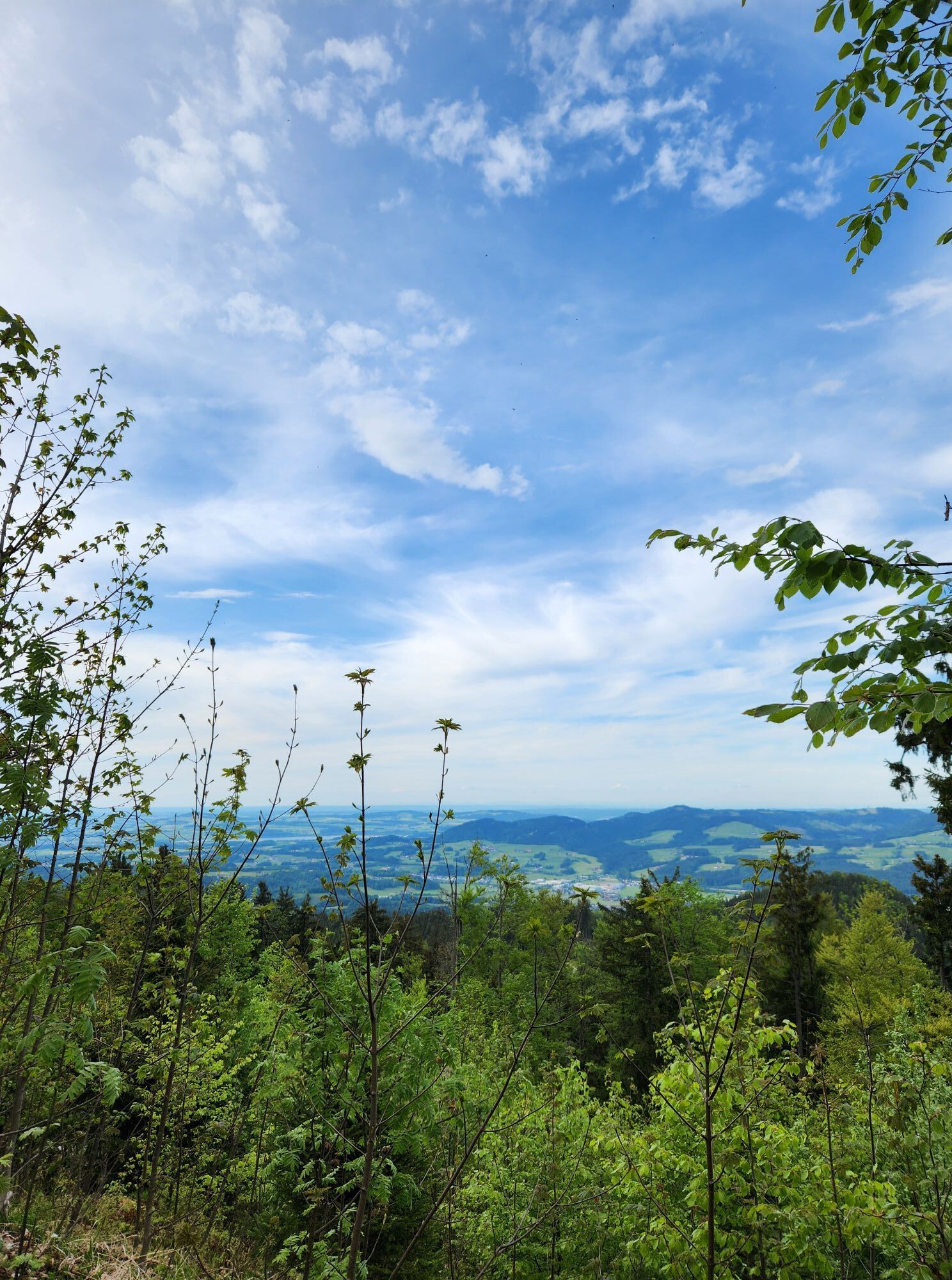
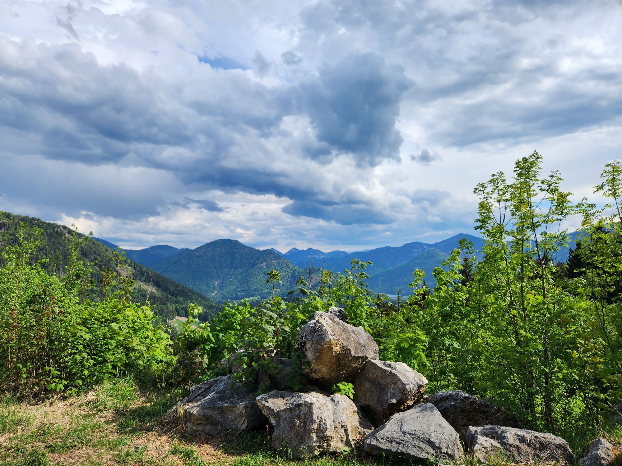
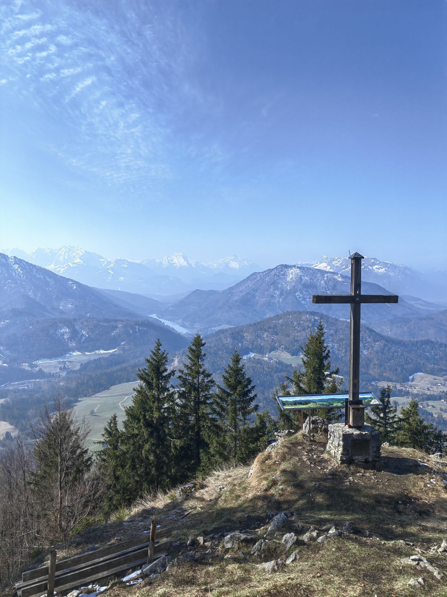
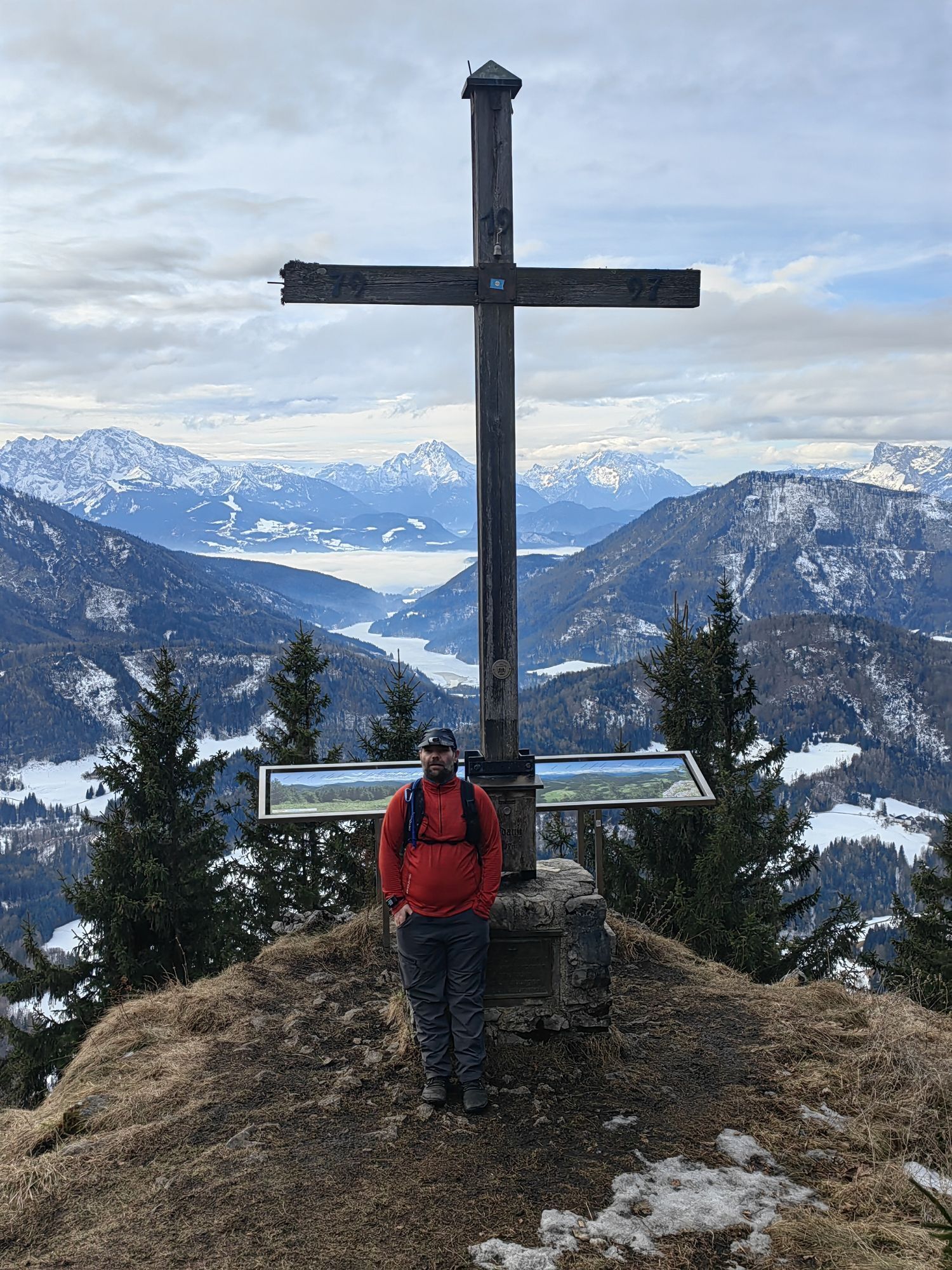
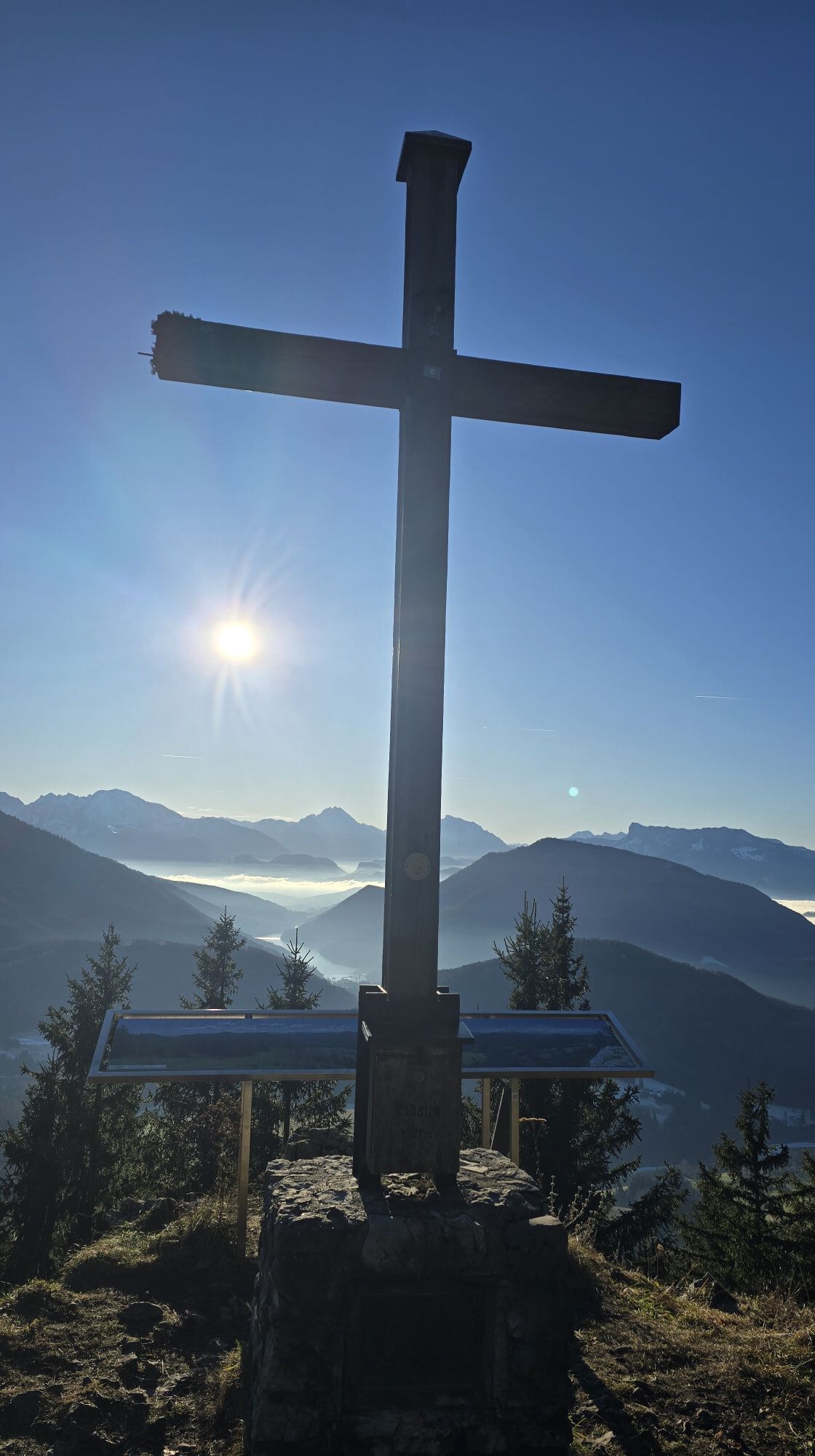
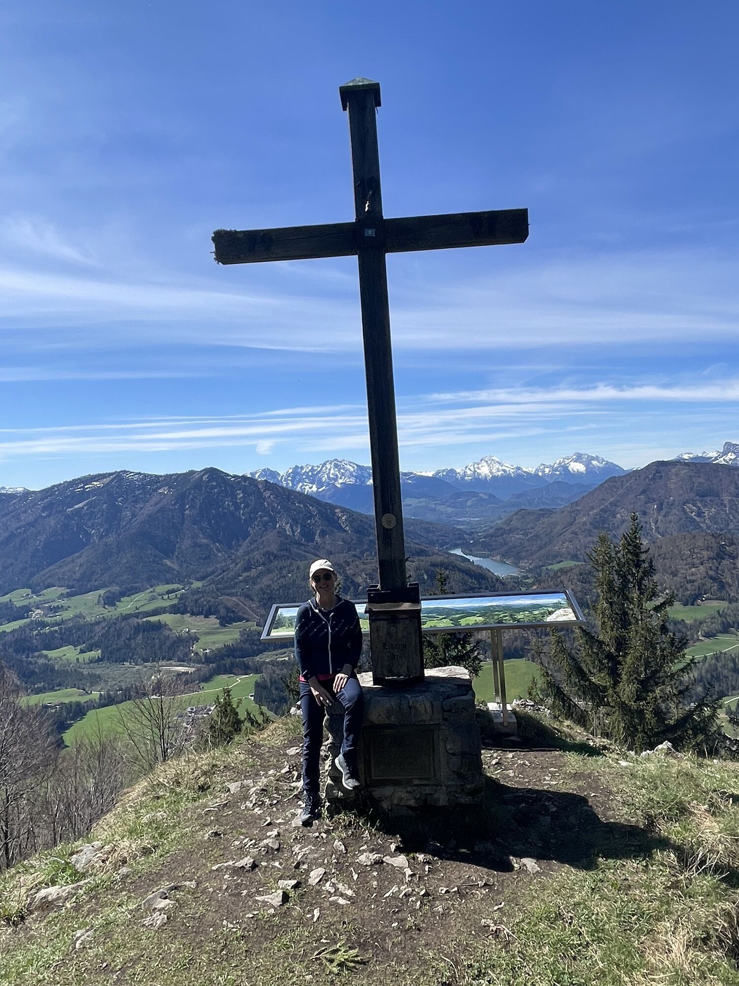
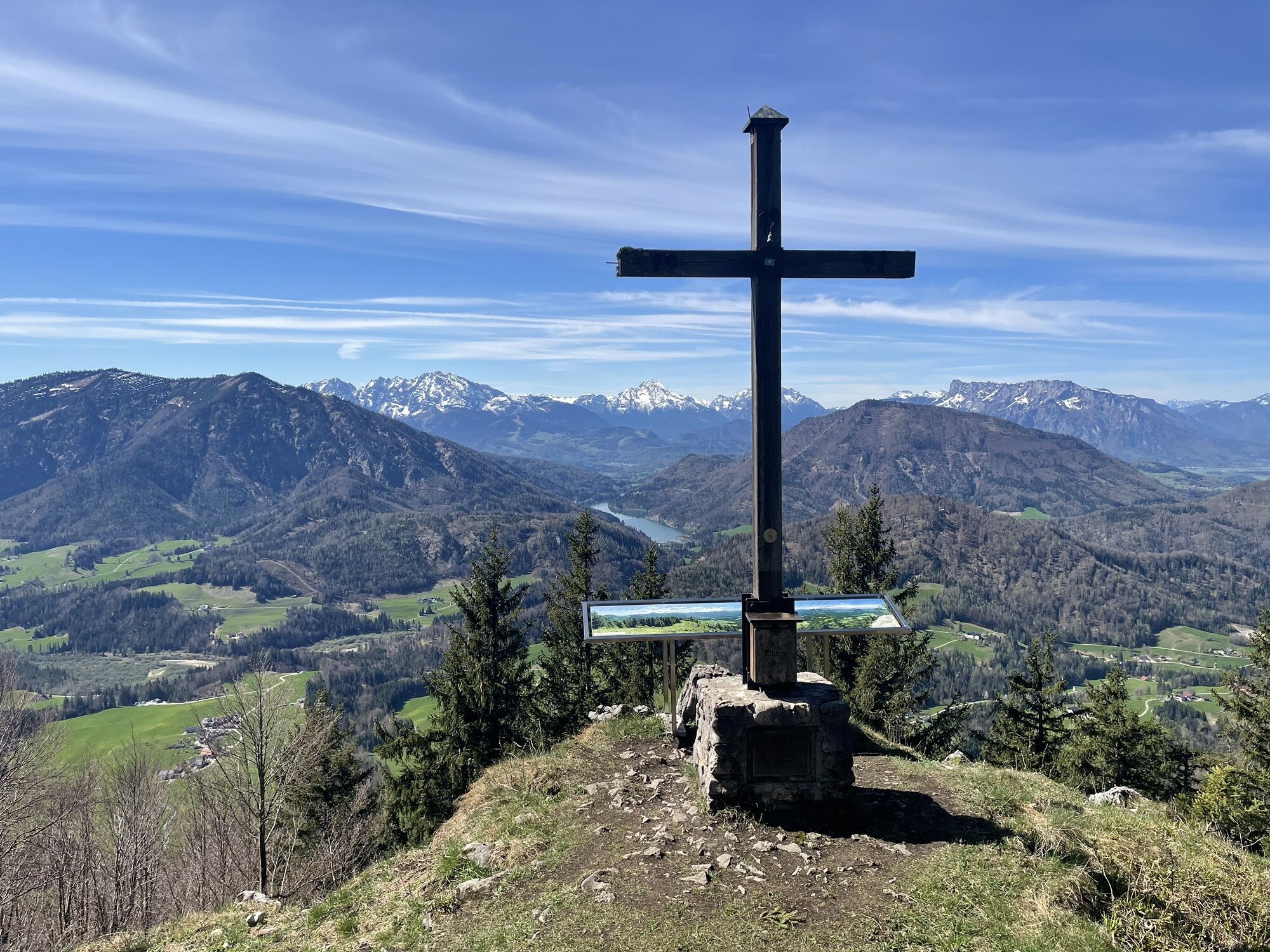
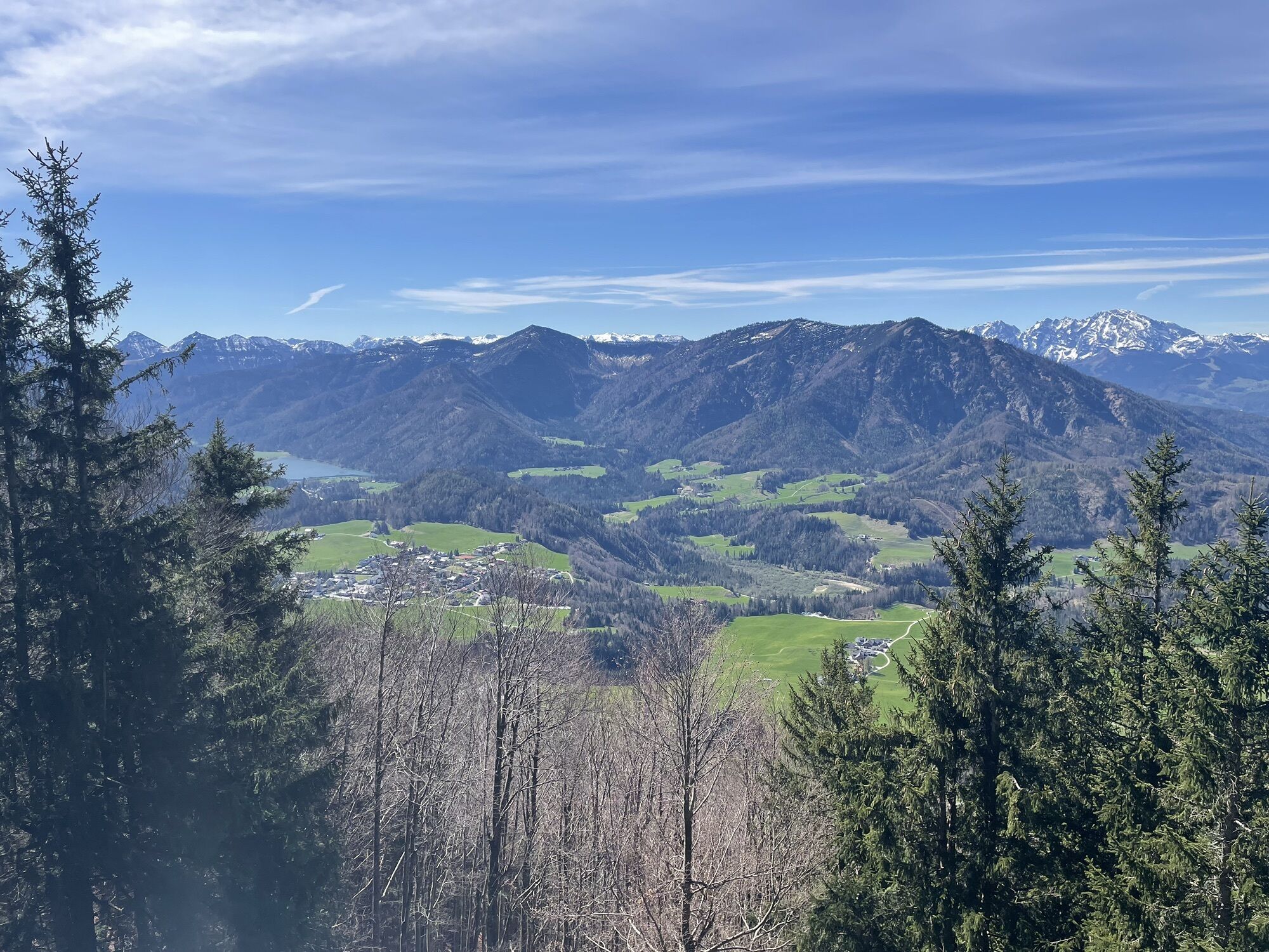
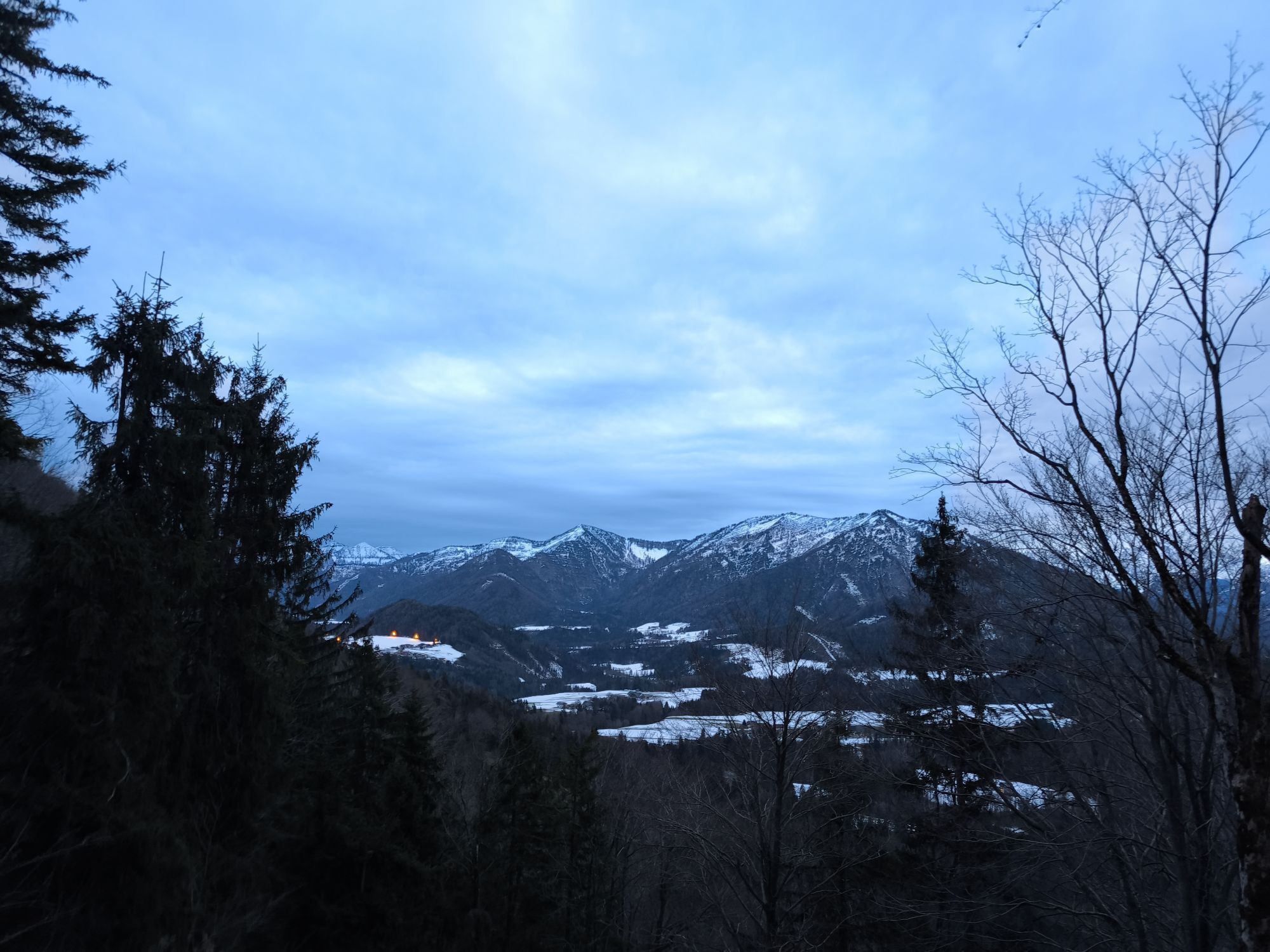
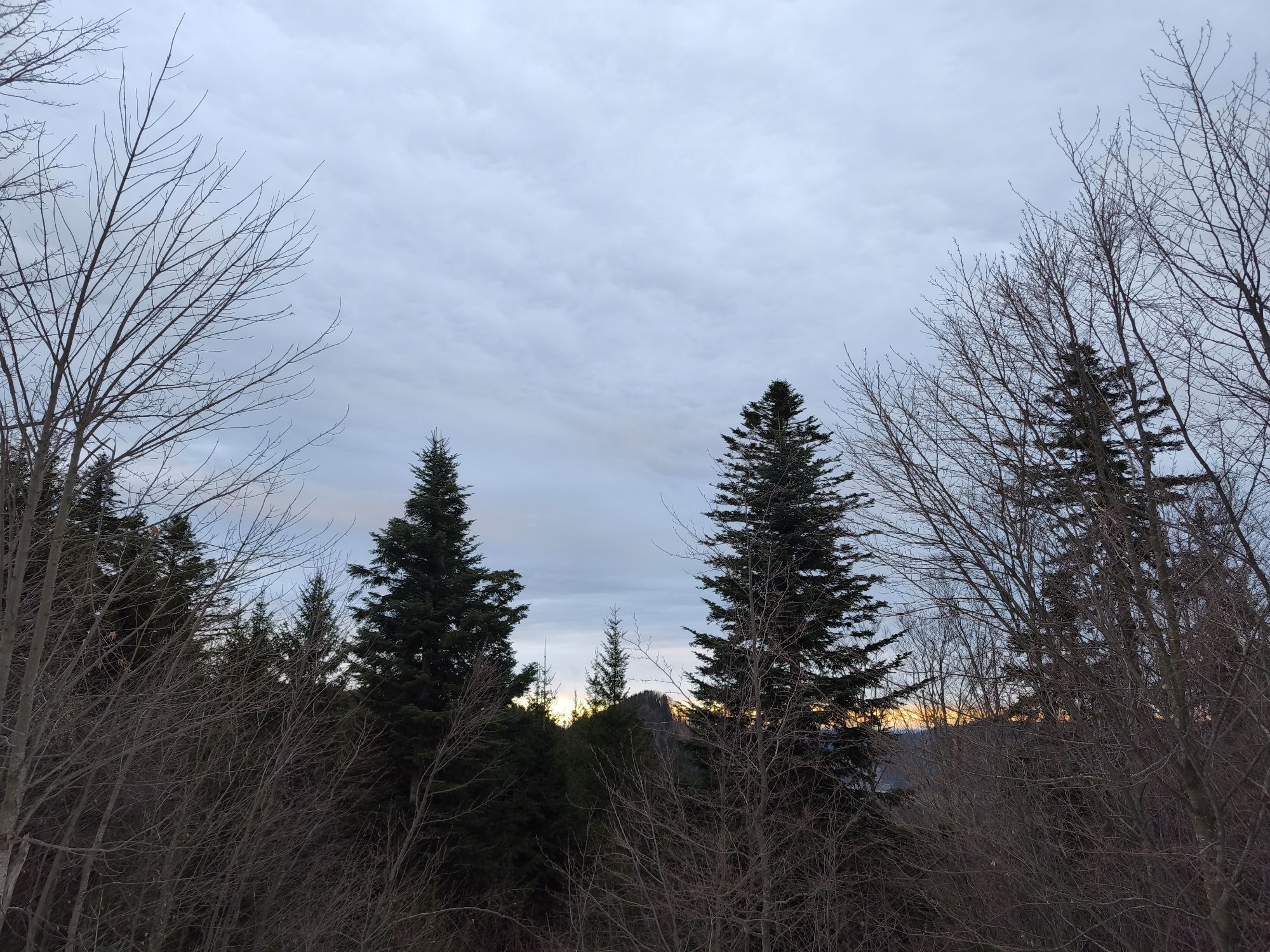
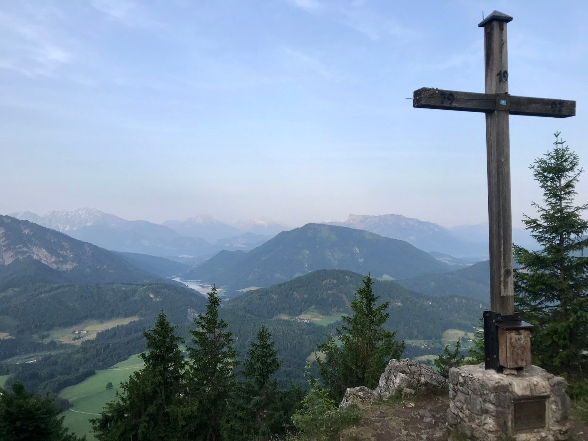
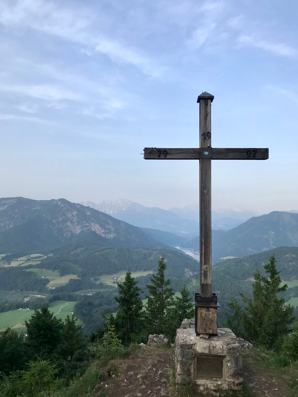

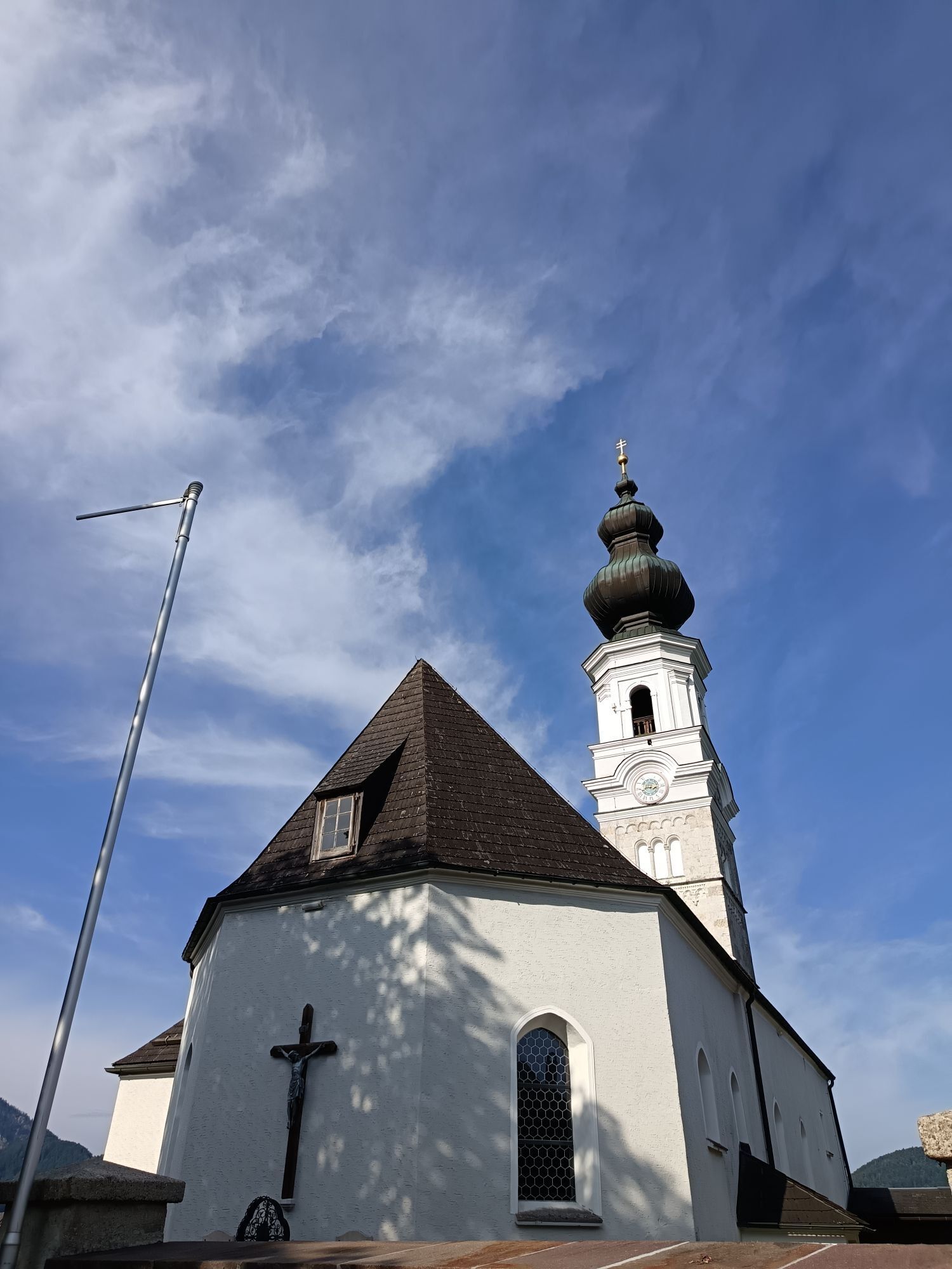
The Lidaun is considered the local mountain of the Faistenau residents and offers a dreamy view from the summit! Numerous hiking paths and routes all ultimately lead to the shared goal – the Lidaun mountain....
The Lidaun is considered the local mountain of the Faistenau residents and offers a dreamy view from the summit! Numerous hiking paths and routes all ultimately lead to the shared goal – the Lidaun mountain. Whether in summer or winter with snowshoes or touring skis, the Lidaun never lacks its charms in any season.
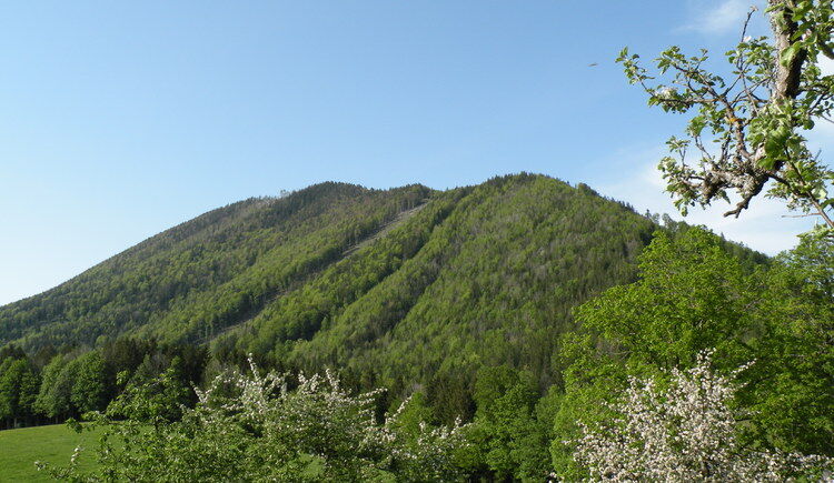

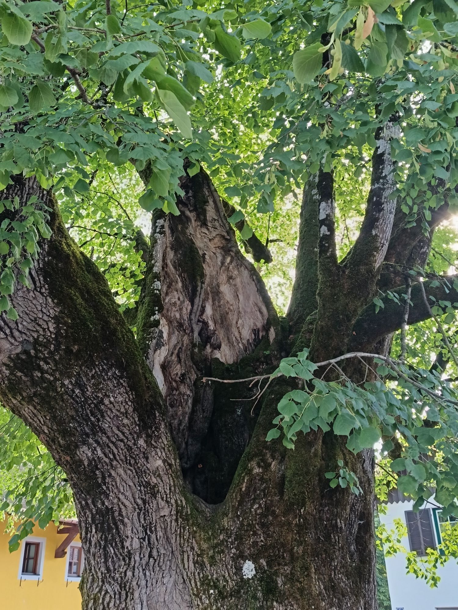
We start the summer route on the Lidaun at the village square of Faistenau. We first follow a small hiking path behind the municipal office, descend to the Schmiedbach, cross it on the bridge, and then go back up to Lidaunstraße on the other side. At the road junction, we find the Kreuzfichte, where many memorial plaques have been placed in memory of the deceased who were carried to the church. This special place is also one of many power spots in the Fuschlseeregion. After 300 m on the road, we turn sharply right onto the farm road. We follow this path for 2.2 km before passing a hunting cabin. After another 2 km, a trail leads left towards the summit. After about 600 m, we reach it with its magnificent view over the Wiestal and the Berchtesgaden Alps. During the descent, we follow the signposted path No. 44.
Áno
Áno
Sturdy footwear; no other special equipment required.
Information from the Faistenau Riding and Horse Breeding Association
Part of the path is also used by riders. A major concern of the Faistenau Riding Association is a harmonious coexistence between riders and hikers. Especially important for this is mutual respectful behavior. Therefore, please abide by the leash requirement, keep a safe distance from the horses, and avoid loud noises as well as sudden/fast movements.
Leash requirement for dogs
Since 2009, there has been a leash and dog waste disposal ordinance in effect throughout the municipality of Faistenau. This also applies on all hiking trails.
Arrival via the A1 West motorway – Thalgau exit
Follow the federal road (B 158) in Hof bei Salzburg to the Baderluck roundabout. Take the first exit into Hinterseestraße and after a few kilometers, you will reach your holiday destination Faistenau.
There are sufficient parking spaces at the starting point.
By bus
From Salzburg main station, there are excellent postbus connections to the Fuschlseeregion and Faistenau. All bus connections can be found online at www.svv-info.at.
By train
Information about train connections can be found at www.oebb.at or www.bahn.de
By plane
Salzburg W.A. Mozart Airport is located very close to the city of Salzburg. Bus lines 2 or 27 take you to the main station, where you can transfer to the postbus.
Free parking at the village center opposite the new secondary school

Webové kamery z prehliadky



Obľúbené výlety v okolí
-
4,8
Fuschl: Ruine Wartenfels - Schober - Frauenkopf
strednáTuristika 7,62 km -
4,4
Fuschlseewanderung
svetloTuristika 11 km -
4,3
Pillstein Panorama Rundweg
svetloTuristika 3,40 km -
3,9
Bärenweg am Lidaun
svetloTuristika 9,05 km -
4,7
Pleasure hike over the Falkenstein
strednáTuristika 9,81 km -
4,7
The Plombergstein: Adventure and summit panorama
svetloTuristika 4,12 km -
4,2
Illinger Alm-Runde
strednáTuristika 9,89 km -
4,4
From Koppl to the Gaisberg summit
strednáTuristika 9,86 km -
4,8
Salzkammergut: Die Drachenwand
ťažkéVia ferrata 4,32 km -
4,3
Idyllic Hintersee Circuit
svetloTuristika 5,10 km
Turistika a stopovanie


Nenechajte si ujsť ponuky a inšpiráciu na ďalšiu dovolenku
Vaša e-mailová adresa bol pridaný do poštového zoznamu.





