







4 Mountains 3 Lakes - 3rd stage (Schafberg - Mondsee)
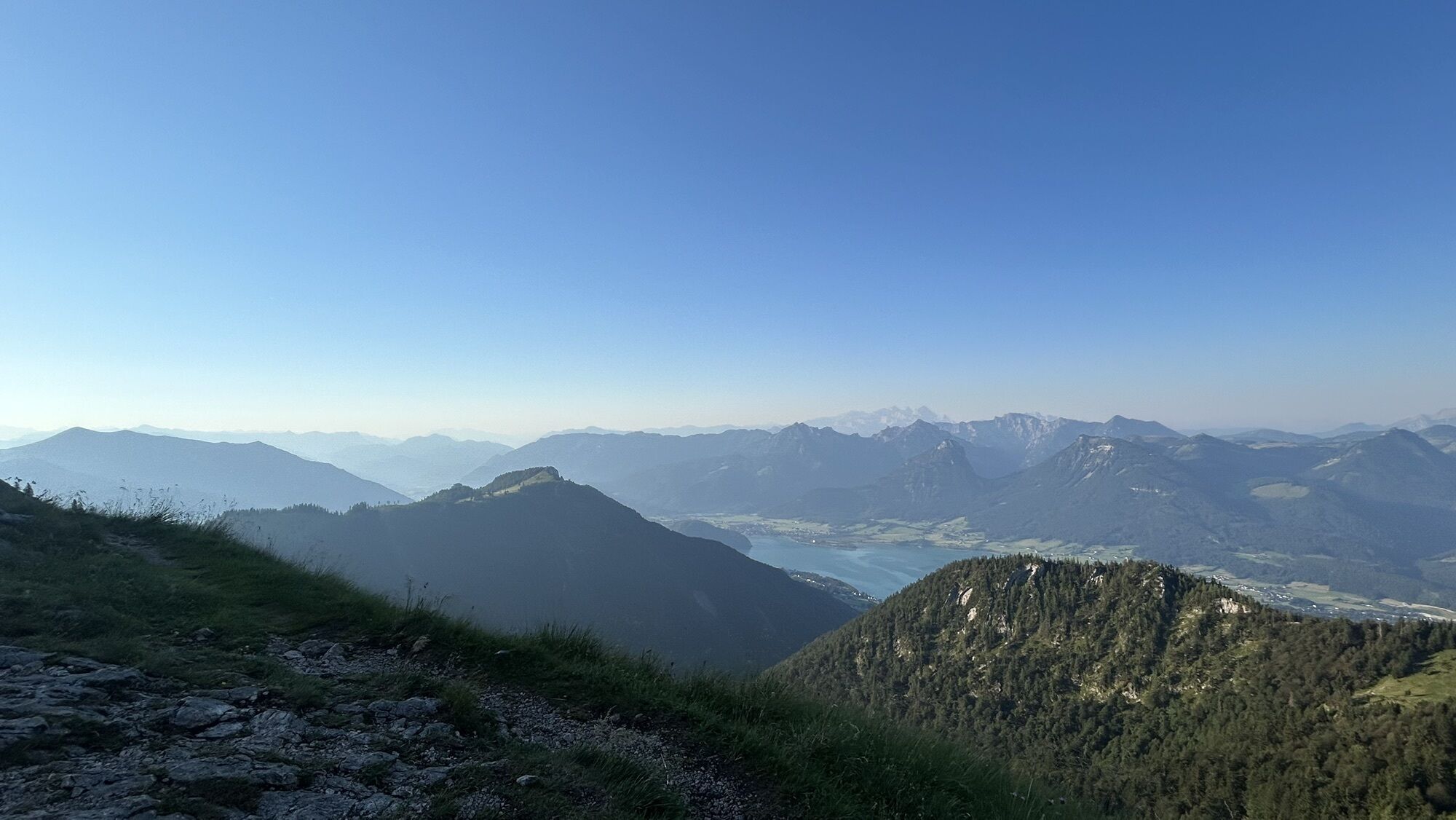
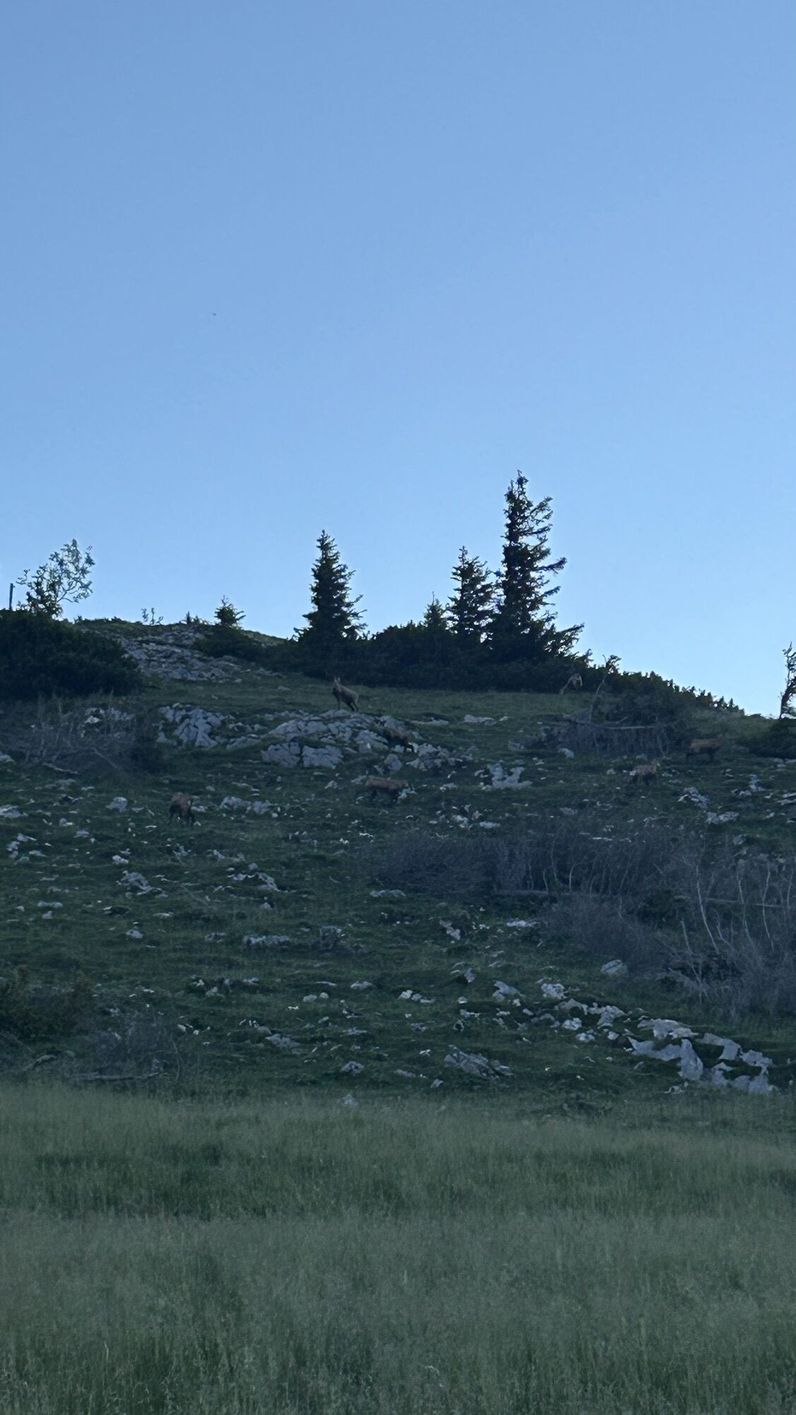
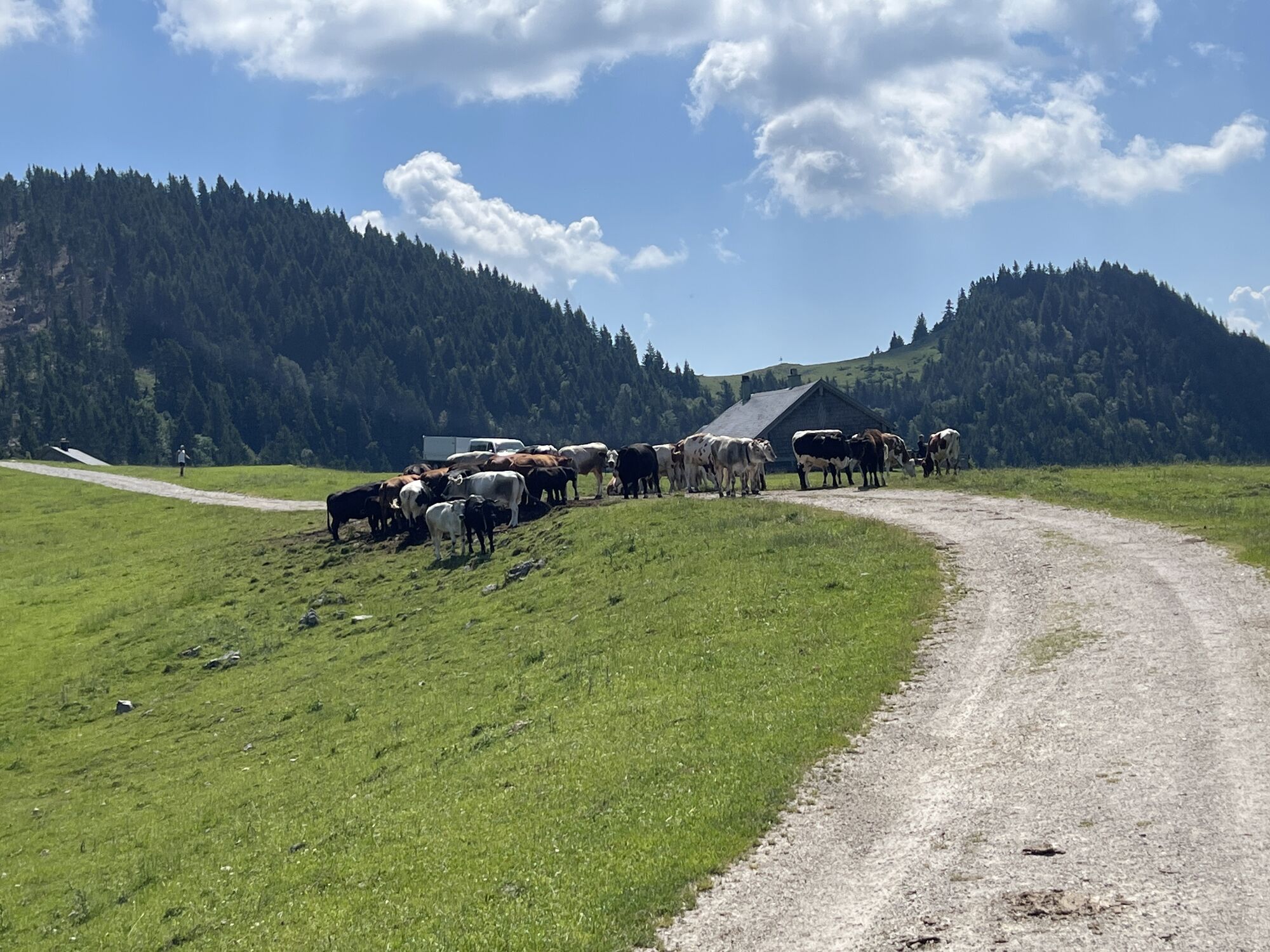
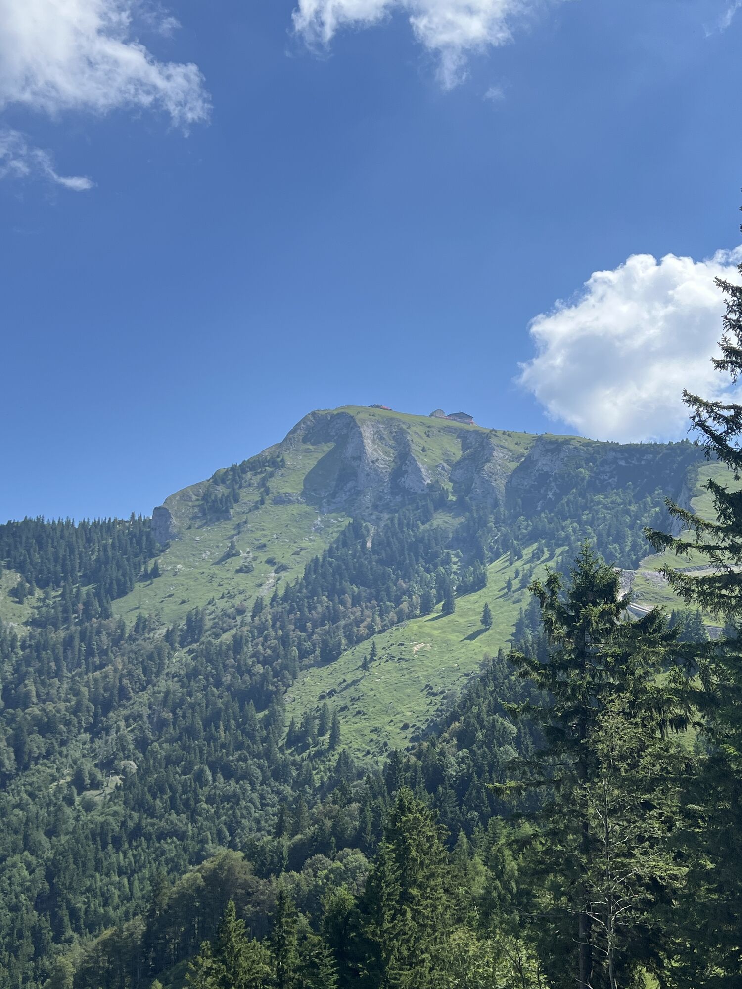
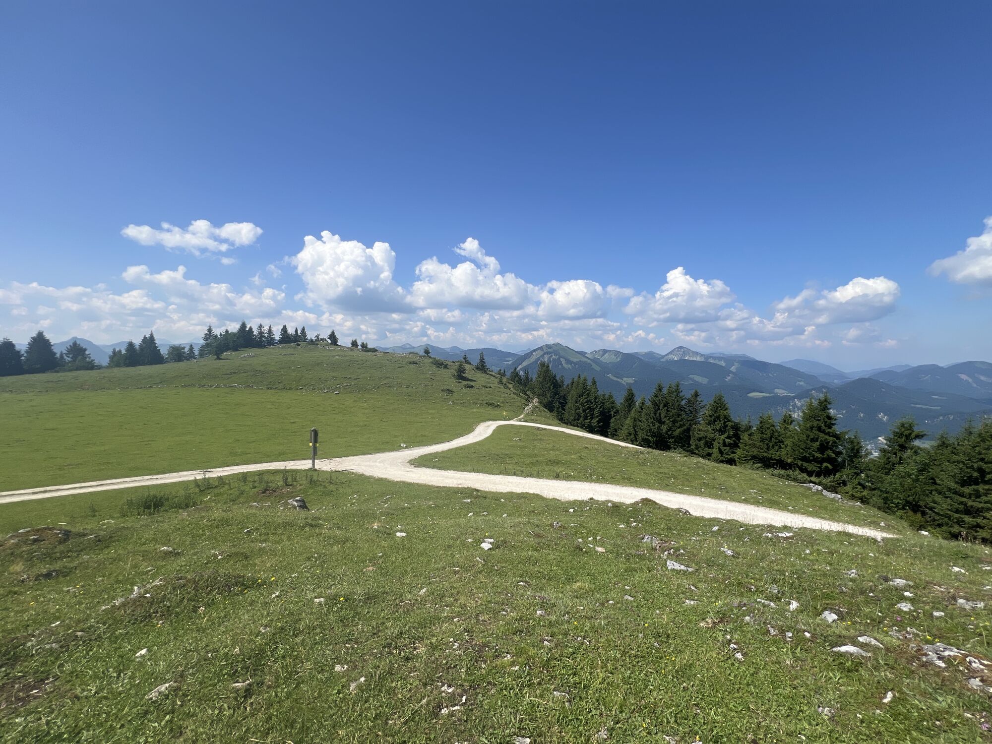
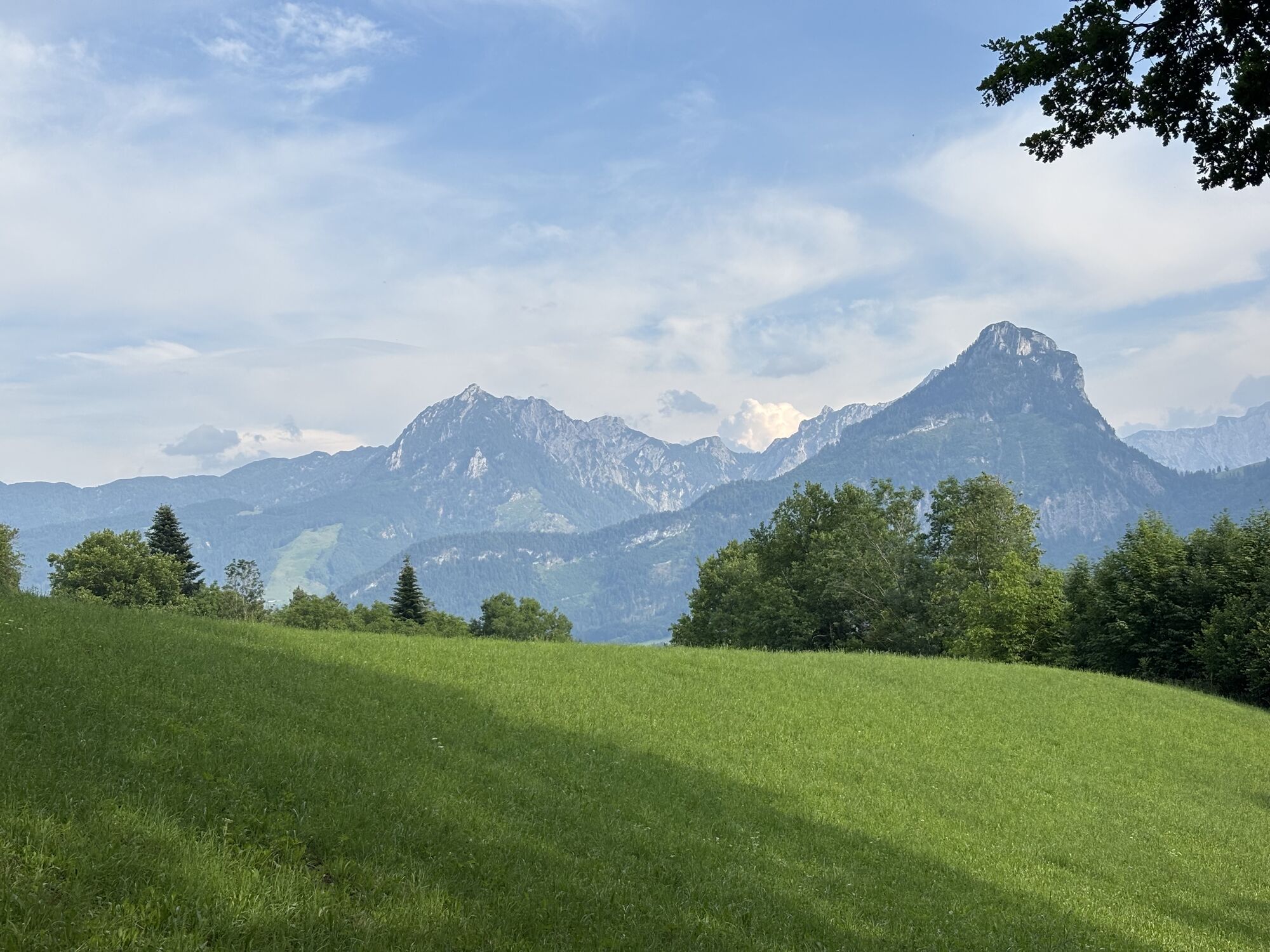
Over four days you hike through the most beautiful landscape in the Salzkammergut.
Each stage takes 5 – 7 hours and all without luggage.
The highlights of the route are the Wolfgangsee boat trip, the panoramic...
Over four days you hike through the most beautiful landscape in the Salzkammergut.
Each stage takes 5 – 7 hours and all without luggage.
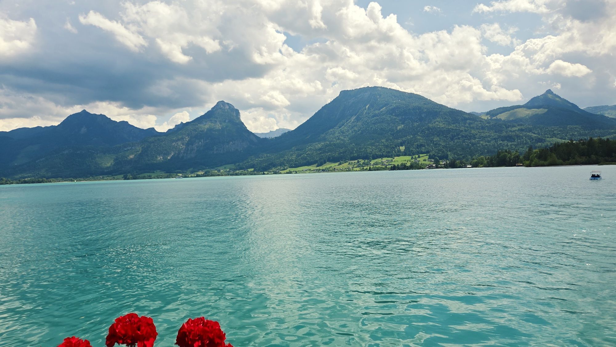
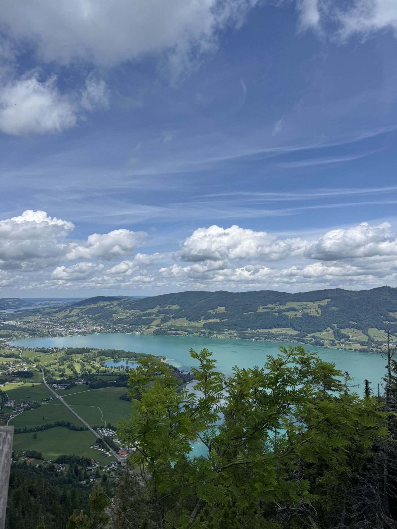
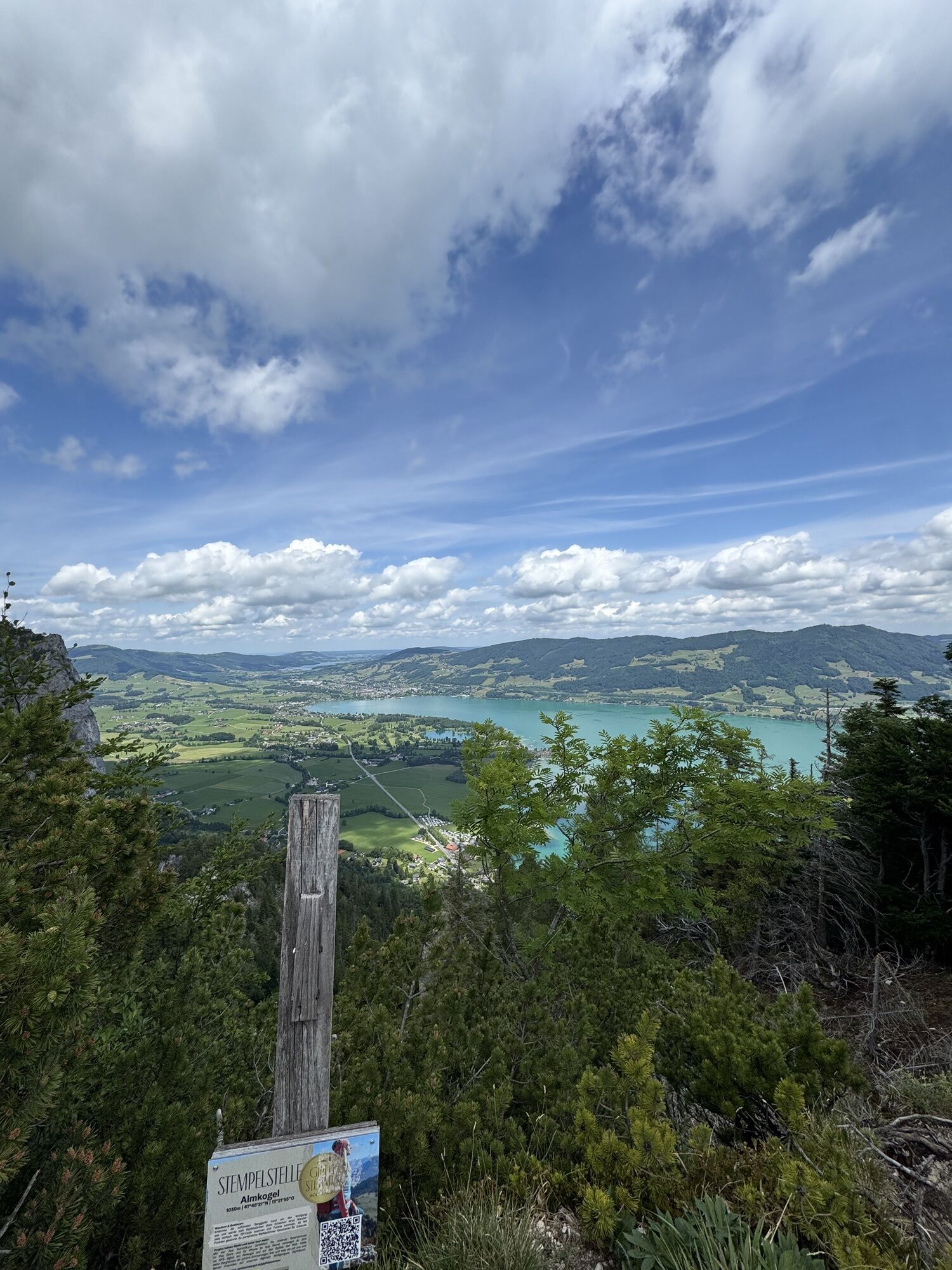
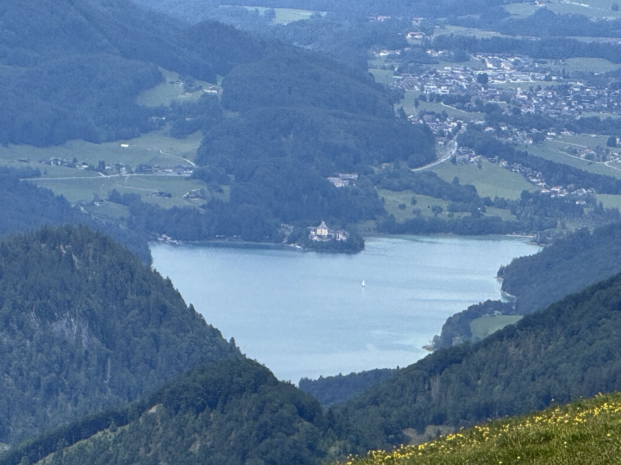
The highlights of the route are the Wolfgangsee boat trip, the panoramic view from the Almkogel and the basilica of Mondsee.
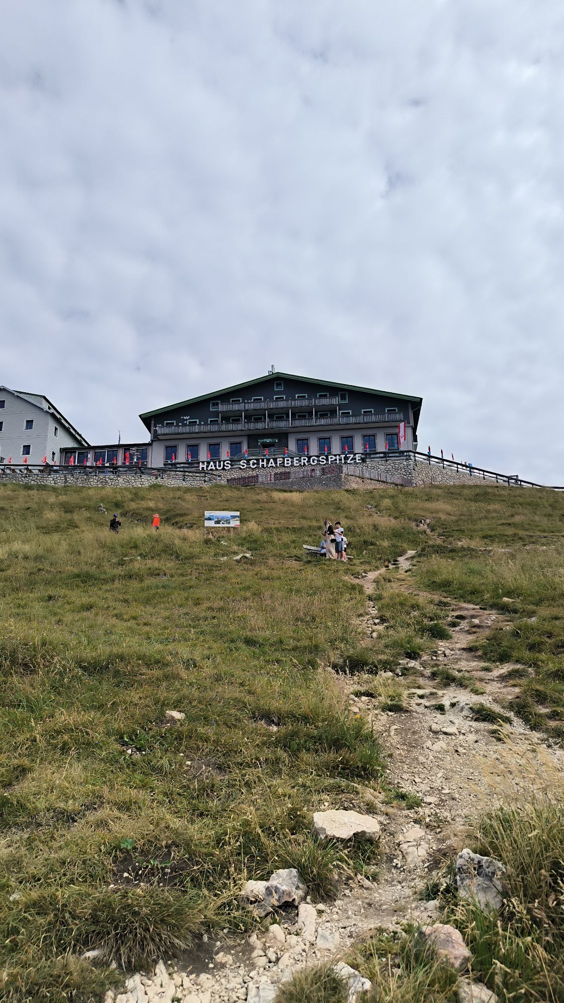
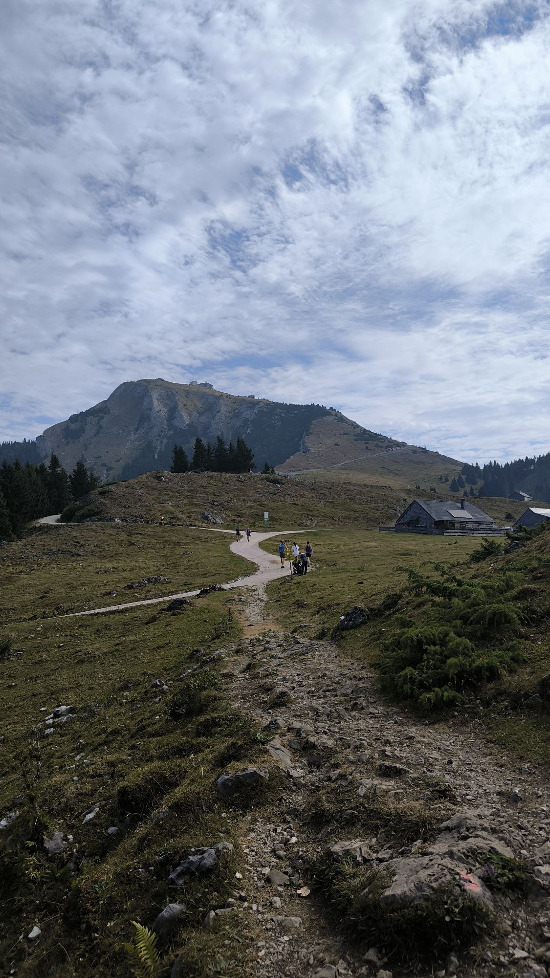
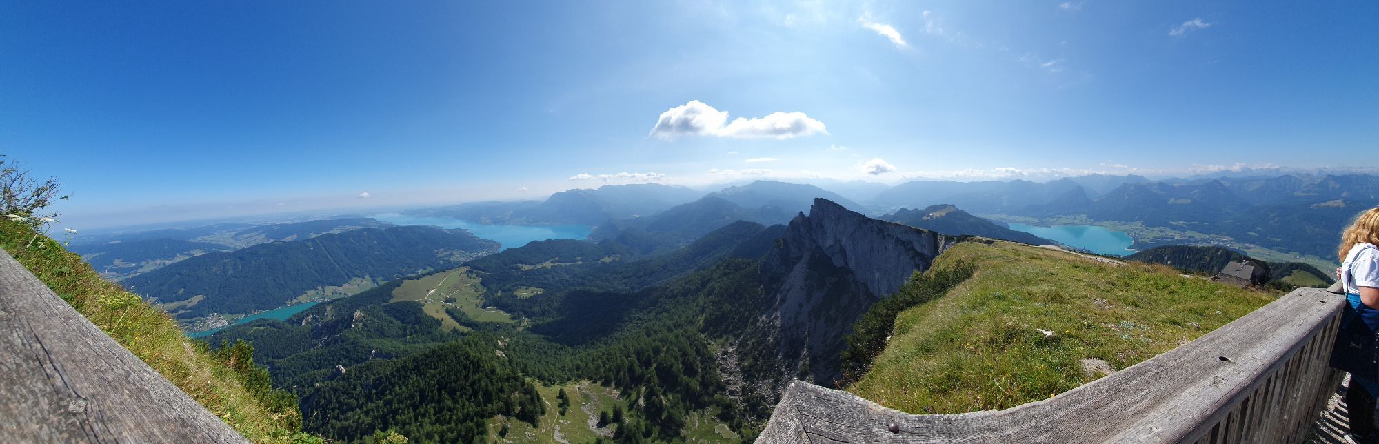
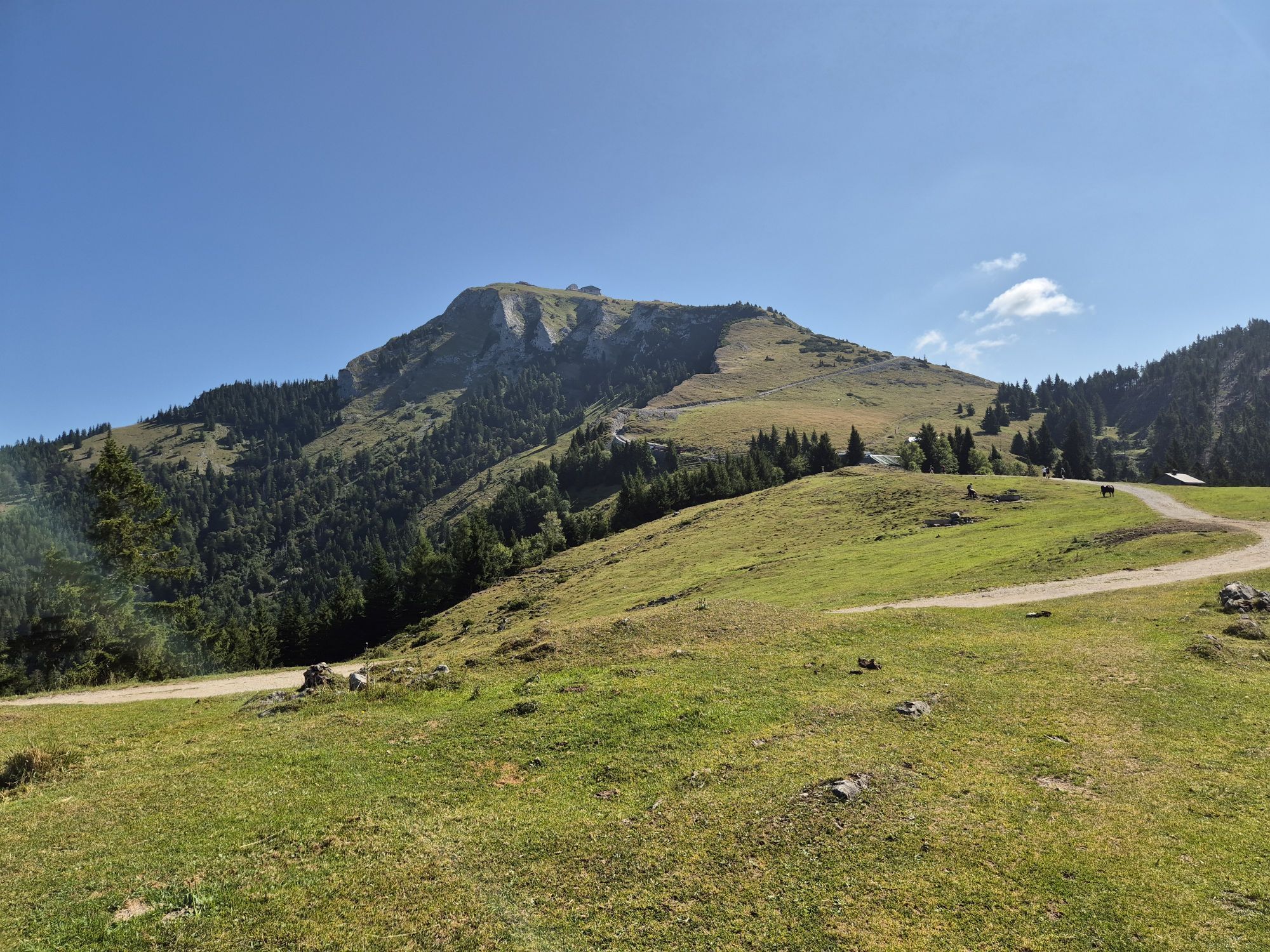
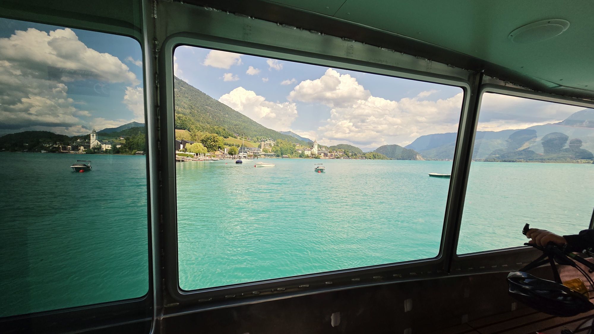
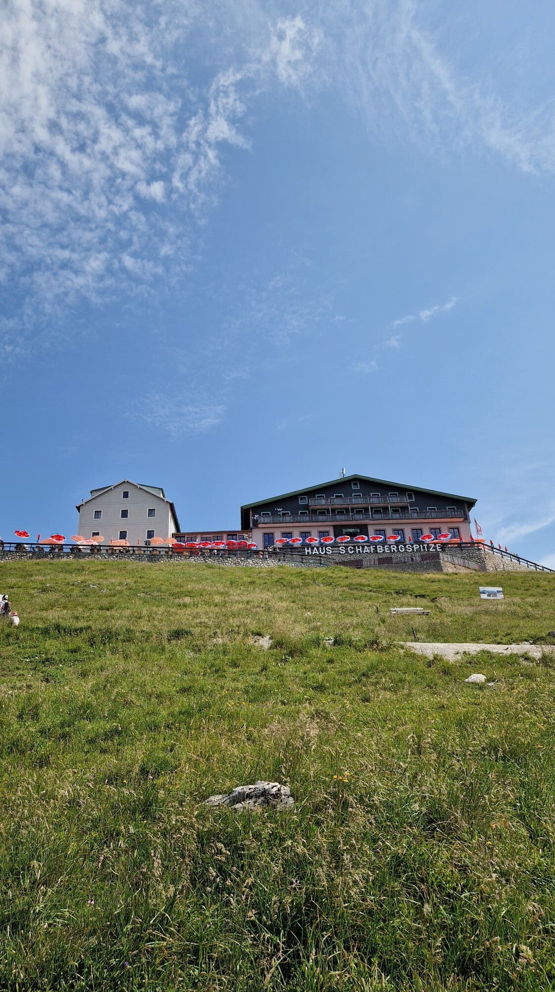
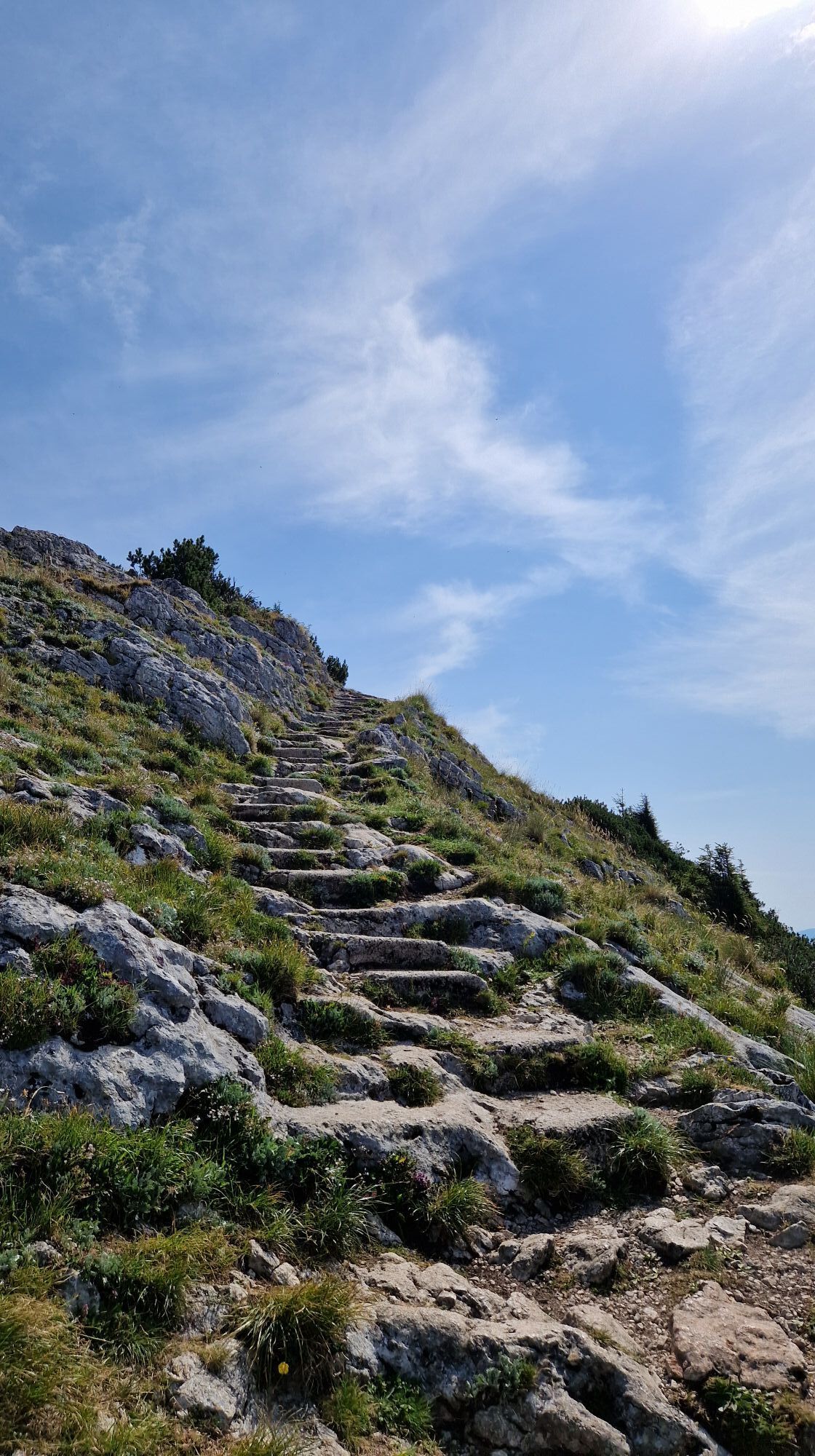
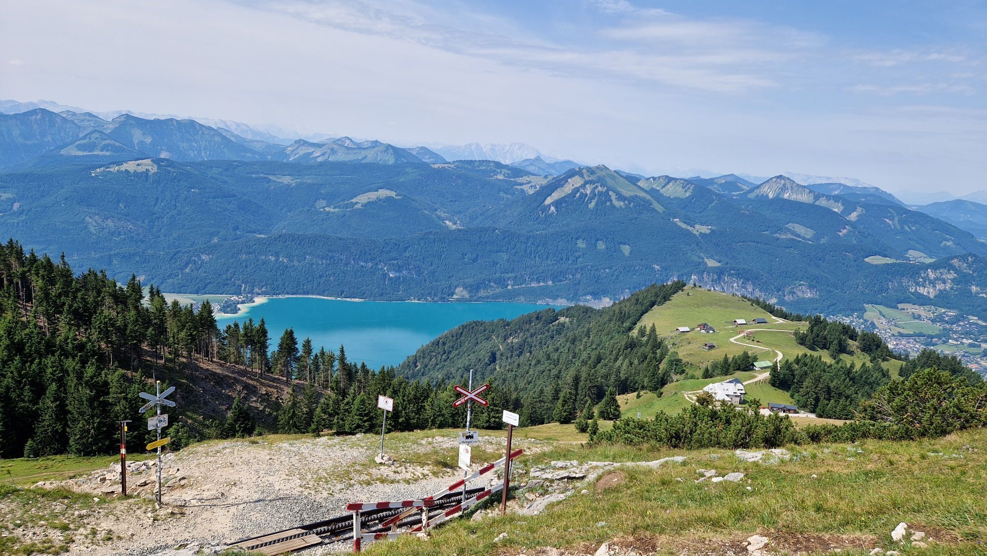
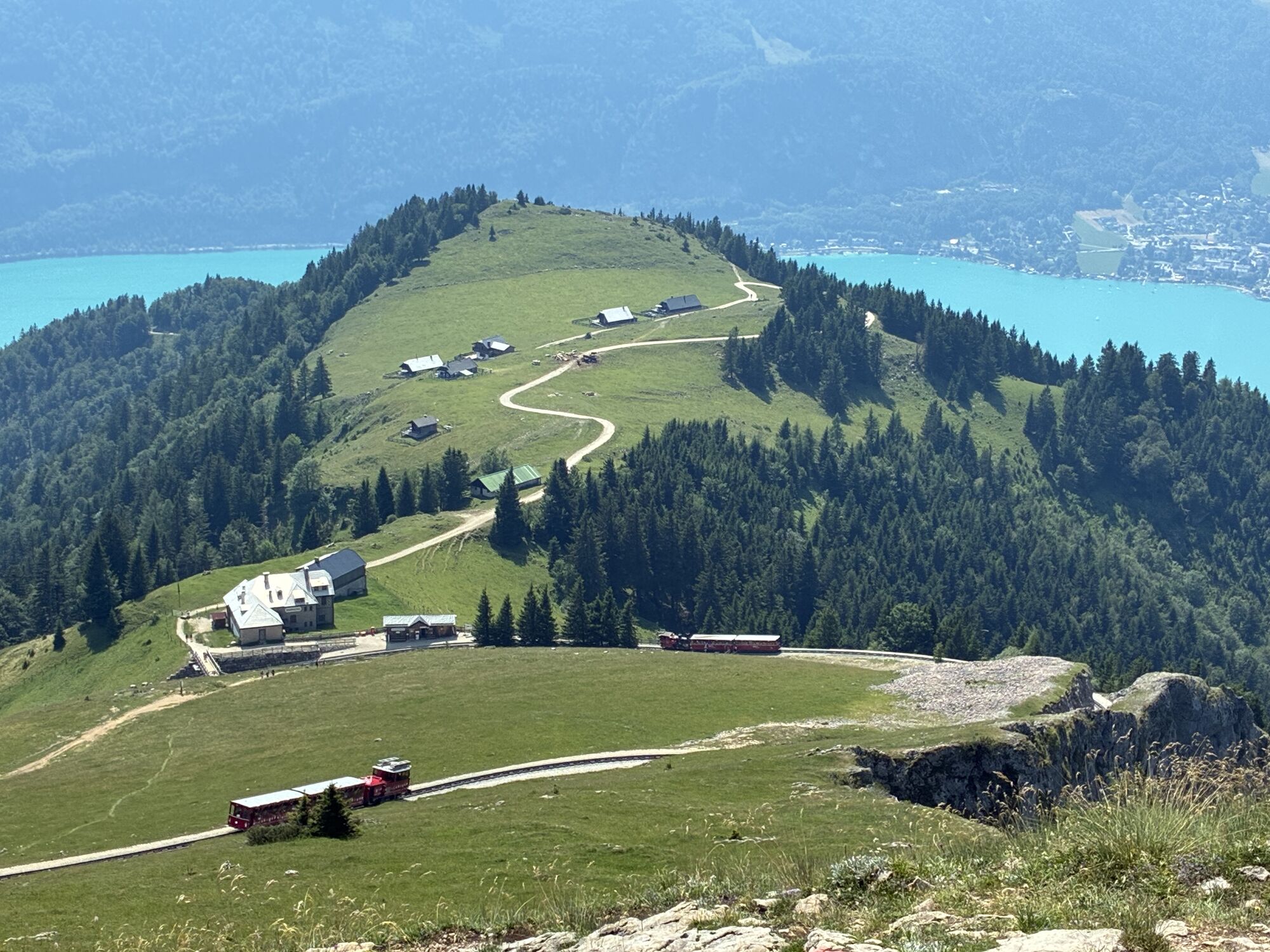
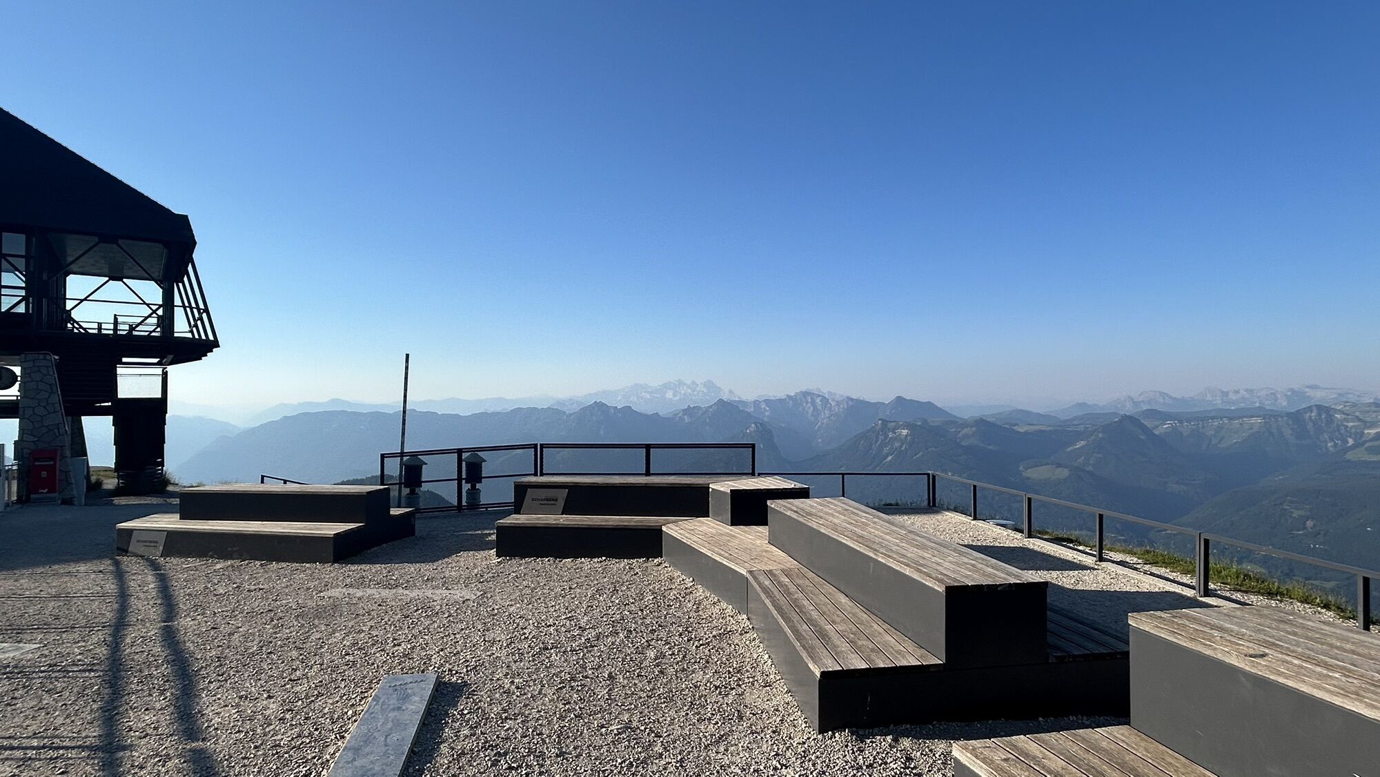
The 3rd stage starts with the descent from the Schafberg or the ride down the valley with the cog railway. Then by boat, then on the Almkogel and to Mondsee.
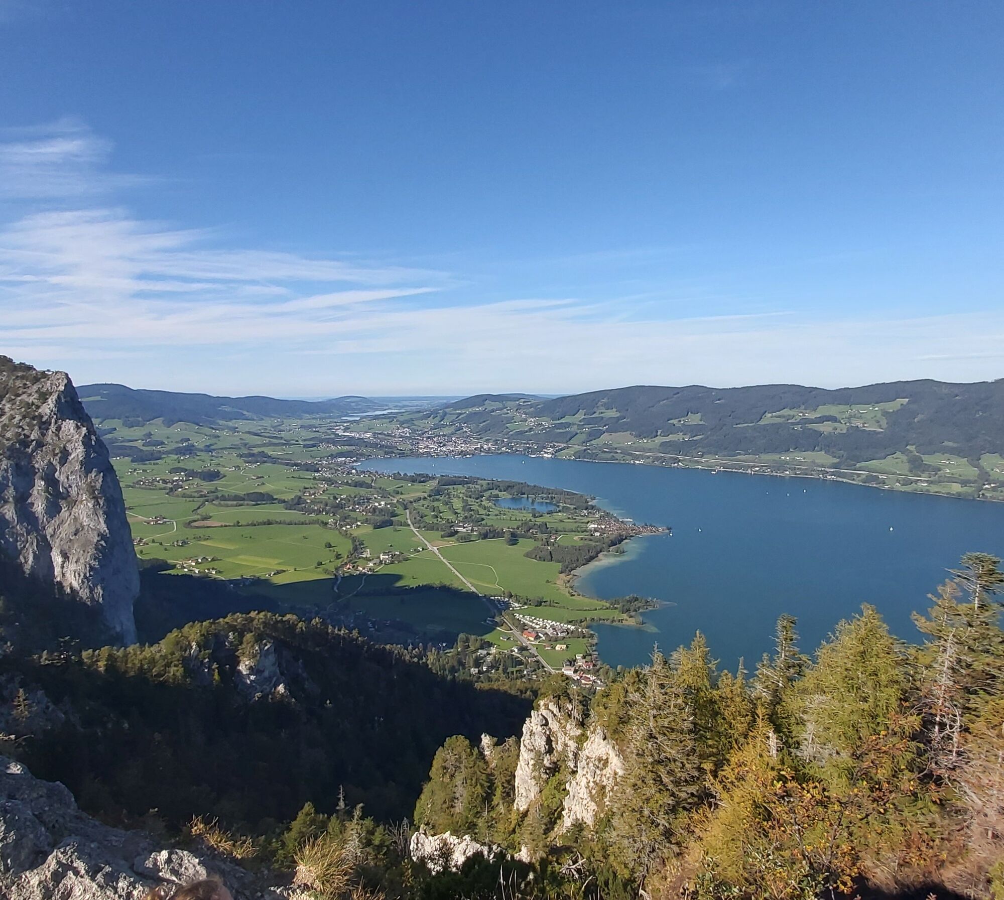
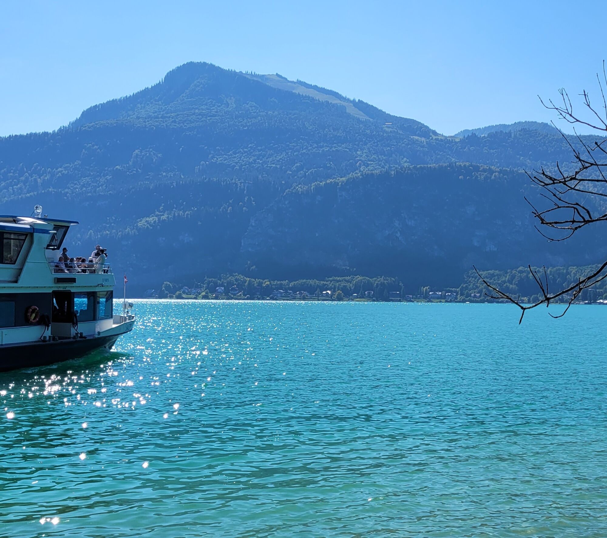
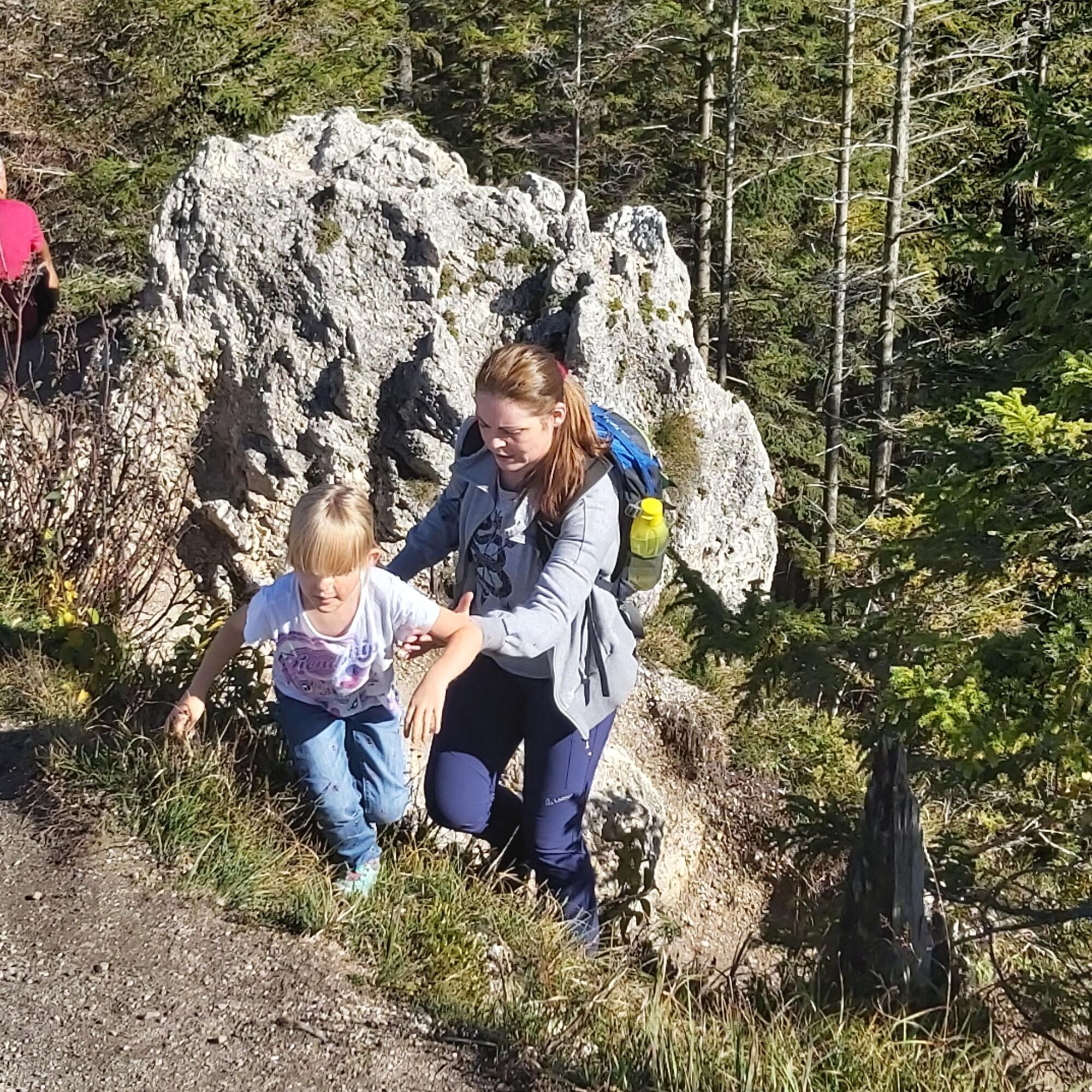
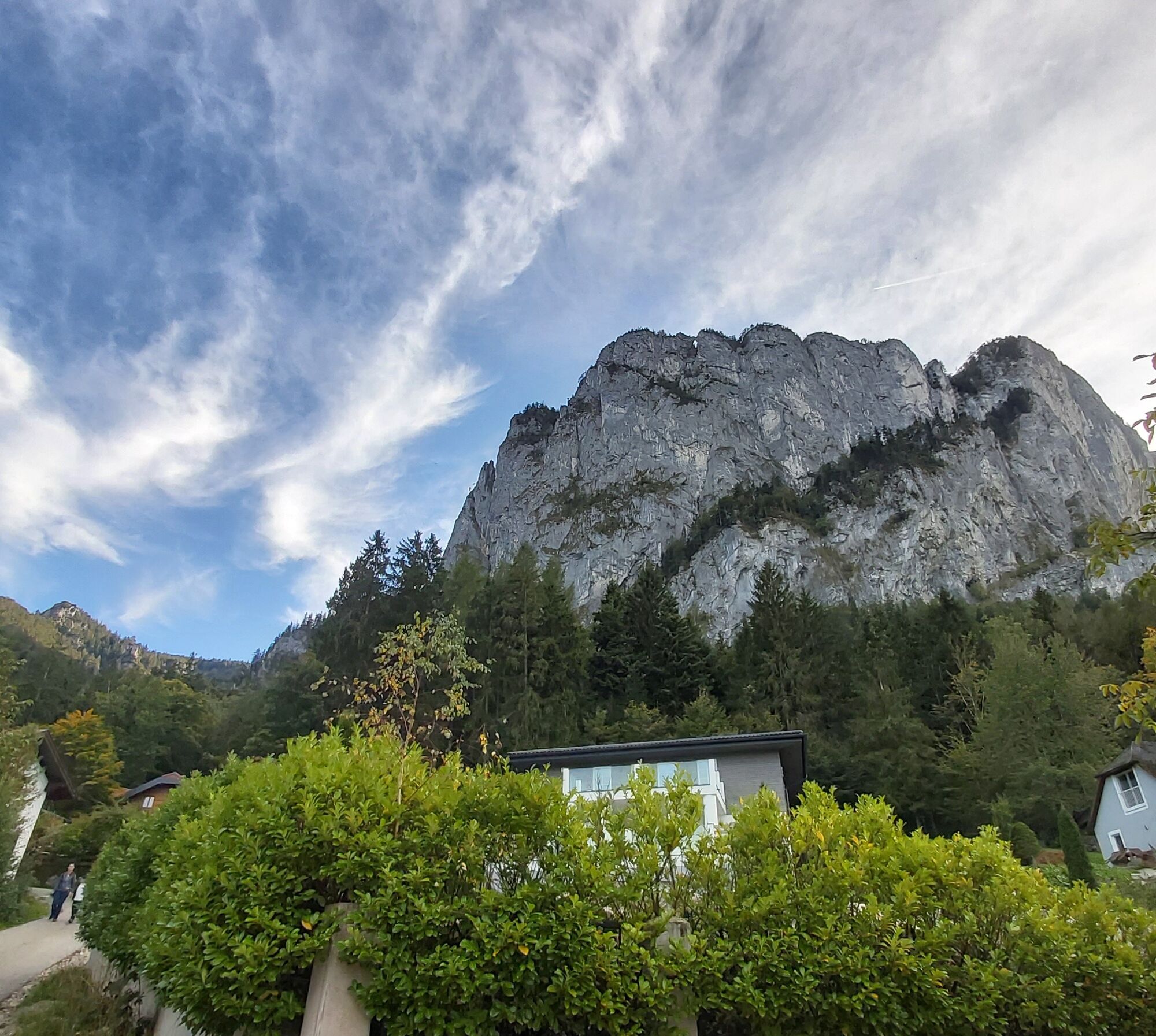
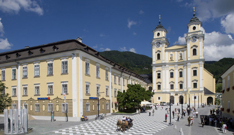

The combination of train and boat only gets you to Fürberg around noon. From there, you still have 5 hours of hiking ahead of you. The actual hike takes place in the afternoon on this route. The distance is then 14.5 km from Fürberg.
Those hiking downhill can follow the Schafbergweg to St. Wolfgang (distance 22 km / 7.5 hours).
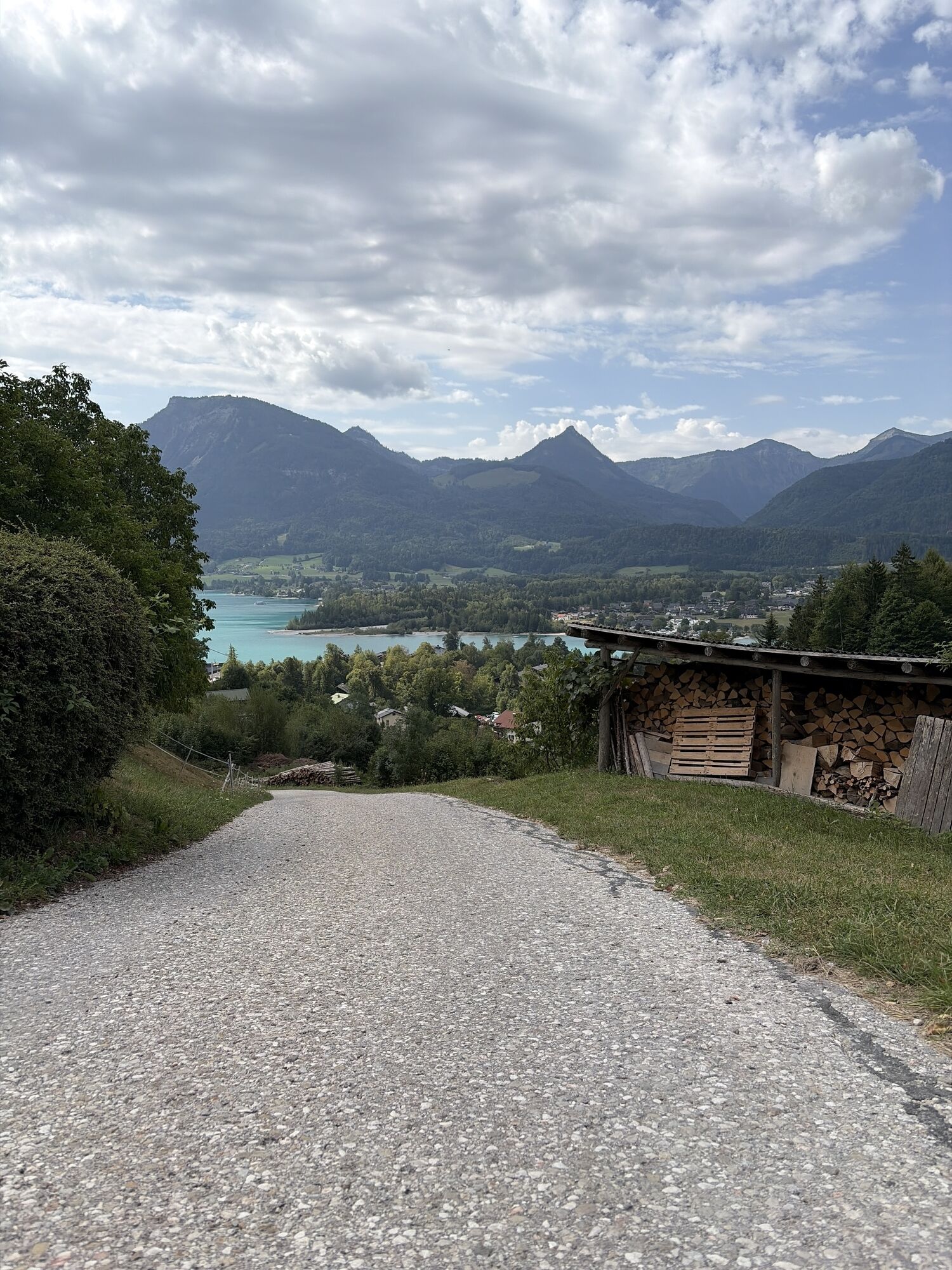
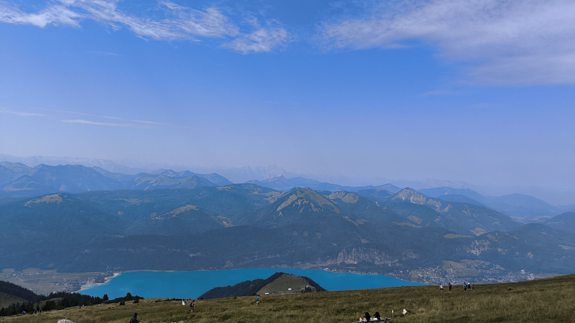
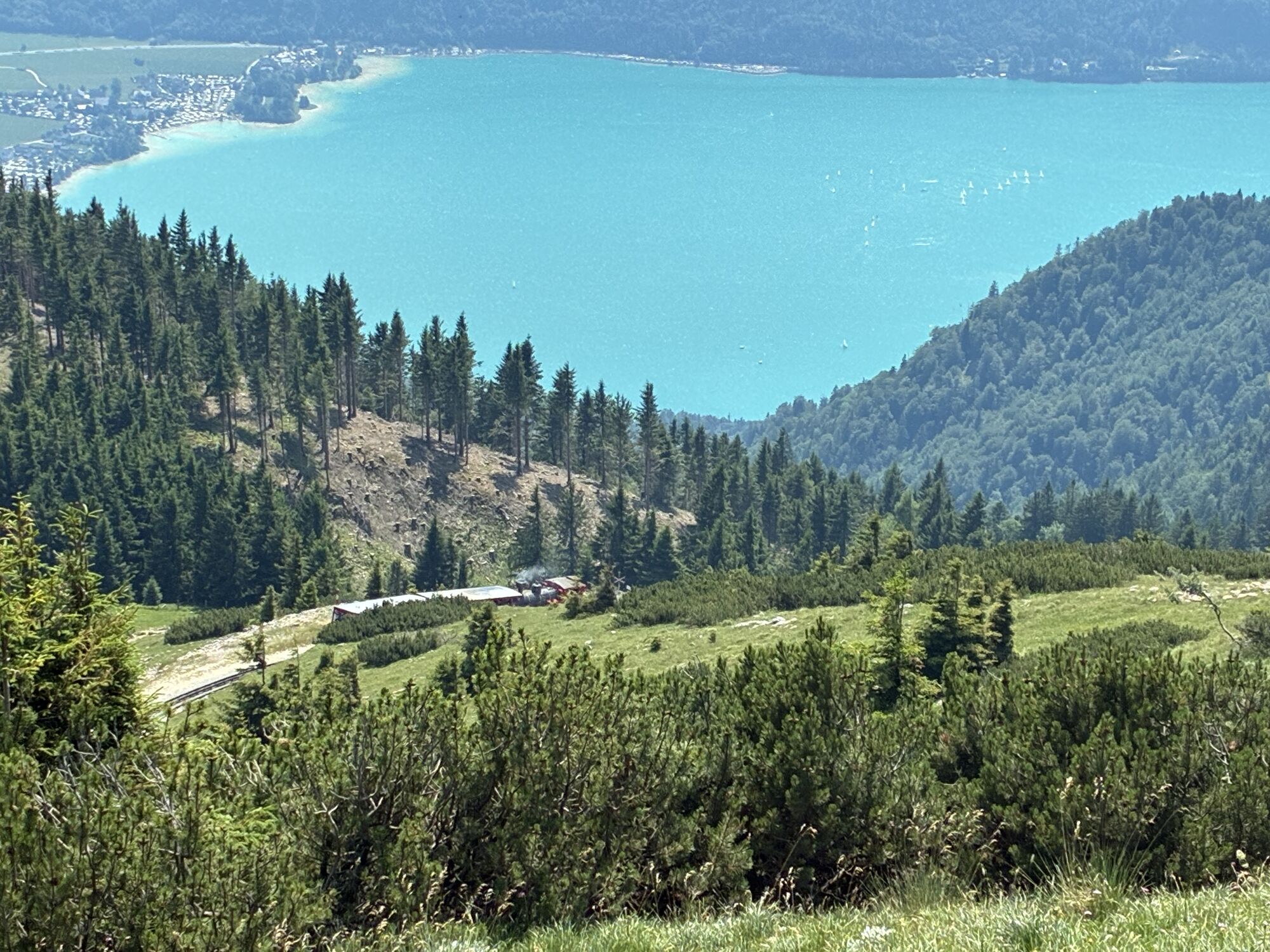
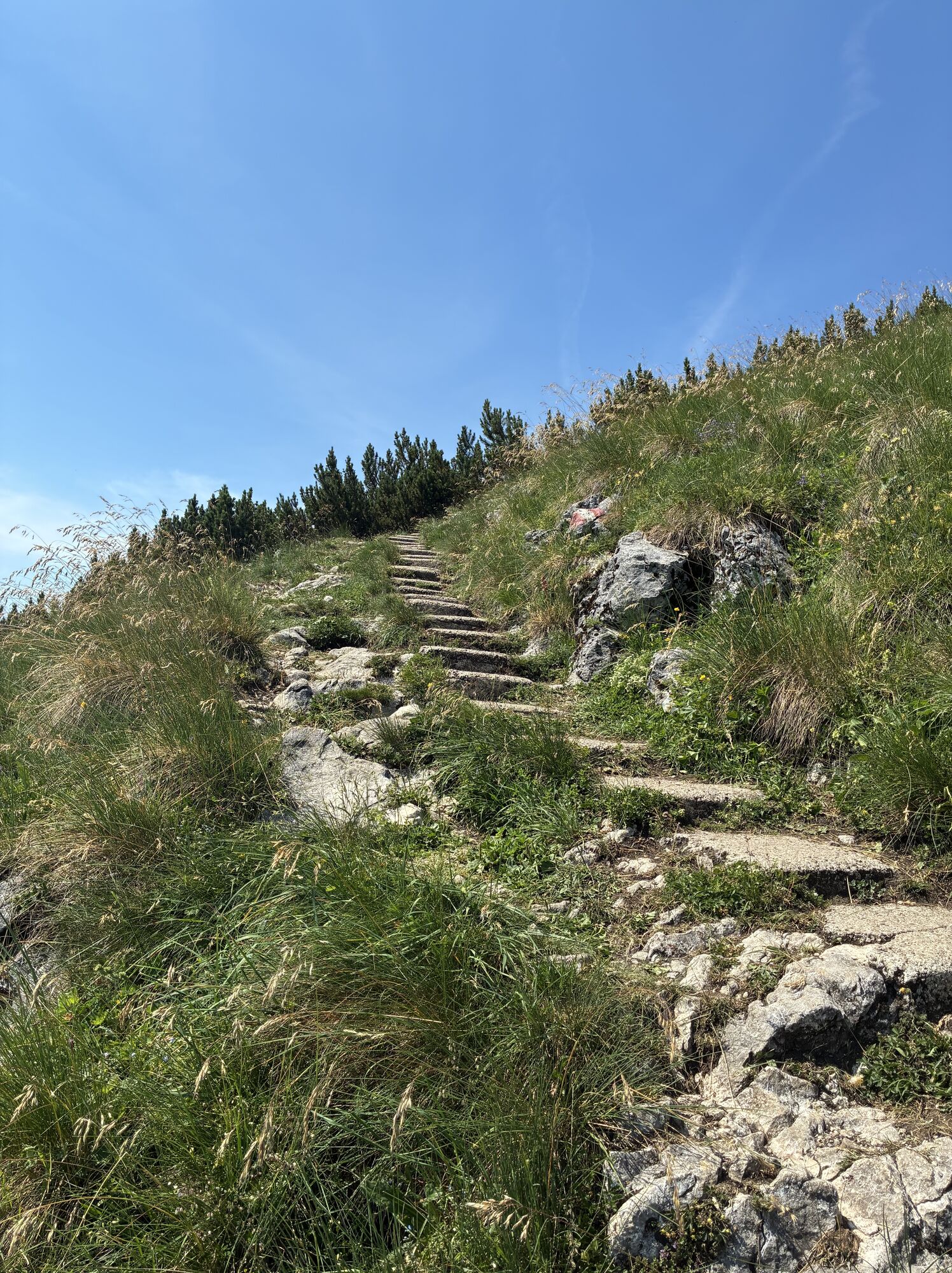
Downhill on the Schafbergweg, partly along the route of the Schafbergbahn - or directly by train to St. Wolfgang at the valley station.
Return by boat from the Schafbergbahn station to Fürberg.
Or directly hike from Schafberg towards Fürberg to Winkl (distance 18.5 km / 6.5 hours)
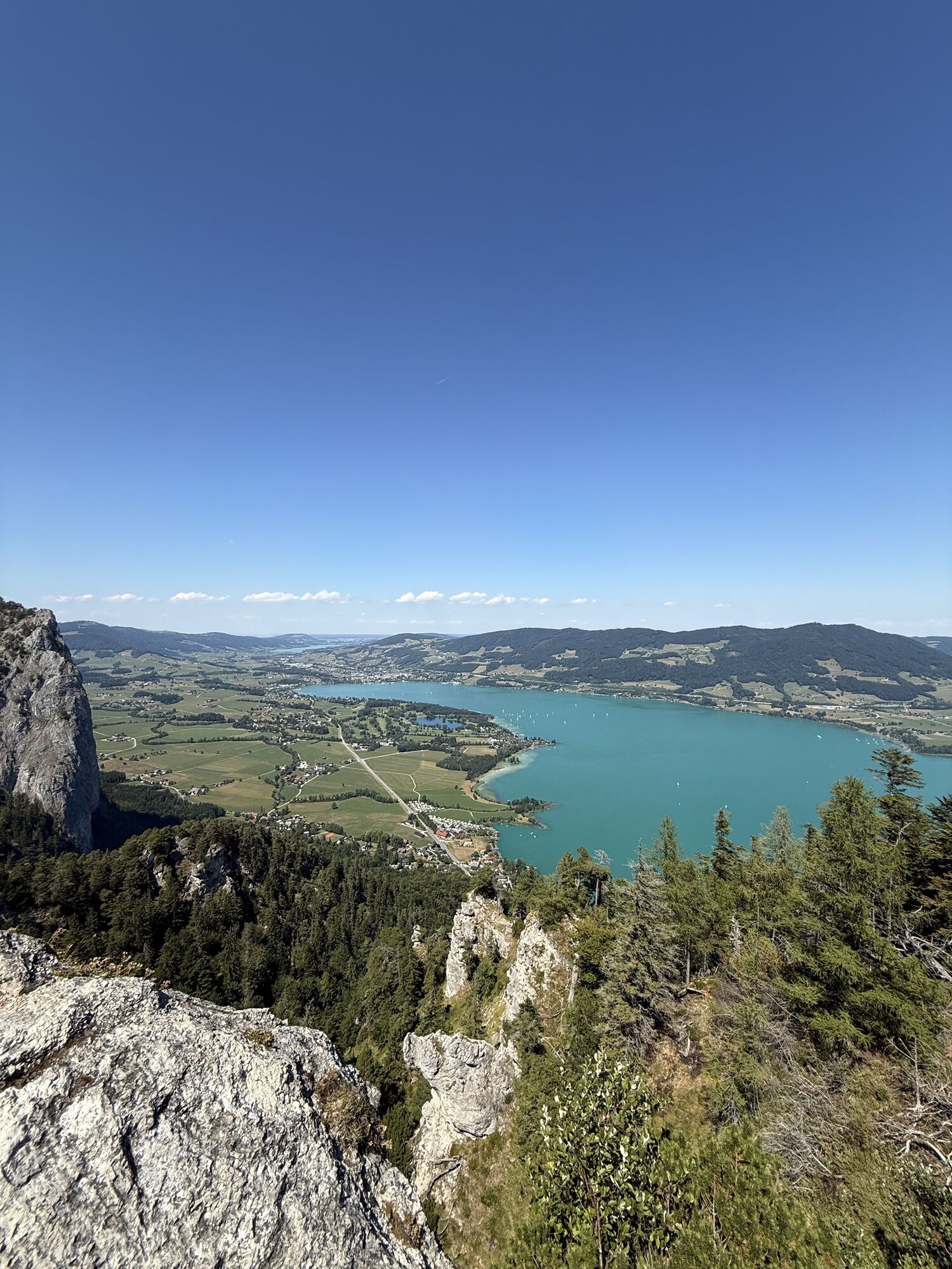
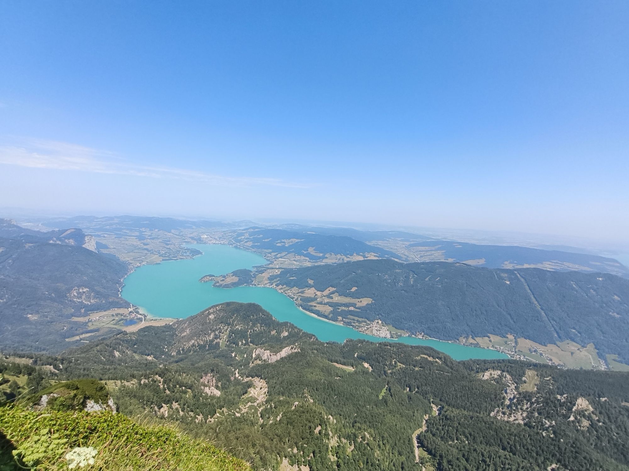
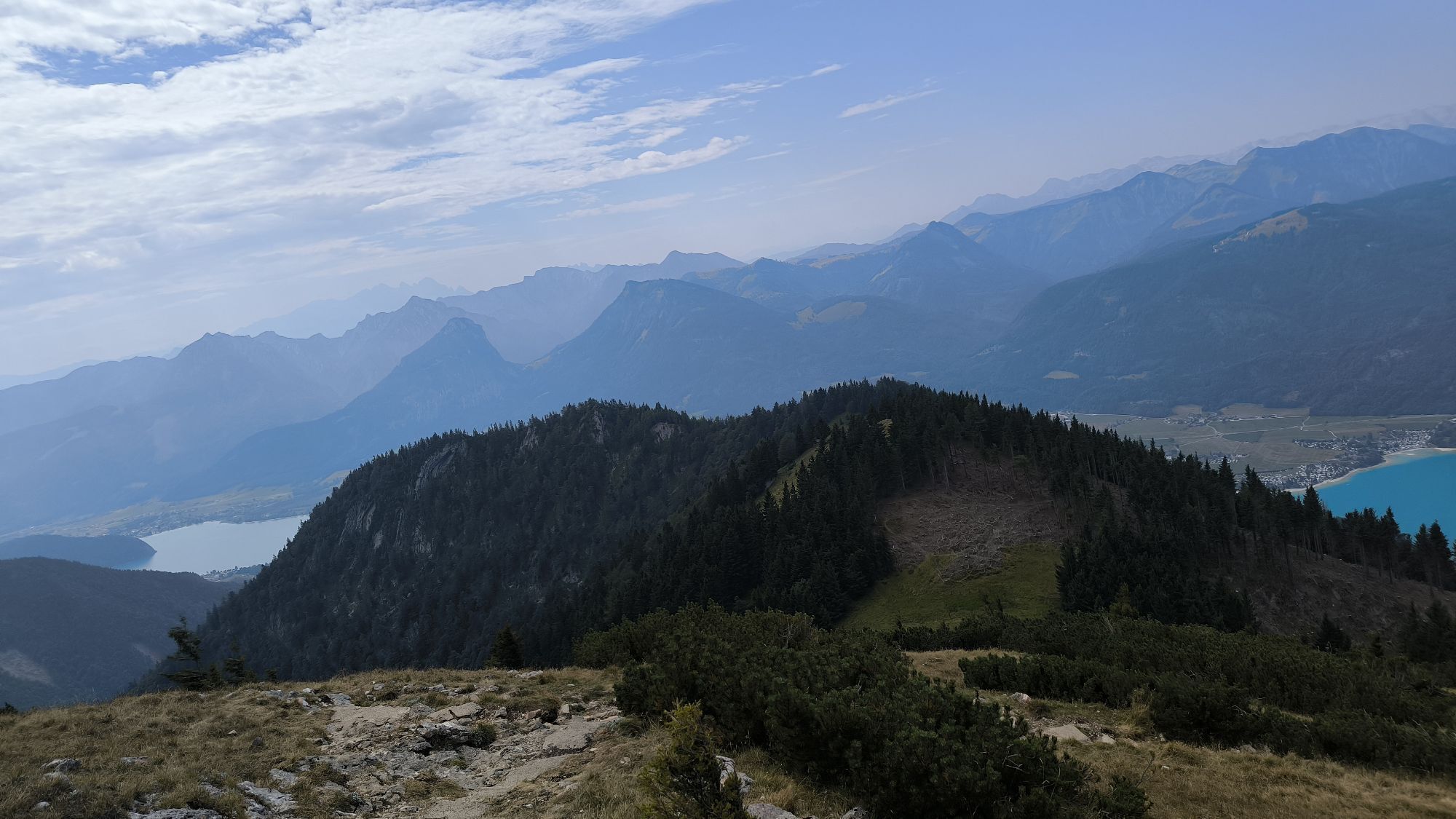
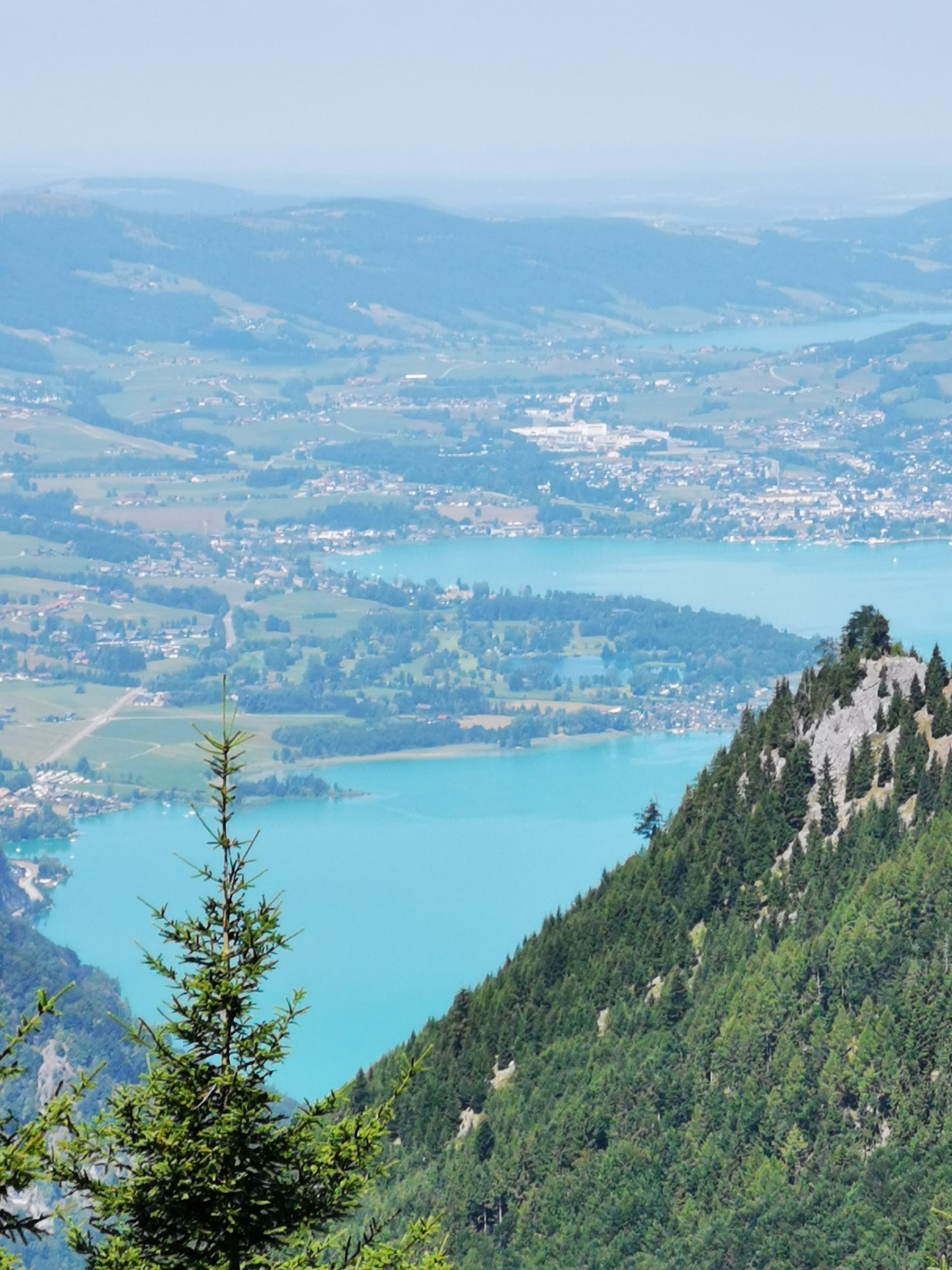
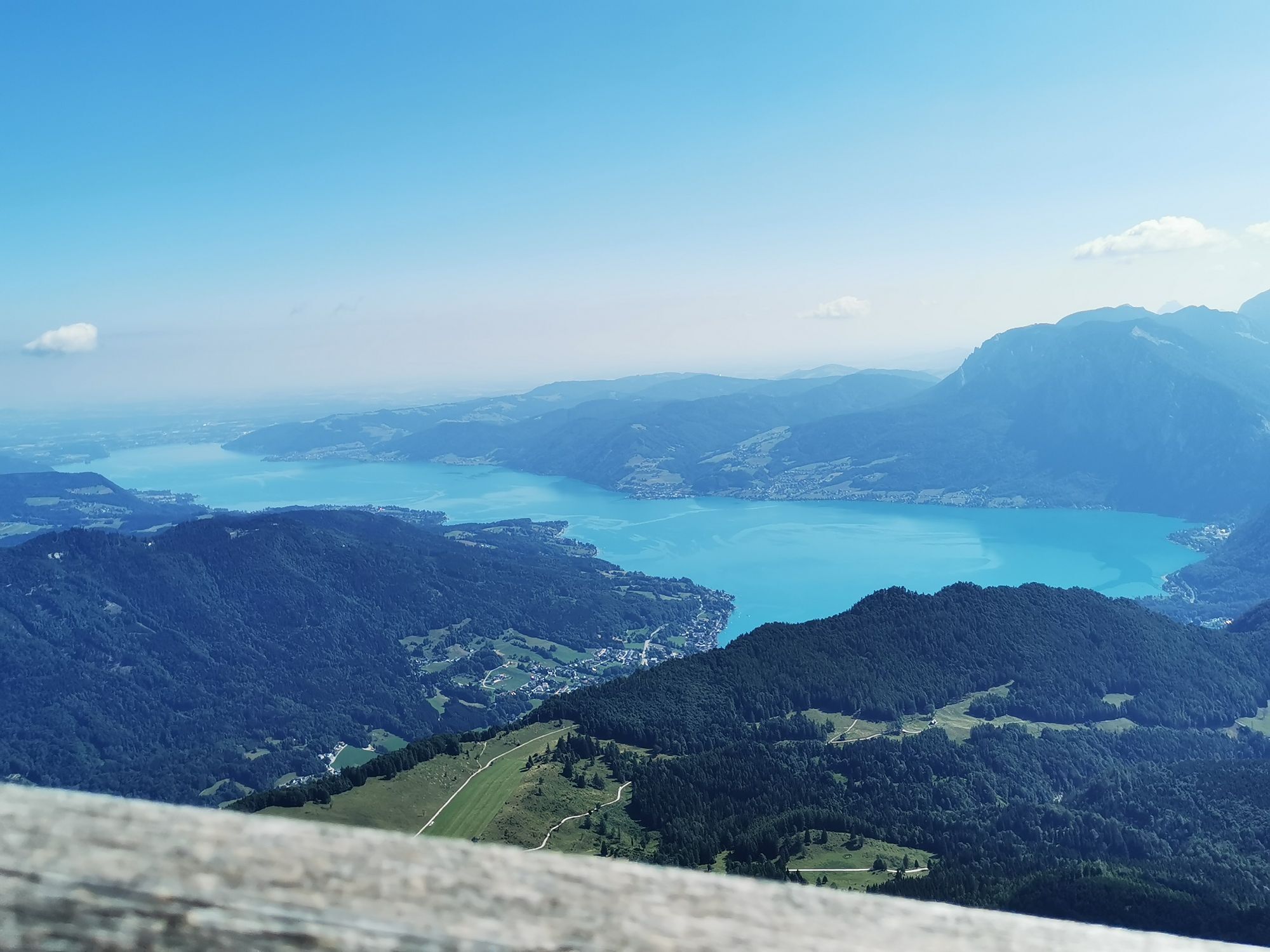
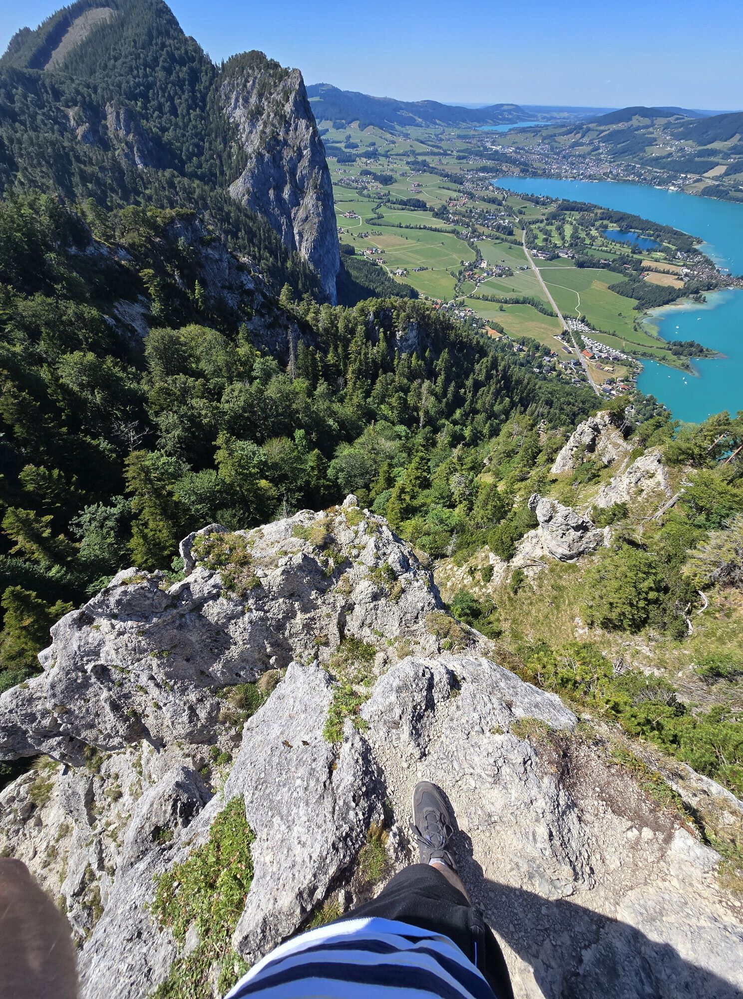
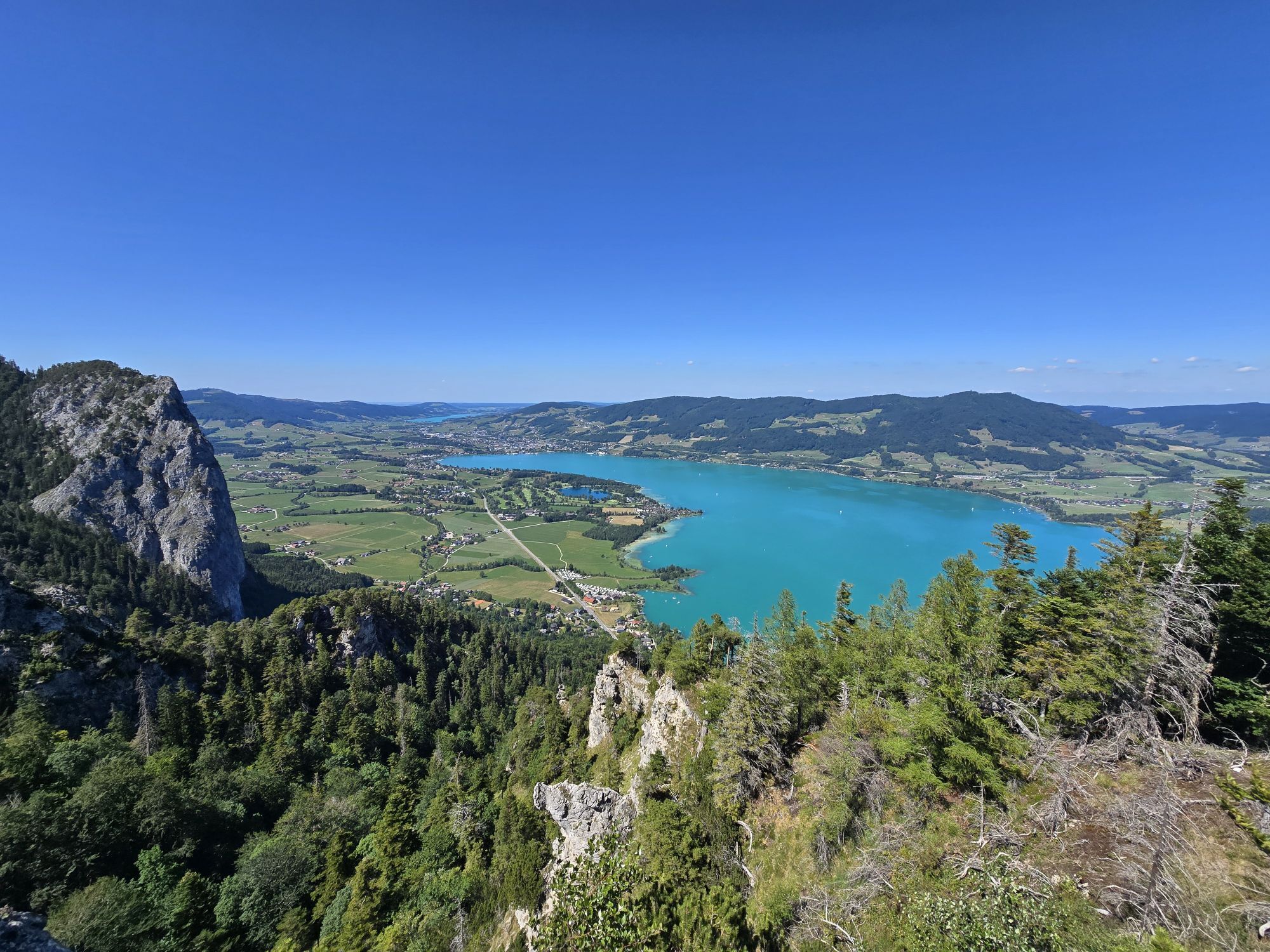
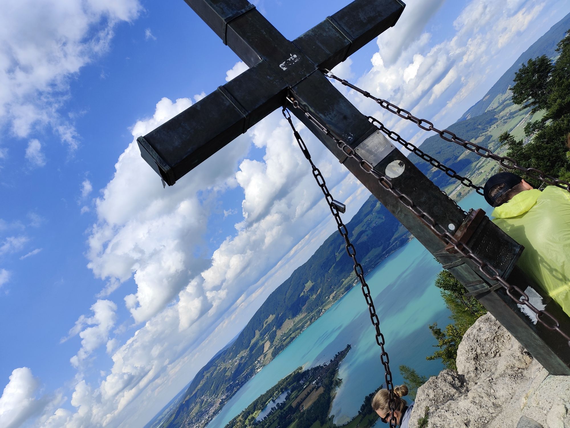
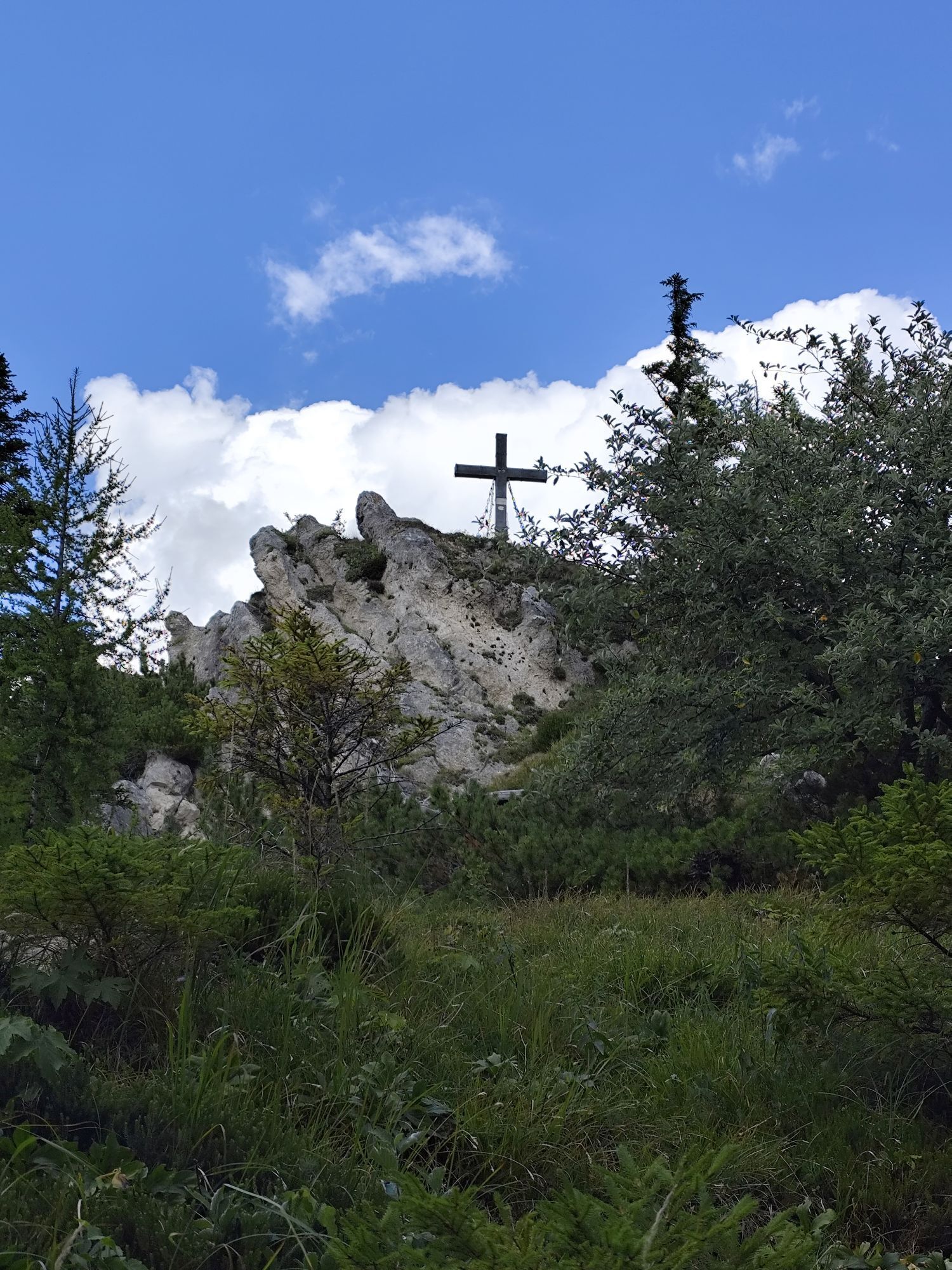
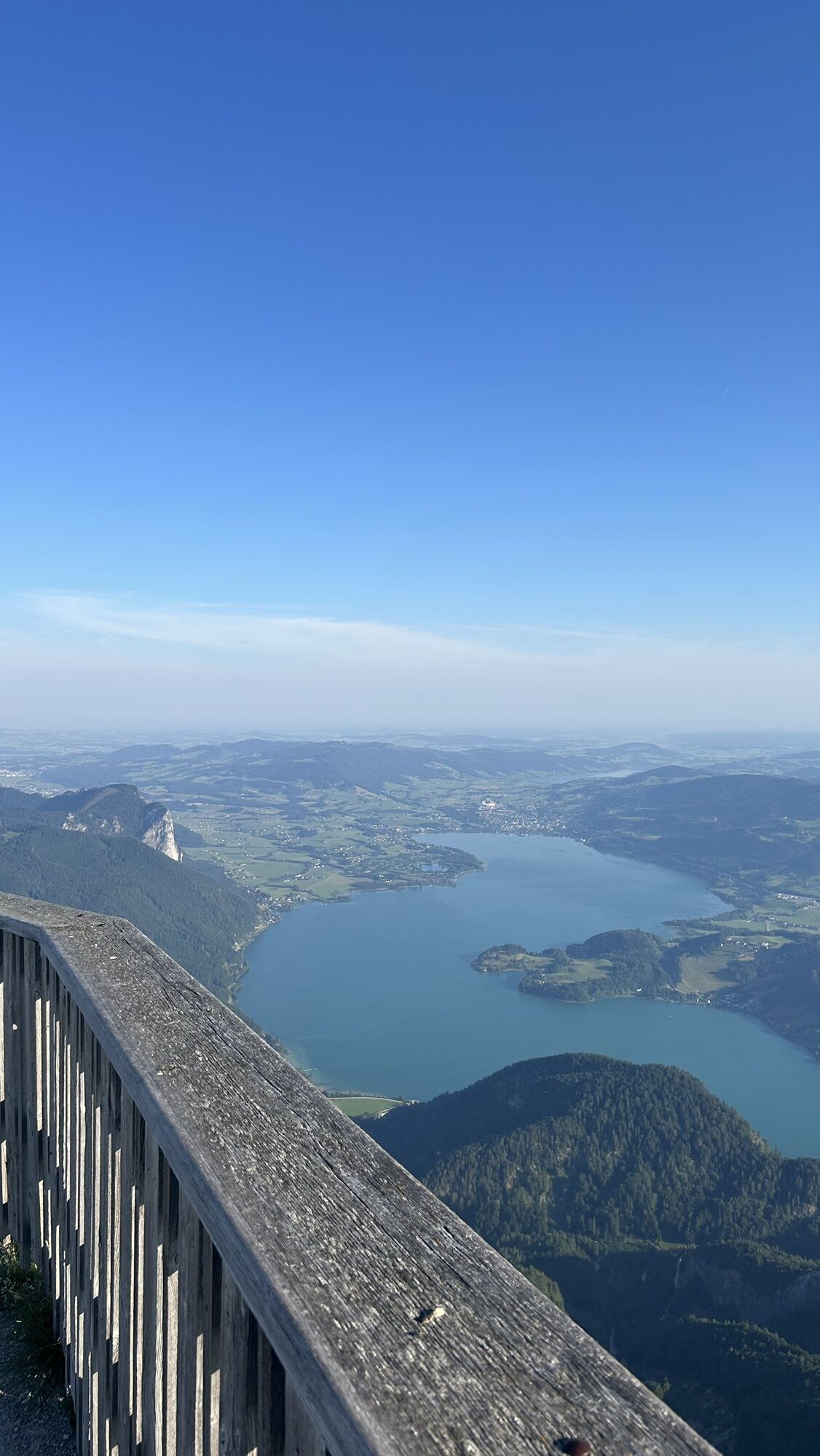
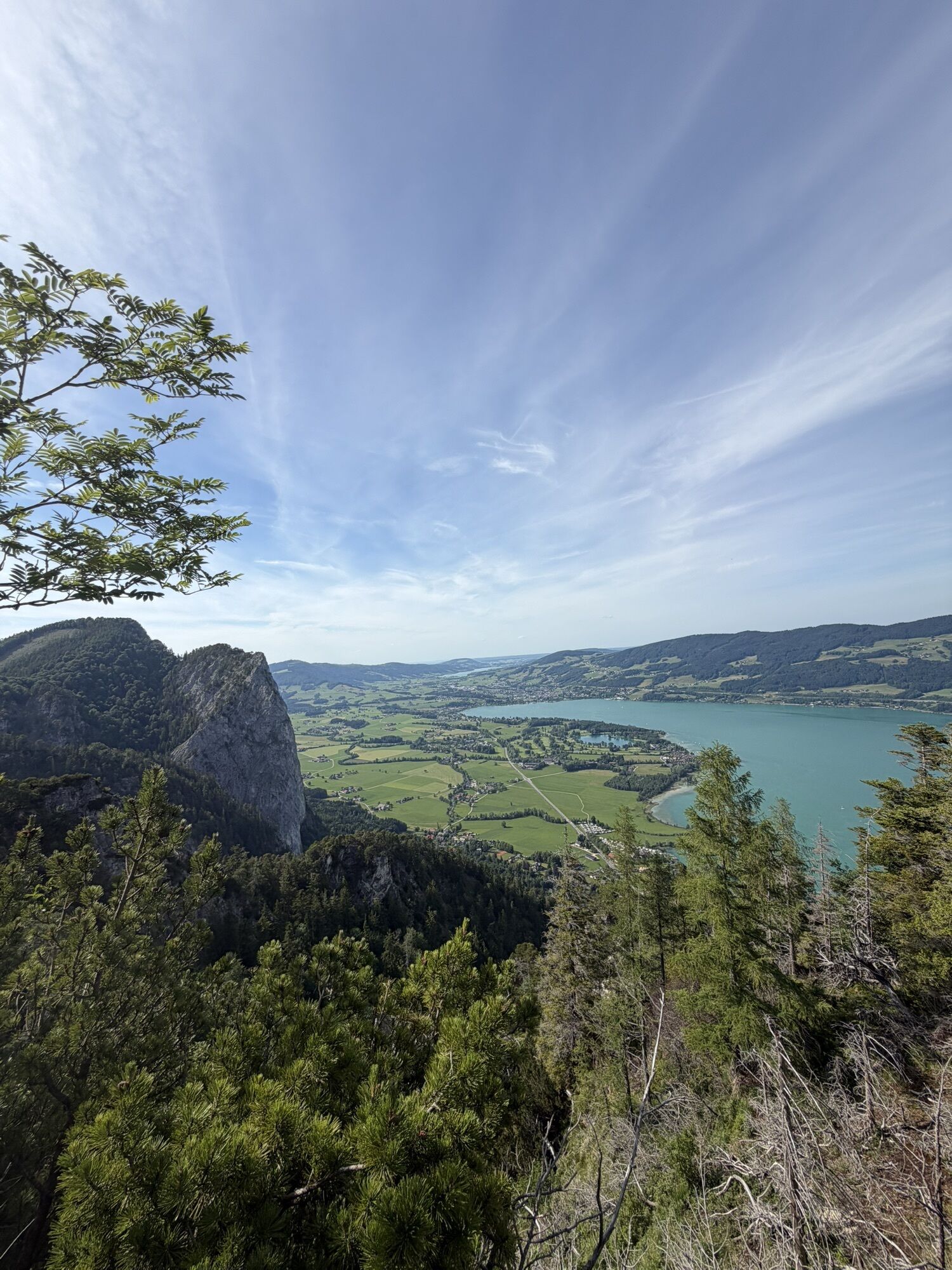
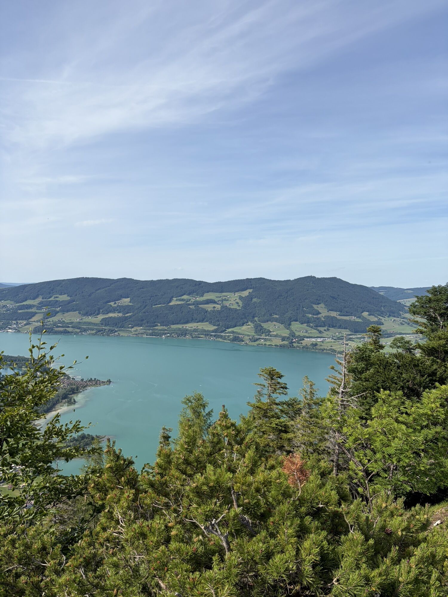
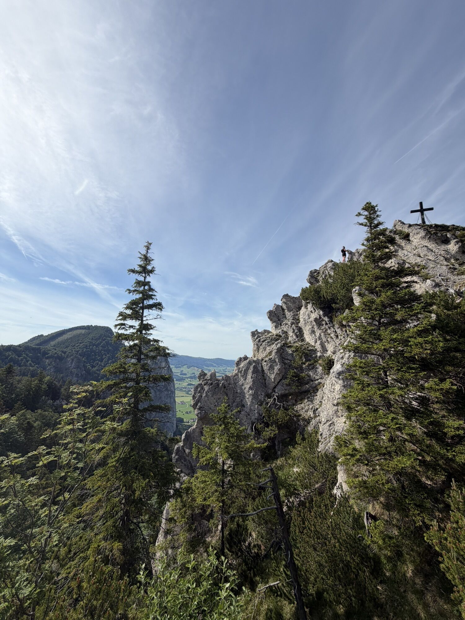
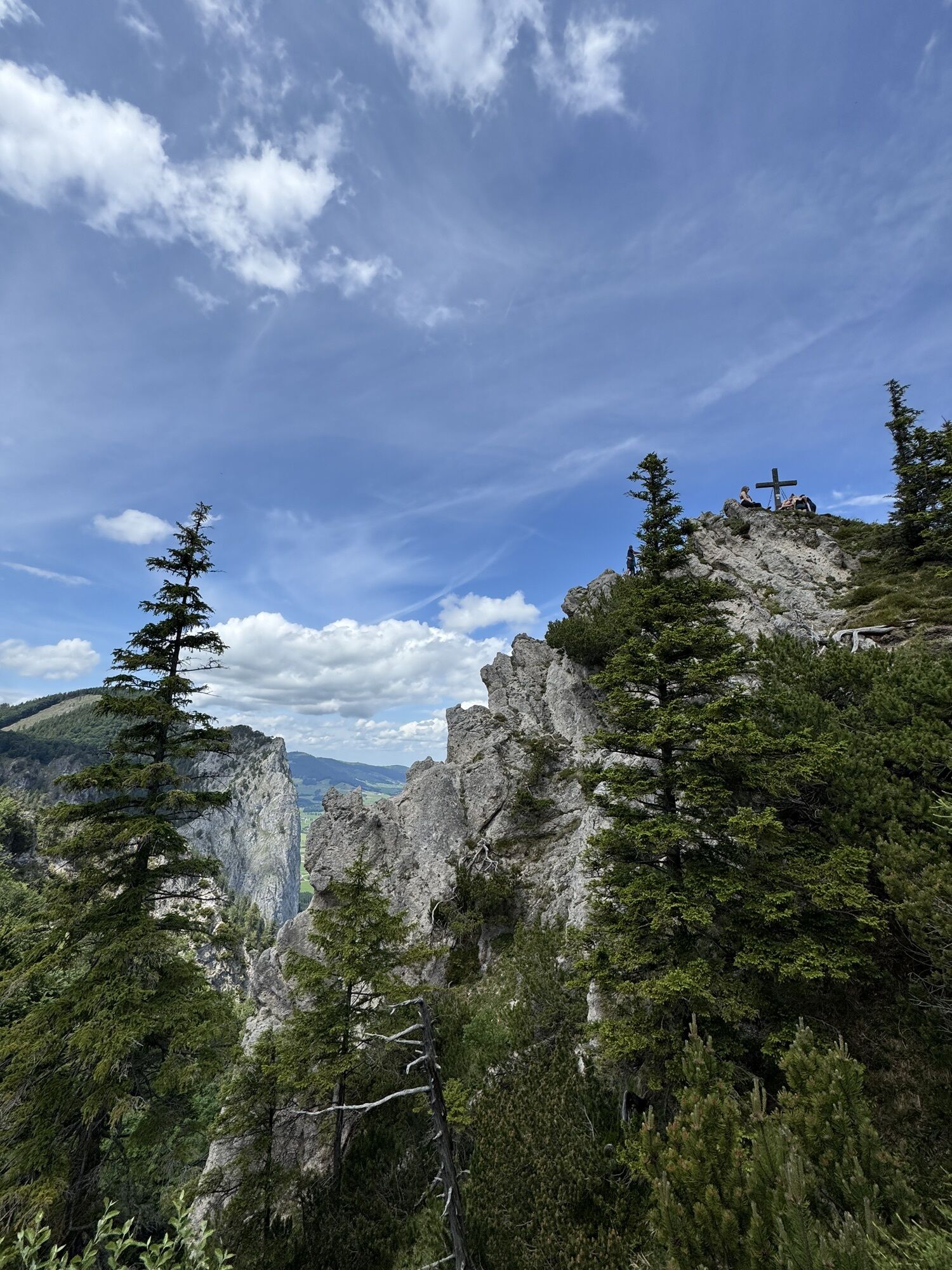
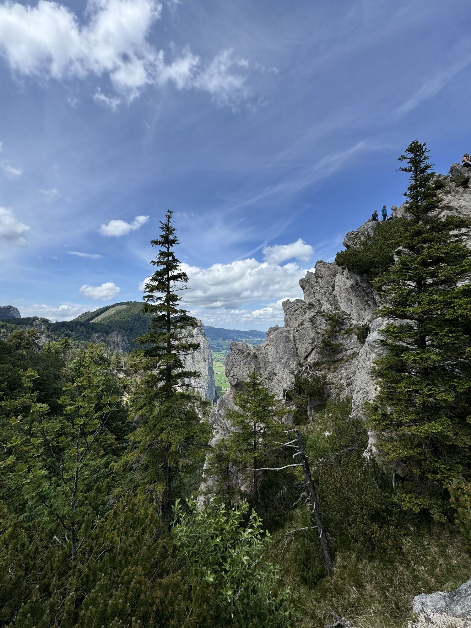
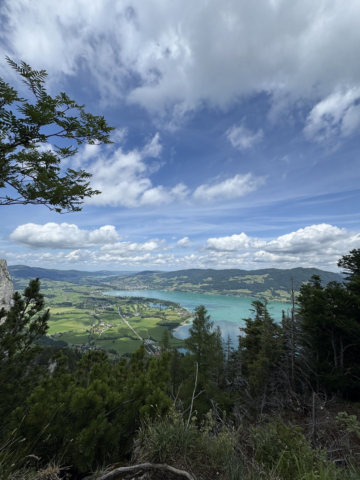
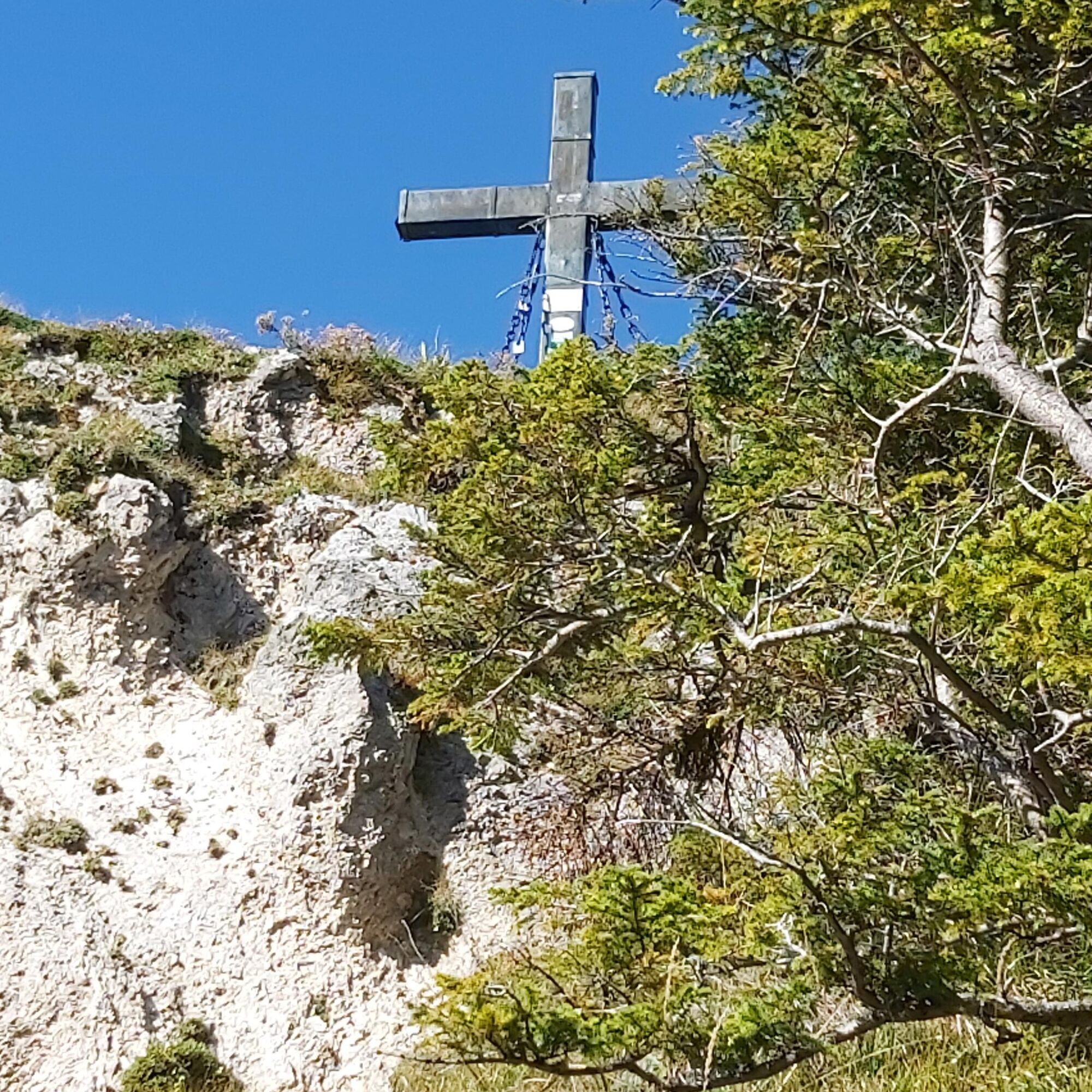
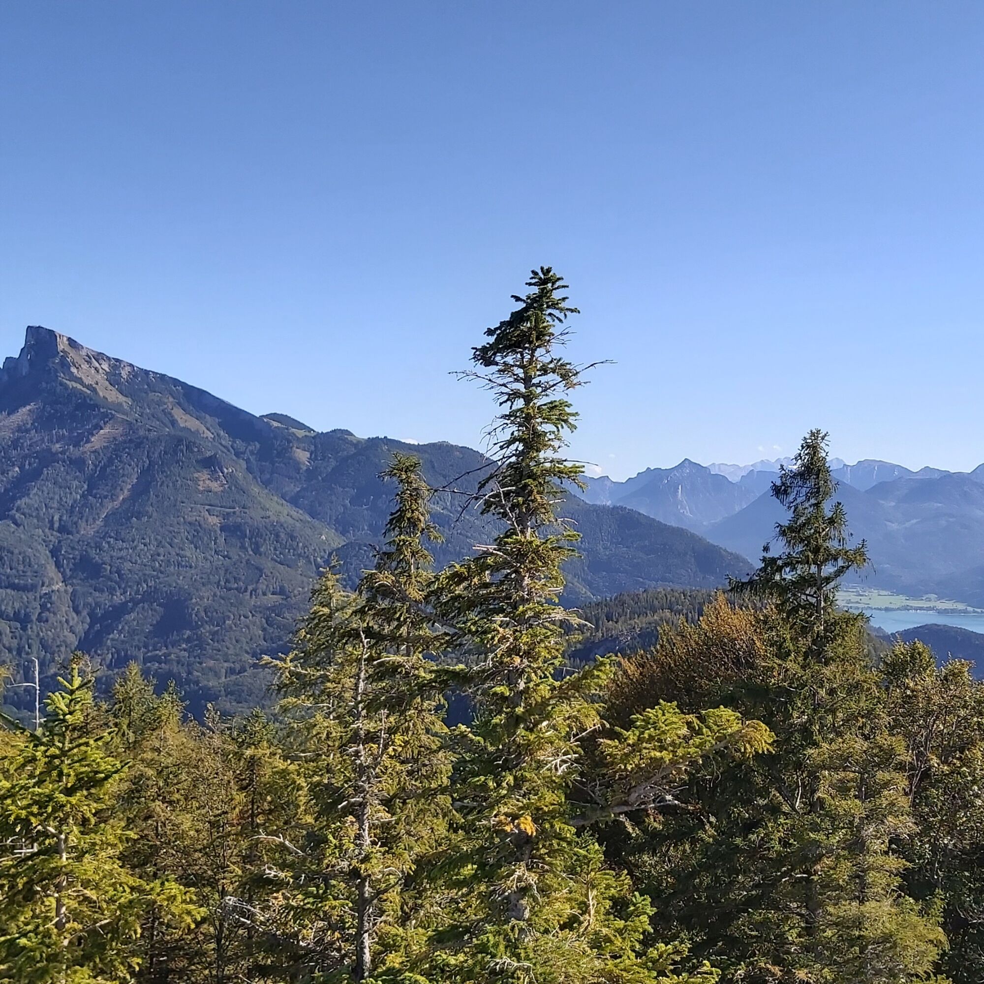
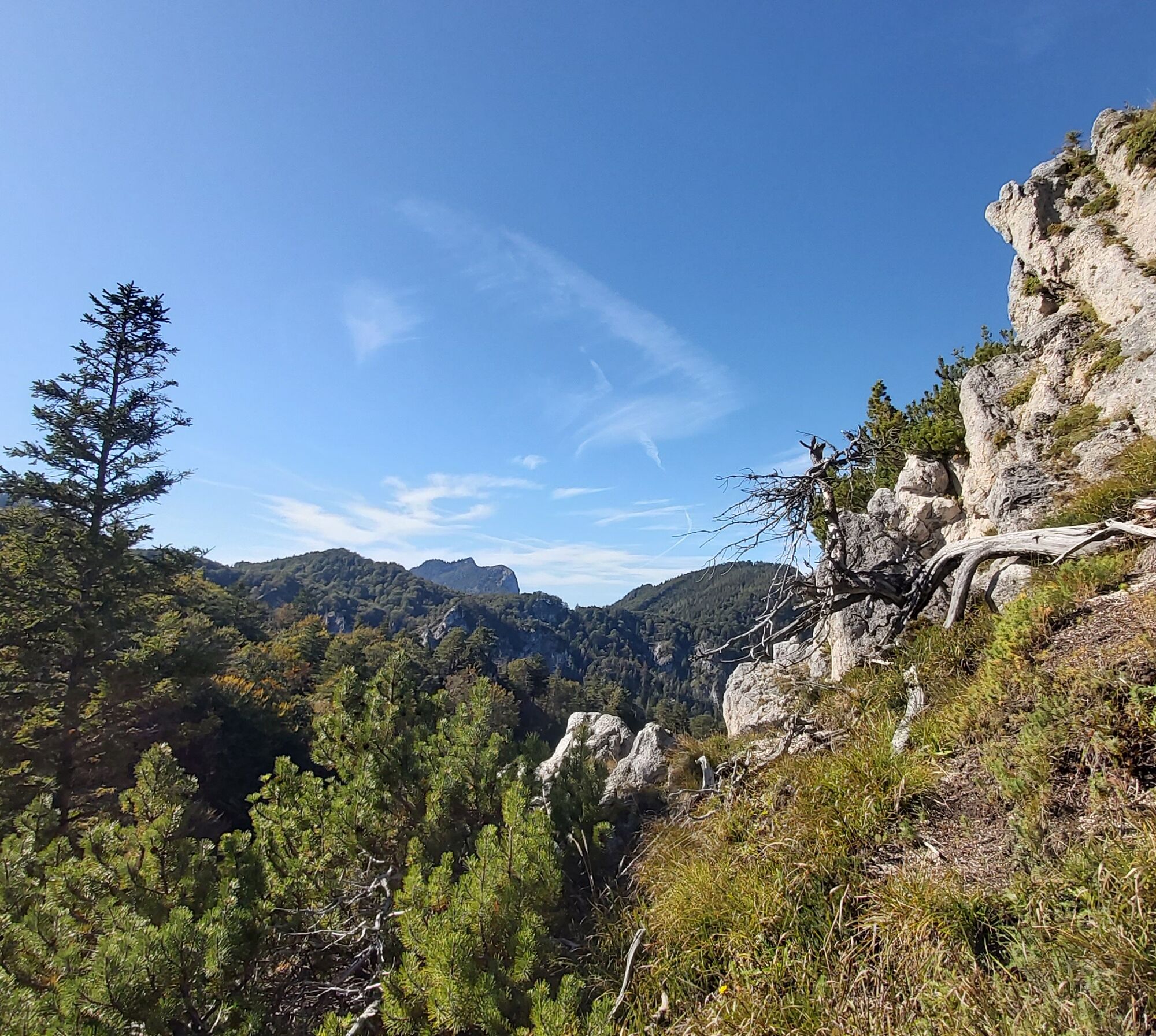
From Fürberg on the access road towards the district of Winkl, where we pass the European Monastery Gut Aich. After 600 m turn right on a path to Hüttnstein Castle and the Batzenhäusl inn next to Krottensee, one of the 76 lakes in the Salzkammergut. Now on a farm road westwards to the Zeppezau farmstead (path 15), continue in the valley past a former mill, then on a steep path through the forest to a forest road. Now left on the road, later continue on a path (path 16) up to the rocky summit of the Almkogel, with a magnificent view of Mondsee, Irrsee and Attersee.
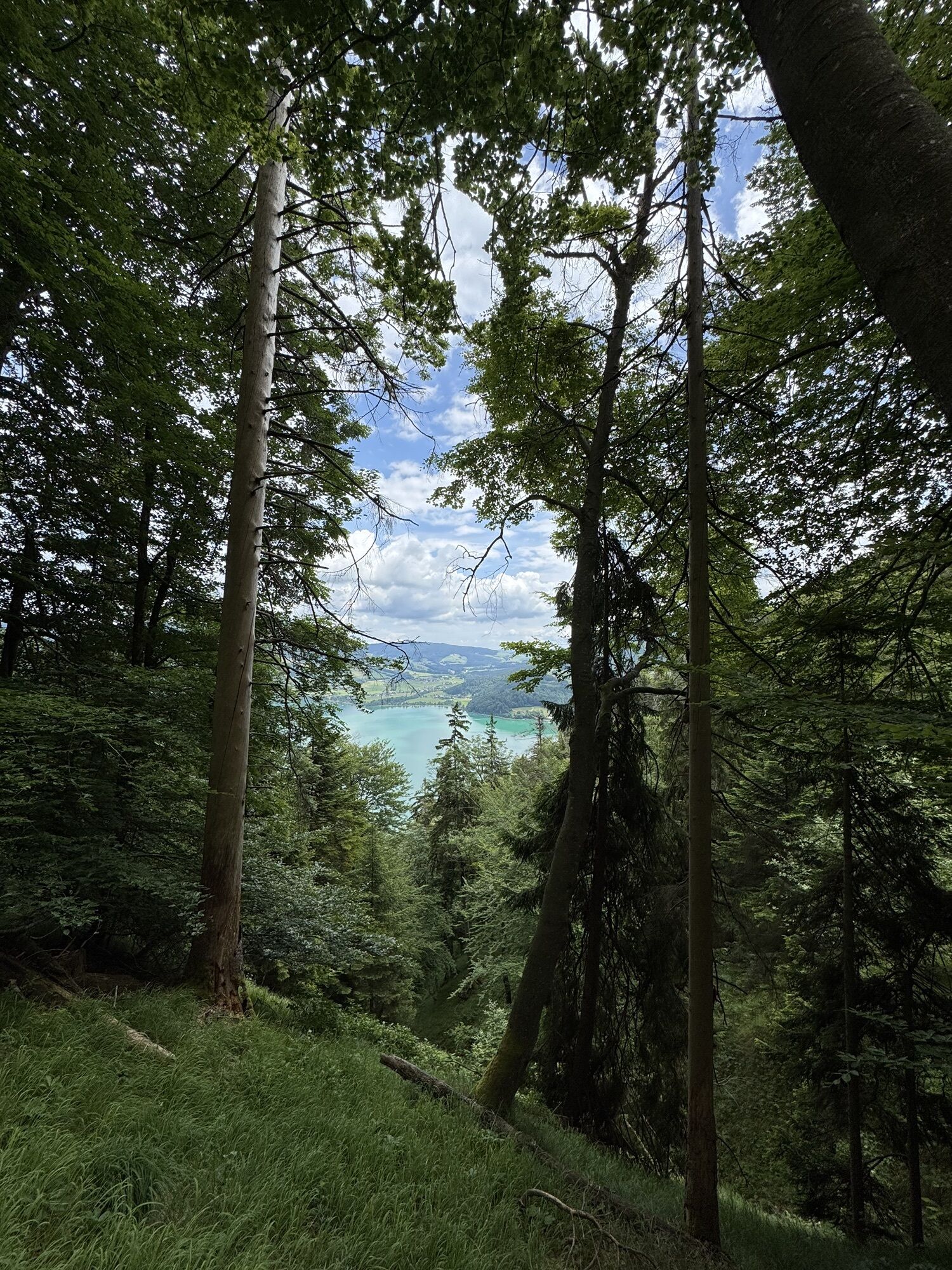
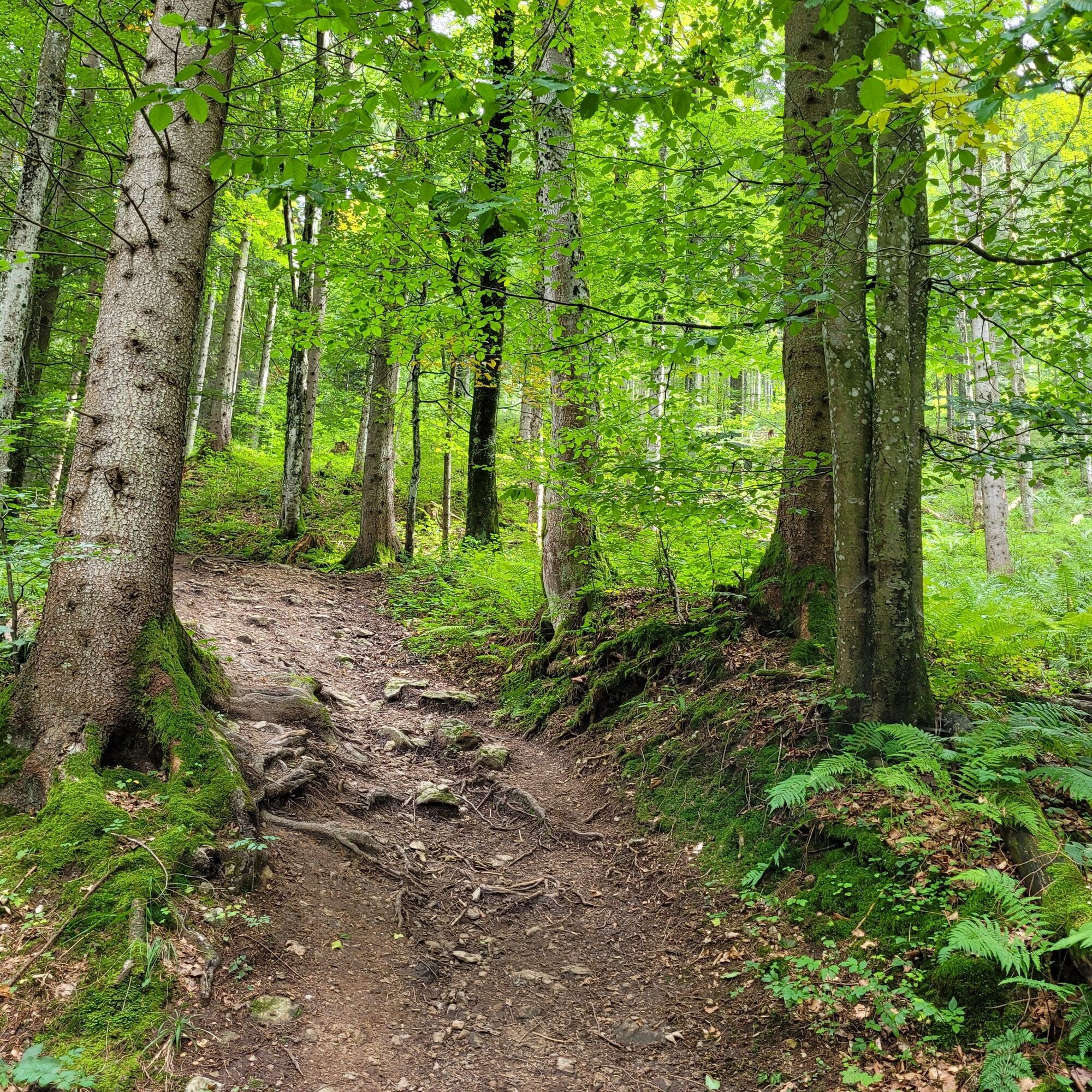
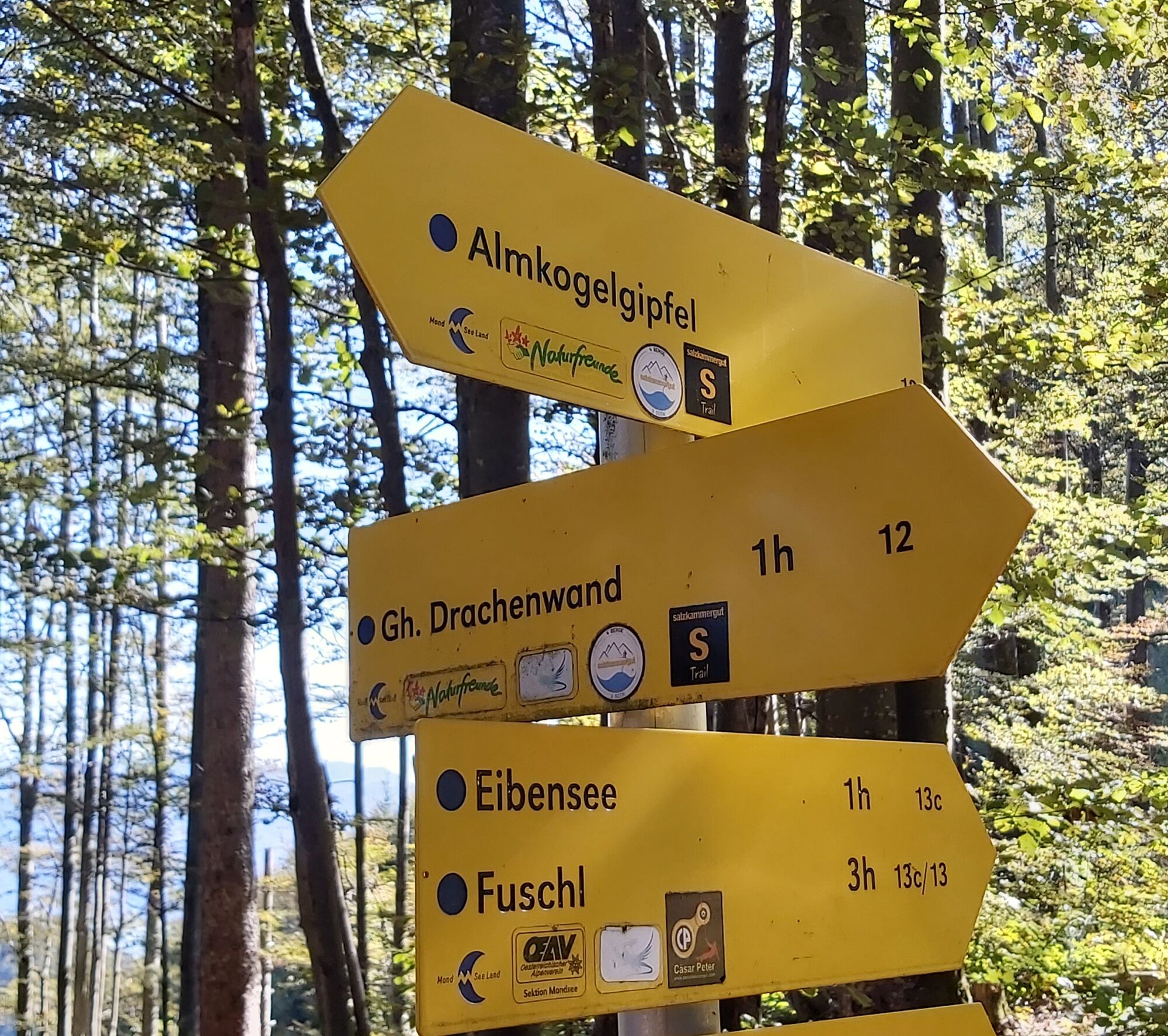
From the summit, back a short distance, then on path no. 12 down steep forest terrain to the Thekla Chapel, continue to the Drachenwand inn. Via path 34 you reach towards Mondsee. The last kilometers are long but almost without elevation gain and pleasant to walk, along little-used farm roads and designated walking and cycling paths through the village of Schwarzindien on Mondsee, then along the lake shore to Mondsee.
Possibilities to shorten the route:
- with the Schafbergbahn down to the valley
- by boat to St. Gilgen and by bus to Mondsee
- from St. Lorenz by bus to Mondsee
- in very bad weather with luggage transfer from the Schafbergbahn valley station directly to the hotel in Mondsee, a walk through the town is always worthwhile
Áno
Áno
Sturdy footwear and possibly hiking poles are recommended.
Not all food stops are open. Bring enough water and food before you start hiking. Do not expect any open huts!
Bring cash; especially at huts on the Schafberg, cards are not accepted!
Dogs must be on a leash.
Arrival via the A1 West motorway - exit Thalgau
Follow the state road toward Hof near Salzburg. At the first roundabout, take the second exit onto the Wolfgangsee Federal Road (B 158) and follow it to St. Gilgen.
By bus
St. Gilgen is very well accessible with public lines of the Salzburg transport association from Salzburg.
Salzburger Verkehrsverbund, line 150
By train
Information about train connections can be found at www.oebb.at or www.bahn.de
By plane
The Salzburg Airport W.A. Mozart is located very close to the city of Salzburg. Bus lines 2 or 27 take you to the main train station where you can change to bus no. 150.
The parking lot is included in the package booking.
For the route from St. Gilgen, the public parking lots in St. Gilgen are suitable.
Information about the 4 Mountains 3 Lakes package by email incoming@fuschlseeregion.com +43 6226 8384
Path no. 4 from Schafberg to Winkl shortens the distance to 18.5 km, you reach the 4 Mountains 3 Lakes route at Gut Aich.
Those using train and boat to Fürberg cover 14.5 km.
Webové kamery z prehliadky
-
St Gilgen Mozartplatz
-
Golfplatz Drachenwand
-
St. Wolfgang - Schafbergspitze
-
Mondsee Alpenseebad
-
St. Wolfgang - Schafbergbahn Talstation
-
Strobl - Dorfplatz
-
St. Gilgen - Wolfgangsee
-
St. Gilgen - Zwölferhorn
-
Mondsee - Ferienhof Gassner
-
Fuschl am See / Hotel Jakob
-
Bleckwandhütte
-
St. Wolfgang am Wolfgangsee - Hotel im Weissen Rössl
-
Seecamping Appesbach
-
Schafbergalm
-
Wolfgangsee - Lindenstrand
Získajte prehľad
Vždy naživo na mieste s viac ako 9 500 webovými kamerami. bergfex Ako používateľ Pro si teraz môžete pozrieť príslušné webové kamery pre mnohé zájazdy v aplikácii zájazdy z. Môžete si tak priamo prezerať aktuálne podmienky.
Obľúbené výlety v okolí
-
4,0
Bärenweg am Lidaun
svetloTuristika 9,05 km -
4,8
Fuschl: Ruine Wartenfels - Schober - Frauenkopf
strednáTuristika 7,62 km -
4,4
Fuschlseewanderung
svetloTuristika 11 km -
4,5
Weißenbach am Attersee - Schoberstein
strednáTuristika 3,31 km -
4,2
Pillstein Panorama Rundweg
svetloTuristika 3,40 km -
4,7
Pleasure hike over the Falkenstein
strednáTuristika 9,81 km -
3,7
Mondsee: Rund um den Mondsee
svetloCyklistika 26,3 km -
3,6
Unterach am Attersee: Hochplettspitz
Turistika 4,25 km -
4,6
The Plombergstein: Adventure and summit panorama
svetloTuristika 4,12 km -
4,9
Schwarzeneckalm-Bleckwand
svetloTuristika 5,94 km
Turistika a stopovanie


Nenechajte si ujsť ponuky a inšpiráciu na ďalšiu dovolenku
Vaša e-mailová adresa bol pridaný do poštového zoznamu.





