







From Abtenau to Voglau

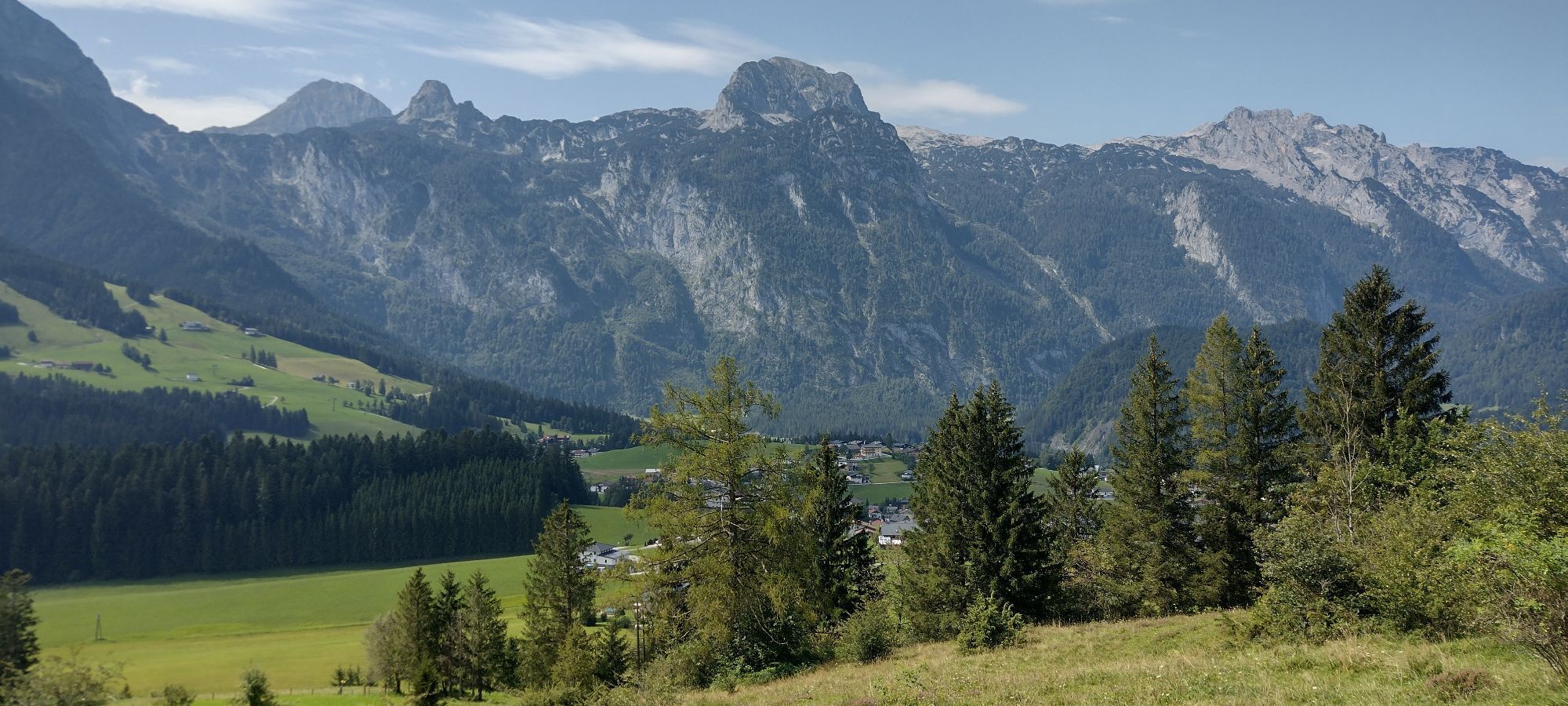
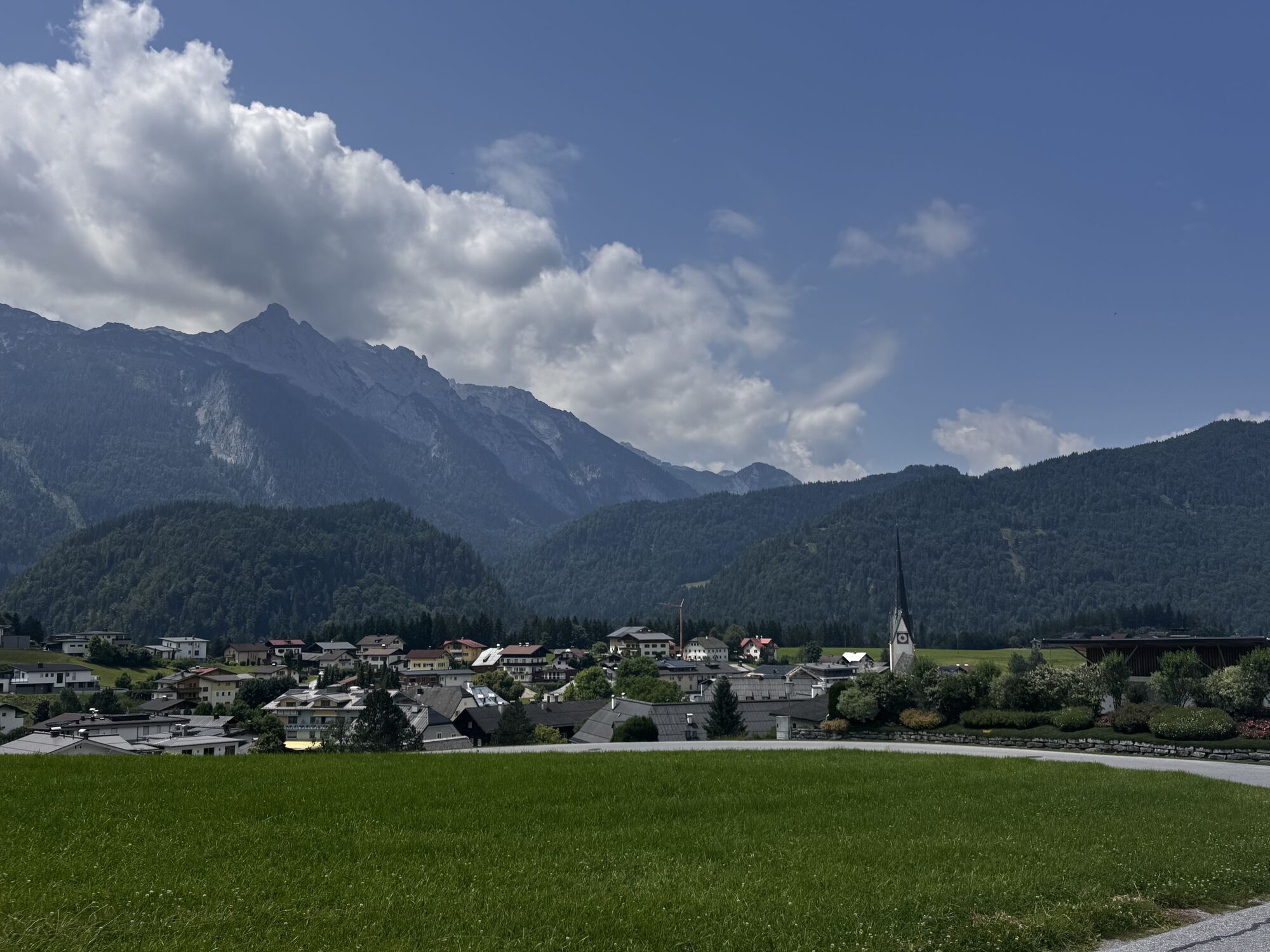
Situated between the Osterhorngruppe and the Tennengebirge, the gently rolling valley floor around the town of Abtenau offers a wide range of rewarding hiking opportunities. From the child-friendly, two-kilometre...
Situated between the Osterhorngruppe and the Tennengebirge, the gently rolling valley floor around the town of Abtenau offers a wide range of rewarding hiking opportunities. From the child-friendly, two-kilometre Zwergerlwald loop, to a 42-kilometre marathon hike between Radochsberg and Voglau, everything is possible according to your fitness and preferences. The extensive network of trails is also very interesting for bus users, who do not need to return to the starting point but can simply use one of the stops served mostly at half-hourly intervals by bus lines 470 or 471 for the return journey. Just like this hiking suggestion, which leads over the highest point Scheffenbichl (910 m) along the Lammer to Voglau.

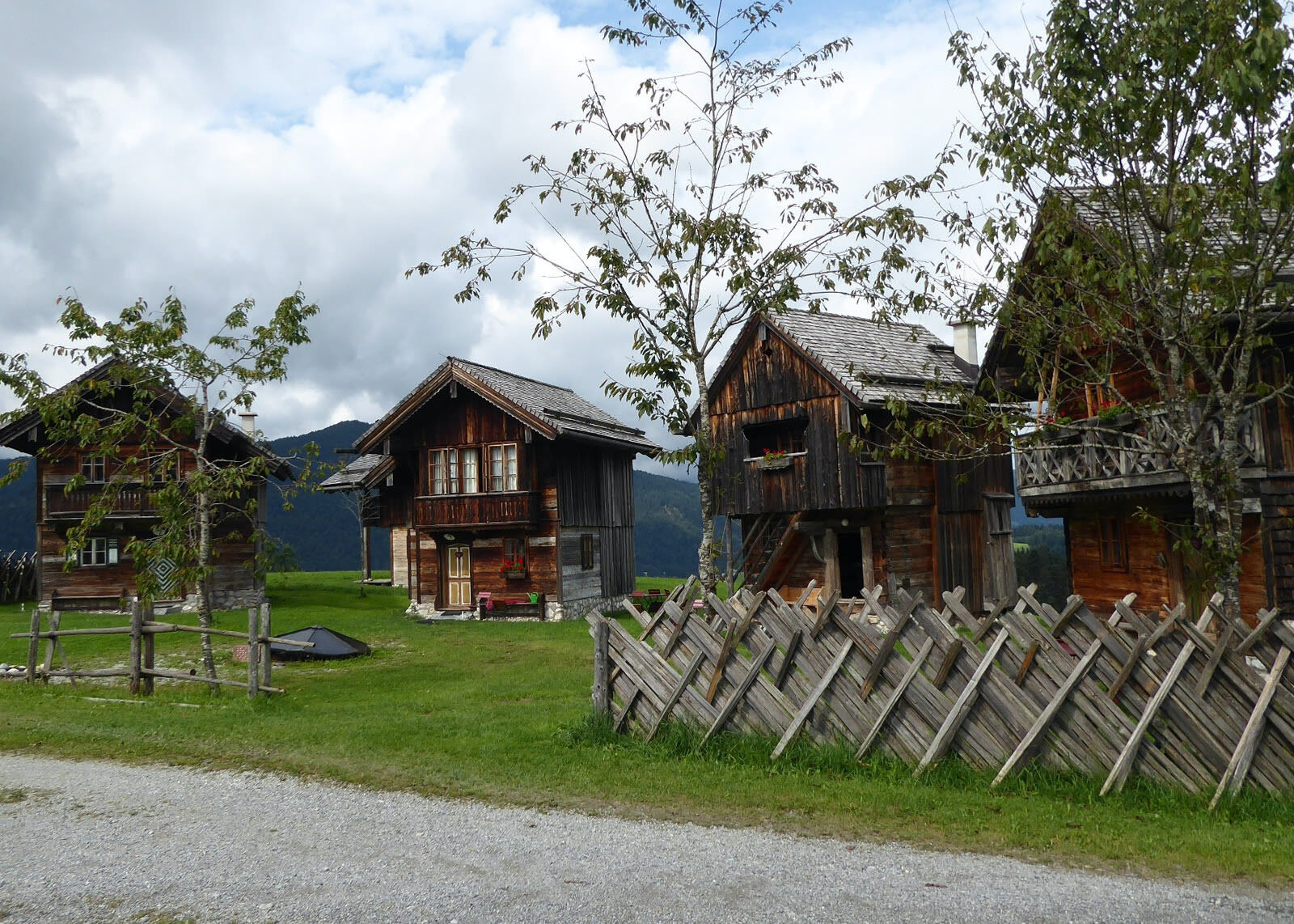
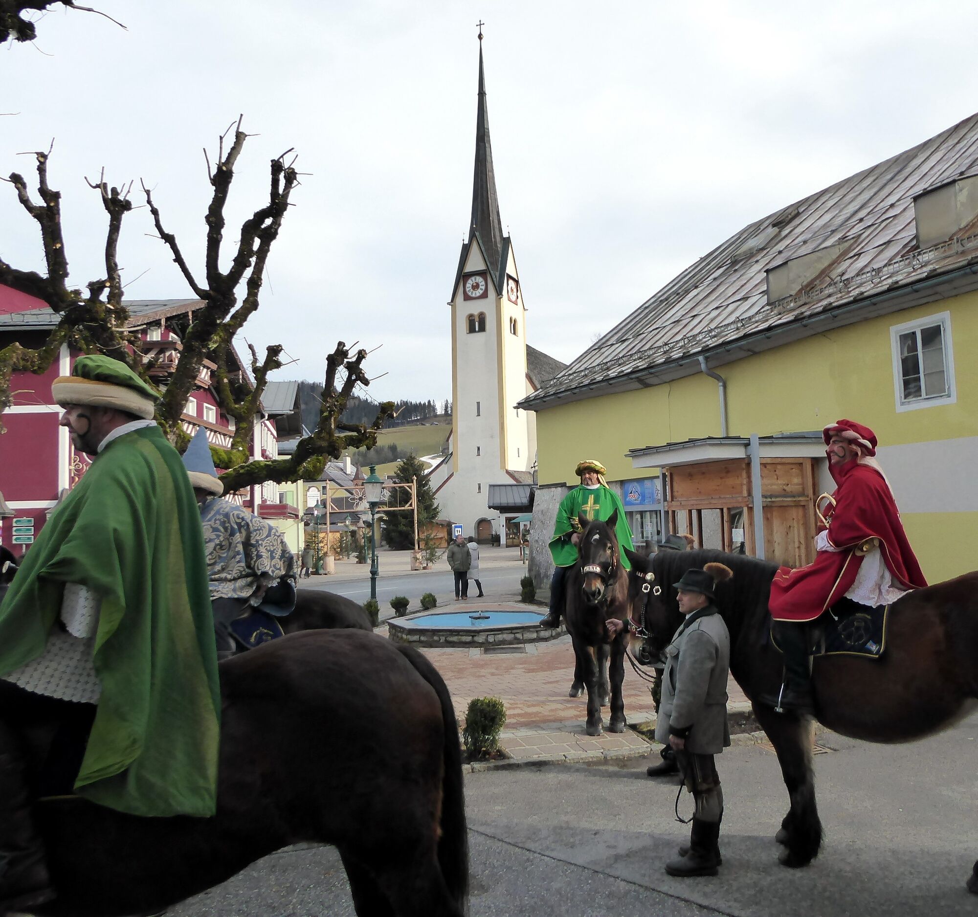
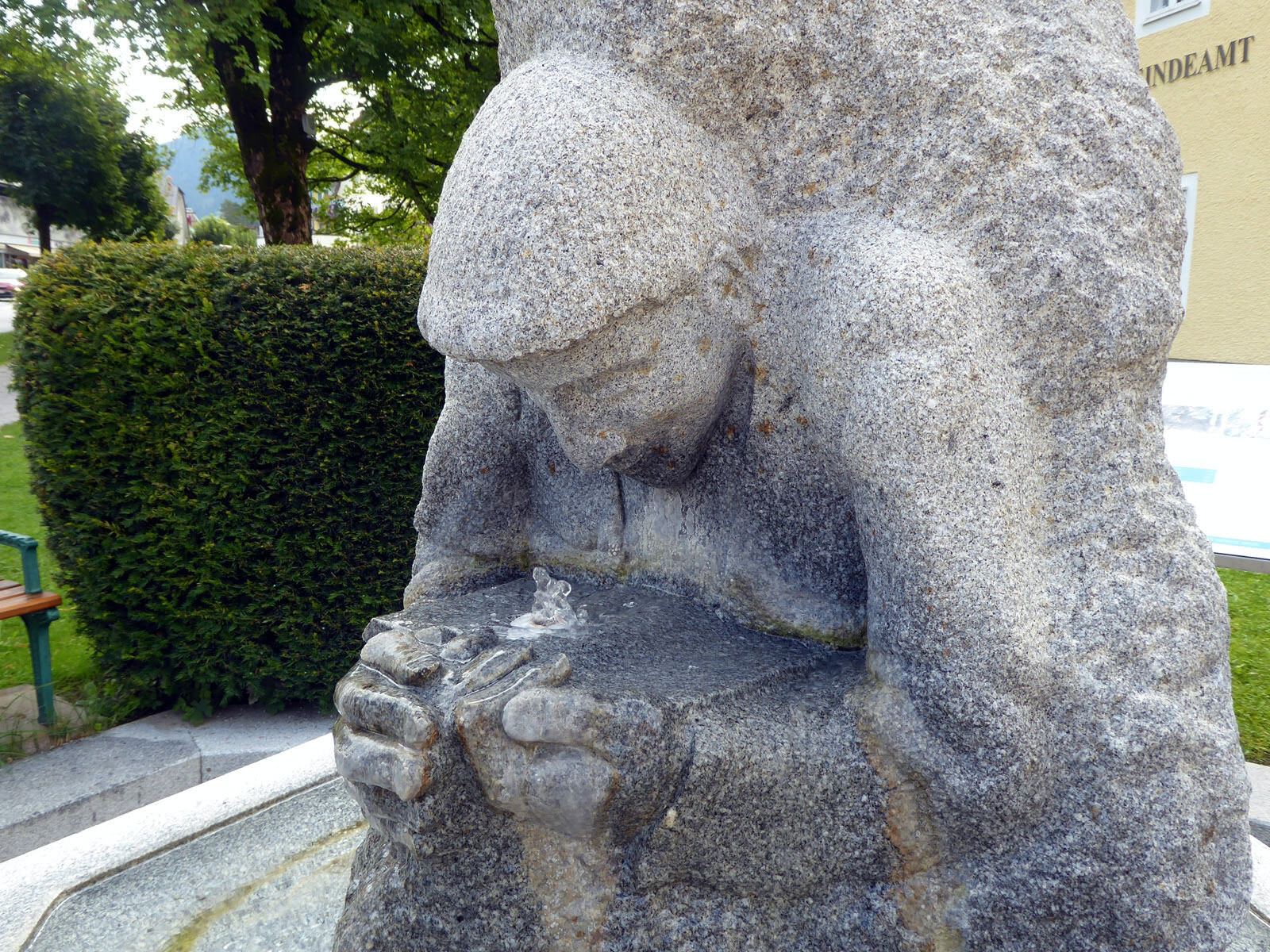
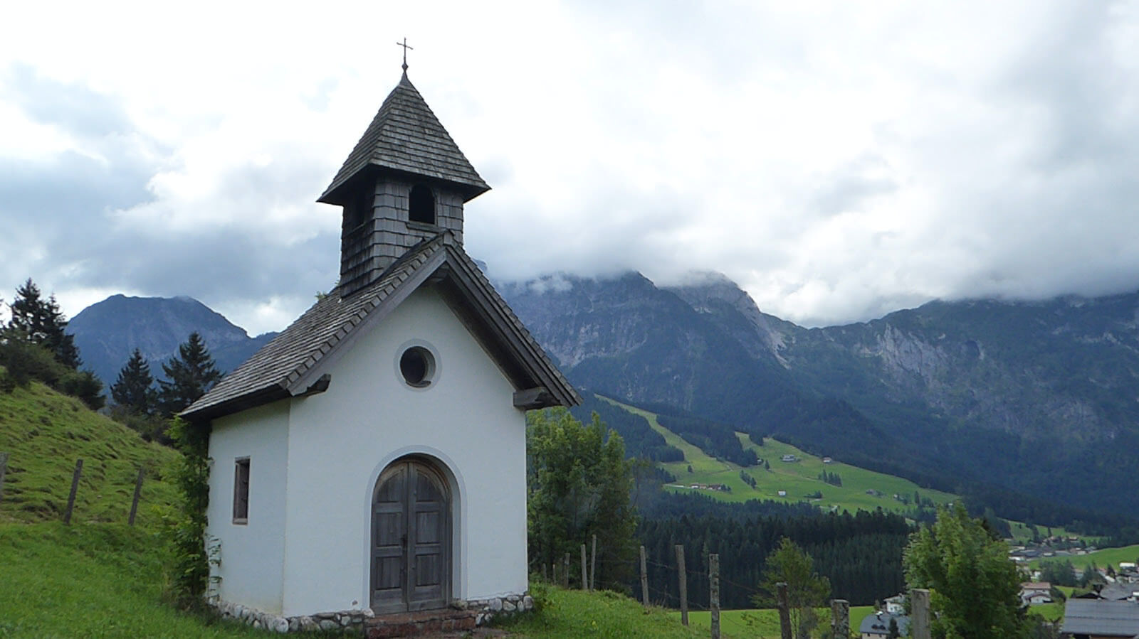
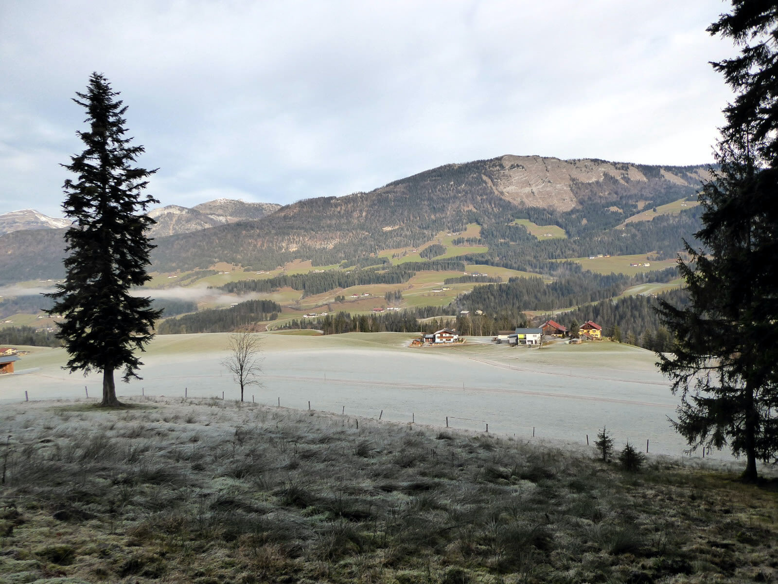
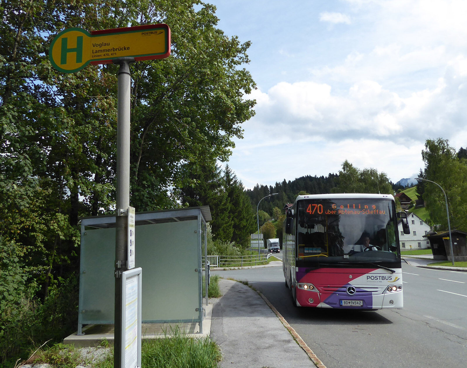

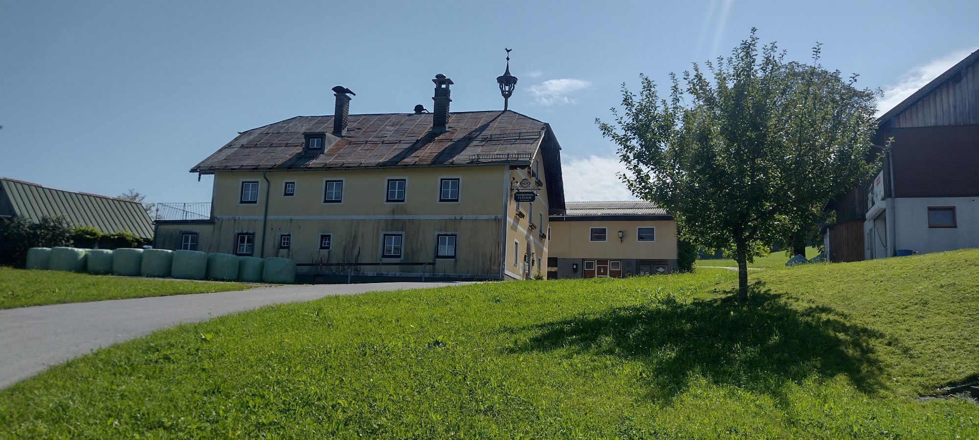
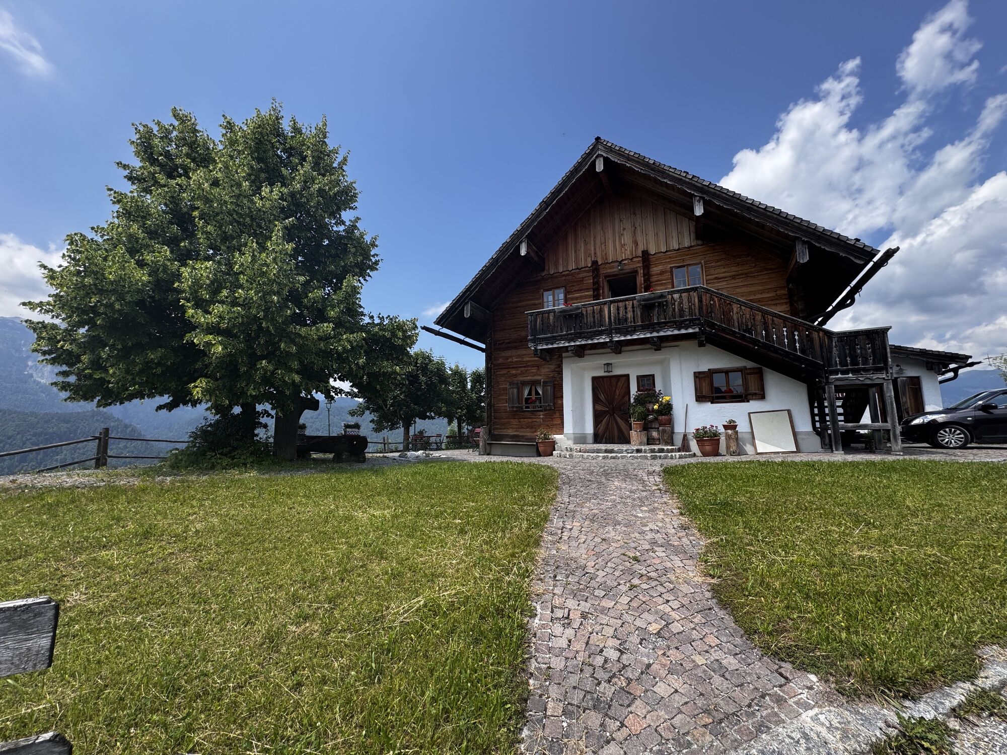
The starting point is the Abtenau town centre bus stop. If you wish, you can boost yourself with a free sip of Abtenau healing water at the nearby Pflegerbrunnen in front of the town hall. Our route, however, leads in the opposite direction along the main road (B 166) for another 100 m out of town and then follows the access road on the left for 1.5 km to the beautifully situated guesthouse "Sonnleit`n". The path to the panoramic Scheffenbichl branches off shortly before the chapel to the right through a fence opening and runs along the ridge back to the west, returning below the intersecting main path 171. First through forest, then over meadows, the route leads to the junction „Voglau via Rigaus“ (path 160) to the right. The downhill access road ends at the last farmhouse, then it continues on a lovely meadow and forest path to the Lammer. The natural path 160 always remains on the left bank and accompanies the Lammer, only a short section on asphalt, downstream 3.5 km to Voglau.
Áno
By train or bus to Golling-Abtenau station and by bus 470 or 471 to Abtenau town centre. Return trip from Voglau Lammerbrücke with bus 470 or 471 to Golling-Abtenau station. Frequency: mostly very customer-friendly half-hourly service between Golling and Abtenau!
Timetable information and download: Online at www.salzburg-verkehr.at or on your smartphone via the free Salzburg Verkehr app for Android and iOS.
Mag. Christian Heugl
5400 Hallein
christian.heugl@gmail.com
Photo credit: Christian Heugl
Summer tobogganing on the Karkogelbahn in Abtenau. https://karkogel.abtenau-info.at/sommer/sommerrodelbahn
Získajte prehľad
Vždy naživo na mieste s viac ako 9 500 webovými kamerami. bergfex Ako používateľ Pro si teraz môžete pozrieť príslušné webové kamery pre mnohé zájazdy v aplikácii zájazdy z. Môžete si tak priamo prezerať aktuálne podmienky.
Obľúbené výlety v okolí
-
4,7
Schwarzer Berg / Golling
strednáTuristika 2,54 km -
4,9
Werfenweng Mountainbikerunde Söldenhütte
strednáMountainbike 18,8 km -
4,8
Tour around the Gosaukamm
strednáTuristika 20,9 km -
4,7
Tour around the Lake Gosau
svetloTuristika 4,43 km -
4,9
From Rußbach over the Gamsfeld
ťažkéTuristika 11,5 km -
4,9
Schwarzeneckalm-Bleckwand
svetloTuristika 5,94 km -
4,8
Gennerhorn über Lämmerbach
strednáTuristika 10,2 km -
4,7
Mühlenweg und Winnerfall Scheffau am Tennengebirge
strednáTuristika 4,79 km -
4,6
Donnerkogel vom Gosausee mit Intersport Klettersteig C/D und Himmelsleiter
ťažkéVia ferrata 7,70 km -
4,2
Abtenau: Postalm circular route 3 - Wiesleralm and Postalm hut
strednáTuristika 9,09 km
Turistika a stopovanie


Nenechajte si ujsť ponuky a inšpiráciu na ďalšiu dovolenku
Vaša e-mailová adresa bol pridaný do poštového zoznamu.





