


Guggenthal Koppl - Nockstein - Gaisberg - City of Salzburg
Fotografie našich používateľov
-
 © Enkidu55Vytvorené dňa 20.05.2026
 -
 © Nicki LehnerVytvorené dňa 18.05.2026
 -
 © Nicki LehnerVytvorené dňa 18.05.2026
 -
 © Nicki LehnerVytvorené dňa 18.05.2026
 -

 © Christine ArnoldVytvorené dňa 13.05.2026
 -
 © Meinrad FögerVytvorené dňa 29.04.2026
 -
 © Sarah PiehringerVytvorené dňa 16.04.2026
 -
 © SanjaVytvorené dňa 12.04.2026
 -
 © SanjaVytvorené dňa 12.04.2026
 -
 © SanjaVytvorené dňa 12.04.2026
 -
 © SanjaVytvorené dňa 12.04.2026
 -
 © Meinrad FögerVytvorené dňa 09.04.2026
 -
 © DorgerryVytvorené dňa 10.03.2026
 -
 © Meinrad FögerVytvorené dňa 06.03.2026
 -
 © DorgerryVytvorené dňa 02.03.2026
 -
 © DorgerryVytvorené dňa 02.03.2026
 -
 © Meinrad FögerVytvorené dňa 02.03.2026
 -
 © Meinrad FögerVytvorené dňa 26.02.2026
 -
 © Meinrad FögerVytvorené dňa 05.01.2026
 -
 © Beate1980Vytvorené dňa 28.12.2025
 -
 © Beate1980Vytvorené dňa 28.12.2025
 -
 © Beate1980Vytvorené dňa 28.12.2025
 -
 © Beate1980Vytvorené dňa 28.12.2025
 -
 © Beate1980Vytvorené dňa 28.12.2025
 -
 © Meinrad FögerVytvorené dňa 15.12.2025
 -
 © Meinrad FögerVytvorené dňa 21.11.2025
 -

 © Heinz SperlVytvorené dňa 01.11.2025
 -
 © Heinz SperlVytvorené dňa 01.11.2025
 -
 © UCHVytvorené dňa 12.10.2025
 -
 © UCHVytvorené dňa 12.10.2025
 -
 © UCHVytvorené dňa 12.10.2025
 -
 © Beate1980Vytvorené dňa 05.10.2025
 -
 © PlaiknerVytvorené dňa 26.08.2025
 -
 © KurtVytvorené dňa 25.08.2025
 -
 © KurtVytvorené dňa 25.08.2025
 -
 © KurtVytvorené dňa 25.08.2025
 -

 © Gerhard BuchböckVytvorené dňa 01.05.2025
 -

 © RenateVytvorené dňa 22.03.2025
 -
 © Bettina ConneusVytvorené dňa 19.03.2025
 -
 © Bettina ConneusVytvorené dňa 19.03.2025
 -
 © Bettina ConneusVytvorené dňa 19.03.2025
 -
 © Eveline ZechaVytvorené dňa 20.01.2025
 -
 © Eveline ZechaVytvorené dňa 20.01.2025
 -
 © Eveline ZechaVytvorené dňa 20.01.2025
 -
 © Eveline ZechaVytvorené dňa 20.01.2025
 -
 © Heinz SperlVytvorené dňa 09.11.2024
 -
 © Heinz SperlVytvorené dňa 09.11.2024
 -

 © Nina WolfVytvorené dňa 01.11.2024
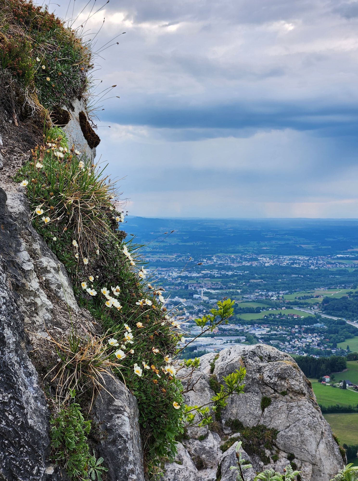

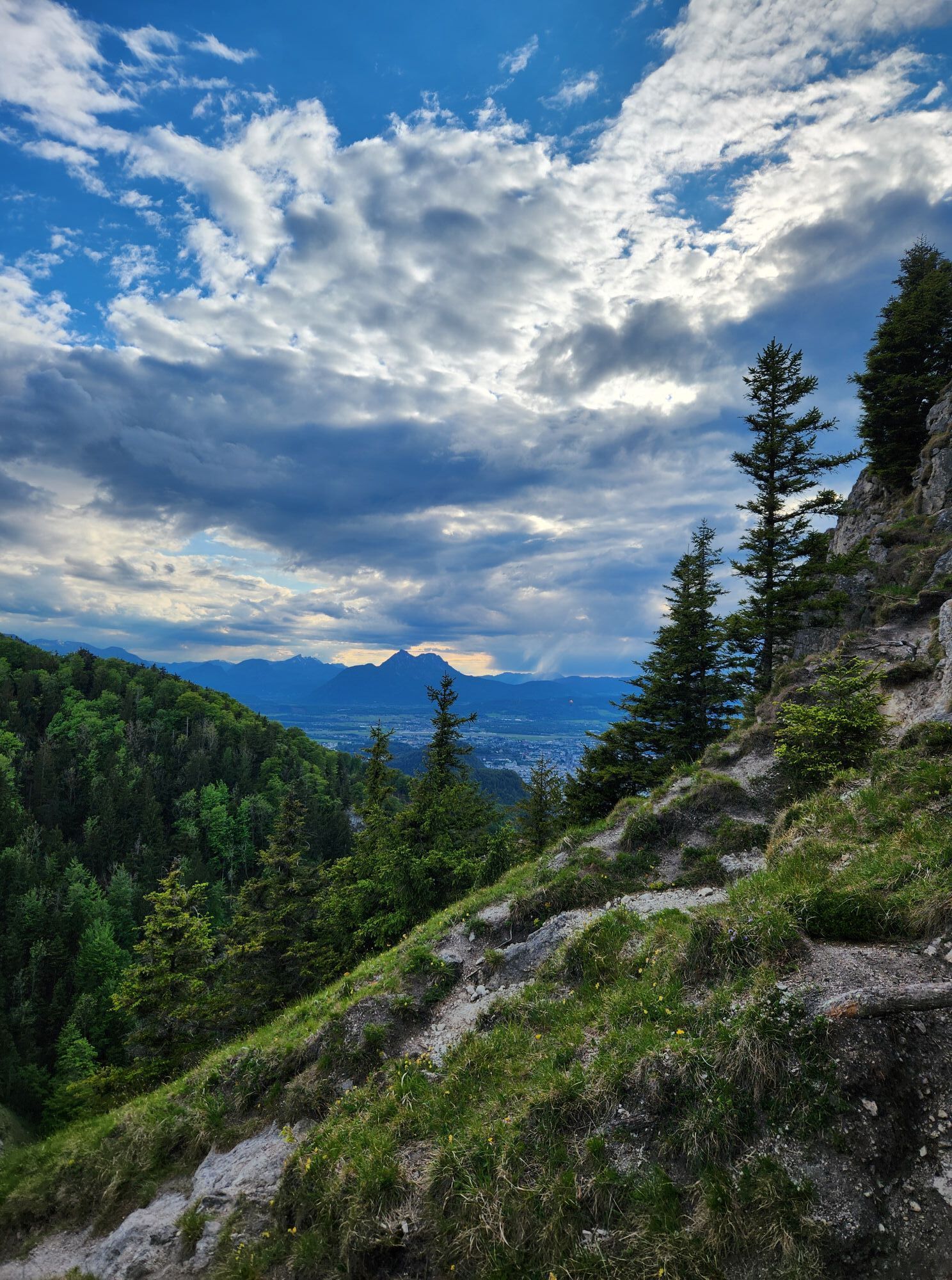


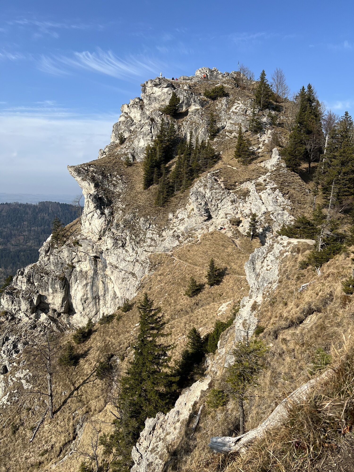
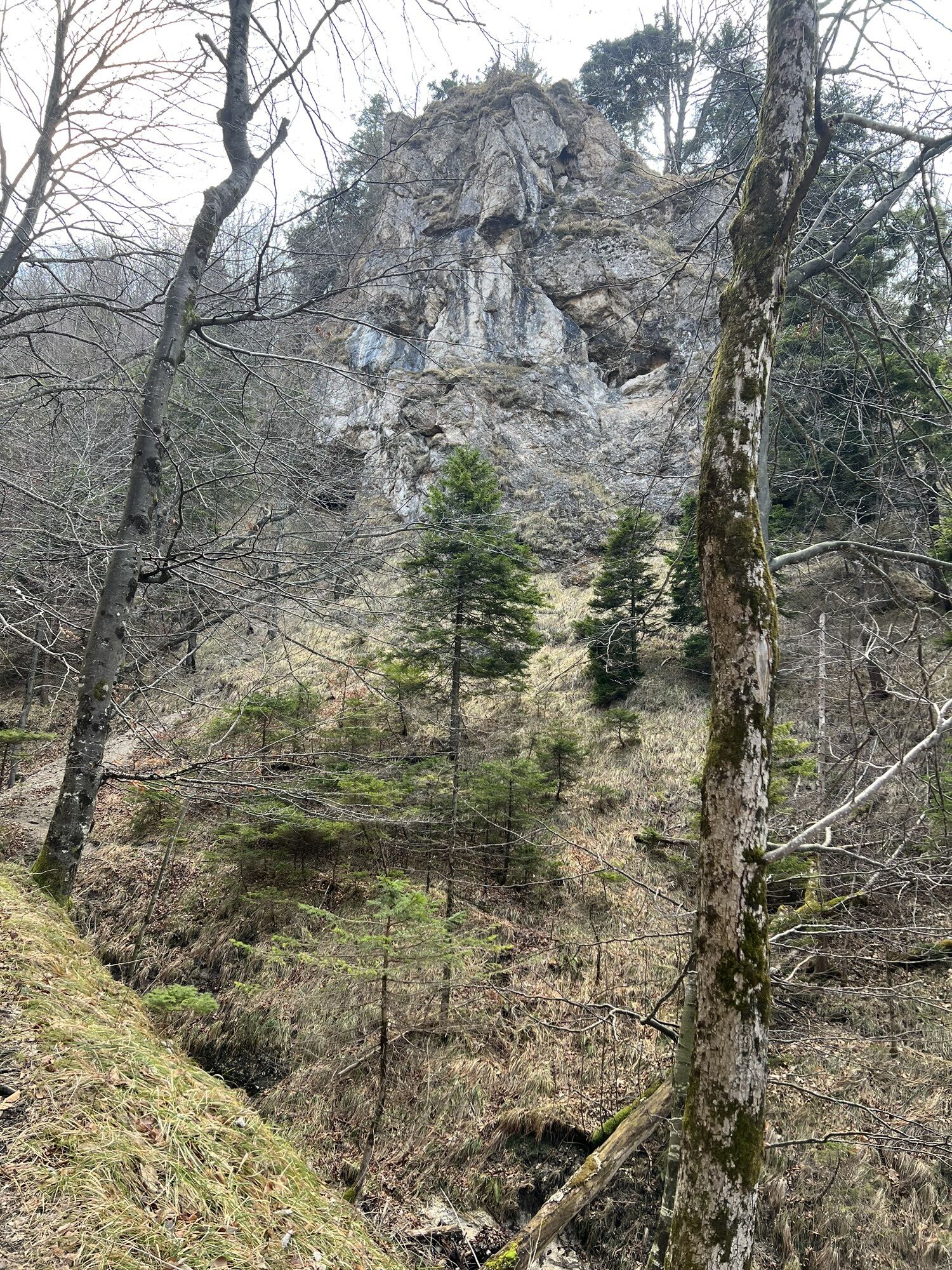


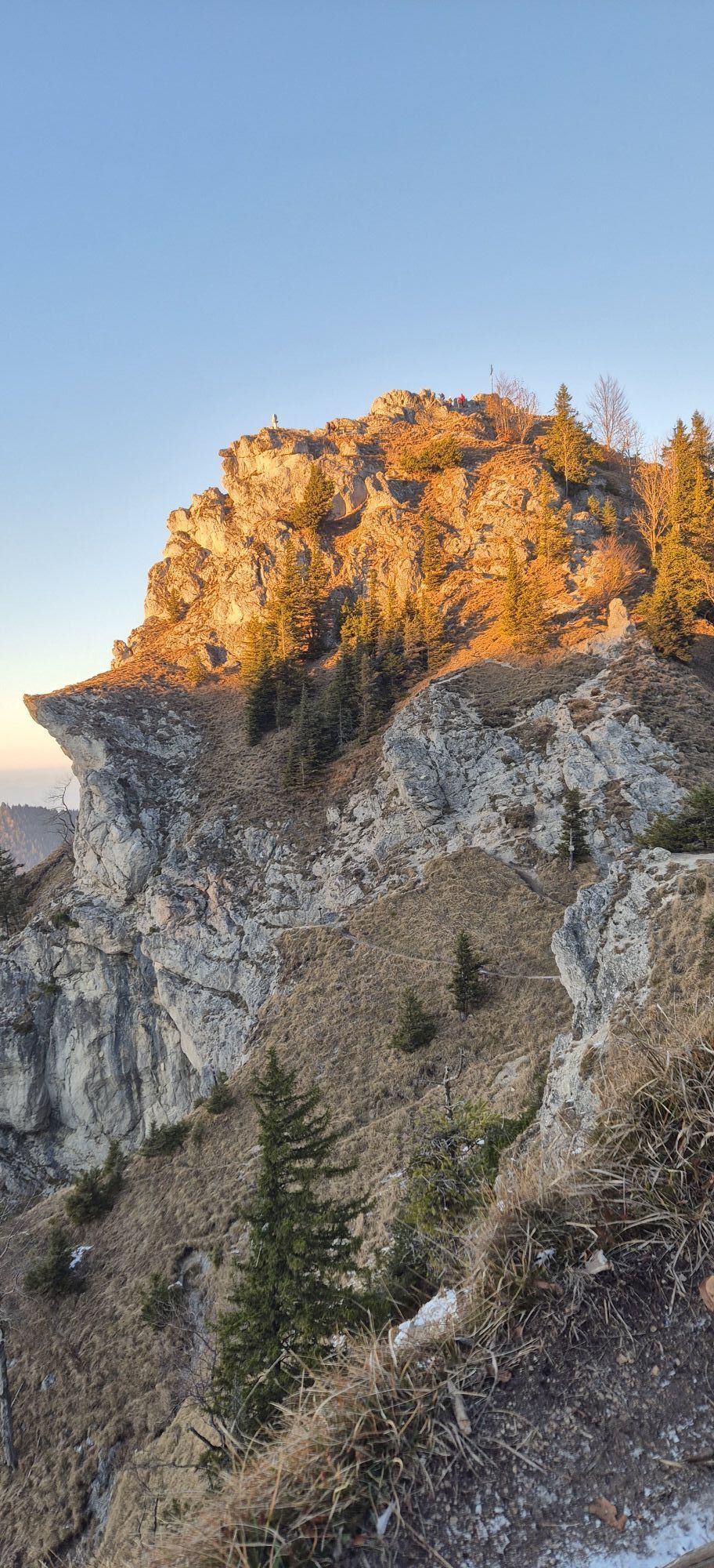
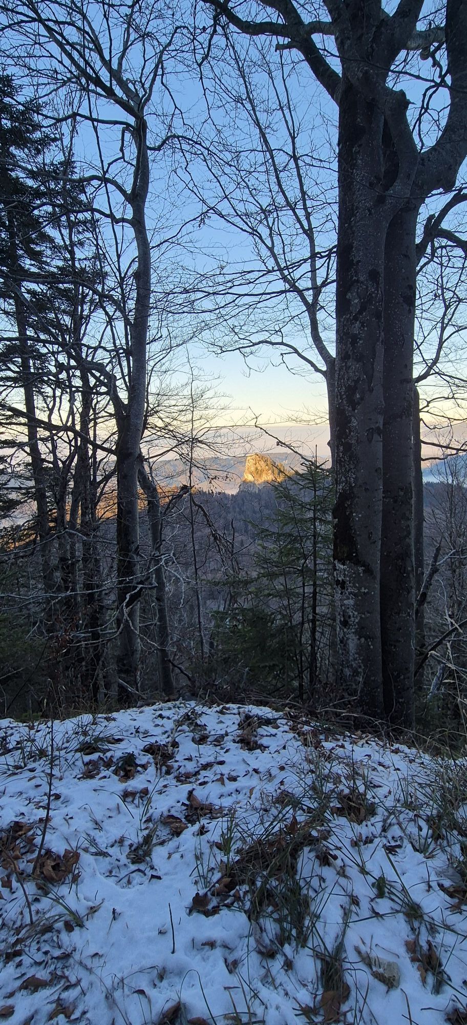


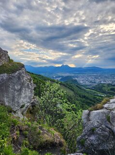
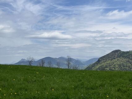
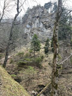
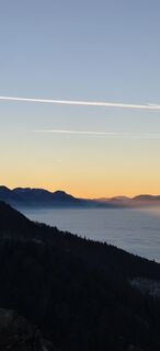
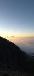
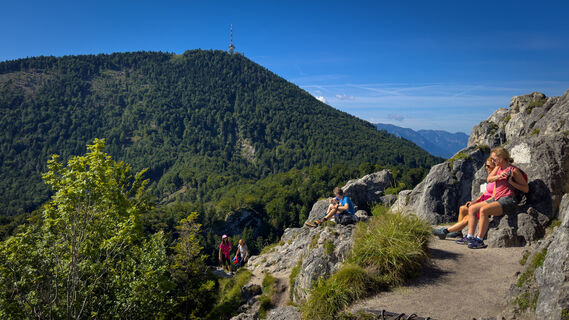
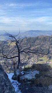
The two local mountains of Salzburg can be wonderfully crossed together with bus arrival. Over the Nockstein Gorge, you reach the distinctive rock tooth. Then through the forest uphill via the circular...
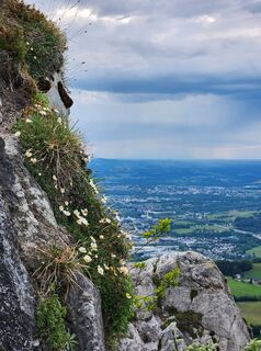
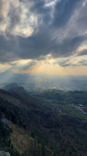
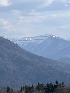
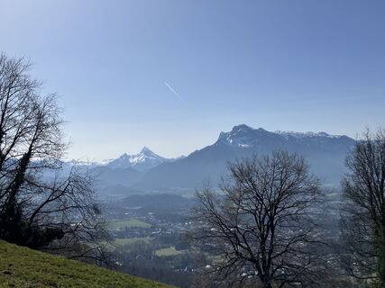
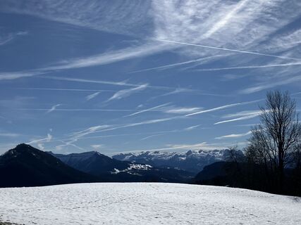
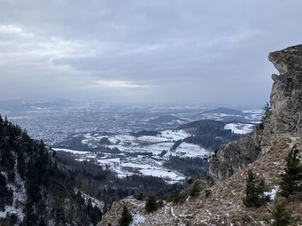
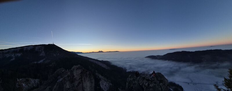
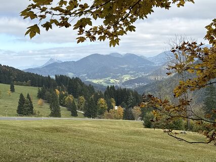
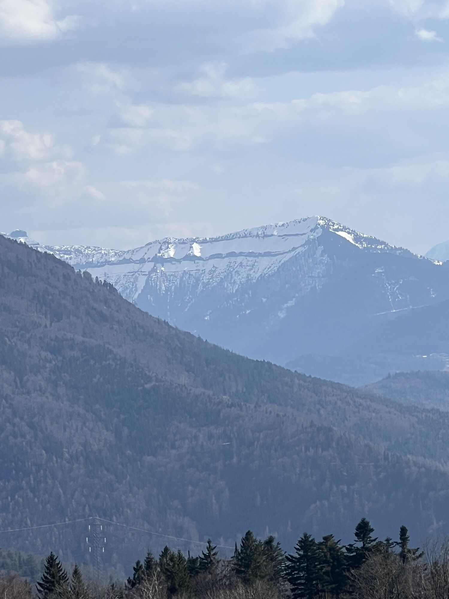
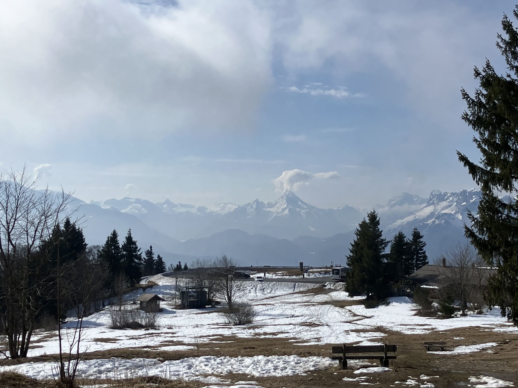
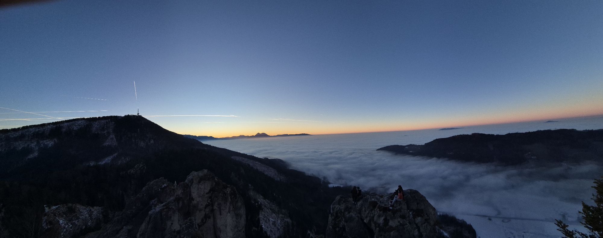
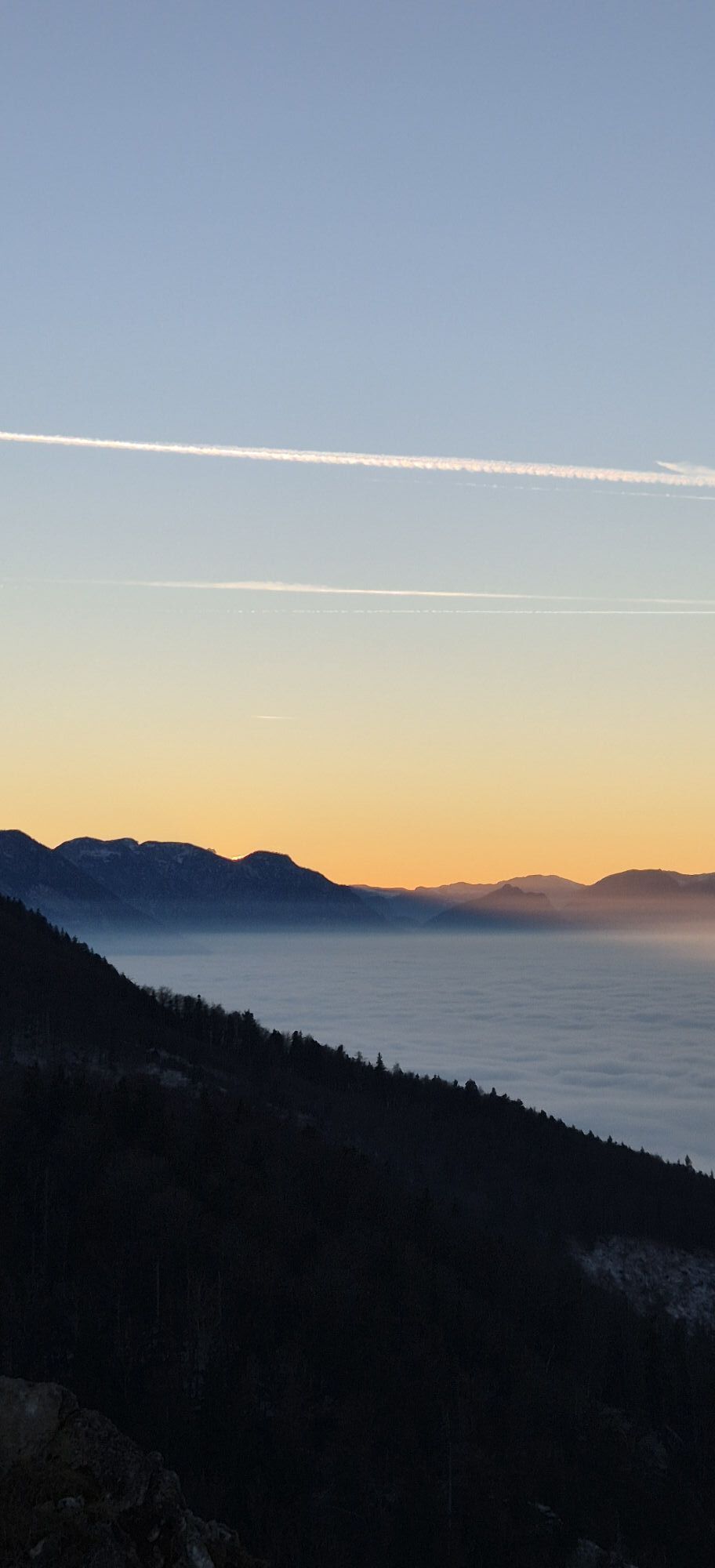
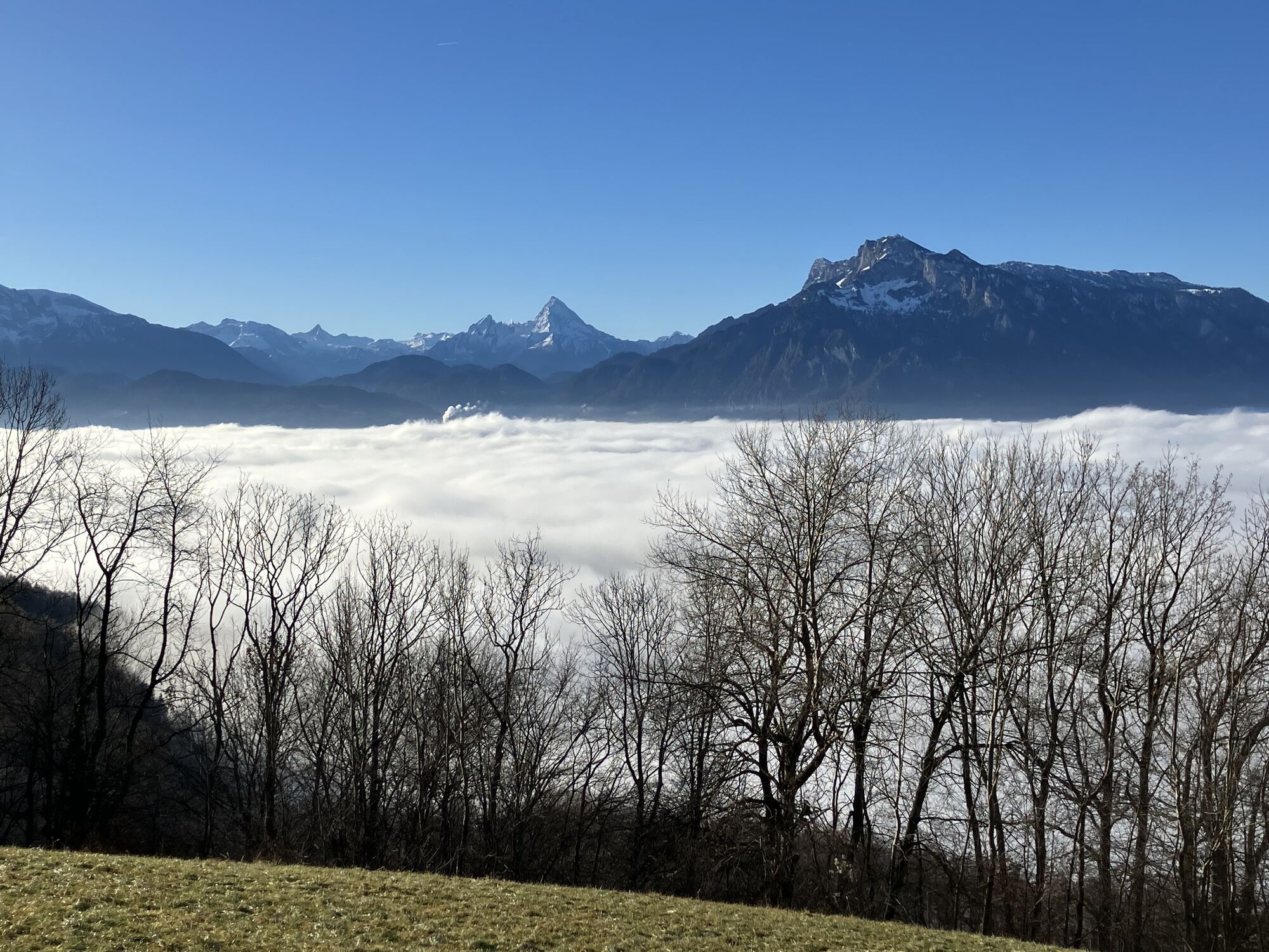
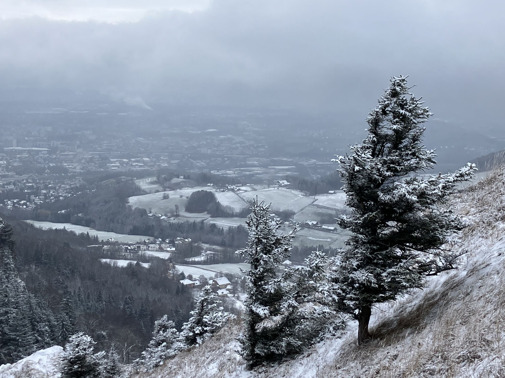
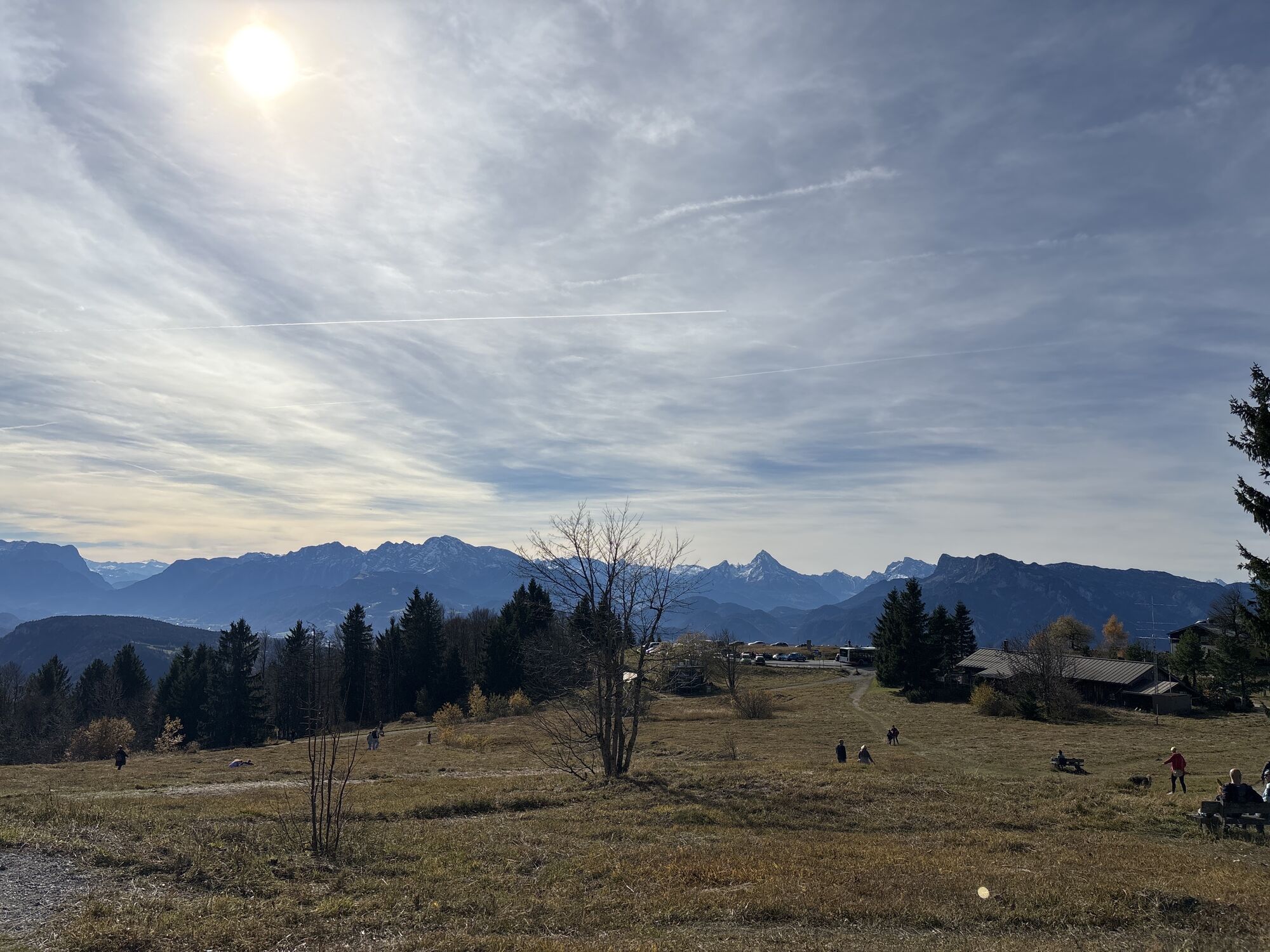
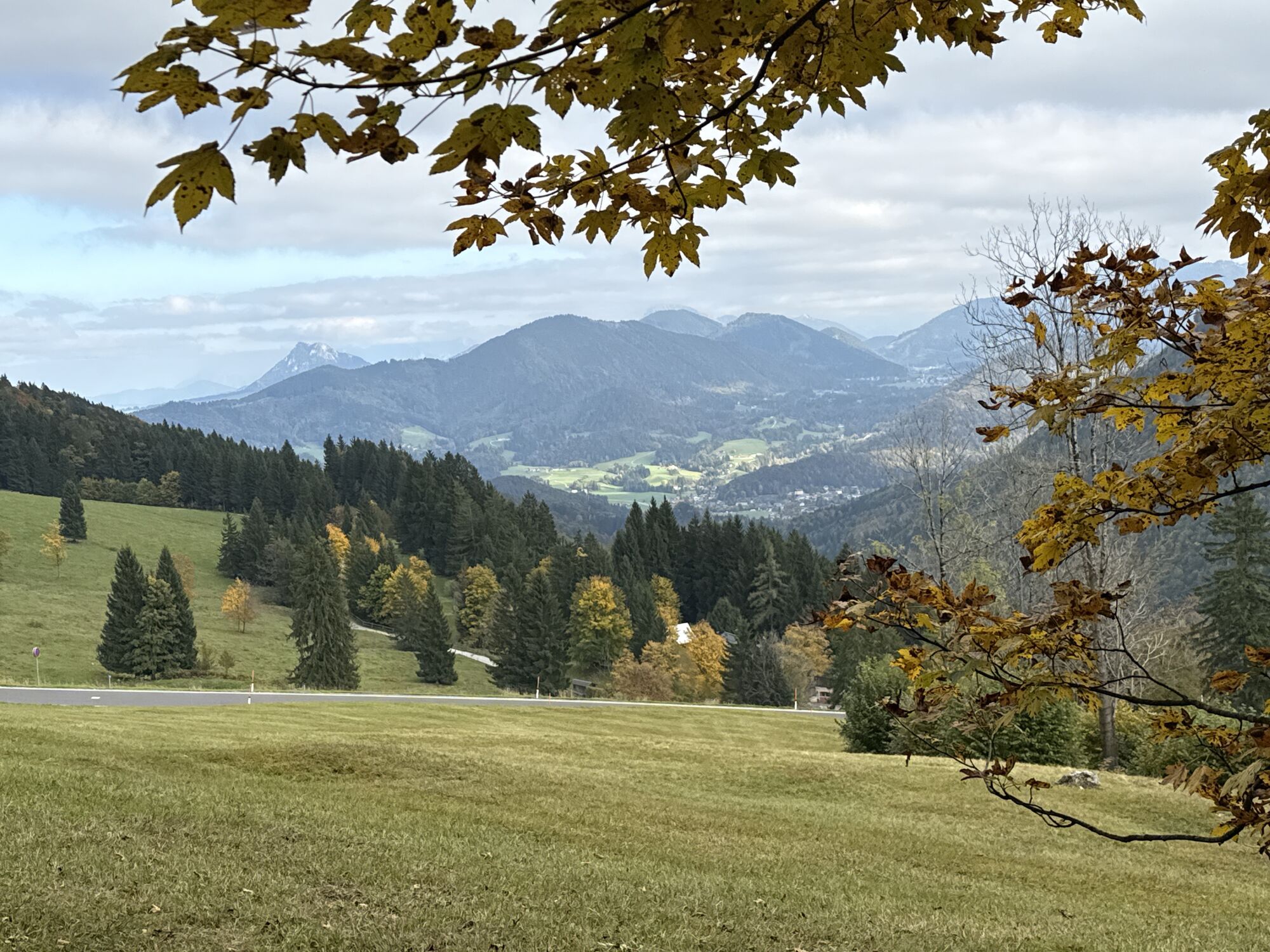
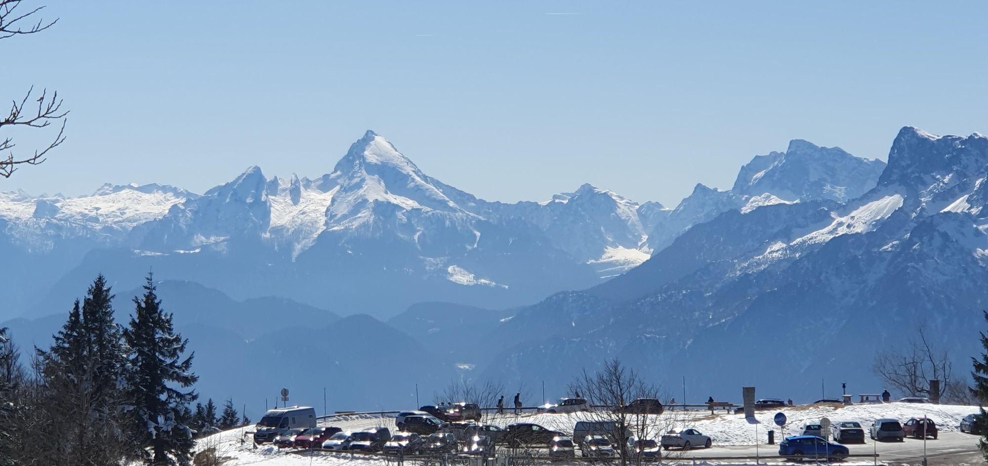
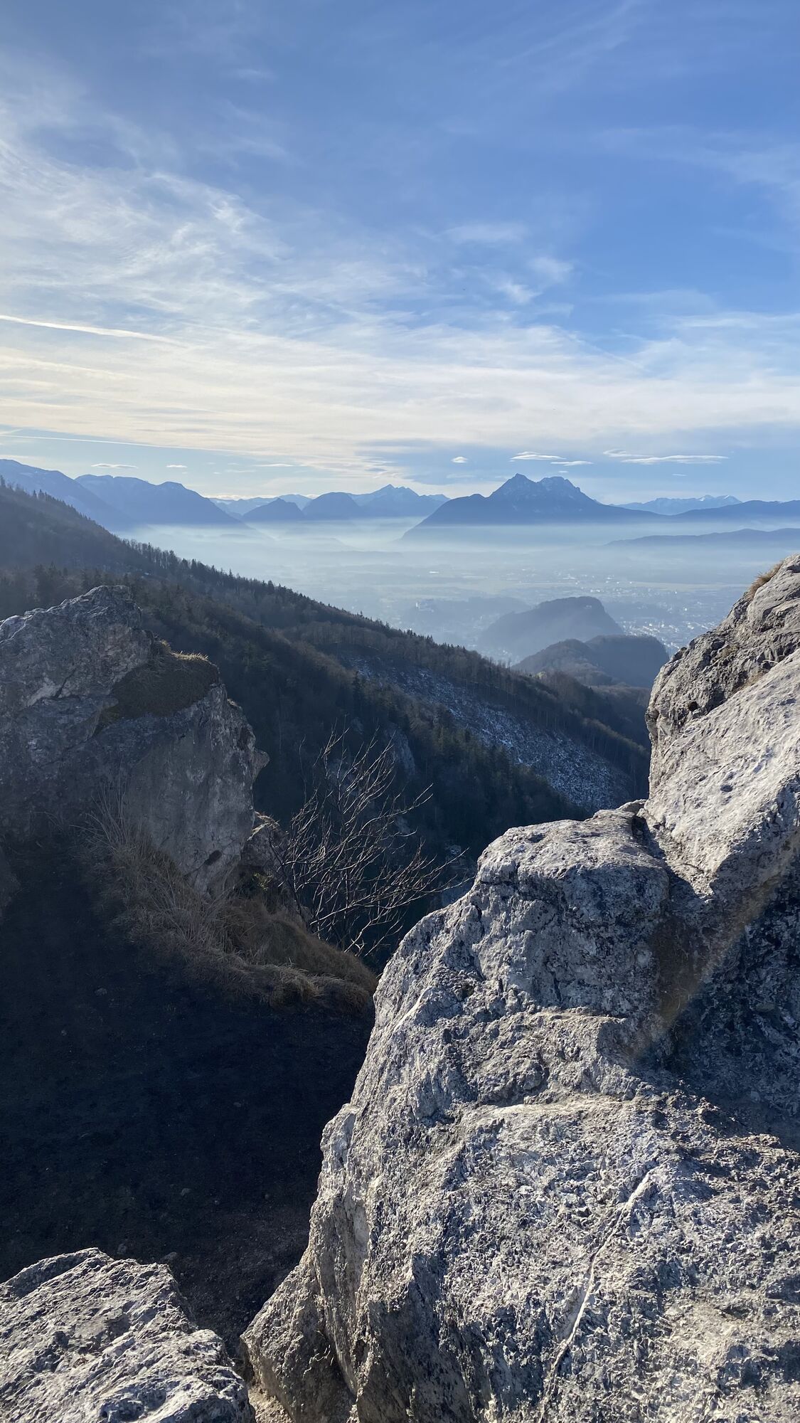
The two local mountains of Salzburg can be wonderfully crossed together with bus arrival. Over the Nockstein Gorge, you reach the distinctive rock tooth. Then through the forest uphill via the circular hiking trail to the Gaisberg summit. In inversion weather conditions, you stand above the clouds on the Gaisberg. On the descent via the route of the cog railway, discontinued in 1928, public transport enthusiasts may get a little nostalgic. Or to spare the knees, simply take the Gaisberg bus downhill.

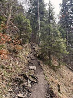
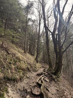
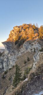
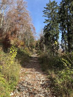
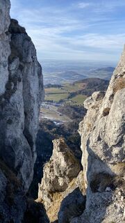
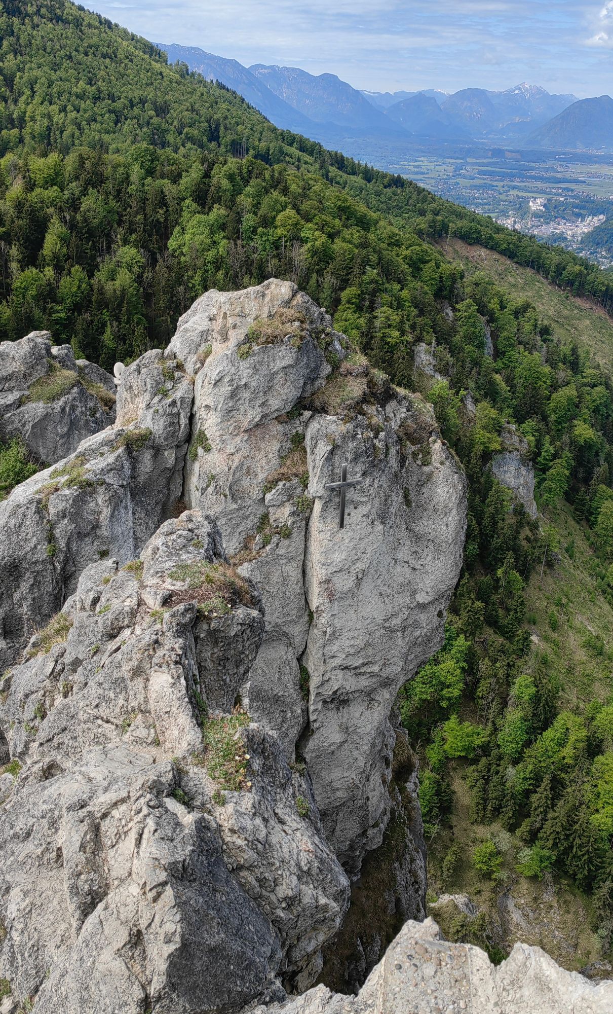
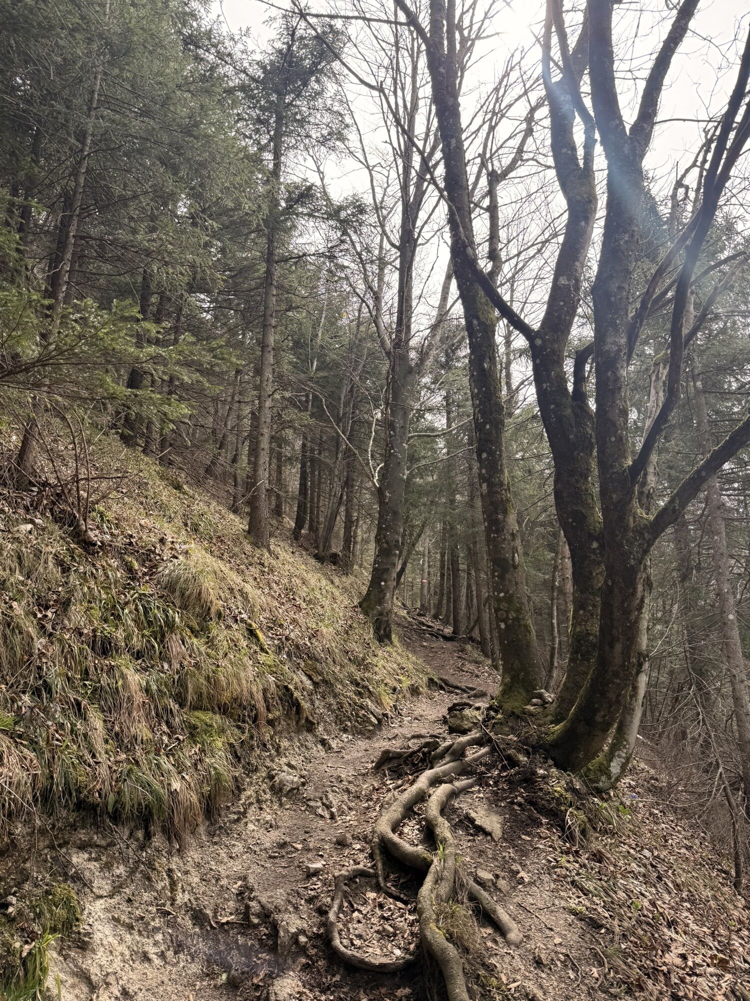
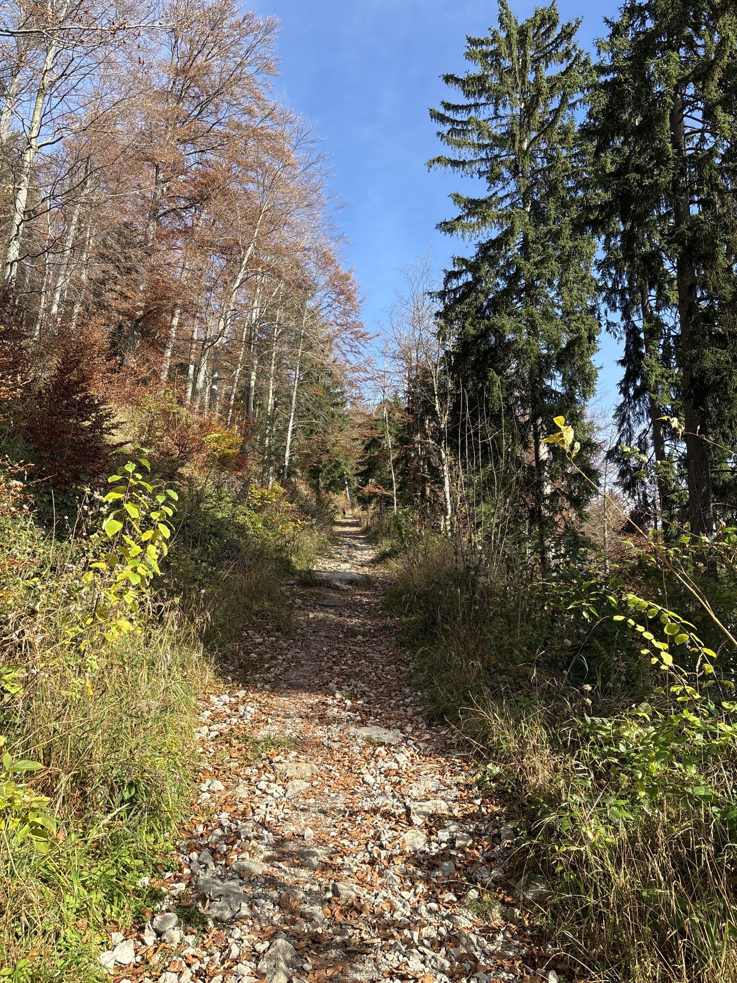
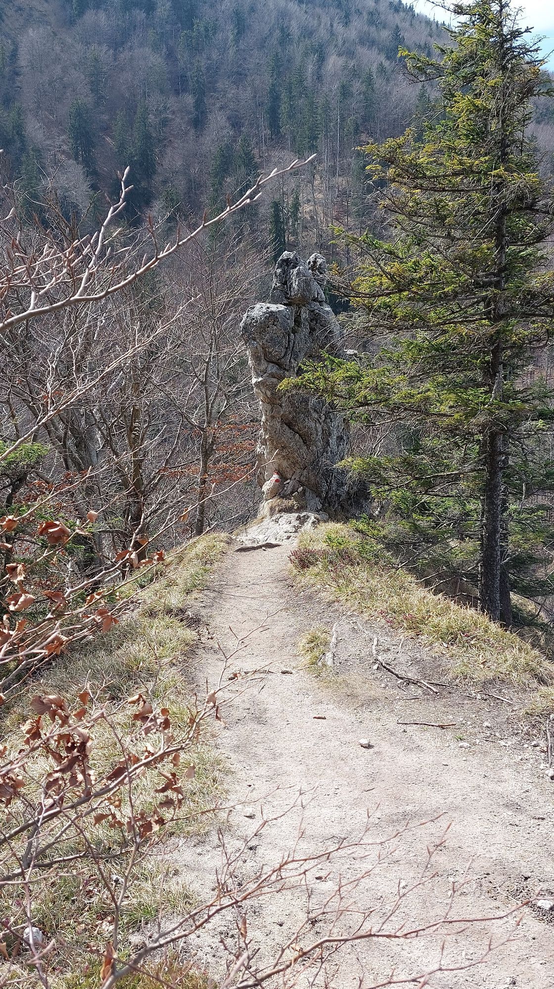
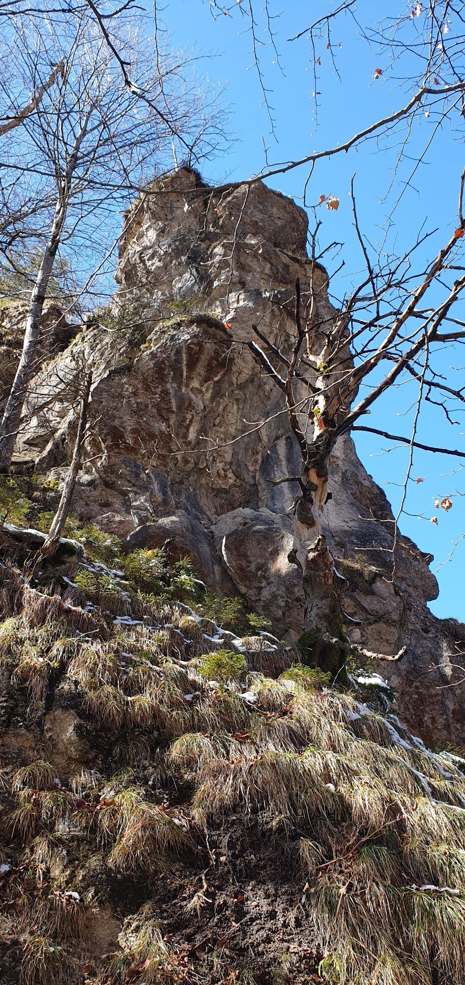
Just behind the Guggenthal bus stop, turn left into Georg-Weickl-Weg. At the forest kindergarten, the forest road to Nockstein branches off to the left, which can be shortened via two forest paths. The forest trail over the Nockstein Gorge becomes narrower and steadily leads uphill, well marked. At a fork, take the left path over the wooden stairs. Passing a viewpoint bench, you reach the saddle between Nockstein and Gaisberg.
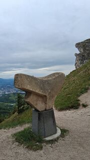
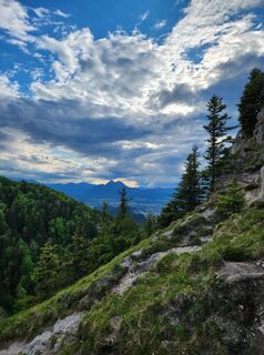
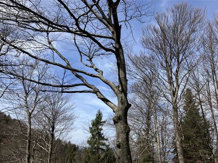
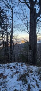
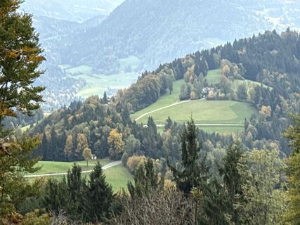
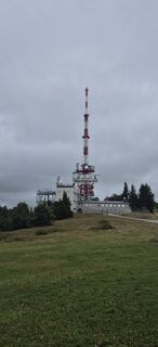
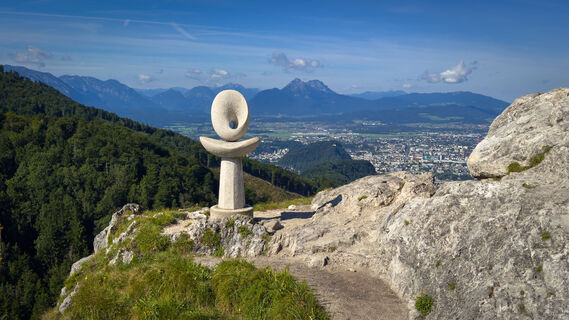
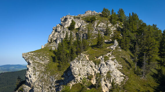
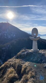
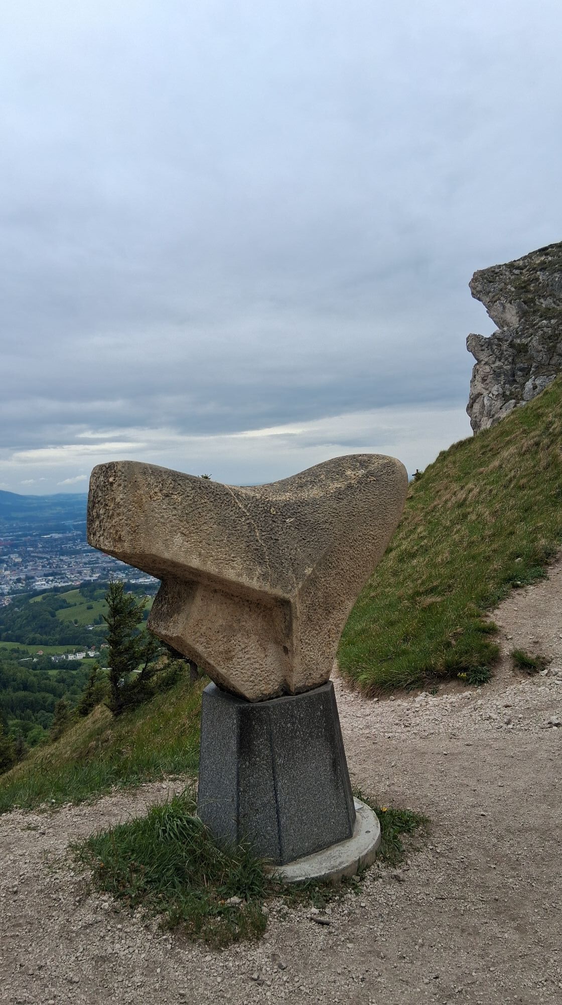
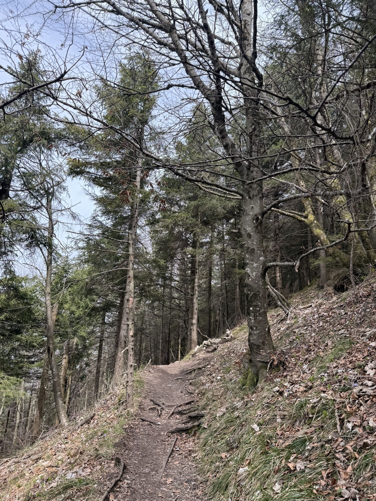
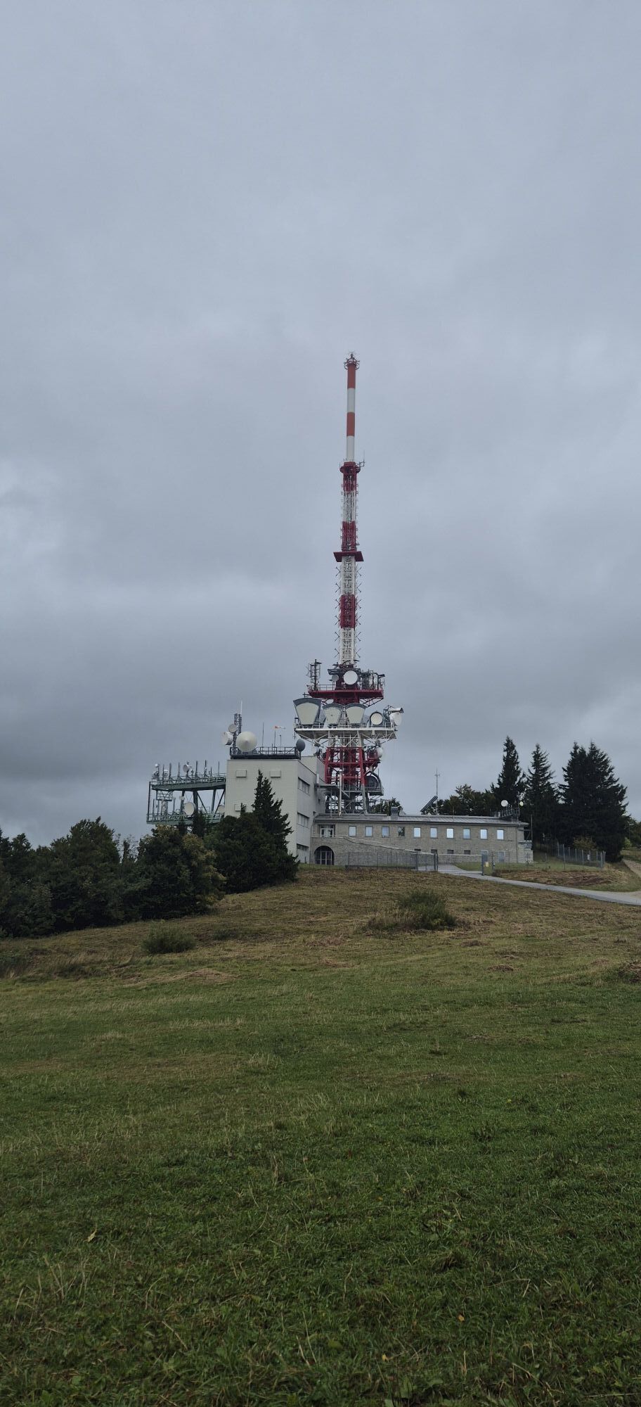
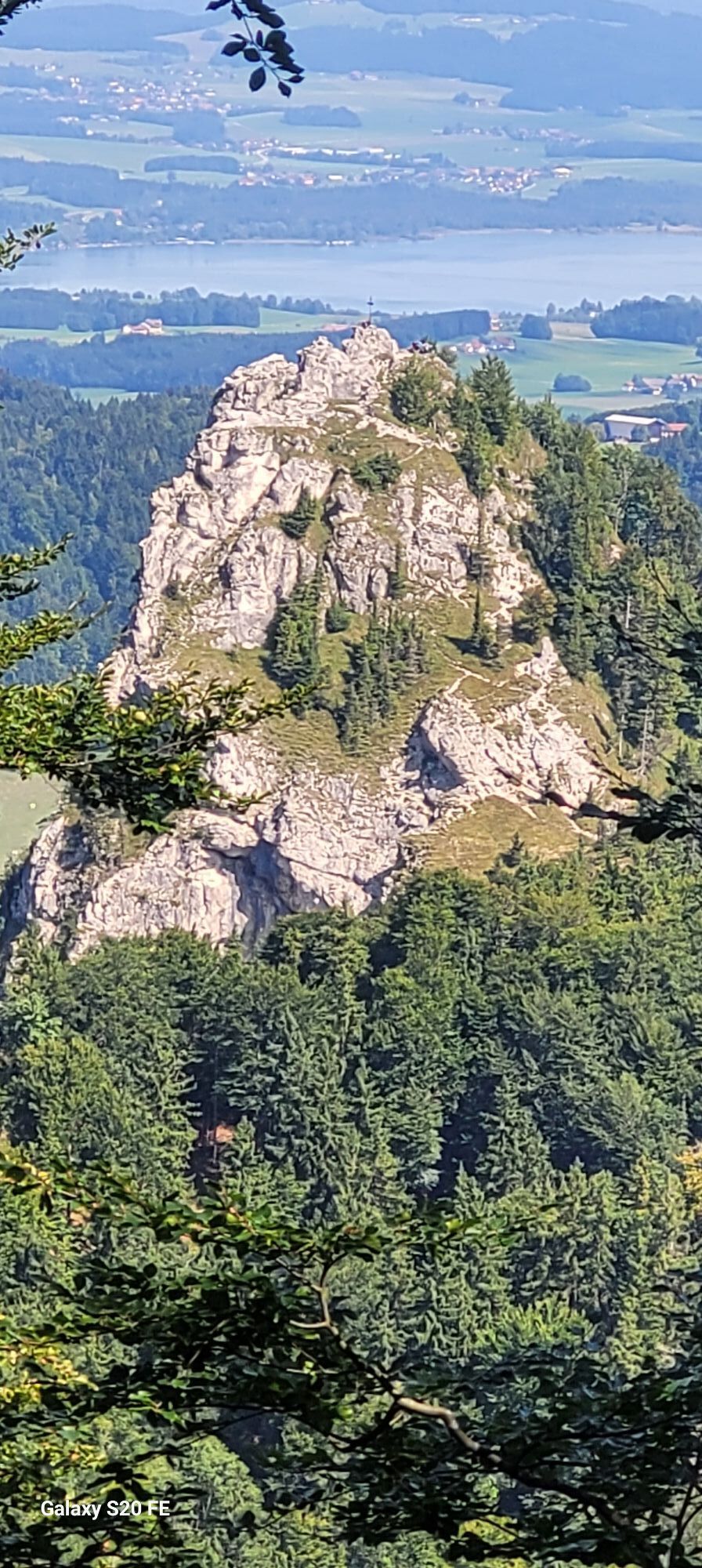
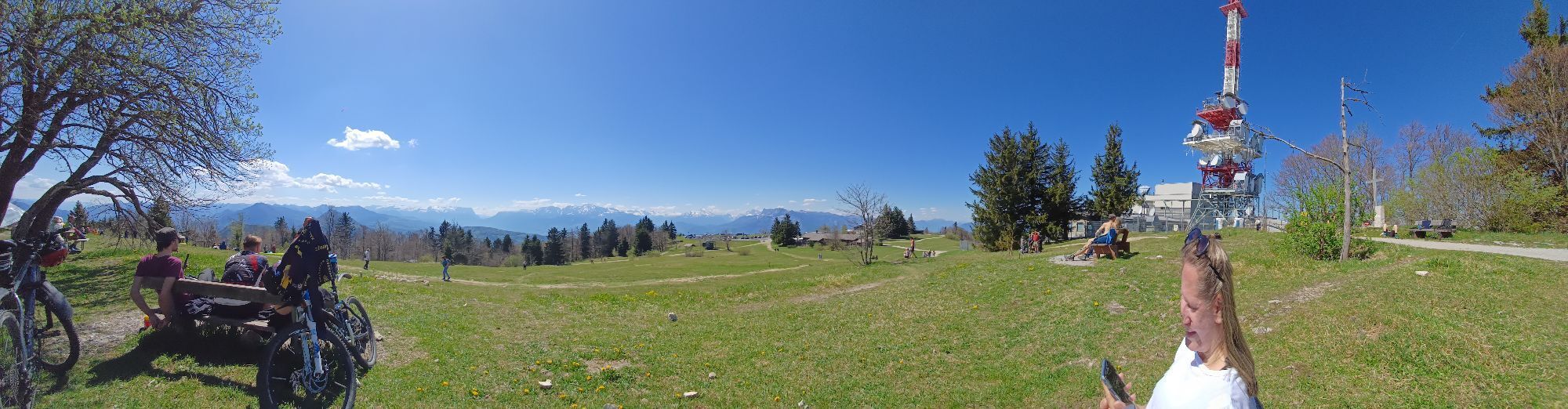
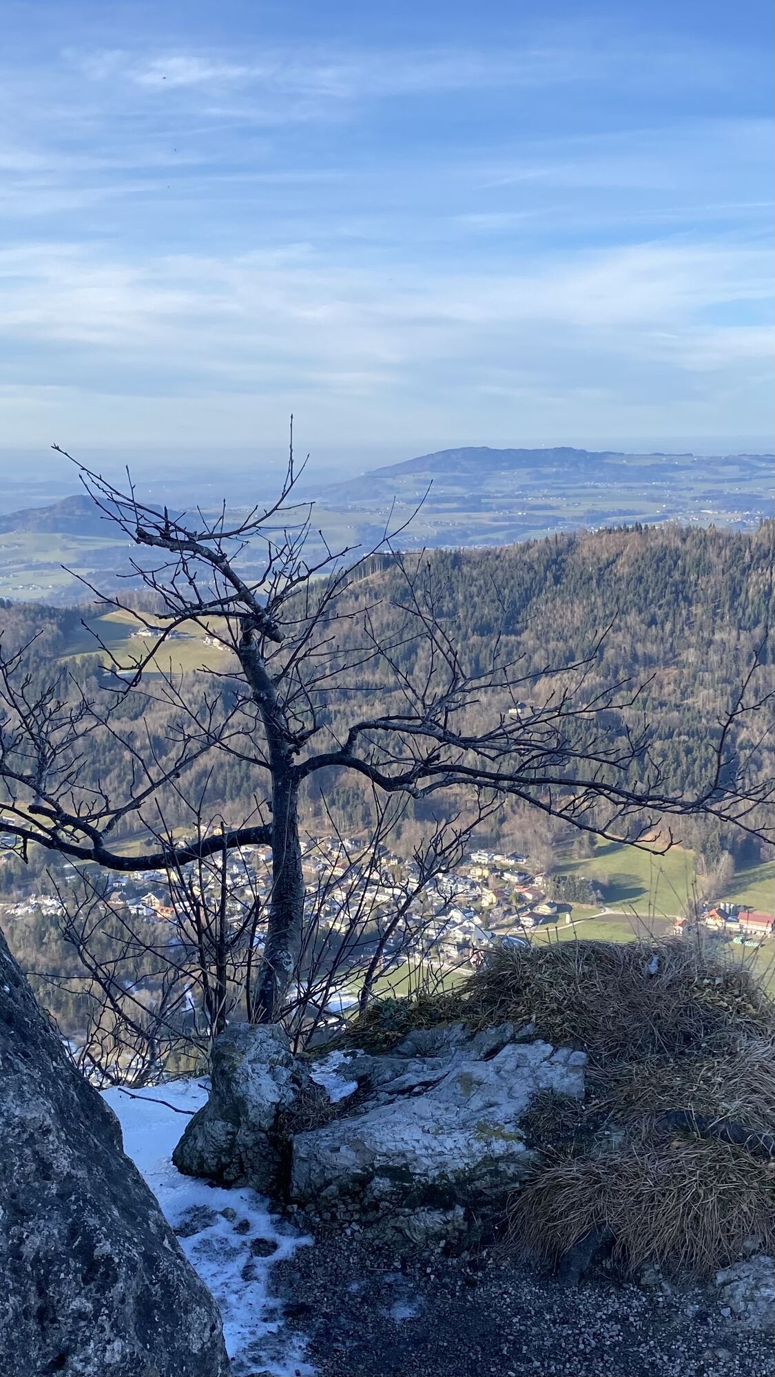
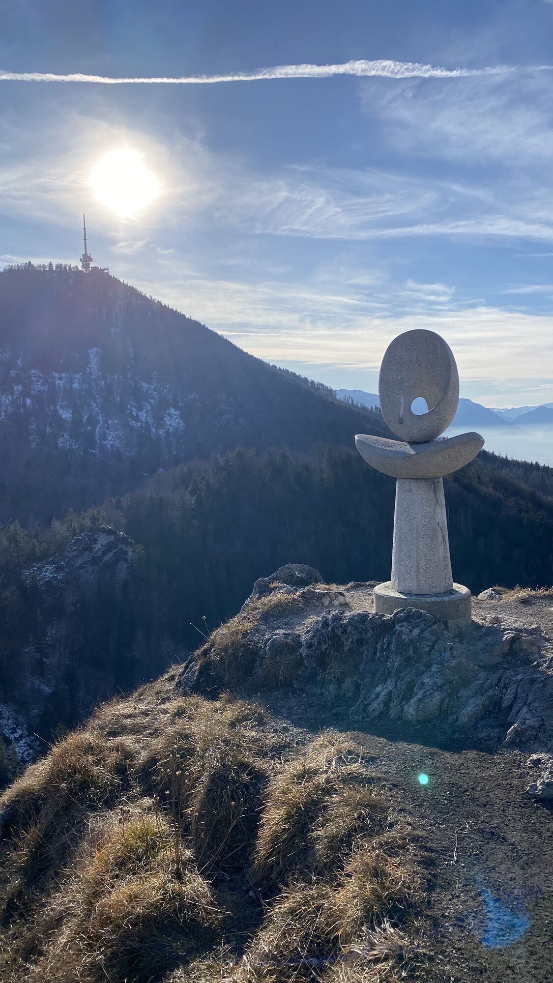
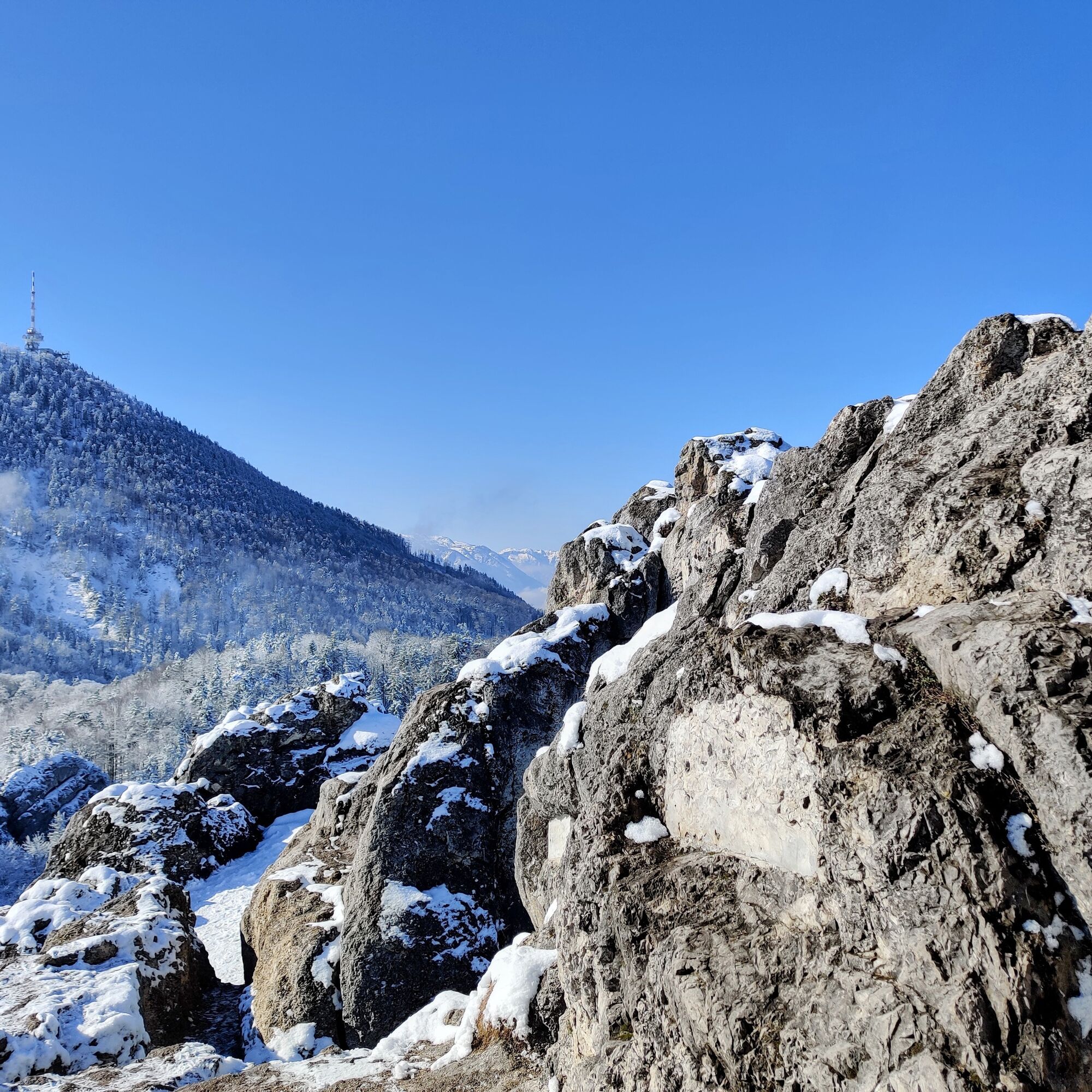
If you want to include the Nockstein summit, follow the path left with slight ups and downs to the stone sculpture below the summit ascent. To the right, hike up the steep, in one section secured with rope, trail to the exposed summit cross. Return the same way and follow the path through the forest on Gaisberg. After some hairpin bends, you reach the circular hiking trail. Go slightly right on the wide forest road to the indicated junction. The many small, nicely laid serpentine paths ease the steep ascent through the forest to the summit cross (1,287 m) of the Gaisberg, right next to the mighty transmitter.
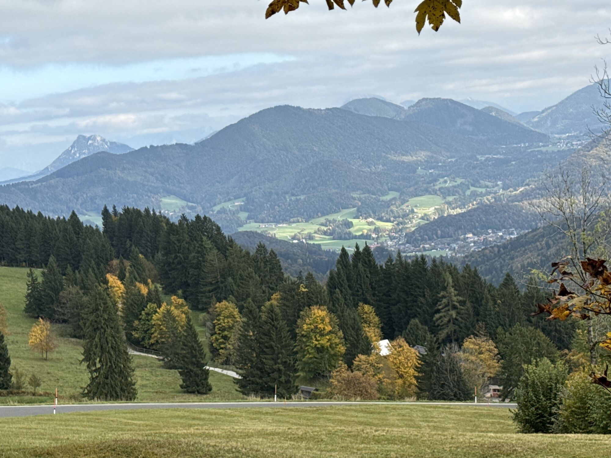
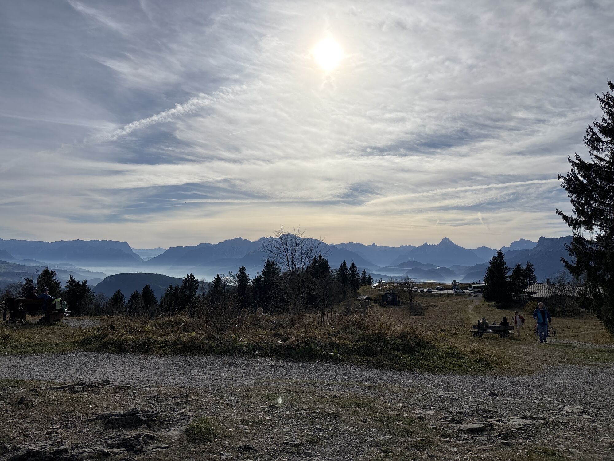
At the summit plateau, the Goasnalm invites you to stop for refreshments. A few meters east of the hut, the Büffelsteig trail for the descent branches off to the right. It initially leads over the road and then in a wide curve down to Zistelalm. From Zistel, descend the old route of the discontinued cog railway down to Parsch. Via the road of Judenbergweg, you reach Schmedererplatz, where the Obus line 6 bus stop is located. Those who want to save the descent can take the Gaisberg bus 151 into the city.
Áno
Hiking boots and equipment. In winter, crampons and hiking poles are recommended.
The summit ascent to Nockstein is exposed and requires sure-footedness and a head for heights. It can also be easily skipped when crossing.
Arrival: Bus 150 or 155 to (H) Koppl/Guggenthal
Return trip: (H) Ludwig-Schmederer-Platz Obus 6
Timetable information and download: Online at www.salzburg-verkehr.at or on your smartphone via the free Salzburg Verkehr app for Android and iOS.
Information & Contact:
Stefanie Ruep
5020 Salzburg
stefanie.ruep@gmail.com
Photo credit: Stefanie Ruep
For checking the weather on Gaisberg, the webcam is very suitable. Here you can also check whether the sun is shining at the summit during inversion weather, even if it is dull and cloudy in the city.
Tip: The summit ascent to Nockstein is exposed and requires sure-footedness and a head for heights. It can also be easily skipped when crossing.
Refreshments: Goasn Alm, Goasn Wirtshaus
Obľúbené výlety v okolí
-
4,8
Fuschl: Ruine Wartenfels - Schober - Frauenkopf
strednáTuristika 7,62 km -
4,2
Fuschlseewanderung
svetloTuristika 11 km -
4,1
Untersberg, Toni-Lenz-Hütte
Turistika 4,86 km -
4,4
From Koppl to the Gaisberg summit
strednáTuristika 9,86 km -
4,8
Schober -Aussichtsplattform mit Seensicht
ťažkéTuristika 2,65 km -
4,2
Panoramic circular route Kaiserbuche
svetloTuristika 4,93 km -
4,7
+++ Schober, Österreich
strednáTuristika 2,60 km -
4,2
Idyllic Hintersee Rund
svetloTuristika 5,10 km -
4,8
Great and Small Barmstein, the landmarks of Hallein
ťažkéTuristika 6,58 km -
4,7
Reitsteig - Dopplersteig Runde_Untersberg
strednáVysoké turné 9,89 km

Turistika a stopovanie


Nenechajte si ujsť ponuky a inšpiráciu na ďalšiu dovolenku
Vaša e-mailová adresa bol pridaný do poštového zoznamu.