







From Hallein via Bad Dürrnberg to Gmerk

Salt was crucial in earlier times for preserving food. No wonder it was called "white gold," which brought prosperity and wealth to the owners of the salt deposits. However, the wealth was unevenly distributed;...
Salt was crucial in earlier times for preserving food. No wonder it was called "white gold," which brought prosperity and wealth to the owners of the salt deposits. However, the wealth was unevenly distributed; the main beneficiary was the residence city, while Hallein with its saltworks is portrayed poorly in contemporary reports. In a letter from musician Franz Schubert to his brother in 1820, there is even mention of an "extremely ugly city." If the famous composer walked through Hallein today, he would be delighted. The salt tunnels in Dürrnberg were already an early popular destination for travelers, but access was much more difficult and only possible with an archbishop's permission letter. Today it is easier; Dürrnberg is an easily accessible destination where the traces of salt mining, which stopped in 1989, are still widely visible.

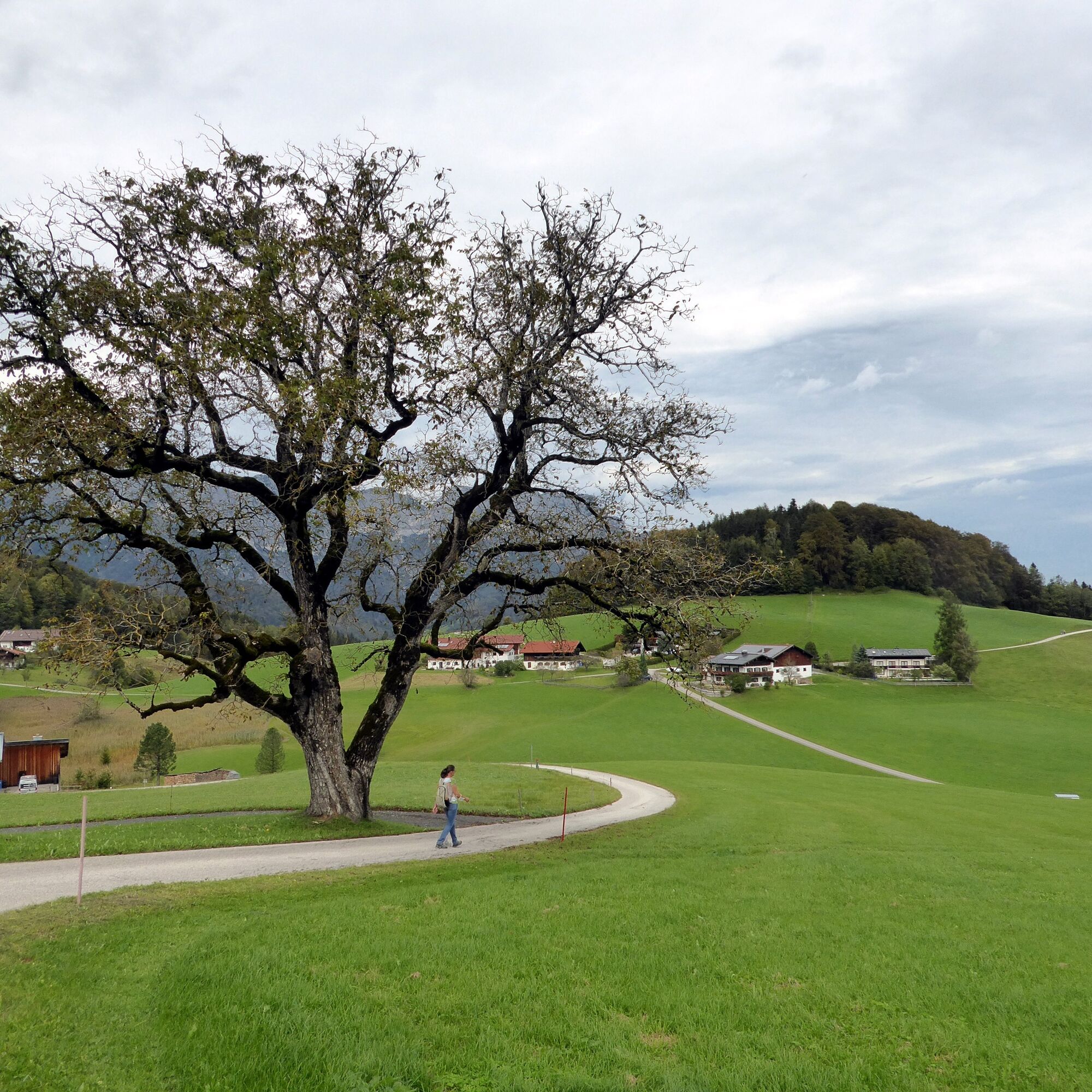
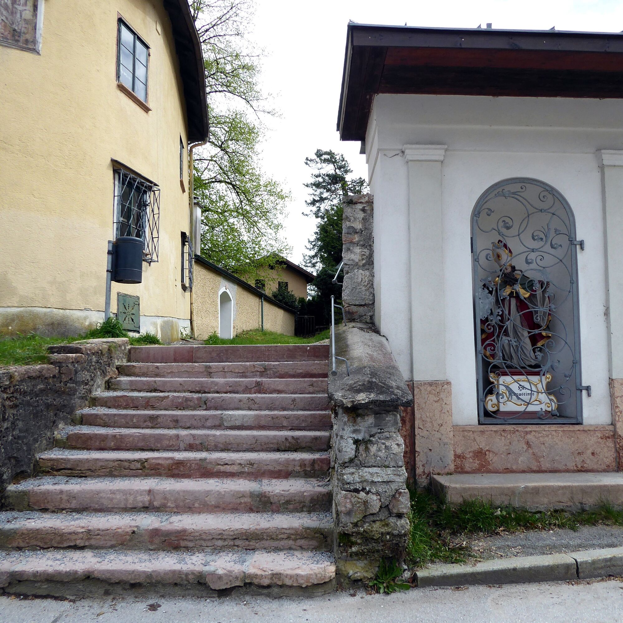
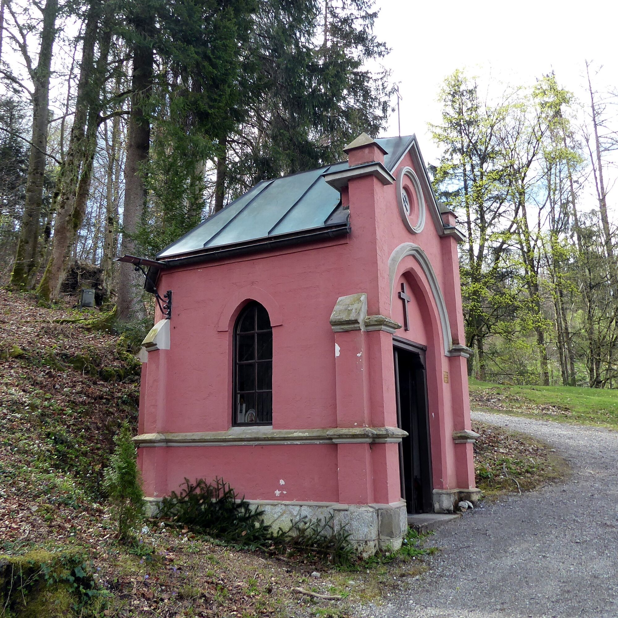
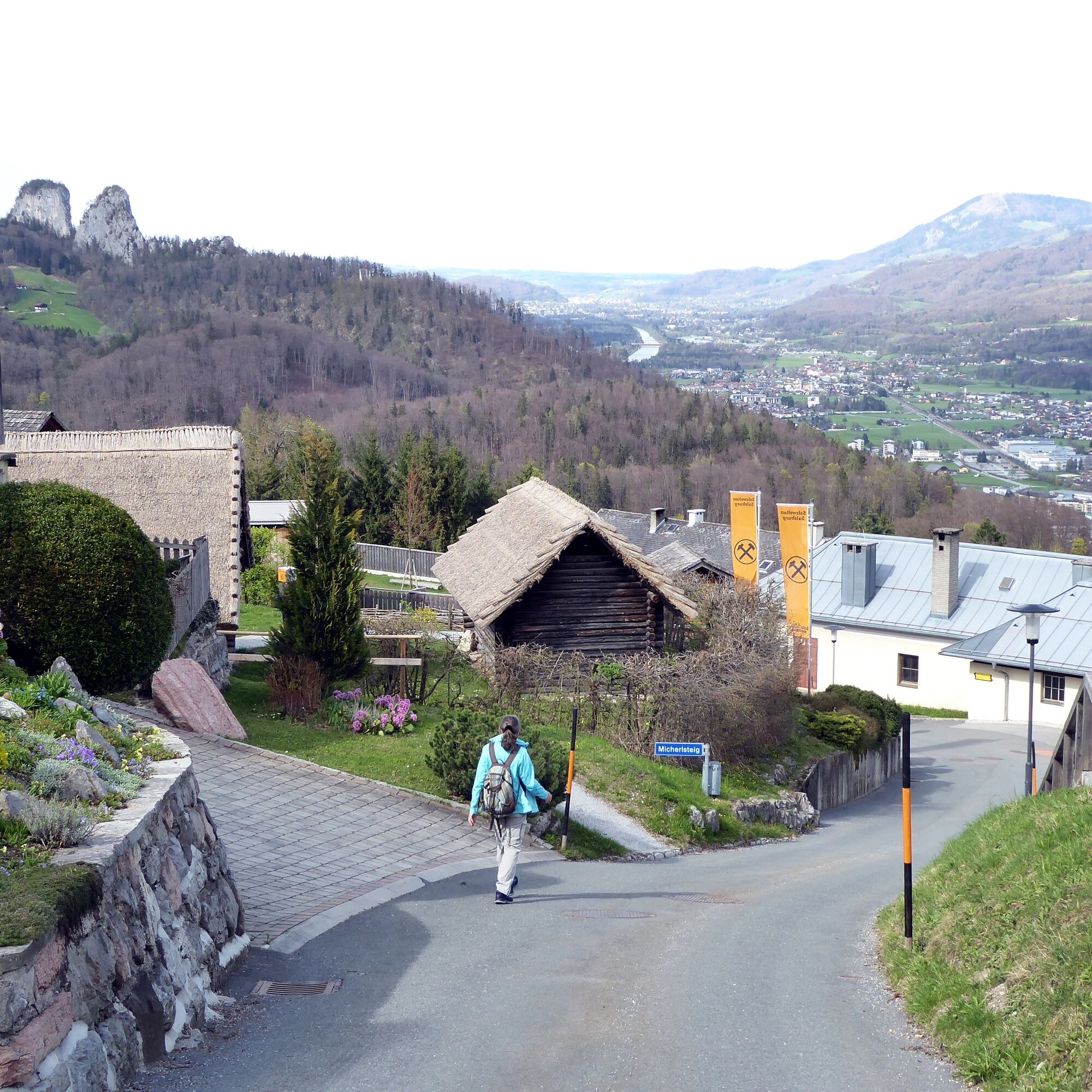
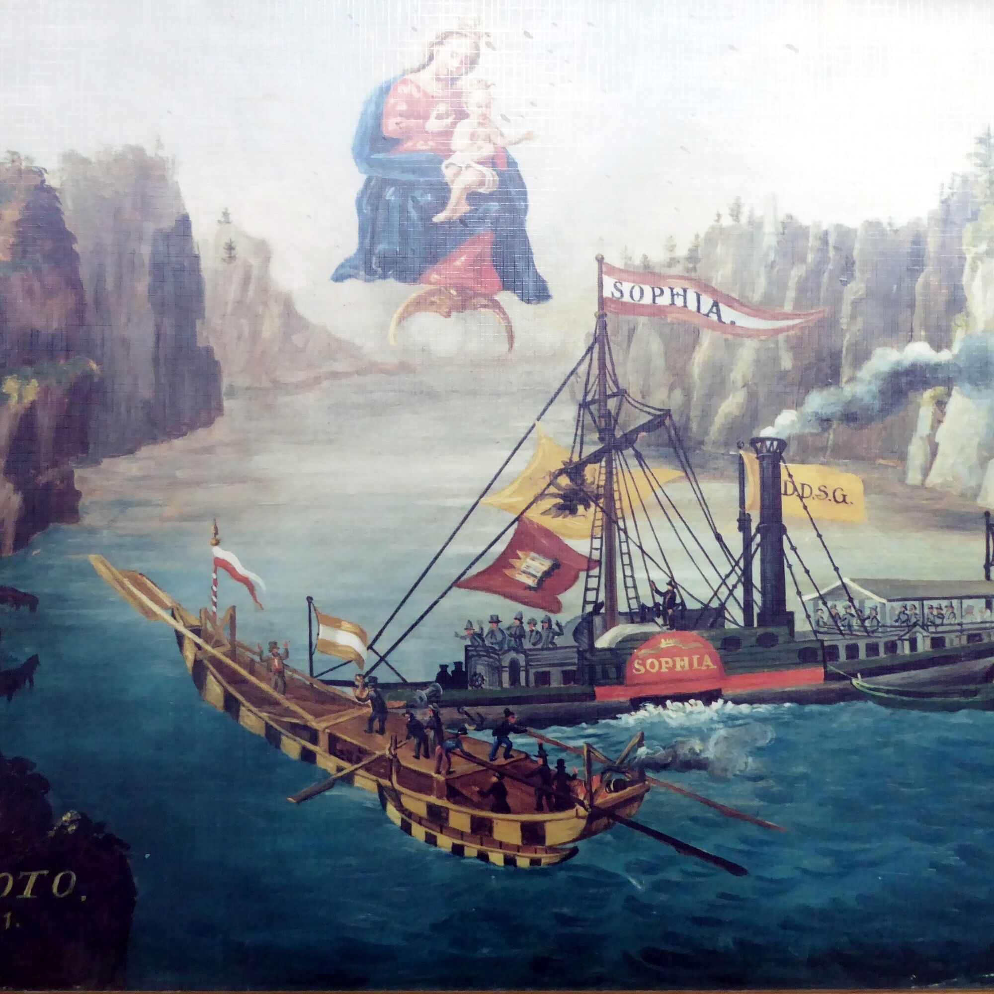
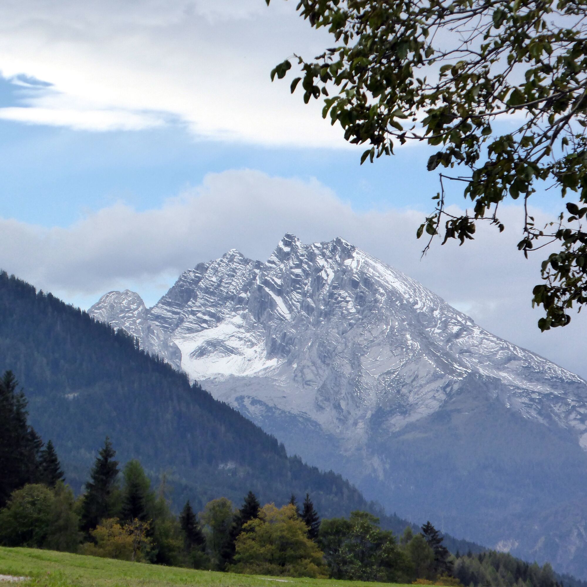

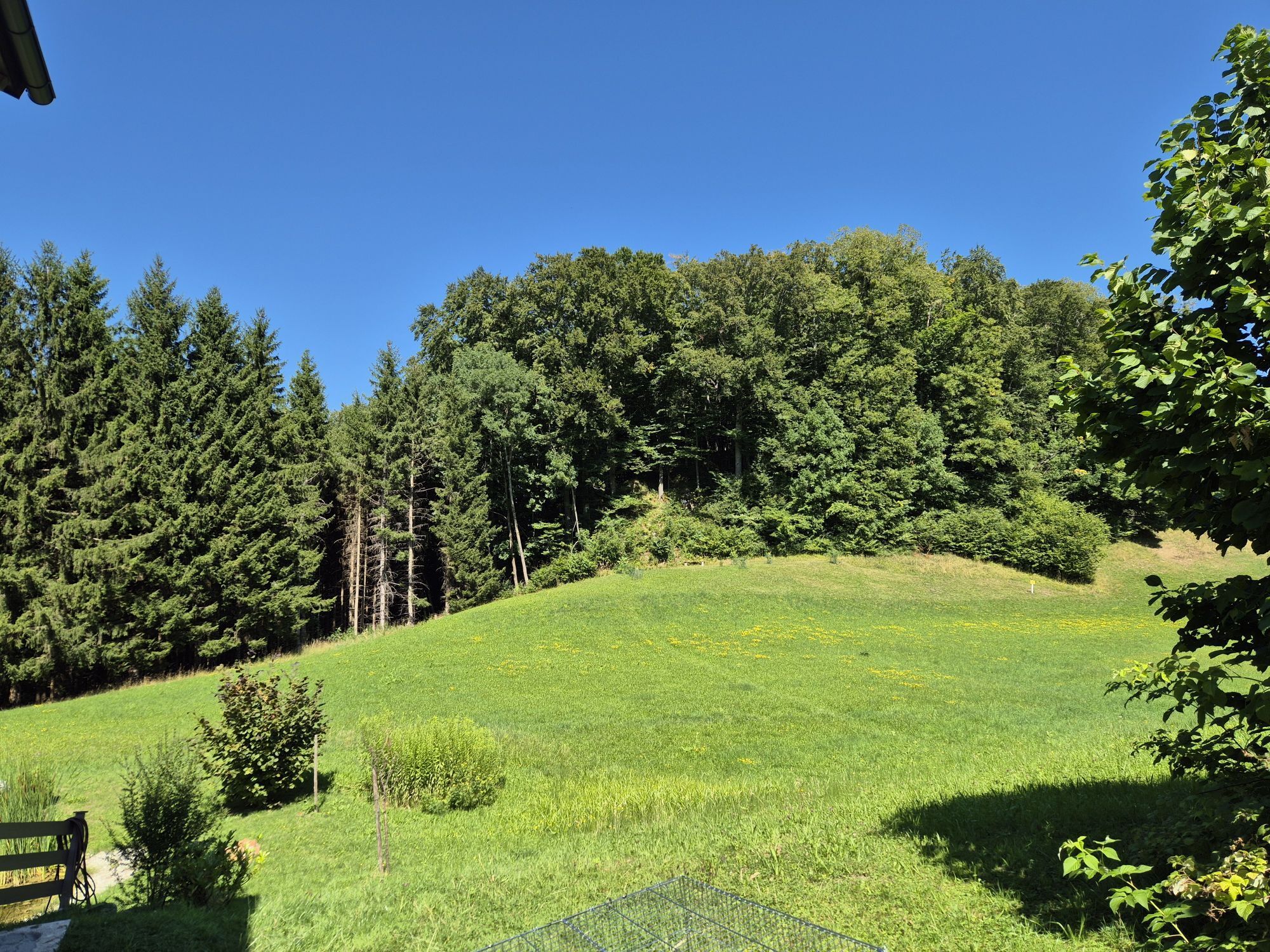
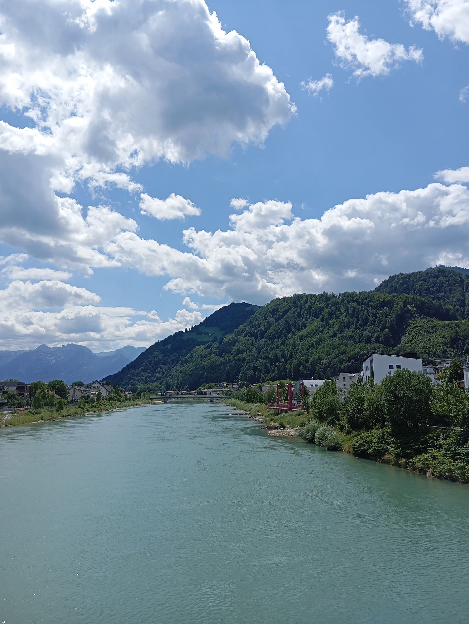
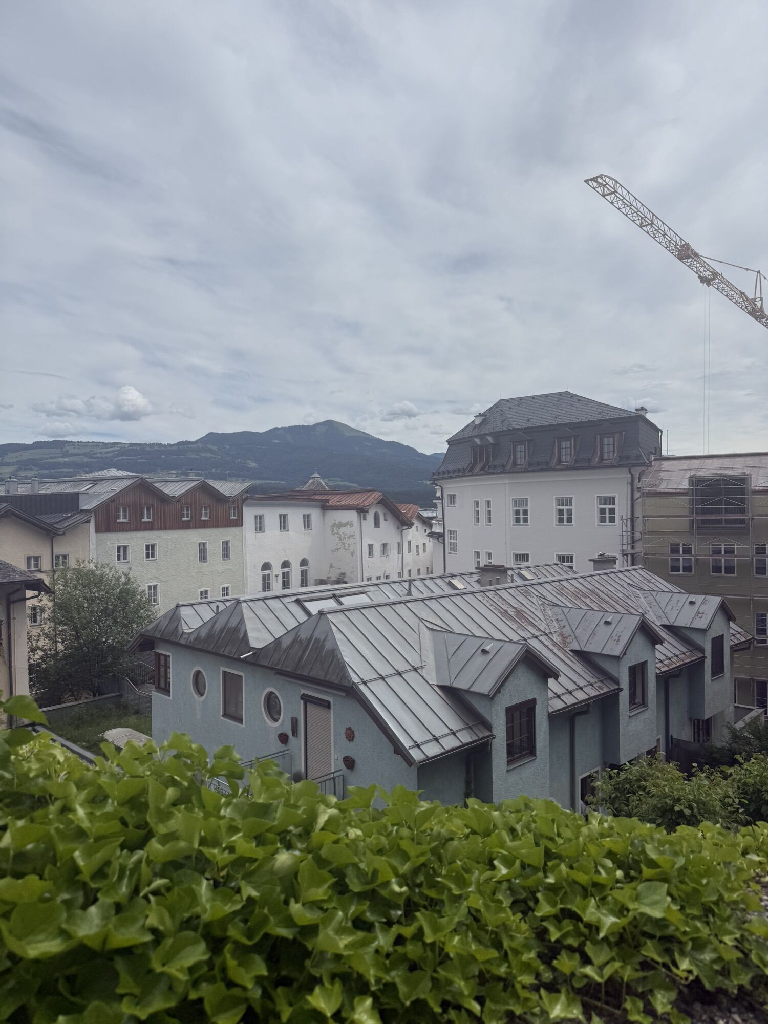
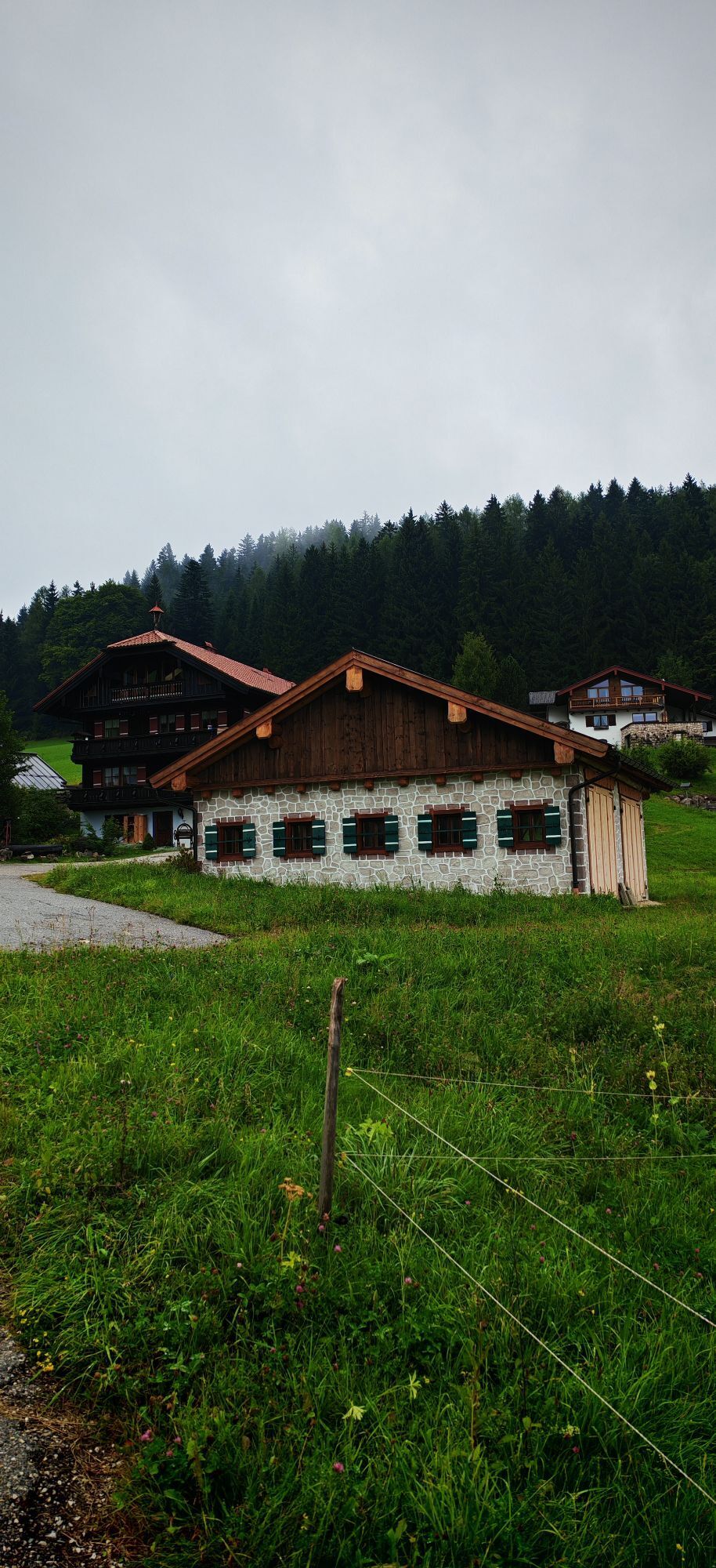
From Hallein station or the Stadtbrücke bus stop, the path leads over the Perner island and the Stadtbrücke on Thunstraße to the Lower Market and further to the parish church. Passing on the left, it goes via Ferchlstraße and Schützengasse up to the grammar school. The remains of the monastery staircase recall the Augustinian monastery built between 1683 and 1702 and burned down in 1943. The path follows the steep ravine course and turns right onto the Knappensteig. The elaborate renovation of the steps was made possible by many sponsors. At the end of the stairs, the "Red Chapel" invites you to pause. Almost as steeply, it passes two particularly productive tunnels to the entrance building of the salt mine, then up to the pilgrimage church towering above and along Hellstraße further to the state road. Diagonally opposite, Rumpelgasse branches off, crossing the state border past the Teuffenbach tunnel. In the Berchtesgaden district of Gmerk, the route gently ascends to the right and leads through a magical forest and meadow landscape to the Neuhäusl inn. Now along the road to the right and over the Kranzbichl border crossing in a few minutes to the stop of the same name.
Áno
Áno
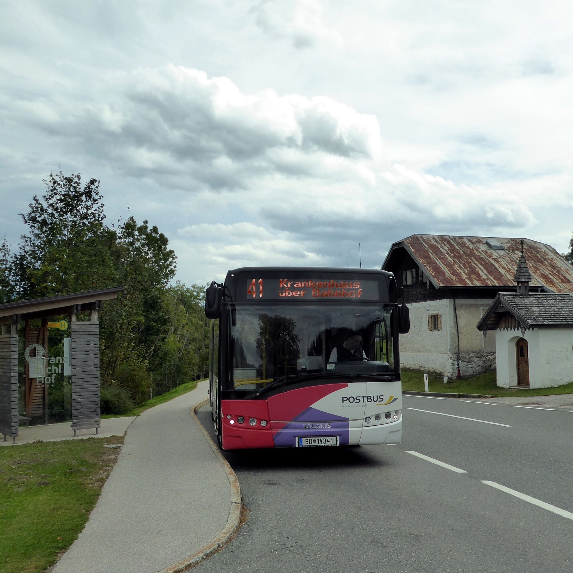
By bus 41 from Hallein station (west side) or Hallein Stadtbrücke to Bad Dürrnberg salt mine. Return by bus 41 from Bad Dürrnberg Kranzbichlhof.
Frequency / schedule: hourly on weekdays, every 2 hours on Sundays and holidays.
Timetable information and download: Online at www.salzburg-verkehr.at or on your smartphone via the free Salzburg Verkehr app for Android and iOS.
Mag. Christian Heugl
5400 Hallein
christian.heugl@gmail.com
Photo credit: Christian Heugl
Tip 1: Visit the Salt Worlds Bad Dürrnberg (Celtic village): www.salzwelten.at/de/salzburg
Tip 2: Have an ice cream in the picturesque old town of Hallein in summer.

Webové kamery z prehliadky

Obľúbené výlety v okolí
-
4,7
Schwarzer Berg / Golling
strednáTuristika 2,54 km -
4,6
Kneifelspitze
Turistika 2,53 km -
4,0
Malerwinkel Rundwanderweg
svetloTuristika 3,60 km -
4,1
Durch die Almbachklamm nach Ettenberg
Turistika 7,54 km -
4,6
Grünstein
svetloTuristika 2,57 km -
4,8
Great and Small Barmstein, the landmarks of Hallein
ťažkéTuristika 6,58 km -
4,2
Untersberg, Toni-Lenz-Hütte
Turistika 4,86 km -
3,9
Rundwanderweg zur Steinernen Agnes
Turistika 9 km -
4,4
Hike to the Kleiner Barmstein via the Thürndl ruin
strednáTuristika 4,20 km -
4,9
Untersberg (Salzburger Hochthron)
strednáTuristika 11,8 km
Turistika a stopovanie


Nenechajte si ujsť ponuky a inšpiráciu na ďalšiu dovolenku
Vaša e-mailová adresa bol pridaný do poštového zoznamu.





