
Stage 4
svetlo
Získajte túto prehliadku v mobilnom telefóne
Stage 4
svetlo
Turistika
15,98
km
Naskenujte kód QR a spustite navigáciu v aplikácii bergfex


Turistika a stopovanie




Stage 4
svetlo
Vzdialenosť
16,0
km
Trvanie
03:59
h
Ascent
1 269
hm
Hladina mora
1 278 -
2 444
m

Naviguj sa počas prehliadky v aplikácii
Nainštalujte si aplikáciu zadarmo a sledujte trasu vďaka GPS navigácii a sledovaniu polohy.
Využite službu „ bergfex “ už teraz v aplikácii
Naskenuj QR kód pomocou fotoaparátu
Ak máte aplikáciu nainštalovanú, obsah sa otvorí priamo. Ak aplikáciu ešte nemáte, budete presmerovaní na stránku, kde si ju môžete bezplatne stiahnuť.
Stiahnutie skladby
Stage 4
svetlo
Turistika
15,98
km
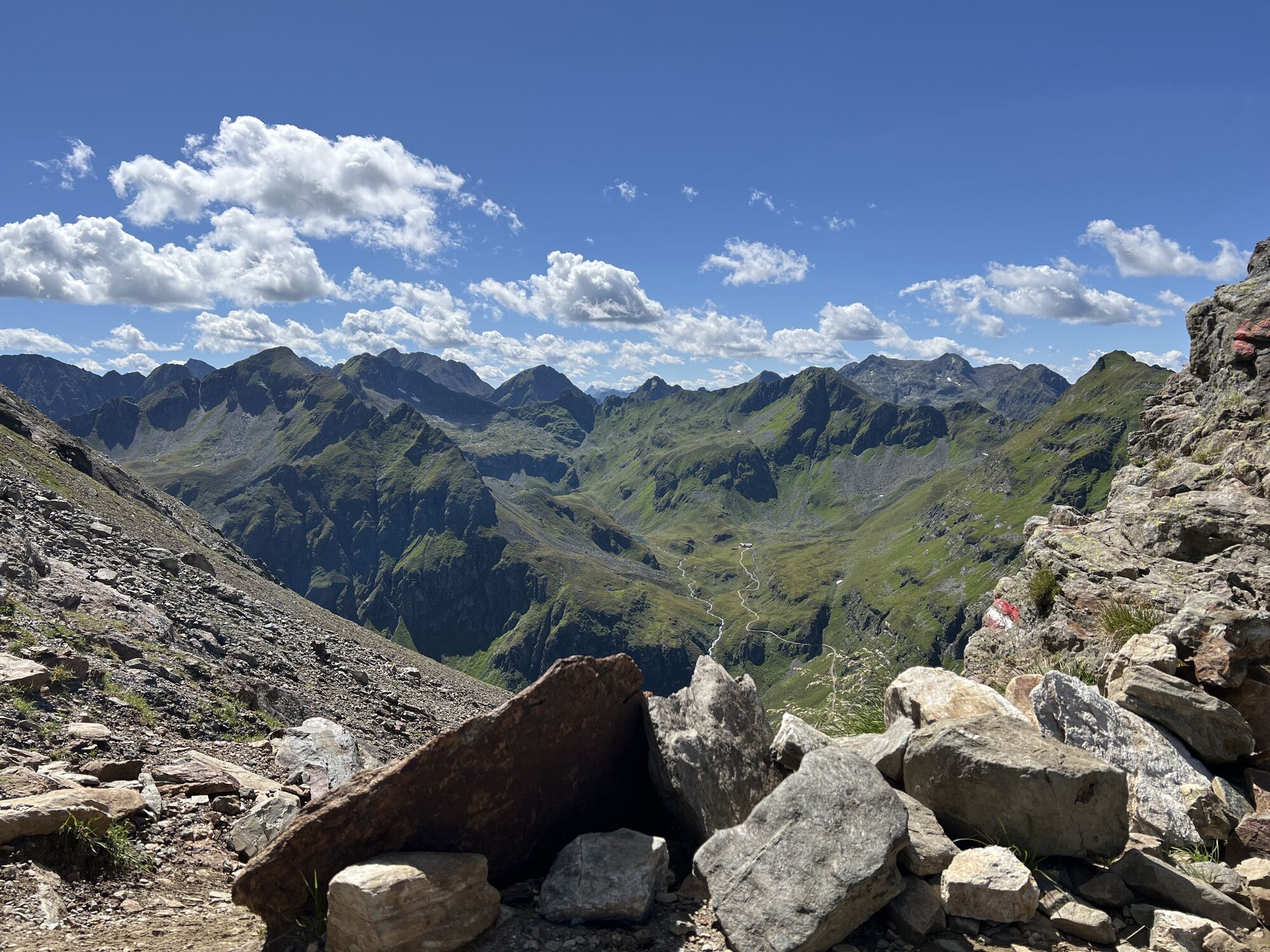
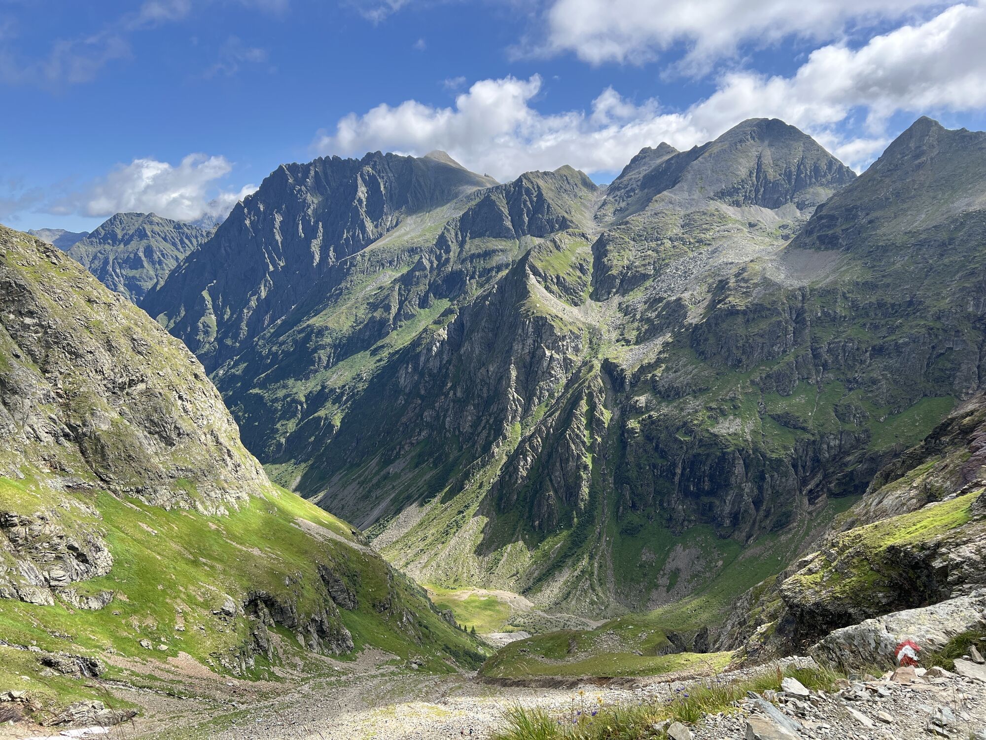
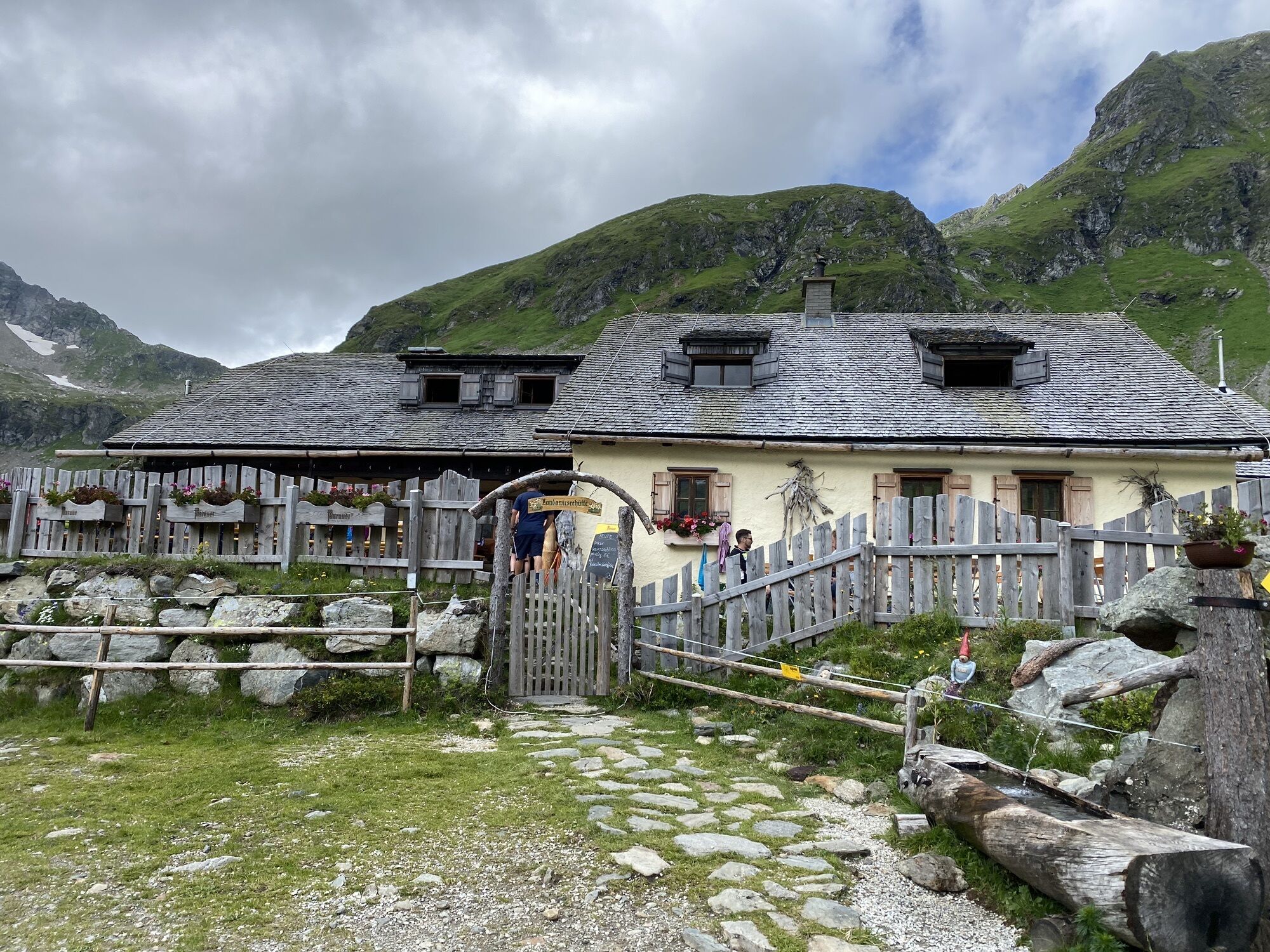
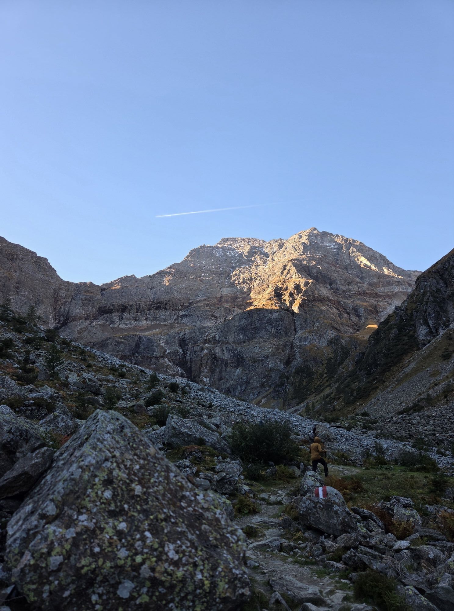
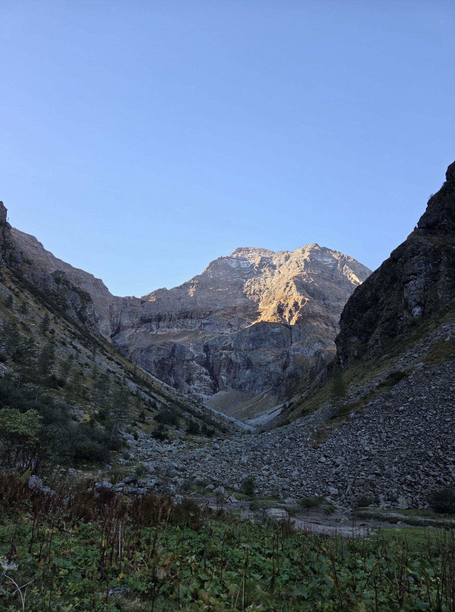
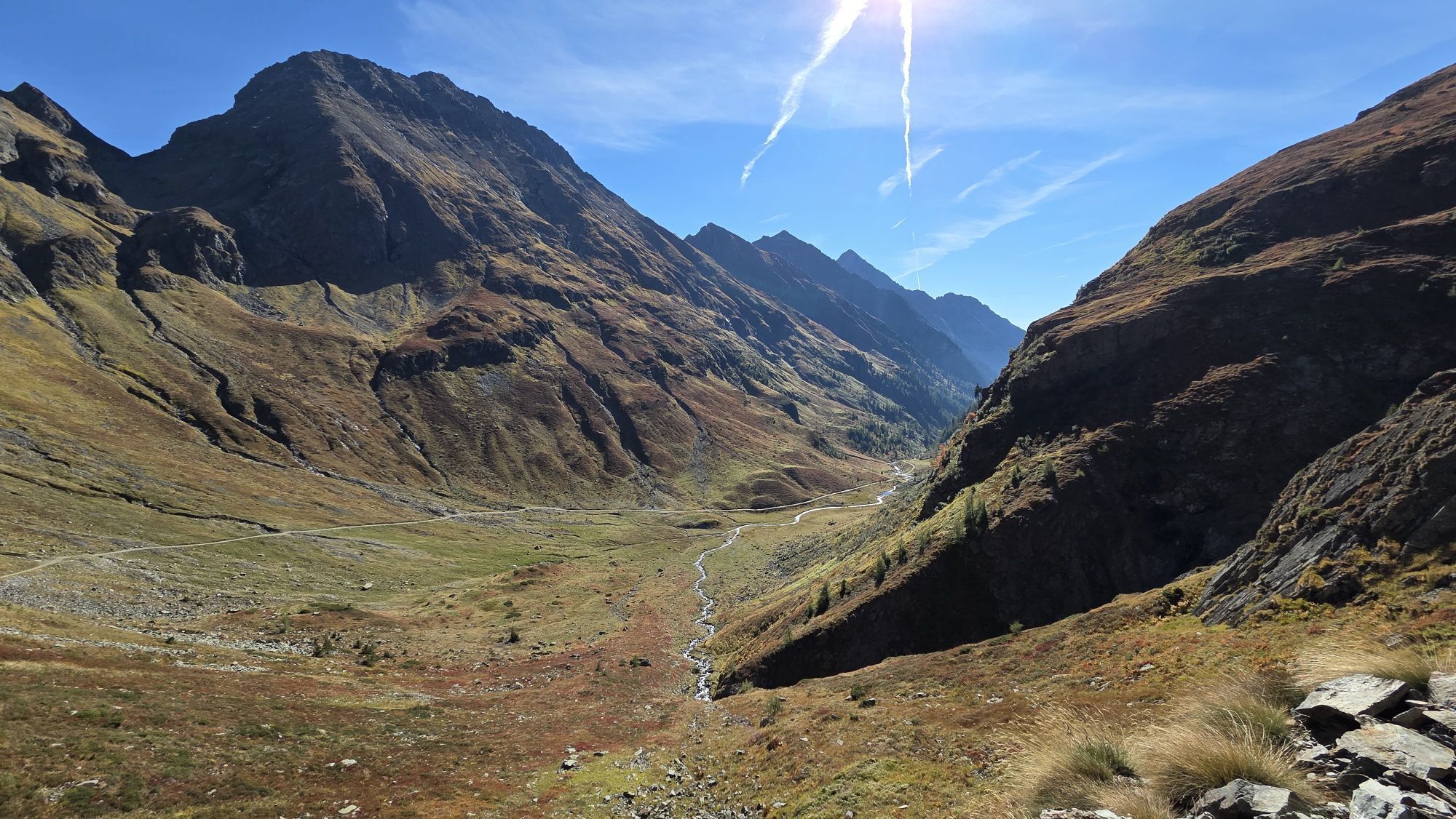
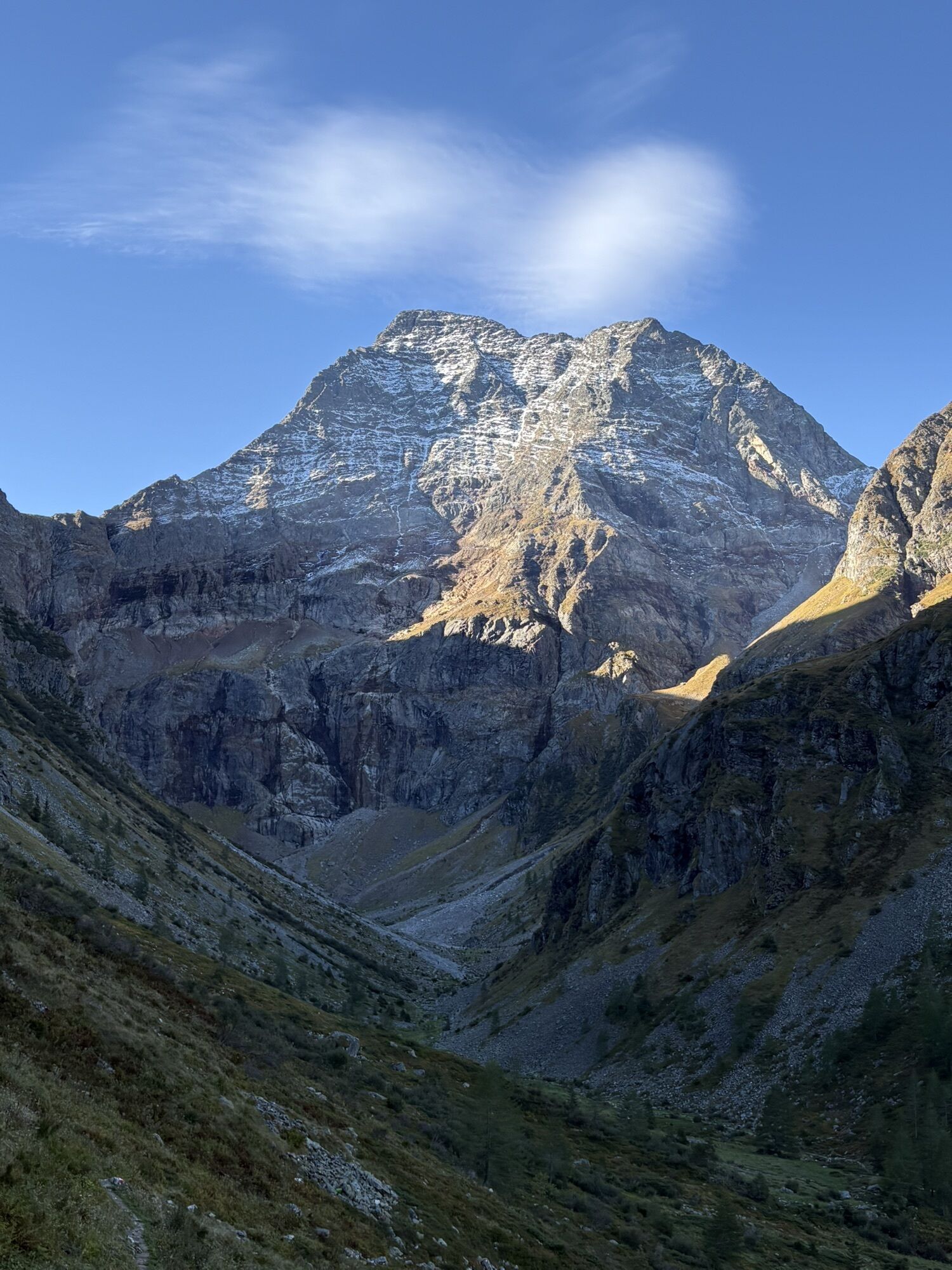
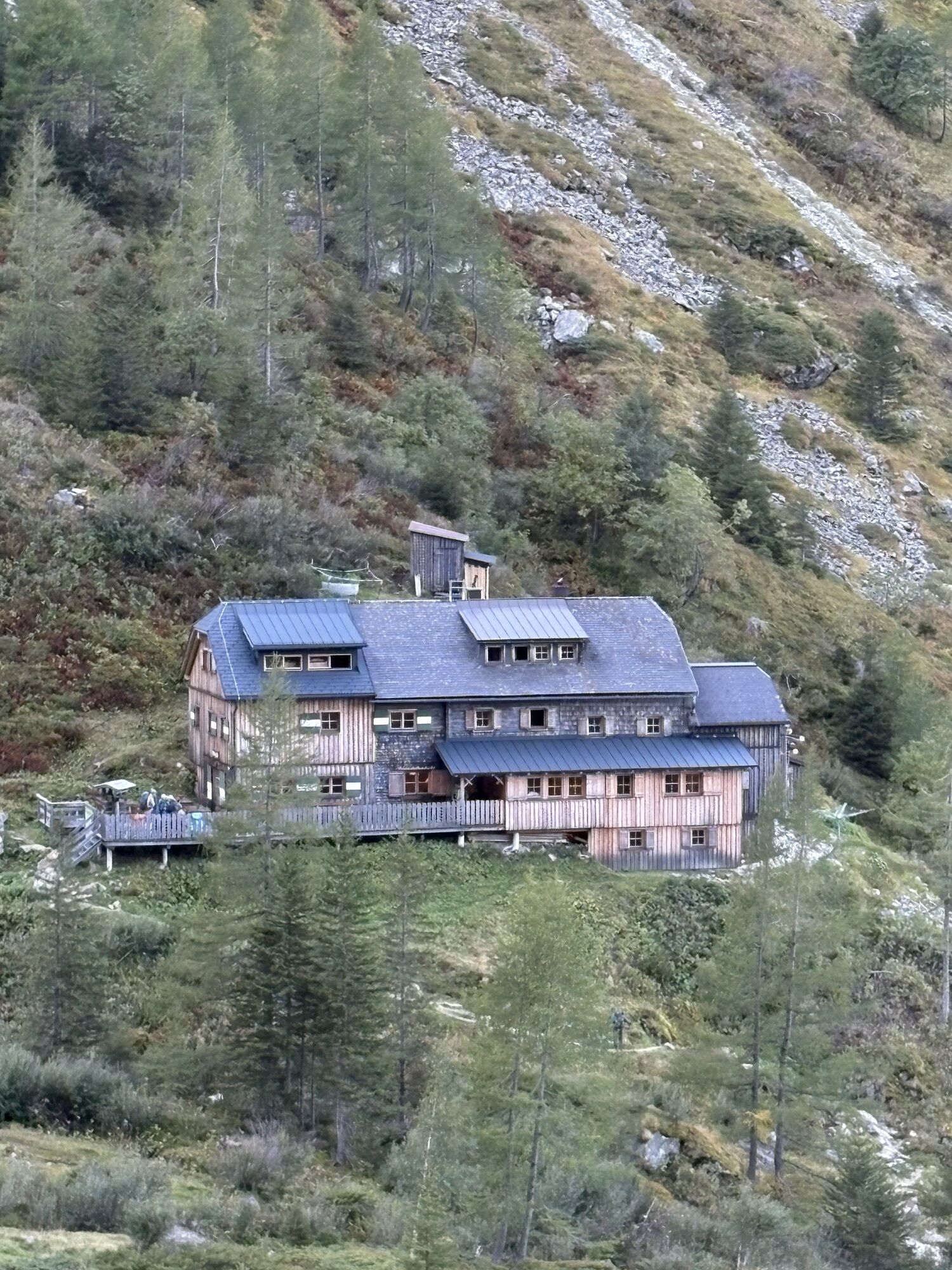
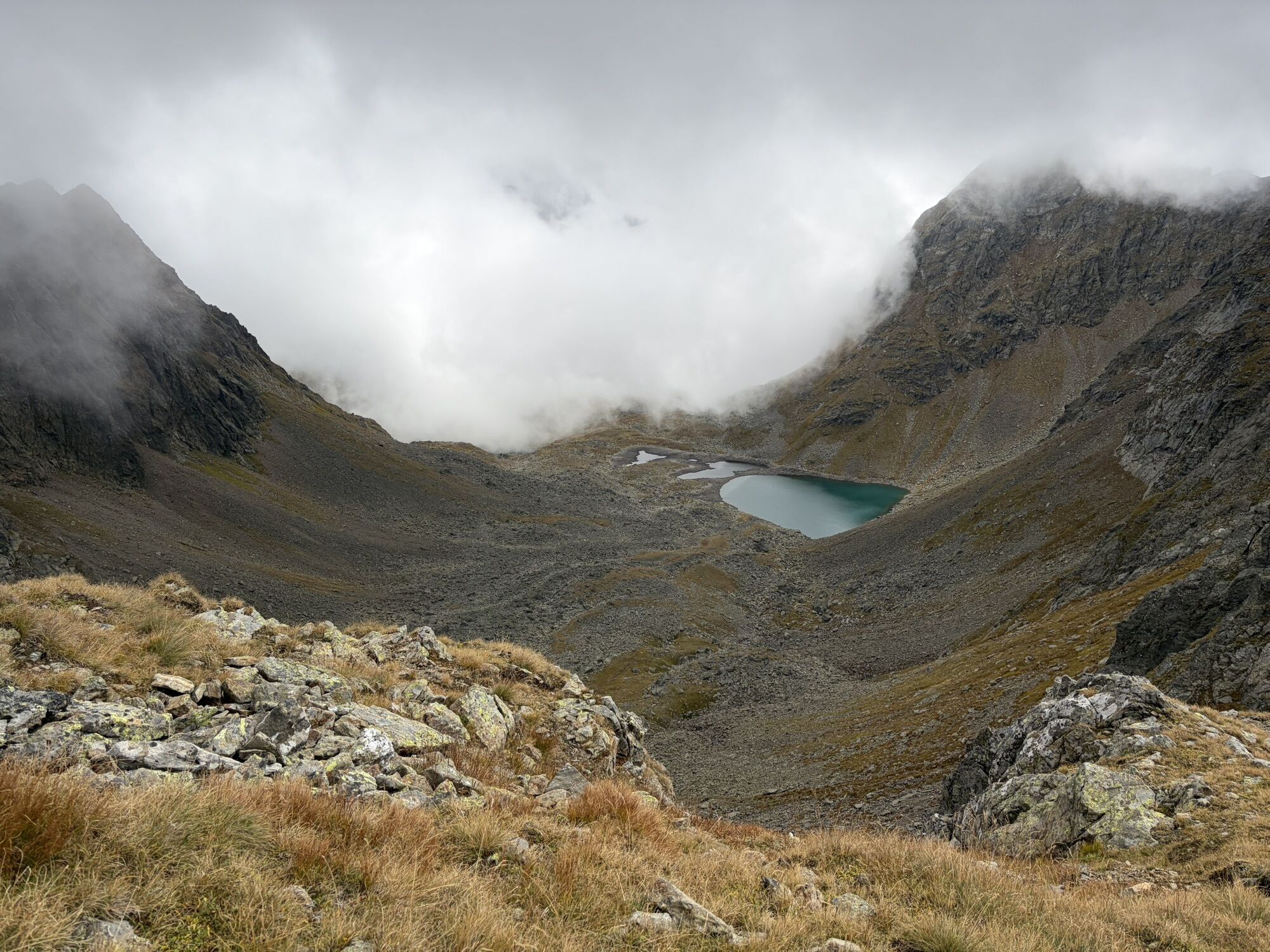
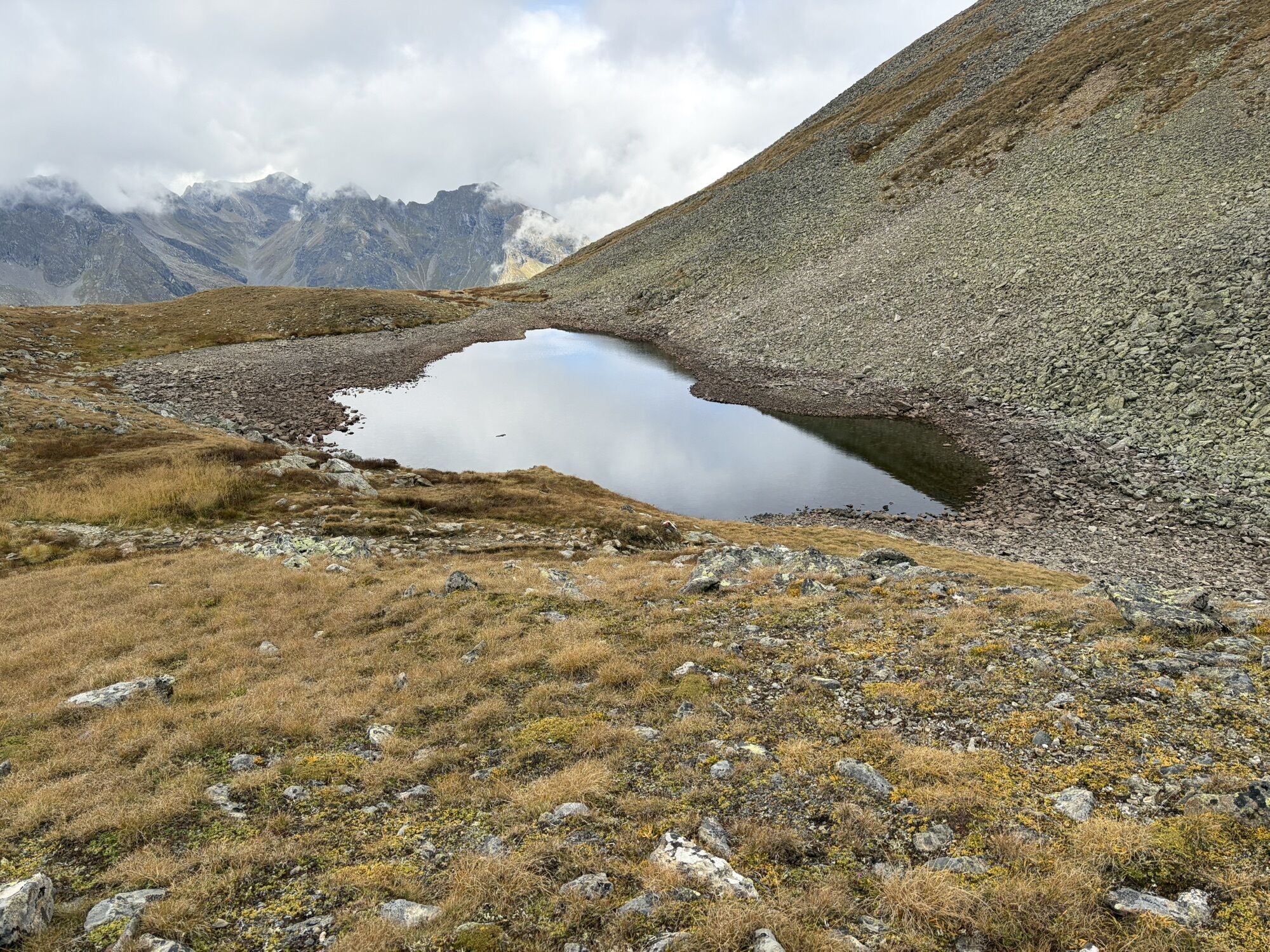
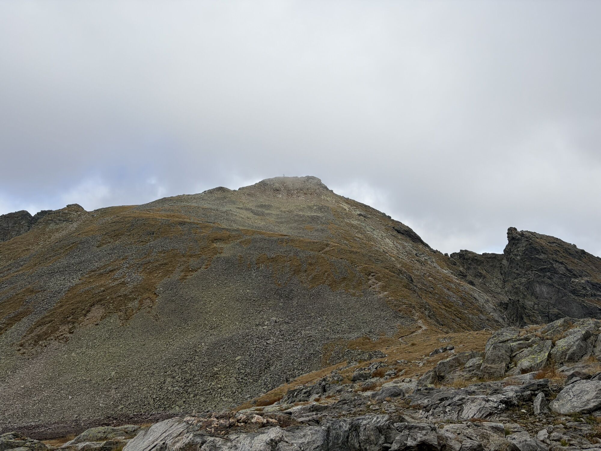
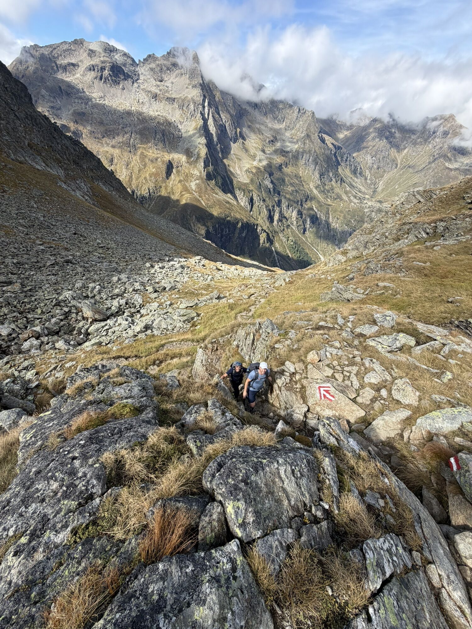
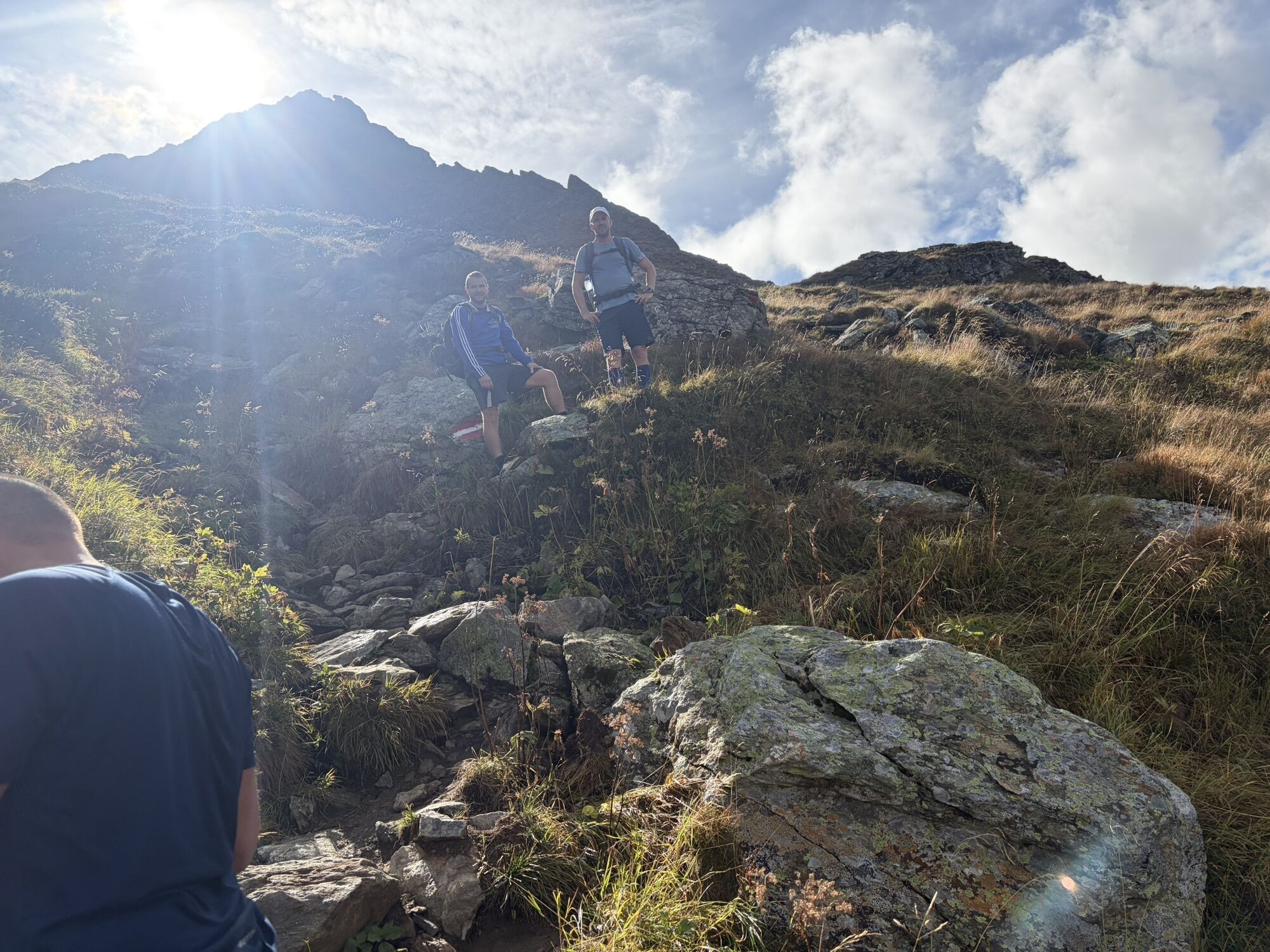
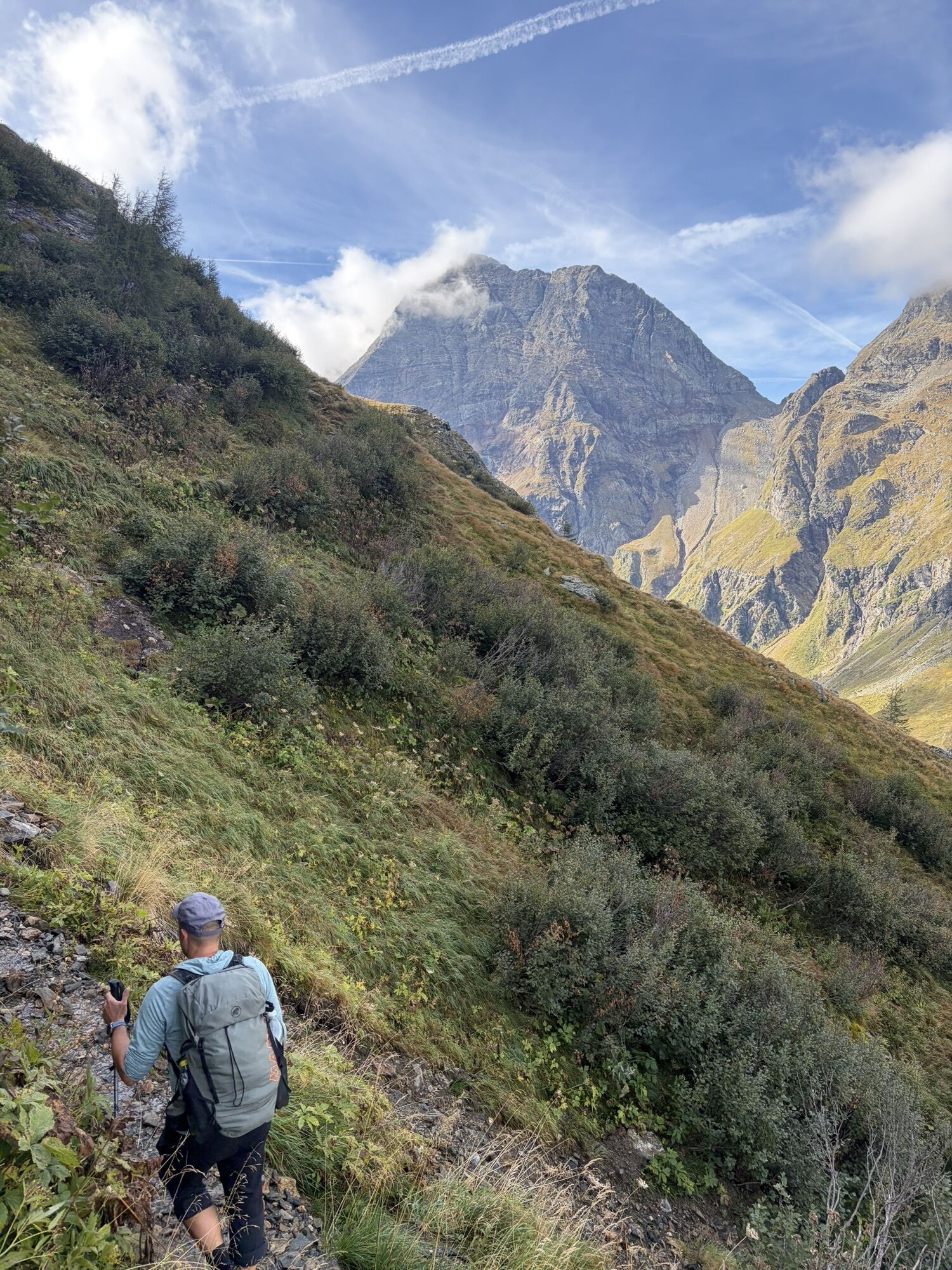
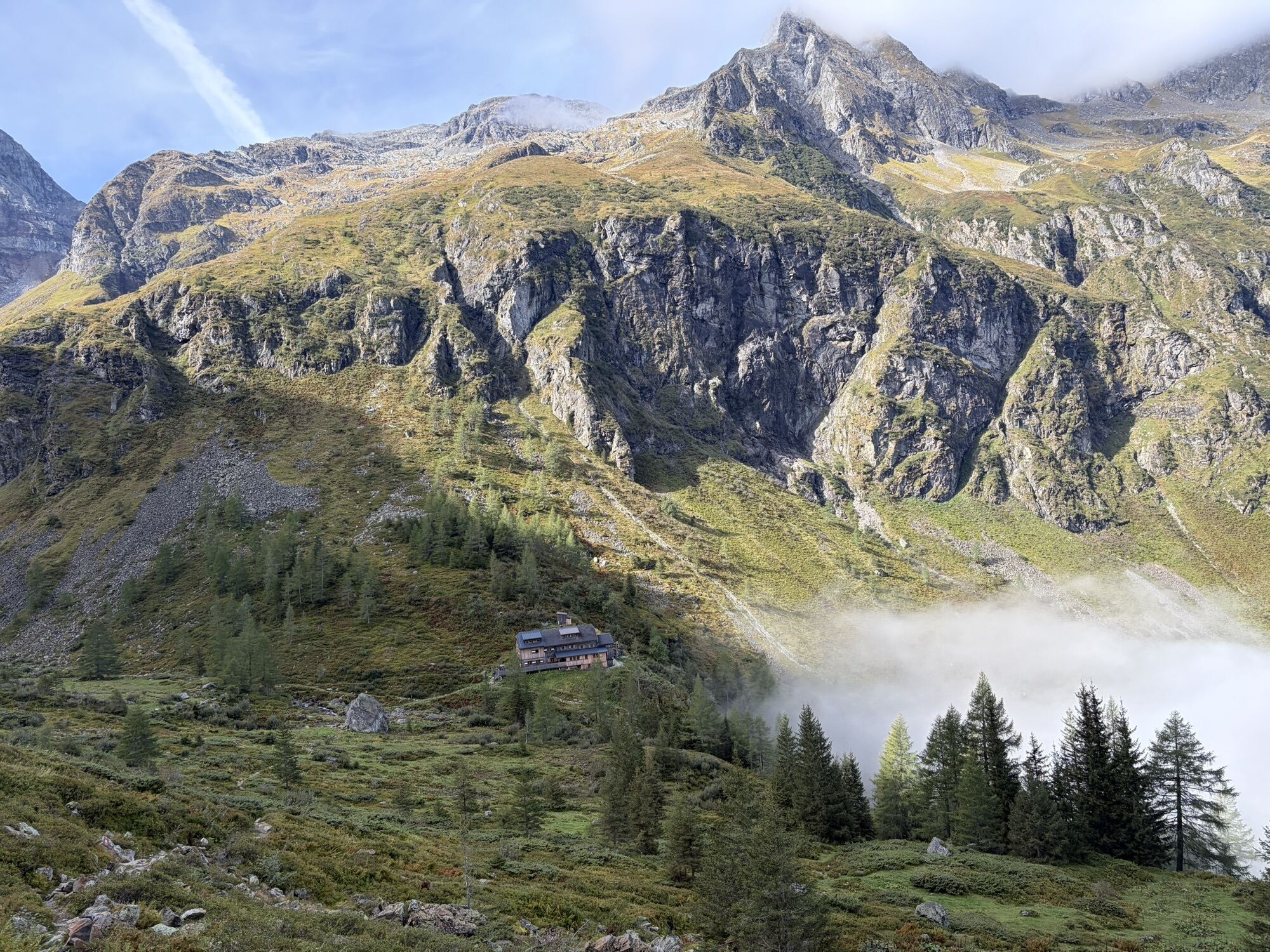
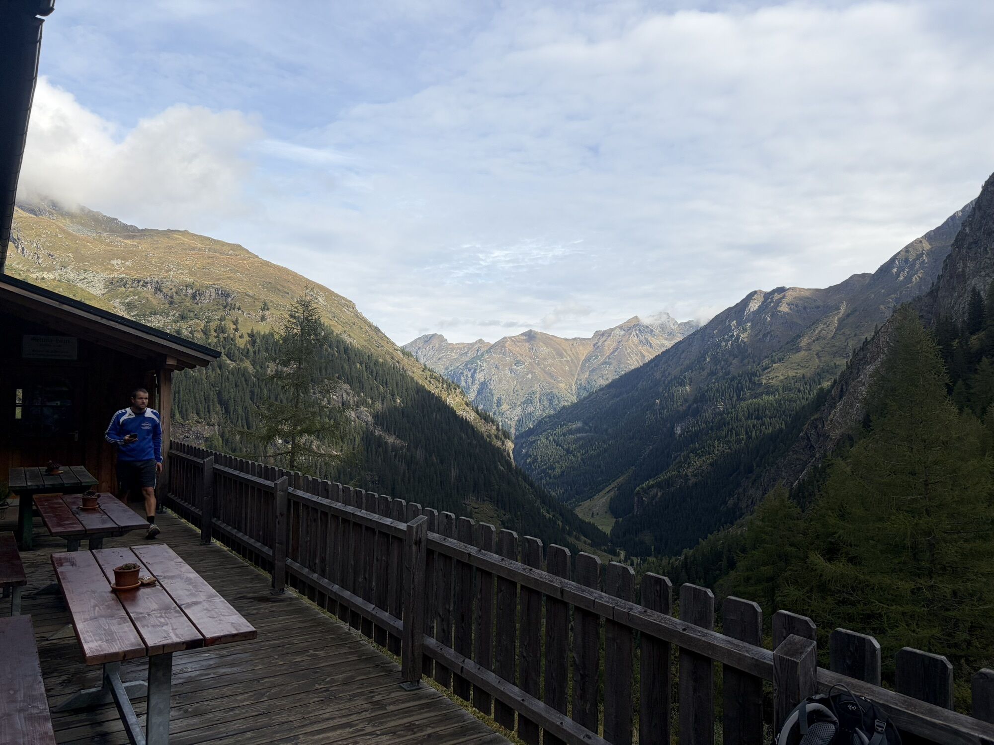
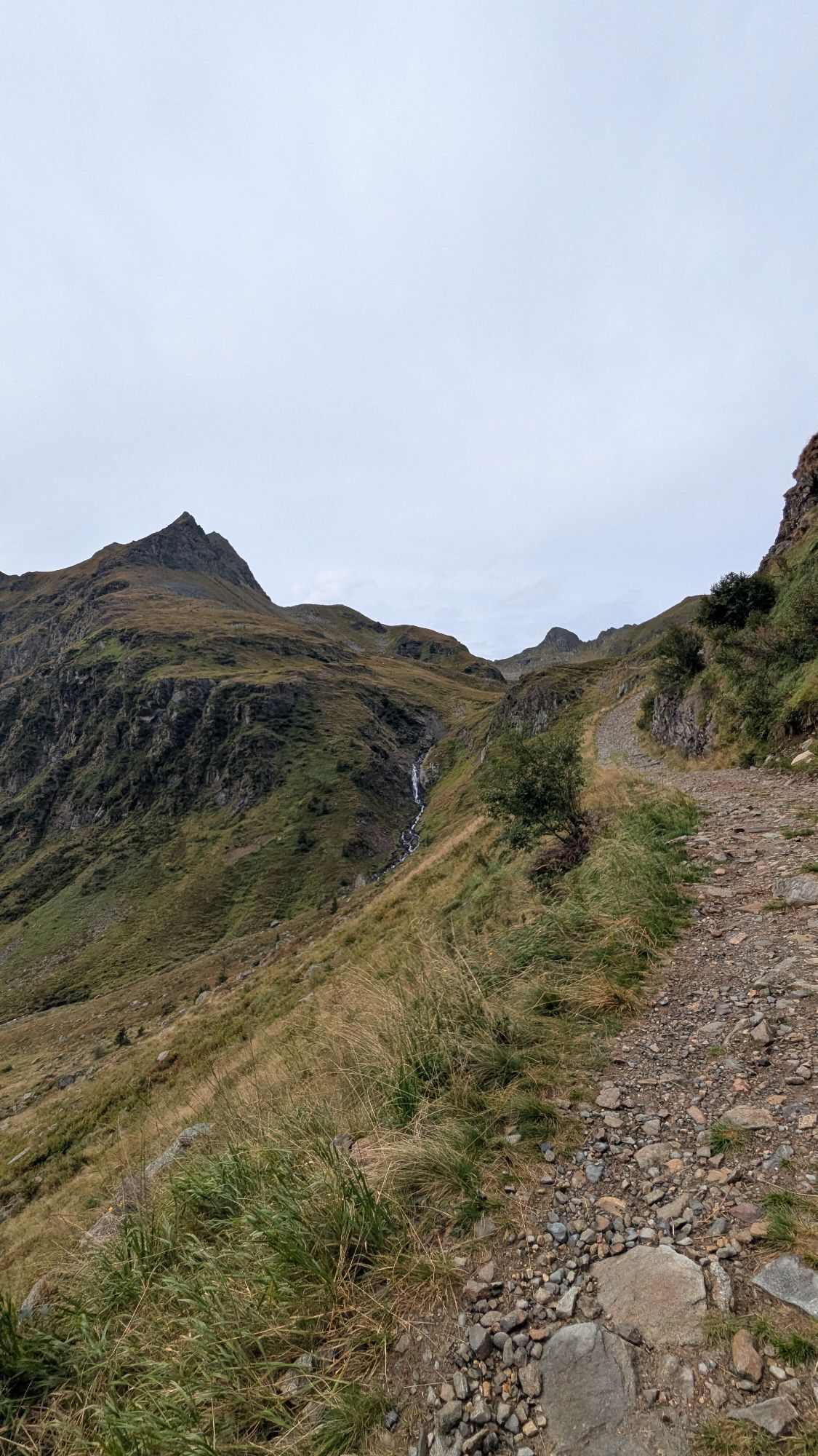
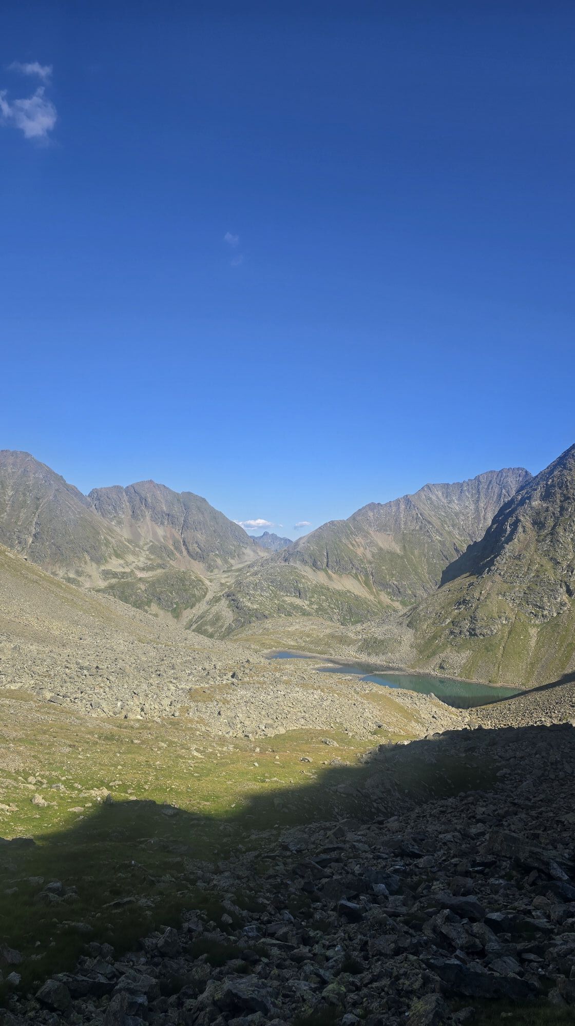
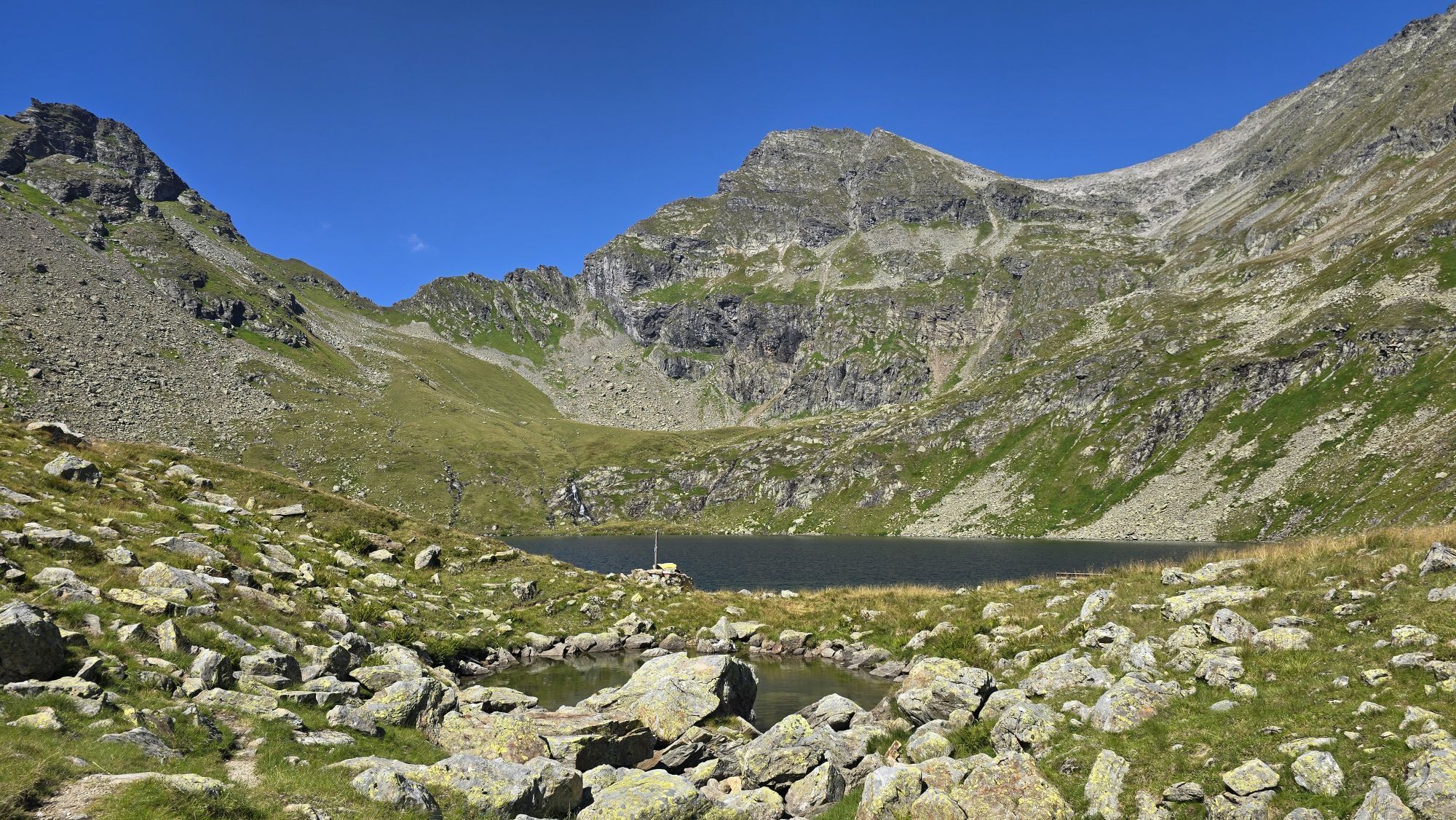
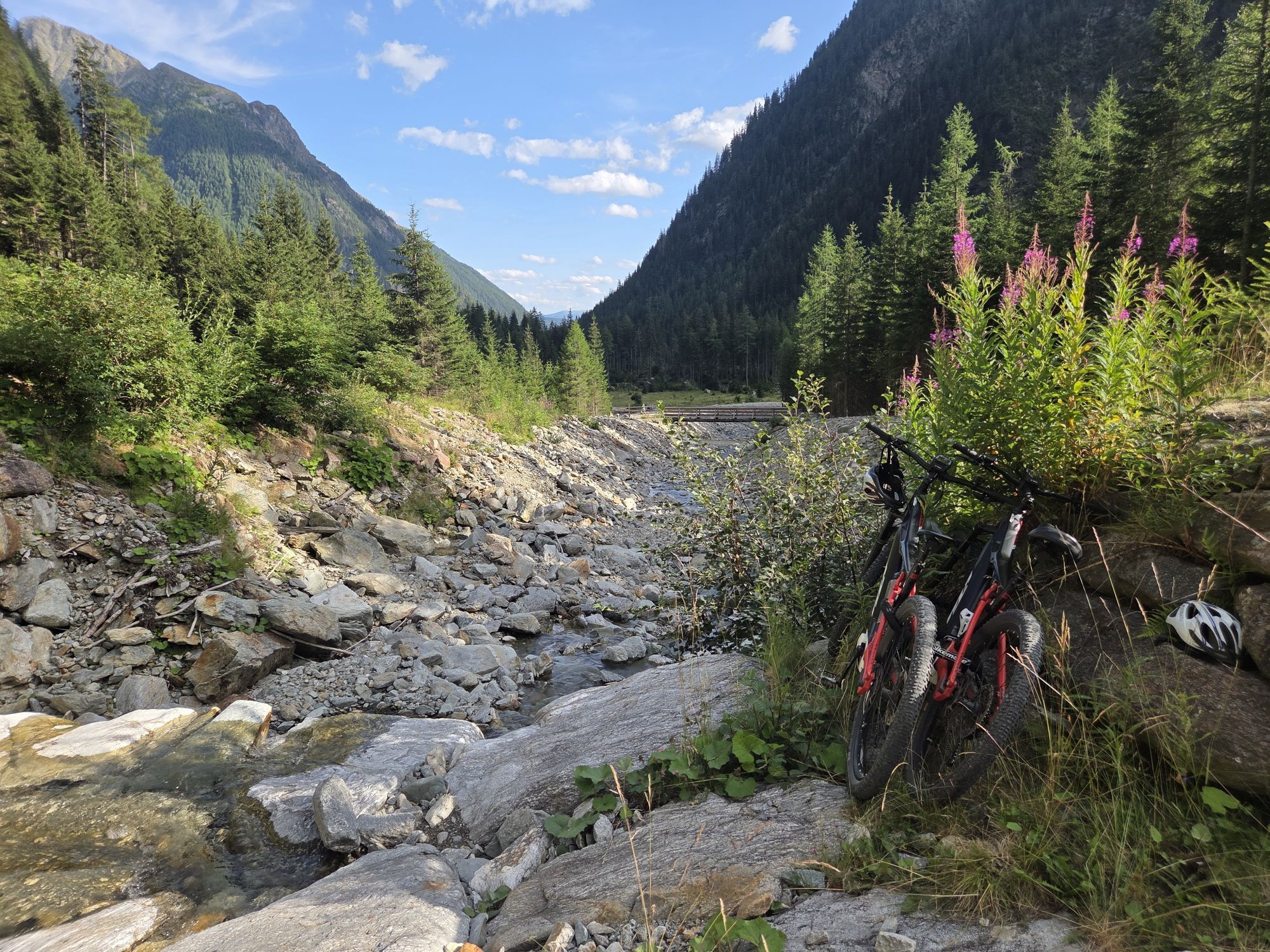
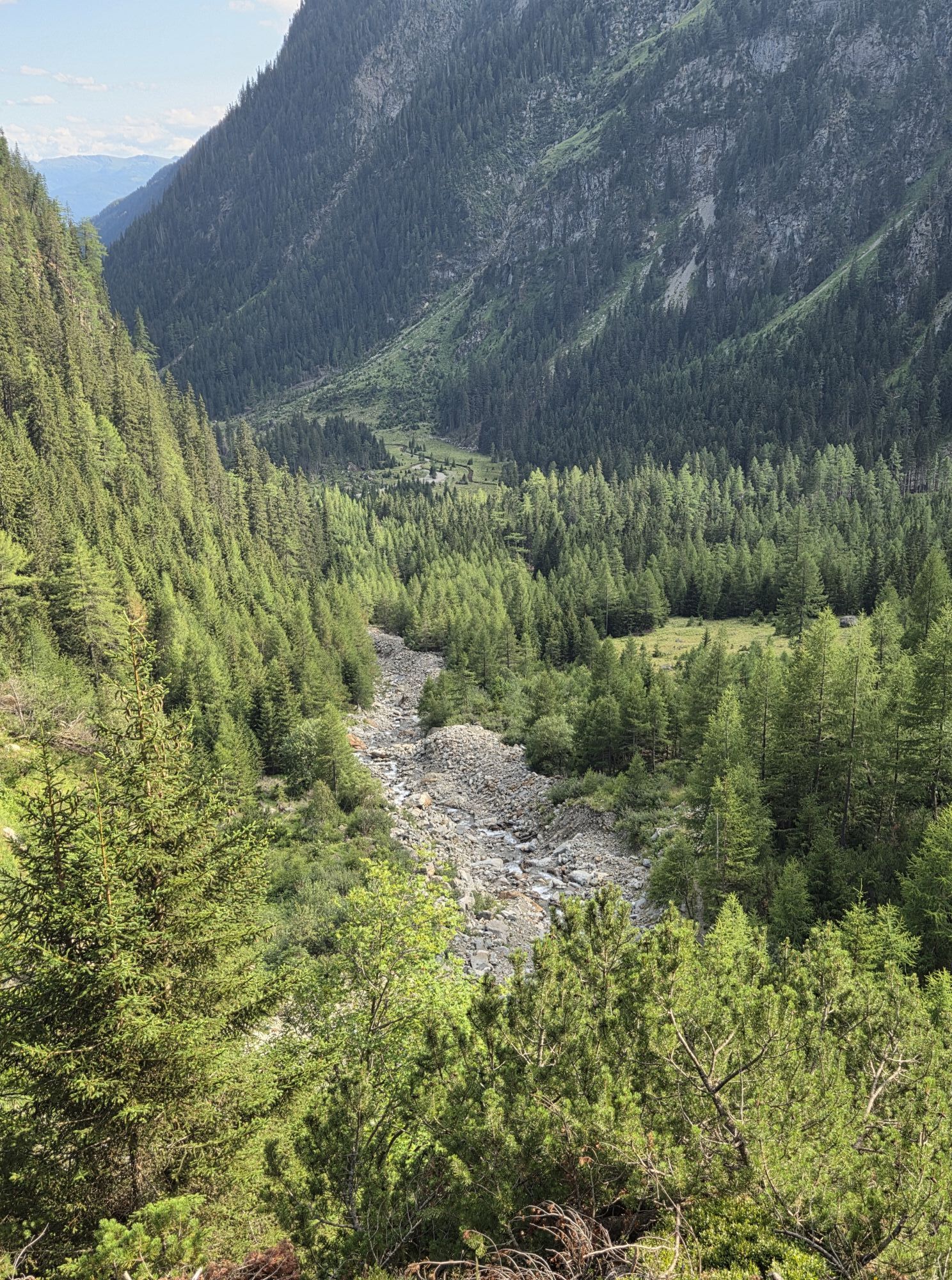
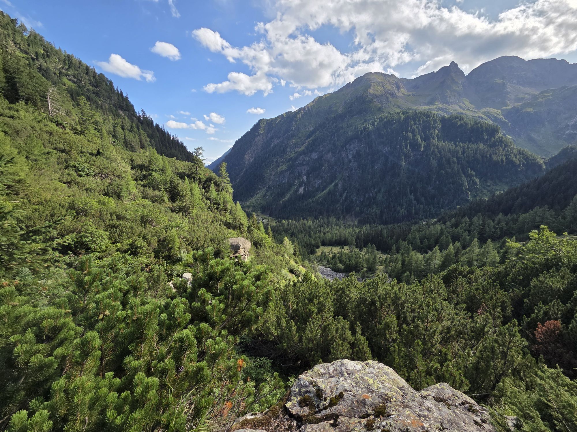
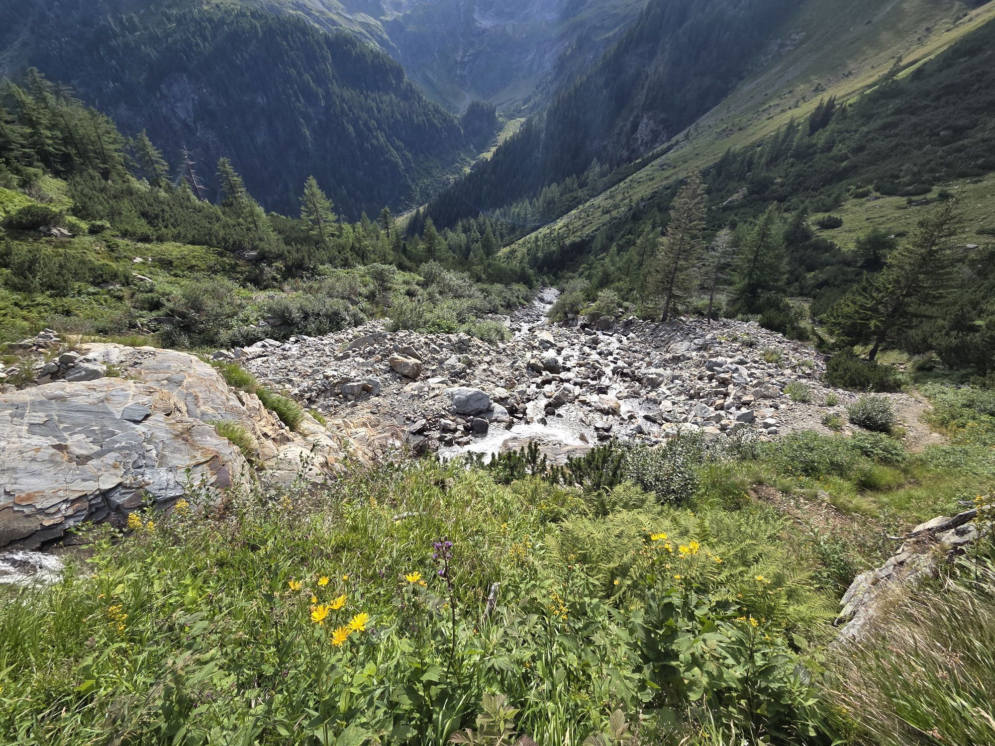
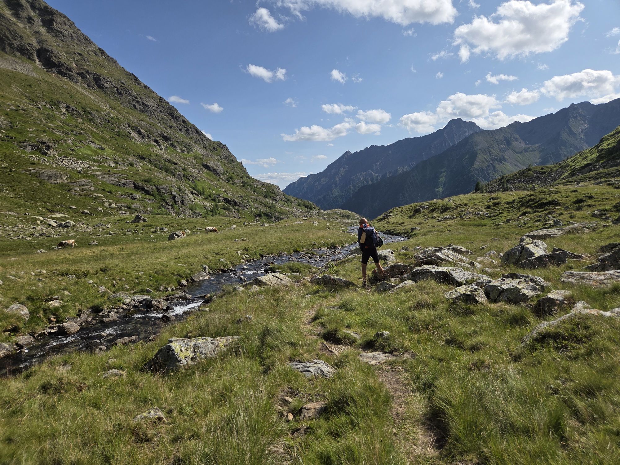
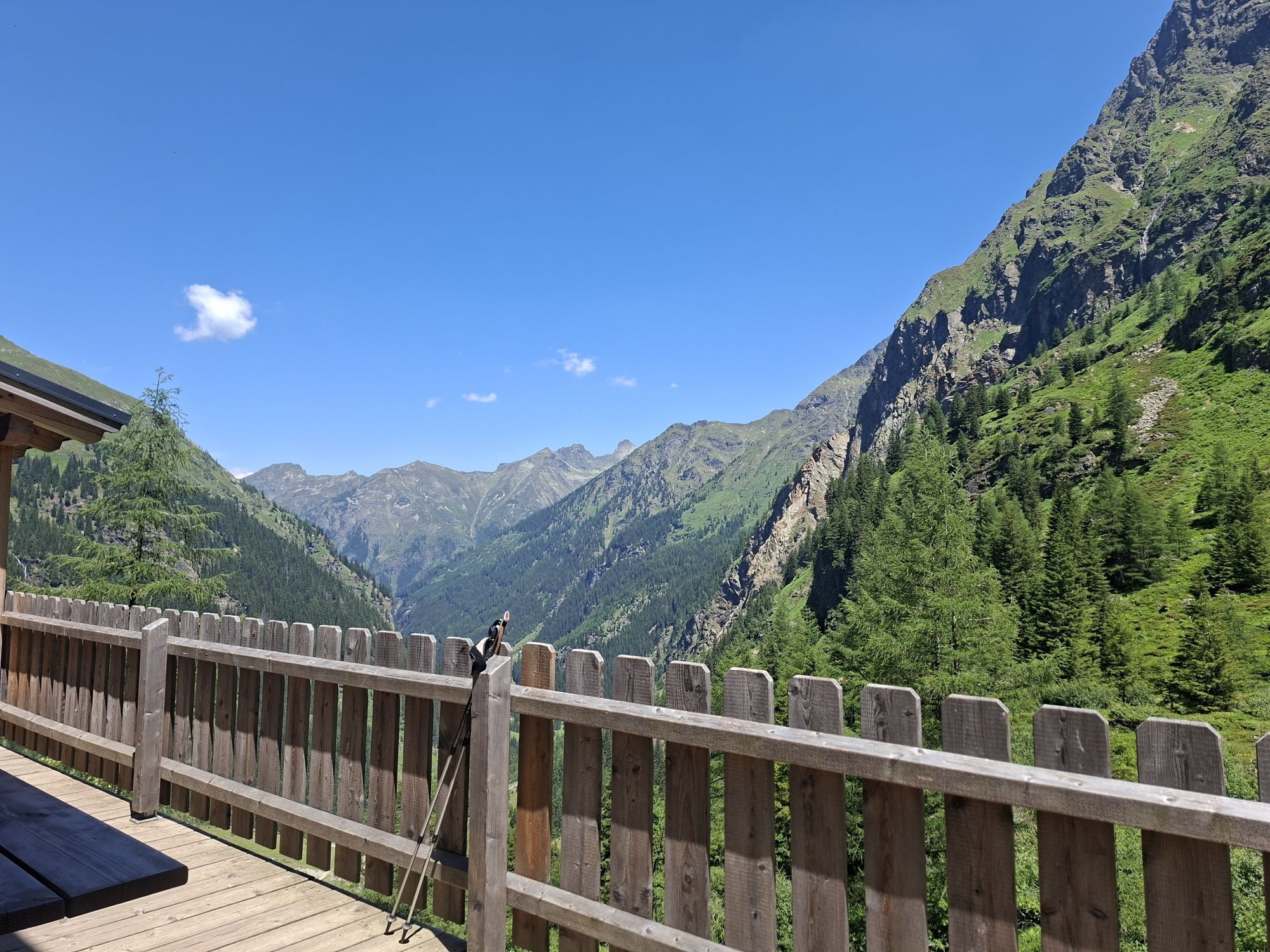
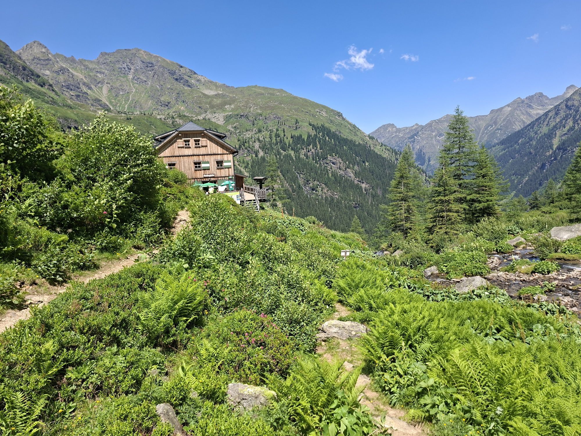
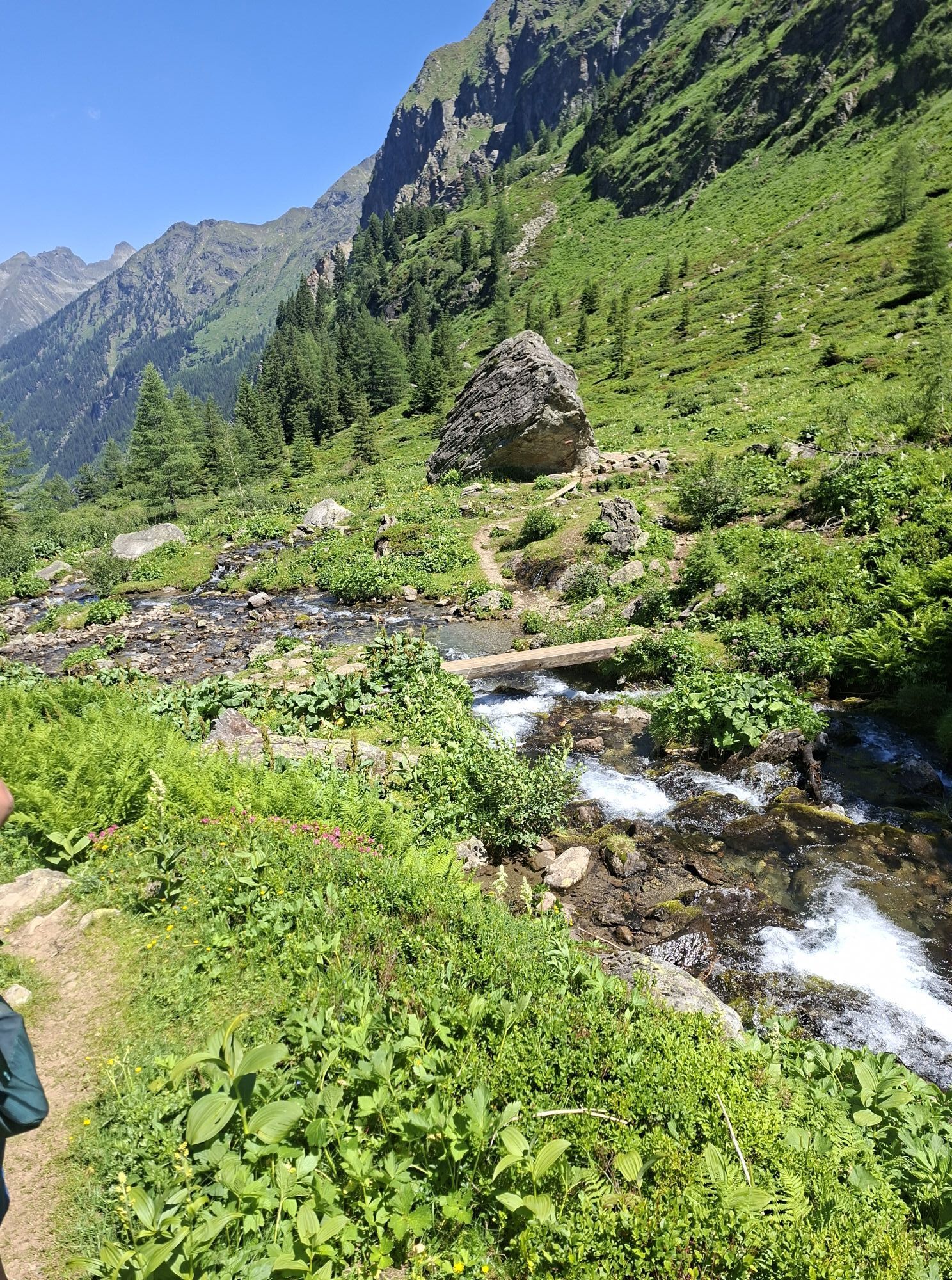
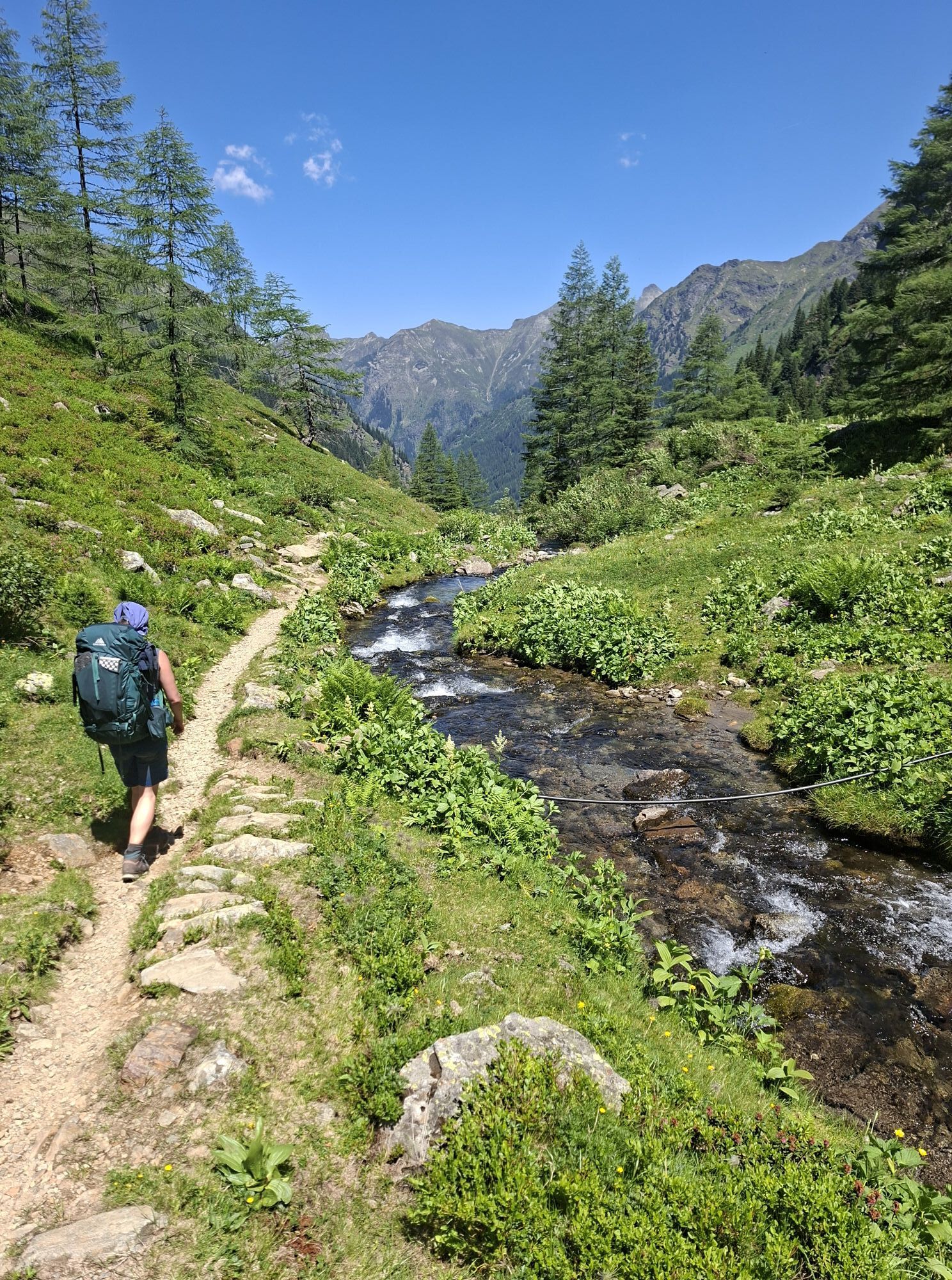
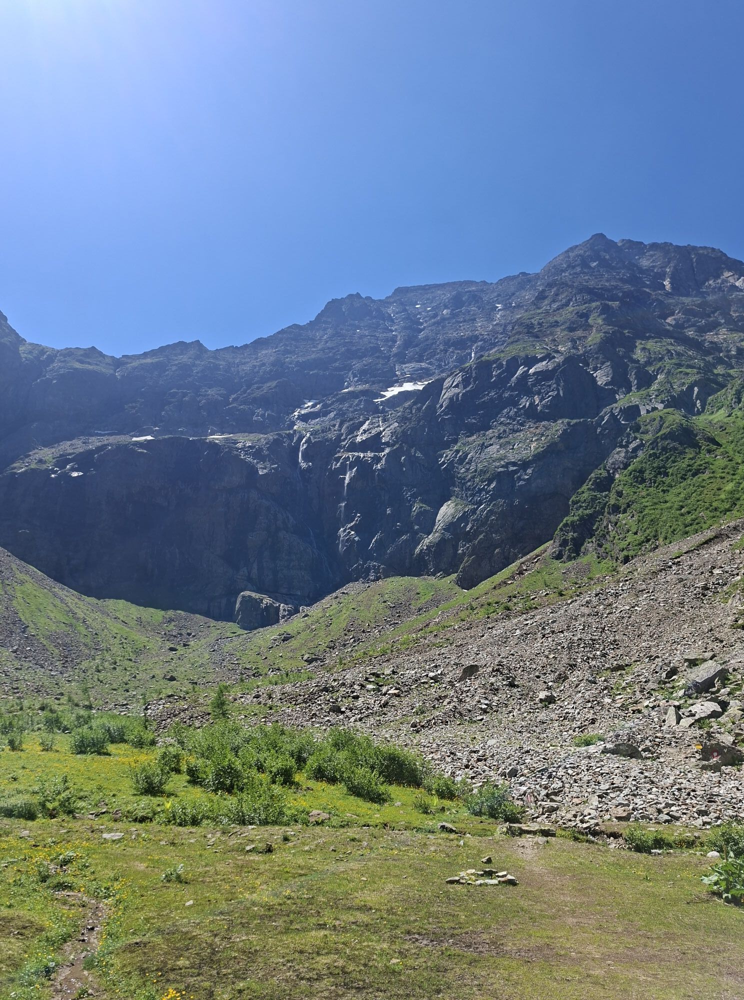

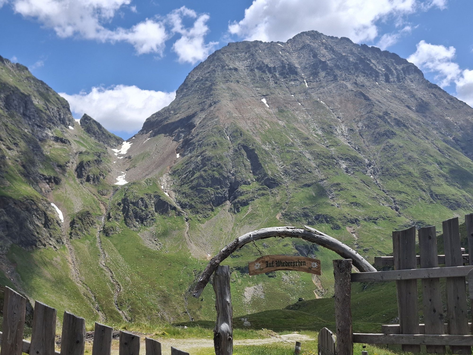
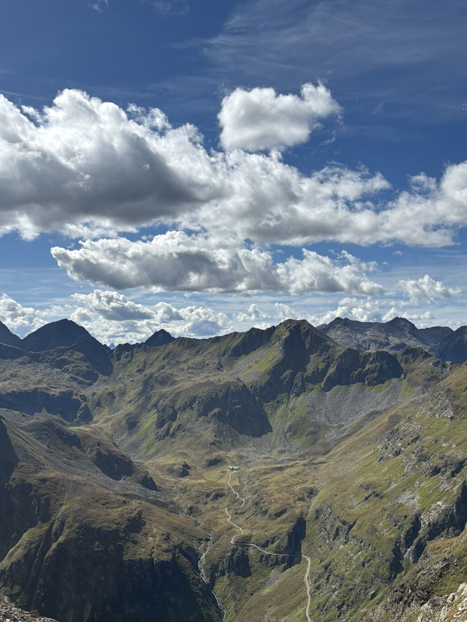
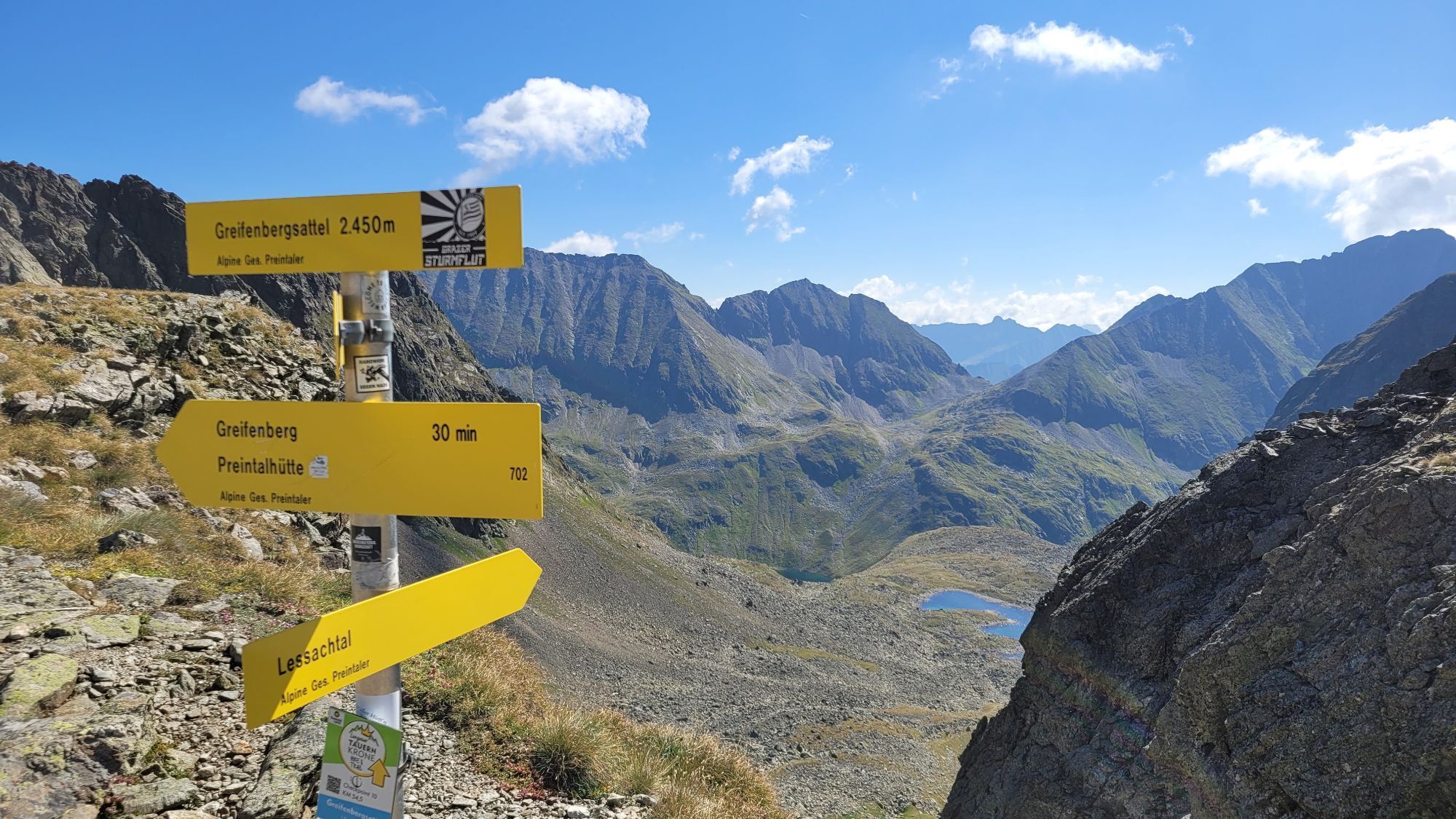
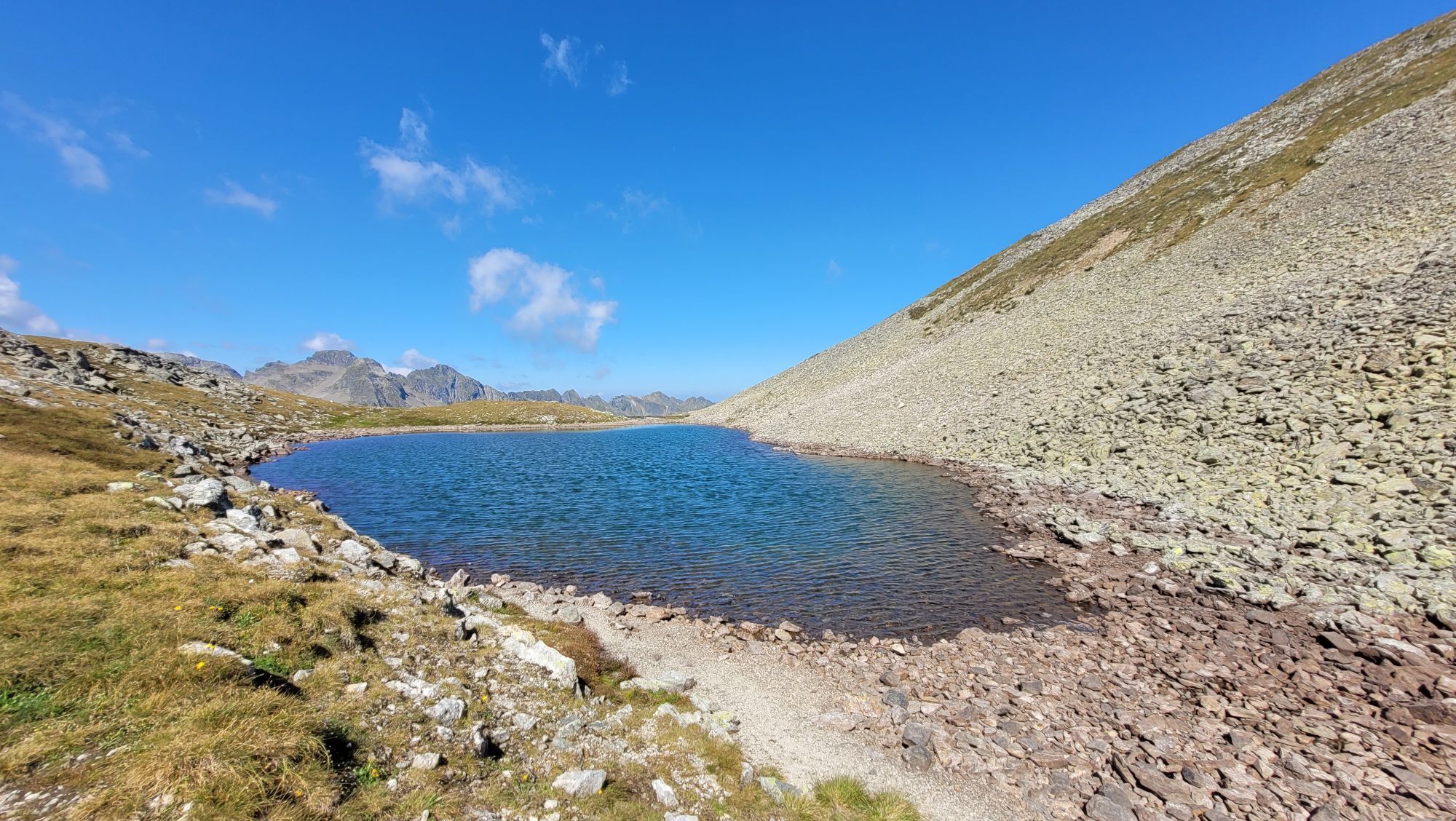
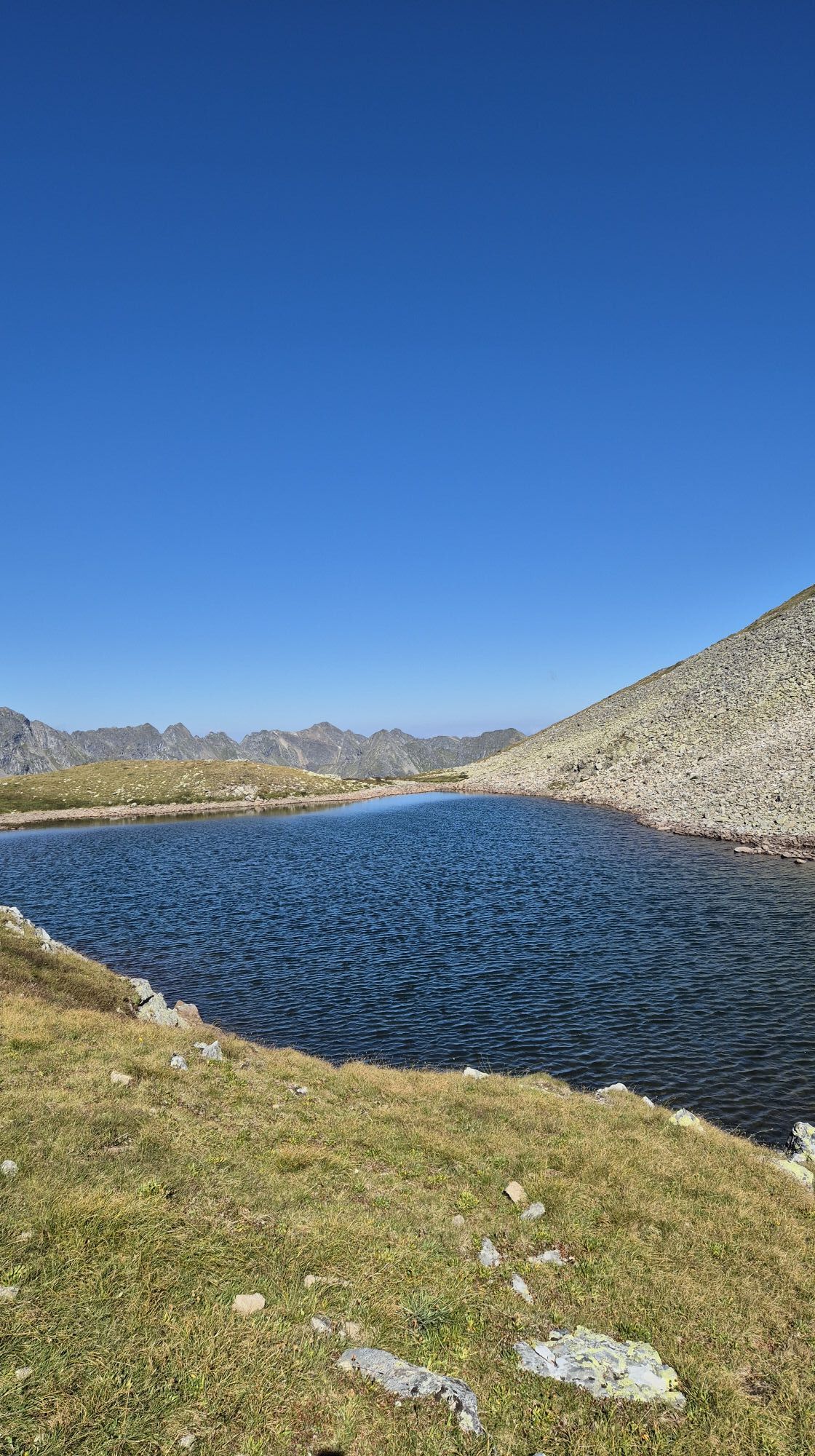
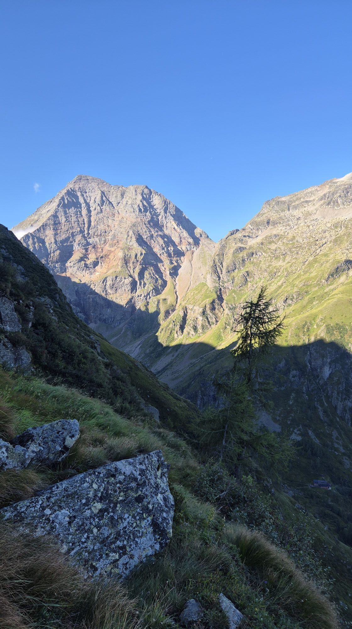
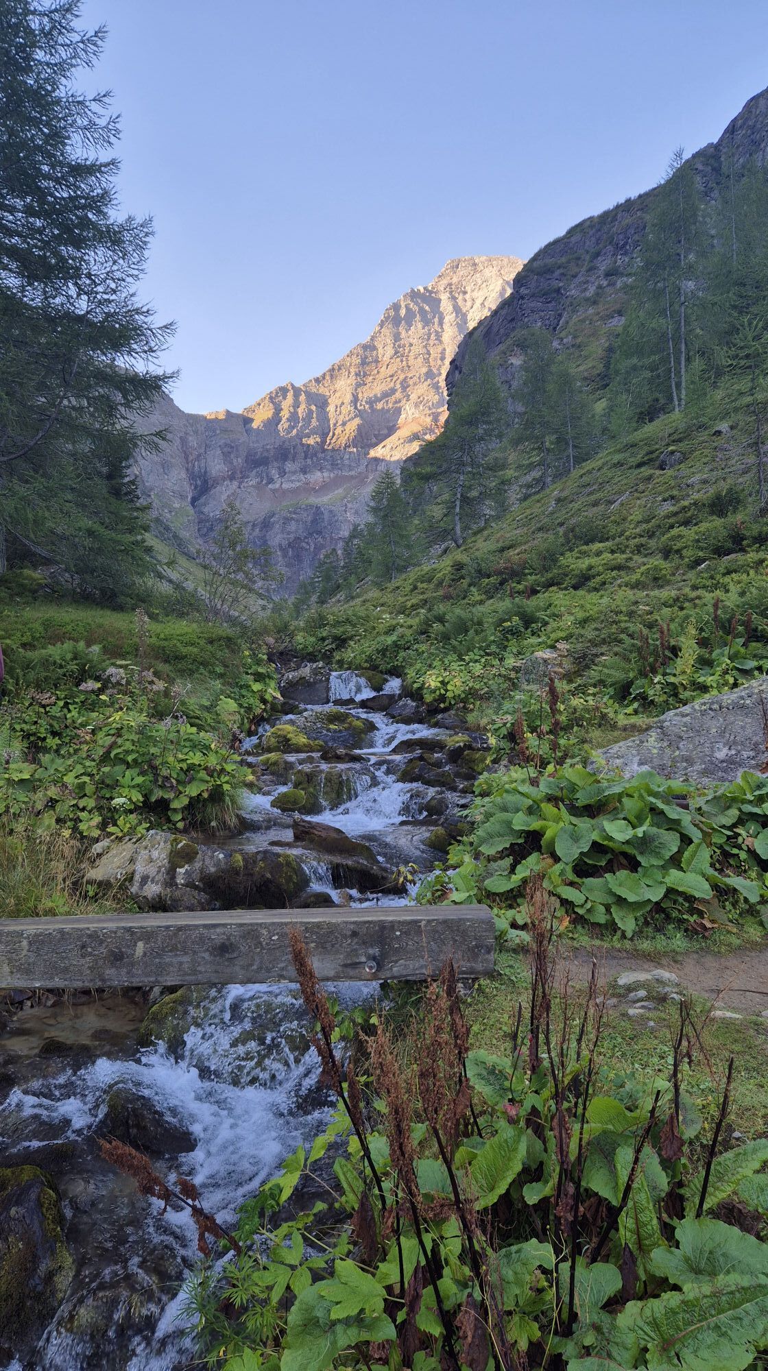
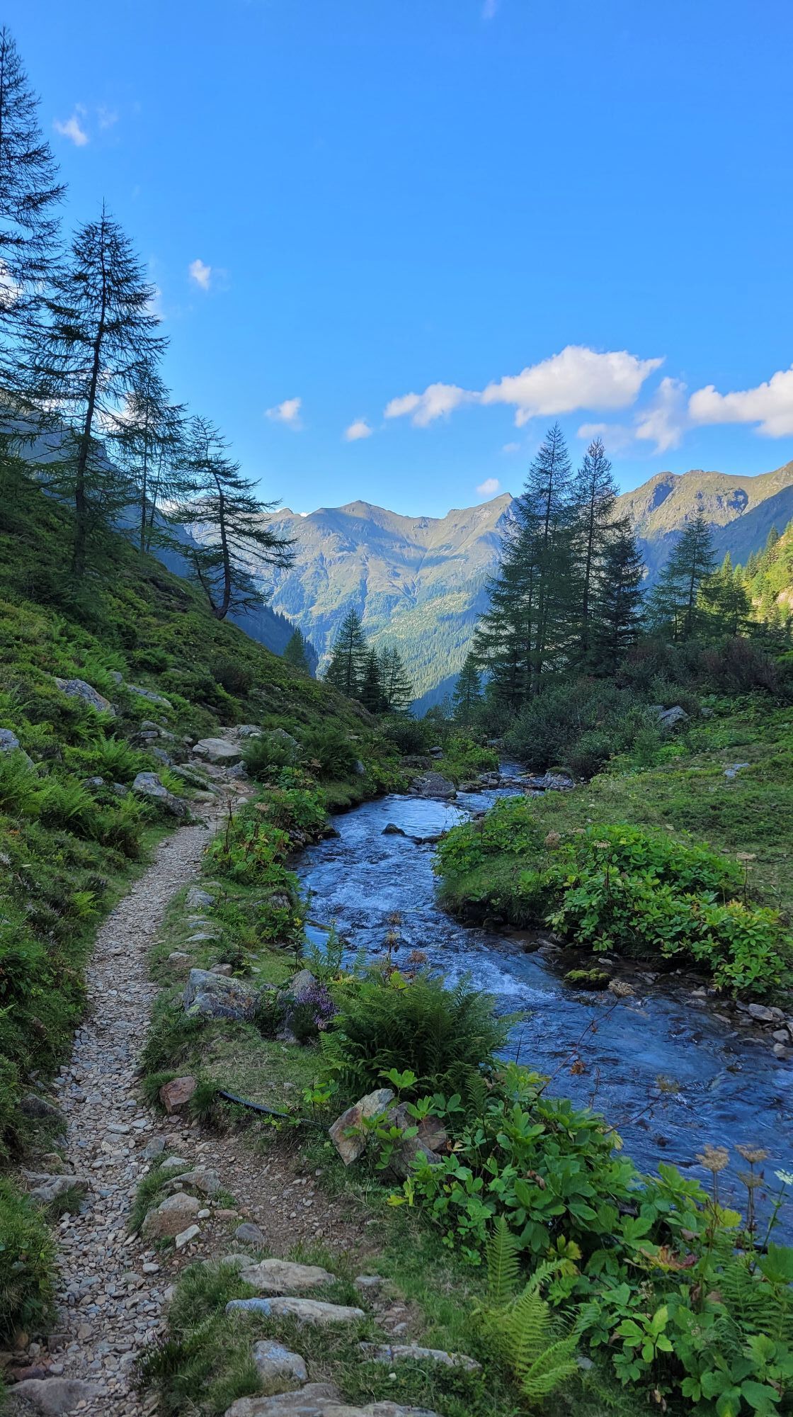
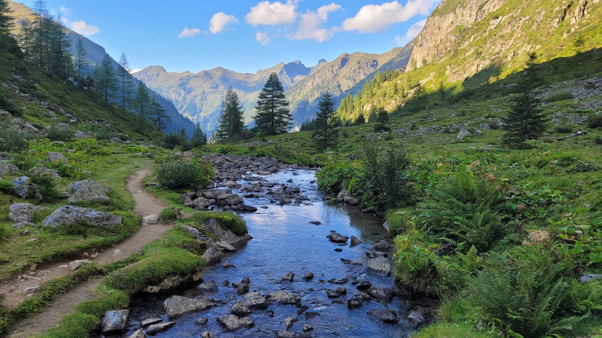
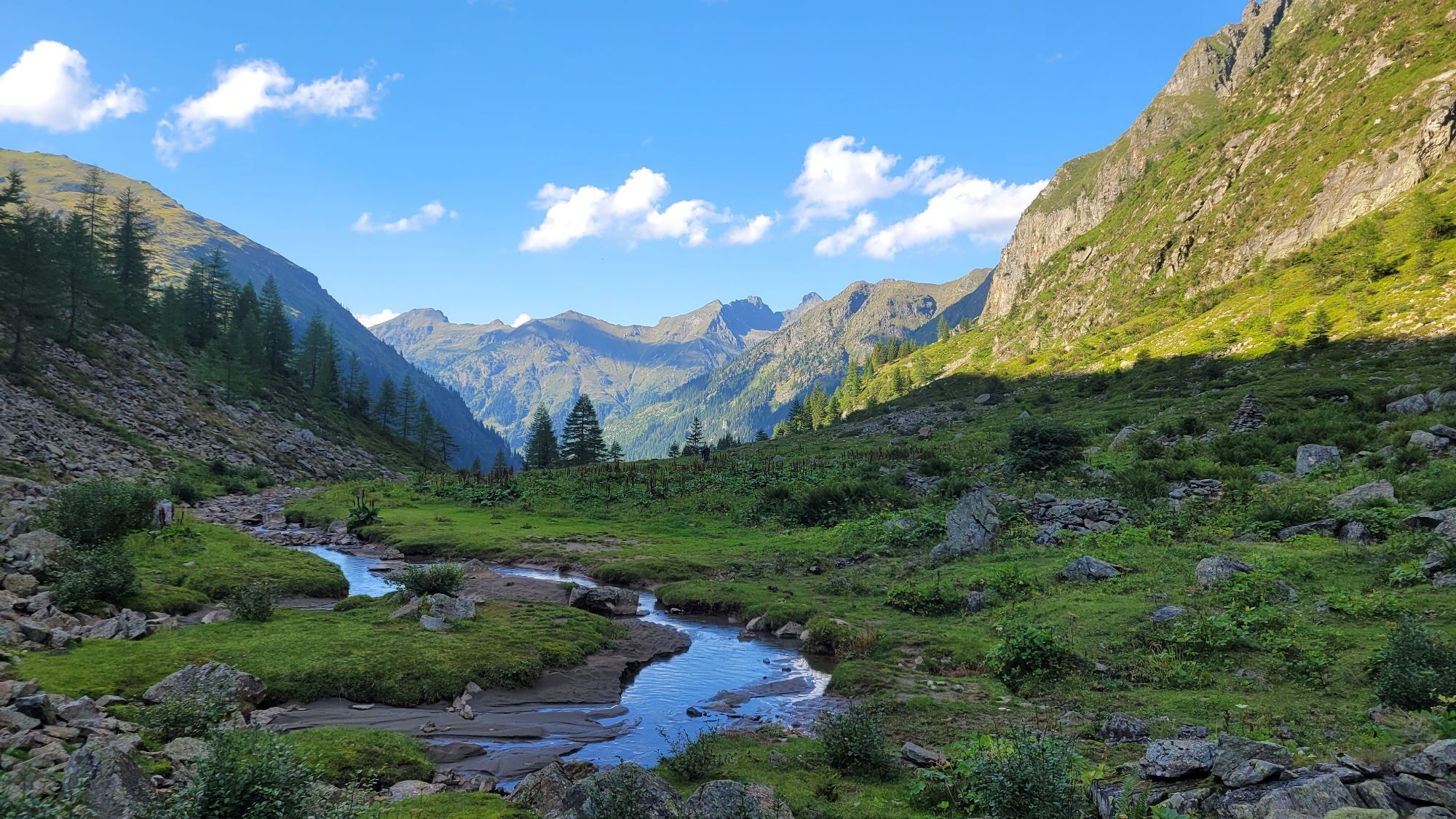
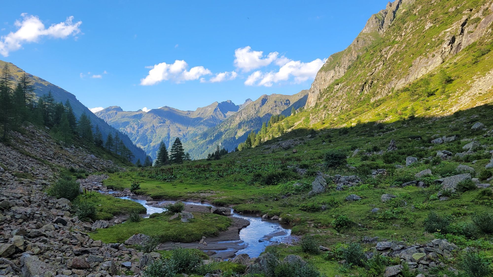
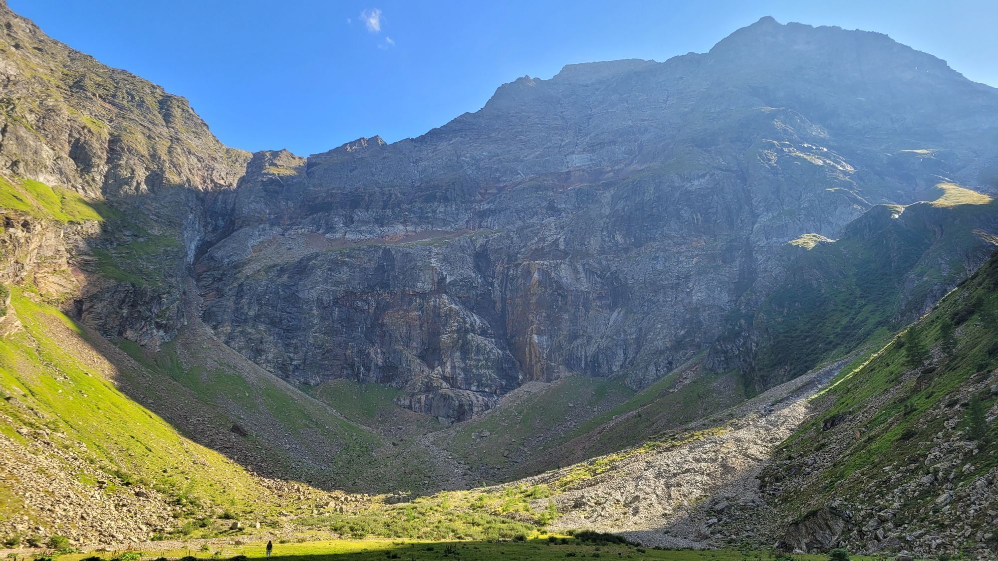
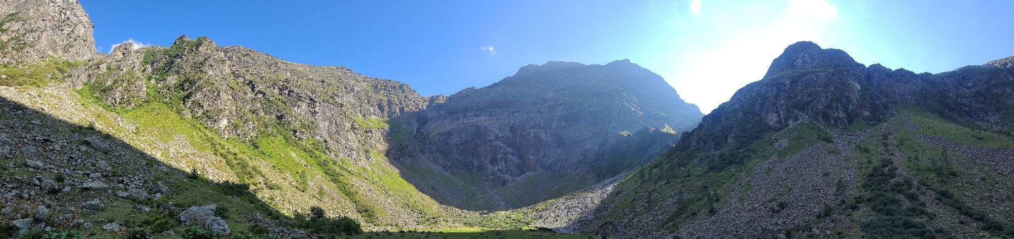
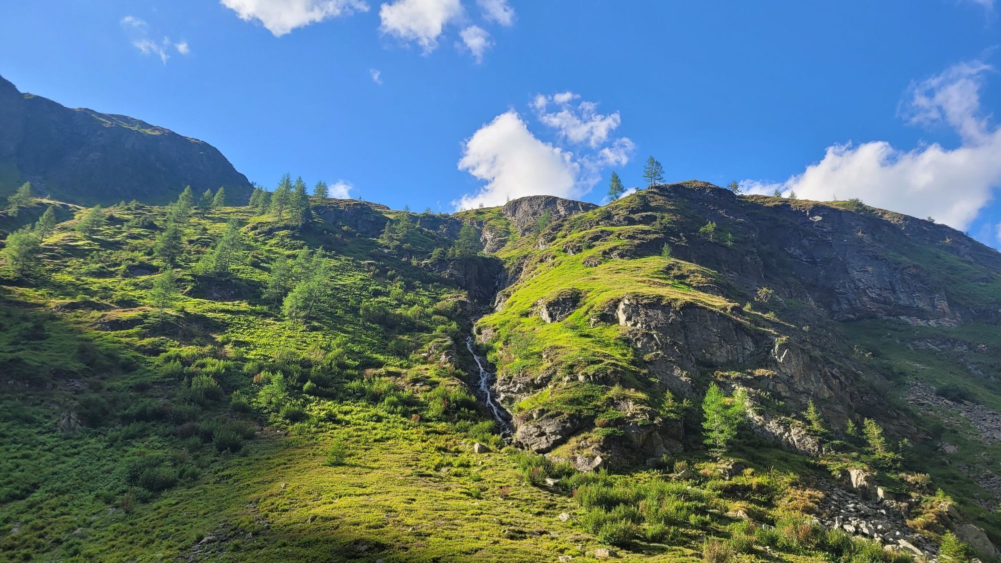
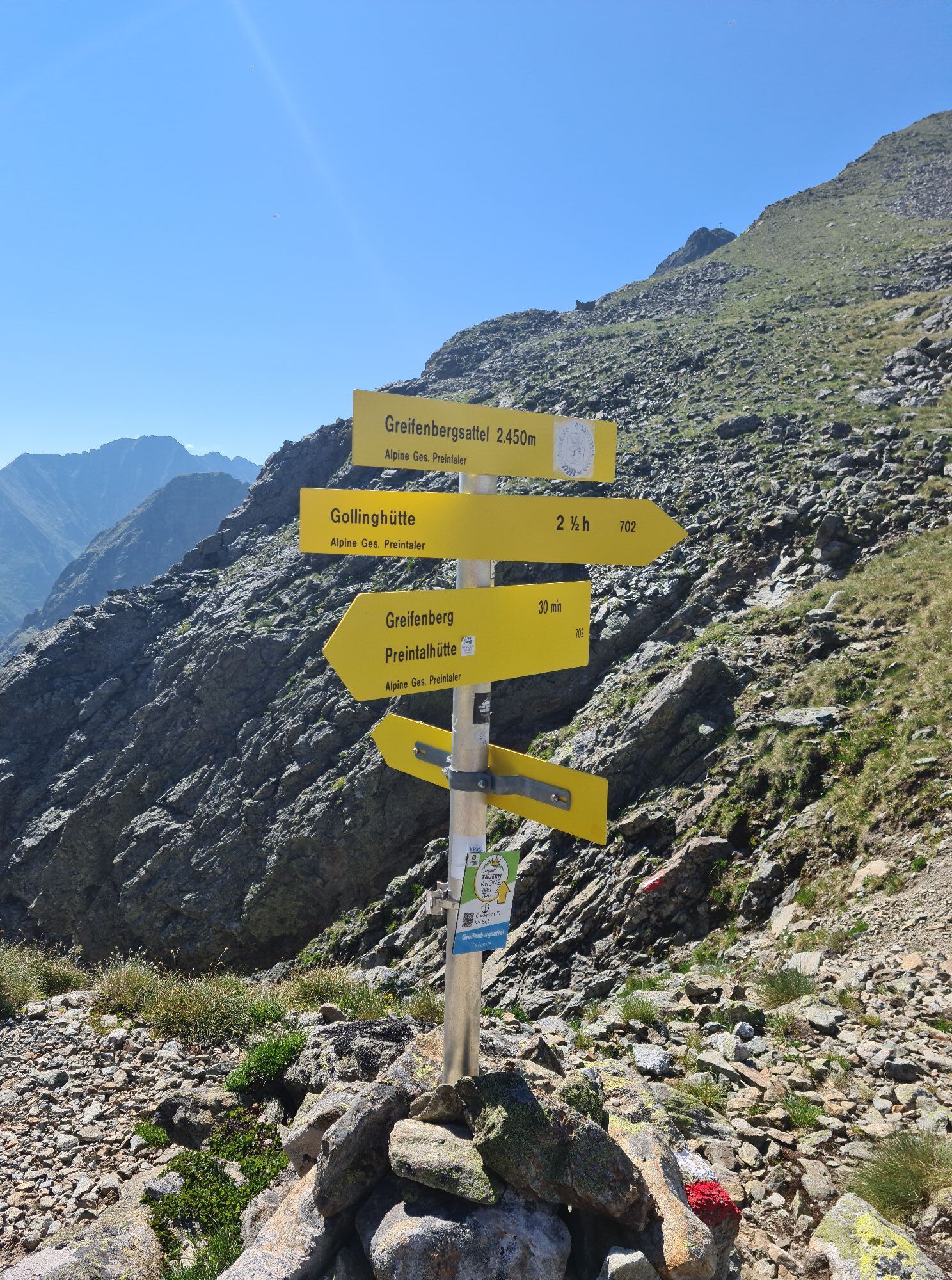
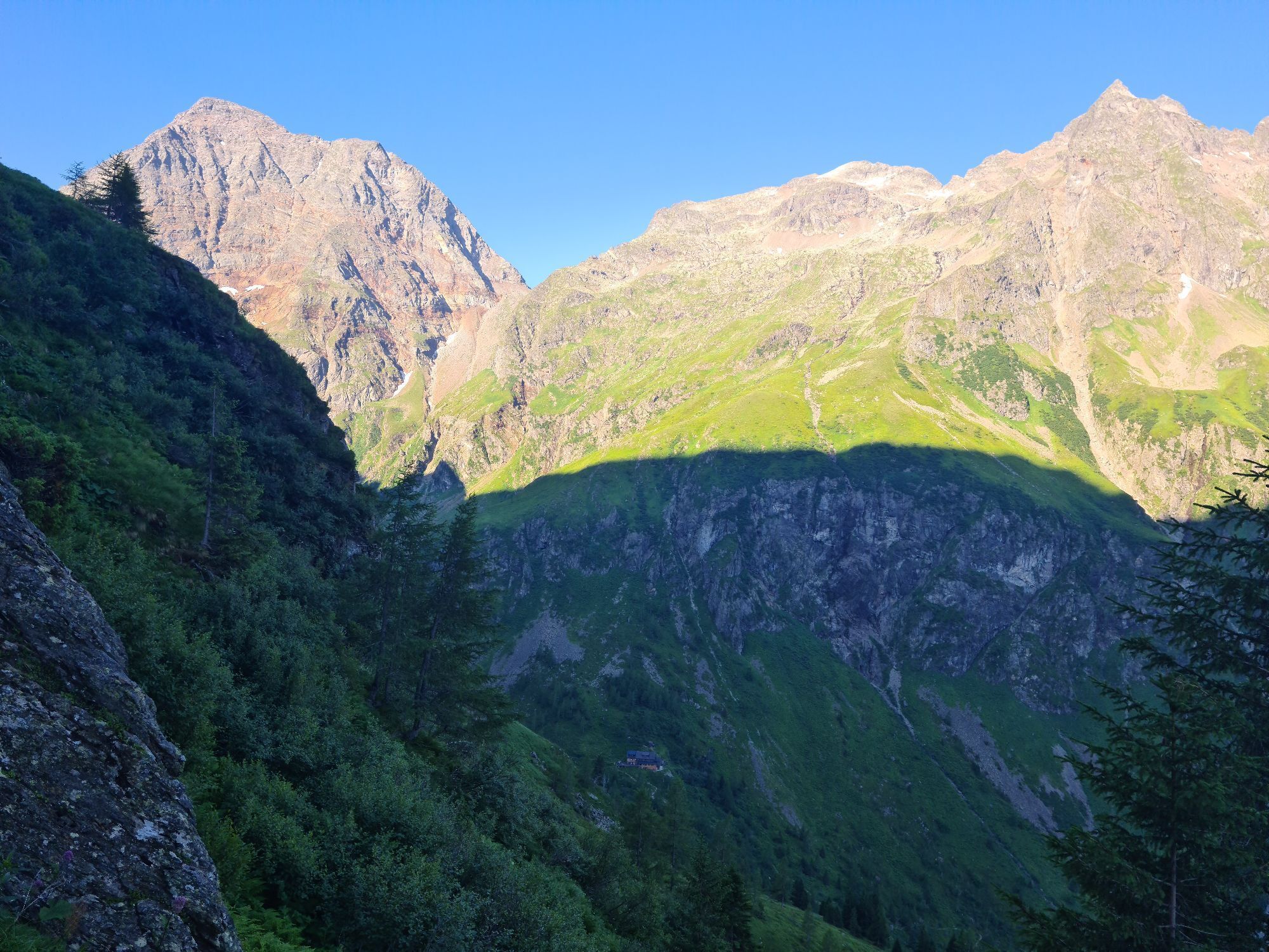
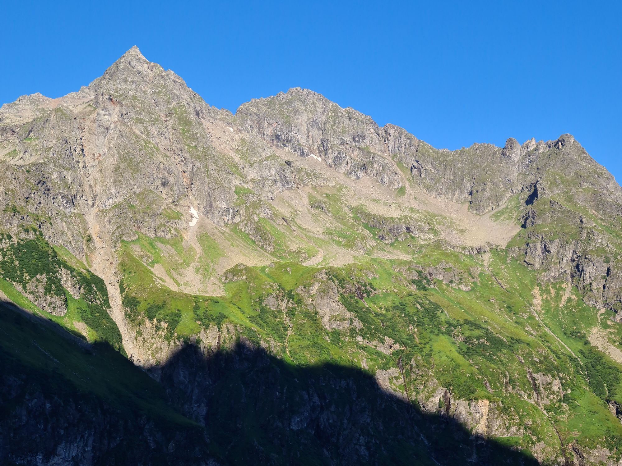
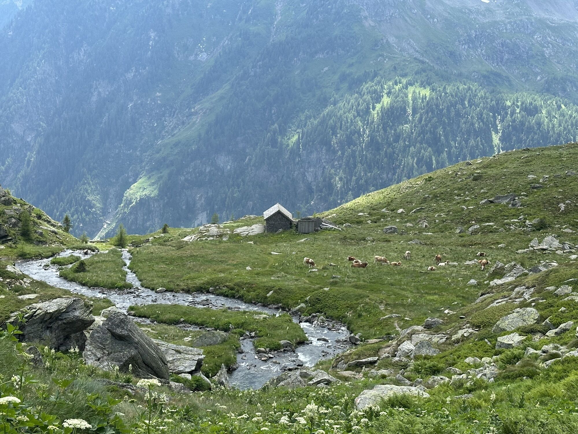
The fourth stage leads steeply up to the Gollingscharte, via the Gollingwinkel, where a secure footing is required on both sides.
The path from the rear valley floor to the Gollinghütte is easy, but a long...
Opis
The fourth stage leads steeply up to the Gollingscharte, via the Gollingwinkel, where a secure footing is required on both sides.
The path from the rear valley floor to the Gollinghütte is easy, but a long rest is recommended before the next ascent. From the Gollinghütte, a partly steep ascent of almost 1,000 meters in elevation up to the Greifenbergsattel is waiting. The detour to the Greifenberg is short and rewarding. The path down into the lower Lessachtal valley initially leads past the Lungauer Klaffersee and Zwerfenbergsee lakes, which are also perfect for a refreshing swim. Once you reach the lower Lessachtal, you have to plan another 3 kilometers to the Laßhoferalm. Please note that the Laßhoferalm does not offer overnight accommodation. Until September 10th you can use the hiking bus. This is a bus, which must be informed 2 hours before departure if it is needed, departure is at 15:55.
The path from the rear valley floor to the Gollinghütte is easy, but a long rest is recommended before the next ascent. From the Gollinghütte, a partly steep ascent of almost 1,000 meters in elevation up to the Greifenbergsattel is waiting. The detour to the Greifenberg is short and rewarding. The path down into the lower Lessachtal valley initially leads past the Lungauer Klaffersee and Zwerfenbergsee lakes, which are also perfect for a refreshing swim. Once you reach the lower Lessachtal, you have to plan another 3 kilometers to the Laßhoferalm. Please note that the Laßhoferalm does not offer overnight accommodation. Until September 10th you can use the hiking bus. This is a bus, which must be informed 2 hours before departure if it is needed, departure is at 15:55.
Trasa
Landawirseehütte
(1 985 m)
Úkryt
0,0 km
Gollingwinkel
(1 710 m)
Koridor/terén
4,2 km
Obere Steinwenderalm
(1 706 m)
Koridor/terén
4,3 km
Zwerfenbergalm
(1 906 m)
Koridor/terén
11,4 km
Jausenstation Laßhoferalm
(1 270 m)
Úkryt
15,8 km
Trasa
Stage 4
svetlo
Turistika
15,98
km
Landawirseehütte
(1 985 m)
Úkryt
0,0 km
Gollingwinkel
(1 710 m)
Koridor/terén
4,2 km
Obere Steinwenderalm
(1 706 m)
Koridor/terén
4,3 km
Zwerfenbergalm
(1 906 m)
Koridor/terén
11,4 km
Jausenstation Laßhoferalm
(1 270 m)
Úkryt
15,8 km


Naposledy sledované
pred týždňom

Zatiaľ žiadne recenzie
Aktivity počas prehliadky
-

Schladming, Steiermark/Österreich
26.08.2026 – Turistika -

Lessach, Salzburg/Österreich
13.08.2026 – Turistika -

Lessach, Salzburg/Österreich
13.08.2026 – Turistika -

Schladming, Steiermark/Österreich
27.06.2026 – Turistika -

Göriach, Salzburg/Austria
18.09.2025 – Turistika -

Zwerfenbergsee
19.08.2025 – Turistika -

Lessach Wandern
30.08.2024 – Horská turistika -

Göriach, Salzburg/Österreich
10.08.2024 – Turistika -
Zwerfenbergsee
15.08.2023 – Iné -
Lessach Wandern
30.08.2022 – Iné -
Lessach Wandern
12.08.2020 – Iné
Obľúbené výlety v okolí
-
4,4
Landawirseehütte (1.985 m)
strednáTuristika 5,39 km -
4,2
Drei-Seen-Wanderung (Steirischer Bodensee - Hüttensee - Obersee)
strednáTuristika 4,29 km -
4,7
Schladming - Hochgolling
ťažkéTuristika 20,6 km -
4,2
Preber summit hike
strednáTuristika 14,9 km -
4,8
Steirische und Lungauer Kalkspitze über das Kranzl
ťažkéTuristika 11,2 km -
4,8
4-Jahreszeiten Wanderweg
strednáZimná turistika 5,94 km -
4,7
Planai Runde | 304
strednáMountainbike 34,1 km -
4,7
Preintalerhütte über den Alpinsteig Höll
strednáTuristika 13,8 km -
4,7
Pleschnitzzinken
strednáTuristika 5,55 km -
4,7
WM-Pfad Planai
svetloTuristika 6,84 km
Turistika a stopovanie

Viac ako 550.000 návrhov výletov, podrobné mapy a intuitívny plánovač trás robia z aplikácie povinnú výbavu pre všetkých nadšencov prírody.

Nenechajte si ujsť ponuky a inšpiráciu na ďalšiu dovolenku
Prihlásiť sa k odberu noviniek
Chyba
Vyskytla sa chyba. Prosím, skúste to znova.
Ďakujeme za vašu registráciu
Vaša e-mailová adresa bol pridaný do poštového zoznamu.
Zájazdy po celej Európe
Rakúsko
Švajčiarsko
Nemecko
Taliansko
Slovinsko
Francúzsko
Holandsko
Belgicko
Poľsko
Lichtenštajnsko
Česko
Slovensko
španielsko
Hrvaška
Bosna a Hercegovina
Luxembursko
Andorra
Portugalsko
Island
Spojené kráľovstvo
Írsko
Grécko
Albánsko
Severné Macedónsko
Malta
Nórsko
Čierna Hora
Moldavsko
Kosovo
Maďarsko
San Maríno
Rumunsko
Estónsko
Lotyšsko
Bielorusko
Cyprus
Litva
Srbsko
Bulharsko
Monako
Dánsko
Švédsko
Fínsko





