






From Grödig-Glanegg over the Schellenberger Sattel to the Toni-Lenz-Hütte
Úroveň náročnosti: T3
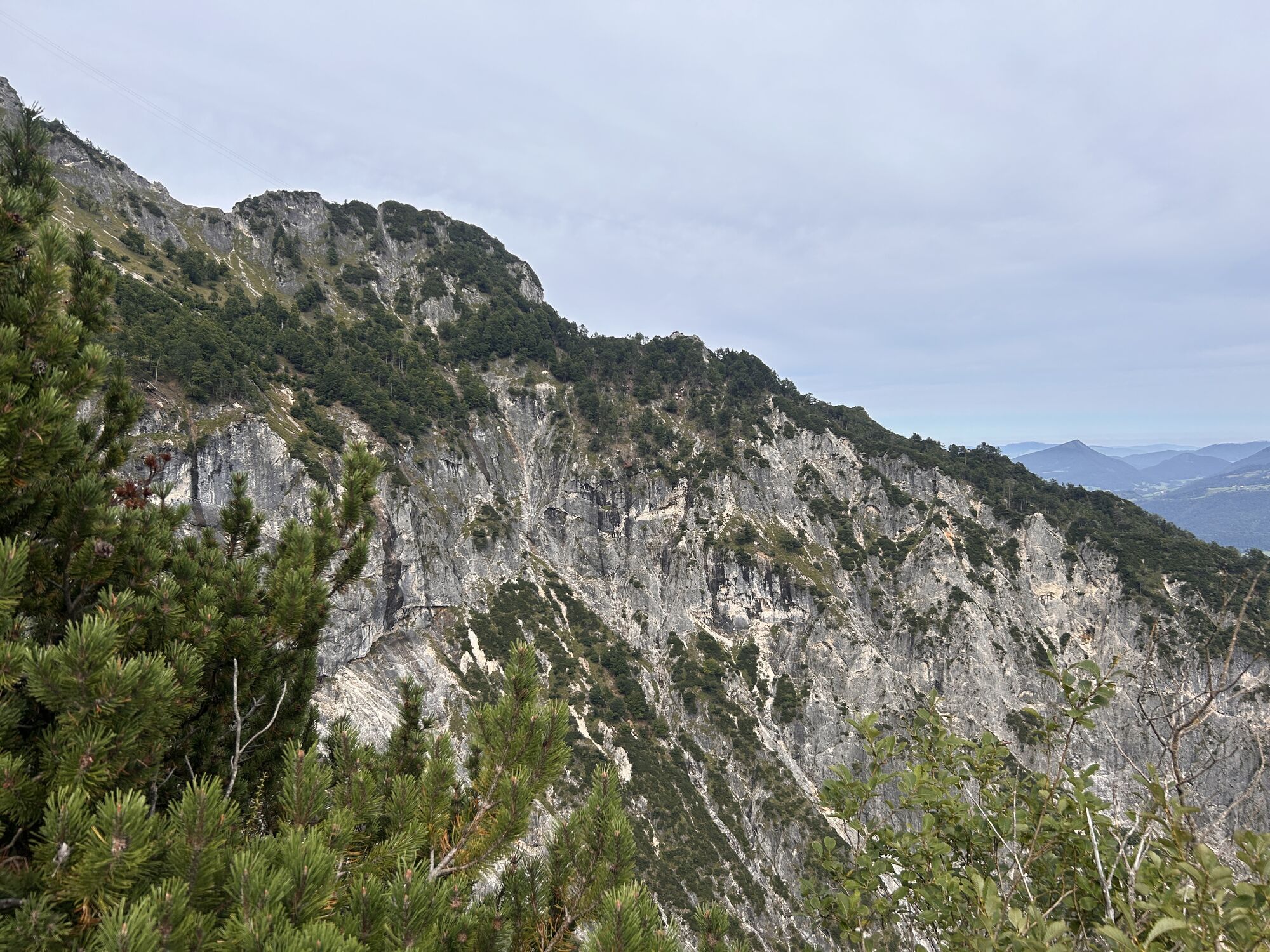
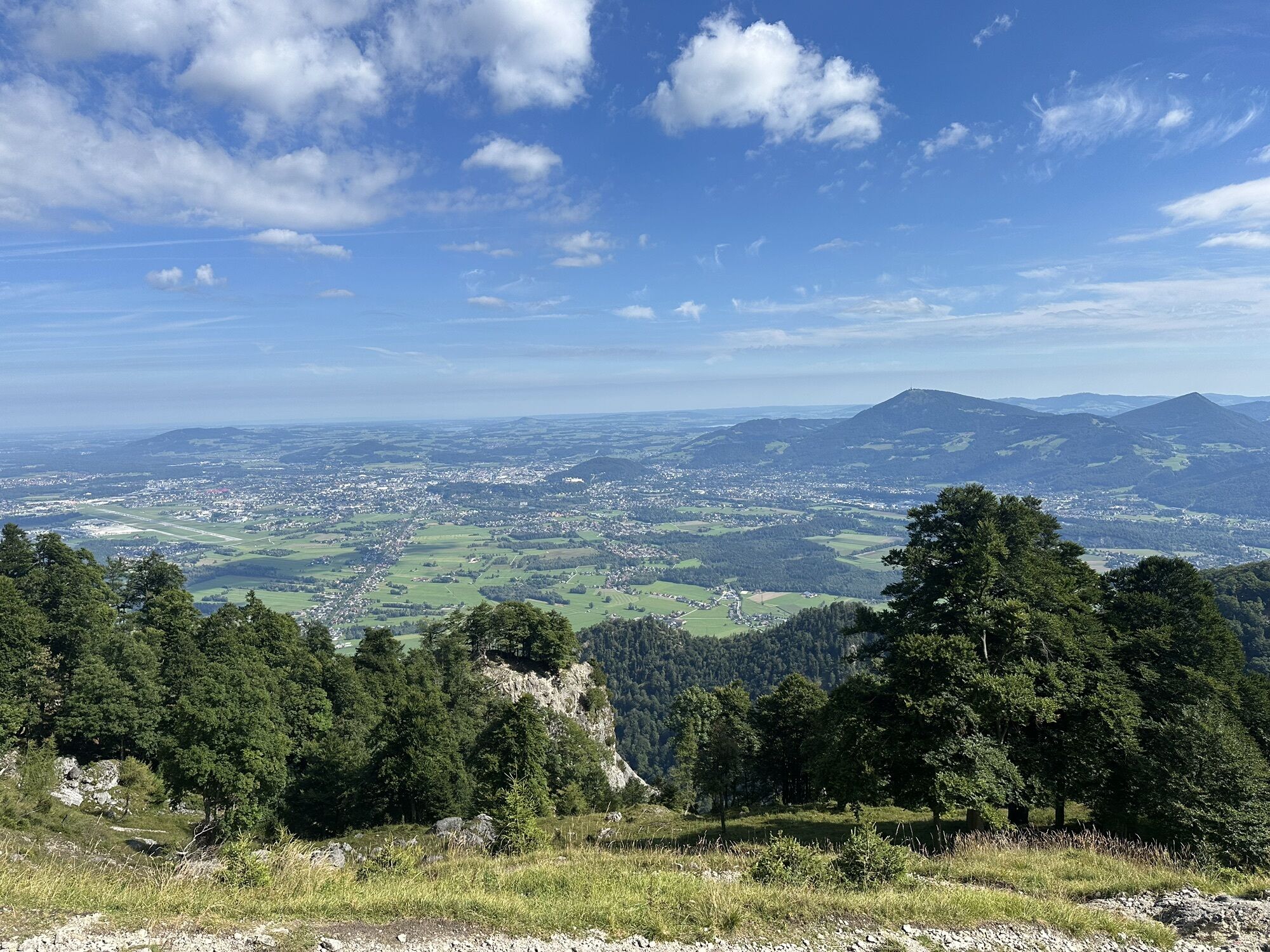
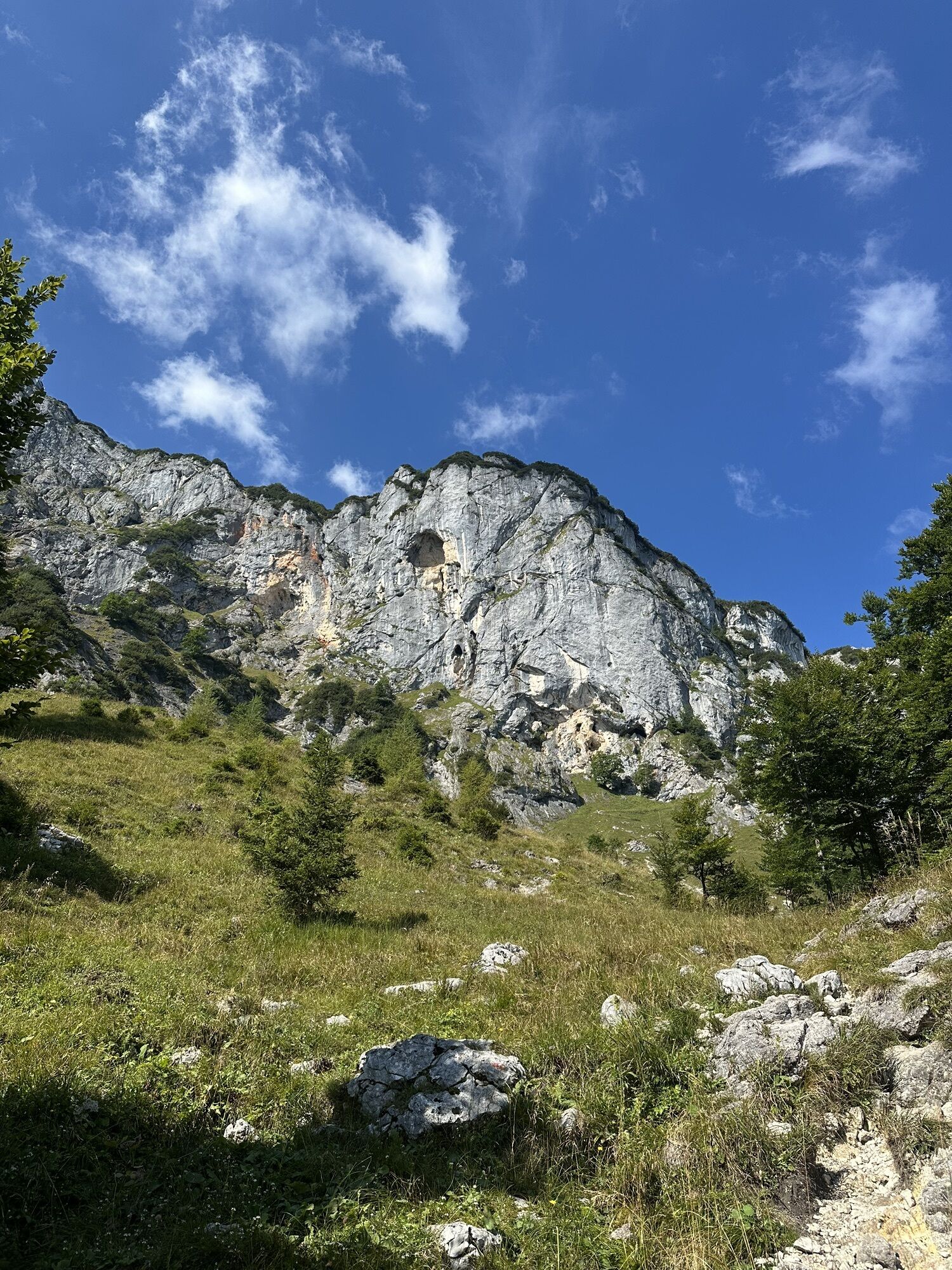
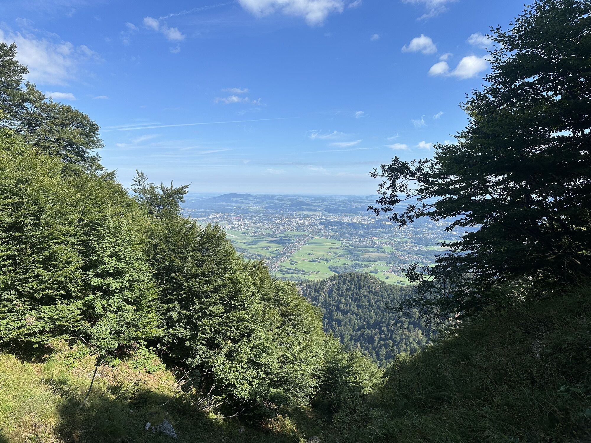
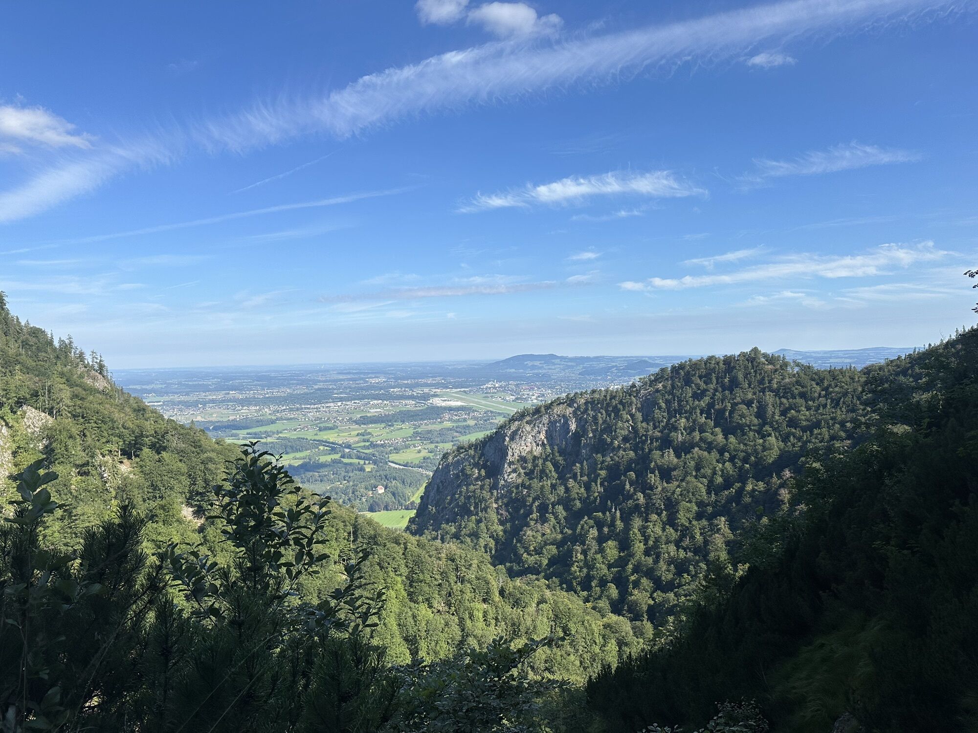
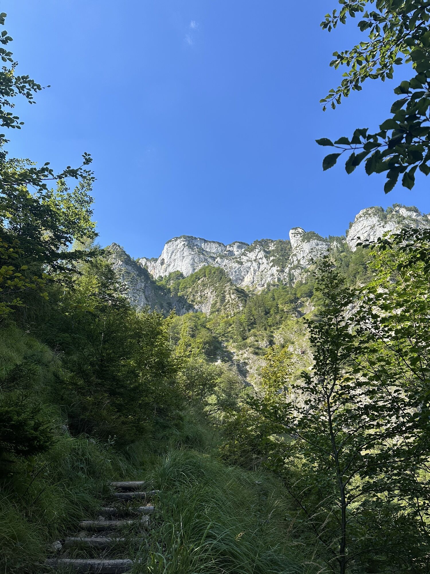
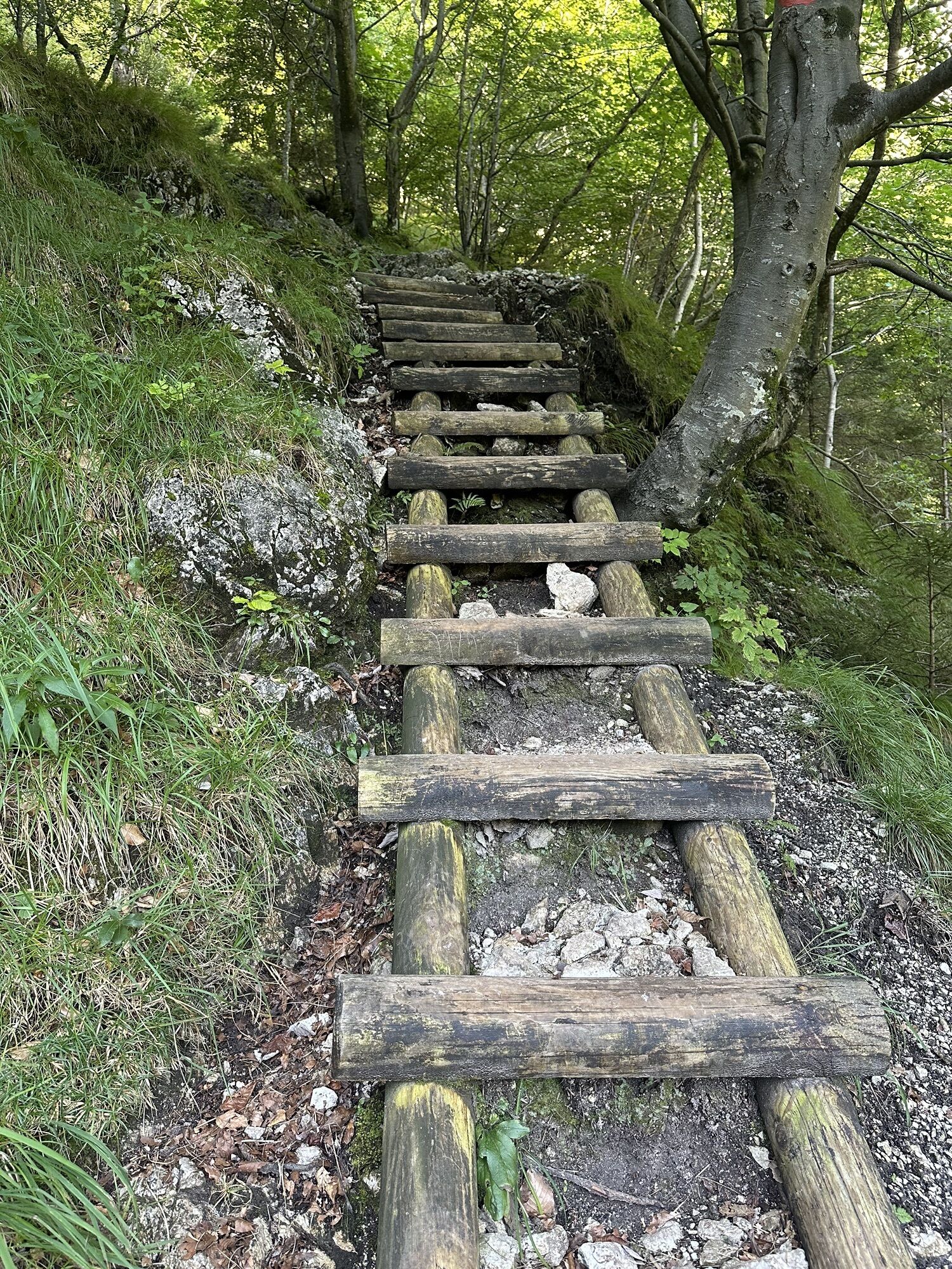
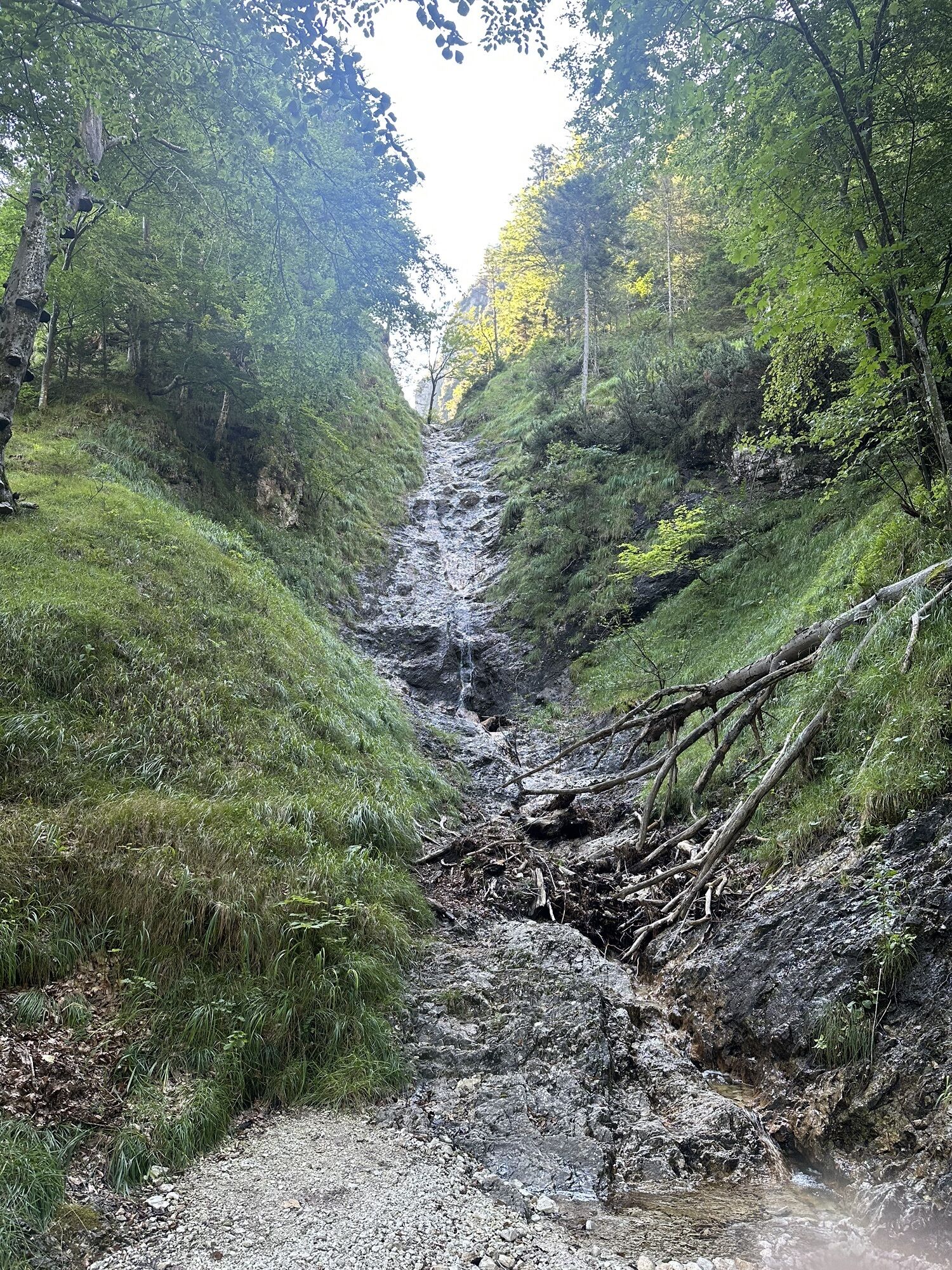
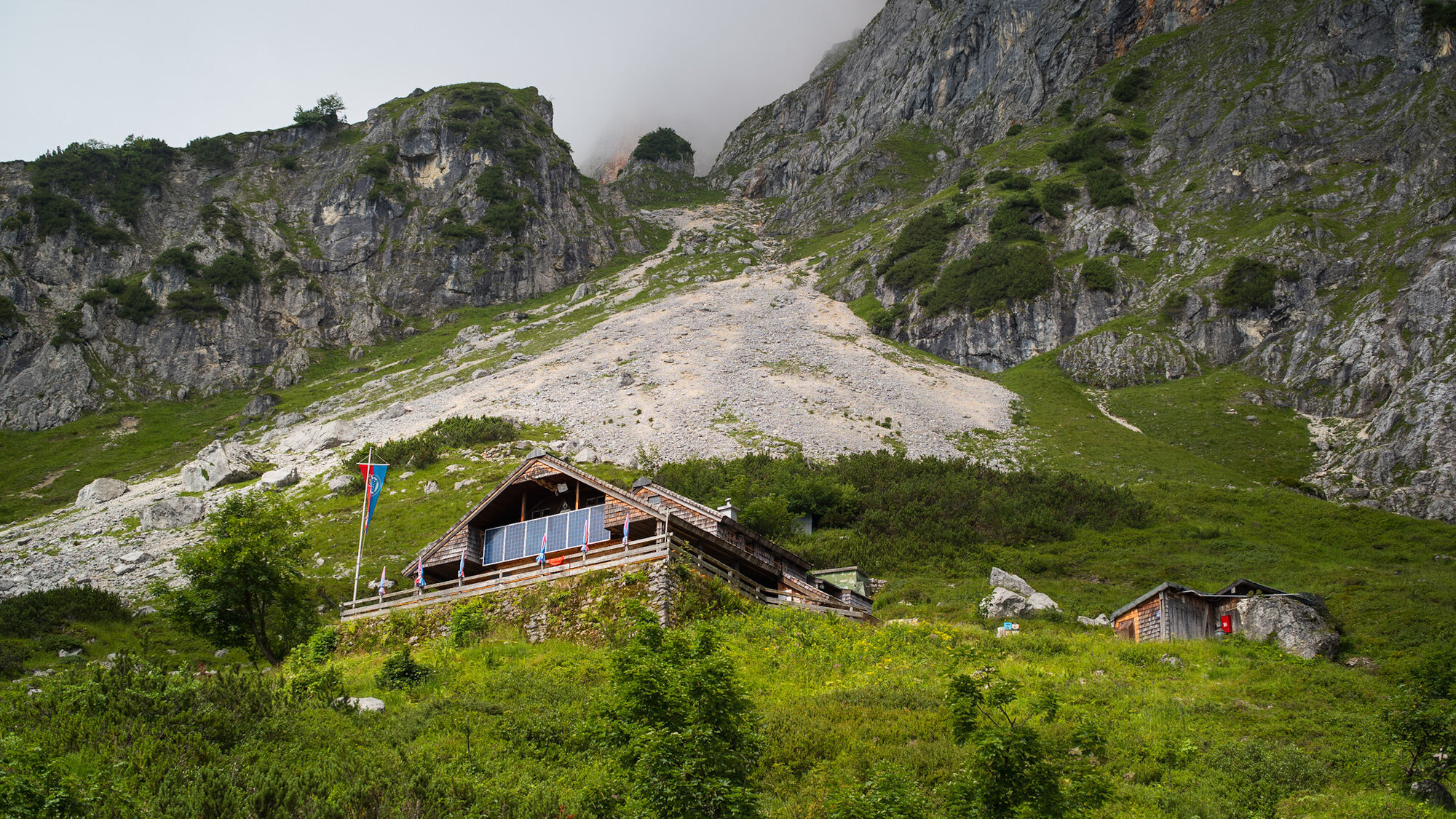
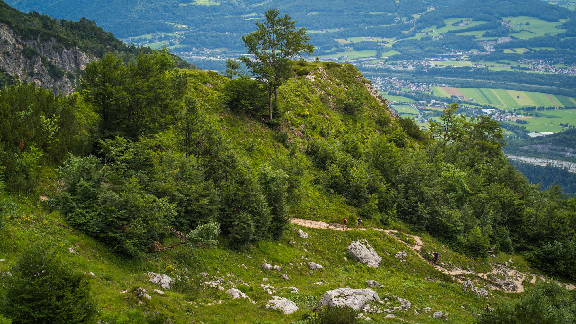
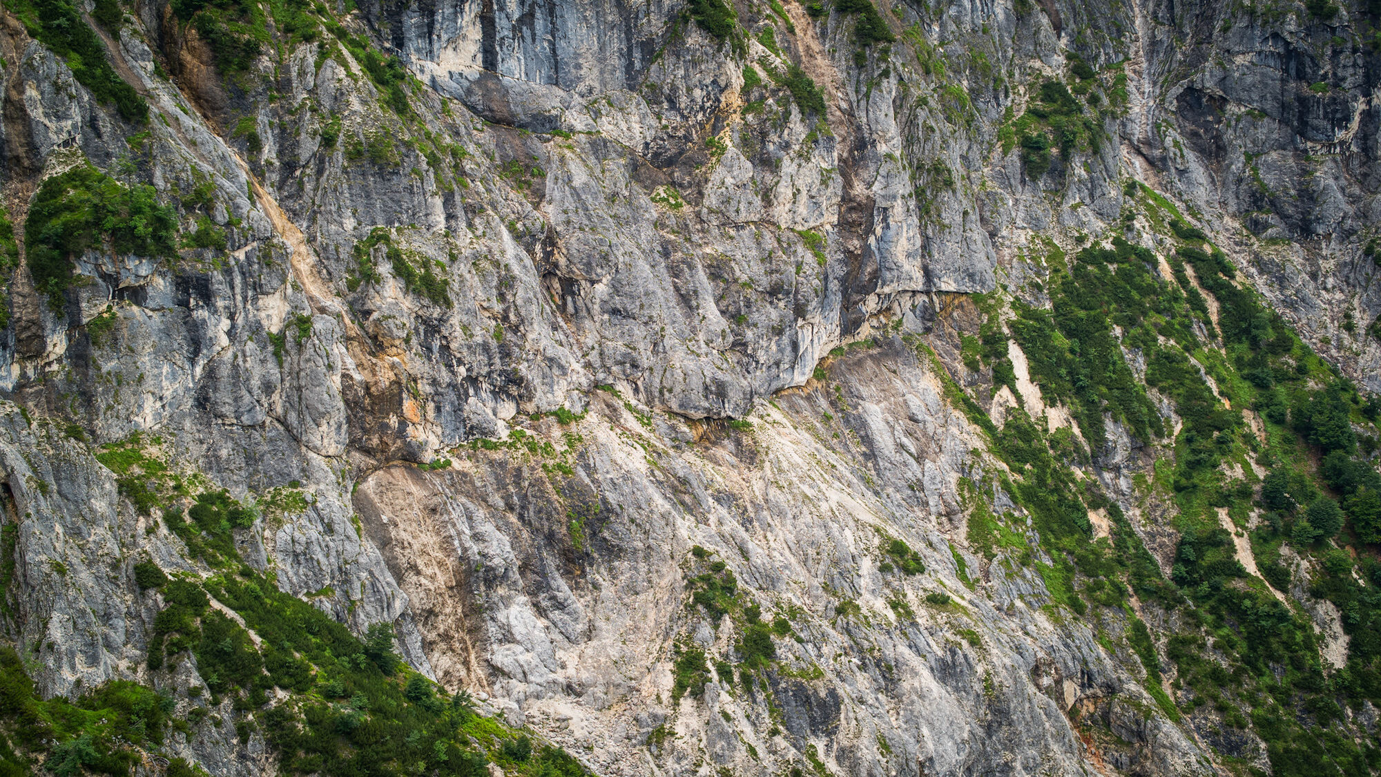
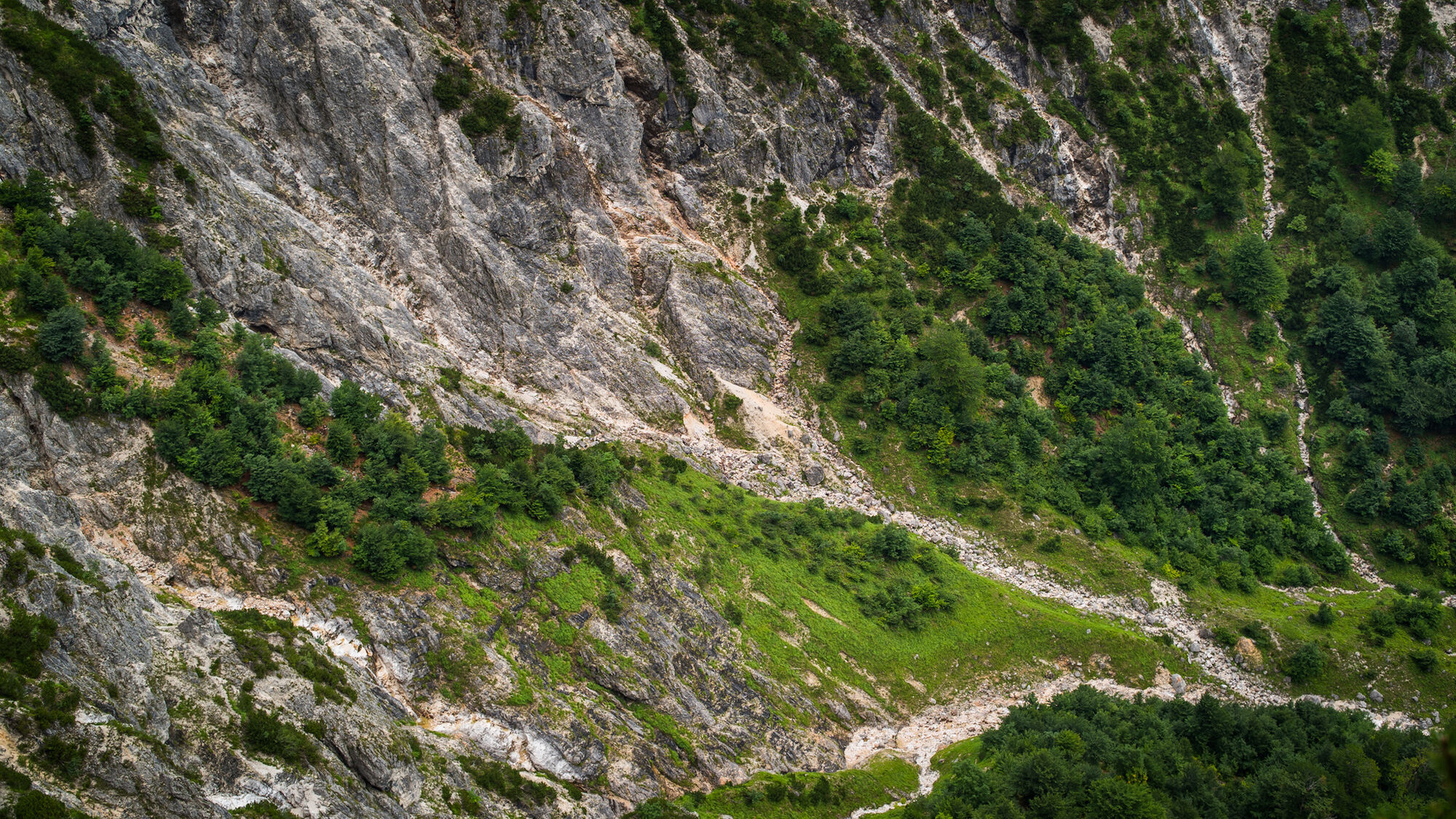
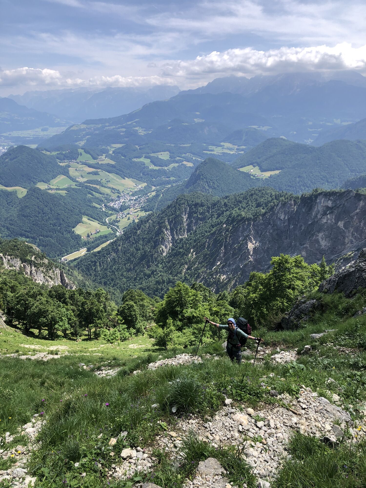
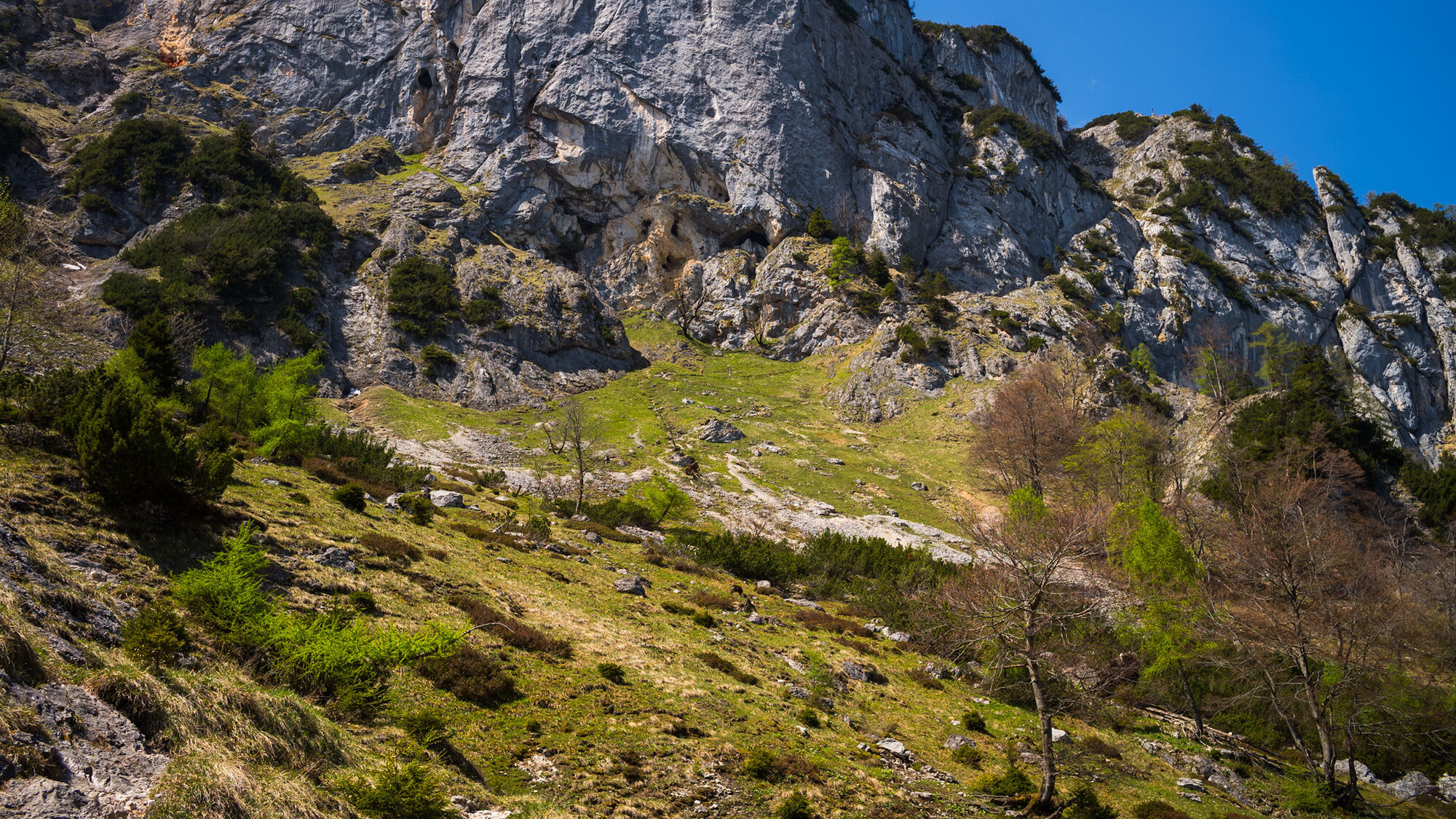
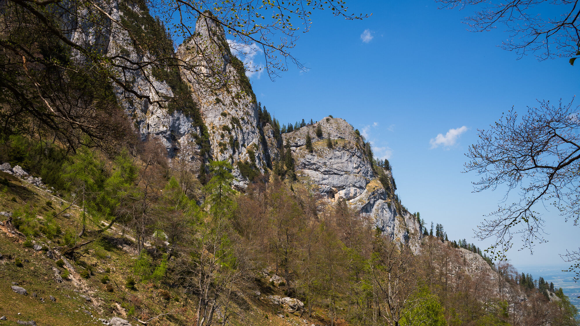
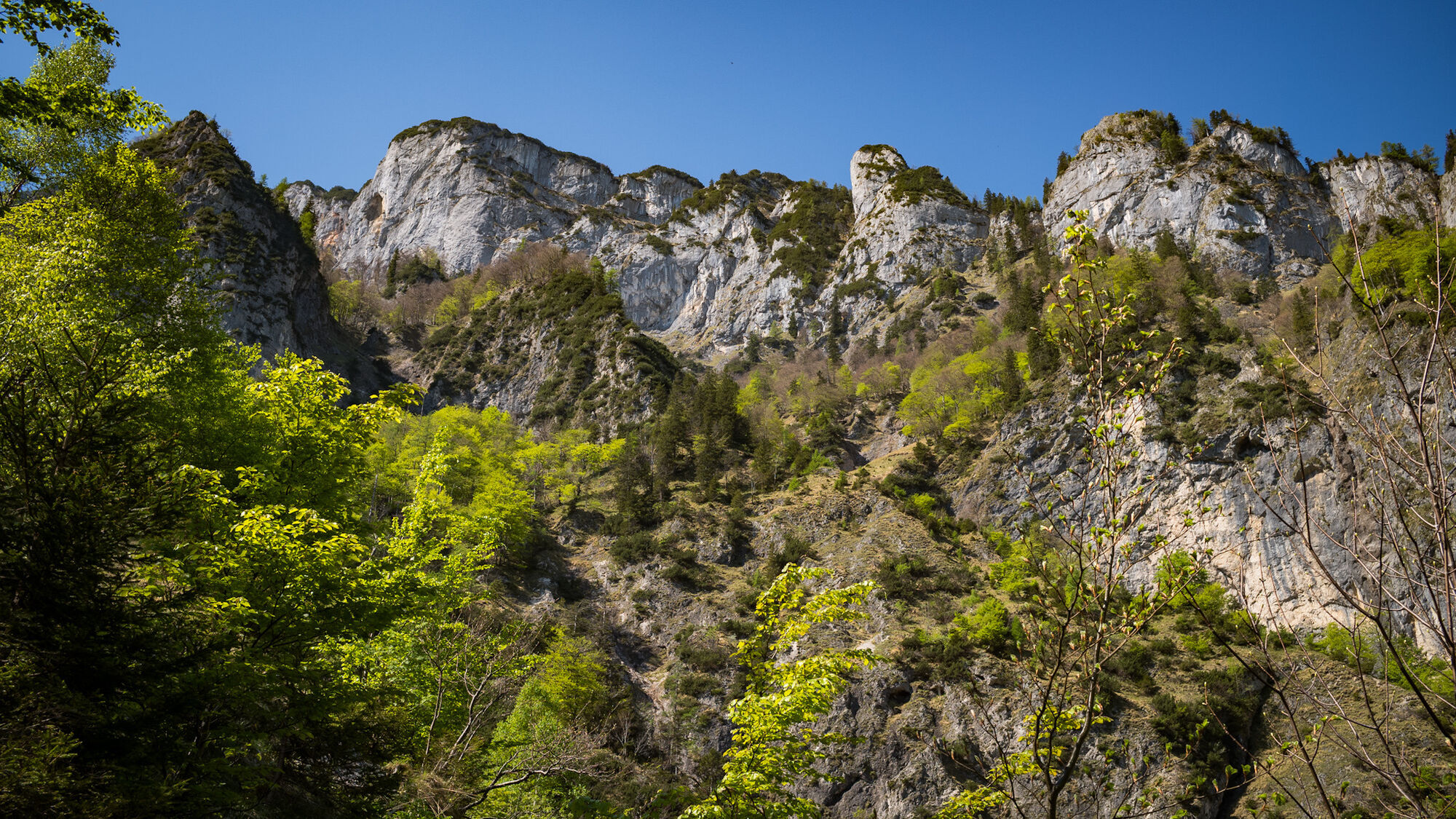
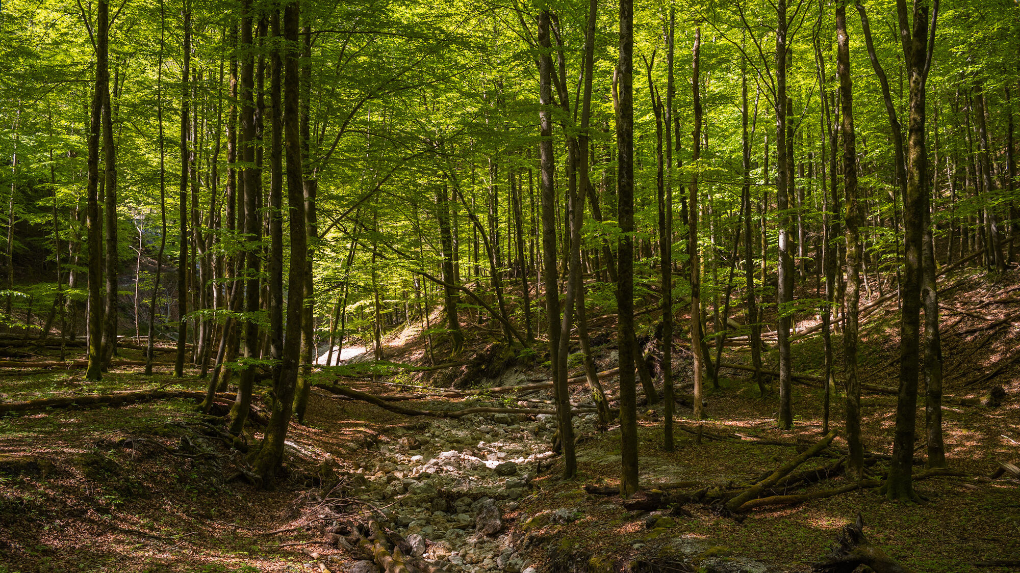
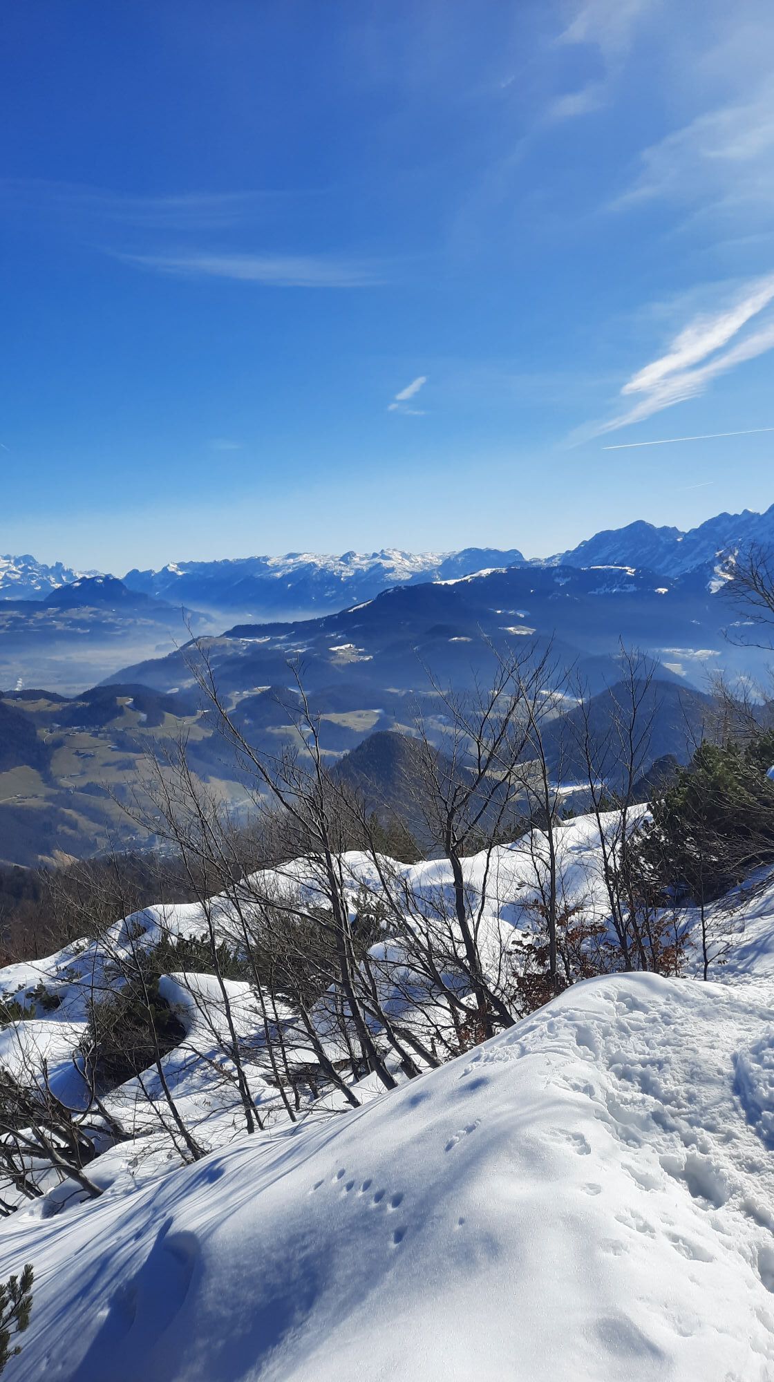
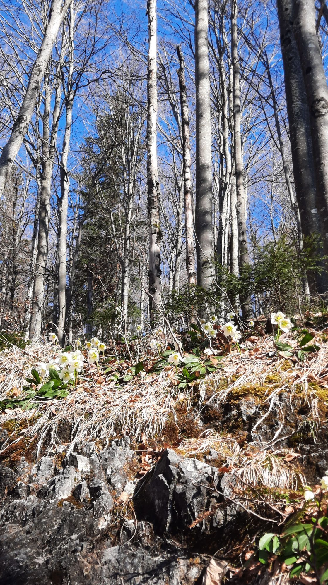
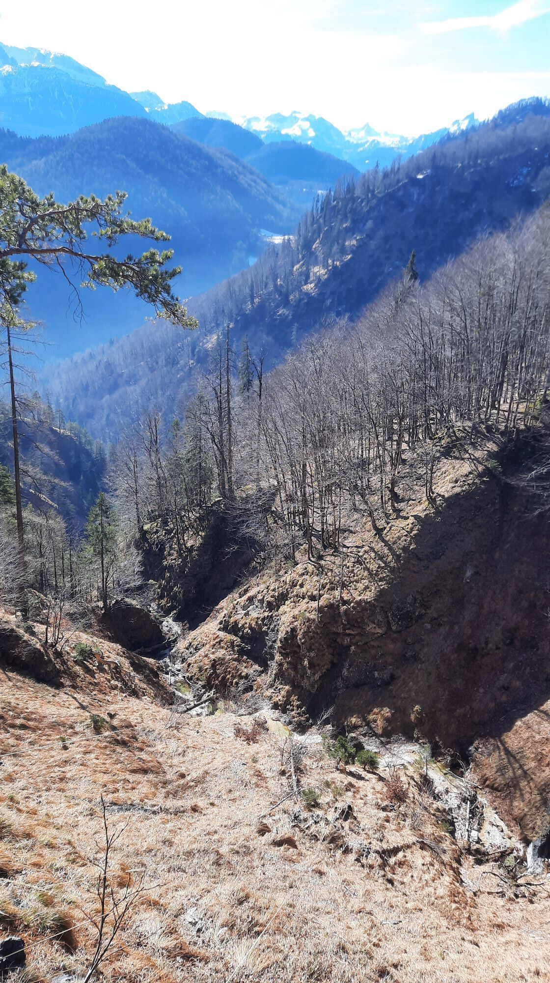
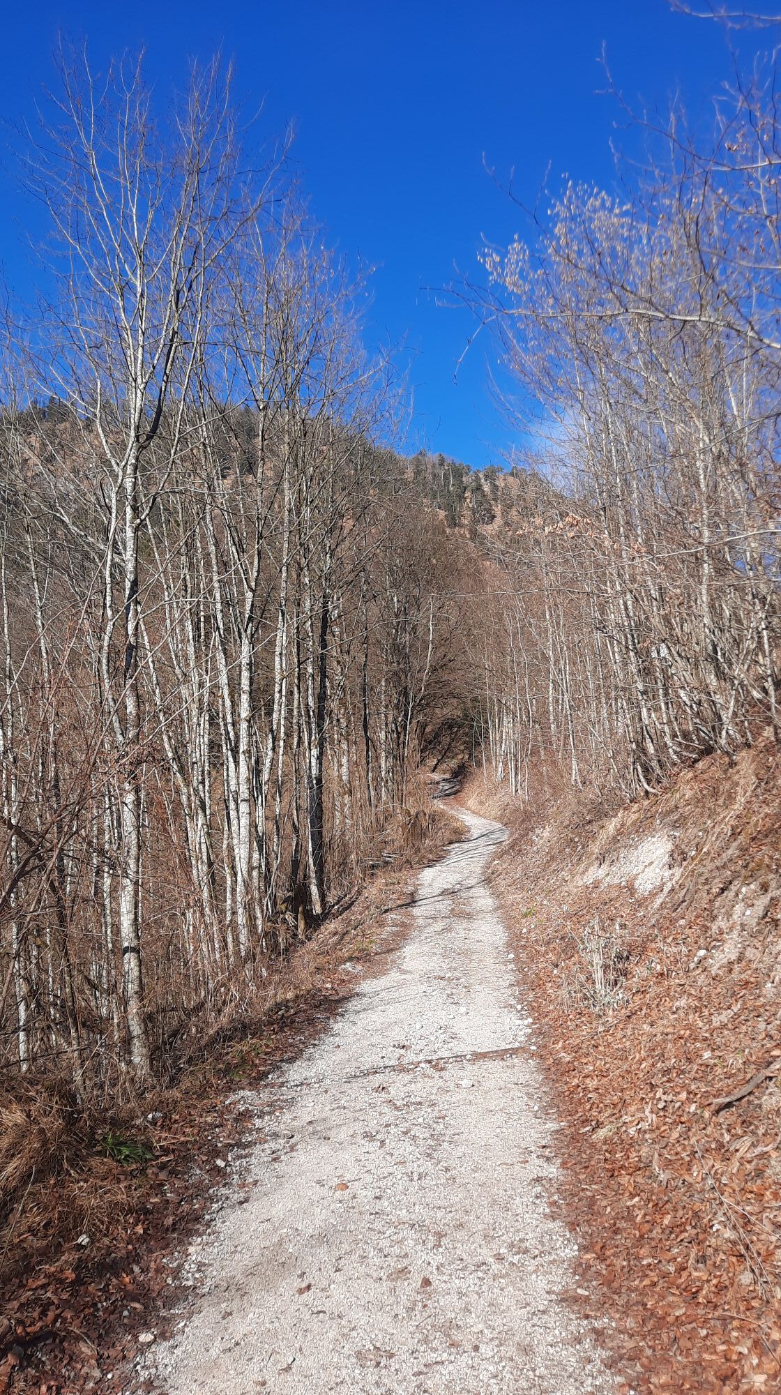
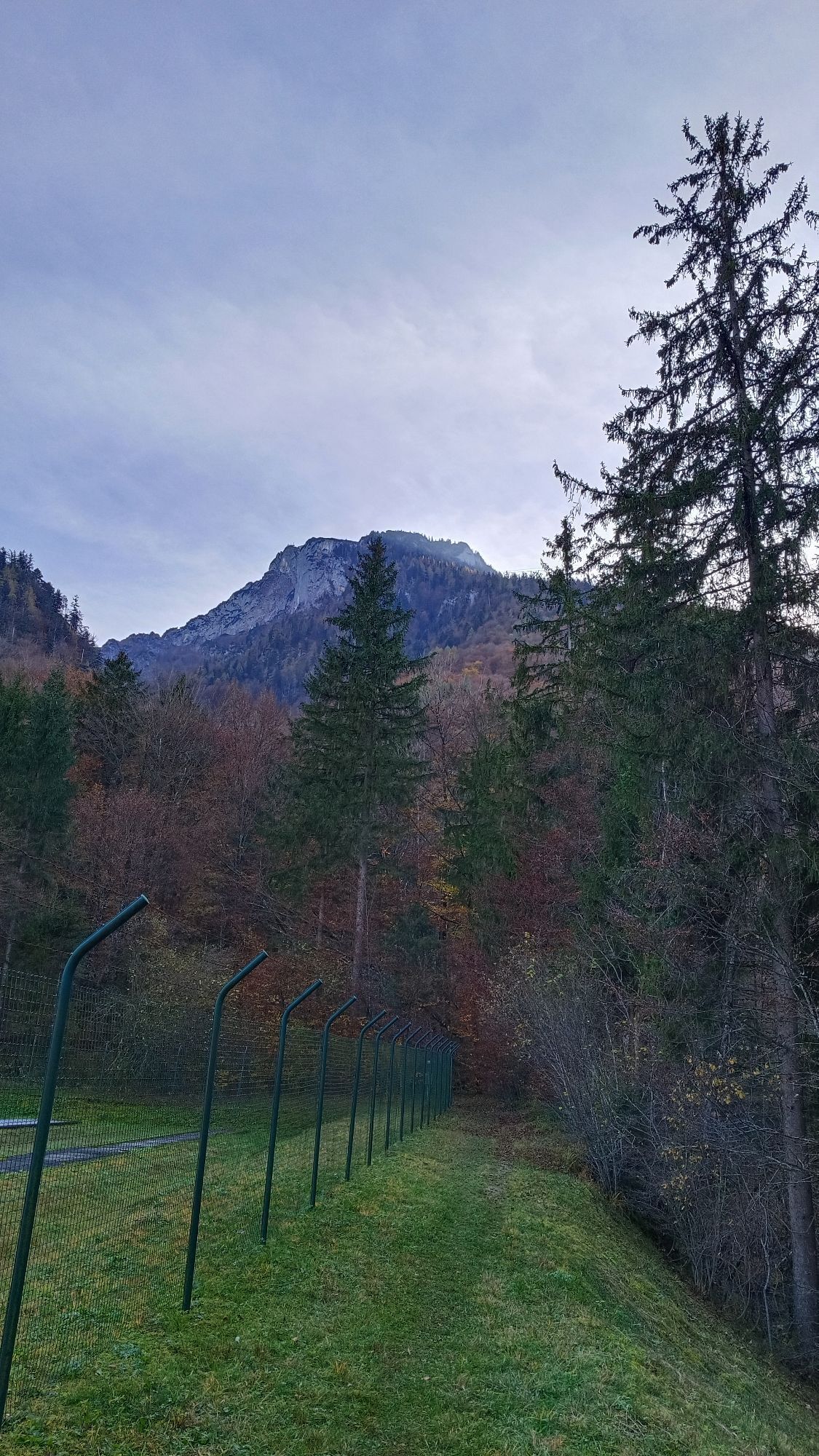
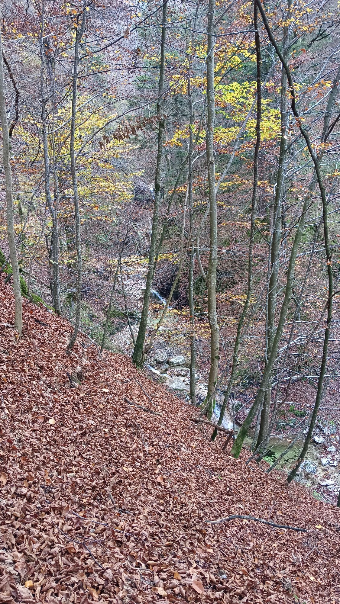
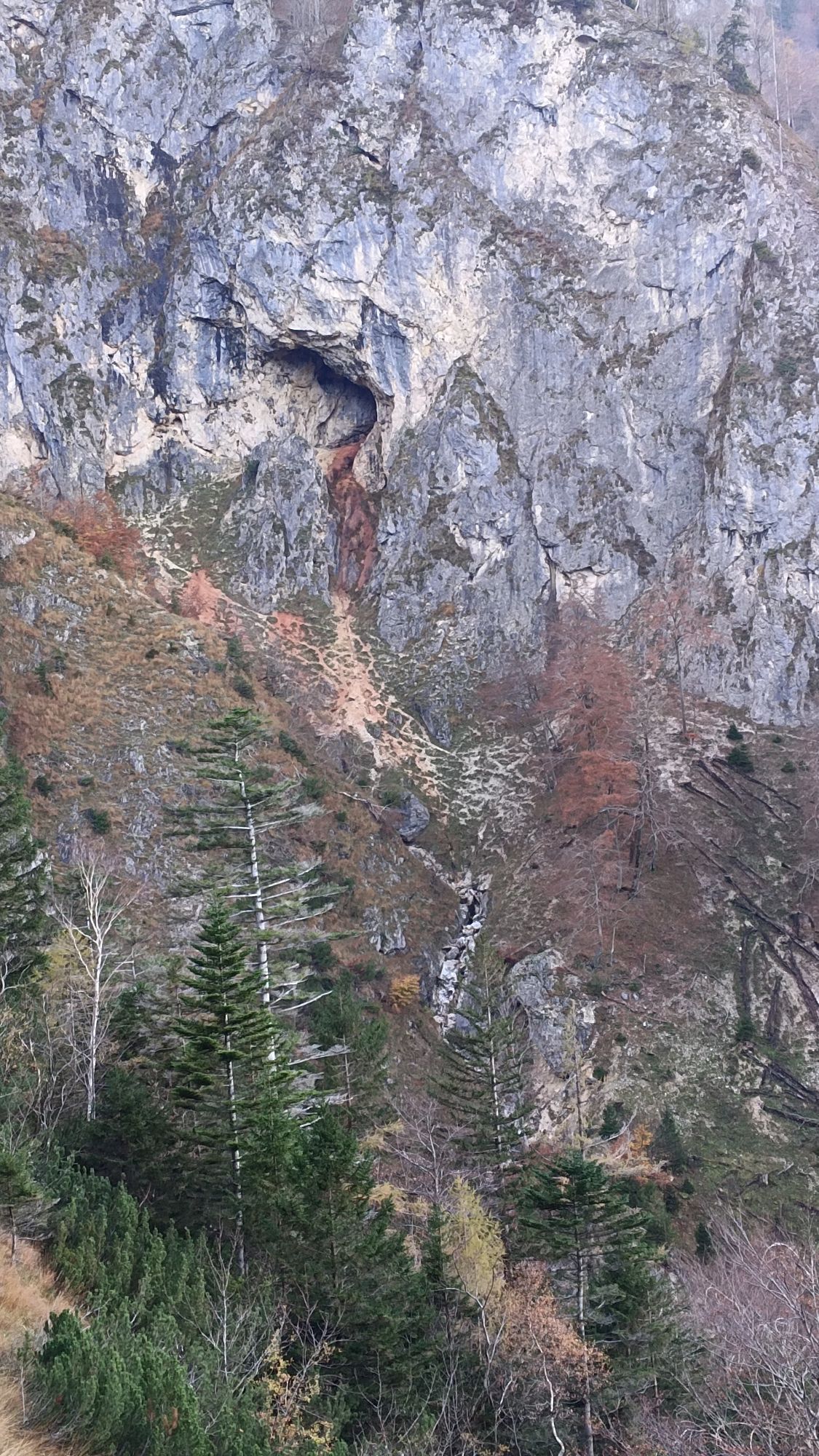
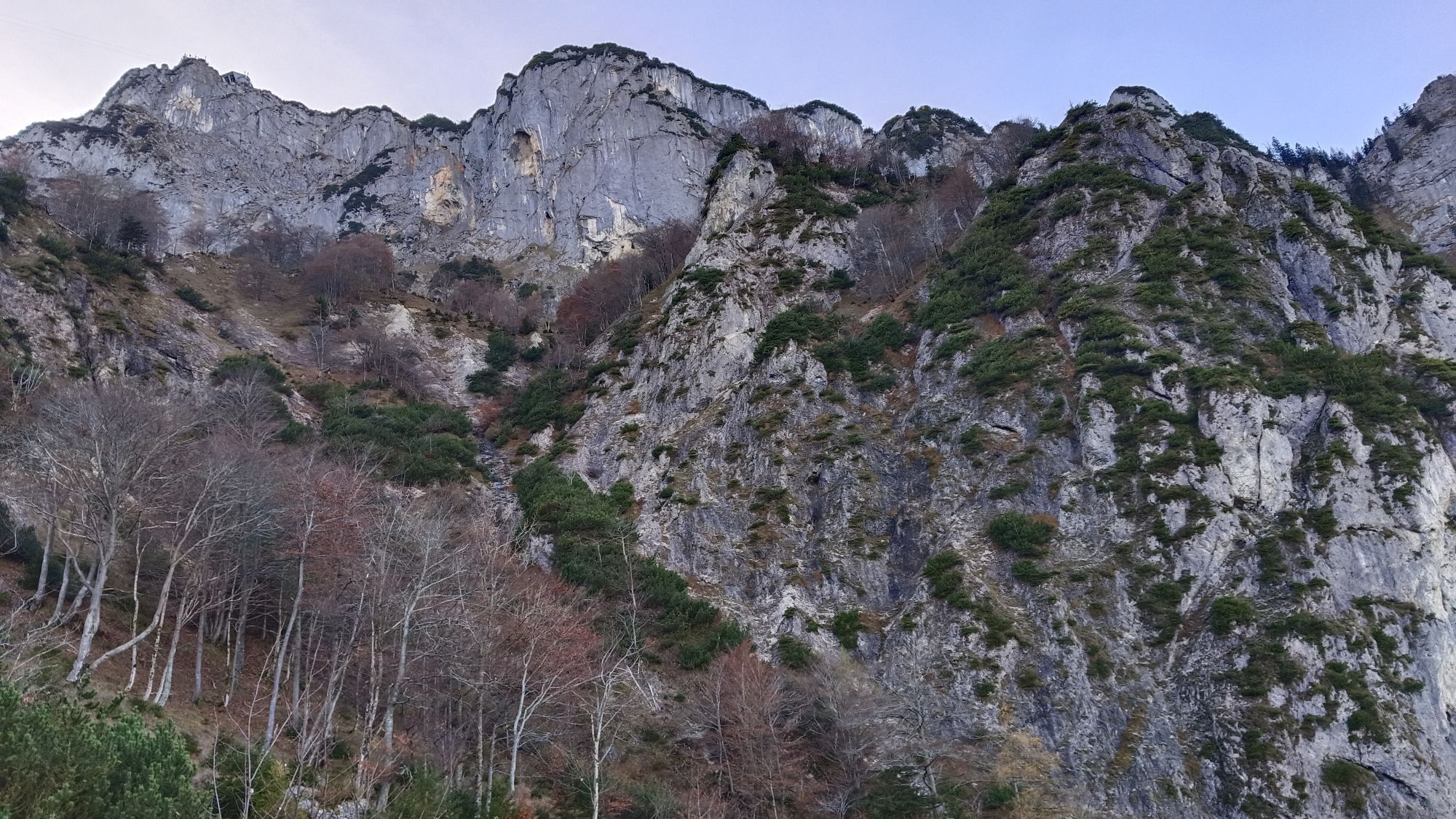
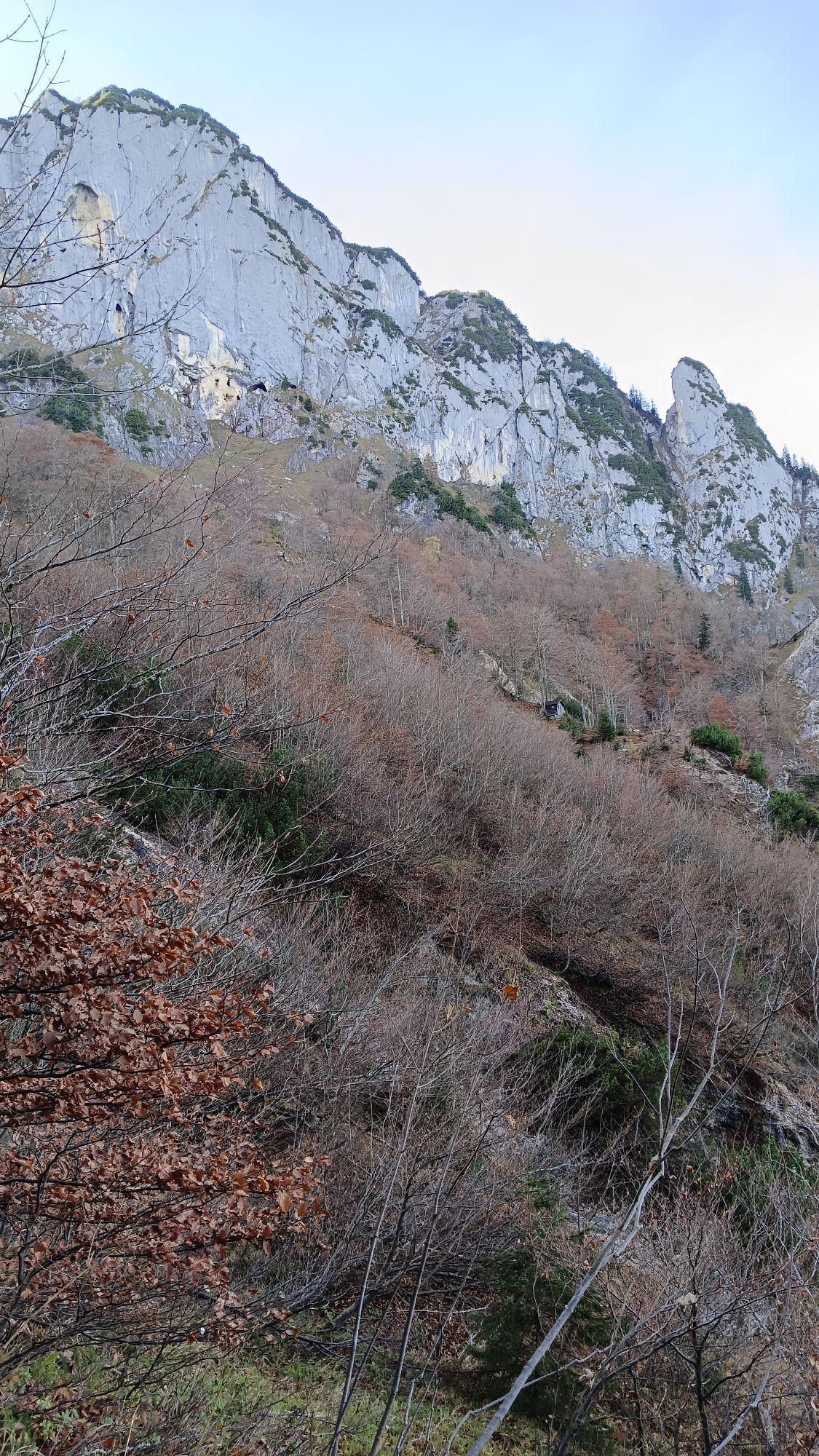
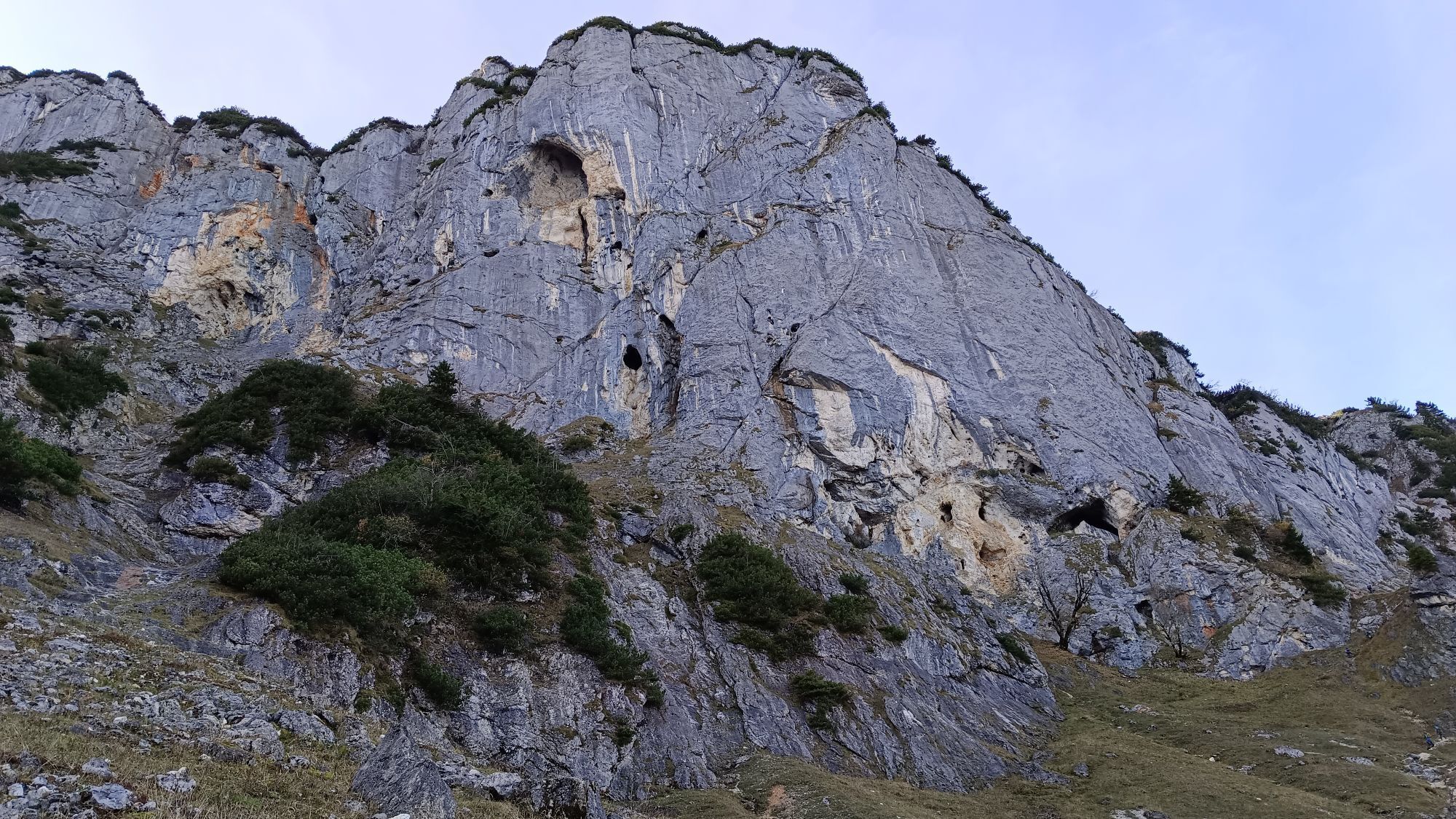
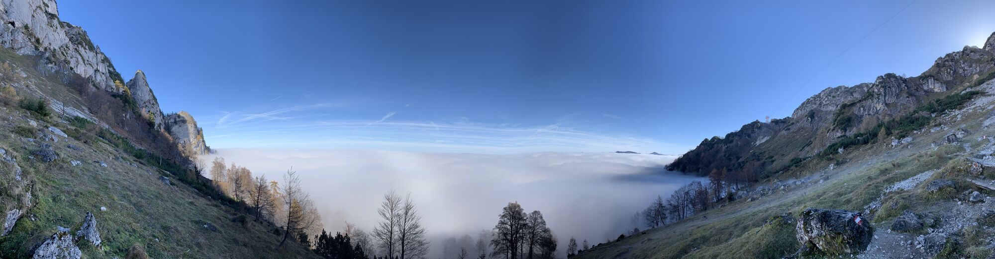
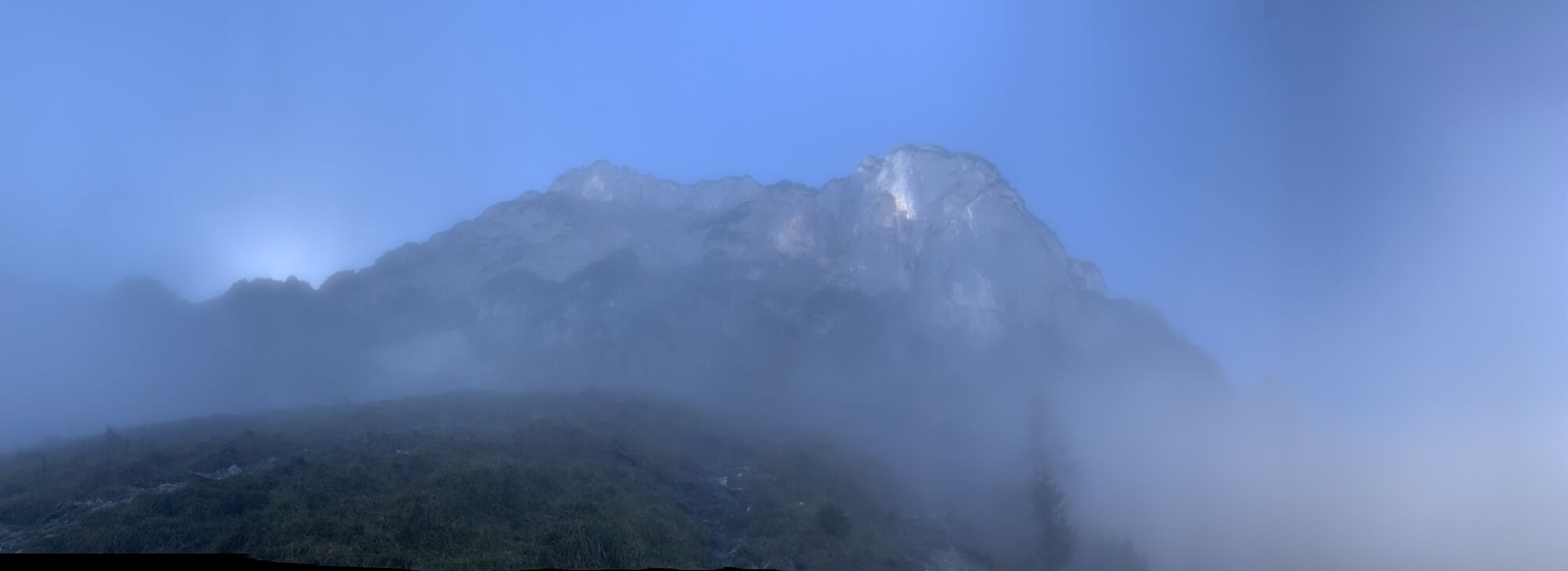
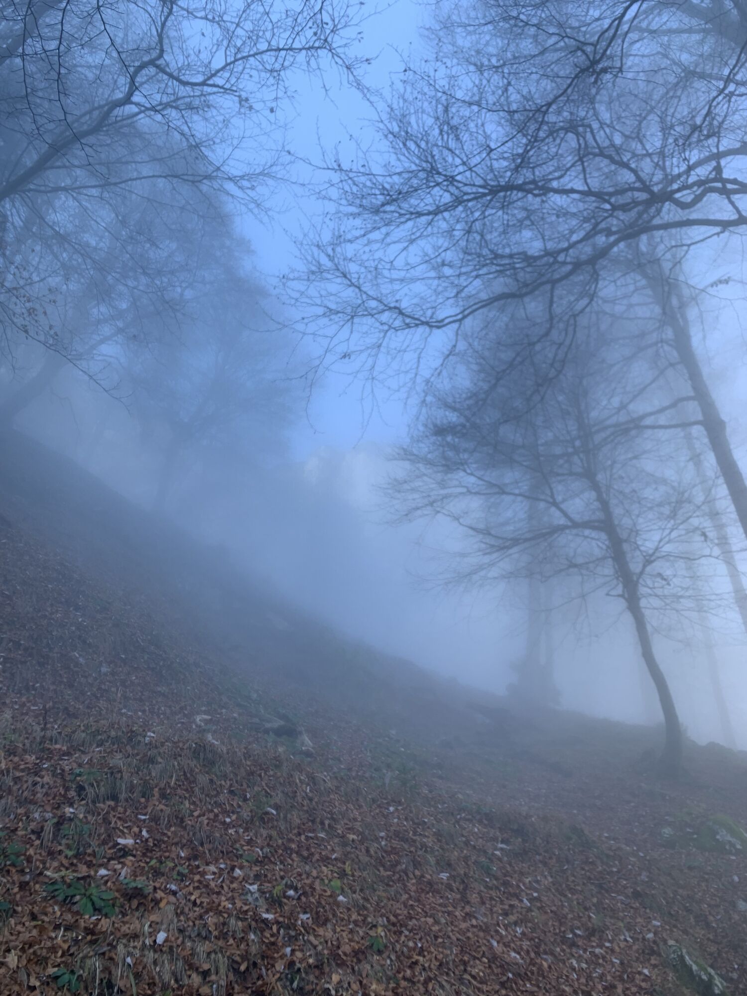
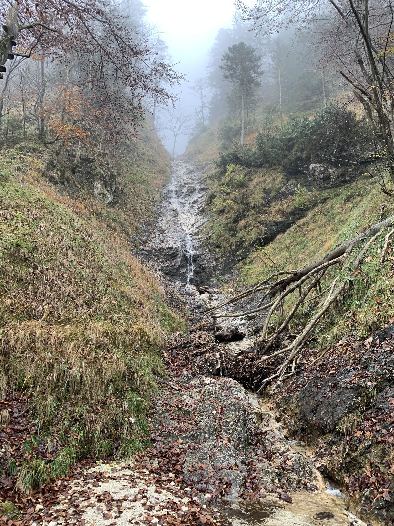
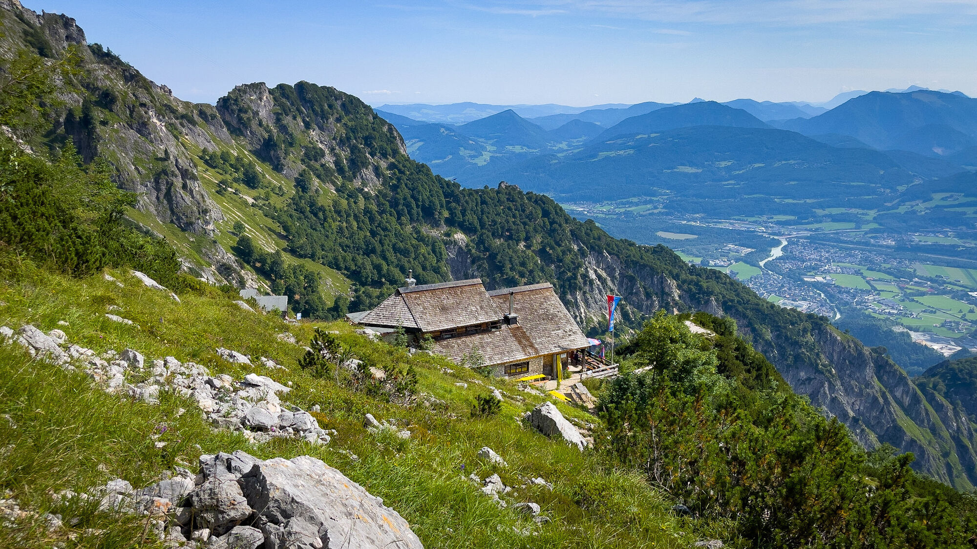
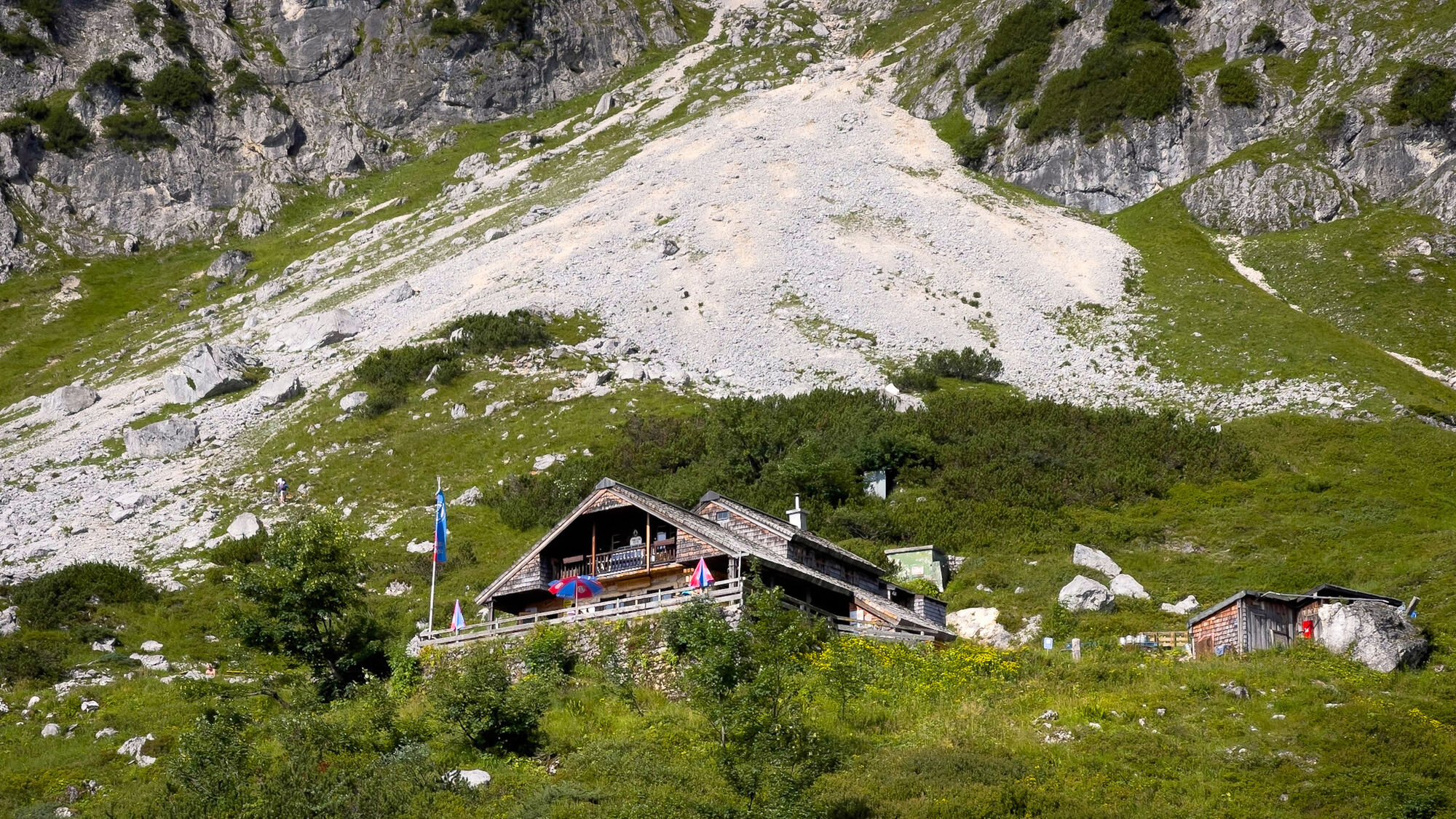
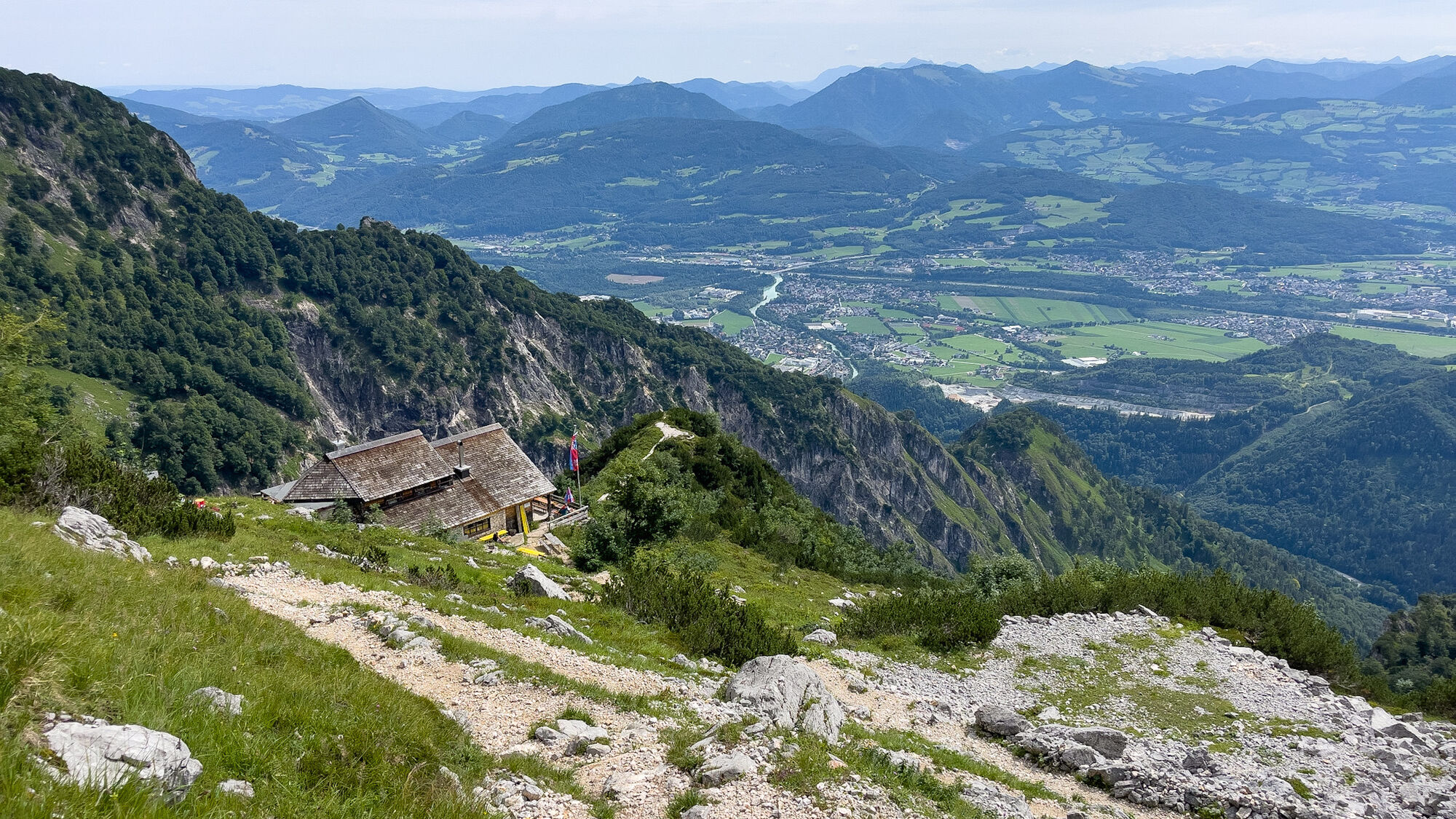
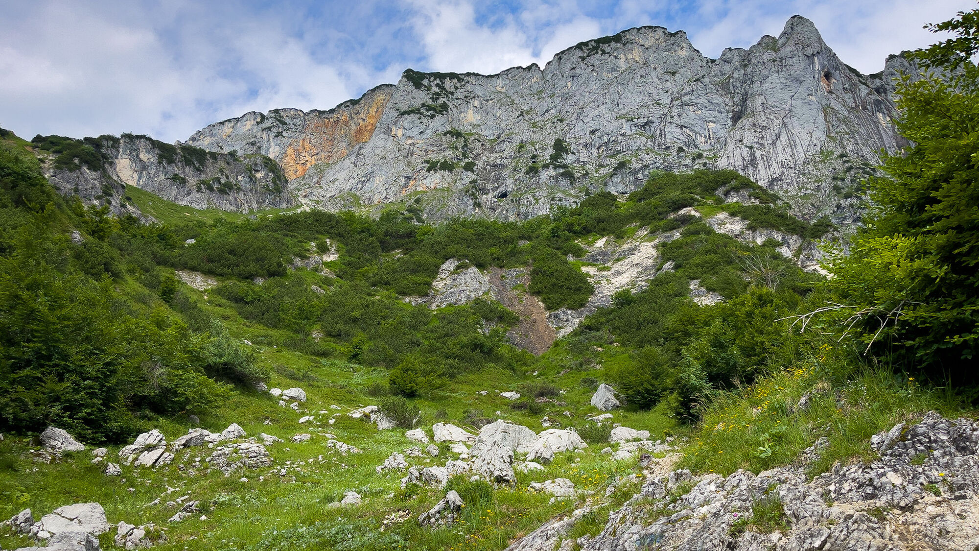
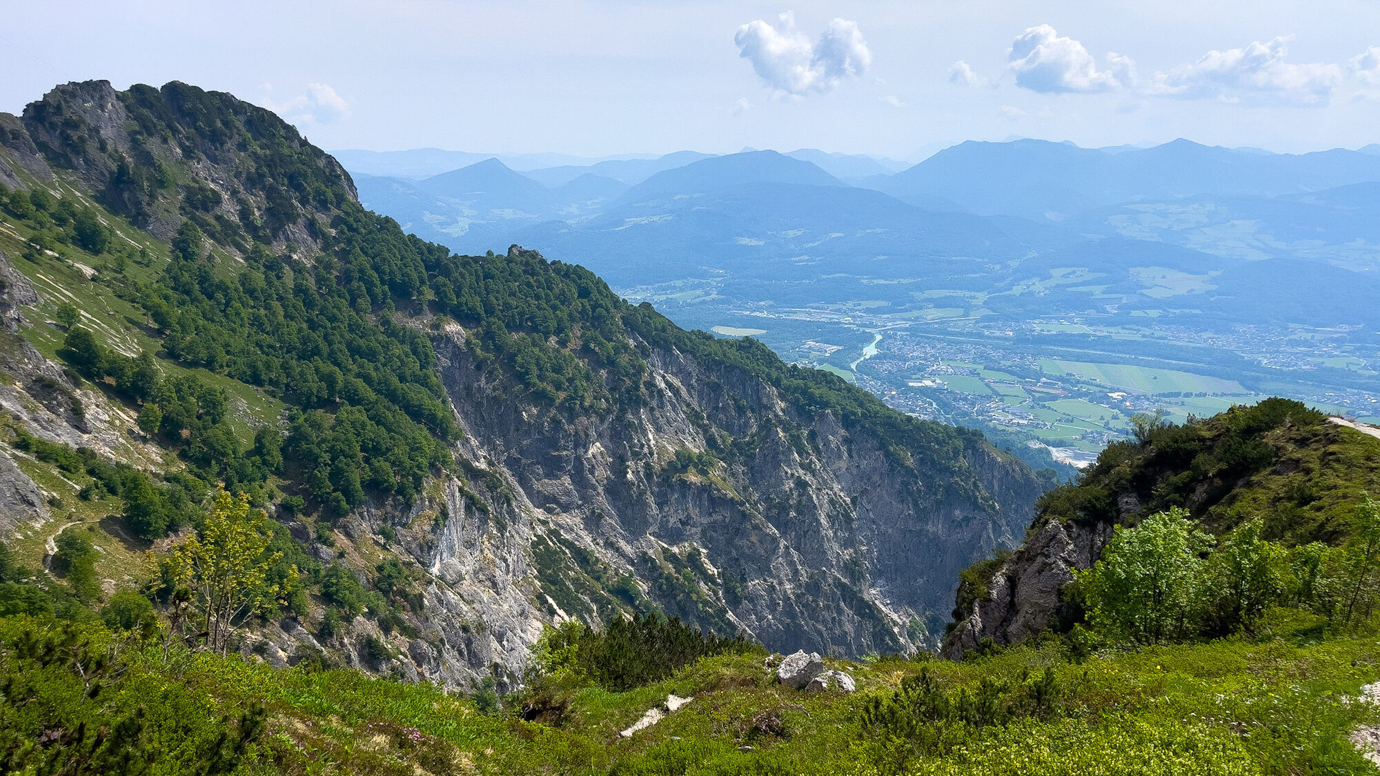
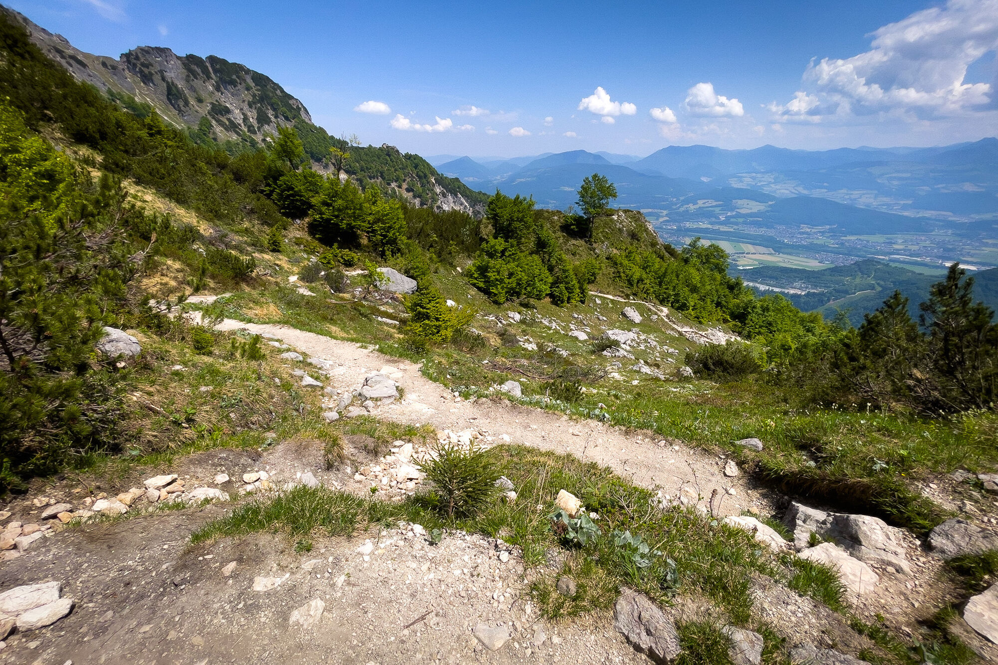
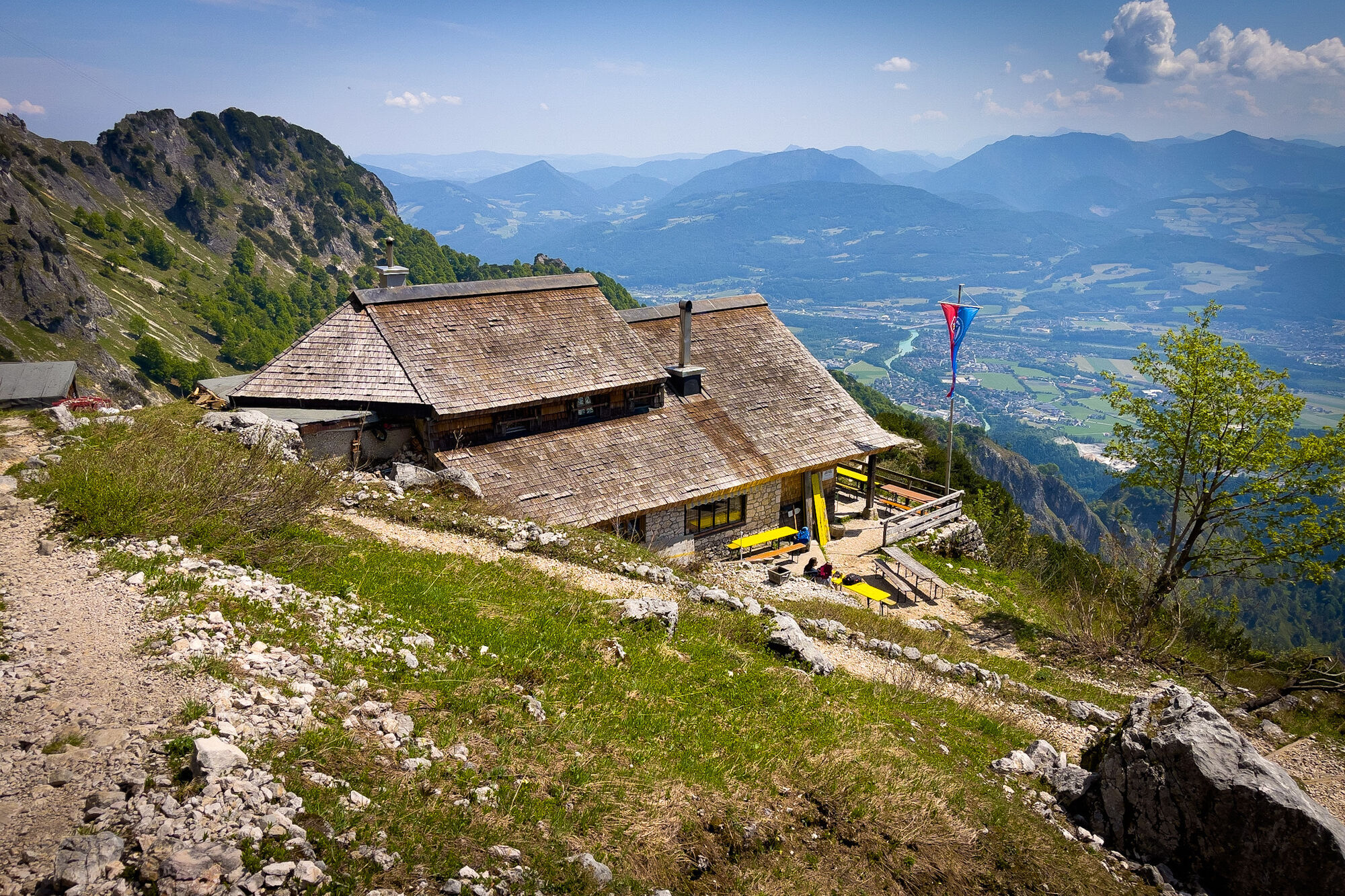
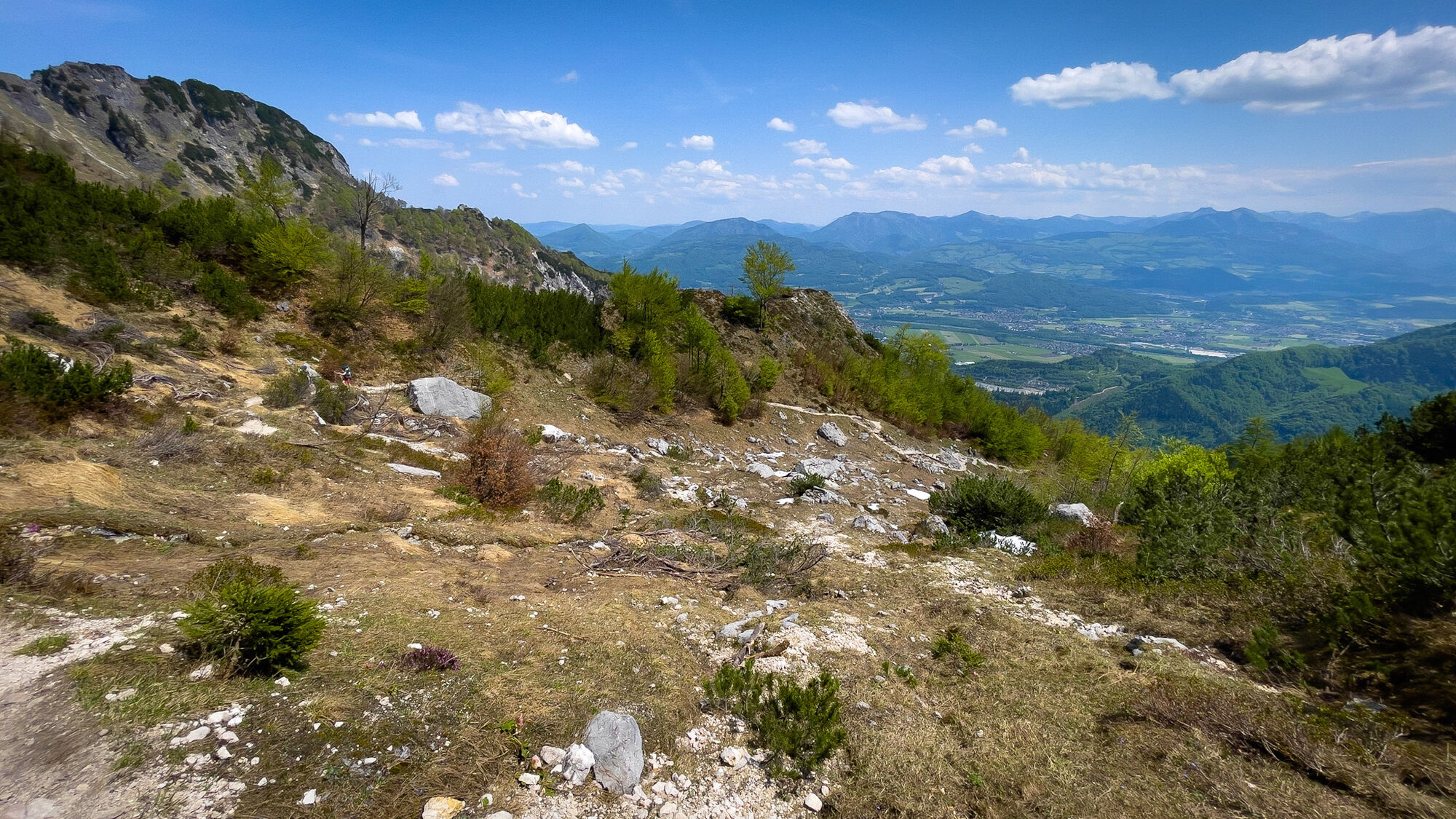
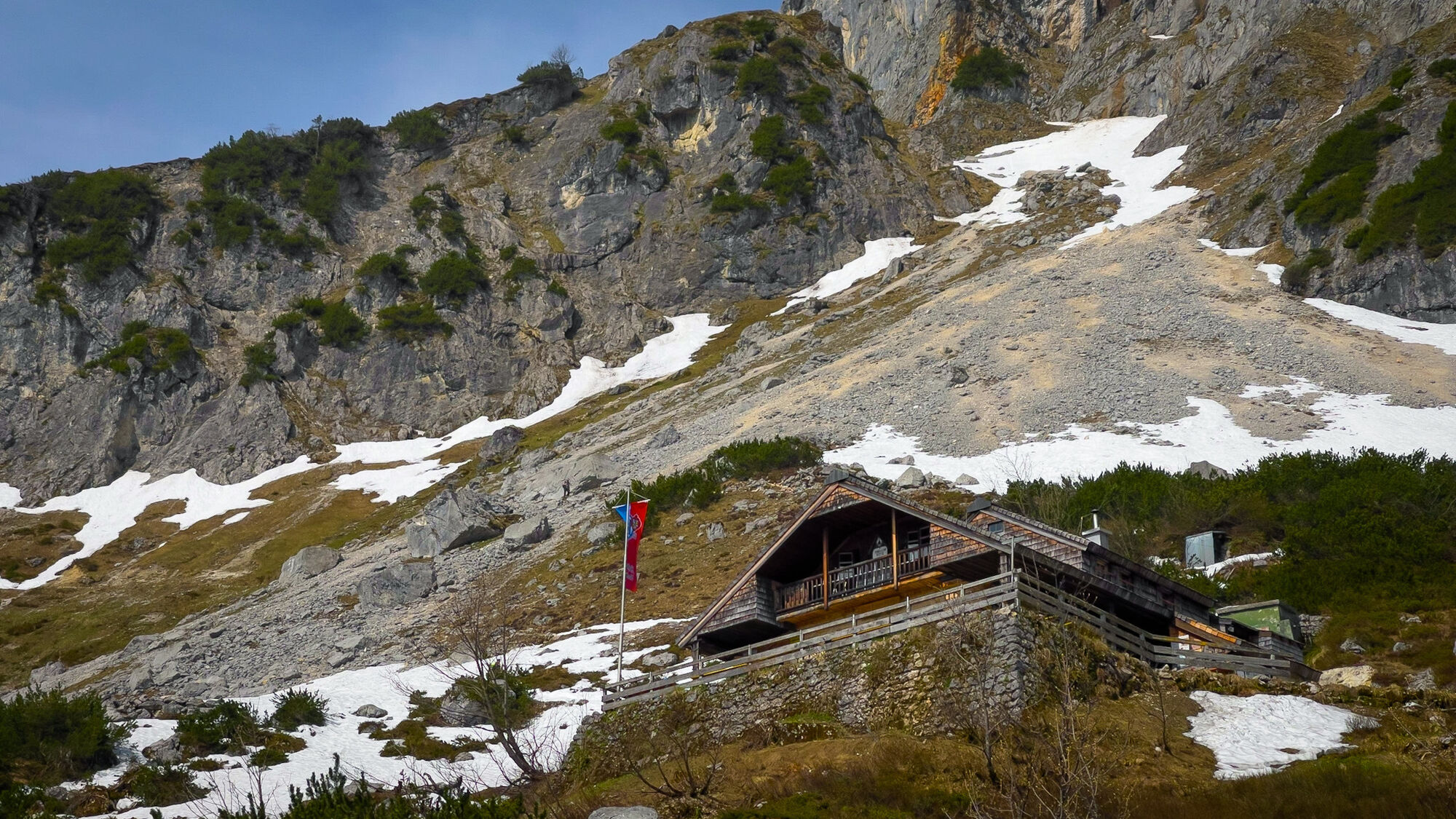
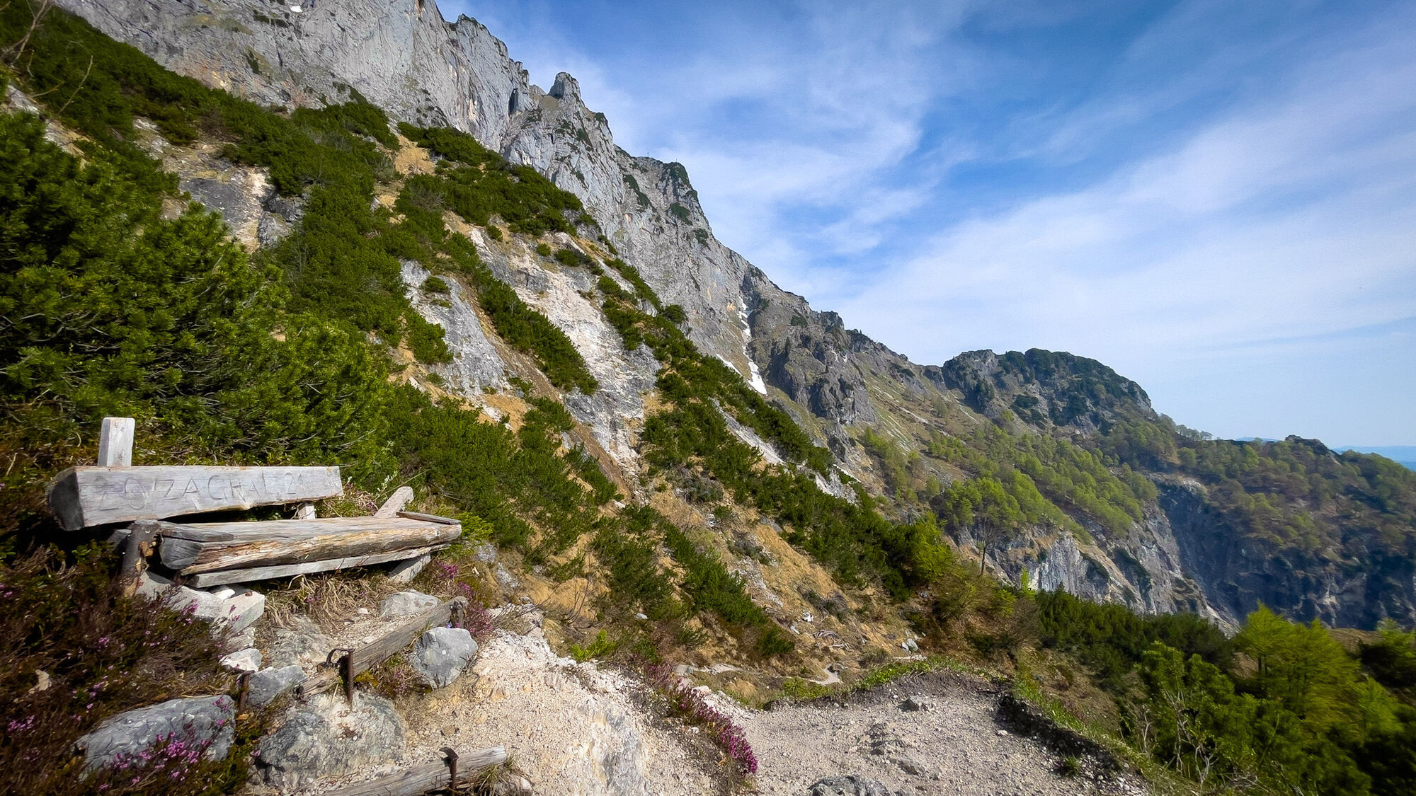
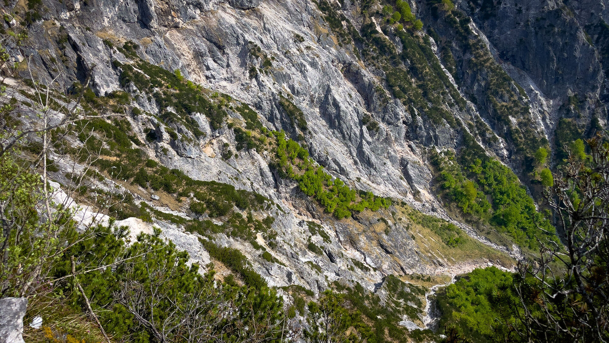
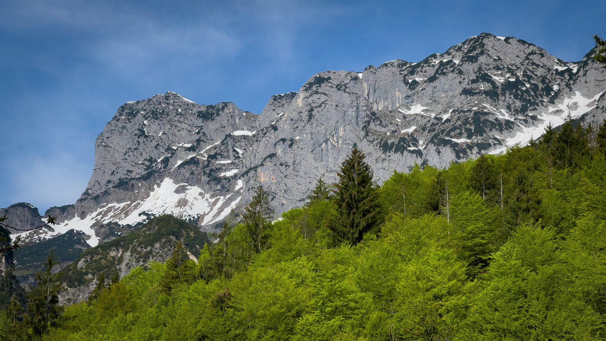
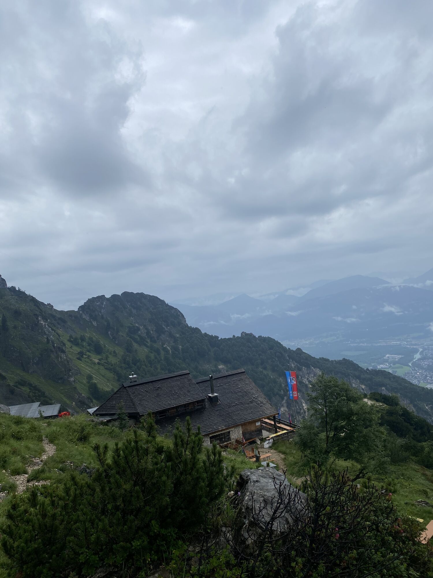
The challenging route from Glanegg to the Schellenberger Sattel ascends on the purely northern side, making it quite suitable for hot summer days. Then follows a small thirsty stretch with some uphill...
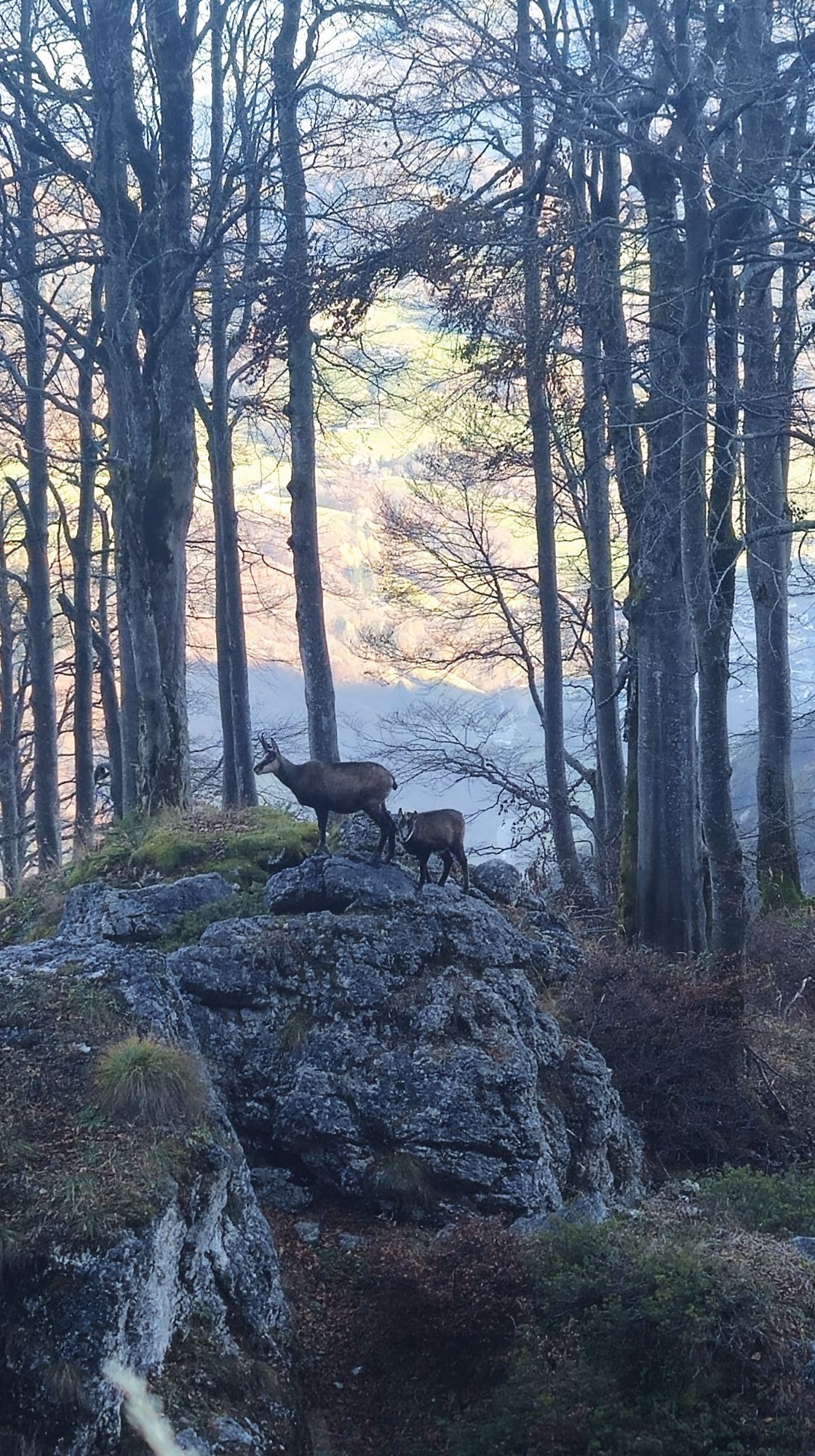
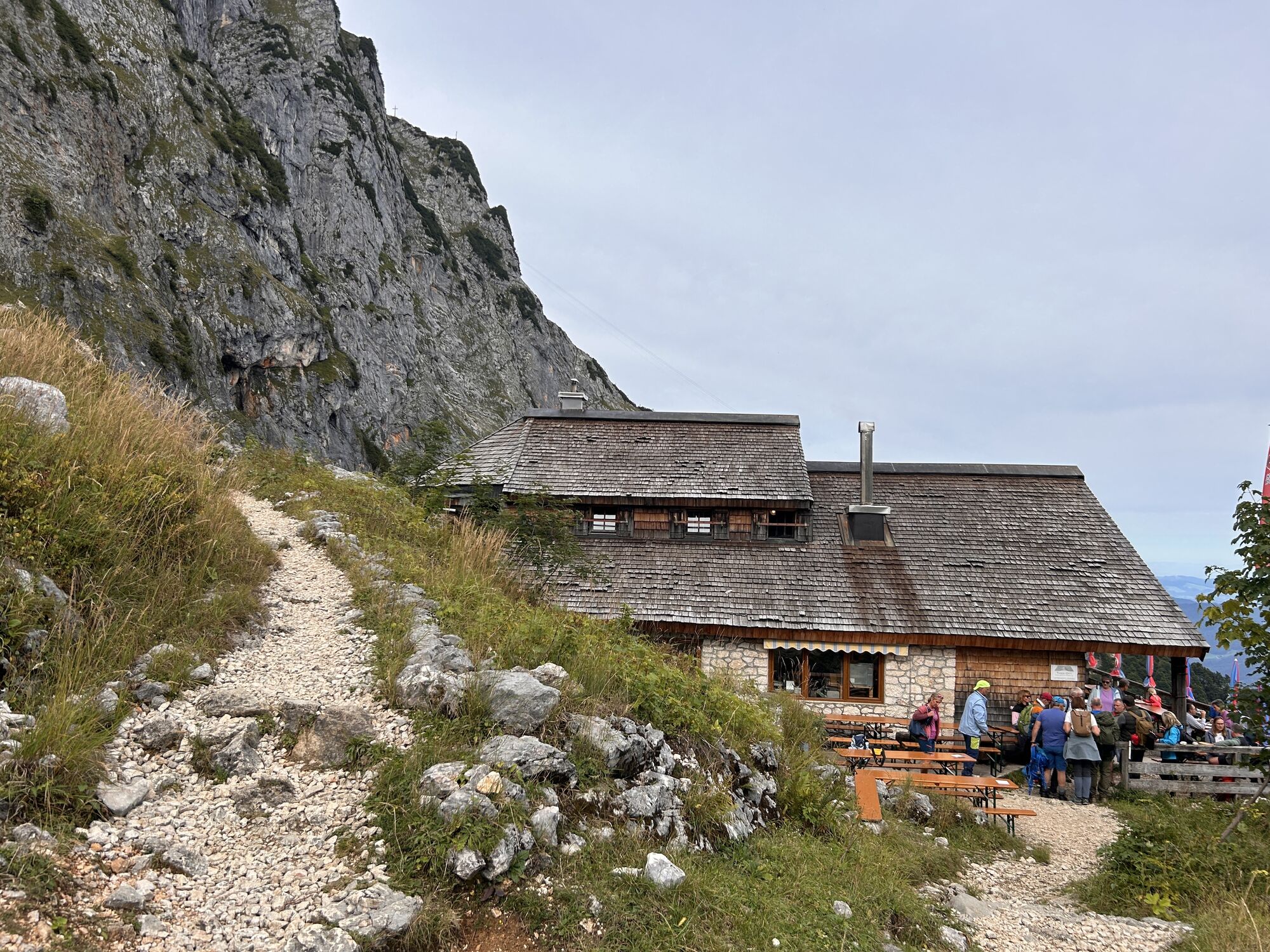
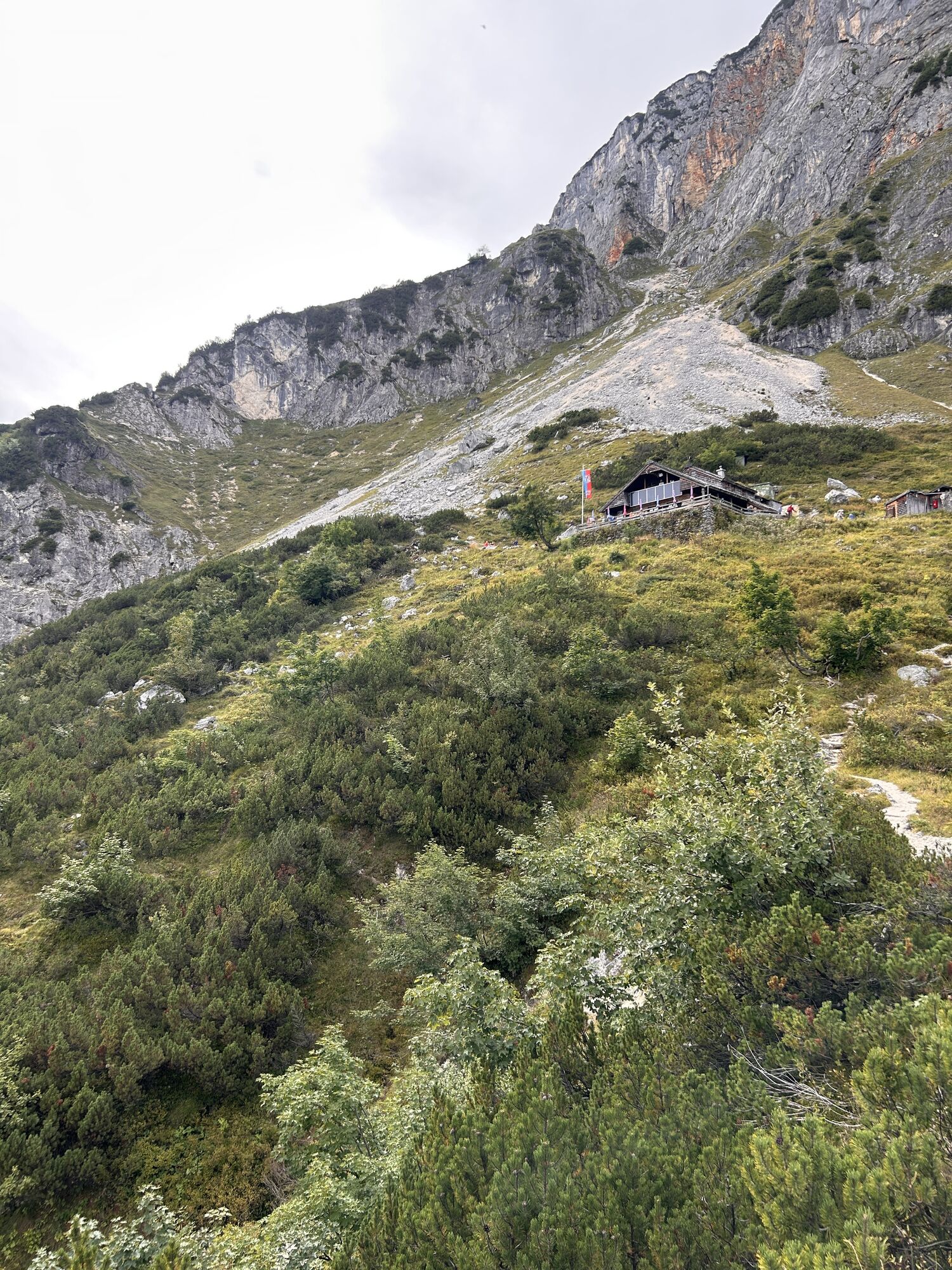
The challenging route from Glanegg to the Schellenberger Sattel ascends on the purely northern side, making it quite suitable for hot summer days. Then follows a small thirsty stretch with some uphill sections up to the managed Toni-Lenz-Hütte (1,411 m). The descent from the Schellenberger Sattel (1,438 m) requires special attention. This certainly also applies to the numerous chamois, which are not shy at all about photos. It then gets very relaxed at the Toni-Lenz-Hütte, and the descent designed as a mountain running track down to the Schellenberger Tower diagonally opposite the bus stop poses no major difficulties anymore.

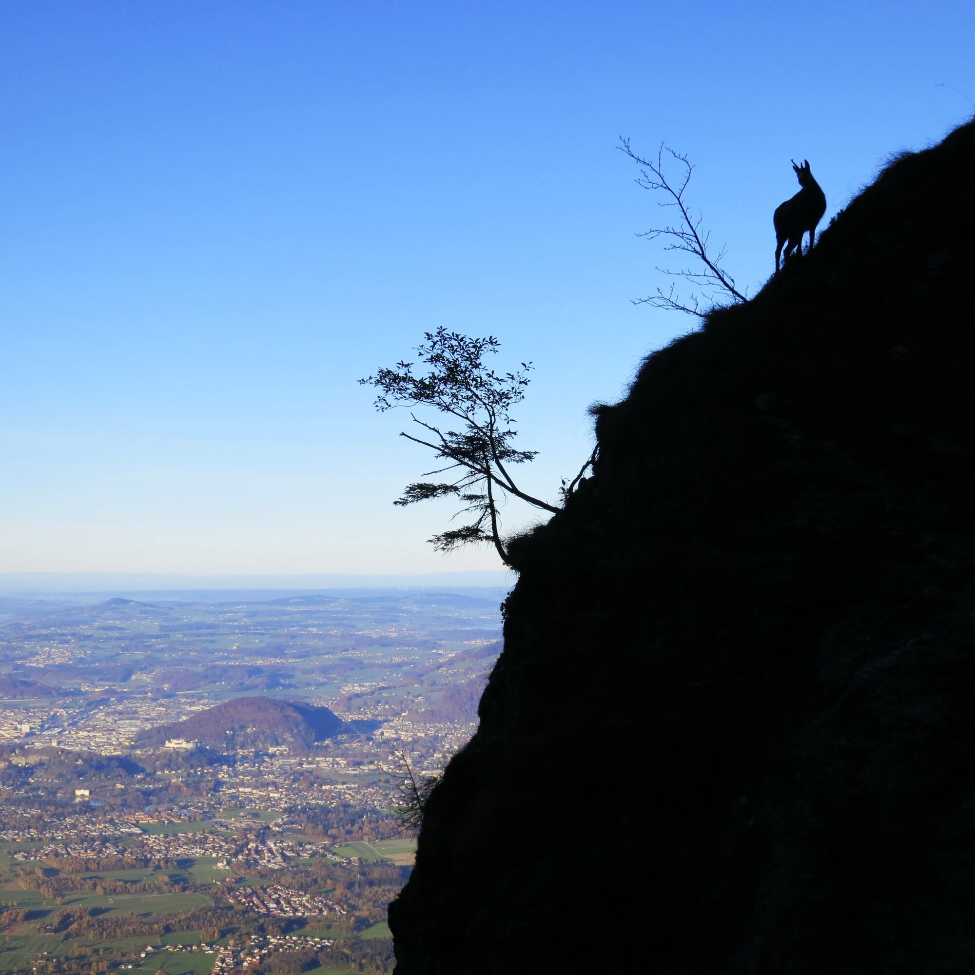
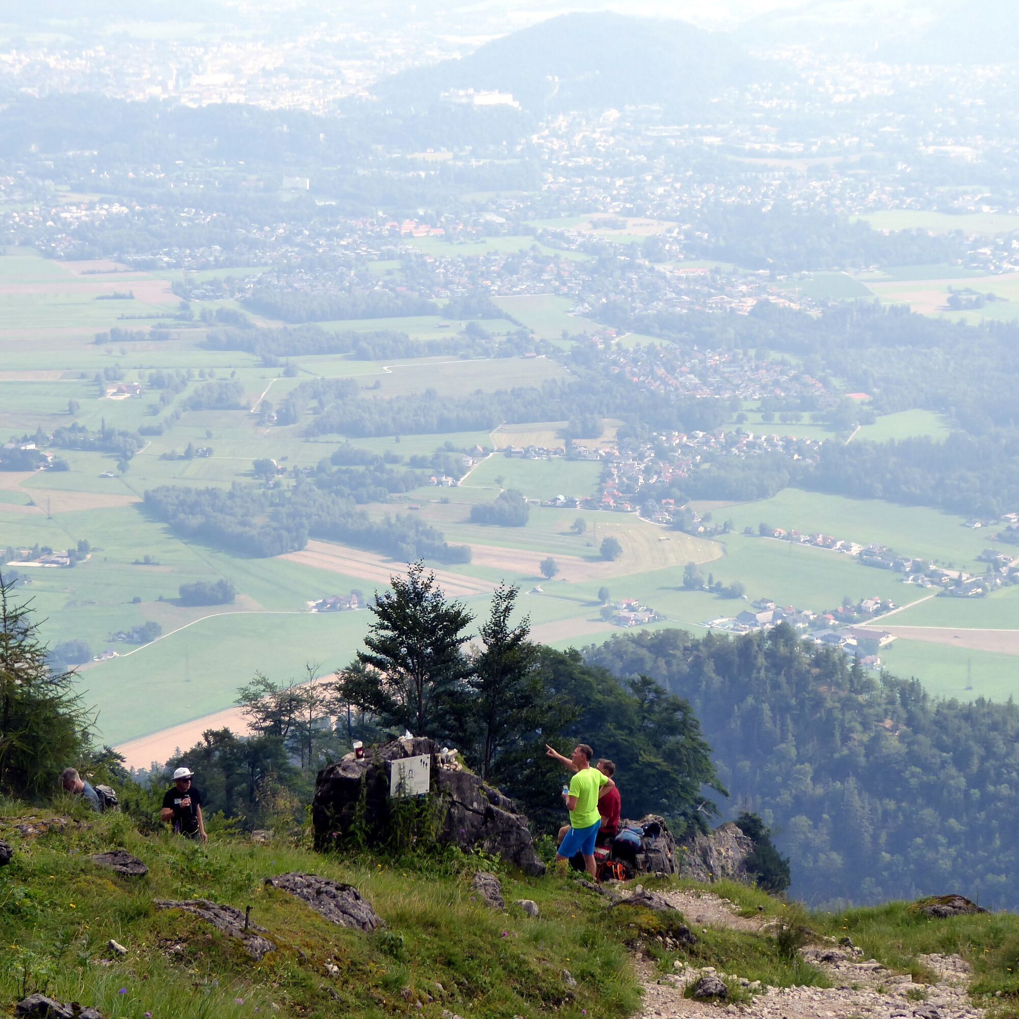
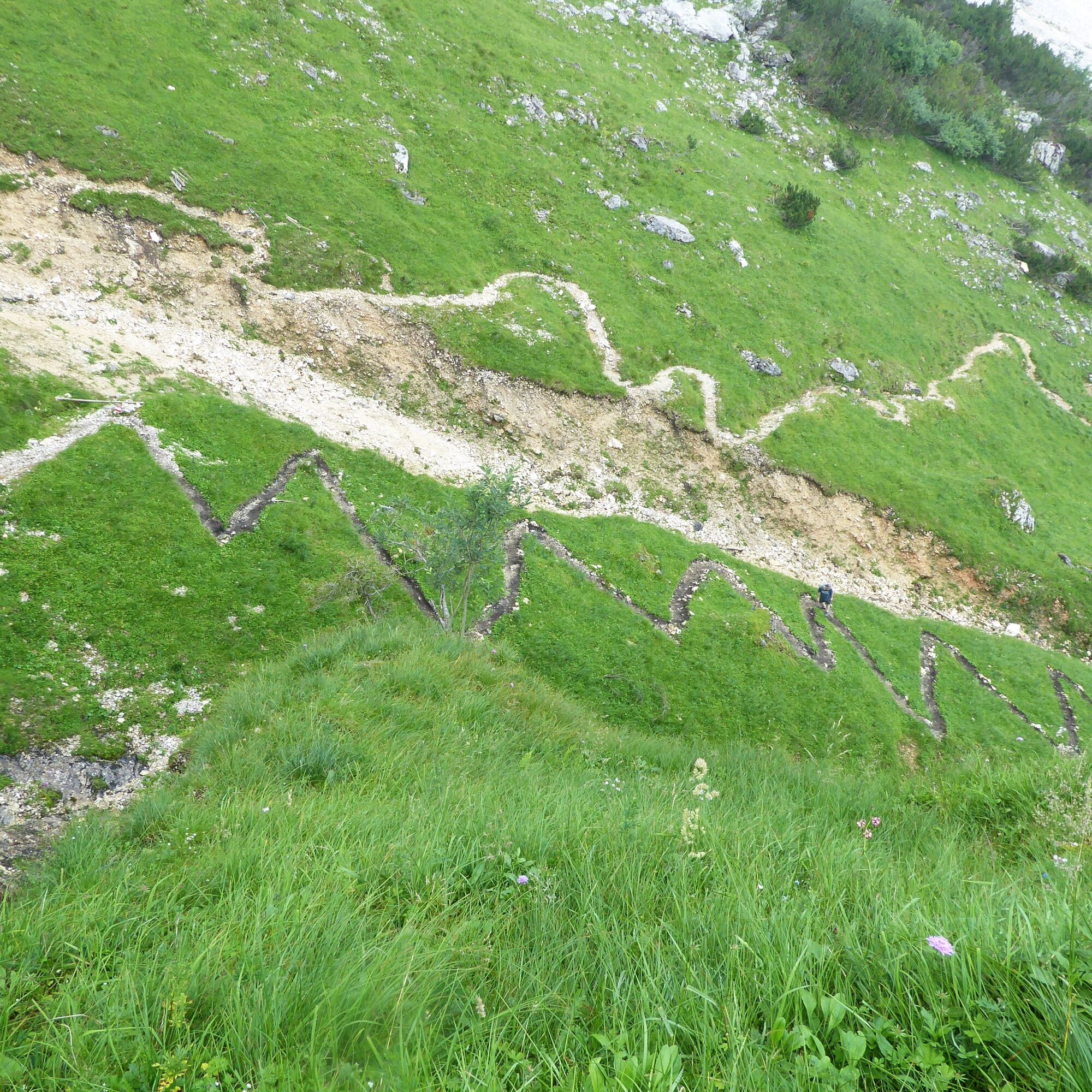
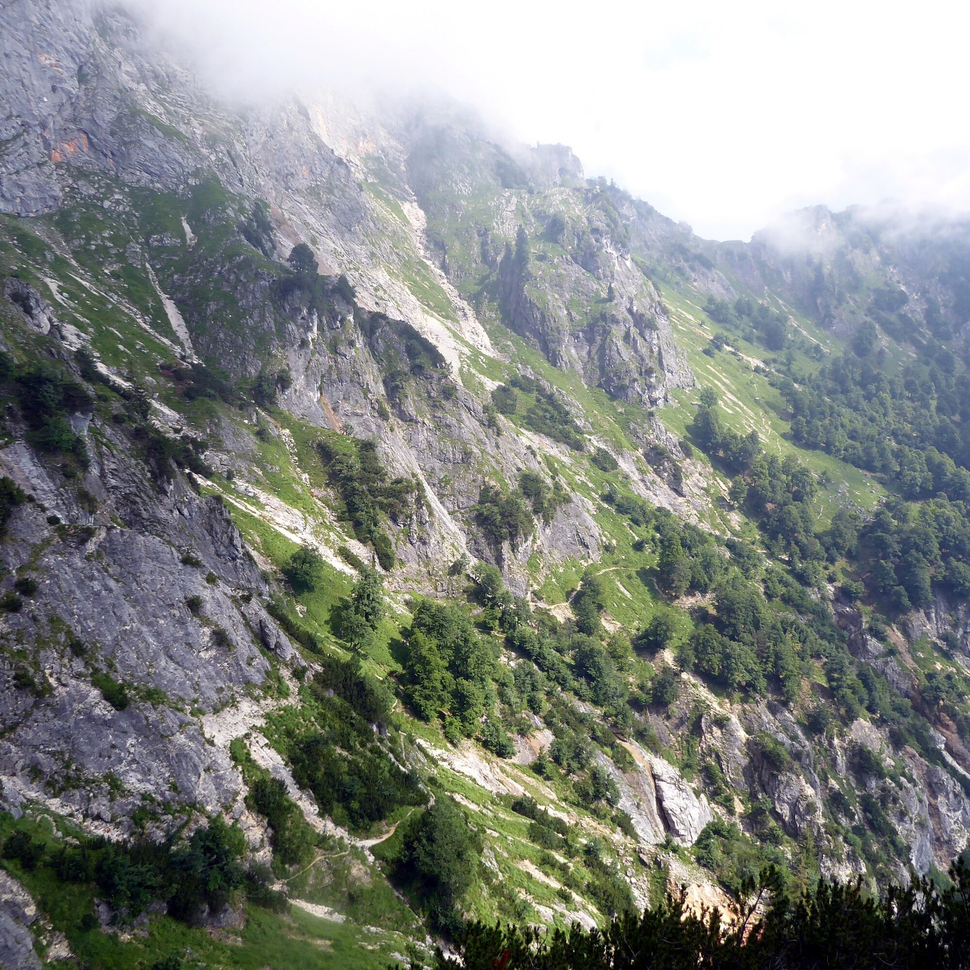
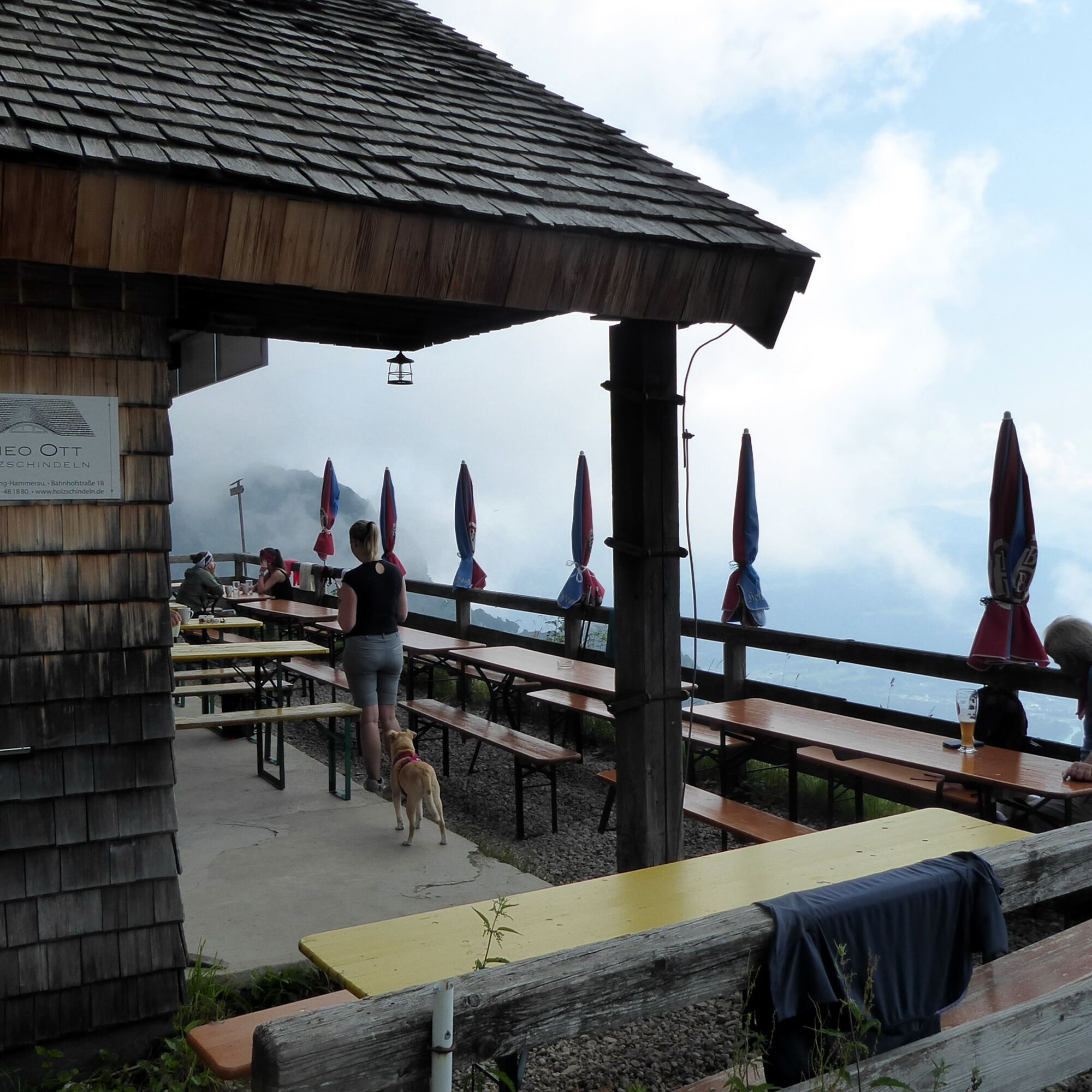
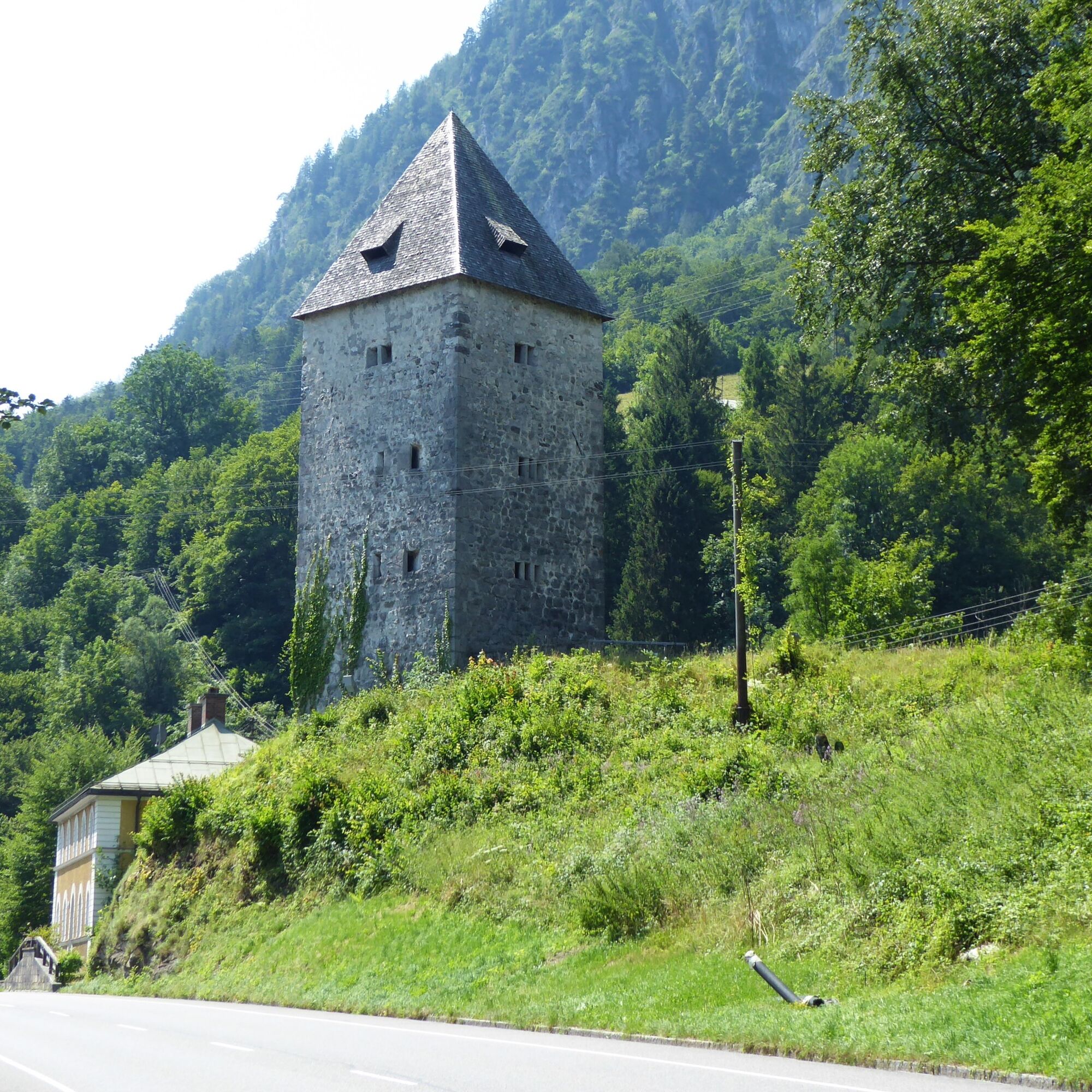

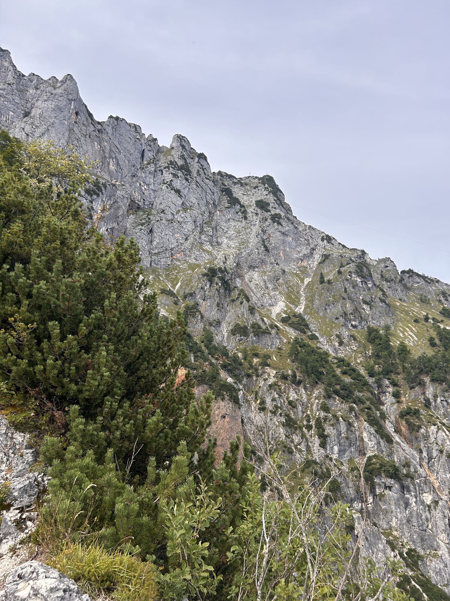
From the Glanegg Dopplerstraße bus stop, the path runs along the state road towards the castle, then over the sharp left bend to the turning to the parking lot and immediately gains height after this 15-minute warm-up stretch. At some points, the trail is secured with wire ropes through the Rosittengraben, further up it leads increasingly over countless steps. After 2 hours, just above the tree line at a last spring, the spectacular rock section of the Dopplersteig begins branching off to the right, but our lonely route runs to the left over many switchbacks to the highest point of the hike, the Schellenberger Sattel (1,438 m). The first descent meters are difficult, but the path turns to the sunny southeast side and thus definitely becomes drier. However, an additional ascent of over 180 meters must also be completed to the Toni-Lenz-Hütte (total walking time until here 3.5 hrs.). The further descent soon dives into the cool mixed forest after a short section in the dwarf pine zone and reaches the state road and the Marktschellenberg Aufstieg Eishöhle bus stop 2 hours later.
Take trolleybus 5, bus 25, or bus 840 to Grödig and bus 35 to Glanegg Dopplerstraße.
Return with bus 840 from the Marktschellenberg Aufstieg Eishöhle stop.
Very good frequency, even on Sundays and public holidays.
Timetable information and download: Online at www.salzburg-verkehr.at or on your smartphone via the free Salzburg Verkehr app for Android and iOS.
T3
www.groedig.net, www.marktschellenberg.de/tourist-information
Mag. Christian Heugl
5400 Hallein
christian.heugl@gmail.com
Photo credit: Christian Heugl
2 summer tips: After the route, a (foot) bath in the Berchtesgadener Ache or during the route a visit to the Schellenberger Ice Cave: https://eishoehle.net/die-hoehle/
 Získajte prehľad
Vždy naživo na mieste s viac ako 9 500 webovými kamerami. bergfex Ako používateľ Pro si teraz môžete pozrieť príslušné webové kamery pre mnohé zájazdy v aplikácii zájazdy z. Môžete si tak priamo prezerať aktuálne podmienky.
Získajte prehľad
Vždy naživo na mieste s viac ako 9 500 webovými kamerami. bergfex Ako používateľ Pro si teraz môžete pozrieť príslušné webové kamery pre mnohé zájazdy v aplikácii zájazdy z. Môžete si tak priamo prezerať aktuálne podmienky.


Obľúbené výlety v okolí
-
4,6
Kneifelspitze
Turistika 2,53 km -
4,3
Staufen-Bergtour
strednáTuristika 14,1 km -
4,6
Grünstein
svetloTuristika 2,57 km -
3,9
Malerwinkel Rundwanderweg
svetloTuristika 3,60 km -
3,8
Durch die Almbachklamm nach Ettenberg
Turistika 7,54 km -
4,1
Untersberg, Toni-Lenz-Hütte
Turistika 4,86 km -
3,8
Rundwanderweg zur Steinernen Agnes
Turistika 9 km -
4,4
From Koppl to the Gaisberg summit
strednáTuristika 9,86 km -
4,9
Hoher Göll über Mannlsteig
strednáTuristika 16 km -
4,9
Dötzenkopf Rundweg
strednáTuristika 6,95 km

Turistika a stopovanie


Nenechajte si ujsť ponuky a inšpiráciu na ďalšiu dovolenku
Vaša e-mailová adresa bol pridaný do poštového zoznamu.





