


Russbach: Neualm-Knalltörl-Großer Bretkogel-Gamsfeld
Fotografie našich používateľov
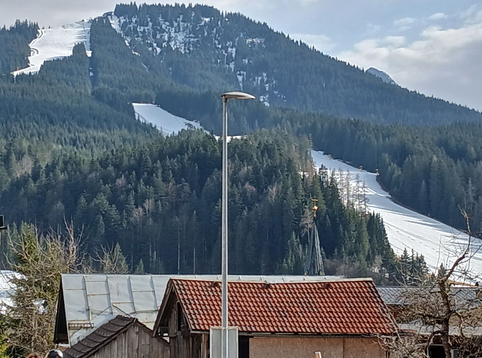
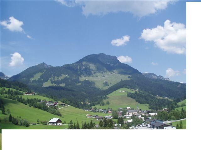
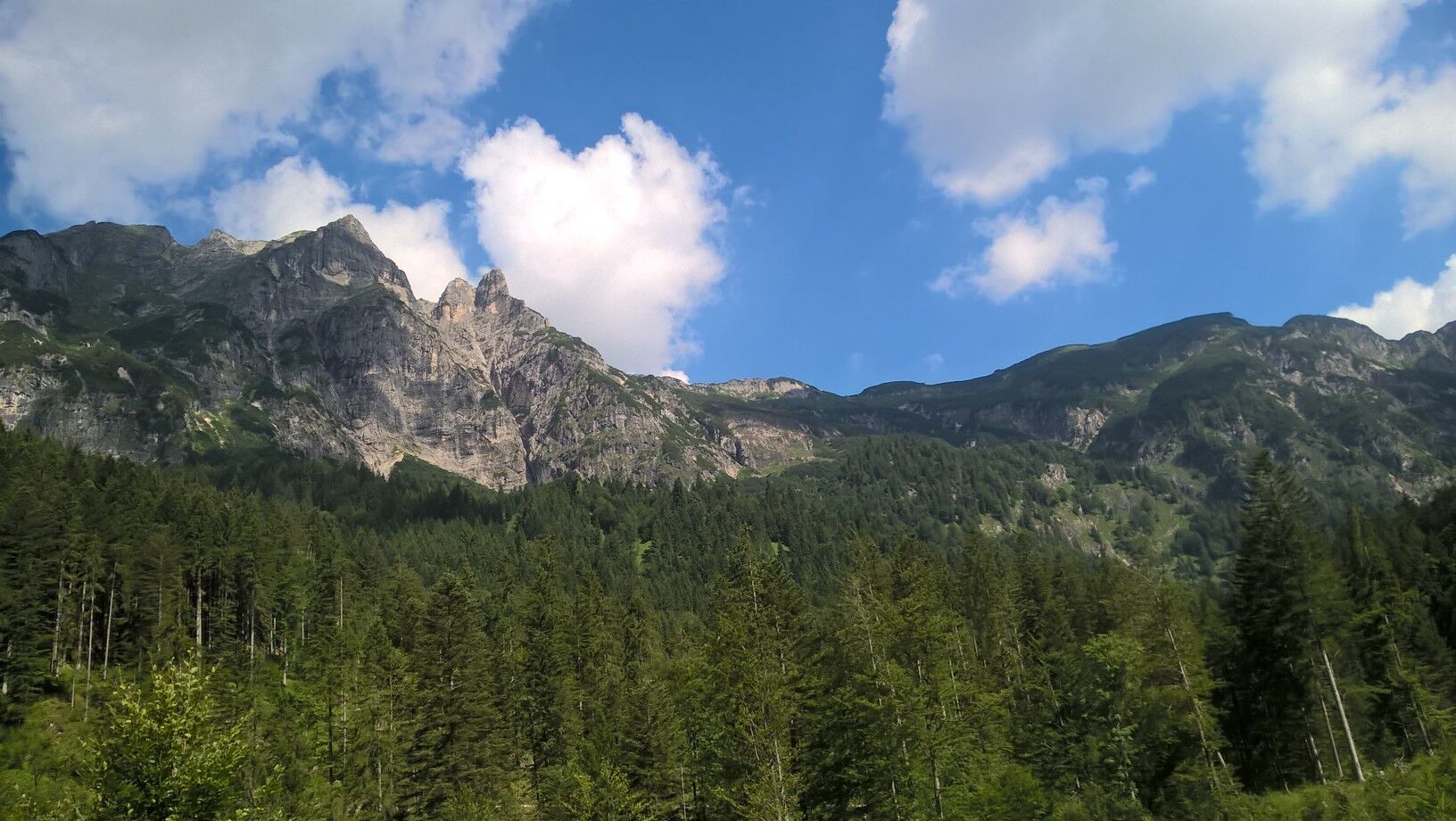
The Gamsfeld is the local mountain of Russbach and at the same time the highest peak of the Osterhorn group. The hike over Neualm and the Wilden Jäger is particularly rewarding. The route leads over green...
The Gamsfeld is the local mountain of Russbach and at the same time the highest peak of the Osterhorn group. The hike over Neualm and the Wilden Jäger is particularly rewarding. The route leads over green alpine meadows, rugged rock formations, and a pine scrub field to the summit. Enjoy the breathtaking view of the surrounding mountains, such as the Dachstein Glacier, Gosaukamm, and Tennengebirge.
Be sure to visit the alpine huts on the descent. You are well advised to try their homemade products, such as cheese, butter, and bread.

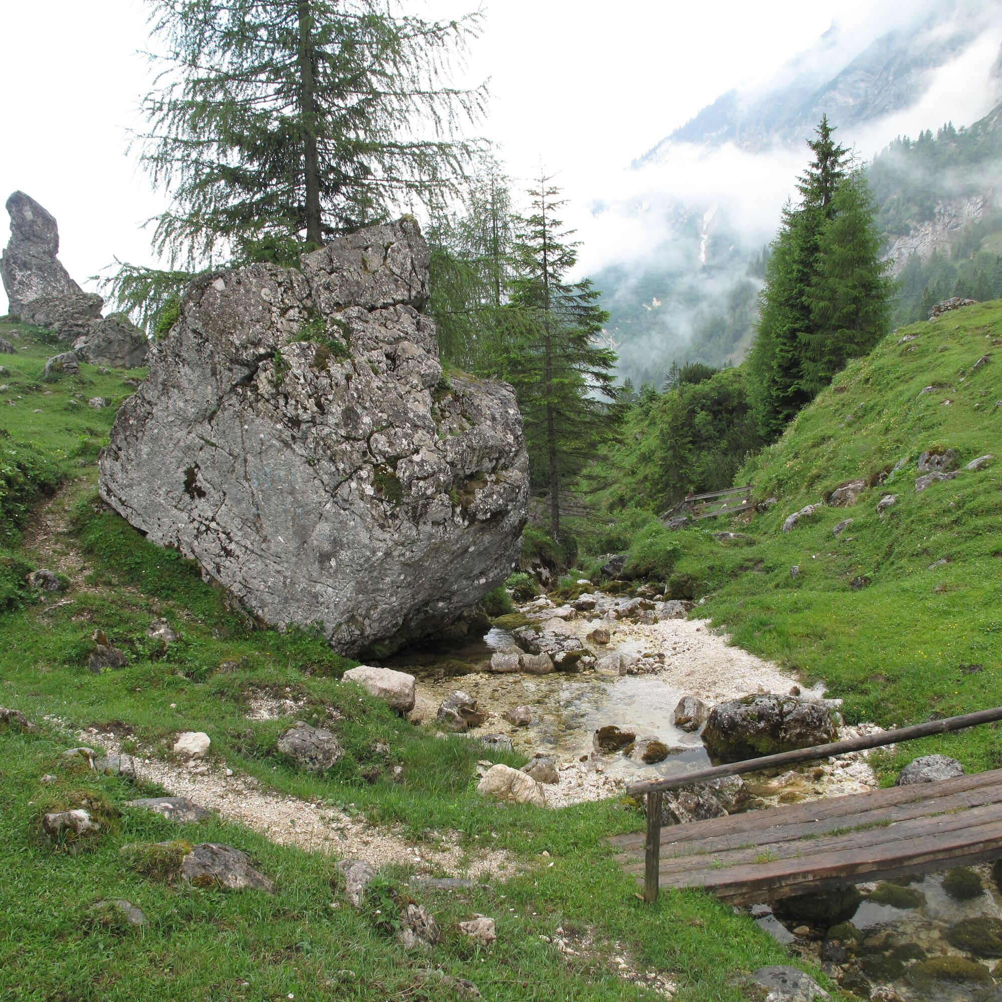
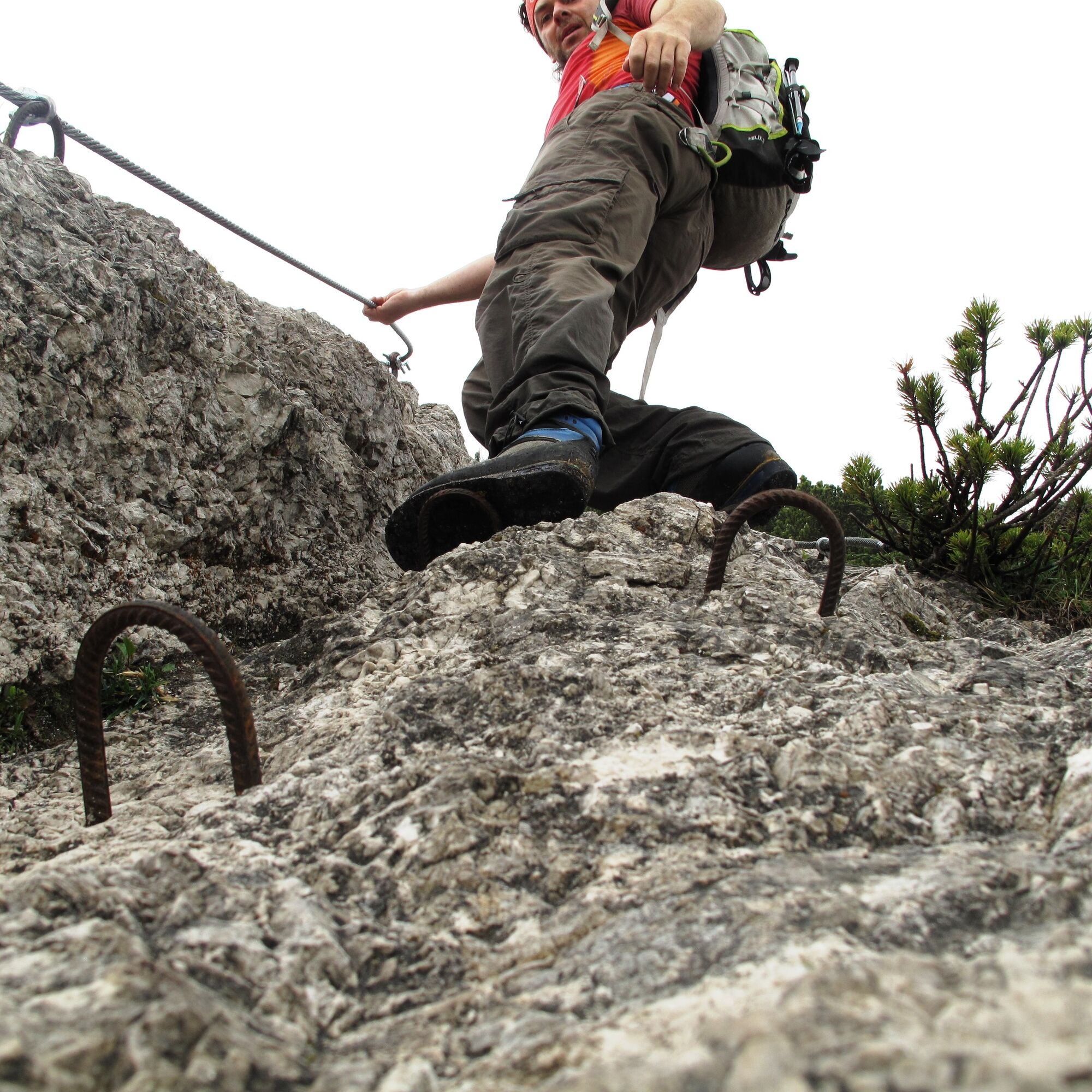
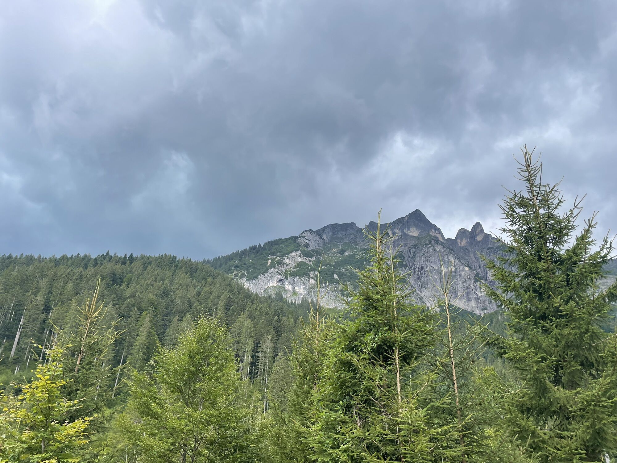
Hike route no. 38 to Neualm, continue eastwards to Knalltörl, then turn left to Brettkogel (1658m). Now follows a very steep descent via the Wilden Jäger (rope secured) and further through a dense pine scrub field over the so-called “Haberfeld” to the Gamsfeld (2028m). Descent via Traunwandalm route no. 35 or via Angerkaralm route no. 36.
Sturdy shoes, rain jacket, and a snack are recommended.
You should be sure-footed and free from dizziness on the route as it is alpine terrain. Securing with a rope is recommended.
Coming from the A10 motorway, take the Golling exit towards Abtenau and Russbach. From Bad Ischl, drive via Bad Goisern and Gosau to Russbach.
You can reach Russbach by Postbus no. 470 from Gosau and Golling. Information on departure times can be found at www.oebb.at
You will find sufficient parking spaces directly in the village center of Russbach or at the Rinnbach parking lot.
Tourism Association Russbach: www.russbach.info
The alpine pastures are farmed from the end of June until September, and the dairy farmers serve excellent homemade cheese specialties.
Webové kamery z prehliadky
-
Hornspitz Talstation
-
Snowpark Dachstein West
-
Edtalm
-
Bergstation Hornbahn - Hornspitz
-
Bergstation Hornbahn - Hornspitz
-
Bergstation Hornbahn - Hornspitz
-
Bergstation Hornbahn - Hornspitz
-
Bergstation Hornbahn - Hornspitz
-
Bergstation Hornbahn - Hornspitz
-
Bergstation Hornbahn - Hornspitz
-
Postalm Zauberteppich
-
Postalm Zauberteppich
-
Postalm Zauberteppich
-
Postalm Zauberteppich
-
Postalm Zauberteppich
-
Postalm Zauberteppich
-
Postalm Zauberteppich
-
Postalm Zauberteppich
-
Hornspitz II Bergstation
-
Gosau am Dachstein - COOEE alpin
-
Snowpark Dachstein West
-
Snowpark Dachstein West
-
Snowpark Dachstein West
-
Snowpark Dachstein West
Obľúbené výlety v okolí
-
3,8
Ostuferwanderweg
svetloTuristika 16,2 km -
4,7
Tour around the Gosaukamm
strednáTuristika 20,9 km -
4,7
Tour around the Lake Gosau
svetloTuristika 4,43 km -
4,5
Hike to the Hütteneckalm
svetloTuristika 8,70 km -
4,9
Schwarzeneckalm-Bleckwand
svetloTuristika 5,94 km -
4,8
Gennerhorn über Lämmerbach
strednáTuristika 10,2 km -
4,7
Hütteneck ski & snowshoe tour
strednáSnežnice 3,88 km -
4,9
„Hoher Sarstein 1975m“ - Hallstätter Genusstour - Hallstatt - Obertraun - Bad Ischl
ťažkéTuristika 23,2 km -
4,7
Vorderer u. hinterer Gosausee
strednáTuristika 15,0 km -
4,7
Katrin
strednáTuristika 2,95 km
Turistika a stopovanie


Nenechajte si ujsť ponuky a inšpiráciu na ďalšiu dovolenku
Vaša e-mailová adresa bol pridaný do poštového zoznamu.