


5A | Grubalmkar trail
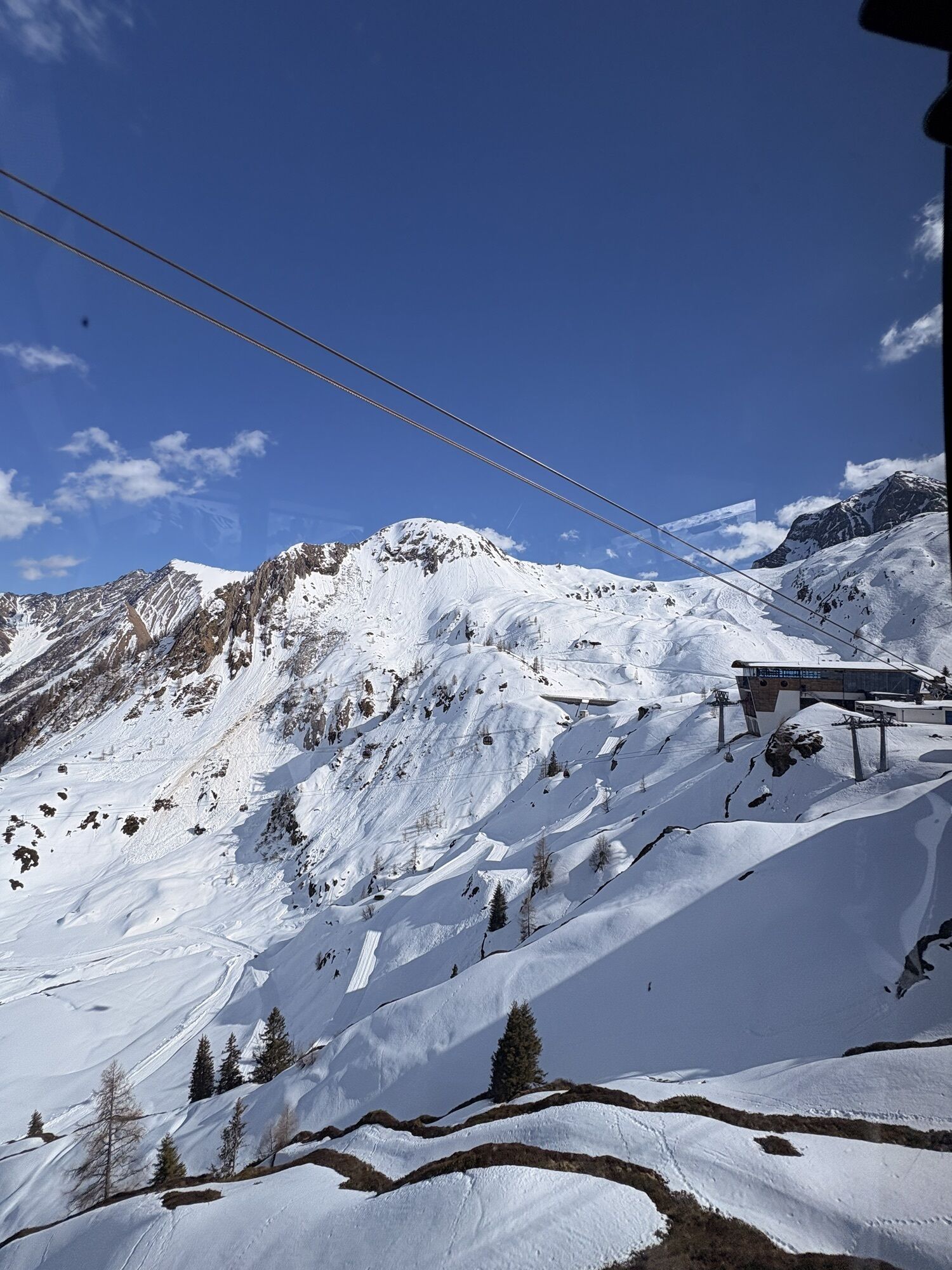
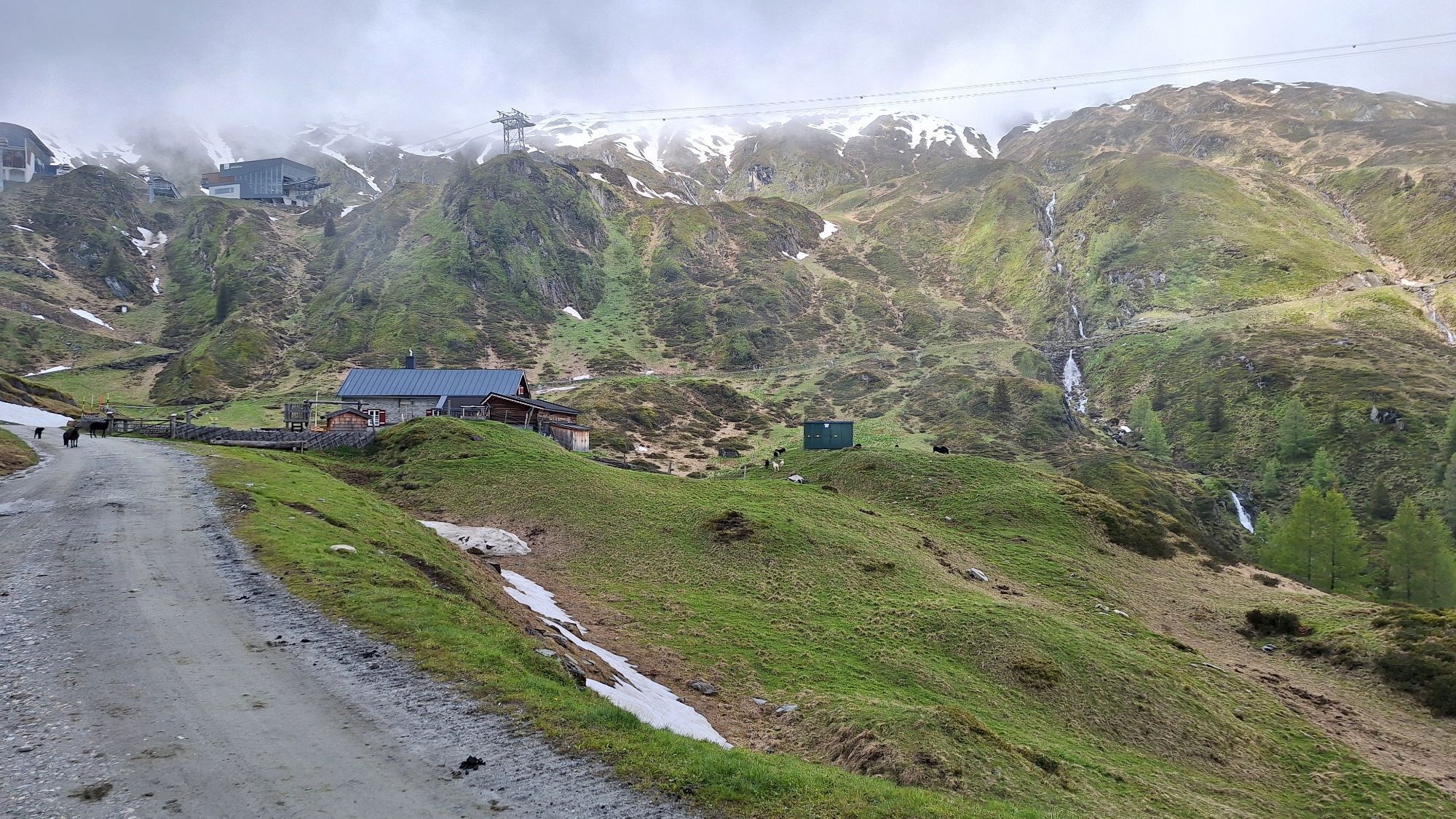
At an altitude of around 1,950 metres, the connecting path branches off from Krefelderweg 711 in a north-westerly direction. The path leads above the dam wall, past the Langwied cable car and reaches a...
At an altitude of around 1,950 metres, the connecting path branches off from Krefelderweg 711 in a north-westerly direction. The path leads above the dam wall, past the Langwied cable car and reaches a small high moor at the Häuslalm. From there, the trail continues gently uphill to a mountain ditch before climbing westwards in serpentines to an altitude of around 2,240 m. There you will meet the Alexander Enzinger Weg, which continues south-east over the Maiskogel to Kaprun.
direction of the Maiskogel and further on towards Kaprun.
good footwear, rain and sun protection
Bus no 660
Webové kamery z prehliadky
Obľúbené výlety v okolí
-
4,8
Sigmund Thun Klamm, Klammsee, Bürgkogel
svetloTuristika 4,56 km -
4,5
Sigmund Thun Klamm
svetloTuristika 3,10 km -
4,0
Maurerkogel (Top)
Turistika 10,5 km -
4,9
Hochsonnberg Runde
strednáMountainbike 59,8 km -
4,4
Thumersbach, Runde um den Zeller See
svetloTuristika 13,3 km -
4,9
Kaiser-Franz-Josefs-Höhe to Oberwalderhütte
ťažkéTuristika 5,52 km -
4,9
Großes Wiesbachhorn 3564 mnv Kaprun, Austrija
ťažkéTuristika 13,4 km -
3,9
Großglockner Hochalpenstrasse
ťažkéCyklistika 20,2 km -
4,6
3 Oktober Fusch Walcher Grung und Hohalm
strednáTuristika 8,57 km -
4,3
Bruck: 732+736+730 | Drei Brüder
ťažkéTuristika 16,1 km
Turistika a stopovanie


Nenechajte si ujsť ponuky a inšpiráciu na ďalšiu dovolenku
Vaša e-mailová adresa bol pridaný do poštového zoznamu.