







Via the Lichteneggersteig to Zwölferhorn
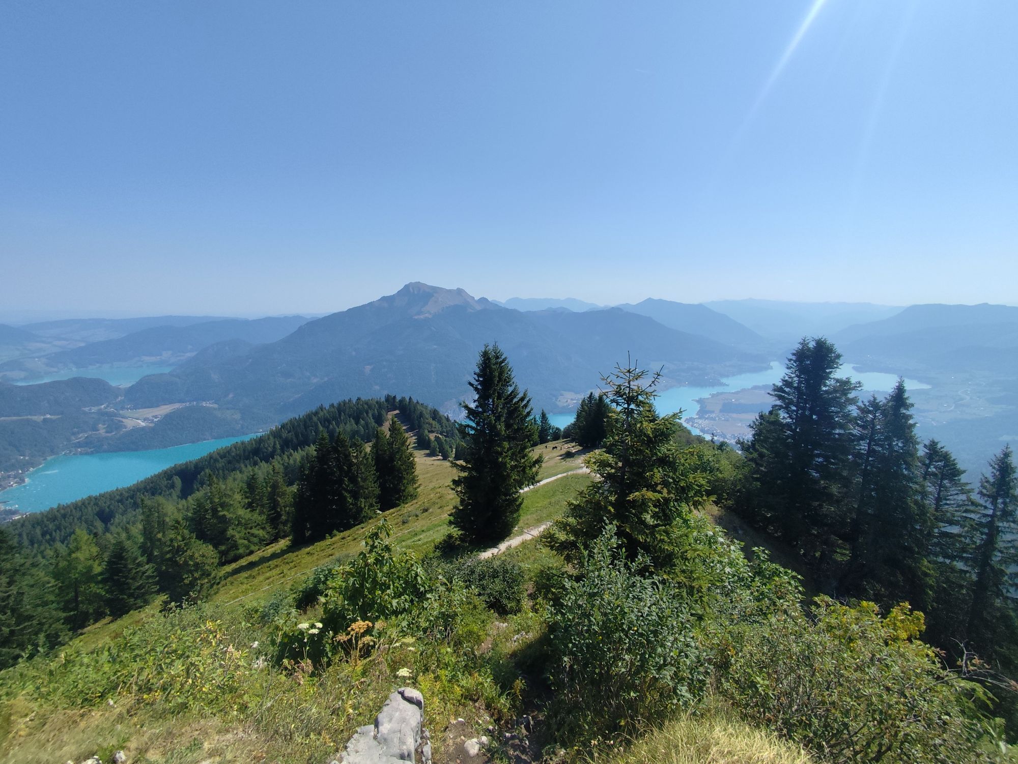
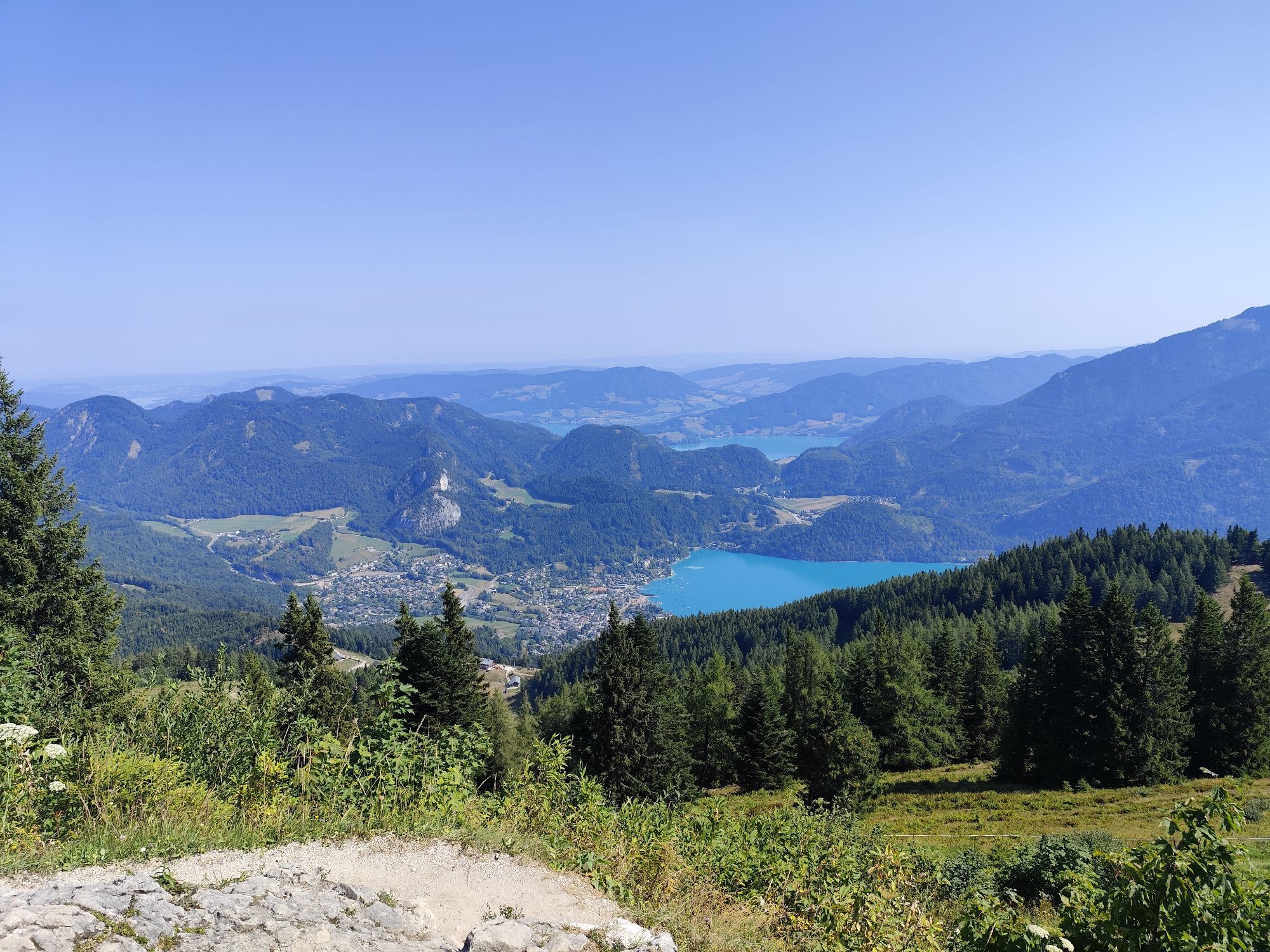
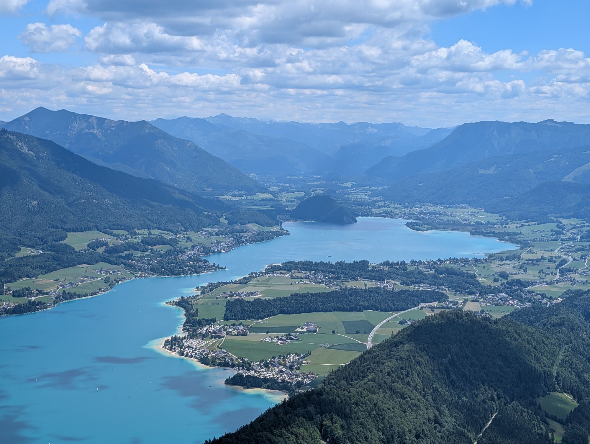
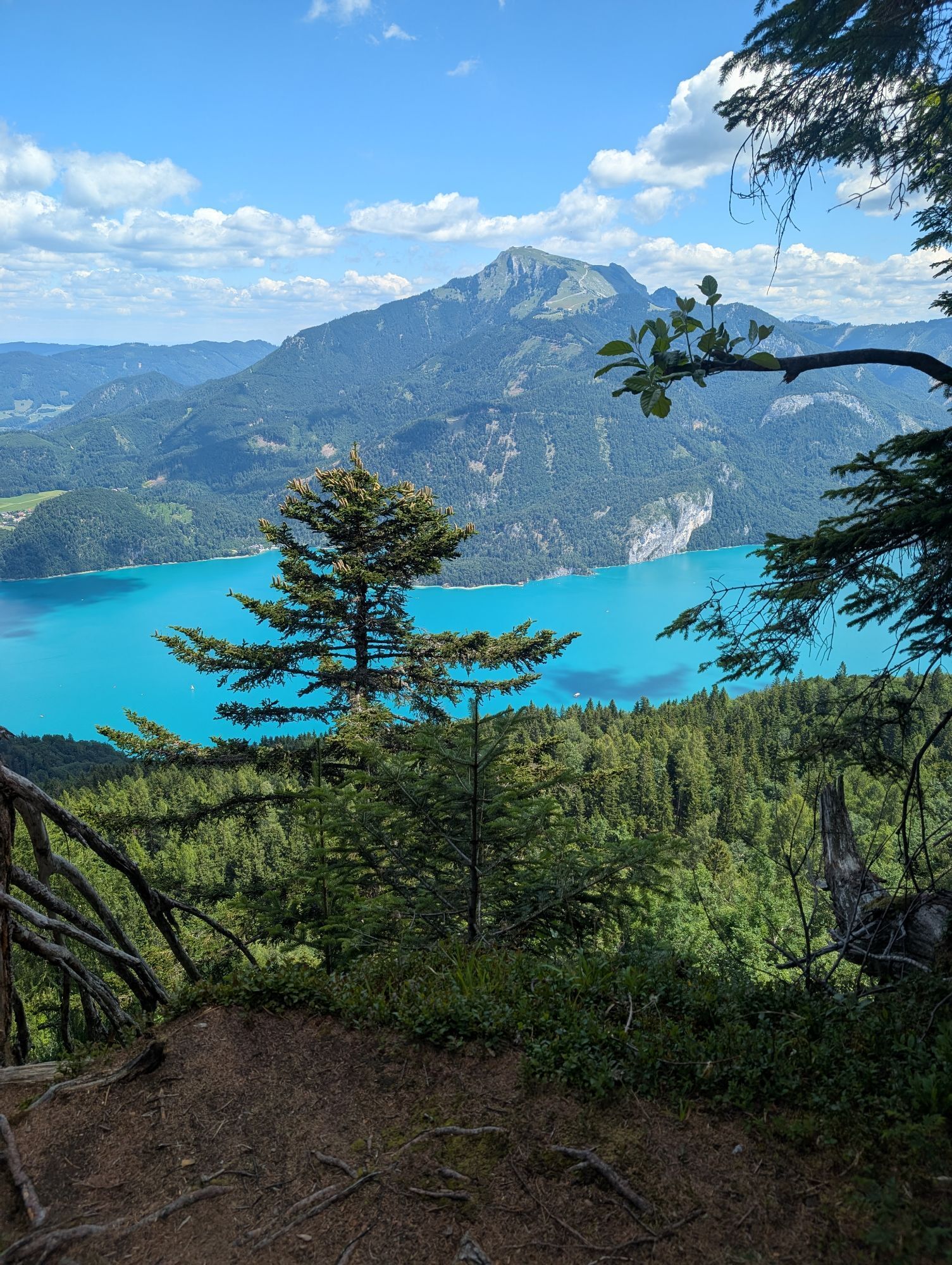
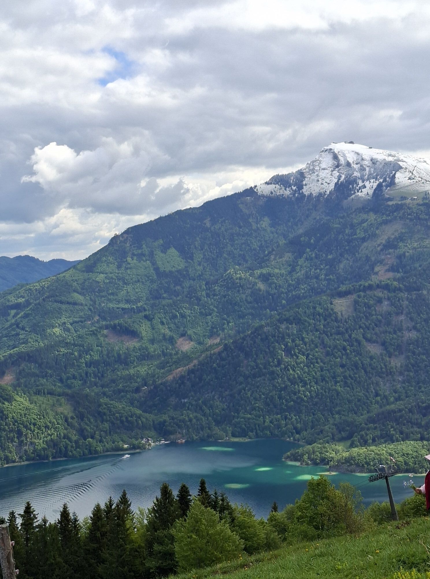
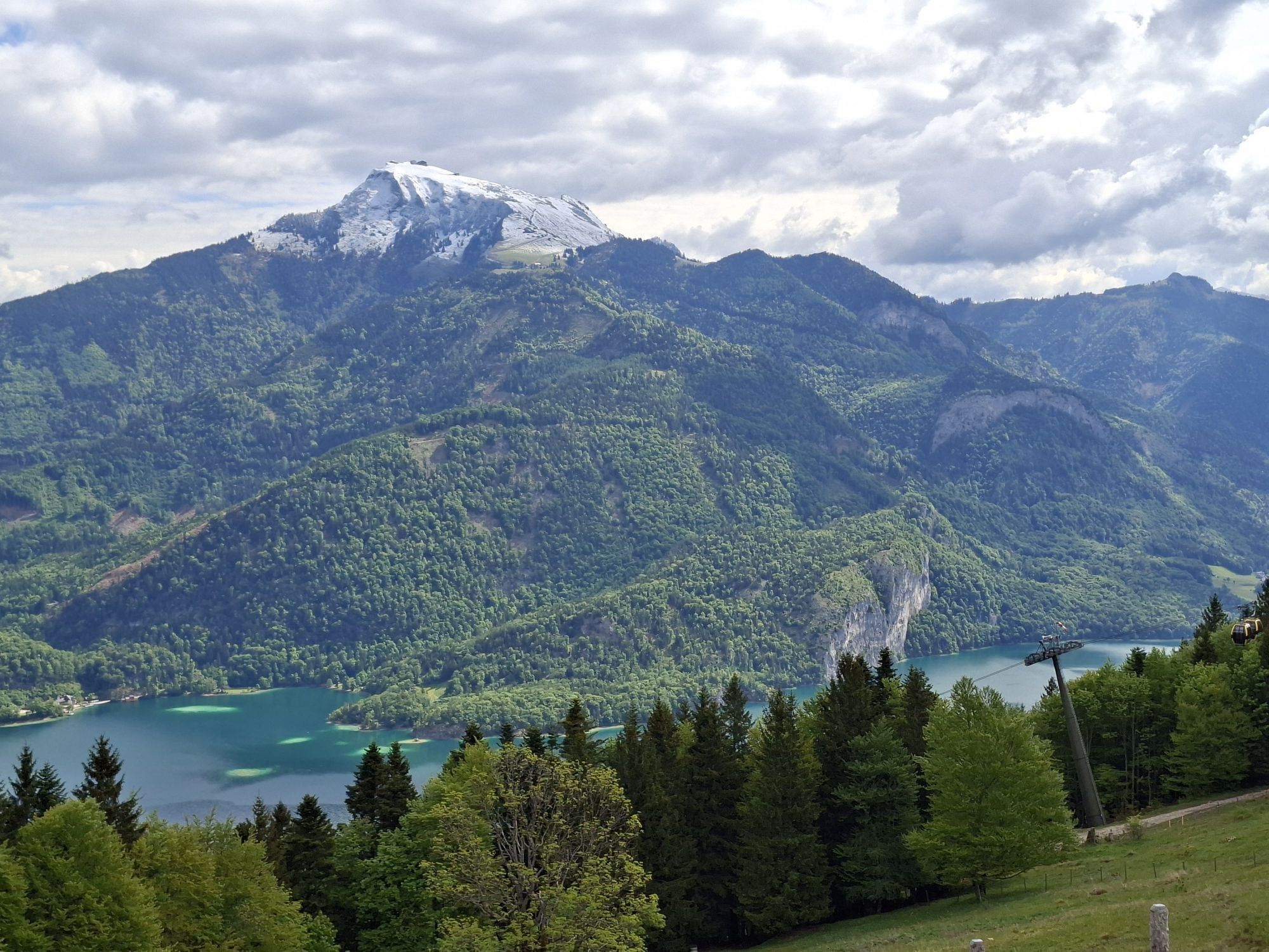
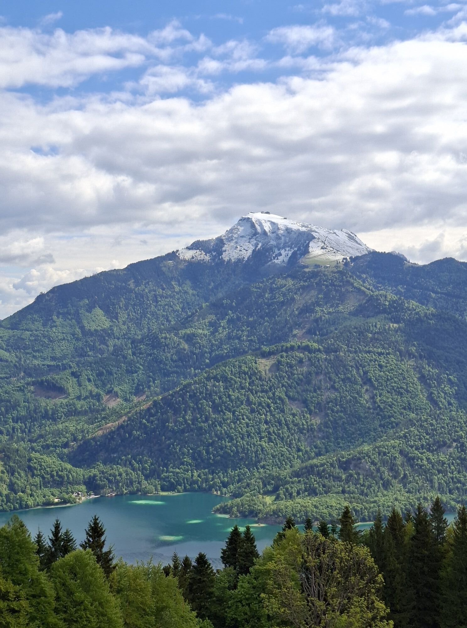
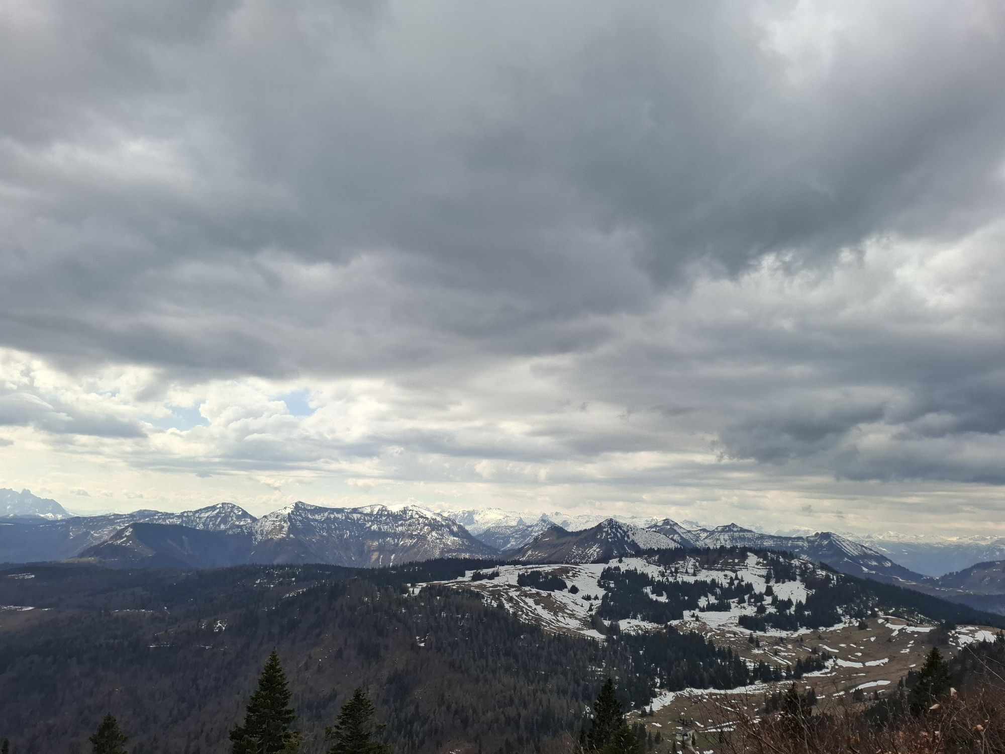
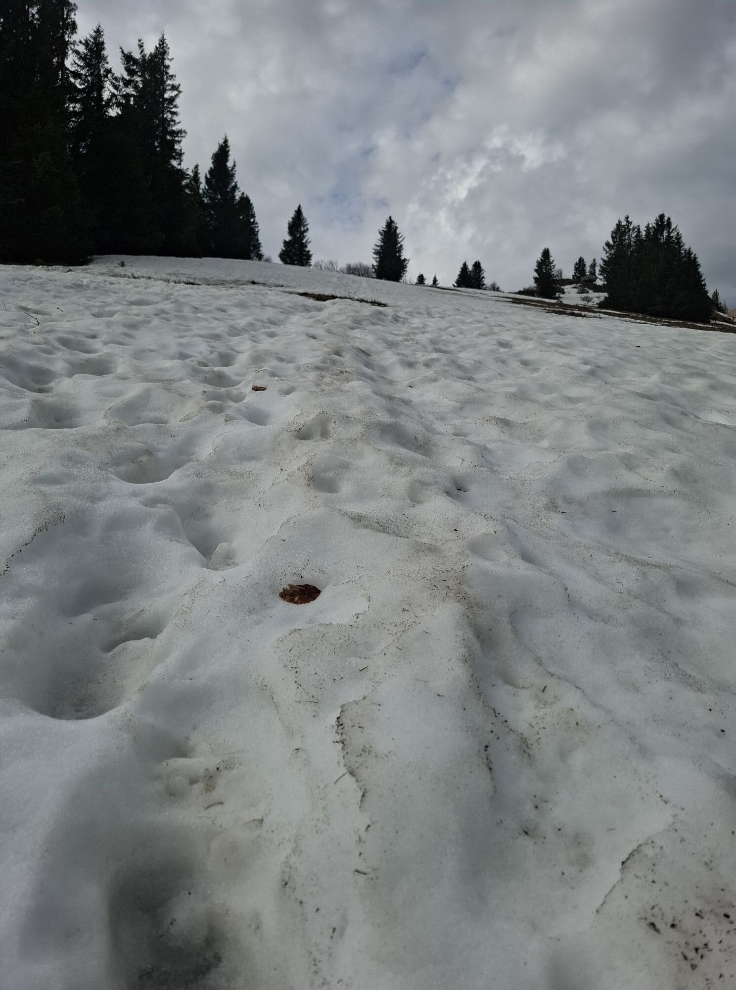
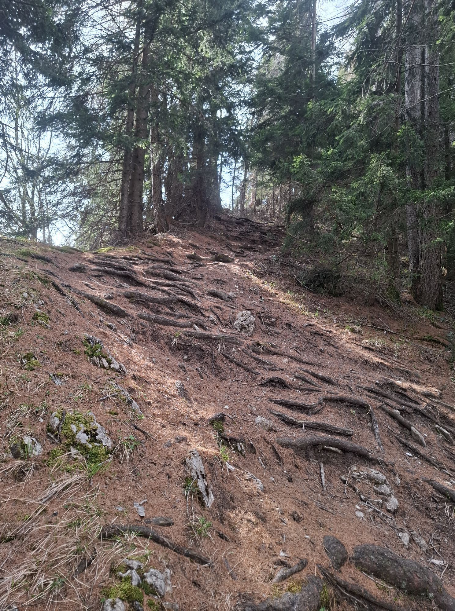
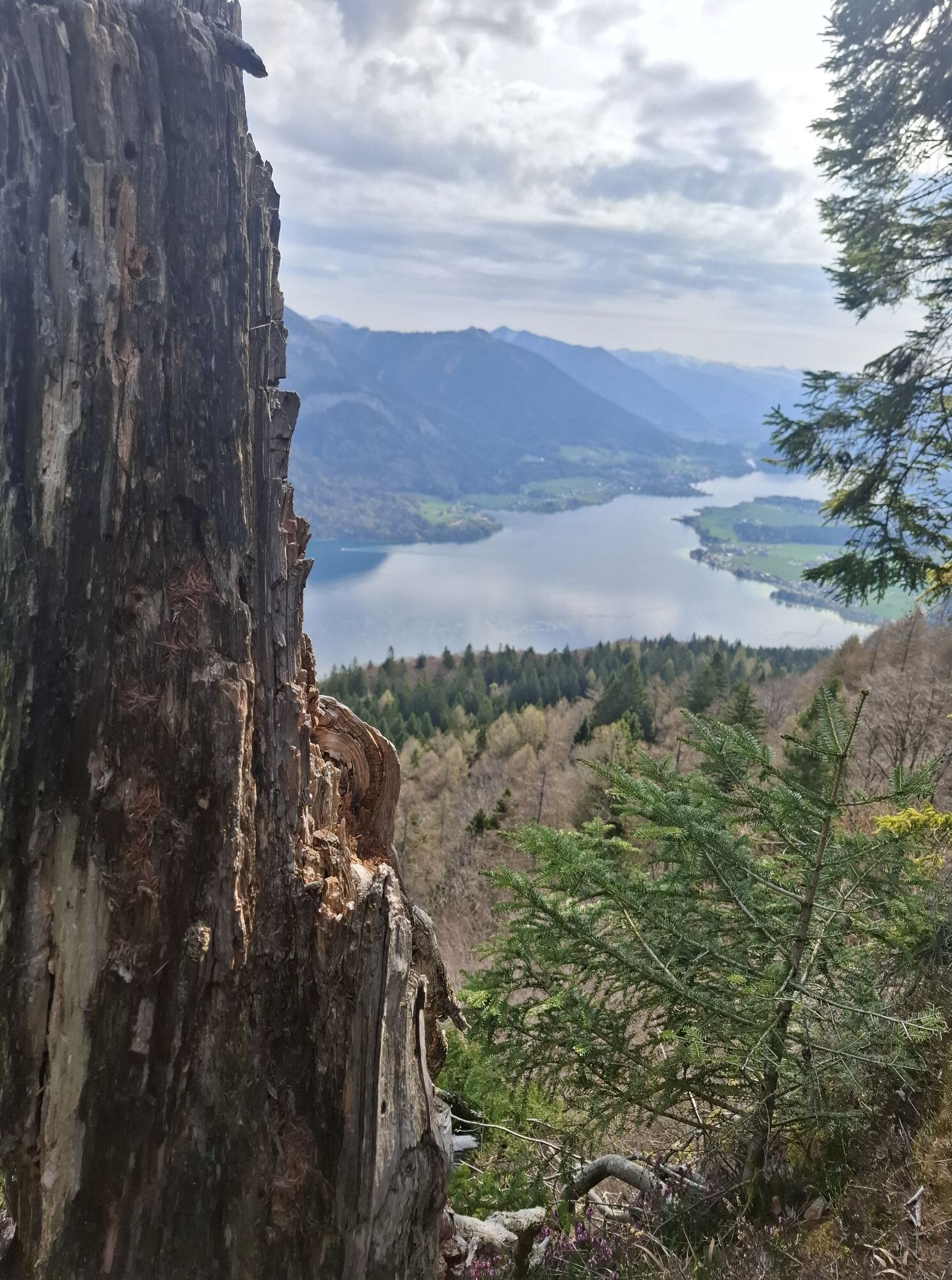
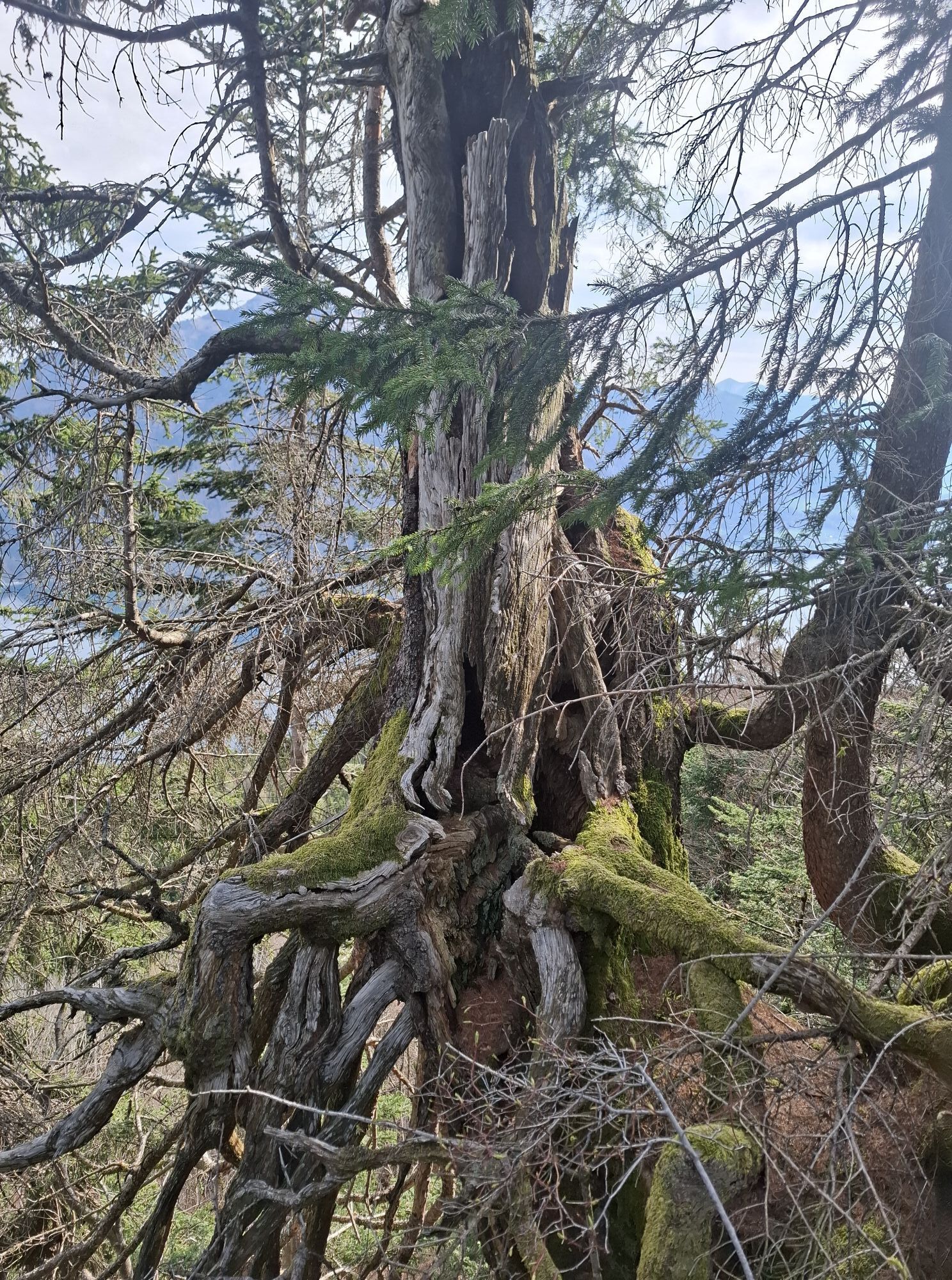


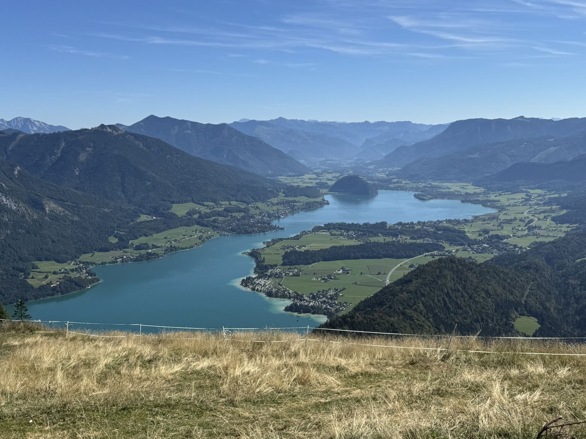
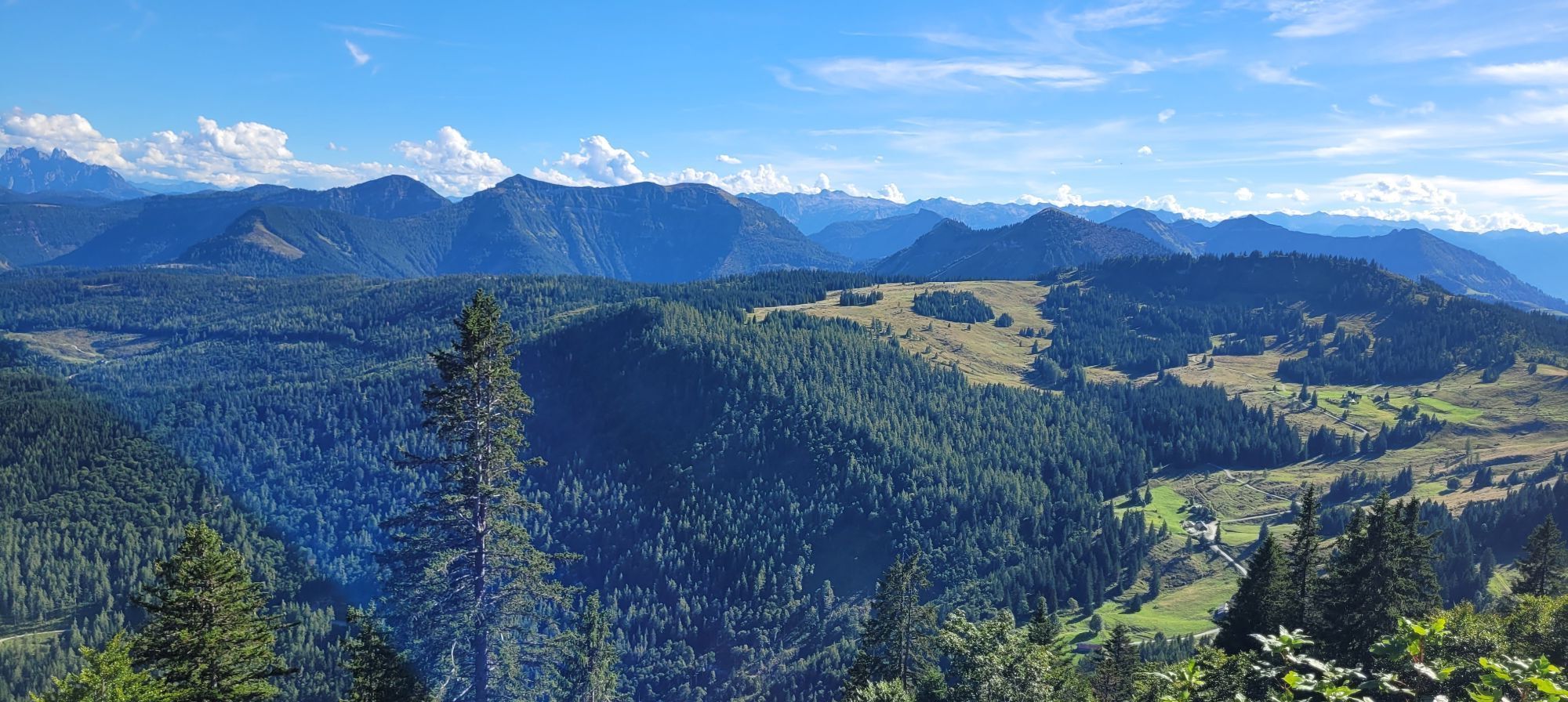
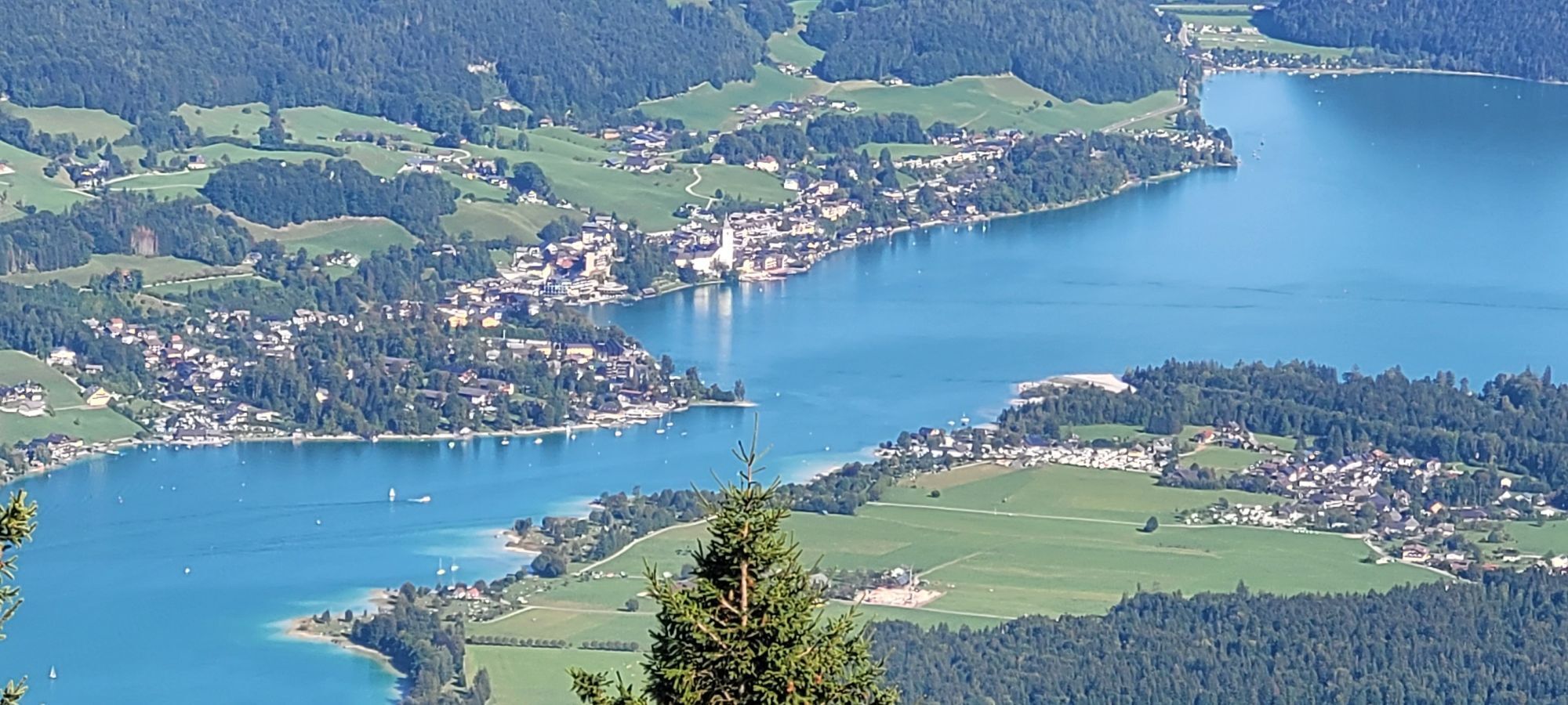

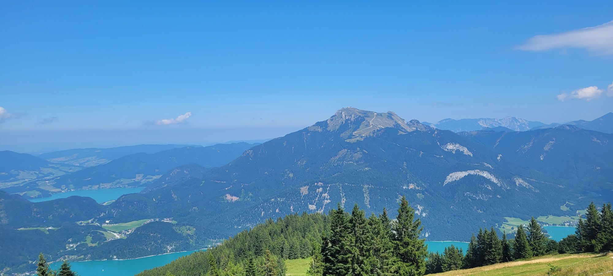
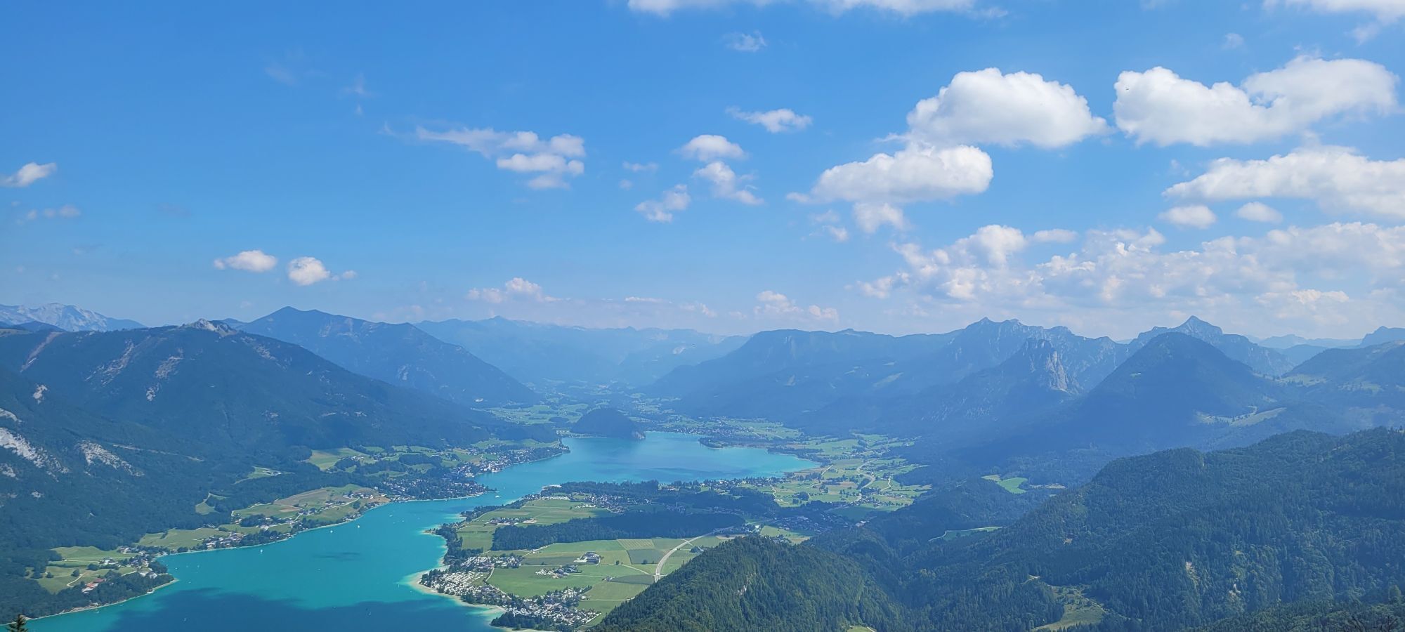
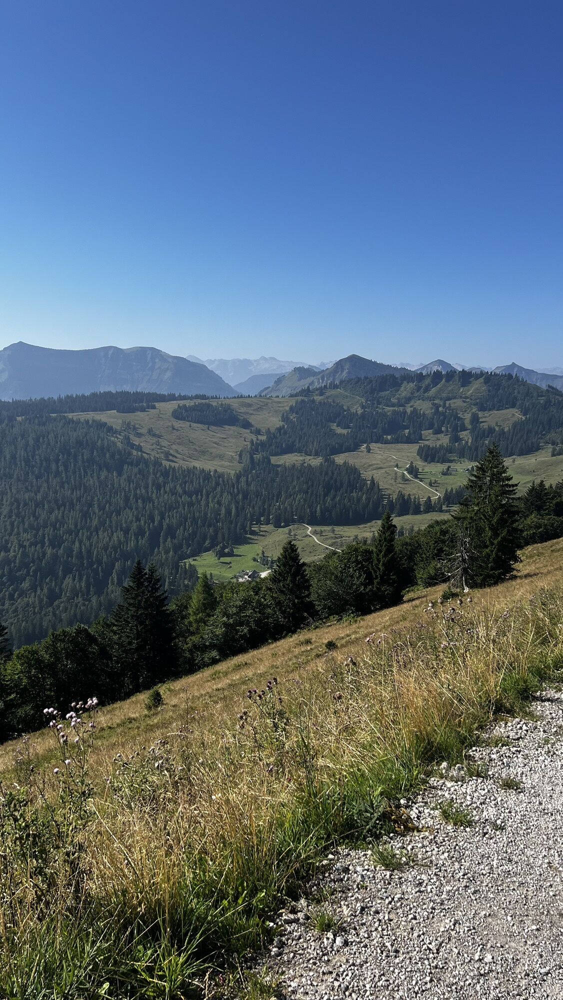

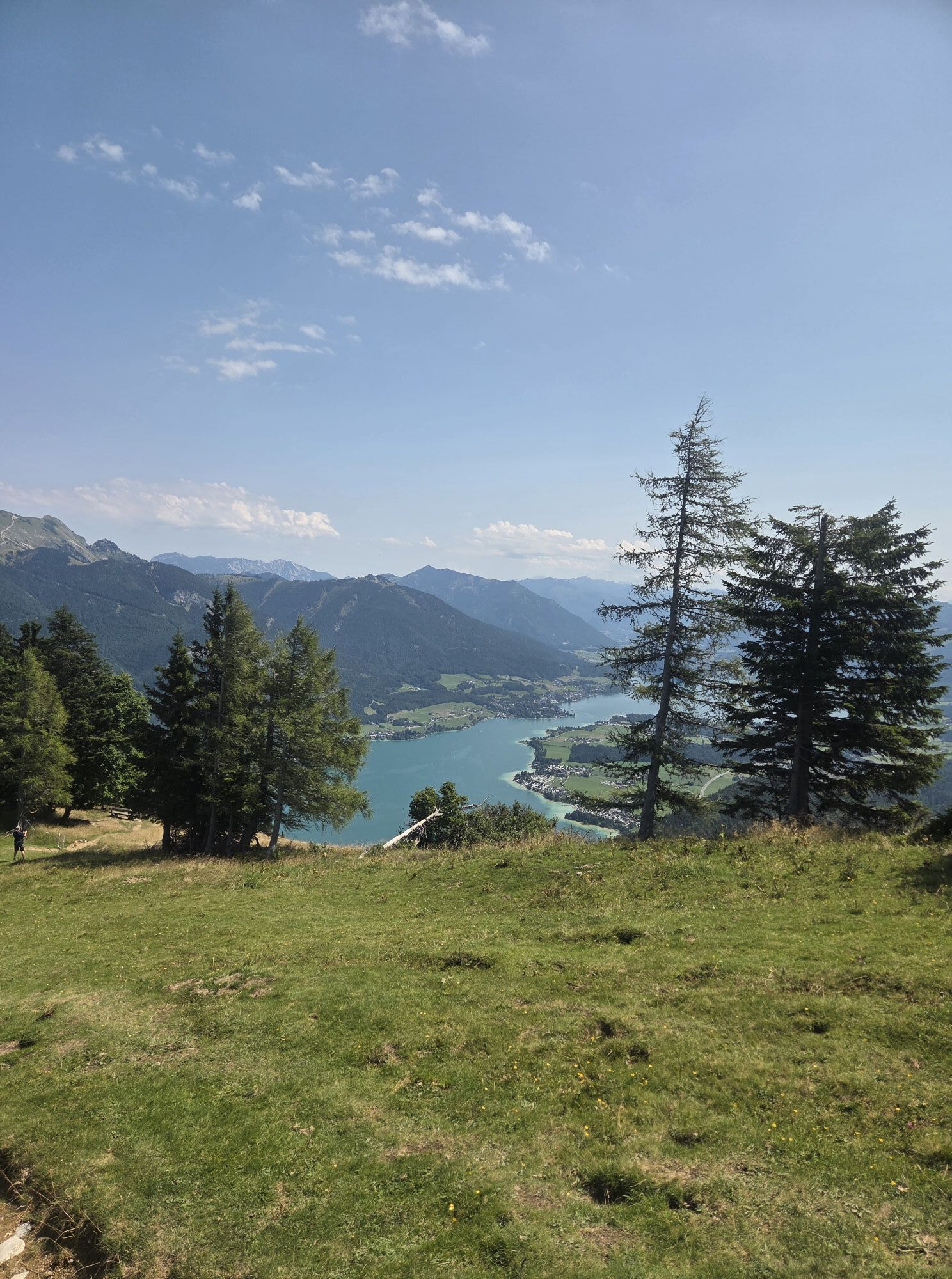


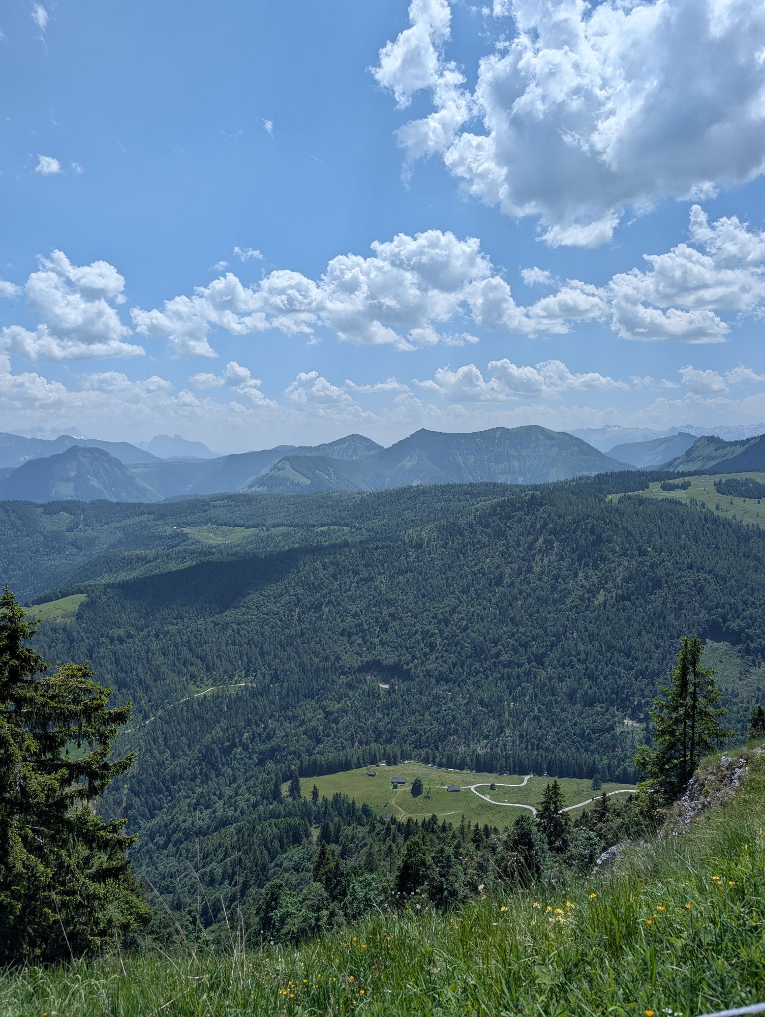
The hike begins at the end of the valley Tiefbrunnau at the paid parking lot Kühleiten, through shady forests, then continues towards Strubneralm via the Lichteneggersteig to the Zwölferhorn. A detour...
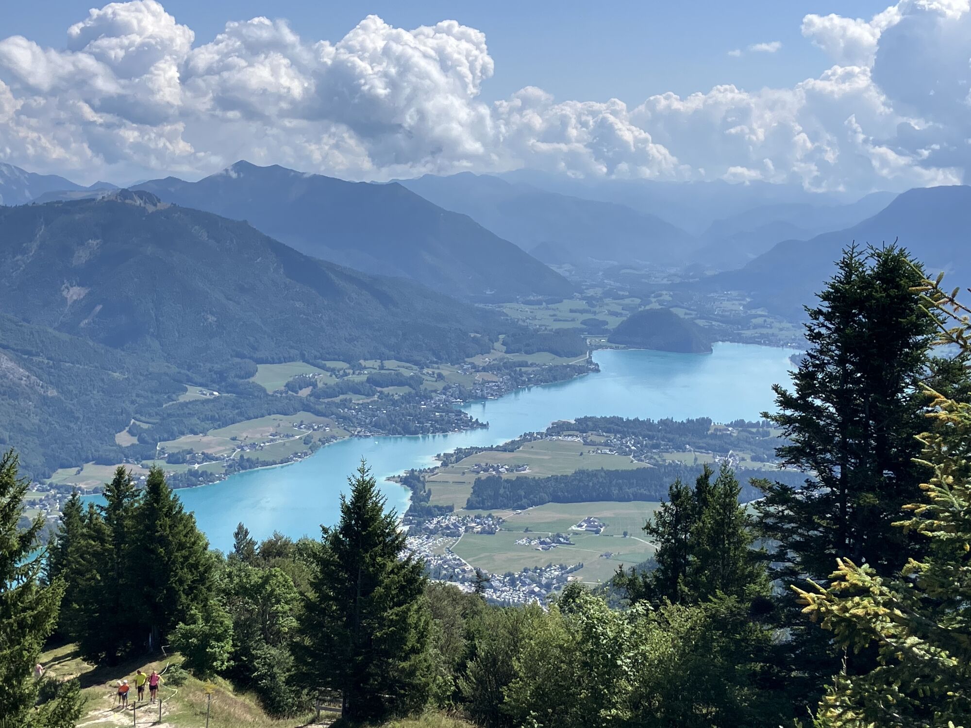
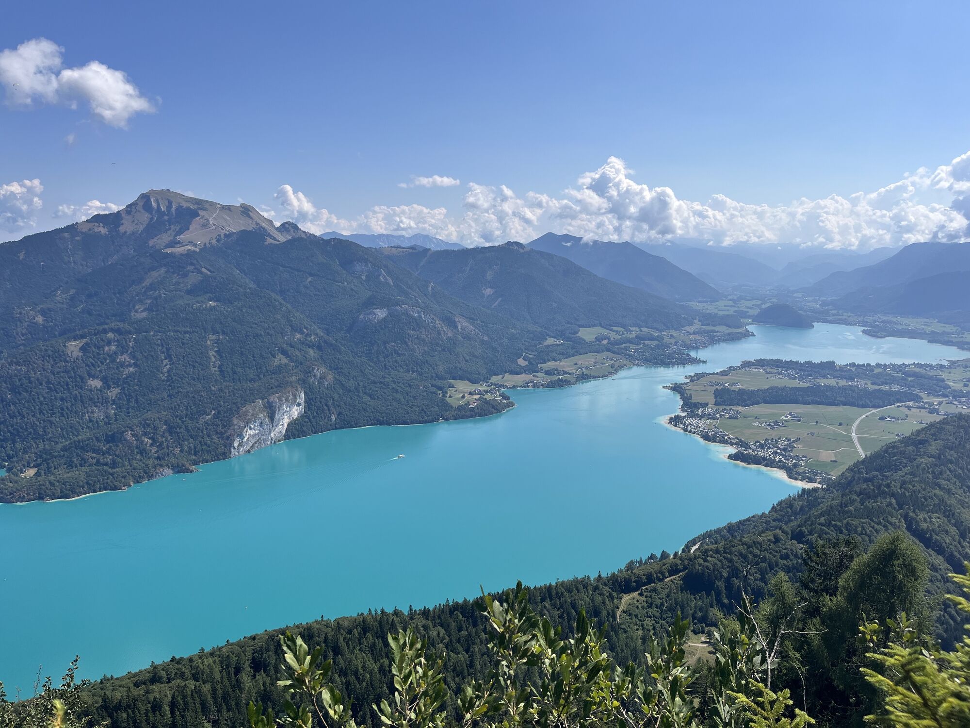
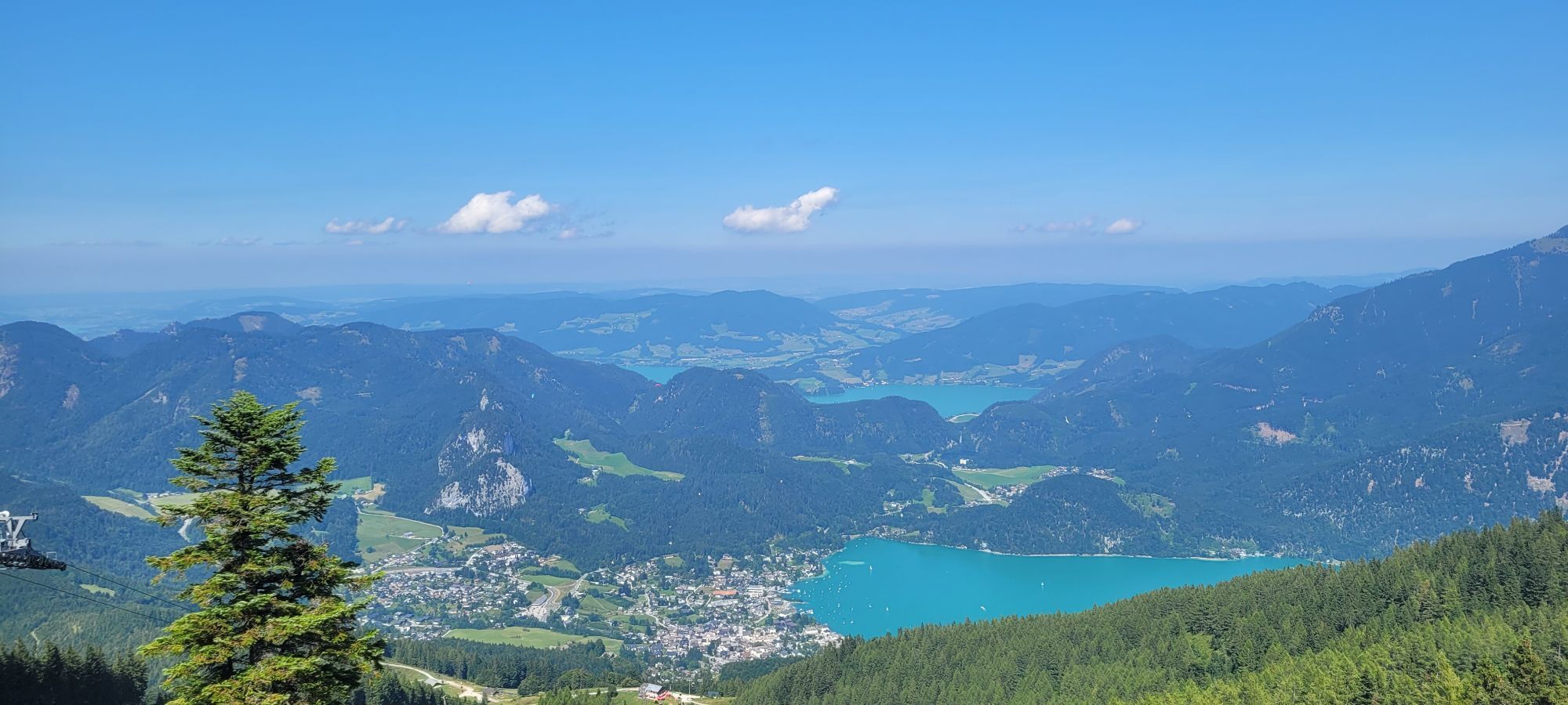
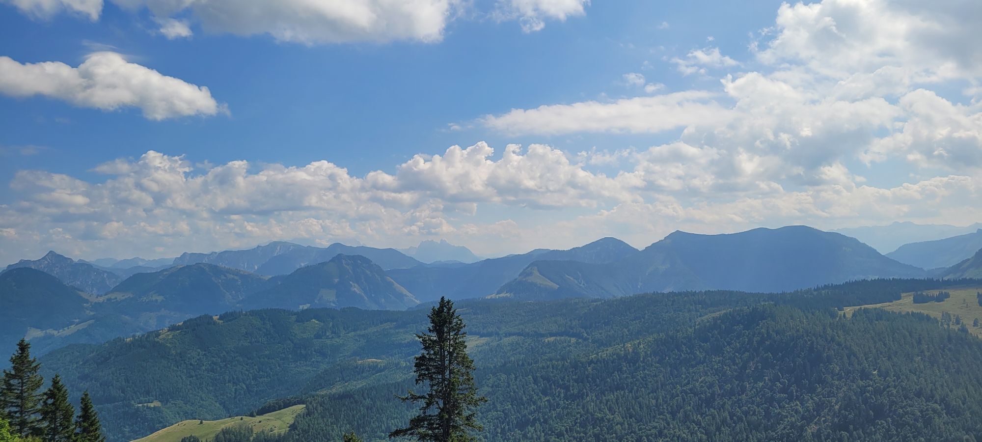
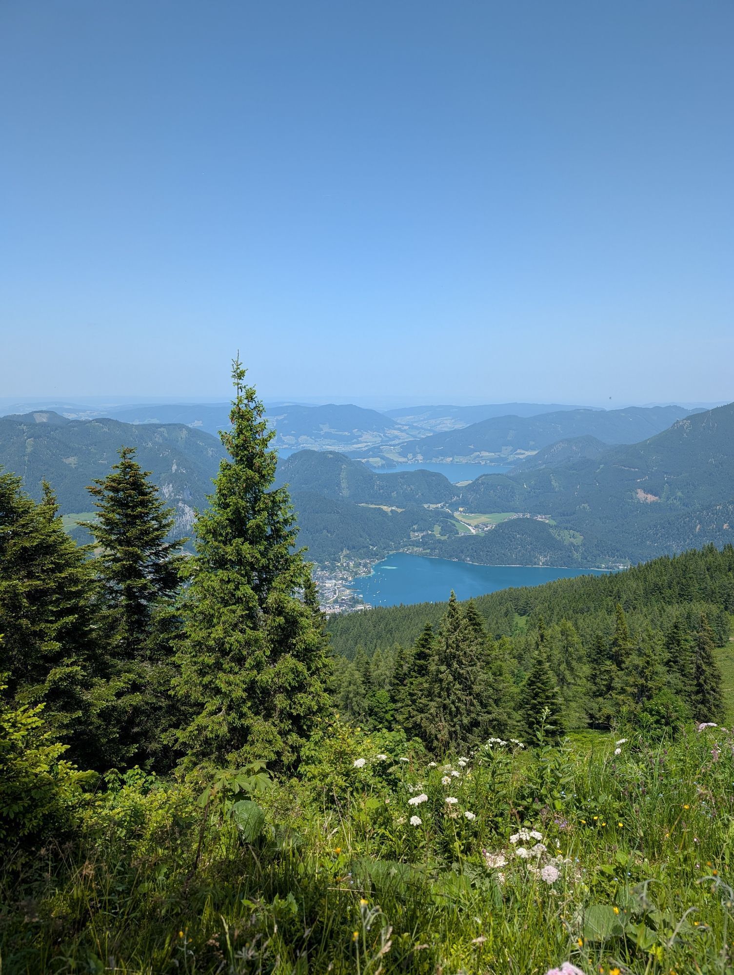
The hike begins at the end of the valley Tiefbrunnau at the paid parking lot Kühleiten, through shady forests, then continues towards Strubneralm via the Lichteneggersteig to the Zwölferhorn. A detour to the Pillstein height is worthwhile just because of the view. The descent is via Sausteigalm or alternatively via Elferstein (challenging).
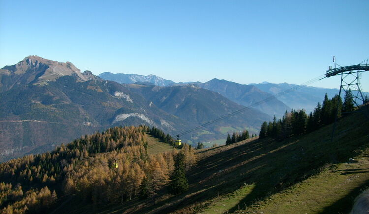
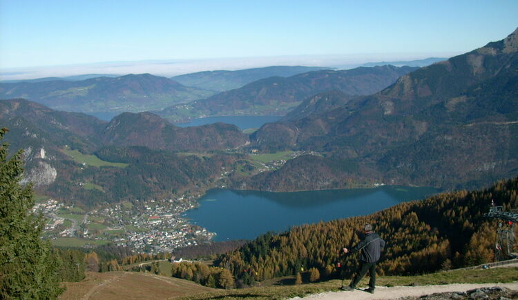
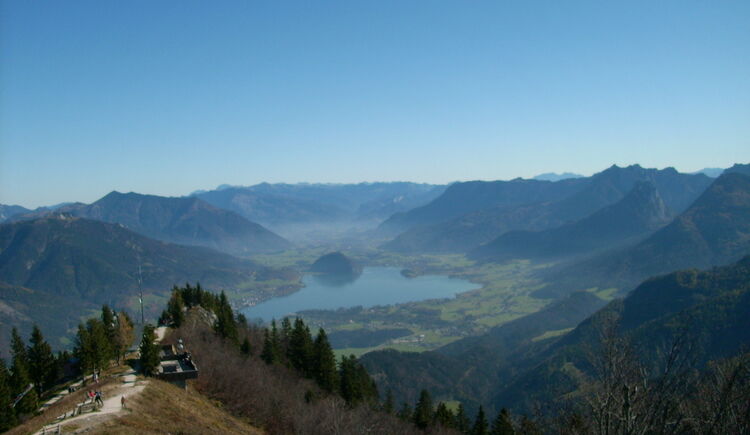
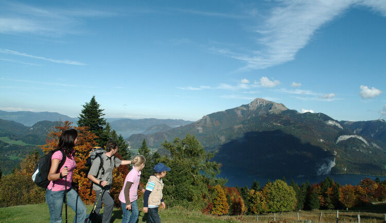

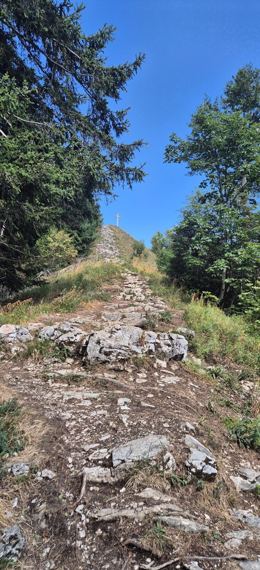
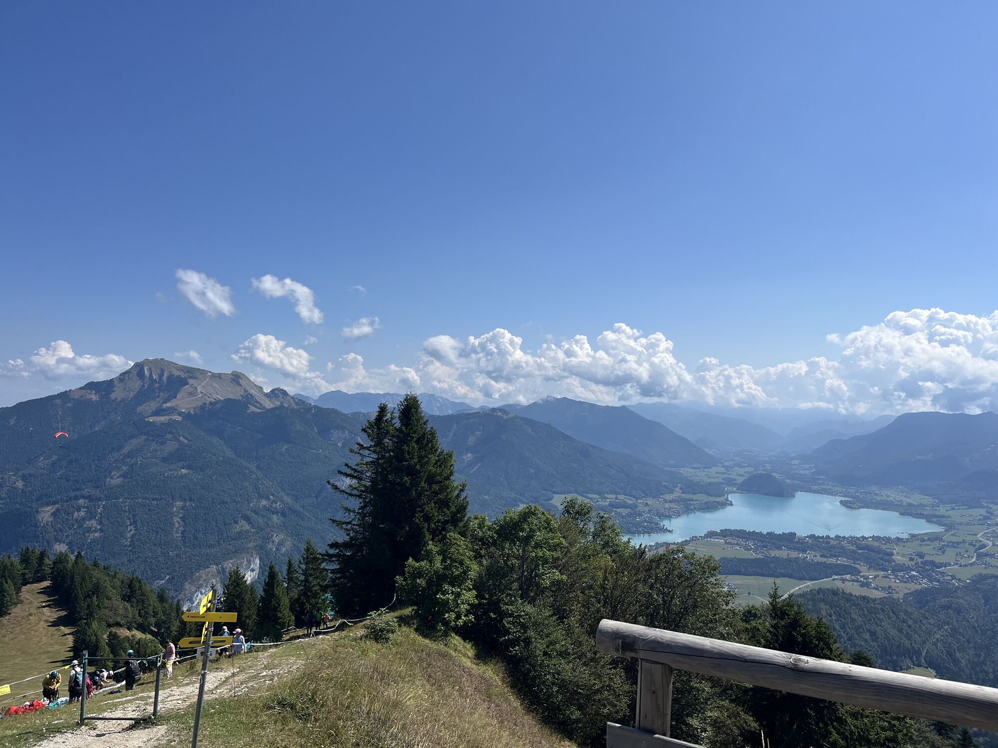
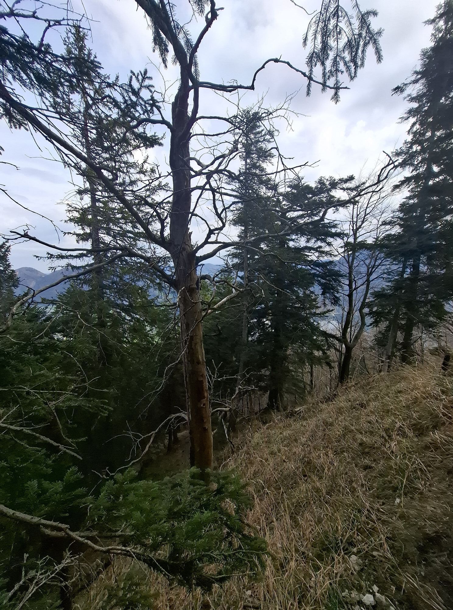
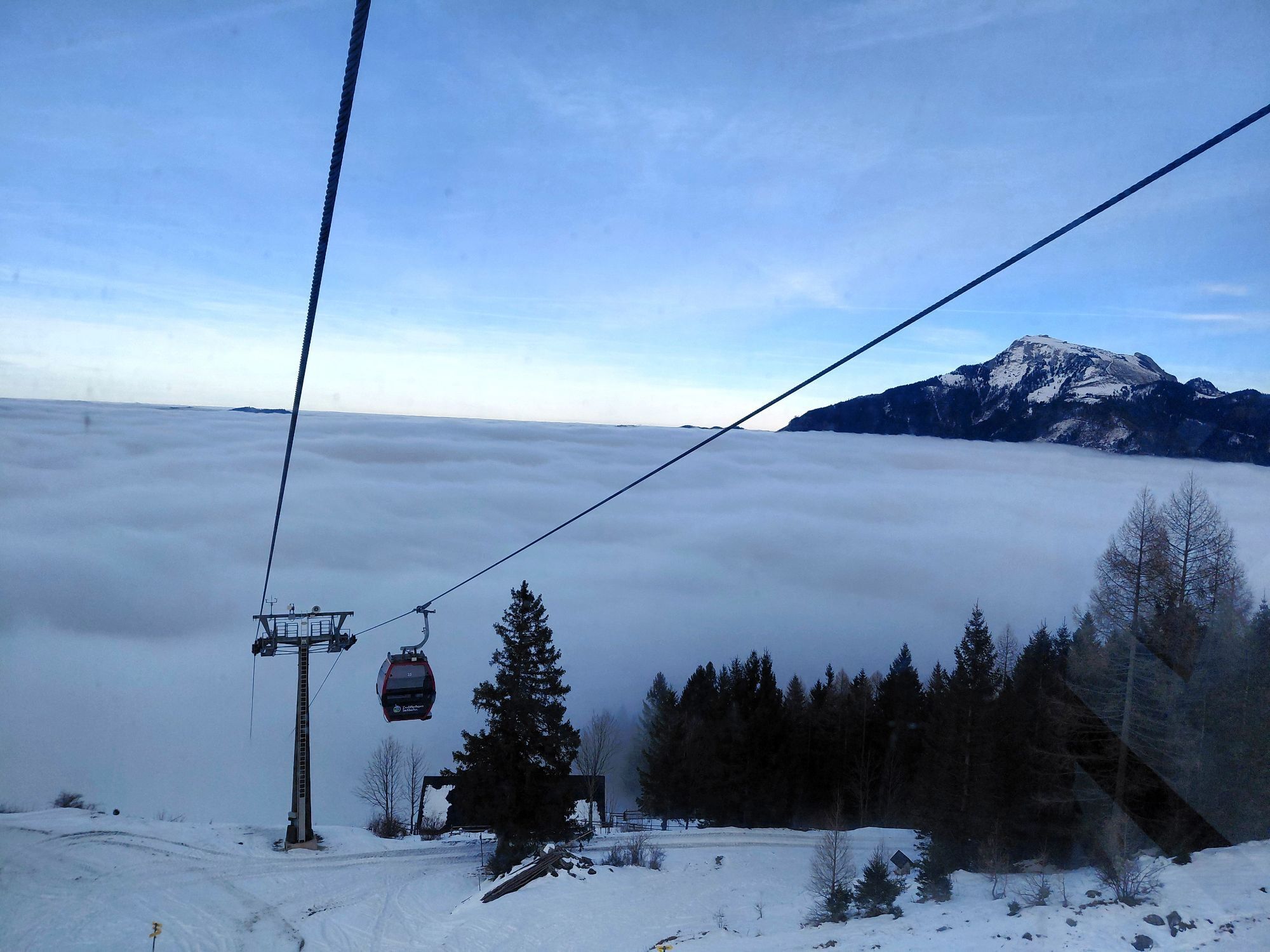
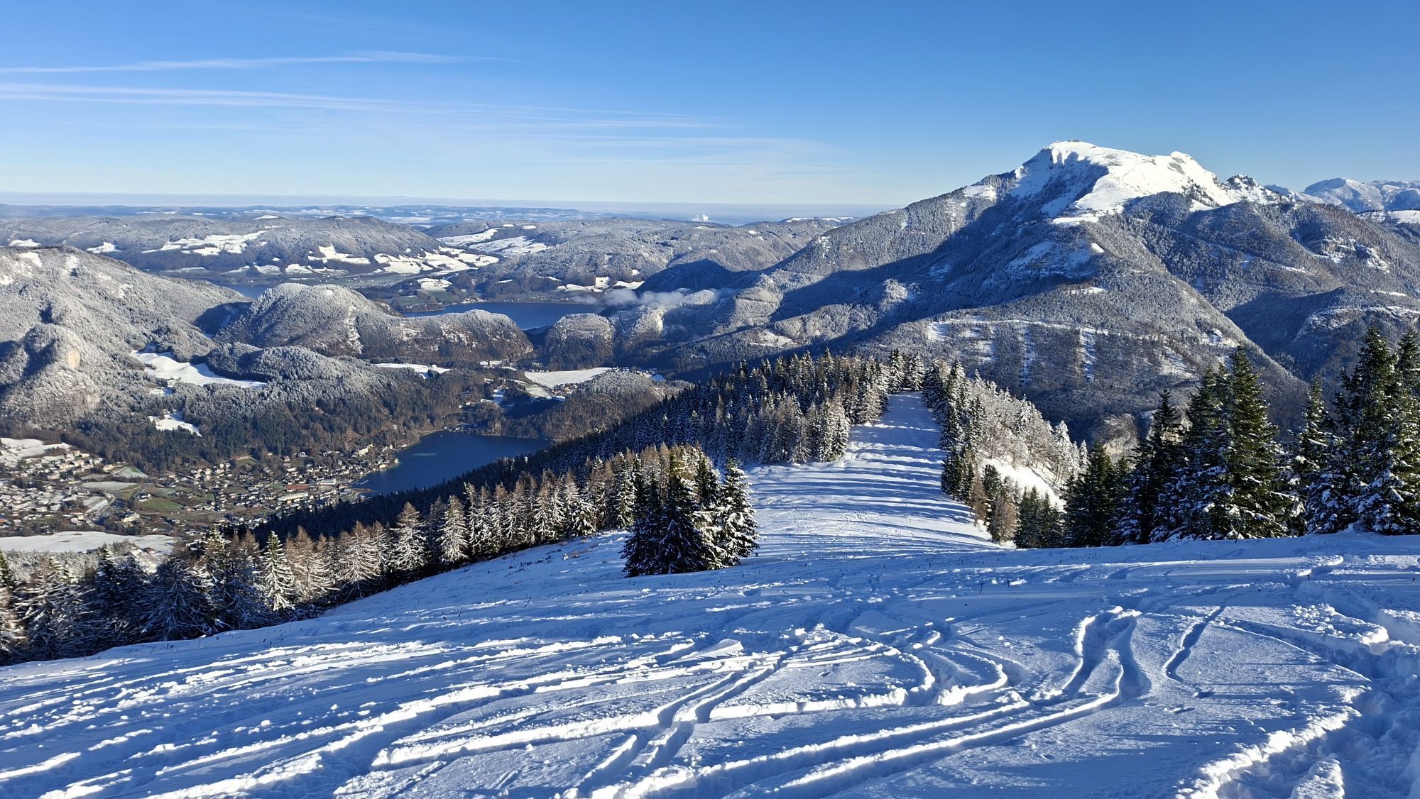
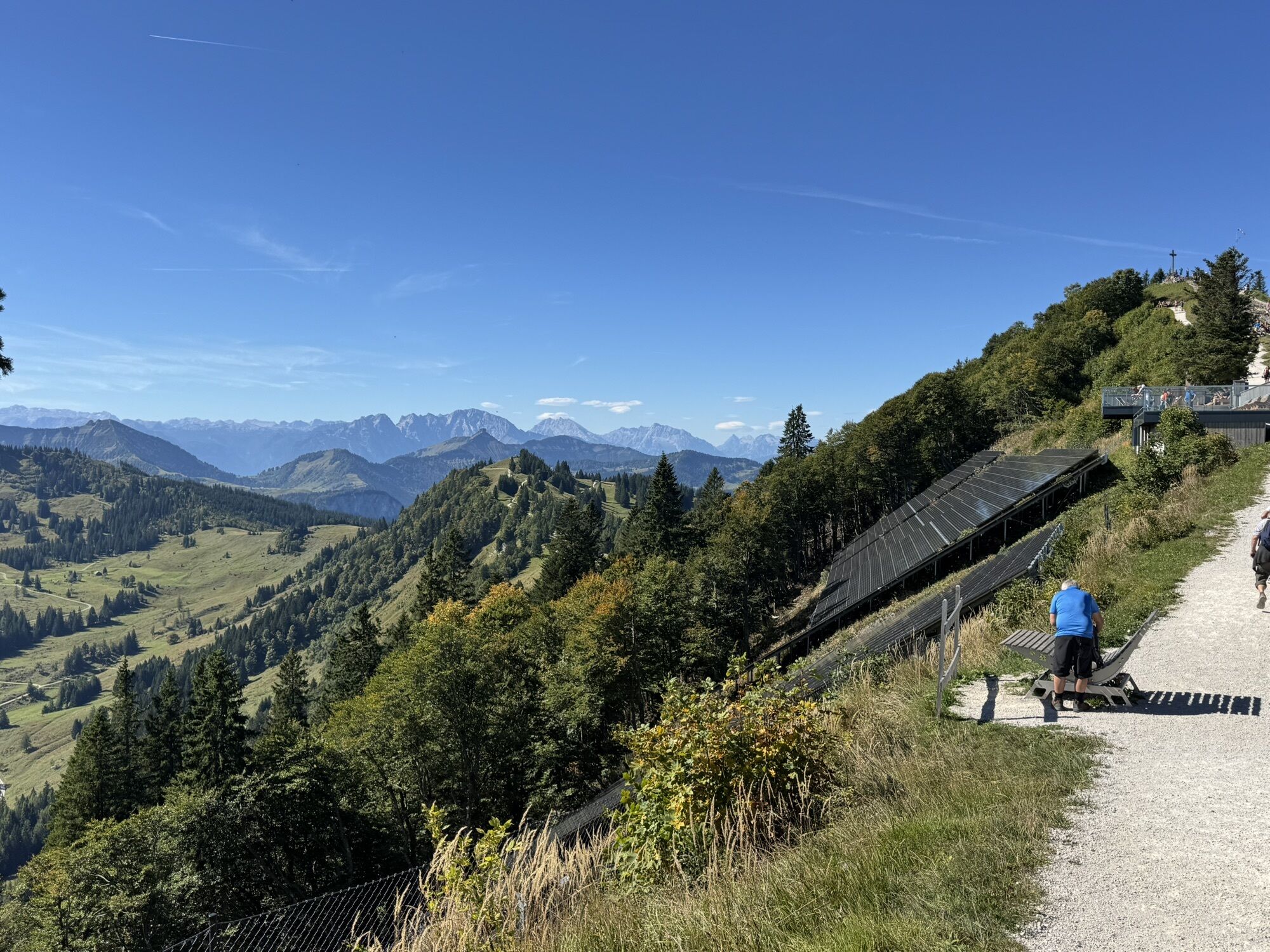
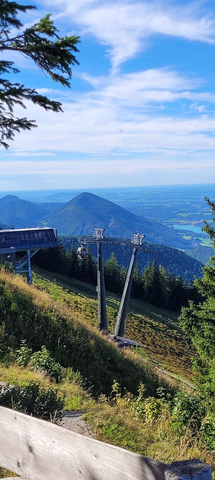
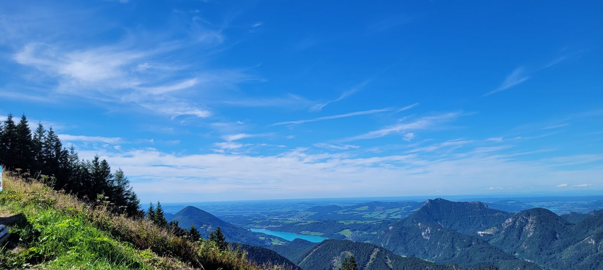
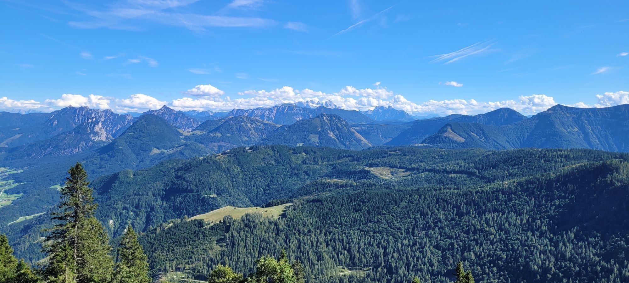
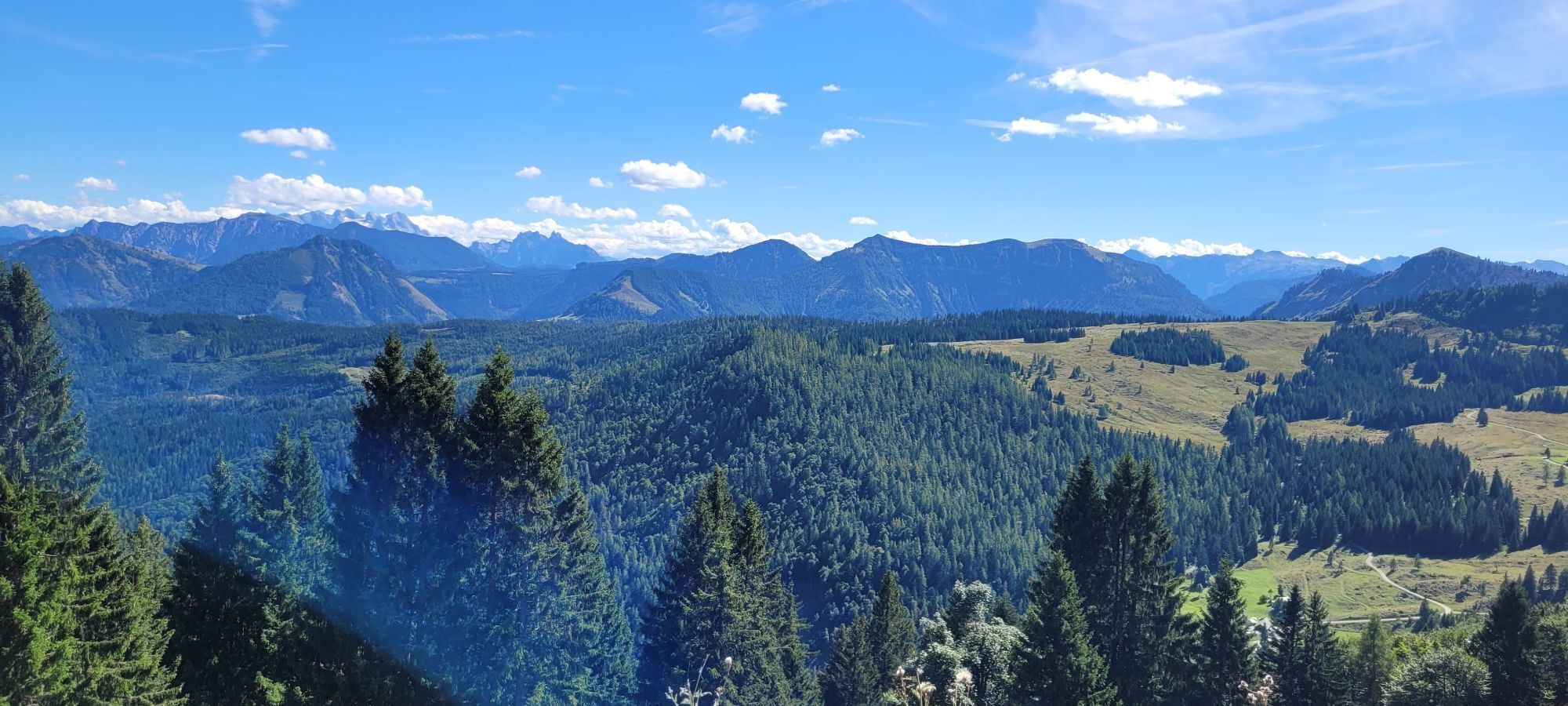
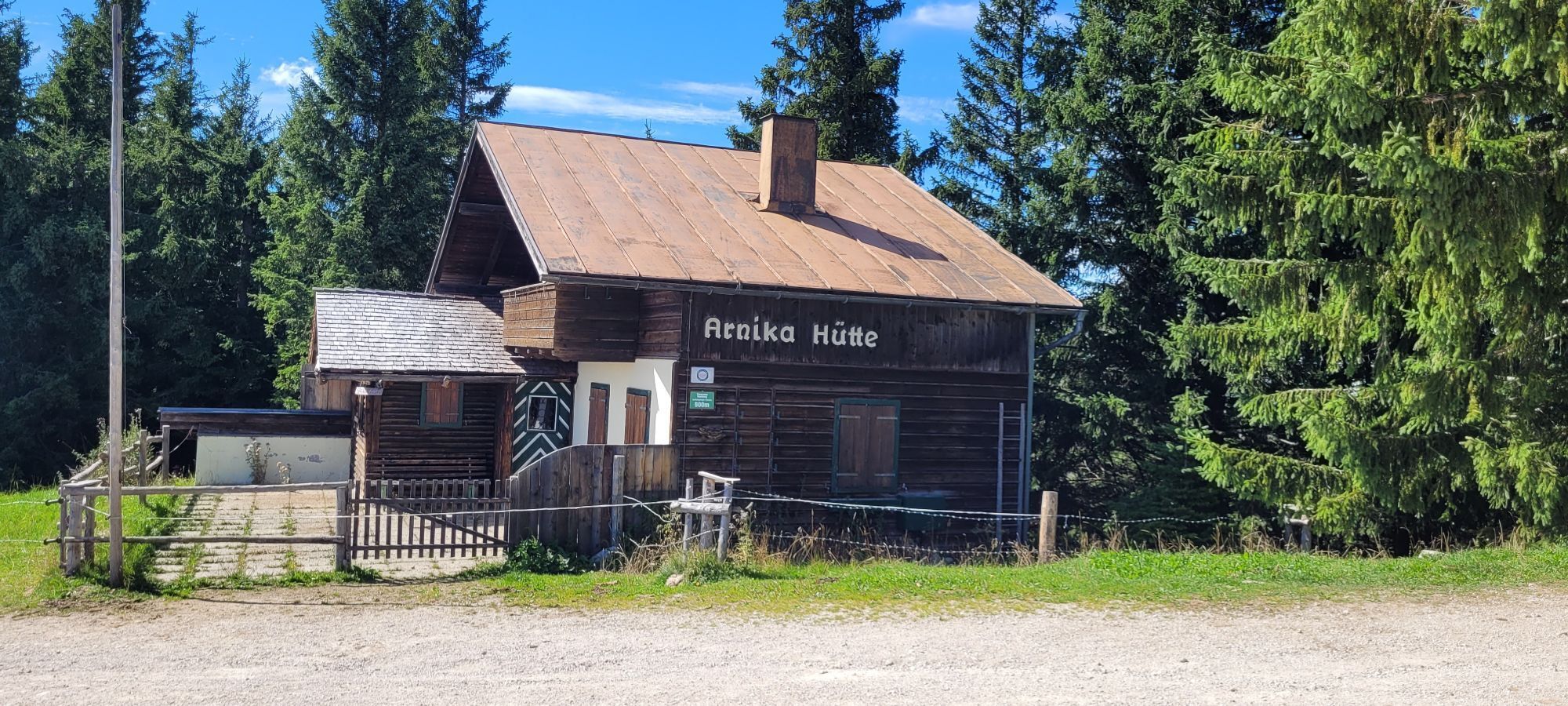
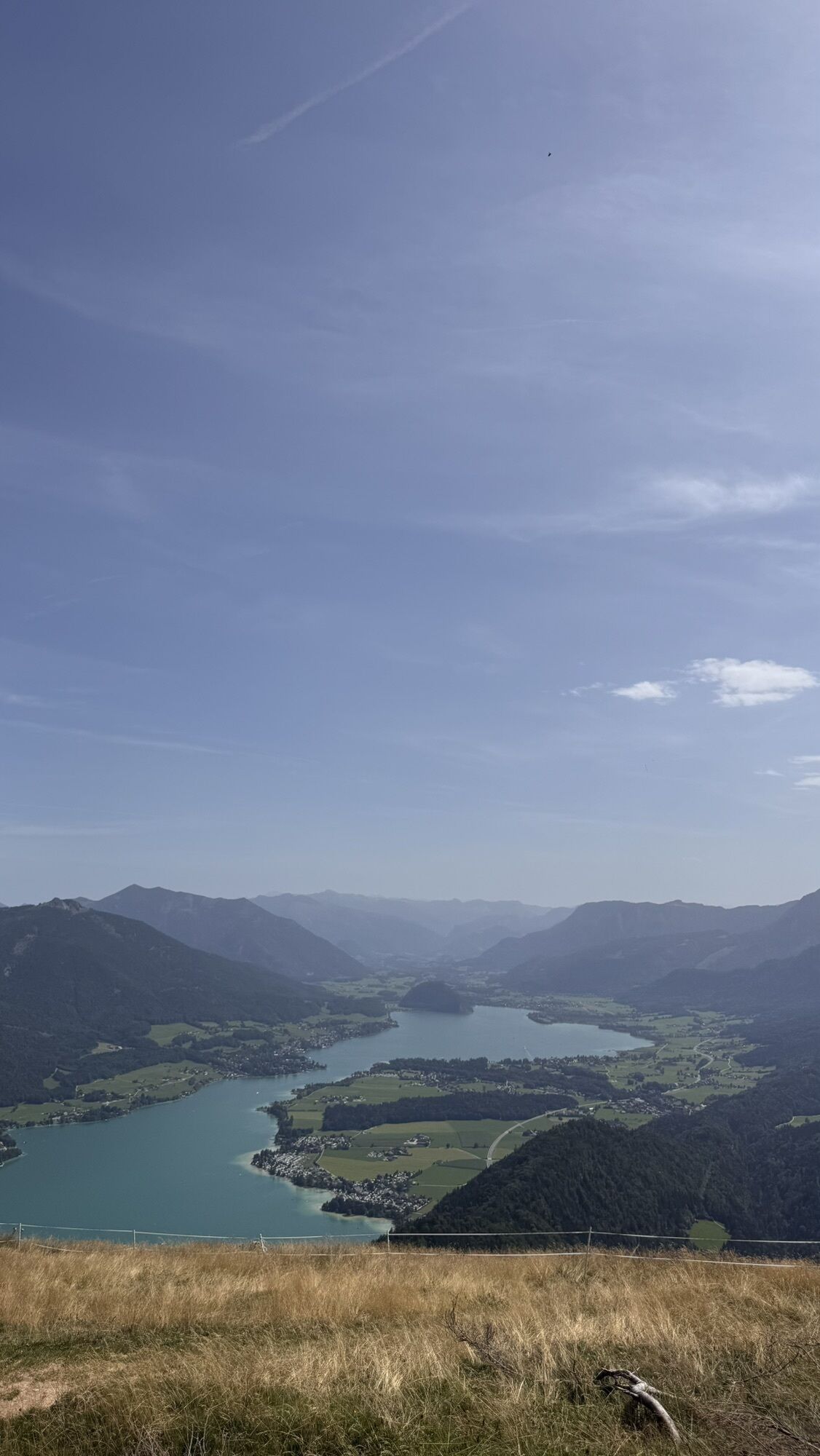
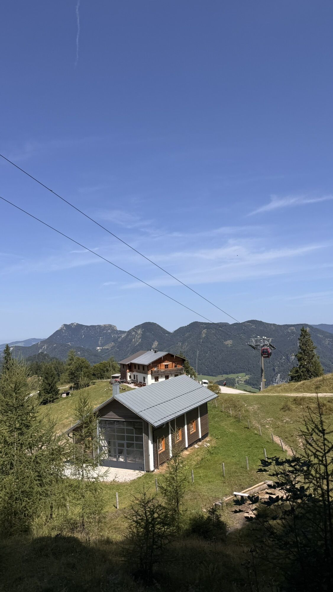
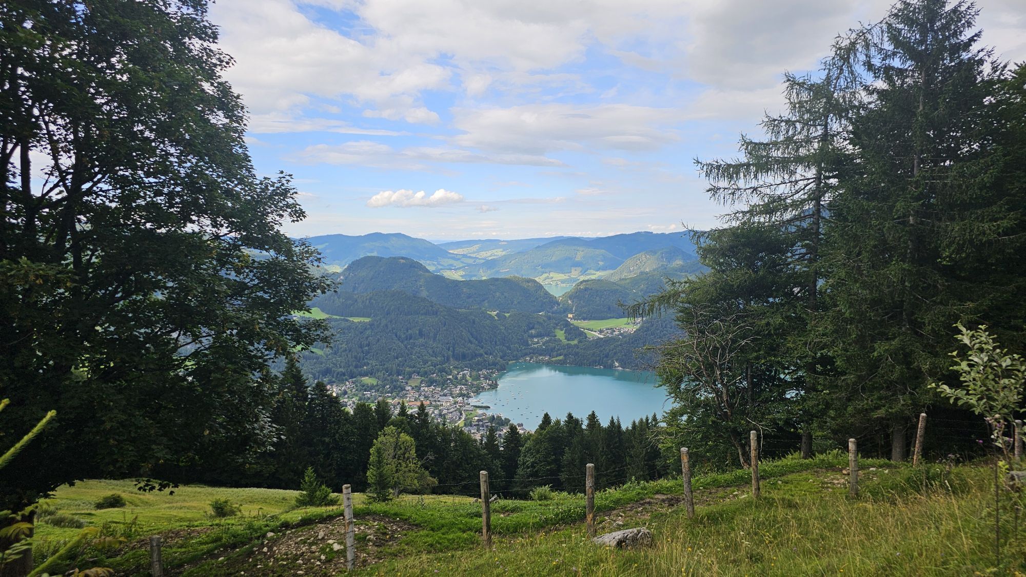
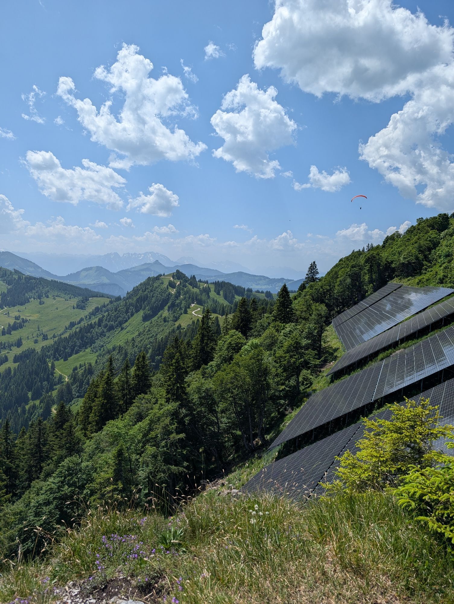
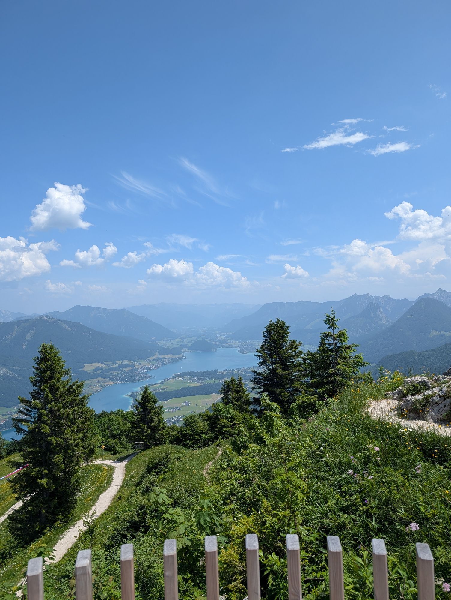
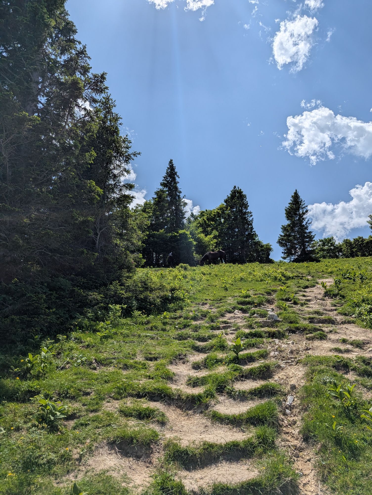
From the parking lot, we walk past the barrier of the toll road and follow the forest road which leads us to a parking lot just before the Sausteigalm. Here we continue on the forest road (No. 30 / 855) towards Strubneralm until a junction to the Lichteneggersteig. The well-marked trail first leads over an alpine meadow and after about 200 meters into the forest. At the end of the path, we reach the Pillstein circular hiking trail at the Arnikahütte. The Zwölferhorn is now on the left directly in front of us. We can take the summit ascent directly over the summit ridge, or after the Arnikahütte turn left and continue hiking to Voitl's Hütte. Here we can decide whether to dare the approximately 40 meters of elevation to the summit or watch the paragliders starting from here. For the descent, we take the path below the upper station of the Zwölferhorn cable car towards Elferstein. After about 500m, we turn left at a junction. The right path leads via a trail over the Elferstein to the Sausteigalm (challenging). Across the alpine pastures, we reach the three managed huts: Sausteigalm, Lärchen Hütte and Bartlhütte. From here, we follow the forest road back to our starting point.
Áno
Sturdy footwear and possibly hiking poles, otherwise no special equipment required.
Path condition
The path leads almost exclusively on forest roads and well-maintained trails.
Information from the Faistenau Riding and Horse Breeding Association
A great concern of the Faistenau Riding Association is harmonious interaction between riders and hikers. Especially important for this is mutual considerate behavior. Therefore, please adhere to the leash obligation, keep a safe distance from the horses, and avoid loud noises as well as sudden/quick movements.
Leash requirement for dogs
Throughout the municipality of Faistenau, the dog leash and dog waste disposal ordinance has been in effect since 2009. This also applies on all hiking trails.
Arrival via the A1 West Motorway – Thalgau exit
Follow the federal road (B 158) in Hof near Salzburg to the Baderluck roundabout. At the first exit, turn into Hinterseestraße and after a few kilometers you will reach your holiday destination Faistenau. At the first large intersection, turn left towards Tiefbrunnau and drive to the end of the valley.
The starting point of this hike is not directly accessible by public transport!
By bus
From Salzburg main station, there are excellent Postbus connections to the Fuschlseeregion and Faistenau. All bus connections can be found online at www.svv-info.at.
By train
Information about train connections can be found at www.oebb.at or www.bahn.de
By plane
Salzburg Airport W.A. Mozart is located very close to the city of Salzburg. Bus lines 2 or 27 take you to the main station where you can change to the Postbus.
Paid parking lot at Kühleiten near Holzknechthütte
 Získajte prehľad
Vždy naživo na mieste s viac ako 9 500 webovými kamerami. bergfex Ako používateľ Pro si teraz môžete pozrieť príslušné webové kamery pre mnohé zájazdy v aplikácii zájazdy z. Môžete si tak priamo prezerať aktuálne podmienky.
Získajte prehľad
Vždy naživo na mieste s viac ako 9 500 webovými kamerami. bergfex Ako používateľ Pro si teraz môžete pozrieť príslušné webové kamery pre mnohé zájazdy v aplikácii zájazdy z. Môžete si tak priamo prezerať aktuálne podmienky.


Obľúbené výlety v okolí
-
4,0
Bärenweg am Lidaun
svetloTuristika 9,05 km -
4,8
Fuschl: Ruine Wartenfels - Schober - Frauenkopf
strednáTuristika 7,62 km -
4,4
Fuschlseewanderung
svetloTuristika 11 km -
4,2
Pillstein Panorama Rundweg
svetloTuristika 3,40 km -
4,7
Pleasure hike over the Falkenstein
strednáTuristika 9,81 km -
3,7
Mondsee: Rund um den Mondsee
svetloCyklistika 26,3 km -
3,6
Unterach am Attersee: Hochplettspitz
Turistika 4,25 km -
4,6
The Plombergstein: Adventure and summit panorama
svetloTuristika 4,12 km -
4,8
Abtenau: Postalm circular route 2 - Labenberg & Pitscherberg alms - (IVV circular hiking trail)
svetloTuristika 10,1 km -
4,1
Illinger Alm-Runde
strednáTuristika 9,89 km
Turistika a stopovanie


Nenechajte si ujsť ponuky a inšpiráciu na ďalšiu dovolenku
Vaša e-mailová adresa bol pridaný do poštového zoznamu.





