


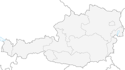


Spumberg circular hiking trail, hiking trail no. 54

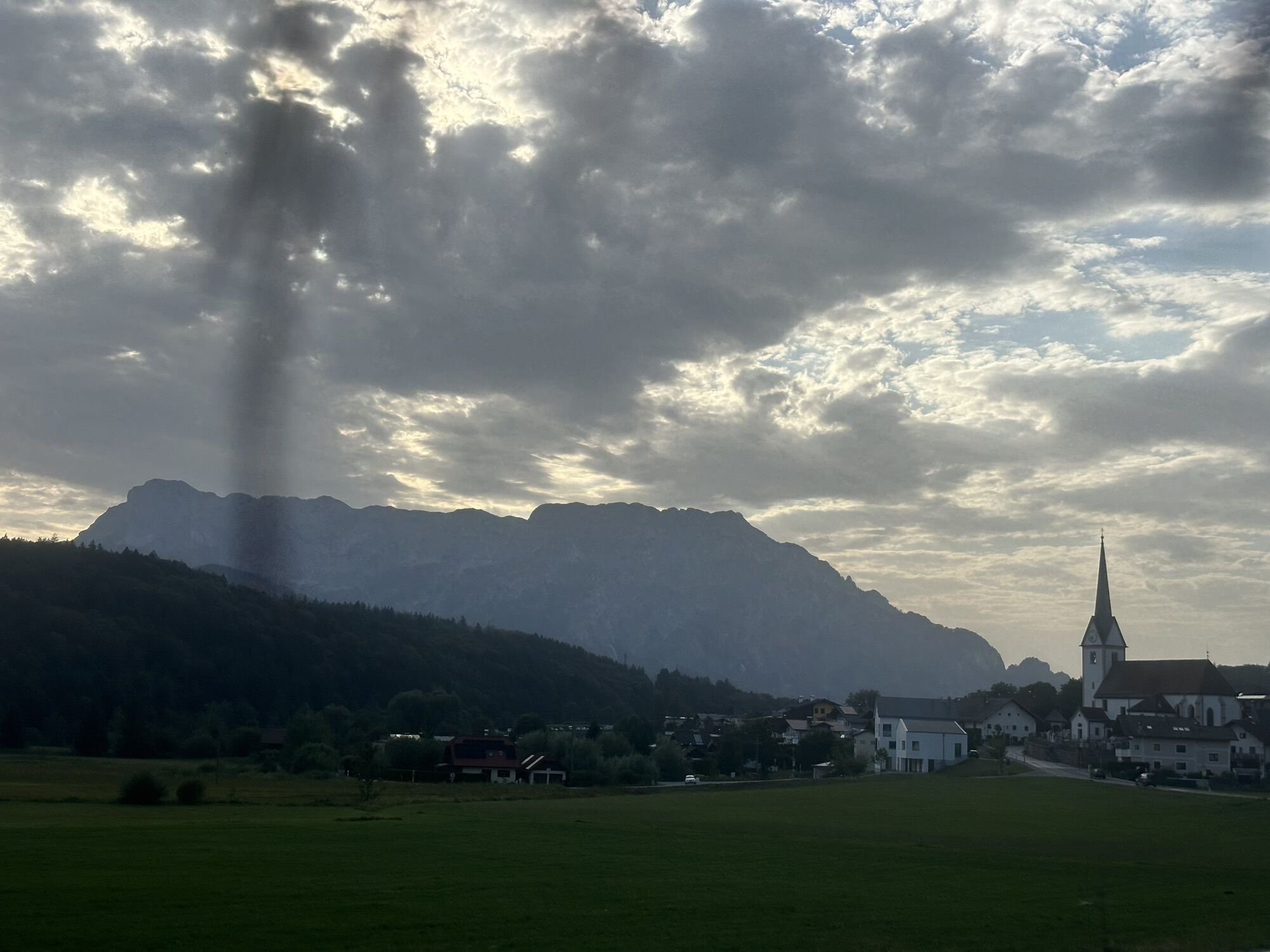
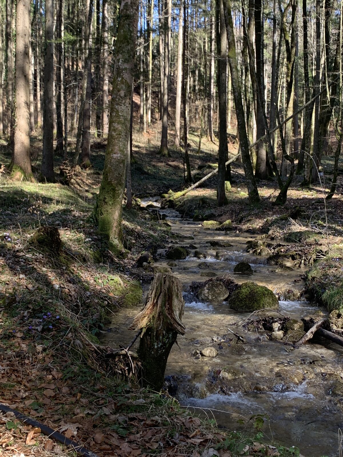
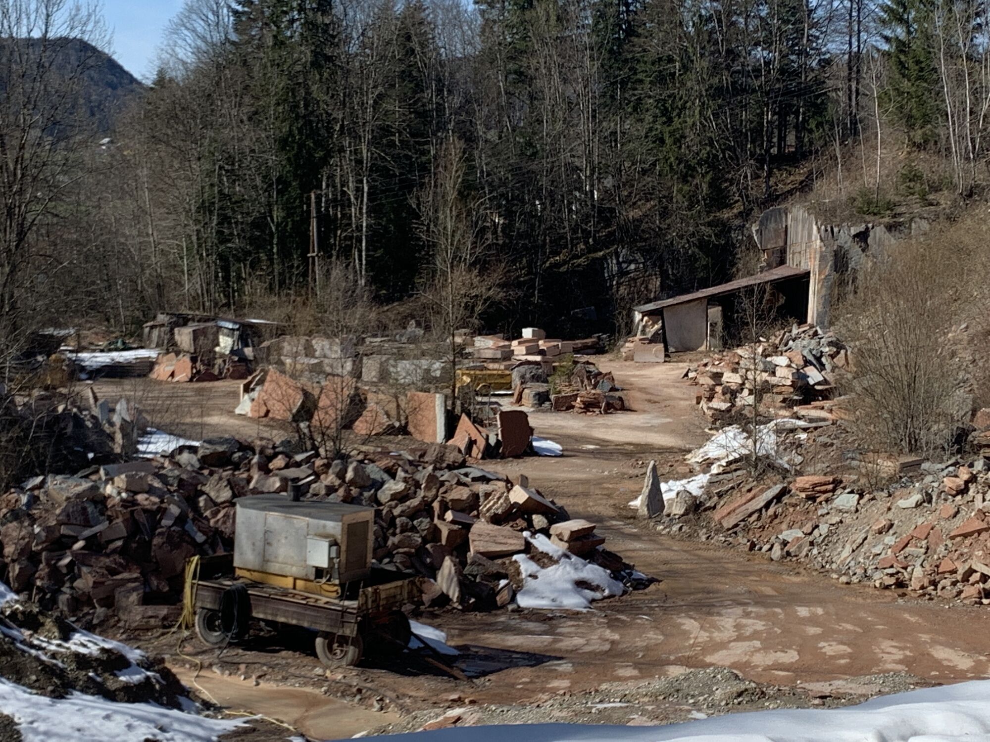
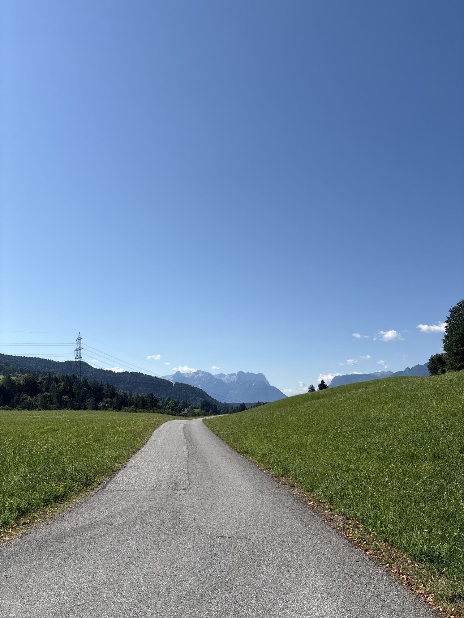
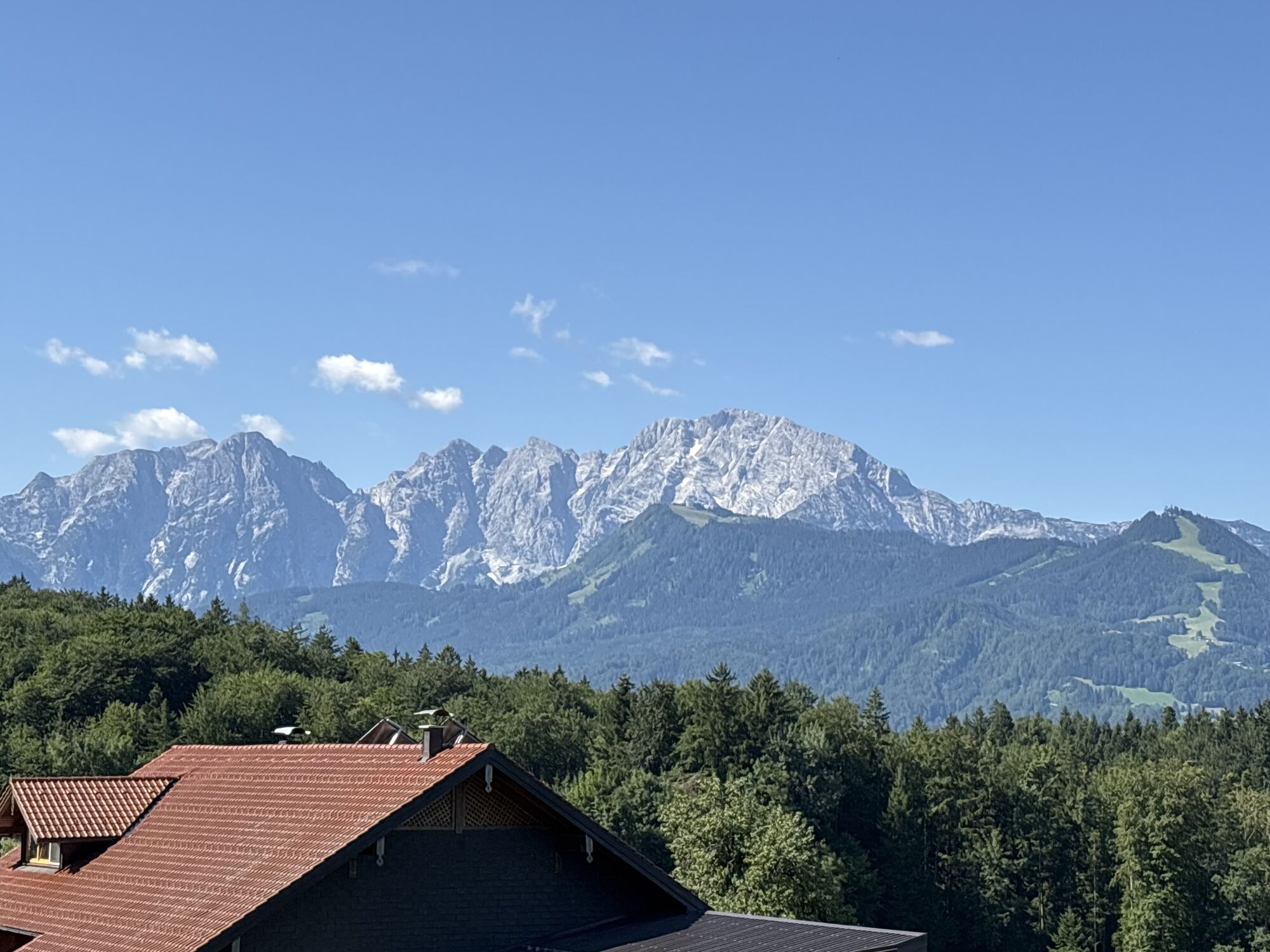
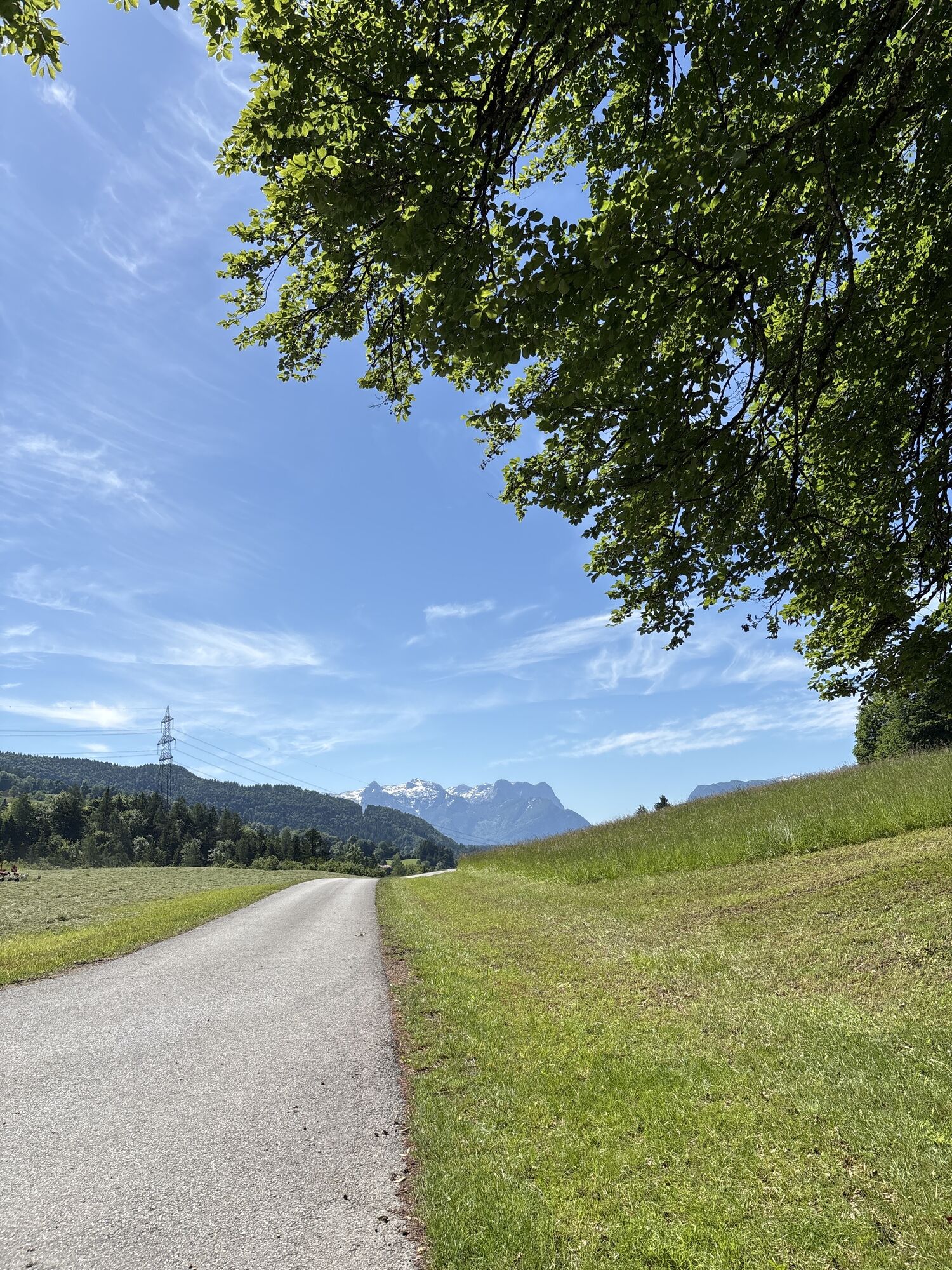
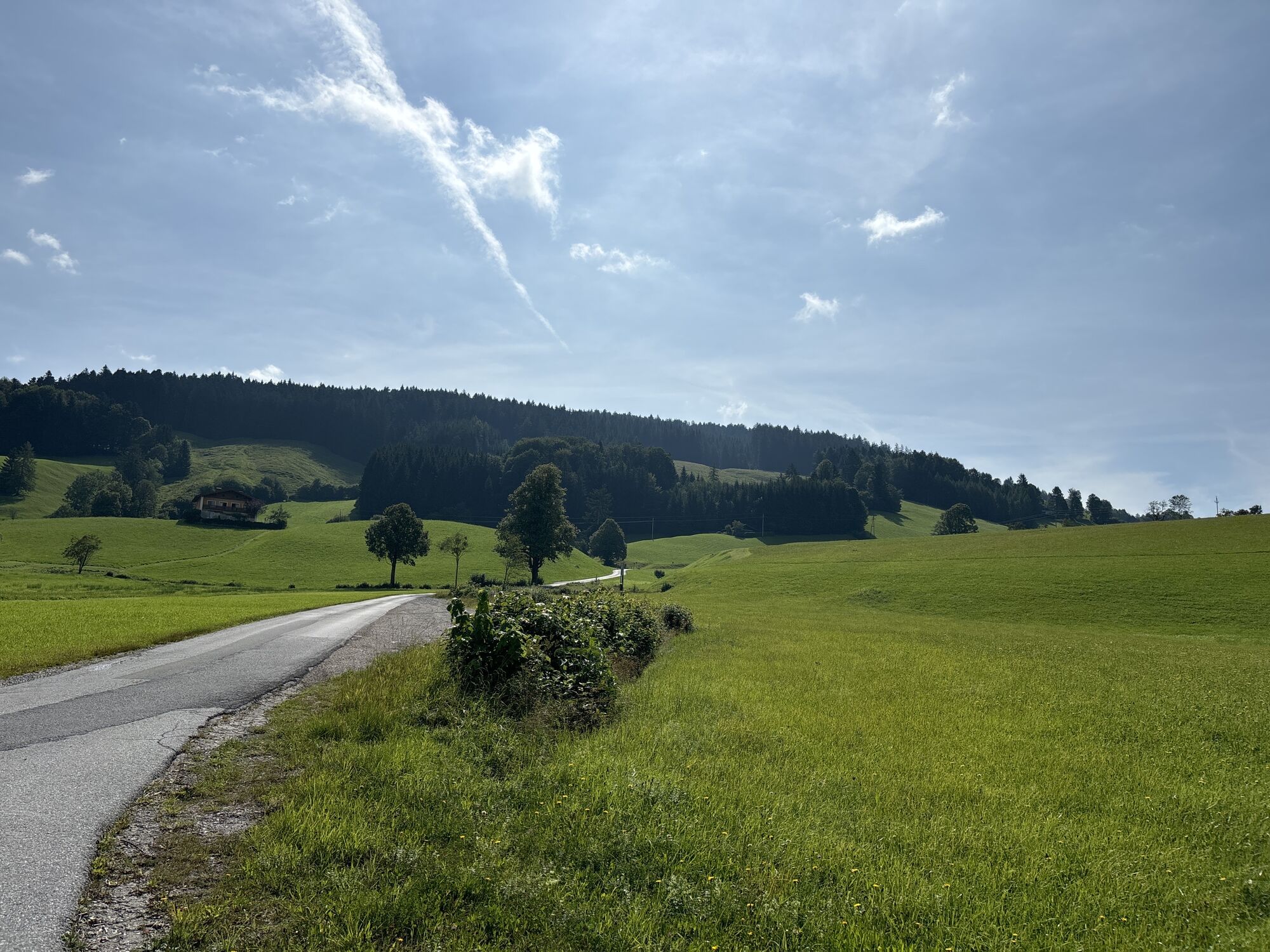
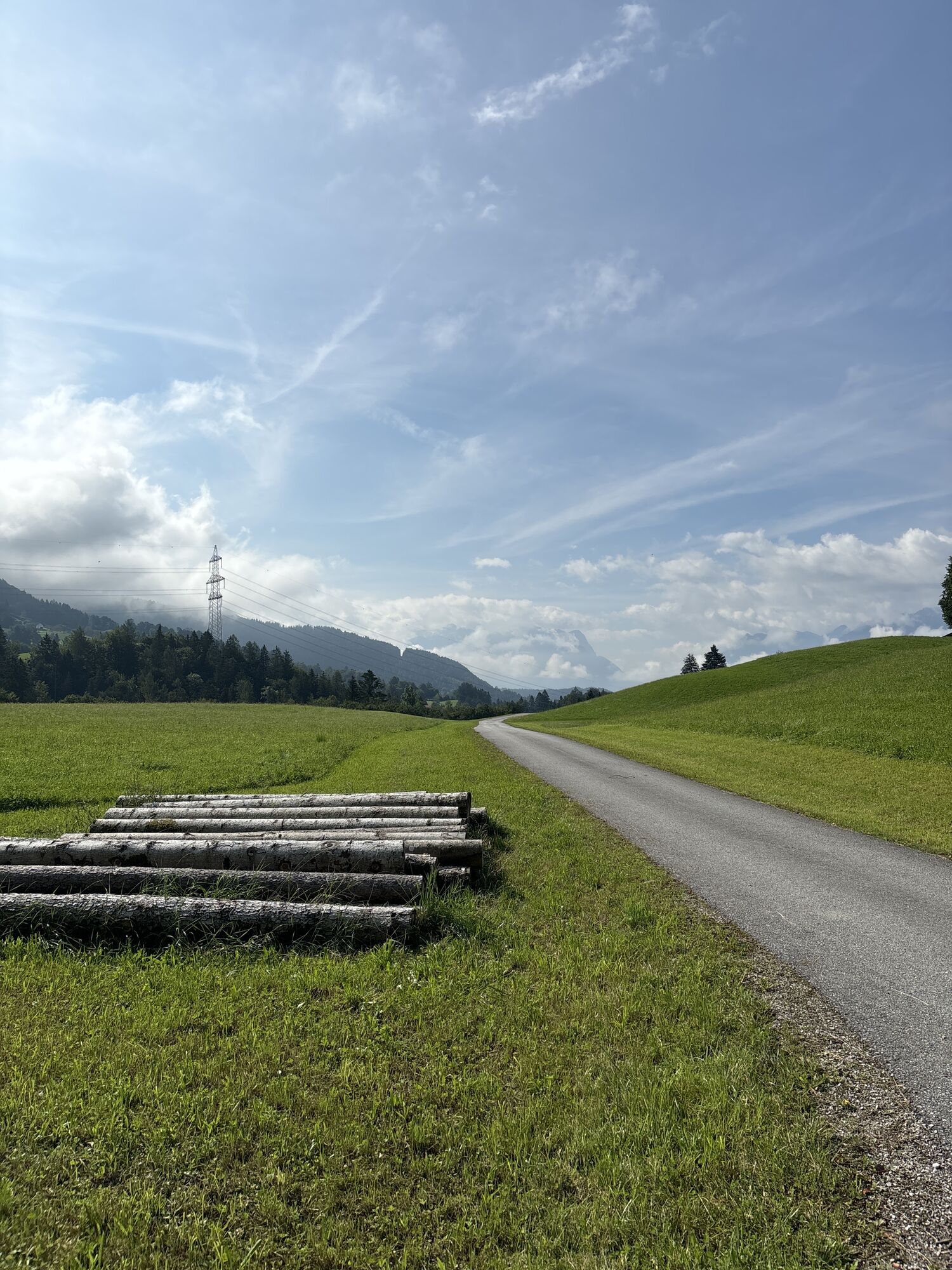
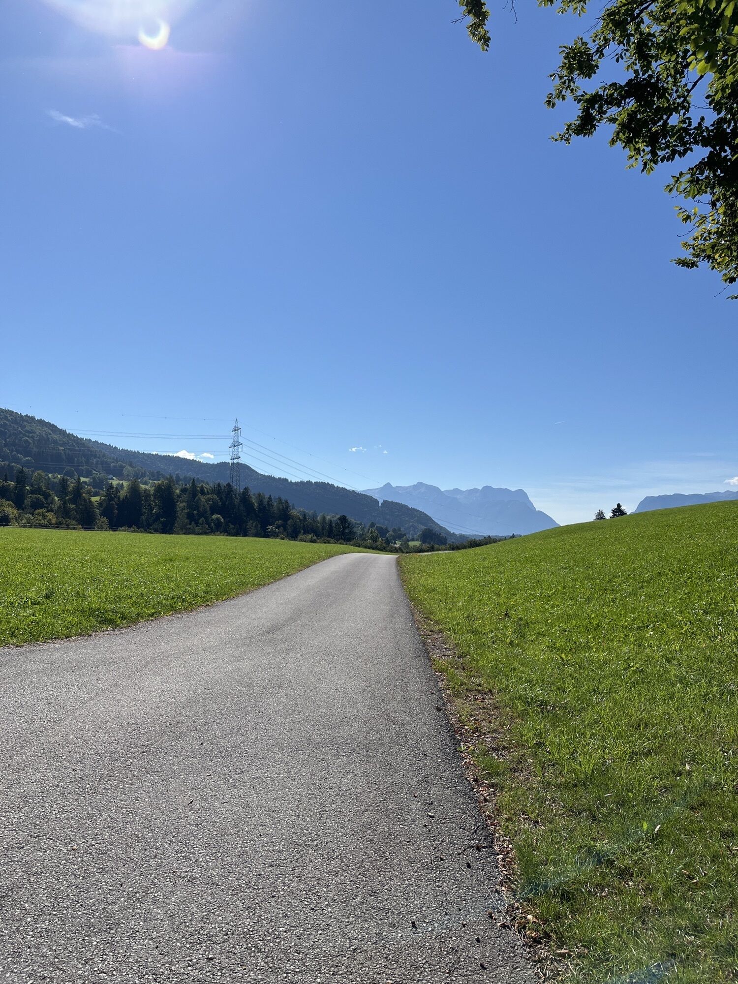
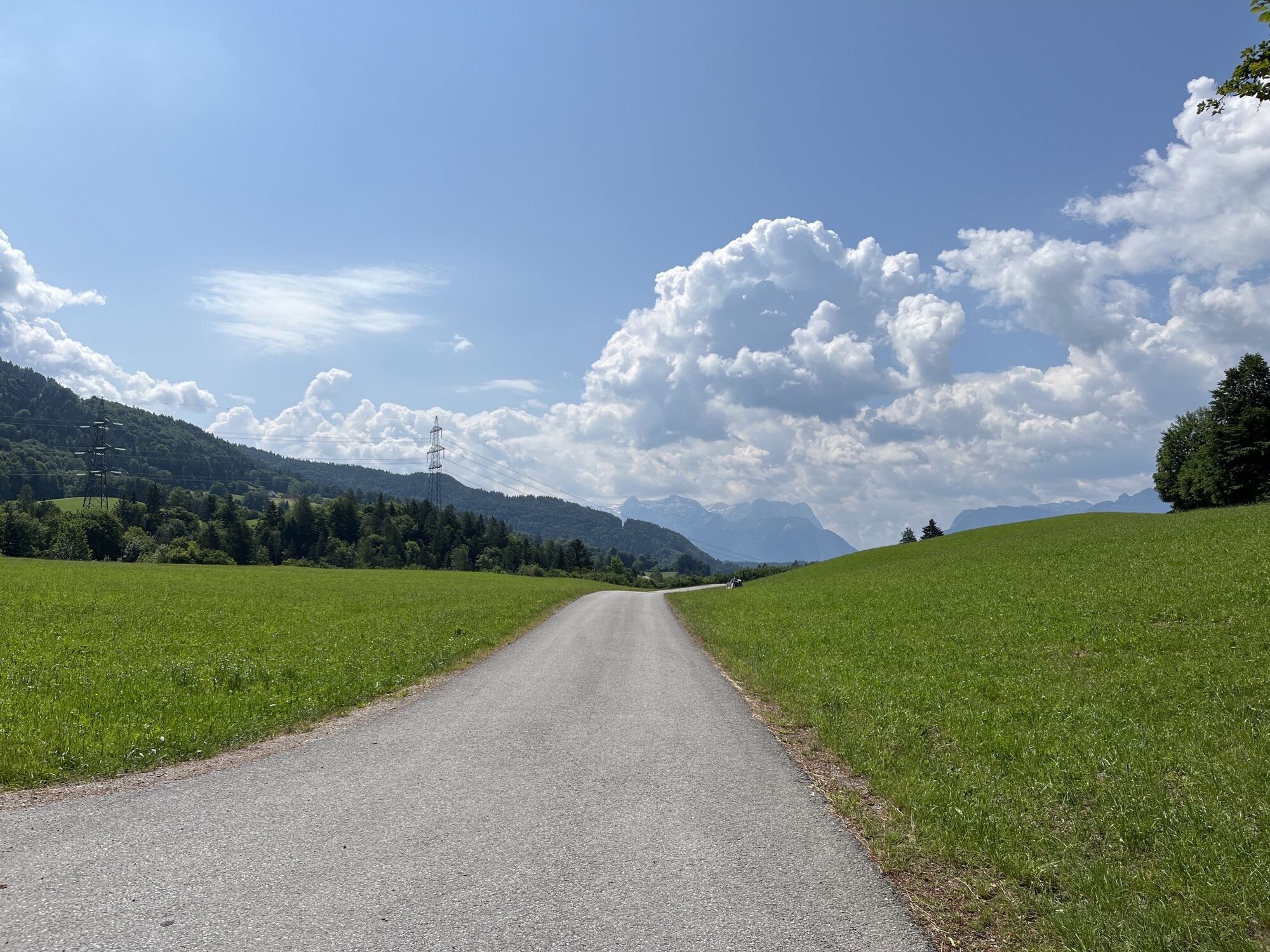

From the starting point at the parking lot below the parish church, turn left through the center of Adnet to the schools. Follow the footpath next to the main road to the crosswalk. A slightly ascending...
From the starting point at the parking lot below the parish church, turn left through the center of Adnet to the schools. Follow the footpath next to the main road to the crosswalk. A slightly ascending path begins on the left, past the Steindorf settlement to Höllwengleiten. The path now leads through the forest to the Unterschneit farm and on to the Tillreit junction. Continue up the Teillreit road to the Bromeggbauer junction, along the road to Eisenhut. At Eisenhut, turn left along the field path up to the Gemersreitbauern crossing, from there downhill to Spumbergstraße. Along the Gangsteig trail back to the starting point.

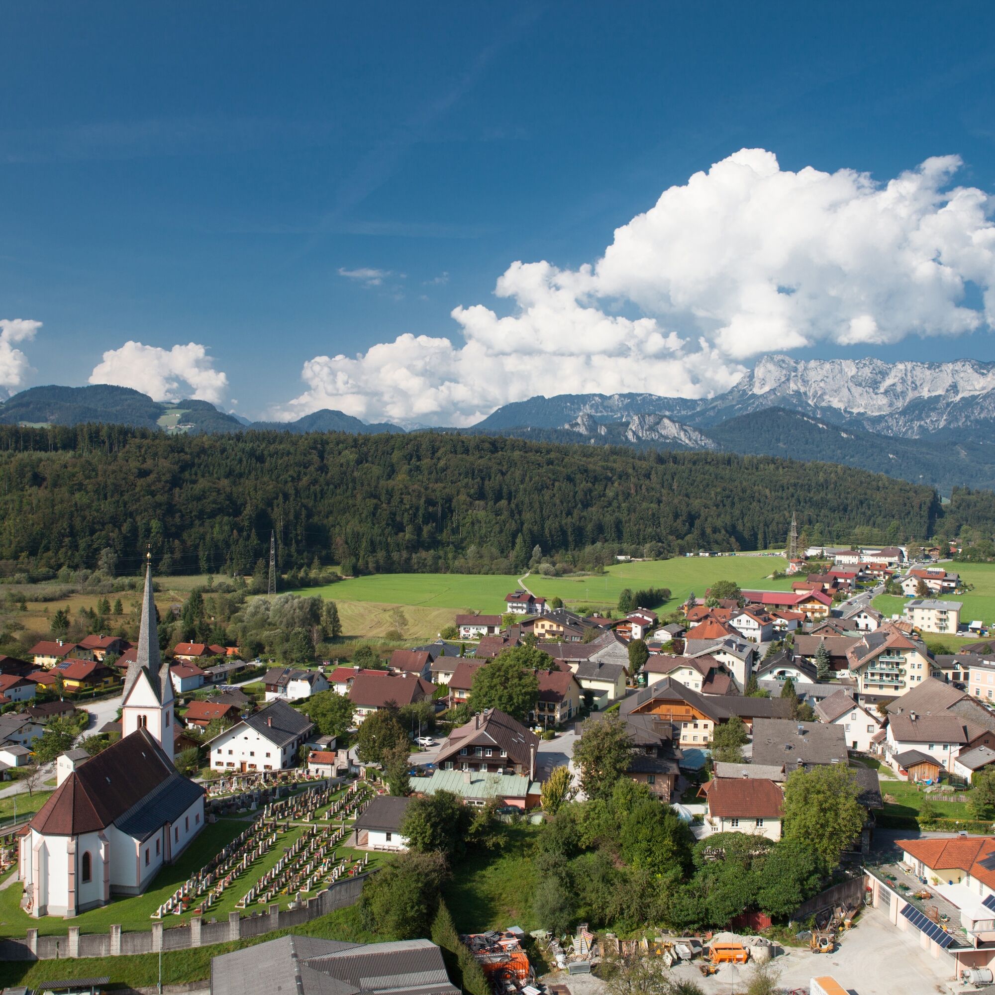

From the starting point at the parking lot below the parish church, turn left through the center of Adnet to the schools. Follow the footpath next to the main road to the crosswalk. A slightly ascending path begins on the left, past the Steindorf settlement to Höllwengleiten. The path now leads through the forest to the Unterschneit farm and on to the Tillreit junction. Continue up the Teillreit road to the Bromeggbauer junction, along the road to Eisenhut. At Eisenhut, turn left along the field path up to the Gemersreitbauern crossing, from there downhill to Spumbergstraße. Along the Gangsteig trail back to the starting point.
Coming from Hallein on the Wiestal Landesstraße L107 to the Adnet junction. Turn right towards Adnet and follow the road to the village center/parish church. The parking lot is on the right below the road.
From Hallein train station, take the Postbus no. 450 to the Adnet Ortsmitte stop. From here follow the road to the left in the direction of the schools.
Free parking lot
Webové kamery z prehliadky

Obľúbené výlety v okolí
-
4,7
Schwarzer Berg / Golling
strednáTuristika 2,54 km -
4,4
Fuschlseewanderung
svetloTuristika 11 km -
4,3
Pillstein Panorama Rundweg
svetloTuristika 3,40 km -
4,6
Kneifelspitze
Turistika 2,53 km -
4,2
Durch die Almbachklamm nach Ettenberg
Turistika 7,54 km -
3,9
Bärenweg am Lidaun
svetloTuristika 9,05 km -
4,3
Untersberg, Toni-Lenz-Hütte
Turistika 4,86 km -
4,2
Illinger Alm-Runde
strednáTuristika 9,89 km -
4,7
Great and Small Barmstein, the landmarks of Hallein
ťažkéTuristika 6,58 km -
4,9
Untersberg (Salzburger Hochthron)
strednáTuristika 11,8 km
Turistika a stopovanie


Nenechajte si ujsť ponuky a inšpiráciu na ďalšiu dovolenku
Vaša e-mailová adresa bol pridaný do poštového zoznamu.


