







Filzwiese
Úroveň náročnosti: T1
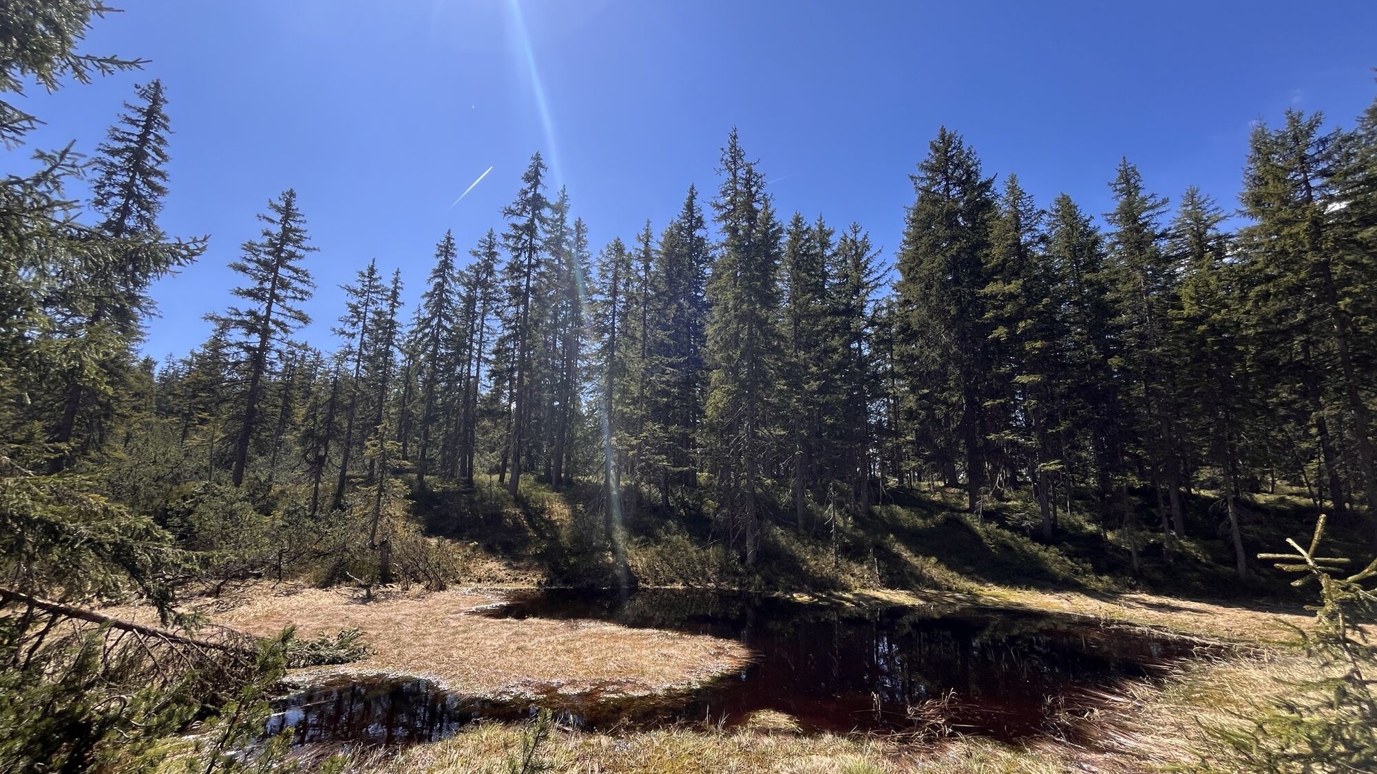
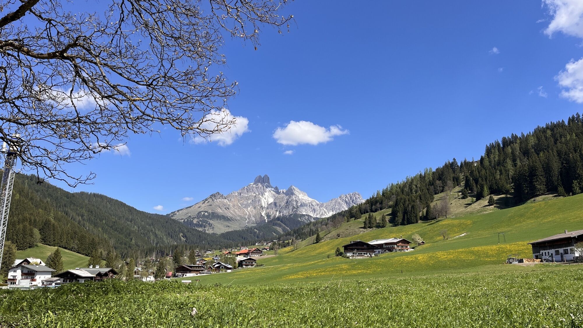
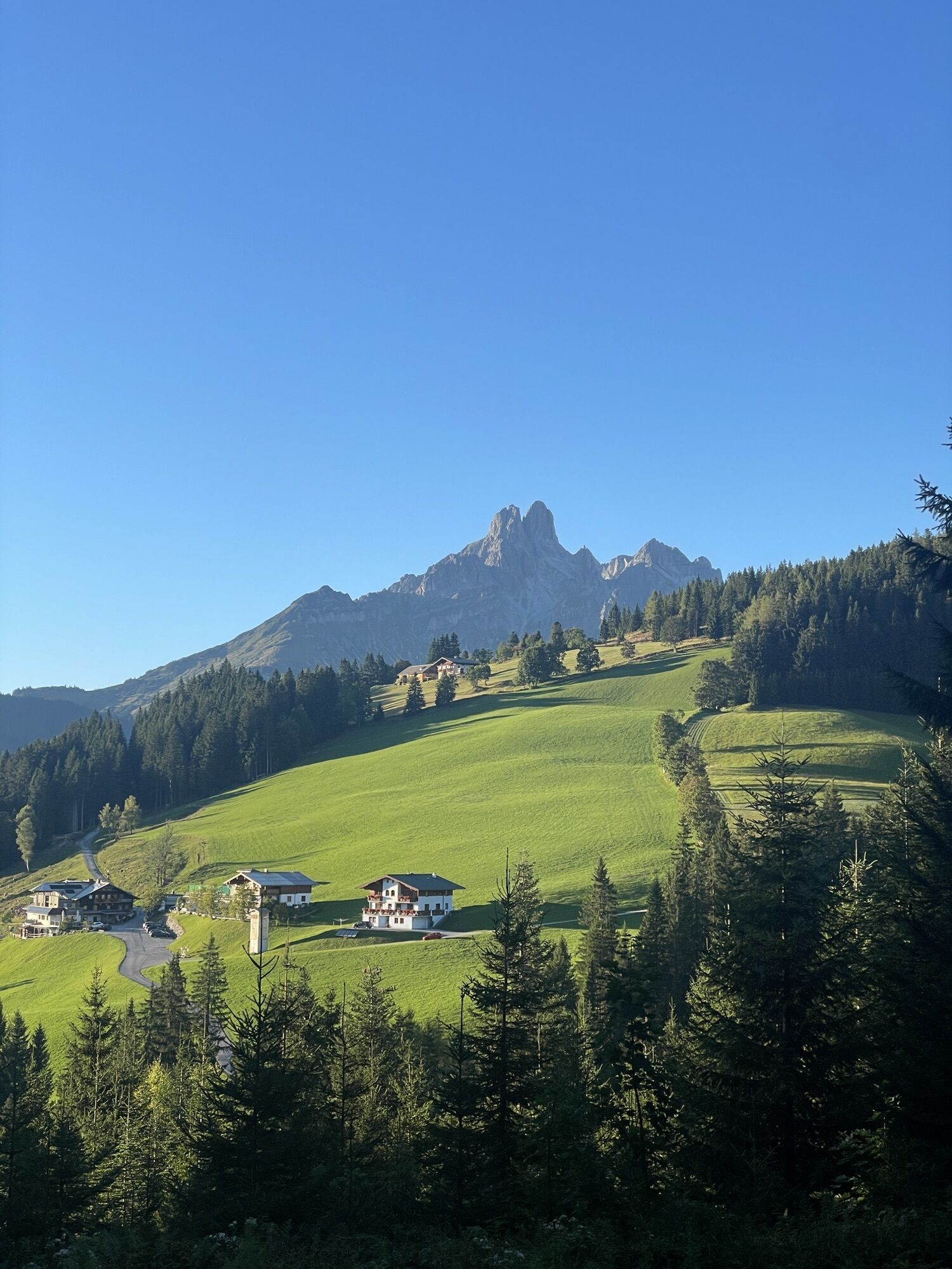
The Filzwiese is an idyllic hiking destination above Filzmoos, renowned for its tranquil setting, varied landscape and breathtaking views of the peaks of the Dachstein Massif. Surrounded by peaceful mountain...
The Filzwiese is an idyllic hiking destination above Filzmoos, renowned for its tranquil setting, varied landscape and breathtaking views of the peaks of the Dachstein Massif. Surrounded by peaceful mountain forest and open clearings, it is the perfect place to relax, unwind and enjoy nature. The trail to the Filzwiese leads through unspoilt woodland and offers numerous scenic viewpoints along the way. Particularly impressive are the views of the striking Bischofsmütze, as well as Rötelstein, Torstein, Mitterspitz and the dramatic south face of the Dachstein. Benches along the route invite you to pause and take in the spectacular alpine scenery at your leisure. The Filzwiese is an ideal destination for a leisurely hike and also serves as the starting point for a longer walk to the Bachlalm. Families, nature lovers and those seeking peace and quiet appreciate the varied route and its relaxed atmosphere, far from the crowds. Anyone looking for tranquillity, unspoilt nature and magnificent panoramic views will find the Filzwiese a truly special place to explore and enjoy.

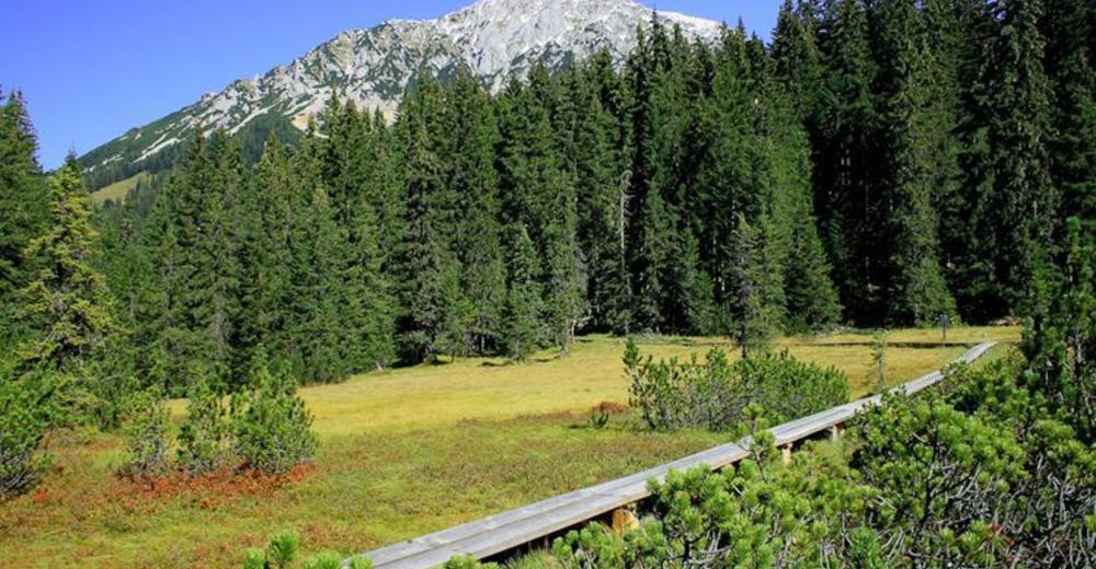

Tip: Take a short break at one of the clearings with a bench. From here, you can enjoy magnificent panoramic views of the Bischofsmütze, Rötelstein, Torstein, Mitterspitz, the Dachstein and its impressive south face.
Áno
In case of thunderstorms: Avoid summits, ridgelines, and fixed-rope sections at all costs.
A good backpack is helpful, and for routes in alpine terrain, a hat, gloves, a good jacket, and pants are essential basic equipment. Sturdy, waterproof footwear, sunglasses, sun protection, and plenty of fluids are also crucial. A flashlight, map material, knife, and a small first aid kit should always be part of your gear.
Available GPS data – like hiking maps – are only intended as orientation aids, as they can never fully represent the exact layout or detail of a trail in reality. Especially in potentially dangerous areas, it is essential to make decisions based on the actual conditions on site regarding whether and how to proceed.
In case of emergency, please call:
140 – for alpine emergencies – valid throughout Austria 112 – European emergency number / GSM emergency serviceComing from Ramsau am Dachstein:
At the roundabout, take the exit towards Neuberg – shortly after the gas station, turn left. There is a public paid parking lot opposite the gas station.By Bus or Taxi: From Eben im Pongau or Radstadt, take bus line 521 directly to Filzmoos (approx. 20–30 minutes). Taxis are also available at the station if you prefer a direct ride.Tip: Buses are not very frequent, so it's best to check the schedule in advance at www.oebb.at
With the Fidibus Summer: From Hotel Neubergerhof, the Fidibus Summer (hiking bus) takes you from Neuberg to Filzmoos, stopping at the “petrol station” (village center) bus stop. Click here for the timetable.
There is a public paid parking lot opposite the gas station.
T1
Take a break at one of the clearings with benches and enjoy breathtaking panoramic views of the Bischofsmütze and the striking peaks of the Dachstein Massif.
Získajte prehľad
Vždy naživo na mieste s viac ako 9 500 webovými kamerami. bergfex Ako používateľ Pro si teraz môžete pozrieť príslušné webové kamery pre mnohé zájazdy v aplikácii zájazdy z. Môžete si tak priamo prezerať aktuálne podmienky.
Obľúbené výlety v okolí
-
4,5
Ramsau am Dachstein: Steinerne Jungfrauen
Turistika 8,11 km -
4,3
Heilbronner Rundwanderweg
svetloTuristika 9,04 km -
4,3
Filzmoos: Rötelstein (Rettenstein)
Turistika 9,50 km -
4,8
Tour around the Gosaukamm
strednáTuristika 20,9 km -
4,8
Planai Runde | 304
strednáMountainbike 34,1 km -
4,8
4-Jahreszeiten Wanderweg
strednáZimná turistika 5,94 km -
4,7
Tor-Wanderung
ťažkéTuristika 14,2 km -
4,7
Tour around the Lake Gosau
svetloTuristika 4,43 km -
4,5
Adamekhütte vom Vorderen Gosausee
strednáTuristika 23,2 km -
4,7
Ramsau am Dachstein: Bergstation Dachstein-Seilbahn - Guttenberghaus - Ramsau
strednáTuristika 14,4 km
Turistika a stopovanie


Nenechajte si ujsť ponuky a inšpiráciu na ďalšiu dovolenku
Vaša e-mailová adresa bol pridaný do poštového zoznamu.





