






From Loderbichl to the Grubhörndl in the Almenwelt Lofer
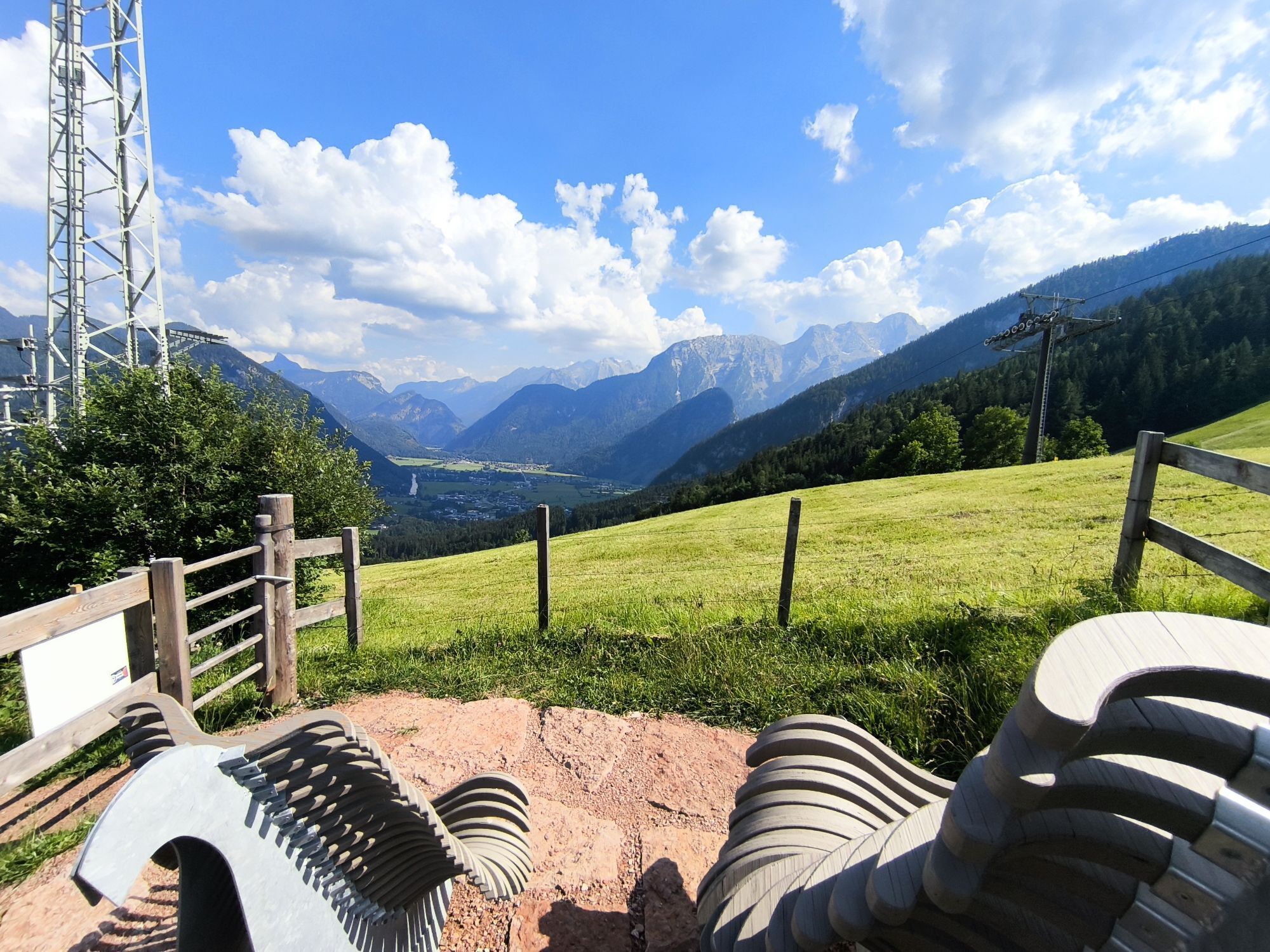
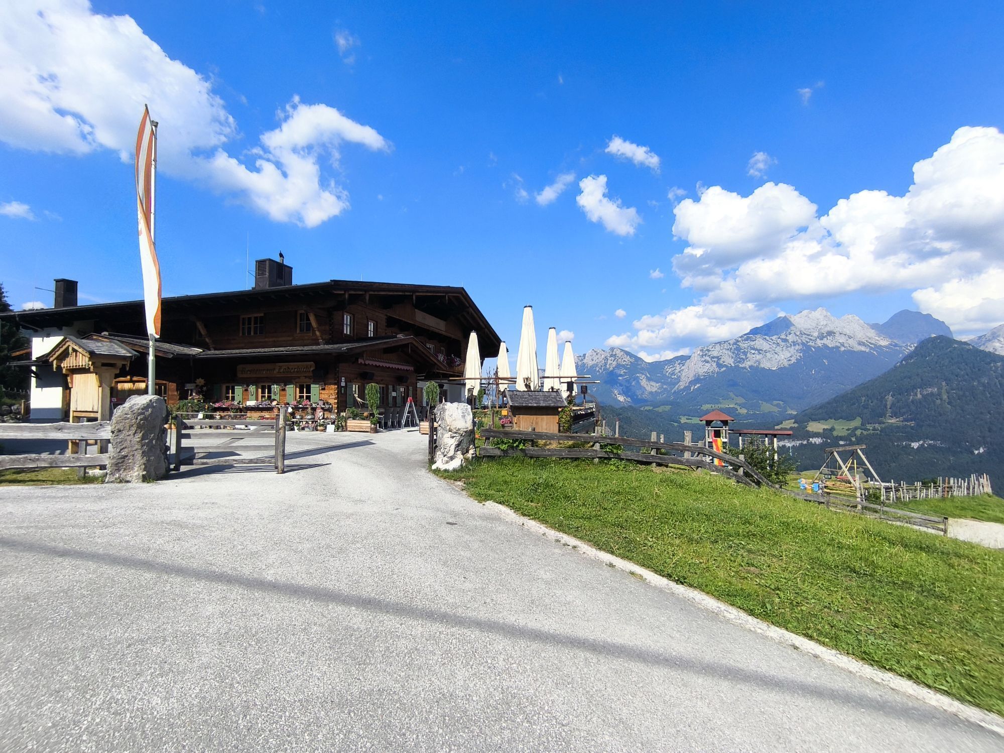
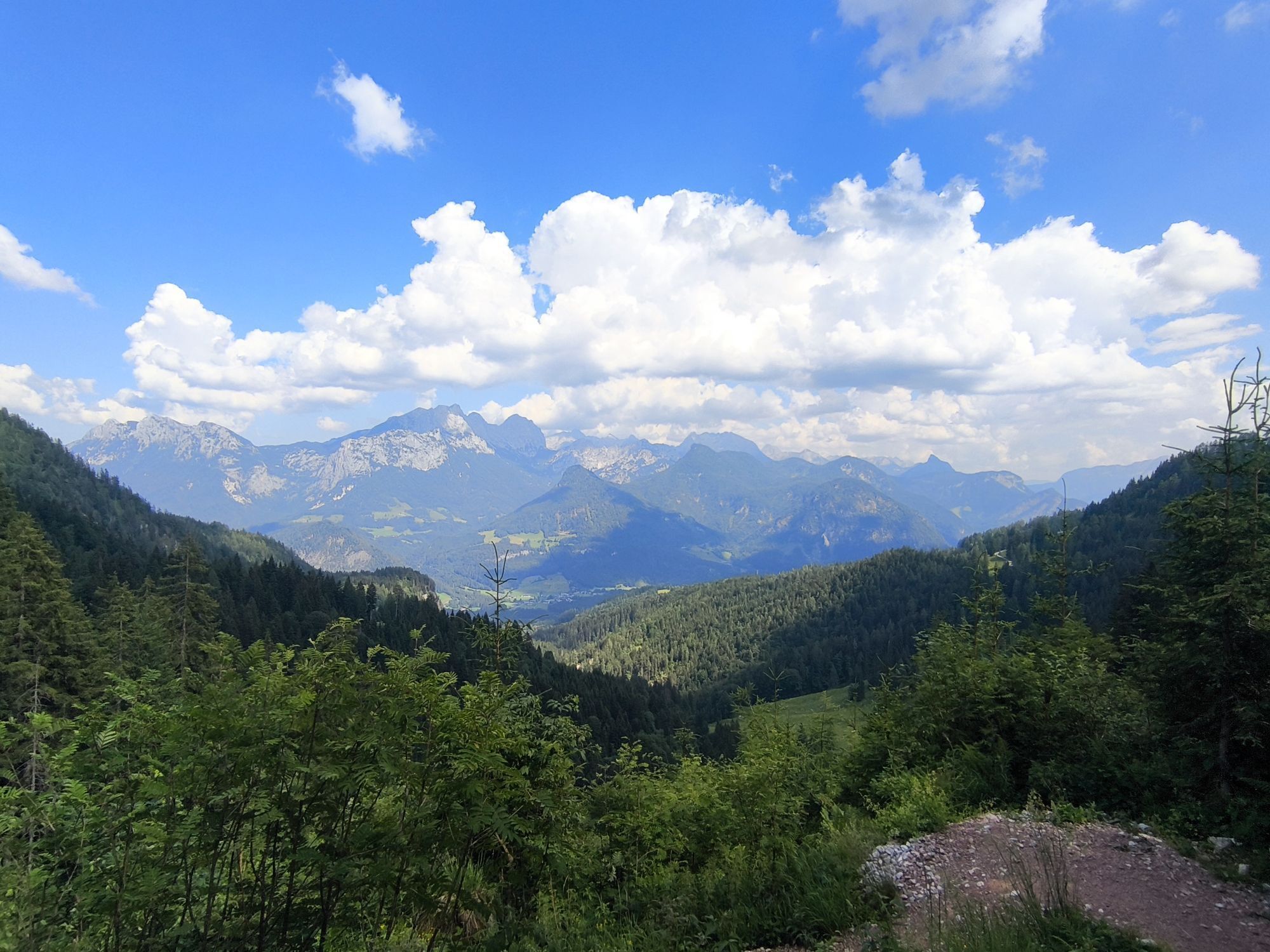
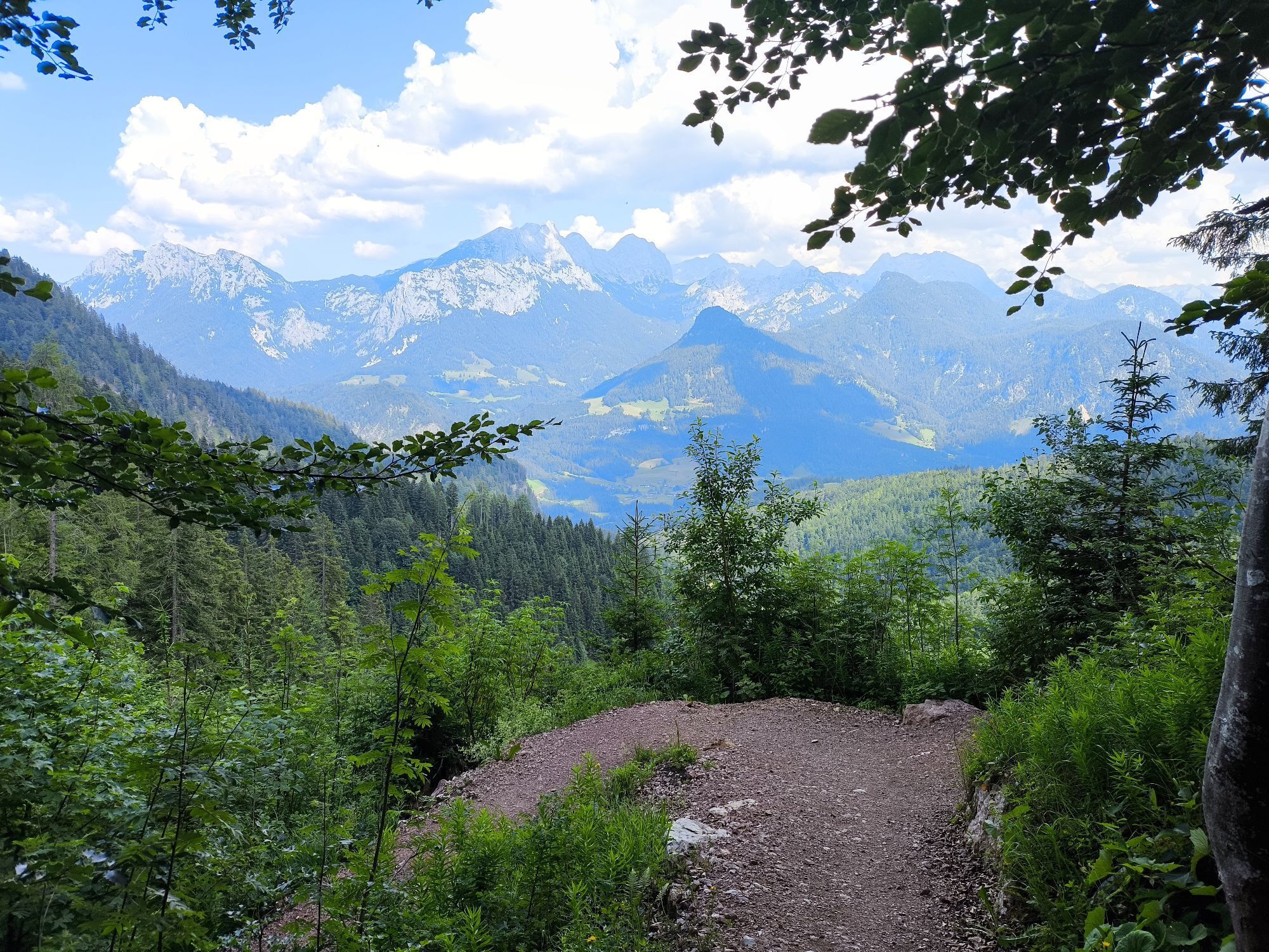
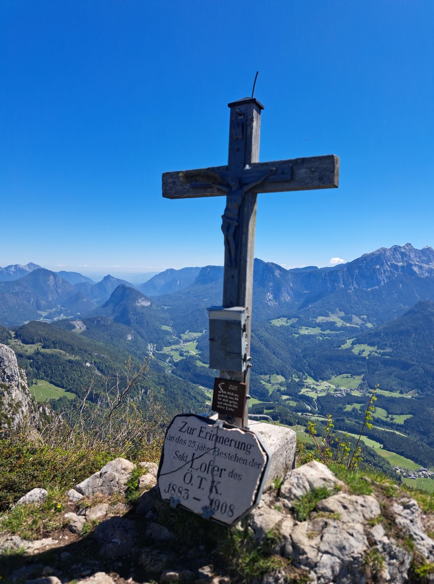
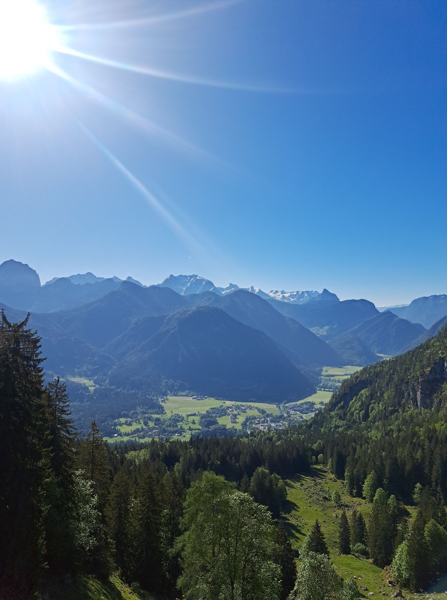
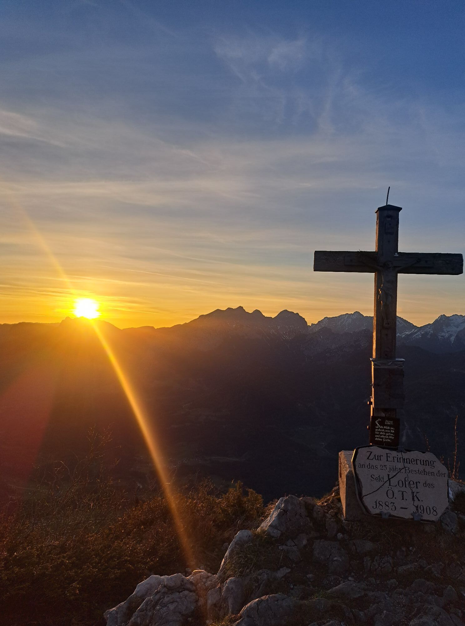
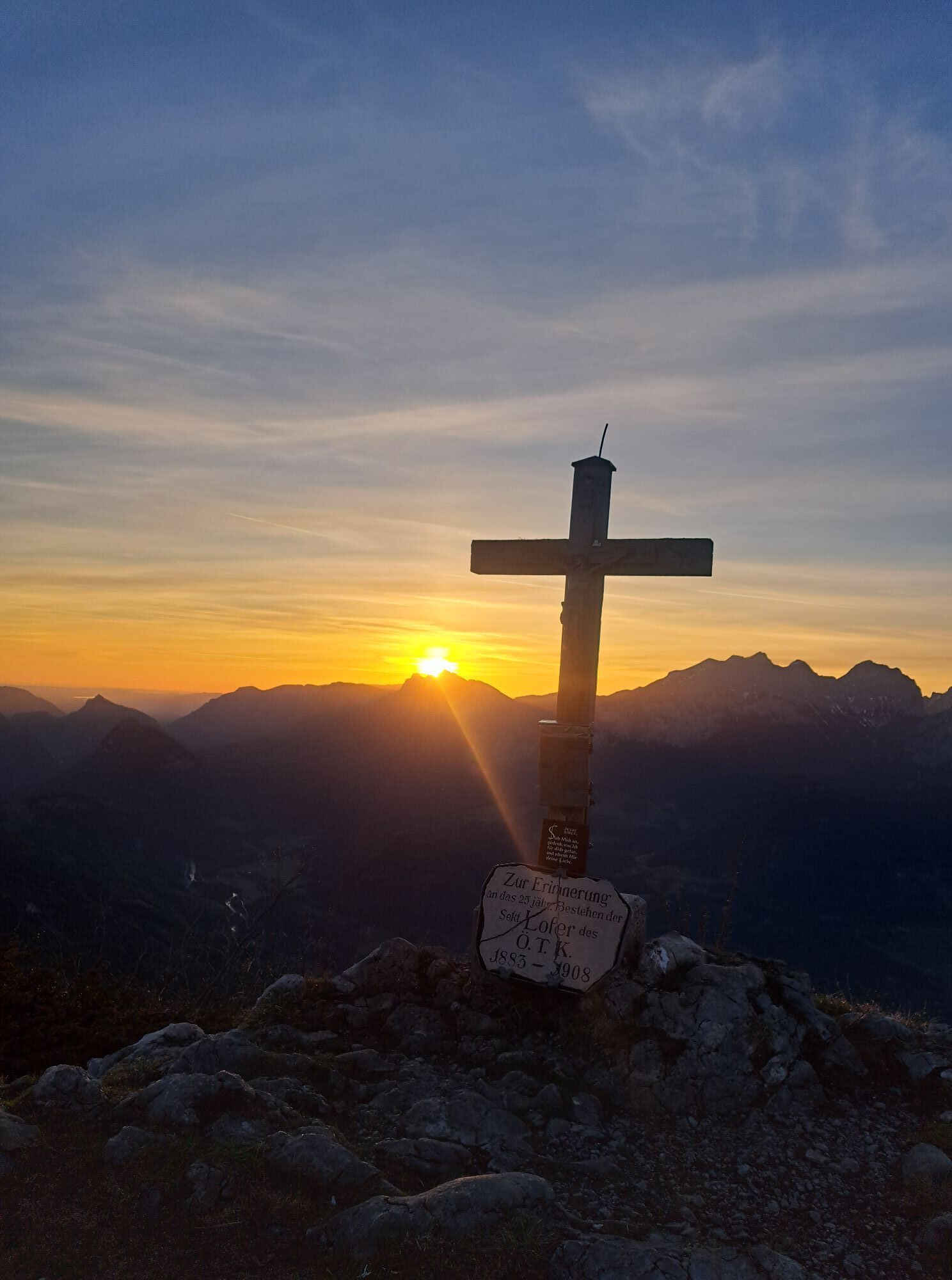
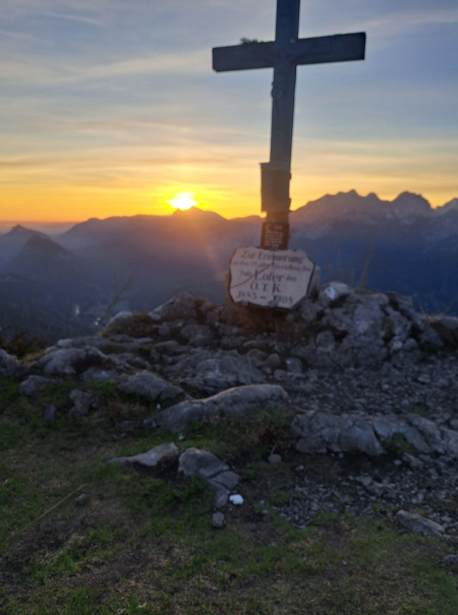
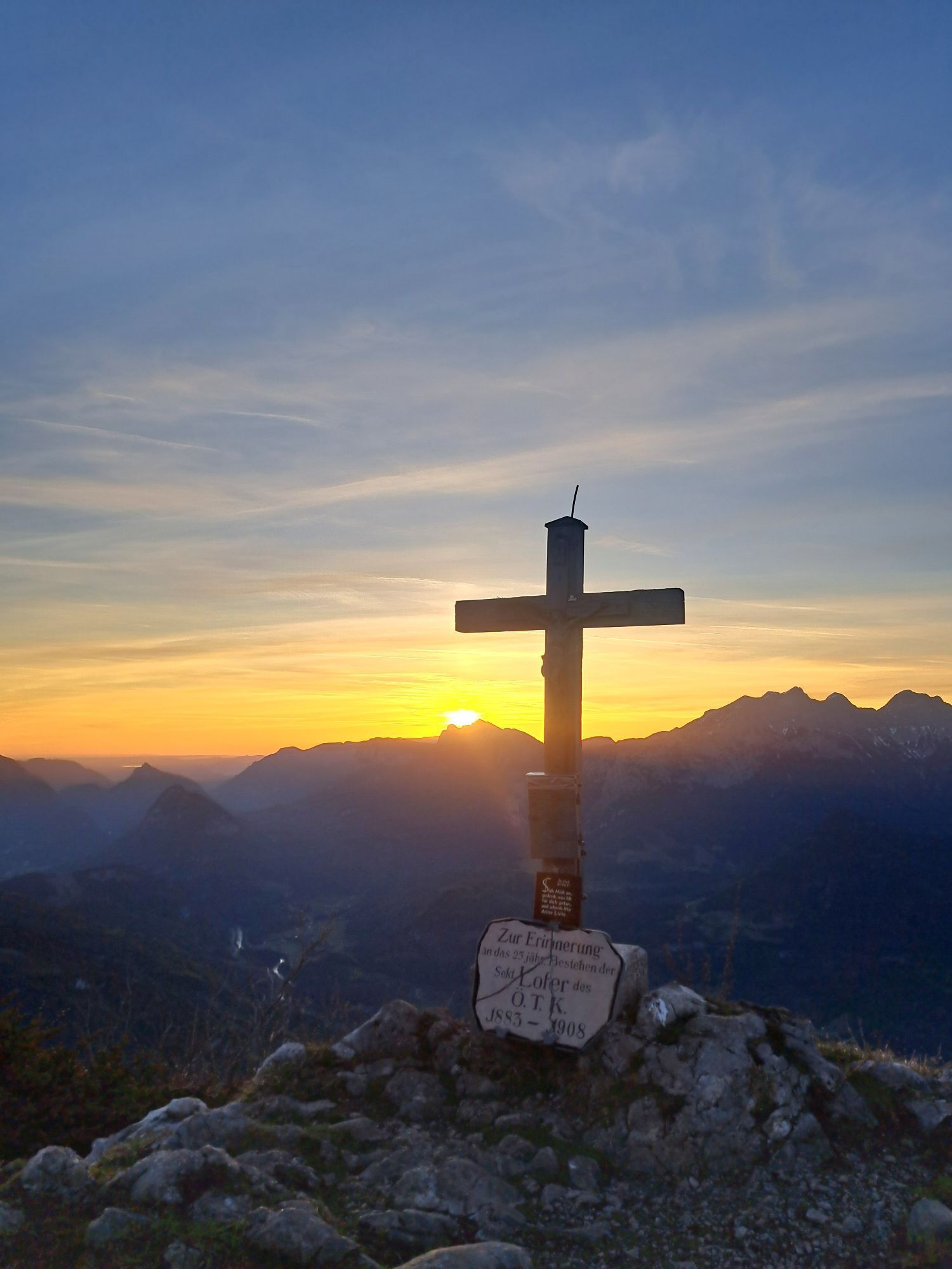
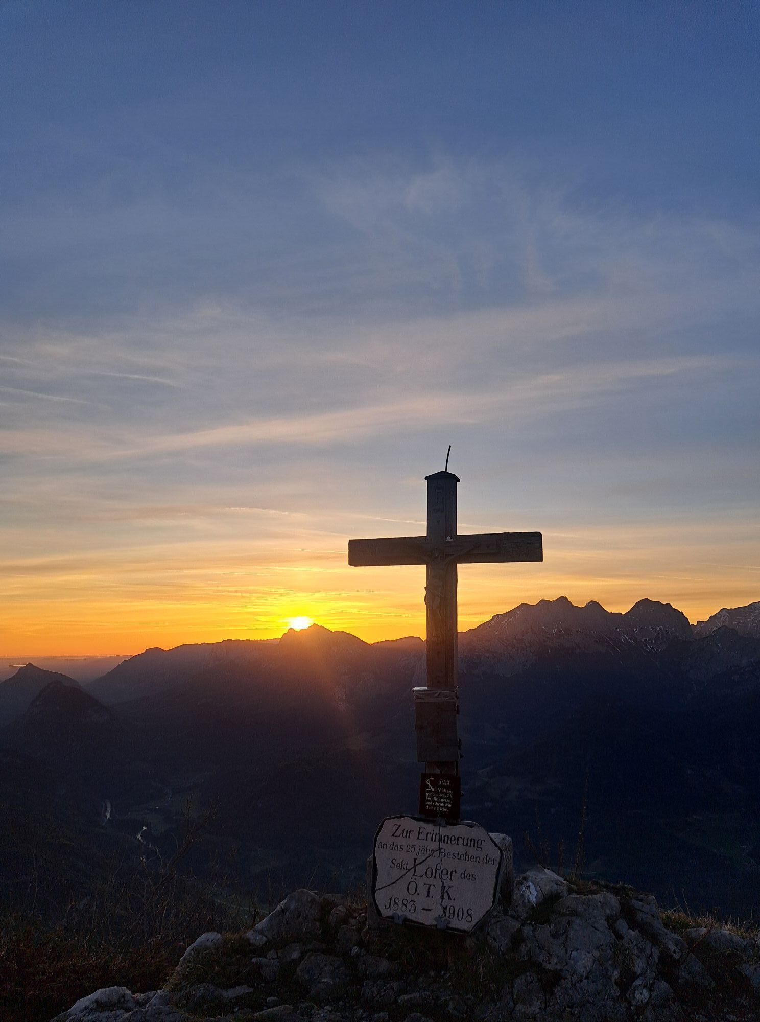
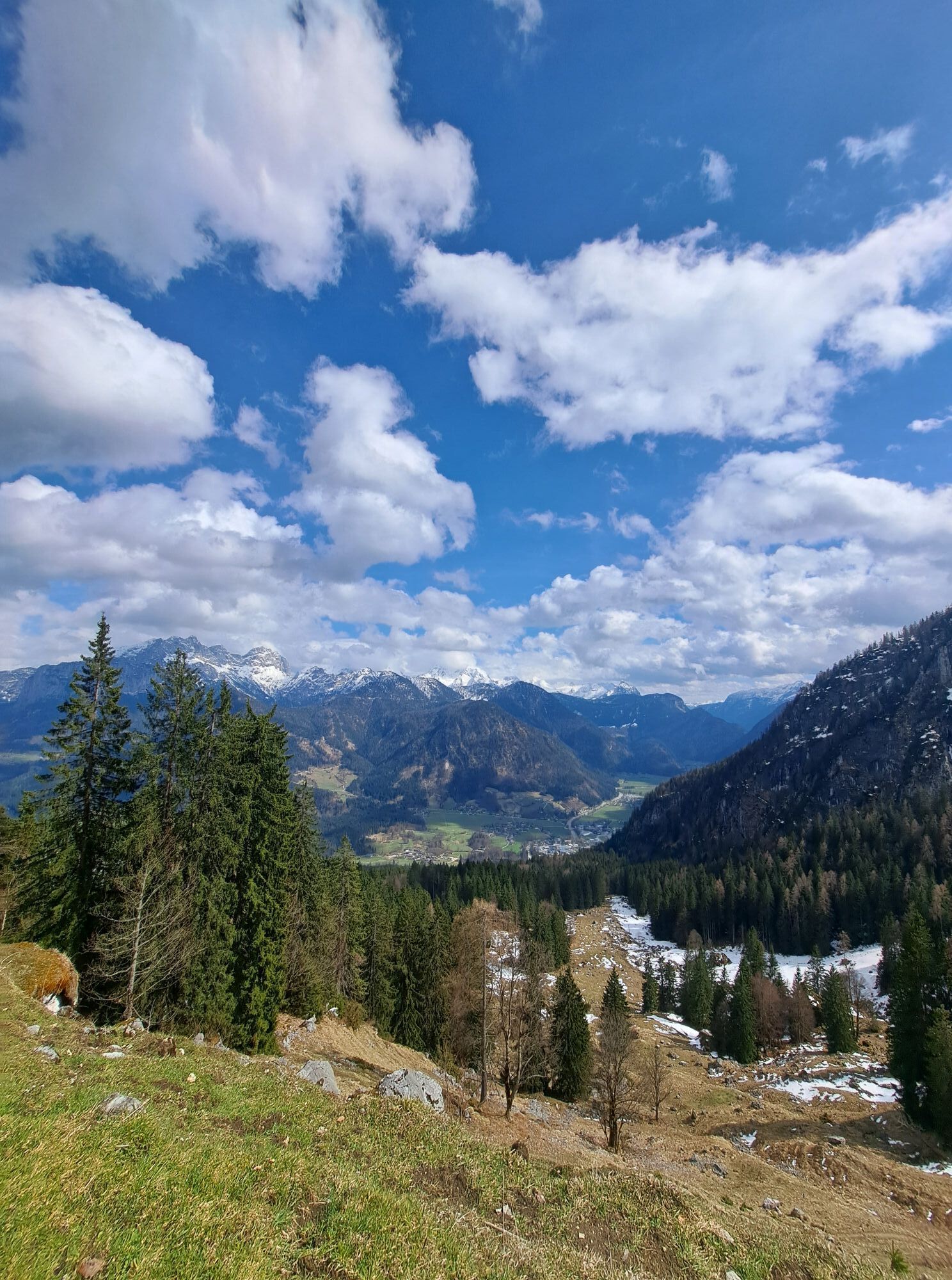
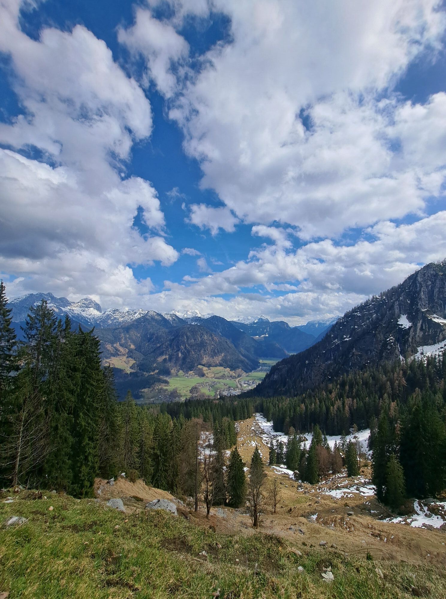
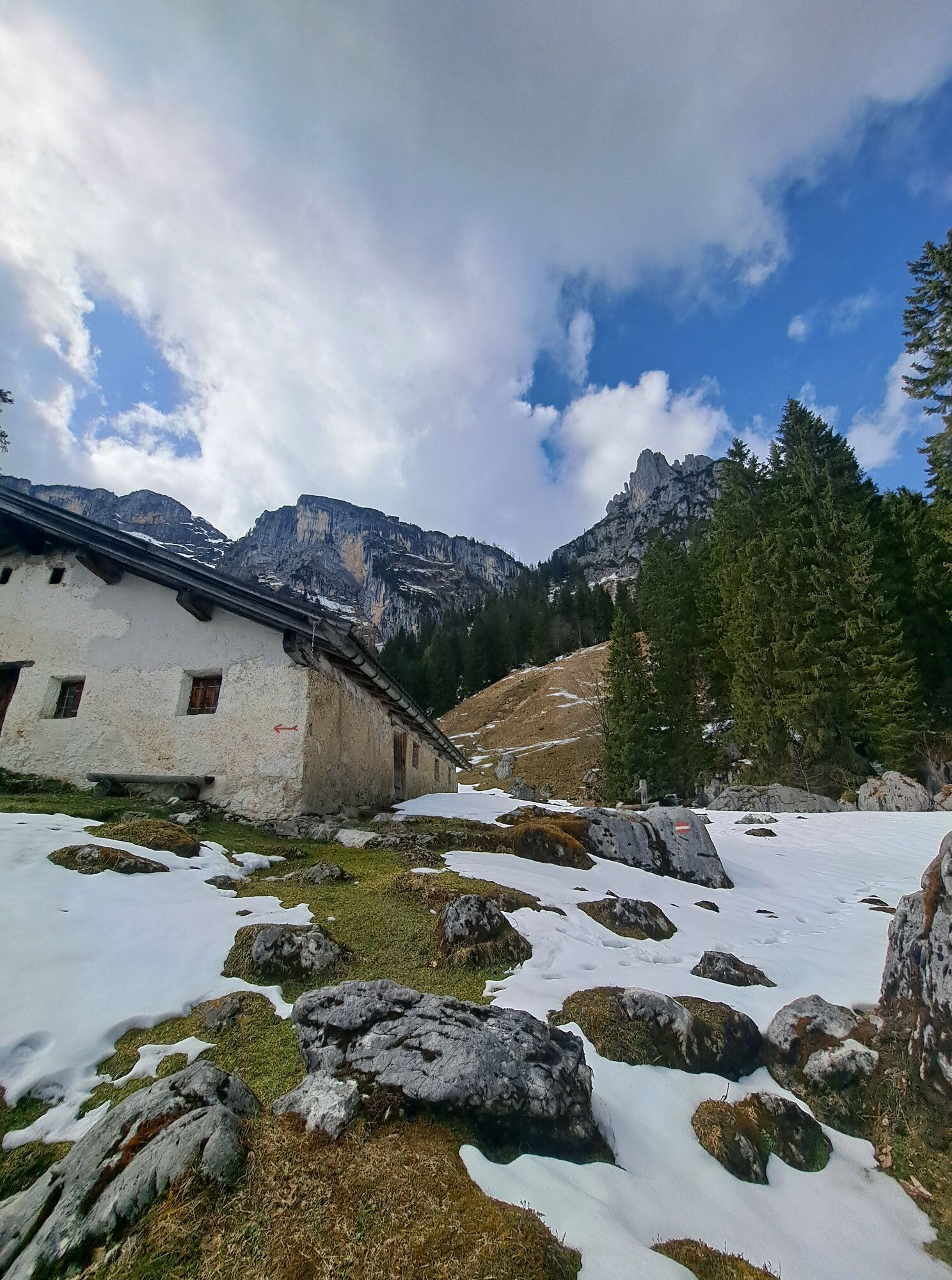
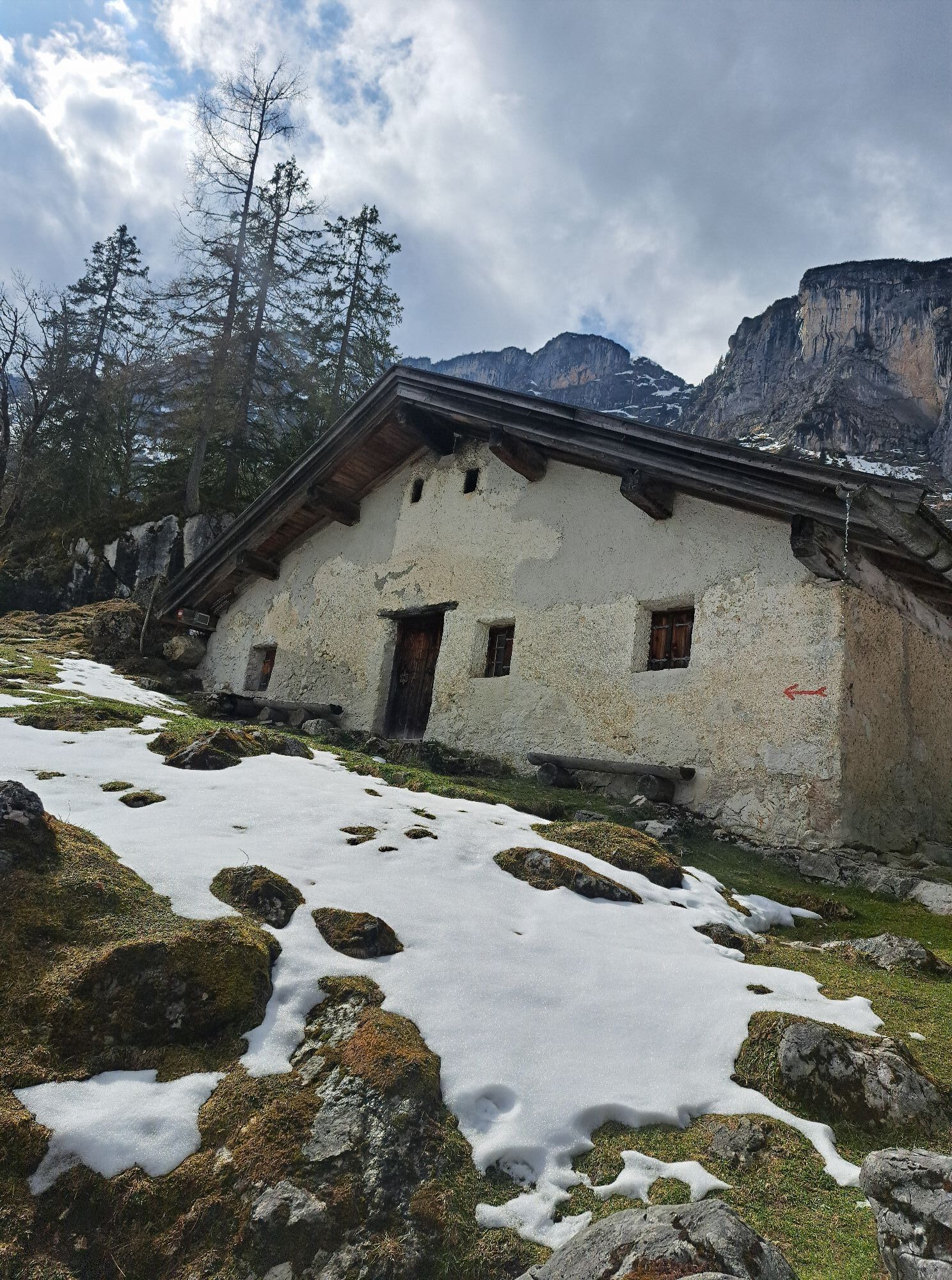
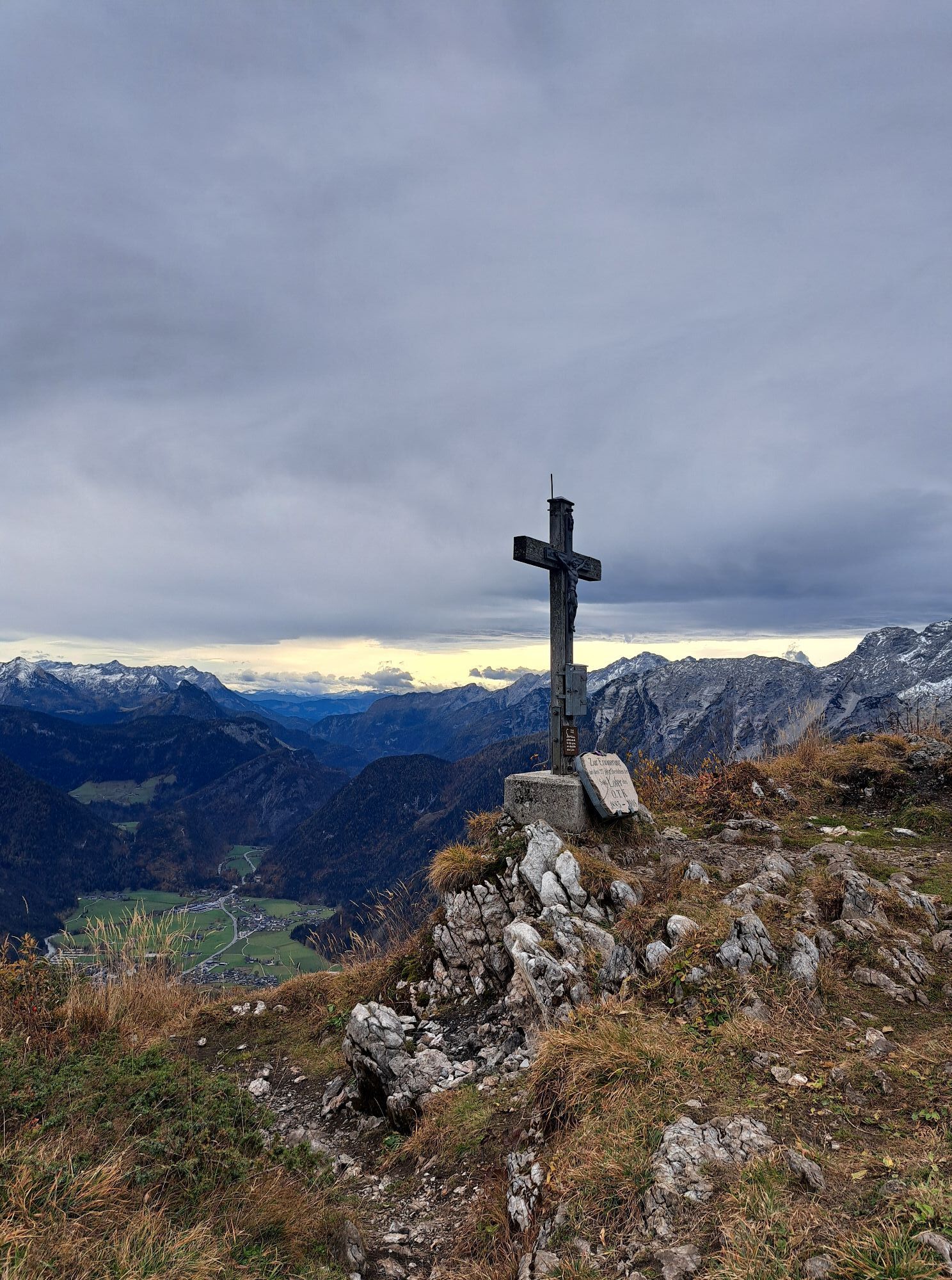
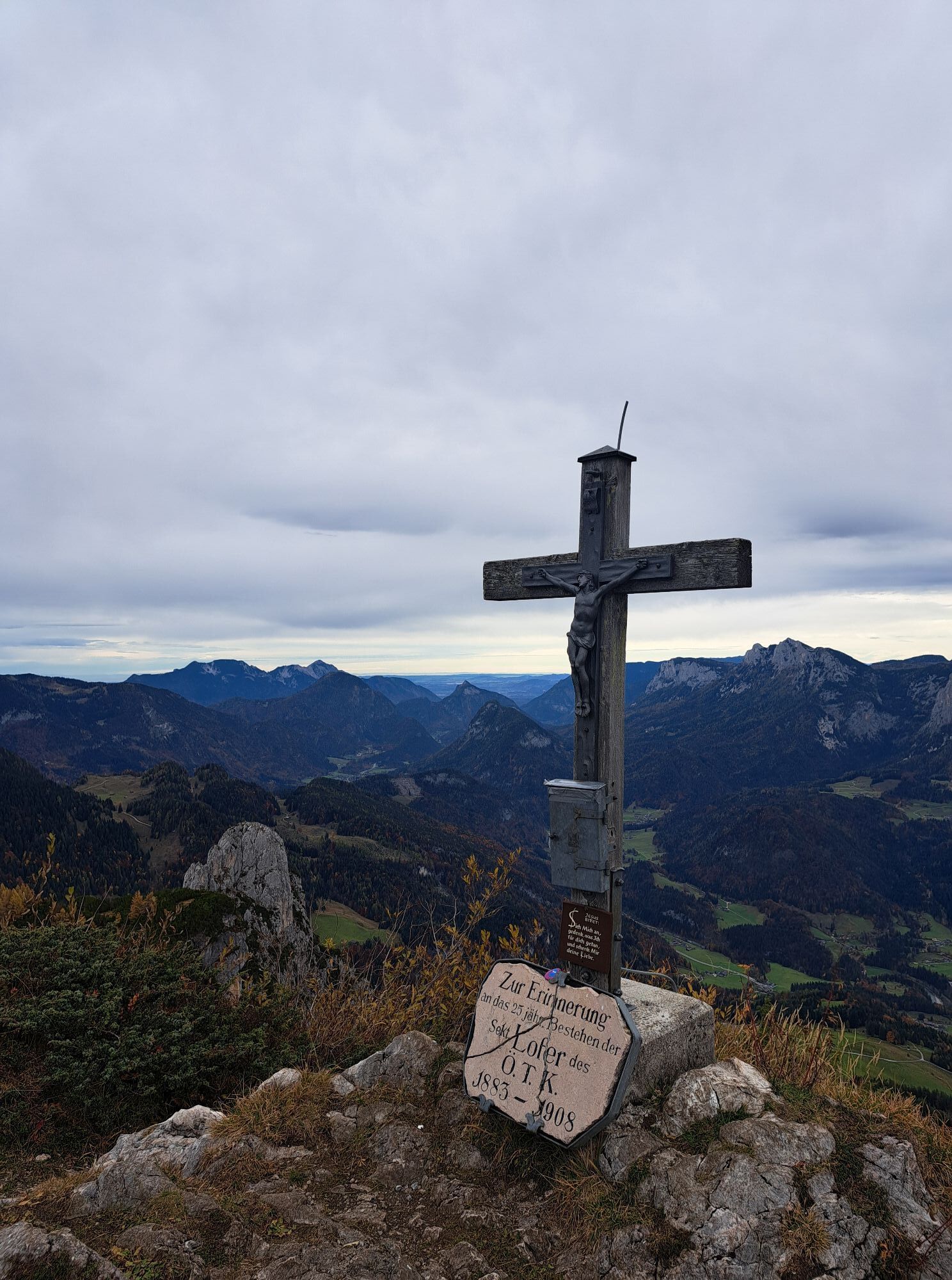
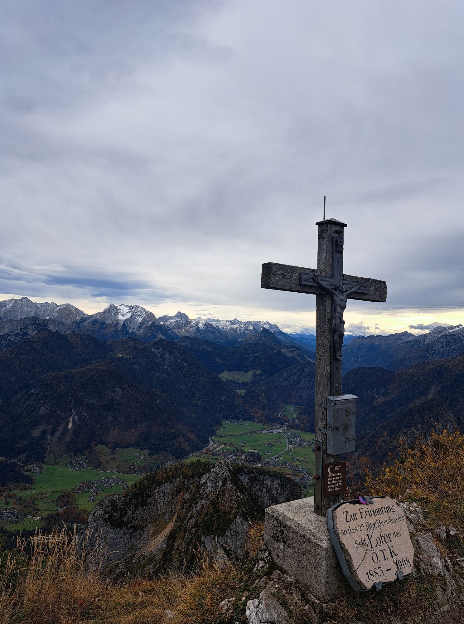
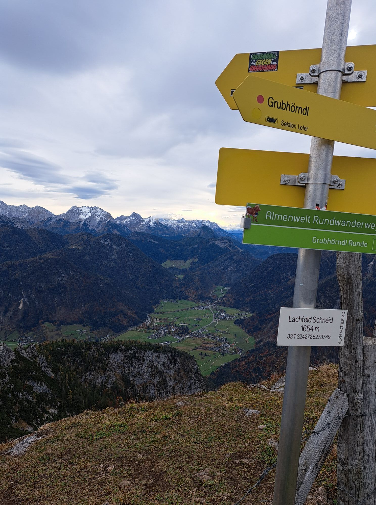
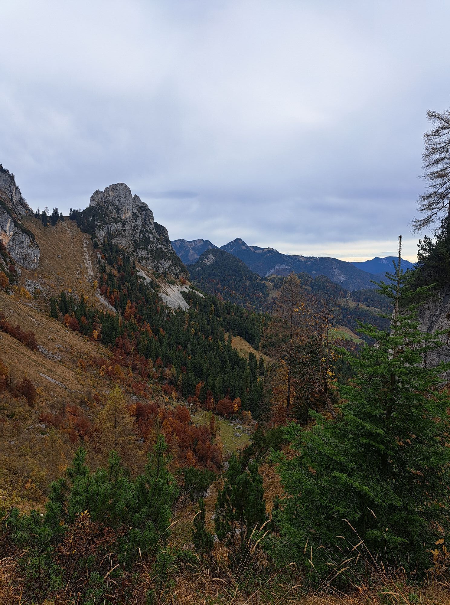
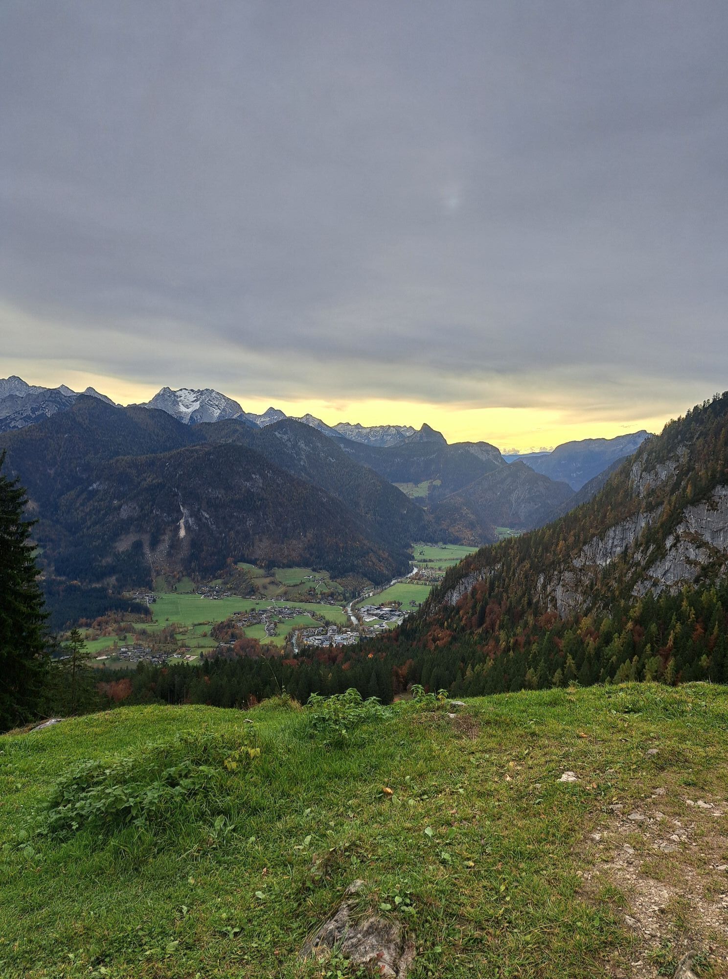
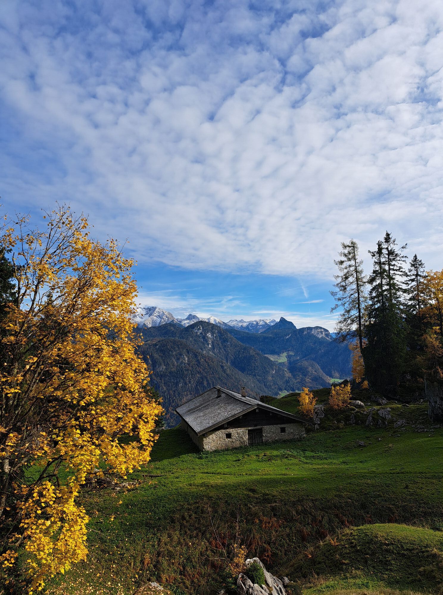
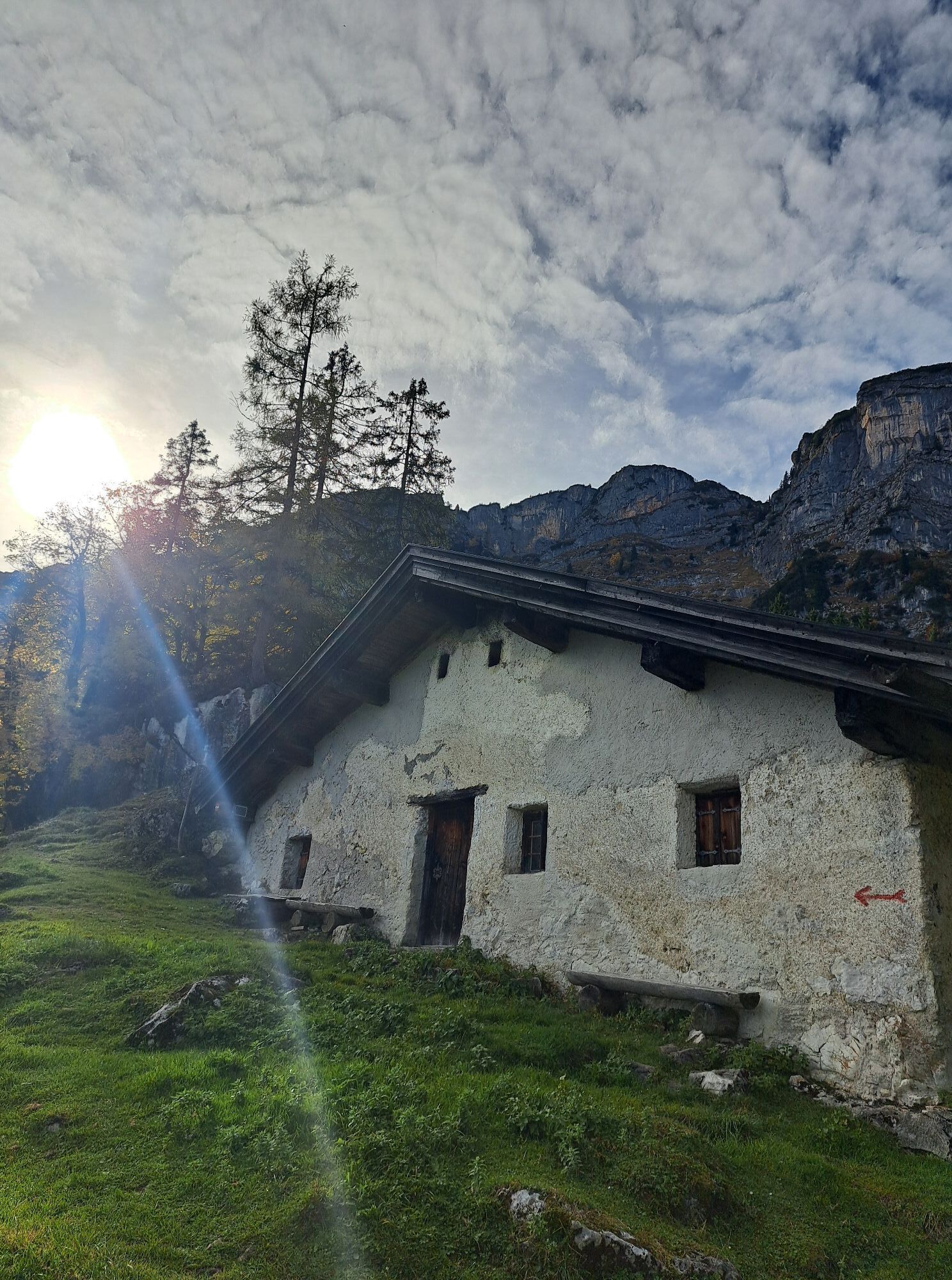
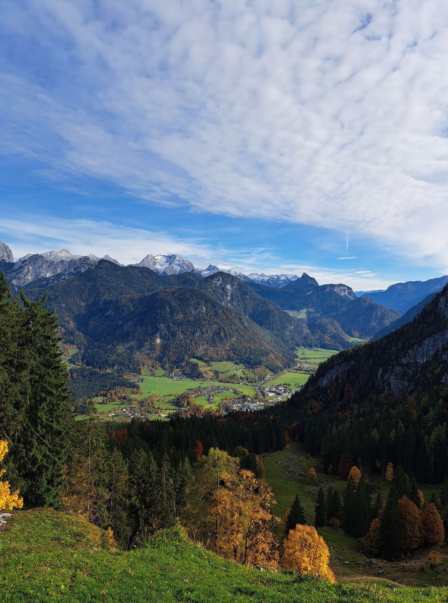
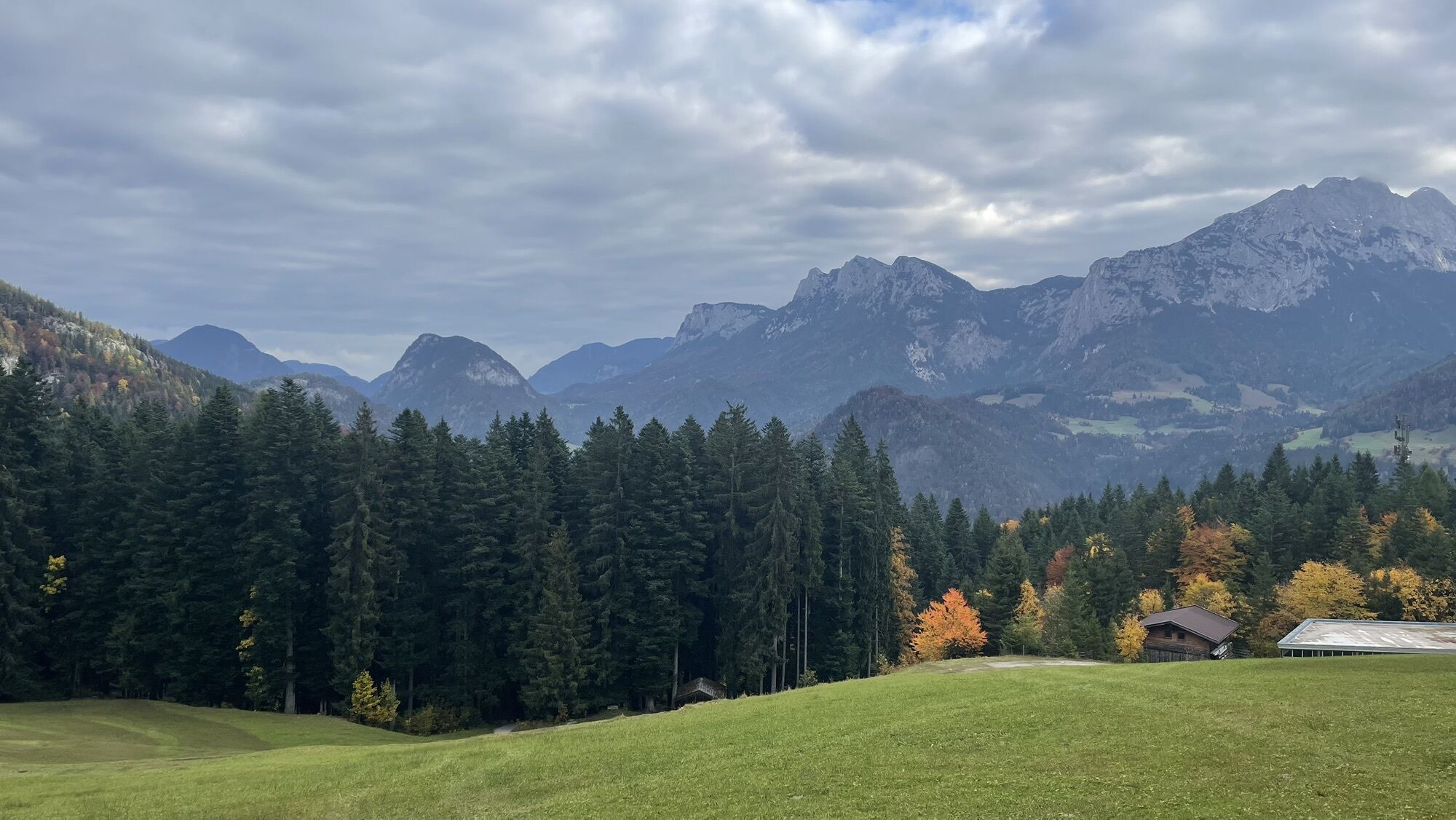
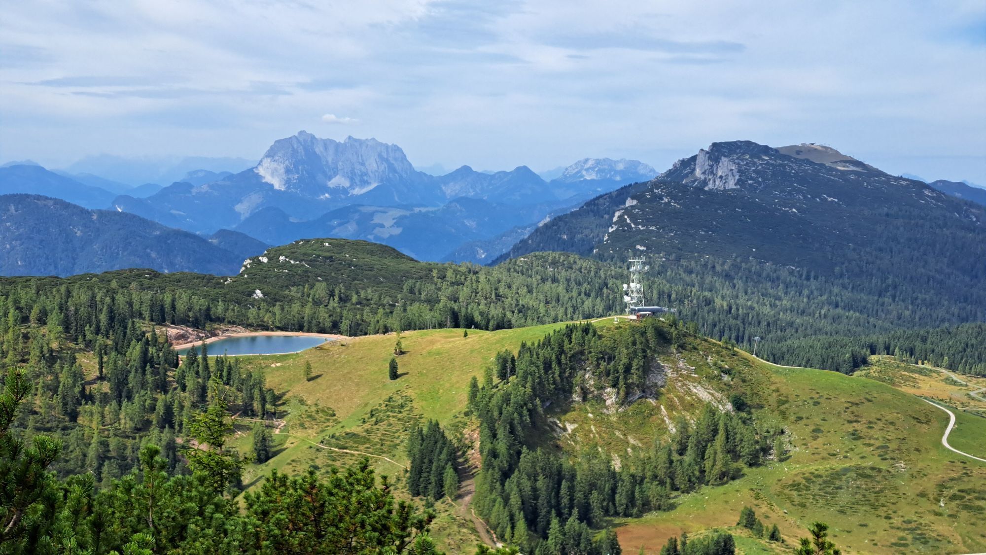
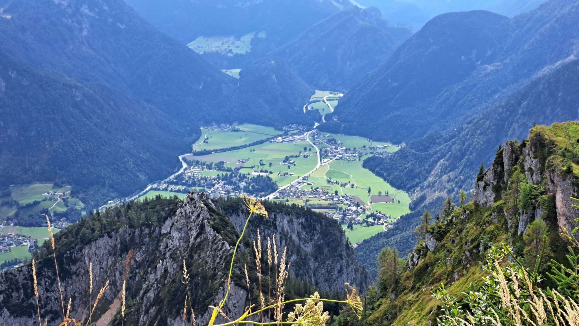
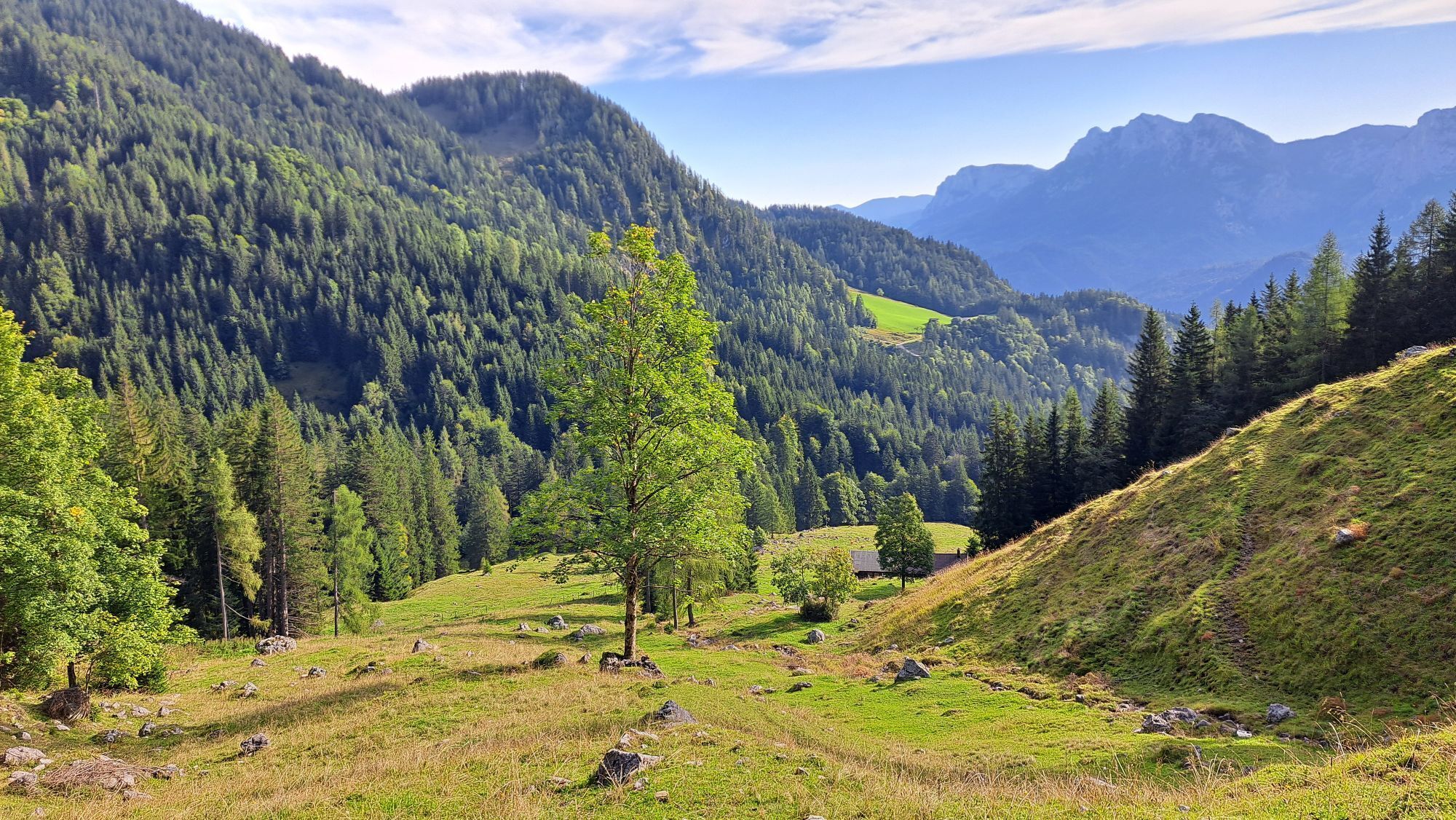
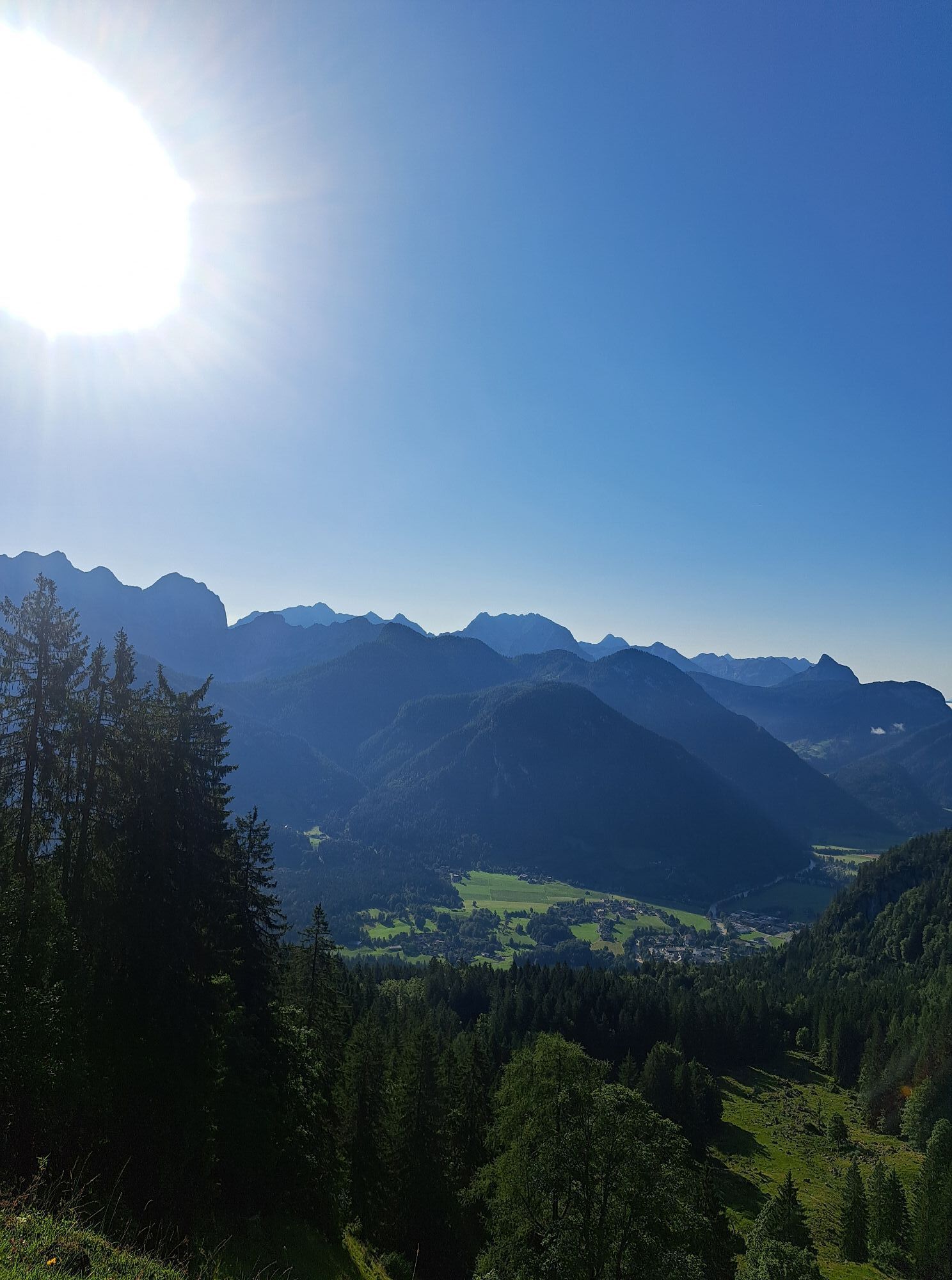
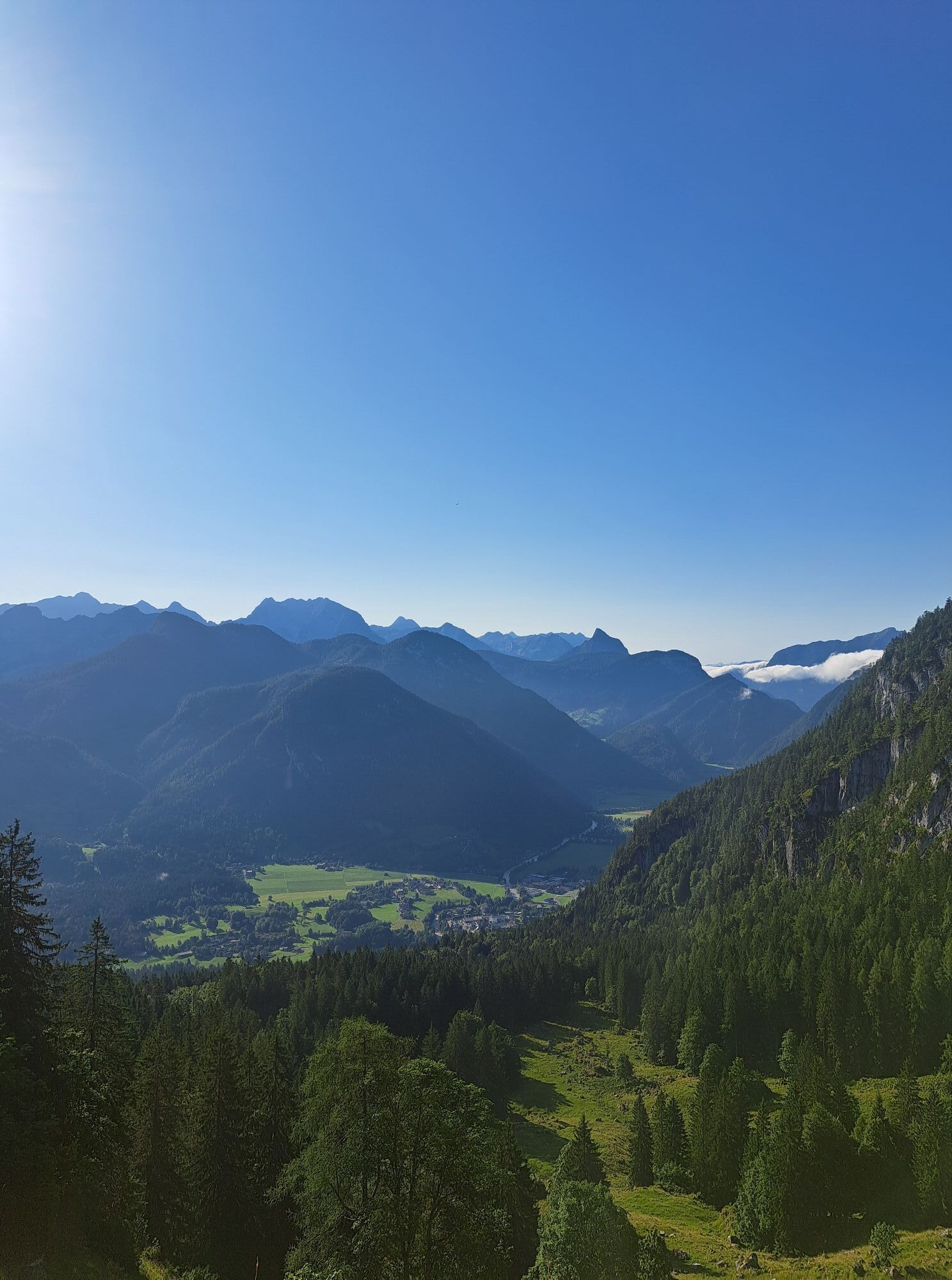
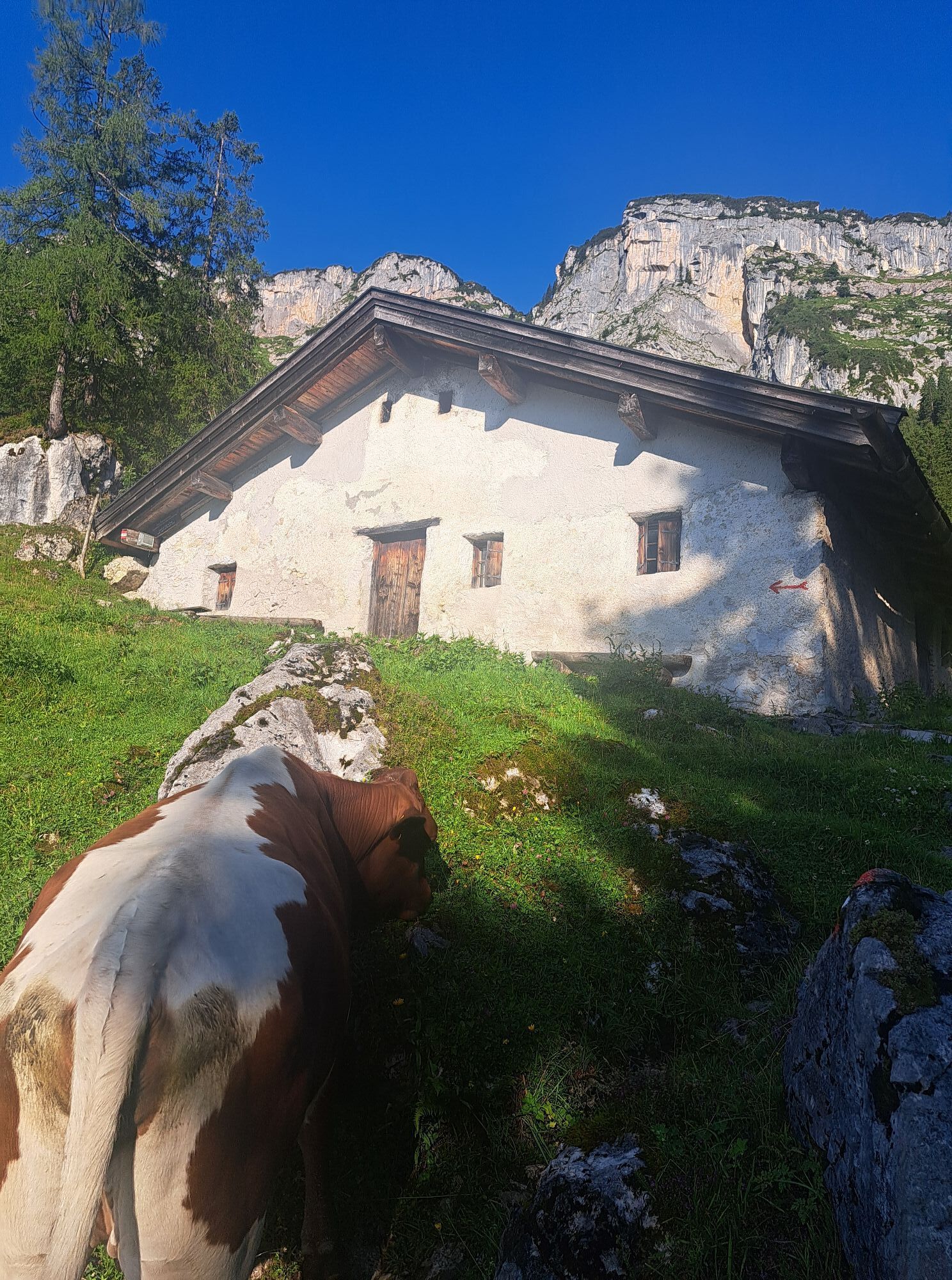
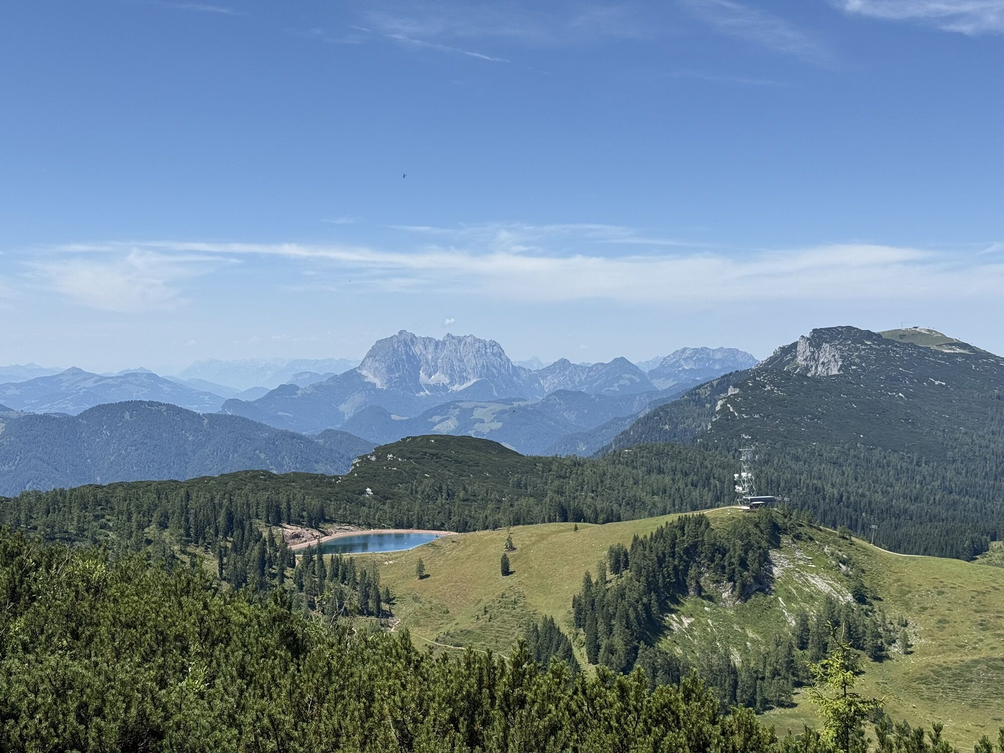
From Loderbichl, you cross the Postalm and the beautiful and original Bräugföllalm before reaching the summit of the Grubhörndl via a ridge with its unique 360° panorama of the surrounding mountain world....
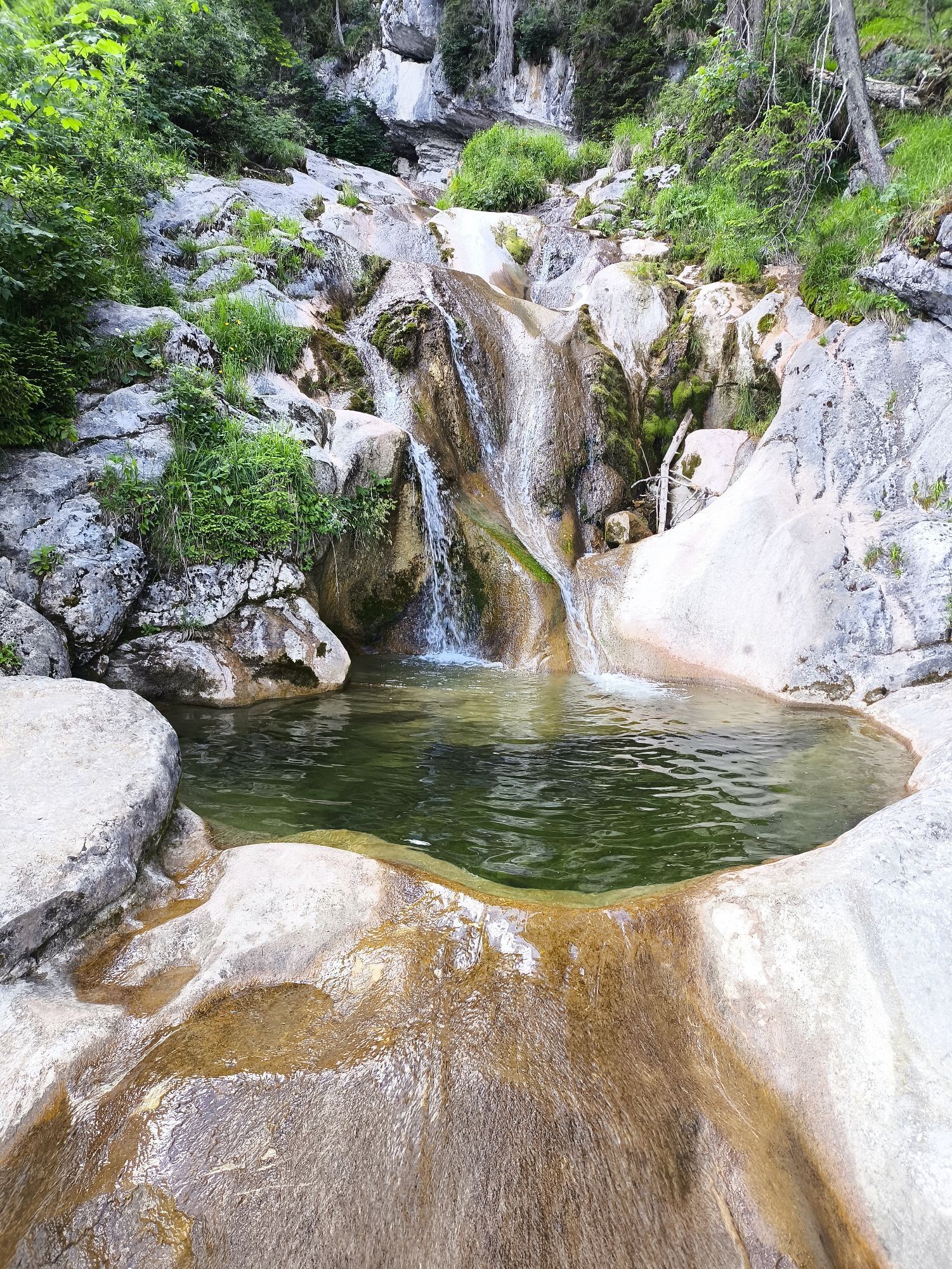
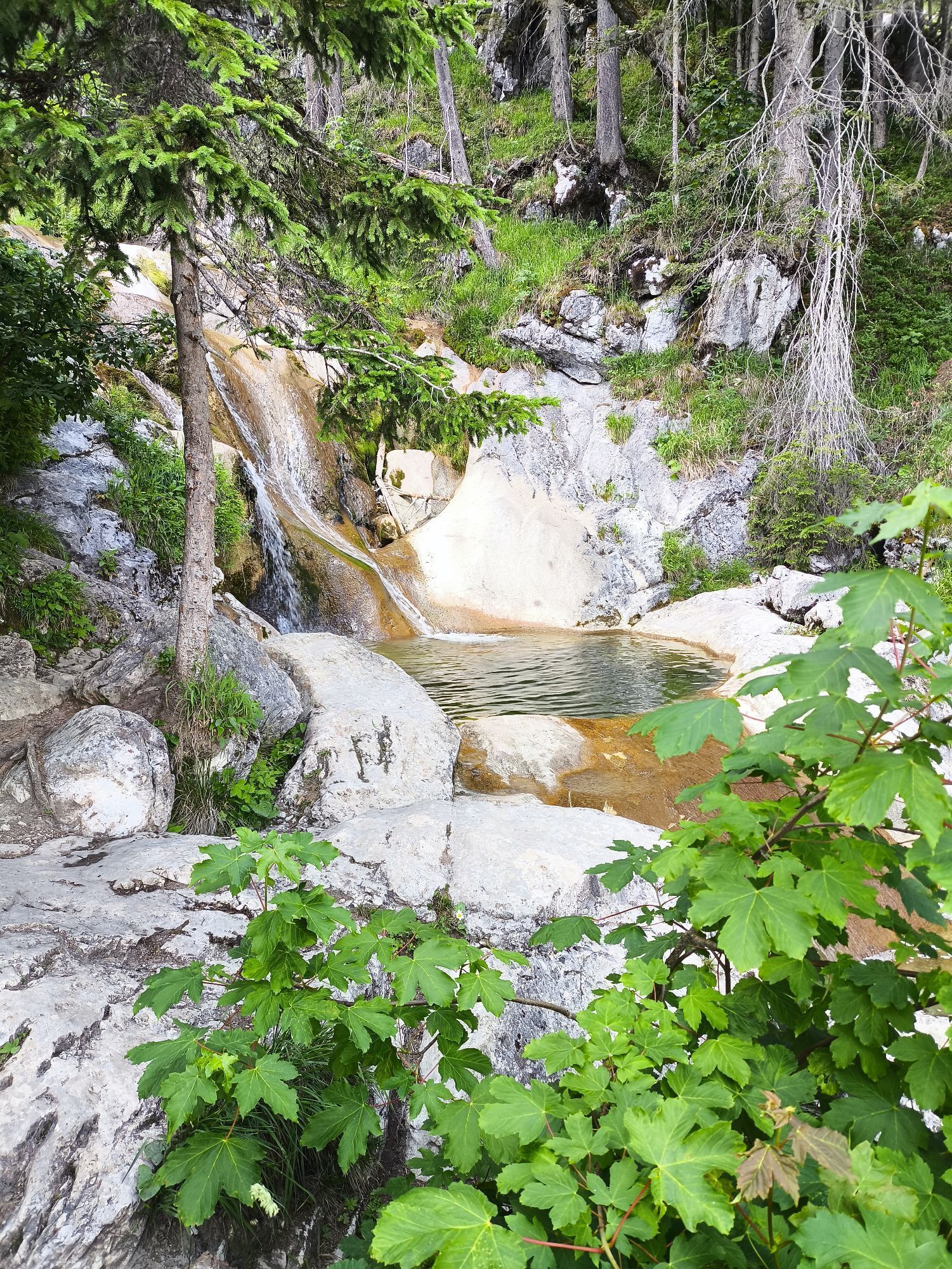
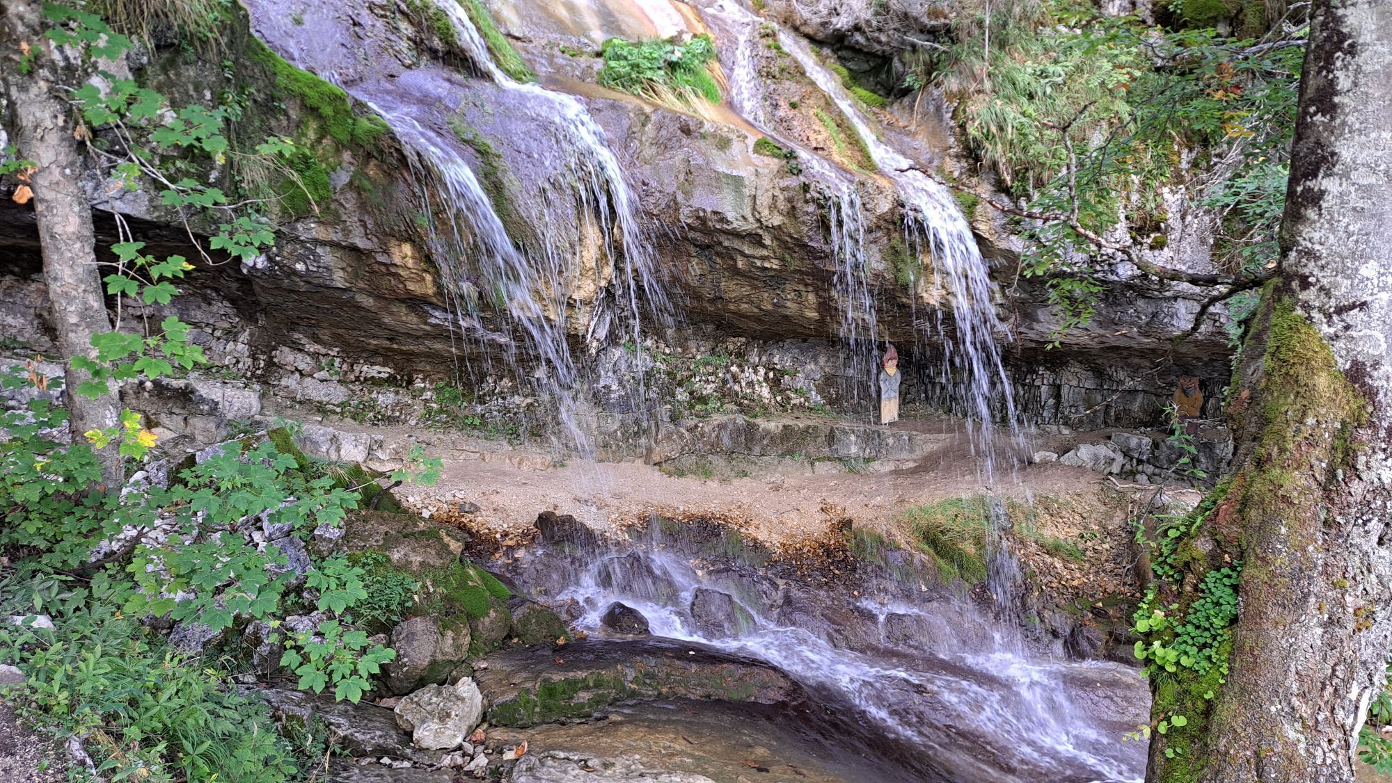
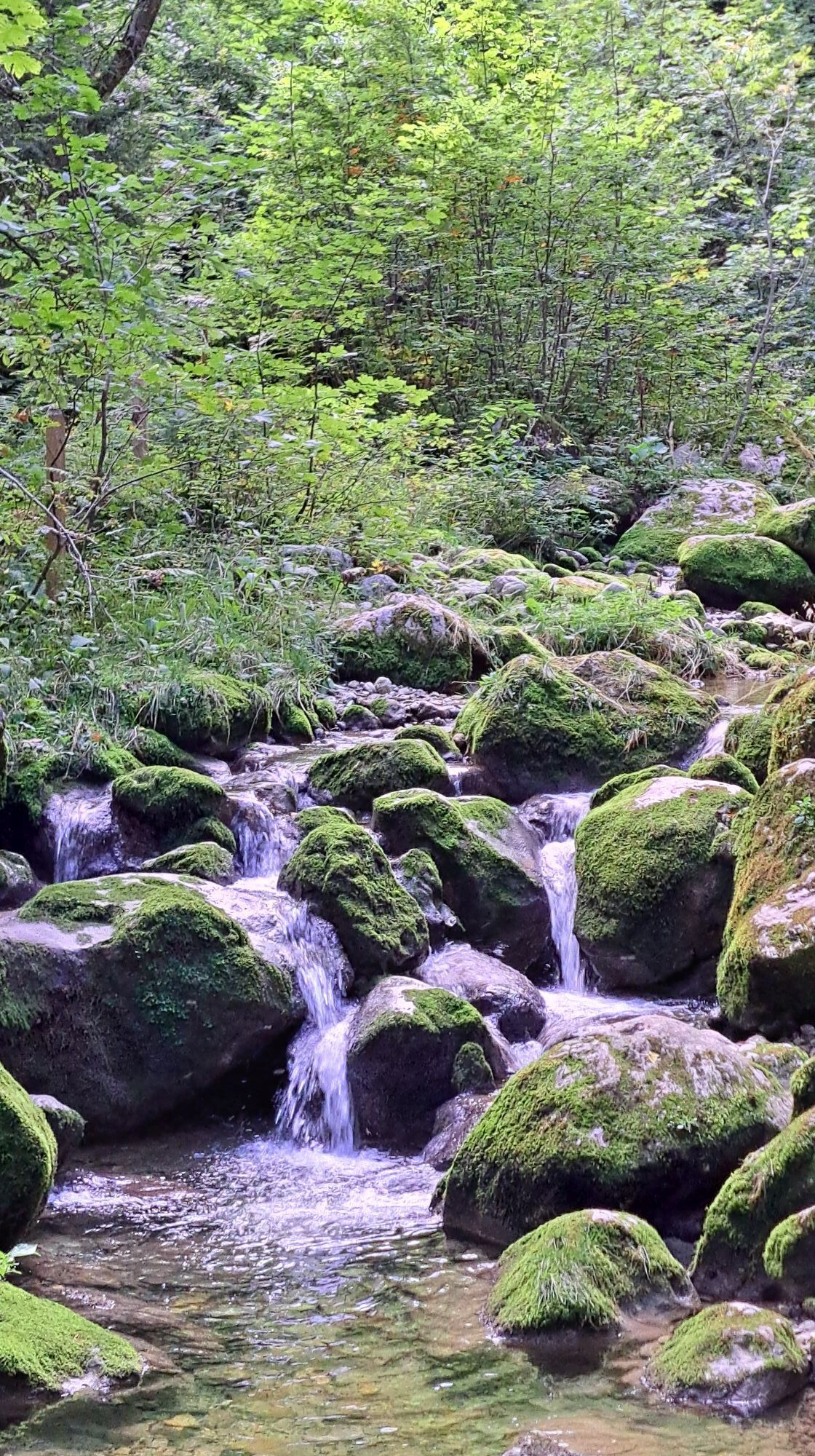
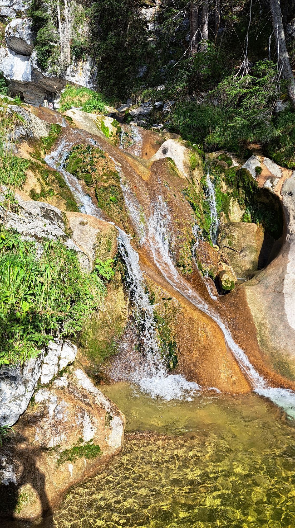
From Loderbichl, you cross the Postalm and the beautiful and original Bräugföllalm before reaching the summit of the Grubhörndl via a ridge with its unique 360° panorama of the surrounding mountain world. The descent goes through the Almenwelt Lofer with several places to stop and then further via the exciting waterfall experience path back to Loderbichl.

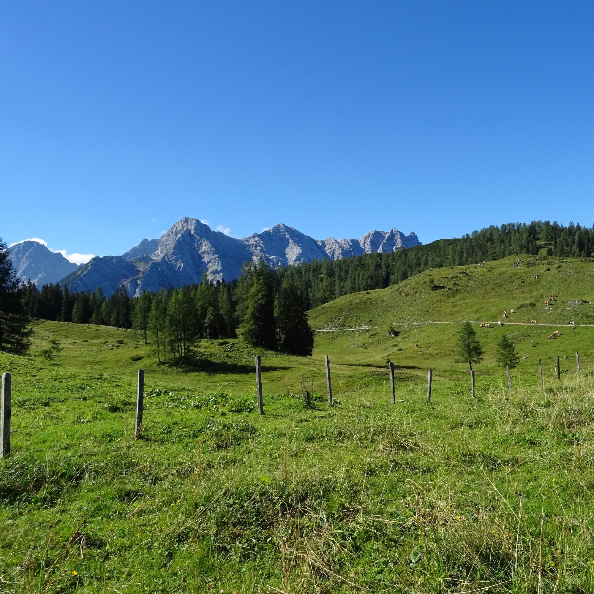
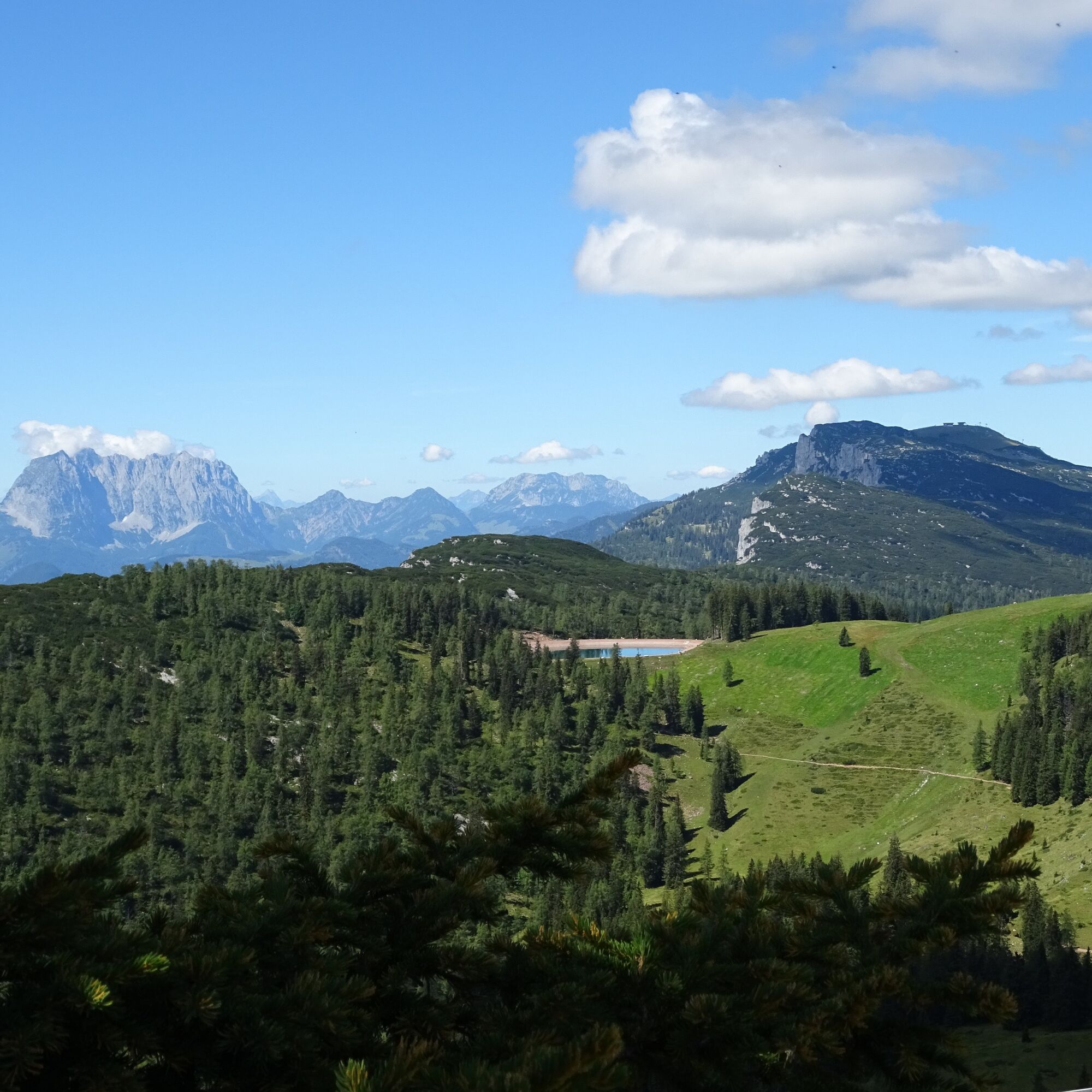
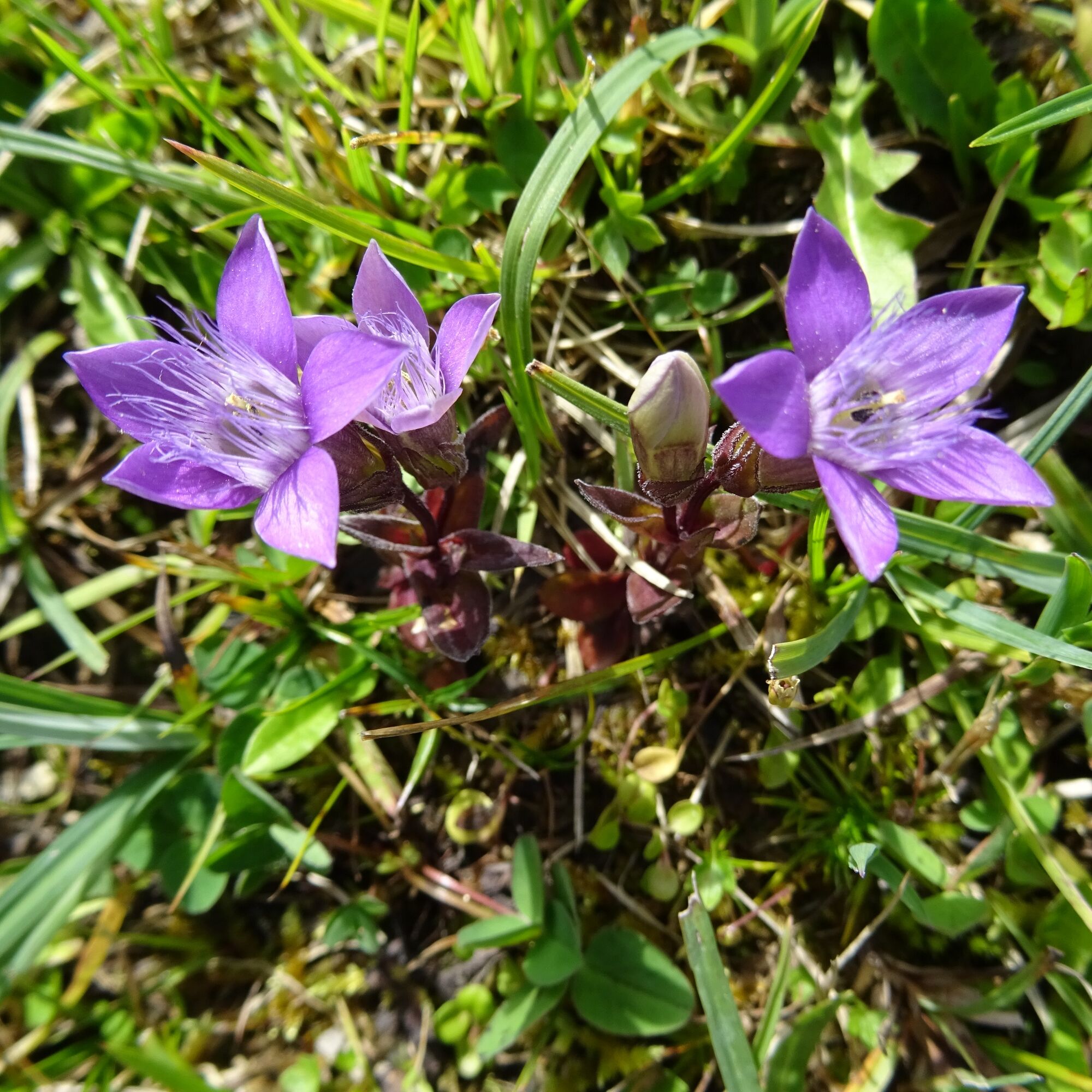

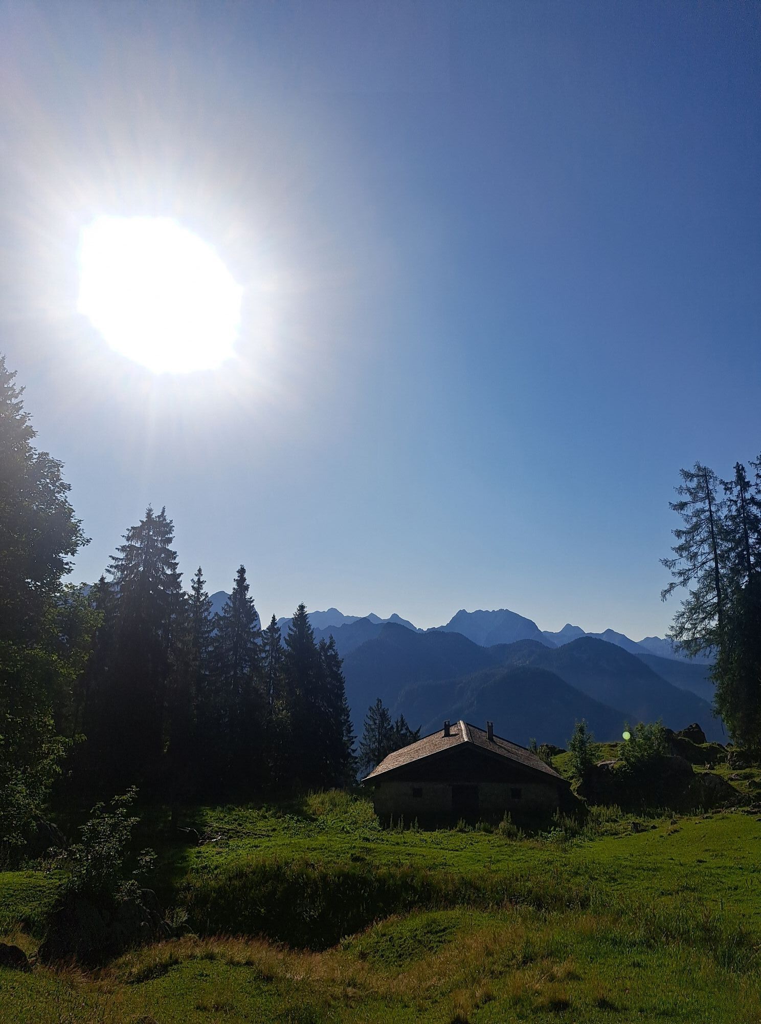
After the ascent from Lofer with the Almbahn I to Loderbichl, walk 200m on the Loferer-Alm-Straße, then turn left (path no. 7) and hike up to the Postalm. From here, continue towards Bräugföllalm. Once there, go straight ahead at the junction, and climb the alpine meadow in switchbacks up to the wall of the Grubhörndl.
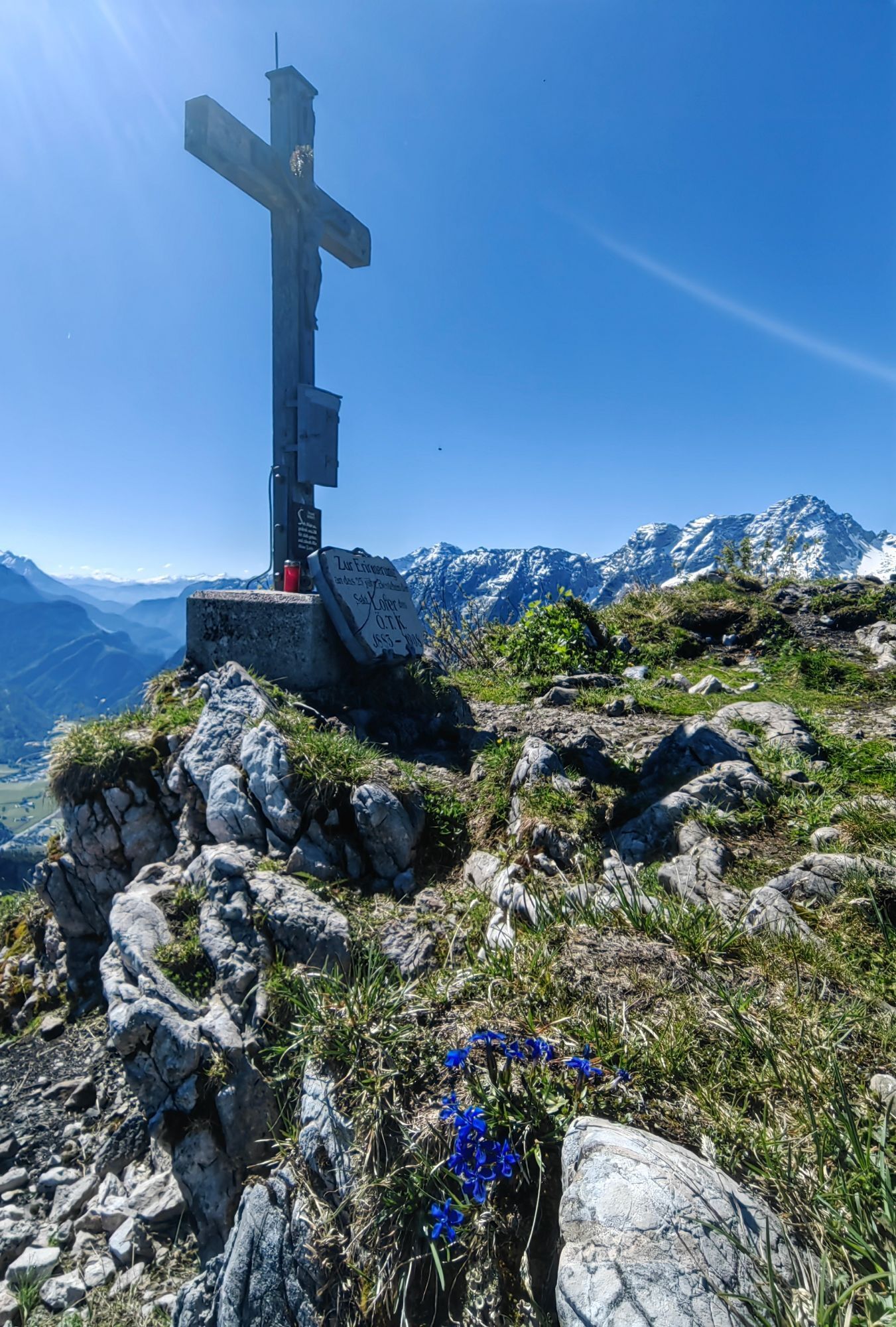
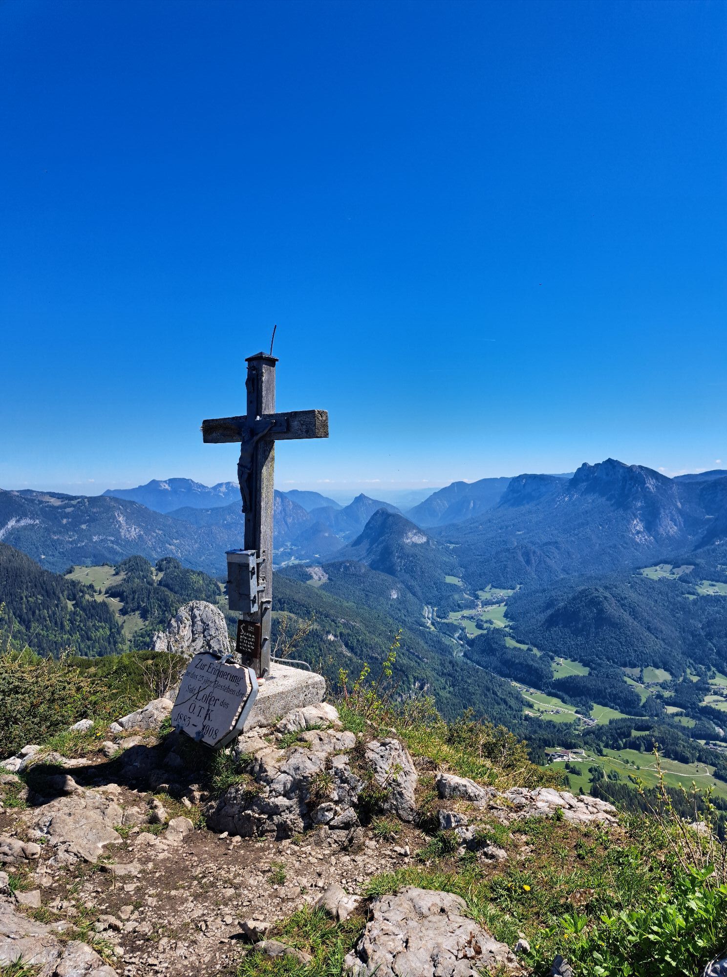
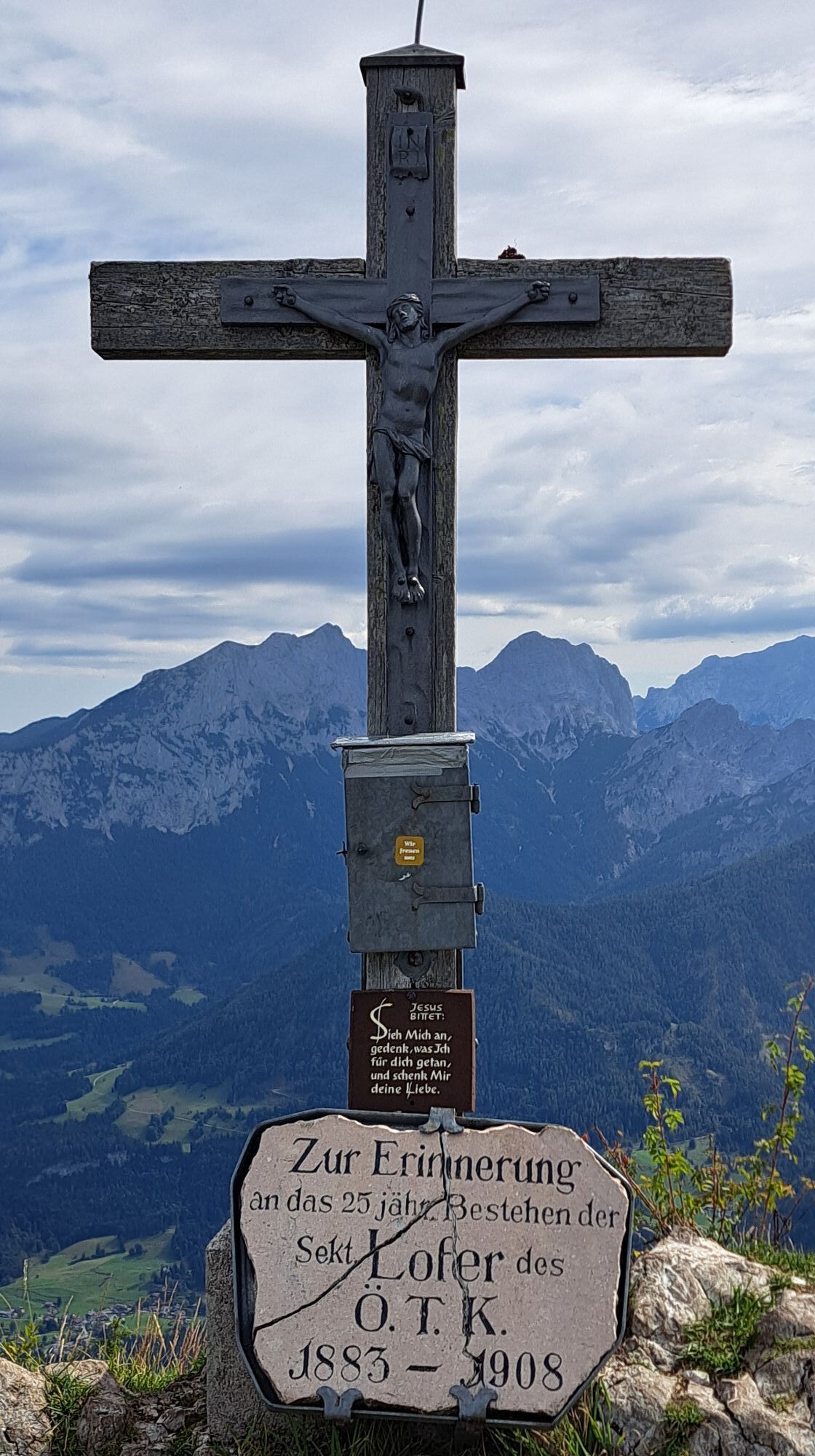
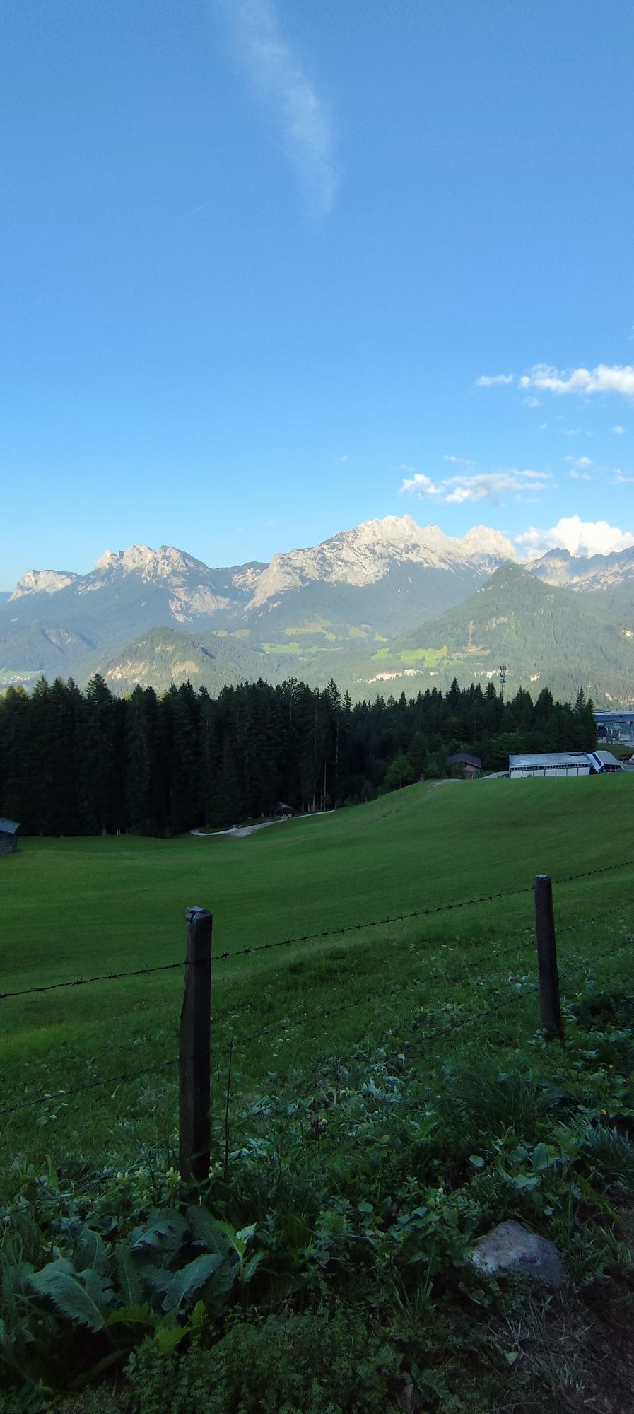
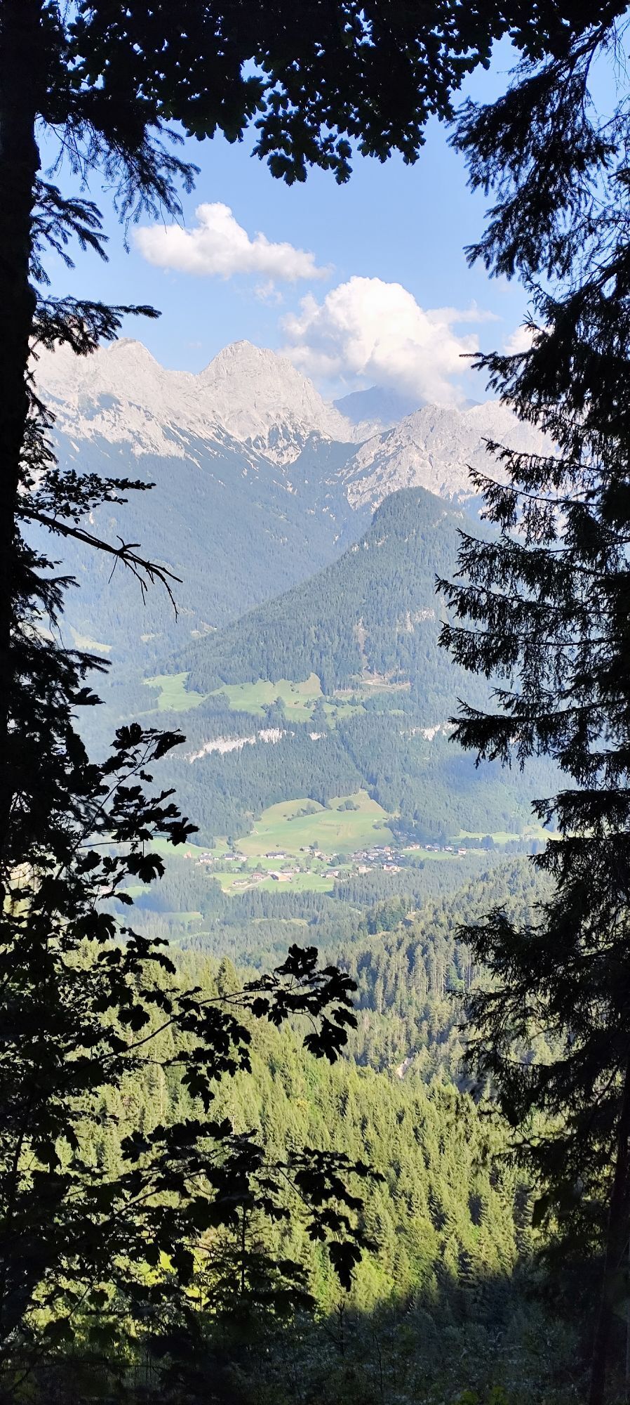
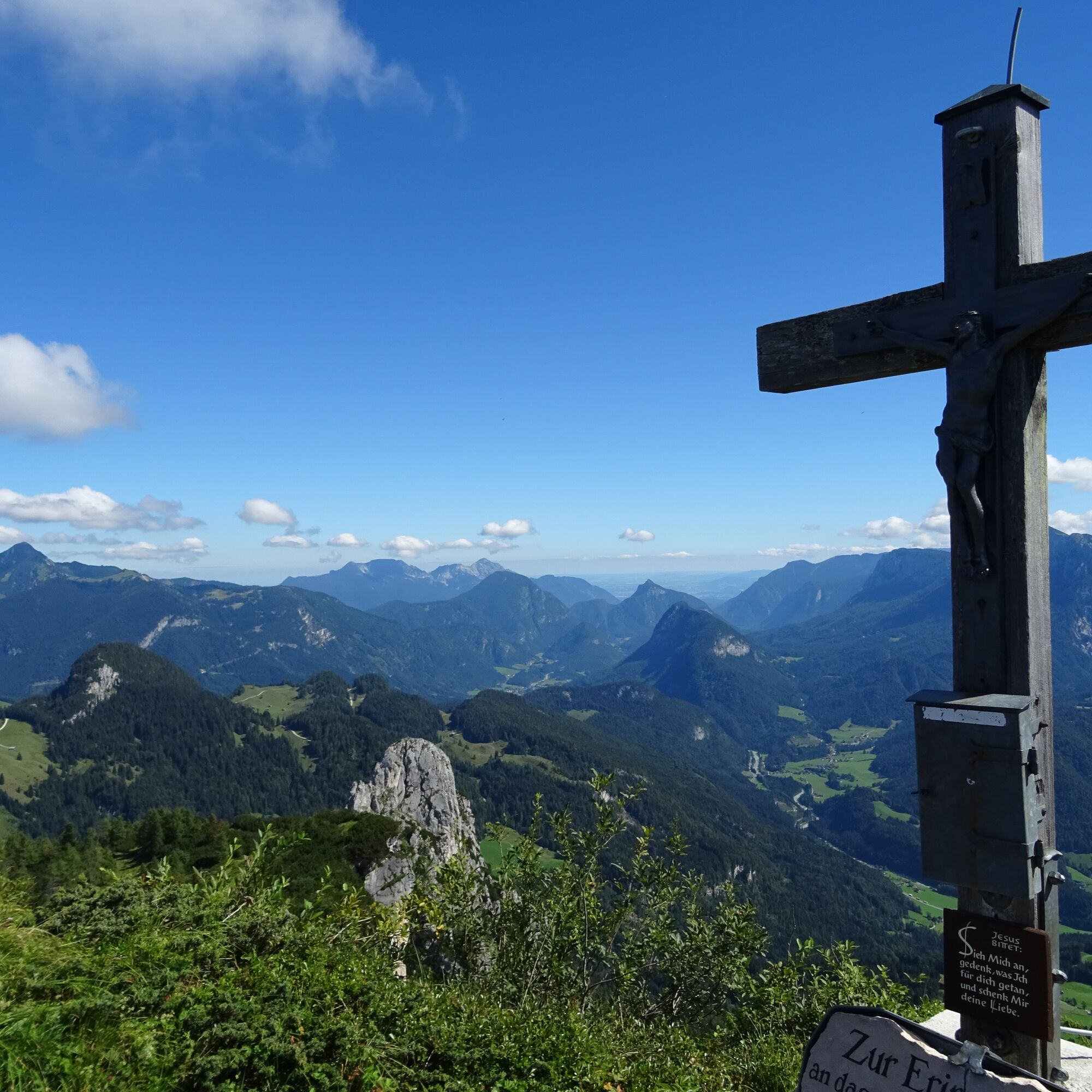
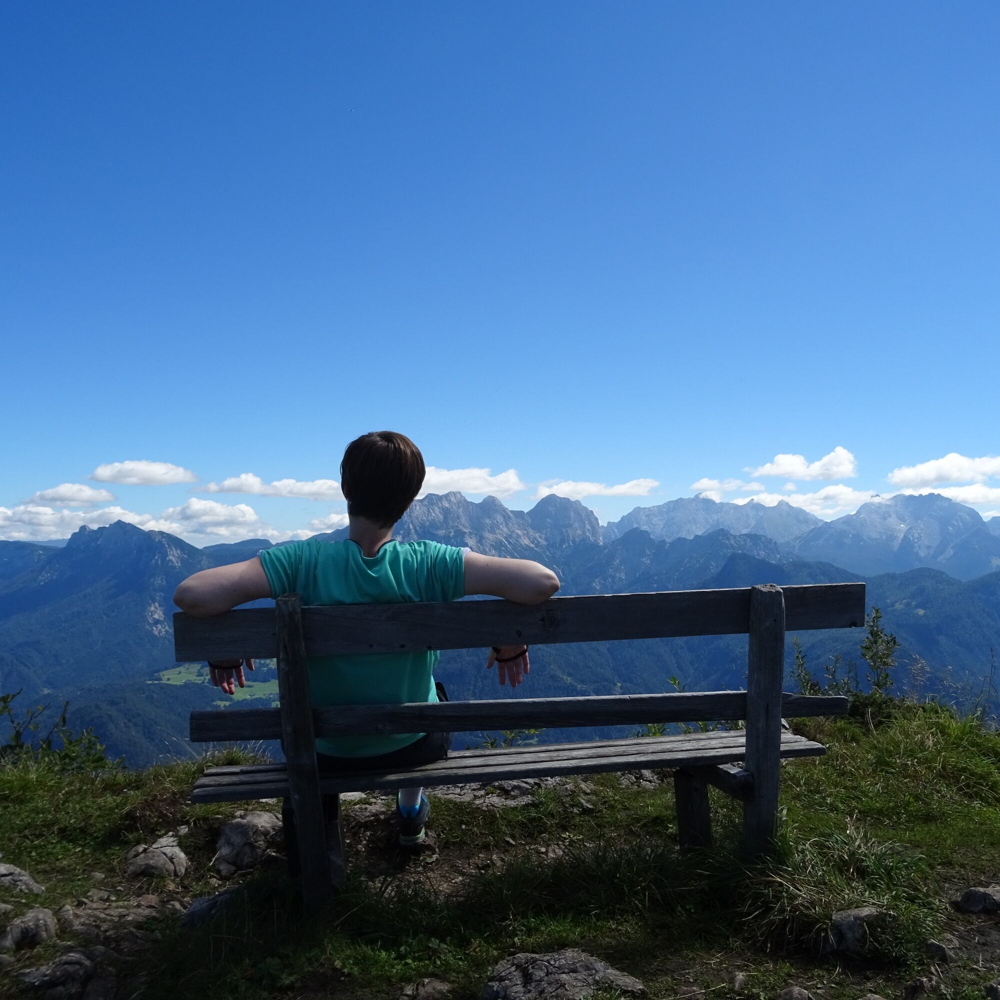
On a narrow and rocky mountain path, you cross the Jochinghöhe and the Lachfeldschneid and thus reach the summit of the Grubhörndl at around 1,747m in the shortest possible time, where you have a beautiful 360° view over the Salzburger Saalachtal.
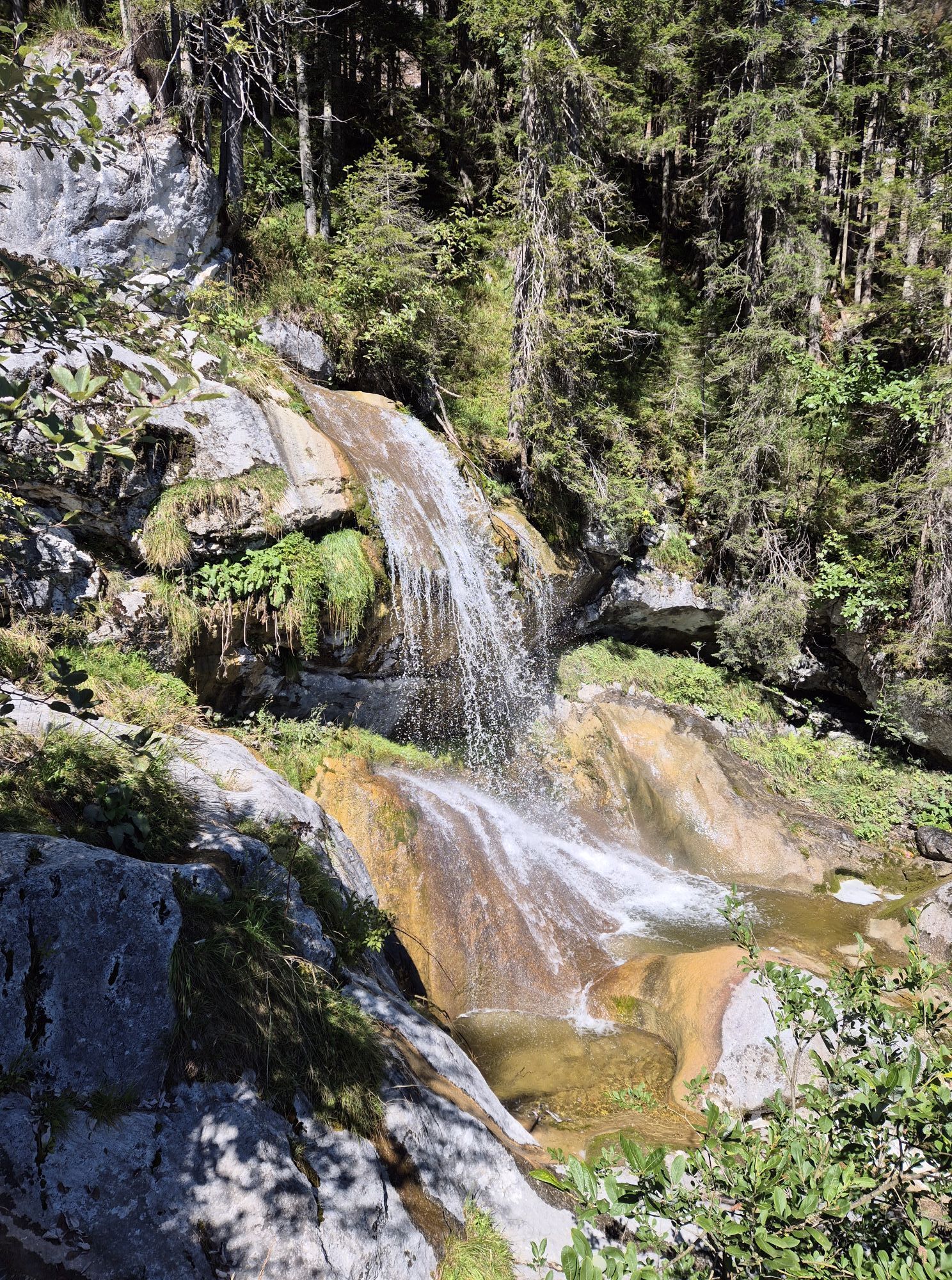
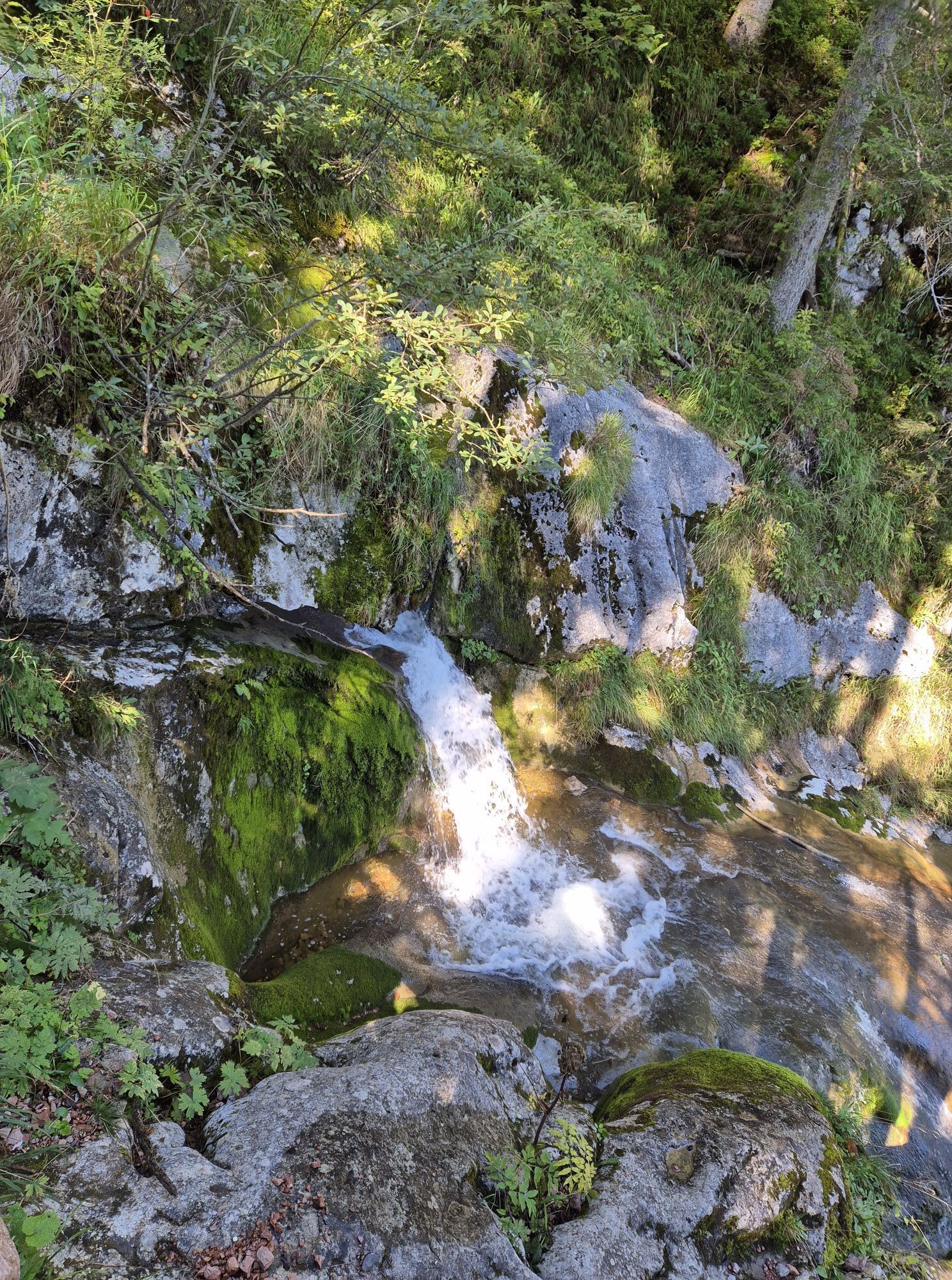
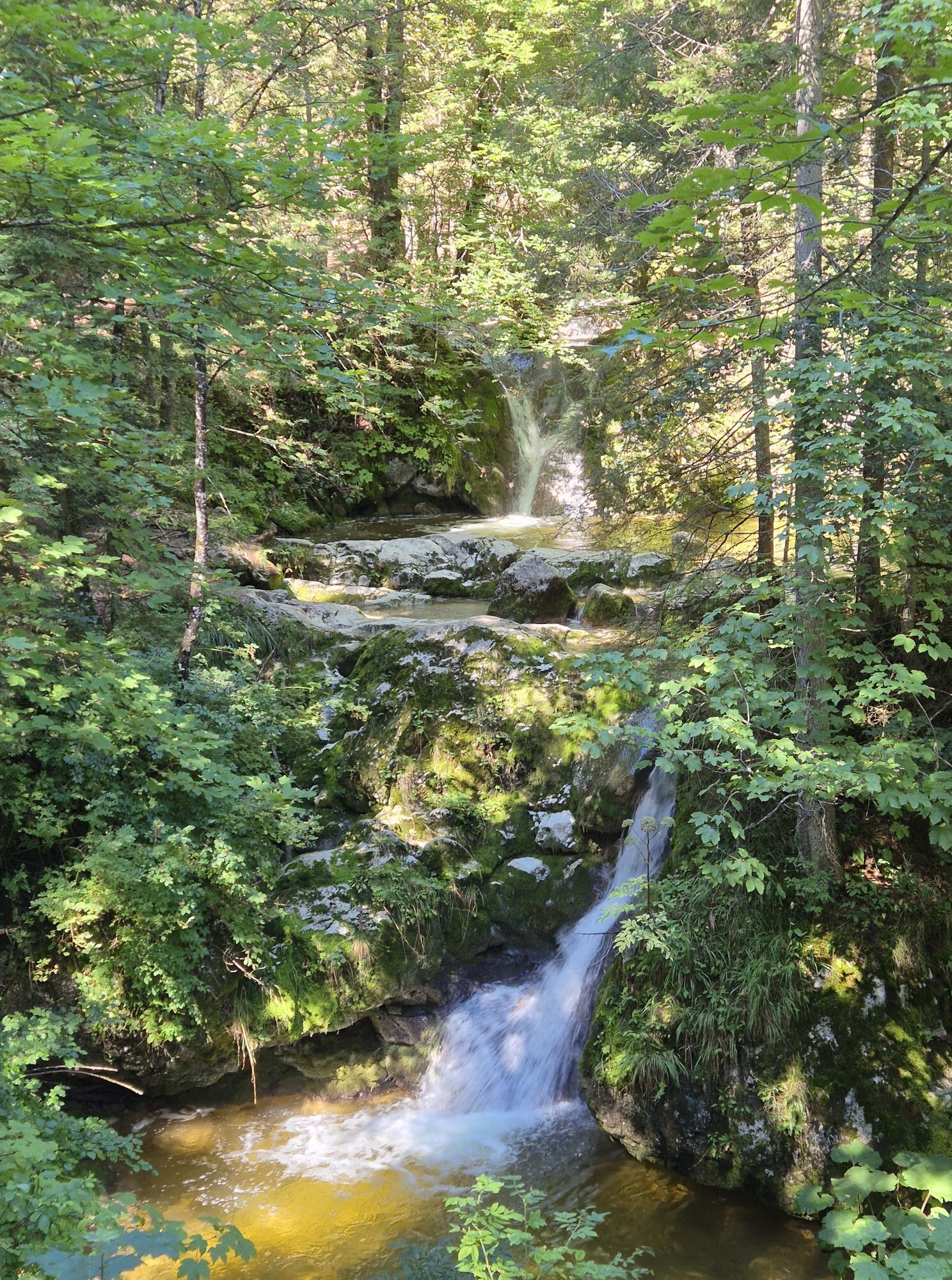
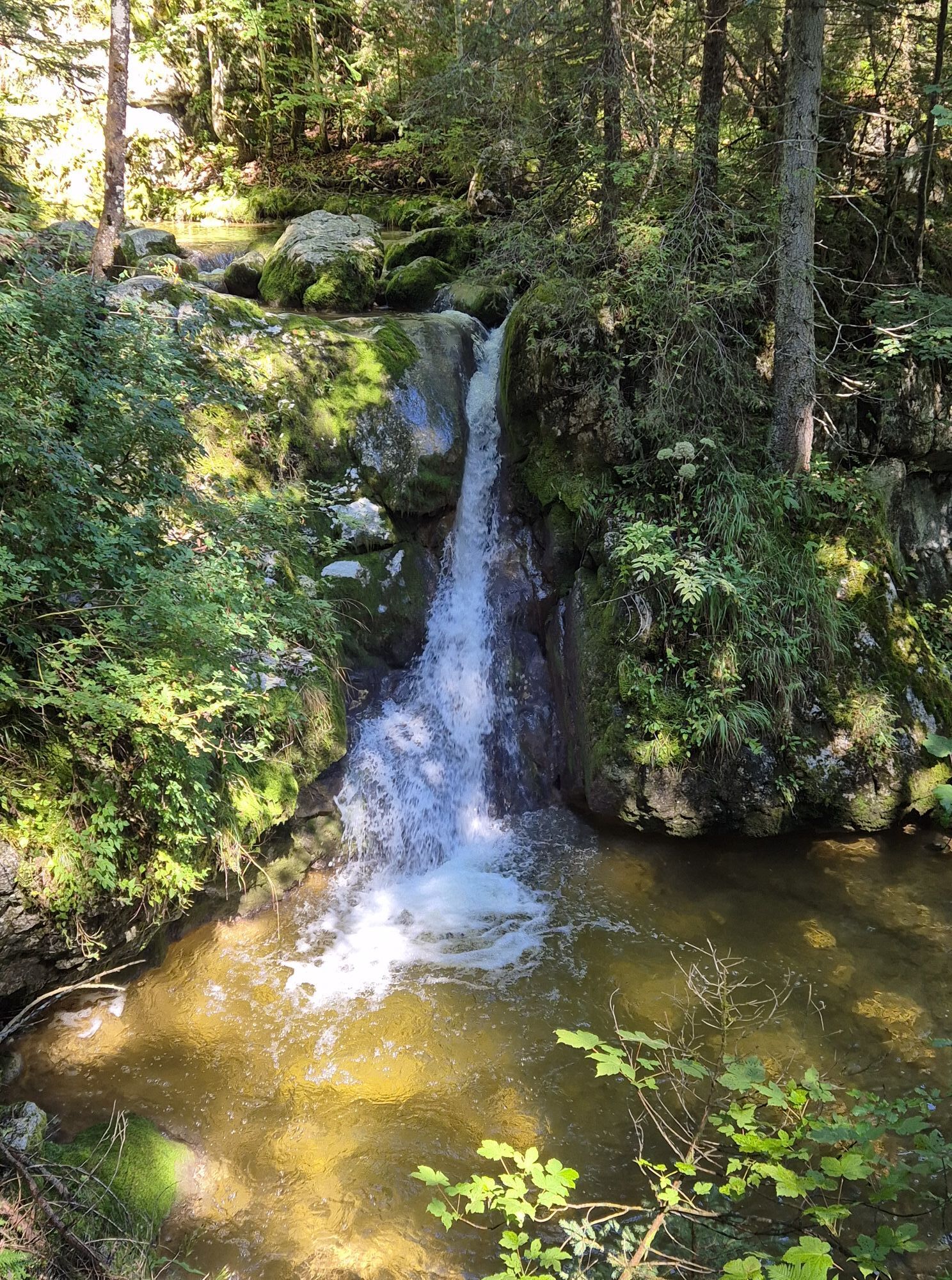
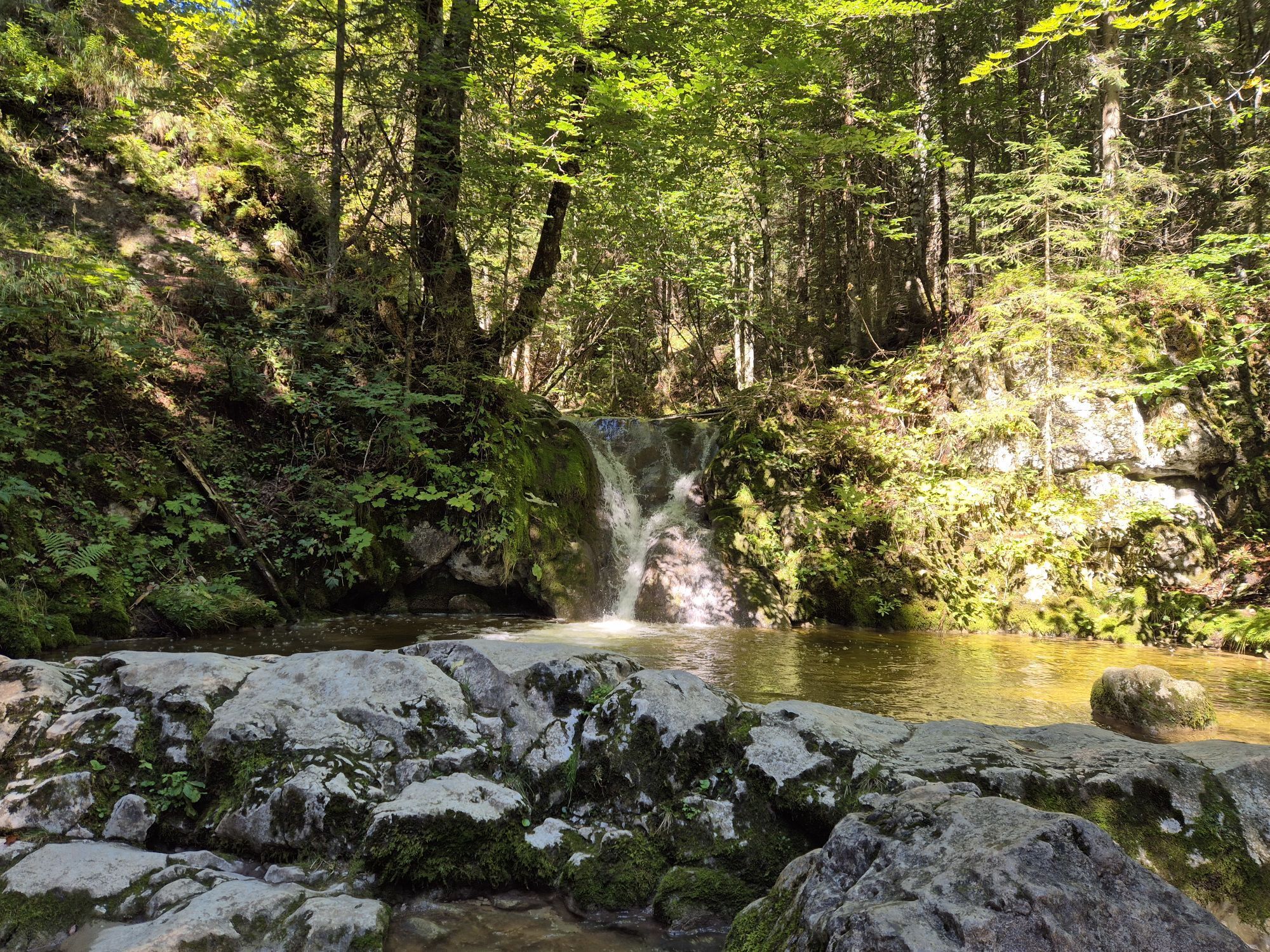
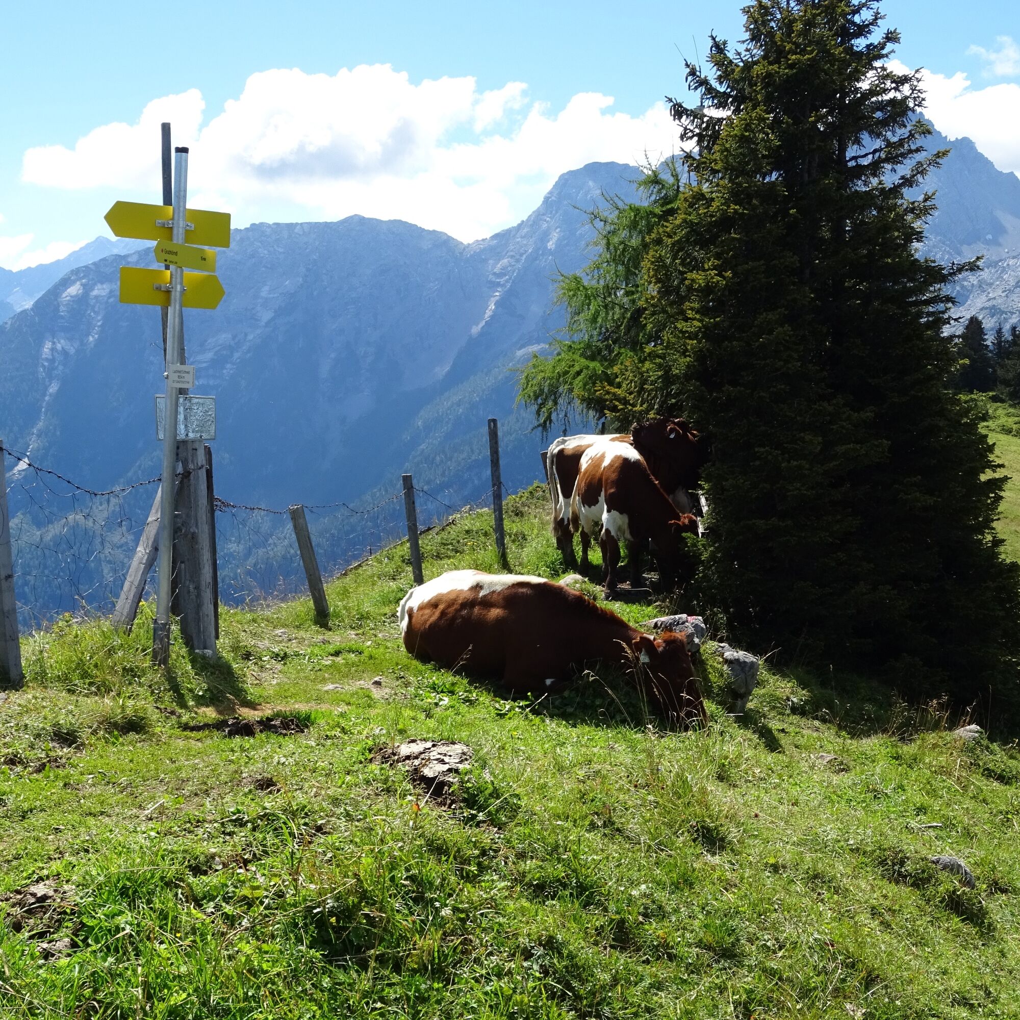
For the return journey, follow the path down the other side of the Grubhörndl into the Almenwelt Lofer, past the summer-closed ski lifts, grazing cows and numerous alpine huts. The restaurants Schönblick and Soderkaser take care of your culinary needs here. From the mountain station of the Loferer Almbahn, follow path number 50 (waterfall path) first to the Bimalm and then down to Loderbichl. (Use of Almbahn II and I for the descent is possible.)
Áno
Áno
Clothing: Comfortable hiking shoes, breathable clothing depending on the weather (T-shirt, light trousers).
Equipment: Small backpack, sunscreen, hat or cap, first aid kit, mobile phone.
Food: Sufficient water, snacks (energy bars, nuts, dried fruit).
Navigation aids: Map or hiking app, compass (optional).
Others: Light pocket knife or multitool, insect repellent (if needed).
As needed: Rain jacket, sunglasses.
Make sure you prepare yourself according to the length of the hike, weather conditions, and your personal comfort.
At one point, you should be free from dizziness and sure-footed.
For smooth arrival at our routes, we offer you comprehensive information and route descriptions. Visit our page Arrival & Mobility for all details.
Use public transport for an environmentally friendly and comfortable journey to our routes. Detailed information about the available means of transport can be found on our page Arrival & Mobility.
Parking is available directly at the Almbahn as well as in the large car park at the Salzburger Saalachtal Tourism Association.
The panorama board at the summit of the Grubhörndl provides information about the surrounding mountains.

 Získajte prehľad
Vždy naživo na mieste s viac ako 9 500 webovými kamerami. bergfex Ako používateľ Pro si teraz môžete pozrieť príslušné webové kamery pre mnohé zájazdy v aplikácii zájazdy z. Môžete si tak priamo prezerať aktuálne podmienky.
Získajte prehľad
Vždy naživo na mieste s viac ako 9 500 webovými kamerami. bergfex Ako používateľ Pro si teraz môžete pozrieť príslušné webové kamery pre mnohé zájazdy v aplikácii zájazdy z. Môžete si tak priamo prezerať aktuálne podmienky.
Obľúbené výlety v okolí
-
4,2
Erpfendorf: Griesbachklamm
strednáTuristika 10 km -
4,3
Halsalm
Turistika 6,43 km -
4,8
Atemberaubende Aussicht auf dem Dürrnbachhorn
strednáTuristika 8,44 km -
4,7
Loferer Steinberge, zum Hinterhorn über die Schmid-Zabierow Hütte, 19.06.22
ťažkéTuristika 14,0 km -
4,5
Seisenberg Gorge
svetloTuristika 2,41 km -
4,7
Over the waterfall trail into the Almenwelt Lofer
strednáTuristika 3,29 km -
4,6
Unternberg
svetloTuristika 9,20 km -
4,5
Rundweg vom Hintersee zur Halsalm
strednáTuristika 9,53 km -
4,4
unternberg Ruhpolding, Bayern
strednáZimná turistika 3,82 km -
3,4
From Heutal to Sonntagshorn in the Salzburger Saalachtal
strednáTuristika 11,7 km
Turistika a stopovanie


Nenechajte si ujsť ponuky a inšpiráciu na ďalšiu dovolenku
Vaša e-mailová adresa bol pridaný do poštového zoznamu.





