






Mittersill: Winter hiking Resterhöhe
Úroveň náročnosti: 2
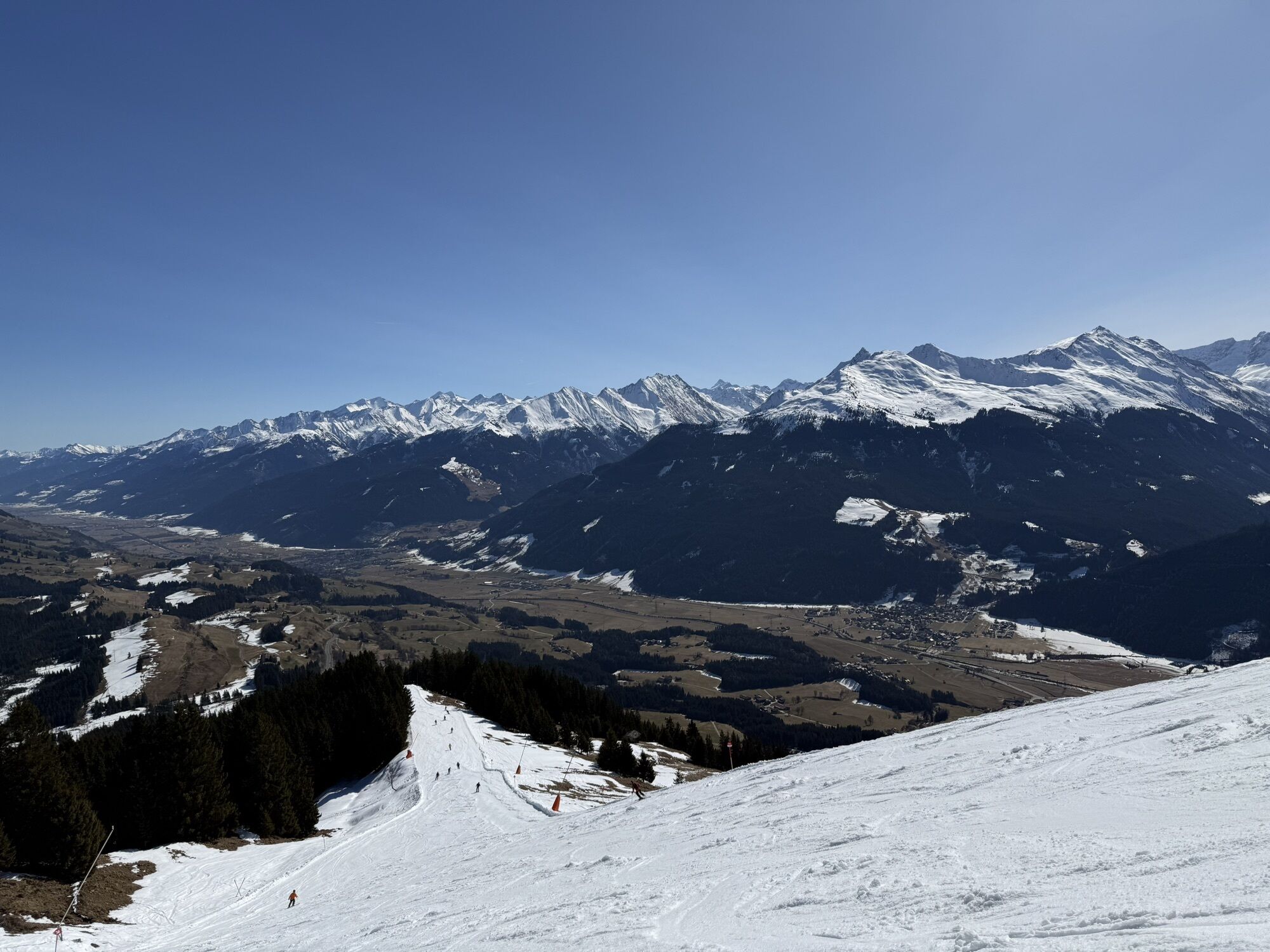
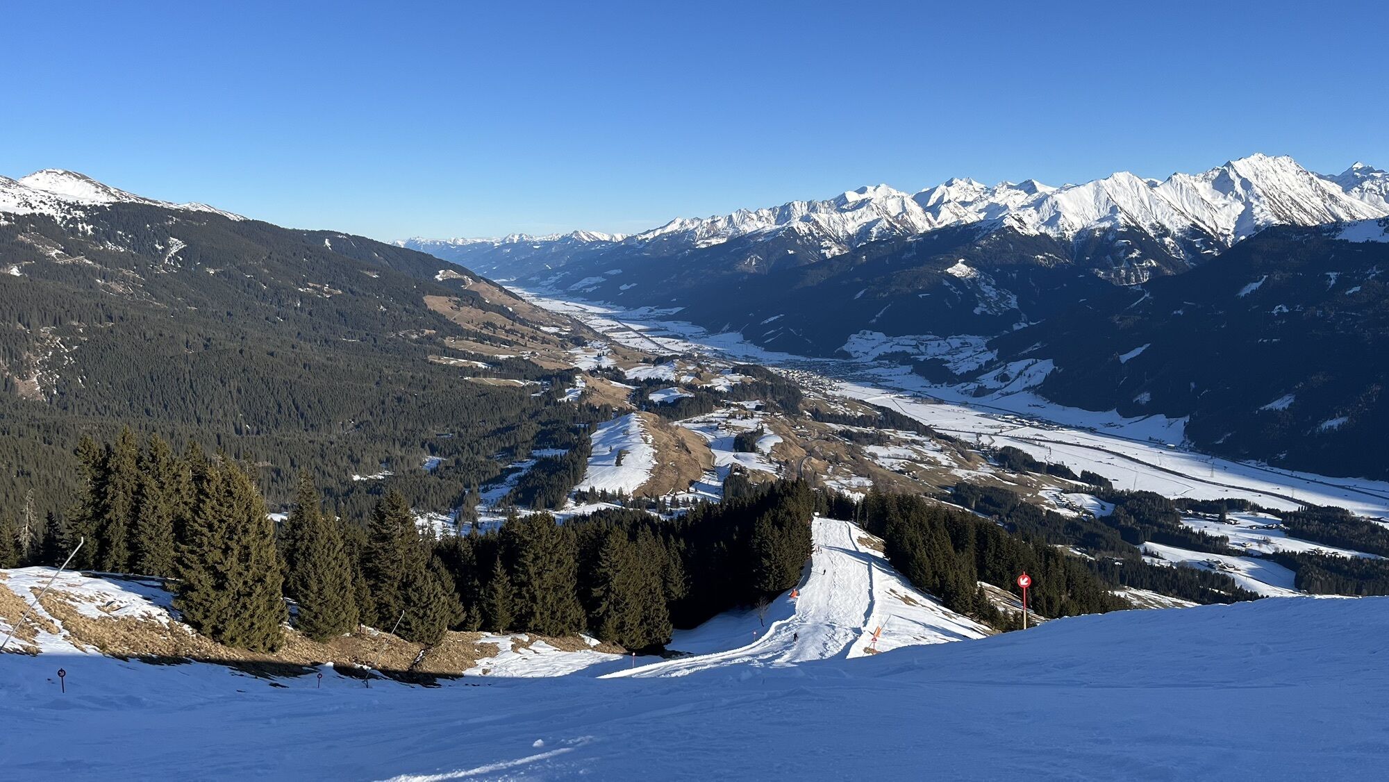
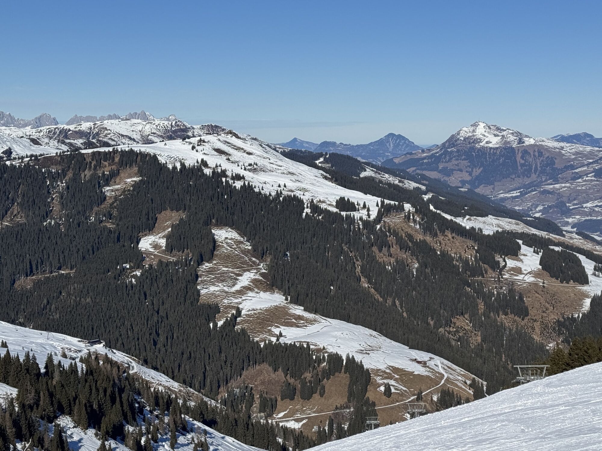
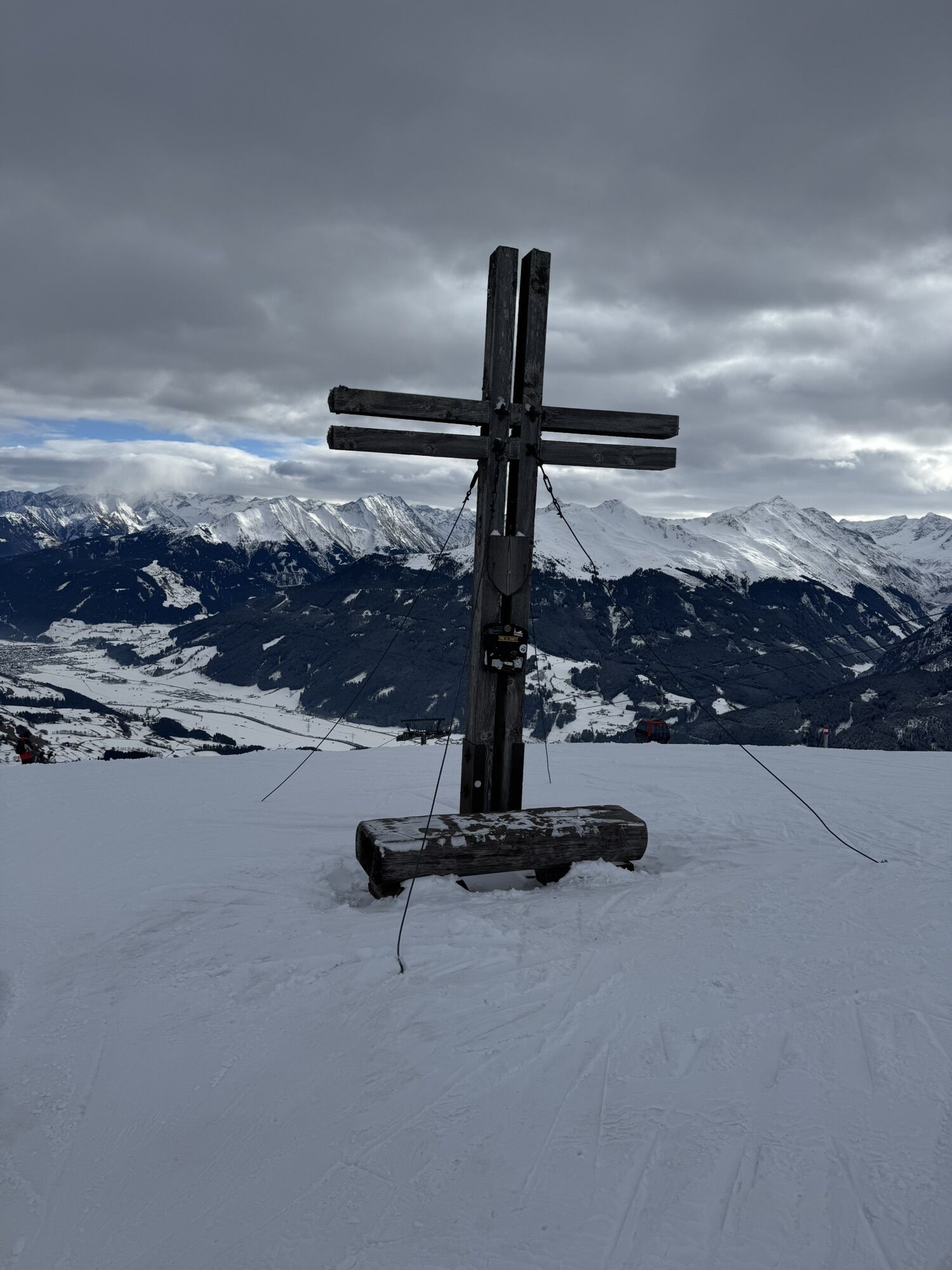
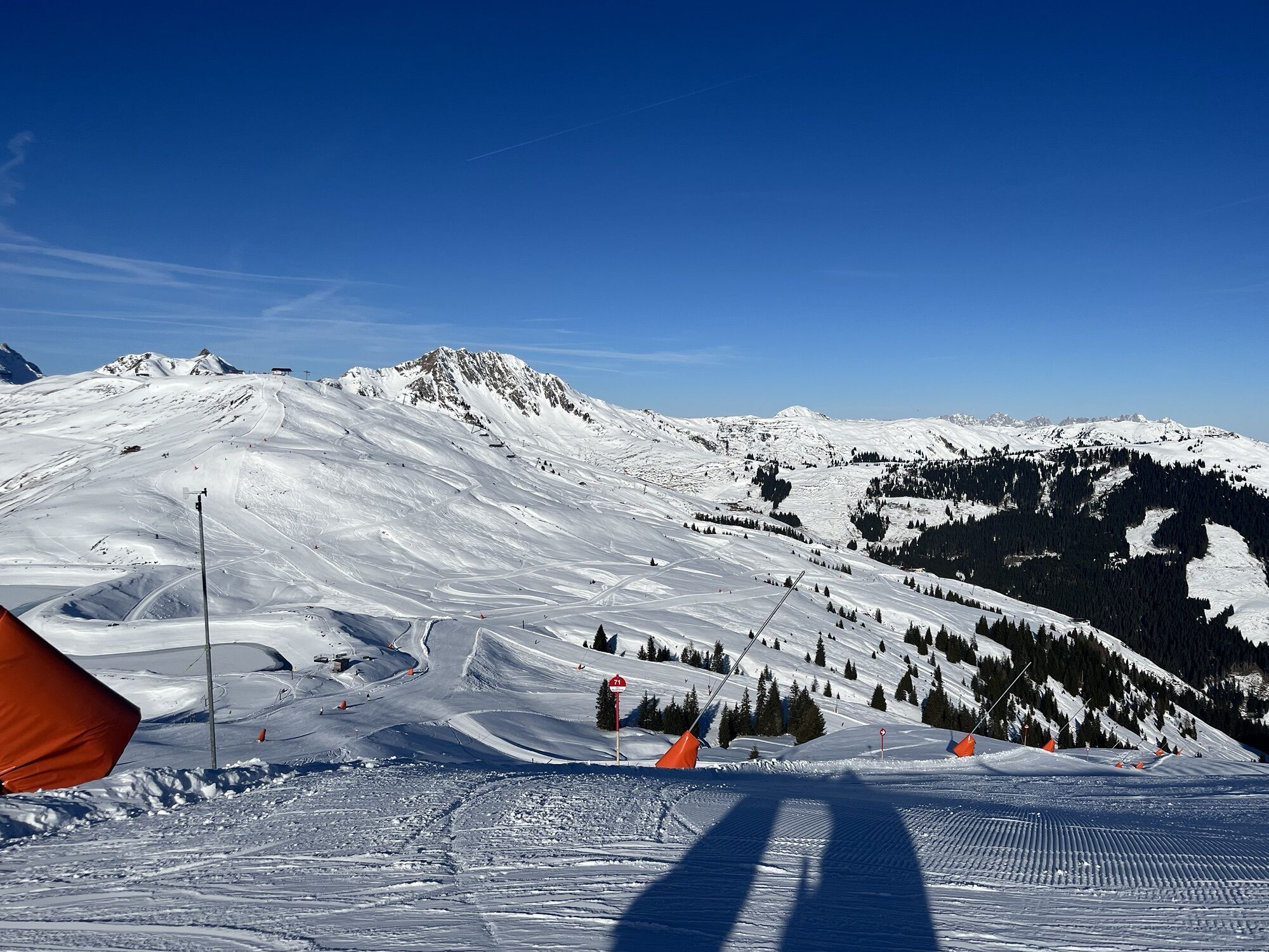
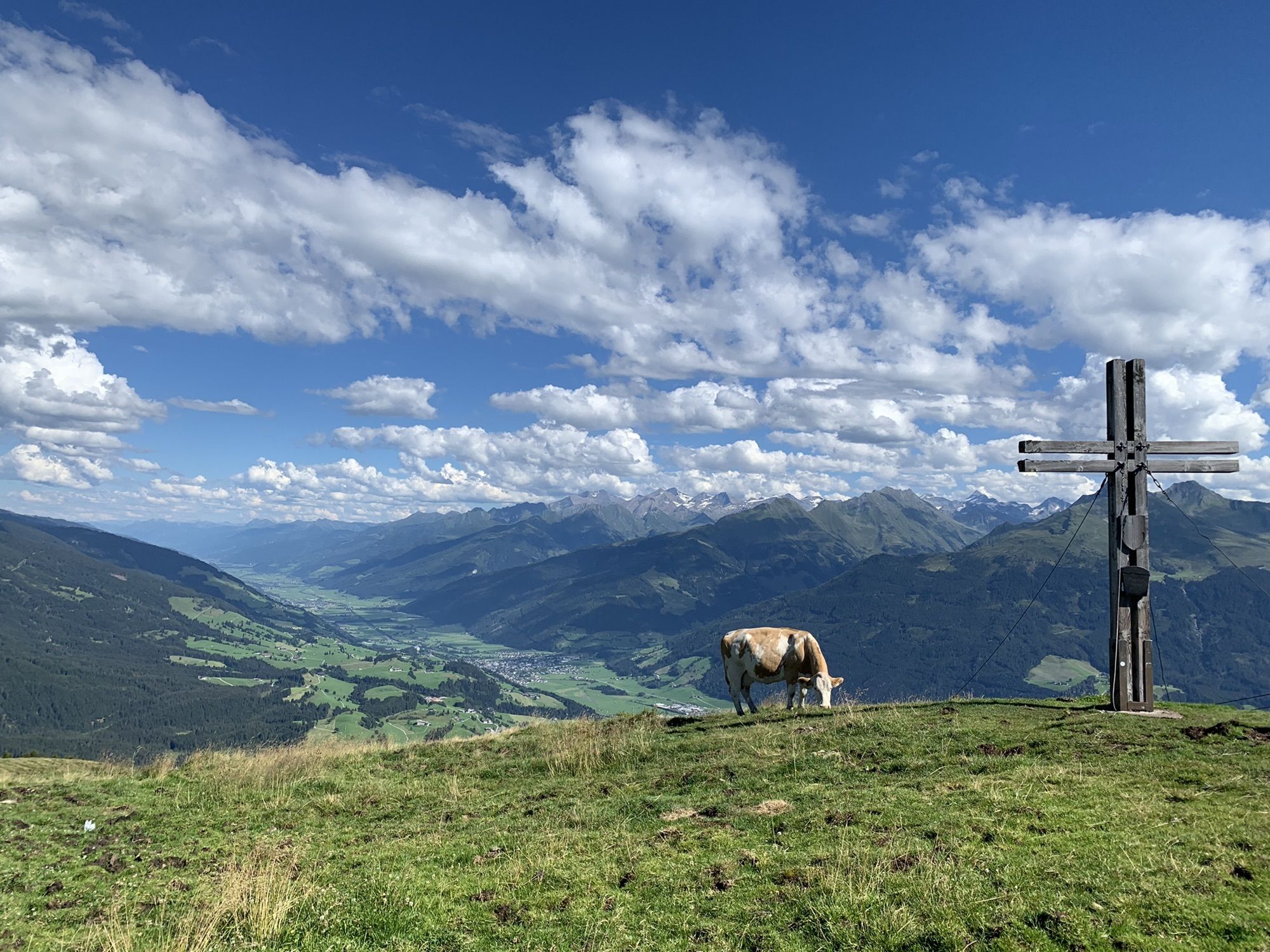
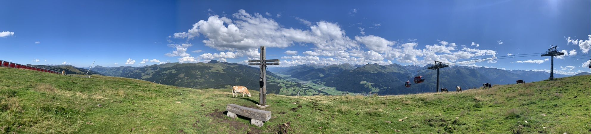
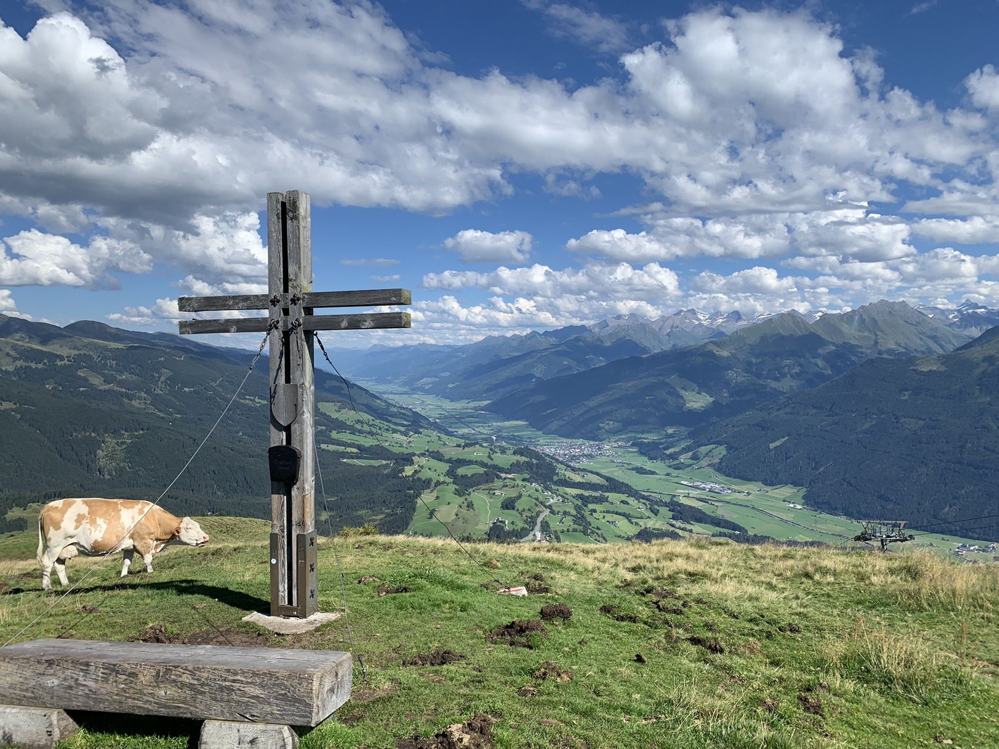
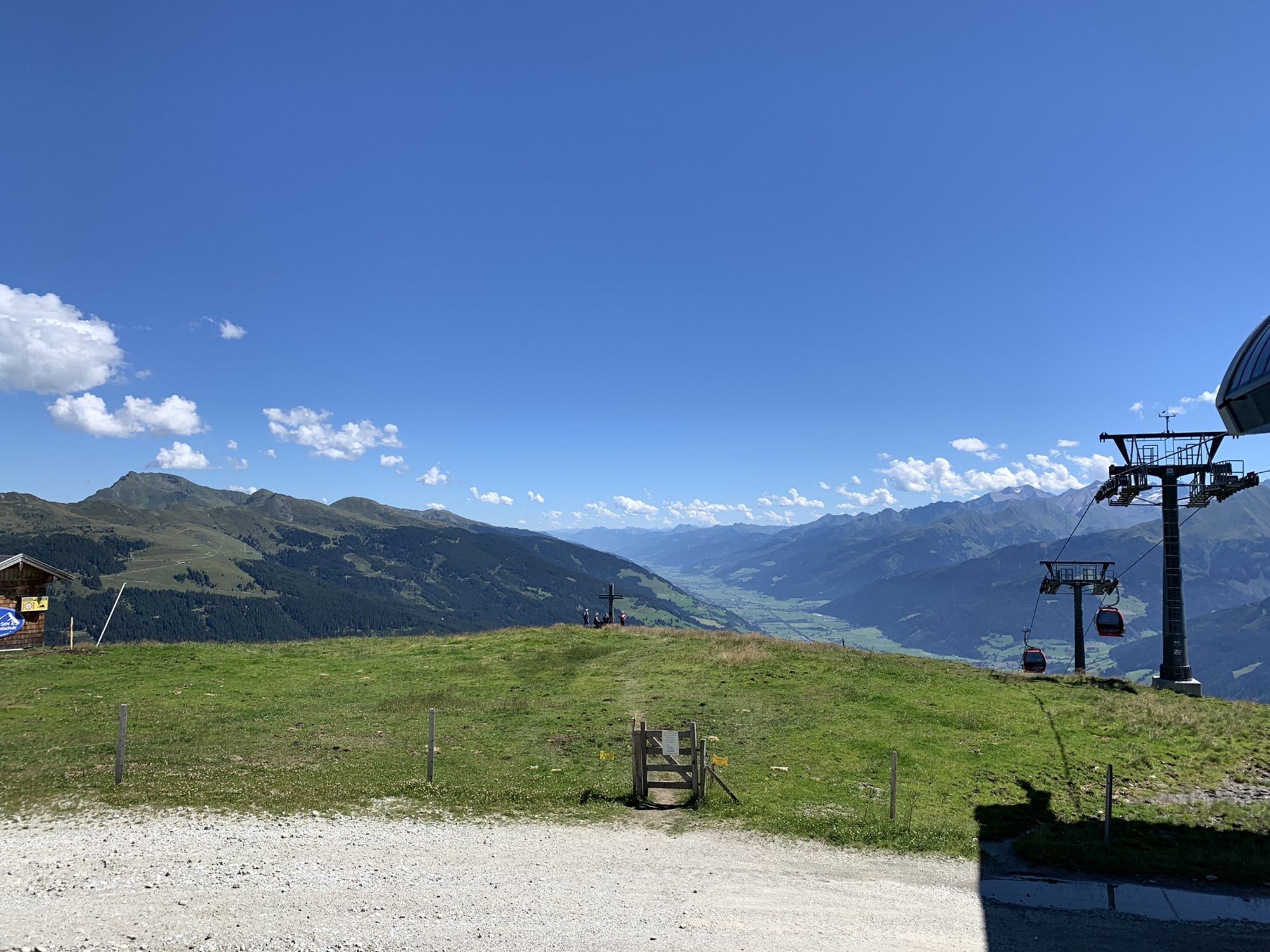
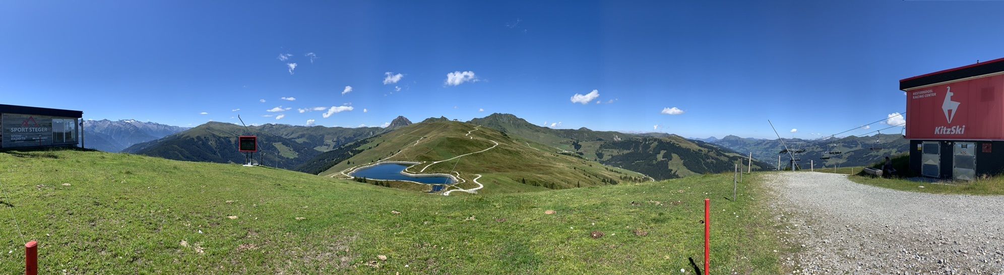
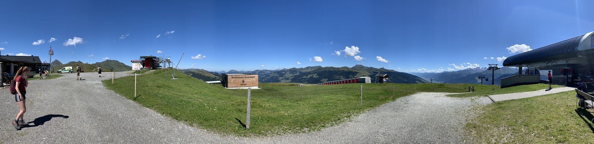
The winter hiking route leads from the mountain station of the Panoramabahn Kitzbüheler Alpen in a large arc through the beautiful landscape of the Resterhöhe ski area and back to the mountain station....
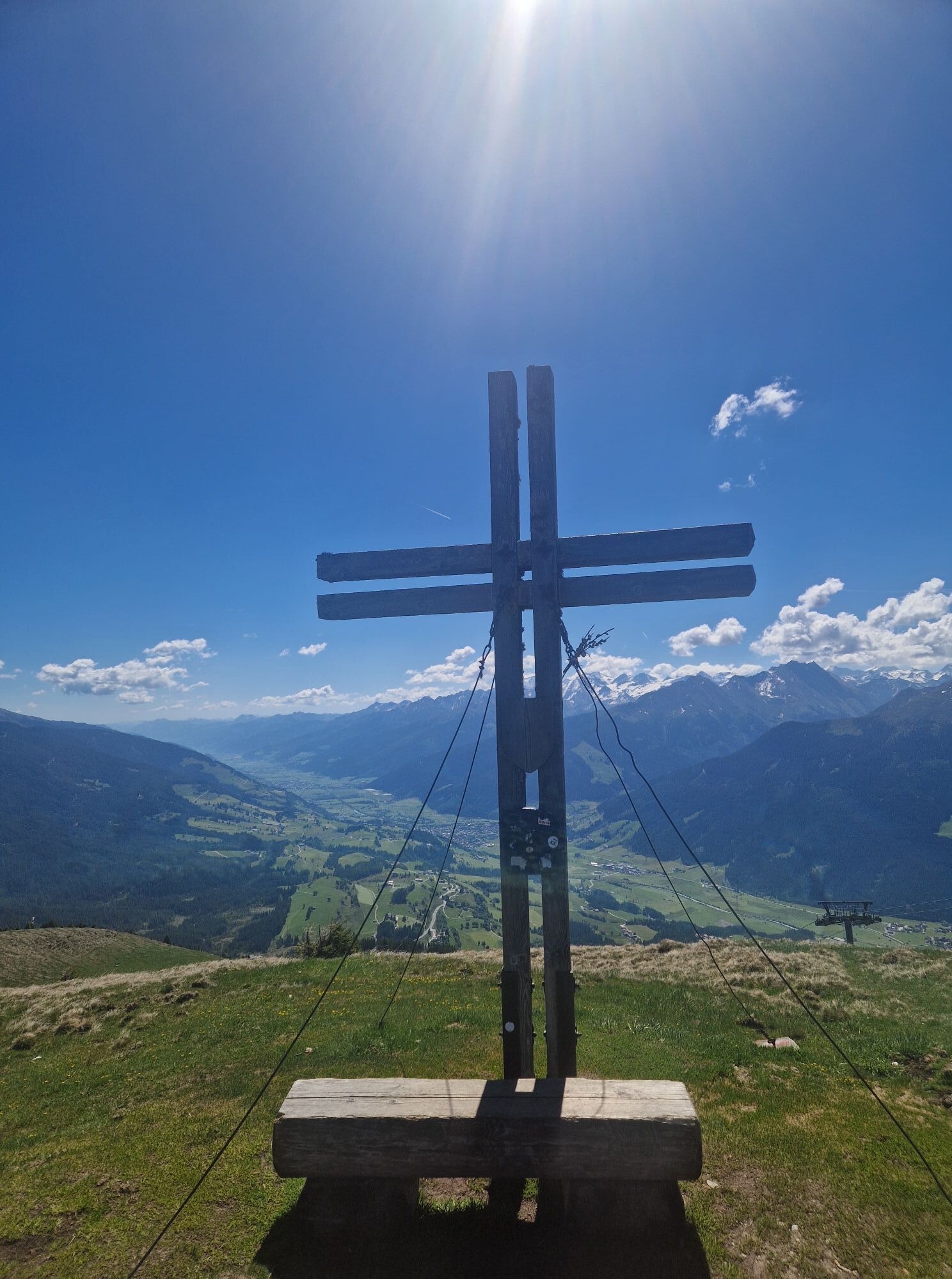
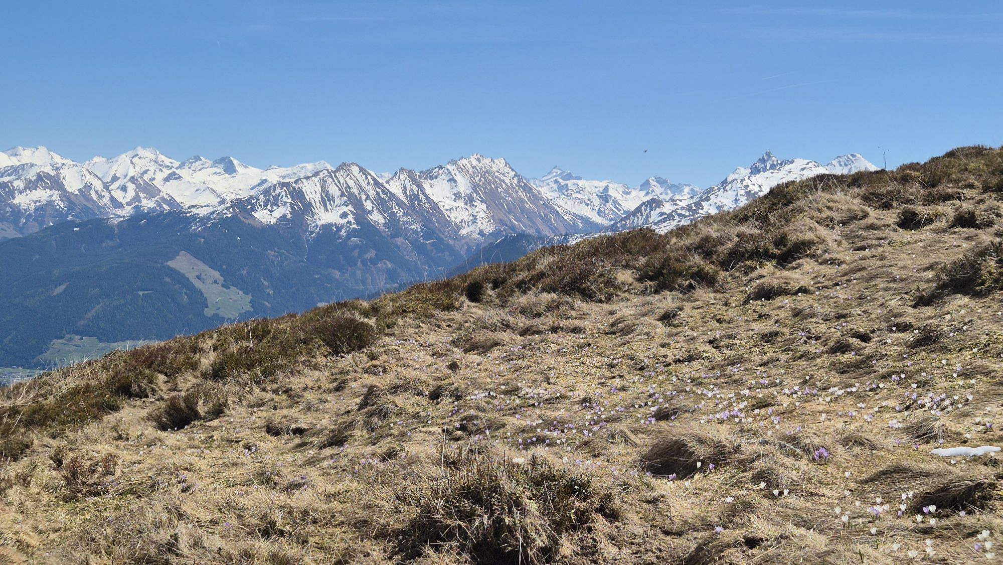
The winter hiking route leads from the mountain station of the Panoramabahn Kitzbüheler Alpen in a large arc through the beautiful landscape of the Resterhöhe ski area and back to the mountain station. Not only the beautiful view of the Kitzbüheler Alpen ski area but also the nature of the Hohe Tauern National Park offer a great winter experience.

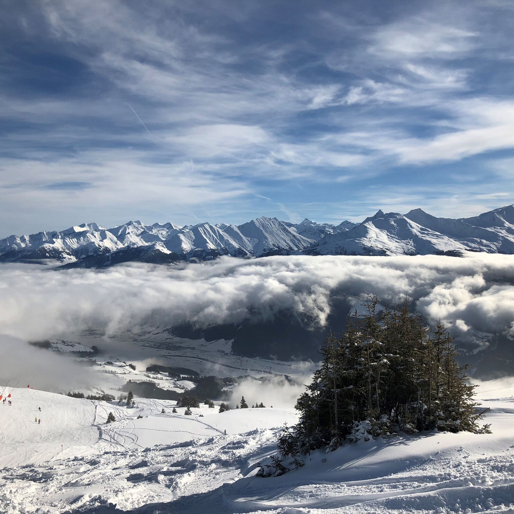
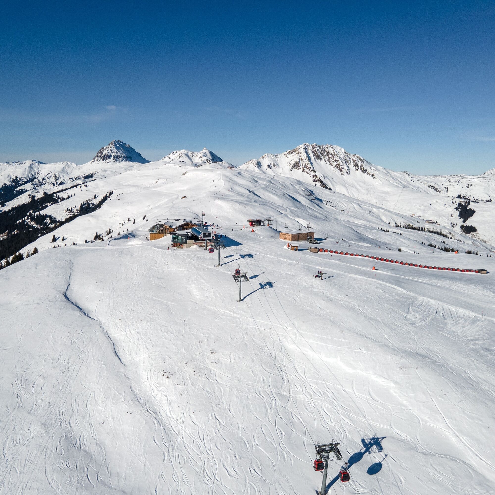
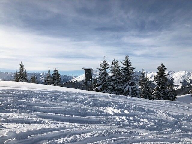

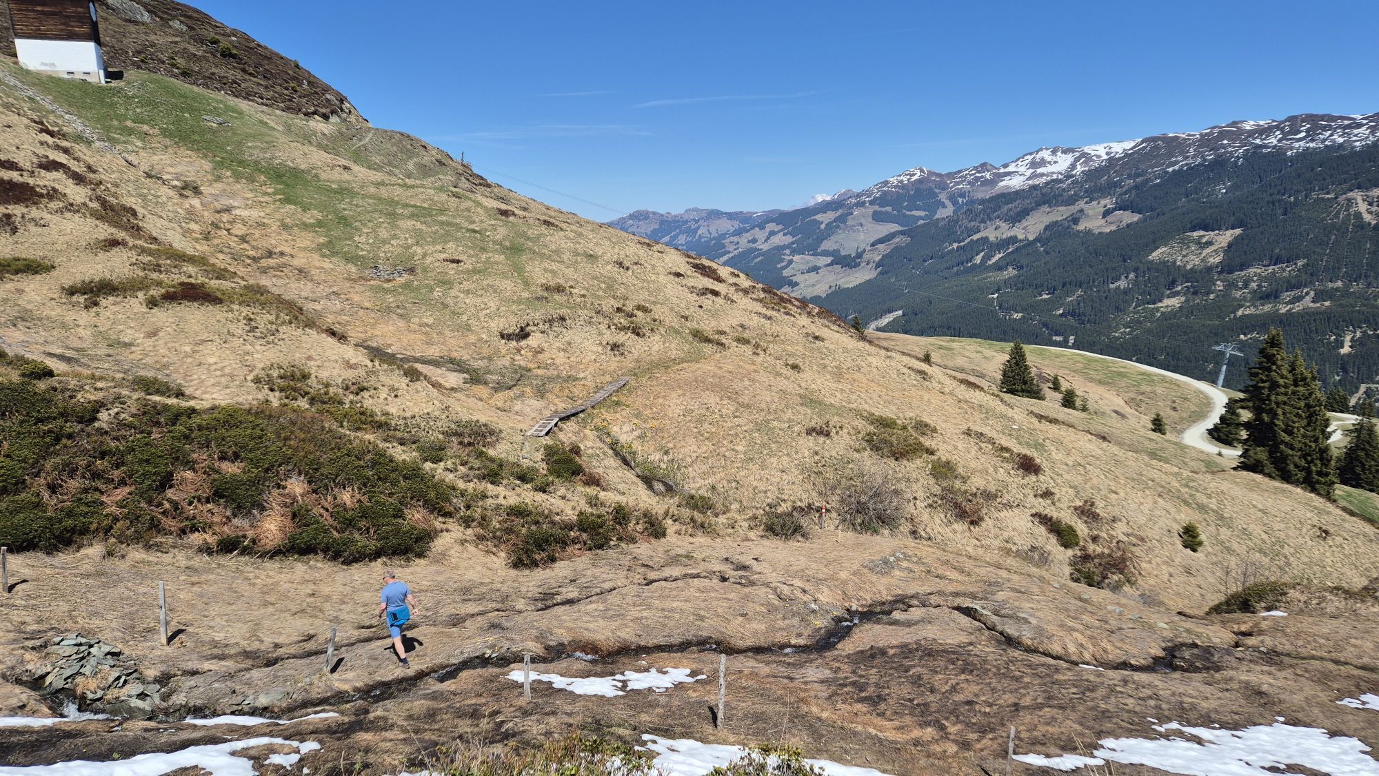
After riding up with the gondola, get off and walk to the right next to the conveyor belt. There, the groomed winter hiking trail begins. Now follow the groomed path and the blue signs.
Áno
Áno
Warm clothing, gloves, hat, sturdy water-repellent footwear, possibly poles for support, and maybe a warm drink or a small snack.
Follow the groomed winter hiking trail and do not leave the path.
Starting from Mittersill, follow Pass Thurn Road 161 towards Kitzbühel. After a few minutes, you will pass Mittersill Castle. Curvy sections follow. At the sharp right turn, the middle station of the Panoramabahn Kitzbüheler Alpen (Breitmoos 46, 5730 Mittersill) is located on the left side.
By the Pinzgauer Lokalbahn (summer 2022: rail replacement service!) or regional bus 670 to Hollersbach (valley station Panoramabahn Kitzbüheler Alpen) or Mittersill. From there take bus line 4010 towards Kitzbühel (middle station Panoramabahn Kitzbüheler Alpen)
Bus schedule: https://www.kitzski.at/de/skigebiet-tirol/info/busfahrplaene.html
Parking is available directly at the middle station at the free parking lot.
2
Gondola costs from the middle station:
Adults: €16.80
Youth: €12.60
Children: €8.40
More prices and much more: https://www.panoramabahn.at/de/unsere-preise.html
Mittersill Plus GmbH, Zeller Straße 2, 5730 Mittersill, Tel. +43(0) 6562 4292
After the walk, it is recommended to enjoy some culinary treats at Pinzgablick (hut next to the mountain station) before heading back down to the valley.
Získajte prehľad
Vždy naživo na mieste s viac ako 9 500 webovými kamerami. bergfex Ako používateľ Pro si teraz môžete pozrieť príslušné webové kamery pre mnohé zájazdy v aplikácii zájazdy z. Môžete si tak priamo prezerať aktuálne podmienky.
Obľúbené výlety v okolí
-
3,7
Smaragdwanderweg Habachtal/Bramberg
svetloTuristika 7,17 km -
4,9
Streif Wanderweg
strednáTuristika 5,73 km -
4,5
Route 208: Windautal - Rotwandalm/Filzenscharte
ťažkéMountainbike 22,8 km -
4,8
Hollersbach - Neue Fürther Hütte
Turistika 16,0 km -
4,7
Tristkogel
ťažkéTuristika 15,6 km -
4,5
Kröndlhorn (2.444m)
ťažkéTuristika 13,5 km -
4,7
Frühmesser
strednáTuristika 10,6 km -
3,8
Brechhorngipfel (2.037m)
strednáTuristika 11,7 km -
3,9
Hollersbach: Pihapper Wegnr. 935
ťažkéTuristika 12,8 km -
4,1
Habachtal bis zur Thüringer Hütte
Turistika 6,53 km
Turistika a stopovanie


Nenechajte si ujsť ponuky a inšpiráciu na ďalšiu dovolenku
Vaša e-mailová adresa bol pridaný do poštového zoznamu.





