


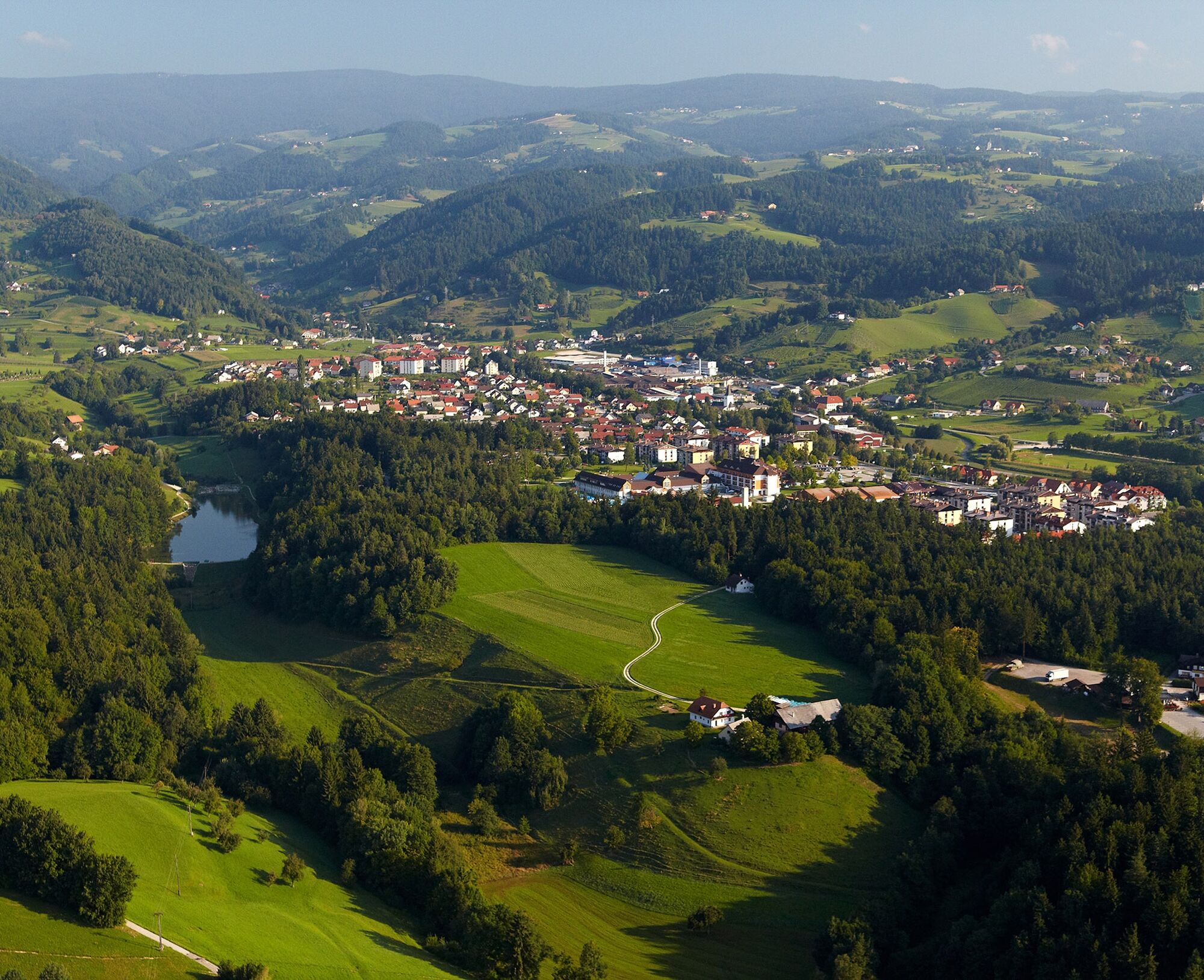
From Terme Zreče to Rogla
Rogla – the Pohorje Hills attracts with extensive forests, peat bog and lakes. Trails connect Rogla with ski slopes and Zreče with its thermal water with interesting villages. Rogla is also known as a...
Rogla – the Pohorje Hills attracts with extensive forests, peat bog and lakes. Trails connect Rogla with ski slopes and ZreÄe with its thermal water with interesting villages. Rogla is also known as a popular place for athlets during their training, since it offers good climate and modern and extensive training facilities with the so called "high alttitude" room.
This 26 km (with return) long trip from hotel Dobrava in Terme ZreÄe to Rogla. The trail is quite demanding, but well worth the effort. It passes Church of Saint Egidius in ZreÄe, Smogavc Inn in Gorenje above ZreÄe, Jurgovo Hut and finishes at Planja Hotel on Rogla. The trail takes about 3h one way.
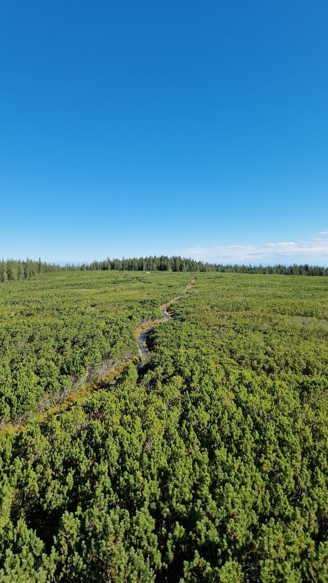
When on top of Rogla, it is well worth to prolong the hike for additional 2-3h in order to visit the Lovrenc Lakes. This lakes consits of 19 small bog pools, connected by a circular route with wooden footbridges and a wooden viewing tower. The bog is the habitat of rare plants and animals.

Dobrava Hotel, Črešnova, Gorenje above Zreče, Planina on Pohorje, Jurgovo Hut, Rogla
Normal hiking equipment.
No special safety issues on the trail as long as you mind the longevity of the hike (water and food) and you don't have problems with a bit steeper trail.
By car from Ljubljana - Maribor highway, turn off at Slovenske Konjice and continue through them towards Zreče.
There are regular bus connections between Ljubljana and Zreče.
Payable parking at Terme Zreče (sometimes payable)
Since the start of the trail is at thermal resort, it would not be wrong to visit them. You can also turn this tour into two day trip, staying on Rogla.
Visit to Lovrenc lakes is almost compulsary when in the region. You can also choose easier trails or other transport.
Obľúbené výlety v okolí
-
4,6
Rogla - Lovrenska Jezera Rundtour
strednáTuristika 12,2 km -
Pohorje Cycling Route (PT)
ťažkéMountainbike 73,6 km -
Über Pohorje-Gebirge nach Koroška
strednádiaľková pešia trasa 68,6 km -
4,0
Rogla s Krznom
strednáLyžovanie 41,5 km -
E-BIKE Black Peak: Rainforest Šumnik
strednáE-MTB 76,4 km -
E-BIKE Black Peak: Deer run
strednáE-MTB 27,1 km -
5,0
Kope Themed Hiking Path
strednáTuristika 11,8 km -
5,0
E-BIKE Black Peak: Black peak reef
strednáE-MTB 40,7 km -
E-BIKE Black Peak: Singing black grouse
strednáE-MTB 30,6 km -
E-BIKE Black Peak: Ambushed fox
Turistika 29,0 km

Turistika a stopovanie


Nenechajte si ujsť ponuky a inšpiráciu na ďalšiu dovolenku
Vaša e-mailová adresa bol pridaný do poštového zoznamu.