







Snowshoe Tour: Along the Taistner Unterrain
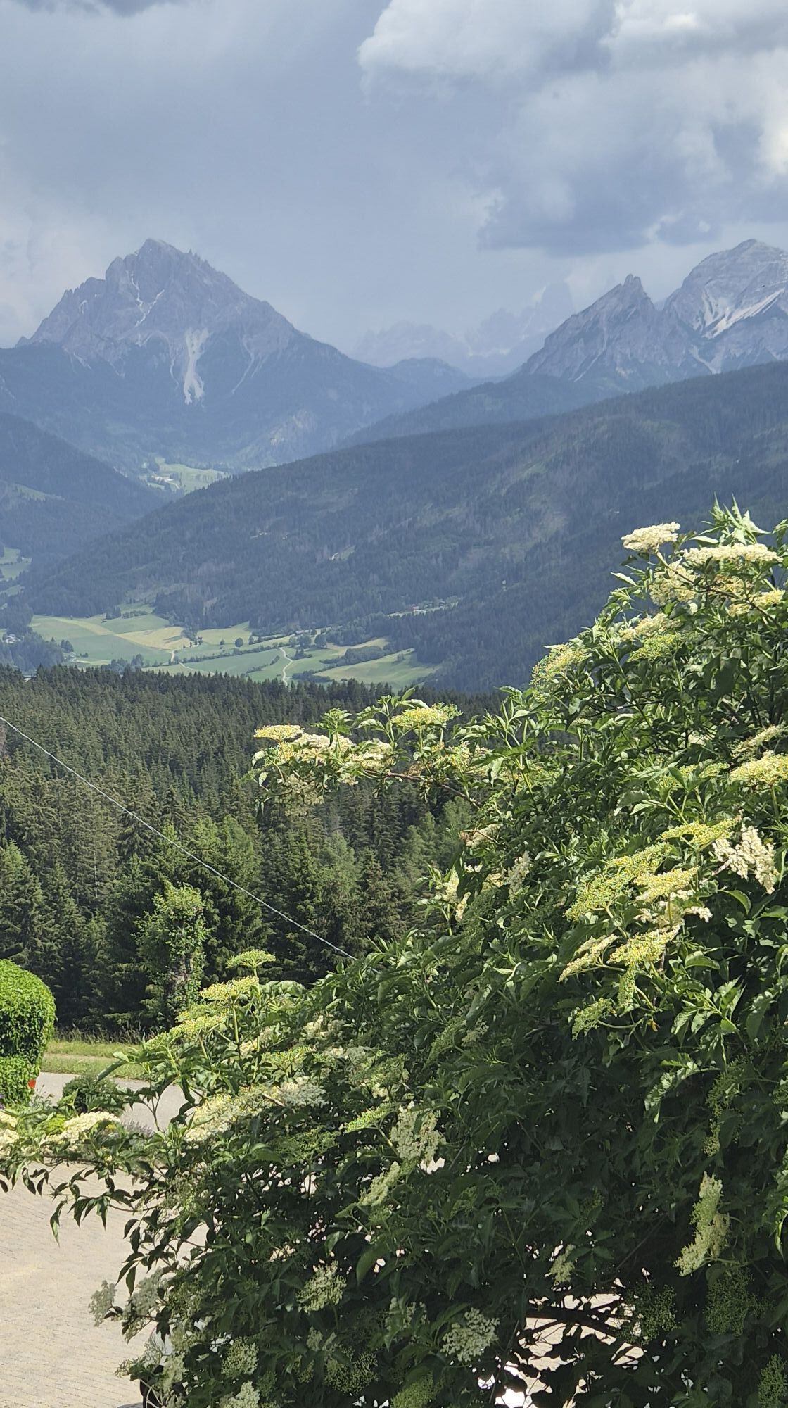
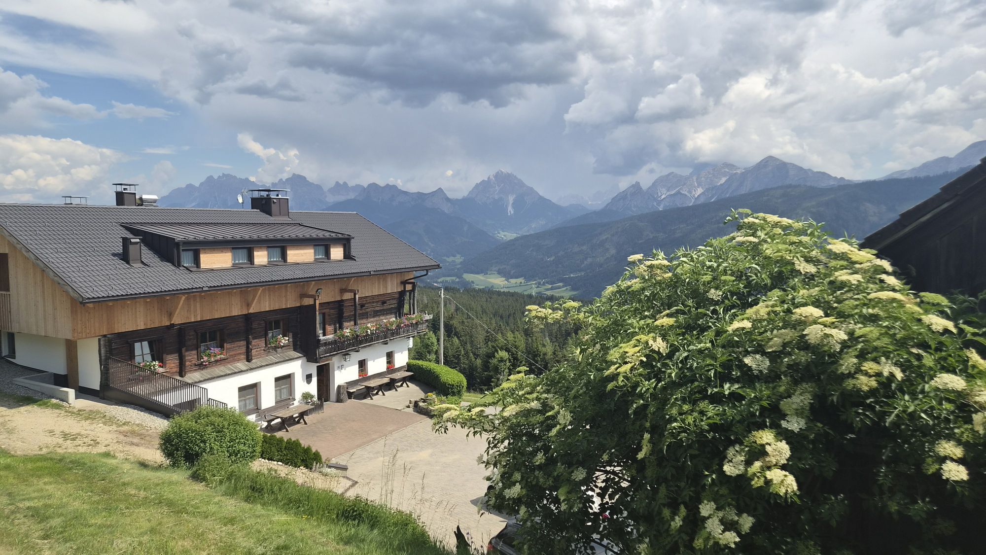
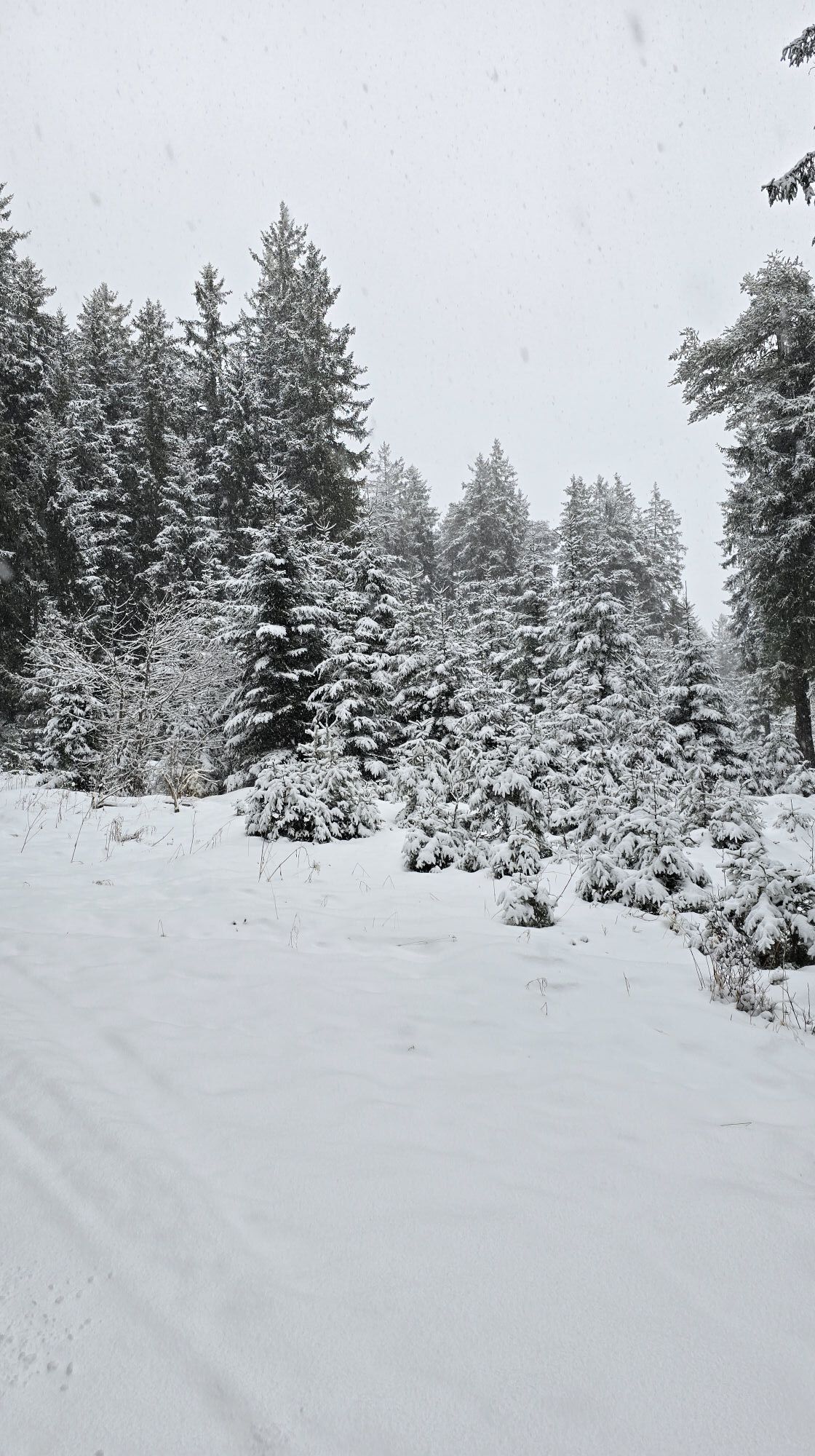
Starting point is the crossroad 100 m after the Hotel Alpen Tesitin located above Taisten (on the way to the mountain restaurant Mudler Hof). From here, follow the Unterrainerstraße (cleared from snow...
Starting point is the crossroad 100 m after the Hotel Alpen Tesitin located above Taisten (on the way to the mountain restaurant Mudler Hof). From here, follow the Unterrainerstraße (cleared from snow in winter and numbered 21) for 3 km all the way to the Feichterhof at 1377 m. Once there, proceed uphill with your snowshoes on; depending on snow conditions either keep to the edge of the forest (trail number 21) or hike through the forest (trail 21 a) all the way to the hidden Kirmlehof at 1577 m. Follow the access road of the farm till it crosses the road leading to the mountain restaurant Mudler Hof (worthwhile rest point); now continue south-eastwards by keeping to the road until the snowshoe signs clearly point to the right and into the forest. Now in south-easterly direction descend the woods and meadows all the way down to the starting point. Please take particular note of the signs in the forest! Alternative route from the crossing at Kirmle/Mudler Hof: continue on road number 31 and through the hamlet Guggenberg and return to the starting point.
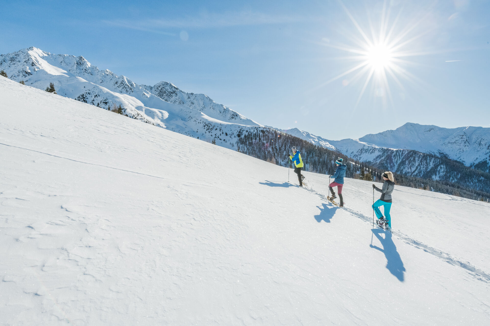

Áno
Áno
3/6
3/6
Získajte prehľad
Vždy naživo na mieste s viac ako 9 500 webovými kamerami. bergfex Ako používateľ Pro si teraz môžete pozrieť príslušné webové kamery pre mnohé zájazdy v aplikácii zájazdy z. Môžete si tak priamo prezerať aktuálne podmienky.
Obľúbené výlety v okolí
-
4,6
Mountain hike to Mountain „Lutterkopf and Durakopf (2145/2275m)“
strednáHorská turistika 11,8 km -
4,8
Antholzer See - Steinzger Alm
strednáTuristika 7,48 km -
4,8
Rund um den Schwarzberg in die Bergwelt vom Pragser Wildsee
strednáTuristika 9,59 km -
4,8
Seerunde
svetloTuristika 2,66 km -
4,7
Rund um den Antholzer See
svetloTuristika 4,27 km -
4,6
Rote Wand
strednáVysoké turné 12,0 km -
4,4
Rundtour Gönneralm und Erdpyramiden
strednáHorská turistika 8,08 km -
4,7
Rund um den Seekofel
ťažkéTuristika 16,6 km -
4,9
Dolomiten - Seekofel 2.810m - Tiefblick zum See
strednáHorská turistika 23,5 km -
4,5
Pragser Wildsee Südtirol
strednáTuristika 15,7 km
Turistika a stopovanie


Nenechajte si ujsť ponuky a inšpiráciu na ďalšiu dovolenku
Vaša e-mailová adresa bol pridaný do poštového zoznamu.





