







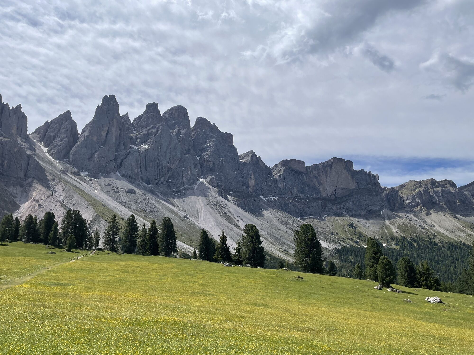
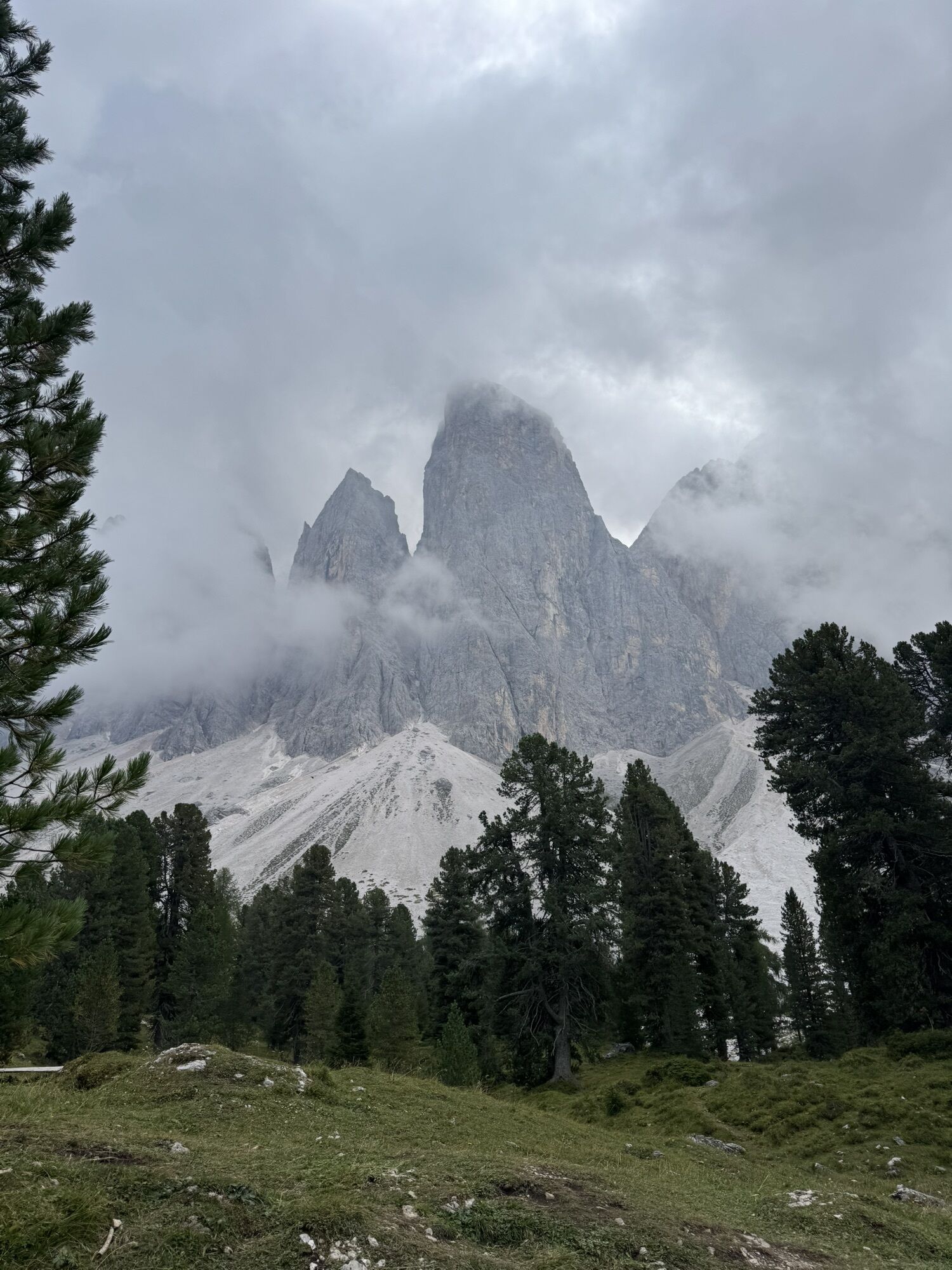
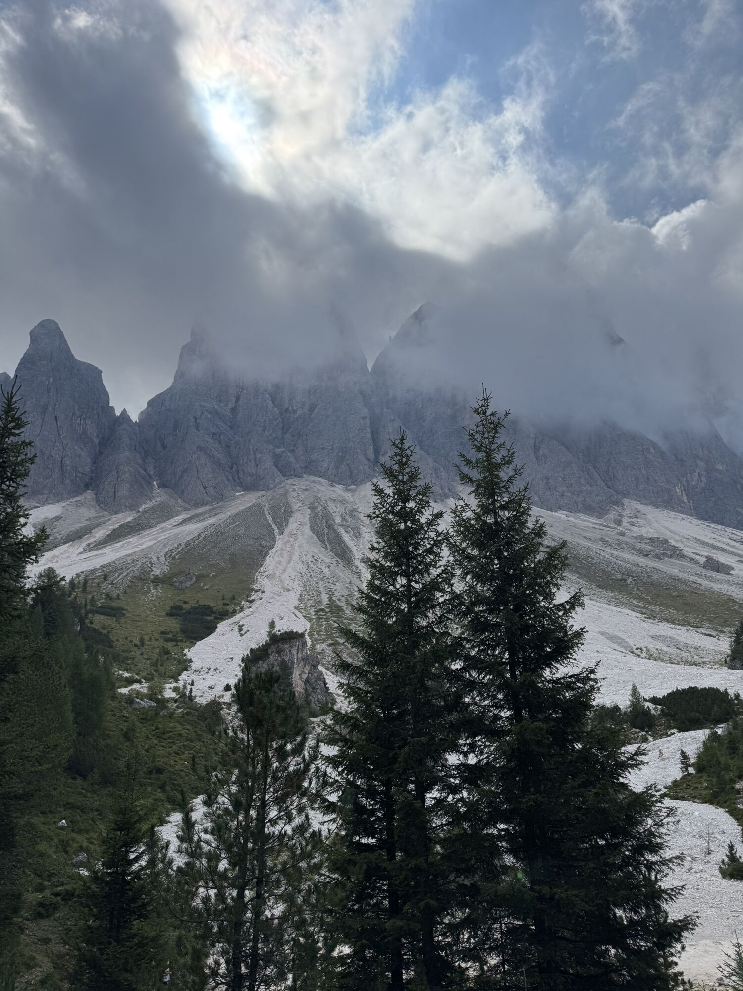
The Munkelweg trail beneath the Geisler peaks
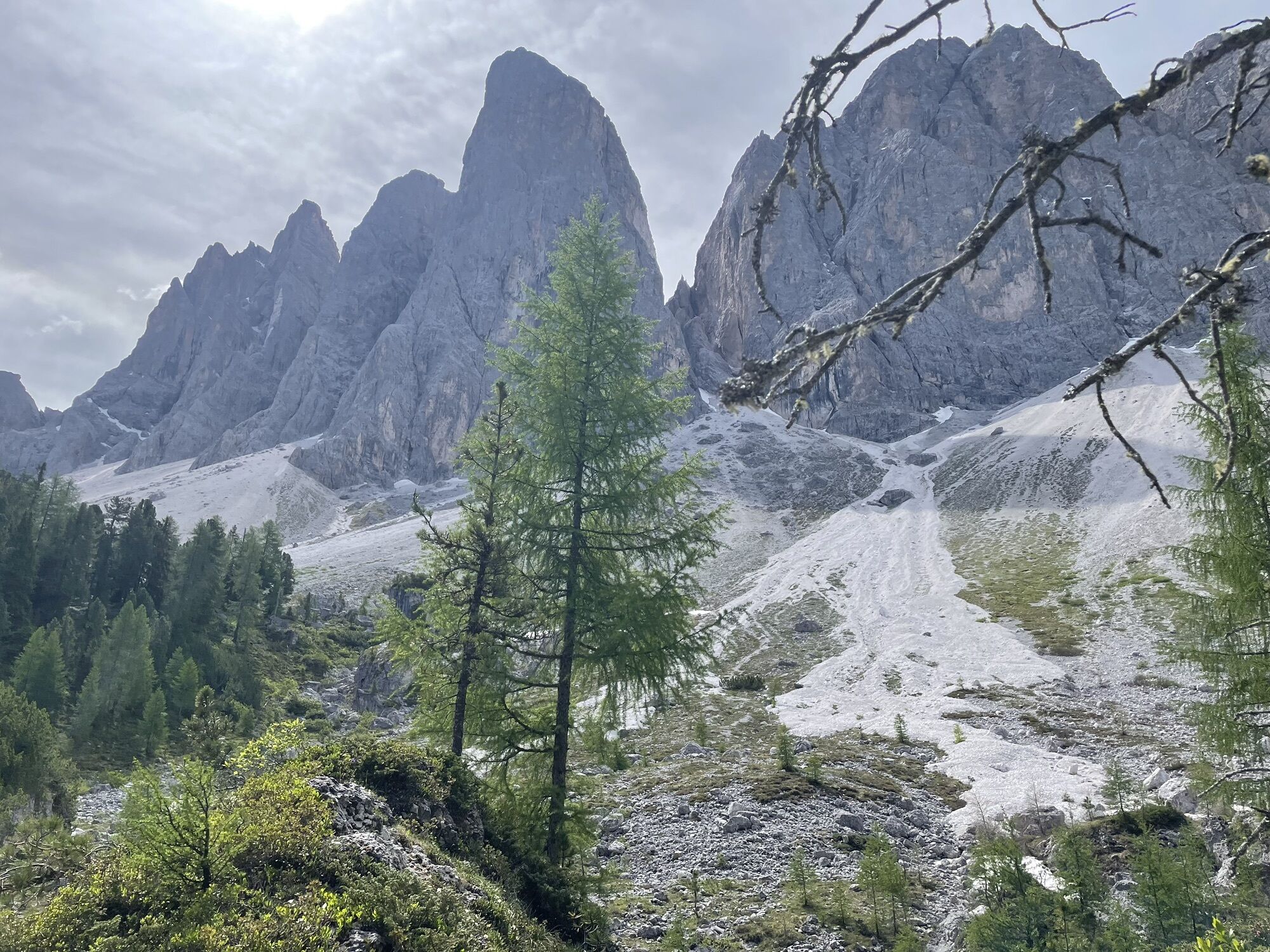
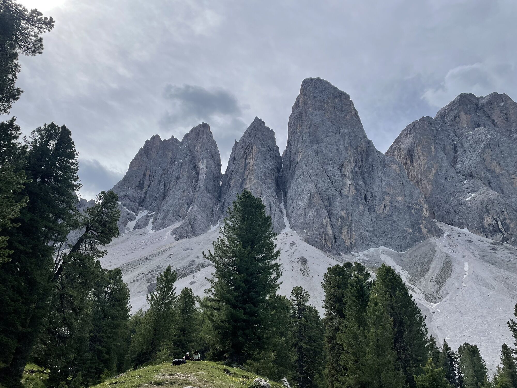
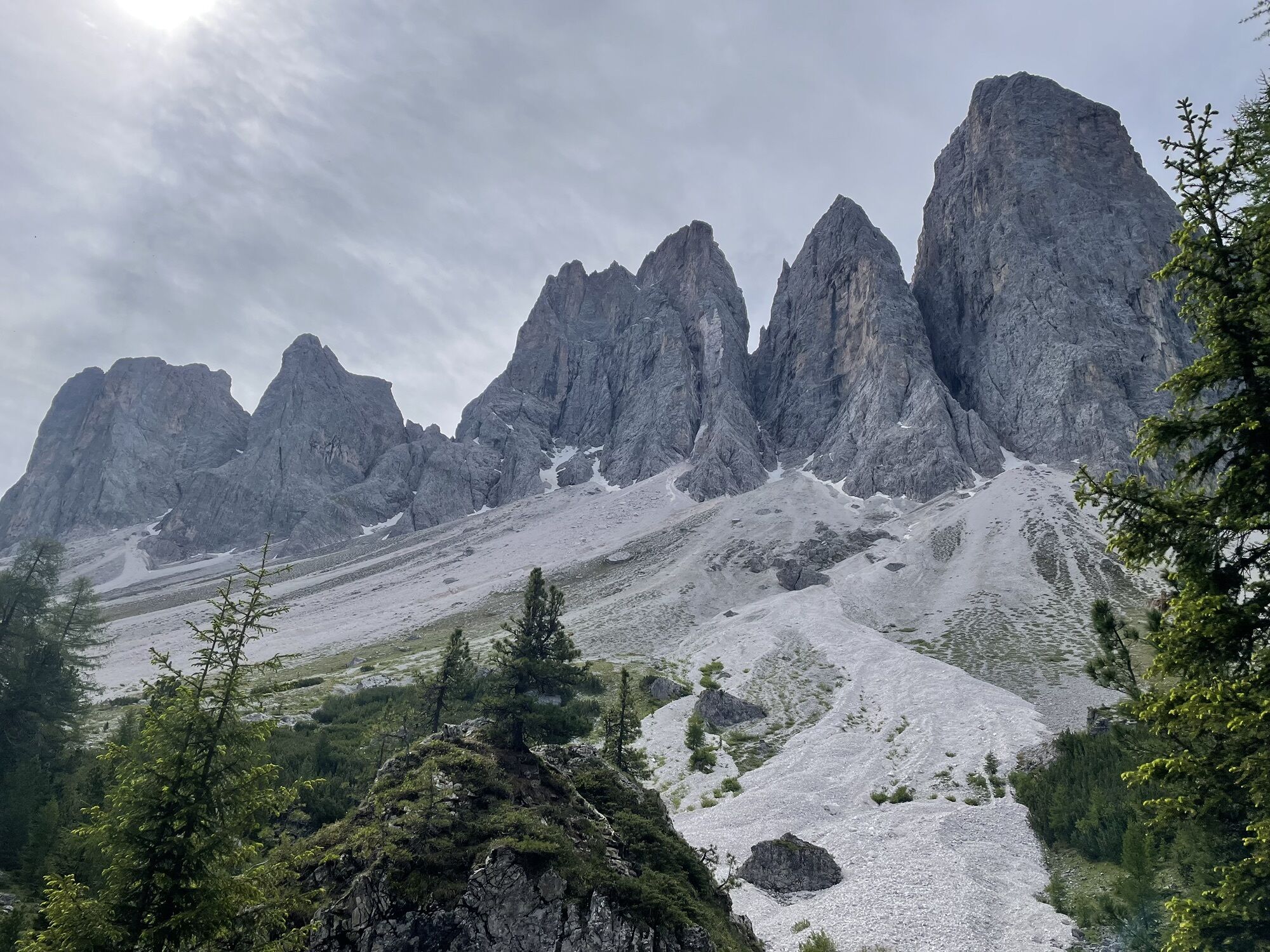
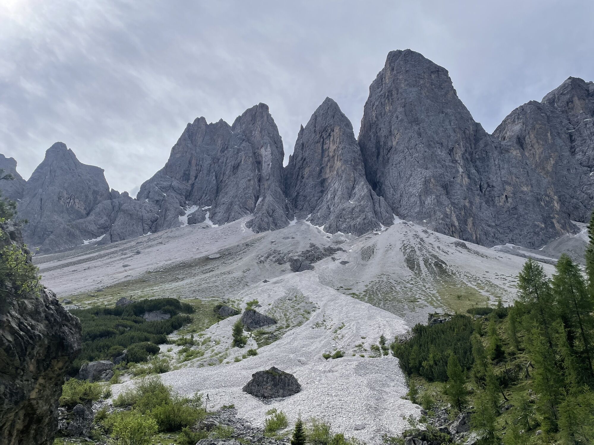
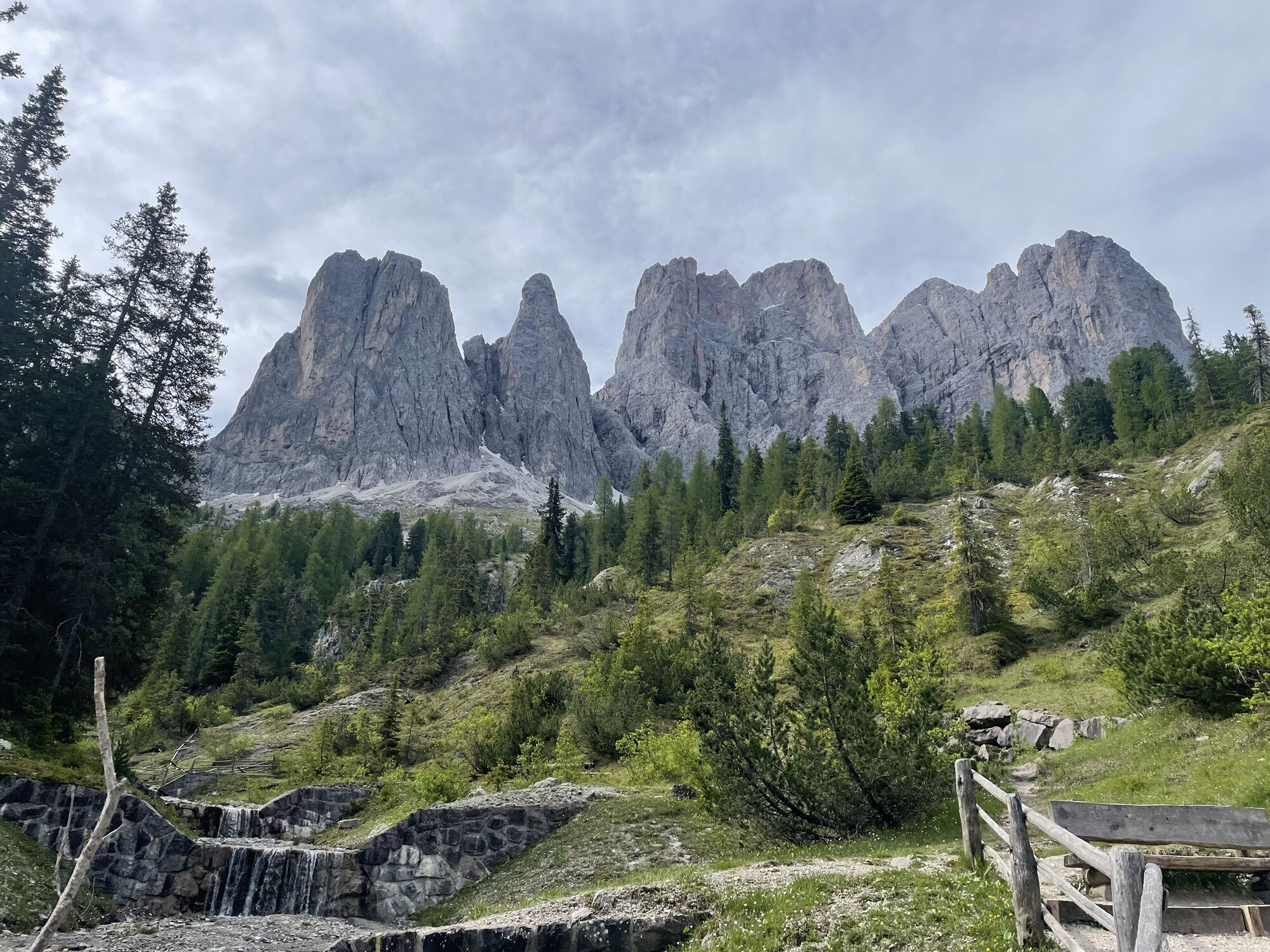
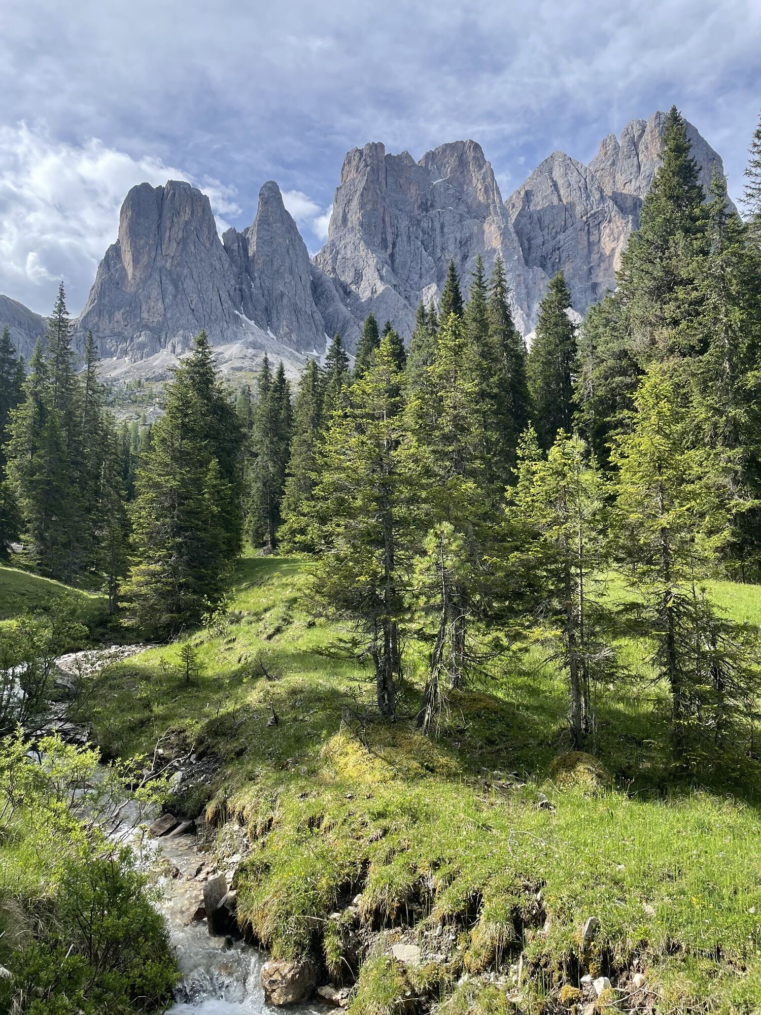
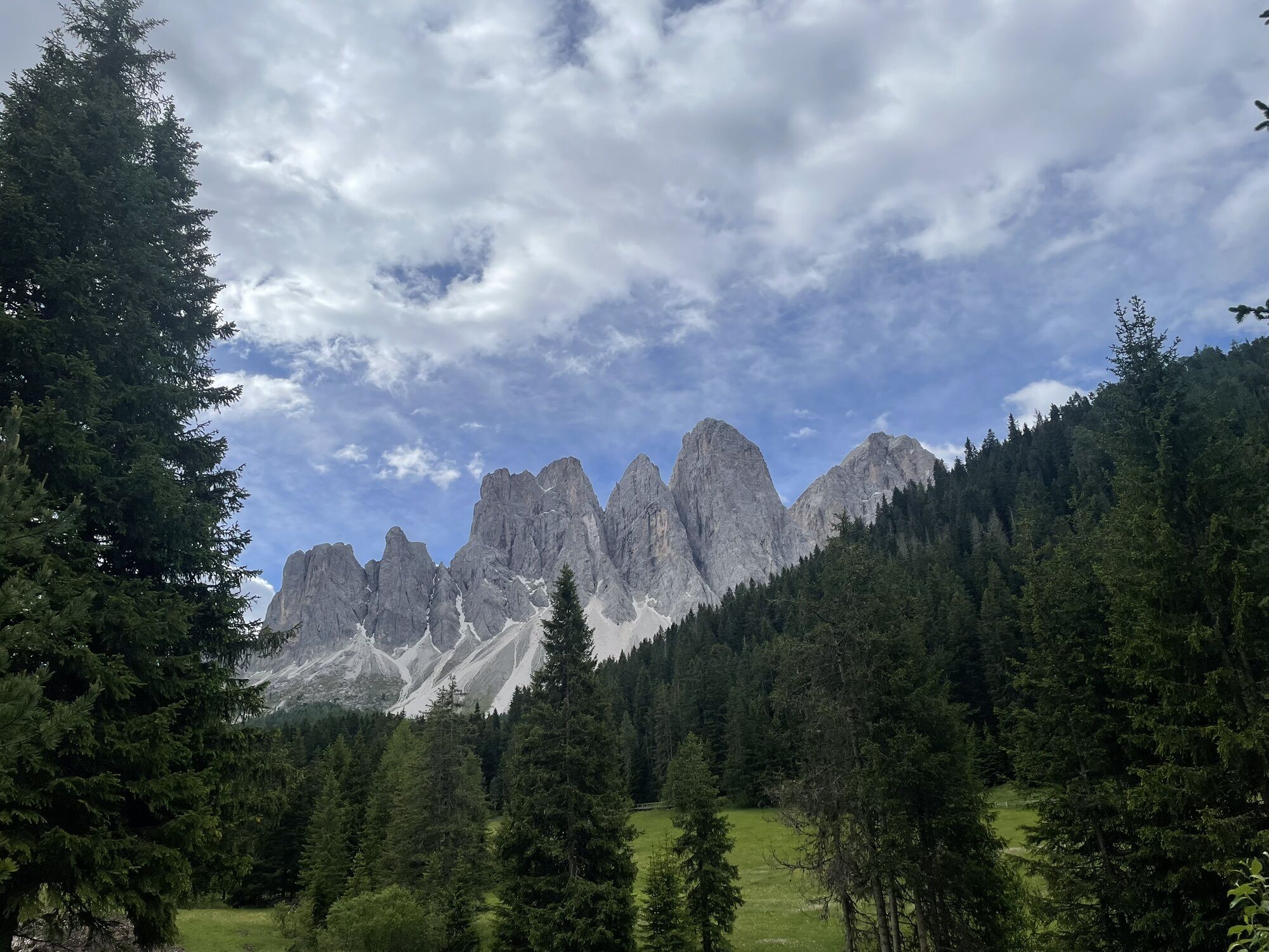
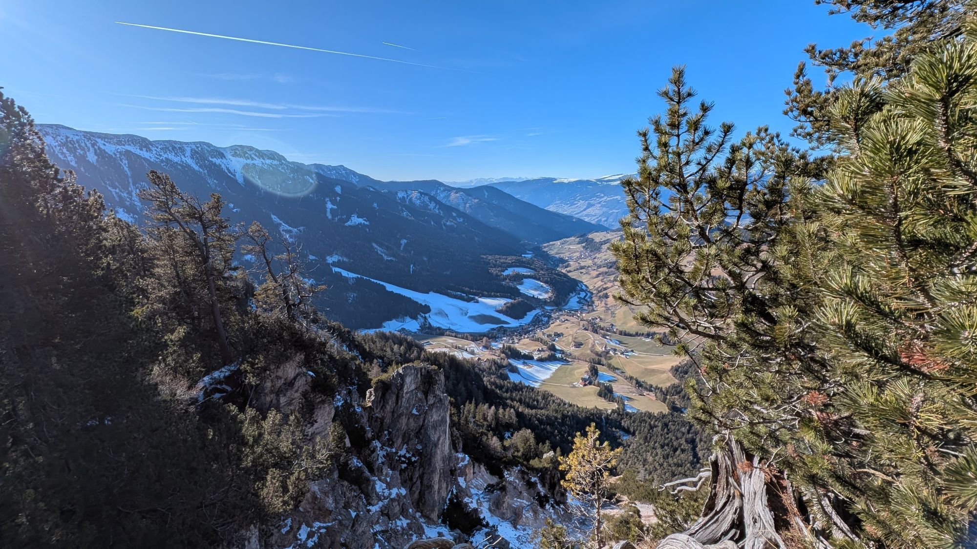
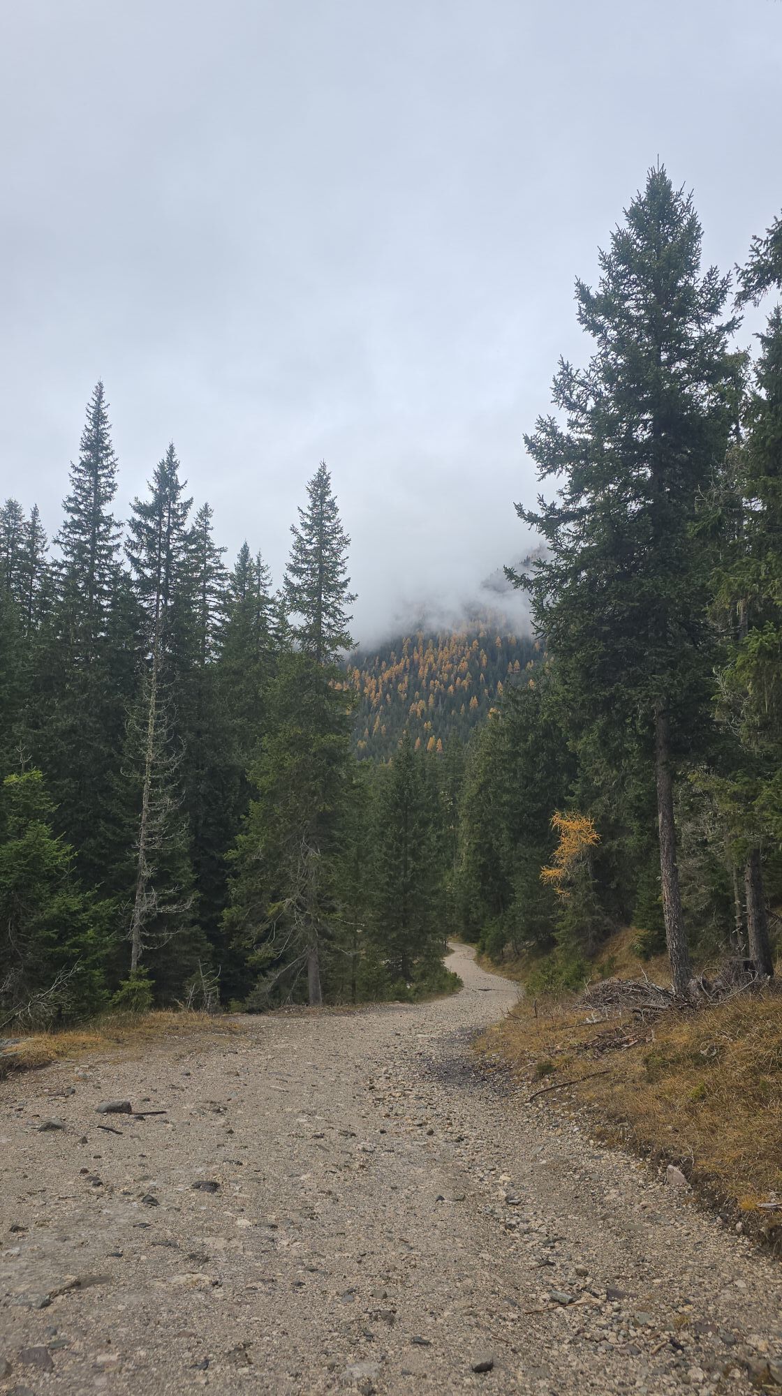
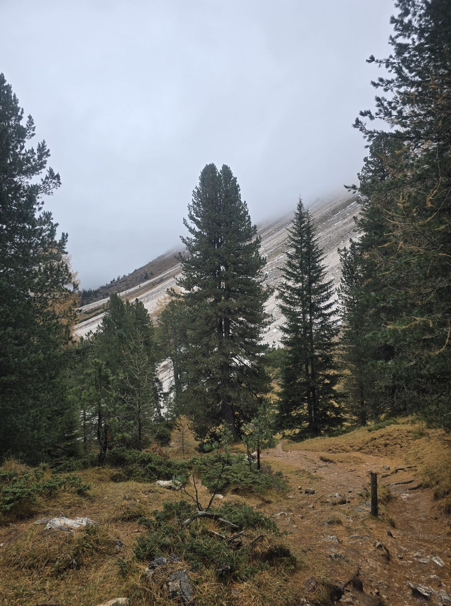
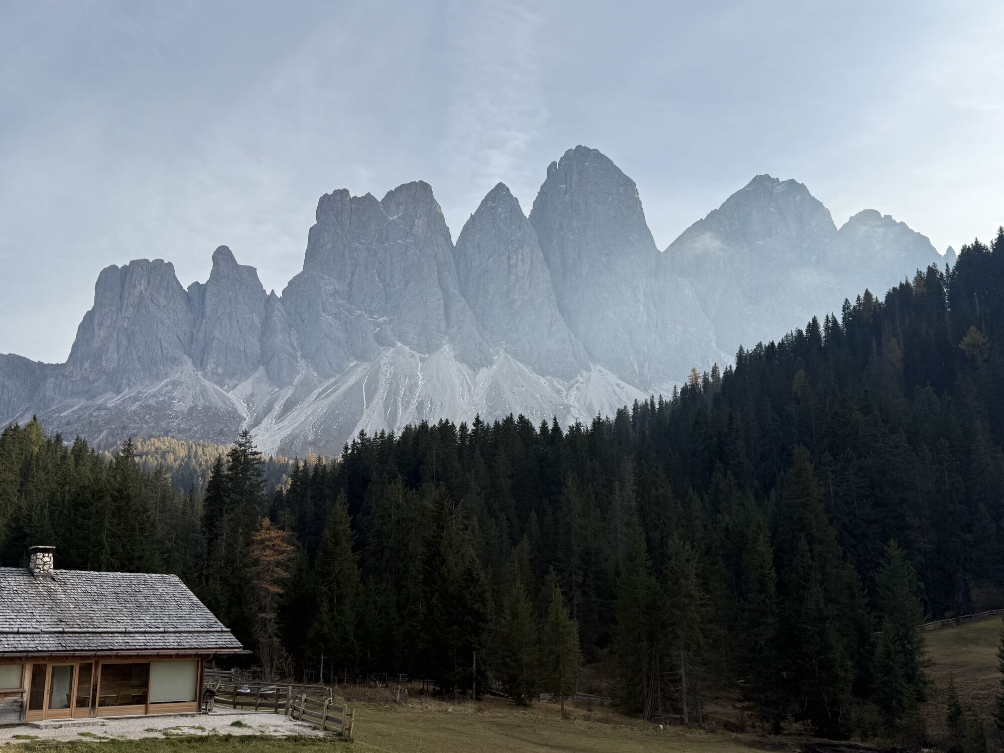
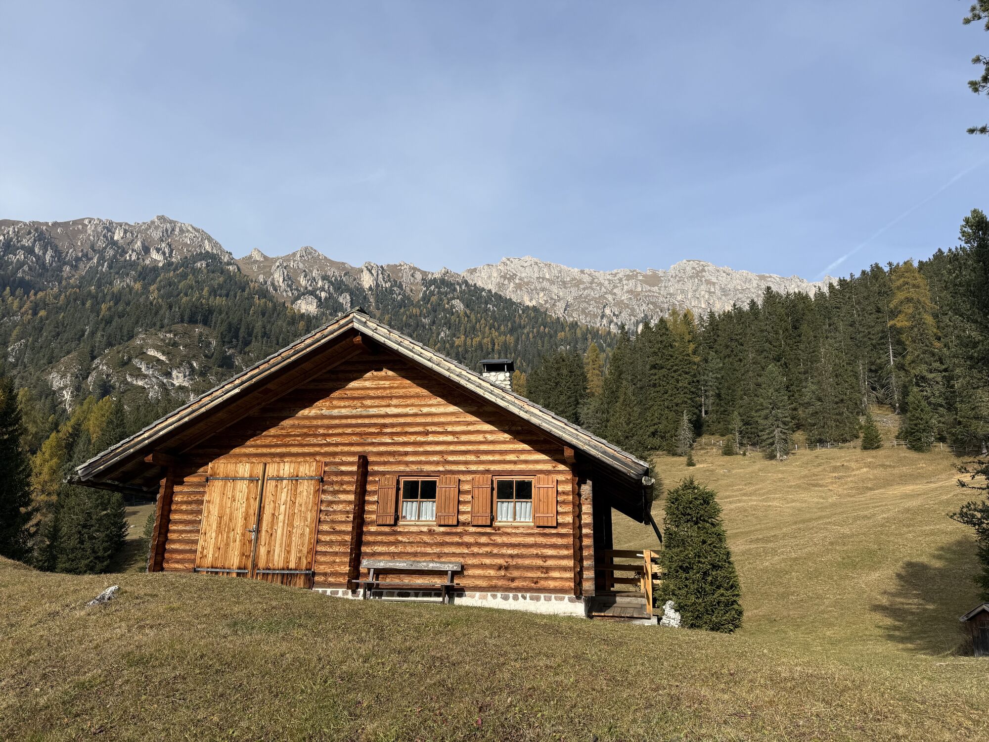
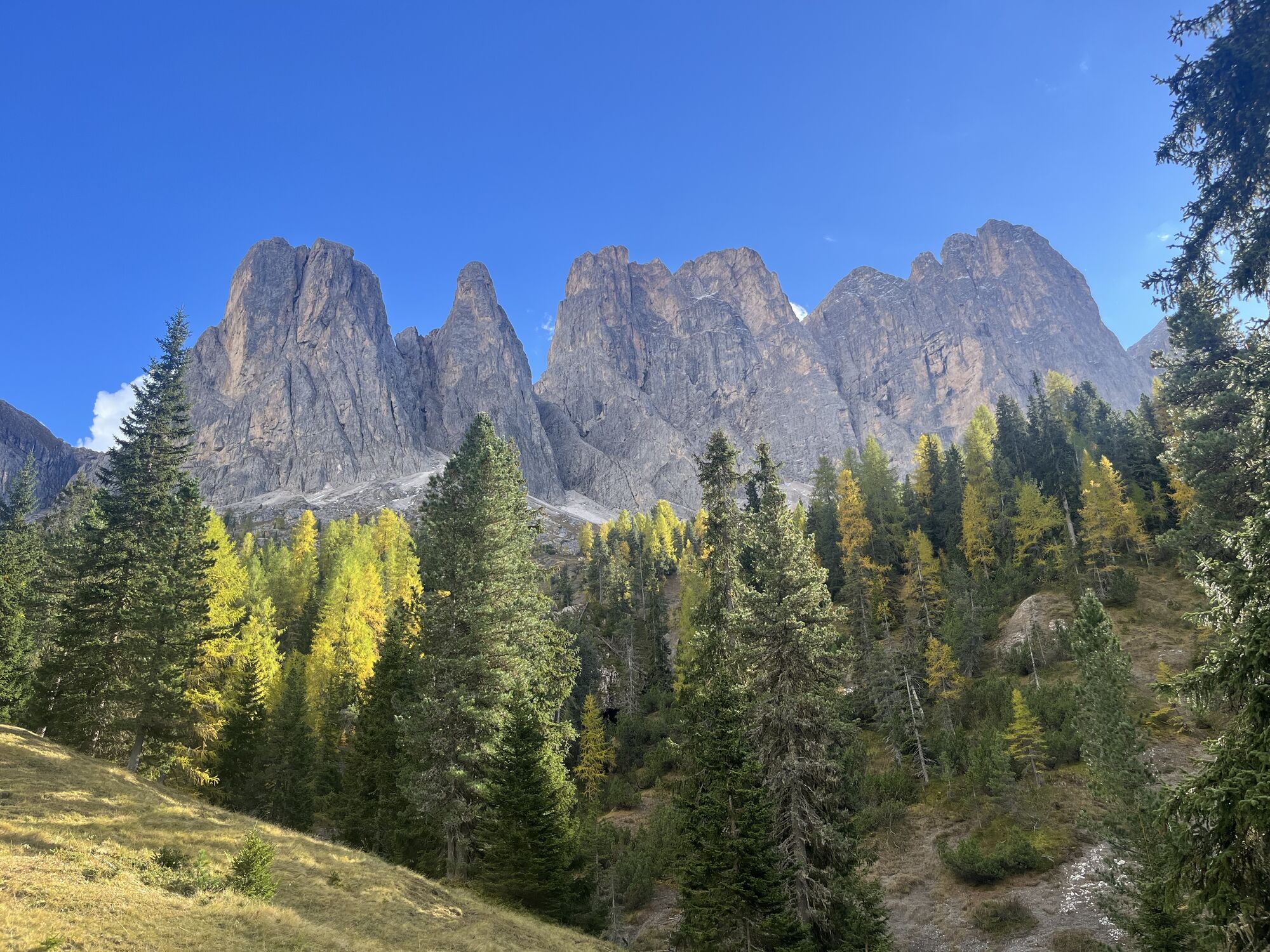
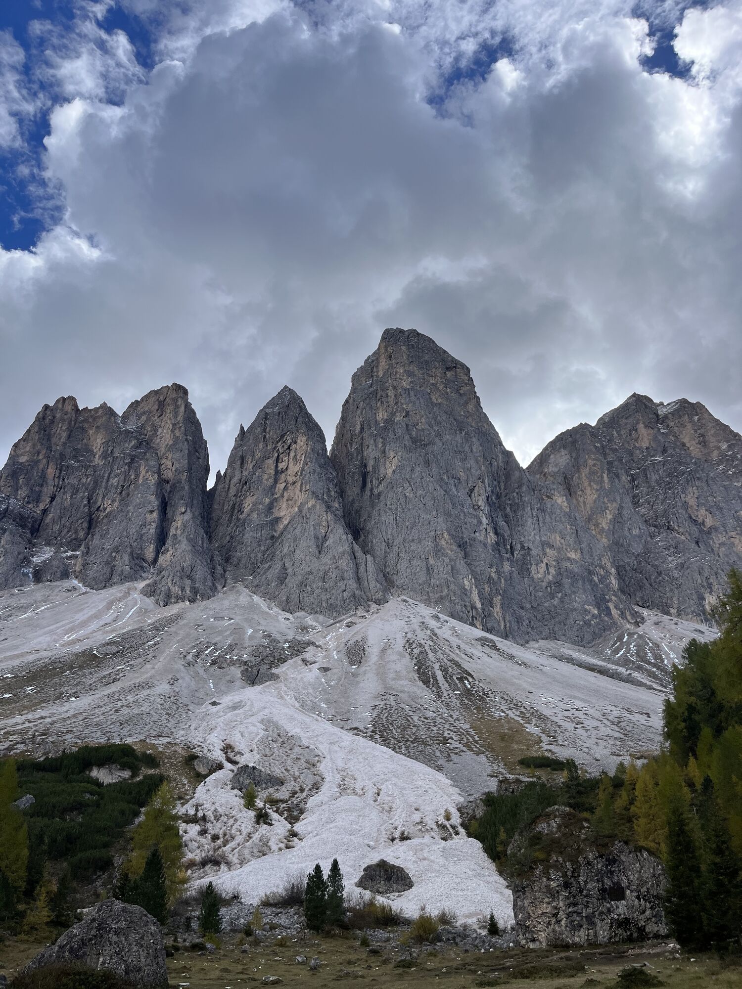
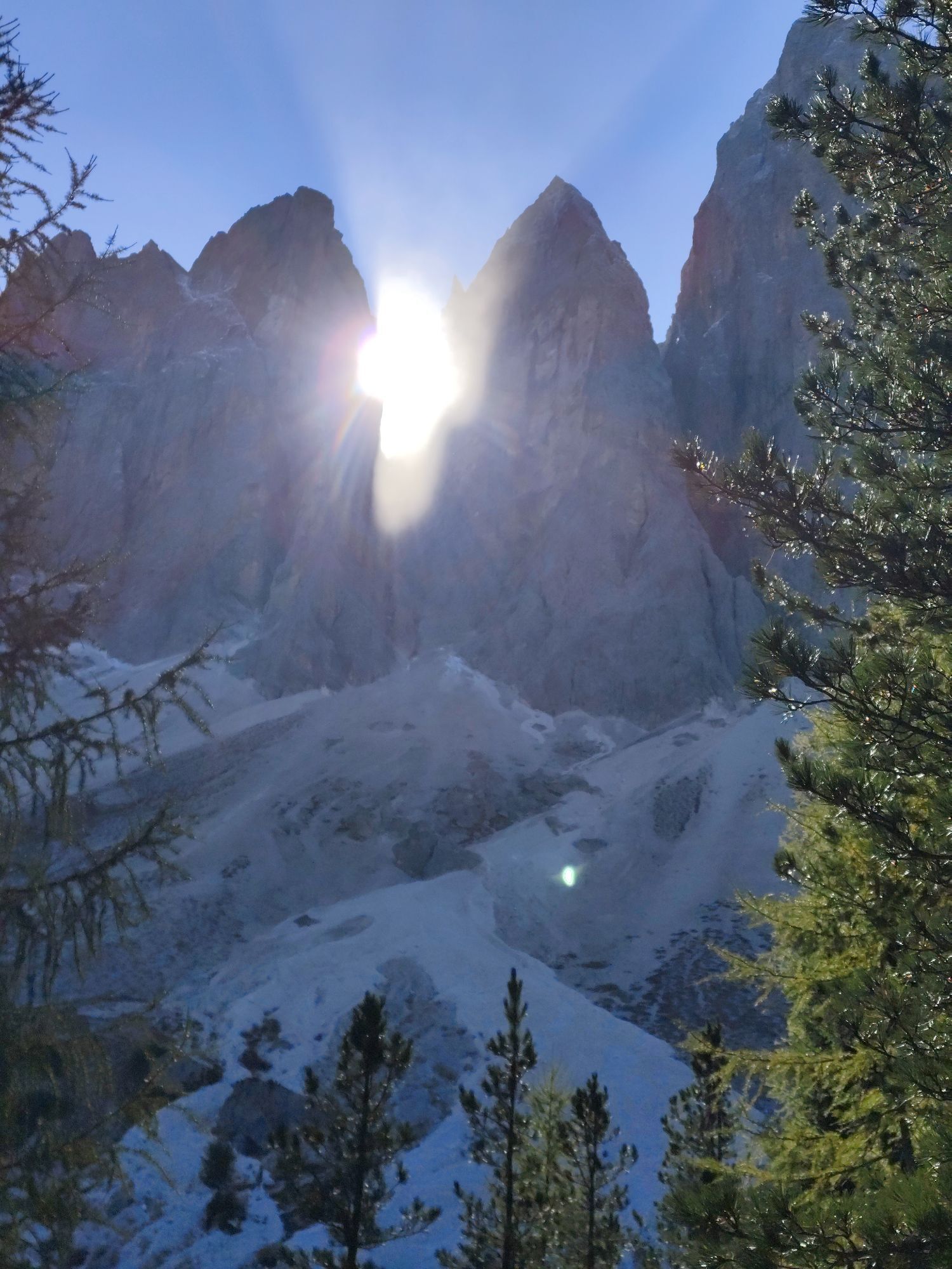
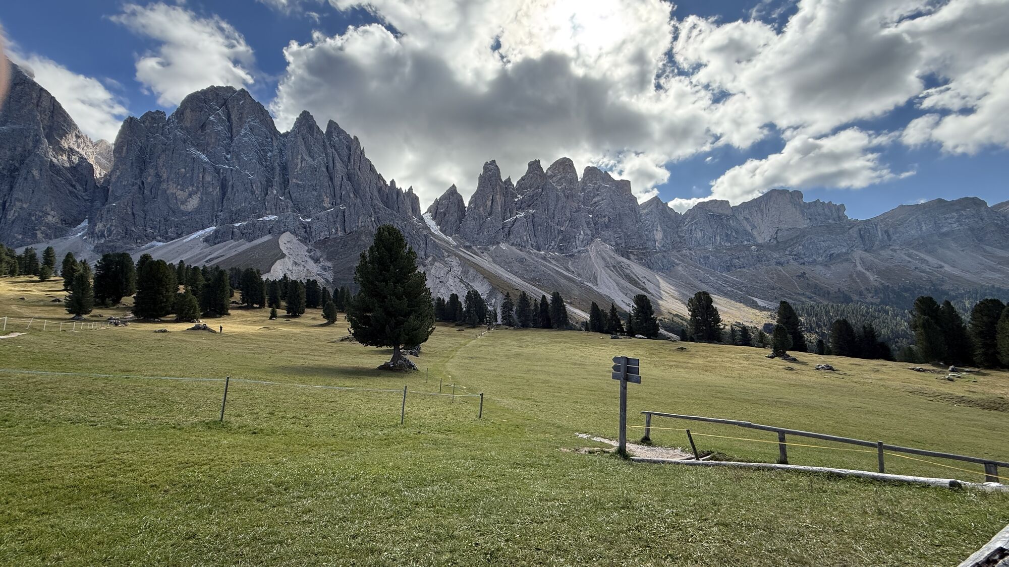
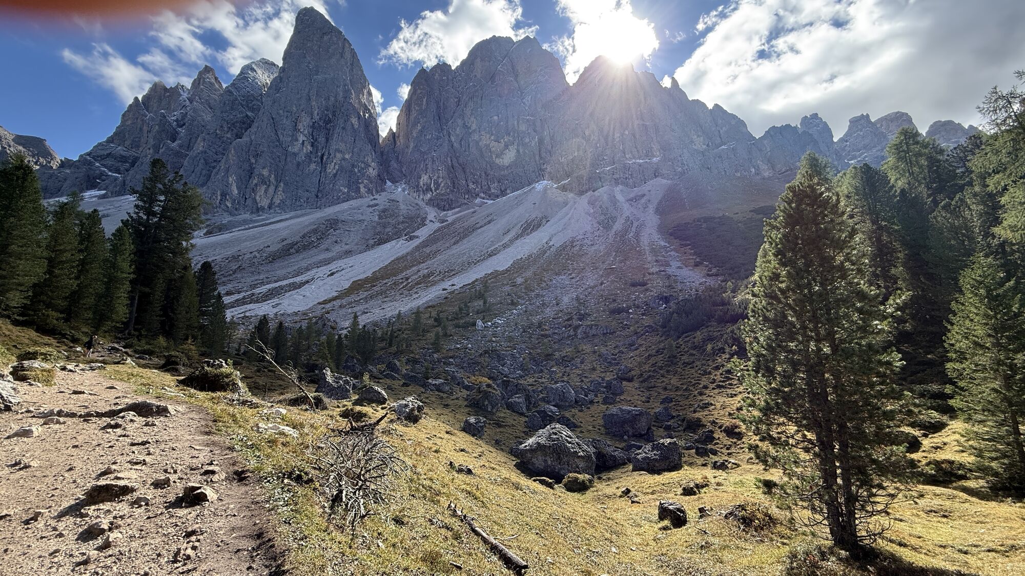
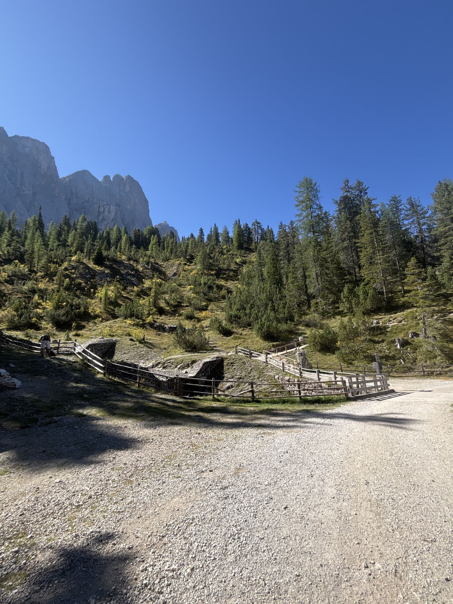
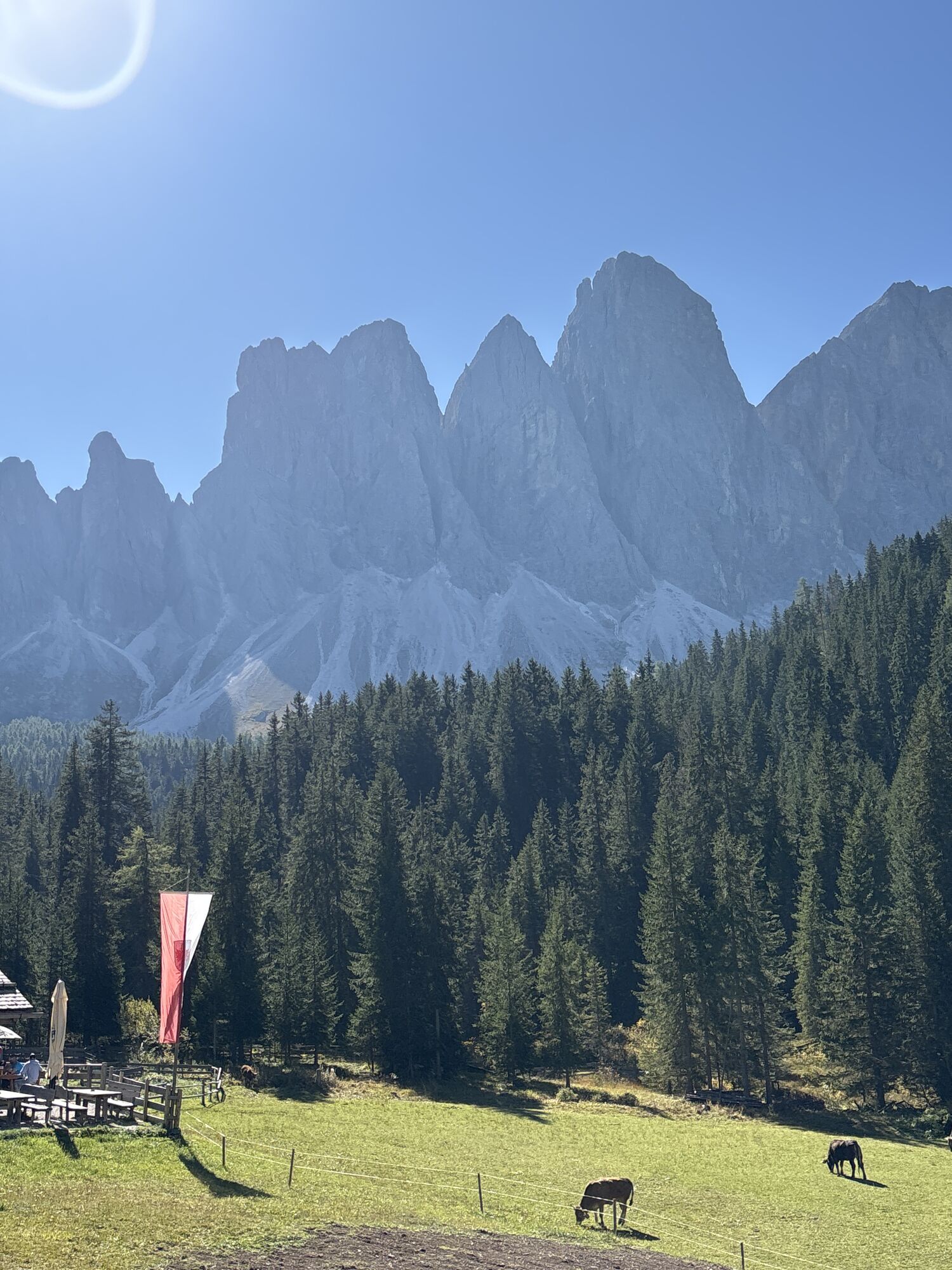
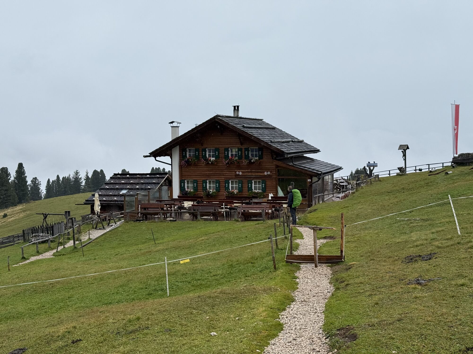
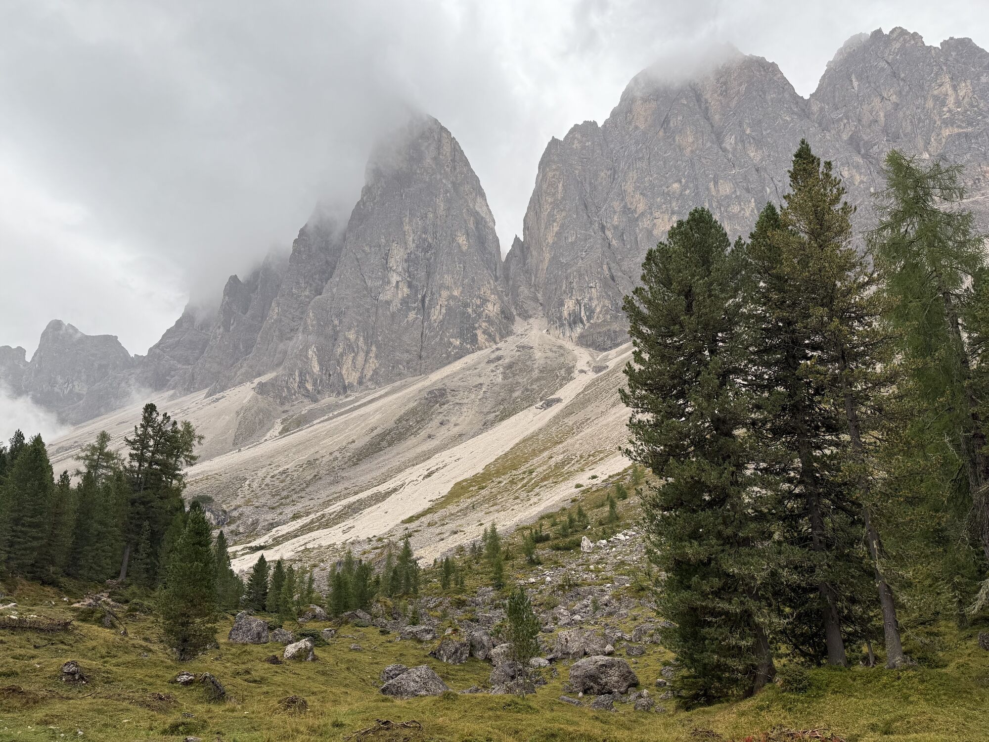
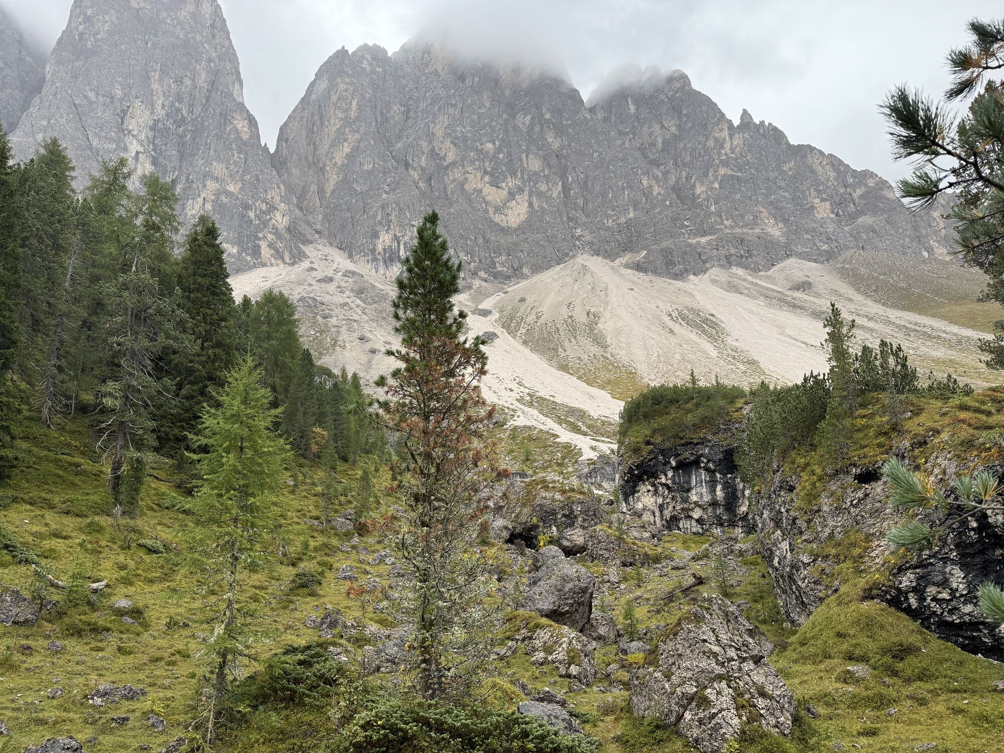
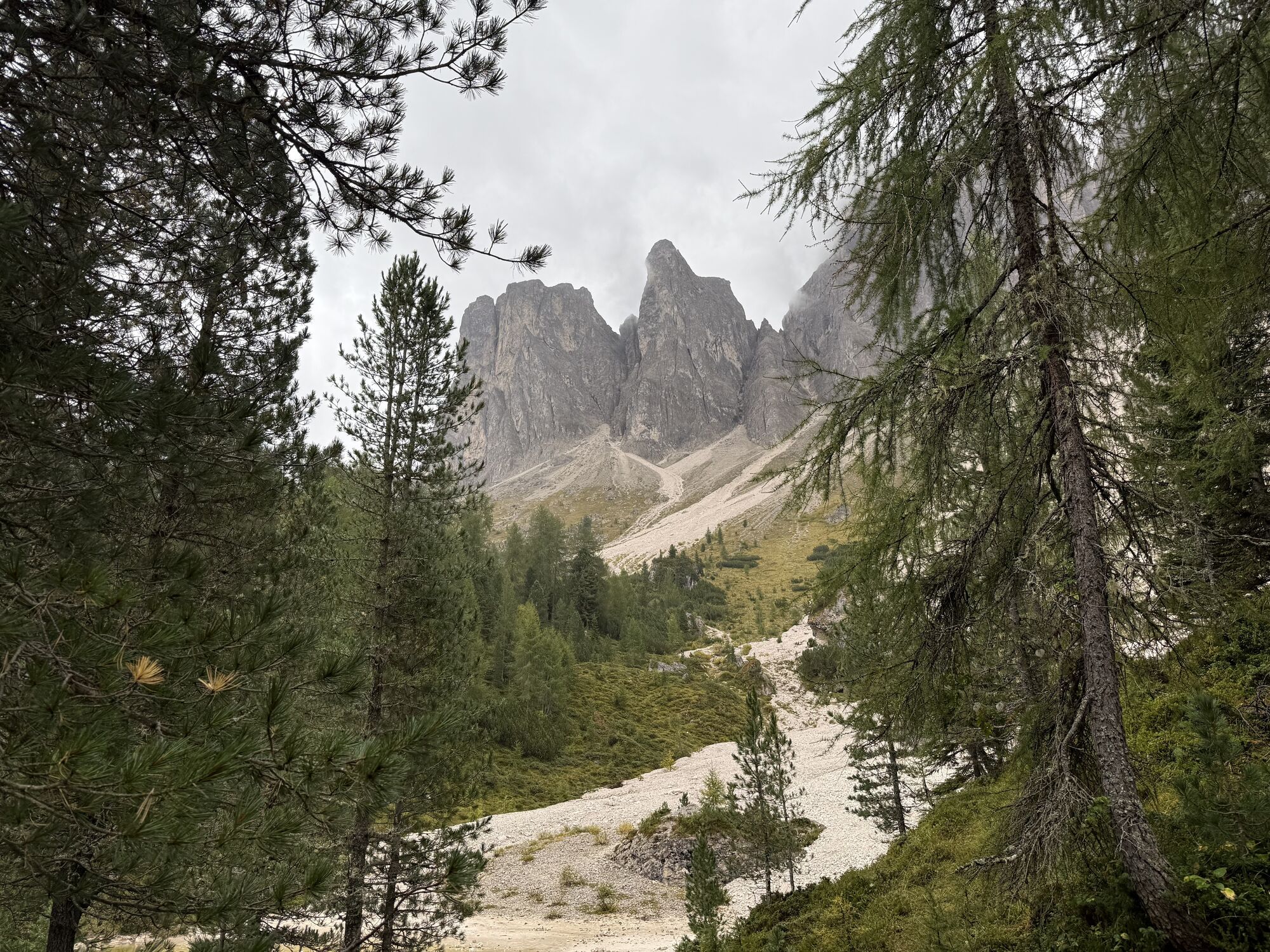
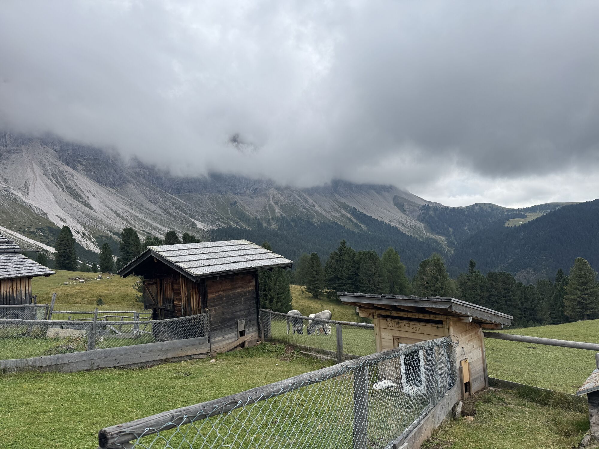
From the car park at the Zanseralm mountain hut (1,680 m) in the Villnösstal Valley, follow the signs to the Zans Nature Trail (Naturerlebnispfad Zans in German) past the Gasthof Sass Rigais Inn (1,689...
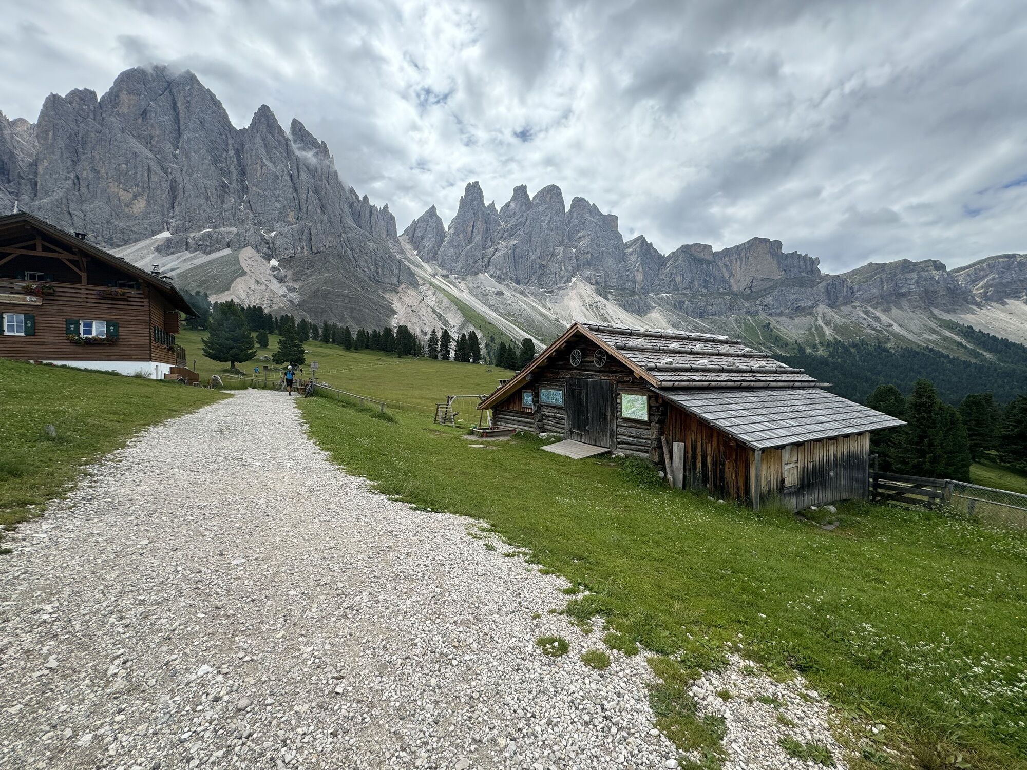
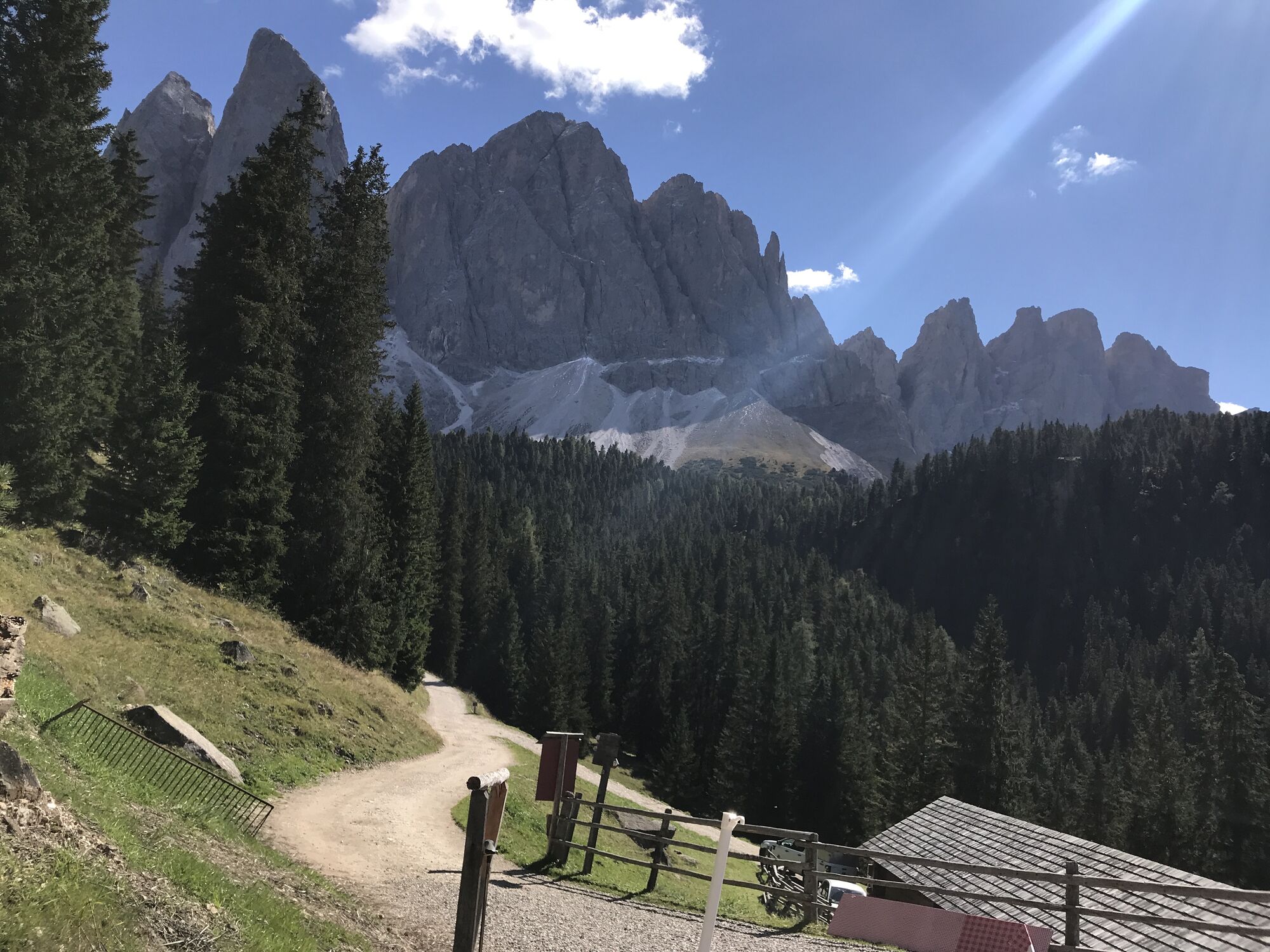
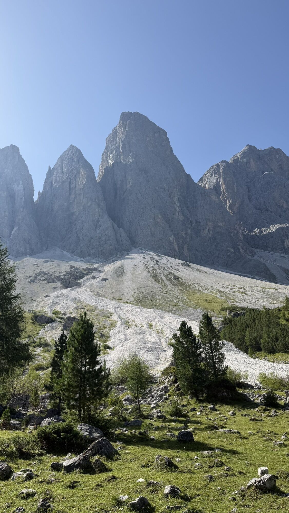
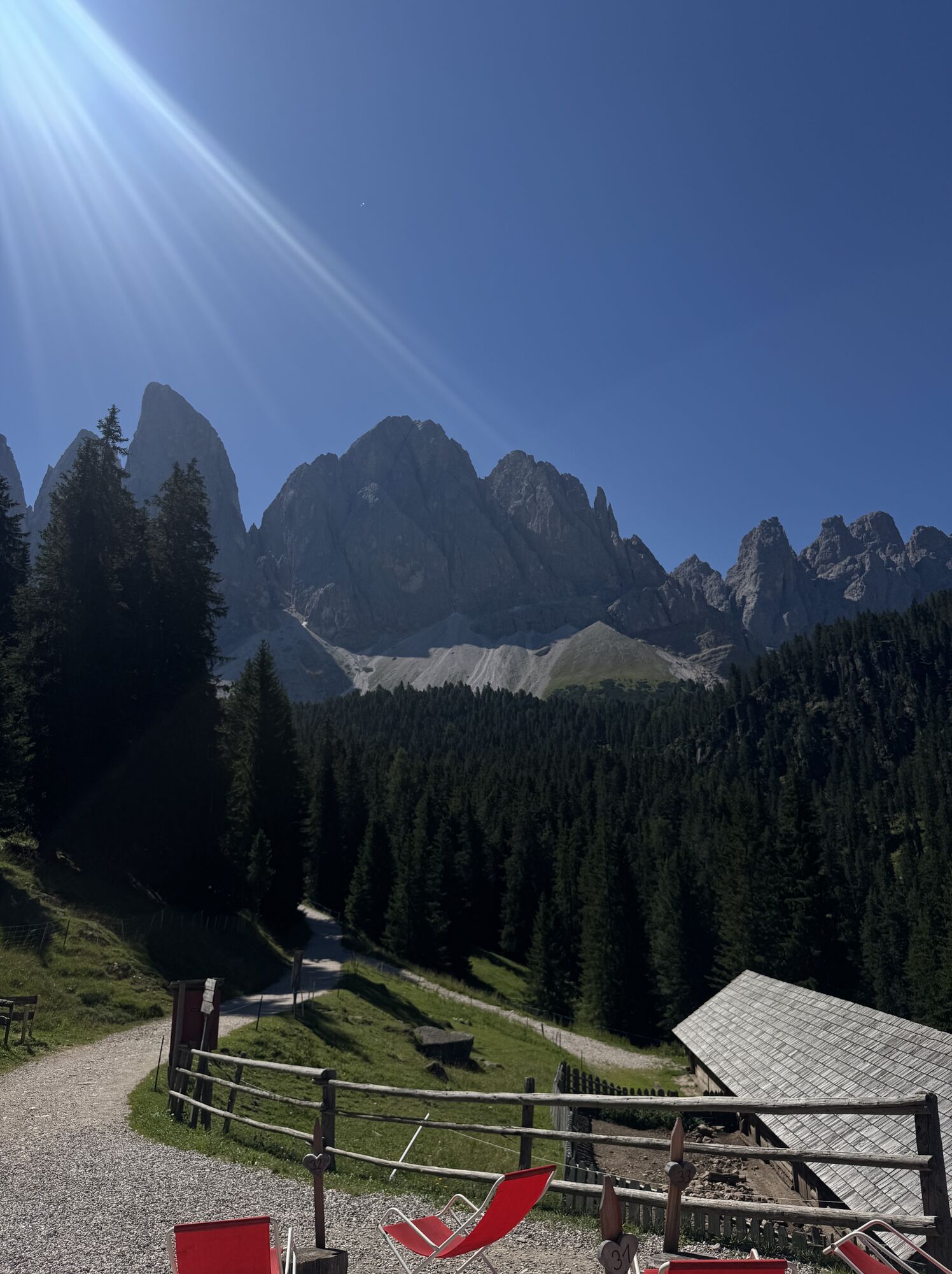
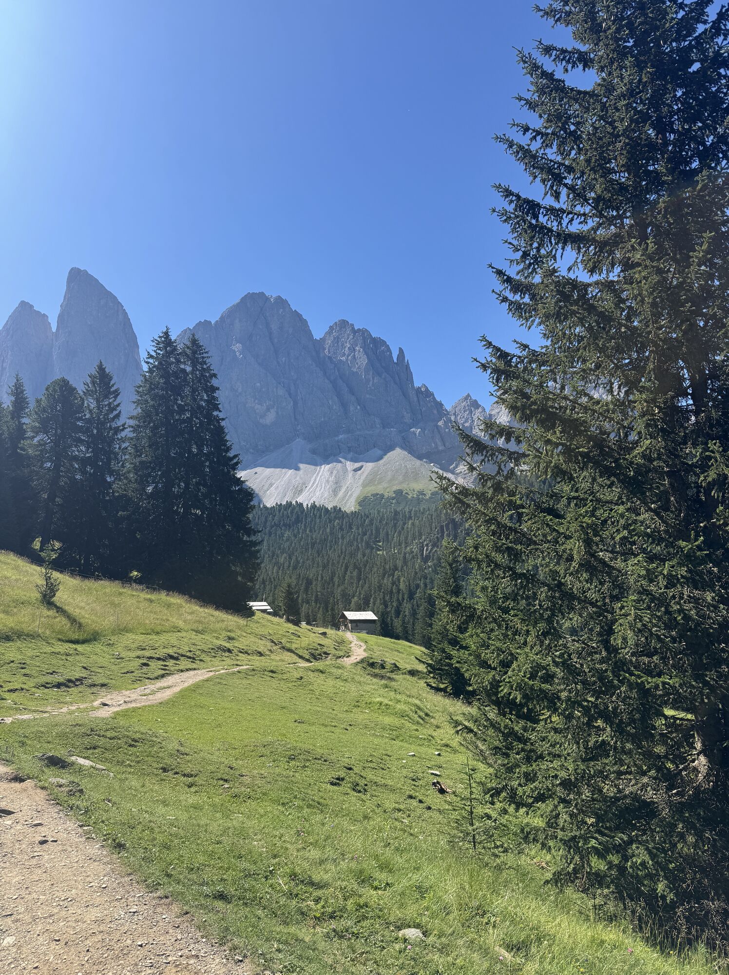
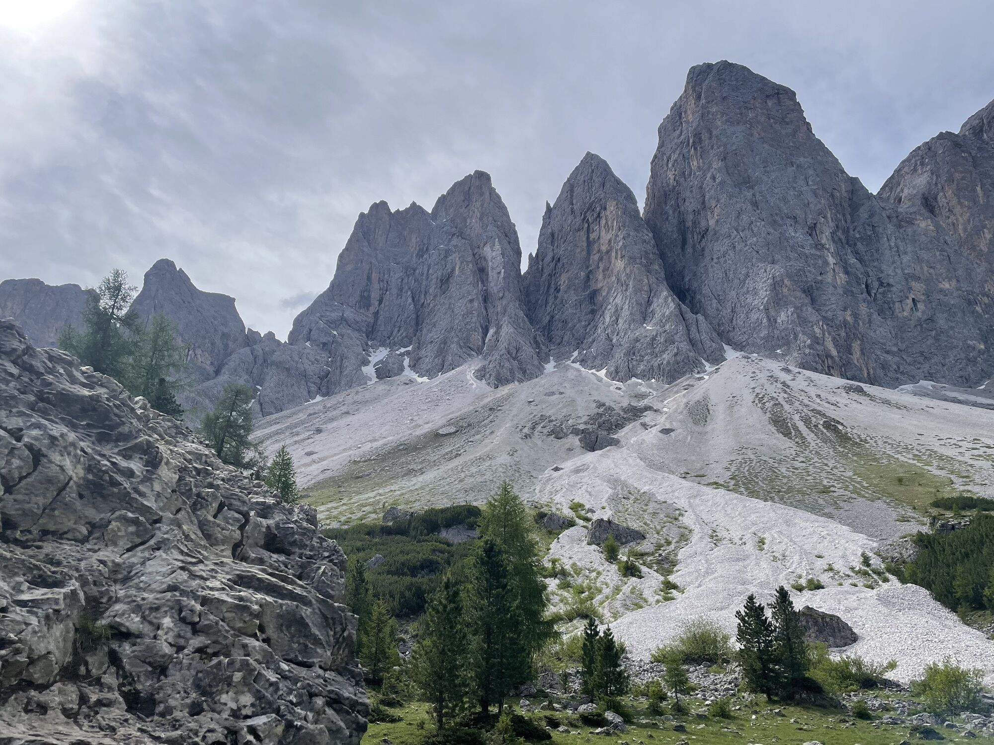
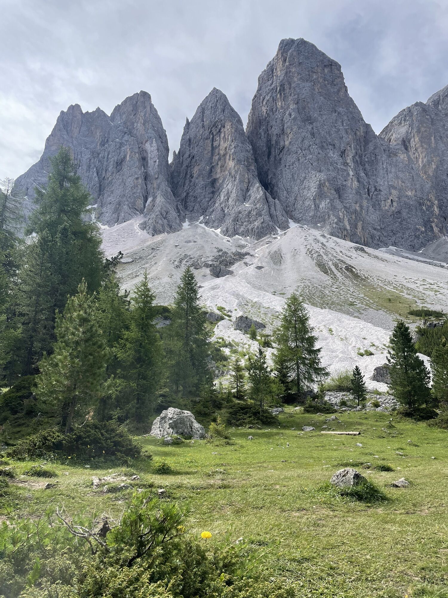
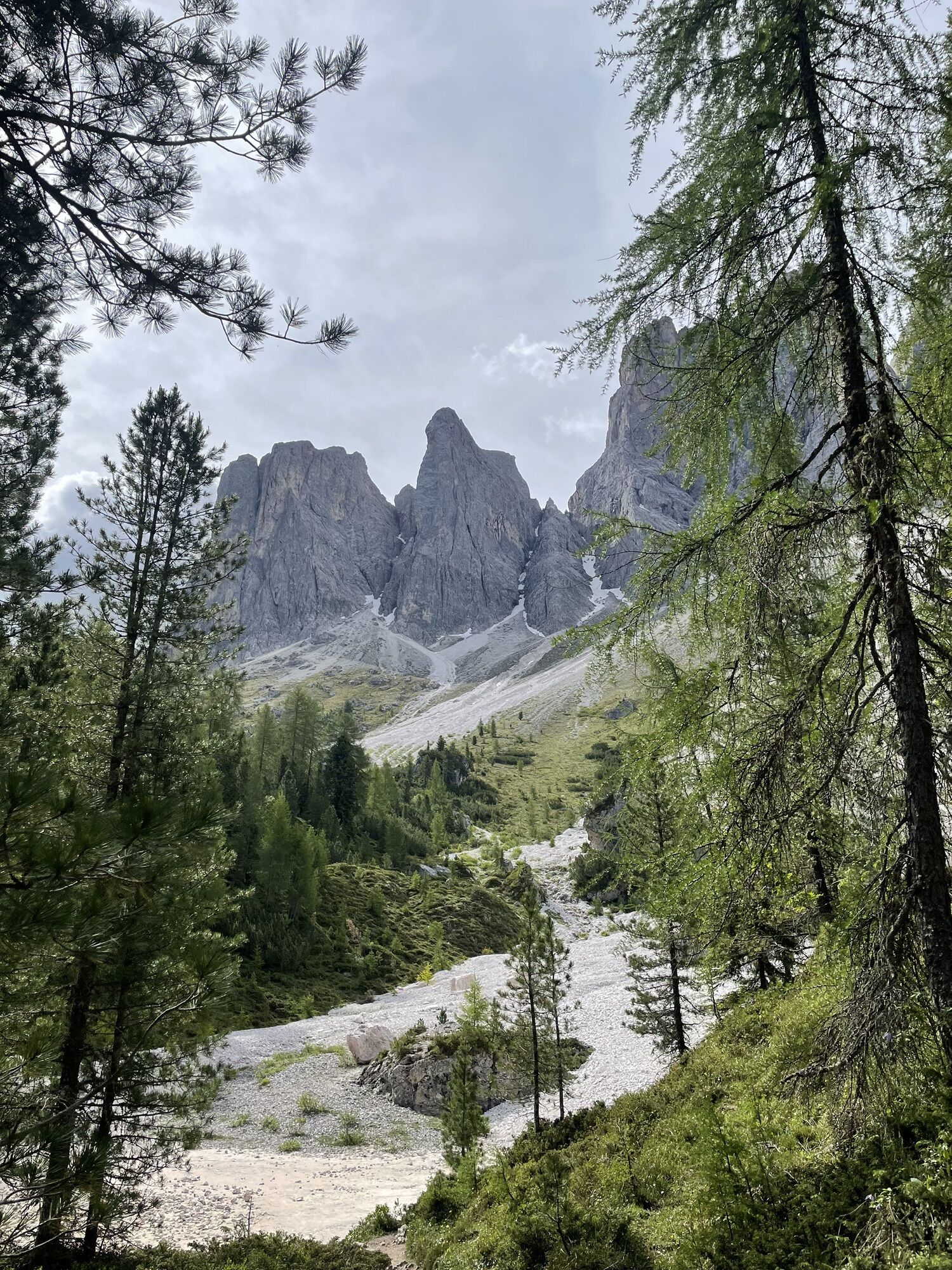
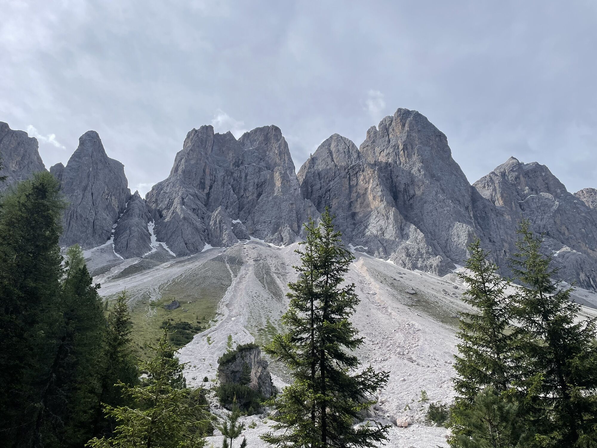
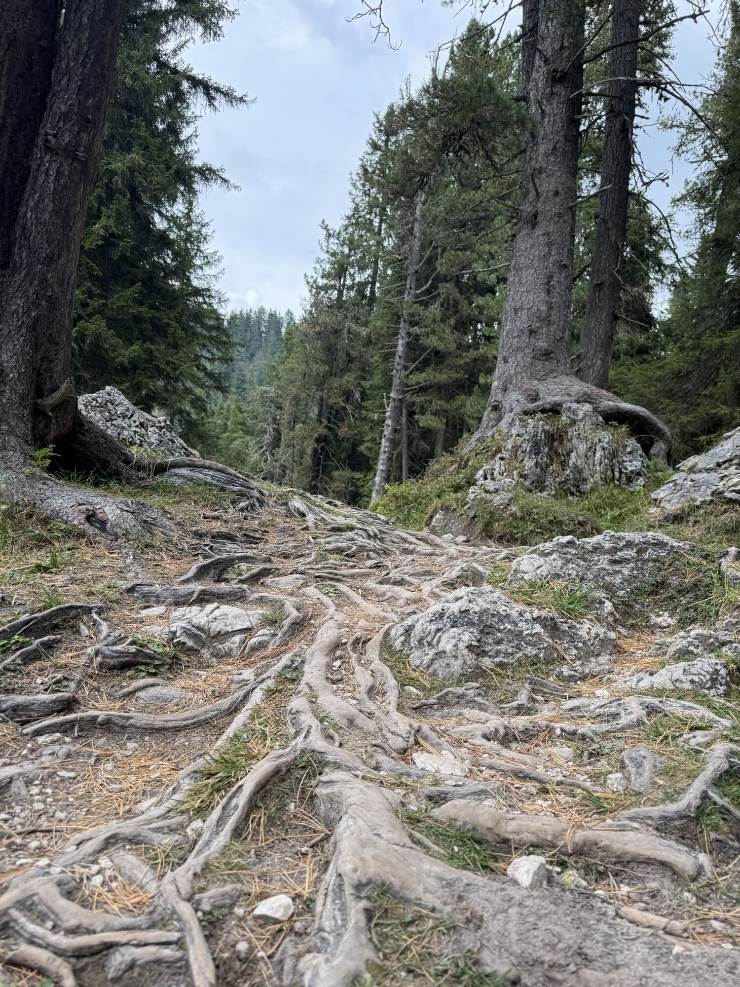
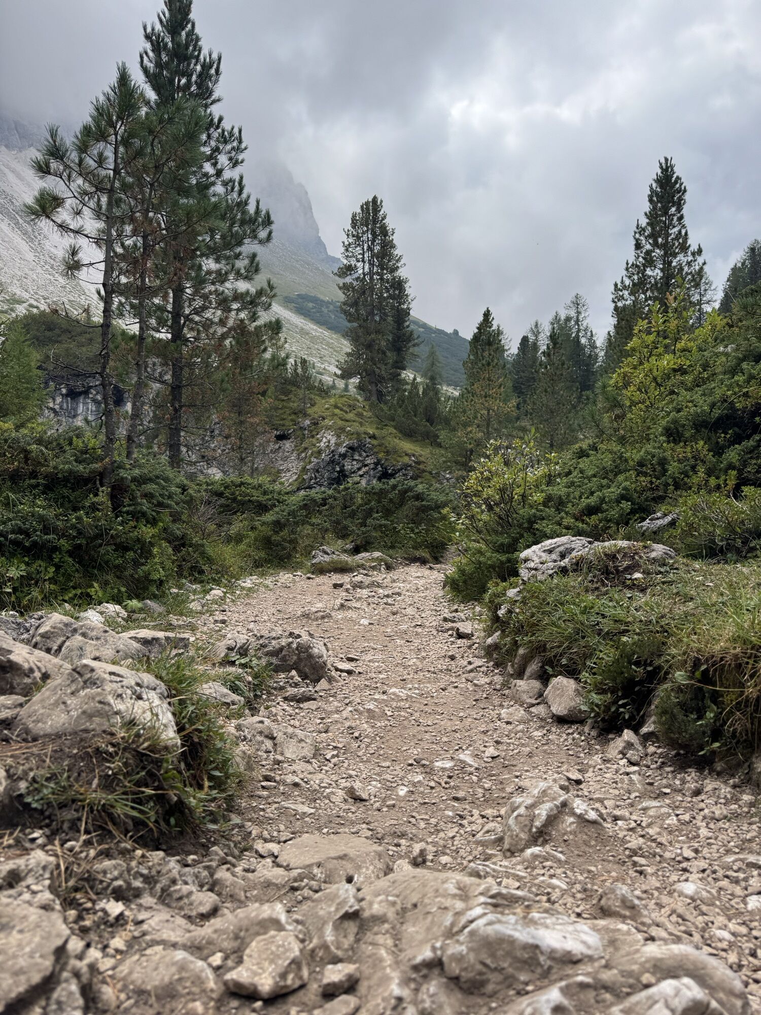
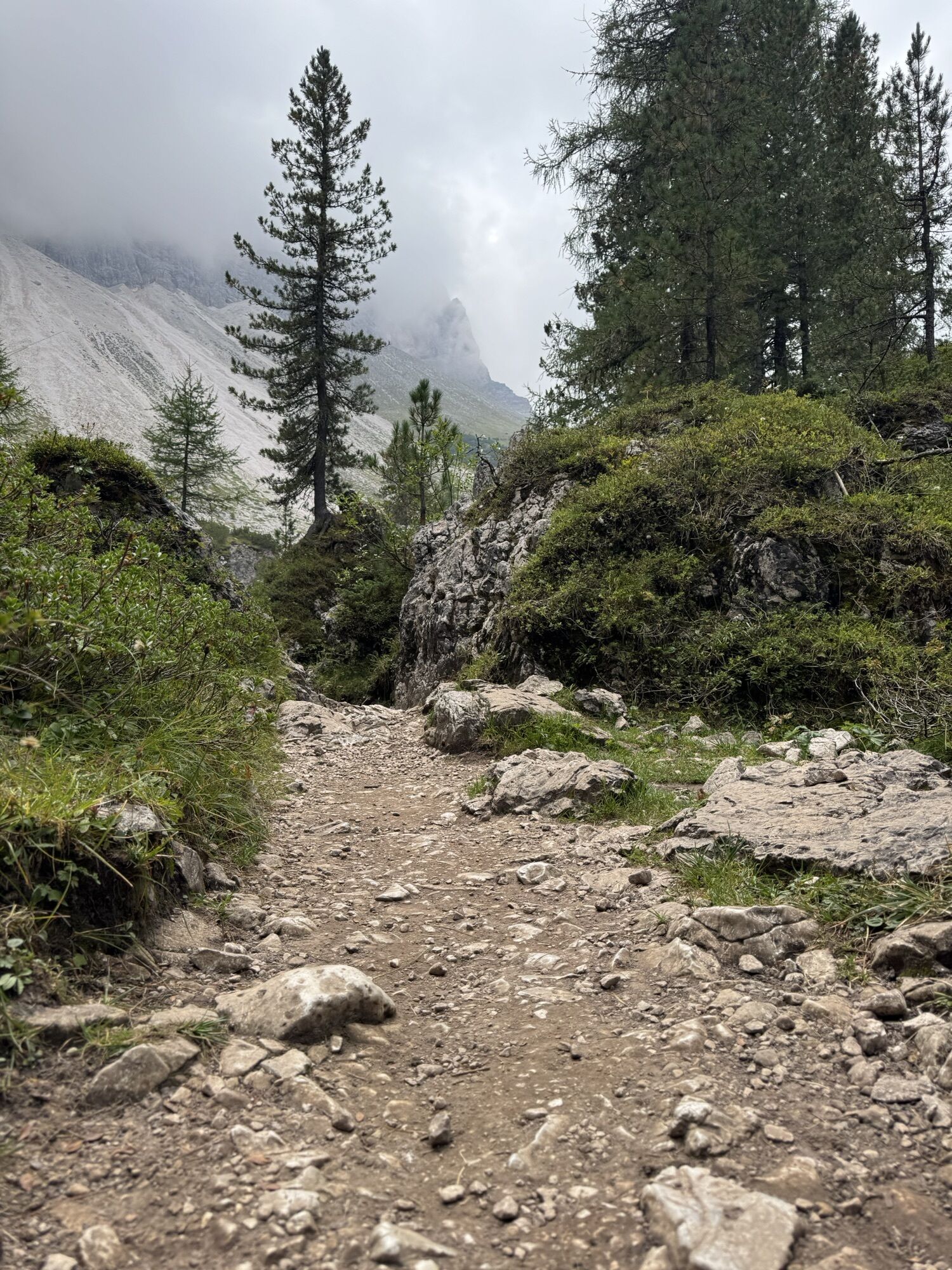
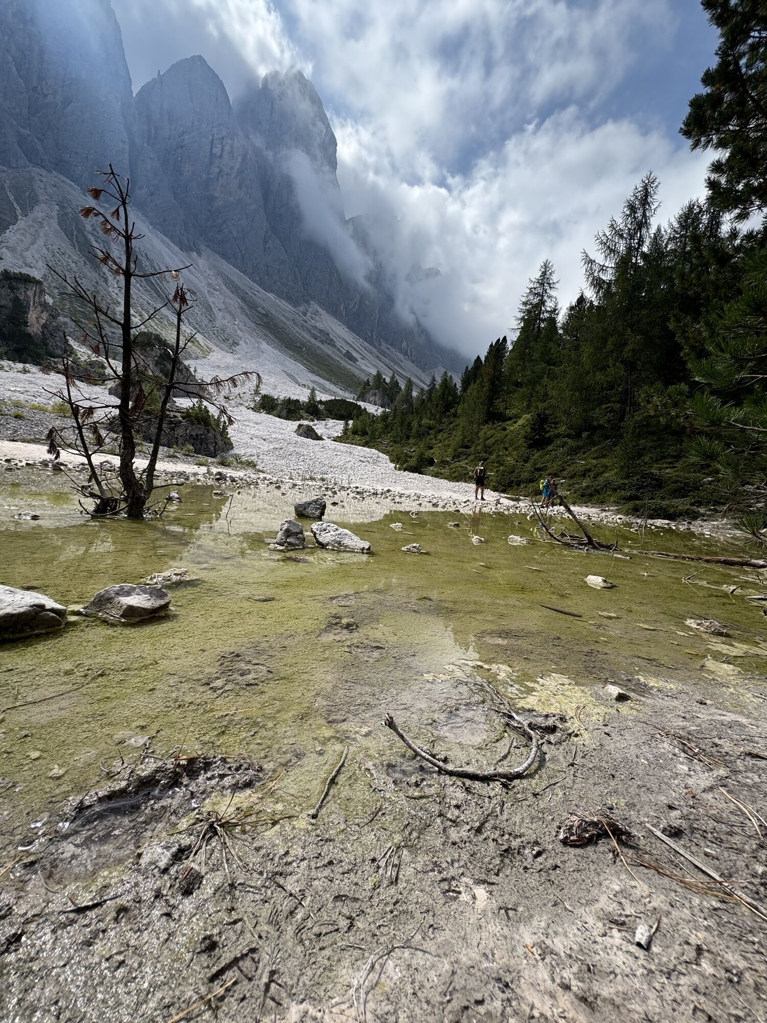
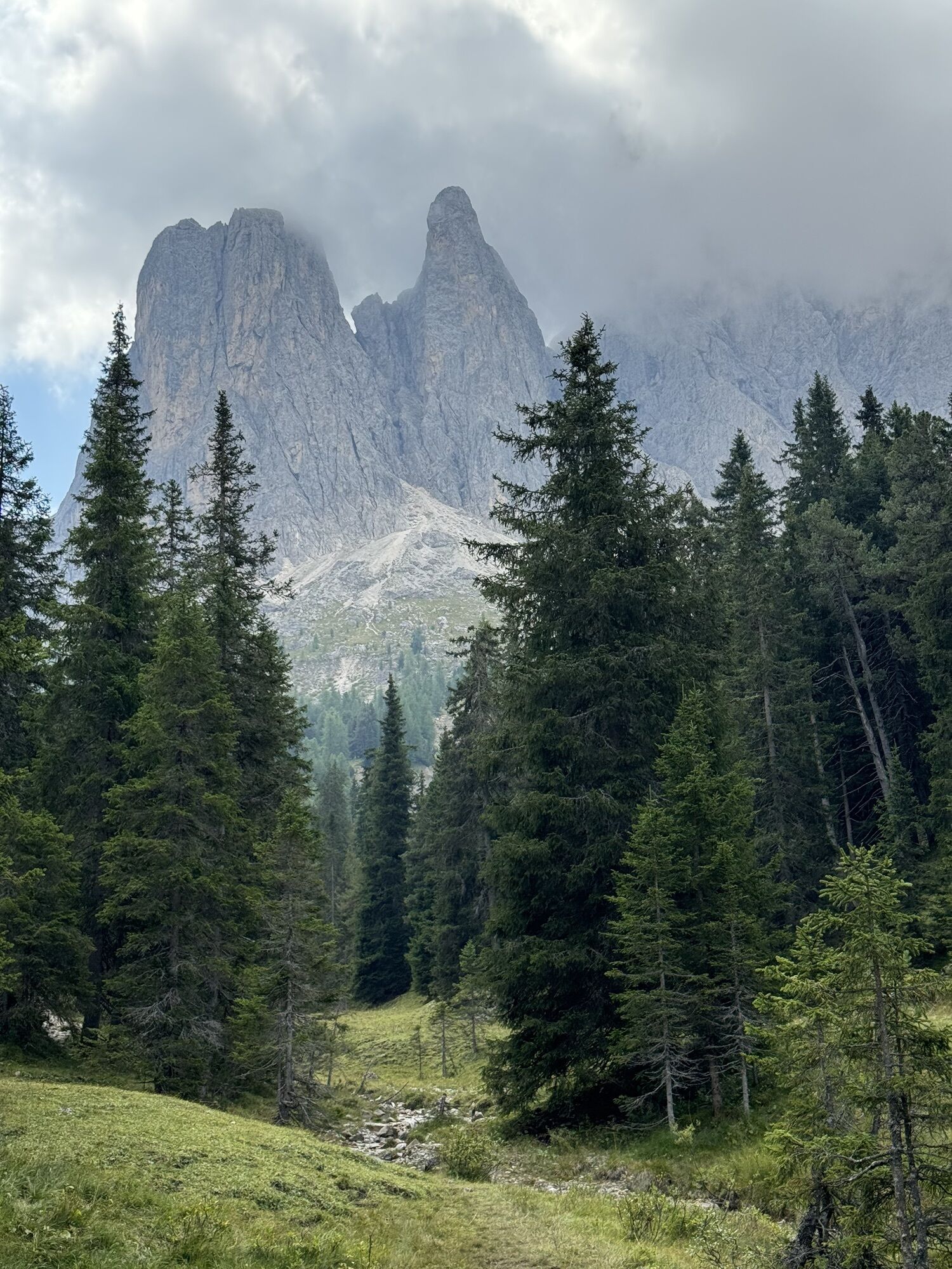
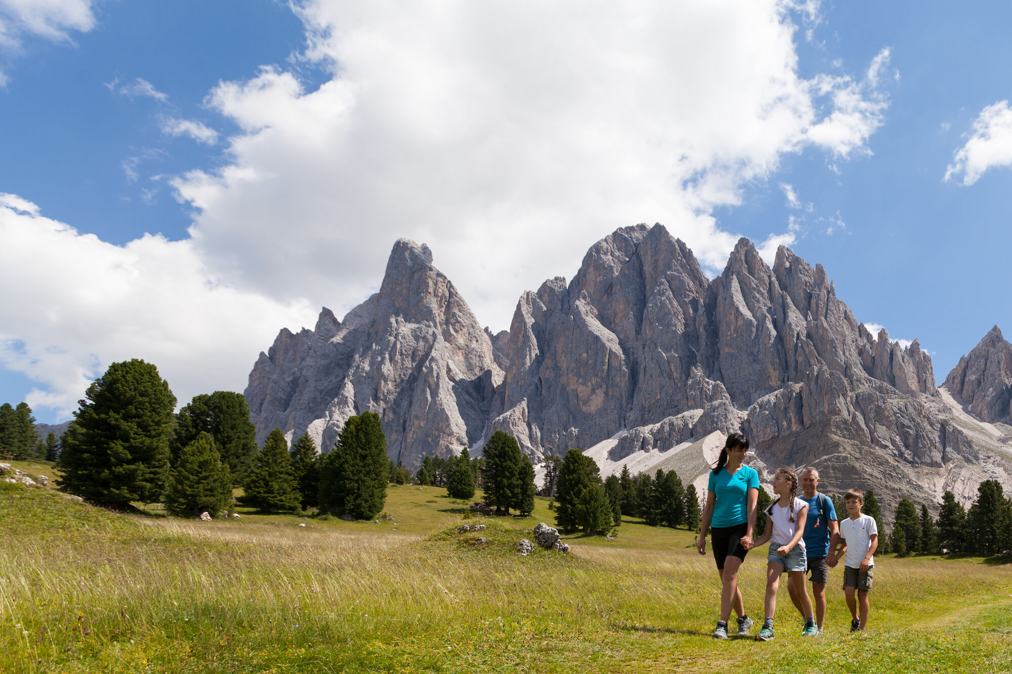
From the car park at the Zanseralm mountain hut (1,680 m) in the Villnösstal Valley, follow the signs to the Zans Nature Trail (Naturerlebnispfad Zans in German) past the Gasthof Sass Rigais Inn (1,689 m) and the Zanser Schwaige mountain hut. Ascend trail no. 32 through a gentle forest track to the right bank of the Tschantschenonbach torrent. At the crossing take the trail to the Gampenalm mountain hut and take a right turn. Just past the bridge turn left over the Tschantschenonbach and follow the sign to the Adolf-Munkel-Weg Trail no. 35. Established in 1905, the hiking trail takes its name from the founder and chairman of the Dresden Section of the German and Austrian Alpine Association.
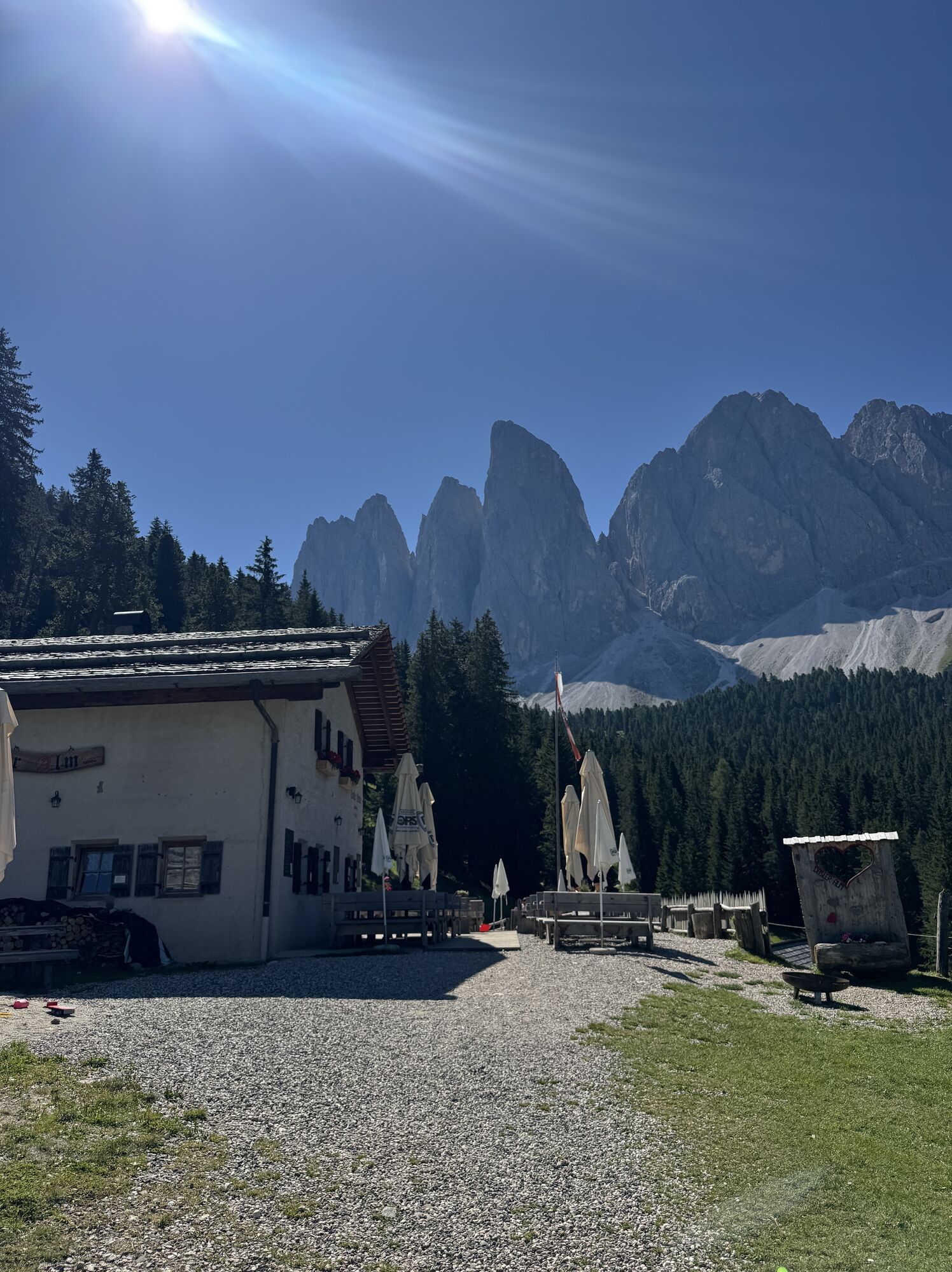
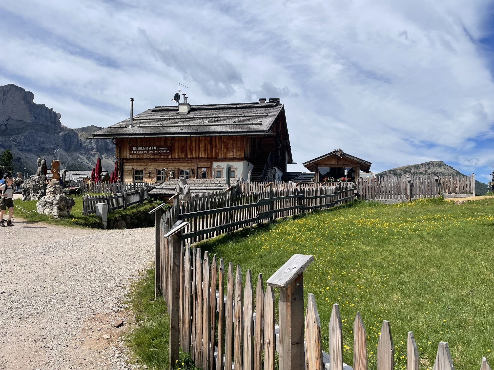
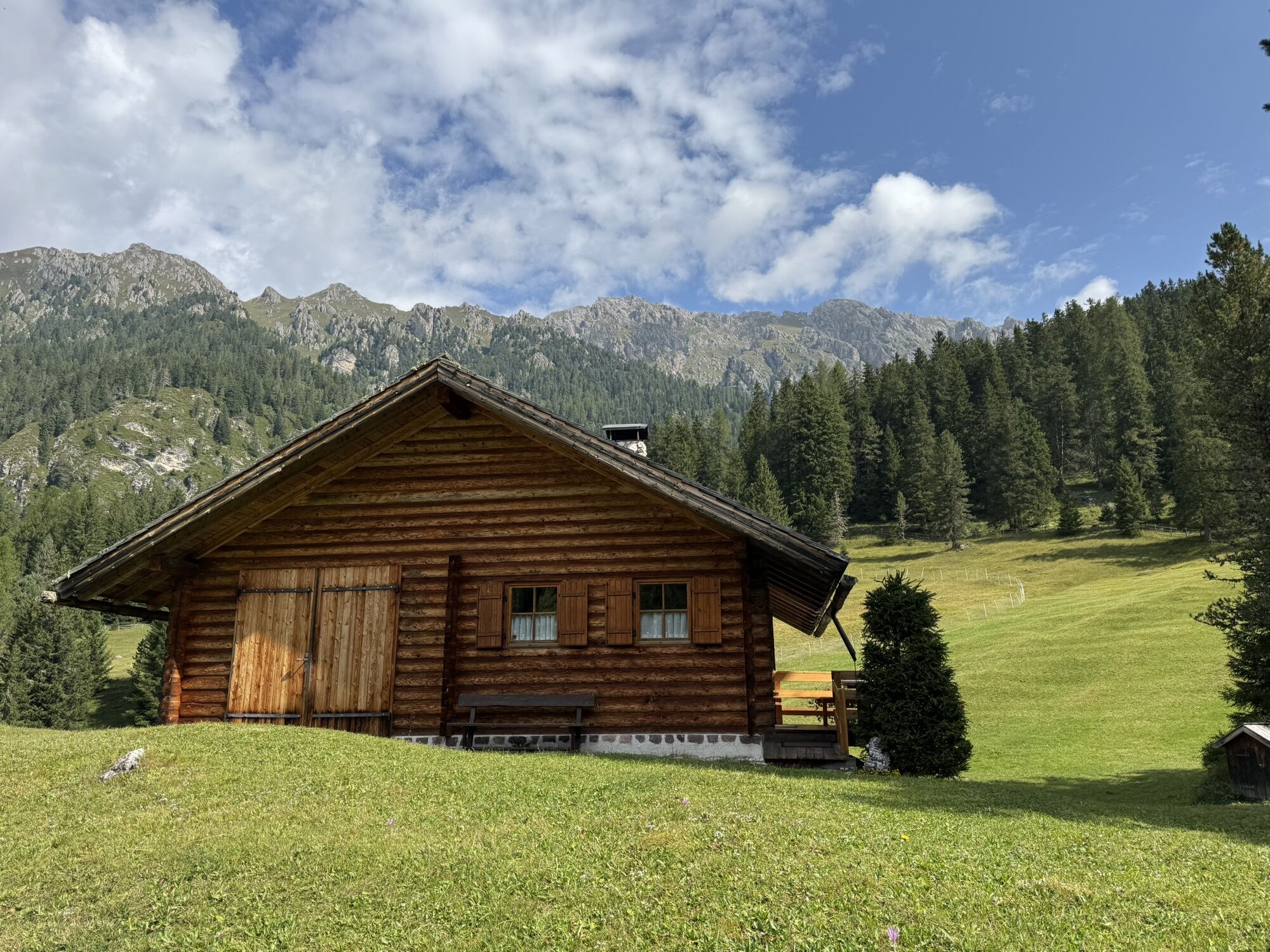
After passing the Adolf-Munkel memorial, the trail bears right to the Gschnagenhardtalm and Geisleralm mountain huts. Descend down through scenic pastures to the Gschnagenhardtalm (2,006 m) and to the Geisleralm (1,996 m).
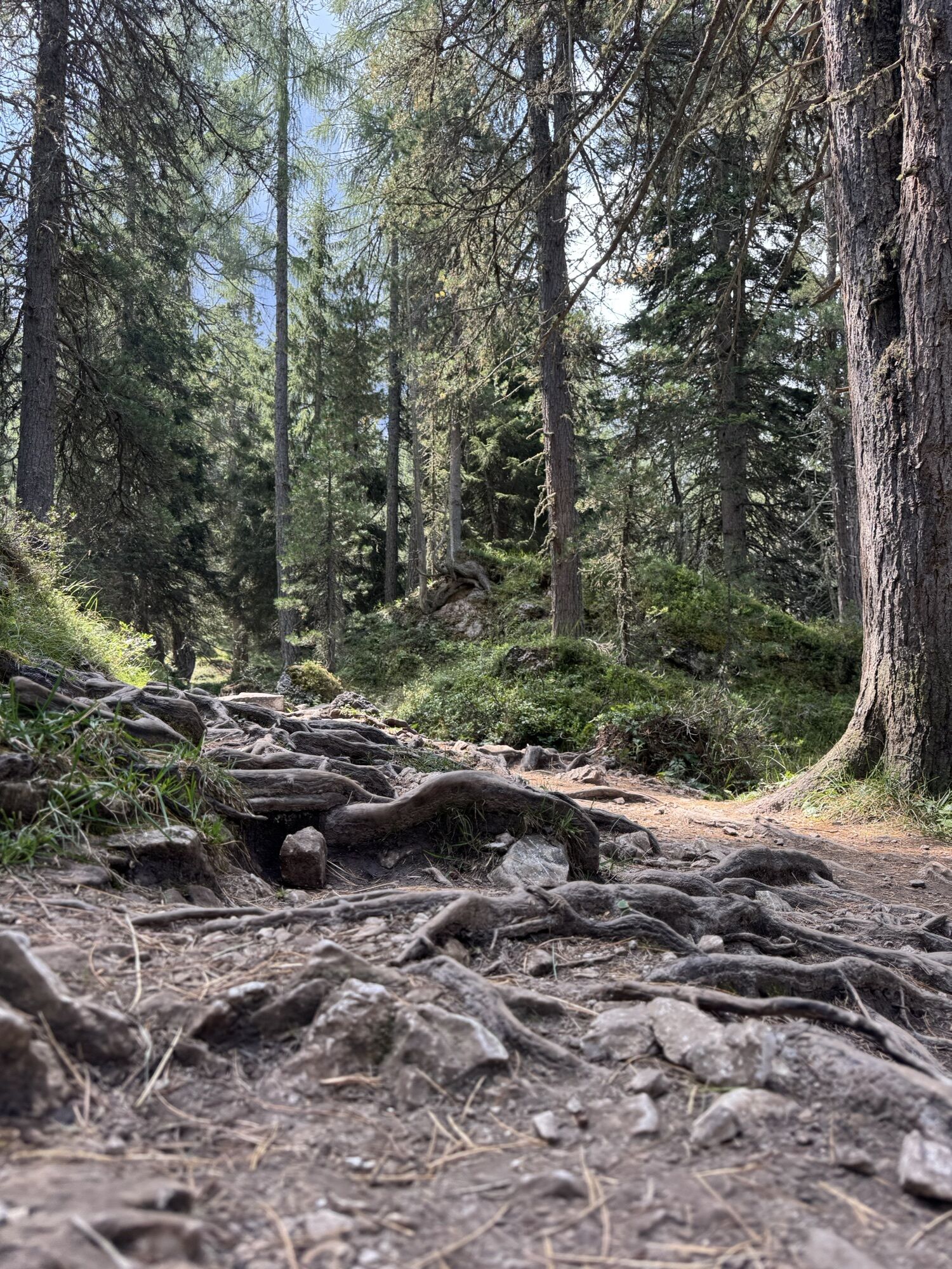
To return, follow trail no. 36 to Duslerhütte – Zans below the Geisleralm playground. The wide track leads gently downhill to the Dusleralm (1,782 m) past a fork to the right towards Zans. Shortly after, the trail continues along an almost flat forest path that leads back to the car park in Zans.


Áno





Aktivity počas prehliadky
-

Villnöß - Funes, Trentino-Alto Adige/Südtirol/Italia
08.08.2026 – Turistika -

Villnöß - Funes, Trentino-Alto Adige/Südtirol/Italia
05.08.2026 – Turistika -
Villnöß, Trentino-Südtirol/Italien
20.07.2026 – Turistika -

Villnöß - Funes, Trentino – Alto Adige/Südtirol/Italy
16.07.2026 – Turistika -
Villnöß, Trentino-Südtirol/Italien
11.07.2026 – Turistika -

Villnöß - Funes, Trentino – Alto Adige/Südtirol/Italy
07.07.2026 – Turistika -
Villnöß, Trentino-Südtirol/Italien
30.06.2026 – Turistika -

Villnöß, Trentino-Südtirol/Italien
28.06.2026 – Turistika -
Villnöß - Funes, Trentino – Alto Adige/Südtirol/Italy
28.06.2026 – Turistika -
Villnöß - Funes, Trentino-Alto Adige/Südtirol/Italia
25.06.2026 – Turistika -
Villnöß, Trentino-Südtirol/Italien
24.06.2026 – Turistika -
Villnöß - Funes, Trentino-Alto Adige/Südtirol/Italia
21.06.2026 – Turistika -
Villnöß - Funes, Trentino-Alto Adige/Südtirol/Italia
07.06.2026 – Turistika -
Villnöß - Funes, Trentino-Alto Adige/Südtirol/Italia
07.06.2026 – Horská turistika -

Villnöß - Funes, Trentino – Alto Adige/Südtirol/Italy
07.06.2026 – Turistika -
Villnöß, Trentino-Südtirol/Italien
29.05.2026 – Turistika -
Villnöß, Trentino-Südtirol/Italien
28.05.2026 – Skitour -

Adolf-Munkel Weg Geisleralm
24.05.2026 – Turistika -
Villnöß, Trentino-Südtirol/Italien
20.05.2026 – Turistika -

Villnöß, Trentino-Südtirol/Italien
16.05.2026 – Turistika
Obľúbené výlety v okolí
-
4,8
Peitlerkofel hiking circuit
strednáTuristika 12,9 km -
4,7
Pordoi Pass - Sass Pordoi - Forcella Pordoi - Piz Boè - Boè Refuge - Forcella Pordoi - Pordoi Pass
ťažkéTuristika 8,39 km -
4,2
The Brixen High Mountain Trail on the Plose Mountain
strednáTuristika 10,9 km -
5,0
Langkofel Klettersteig/Ferrata Furcela de Saslonch
ťažkéVia ferrata 7,07 km -
5,0
Um den Langkofel
strednáTuristika 9,76 km -
4,0
Der Friedrich-August-Weg
strednáTuristika 10,4 km -
4,9
Lang- und Plattkofel Umrundung
strednáTuristika 17,5 km -
4,8
Langkofel-Umrundung
strednáTuristika 12,9 km -
4,8
Vom Col Raiser über die Seceda und Pieralongia zur Regensburger Hütte
strednáTuristika 10,4 km -
4,7
Puflatsch Umrundung
svetloTuristika 8,37 km
Turistika a stopovanie


Nenechajte si ujsť ponuky a inšpiráciu na ďalšiu dovolenku
Vaša e-mailová adresa bol pridaný do poštového zoznamu.





