






Nordic Uphill Leiter Alm mountain hut
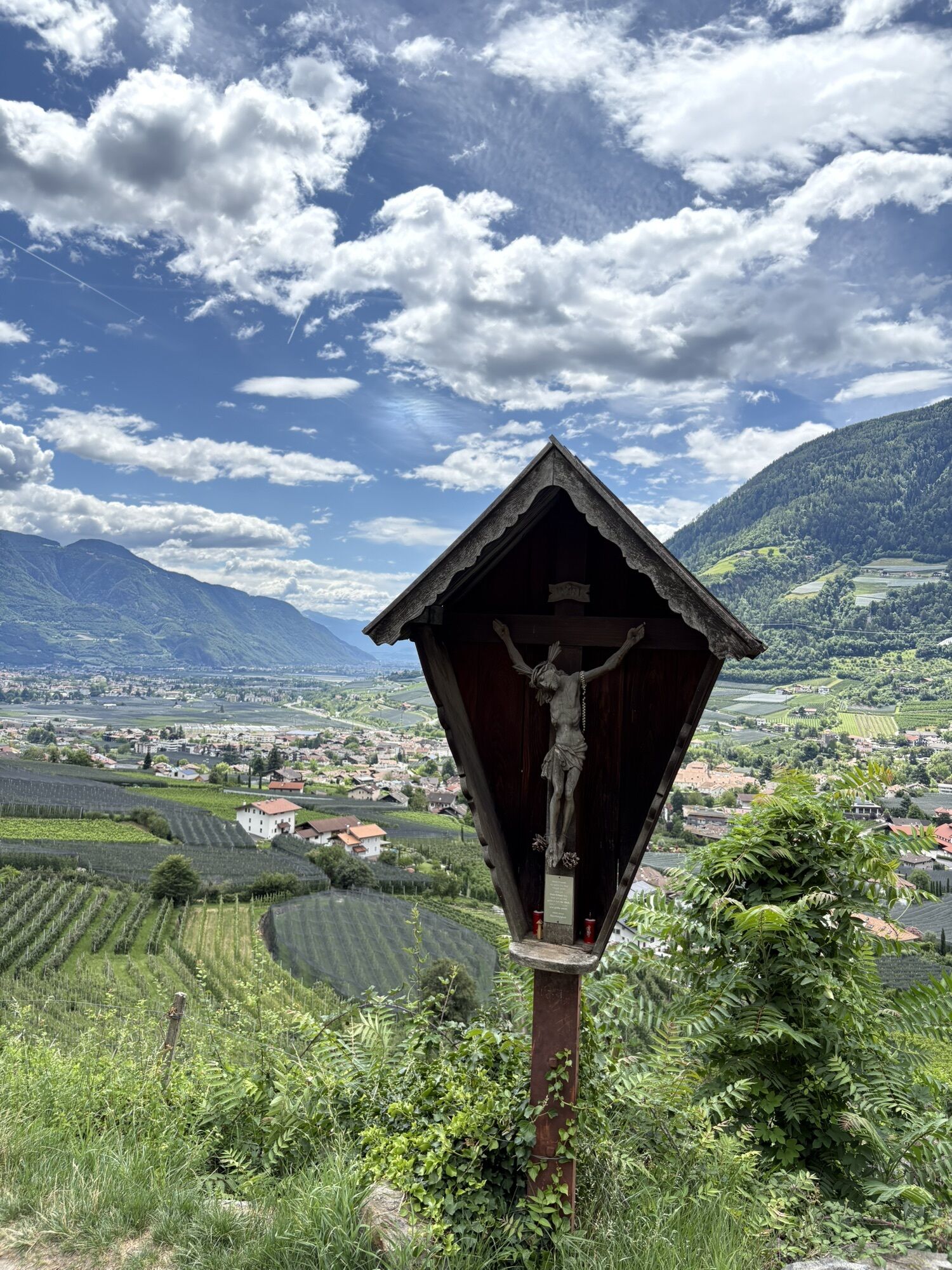
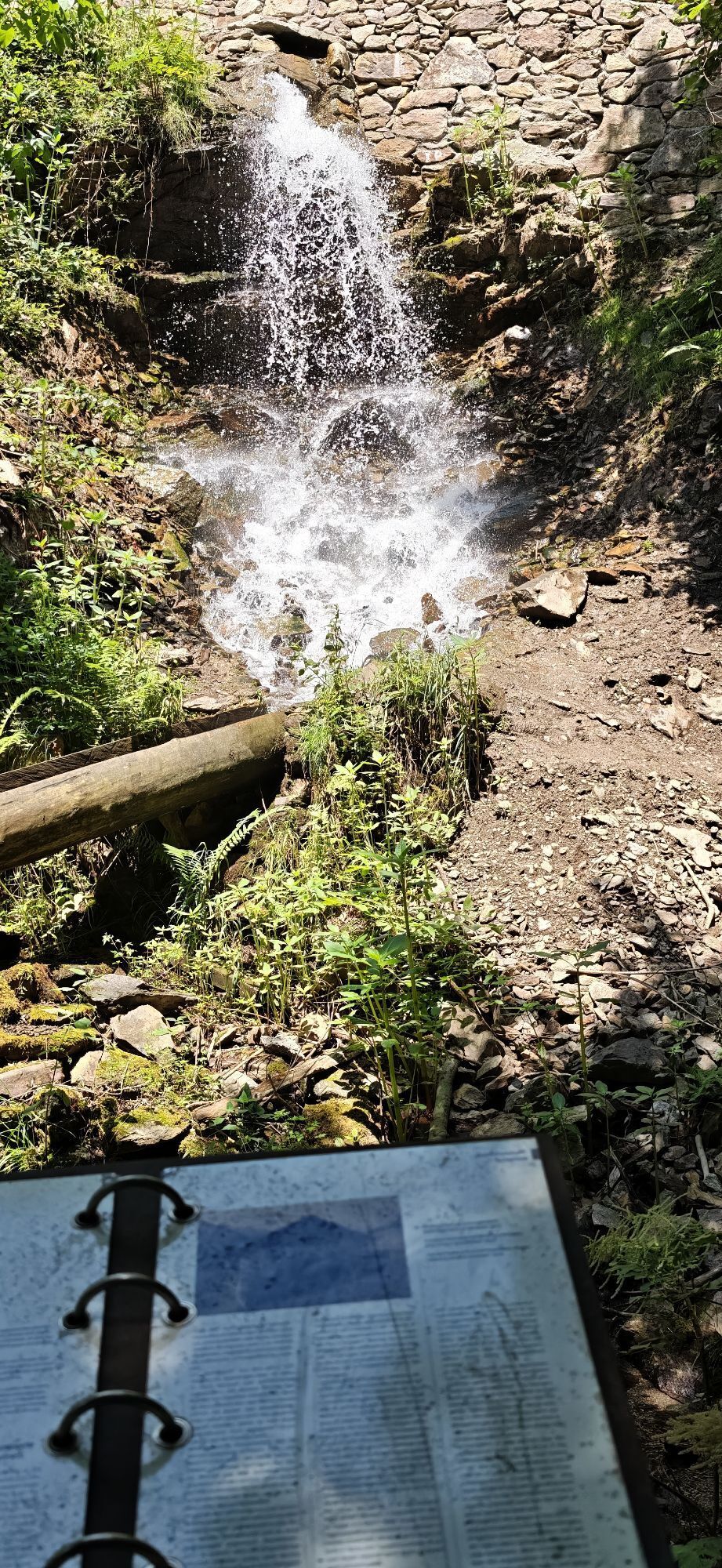
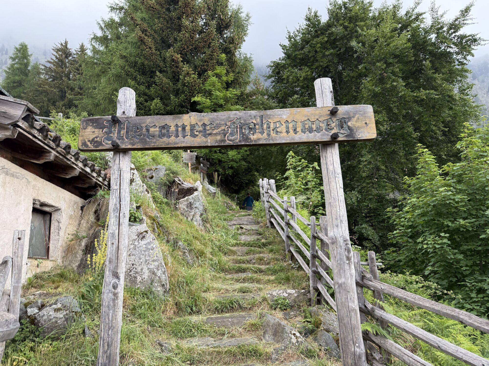
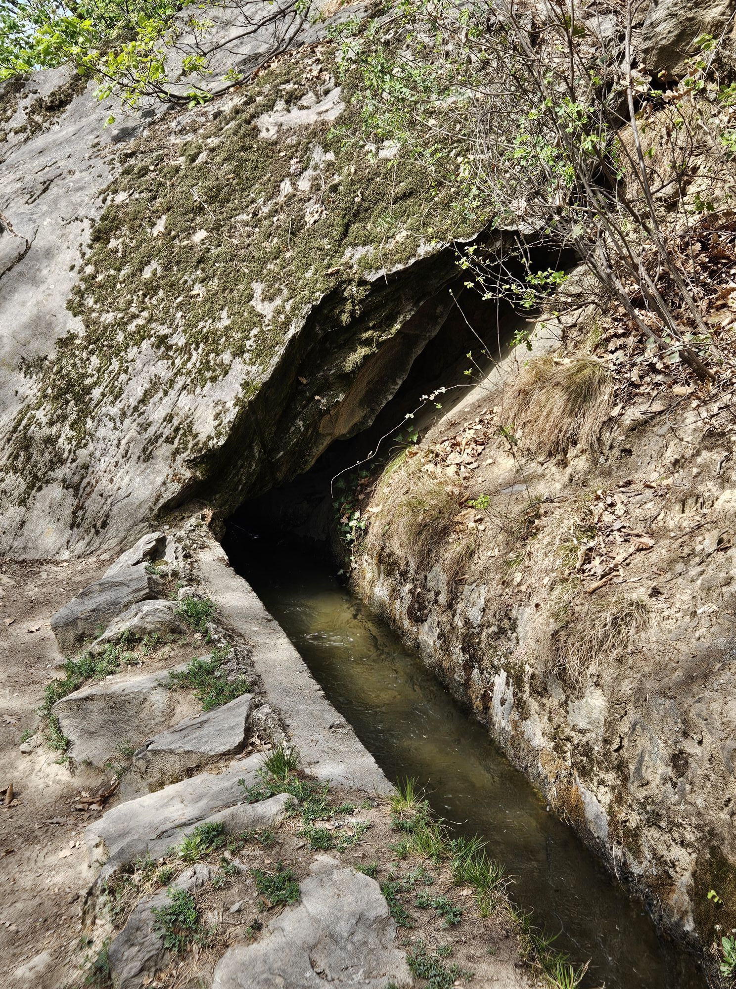
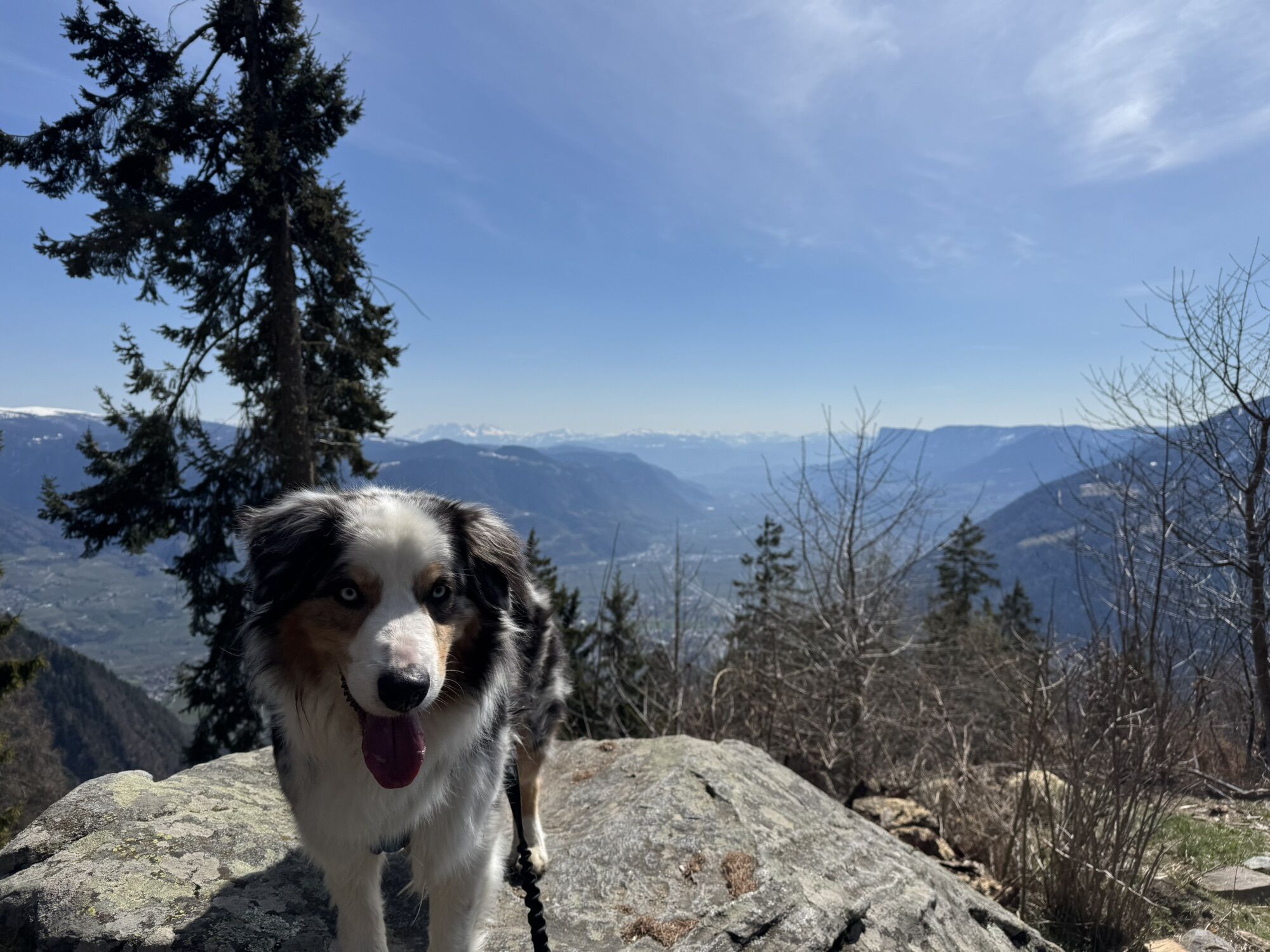
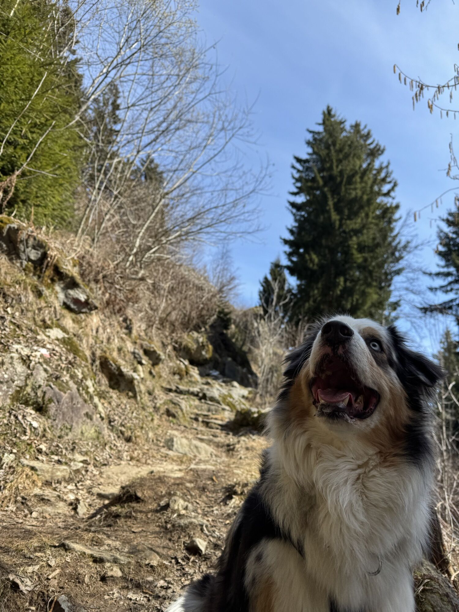
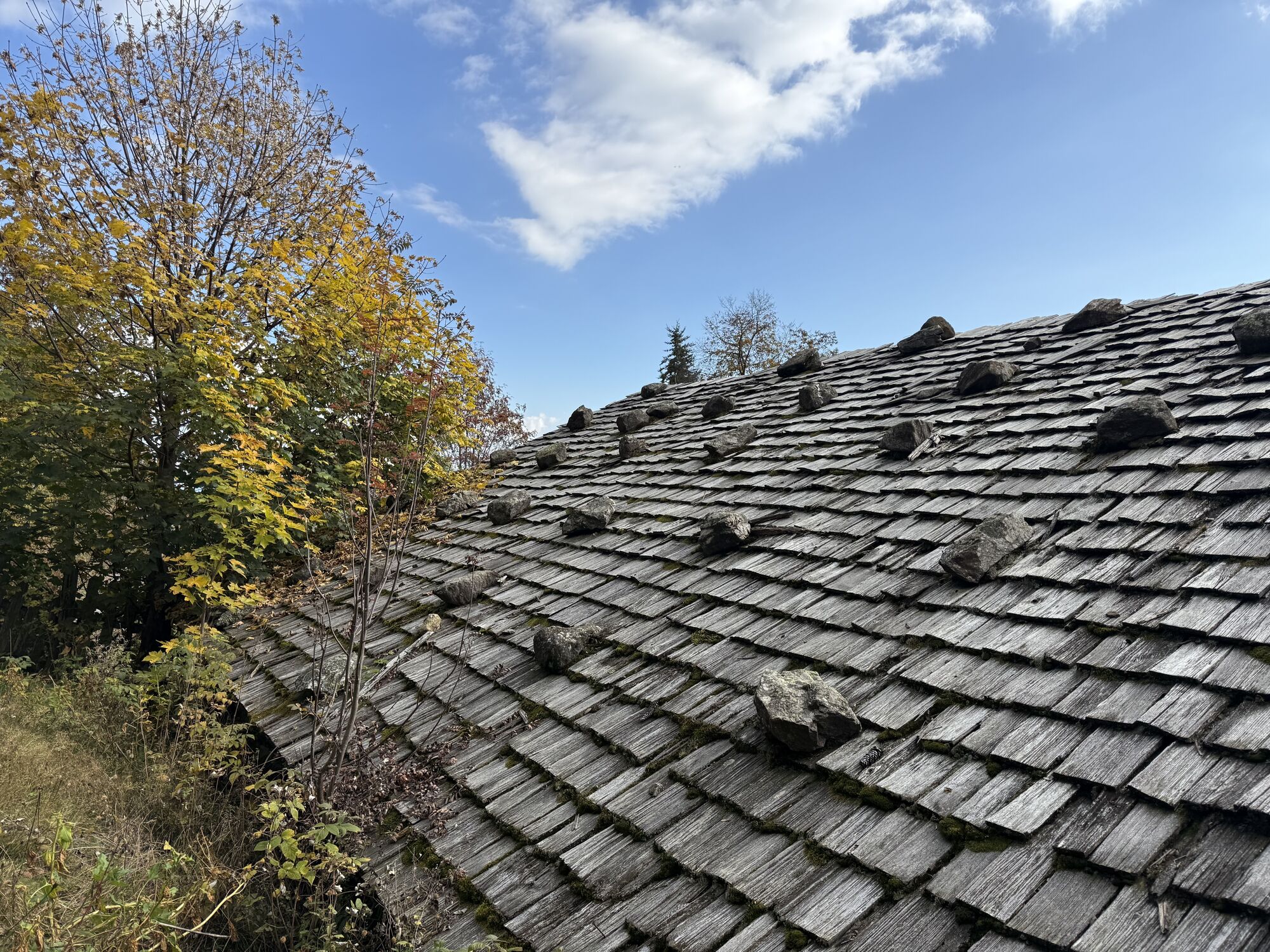
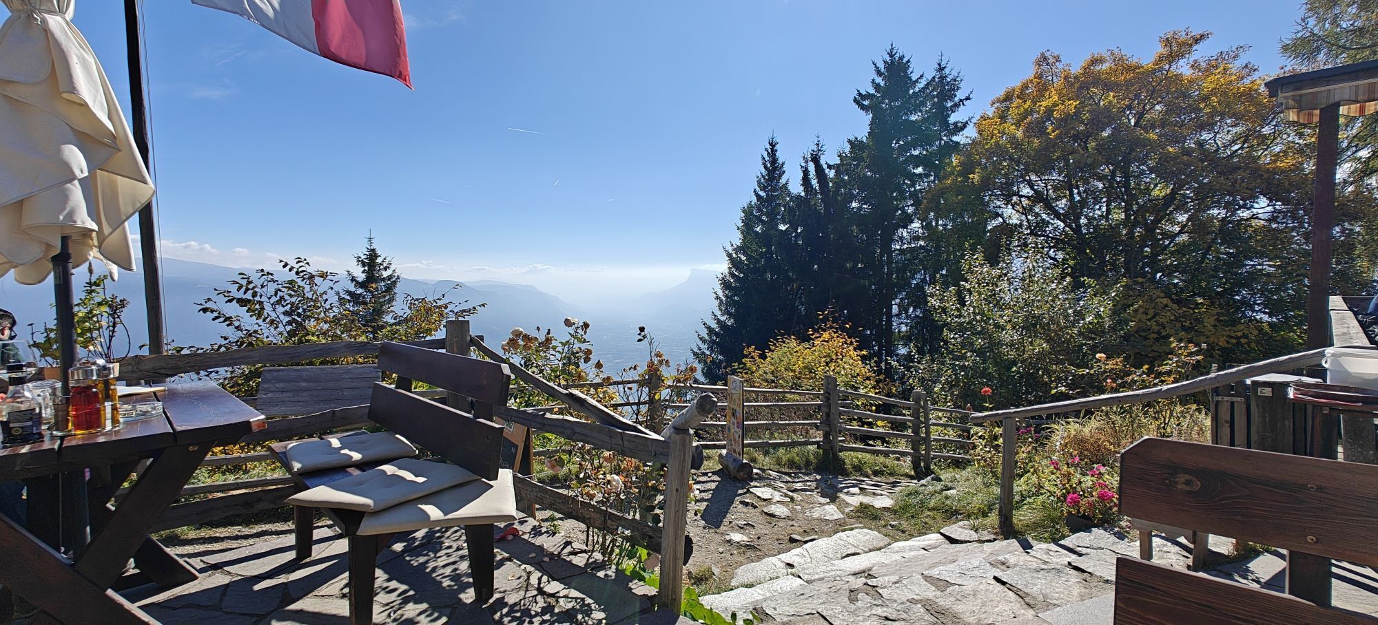
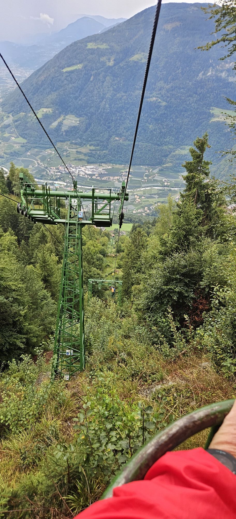
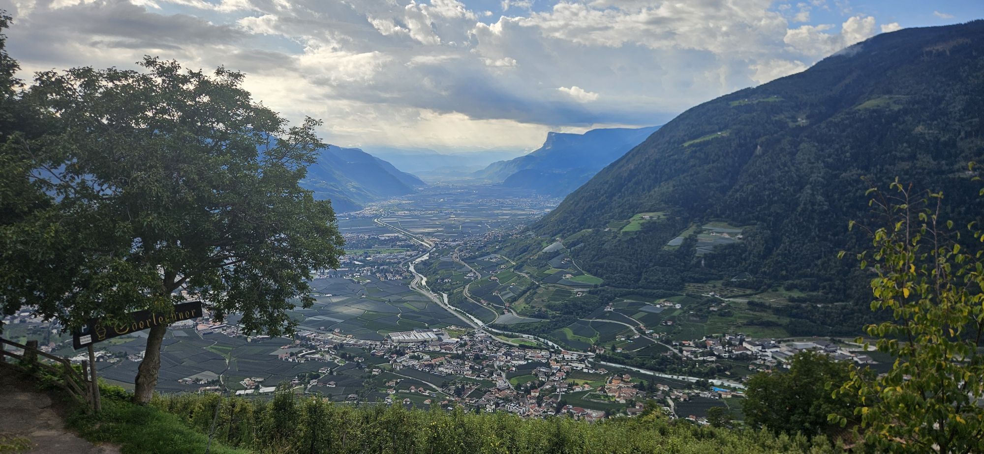
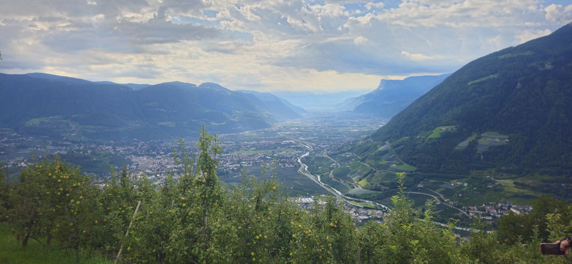
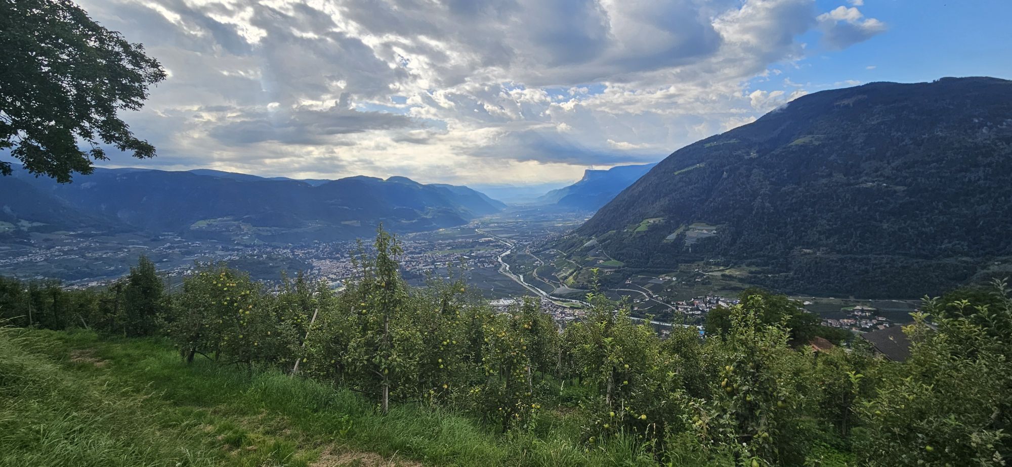
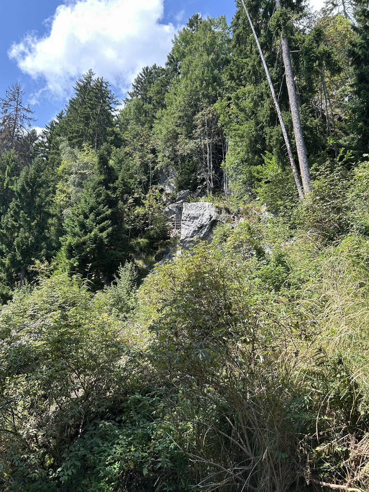
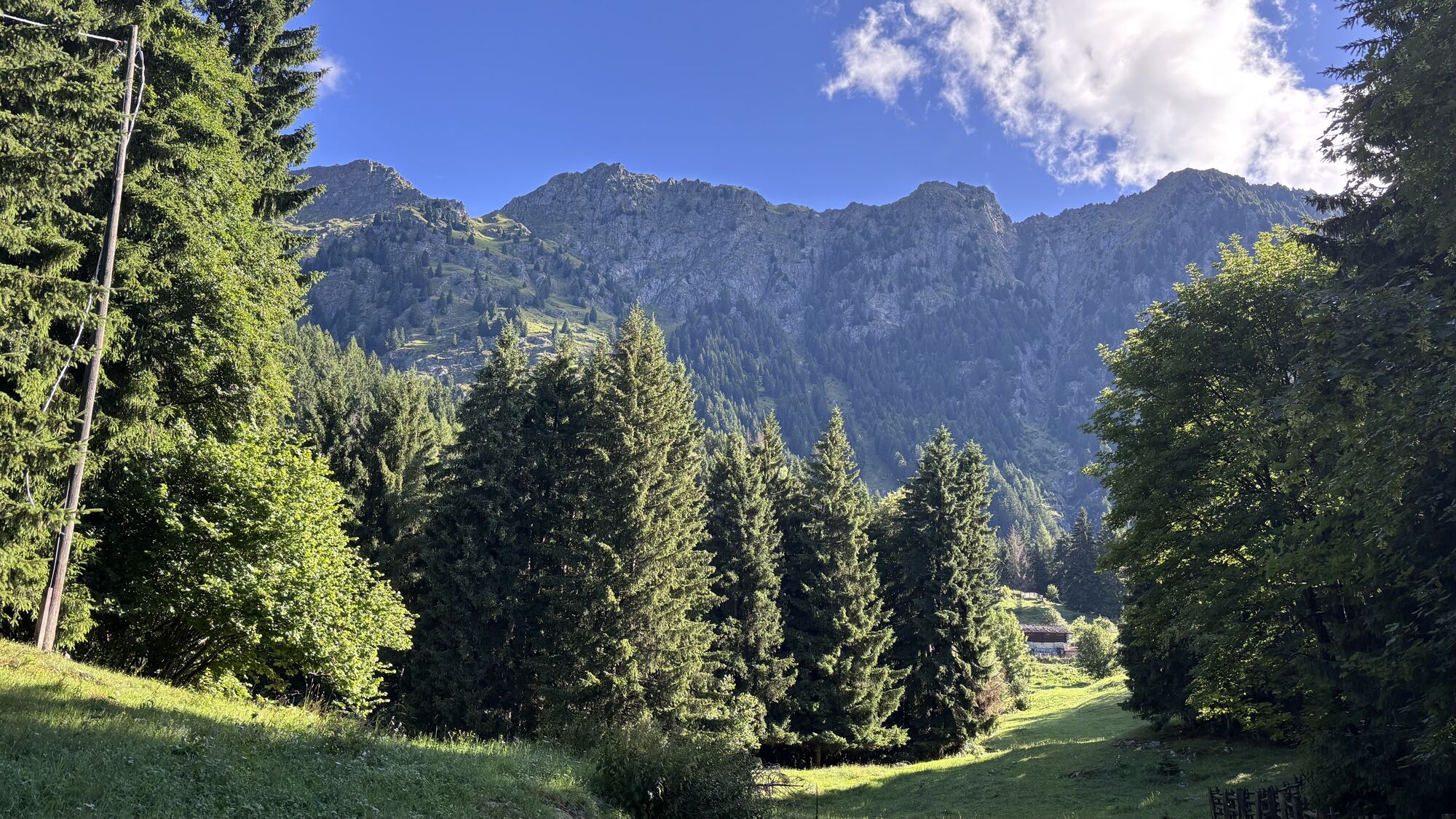
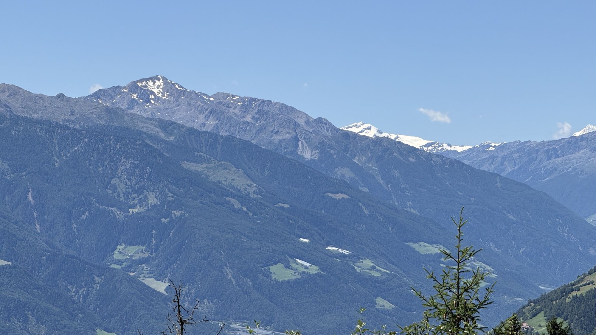
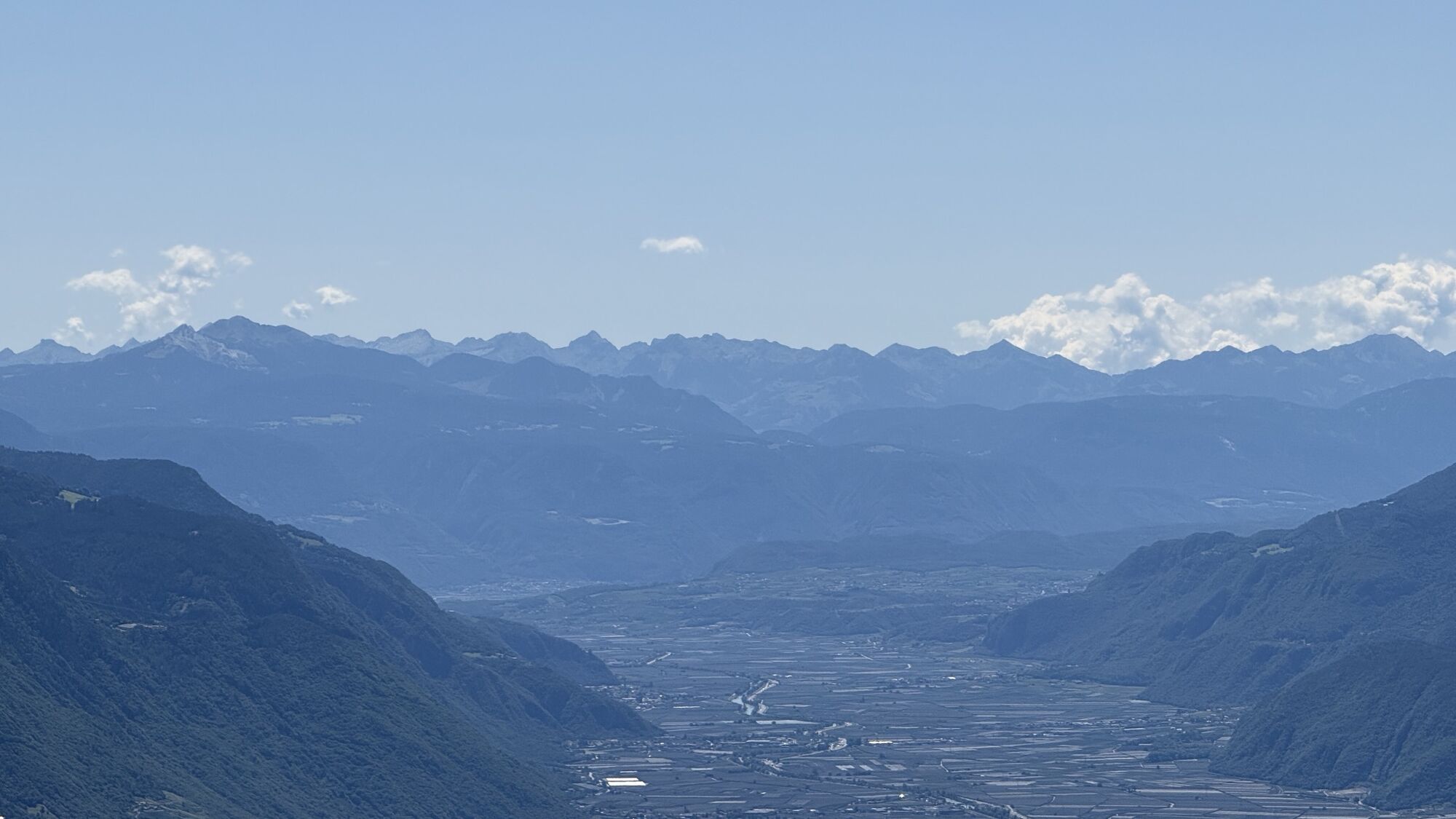
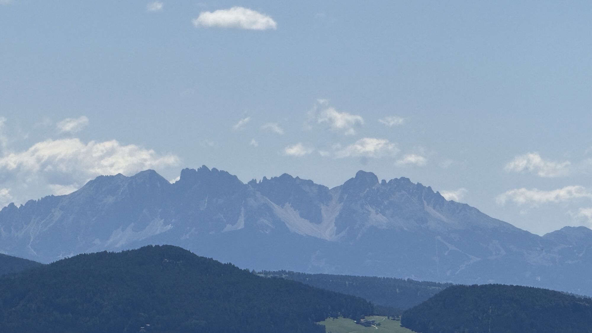
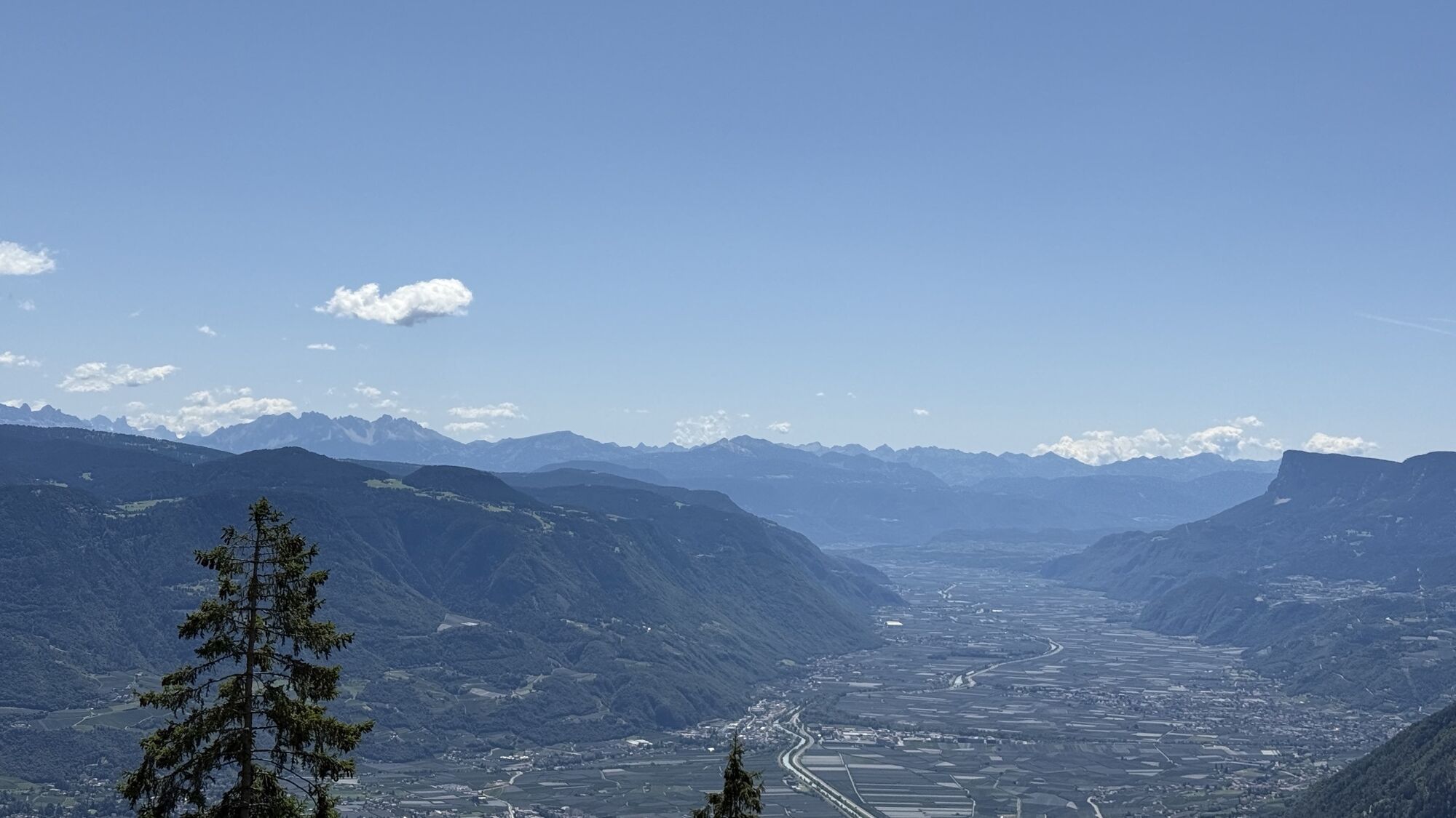
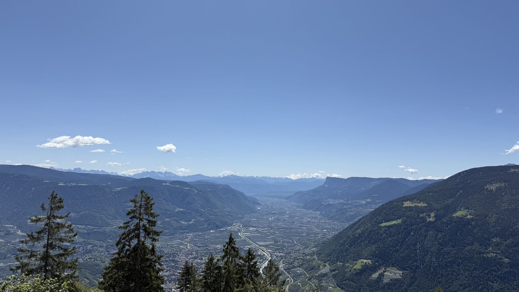
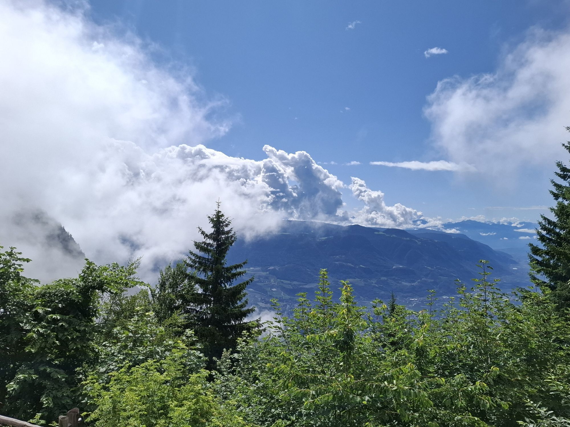
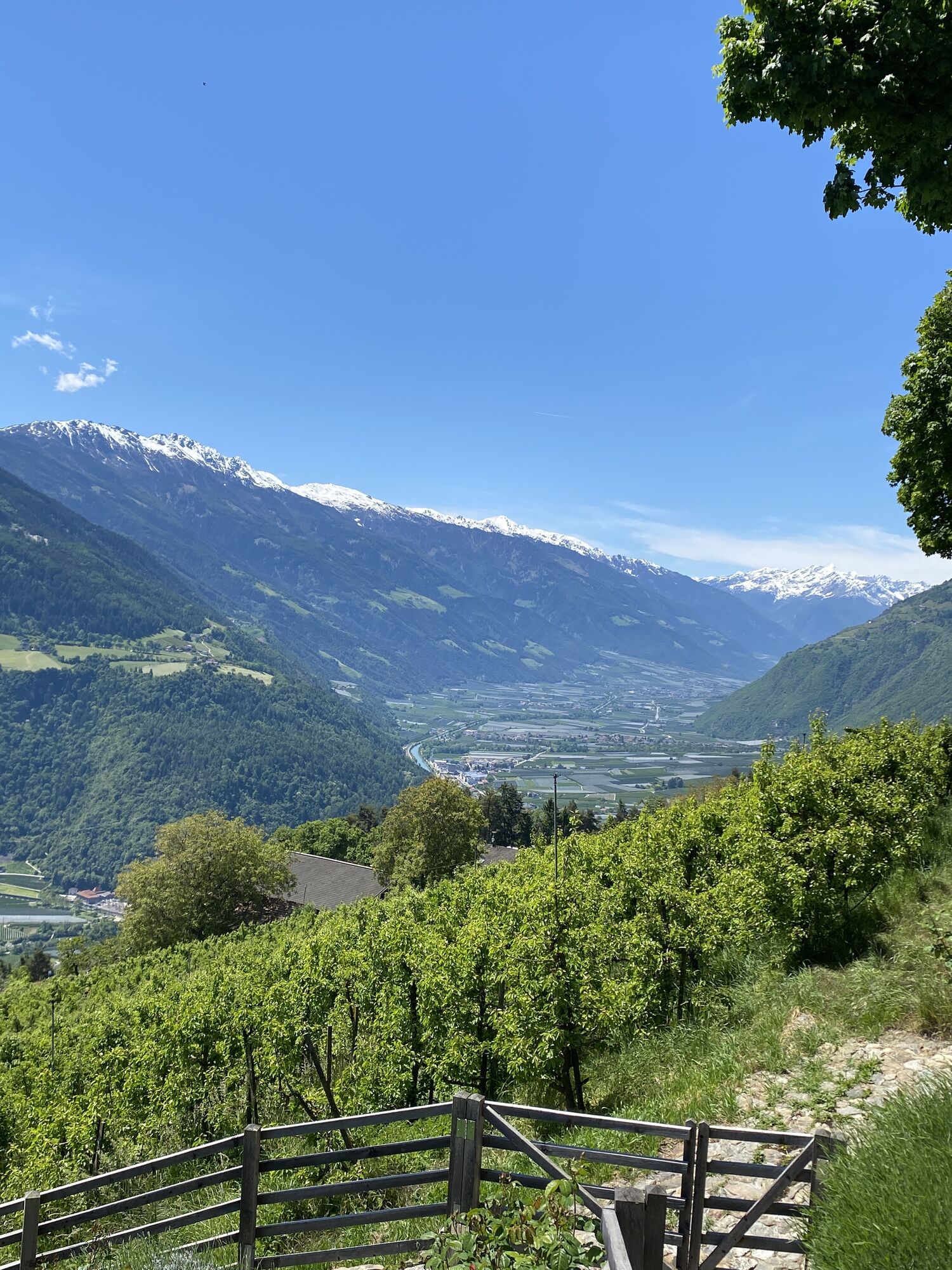

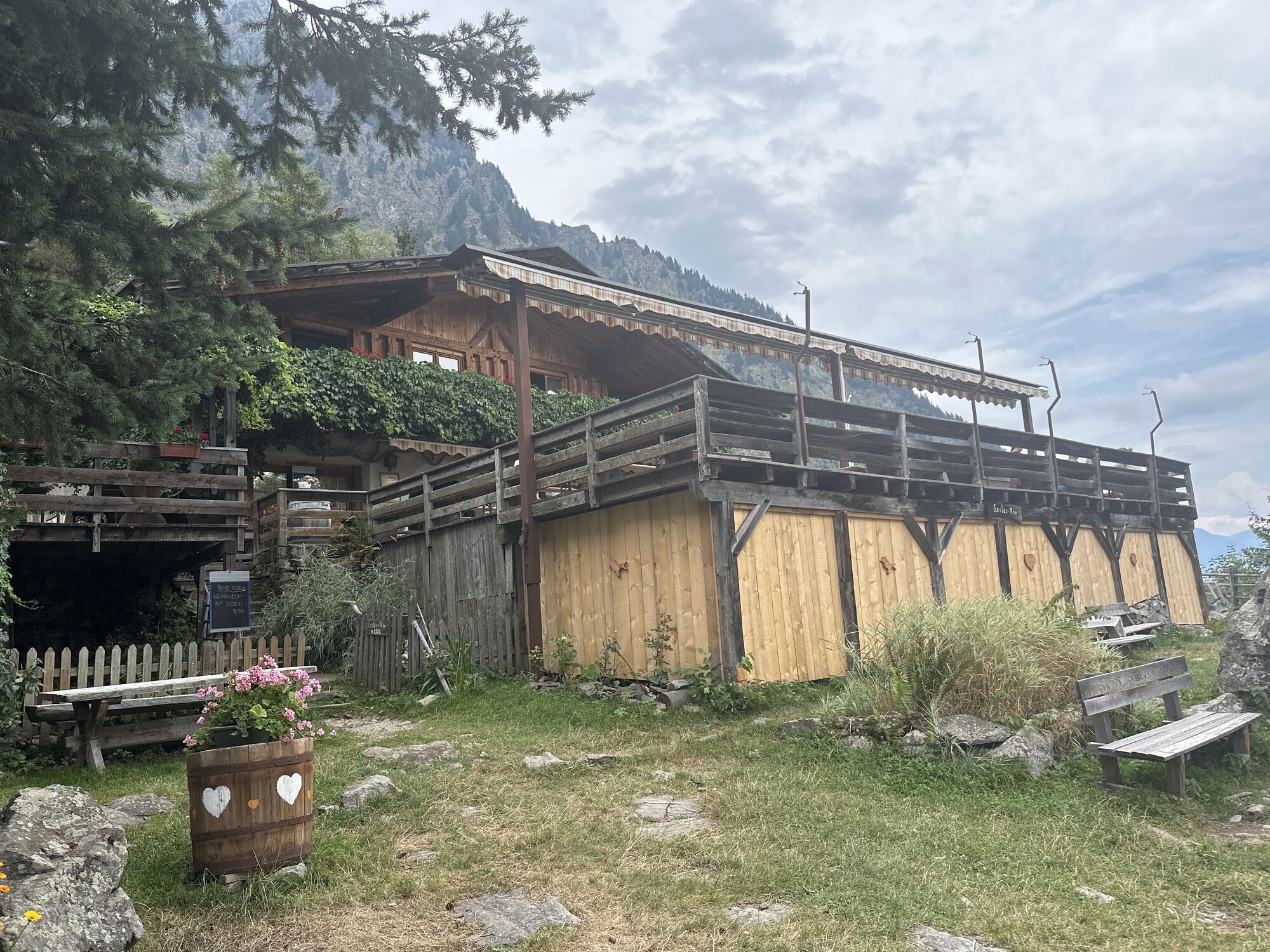
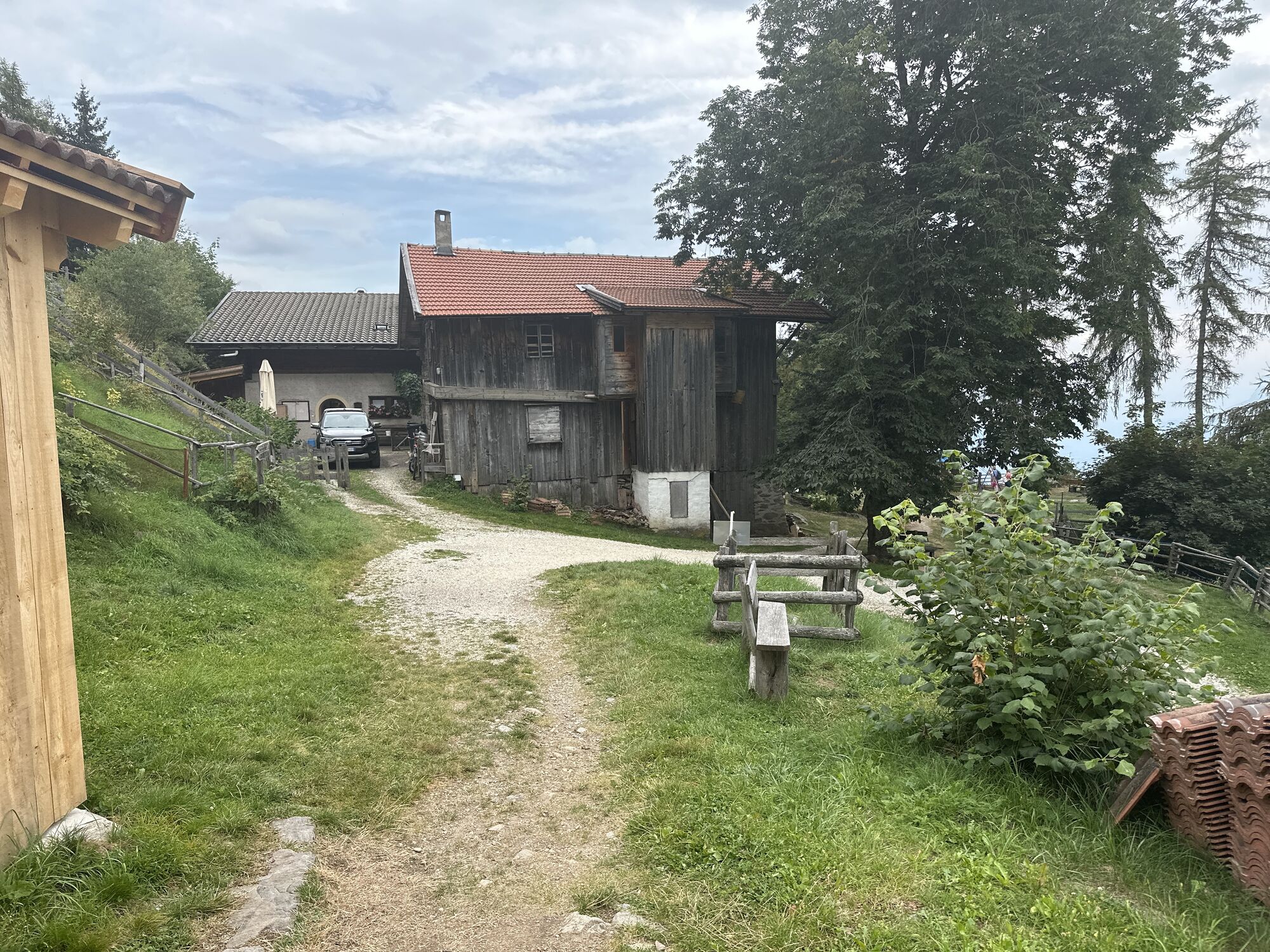
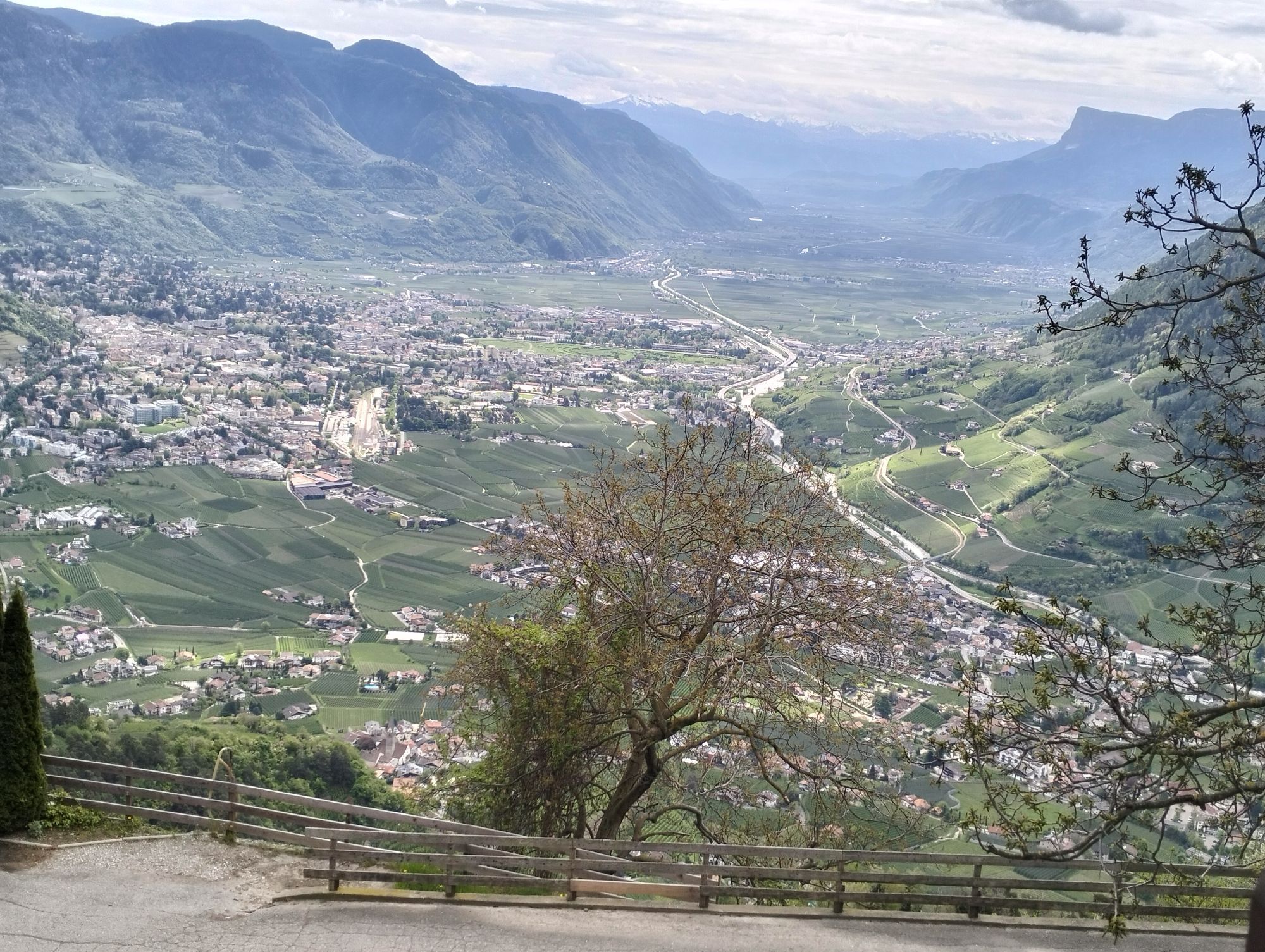
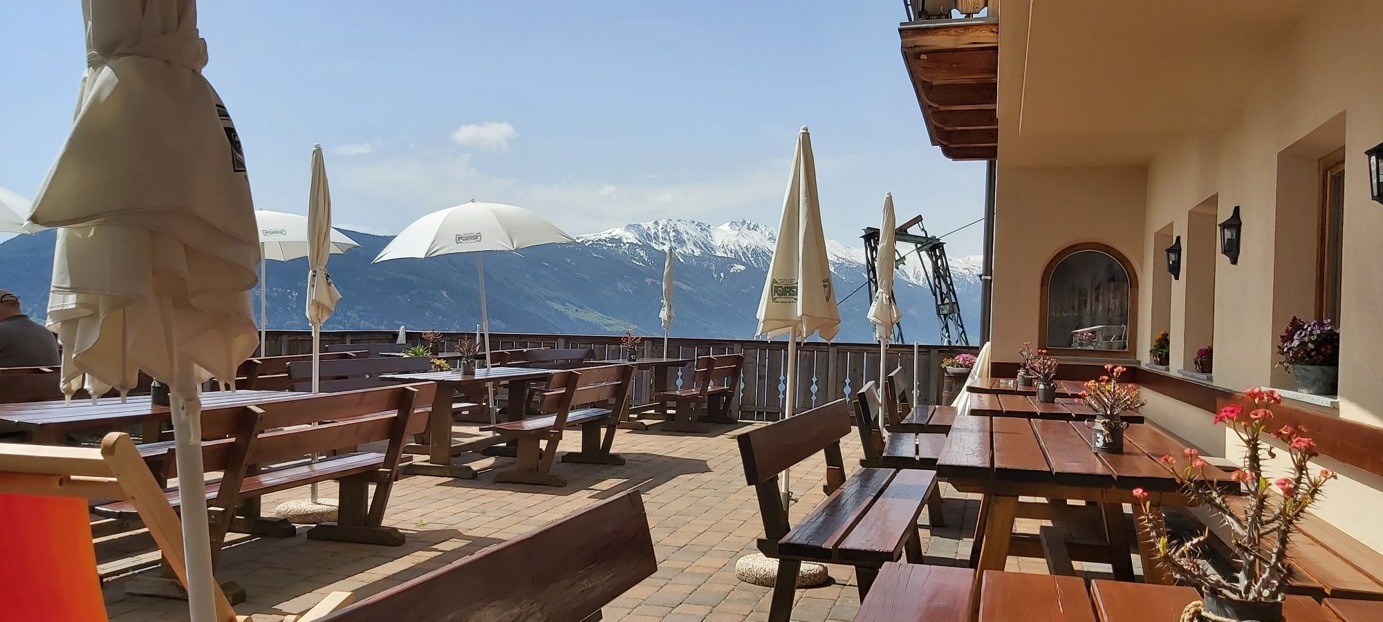
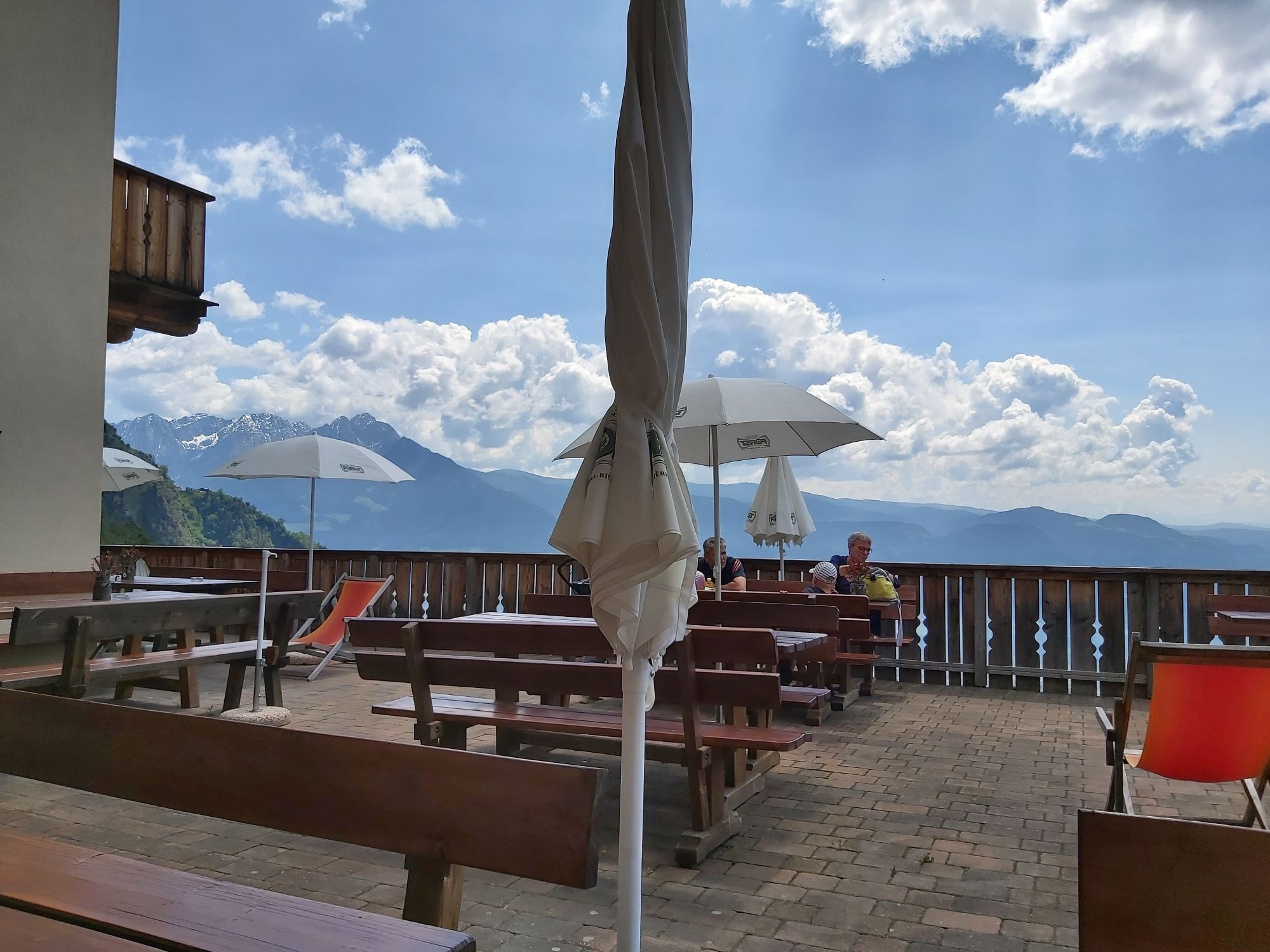
From the centre of Algund/Lagundo (near the new parish church), trail no. 25A leads to Café Konrad. Proceed along the same trail until the Schlundenstein natural monument and then along trail no. 21 to...
From the centre of Algund/Lagundo (near the new parish church), trail no. 25A leads to Café Konrad. Proceed along the same trail until the Schlundenstein natural monument and then along trail no. 21 to Vellau/Velloi, where you take trail no. 26 up to the Kienegger and Oberplatzer inns. Continue along trail no. 25A to the mountain station of the gondola basket lift Vellau/Velloi-Leiter Alm mountain hut just below the mountain hut. Return by gondola basket lift to Vellau/Velloi and then by chair lift to Mitterplars/Plars di Mezzo-Algund/Lagundo or on foot by following the same route until Vellau/Velloi before taking the Saxnerweg trail no. 26A to Oberplars/Plars di Sopra, Mitterplars/Plars di Mezzo and Algund/Lagundo.


Restaurant Leiter Alm, Kienegger, Oberplatzer
Áno
Áno
Áno
We recommend stable, ankle-high hiking or mountain boots with non-slip sole, sun and rain protection, cold protection (windbreaker, cap, gloves), spare clothes, enough to drink, something to eat, hiking map, first aid package, mobile phone with charged battery and safety equipment (crampons, ice axes, rope, safety devices, etc.) if necessary
Parkplatz im Zentrum von Algund, gegenüber vom Rathaus(gebührenpflichtig).

Webové kamery z prehliadky
-
Marling bei Meran
-
Quadrat / Niederhof
-
Dorf Tirol - Kirche Sankt Peter
-
Dorf Tirol - Kirche Sankt Peter
-
Schenna
-
Schenna
-
Schenna Resmairhof
-
Schenna - Hotel Erzherzog Johann
-
Partschins - Texelbahn
-
Meran Hochmuth
-
Meran
-
Südtirol – Hotel Vinea
-
Panoramakamera Marling
-
Schenna Ortszentrum
-
Hotel Therme
-
Saxifraga
-
Blick auf Algund - Buchlechenhof
-
Blick auf Algund - Altes Dorf
Získajte prehľad
Vždy naživo na mieste s viac ako 9 500 webovými kamerami. bergfex Ako používateľ Pro si teraz môžete pozrieť príslušné webové kamery pre mnohé zájazdy v aplikácii zájazdy z. Môžete si tak priamo prezerať aktuálne podmienky.
Obľúbené výlety v okolí
-
4,7
Algund Waalweg canal trail
svetloTuristika 4,45 km -
4,6
Aschbach / Rio Lagundo – Naturnser Alm mountain pasture - Vigiljoch/San Vigilio
strednáTuristika 10,3 km -
4,3
Vorderkaser - Eishof / Texelgruppe
svetloTuristika 4,83 km -
4,9
Hirzer Almenrunde
svetloHorská turistika 9,02 km -
4,5
Leiter Alm mountain hut – Hochganghaus refuge - Gamplweg trail – Velloi
strednáTuristika 9,77 km -
5,0
From Algund/Lagundo to the Schlundenstein rock and Plars Waalweg canal trail to Parcines
svetloTuristika 10,7 km -
4,7
Naturns Unterstellbahn bis Texelbahn auf dem Meraner Höhenweg
strednáTuristika 9,77 km -
4,6
Leiteralm - Hochmuth - Vellau - Rundweg
svetloTuristika 5,89 km -
4,6
Meran Tappeinerweg
svetloTuristika 6,77 km -
4,6
SÜDTIROL | Kratzbergersee Meran 2000
svetloTuristika 10,3 km
Turistika a stopovanie


Nenechajte si ujsť ponuky a inšpiráciu na ďalšiu dovolenku
Vaša e-mailová adresa bol pridaný do poštového zoznamu.





