Navigácia na stránke
Získajte túto prehliadku v mobilnom telefóne
Mapa
Spronser Seen lakes: At the heart of the Texelgruppe Nature Park

ťažké
Turistika
15,13 km
Naskenujte kód QR a spustite navigáciu v aplikácii bergfex
QR Code
Turistika a stopovanie

Spronser Seen lakes: At the heart of the Texelgruppe Nature Park
Vzdialenosť
15,13 km
Trvanie
03:46 h
Ascent
993 hm
Hladina mora
1 484 - 2 577 m
Stiahnutie skladby
Mapa
Spronser Seen lakes: At the heart of the Texelgruppe Nature Park
ťažké
Turistika
15,13 km

Fotografie našich používateľov

The starting point of this tour is Pfelders/Plan (1,628 m) in the Passeiertal valley. Take trail no. 6 up to the Faltschnal Alm mountain hut, cross the Faltschnaltal valley and continue until the Faltschnaljöchl...

Opis

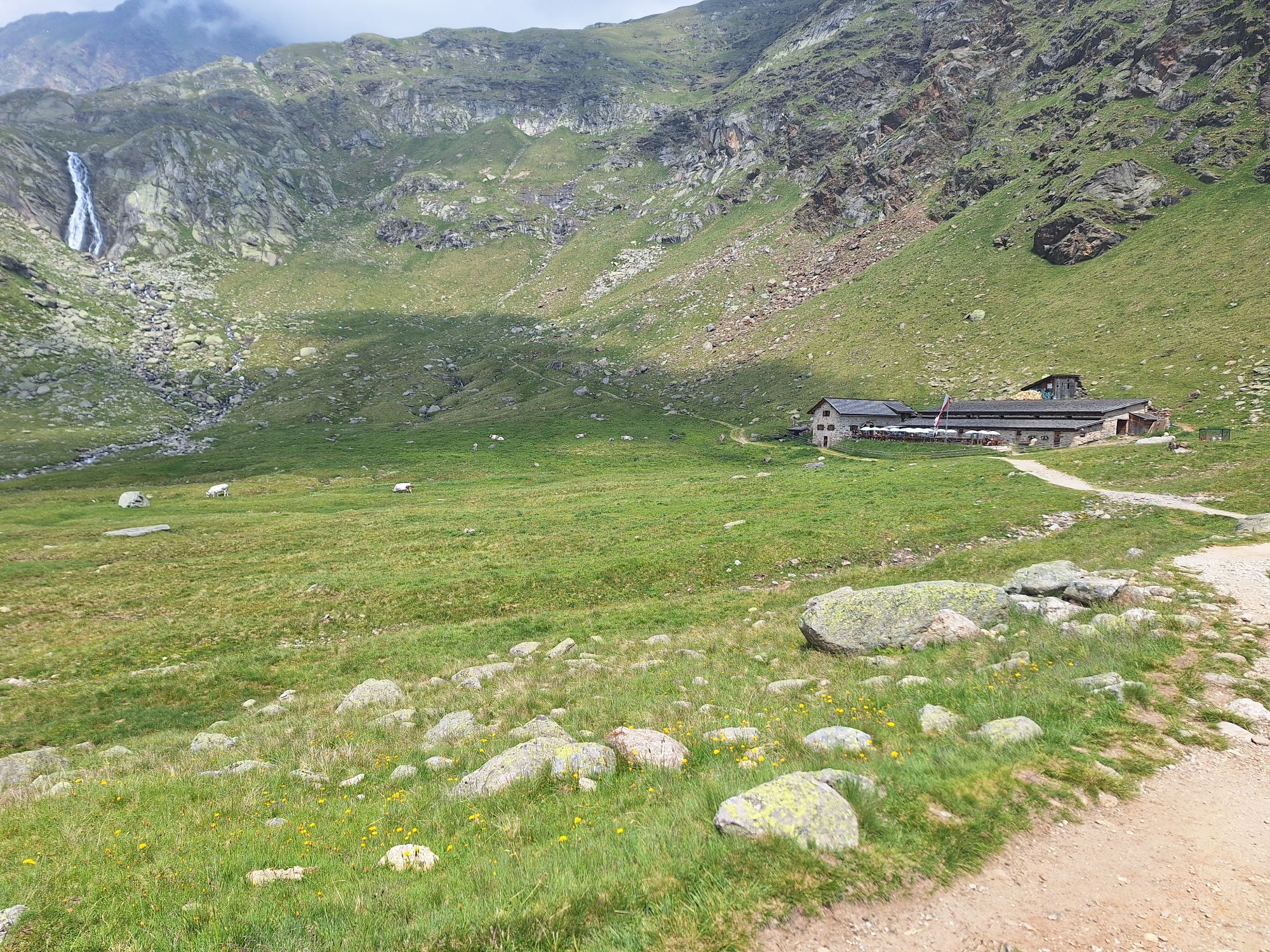
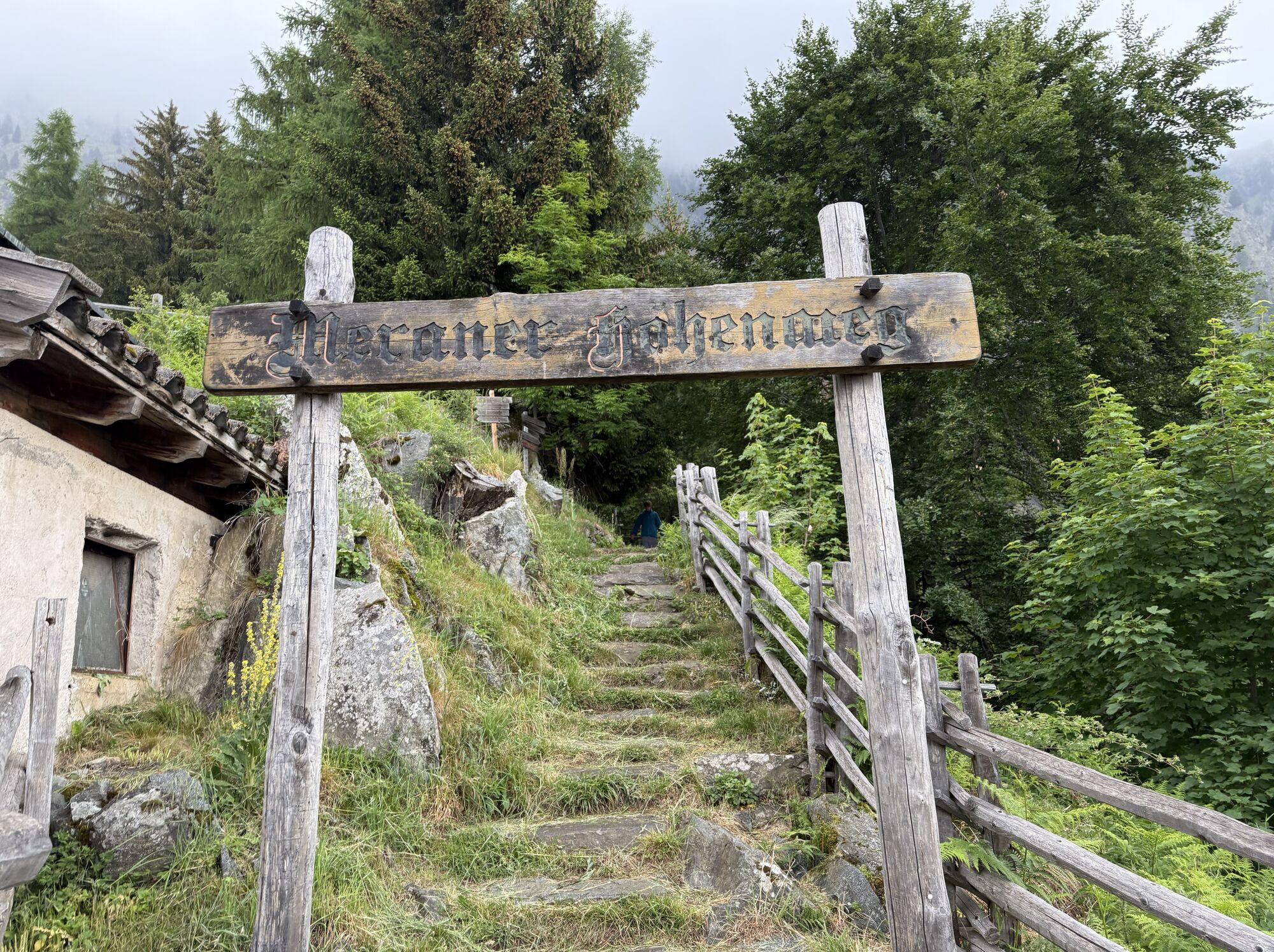
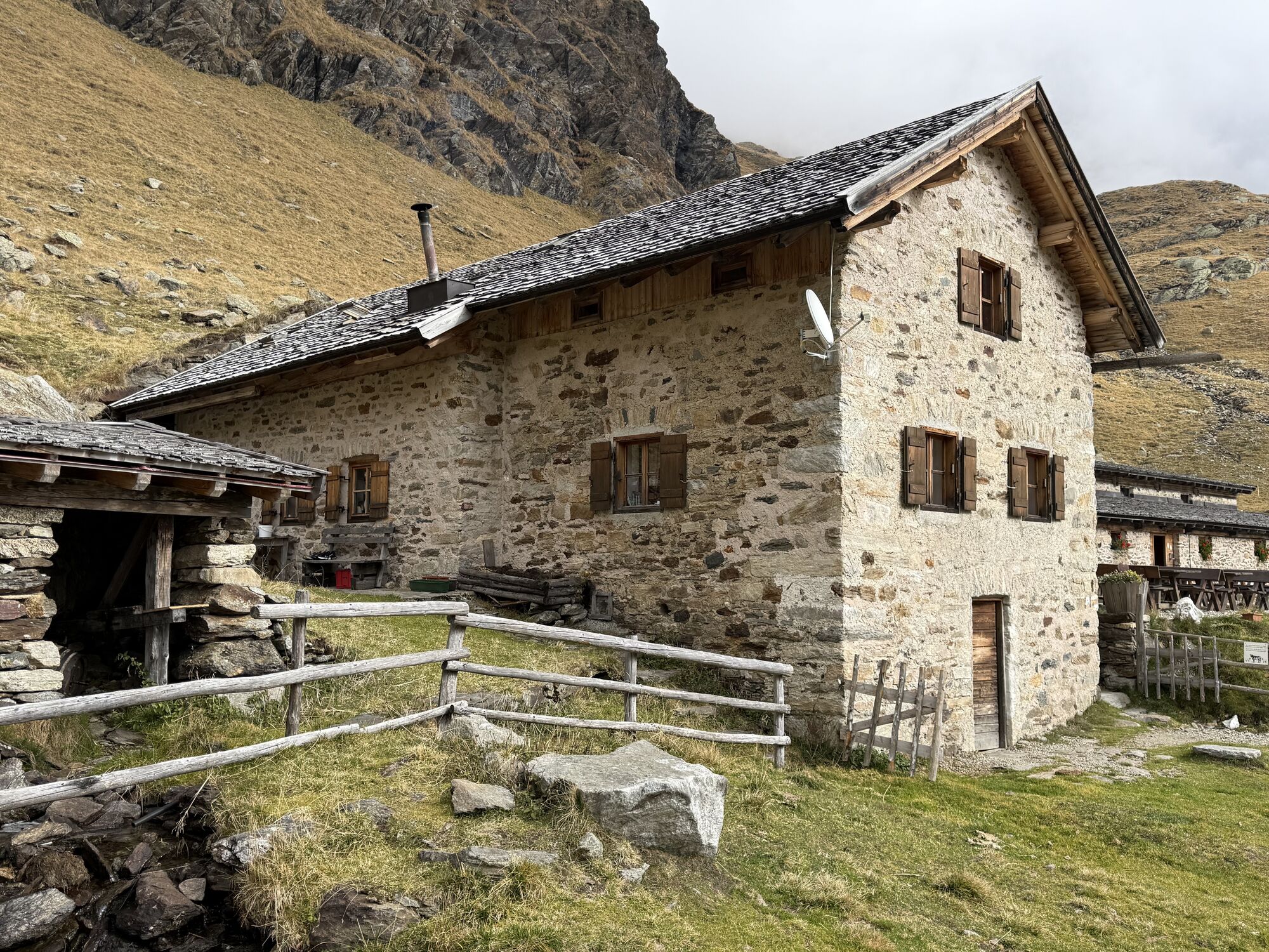
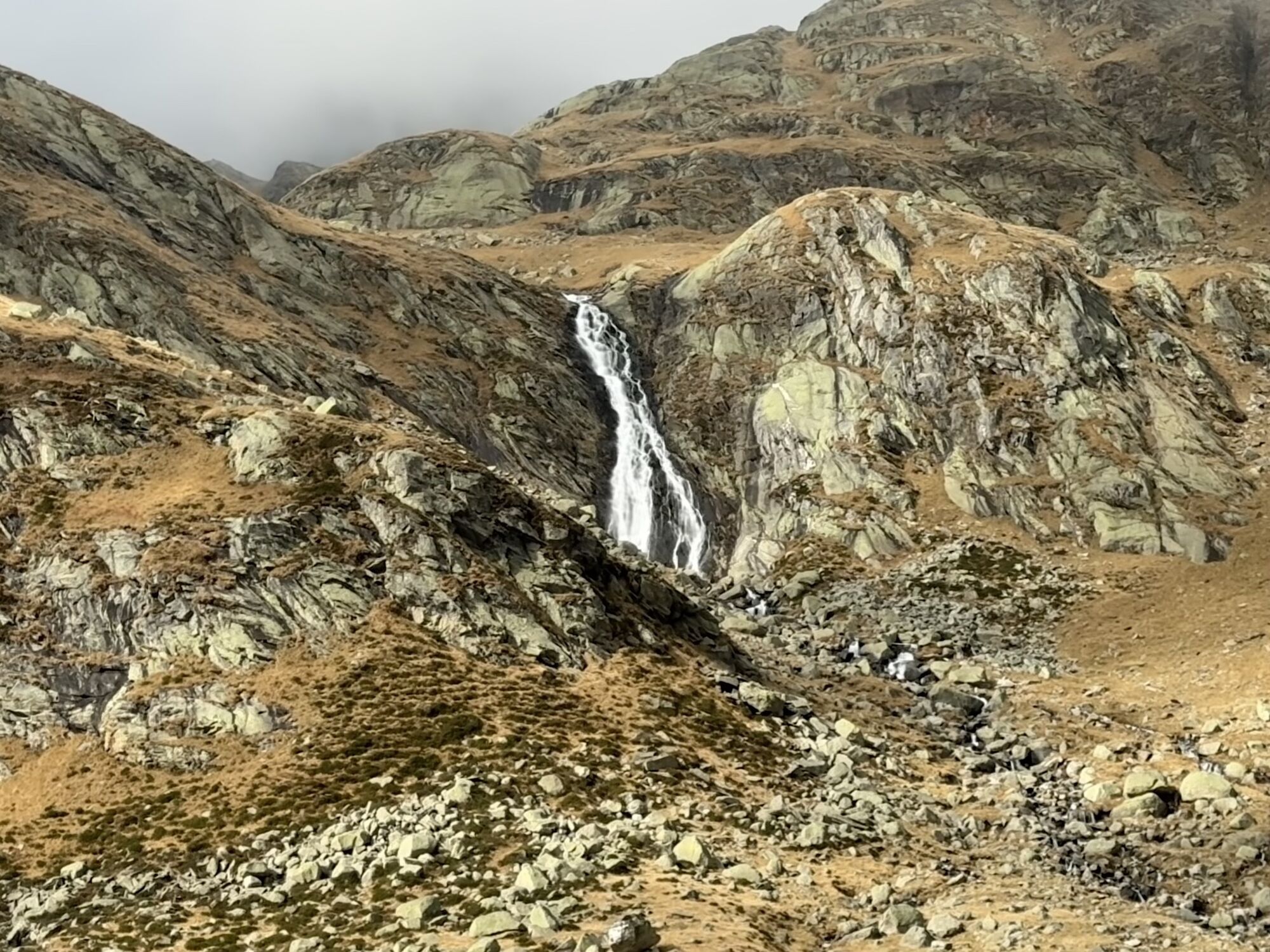
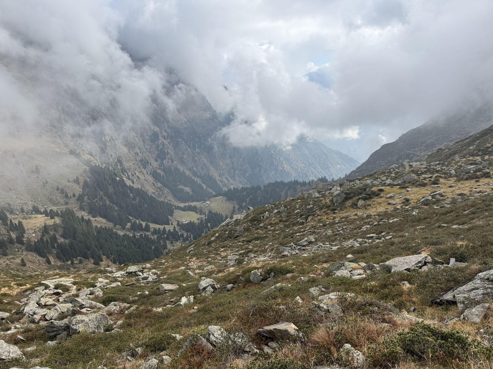
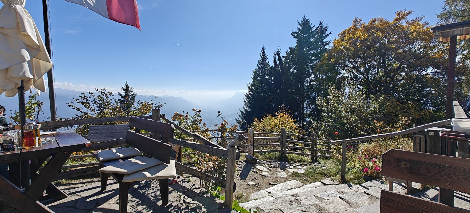
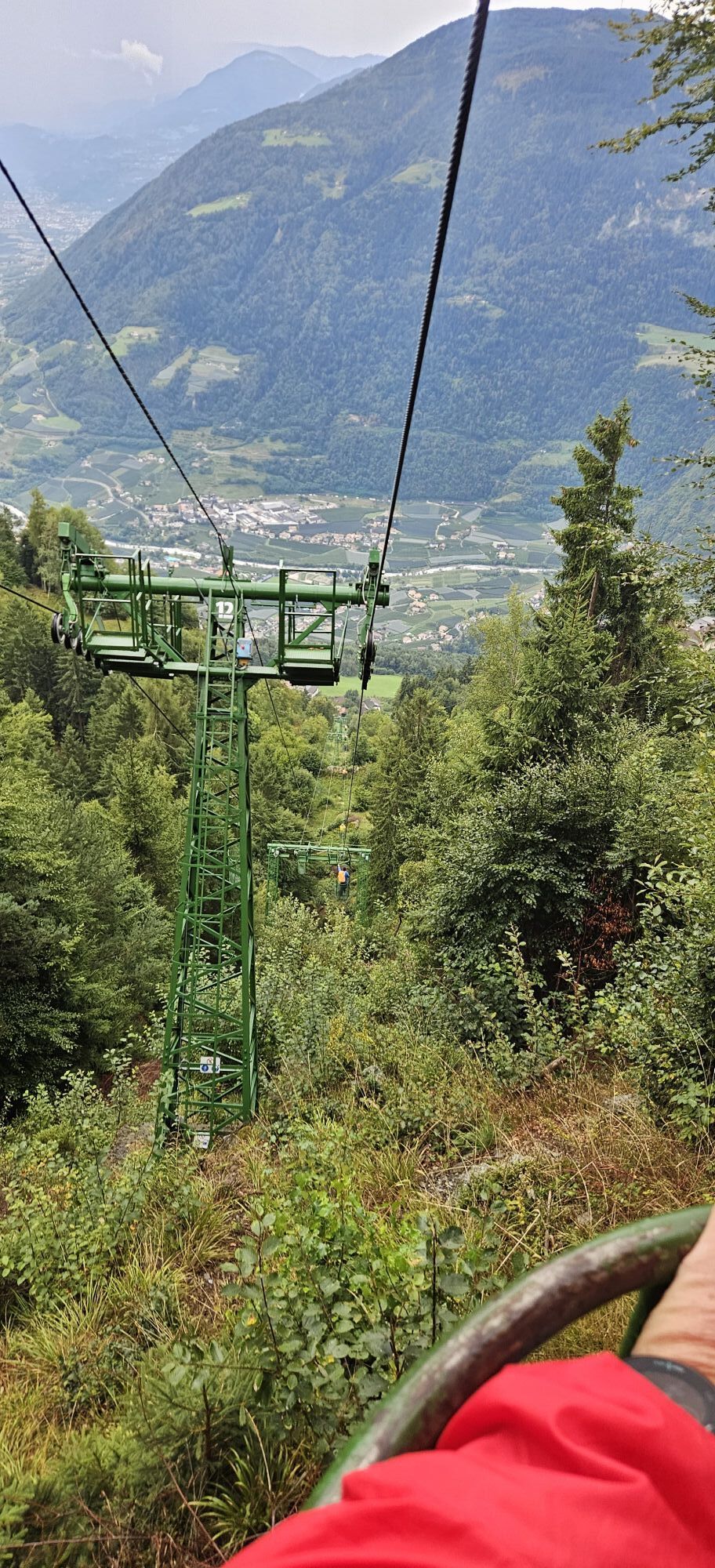
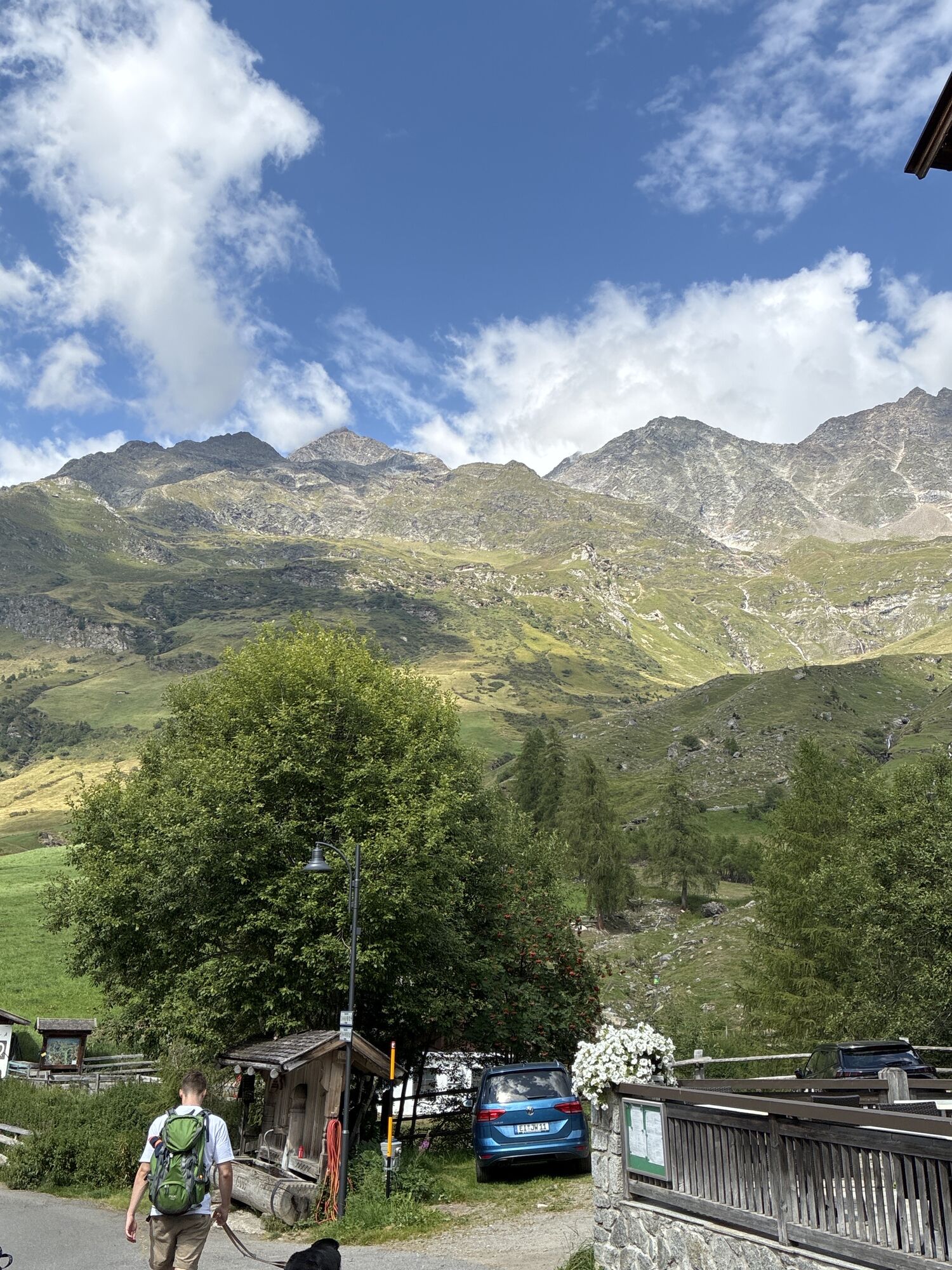
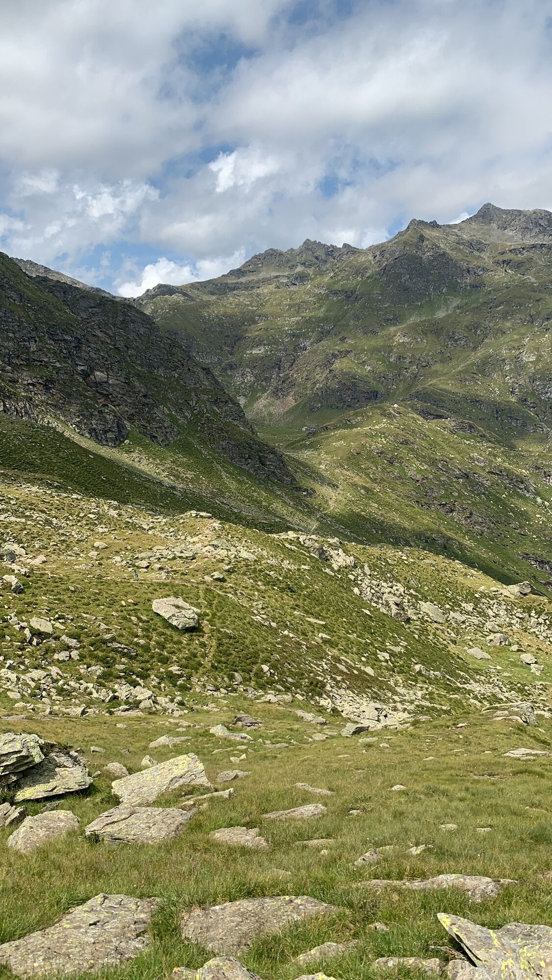
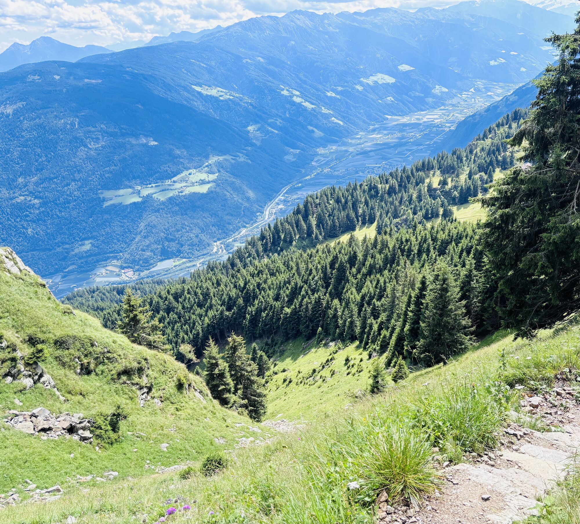
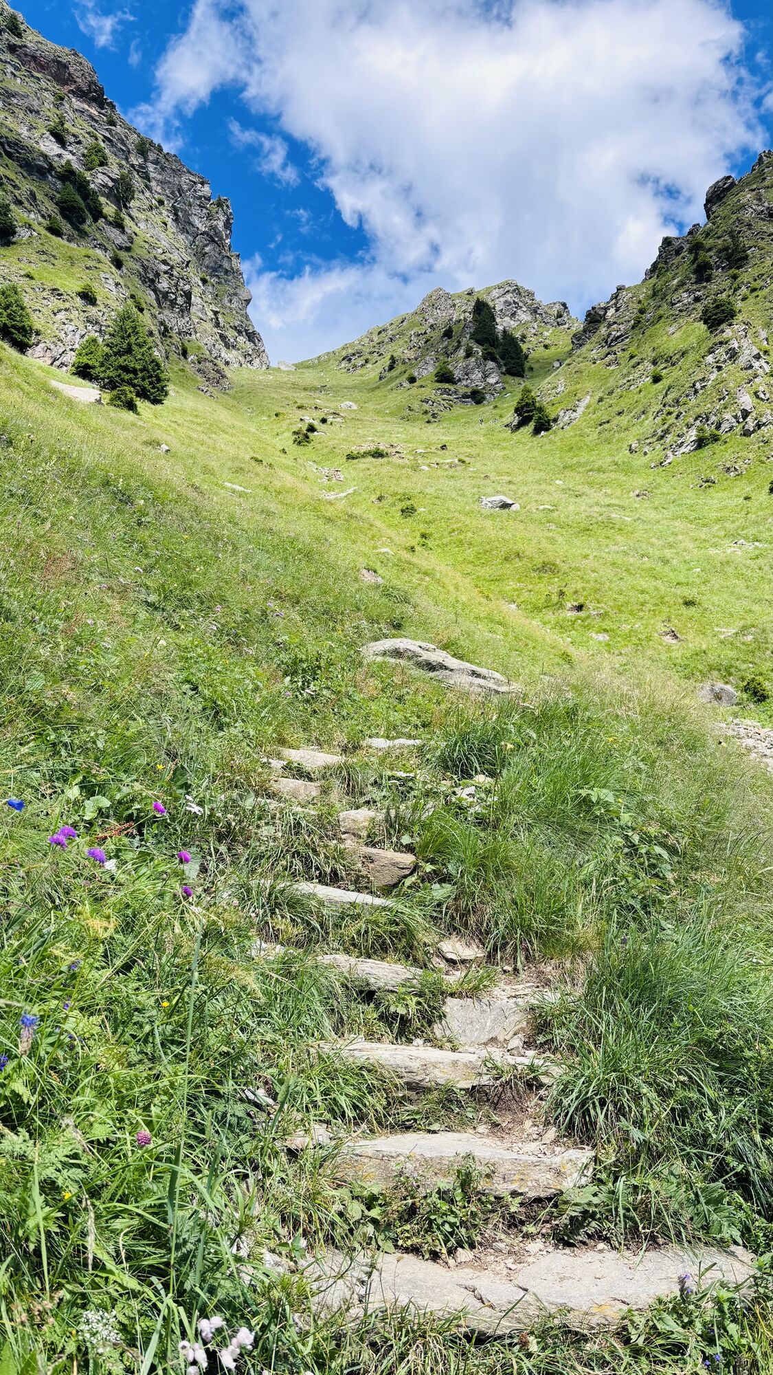
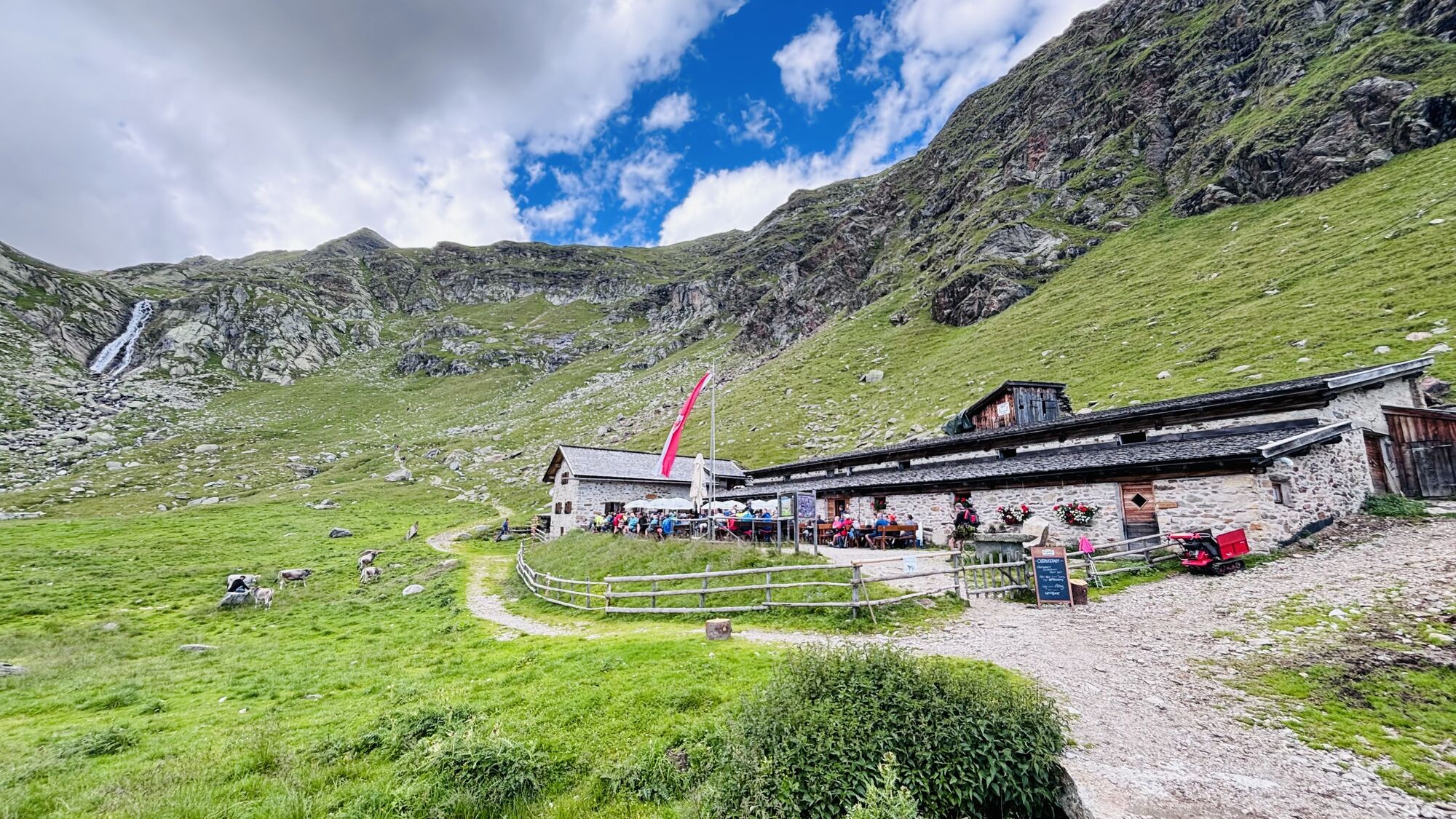
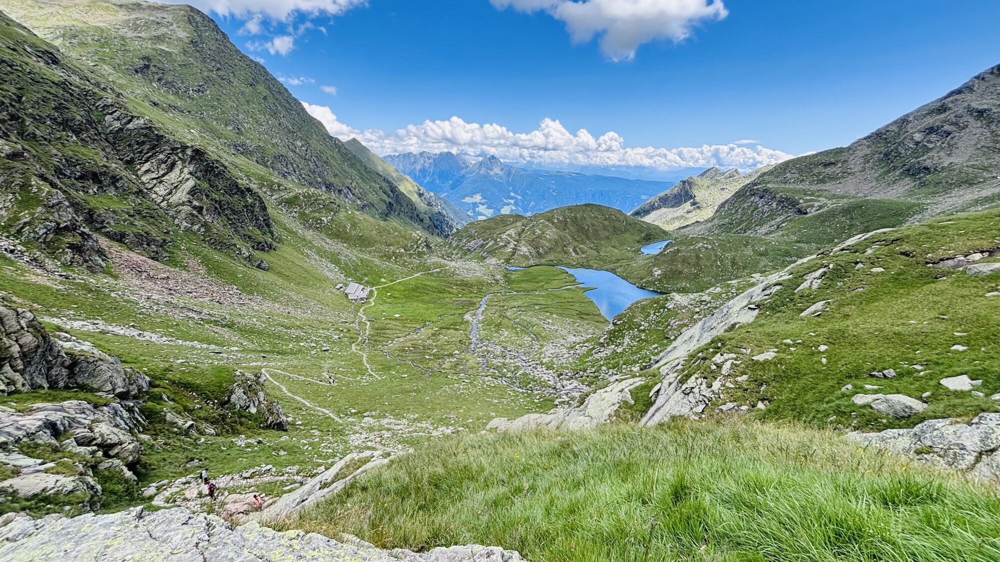
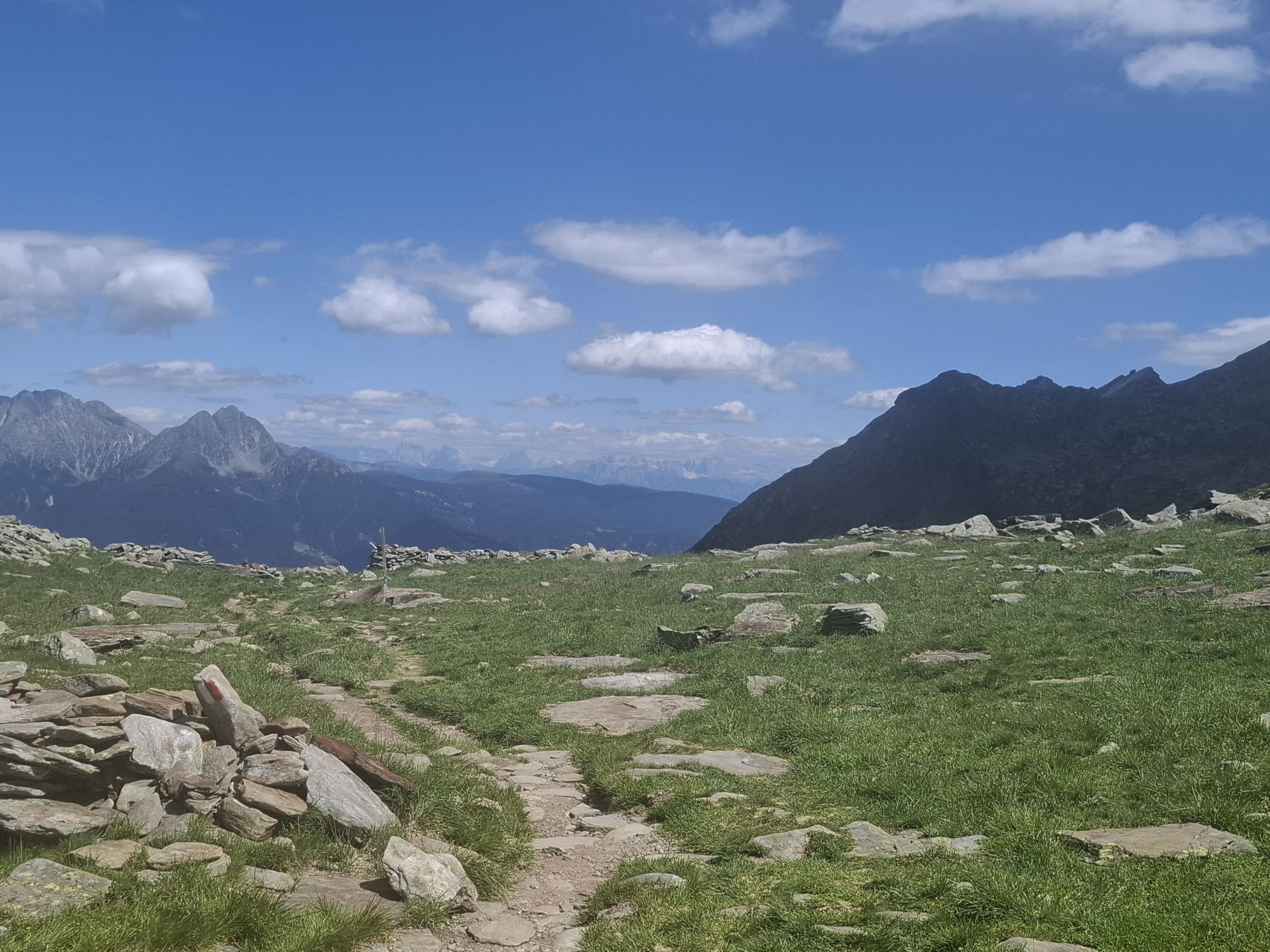
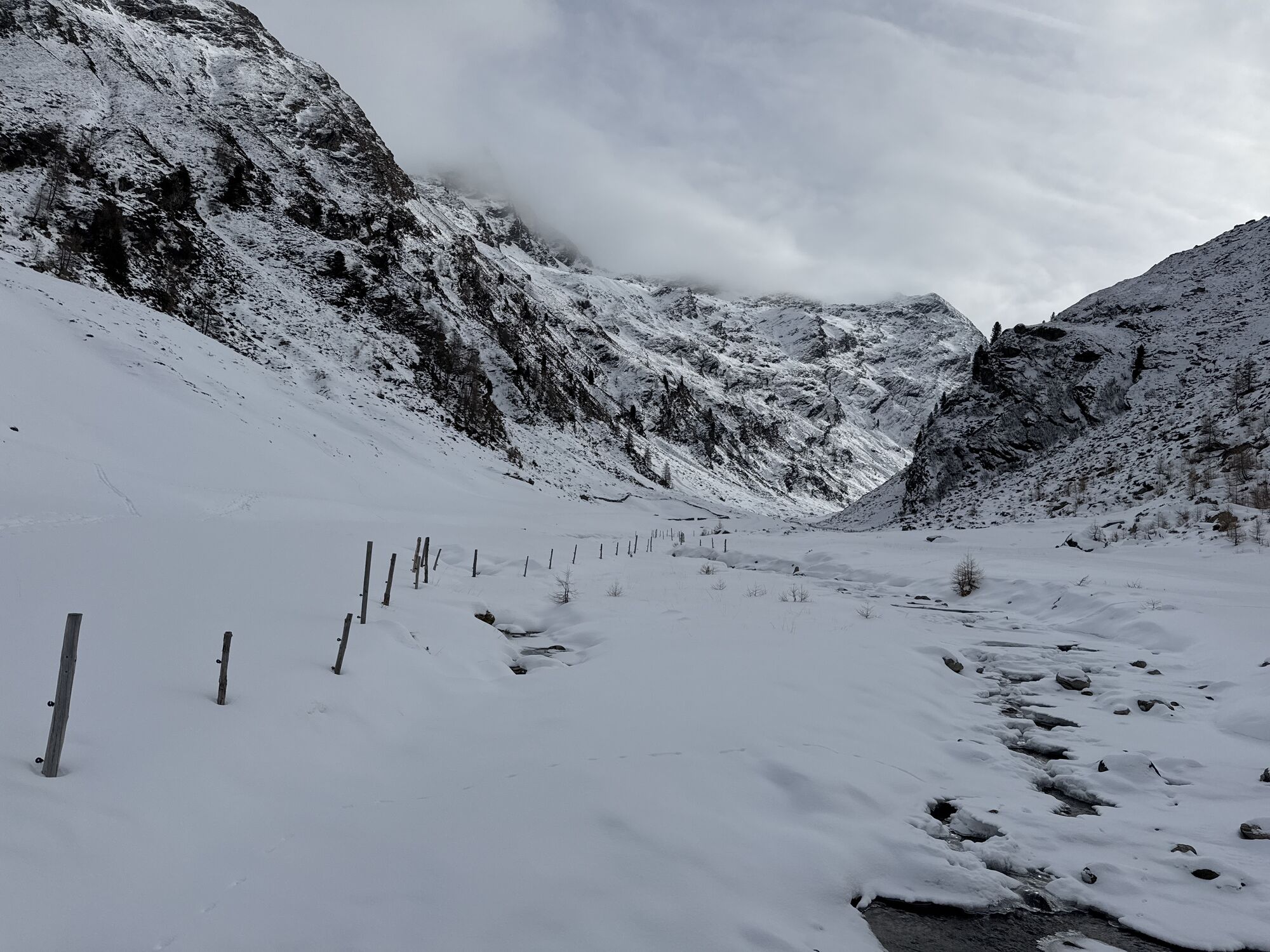
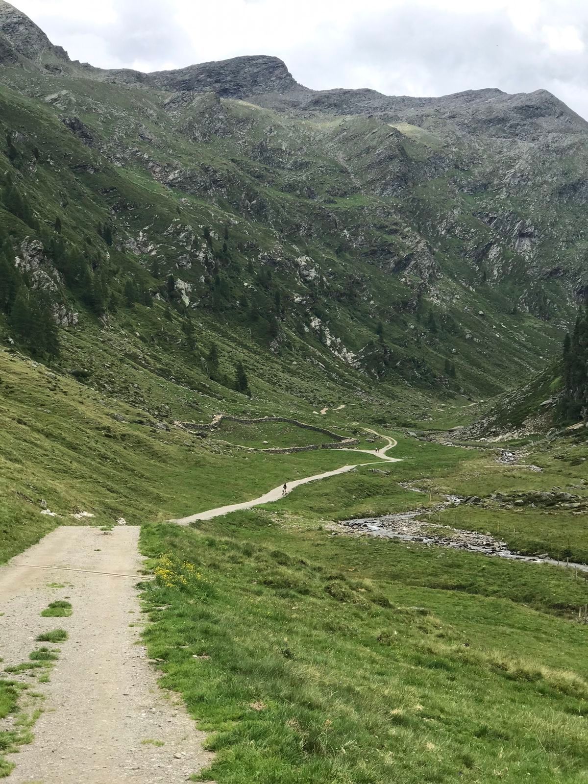
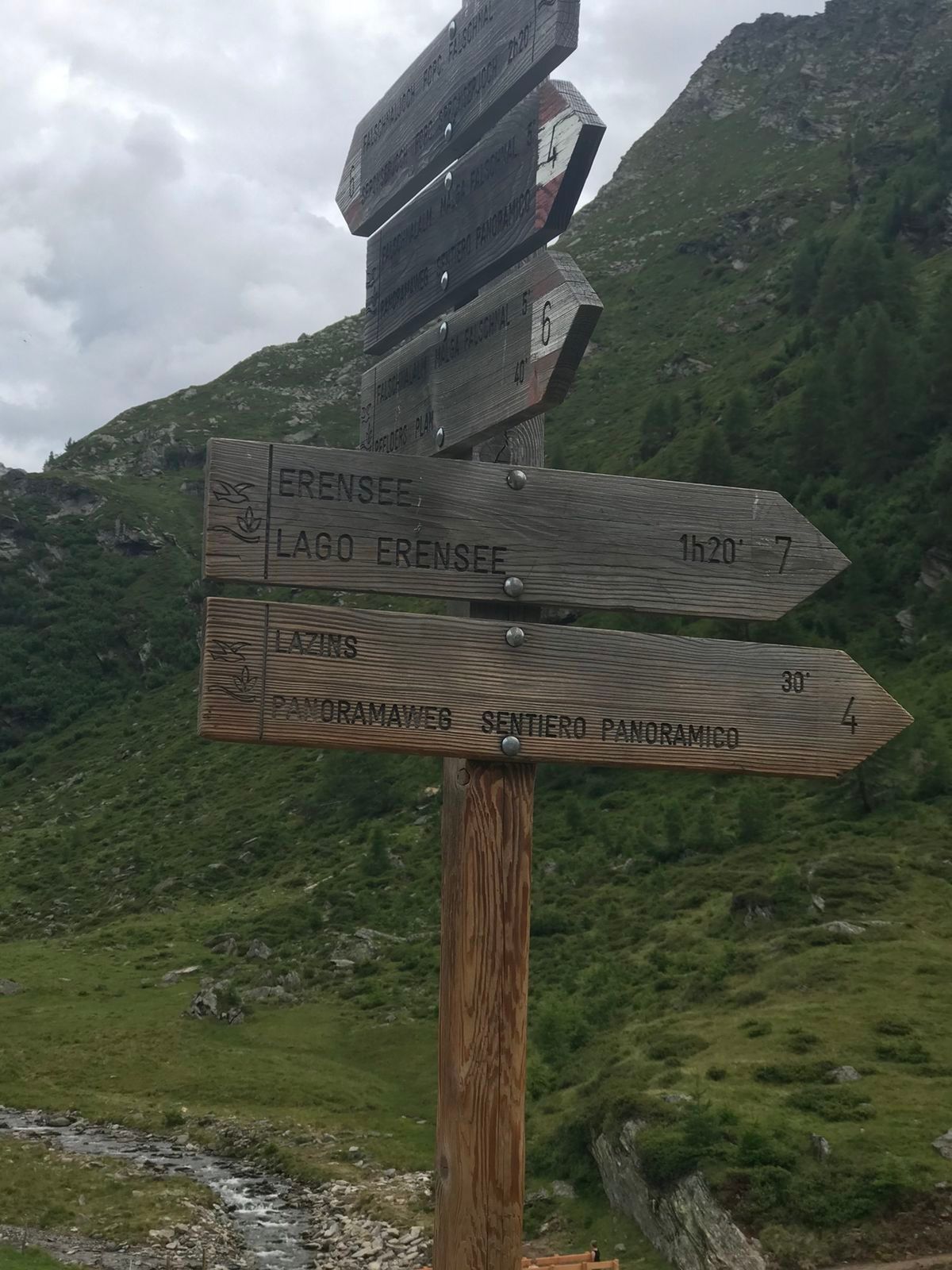
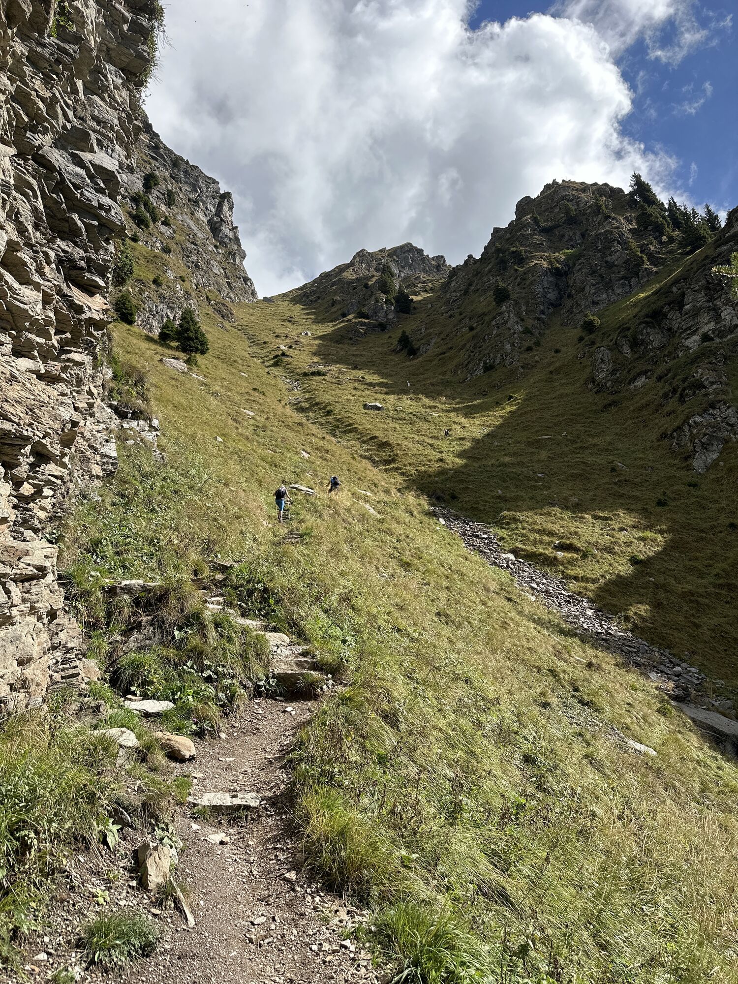
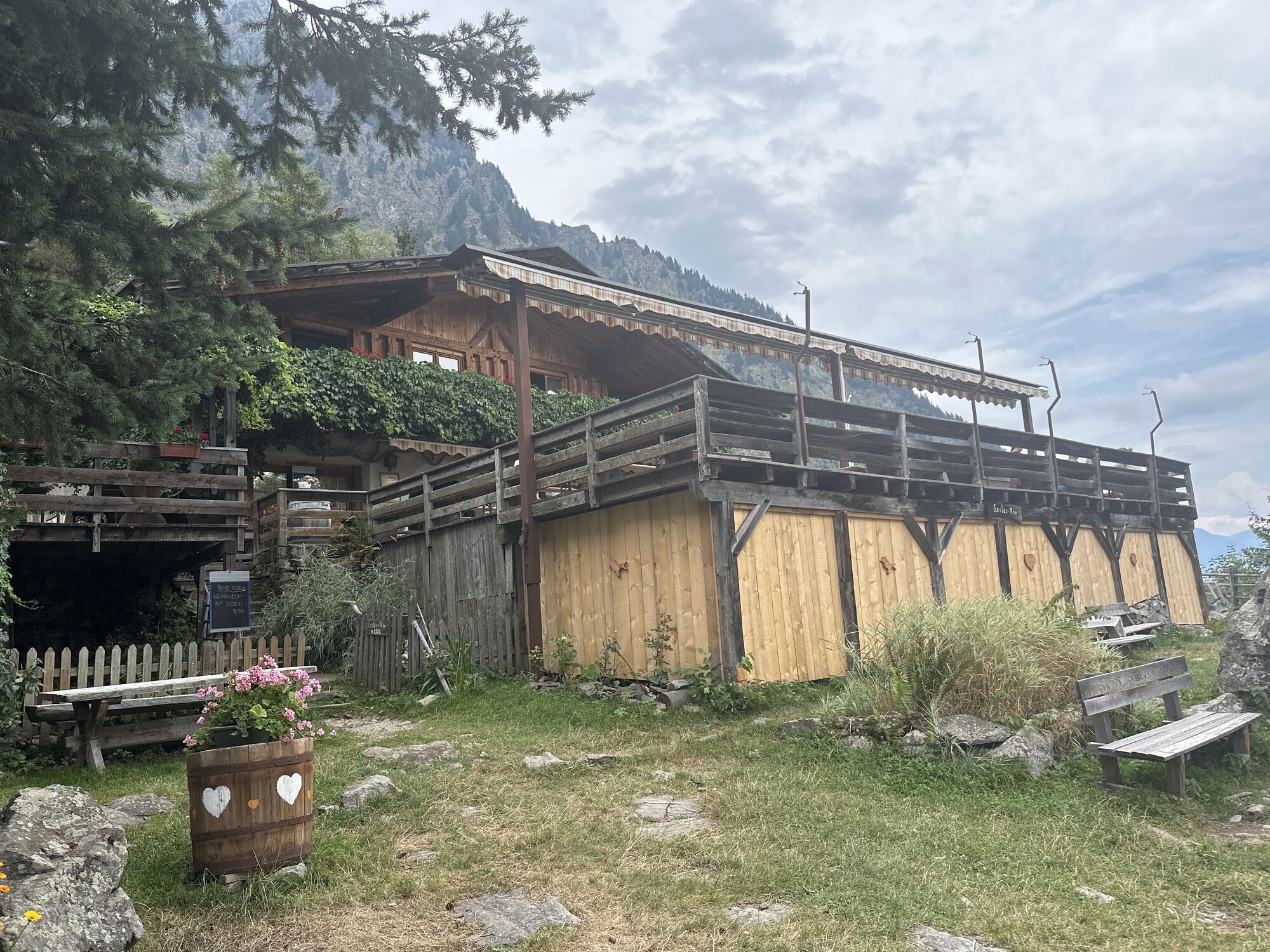
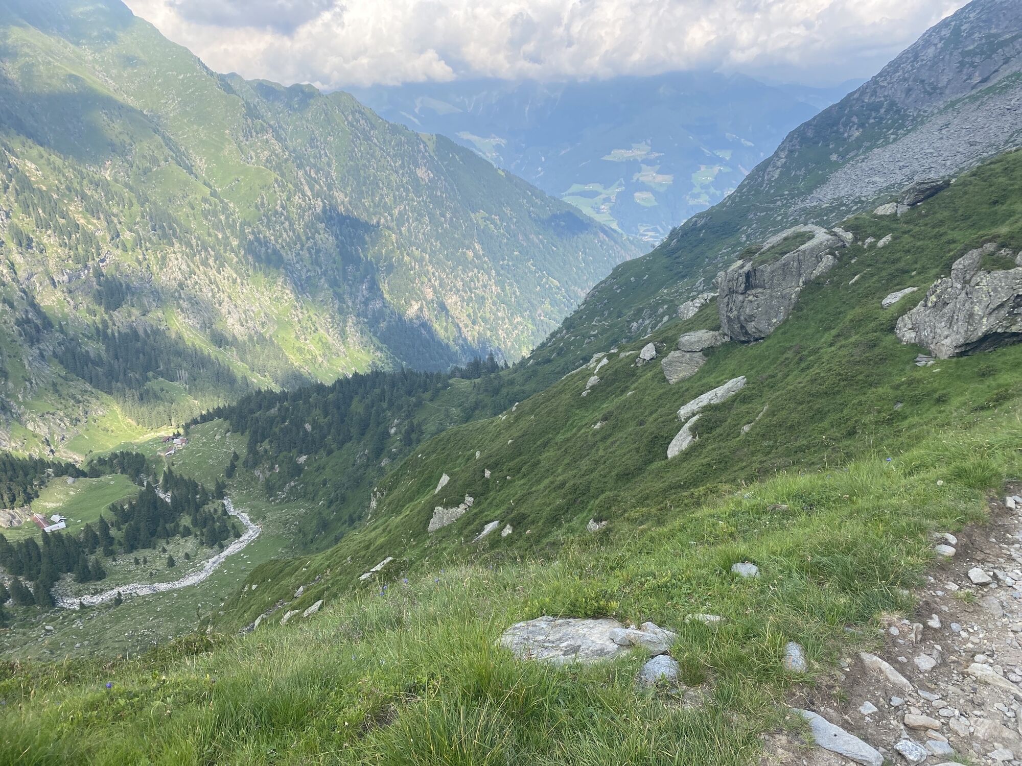
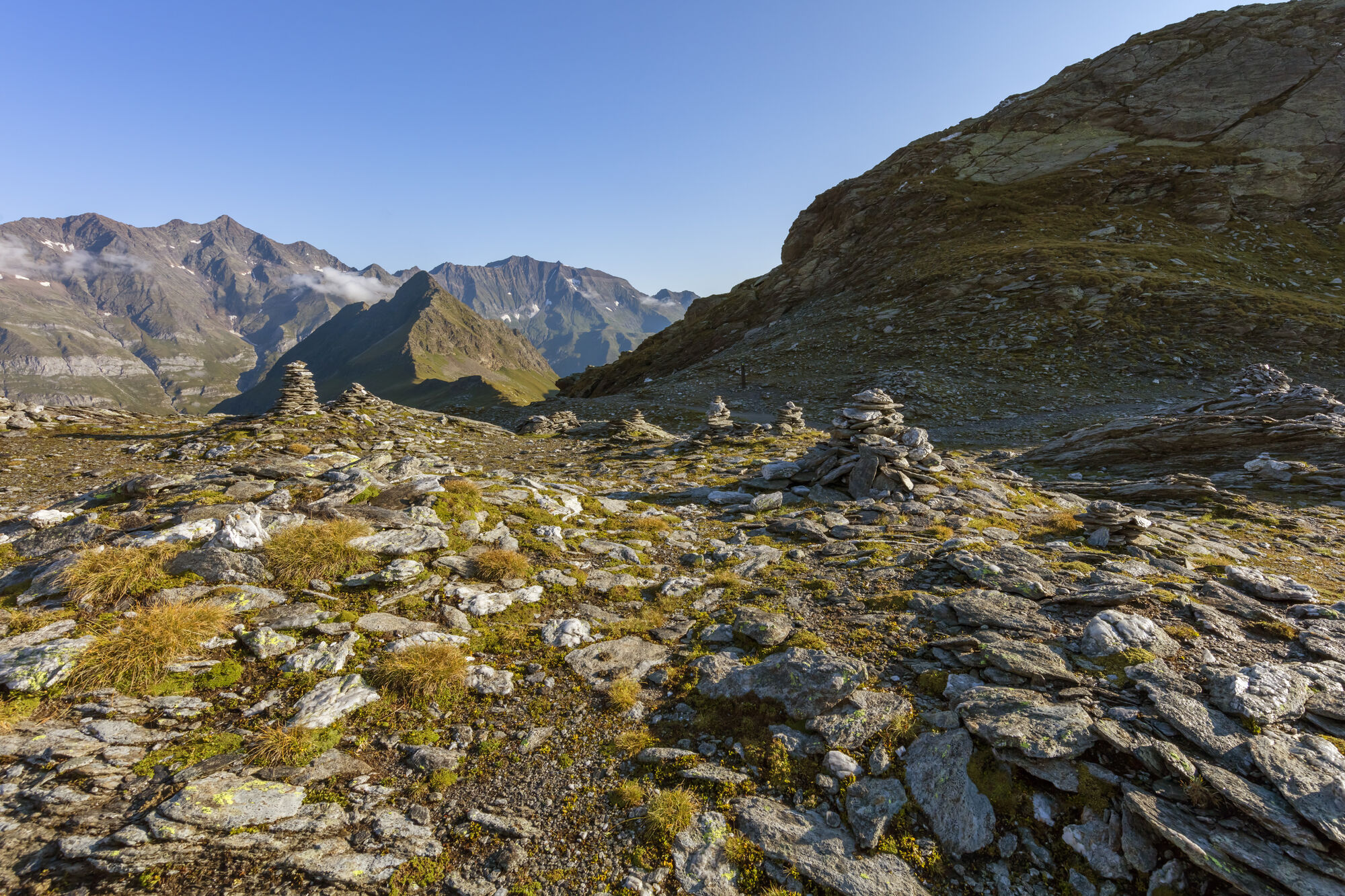
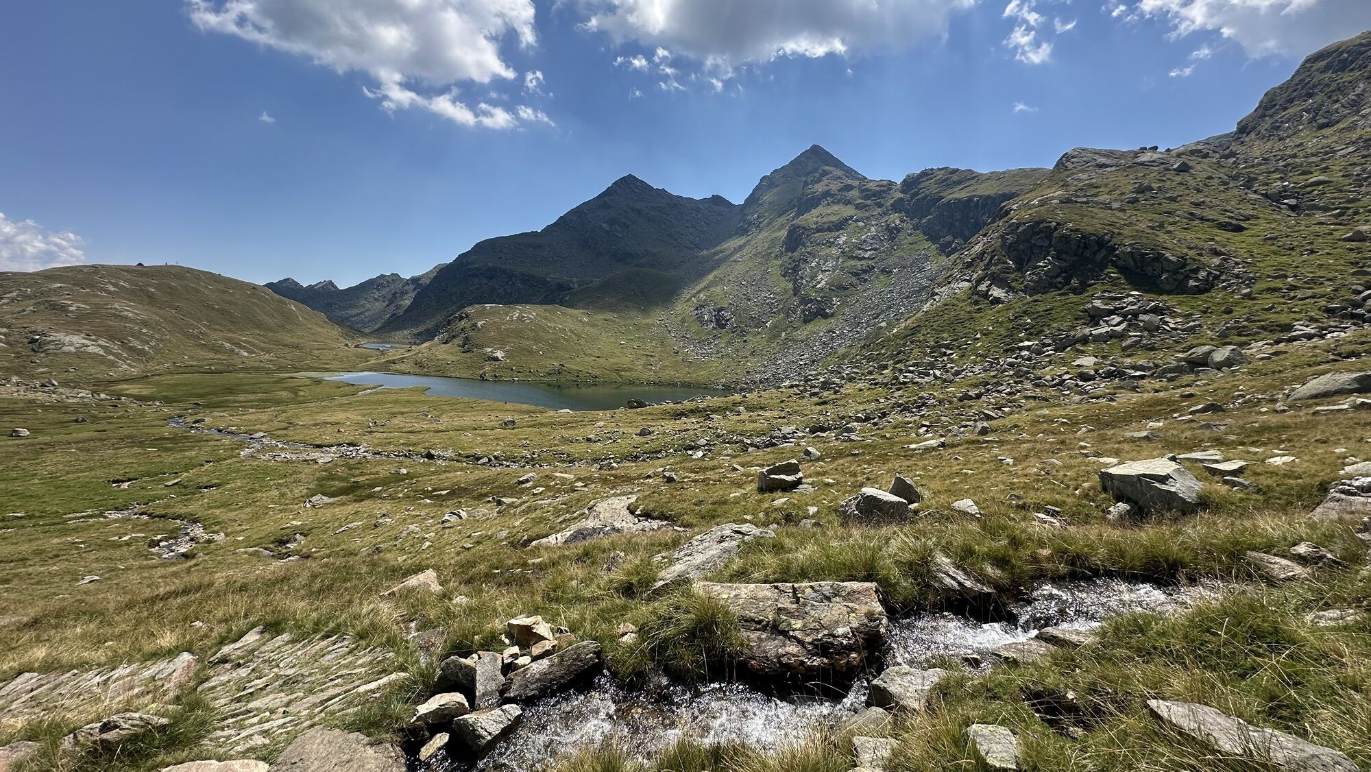
The starting point of this tour is Pfelders/Plan (1,628 m) in the Passeiertal valley. Take trail no. 6 up to the Faltschnal Alm mountain hut, cross the Faltschnaltal valley and continue until the Faltschnaljöchl pass and then until the Spronser Joch pass (2,581 m), the highest point of the tour with a view of (almost) all the Spronser Seen lakes. Descend along trail no. 6 past the crystal clear, colorful mountain lakes down to the Oberkaser Alm mountain hut (2,314 m). Trail no. 22 then leads past the Kaserlacke and the Pfitscherlacke lakes until the junction with trail no. 25B that you follow up until the Taufenscharte pass (about 100 metres of altitude difference). Descend along the rather steep trail with serpentines until you meet trail no. 24 (Meraner Höhenweg high alpine trail) and follow it until the Leiter Alm mountain hut, where you take the gondola basket lift to Vellau/Velloi and then the chair lift or bus back to Algund/Lagundo.

Trasa
Maria Hilfe der Christen
(1 626 m)
Miesto uctievania
0,0 km
Pfelders - Plan
(1 628 m)
Dedina
0,2 km
Faltschnal-Alm
(1 871 m)
Reštaurácia
1,9 km
Ziljöchl
(2 417 m)
Horské sedlo
6,4 km
Schutzhütte Oberkaseralm
(2 131 m)
Úkryt
10,3 km
Quelle
(2 082 m)
Zdroj
11,7 km
Leiteralm - Malga Leiter
(1 550 m)
Reštaurácia
14,8 km
Trasa
Mapa
Spronser Seen lakes: At the heart of the Texelgruppe Nature Park
ťažké
Turistika
15,13 km
Maria Hilfe der Christen
(1 626 m)
Miesto uctievania
0,0 km
Pfelders - Plan
(1 628 m)
Dedina
0,2 km
Faltschnal-Alm
(1 871 m)
Reštaurácia
1,9 km
Ziljöchl
(2 417 m)
Horské sedlo
6,4 km
Schutzhütte Oberkaseralm
(2 131 m)
Úkryt
10,3 km
Quelle
(2 082 m)
Zdroj
11,7 km
Leiteralm - Malga Leiter
(1 550 m)
Reštaurácia
14,8 km
Informácie o prehliadke

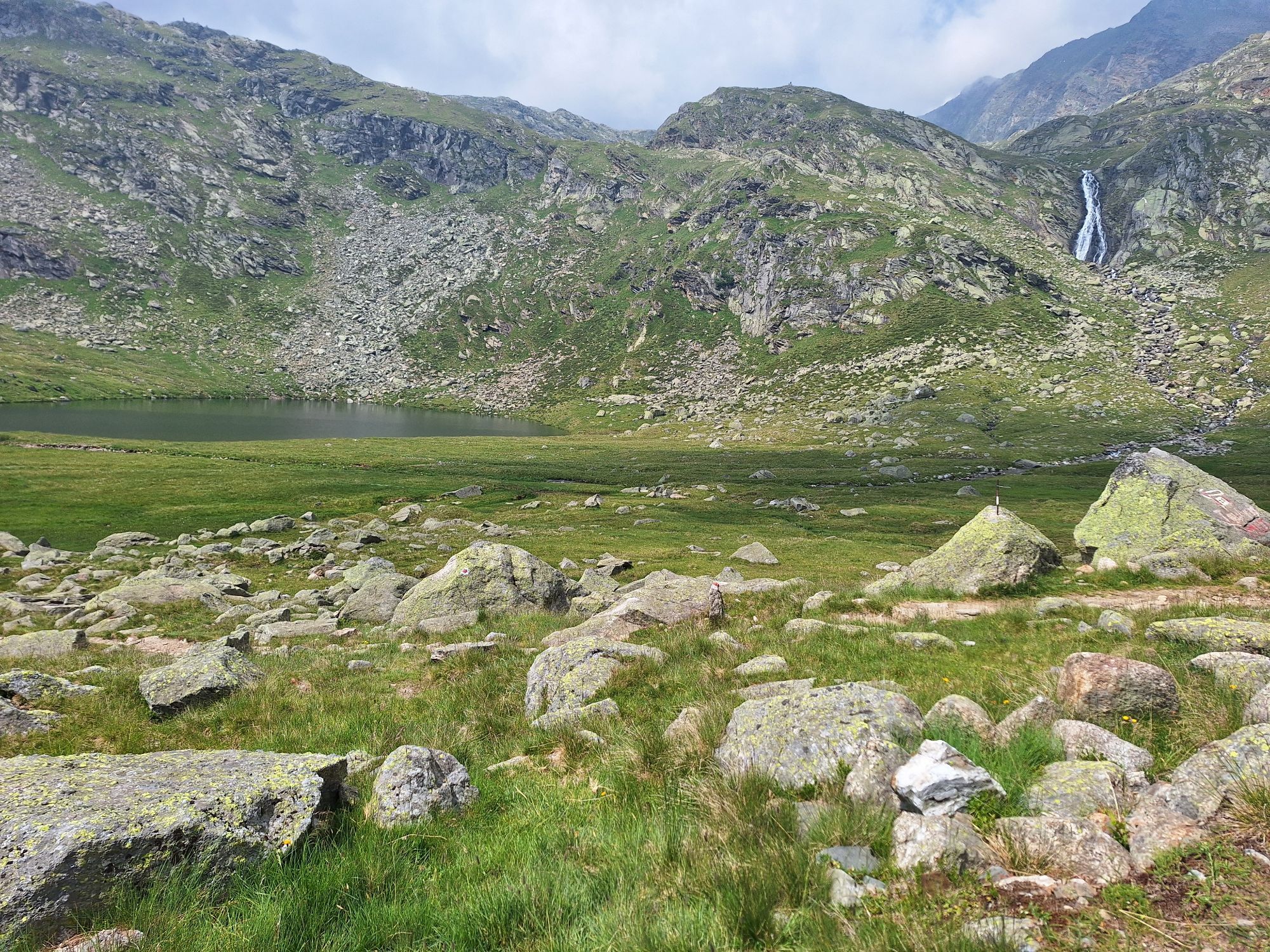
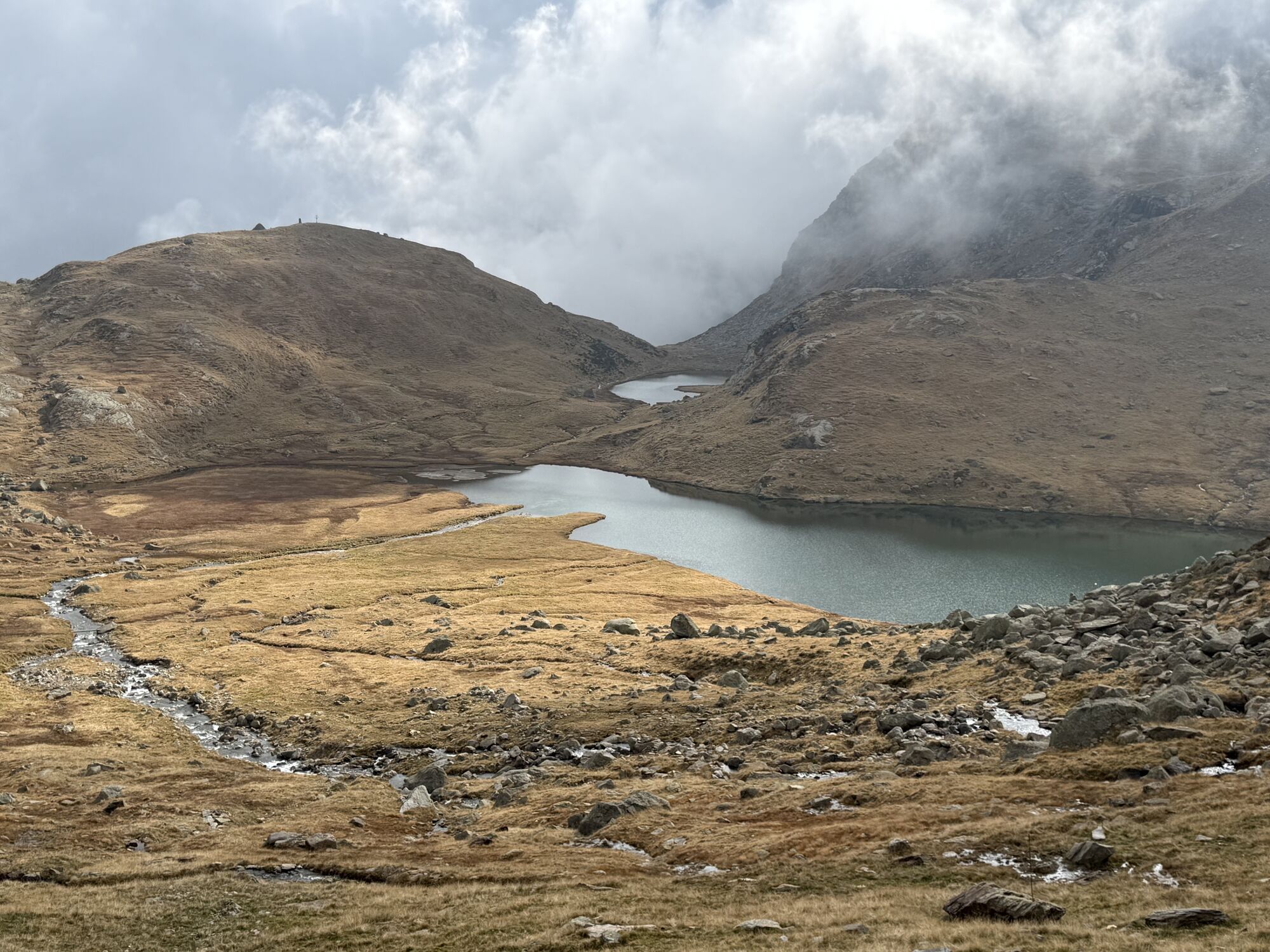
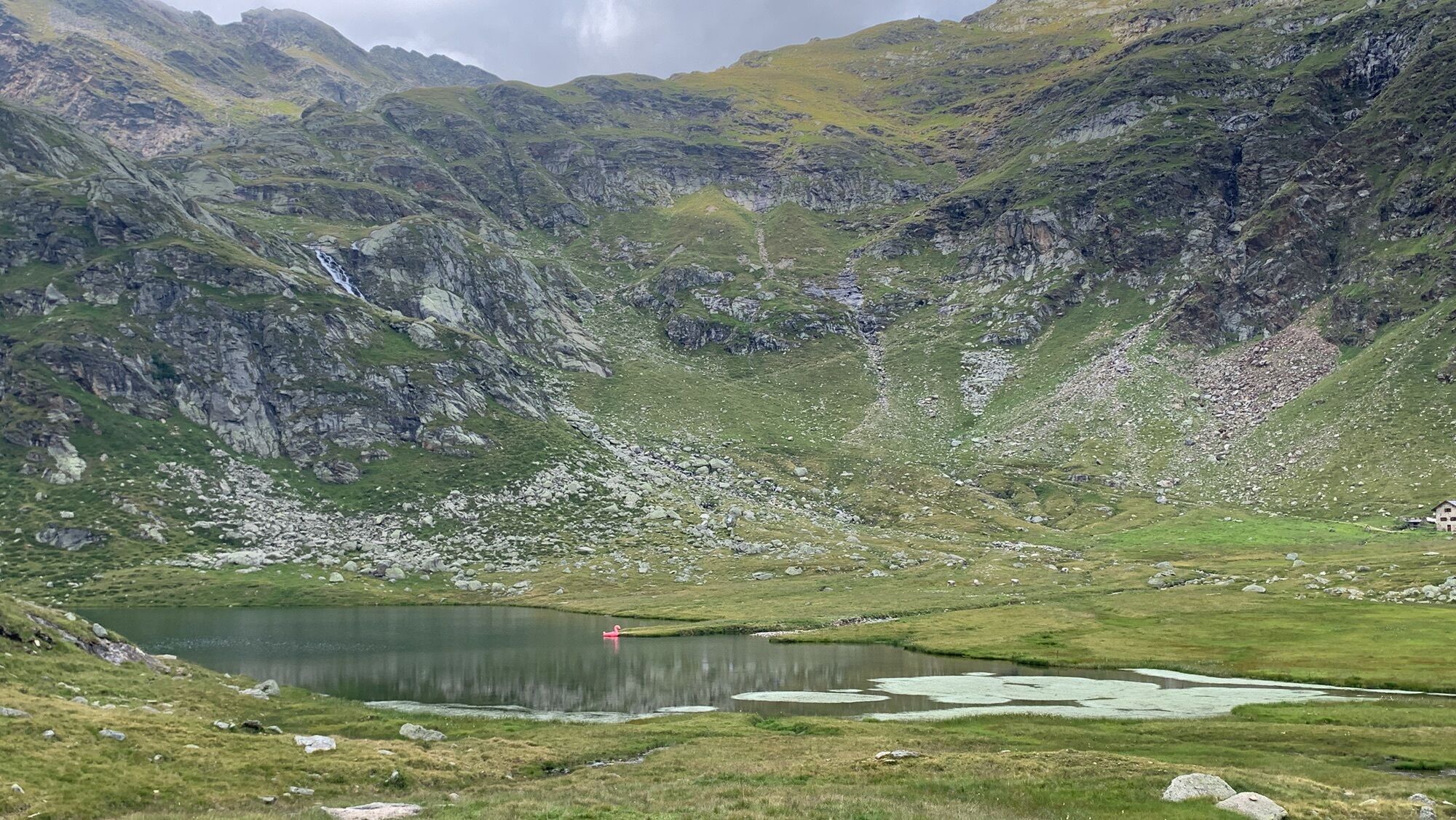
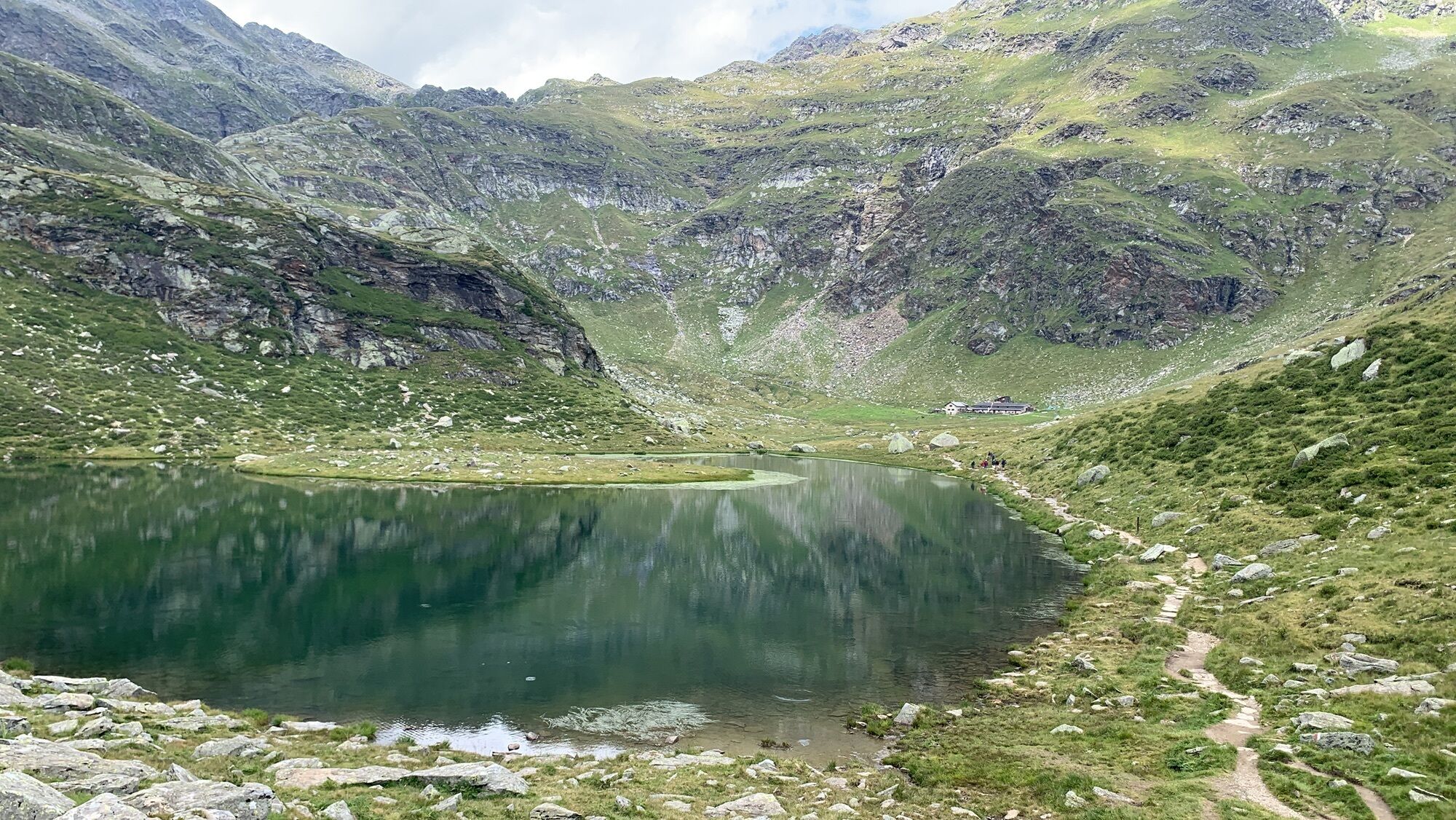
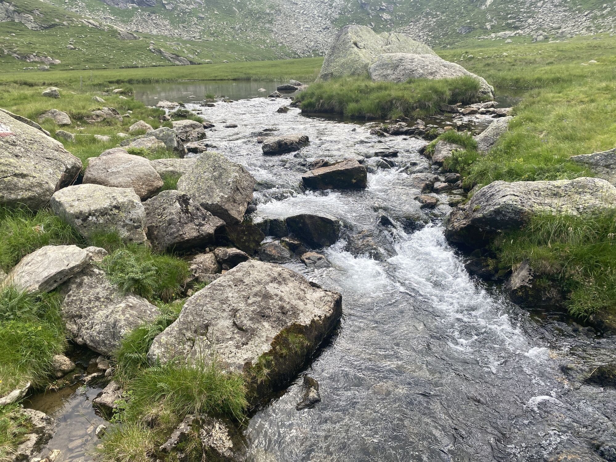
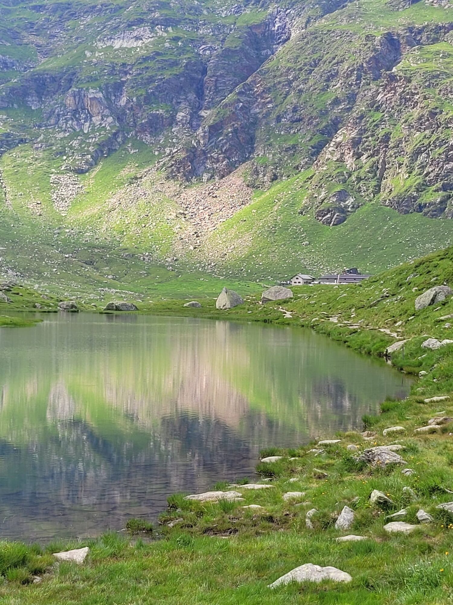
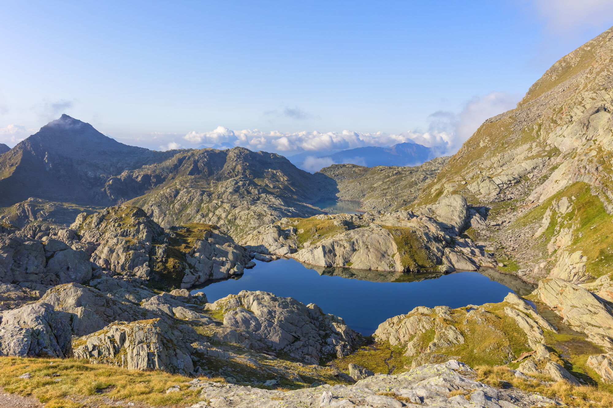
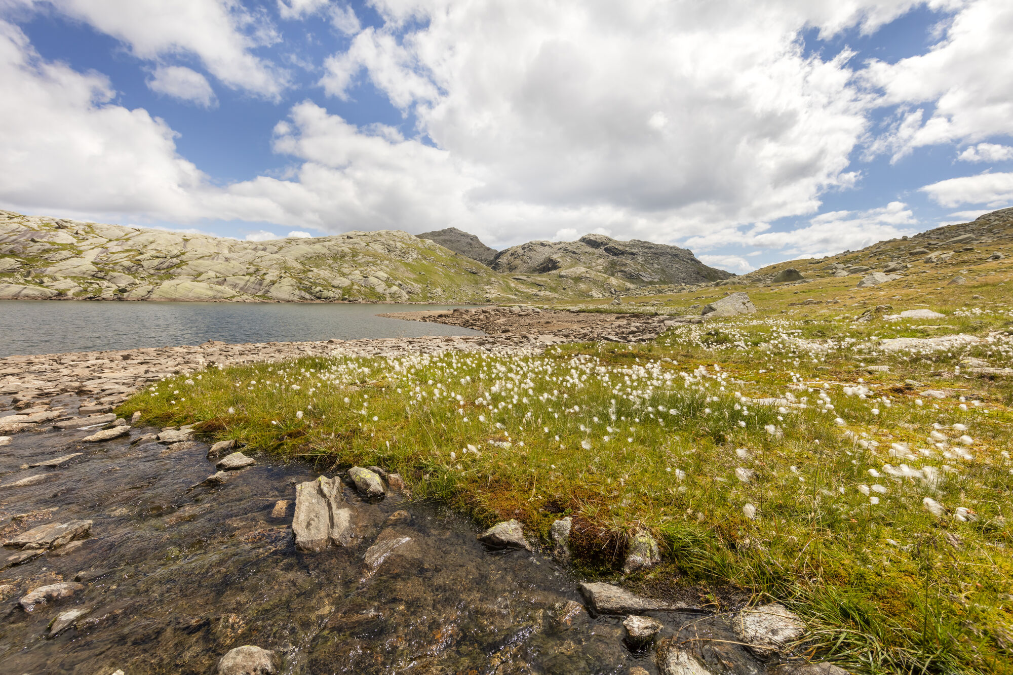
The Spronser lakes are located at the centre of the Texel Mountain Nature Park, one of the largest high mountain lake districts in the entire Alps. They are filled with melted snow water and are a real highlight of the Texel Group Nature Park. Their clear waters reflect the surrounding landscape, which makes them a popular place for walkers and hikers. The ten little lakes, which lie at an altitude of between 2,117 mt. and 2,589 mt., are the highest mountain lakes in South Tyrol.

The lakes include the Kasersee 2,117 mt., Pfitschersee 2,126 mt., Mückensee 2,330 mt., Grünsee 2.338 mt., Langsee 2,377 mt., Schiefersee 2,501 mt., Kesselsee 2,512 mt., Schwarzsee 2,589 mt. and the two Milchseen at 2,540 mt.

Charakter trasy
Balast
Lúka
Forest
Rock
Vystavené stránky
Technológia
5 / 6
Stav
5 / 6
Krajina
6 / 6
Skúsenosti
6 / 6
Najlepšie ročné obdobie
Jan
Feb
Mar
Apr
Máj
Jún
Júl
Aug
Sep
Okt
Nov
Dec
Autor
Poskytuje Tourismusverein Algund - Ufficio turistico di Lagundo
Vytvorené dňa 09. augusta 2022
8 731 Hovory
Zdieľať prehliadku
Mapa
Spronser Seen lakes: At the heart of the Texelgruppe Nature Park
ťažké
Turistika
15,13 km
Chyba
Vyskytla sa chyba. Prosím, skúste to znova.
Naposledy sledované Pred 7 dňami
Informácie o trase
Strmý priechod

Áno

Geologické zaujímavosti

Áno

Prehliadka vrcholu

Áno

Jednosmerná prehliadka

Áno

Gondola/kára

Áno

Lesná oblasť

Áno

Informácie o príchode
Príchod

Take the Brenner motorway until you get to Bozen Süd, then the MEBO clearway until the exit for Meran Süd. Then, follow the signage for Jaufenpass / Timmelspass / Passeiertal via Riffian-St. Martin-St. Leonhard, Moos until you reach Pfelders in Passeier.

Verejná doprava

Mit dem Bus 213 von Algund oder dem Citybus bzw. der Vinschgau Bahn nach Meran Haltestelle Bahnhof; Bus 240 nach Pfelders.

Parkovanie

Rathaus Algund (gebührenpflichtig)
Öffentlicher Parkplatz (Praderplatz) nähe Bahnhof Meran,
ACHTUNG: dienstags und freitags verboten!

Oceňovanie
4,8
5
(4)
4
(1)
3
(0)
2
(0)
1
(0)
3 Komentáre
Avatar z Andreas Salscheider
Andreas Salscheider
03. aug. 2026
Oberkaser Alm - Pfelders
Užitočné (0) |
Správa
Chyba
Vyskytla sa chyba. Prosím, skúste to znova.
Avatar z Alex Heel
Alex Heel
12. okt. 2025
Spronser Seen Vellau-Pfelders
Avatar z Karsten Hodde
Karsten Hodde
04. júl. 2024
Pfelders - Dorf Tirol
Sehr abwechslungsreiche Tour über das Spronser Joch an den Spronser Seen (wunderschön) vorbei zum Oberkaser und dann weiter über die 22 zur Seilbahn Hochmuth ins Dorf Tirol. Ca 6 Stunden Gehzeit, Anfang Juli noch viel Schnee ( ca 1,5 km vor dem Spronser Joch und 1km danach. ) Schwindelfreiheit und Trittsicherheit ist erforderlich. Eine tolle Tour, auch wenn recht anstrengend.
Napíšte recenziu

Recenzie pomáhajú ostatným používateľom vybrať si ďalšie dobrodružstvo. Prosím, hodnoťte len prehliadku, nie počasie alebo občerstvenie.

Vyberte jednu z hviezdičiek a ohodnoťte prehliadku
Zlé turné
Slabé turné
Priemerné turné
Dobrá prehliadka
Vynikajúca prehliadka
bergfex logo Získajte prehľad Vždy naživo na mieste s viac ako 9 500 webovými kamerami. bergfex Ako používateľ Pro si teraz môžete pozrieť príslušné webové kamery pre mnohé zájazdy v aplikácii zájazdy z. Môžete si tak priamo prezerať aktuálne podmienky.
Turistika a stopovanie

Turistika a stopovanie

Turistika a stopovanie
Viac ako 550.000 návrhov výletov, podrobné mapy a intuitívny plánovač trás robia z aplikácie povinnú výbavu pre všetkých nadšencov prírody.
bergfex