






Easy hiking rout to the top of the Watles Moutain (2.550 m)

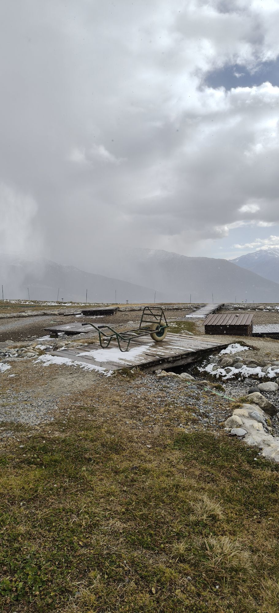
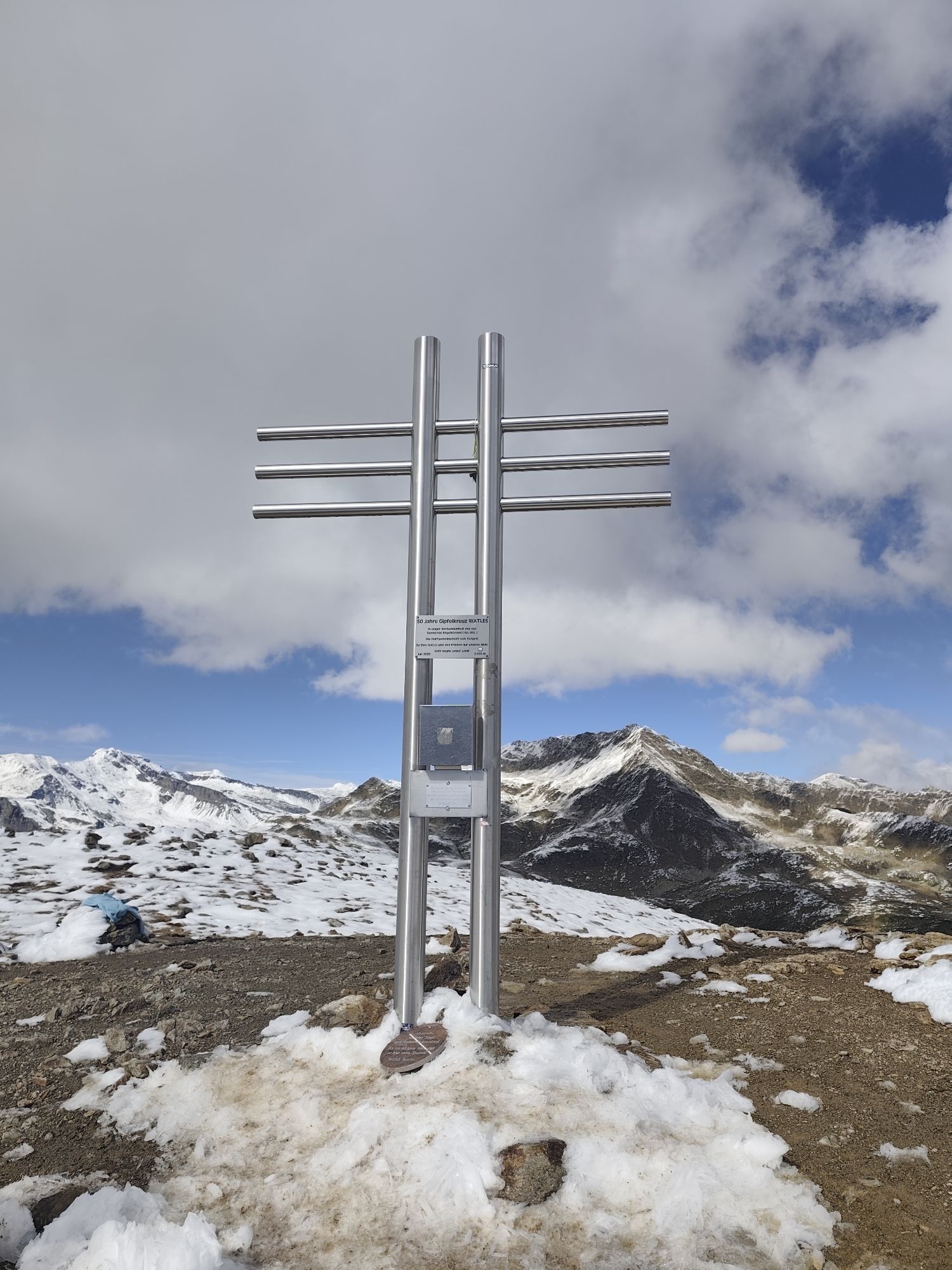
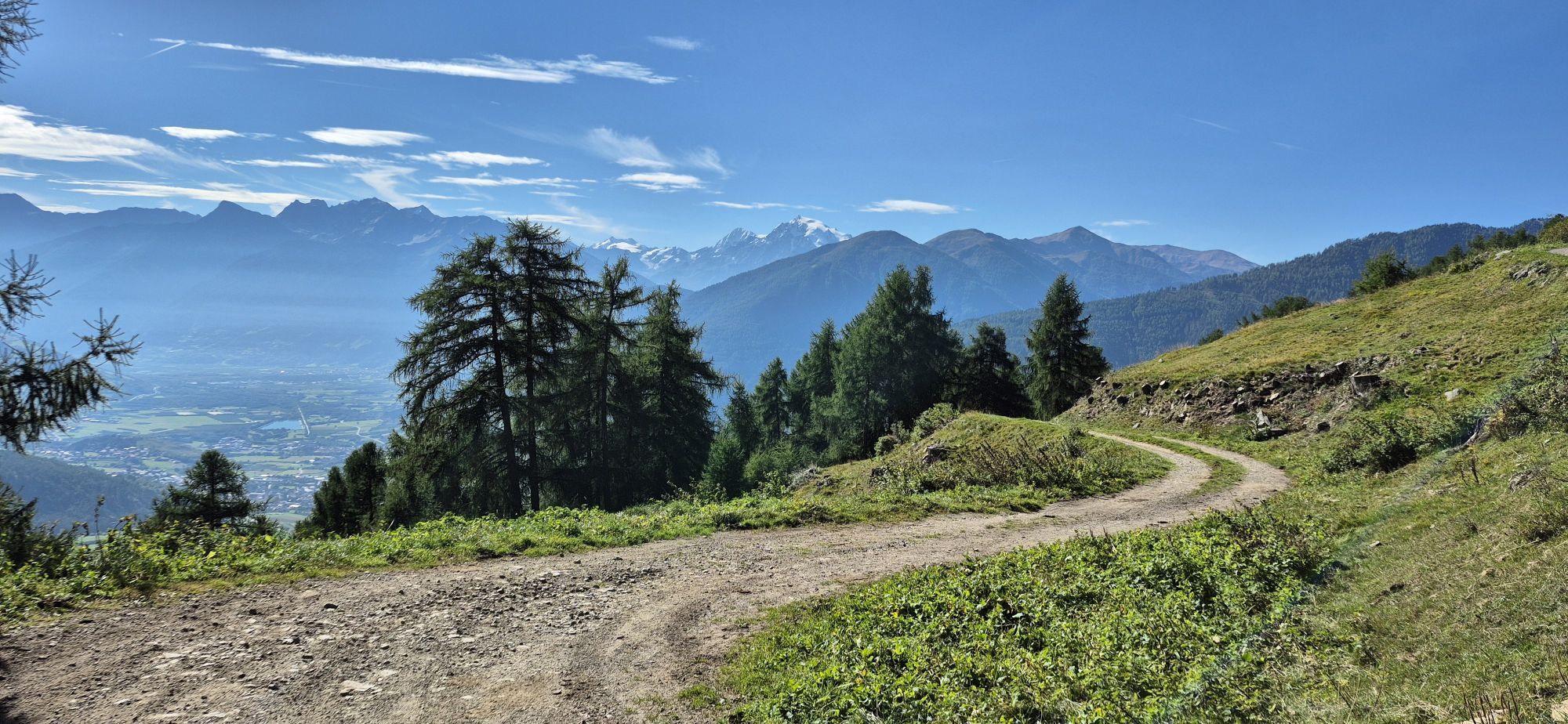
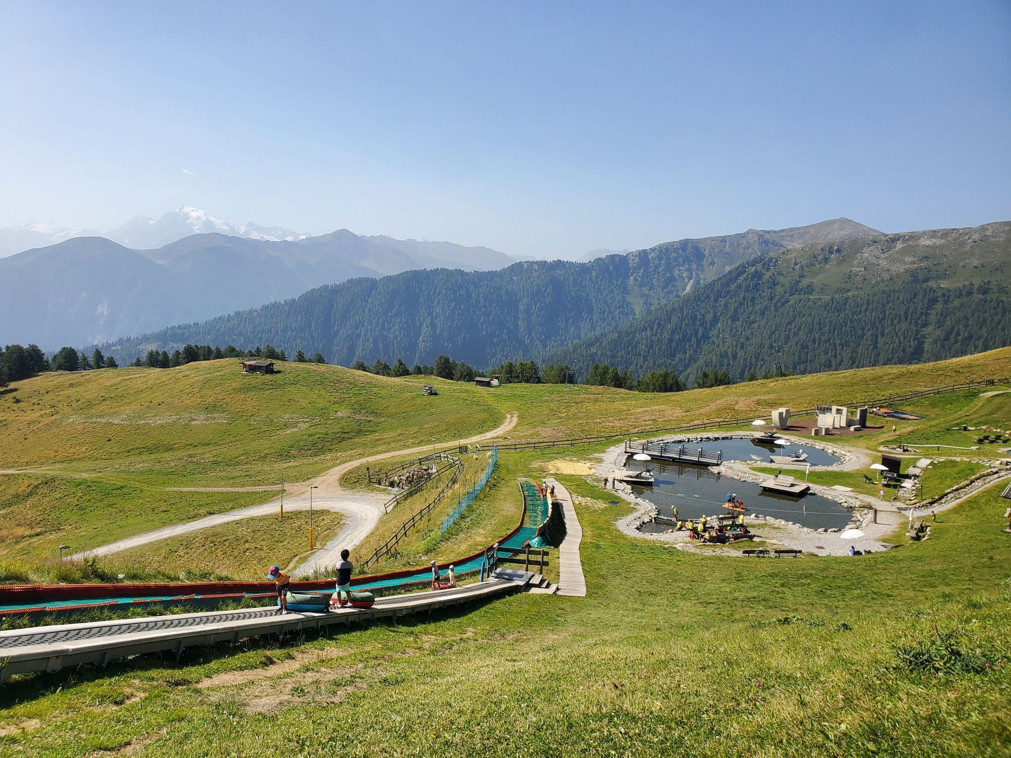
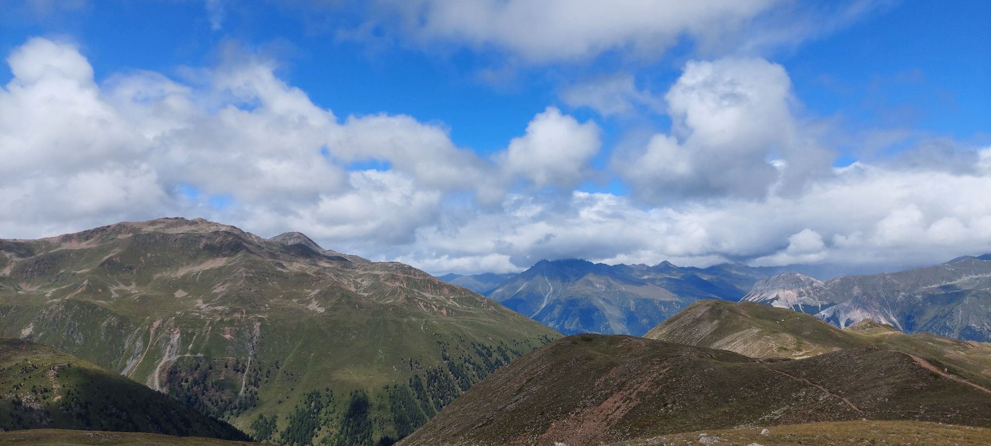
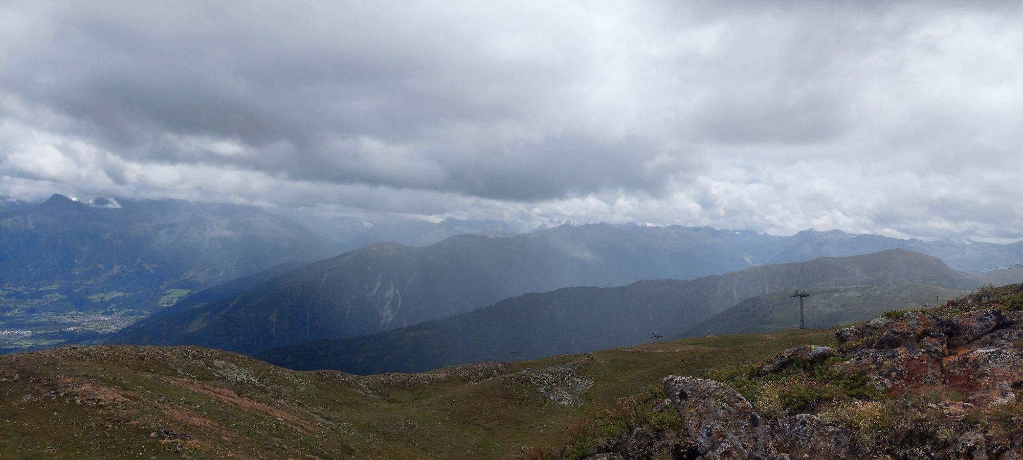
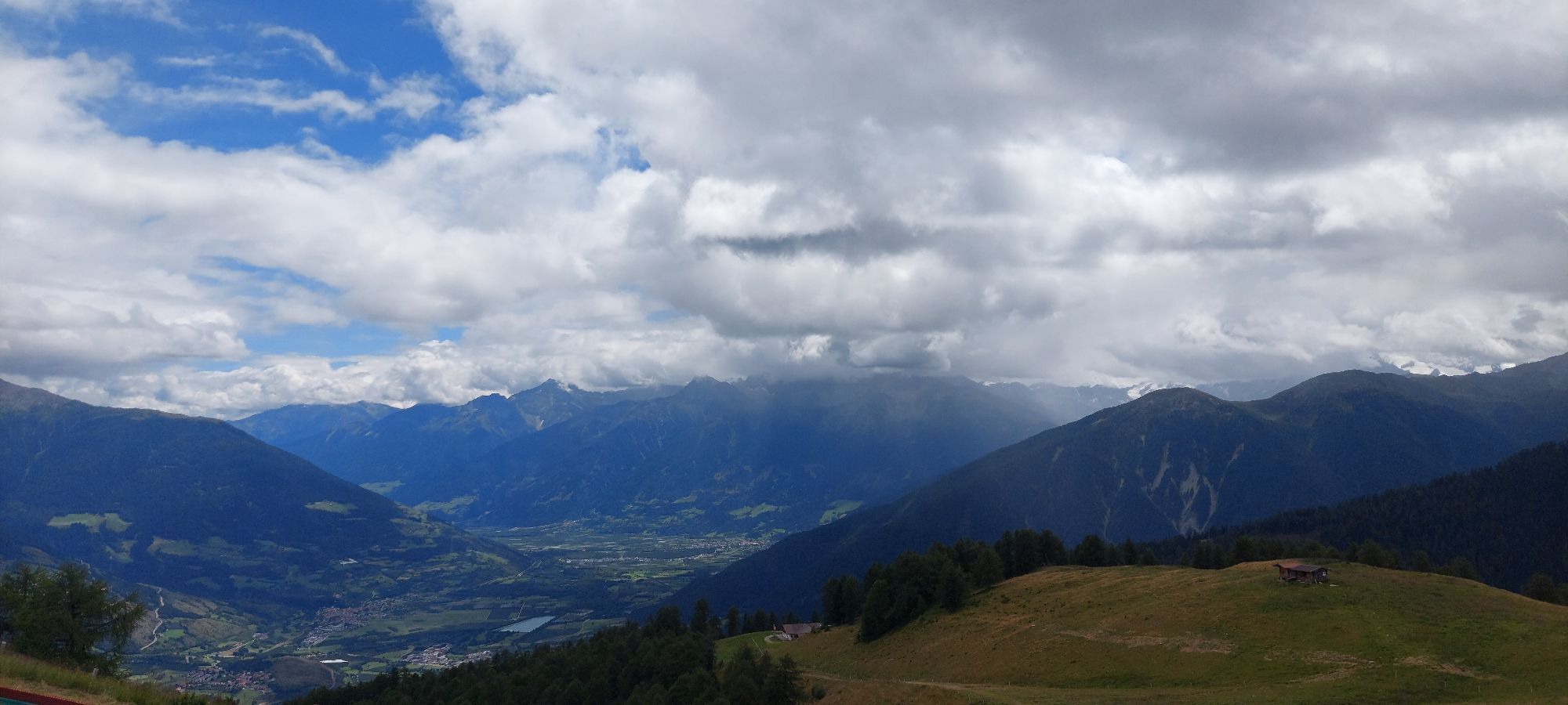
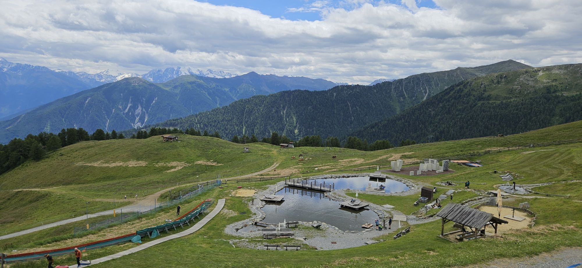
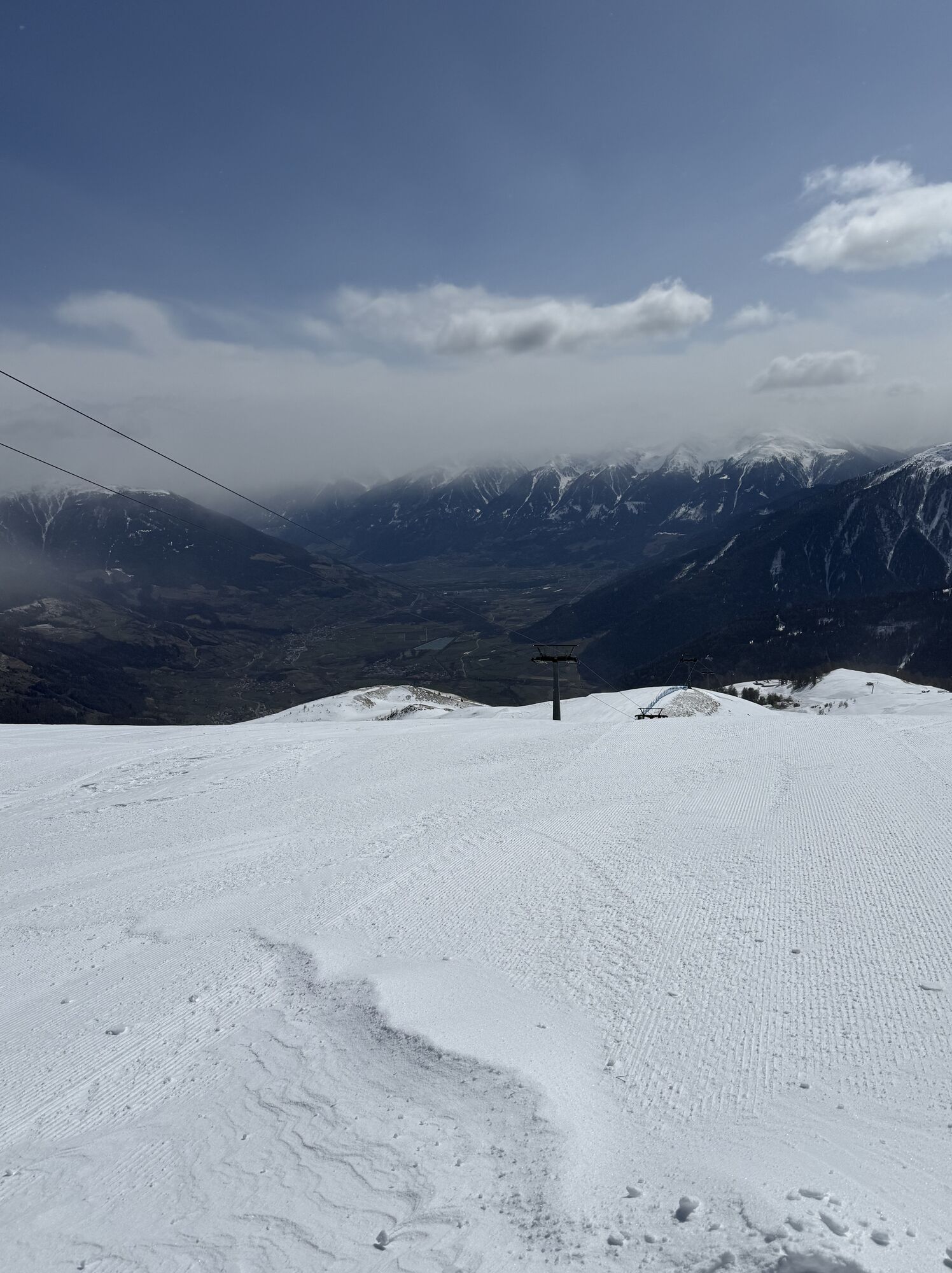
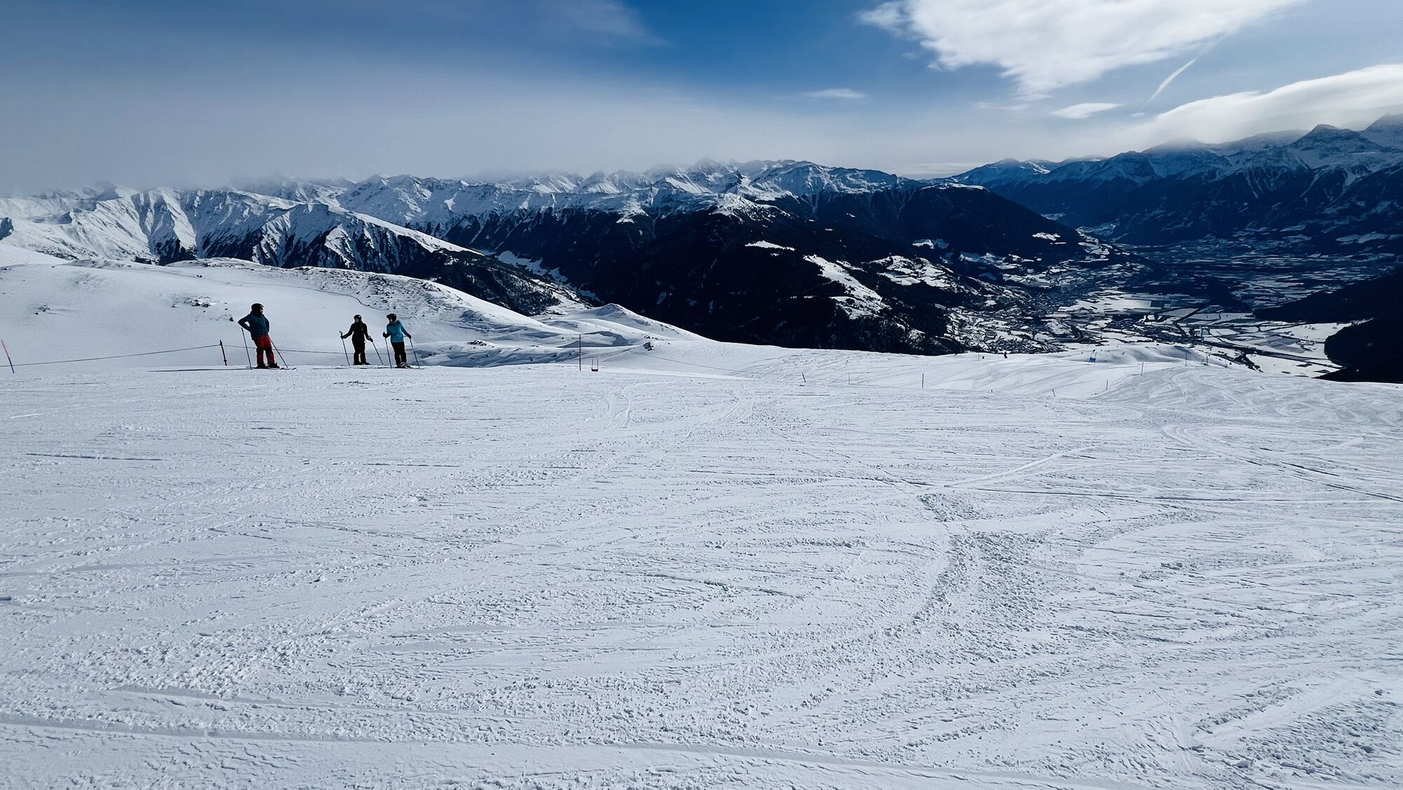
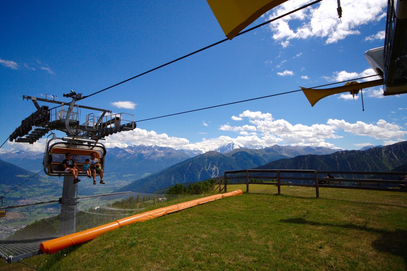
Arrive to valley station of the Watles with your own car or with public transport. Take the lift to the mountain station. From there you follow the well-signed way to the Piz Watles ("Watles Kreuz"). It...
Arrive to valley station of the Watles with your own car or with public transport.
Take the lift to the mountain station.
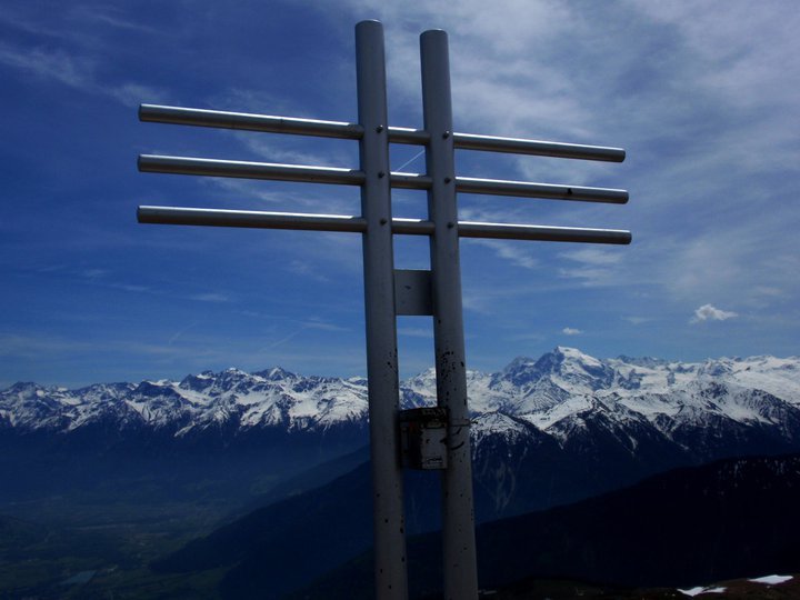
From there you follow the well-signed way to the Piz Watles ("Watles Kreuz"). It takes about 1,5 hours to arrive to the top of the mountain, where you have a unique panoramic view over the whole valley.
You return the same way as you arrived.
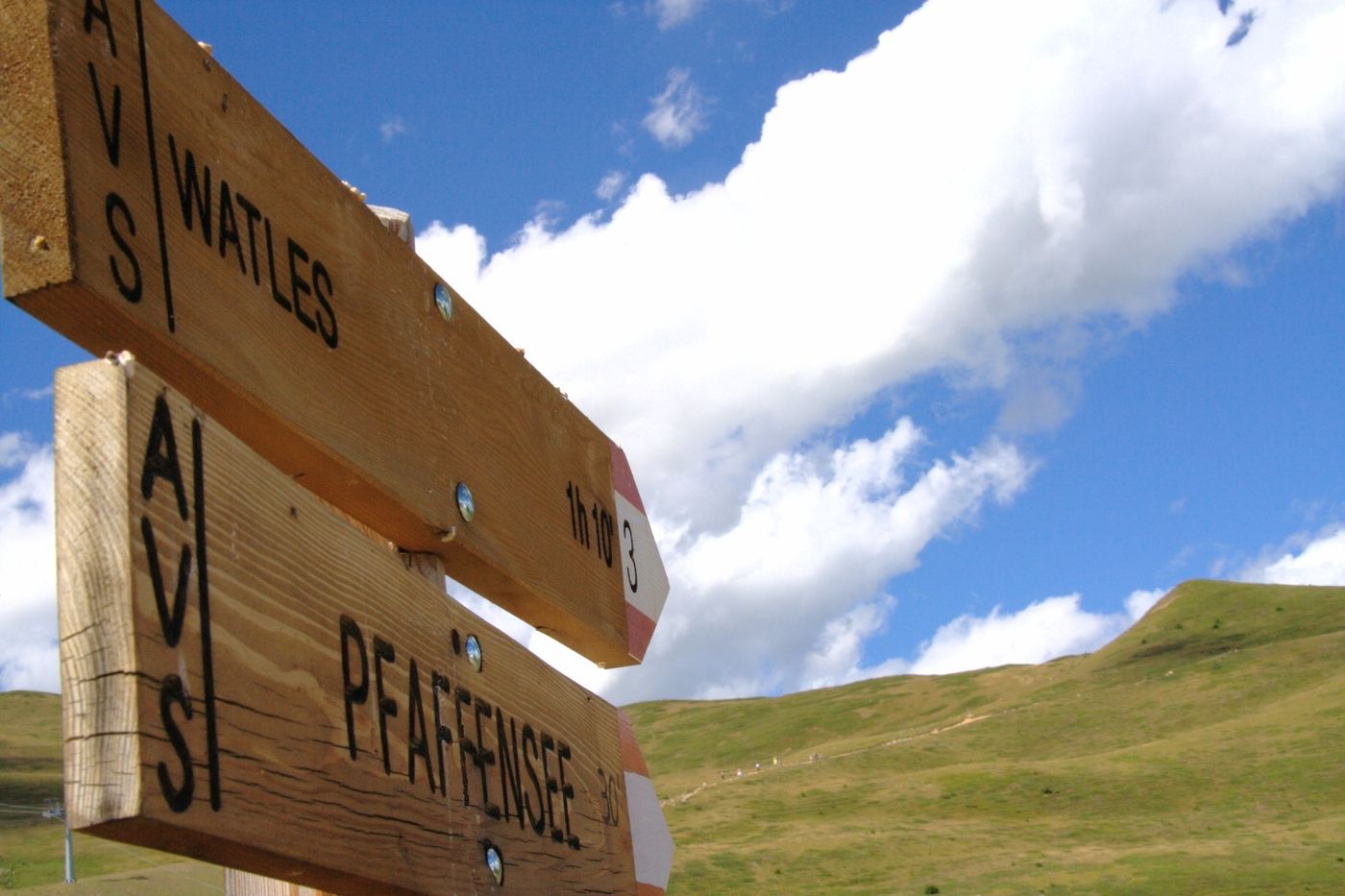

Plantapatschhütte
Áno
Áno
Áno
Áno
To the valley station of Watles
To the valley station of Watles

Webové kamery z prehliadky


Obľúbené výlety v okolí
-
4,3
Panoramaweg Schöneben Haider Alm
svetloTuristika 5,78 km -
5,0
Mountain restaurant Plantaptasch (without Lift)
strednáTuristika 3,42 km -
4,3
Reschensee
svetloTuristika 15,6 km -
4,2
Haidersee - Graun - Trentino-Alto Adige/Südtirol/Italia
svetloTuristika 4,99 km -
3,6
Nauders - Bergkastel - Plamort - Reschen - Nauders
strednáMountainbike 20,9 km -
4,4
Leonhardskapelle - Deiländerblick - Mein Dörfl Bar-Bungalov - Kapelle zum Hl. Martin
svetloCyklistika 29,2 km -
4,5
Rundwanderweg Wattles und Sesvenna
svetloTuristika 16,4 km -
4,8
Plamort
svetloTuristika 8,25 km -
4,8
NAUDERS | Grenzüberquerung
svetloTuristika 7,41 km -
5,0
Edelweißsteig- Leitenwool- Muntaschinig- Gongelegg - Schluderns
svetloTuristika 14,0 km
Turistika a stopovanie


Nenechajte si ujsť ponuky a inšpiráciu na ďalšiu dovolenku
Vaša e-mailová adresa bol pridaný do poštového zoznamu.





