







The infinite views from Oclini Pass

Úroveň náročnosti: 2
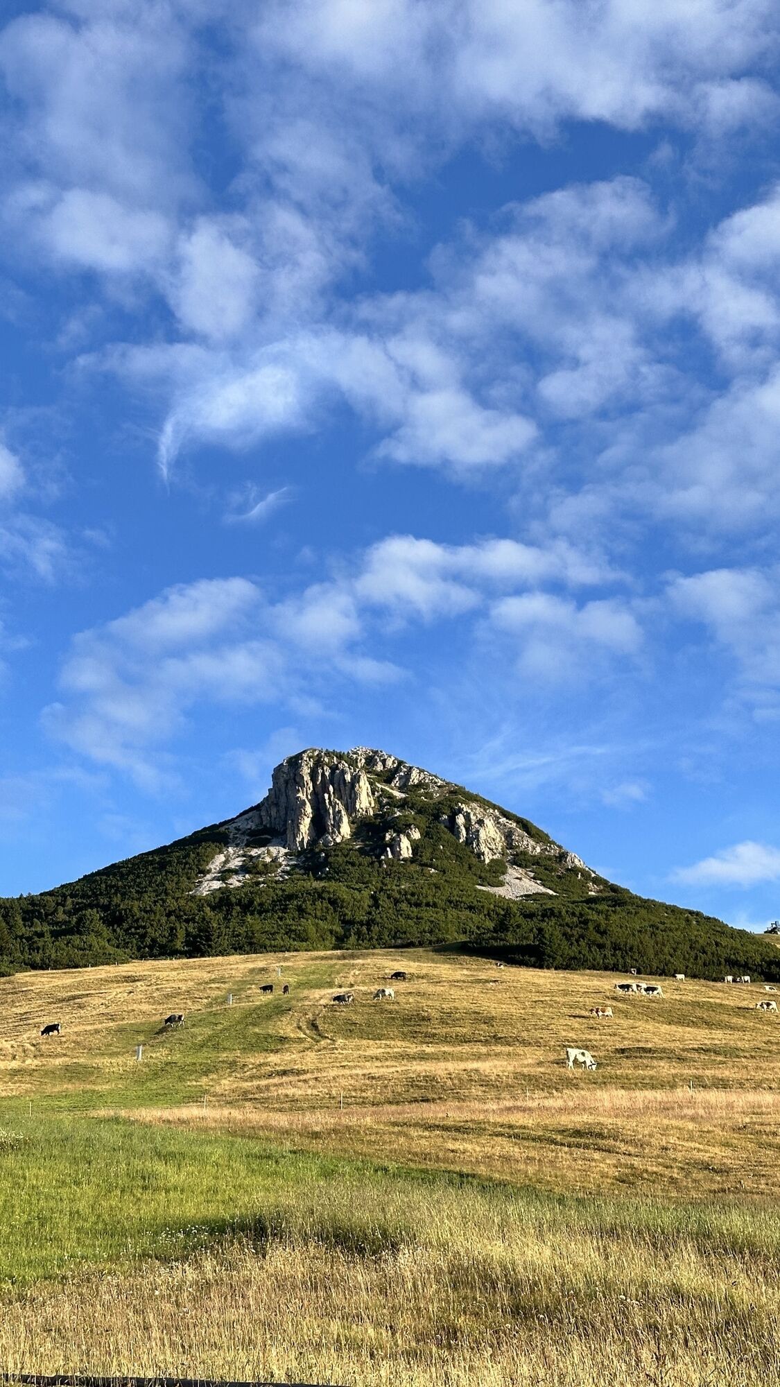
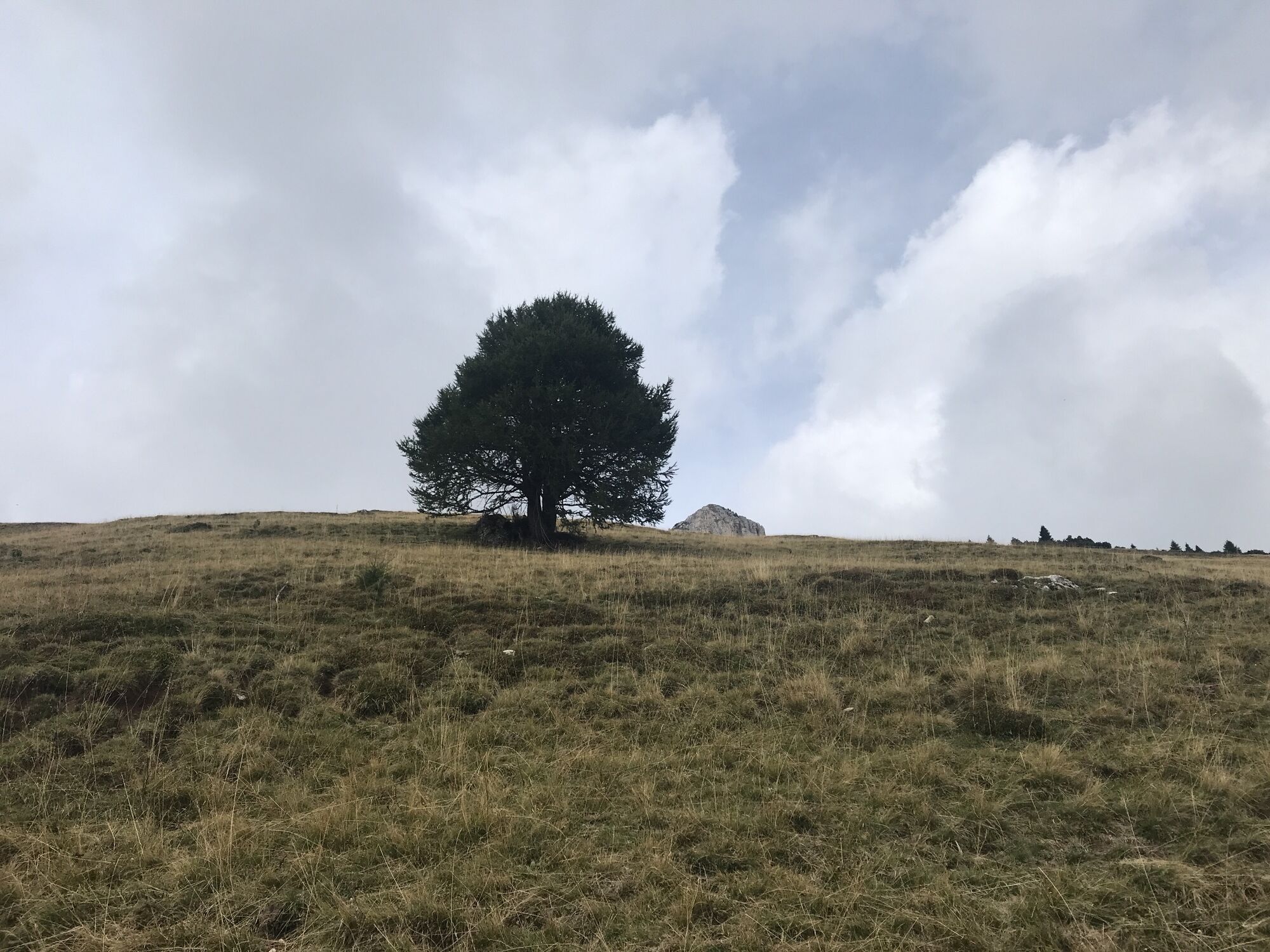
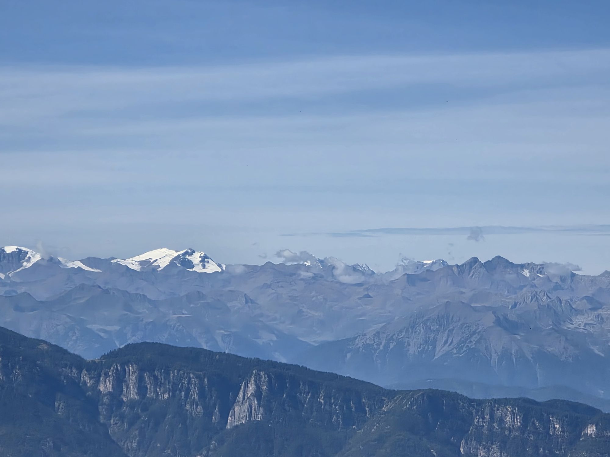
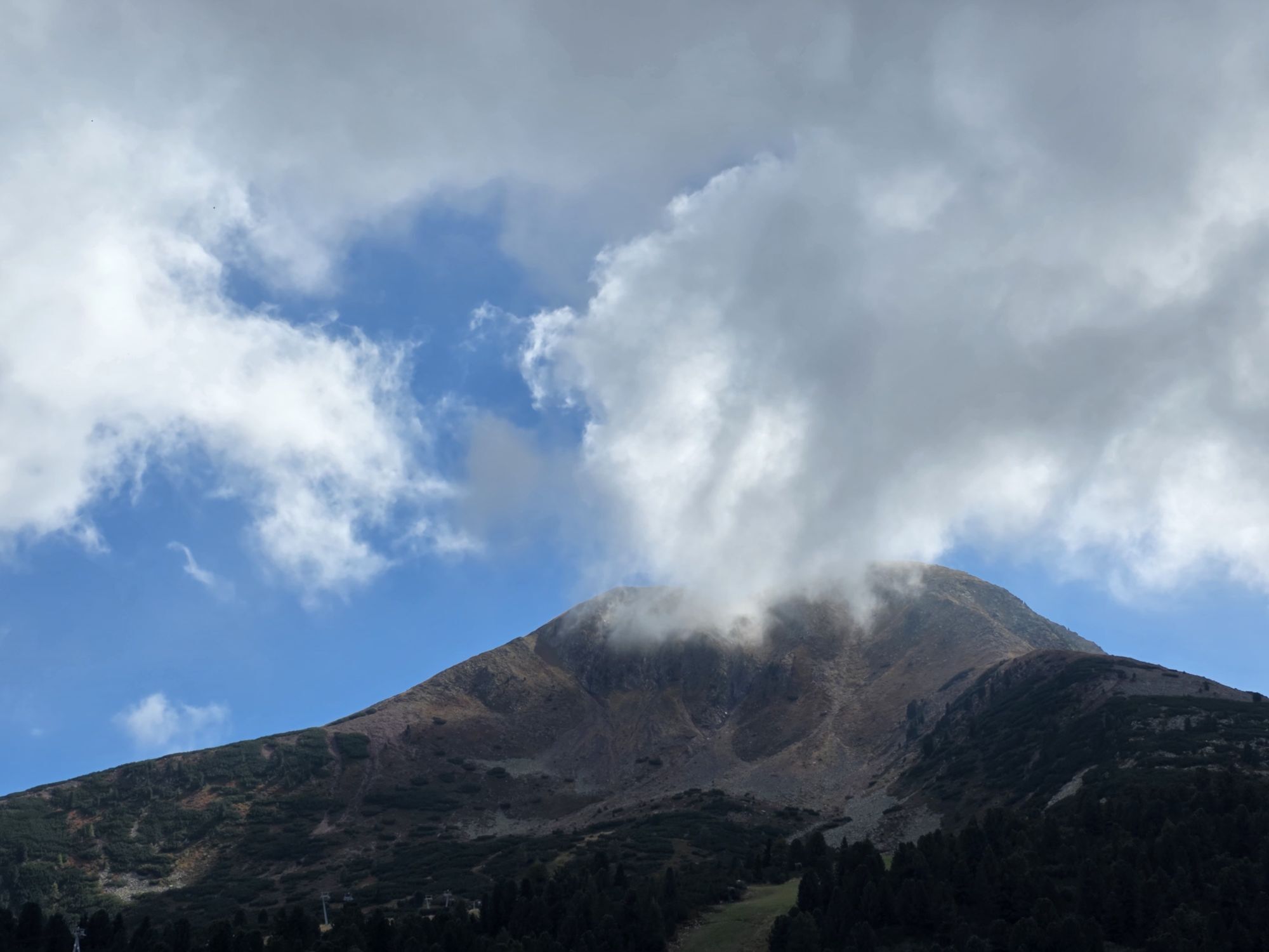
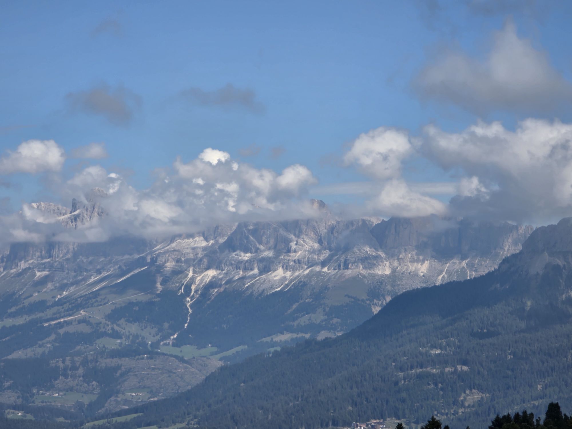
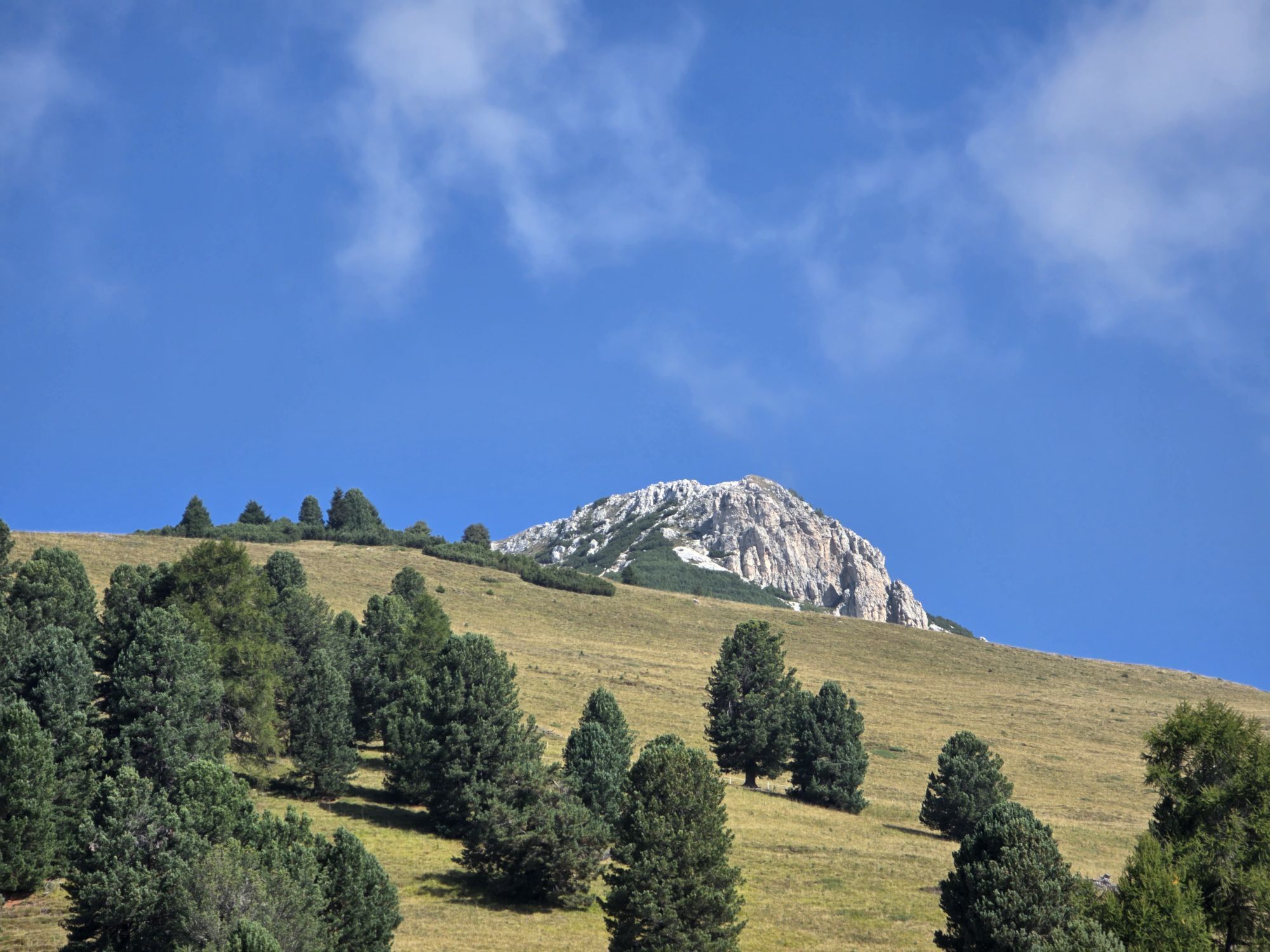
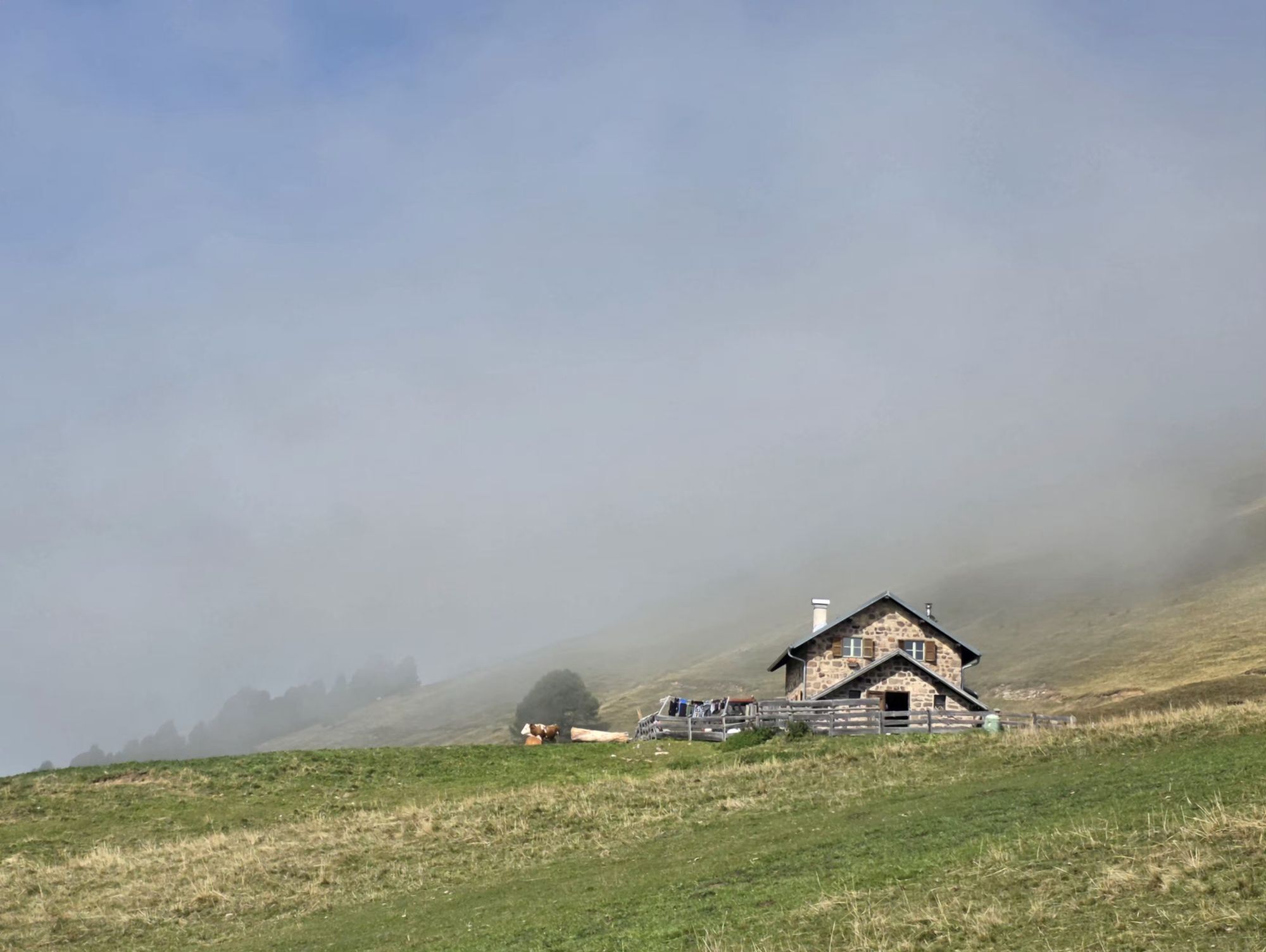
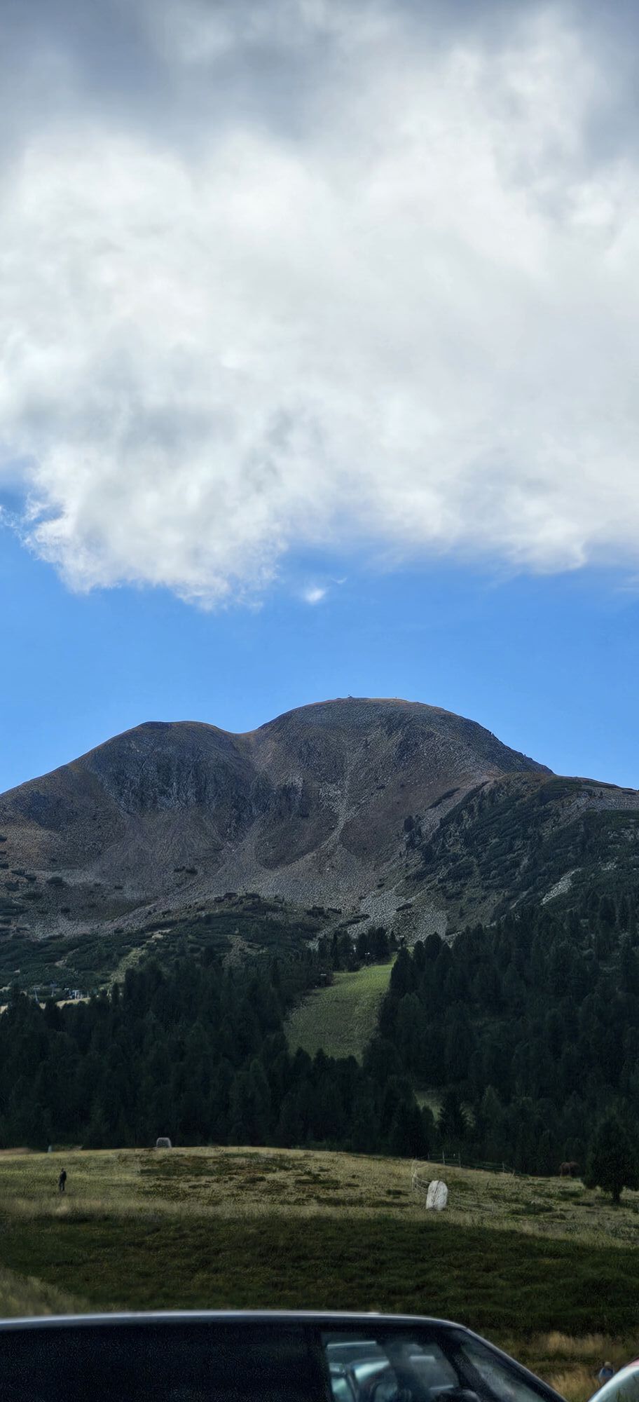
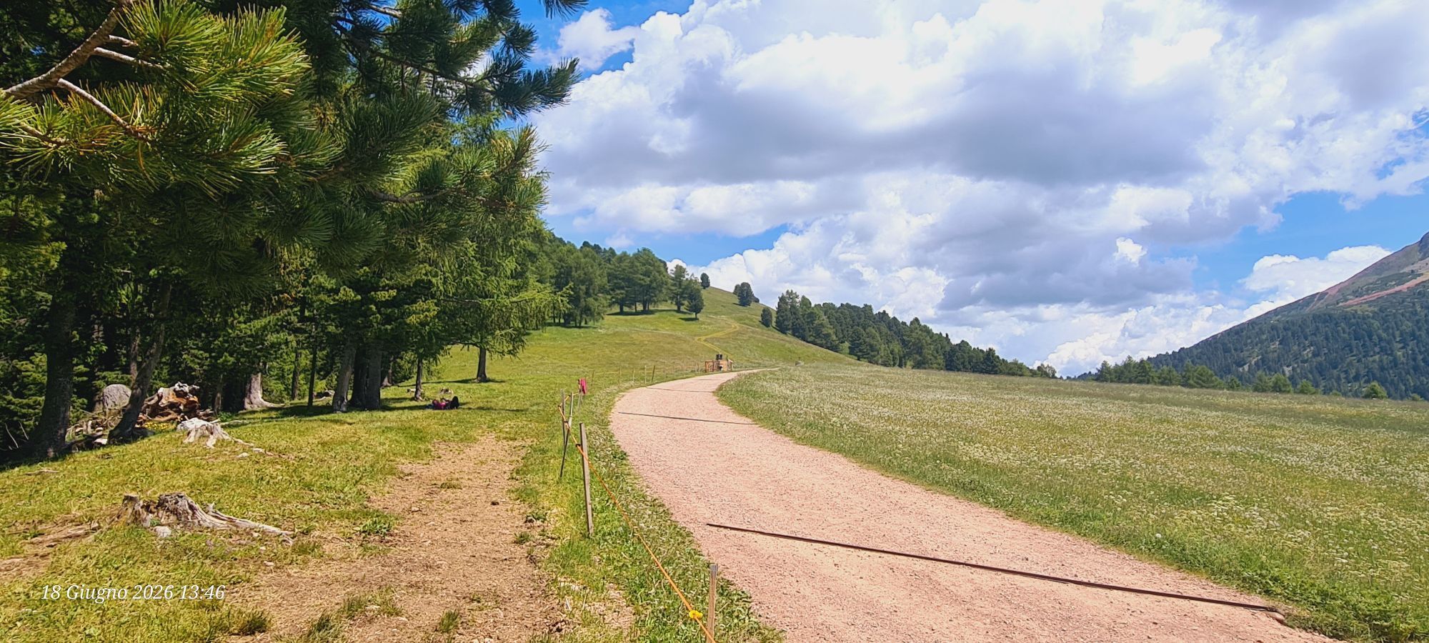
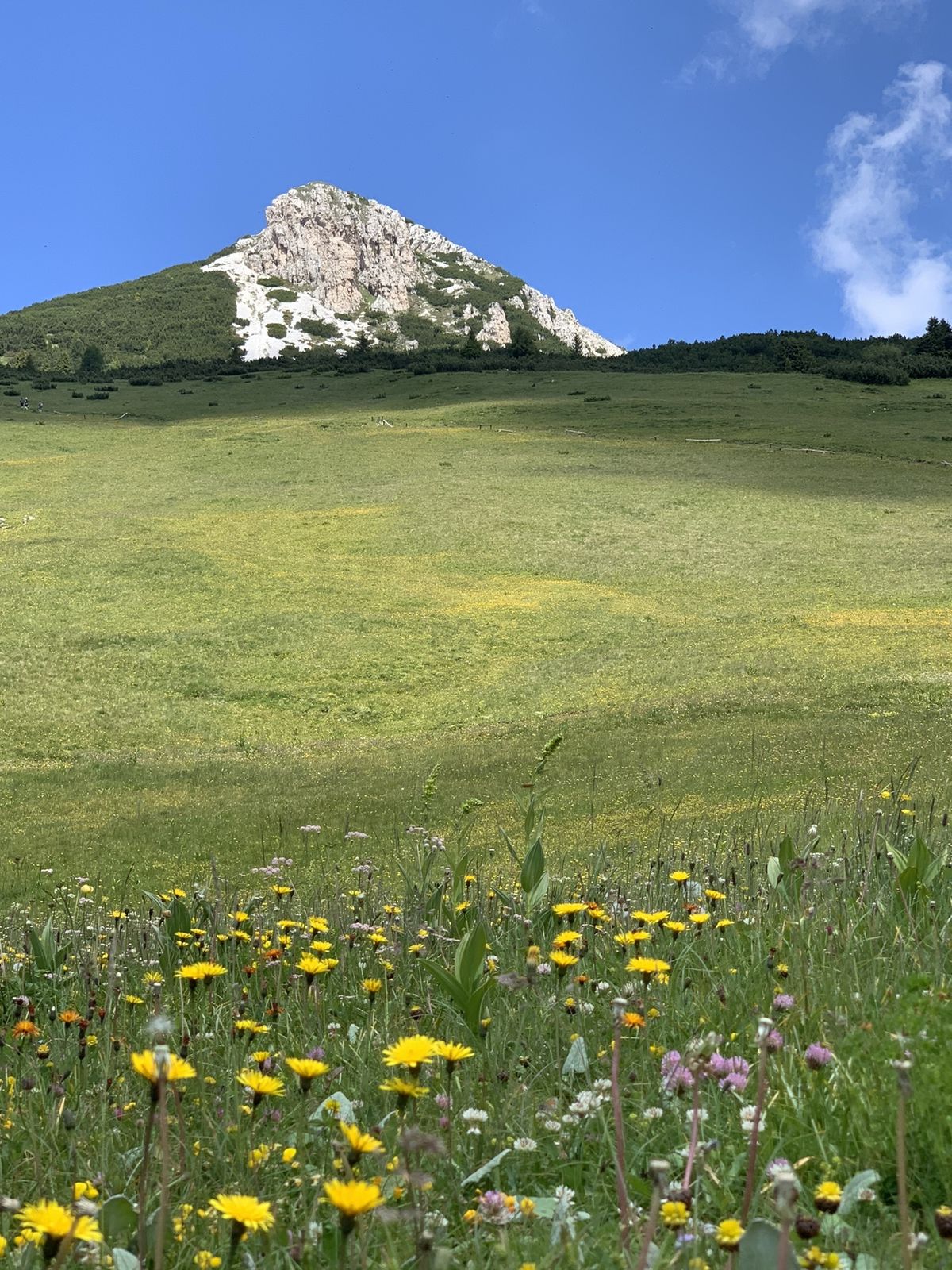
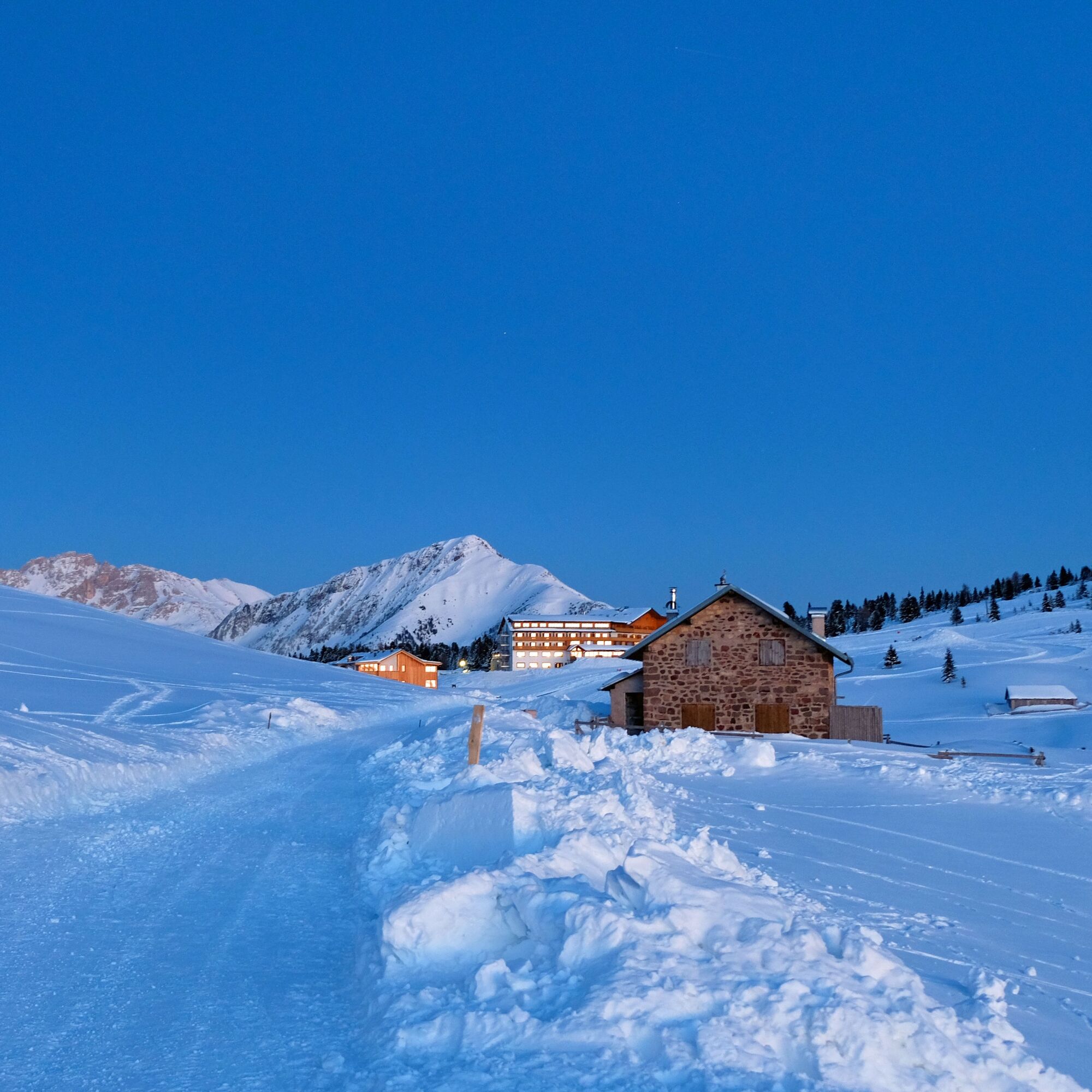
The bucolic winter environment of Passo Oclini will remain in your memory for a long time. In its smallness, this place satisfies several interests; in fact here you can practice both downhill skiing and...
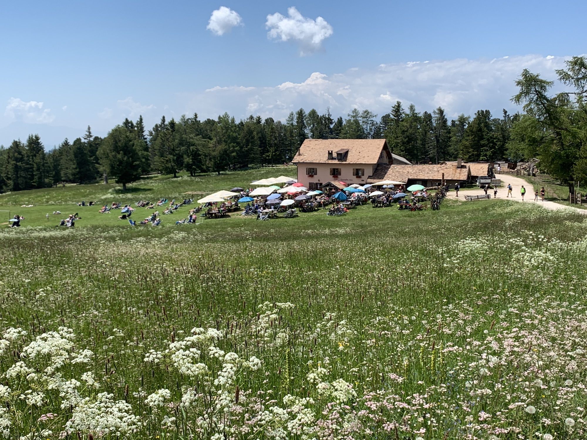
The bucolic winter environment of Passo Oclini will remain in your memory for a long time. In its smallness, this place satisfies several interests; in fact here you can practice both downhill skiing and cross-country skiing. Families with children find space to have fun with the sled or to play in the snow. The flat and then slightly downhill walk leads to the Gurndin hut. Continuing downhill you reach the Isi hut. From here a path leads back to the starting point.

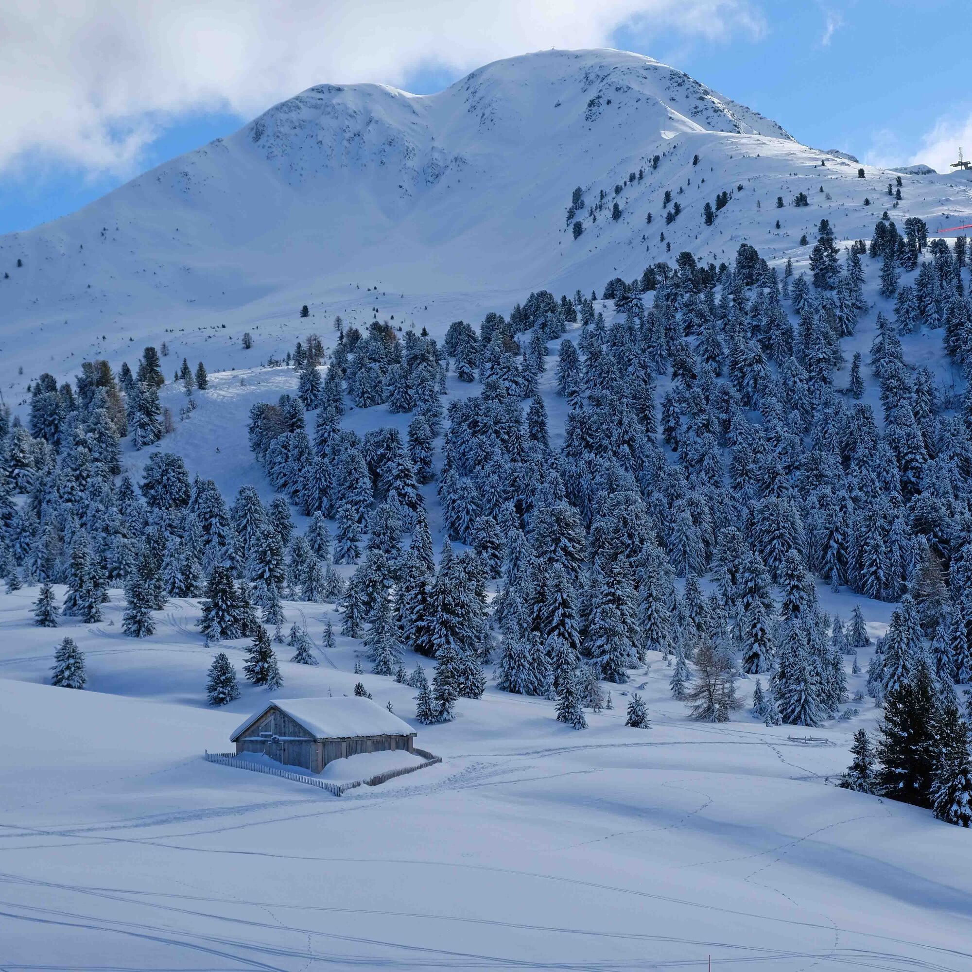
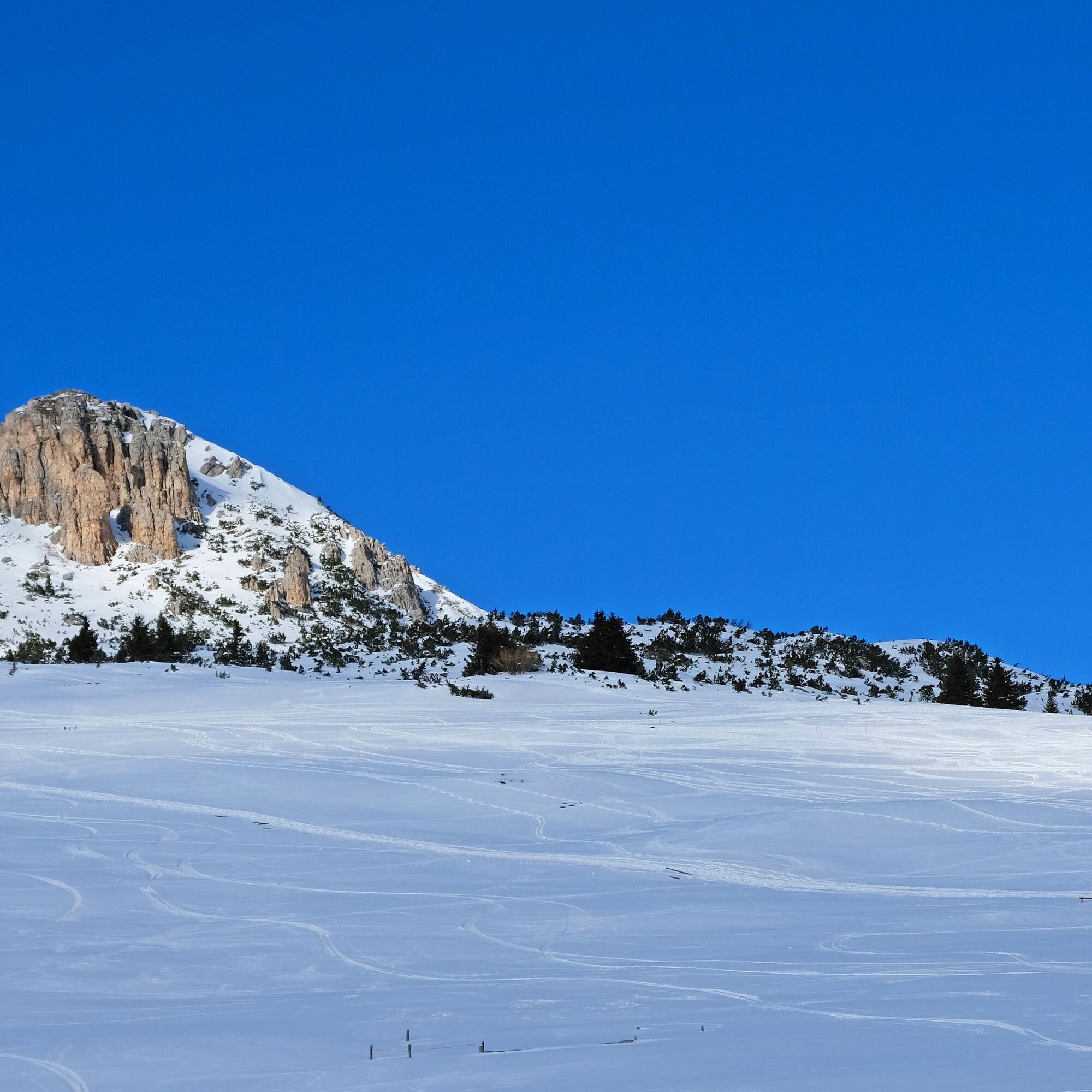
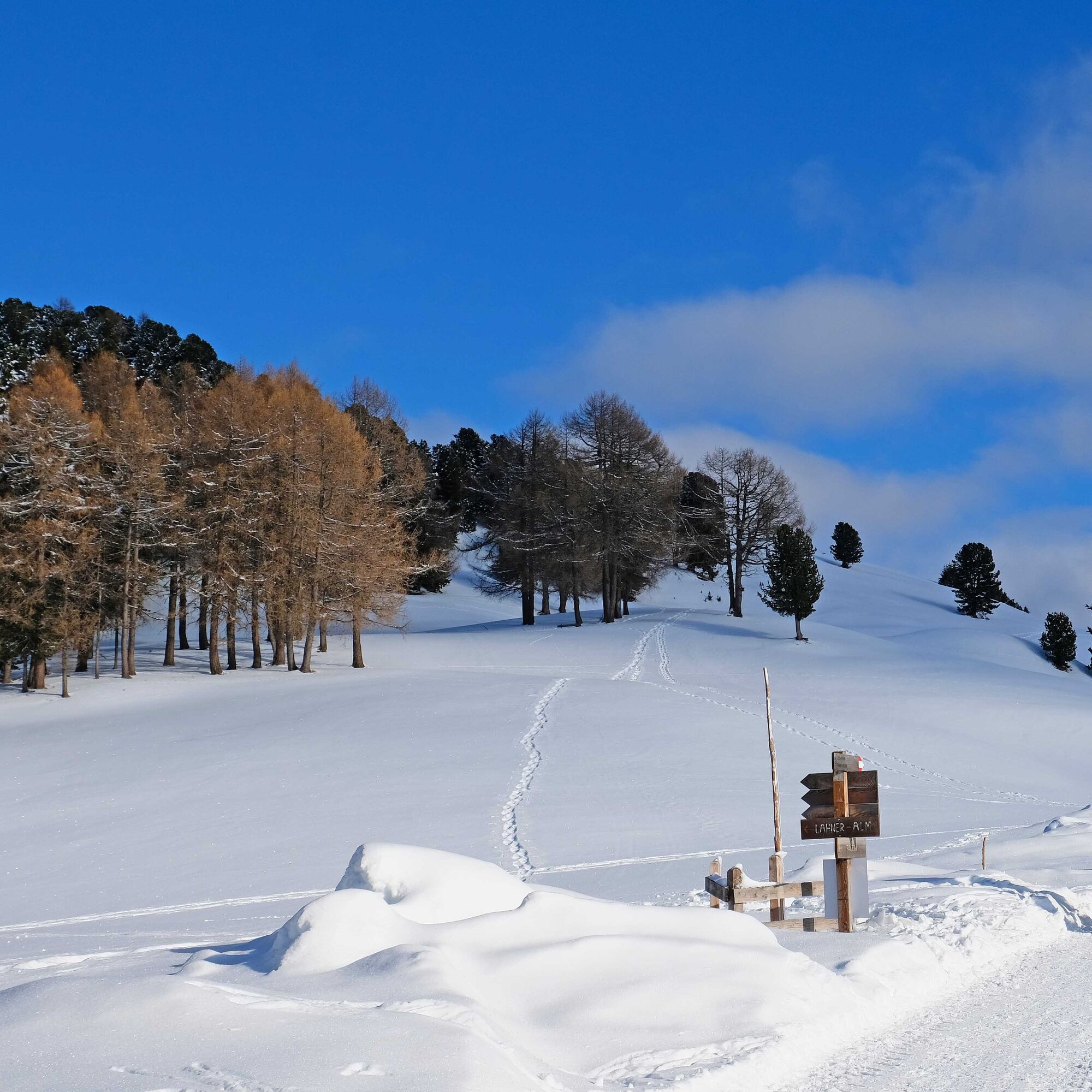
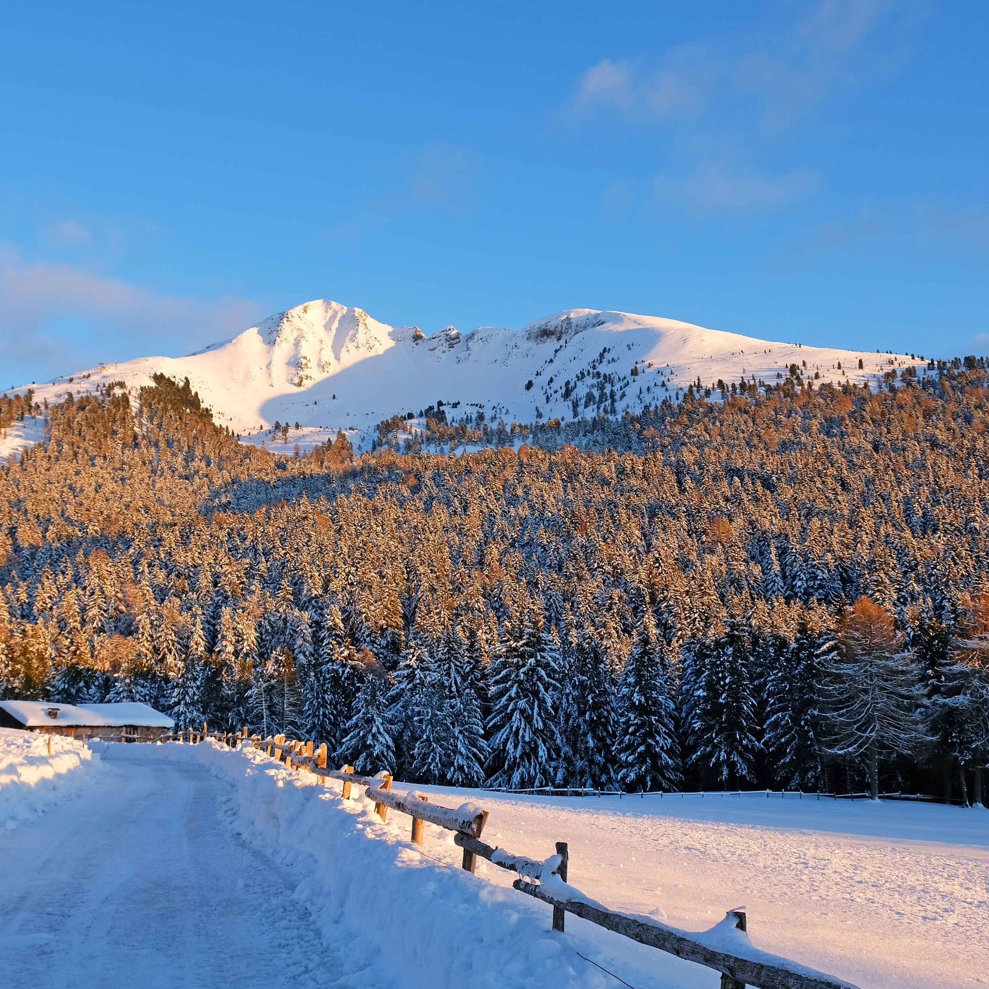

From Passo Oclini parking take the flat road for 45 minutes to Gurndin hut (malga). Continue along the road following signposts for the Isi Hütte hut. To return to the parking follow indications for the Passo Oclini along a trail leading through the snowy meadows.
Áno
Hiking shoes, hiking poles and warm winter clothes.
Experience walking along irregular mountain trails is recommended. It may happen that the path is not clear form snow. In the event of fresh snow, microspikes are recommended. Be careful of ice when temperatures are particularly low.
Please note that the practicability of the itineraries in a mountain environment is strictly linked to the contingent conditions and is therefore influenced by natural phenomena, environmental changes and weather conditions. For this reason, the information contained in this page may have changed. Before leaving for a tour, make sure the path you will approach is still accessible by contacting the owner of the mountain hut, the alpine guides or the visitor centres of the nature parks, the info offices of the local tourist board.
From Cavalese take the road direction Varena and Passo Lavazè. From Predazzo drive first to Tesero and then to Passo Lavazè. From the pass turn left direction Passo Oclini.
The skibus connects Cavalese with Passo Oclini.
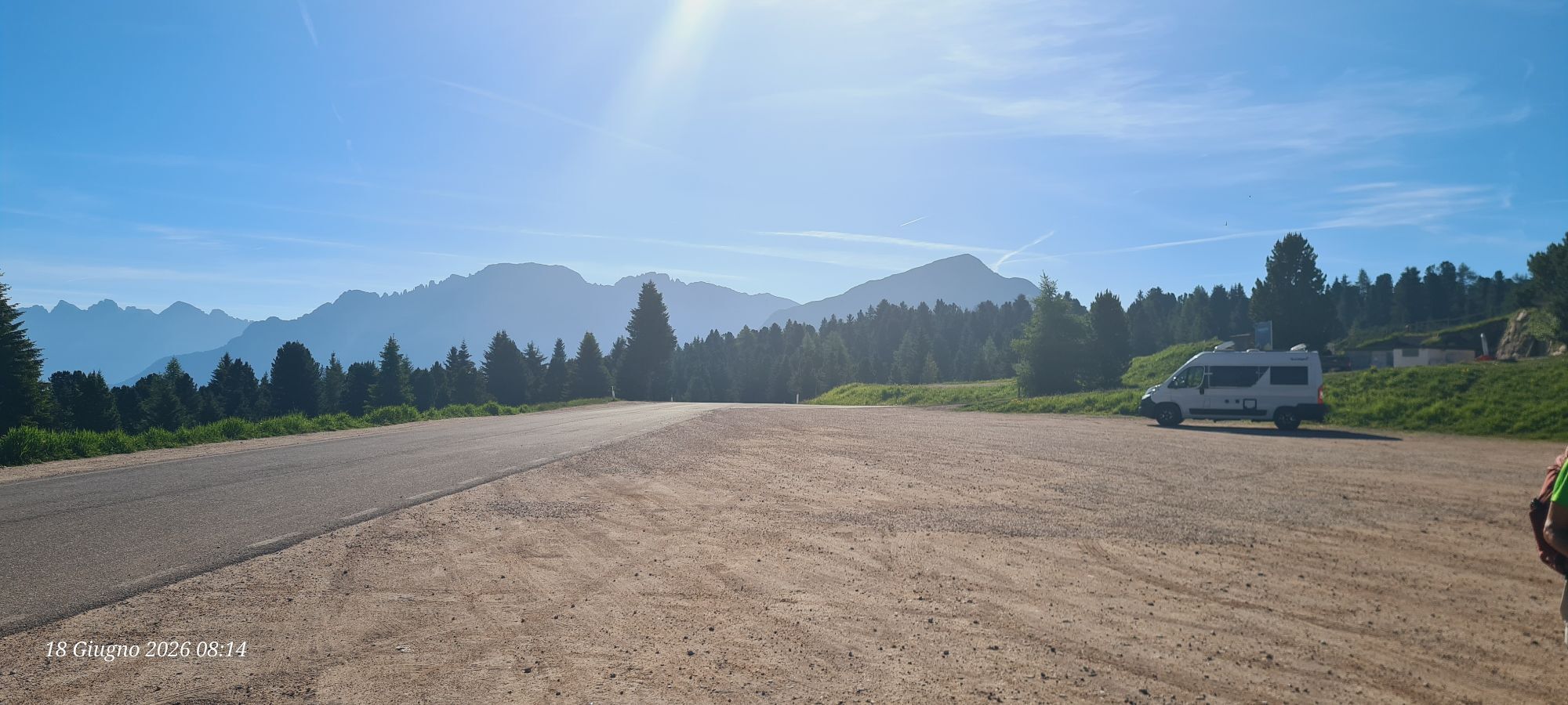
Huge parking lot at Passo Oclini.
2
APT Val di Fiemme - Tel. +39 0462 241111 - info@visitfiemme.it - www.visitfiemme.it
If you are at Passo Oclini in the late afternoon, we advise you to wait for the sunset to admire the Enrosadira on the Latemar and on the Catinaccio.


Webové kamery z prehliadky

Aktivity počas prehliadky
-

Jochgrimm Gurndinalm
22.09.2026 – Turistika -

Aldein, Trentino-Südtirol/Italien
01.09.2026 – Turistika -

Aldino, Trentino-Alto Adige/Italia
19.07.2026 – Turistika -
Aldein, Trentino-Südtirol/Italien
10.03.2026 – Turistika -
Aldein, Trentino-Südtirol/Italien
05.01.2026 – Turistika -

Aldino, Trentino-Alto Adige/Italia
26.08.2025 – Turistika
Obľúbené výlety v okolí
-
4,9
Torre di Pisa mountain hut
strednáTuristika 9,09 km -
4,9
SÜDTIROL | Rastenbachklamm
strednáTuristika 7,03 km -
4,5
EPPAN St. Michael Montiggler Seen v. 23.10.2018
svetloTuristika 5 km -
4,7
Malga Cislon
strednáTuristika 9,37 km -
3,3
Seerundwanderung mit Naturlehrpfad am Kalterer See
Turistika 7,30 km -
5,0
Latemar Umrundung - die Kurze und Bequeme
strednáTuristika 12,1 km -
4,9
Latemar.Panorama
svetloTematická trasa 7,83 km -
4,8
Tour of Monte Cornon
strednáTuristika 7,65 km -
4,8
Weißhorn
strednáTuristika 6,64 km -
4,8
Latemar Panorama
strednáTuristika 11,7 km

Turistika a stopovanie


Nenechajte si ujsť ponuky a inšpiráciu na ďalšiu dovolenku
Vaša e-mailová adresa bol pridaný do poštového zoznamu.





