


Climb Malvaglia – Dagro
Úroveň náročnosti: 4
The Malvaglia climb develops in the heart of the Blenio Valley in the Canton of Ticino and is an ideal route for those who love cycling and nature. Starting from the valley floor near Malvaglia, the road...
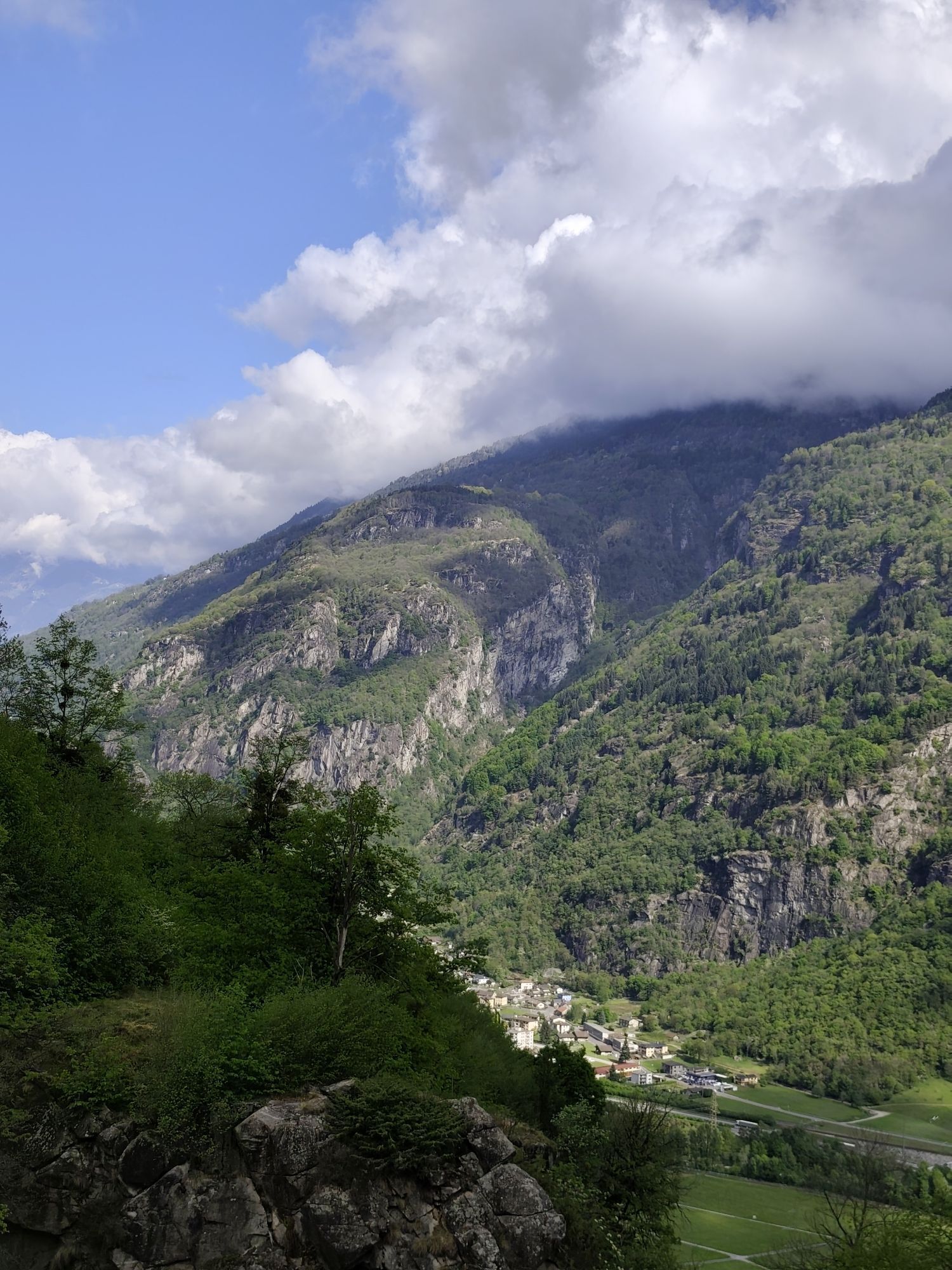
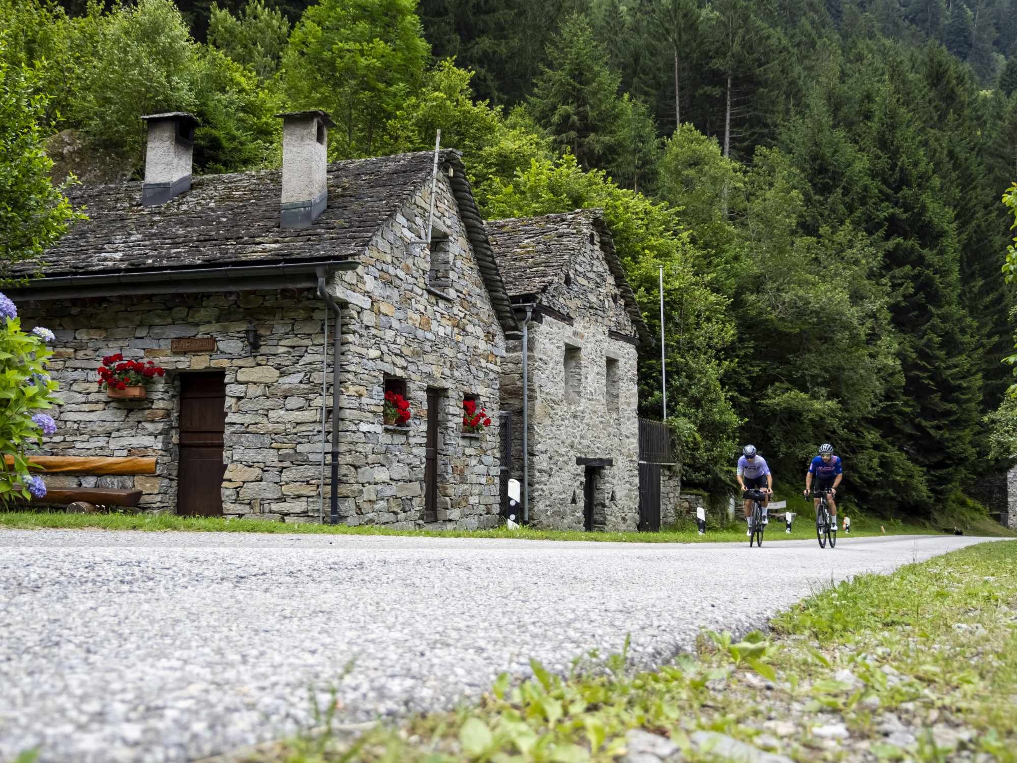
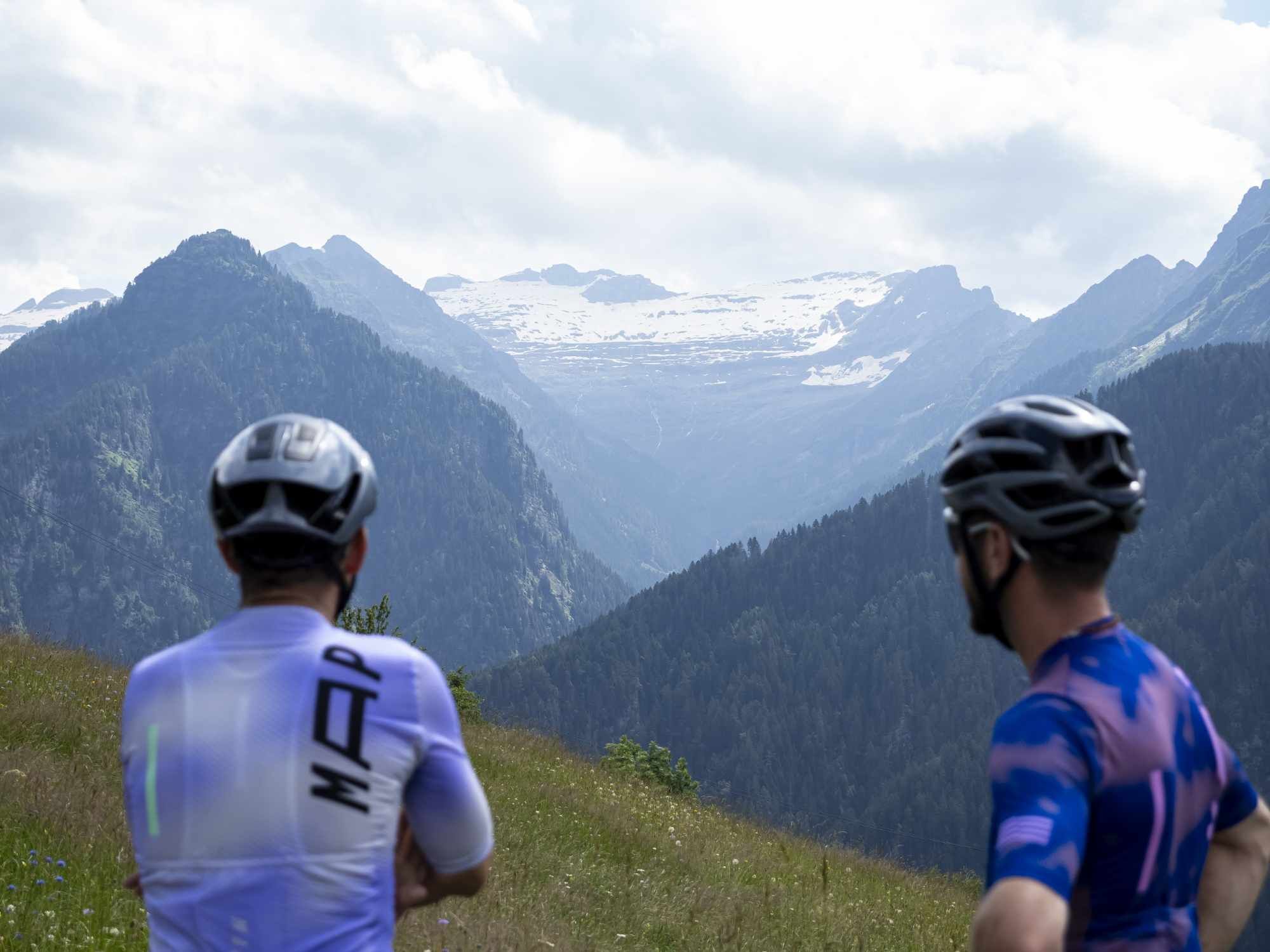
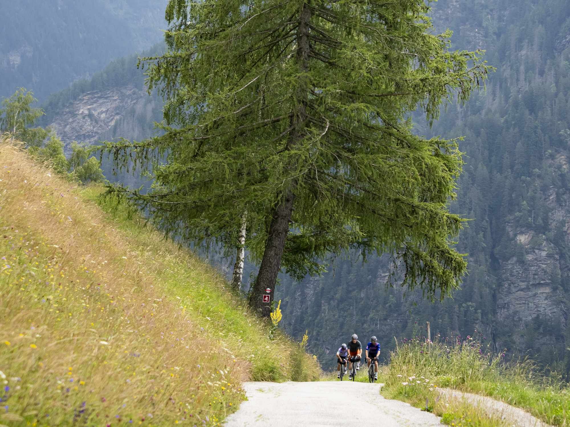
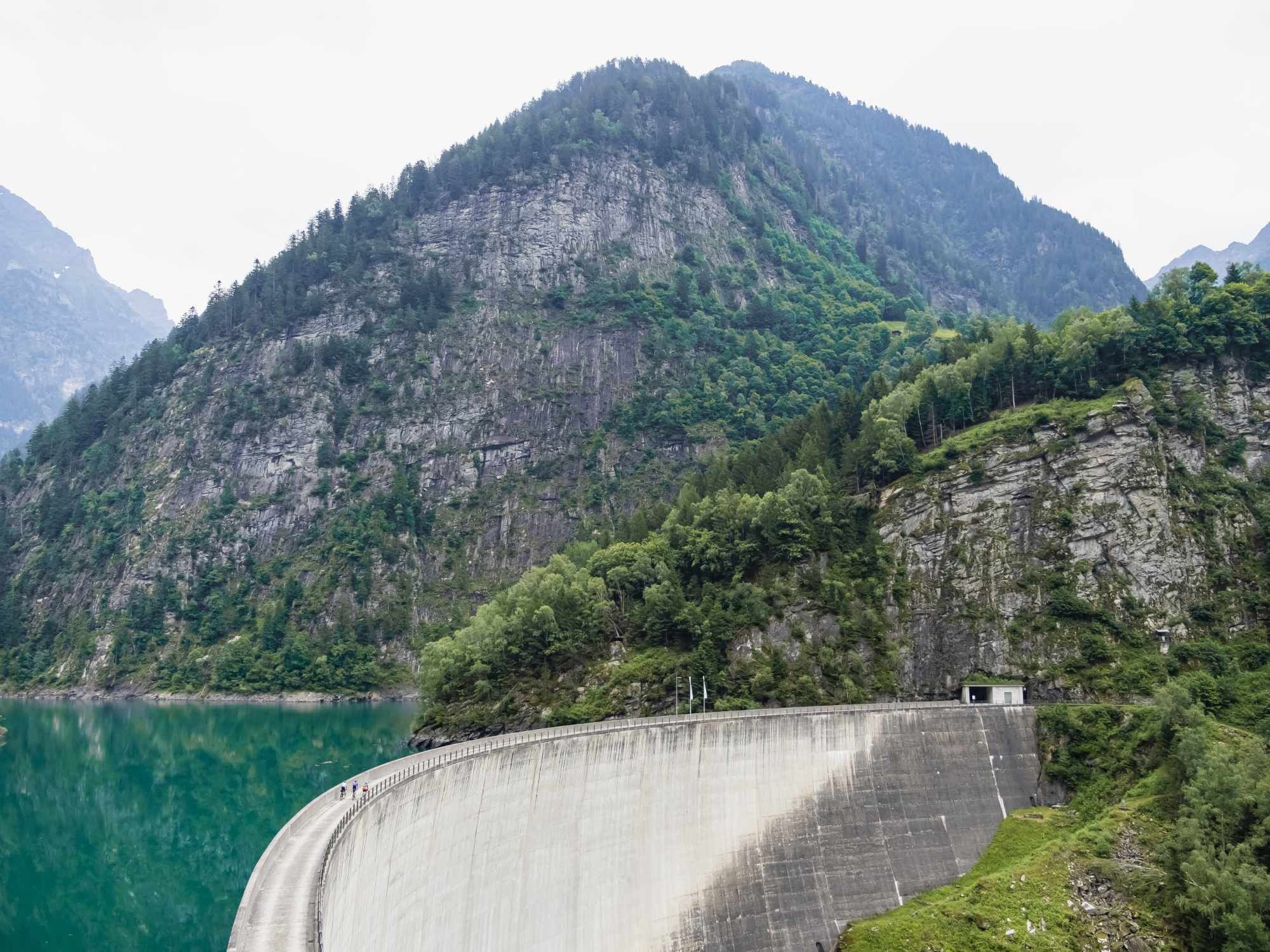
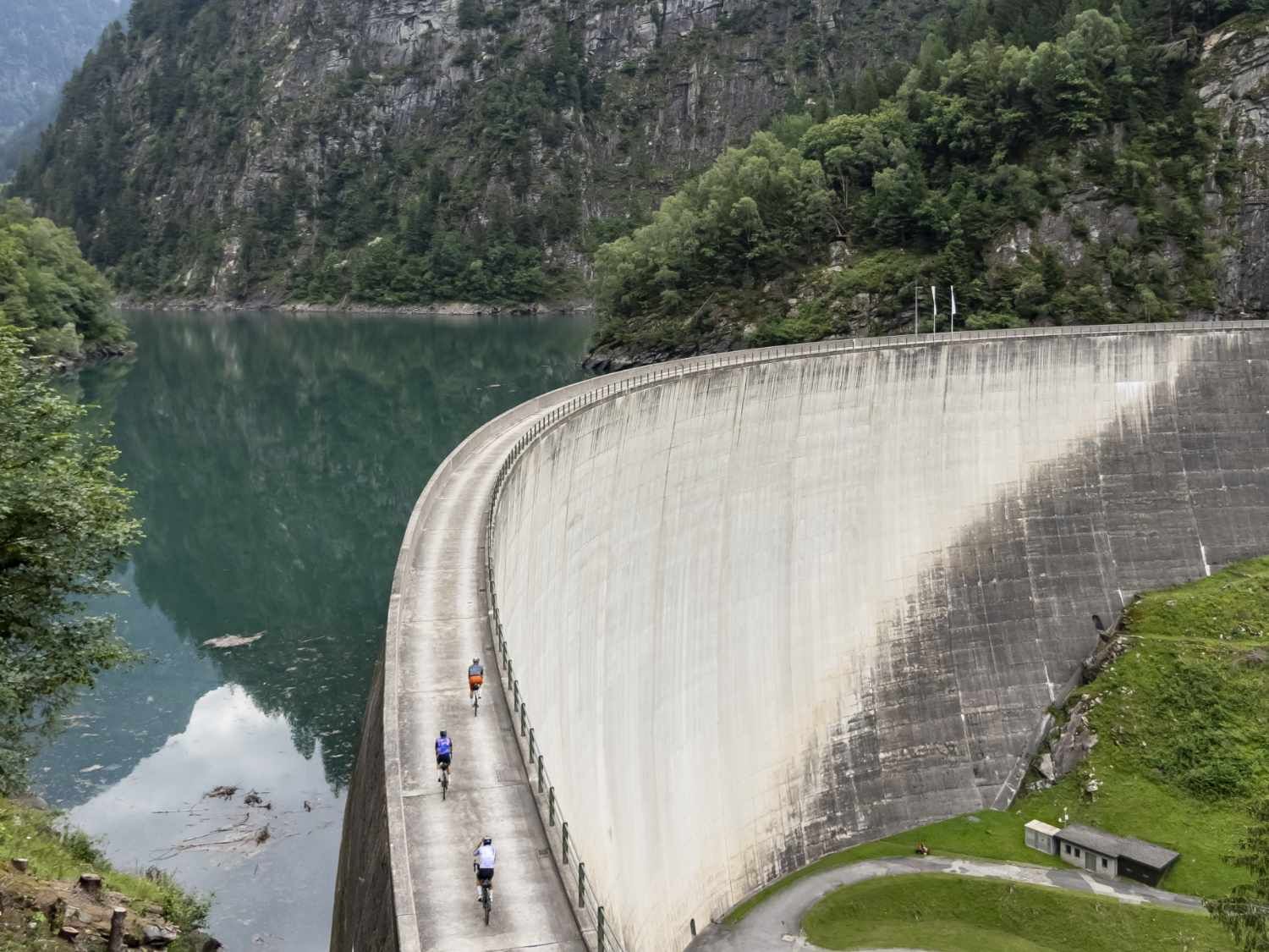
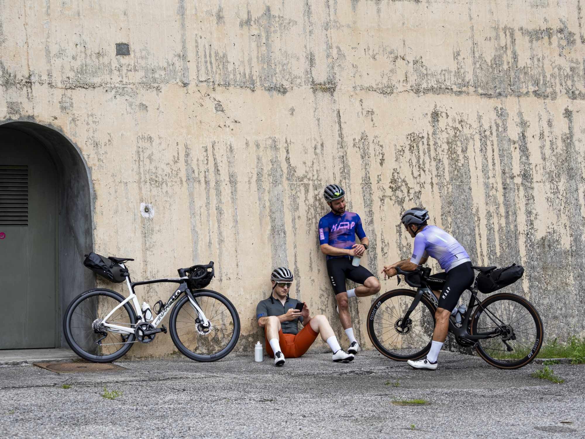
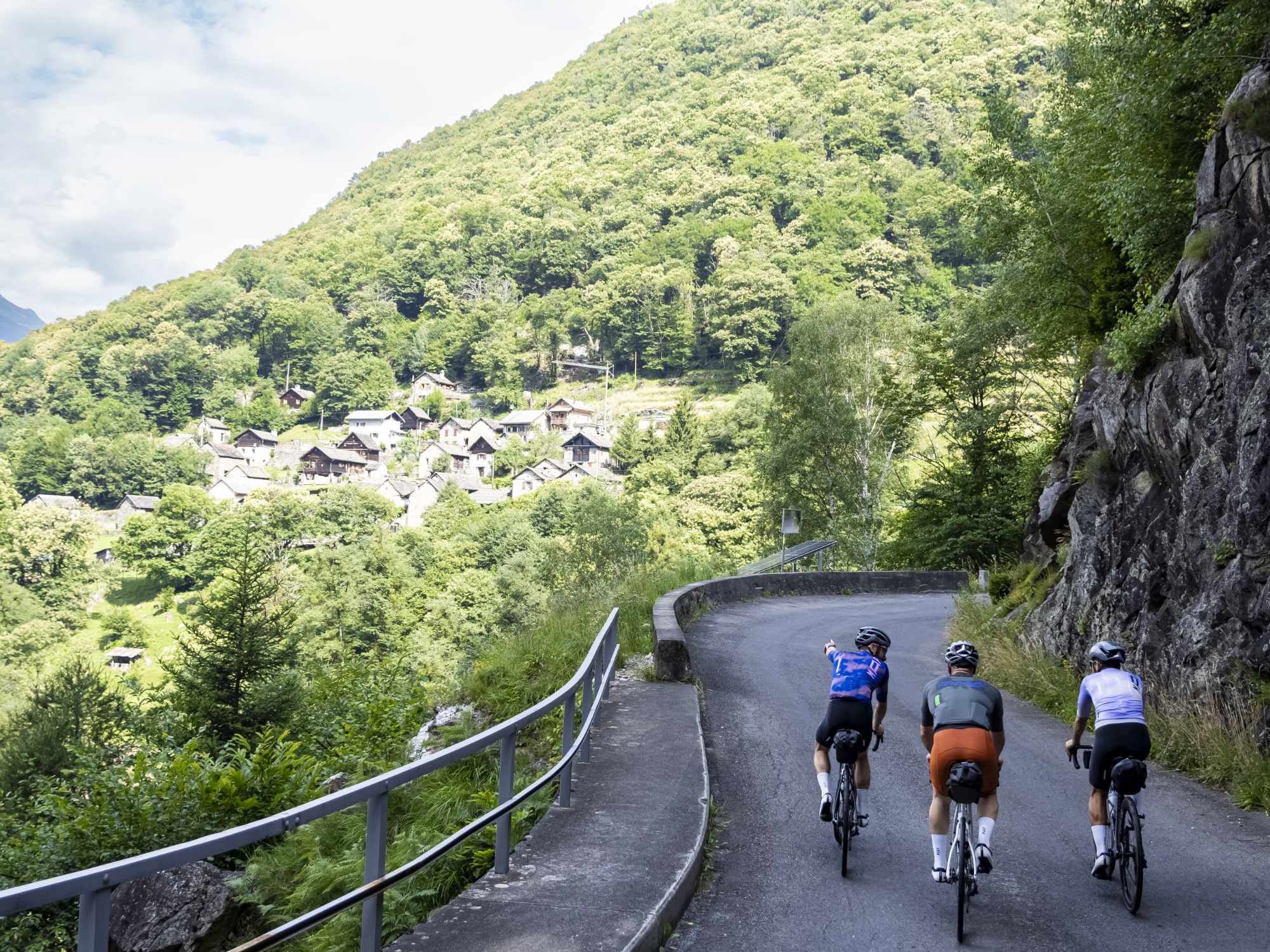
The Malvaglia climb develops in the heart of the Blenio Valley in the Canton of Ticino and is an ideal route for those who love cycling and nature. Starting from the valley floor near Malvaglia, the road climbs progressively through an increasingly peaceful and green environment. The route is about 20 km long with an elevation gain of over 1,100 metres. The first section is more regular and follows village roads and paved stretches, allowing a gradual build-up of rhythm. As the climb continues, the surroundings become more natural and quiet, with forests and panoramic sections accompanying the ride. In the final part, the road becomes more demanding and the alpine environment more evident, offering beautiful views over the valley below. The route alternates between asphalt and cobbled sections, making the experience varied and distinctive. It is a climb suited to cyclists and sports enthusiasts looking for a challenging route immersed in an authentic natural setting, far from traffic and urban noise.

The route begins near Malvaglia, in a flat and inhabited area. You ride on asphalt with a gentle gradient, ideal for warming up and finding your rhythm.
Leaving the village
Once past the built-up area, the road begins to climb more steadily. You pass through open sections and the first hairpins, with generally low traffic.
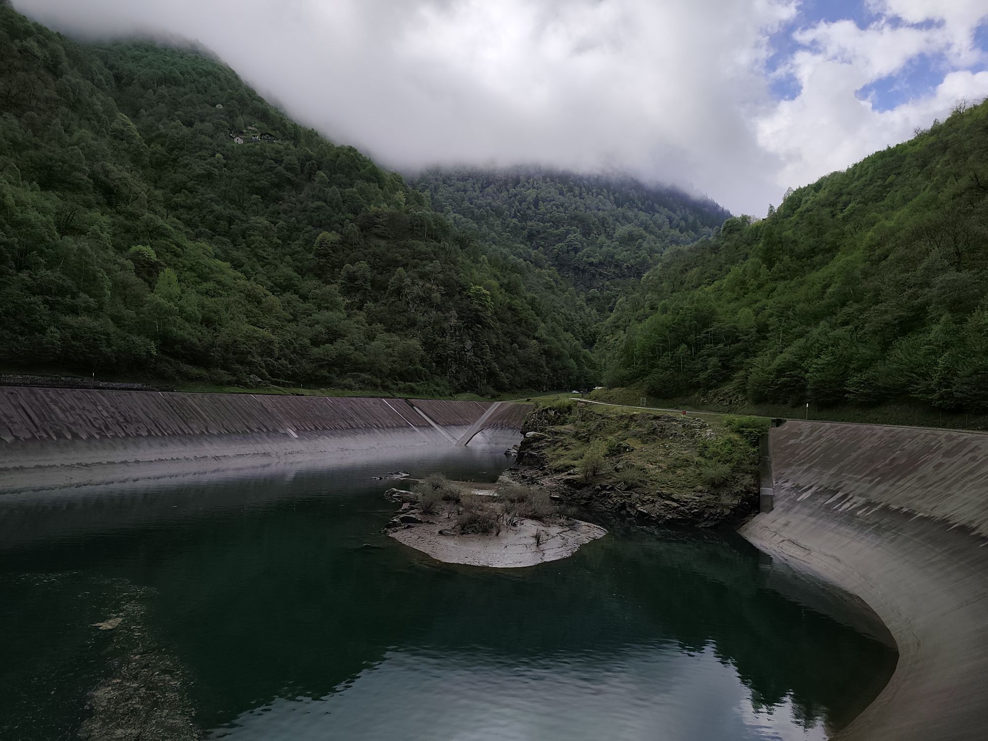
Section through the forest
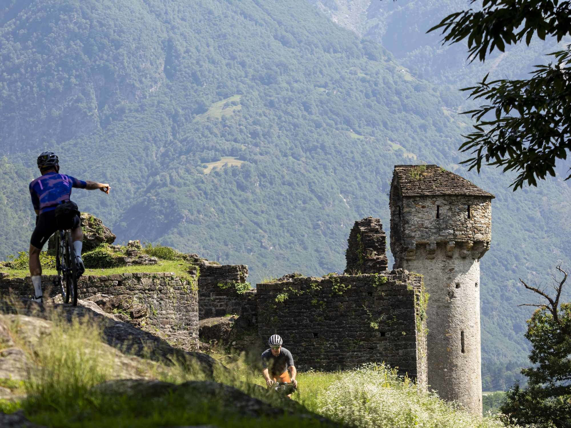
The climb gradually enters a quieter, more natural environment. The route becomes greener, with regular gradients and a mixed surface of asphalt and rougher sections.
Intermediate section with varying gradients
The route becomes more demanding, with some steeper sections and partially cobbled surfaces. The pace becomes more constant and requires good effort management.
Final part of the climb
In the last kilometres, the gradient increases and the climb becomes more selective. Harder sections alternate with irregular stretches as you approach the alpine area.
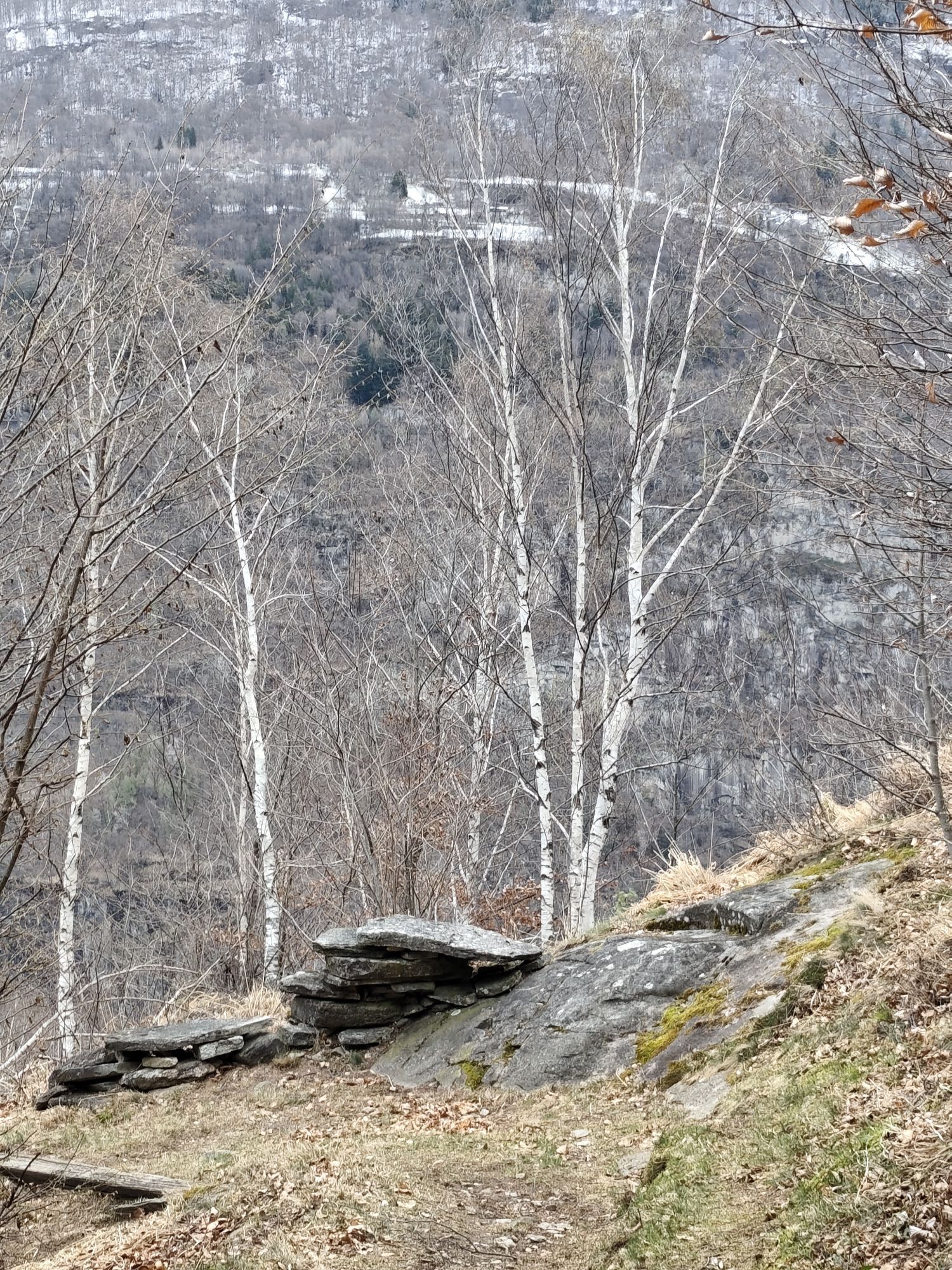
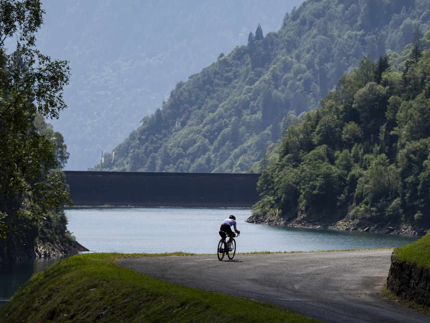
Finish at altitude
You reach the upper part of the climb, at around 1,400 m altitude. The landscape opens up over the valley below, in a quiet and panoramic alpine setting.
4
Obľúbené výlety v okolí
-
4,8
Tibet Suspension Bridge Route Riasc
svetloTuristika 6,12 km -
Furggelti 2712m
ťažkéTuristika 18,7 km -
Lago di Canée
Turistika 14,2 km -
4,3
Carassino Valley Via Alta
Turistika 14,0 km -
Trailrun - Zerfreilahorn circuit
ťažkéTrailrunning 21,3 km -
5,0
MTB Tour to Lampertschalp
strednáMountainbike 29,2 km -
Crown Hike (12 stages)
ťažkédiaľková pešia trasa 213,1 km -
Cima del Simano (2580 m)
Turistika 9 km -
5,0
Cusié > Capanna Quarei > Laghetto dei Cadabi > Alpe di poxxo > Cusié
strednáTuristika 13,0 km -
4,0
Historical Trail number 1 - Historical Trail of the middle and lower Blenio Valley (right bank)
svetloTuristika 15,0 km
Turistika a stopovanie


Nenechajte si ujsť ponuky a inšpiráciu na ďalšiu dovolenku
Vaša e-mailová adresa bol pridaný do poštového zoznamu.