






Monte San Giorgio geo-paleontological path

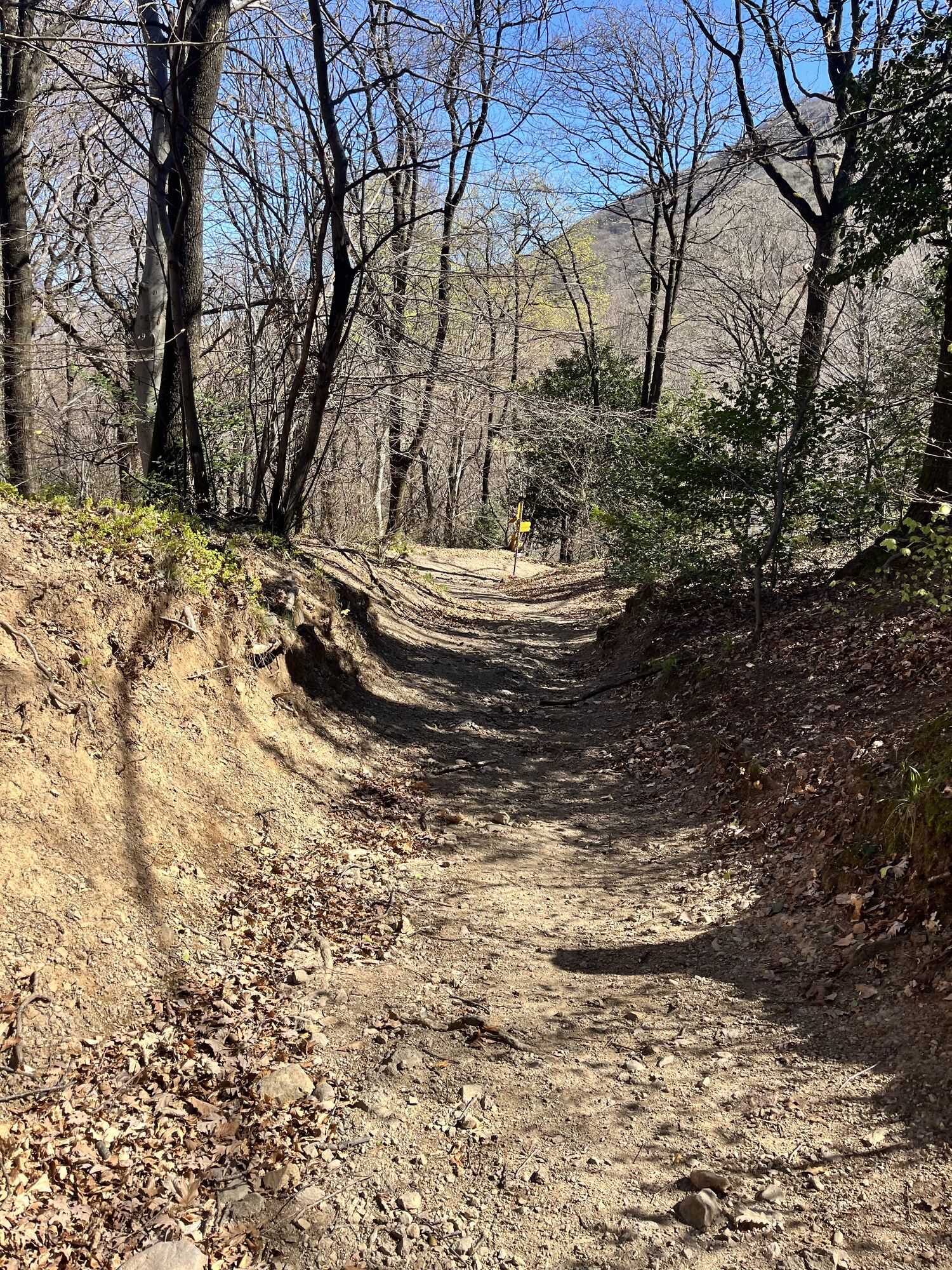


The starting point of the didactic trail is the idyllic village of Meride, where a visit to the Fossil Museum is highly recommended. A rich collection of fossils of flora and fauna from Monte San Giorgio...
The starting point of the didactic trail is the idyllic village of Meride, where a visit to the Fossil Museum is highly recommended. A rich collection of fossils of flora and fauna from Monte San Giorgio is exposed here.
A few minutes' walk takes you to the Val Mara viewing terrace. This is an educational classroom in the middle of the forest, just above the Gaggiolo stream. Enriched with binoculars and numerous didactic contents, it is aimed at a mixed audience of adults and young people.
Continuing along the cantonal road, you pass through the hamlets of Fontana and Spinirolo. From here you take the forest path, cross the Mürgala meadow and arrive in the hamlet of Crocefisso. A little further on you reach the Carpanee teaching room: an outdoor location in the woods, which can be used by everyone, day and night, all year round. From here you then climb up to Serpiano.
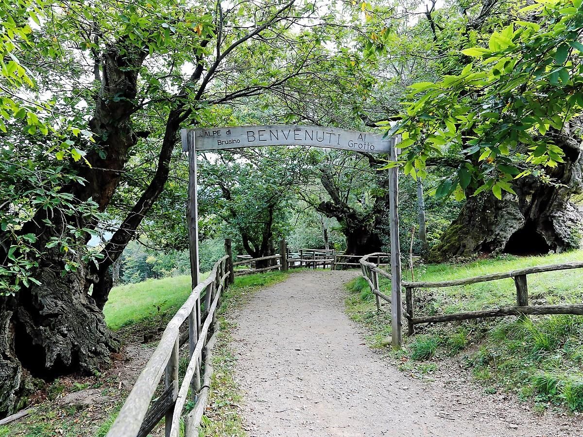
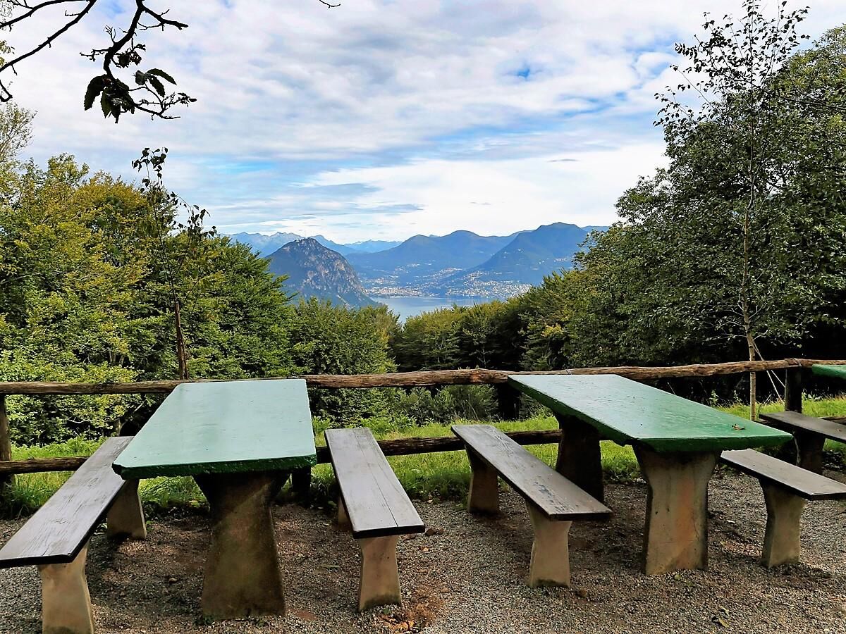
We then skirt the asphalt road leading to the mountain station of the cableway from Brusino Arsizio (285 m) to Serpiano station (650 m/a.s.l.). You then proceed slightly uphill on a forest road to an old alpine pasture surrounded by centuries-old chestnut trees: Alpe di Brusino (673 m/a.s.l.), where you can stop for a break in a historic grotto restaurant. Continuing on, you will reach an exceptional vantage point with a view of Monte Generoso and Lake Lugano. The walk then continues towards Gaggio (771 m/a.s.l.).
Here, you turn onto a narrower path in the direction of Pozzo (812 m/a.s.l.) and continue downhill to Albertina in Riva San Vitale. You then climb back up and conclude the itinerary again in Meride.
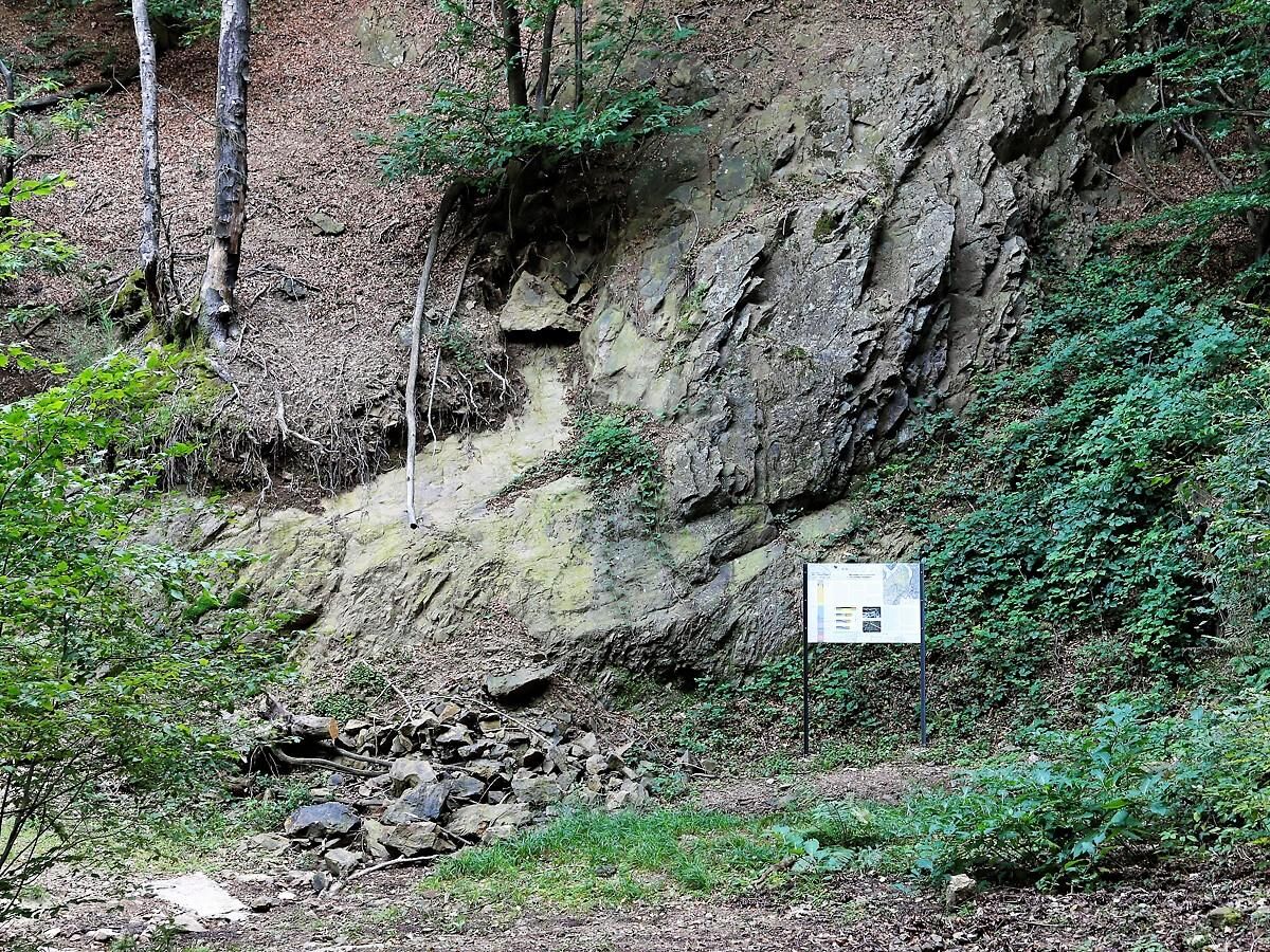
A series of learning panels scattered along the path explain the history of this extraordinary place in detail.

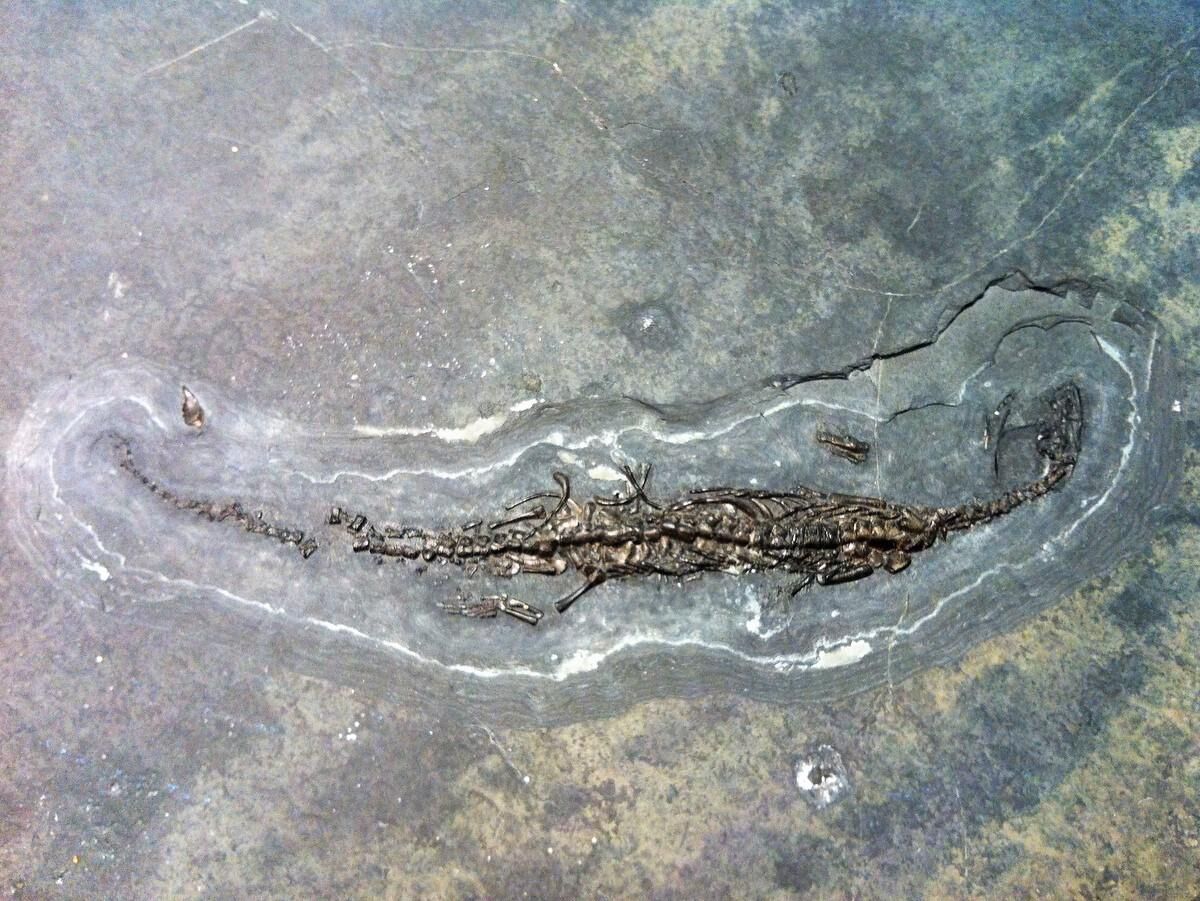
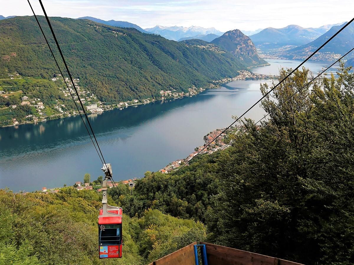
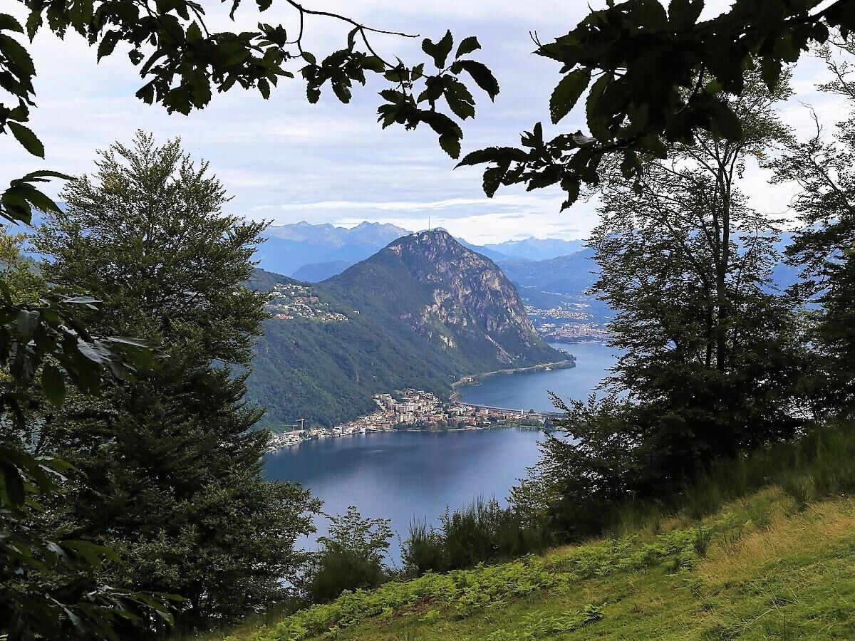
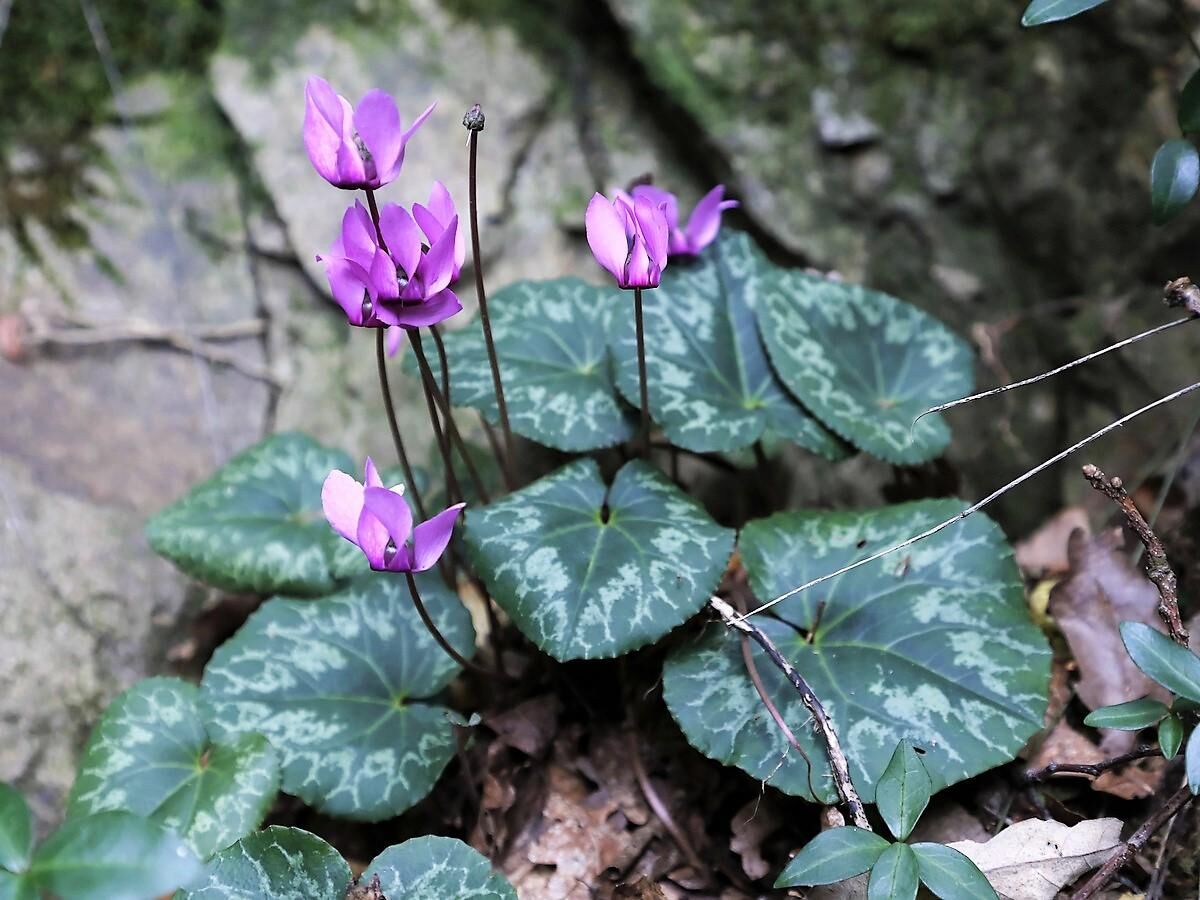
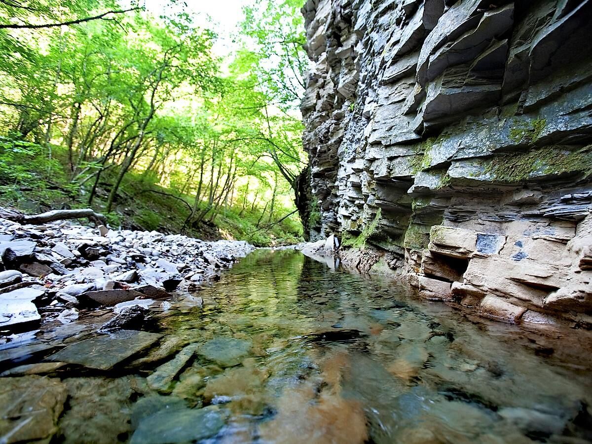
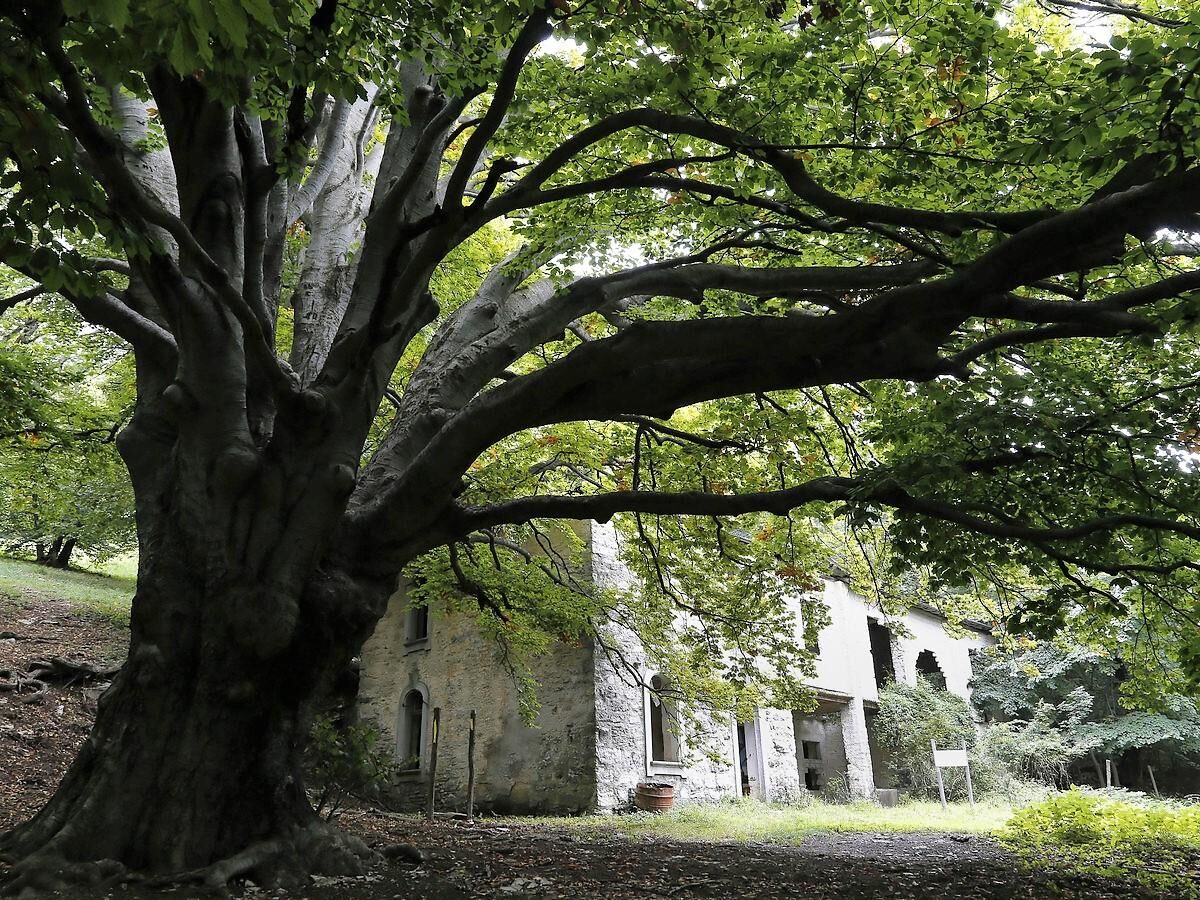
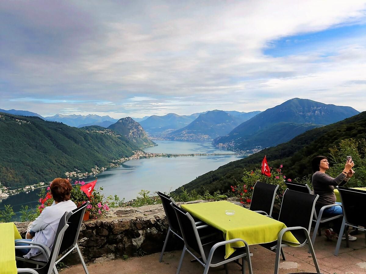
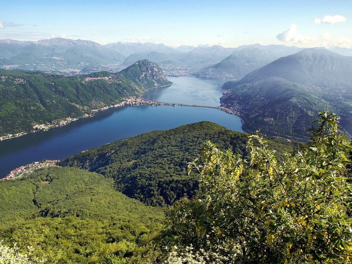

The geo-paleontological path can be reached in a more challenging way from Riva San Vitale. To go up you can take the Brusino Arsizio - Serpiano cableway.Right after Gaggio we recommend the excursion toward the Monte San Giorgio summit. Monte San Giorgio may also be reached from Pozzo. From the summit you can enjoy a stunning view ranging from the Morcote area to Monte Lema, with the Alpine chain in the background.
Áno
Áno
Hiking boots
Sun cap
Water-bottle
Sunglasses
Sun cream
Hiking map
Camera
Food
To explore the route, we recommend buying the official maps of the Federal Office of Topography Swisstopo. In addition, the following website map.geo.admin.ch offers constantly updated data.
Montagnepulite: The responsible management of litter in the mountains is a matter of common sense. We can all contribute: https://www.montagnepulite.ch/en/golden-rules
Obľúbené výlety v okolí
-
4,4
Sentiero del Monte Generoso (SwitzerlandMobility 635)
strednáTuristika 9,22 km -
3,0
Bellavista - Monte Generoso
svetloTuristika 2,60 km -
5,0
Brè - Sasso Rosso - Monte Boglia - Lugano
ťažkéTuristika 11,6 km -
5,0
Vetta Monte Generoso - Roncapiano - Muggio
strednáTuristika 6,01 km -
5,0
Novaggio
svetloTuristika 8,10 km -
5,0
Vom Restaurant auf den Gipfel (Kulm)
svetloTuristika 0,58 km -
Scudellate - Erbonne - Alpe Orimento
strednáTuristika 3,58 km -
5,0
Morcote - San Salvatore
strednáTuristika 9,95 km -
5,0
Castagnola-Bré-Cureggia-Pregassona-Castagnola
svetloTuristika 14,1 km -
Variante Monte Generoso - Sentiero Gianola
ťažkéTuristika 5,68 km
Turistika a stopovanie


Nenechajte si ujsť ponuky a inšpiráciu na ďalšiu dovolenku
Vaša e-mailová adresa bol pridaný do poštového zoznamu.





