







Vertical Cugnasco-Gana
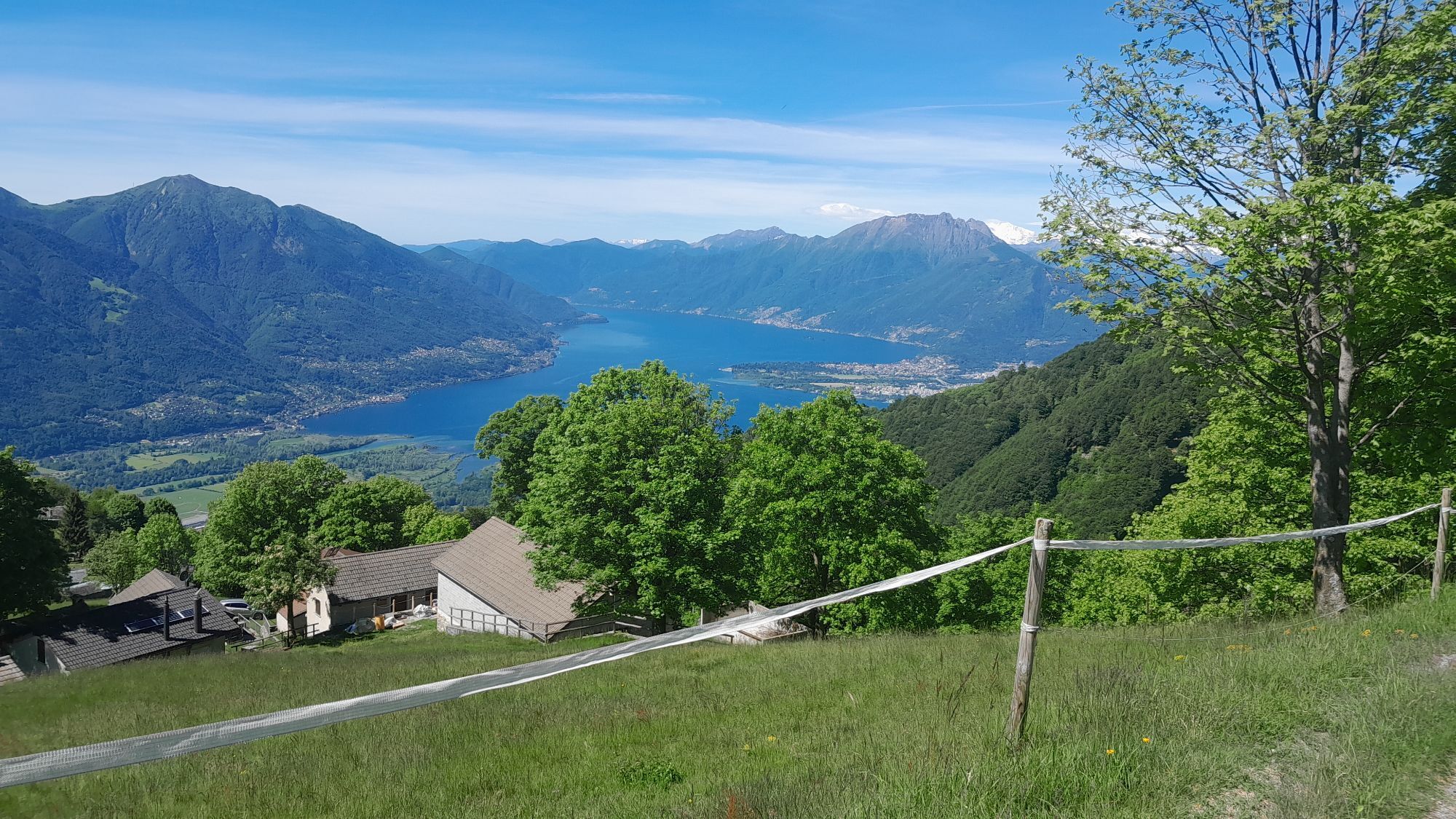
The journey begins in the village of Cugnasco, following the "Sentee di Lögh" which crosses the hill and some characteristic clusters of houses. Upon reaching the locality of Colètt, the path enters the...
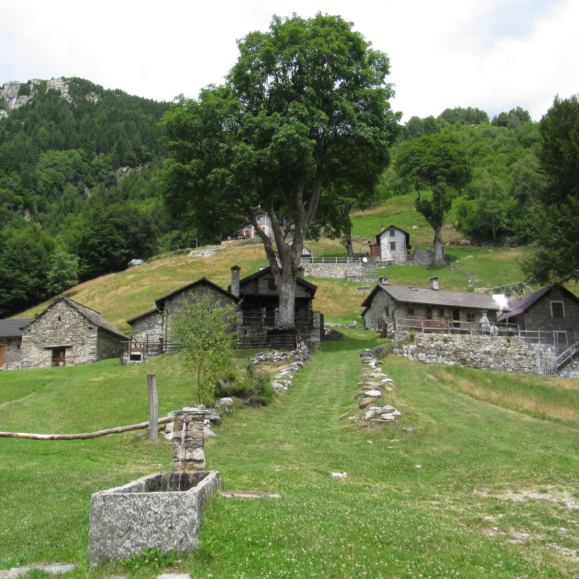
The journey begins in the village of Cugnasco, following the "Sentee di Lögh" which crosses the hill and some characteristic clusters of houses. Upon reaching the locality of Colètt, the path enters the forest and becomes steeper, passing through the Monti Velloni, Pianèll, and Pianazzöö, until reaching the Monti della Gana. Once at the top, take the time to recover and enjoy the splendid panorama that encompasses Lake Maggiore and the Piano di Magadino.


Cugnasco-Monti Velloni-Gana
ð Shoes:
Trail running shoes with good grip𥤠Hydration:
Trail running backpack or waist belt At least 1 liter of water Energy bars, gels or dried fruitð§ Safety:
Fully charged mobile phone Map or GPS track of the route Emergency whistle Small first-aid kit Emergency blanketâï¸ Other tips:
Sunscreen Anti-chafing cream Trail poles (optional)Obľúbené výlety v okolí
-
4,9
Verzasca Dam-Mergoscia-Corippo-Lavertezzo
strednáTuristika 13,0 km -
4,6
Tibetan Bridge route (SwitzerlandMobile 628)
strednáTuristika 9,02 km -
4,8
Avegno-Ponte Brolla-Avegno
strednáTuristika 8,56 km -
5,0
Lavertezzo-Brione Verzasca
svetloTuristika 6,50 km -
4,5
Revöira Ethnographic Trail (SwitzerlandMobile 629)
strednáTuristika 7,97 km -
4,0
Cardada Bike (SwitzerlandMobility 397)
ťažkéMountainbike 30,6 km -
5,0
Verzasca Dam-Monti di Motti-Verzasca Dam
strednáTuristika 9,31 km -
Cardada-Cimetta-Alpe Vegnasca-Cardada
strednáTuristika 6,86 km -
4,8
Von Isone über den Camoghè 2.227m nach Colla
ťažkéTuristika 20,2 km -
Via Alta Vallemaggia - 1st stage: Cimetta-Capanna Alpe Nimi
ťažkéTuristika 10,2 km
Turistika a stopovanie


Nenechajte si ujsť ponuky a inšpiráciu na ďalšiu dovolenku
Vaša e-mailová adresa bol pridaný do poštového zoznamu.





