






Breggia Gorge Park

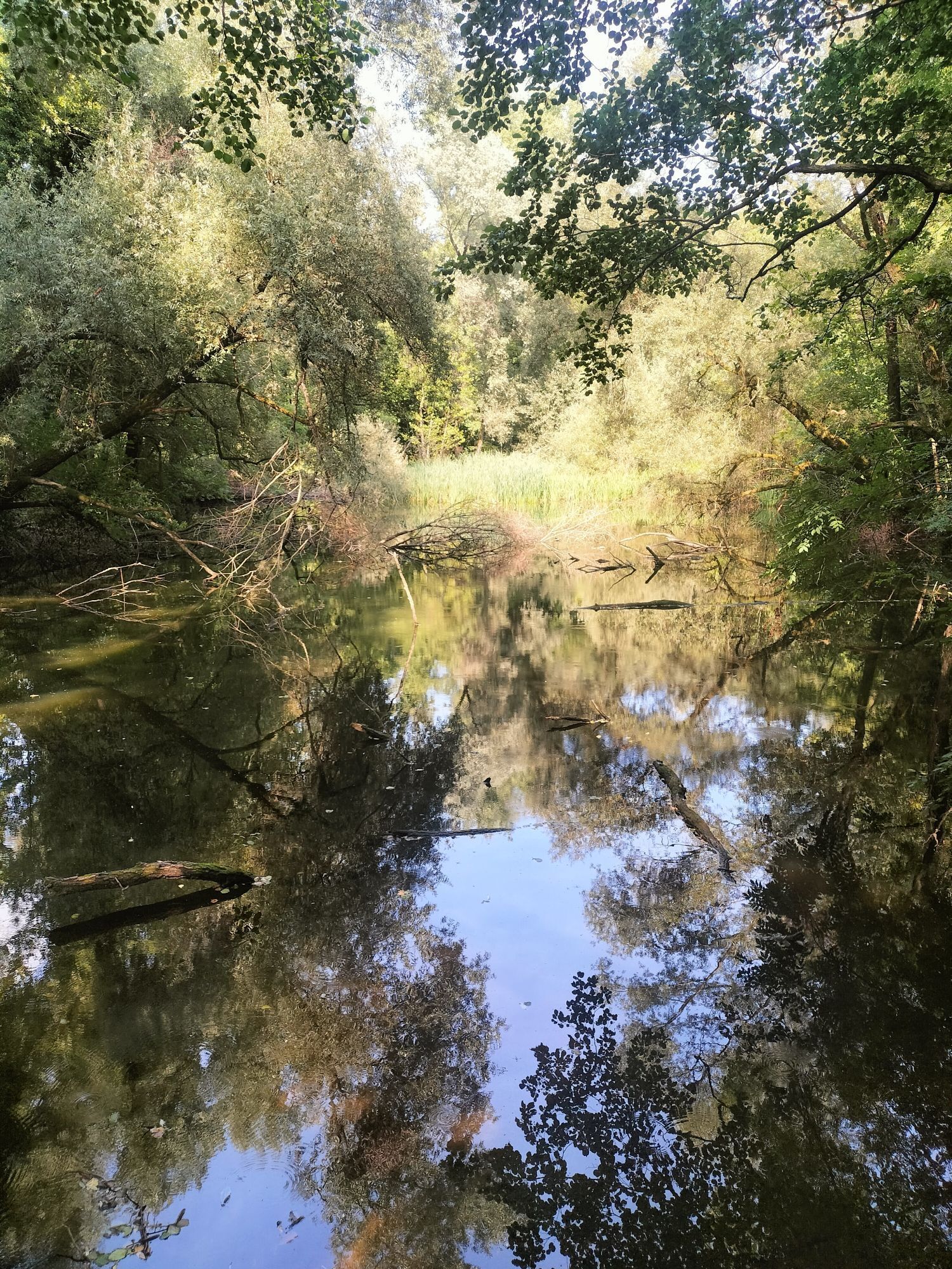
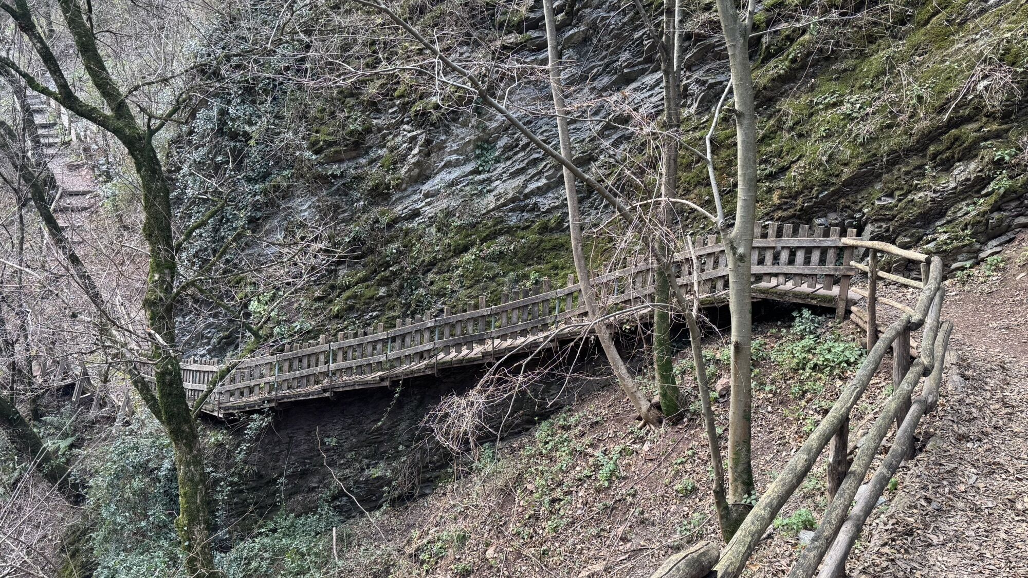
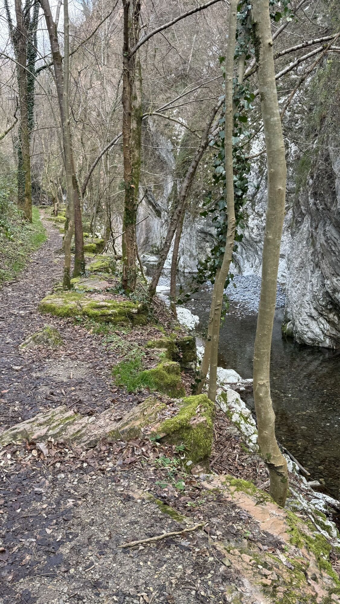
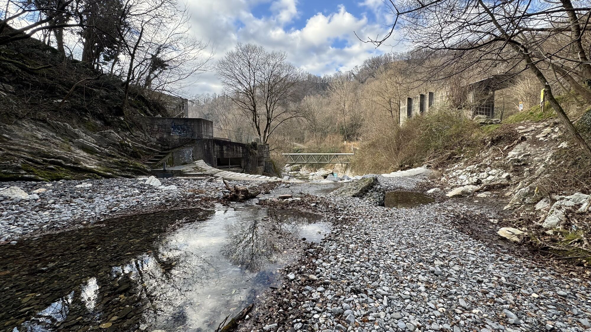
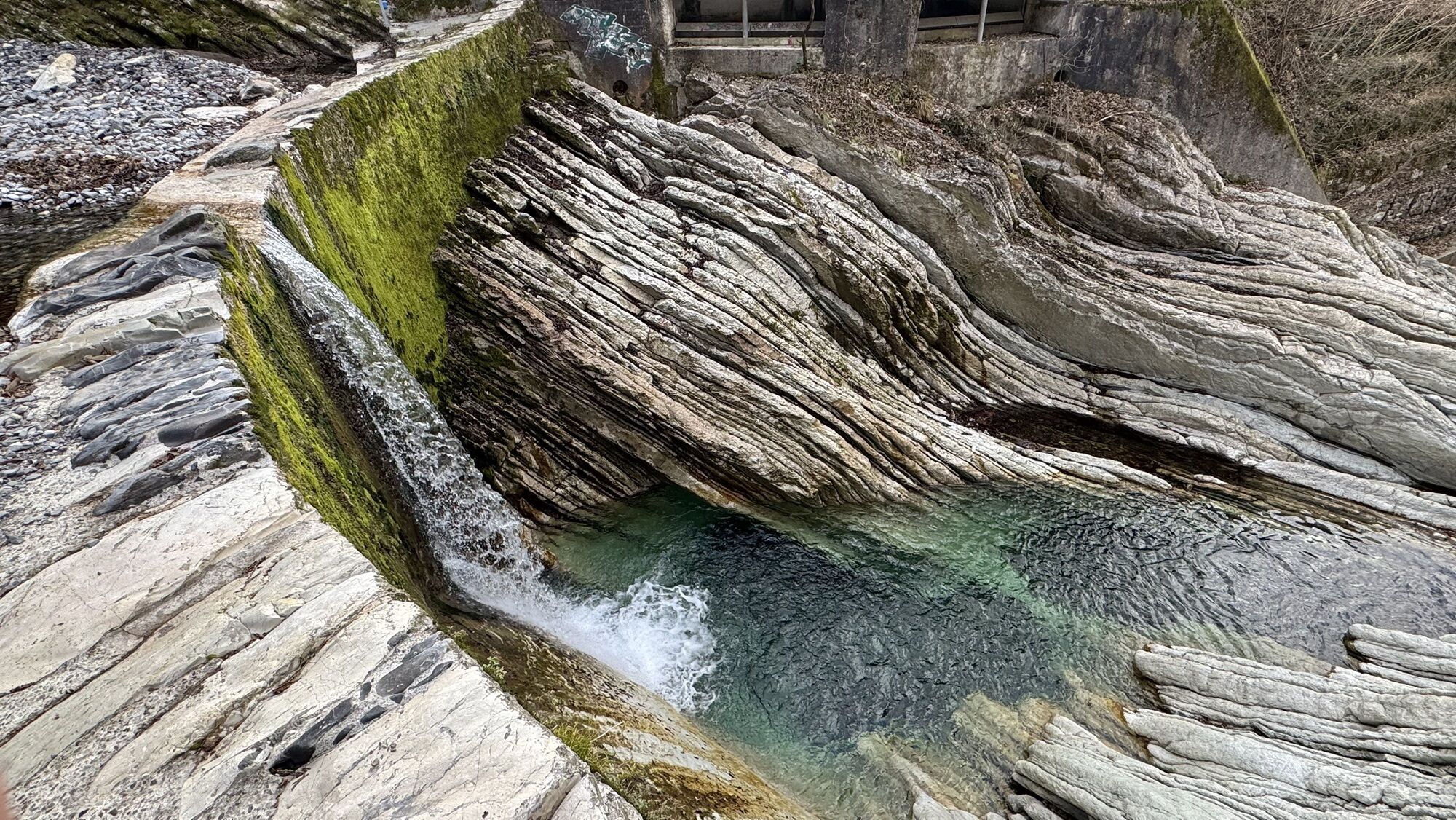
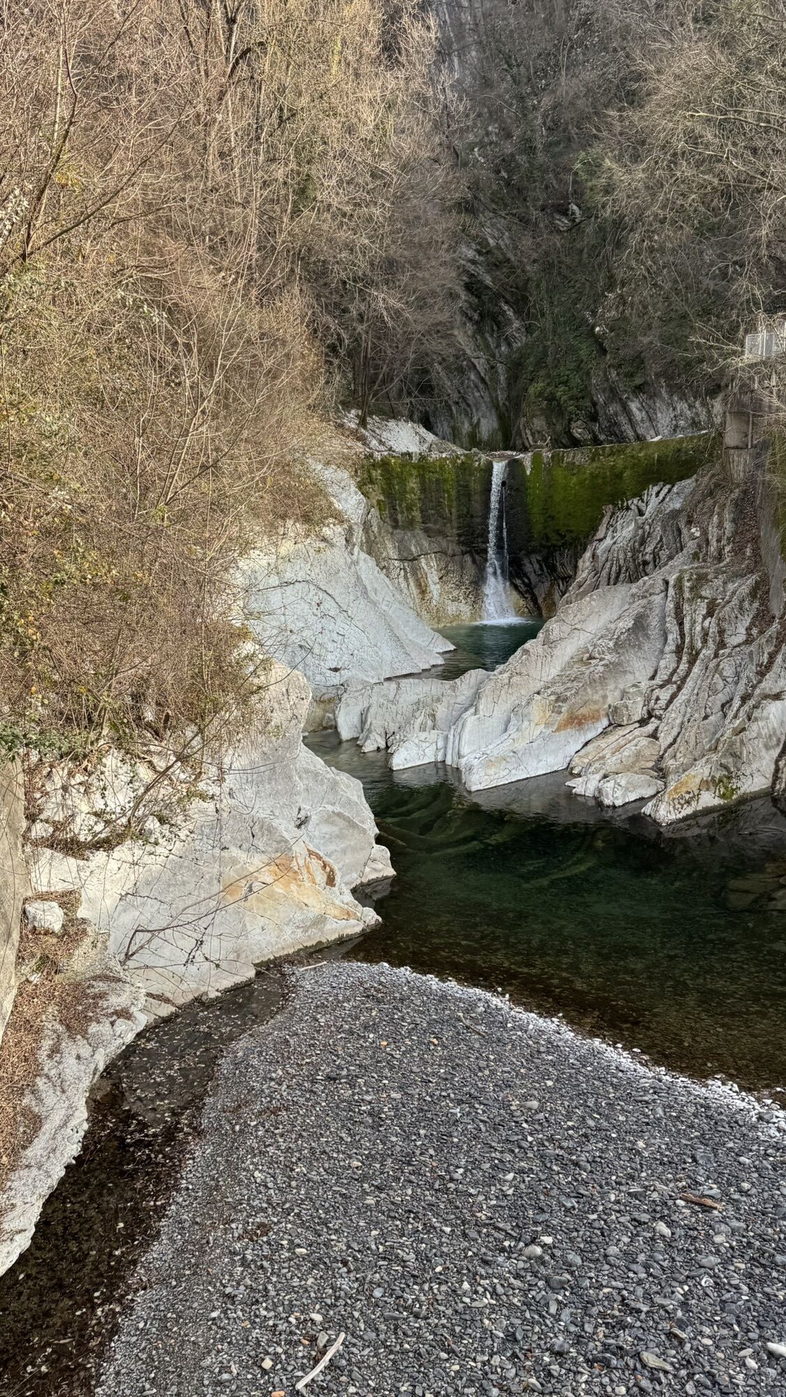
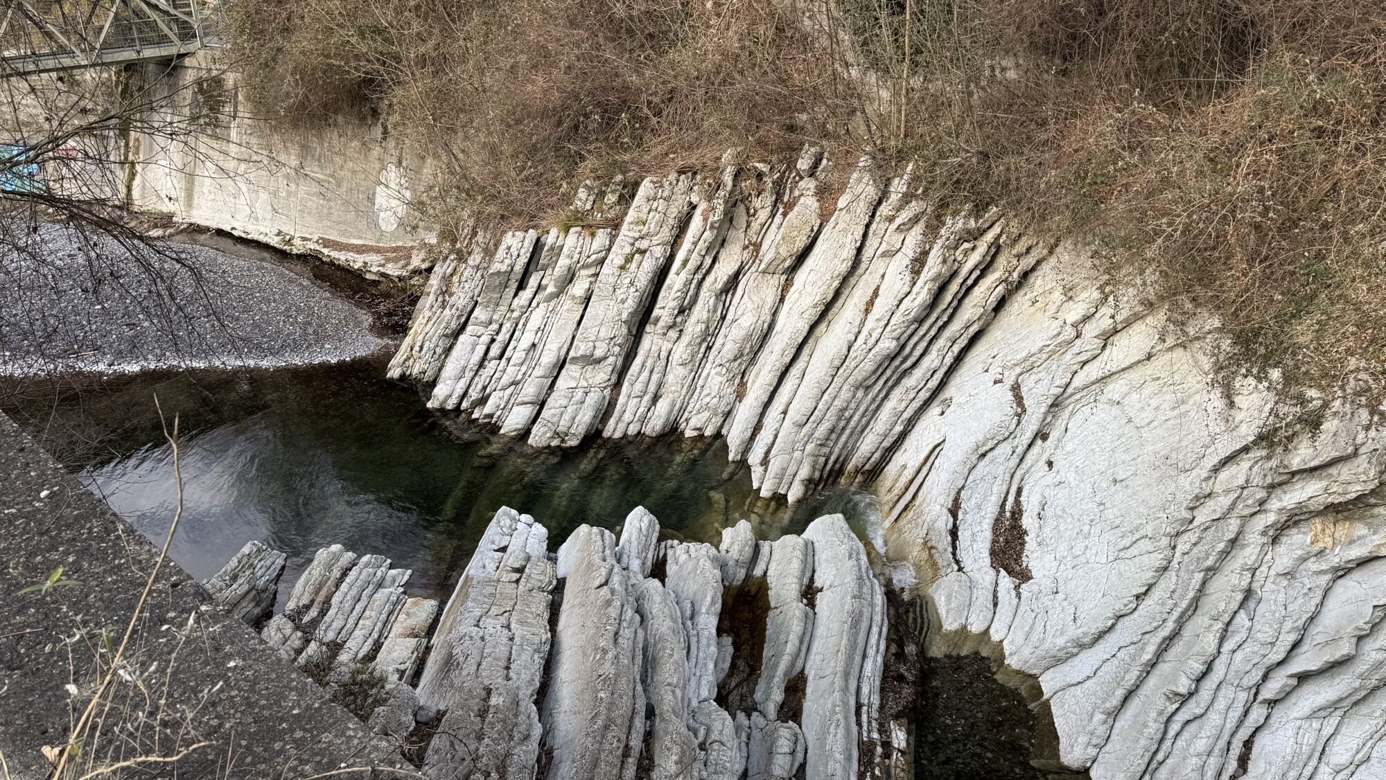
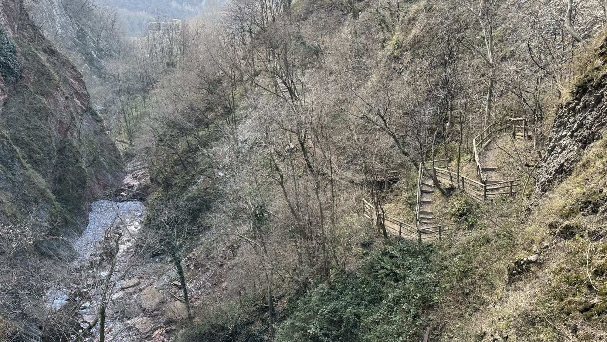
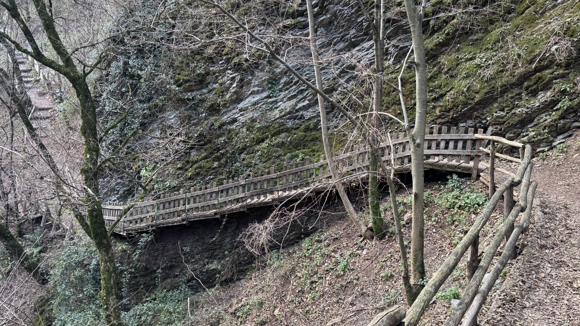
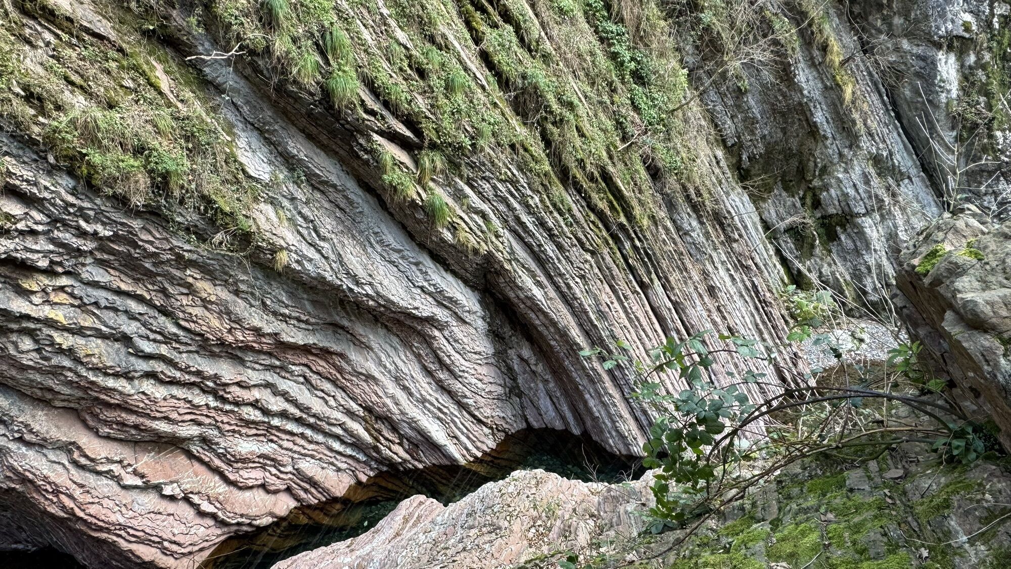
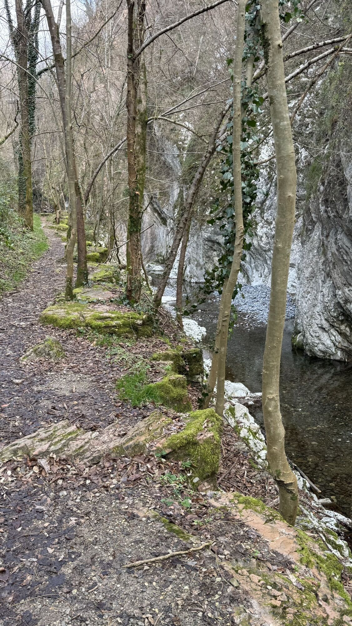
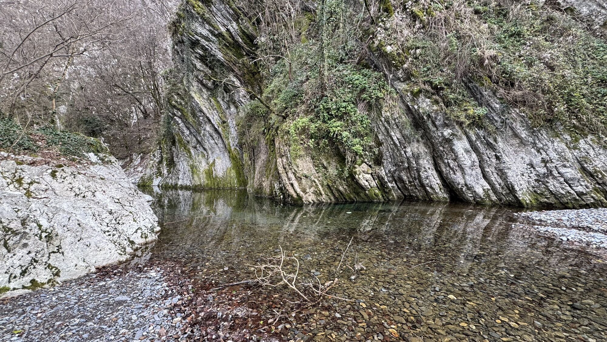
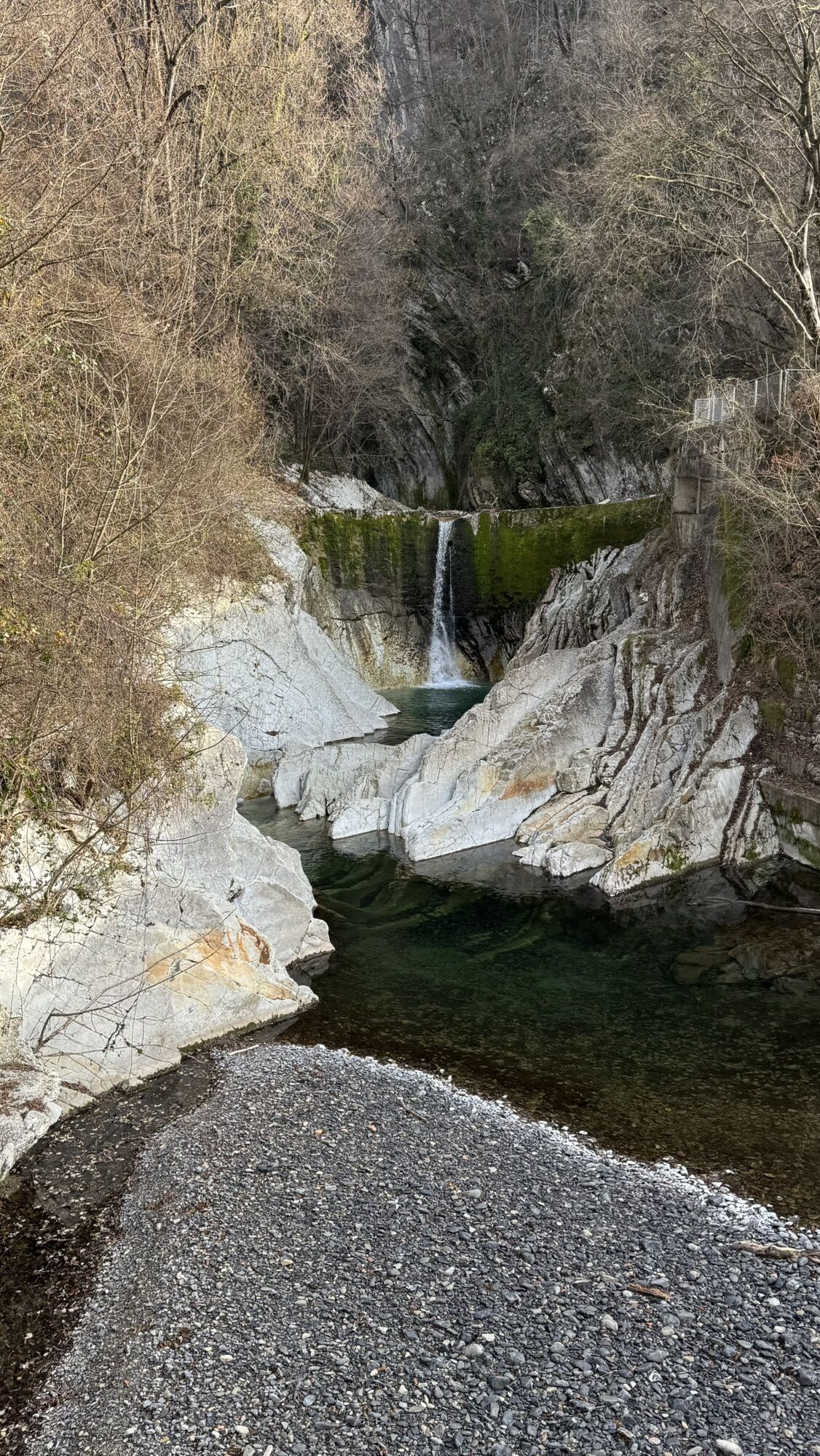
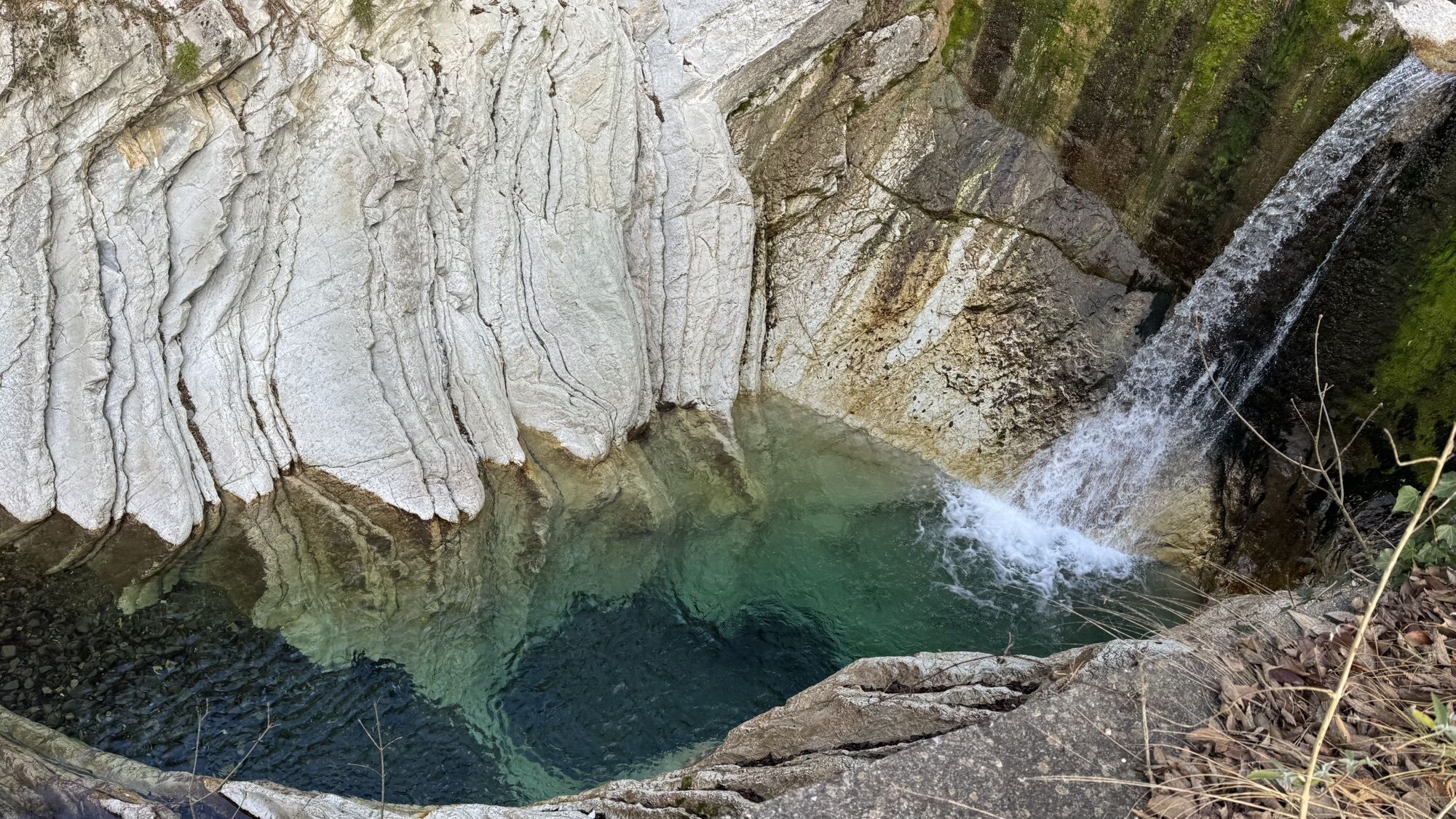
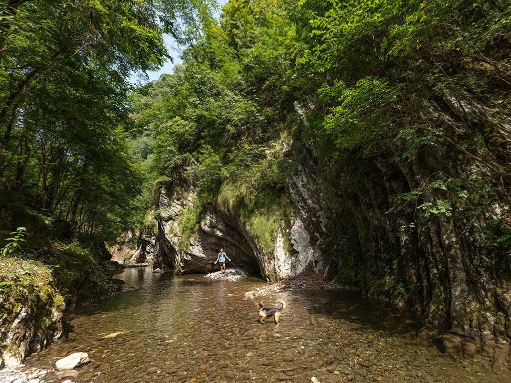
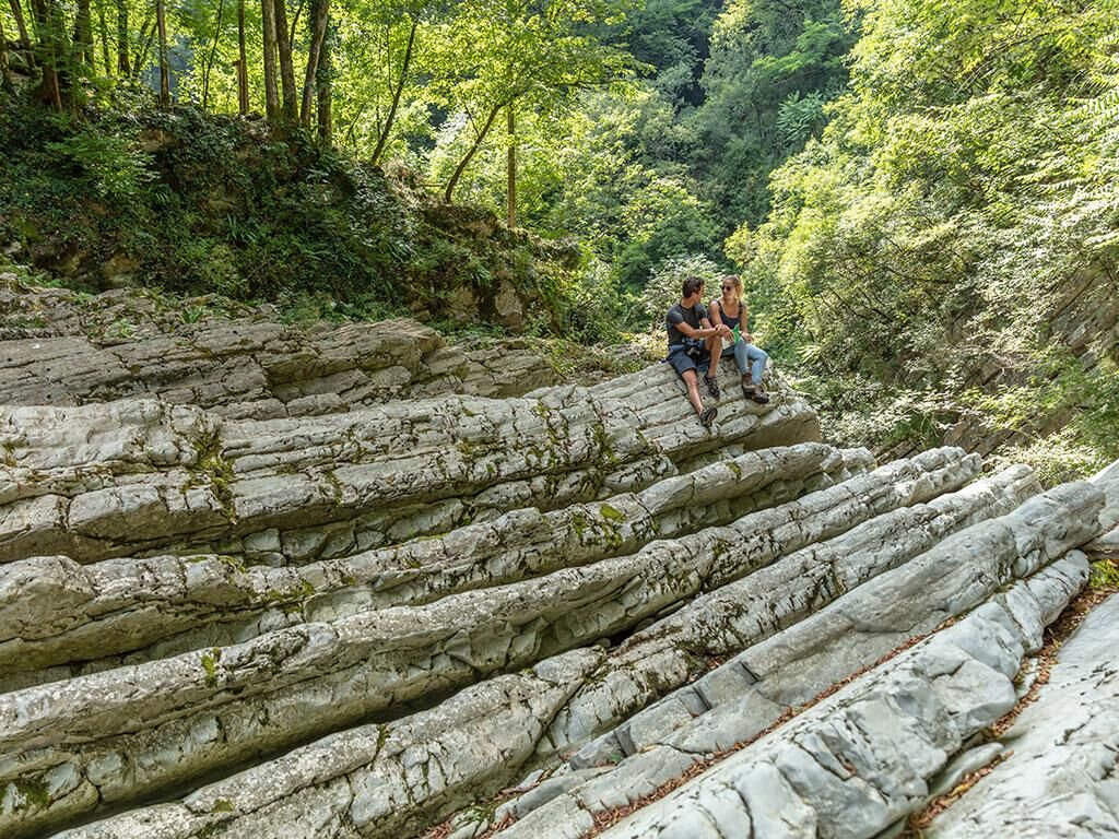
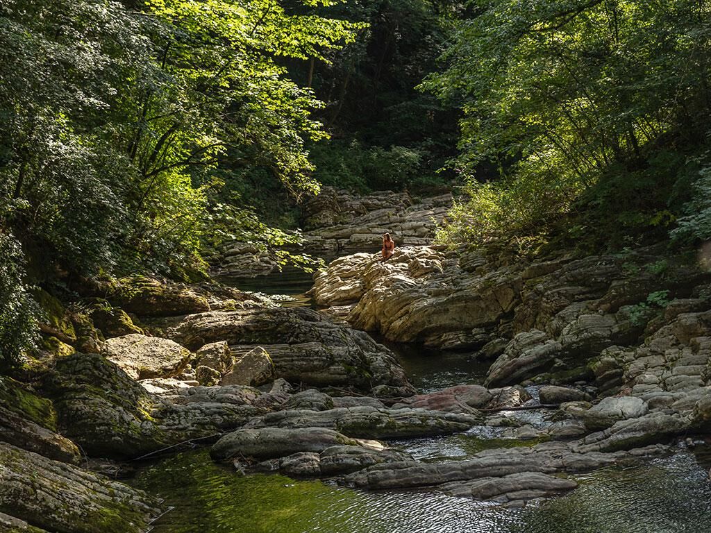
The Breggia river reveals, in just one and a half kilometers, rocks that open a unique window onto the Earth's past. Geology is the special feature of this Park, making it one of the most important geotopes...
A visit to the Park allows you to take a journey through 200 million years of geological history and 2000 years of human history.
The route starts on the hill of Castel San Pietro, where there are the remains of the medieval castle and the Red Church dating back to the 14th century, which preserves splendid Gothic frescoes (the church is normally closed. Visits can be arranged by contacting the Cottarelli-Günther family +41 79 685 26 31 / +41 76 560 19 37).
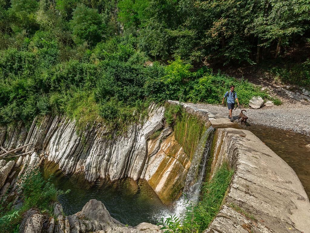
Going down the marked trail, you reach the Punt da Canaa and the remains of the Canaa Mill. The water seems to draw a timeline, sliding and carving here the cherty limestones, the oldest marine sediments in the Park. Heading south, these become enriched with clay and fossils (ammonites), change color, and as you approach the Ghitello Mill, they become more recent.
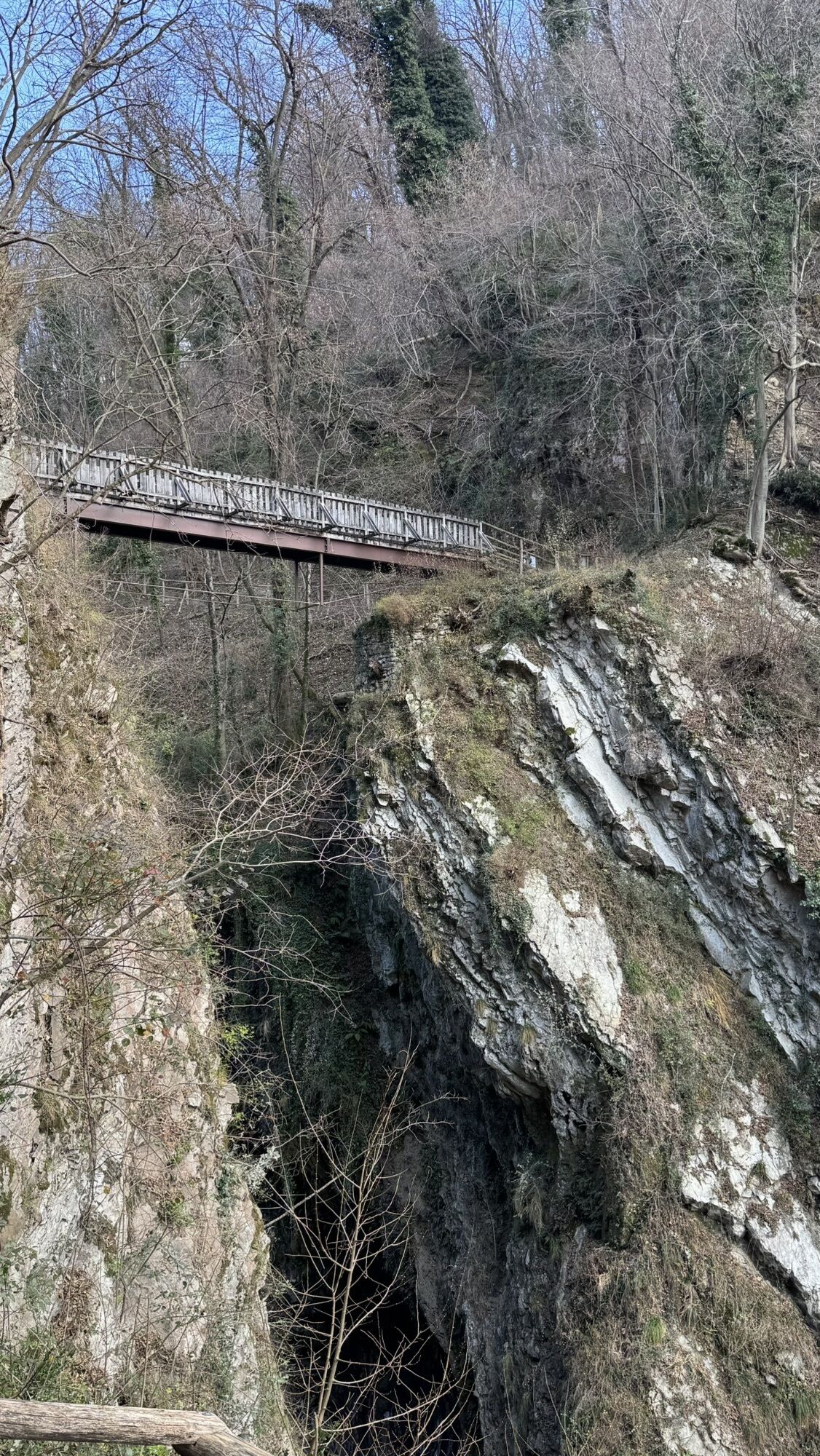
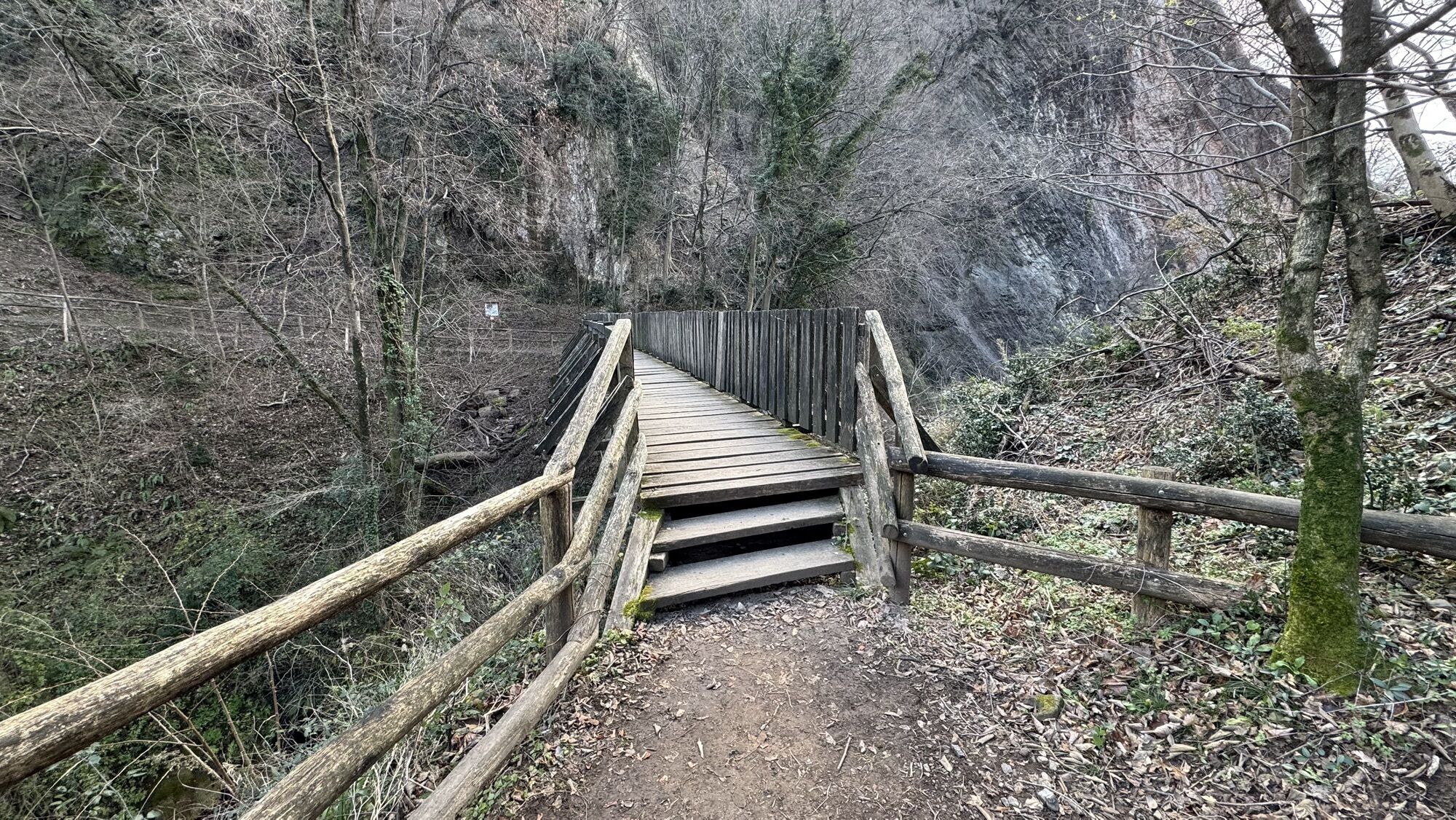
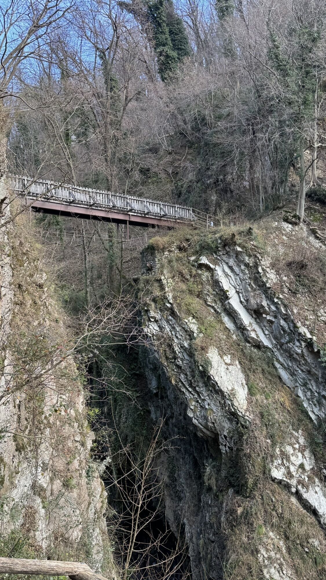
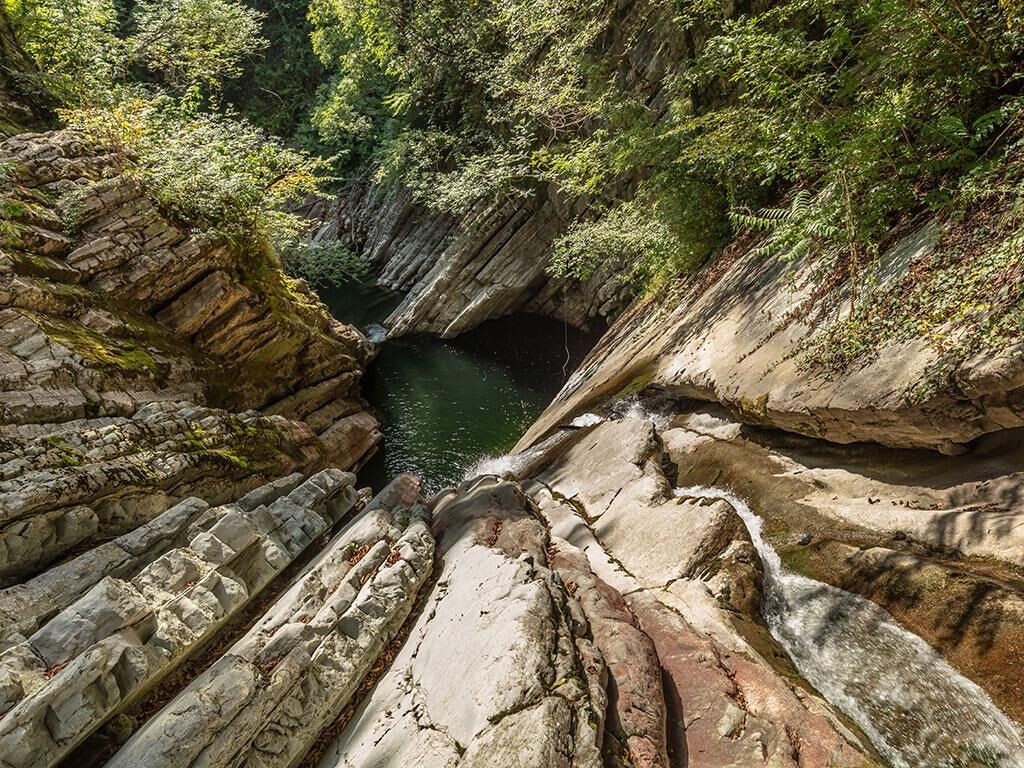
Having arrived at the "Witches' Meadow," a welcoming clearing equipped for resting, here is the Punt dal Farügin (known as the Devil's Bridge). This passage between the two banks of the Valley is the best, and also the highest, point for observing the gorges carved by the Breggia river.
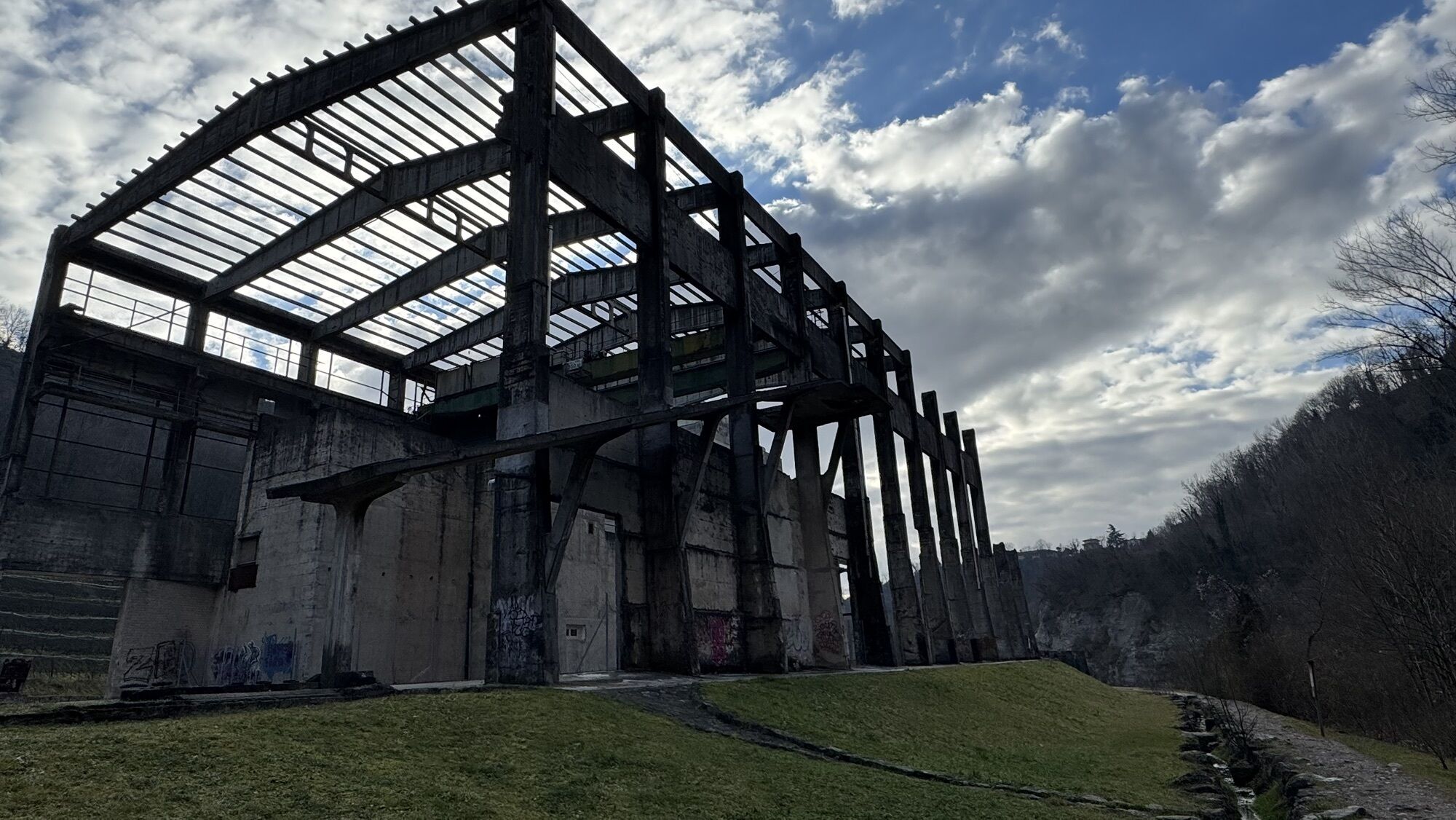
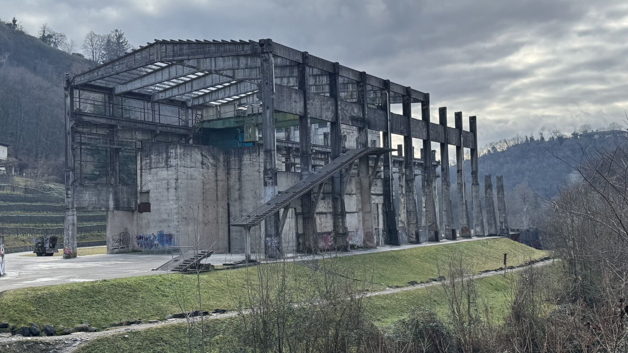
At the end of the descent, attention inevitably falls on the imposing structure of the former Saceba cement factory, a testimony of an industrial past that can now be explored by participating in the Cement Route, which allows visits inside the structure and the 5-kilometer-long extraction tunnels with an expert guide (by reservation only).
The path continues to the Ghitello Mill, one of the most complete and best-preserved hydraulic factories in Switzerland. Dating back to 1606, it remained active until the 1960s and has since been restored. It currently hosts two multifunctional spaces, a didactic support laboratory, a garden set up as a picnic area, and a restaurant, which promotes Ticino wine in local gastronomic culture.
The route ends in Morbio Inferiore, where one of the Park's parking lots is located behind the Breggia Shopping Center.
Podcast "The Breggia Gorge Park"


Montagnepulite: Die verantwortungsbewusste Entsorgung von Abfällen ist eine Frage des gesunden Menschenverstands. Wir alle können eine Beitrag leisten: https://www.montagnepulite.ch/de/goldene-regeln
Áno
Trekking boots
Cap
Water bottle
Sunglasses
Sunscreen
Hiking map
Camera
Food
There are no fountains, swimming is prohibited.
To enjoy the route, we recommend purchasing the official maps from the Federal Office of Topography Swisstopo. Additionally, the website map.geo.admin.ch offers constantly updated data.
Clean Mountains: Responsible waste management in the mountains is a matter of common sense. We can all contribute: https://www.montagnepulite.ch/it/regole-d-oro
Obľúbené výlety v okolí
-
4,4
Sentiero del Monte Generoso (SwitzerlandMobility 635)
strednáTuristika 9,22 km -
3,0
Bellavista - Monte Generoso
svetloTuristika 2,60 km -
4,8
Triangolo Lariano esplorativo
svetloMountainbike 19,8 km -
5,0
Vetta Monte Generoso - Roncapiano - Muggio
strednáTuristika 6,01 km -
5,0
Vom Restaurant auf den Gipfel (Kulm)
svetloTuristika 0,58 km -
Scudellate - Erbonne - Alpe Orimento
strednáTuristika 3,58 km -
4,0
Alpe del viceré - monte Palanzone
strednáTuristika 11,2 km -
5,0
Bollettone+Palanzone
strednáTuristika 14,7 km -
5,0
Morcote - San Salvatore
strednáTuristika 9,95 km -
Variante Monte Generoso - Sentiero Gianola
ťažkéTuristika 5,68 km
Turistika a stopovanie


Nenechajte si ujsť ponuky a inšpiráciu na ďalšiu dovolenku
Vaša e-mailová adresa bol pridaný do poštového zoznamu.





