


Albagno Hut
Fotografie našich používateľov
-
 © CinziaVytvorené dňa 13.11.2022
 -
 © Sergio FontanaVytvorené dňa 25.05.2025
 -
 © Sergio FontanaVytvorené dňa 25.05.2025
 -
 © Sergio FontanaVytvorené dňa 25.05.2025
 -
 © Sergio FontanaVytvorené dňa 25.05.2025
 -
 © CinziaVytvorené dňa 13.11.2022
 -
 © CinziaVytvorené dňa 13.11.2022
 -
 © CinziaVytvorené dňa 13.11.2022
 -
 © Marco PezzuoloVytvorené dňa 23.04.2026
 -
 © Marco PezzuoloVytvorené dňa 23.04.2026
 -
 © Marco PezzuoloVytvorené dňa 23.04.2026
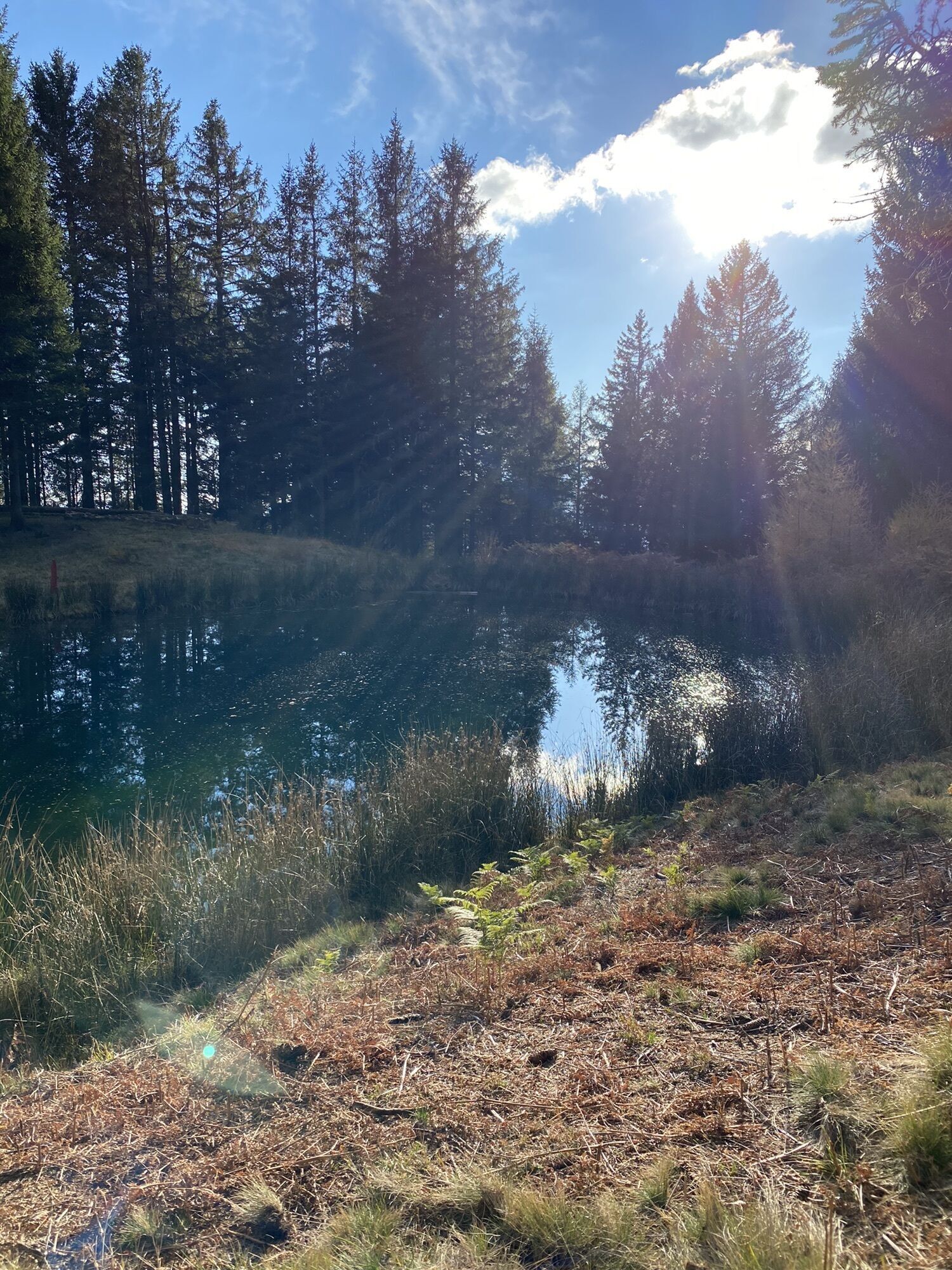


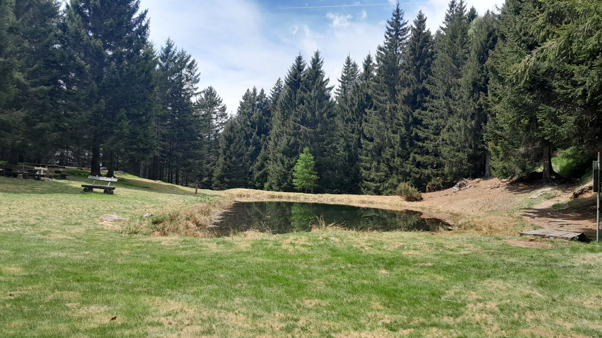

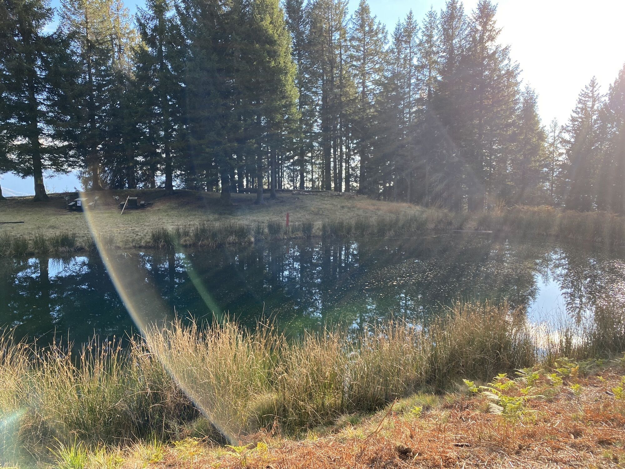

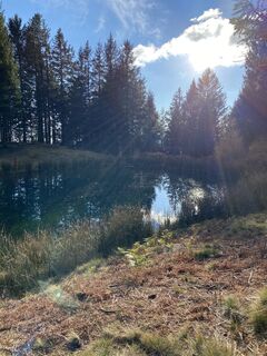
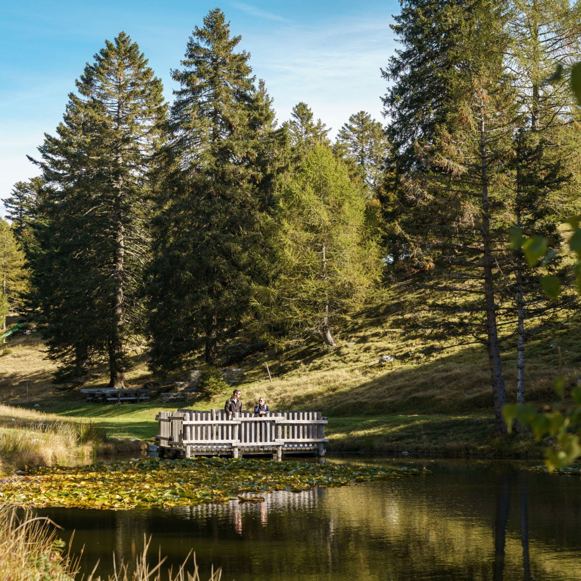
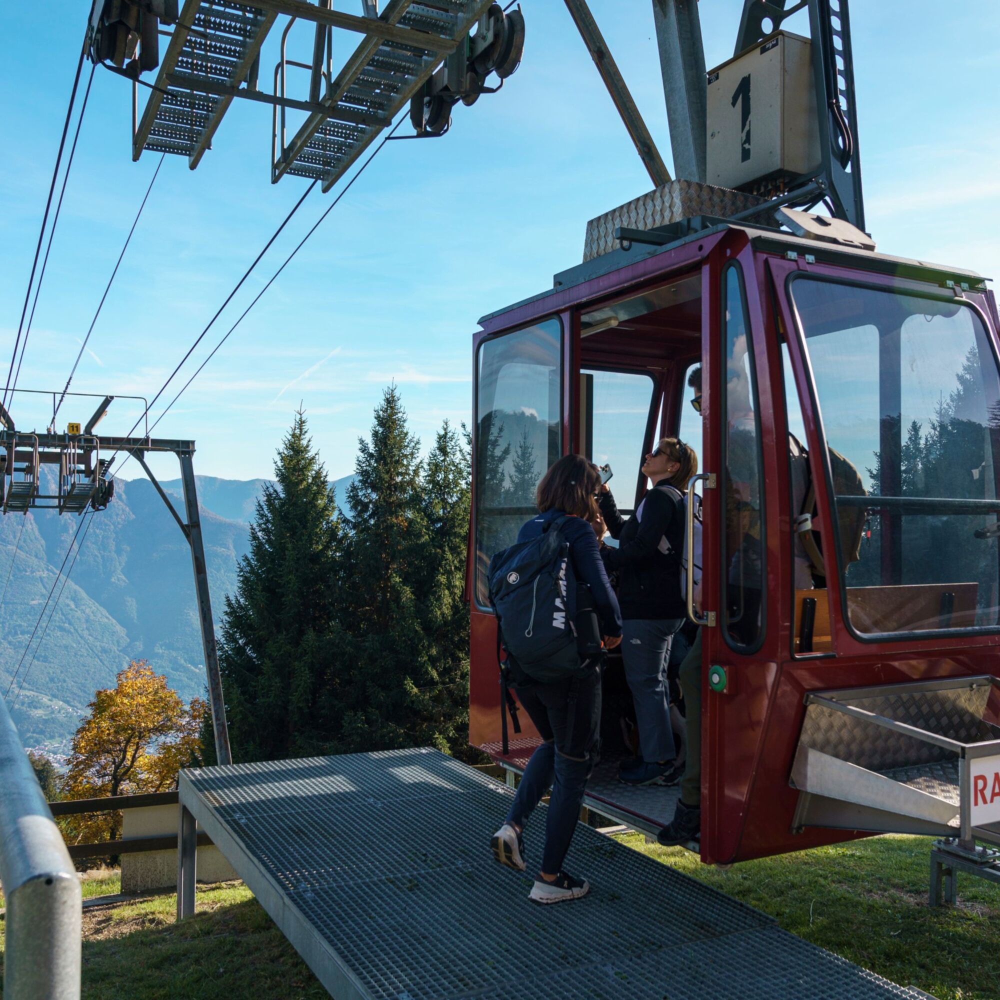
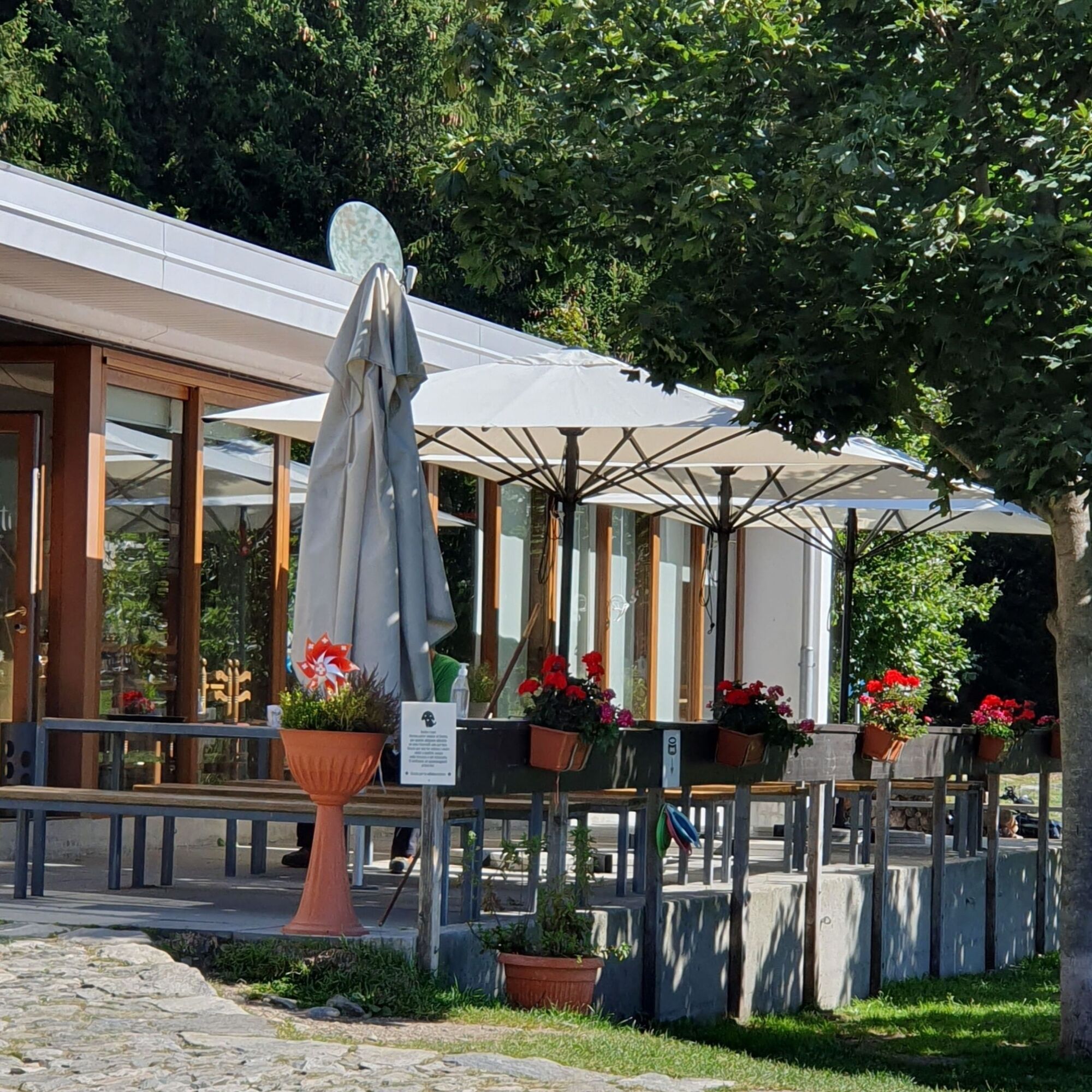
From the arrival station of the Mornera cable car where there is a typical Ticino grotto, follow the signpost for “Albagno”. The path begins to ascend through woods, which were once characterized by various...
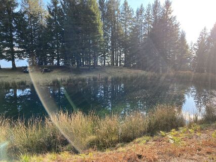
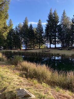
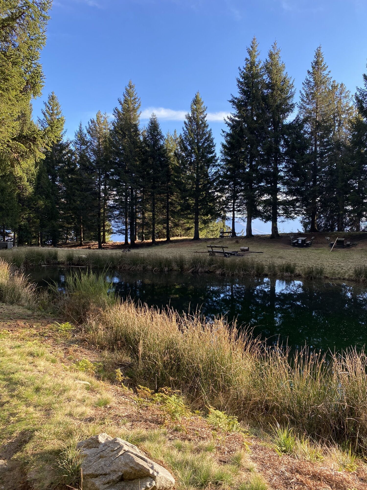
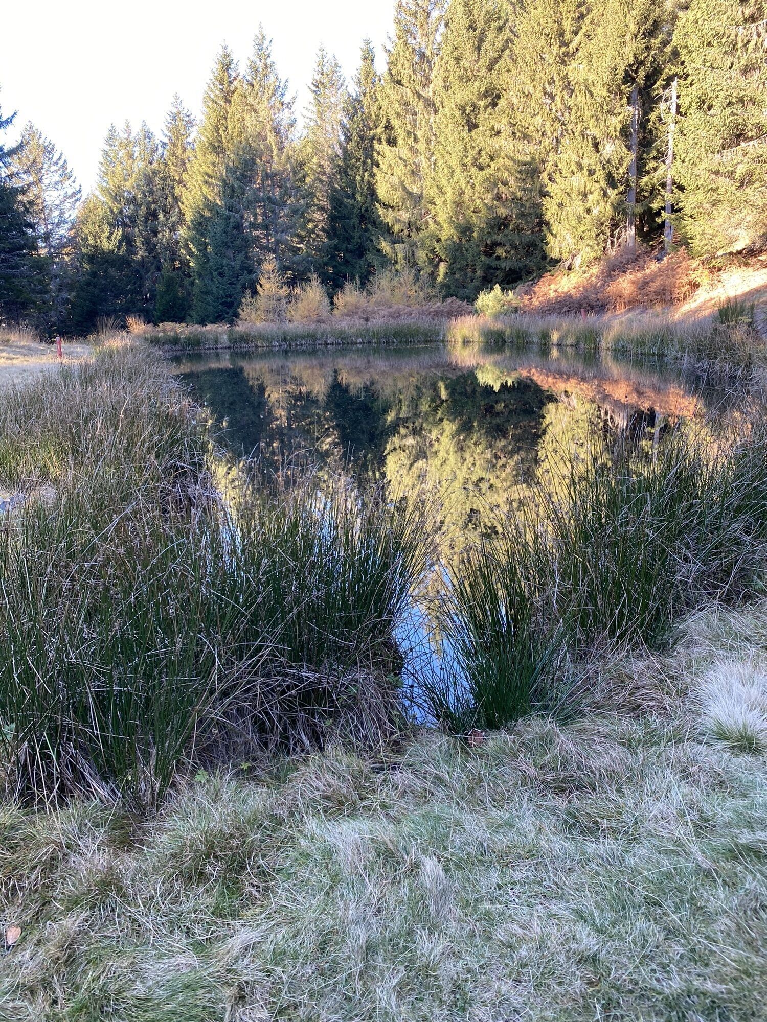
From the arrival station of the Mornera cable car where there is a typical Ticino grotto, follow the signpost for “Albagno”. The path begins to ascend through woods, which were once characterized by various broadleaf species such as beech and oak, but is currently made up of a spruce forest (red firs) and reaches the Pian di Nar pond, which, besides being an interesting project from a naturalistic and scenic point of view, now also serves as a fire-fighting infrastructure for water collection by helicopters.
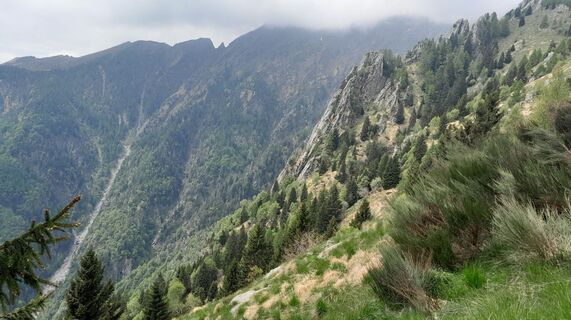
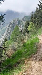
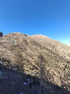
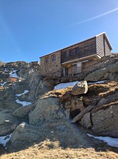
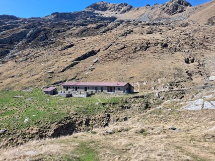
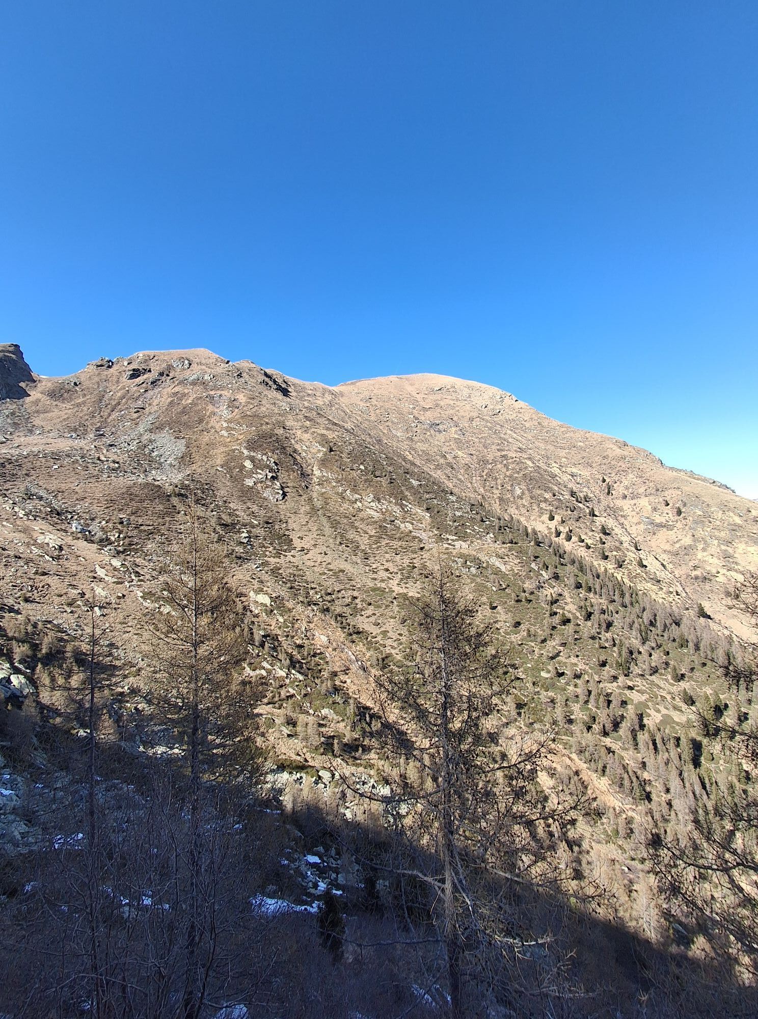
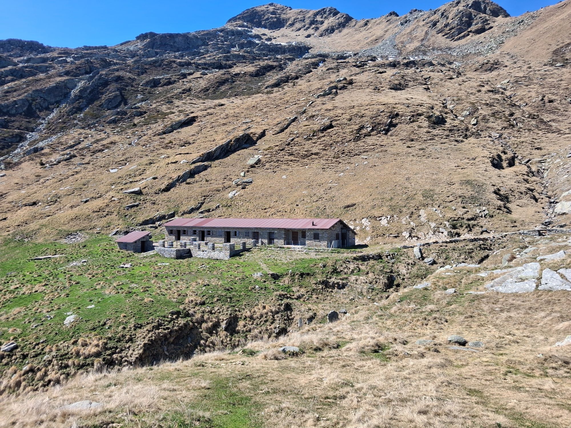
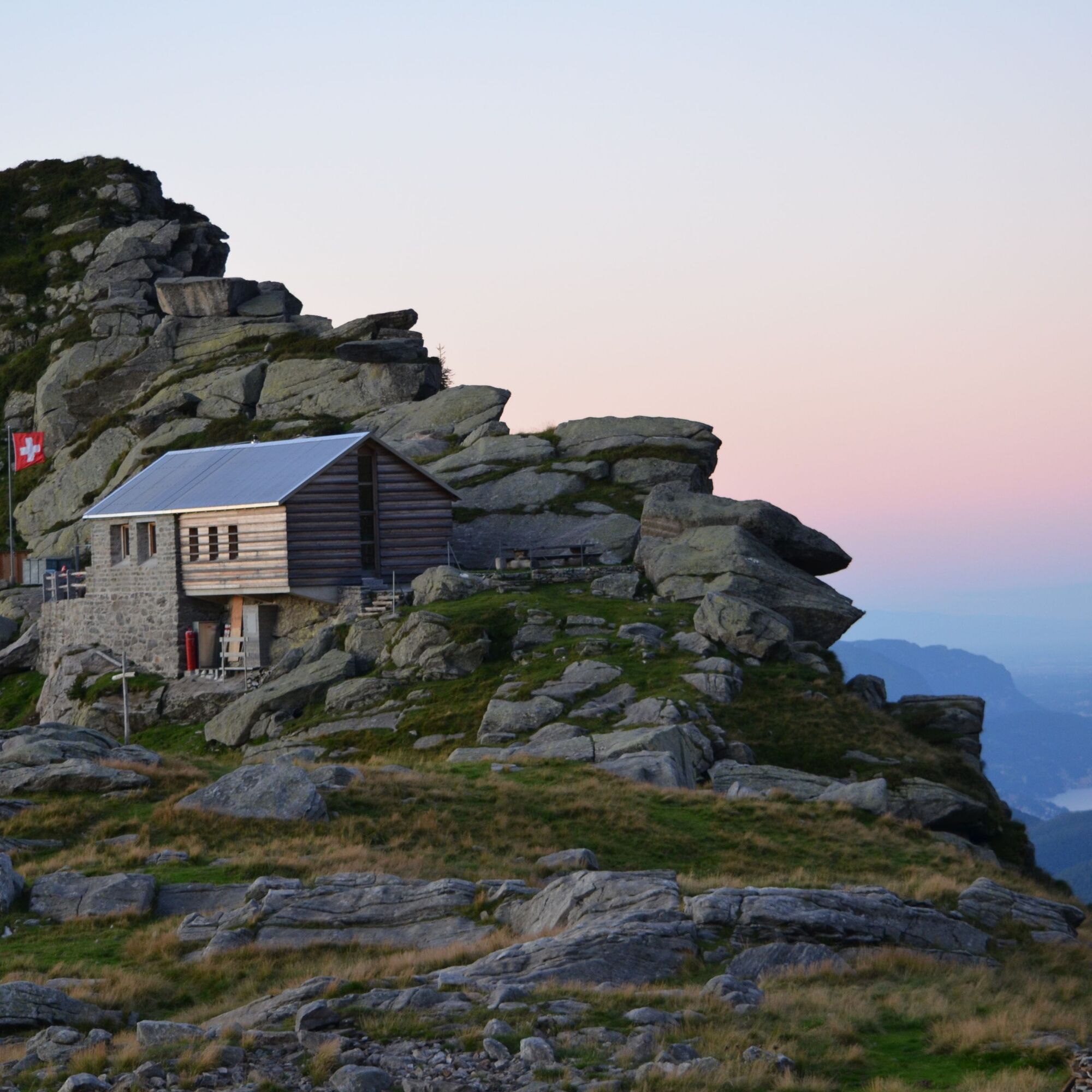
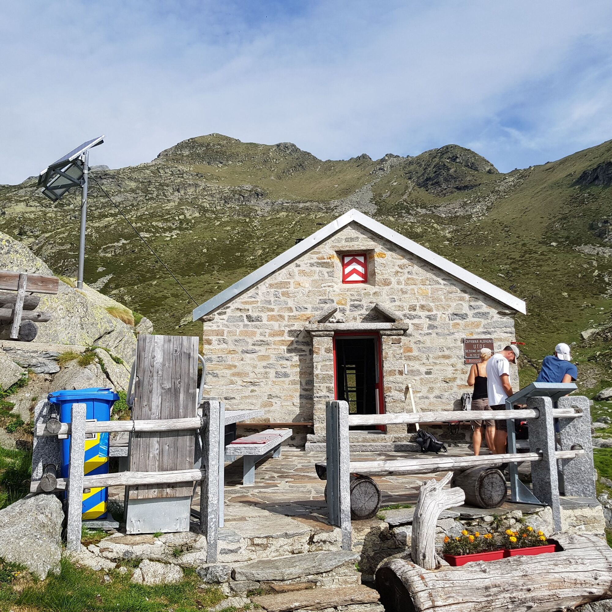
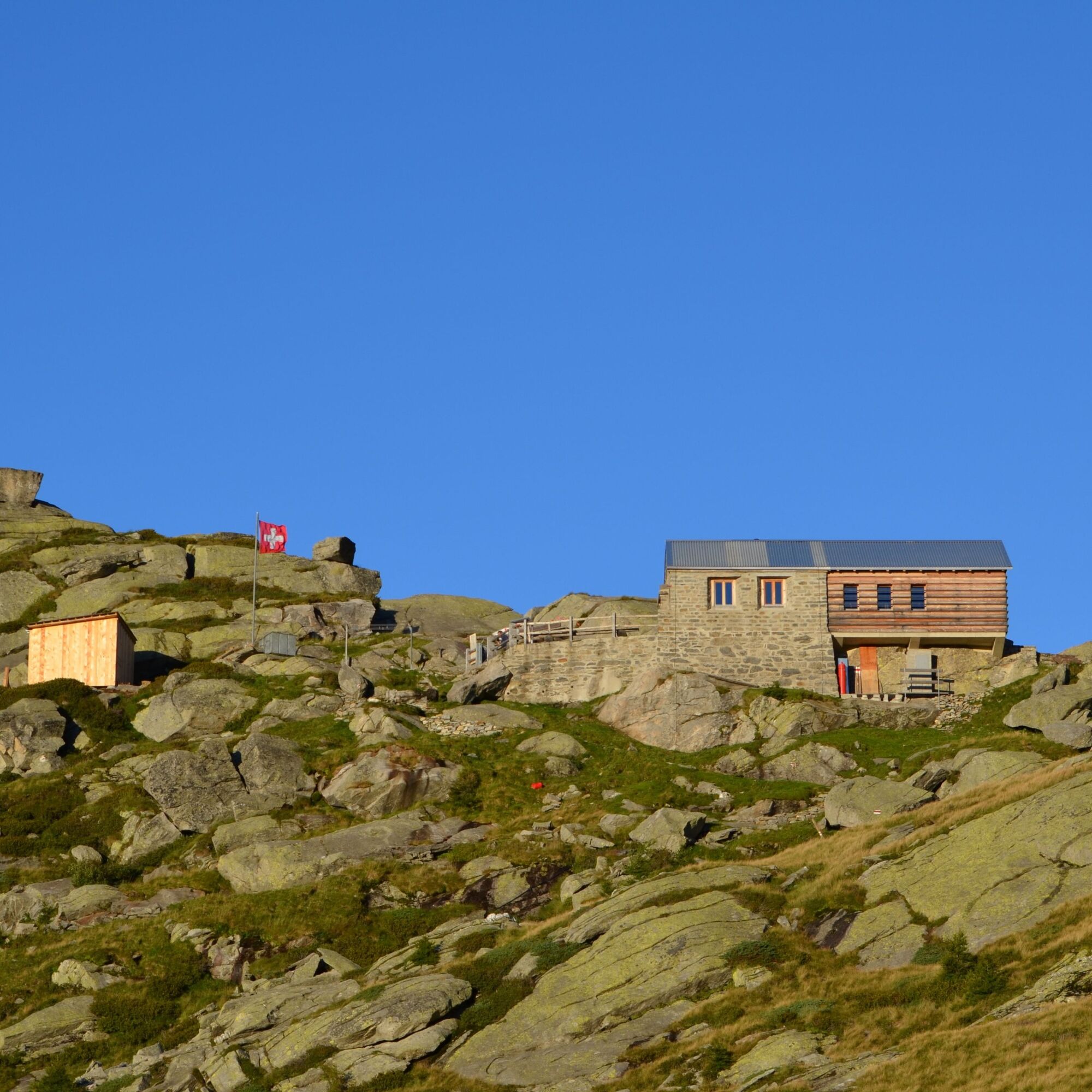
Continue on a well-marked path that crosses pine and larch forests until you emerge onto a traverse along the ridge, at the end of which you enter the Gorduno valley before reaching the Albagno hut at 1864 m.
The hut is a small stone and wood building, particularly beloved by the people of Bellinzona, thanks to the evocative panorama of valley lights that can be seen in the evening and in the morning with the first light of the sun.
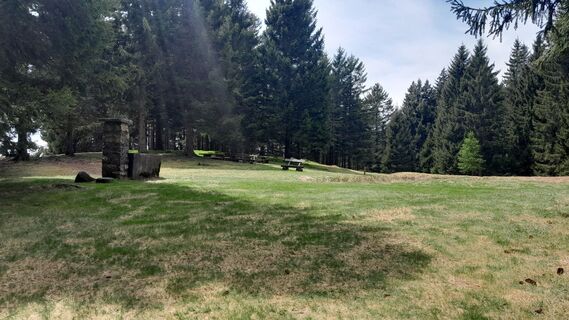
The return includes a stop at Monda, an old alpine pasture transformed into a summer alpine farm in recent decades on the initiative of the Patriziato of Carasso and still used today, before concluding the outing by returning to the Mornera Grotto.
Áno
Áno
hiking boots
cap
water bottle
sunglasses
sunscreen
hiking map
camera
food
Montagnepulite: This project was created to support the effective and sustainable management of alpine huts in the Ticino region. In particular, waste management. Responsible waste management in the mountains is a matter of common sense. We can all contribute: www.montagnepulite.ch
Webové kamery z prehliadky
Obľúbené výlety v okolí
-
4,8
Verzasca Dam-Mergoscia-Corippo-Lavertezzo
strednáTuristika 13,0 km -
4,5
Tibetan Bridge route (SwitzerlandMobile 628)
strednáTuristika 9,02 km -
5,0
Lavertezzo-Brione Verzasca
svetloTuristika 6,50 km -
4,3
Revöira Ethnographic Trail (SwitzerlandMobile 629)
strednáTuristika 7,97 km -
4,0
Cardada Bike (SwitzerlandMobility 397)
ťažkéMountainbike 30,6 km -
5,0
Verzasca Dam-Monti di Motti-Verzasca Dam
strednáTuristika 9,31 km -
Cardada-Cimetta-Alpe Vegnasca-Cardada
strednáTuristika 6,86 km -
4,8
Von Isone über den Camoghè 2.227m nach Colla
ťažkéTuristika 20,2 km -
4,5
Klettersteig dei tre signori, Monte Carasso
ťažkéVia ferrata 4,85 km -
4,0
Vogorno-Alpe Bardughè-Vogorno
strednáTuristika 12,2 km

Turistika a stopovanie


Nenechajte si ujsť ponuky a inšpiráciu na ďalšiu dovolenku
Vaša e-mailová adresa bol pridaný do poštového zoznamu.