







Passo delle Colombe - Passo del Sole

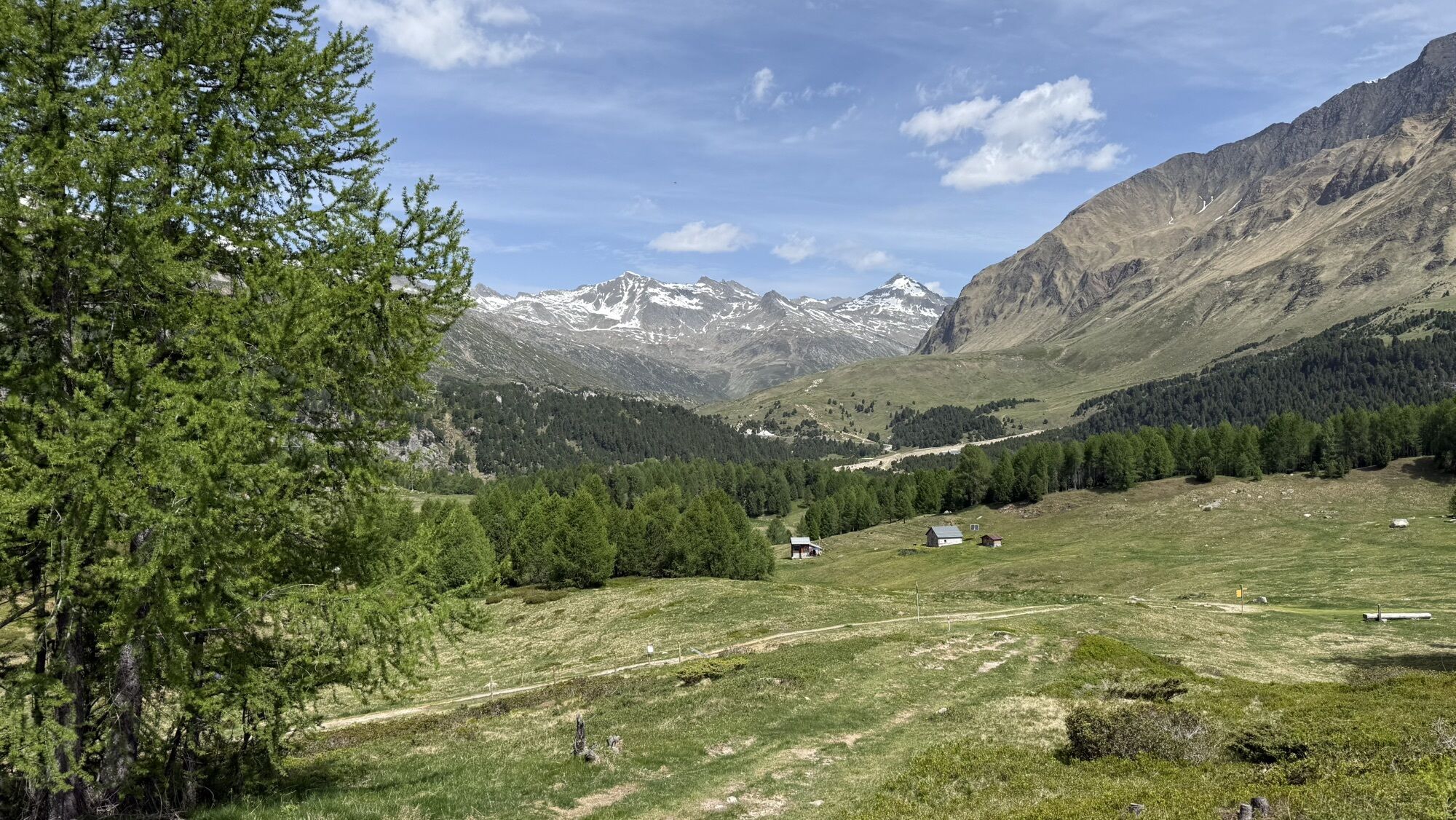
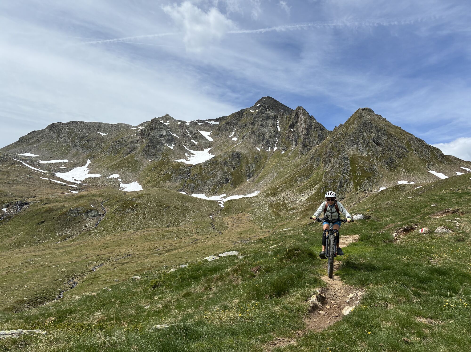
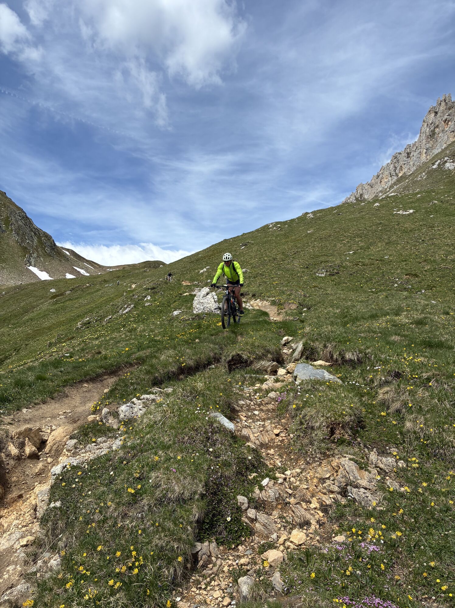
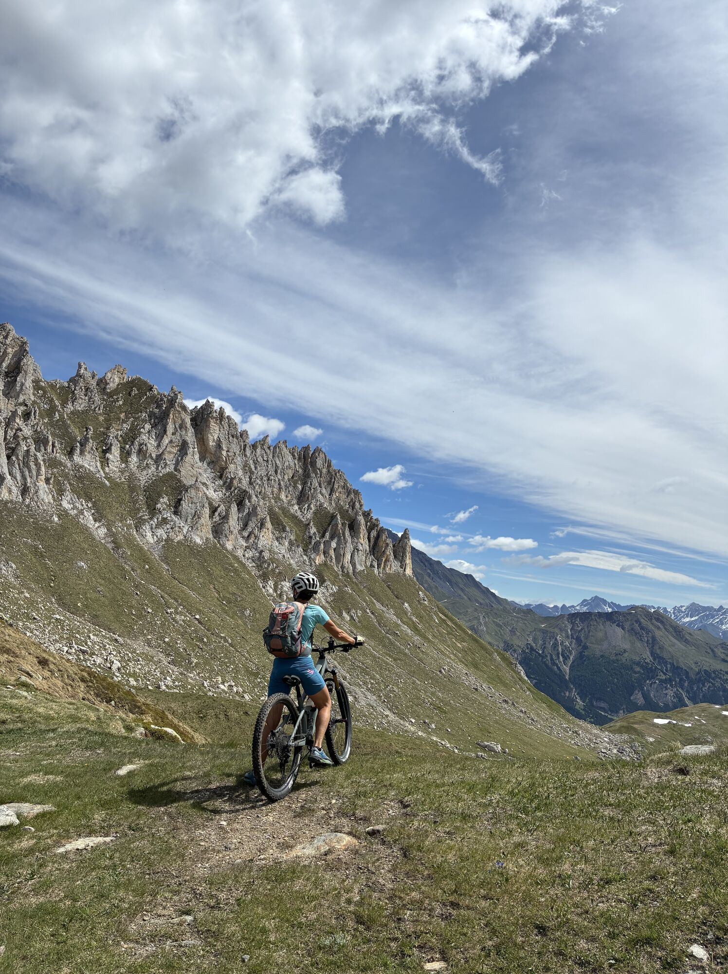
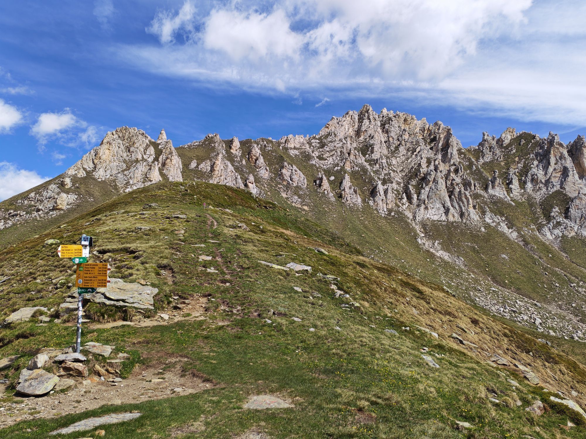
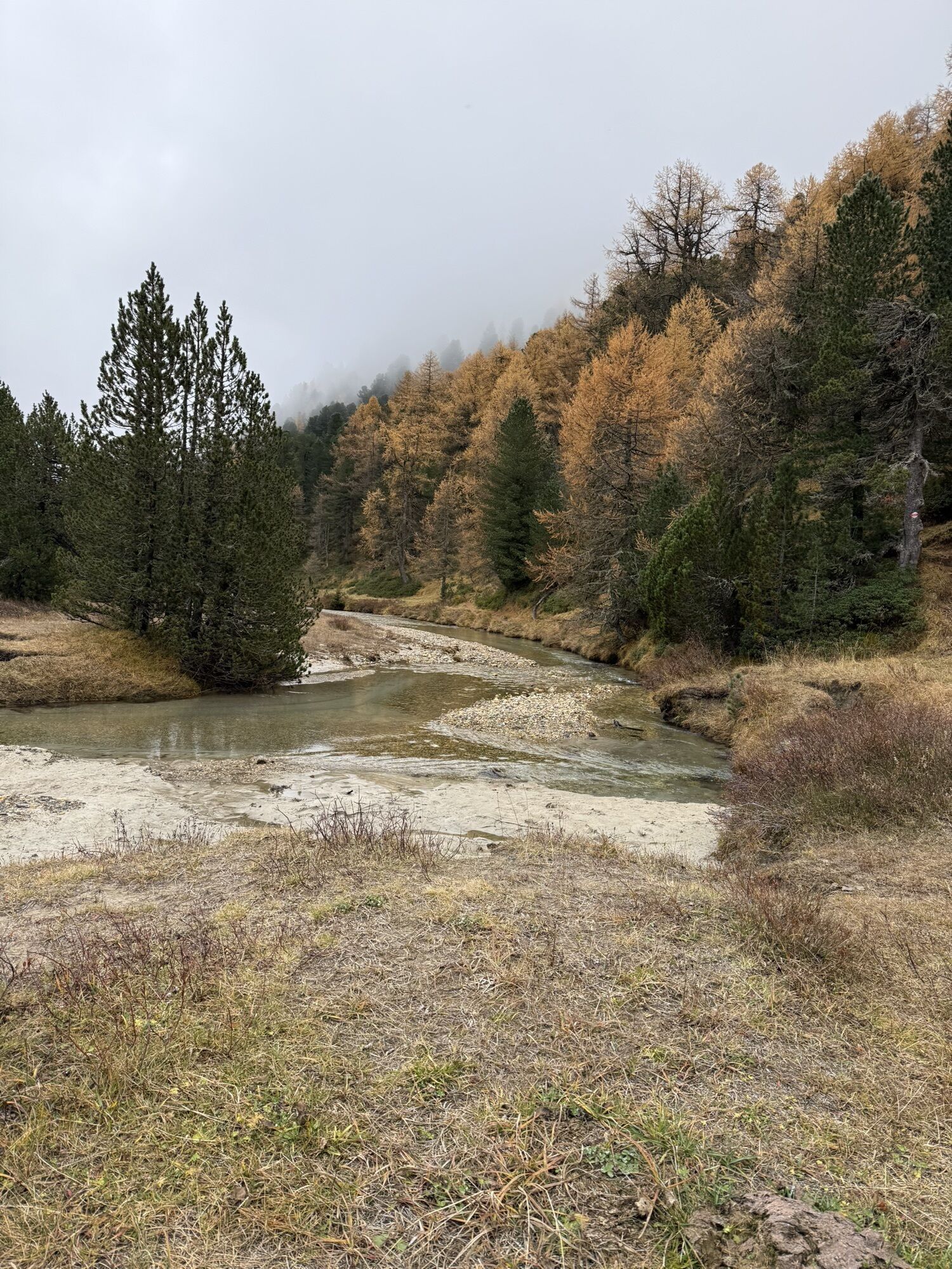
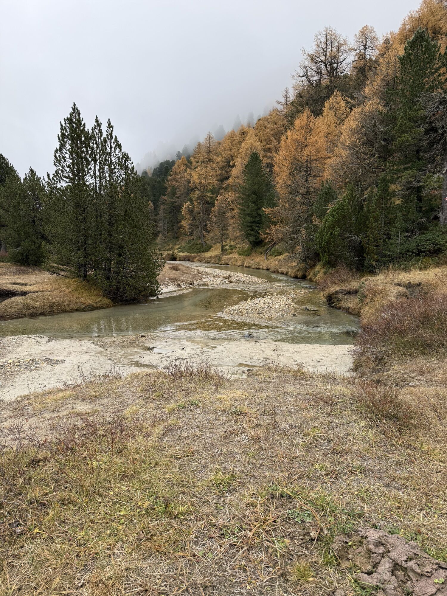
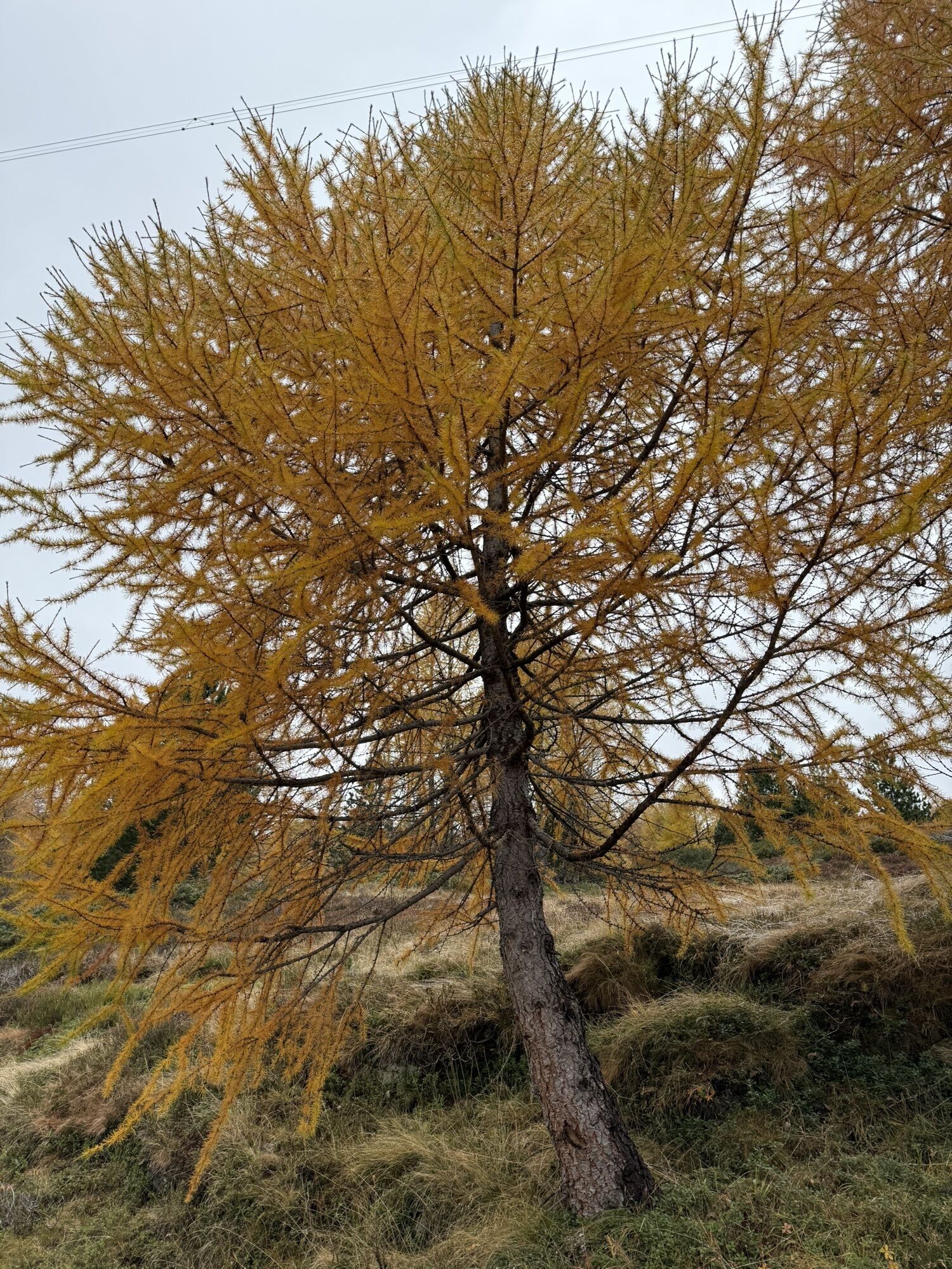


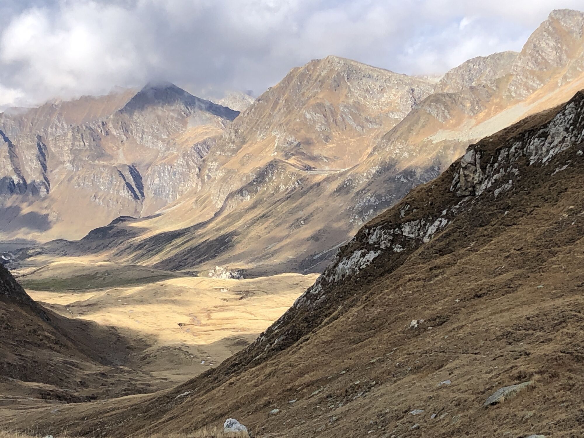
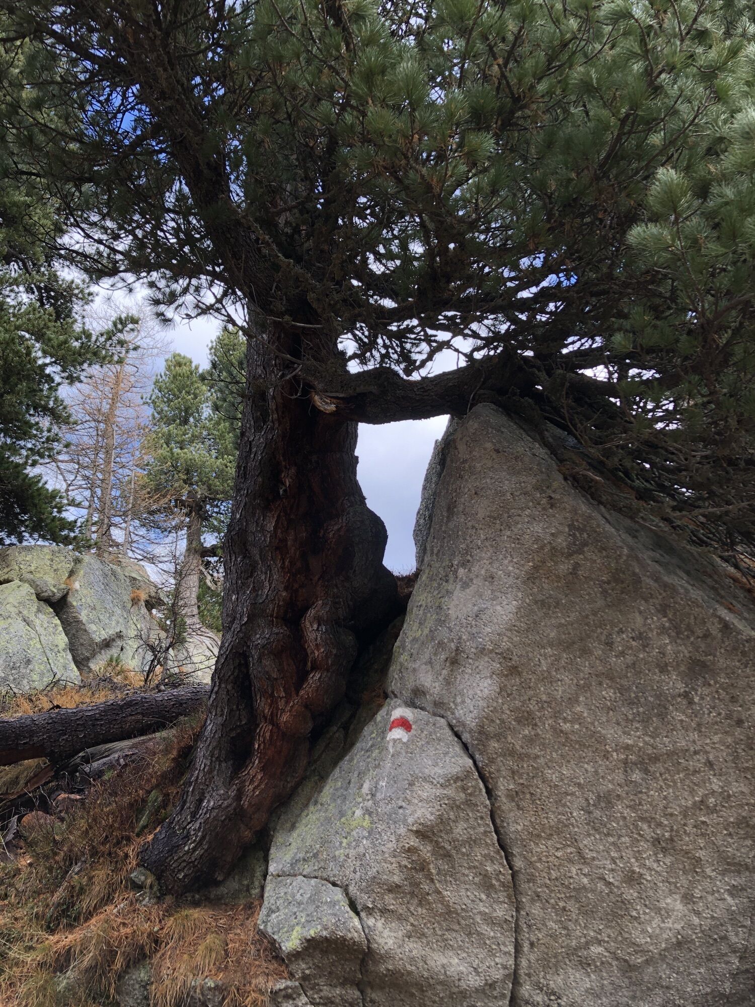


This route starts from the Casaccia Infocenter heading towards the Alpe di Gana, towards the Riale dei Canali where the ascent to Passo delle Colombe begins.
The trail is uphill but is quickly overcome...
This route starts from the Casaccia Infocenter heading towards the Alpe di Gana, towards the Riale dei Canali where the ascent to Passo delle Colombe begins.
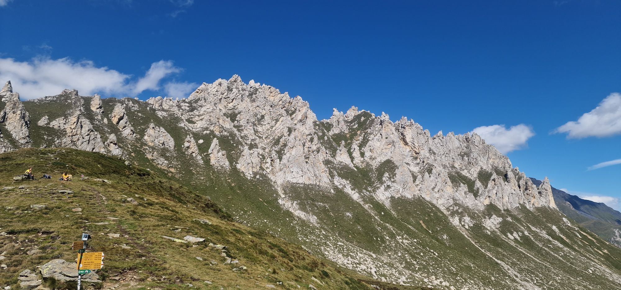
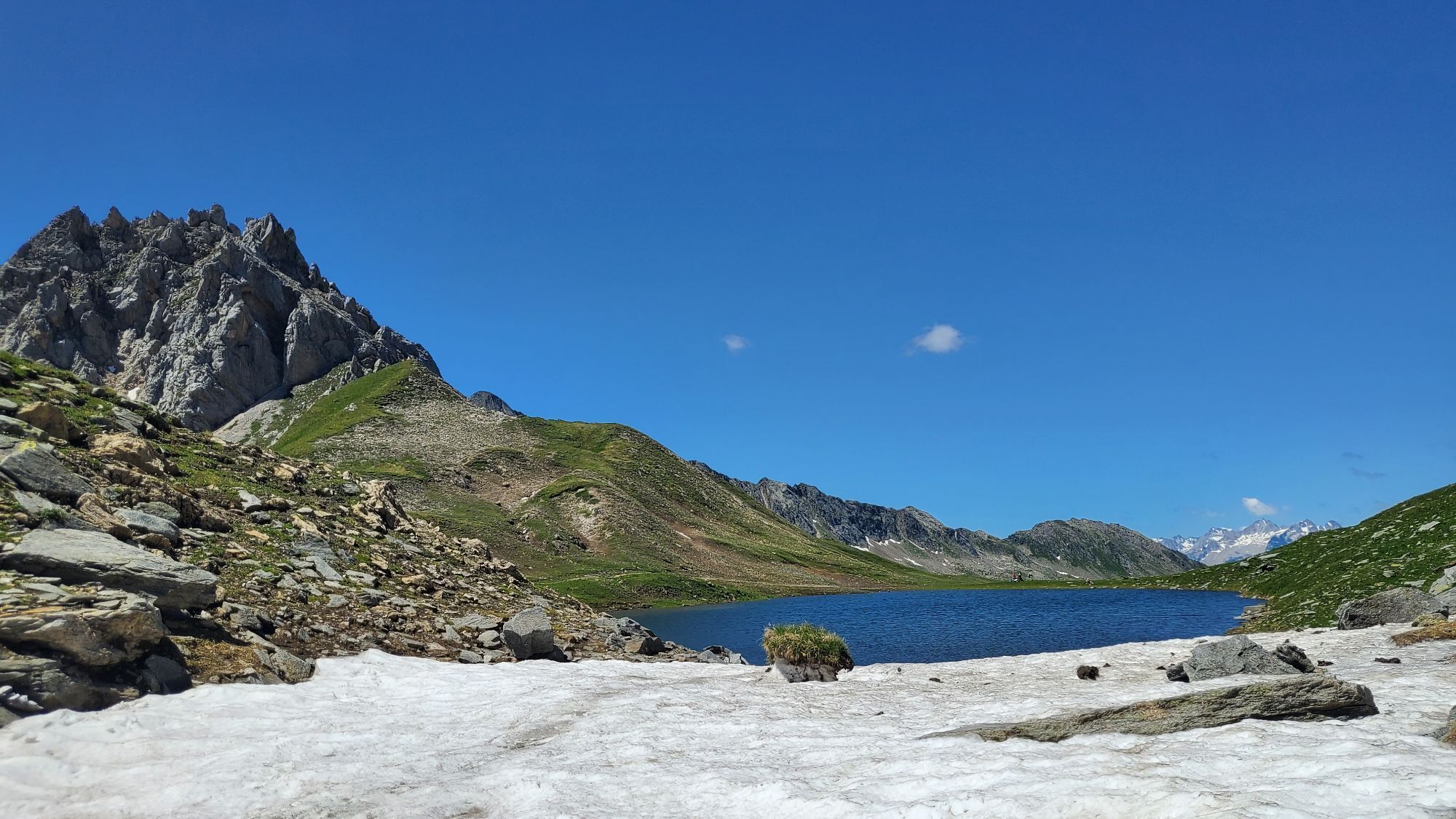
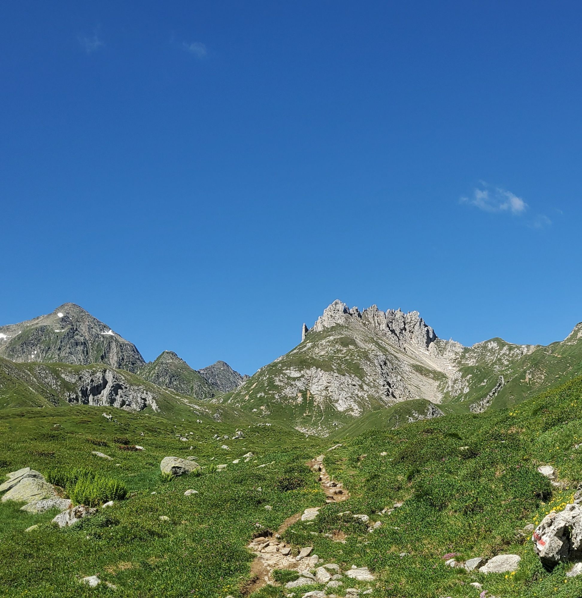
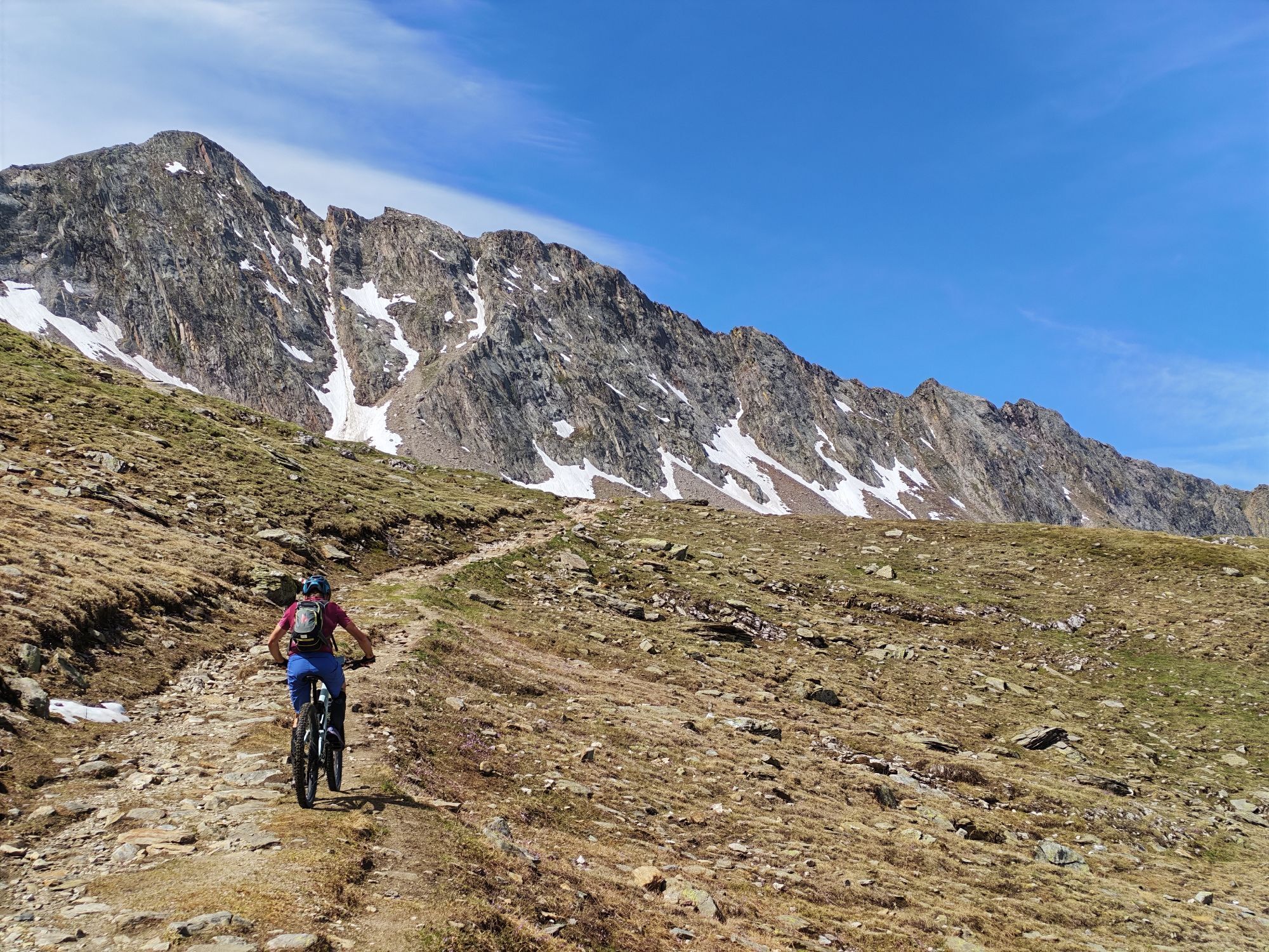
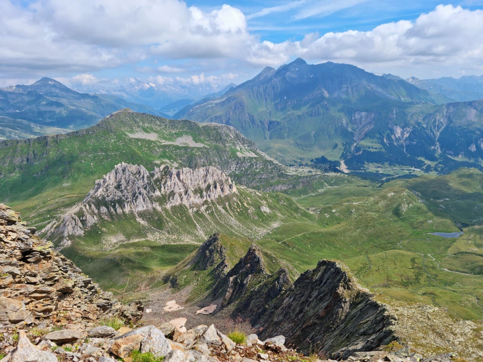
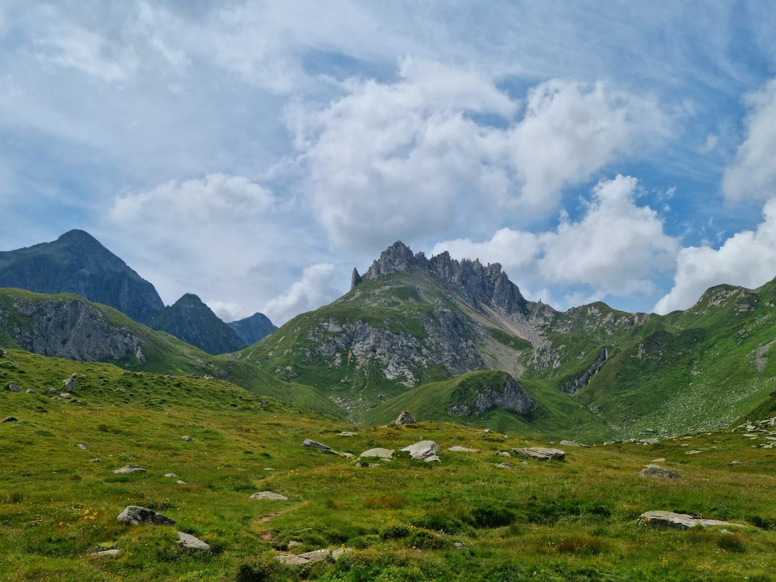
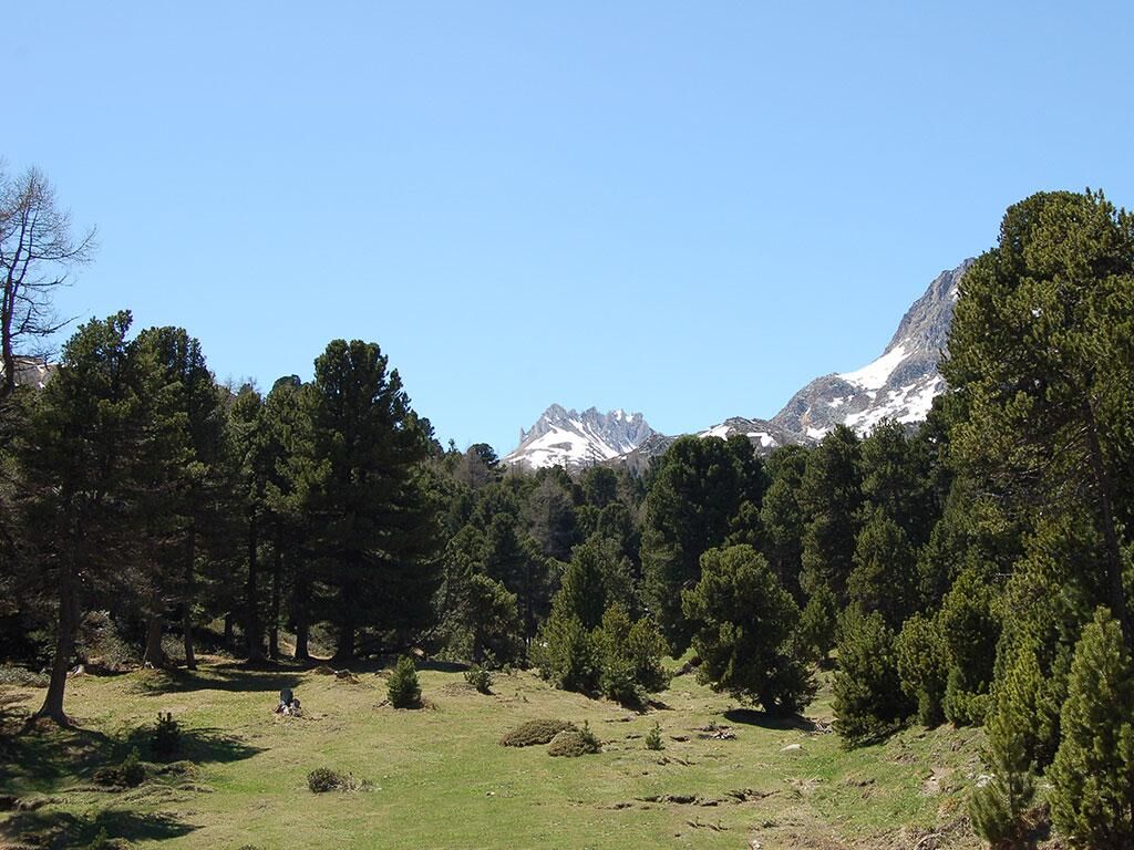
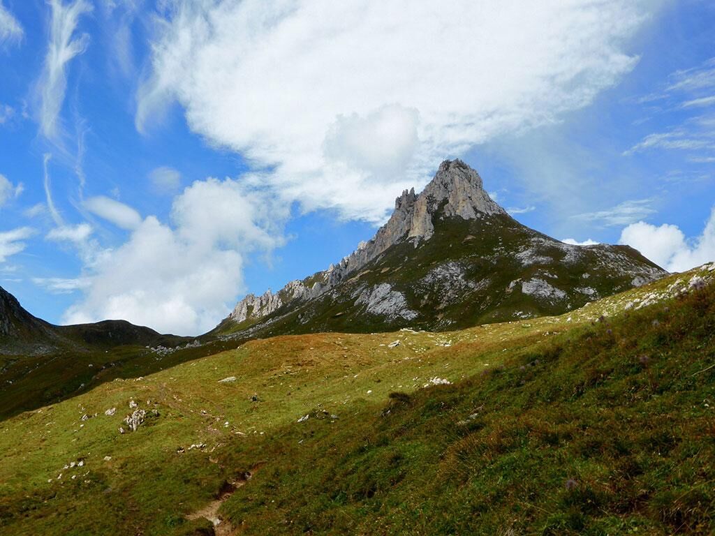
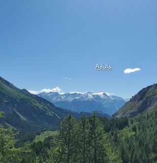
The trail is uphill but is quickly overcome to reach what can be defined as an amphitheater, located on a false flat area, with an extraordinary view of Pizzo delle Colombe and its pinnacles: these are the most spectacular outcrops of dolomitic rocks that form the cover of the San Gottardo massif.
The curious morphology of towers and pinnacles, highlighted by the toponym Campanin, is the result of erosive action of water that over millennia has isolated the numerous rocky spires.
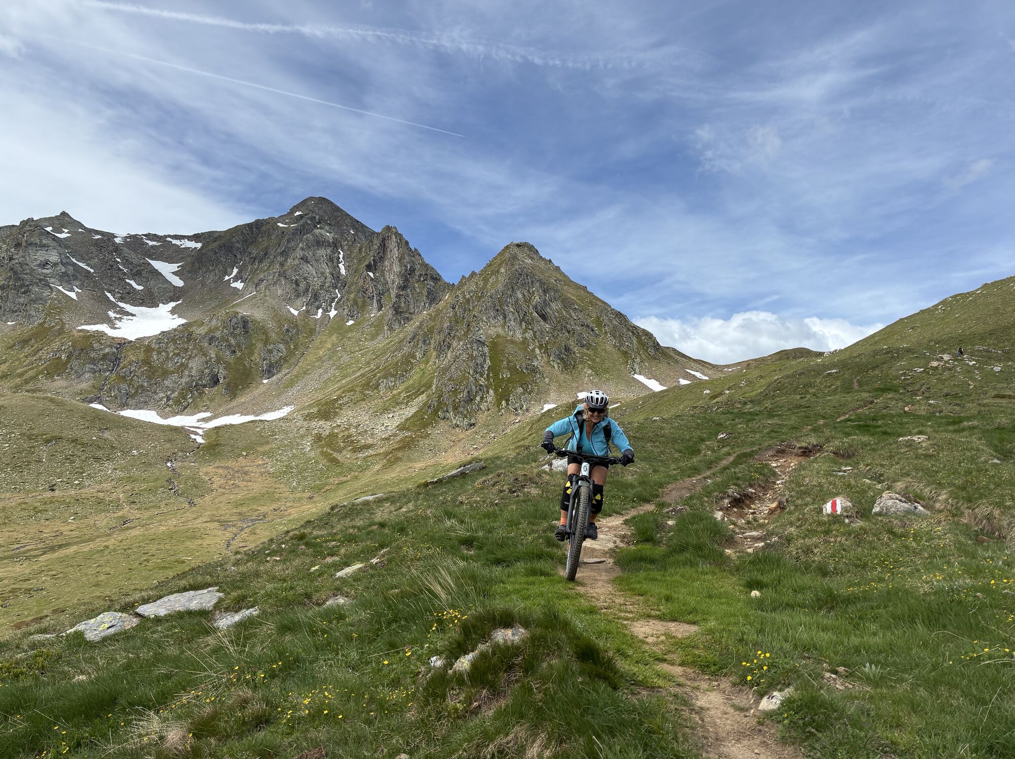
The second steep climb begins again, which becomes more challenging as you face most of the elevation gain of the hike.
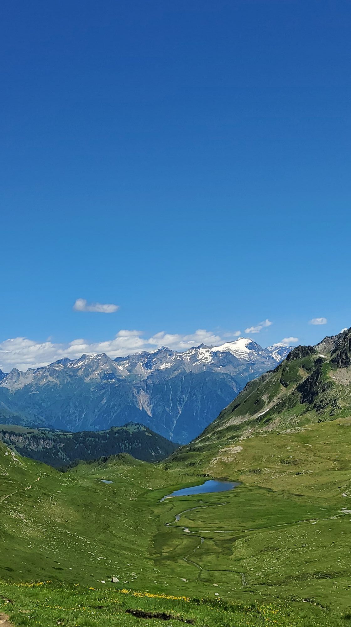
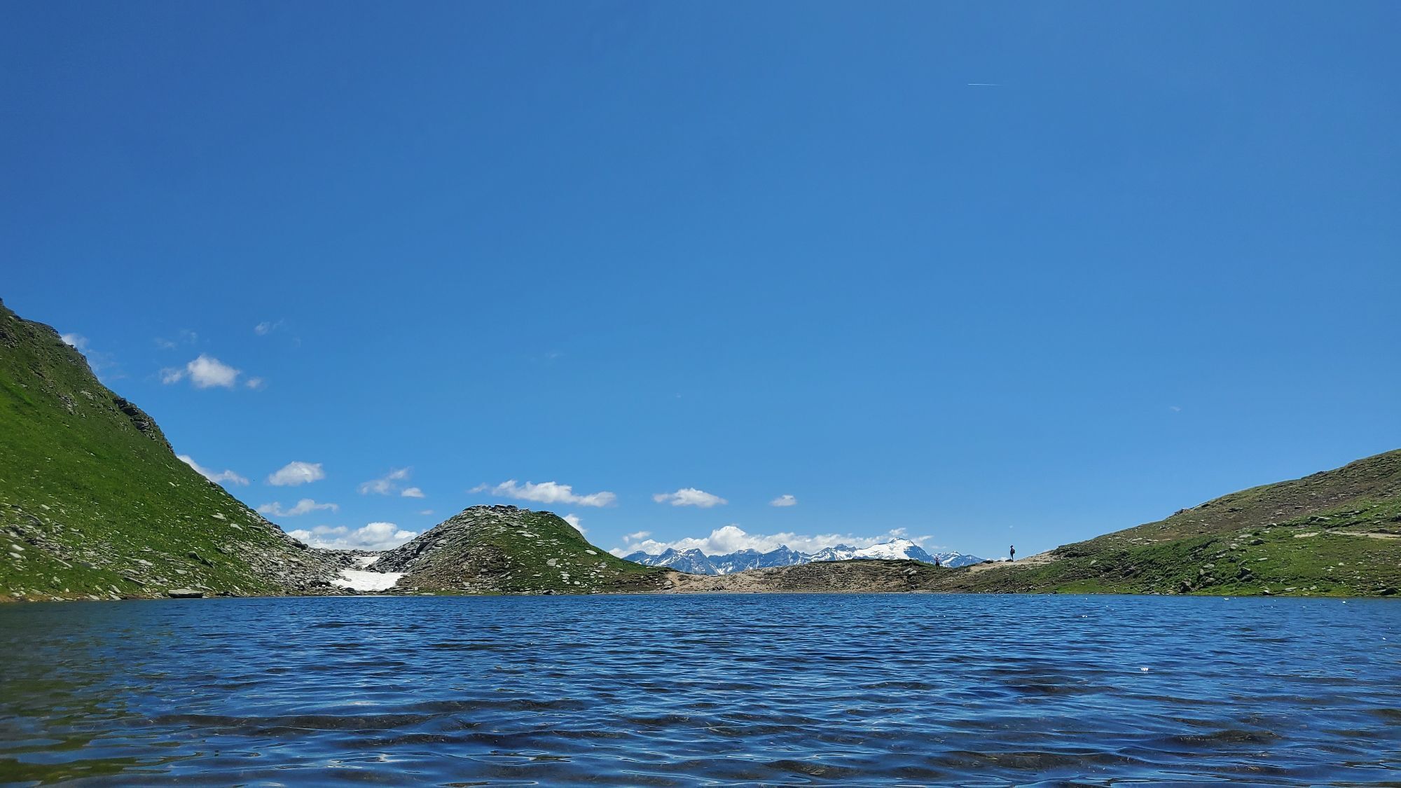
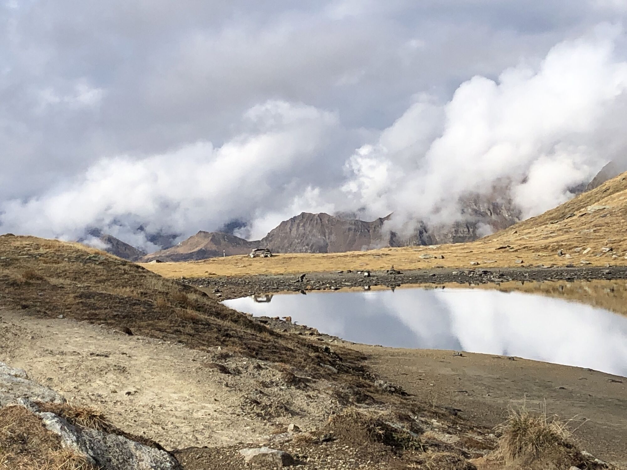
Every effort is however rewarded by reaching the top of Passo delle Colombe and, with a few more steps, to the Campanitt lake.
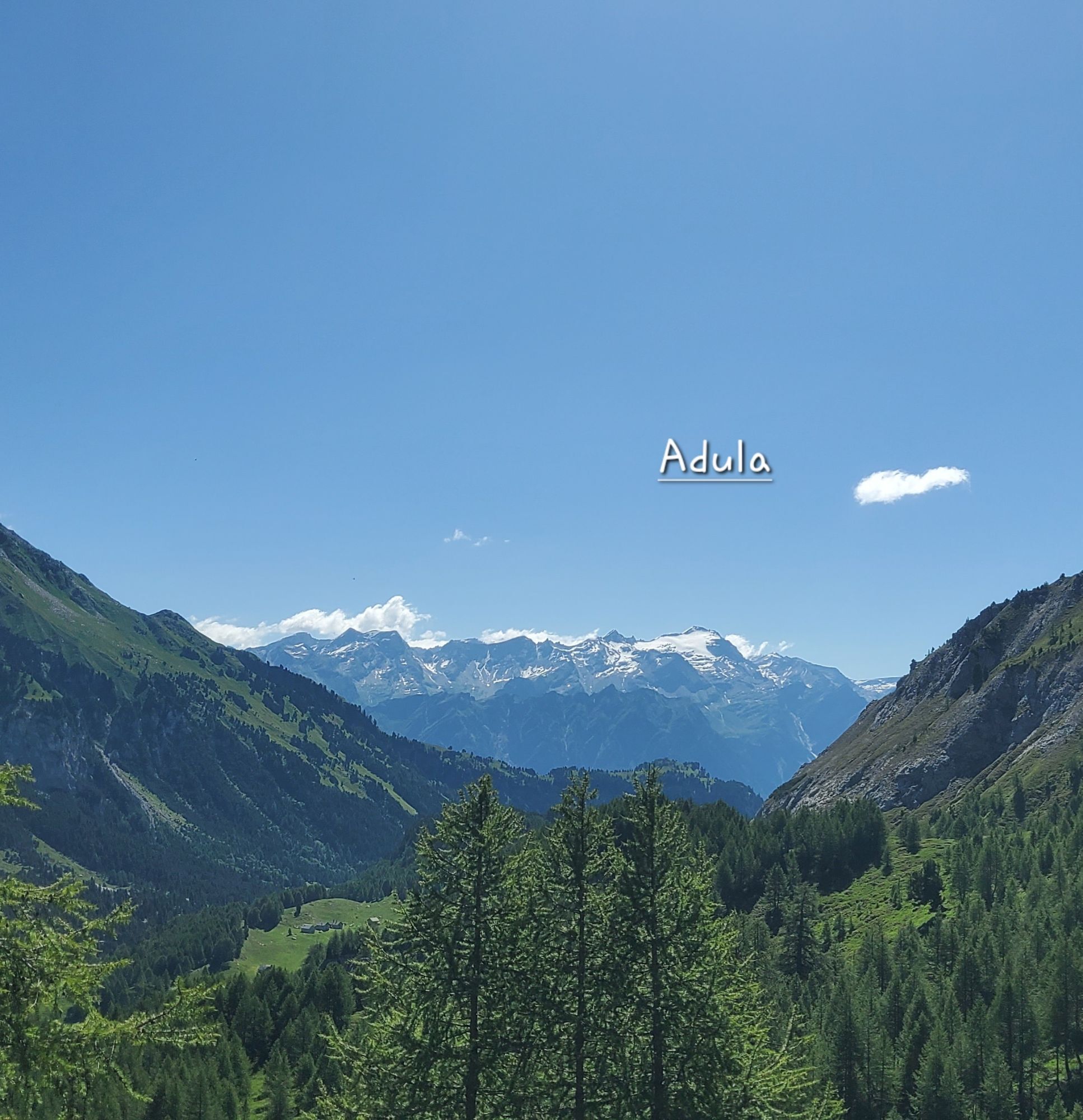
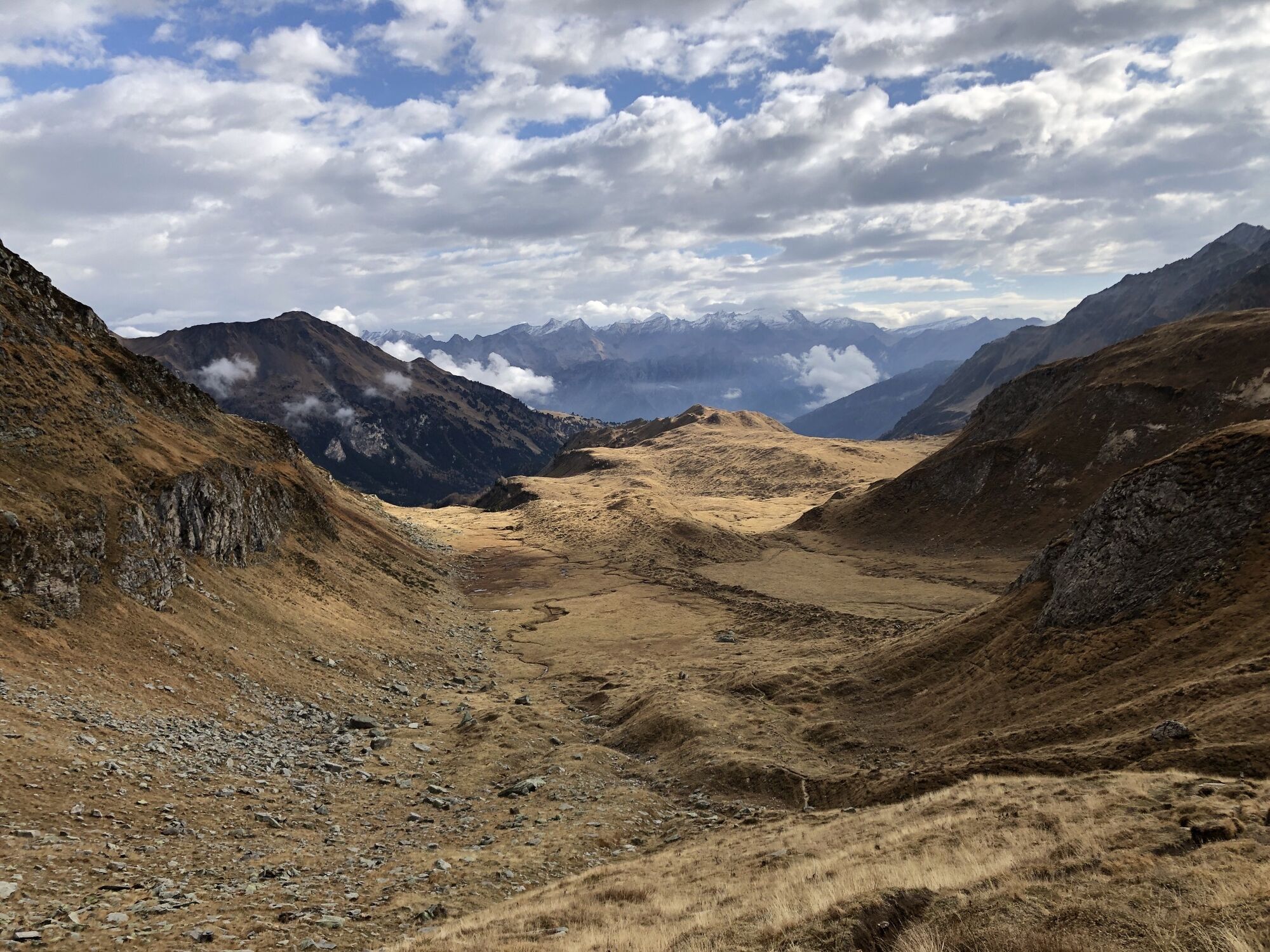
You descend towards Alpe Carorescio, admiring the lush Ritom region, then climb back up to Passo del Sole. Even from here the view is truly priceless, being able to admire the other side of the Campanitt.
The hardest efforts are now behind, as the long descent begins, first towards Lareccio, then Ai Pini and returning to Casaccia.


Waterproof, light and warm clothing
Hiking boots
Small first aid kit with pocket knife
Sunglasses, sunscreen, water bottle
Hiking / topographic map
Compass
Camera
Food
Montagnepulite: This project was created to promote the effective and sustainable management of alpine huts in the Ticino area. In particular, the management of waste. Responsible waste management in the mountains is a matter of common sense. We can all make a contribution:




Obľúbené výlety v okolí
-
4,9
Rheinquelle - Lai da Tuma über den Pazzolastock
strednáTuristika 10,3 km -
4,8
Fusio-Lake Mognola-Fusio
strednáTuristika 8,94 km -
Rheinquelle - Lai da Tuma
strednáTuristika 5,67 km -
3,8
Piz Cavradi
strednáTuristika 6,48 km -
Val Piora lakes route
strednáTuristika 15,8 km -
4,8
Tibet Suspension Bridge Route Riasc
svetloTuristika 6,12 km -
4,7
Source of the Brenno
svetloTuristika 6 km -
5,0
Excursion to the Tremorgio and Morghirolo lakes
ťažkéTuristika 24,2 km -
5,0
Alps of Lucomagno
strednáTuristika 13,2 km -
Lai Blau
Turistika 8 km
Turistika a stopovanie


Nenechajte si ujsť ponuky a inšpiráciu na ďalšiu dovolenku
Vaša e-mailová adresa bol pridaný do poštového zoznamu.





