


Lago del Naret-Sasso Nero-Lago del Naret
Úroveň náročnosti: T3
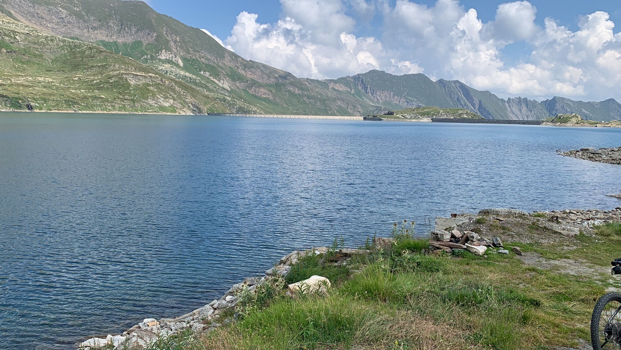
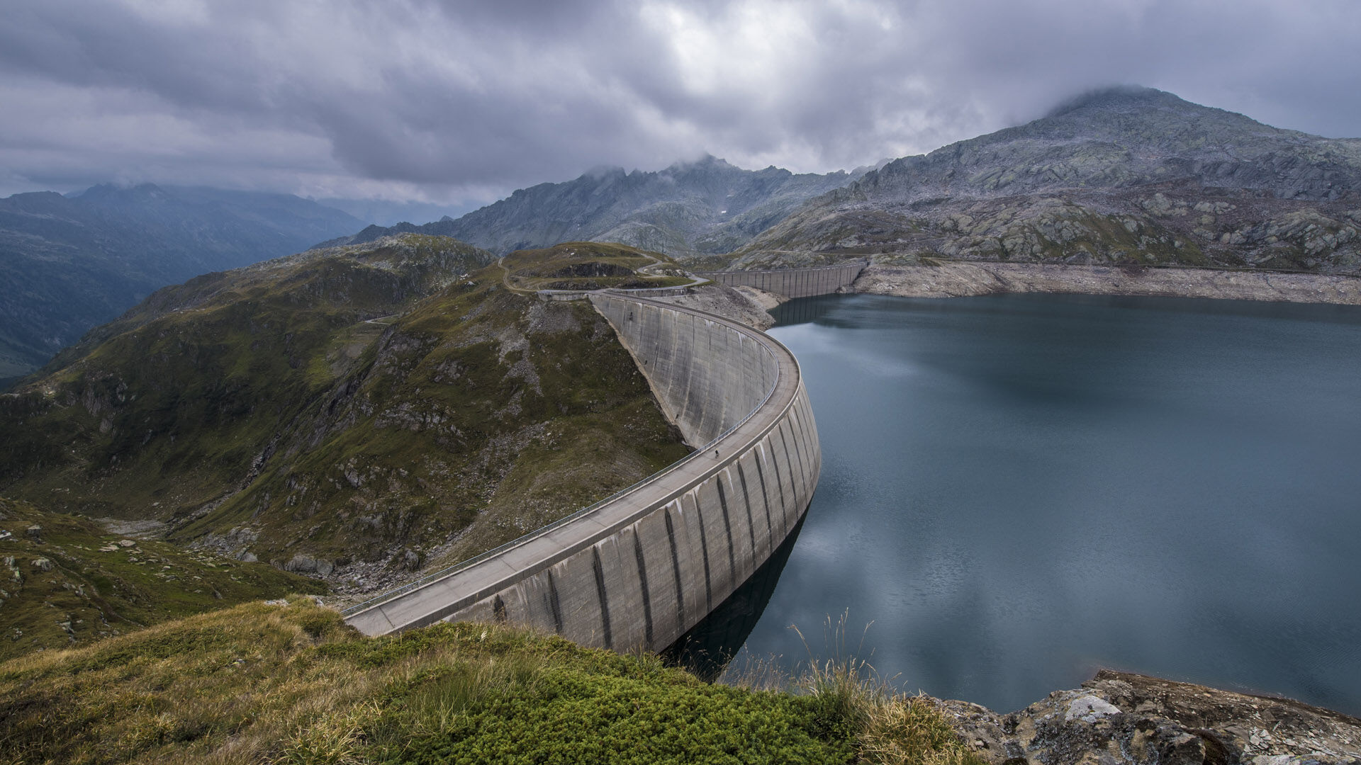
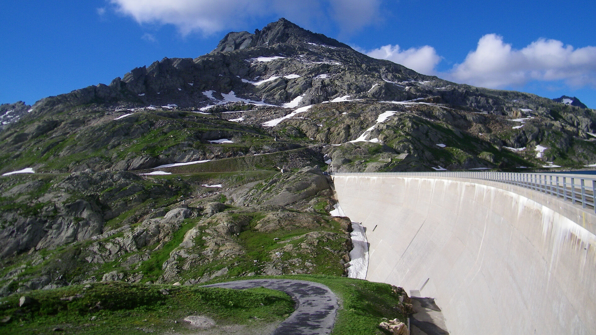
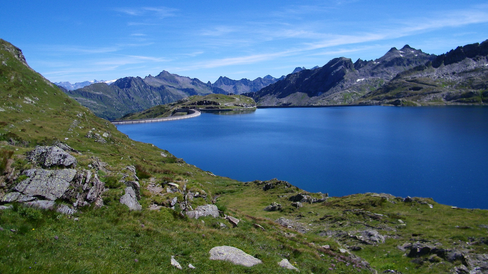
The artificial lake opened in 1970, Lago Narèt, is used to produce hydroelectric power and, with its 31.6 million m³, constitutes an imposing structure at 2300 m above sea level. The surrounding peaks...
The artificial lake opened in 1970, Lago Narèt, is used to produce hydroelectric power and, with its 31.6 million m³, constitutes an imposing structure at 2300 m above sea level. The surrounding peaks and mountain lakes invite you to discover more about this place.
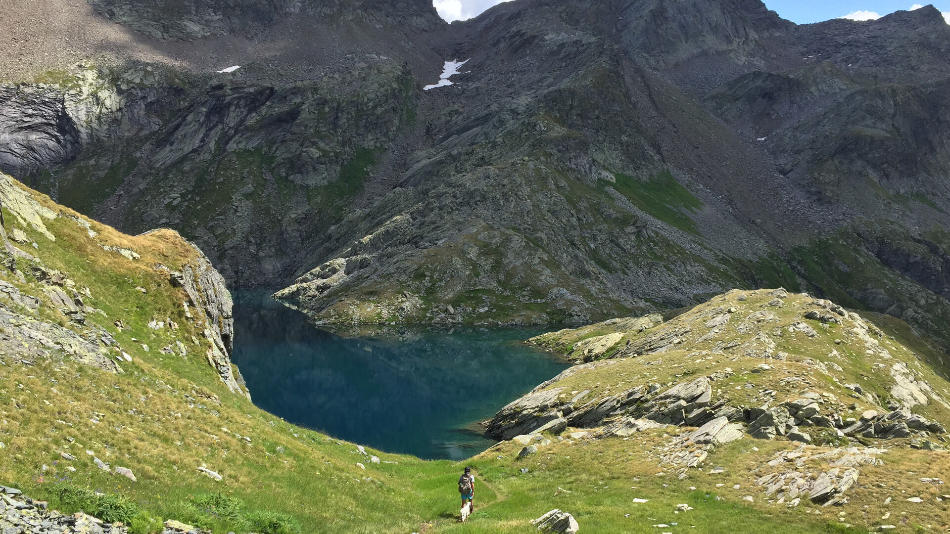
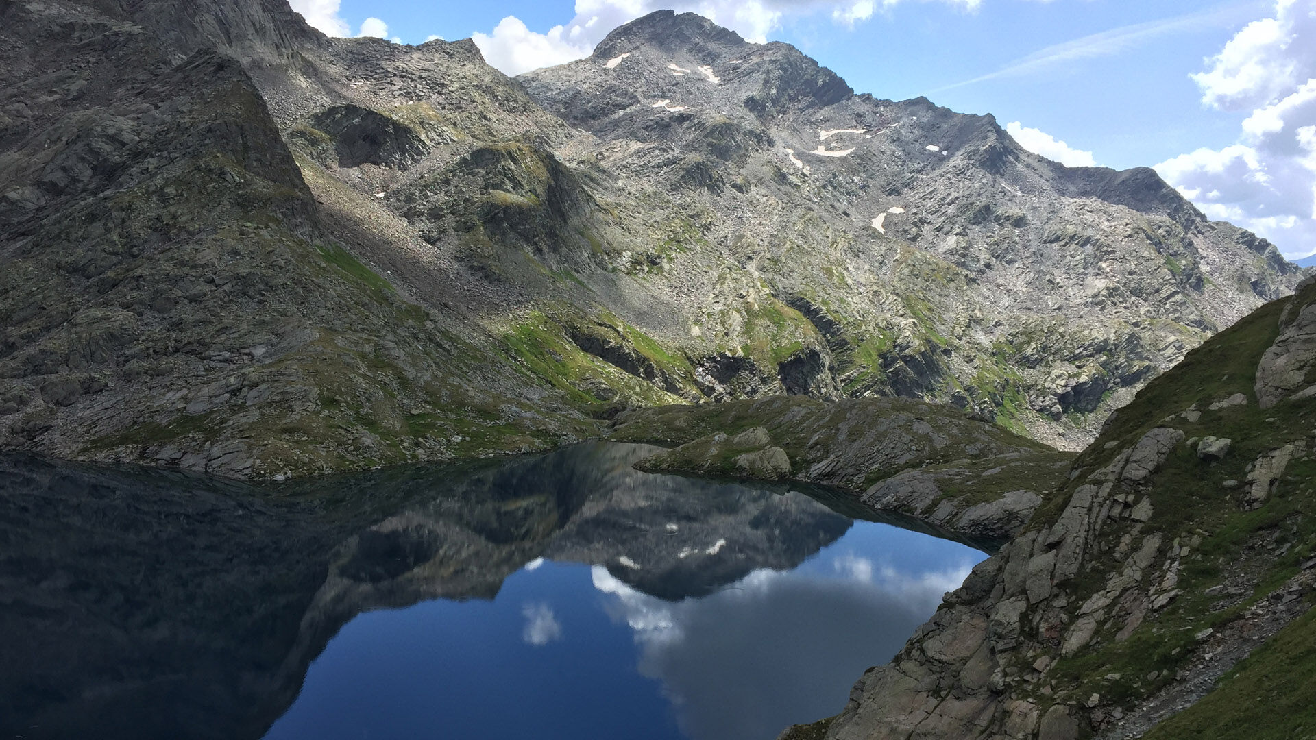
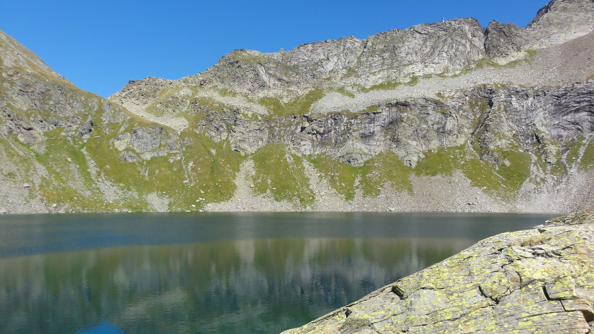
From the parking lot along Lago Narèt you continue to the Pass and then through the sparse landscape of the Valle del Coro and then uphill to the Bocchetta del Lago Nero. On the right you can admire Lago Nero and, with some luck, also encounter chamois and ibex.
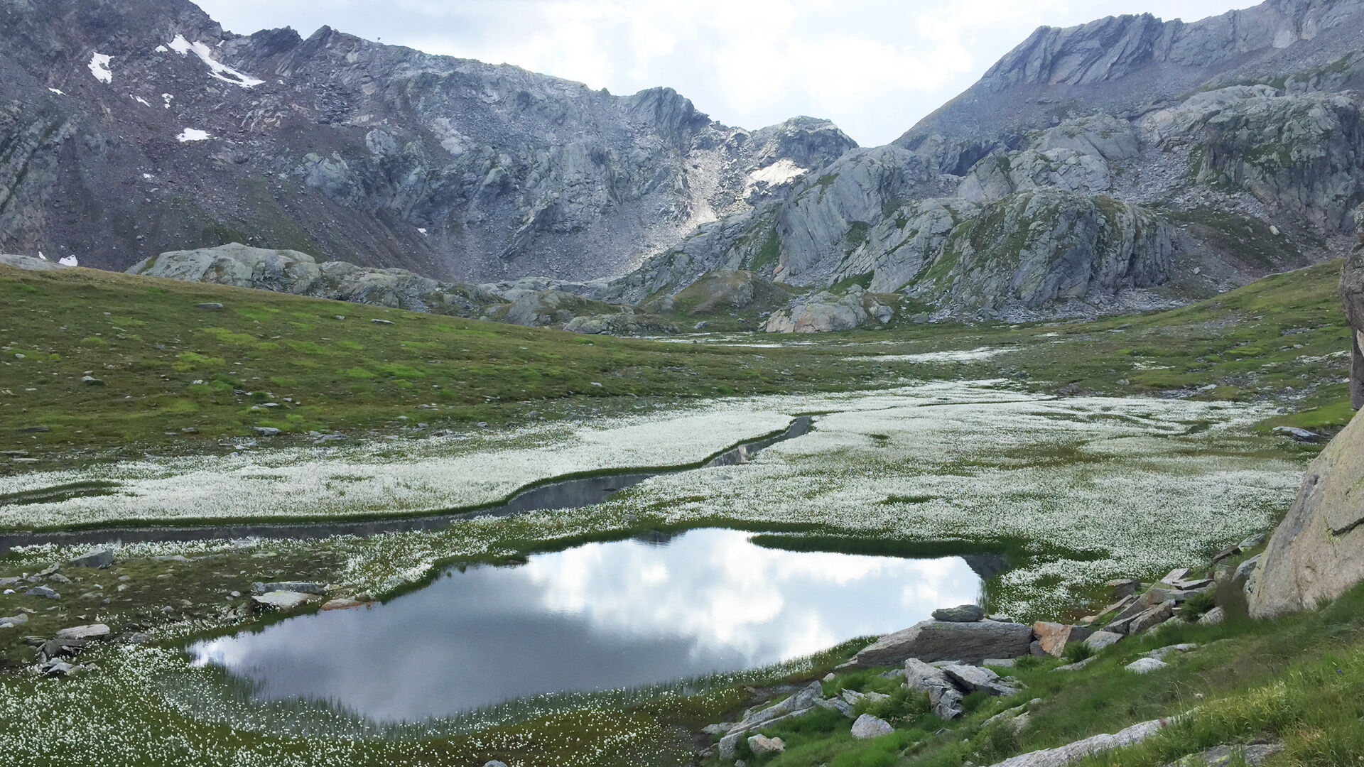
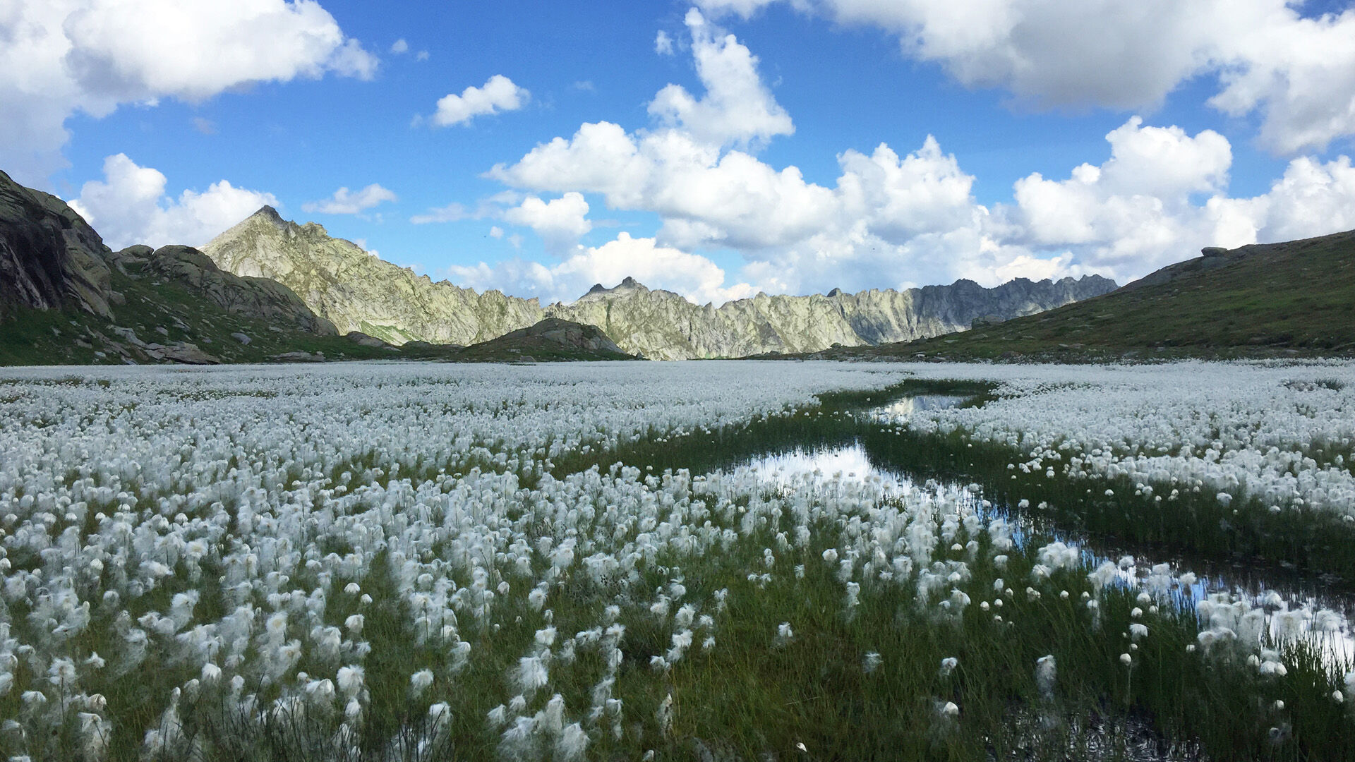
The descent from the Bocchetta is very steep. After overcoming about 300 meters of elevation, the trail leads through the lake landscape of Laiòzz, a group of mountain lakes with some islets. You then continue downhill, passing Sasso Nero and a small shelter on the left. Follow one final ascent to return to Lago del Narèt.
The route can be comfortably done in both directions.

Lago del Narèt-Bocchetta del Lago Nero-Rifugio Sasso Nero-Lago del Narèt
Áno
Hiking backpack (approx. 20 liters) with rain cover
Sturdy and comfortable shoes
Clothing suitable for weather conditions and durable, layering principle, and possibly trekking poles
Protection from sun and rain
Provisions and drinking water
First aid kit
Pocket knife
Mobile phone, possibly headlamp
Map material
It is recommended to arrive by car. From Locarno to Fusio and then to the artificial lake Naret parking lot.
T3
Schweizer Wanderwege - Sicher unterwegs
Obľúbené výlety v okolí
-
4,5
Lakes Orsino, Orsirora and Valletta Route
Turistika 12,8 km -
4,7
Fusio-Lake Mognola-Fusio
strednáTuristika 8,94 km -
4,8
Ciaspolata al Rifugio Maria Luisa
strednáSnežnice 11,2 km -
4,0
Foroglio-Calnègia-Foroglio
strednáTuristika 8,37 km -
Via Alta Vallemaggia
ťažkéTuristika 169,7 km -
4,0
Capanna Piansecco
svetloSnežnice 7,26 km -
Glaciological Path
strednáTuristika 8,18 km -
Val Piora lakes route
strednáTuristika 15,8 km -
5,0
Toce Waterfall - Riale - San Giacomo Pass road
strednáTuristika 10,9 km -
4,0
Realp - Witenwasseren - Rotondohütte - Leckihorn - Rottällihorn - Stelliboden - Realp
svetloSkitour 19,7 km

Turistika a stopovanie


Nenechajte si ujsť ponuky a inšpiráciu na ďalšiu dovolenku
Vaša e-mailová adresa bol pridaný do poštového zoznamu.