


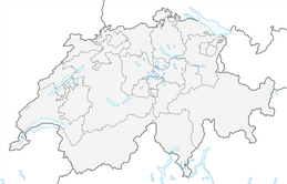
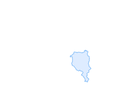

Valle del Salto round route (SvizzeraMobile 611)
Úroveň náročnosti: T2
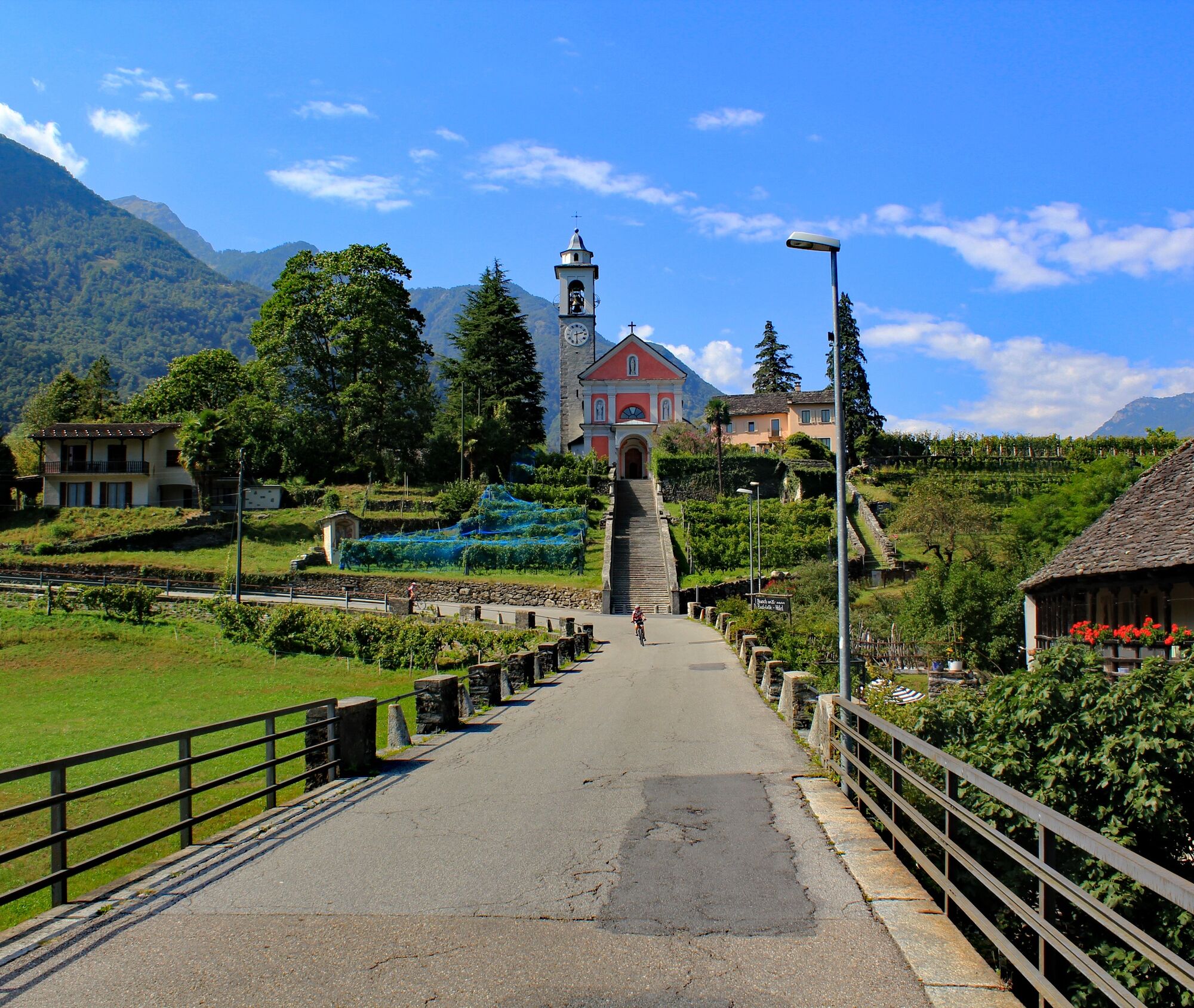
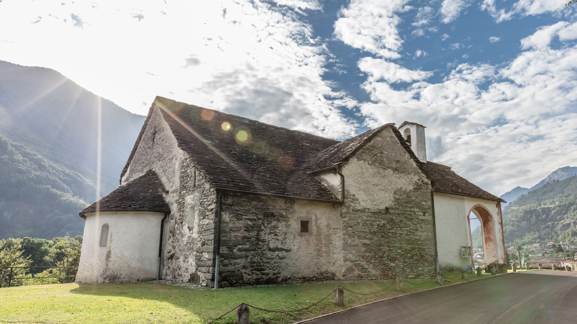
From the ancient nucleus of the village of Maggia, a long staircase climbs up to the chapel of Santa Maria della Pioda. Passing vineyards (heroic viticulture), beyond the ancient stone bridge (avoid looking...
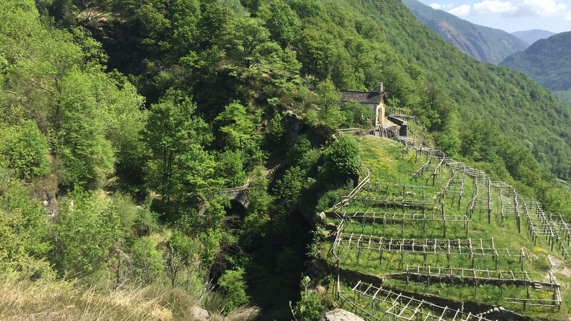
From the ancient nucleus of the village of Maggia, a long staircase climbs up to the chapel of Santa Maria della Pioda. Passing vineyards (heroic viticulture), beyond the ancient stone bridge (avoid looking down if you suffer from vertigo) and turning right at Bivio Voipo, you enter the white-red mountain trail that starts from the Valle del Salto.
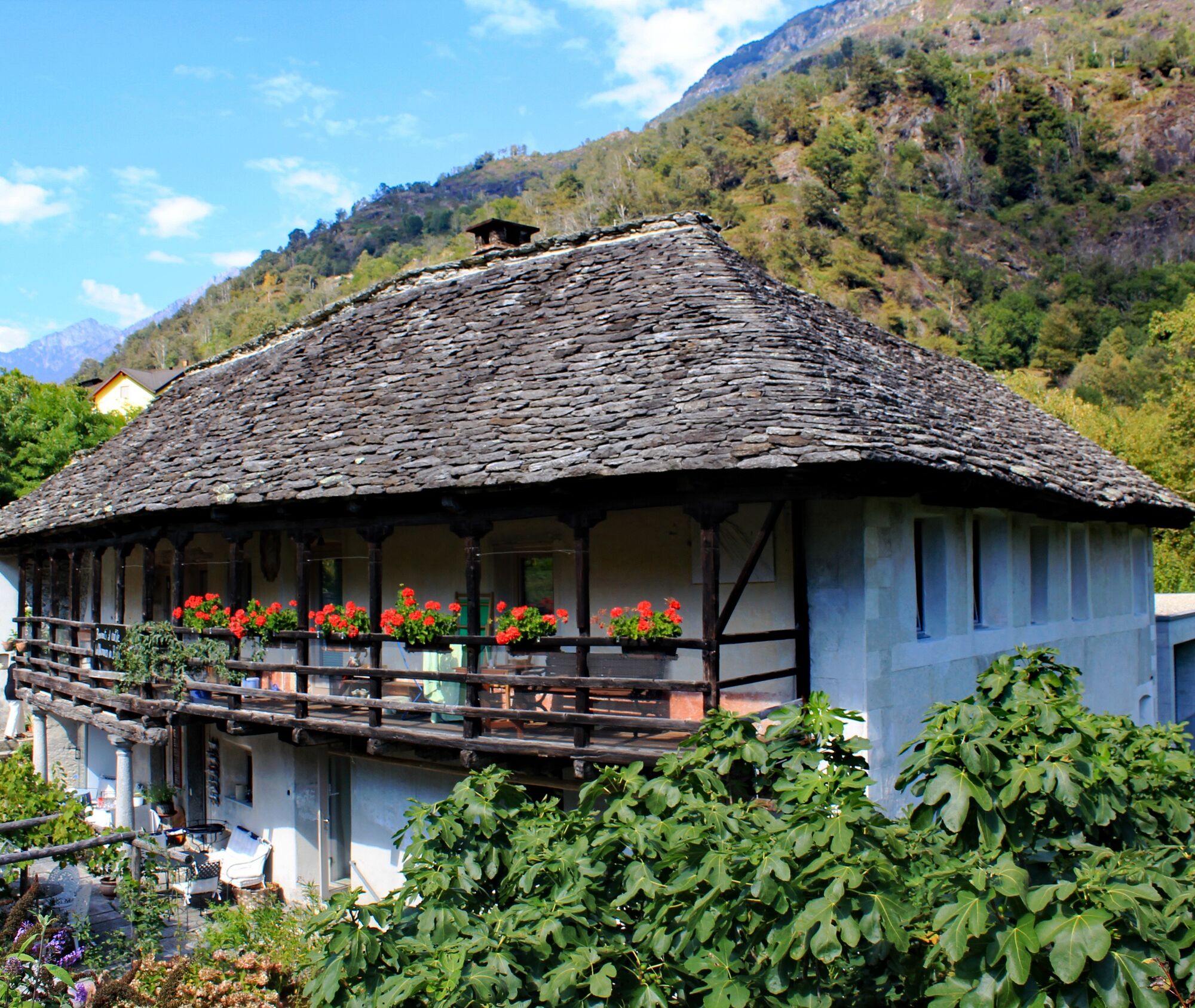
The always uphill route goes deep into this wild valley, passing farmhouses, sometimes located in the most unexpected places, such as on extremely steep slopes. After Canaa, descend to the small dam of Maiasco, and before going down, the path rises again to the Valle di Ringio.
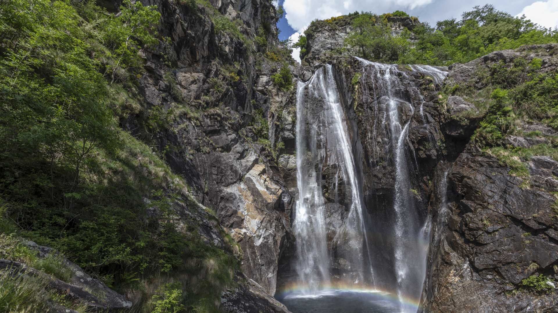
Then follow an iron staircase back to the starting point at the chapel of Santa Maria and again to Maggia (bus to Locarno as per schedule). In Maggia there are also restaurants to refresh yourself or why not opt for a refreshing dip in the sparkling waters of the waterfall (Cascata del Salto)?

Maggia-I Pidèll-A Braiaa-La Cósta di Torzèd-A Talpígn-In Canaa d Zótt-In Rinsg-Cassinèla-In Òvia-Maggia
Áno
Áno
Hiking backpack (approx. 20 liters) with rain cover
Sturdy and comfortable shoes
Clothing suitable for weather conditions and durable, layering principle and optionally trekking poles
Sun and rain protection
Supplies and drinking water
First aid kit
Pocket knife
Cell phone, optionally headlamp
Map material
Outbound from Locarno, Station: take the NFB 315 bus, direction Cavergno, Village. Get off at Maggia, Centro stop. Return from Maggia, Centro: take the 315 bus direction Locarno, Station. For more information: www.sbb.ch
T2


Obľúbené výlety v okolí
-
3,3
Entlang der Verzasca von Sonogno via Brione nach Lavertezzo
svetloTuristika 14,5 km -
4,8
Avegno-Ponte Brolla-Avegno
strednáTuristika 8,56 km -
4,8
Verzasca Dam-Mergoscia-Corippo-Lavertezzo
strednáTuristika 13,0 km -
5,0
Lavertezzo-Brione Verzasca
svetloTuristika 6,50 km -
4,3
Revöira Ethnographic Trail (SwitzerlandMobile 629)
strednáTuristika 7,97 km -
4,0
Cardada Bike (SwitzerlandMobility 397)
ťažkéMountainbike 30,6 km -
5,0
Verzasca Dam-Monti di Motti-Verzasca Dam
strednáTuristika 9,31 km -
Cardada-Cimetta-Alpe Vegnasca-Cardada
strednáTuristika 6,86 km -
Maggia-Someo-Maggia
svetloTuristika 15,5 km -
4,0
Vogorno-Alpe Bardughè-Vogorno
strednáTuristika 12,2 km

Turistika a stopovanie


Nenechajte si ujsť ponuky a inšpiráciu na ďalšiu dovolenku
Vaša e-mailová adresa bol pridaný do poštového zoznamu.