







Meride - Arzo - Poncione - Meride
Úroveň náročnosti: T2

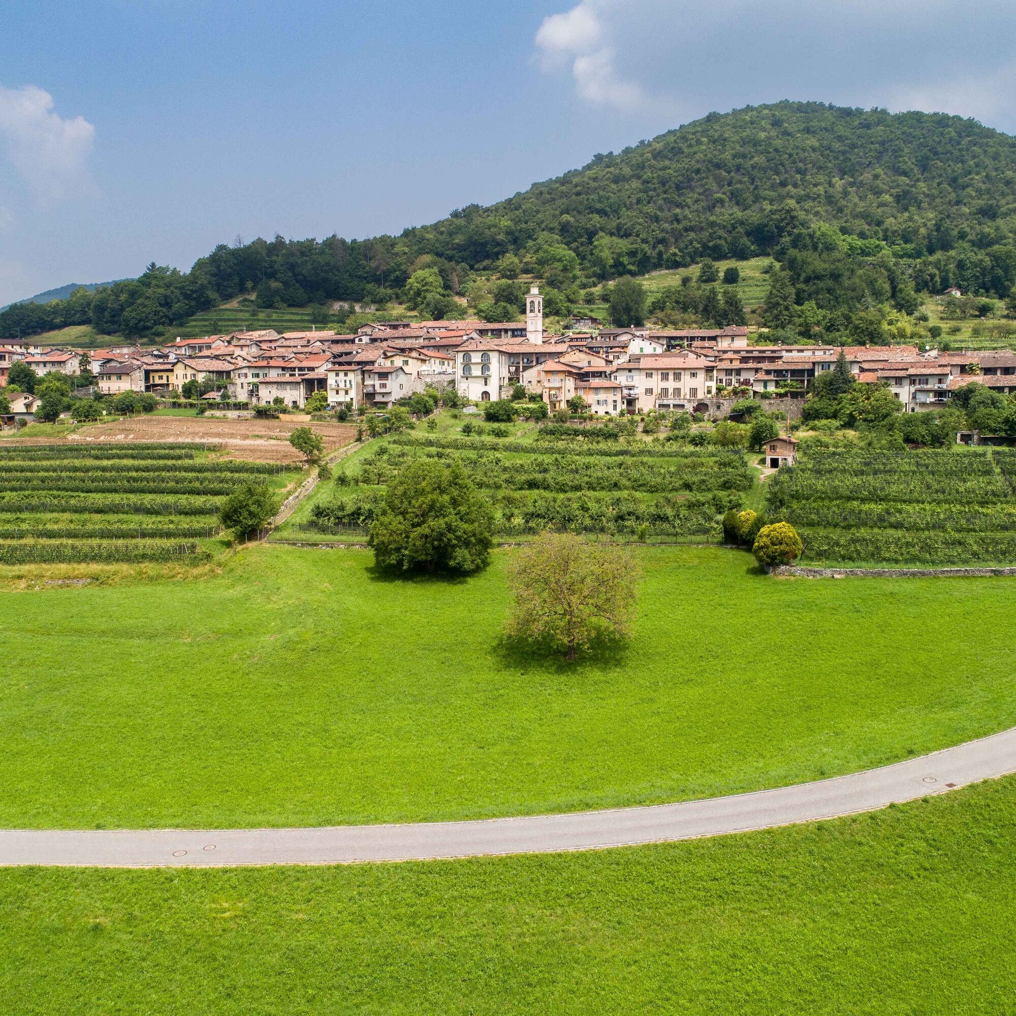
The route starts in the village centre of Meride and heads south, following the signs for the Tremona Archaeological Park. Leaving the village, continue along the paved road towards Grotto Fossati until...
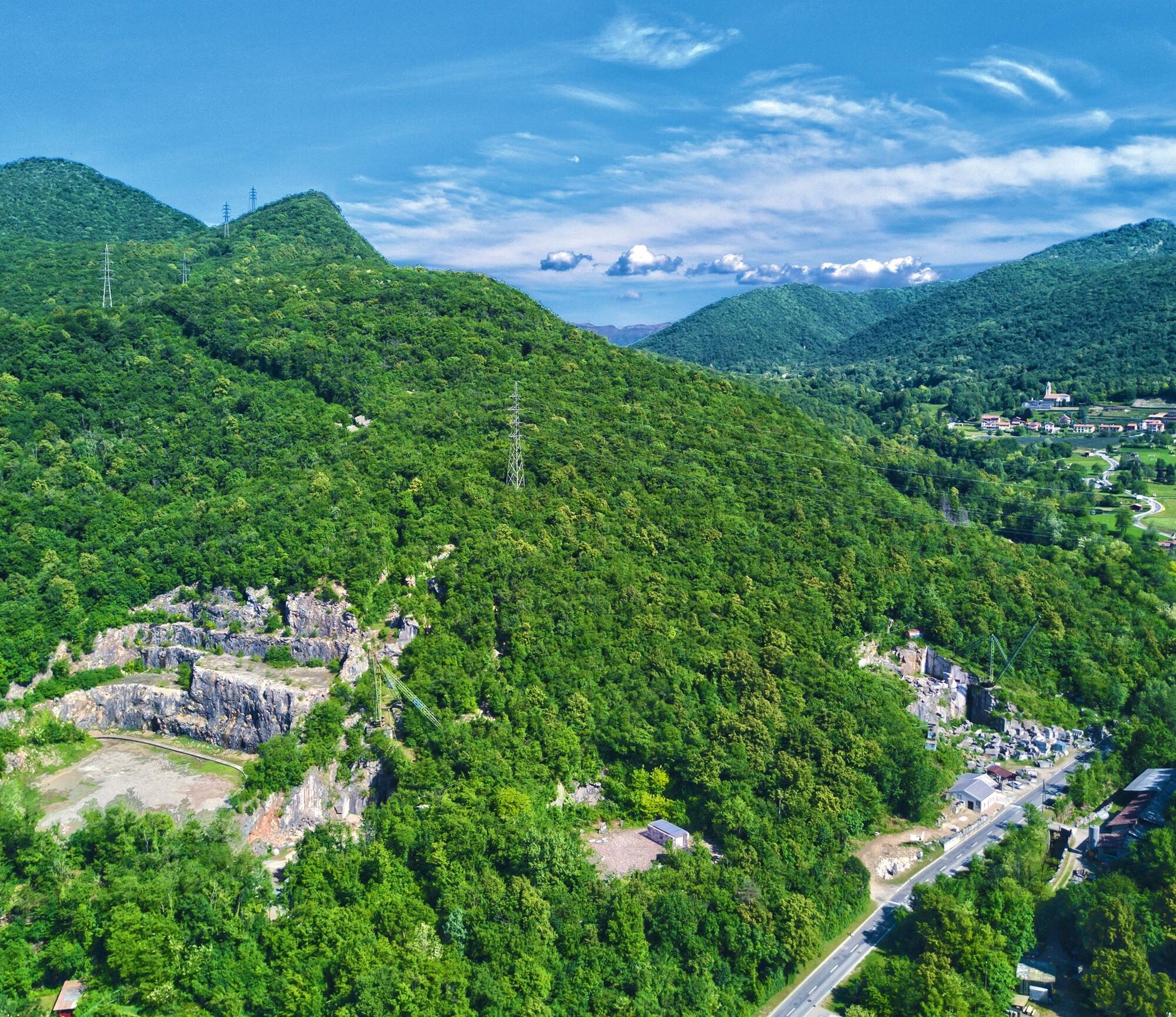
In the Fornace area, the route rejoins the official hiking trail. Before continuing, it is worth making a short detour to reach the largest and most impressive quarry in the area. Back on the route, take the uphill trail, which passes through several small extraction quarries before gradually entering the forest.
The ascent continues through the dense forest until reaching Costa di Prabello. From here, the trail continues along the slopes of Monte San Giorgio, passing Pre Sacco, a beautiful meadow occasionally used as pasture. After approximately 30 minutes, the route reaches Poncione d'Arzo, the highest point of the hike and a scenic viewpoint overlooking the Mendrisiotto, Lake Lugano and the surrounding mountains.
From Poncione d'Arzo, continue north along the trail that follows the border with Italy. The route then descends to Crocefisso, from where the signs towards Meride lead to Ca.Stella Farm. This section alternates between woodland passages and panoramic openings overlooking the surrounding landscape.
From Ca.Stella Farm, continue for approximately 20 minutes to reach Meride once again and return to the village centre, thus completing the circular route. Before finishing the hike, it is possible to make a short detour towards the valley floor to reach the Val Mara panoramic terrace. From here, you can observe the imposing rock face of the Meride Limestone from very close up, almost close enough to touch.


Hiking poles
This circular hiking route starts in Meride, which is easily accessible by PostBus and offers parking facilities.
T2
Along the route, there are numerous educational stops dedicated to discovering the natural, geological and scenic heritage of Monte San Giorgio. They offer an opportunity to enrich the hike with interesting facts and insights, making the route enjoyable for families with children as well.
Obľúbené výlety v okolí
-
4,5
Sentiero del Monte Generoso (SwitzerlandMobility 635)
strednáTuristika 9,22 km -
3,0
Bellavista - Monte Generoso
svetloTuristika 2,60 km -
5,0
Vetta Monte Generoso - Roncapiano - Muggio
strednáTuristika 6,01 km -
5,0
Vom Restaurant auf den Gipfel (Kulm)
svetloTuristika 0,58 km -
Scudellate - Erbonne - Alpe Orimento
strednáTuristika 3,58 km -
5,0
Morcote - San Salvatore
strednáTuristika 9,95 km -
5,0
Castagnola-Bré-Cureggia-Pregassona-Castagnola
svetloTuristika 14,1 km -
5,0
Monte Bisbino Path
strednáTuristika 9,13 km -
Variante Monte Generoso - Sentiero Gianola
ťažkéTuristika 5,68 km -
S.Salvatore
svetloTuristika 15,0 km
Turistika a stopovanie


Nenechajte si ujsť ponuky a inšpiráciu na ďalšiu dovolenku
Vaša e-mailová adresa bol pridaný do poštového zoznamu.





