







Saale - water hiking on the Saale from Ziegenrück to Saalthal-Alter - stage 4

Úroveň náročnosti: 2
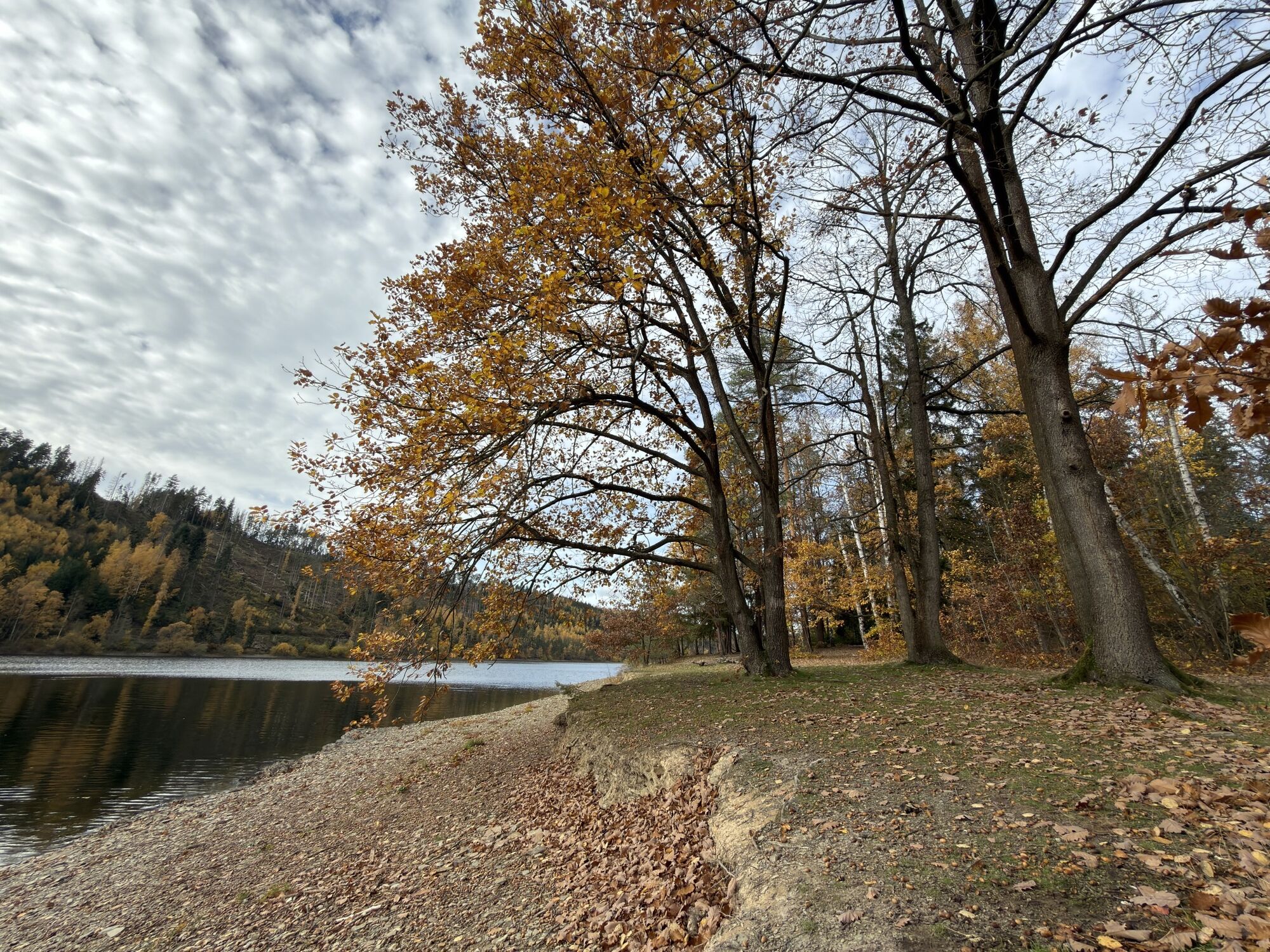
Experience over 20 km of the Hohenwarte Reservoir, which, due to its many bends and steep forested slopes, reminds many visitors of Scandinavia and has therefore earned the nickname "Little Norway".
After...
Experience over 20 km of the Hohenwarte Reservoir, which, due to its many bends and steep forested slopes, reminds many visitors of Scandinavia and has therefore earned the nickname "Little Norway".
After the entry point at the Ludwigshütter Weir near Ziegenrück, you can enjoy carefree paddling fun. After about 5 km, the steep cliffs of the Devil's Pulpit greet you on the right, and after another 2.5 km, there are opportunities to stop for refreshments at the campsite and the Linkenmühle inn.
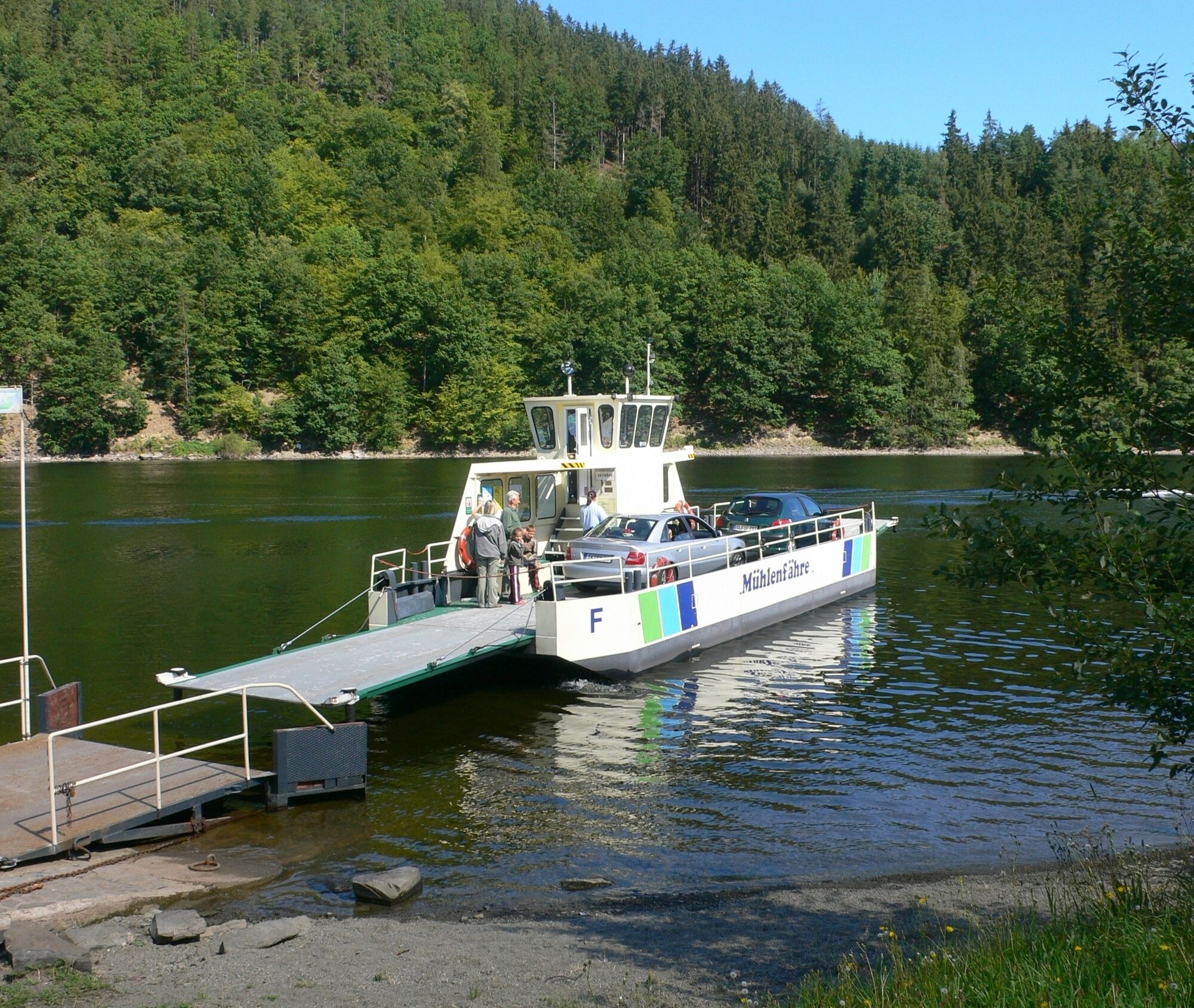
Here, the "Mill Ferry"—Thuringia's only car ferry from Easter to October (mobile: 0173/ 369 80 30)—crosses. From here, expect busy motorboat traffic.
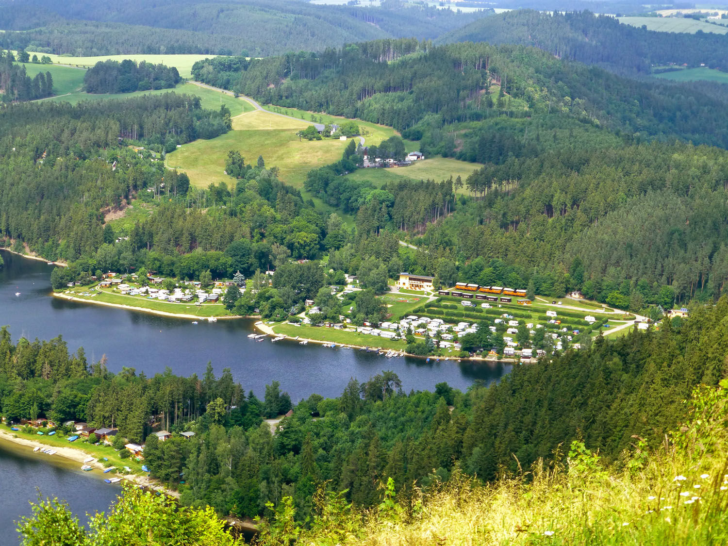
After another 2.5 km, you can rest at the Neumannshof campsite (right). Shortly thereafter, you reach the Droschkau peninsula (campsite, left).
The Saale winds in a large bend around the "Dragon's Tail," a long, narrow peninsula. It is then about 1.5 km to the Hopfenmühle campsite (left).
At the Hermannsfelsen, the bays of Portenschmiede (campsite, right) open on the right, also offering overnight stays and dining options. In the next 2 km, you will see the former Neidenberga castle on the left, now a youth hostel. Please make sure to paddle on the right side here, as waterskiers gather in this area.
After another 2 km, the "Am Alter" campsite and the "Saalestrand" hotel on the right reservoir shore invite you to refresh and stay overnight.
From here, a shuttle service will take you, upon telephone reservation, to the next entry point in Eichicht or, in case of low water levels, directly to the Feengrotten town of Saalfeld.
Route course:
Ludwigshütter Weir (public entry and exit point) Linkenmühle (public entry and exit point) Zoppte Bay (public entry and exit point)The route is recommended to be paddled at a water level of

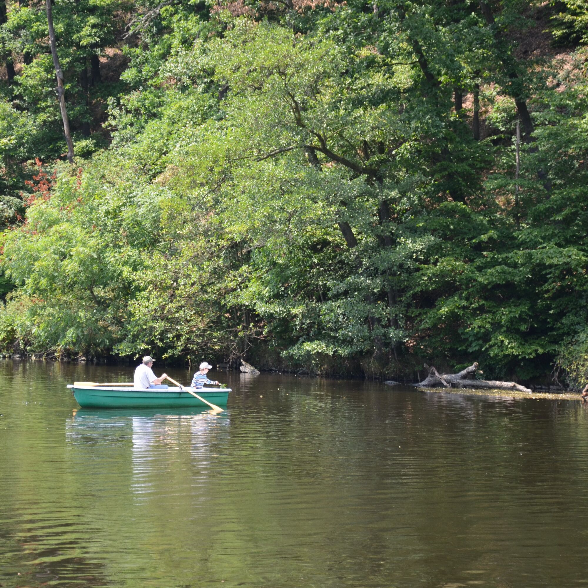

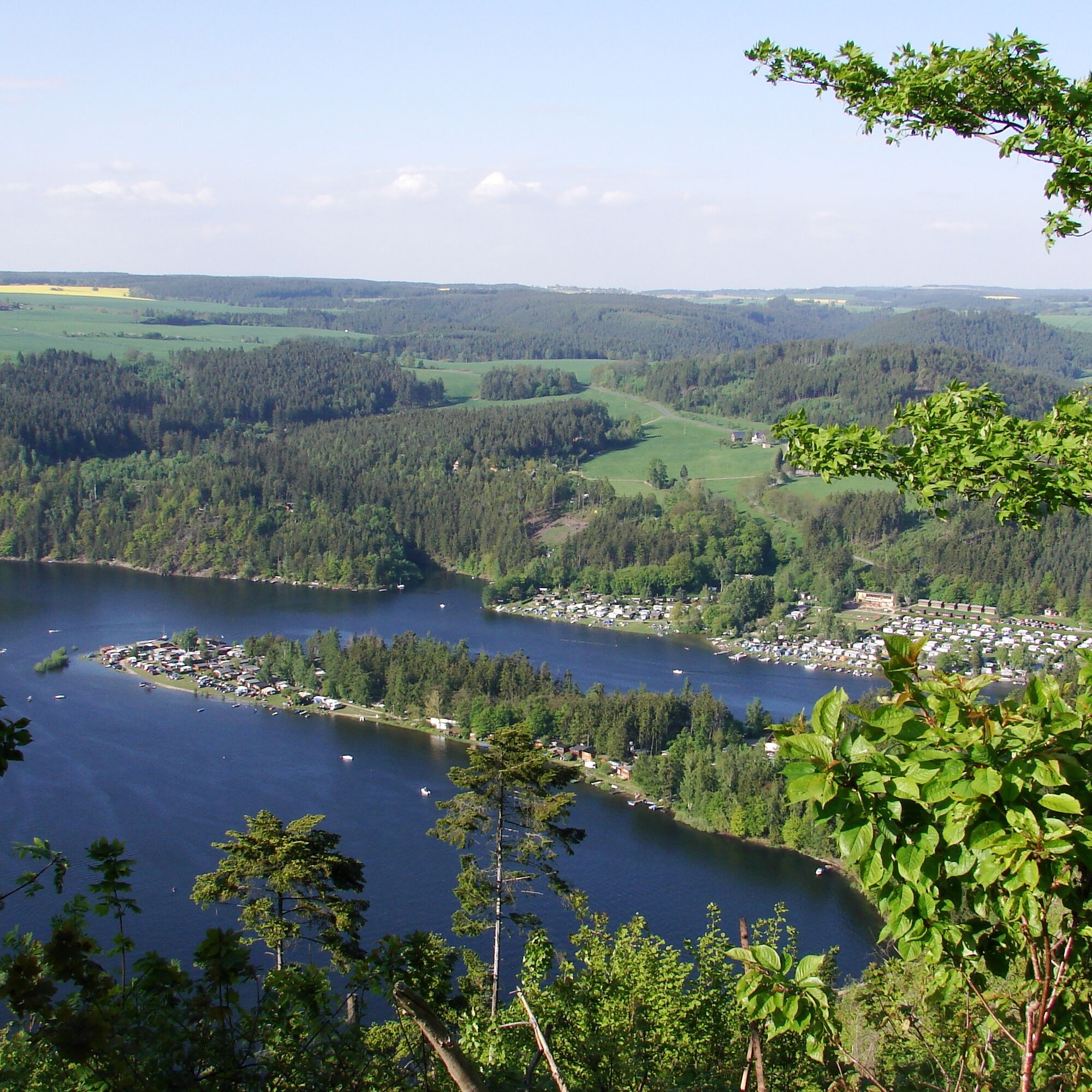

After the entry point at Ludwigshütter Weir near Ziegenrück, you can enjoy carefree paddling fun. After about 5 km, the steep cliffs of the Devil's Pulpit greet you on the right, and after another 2.5 km, you will find refreshment options at Linkenmühle.
Here, the only car ferry in Thuringia also crosses the Saale, and from this point, busy motorboat traffic is to be expected. Further along the route, the Saale winds around the Droschkau peninsula and the "Dragon's Tail," and you will find various rest and refreshment options at the campsites.
At the Hermannsfelsen, the bays of Portenschmiede open to the right, also offering overnight stays and dining options. In the next 2 km, you will see the former Neidenberga castle on the left, now a youth hostel. Please be sure to paddle on the right side here, as waterskiers gather in this area. After another 2 km, inns and campsites on the right reservoir shore invite you to refresh and stay overnight.
From here, a shuttle service will take you, upon telephone reservation, to the next entry point in Eichicht or, in case of low water levels, directly to Saalfeld.
Áno
2
At the Linkenmühle campsite, a 6 m high climbing wall awaits you. Climbing here is possible by appointment under expert supervision.
Obľúbené výlety v okolí
-
4,9
Circular hiking trail - H5 "The Water Route" - Thuringian Forest
strednáTuristika 6,58 km -
Circular route - Otter Bay and Devil's Pulpit - Ziegenrück
strednáTuristika 16,8 km -
5,0
Circular hiking trail for children - "1000-Ponds-Circular Route"
strednáTuristika 8,25 km -
4,7
Circular hiking route - H3 "The Bird's Eye View" - Thuringian Forest
strednáTuristika 8,78 km -
4,5
Von Ziegenrück zur Fernsicht
strednáTuristika 5,50 km -
5,0
Hohenwarte Reservoir Way - Section 2 - Camping Wilhelmsdorf Portenschmiede → Ziegenrück
ťažkéTuristika 18,2 km -
4,0
Circular route - "Wichtelweg" - Wilhelmsdorf
svetloTematická trasa 2 km -
5,0
Urwaldpfad Leutenberg - Thuringian Urwaldpfade
strednáTuristika 6,82 km -
Rund um Schloss Burgk
svetloTuristika 7,04 km -
5,0
Von Dreba zum Plothener Hausteich
svetloTuristika 7,68 km
Turistika a stopovanie


Nenechajte si ujsť ponuky a inšpiráciu na ďalšiu dovolenku
Vaša e-mailová adresa bol pridaný do poštového zoznamu.





