


"Thuringian Forest Nature Park Route" - Stage 2. - From Friedrichroda to Oberhof
The second stage of the Thuringian Forest Nature Park Route leads from Friedrichroda to Oberhof and promises a picturesque journey through the Green Heart of Germany. Starting in Friedrichroda, a charming...
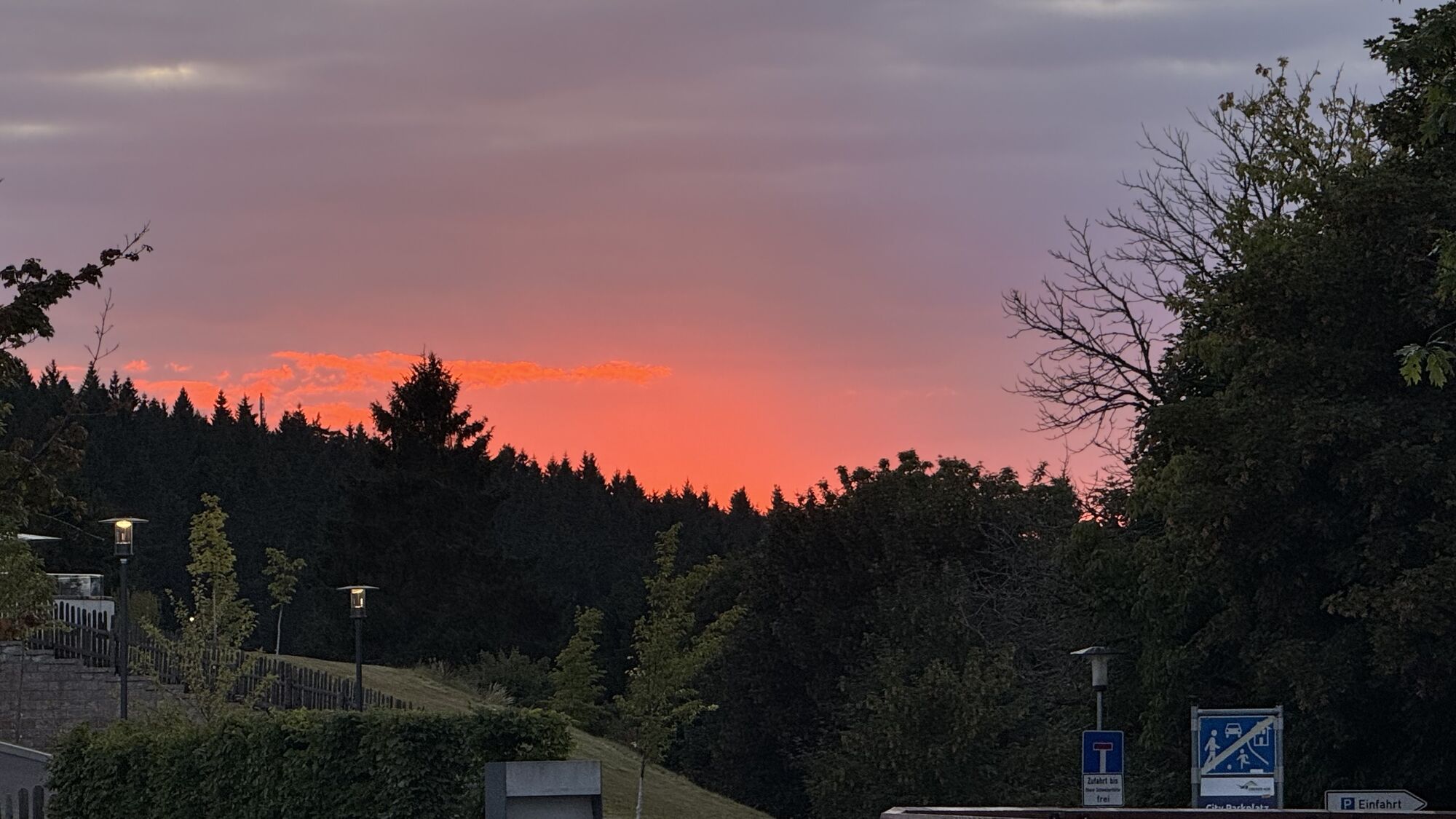
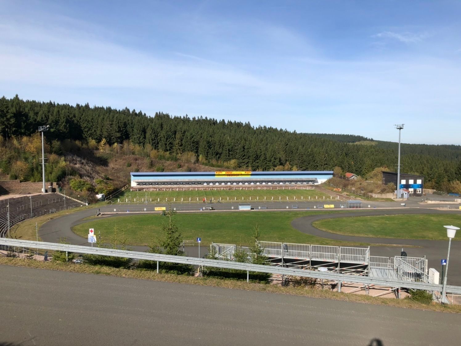
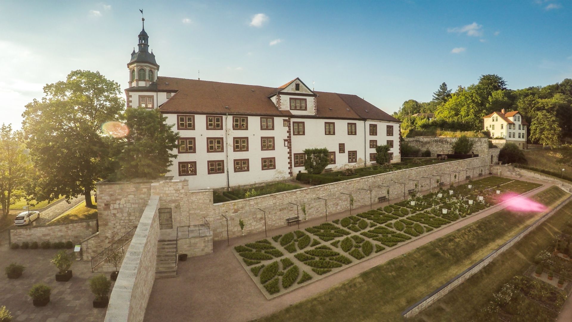
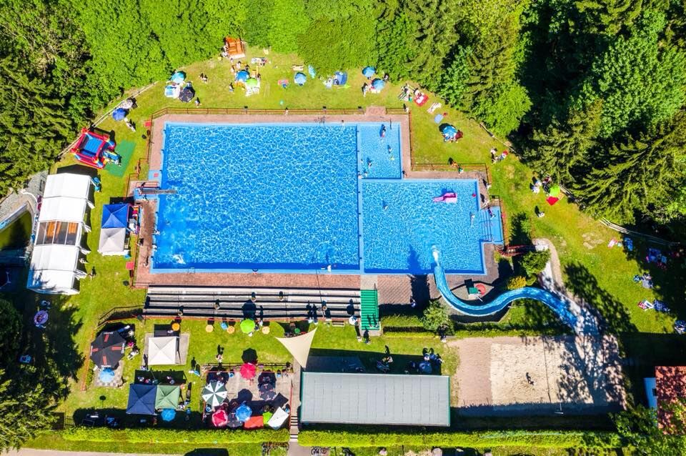
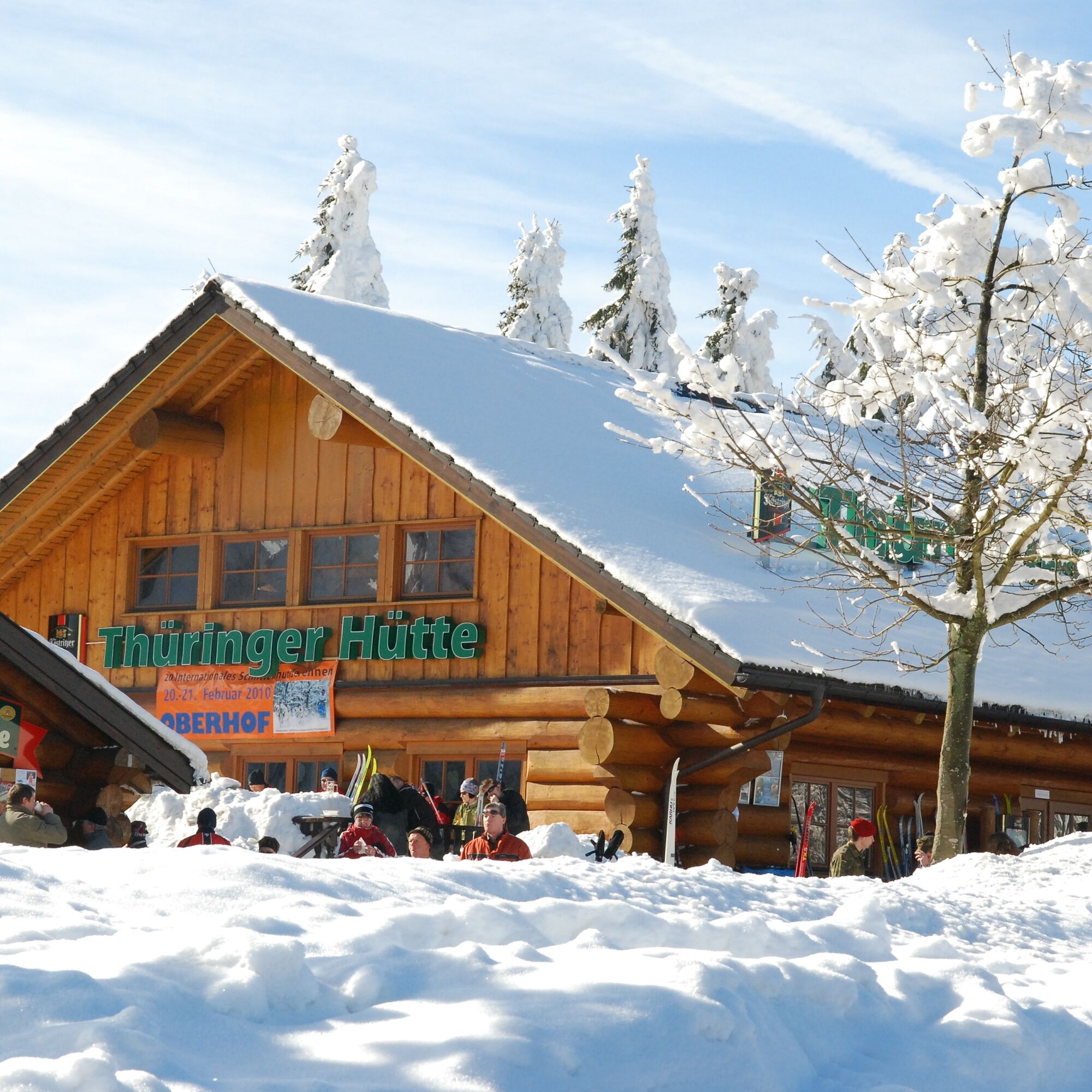
The second stage of the Thuringian Forest Nature Park Route leads from Friedrichroda to Oberhof and promises a picturesque journey through the Green Heart of Germany. Starting in Friedrichroda, a charming town known for its spa tradition, the route winds through the green thickets of the Thuringian Forest. The path passes by Georgenthal, an idyllic place inviting to linger. It continues to Tambach-Dietharz, known for its impressive reservoirs and picturesque landscape. Floh-Seligenthal is the next stop, offering a mix of cultural sights and natural beauty. In Schmalkalden, travelers can delve into history and admire the half-timbered houses before reaching Steinbach-Hallenberg, where traditional crafts meet modern ski sport traditions. The stage ends in Oberhof, a well-known winter sports center that offers activities all year round. This route is not just a journey through nature but also a discovery of Thuringia’s cultural diversity.


Áno
Mandatory equipment for winter
Winter tires: legally required in Germany under winter road conditions (M+S or snowflake symbol).
Route notes & special features
The route leads over the Rennsteig and through altitudes above 900 m.
Weather and road conditions can change rapidly – especially at transitions between valleys and highlands.
The route is not continuously cleared like motorways, so cautious driving is important.
The Nature Park Route runs on public roads. Please especially be careful of other road users on the winding sections. The route frequently crosses popular cycling and hiking trails.
Tourist information along the route:
Tourist Information Friedrichroda Tourist Information Georgenthal Tourist Information Tambach Dietharz Tourist Information Floh-Seligenthal Tourist Information Schmalkalden Tourist Information Steinbach-Hallenberg Tourist Information OberhofNumerous hiking car parks offer good access points to the hiking trails of the Thuringian Forest Nature Park along the way.
Nature Park Gate Spittergrund in Tambach-Dietharz: Nature Park Trail "Willi Matthias" - Tambach-Dietharz - Thuringian Forest Nature Park Gate Buchborn in Floh-Seligenthal Nature Park Trail Höhnberg Loop - Floh-SeligenthalWebové kamery z prehliadky
-
Fallbachhang Bergstation
-
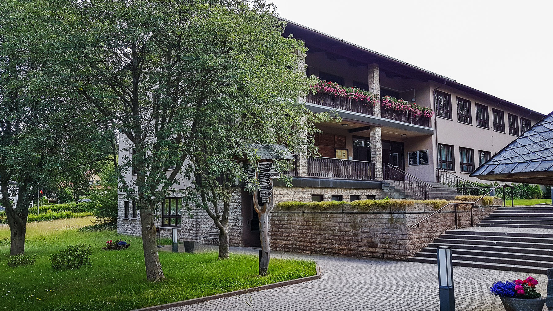
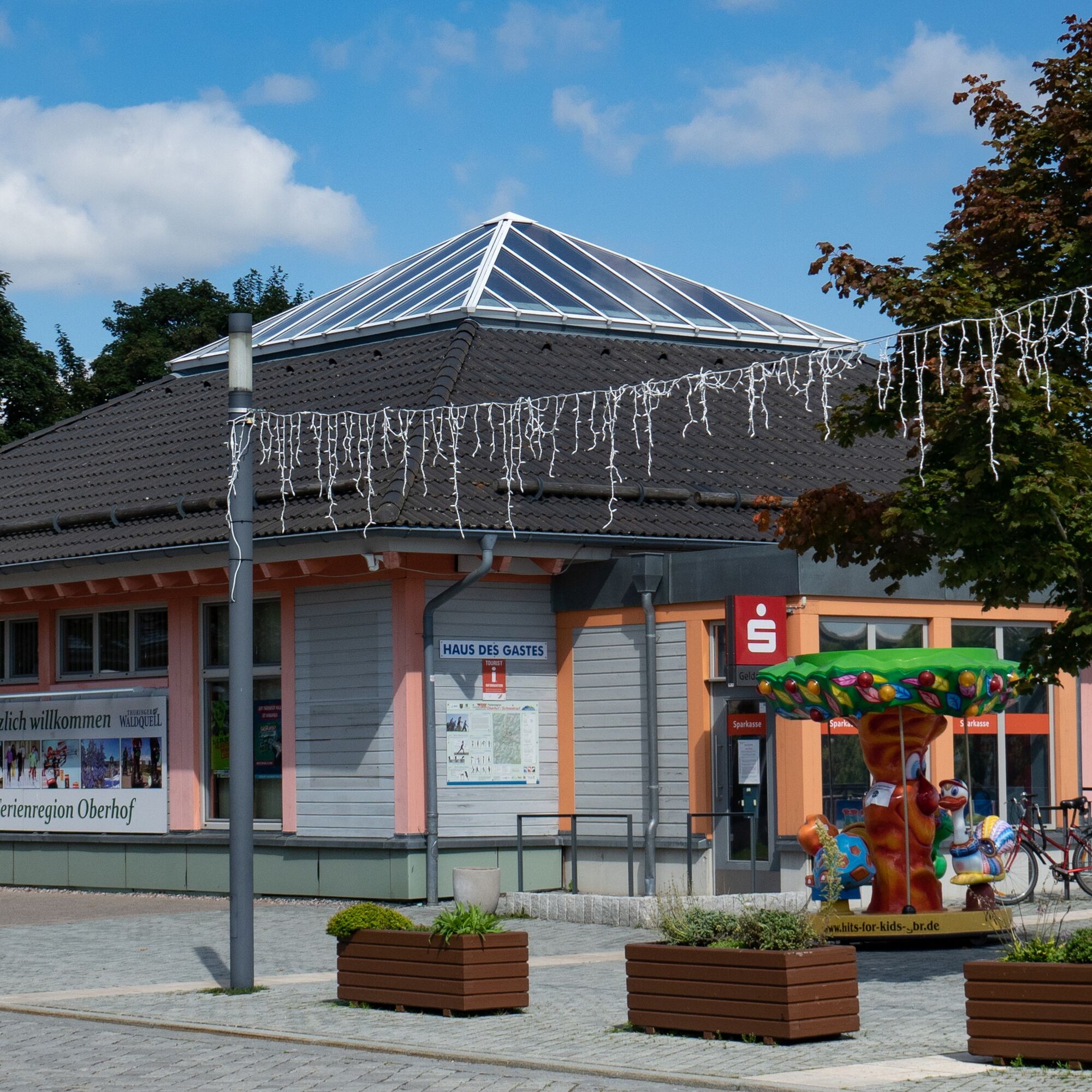
Haus des Gastes in Oberhof
-
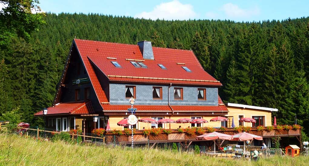
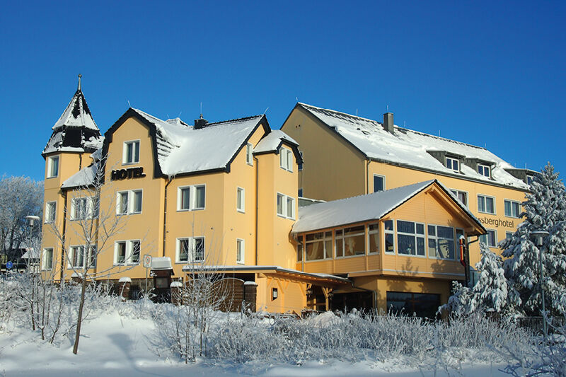
Berggasthof "Spießberghaus"
-
Rennsteiggarten Oberhof
-
Berggasthof "Spießberghaus"
-
Pension Schmiechen Oberhof
-
Fallbachhang Talstation
-
Steinbach-Hallenberg / Am Knüllfeld
-
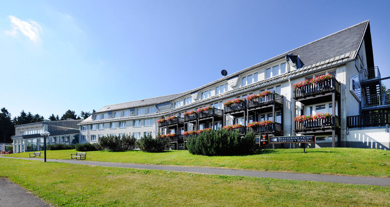
Friedrichroda - Berghotel
-
Rennsteig - Loipe am Stein 16
-
Sportgymnasium Oberhof
-
Golfkletterpark Oberhof
-
Schmalkalden
-
Schmalkalden
-
Schmalkalden
-
Schmalkalden
-
Zella-Mehlis - Rathaus
Obľúbené výlety v okolí
-
4,2
Rund um die Ohratalsperre
svetloTuristika 14,5 km -
4,4
Circular hike "Old Tambach Dam", Tambach-D., Thuringian Forest
strednáTuristika 8,33 km -
4,5
Summit and panoramic route - Route 1 - Bad Tabarz
strednáTuristika 10,9 km -
3,8
Wanderung zum Spitterfall
strednáTuristika 14,6 km -
4,8
Circular hike - Schmalwasser reservoir - Tambach-Dietharz - Thuringian Forest
strednáTuristika 13,8 km -
4,0
Circular hiking route "Oberschönauer Felsenwanderung" - Steinbach-Hallenberg - Thuringian Forest
ťažkéTuristika 12,0 km -
Tabarzer Vulkansteig
strednáTuristika 9,91 km -
4,0
Zu den Schanzen im Kanzlersgrund
strednáTuristika 9,58 km -
4,5
Hike over the Rennsteig & the Schneekopf to the Schmücke
ťažkéTuristika 20,9 km -
3,2
Von Friedrichroda zum großen Inselsberg
strednáTuristika 22,4 km

Turistika a stopovanie


Nenechajte si ujsť ponuky a inšpiráciu na ďalšiu dovolenku
Vaša e-mailová adresa bol pridaný do poštového zoznamu.