






MTB Saalfeld 03: Circular route Uhlstädter Heide
Úroveň náročnosti: S2
⚠️ Riding the route and the trail variant counterclockwise.
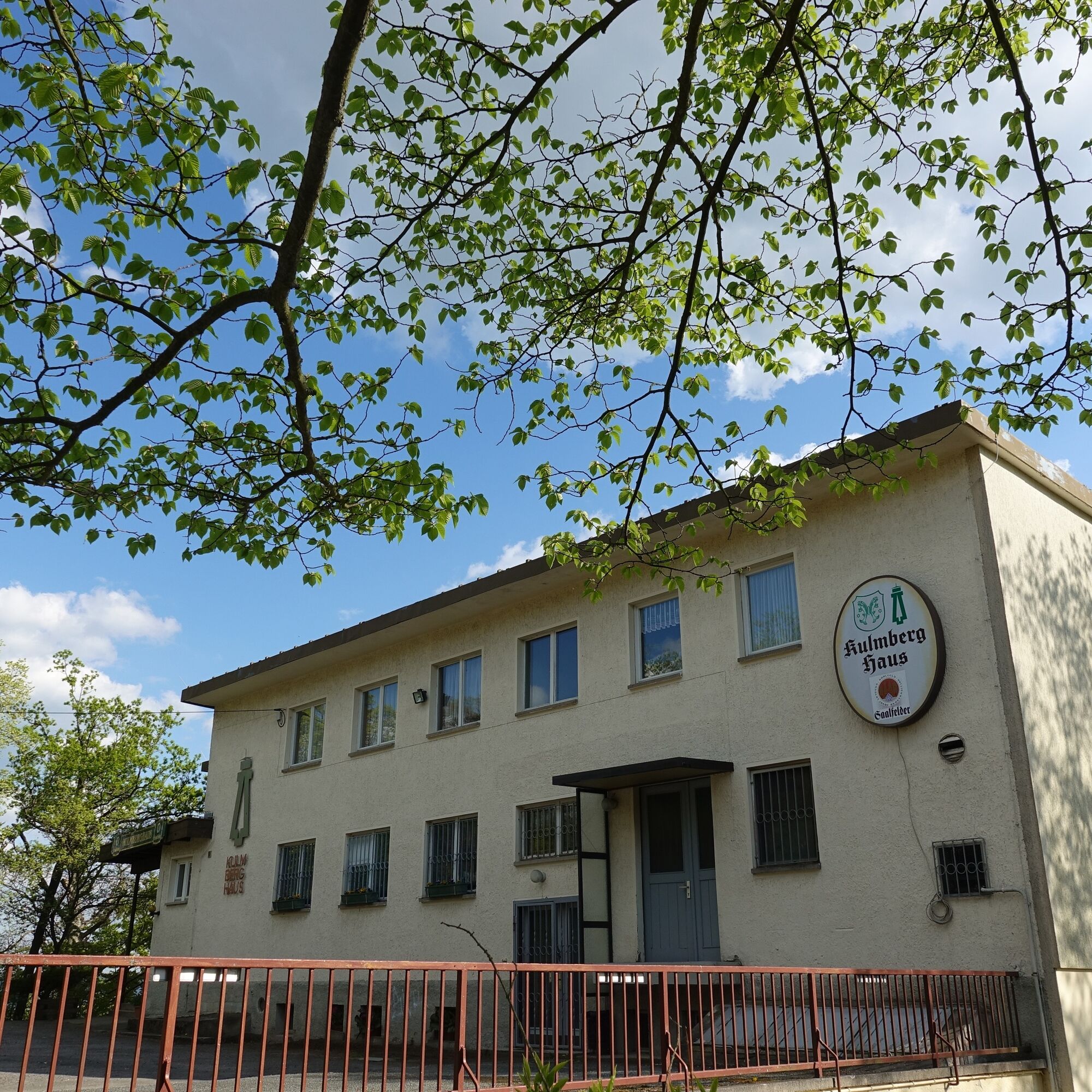
The route options at the Kulm are very varied, whose striking white Kulmberghaus is an eye-catcher in the Saale valley. This is due to the dense...
â ï¸ Riding the route and the trail variant counterclockwise.
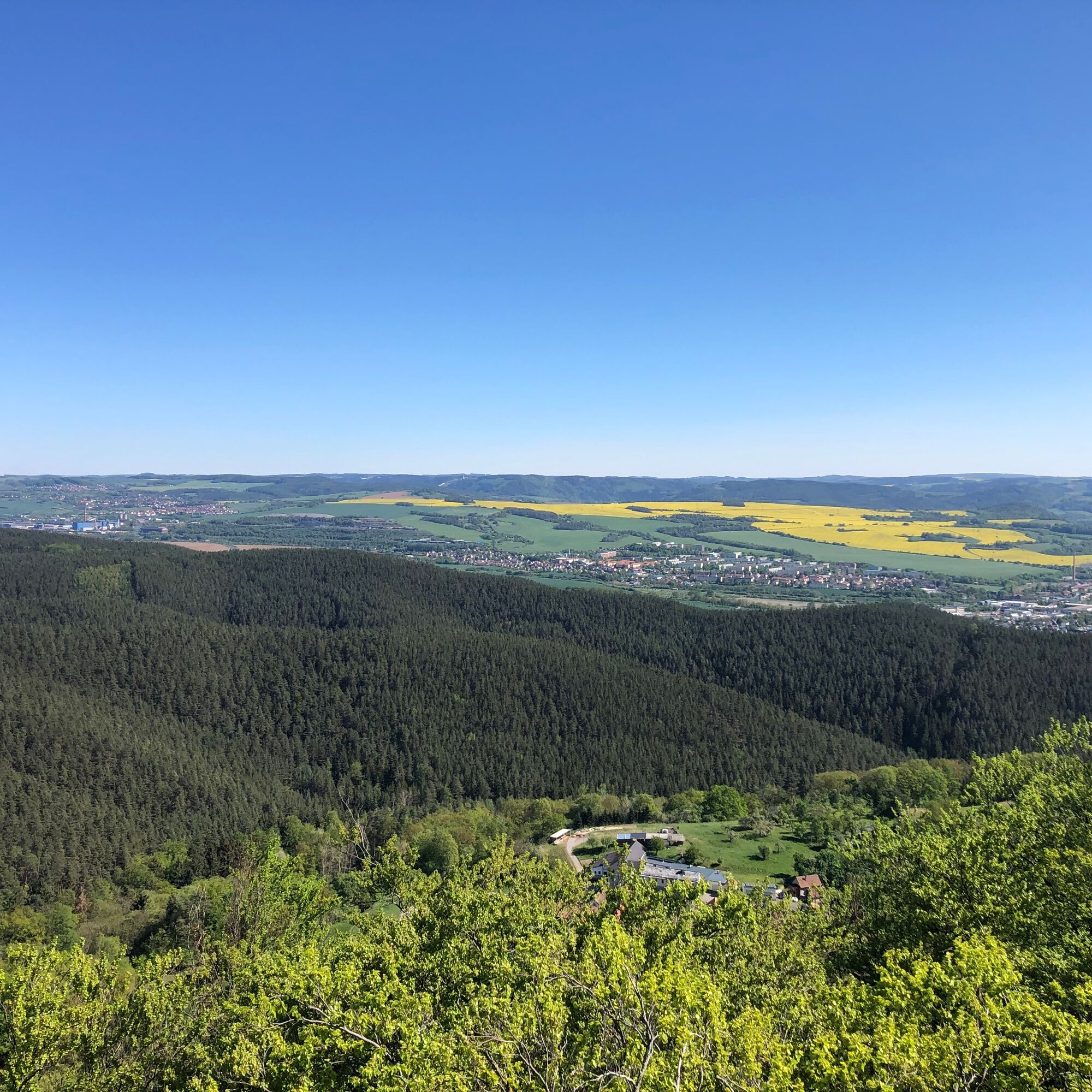
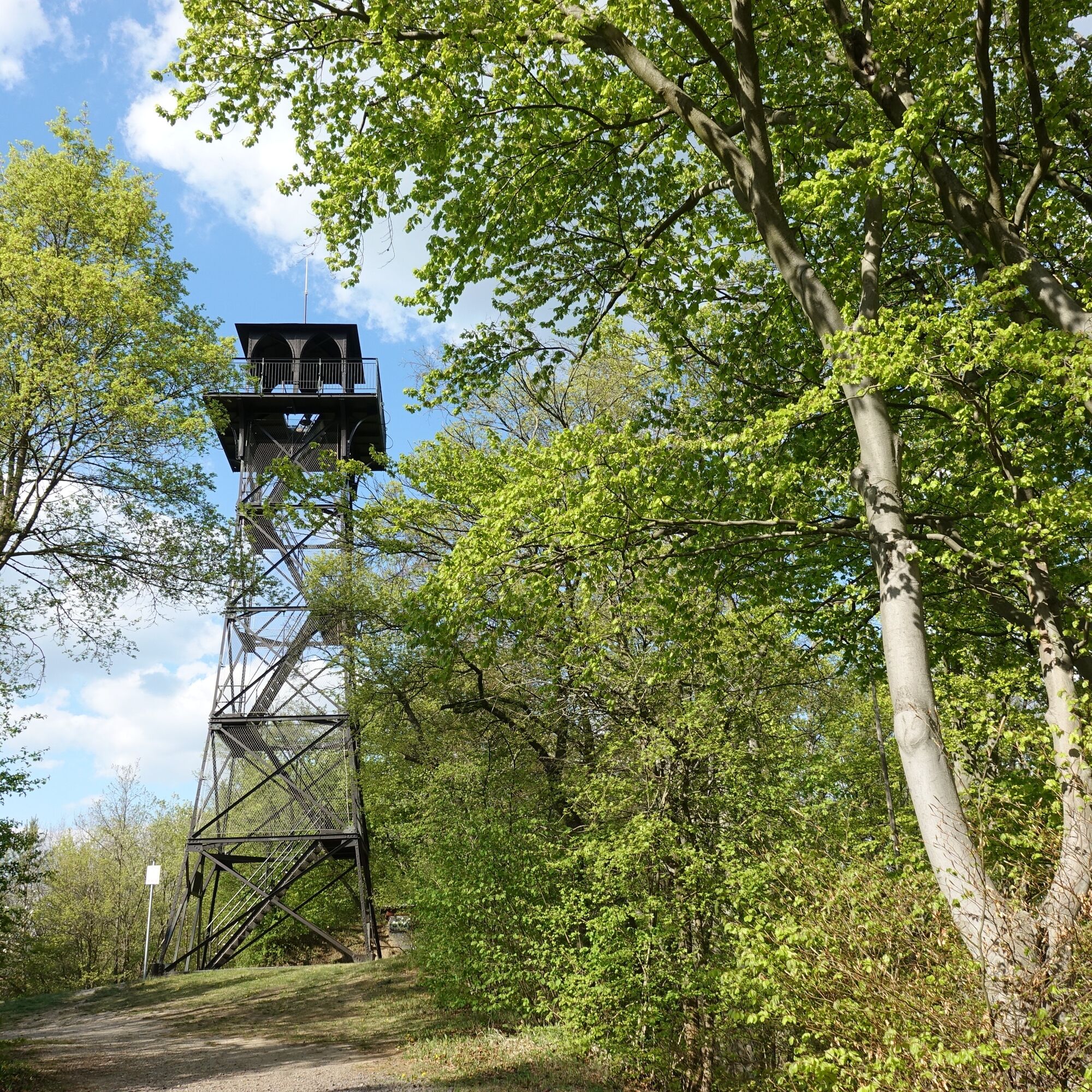
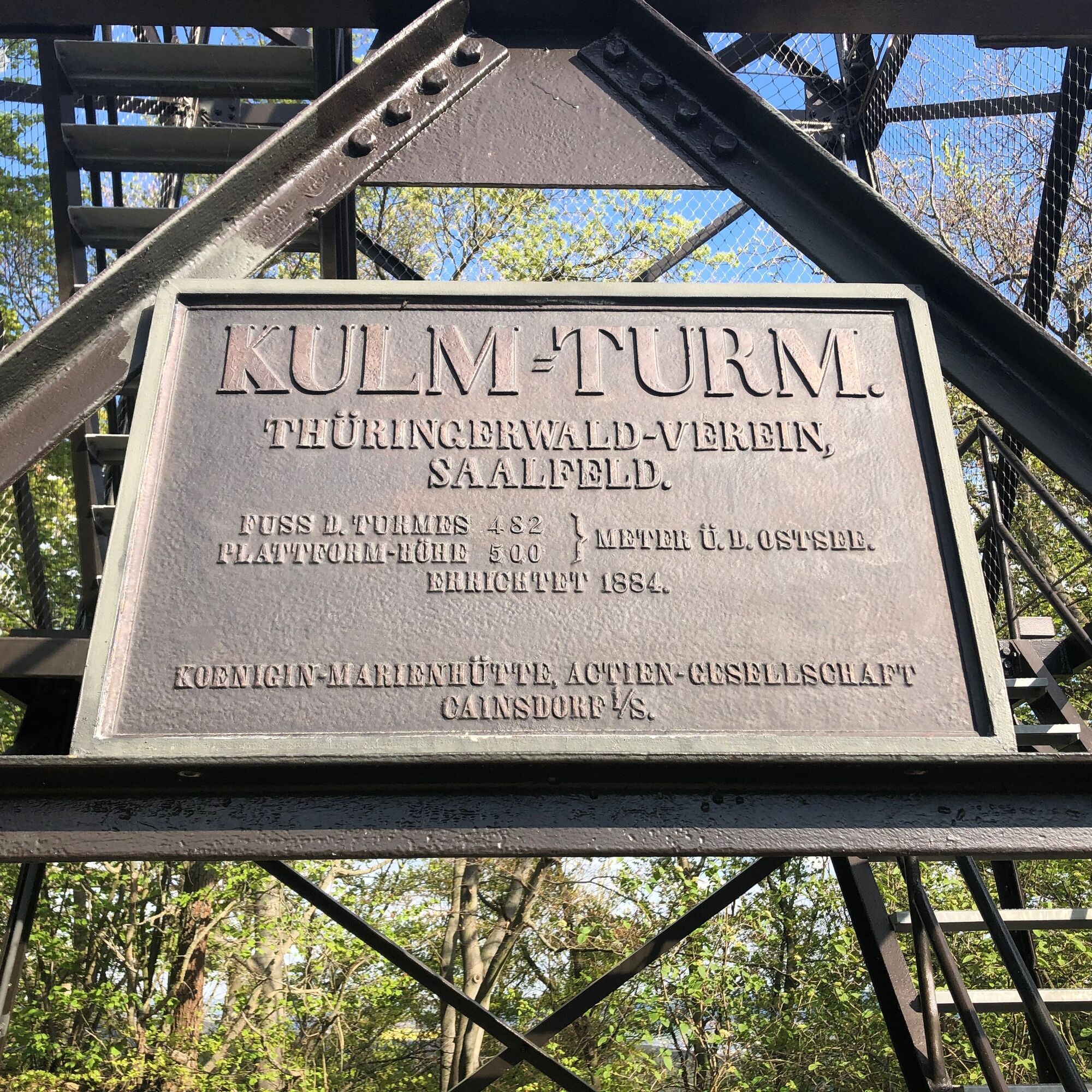
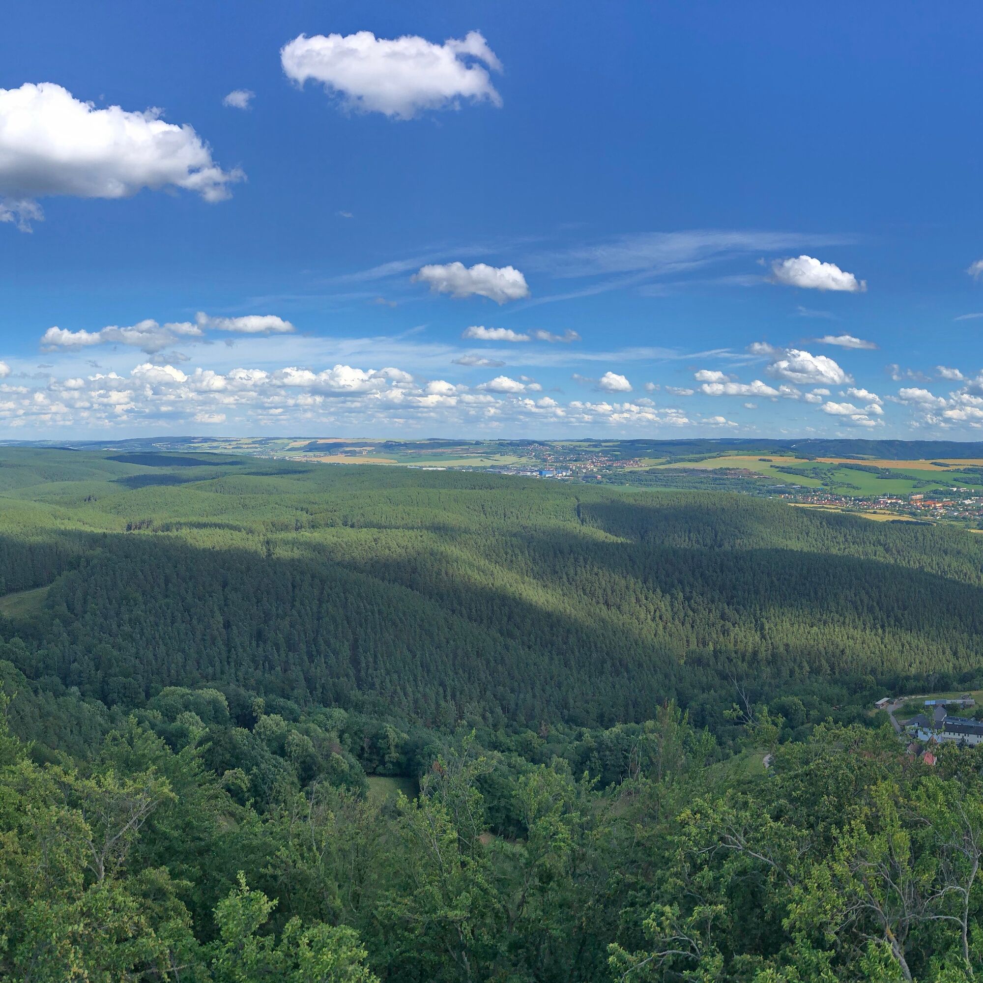
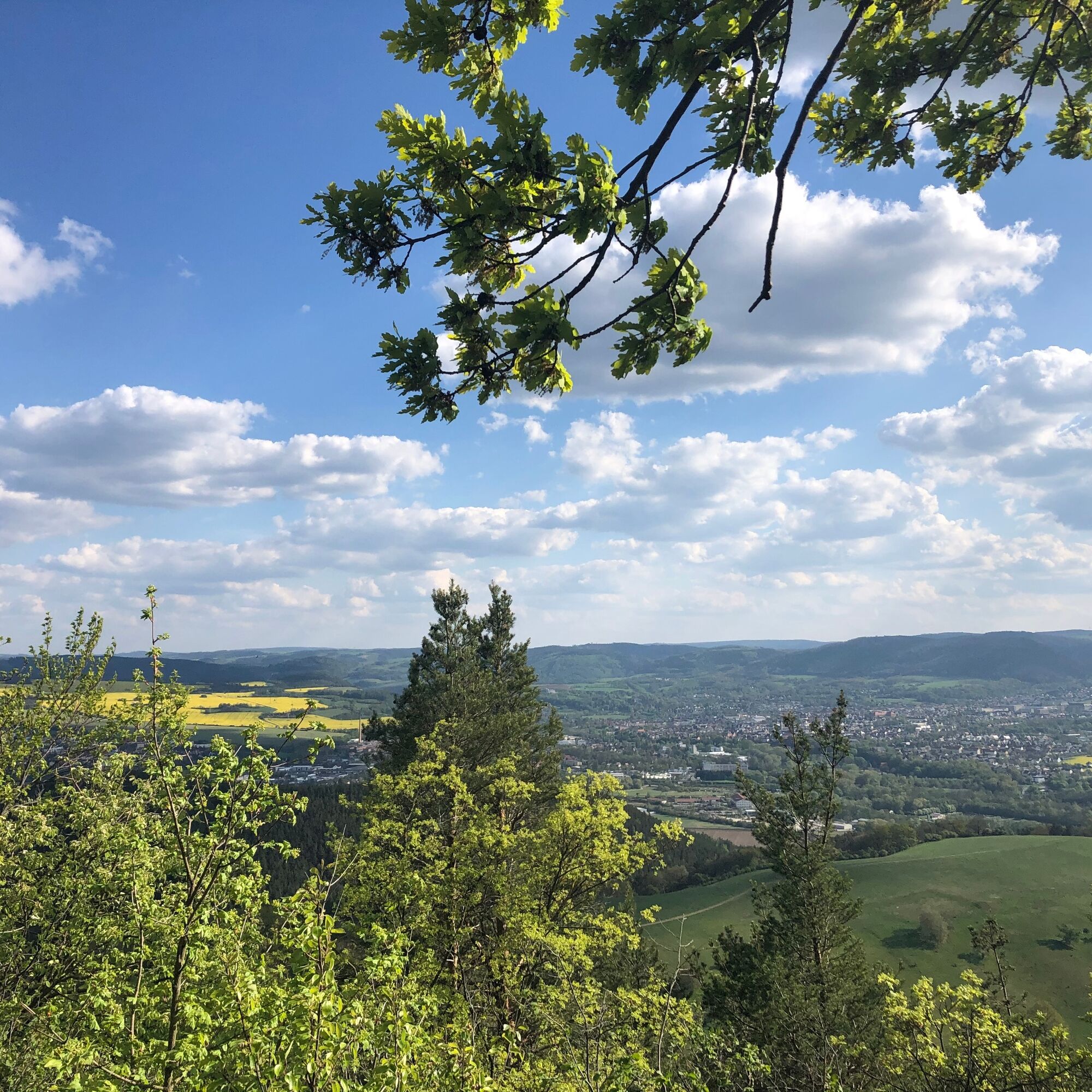
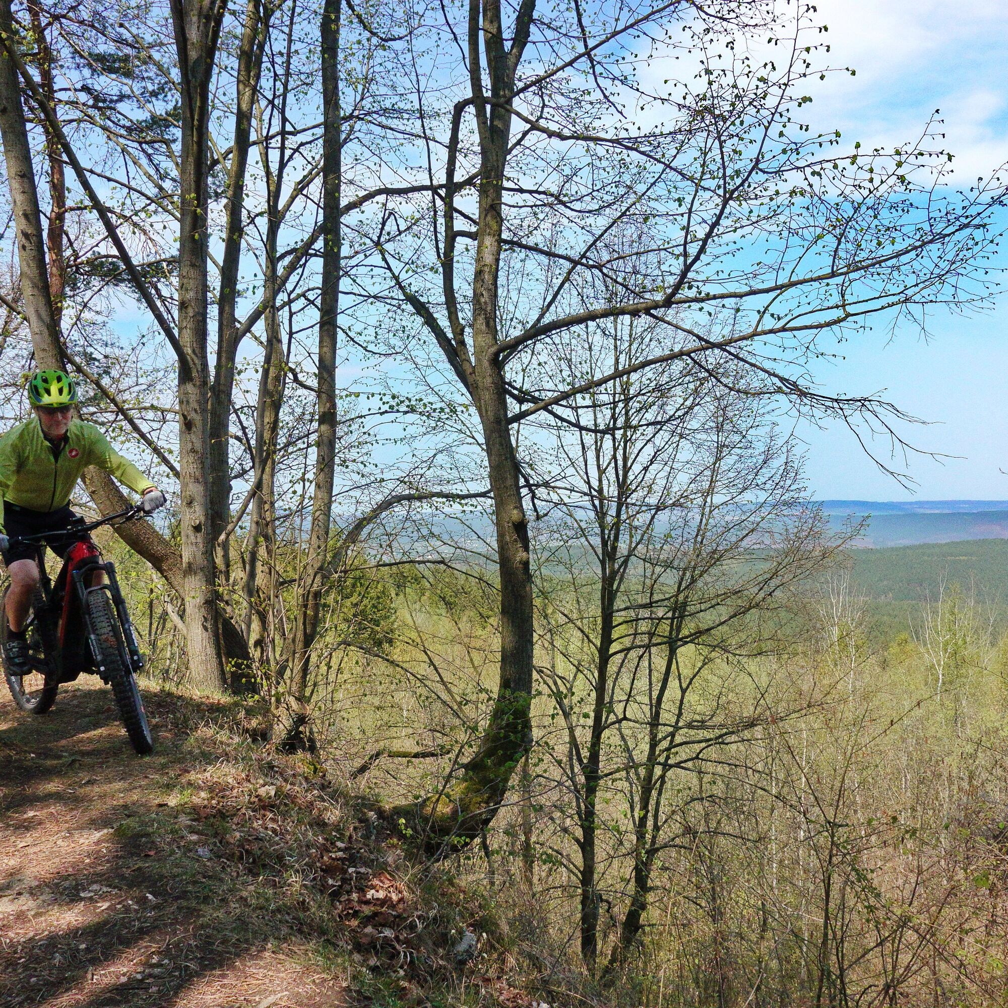
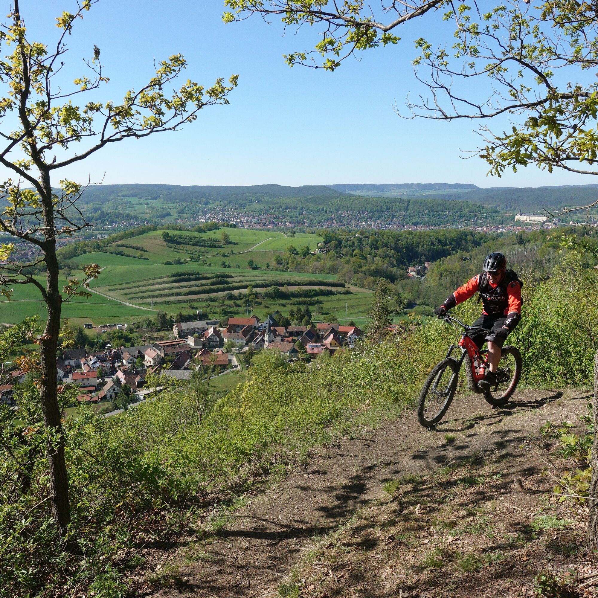
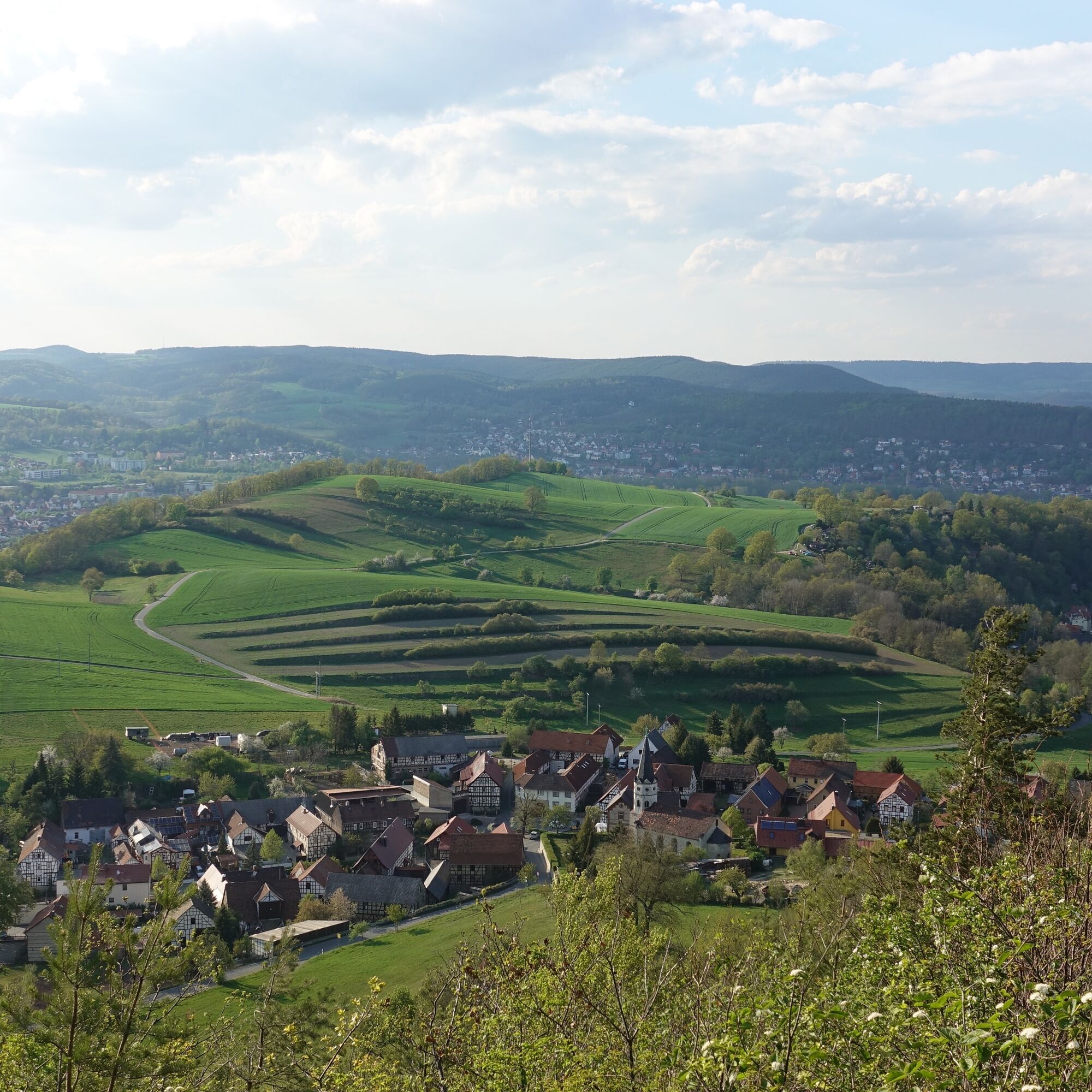
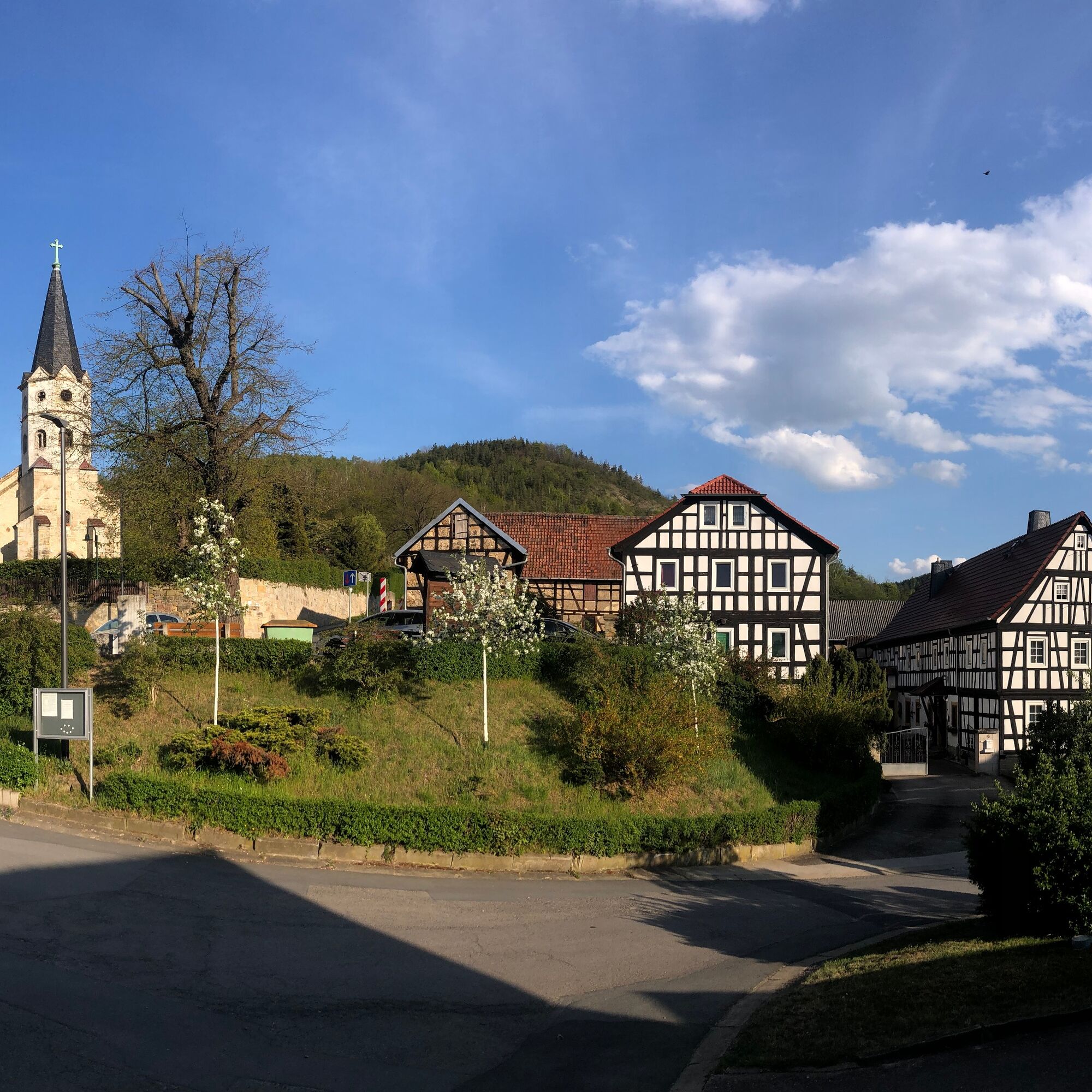
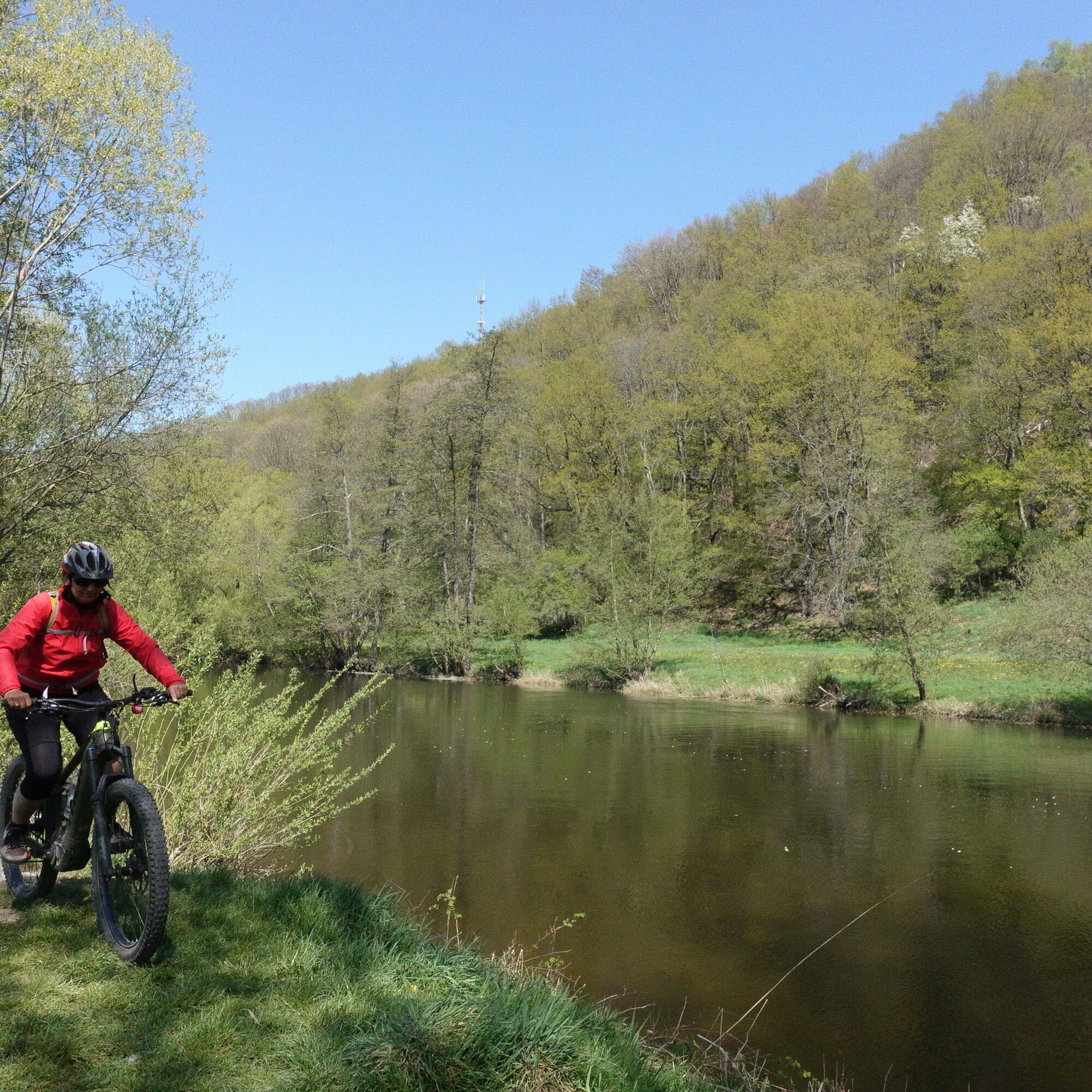
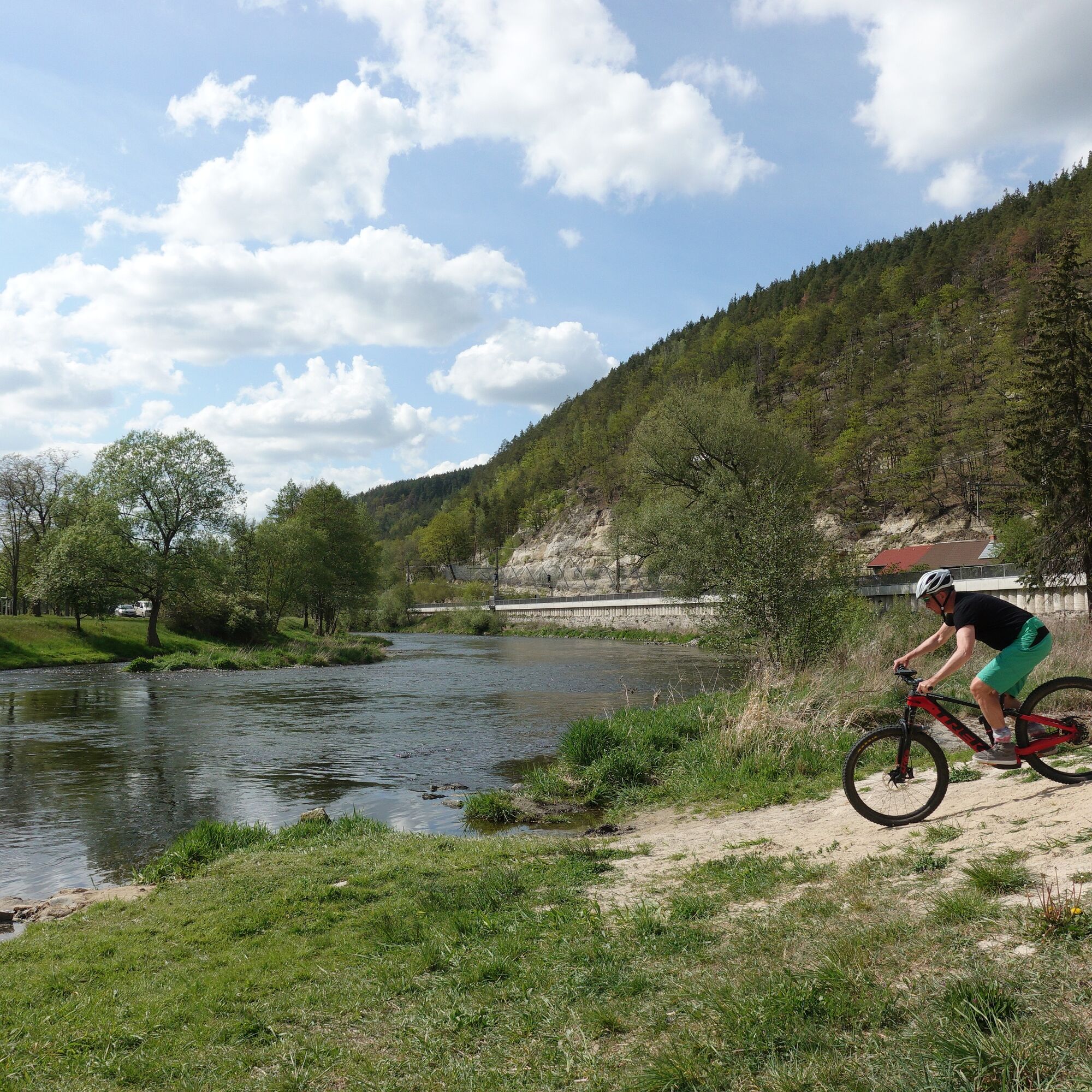
The route options at the Kulm are very varied, whose striking white Kulmberghaus is an eye-catcher in the Saale valley. This is due to the dense network of paths, which are especially frequented by hikers on weekends. So double caution is advised, or it is better to ride the route during the week. The approach through the Uhlstädter Heide is a bit longer and you are usually alone there. Only at the Kulmturm does it become somewhat busier again. The ascent is worth it because of the 360-degree panorama. The first trail loop on the Kulm then leads over the Fernsicht Kame down to Oberpreilipp. Those who already know the further route via Schillershöhe can shorten here and go directly via Unterpreilipp to the Saale. Either way, it goes back on the Saale cycle path to Remschütz. Here you have to decide whether to attach the second trail variant today or on another day, for example as a small evening round. Otherwise, it goes once again up via Dorfkulm on a decent asphalt ramp. This is never heavily used by cars. The second trail begins as a hairpin trail and then leads directly through the Melktal down to the Saale cycle path. From there it is only a few hundred meters to Remschütz. Don't forget, under the tracks you reach the "Saalestrand" of Remschütz directly.

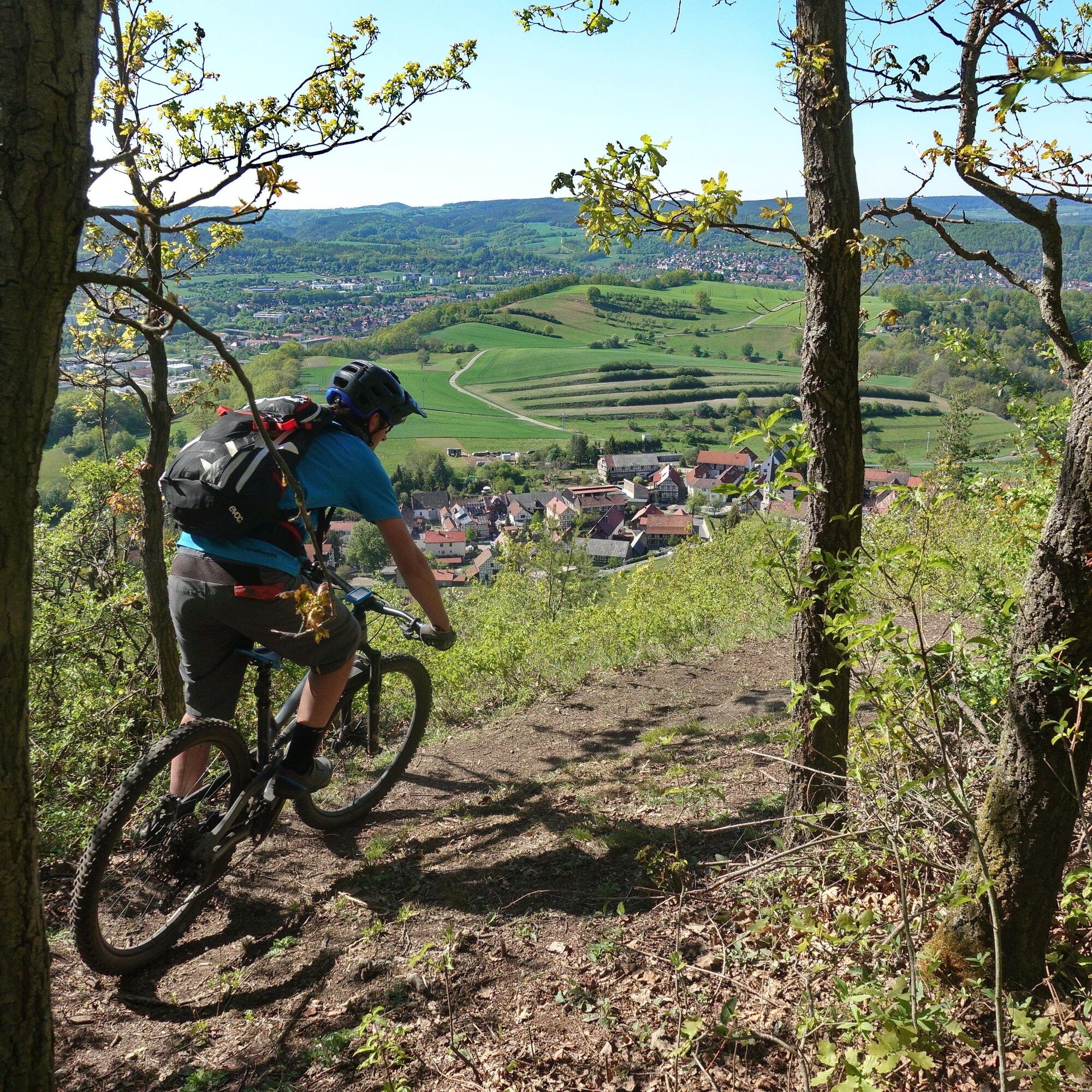
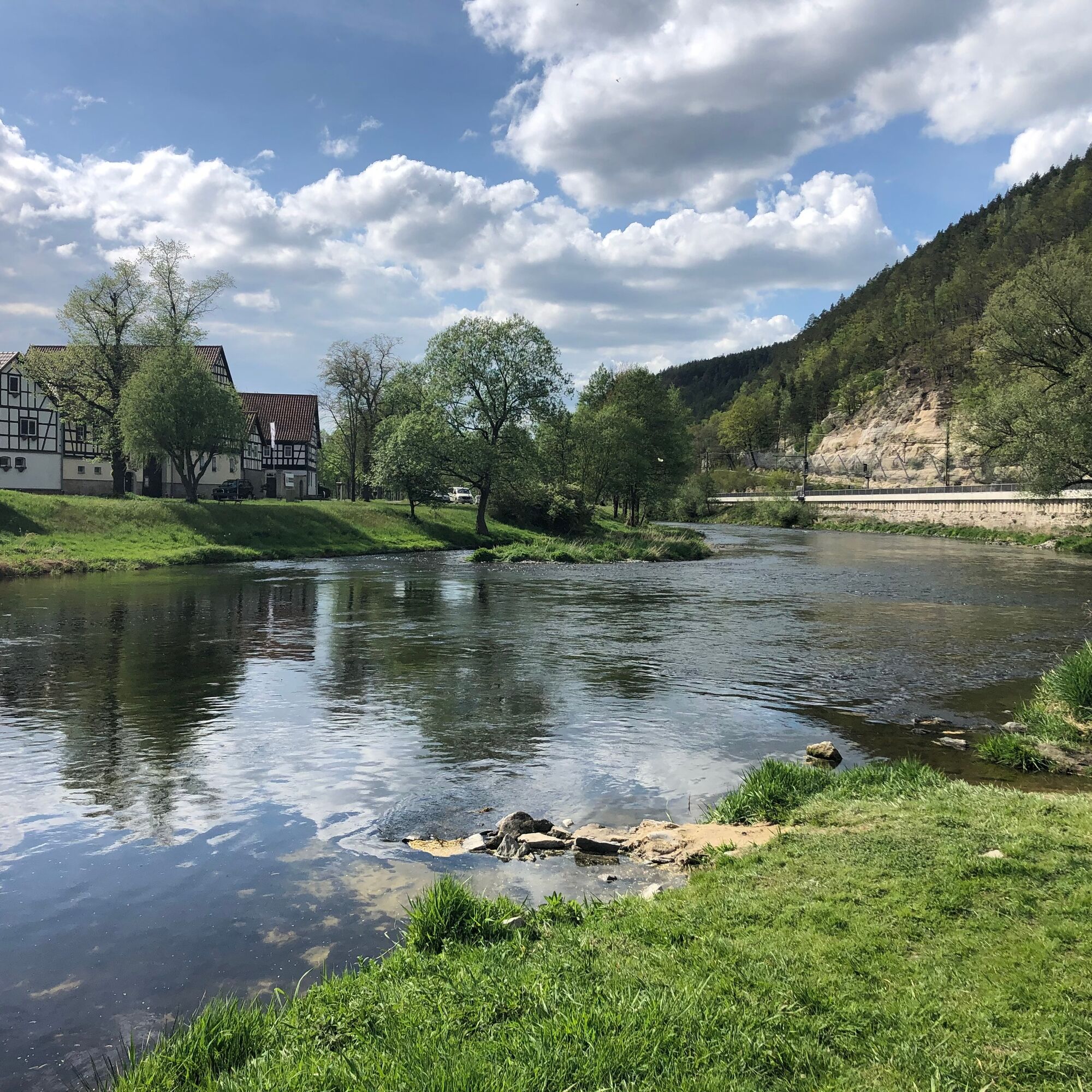
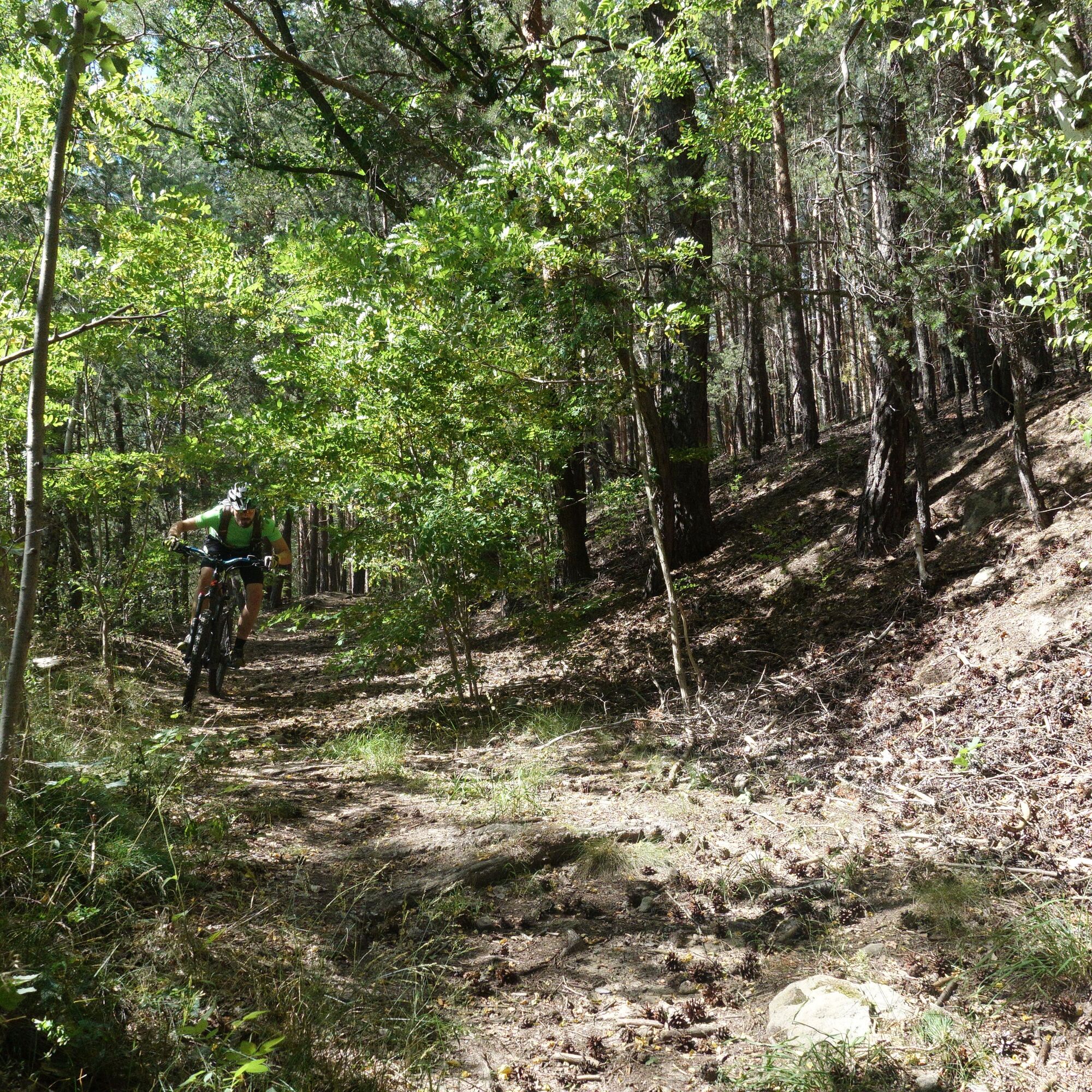
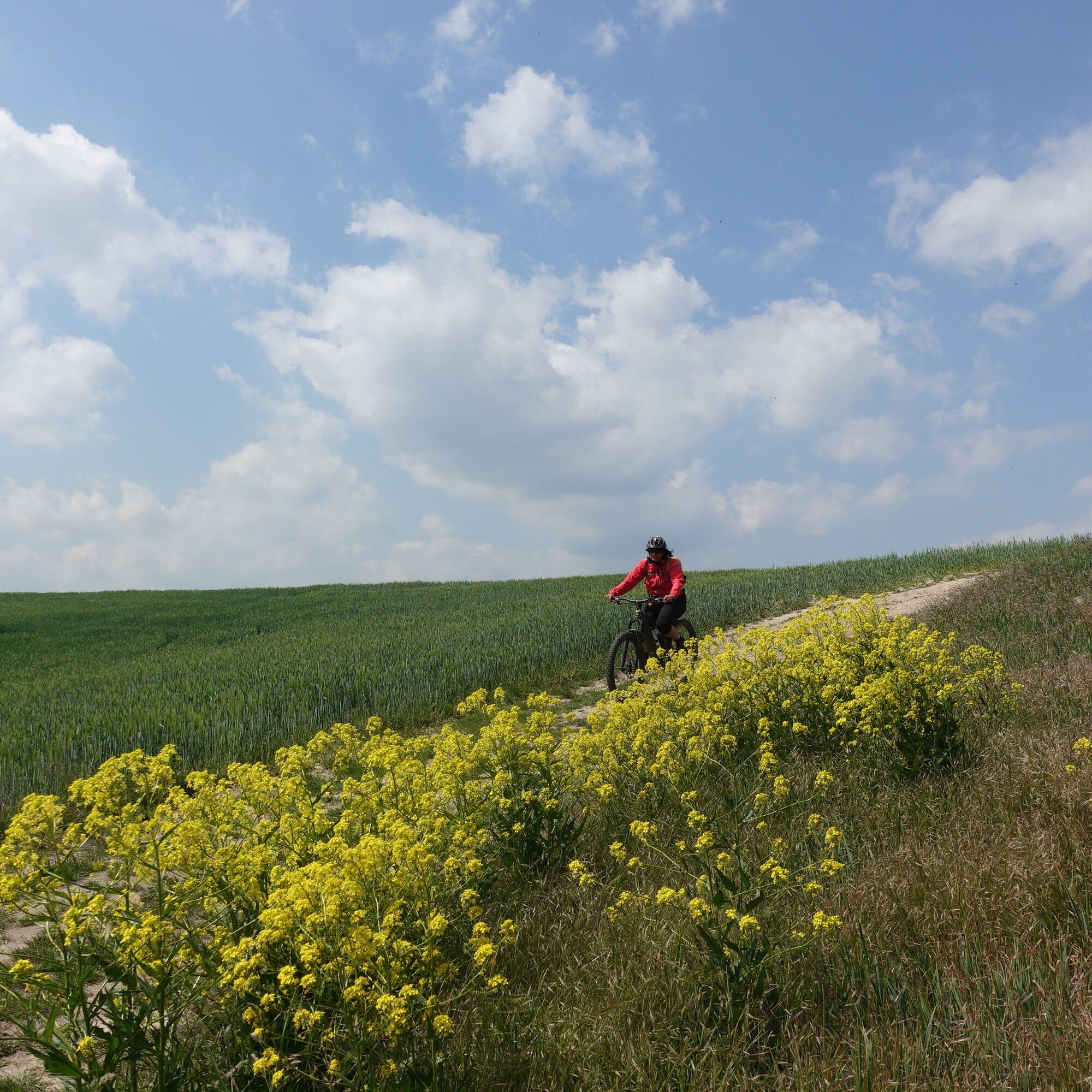
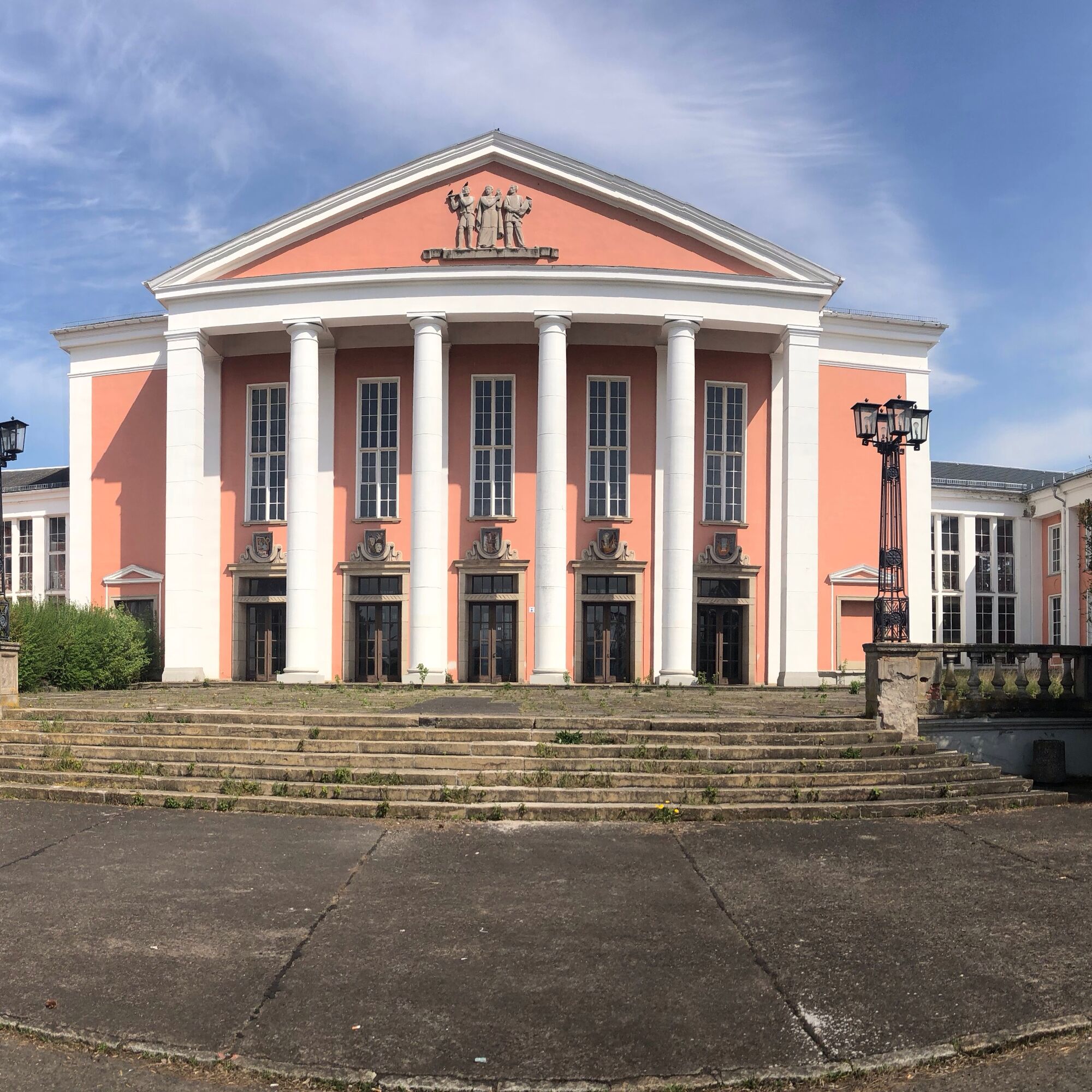
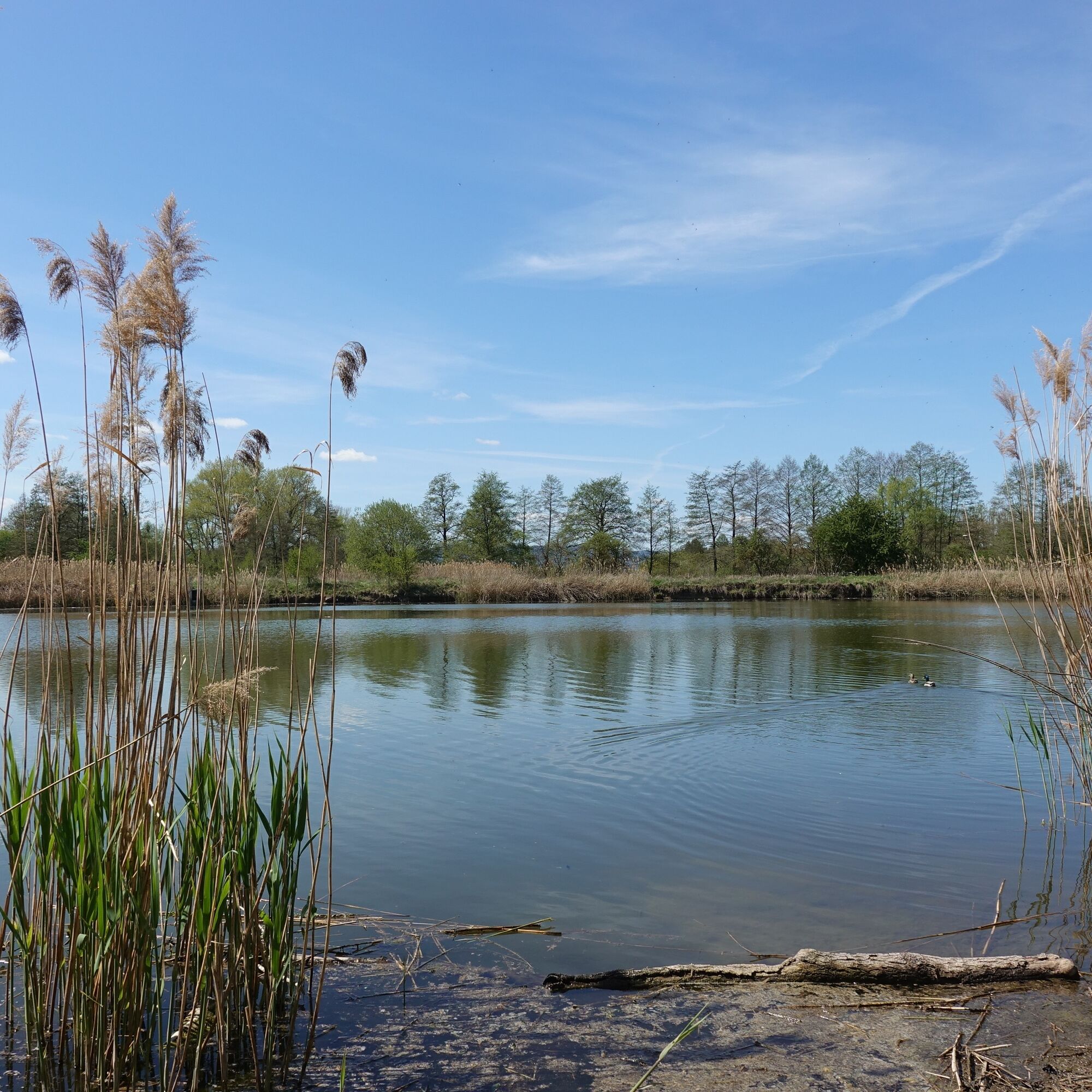
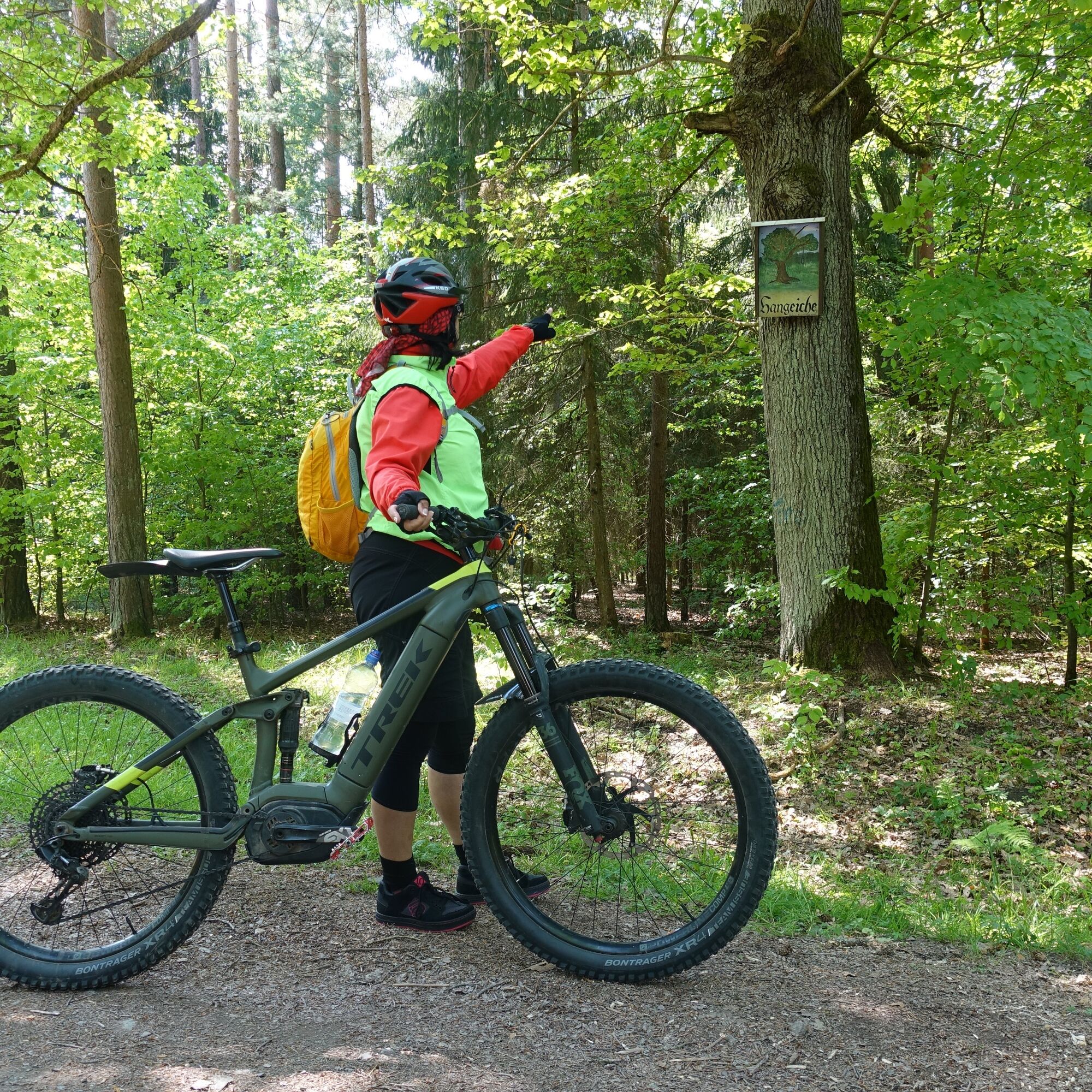
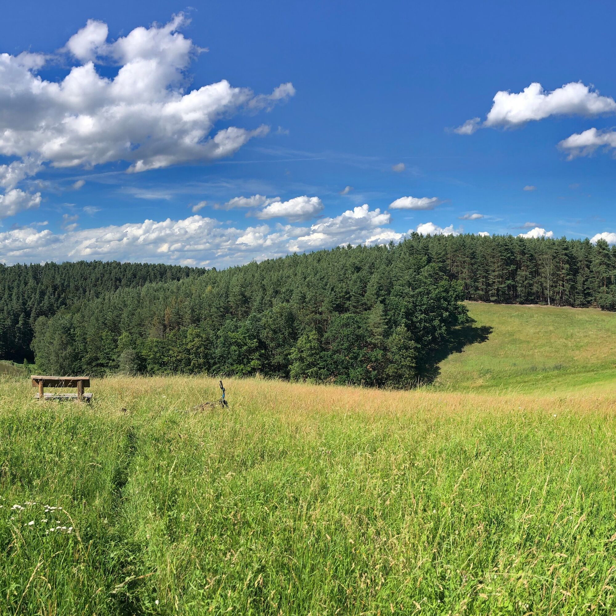
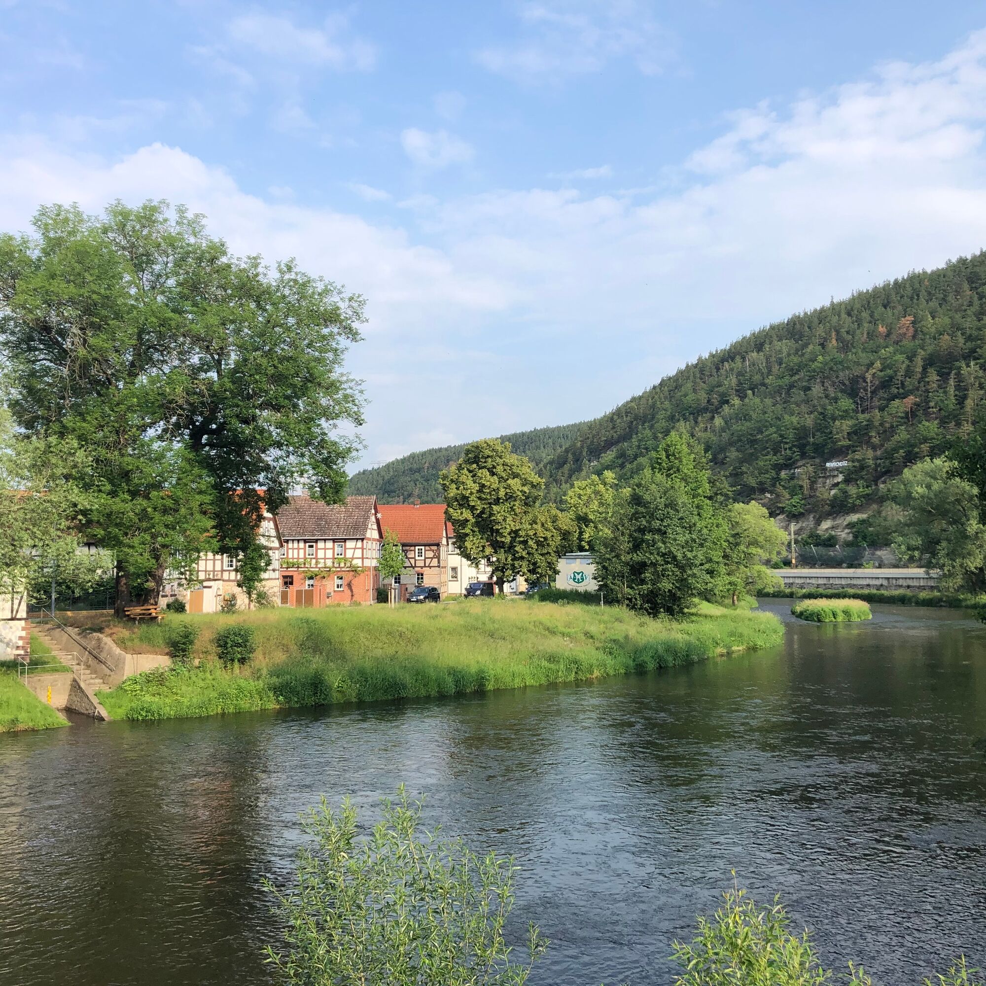

Remschütz - Sandgrube - Langenschader Straße - Vor der Heide - Forest Edge Path to Röblitz - Outdoor Pool Röblitz - Former Maxhütte Cultural Center - Unterwellenborn - Railway Embankment Path to Oberwellenborn - Ascent Uhlstädter Heide through Long Valley - Hangeiche - Three Pine Trees - At the Broad Stone - Cobblestone Hill - Langenschade - Wachtelberg - Kulmturm - Kulmberghaus - Gleitzwiesen - Fernsicht Kame - Oberpreilipp - Schillershöhe - Gondel Pond - Volkstedt - Saale Cycle Path - Preilipper Bridge - Saale Cycle Path - Remschütz - Ascent Dorfkulm via Unterdorf and Oberdorf - Kulmturm - Kulmberghaus - Lutherweg towards Dorfkulm - Melktal - Saale Cycle Path - Remschütz
Áno
Full-suspension mountain bike recommended, but not mandatory. A bicycle helmet is part of the basic mandatory equipment. Cycling glasses and gloves are advisable. A small daypack with some provisions and drinks can be useful.
â Expert bike recommendation: All routes are naturally also rideable with a modern and well-equipped e-mountain bike.
The route is not marked by signs.
Riding the route is done at your own risk.
There is currently an increased danger from dying trees in the forest.
More information is available in the Thuringian Forest Act.
Trail tolerance: For large parts of the route, you will be alone and solitary. Of course, there will also be sections or places where you will meet other nature lovers, such as hikers, riders, etc. All user groups in the forest share the joy of outdoor exercise. Therefore, a friendly and respectful interaction is natural. As a mountain biker, you ride defensively when you meet others. A brief stop and a friendly greeting contribute greatly to a good image of mountain bikers!
From the West:
Take the A71 at the Stadilm exit and continue on the B90 to SaalfeldFrom the South:
Exit the A73 at Eisfeld and follow the B281 towards Neuhaus am Rennweg On the B85 from KronachFrom the East:
Exit the A9 at Lobenstein and follow the B90 towards Lobenstein Exit the A9 at Triptis and follow the B281 towards PößneckFrom the North:
Exit the A4 at Jena-Göschwitz and follow the B88 towards Rudolstadt (Attention: currently still a permanent construction site in Rothenstein)By train to Saalfeld station. Saalfeld is very well and regularly accessible by various regional express connections with bike transport from the areas: Erfurt, Leipzig, and Nuremberg.
From Saalfeld station, follow the signs to the Saale cycle path: approx. 700 m away. Then downstream about 2.5 km on the Saale cycle path to the start and finish of the route Remschütz.
Please use the travel portal of Deutsche Bahn for travel planning at the following link:
Various free and paid parking spaces in the city area of Saalfeld. Sufficient parking spaces are available at the station (Google navigation point)
S2
More professional mountain bike routes can be found here:
For a stress-free retracing of the route, the author recommends using the GPS track of the route (GPX). Navigation using a GPS device or a smartphone app greatly facilitates route finding in some sections.
Obľúbené výlety v okolí
-
4,9
Circular hiking trail - H5 "The Water Route" - Thuringian Forest
strednáTuristika 6,58 km -
4,8
Circular hiking trail - "To the most beautiful viewpoints" - Thuringian Forest
strednáTuristika 12,8 km -
4,5
Circular route - “To the Strudel pots of the Schwarza” - Starting point at the Chrysopras weir - Bad Blankenburg
strednáTuristika 9,01 km -
4,7
Circular hiking route - H3 "The Bird's Eye View" - Thuringian Forest
strednáTuristika 8,78 km -
4,0
Circular route - "Wichtelweg" - Wilhelmsdorf
svetloTematická trasa 2 km -
Circular hike - "Friedrich Fröbel" - Bad Blankenburg
ťažkéTuristika 14,4 km -
5,0
Urwaldpfad Leutenberg - Thuringian Urwaldpfade
strednáTuristika 6,82 km -
Circular trail - Saugartenpfad - Hiking start at Chrysopraswehr - Bad Blankenburg
strednáTuristika 8,39 km -
5,0
Kulm route
strednáTuristika 9,39 km -
Panoramaweg Schwarzatal - Stage 1 Schwarza to Schwarzburg - Thuringian Forest
ťažkéTuristika 15,4 km
Turistika a stopovanie


Nenechajte si ujsť ponuky a inšpiráciu na ďalšiu dovolenku
Vaša e-mailová adresa bol pridaný do poštového zoznamu.





