






MTB Saalfeld 11: Circular route to Ehrenstein castle ruins
Úroveň náročnosti: S2
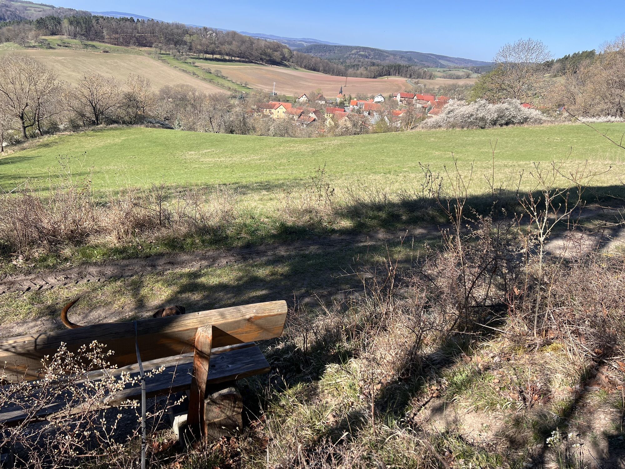
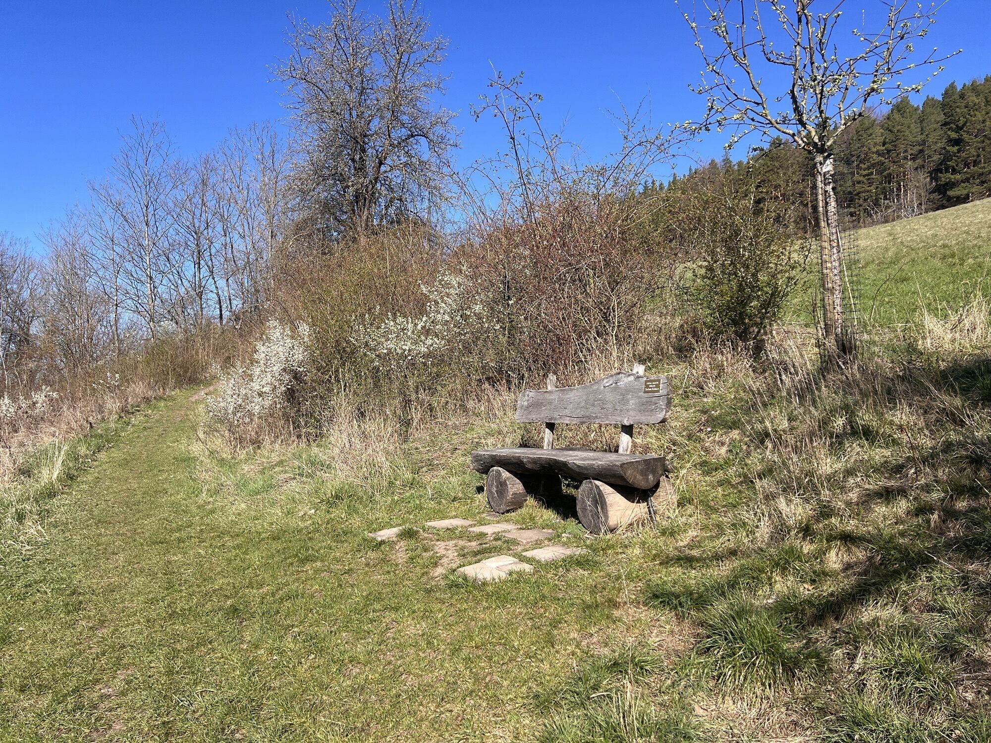
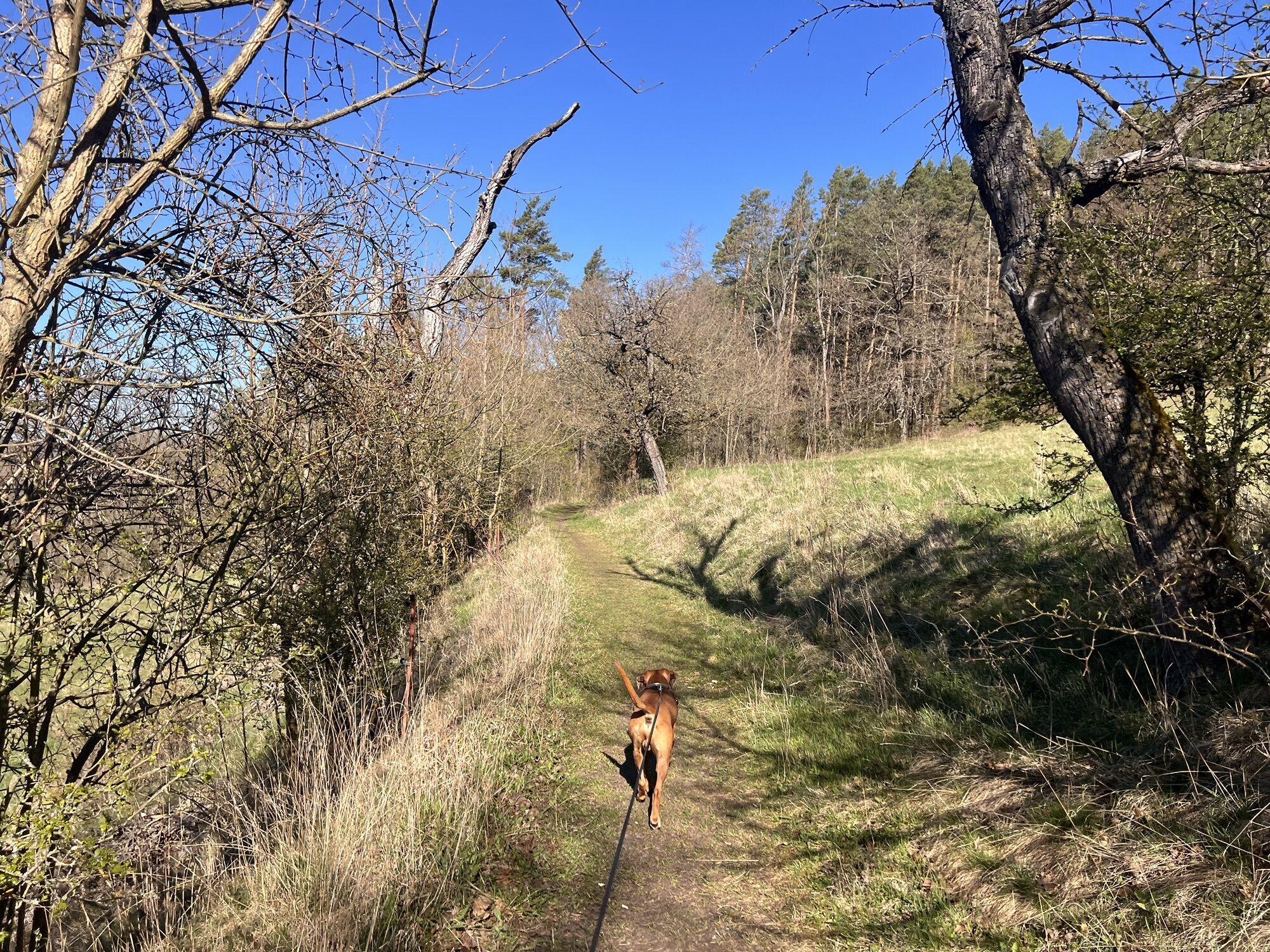
The route from Saalfeld first goes through Bad Blankenburg into the Schwarzatal valley. From here, it continues via the Greifenstein Castle, with its own falconry, to Großgölitz. Here, a local wood artist...
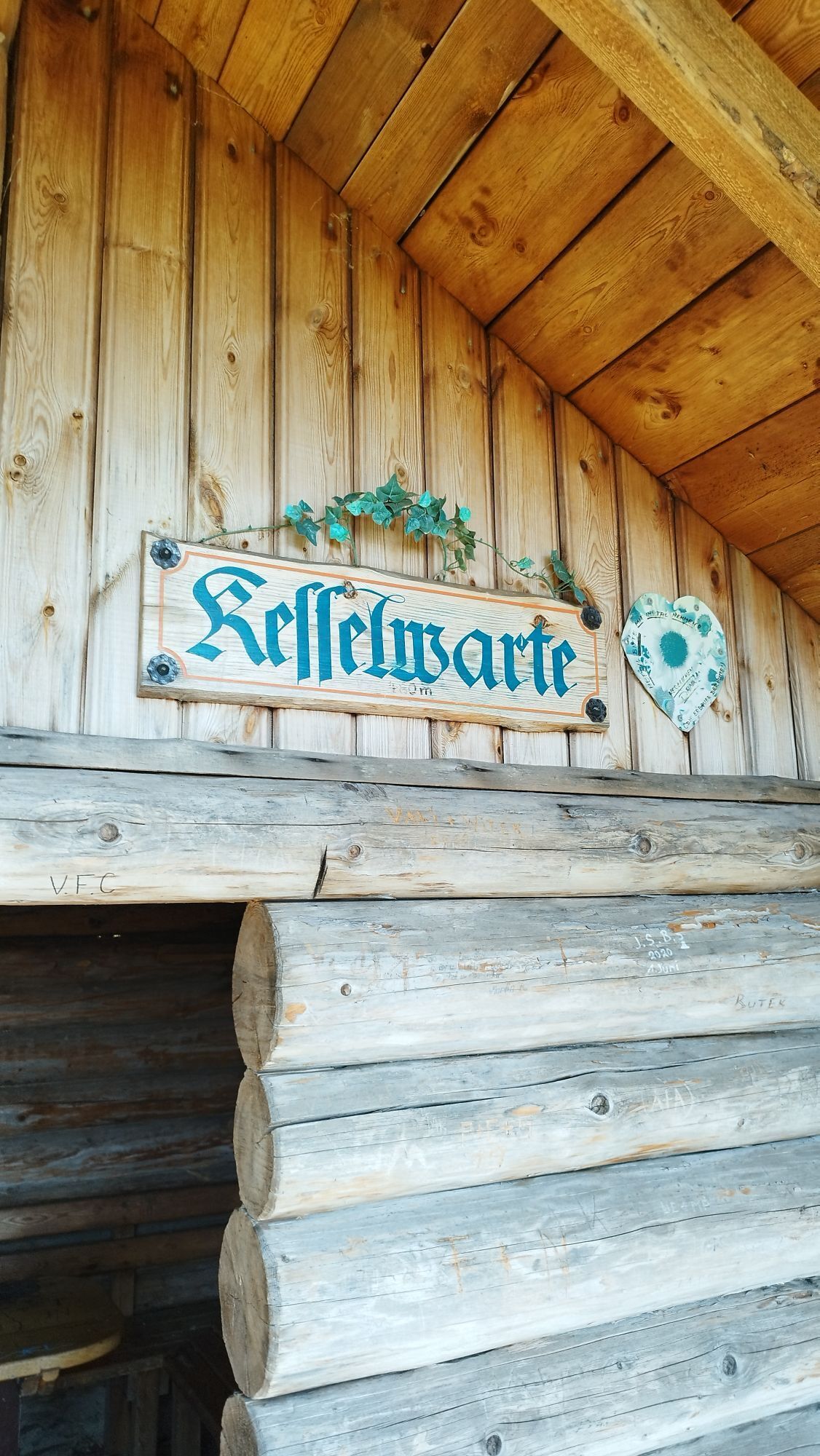
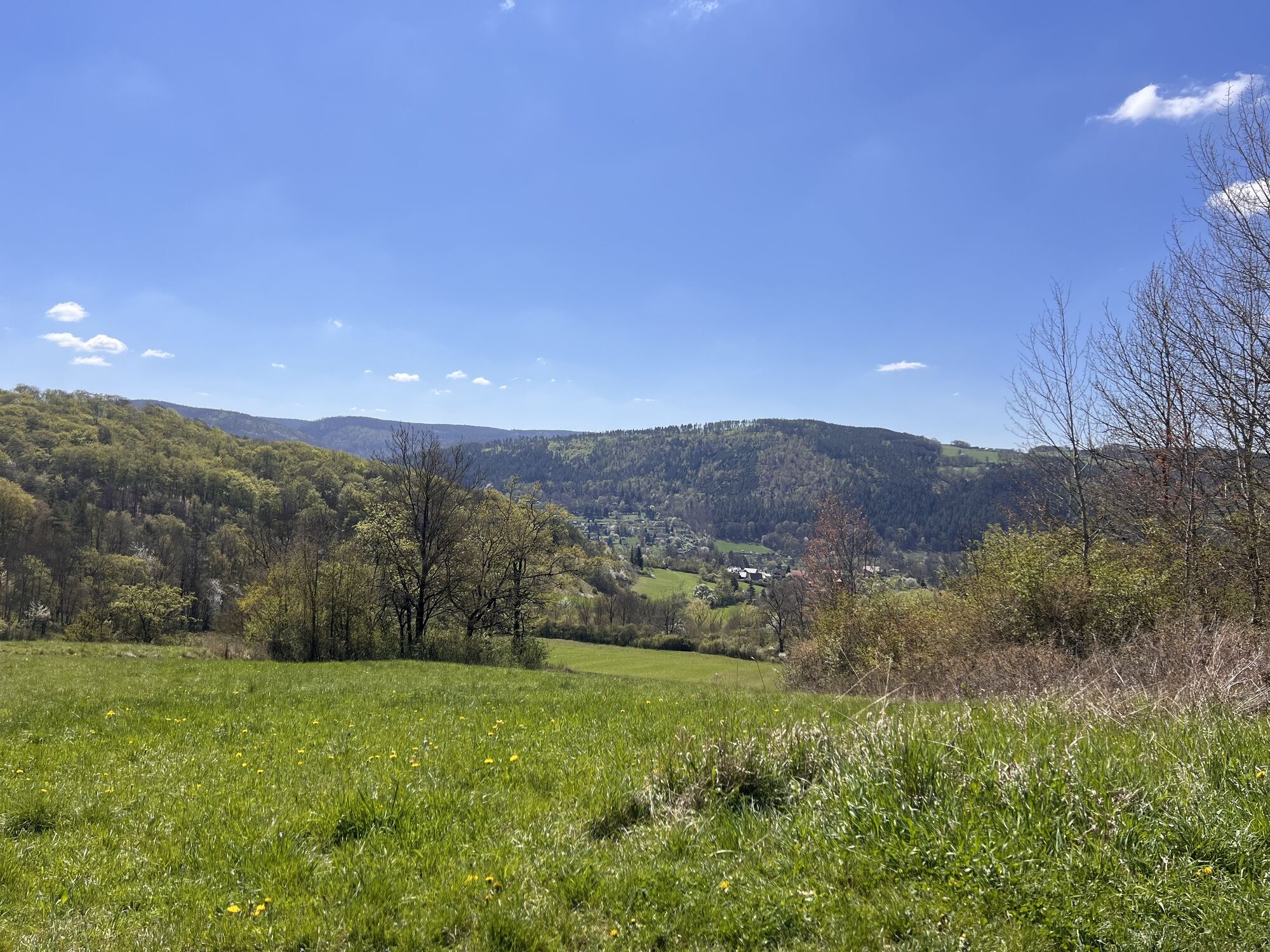
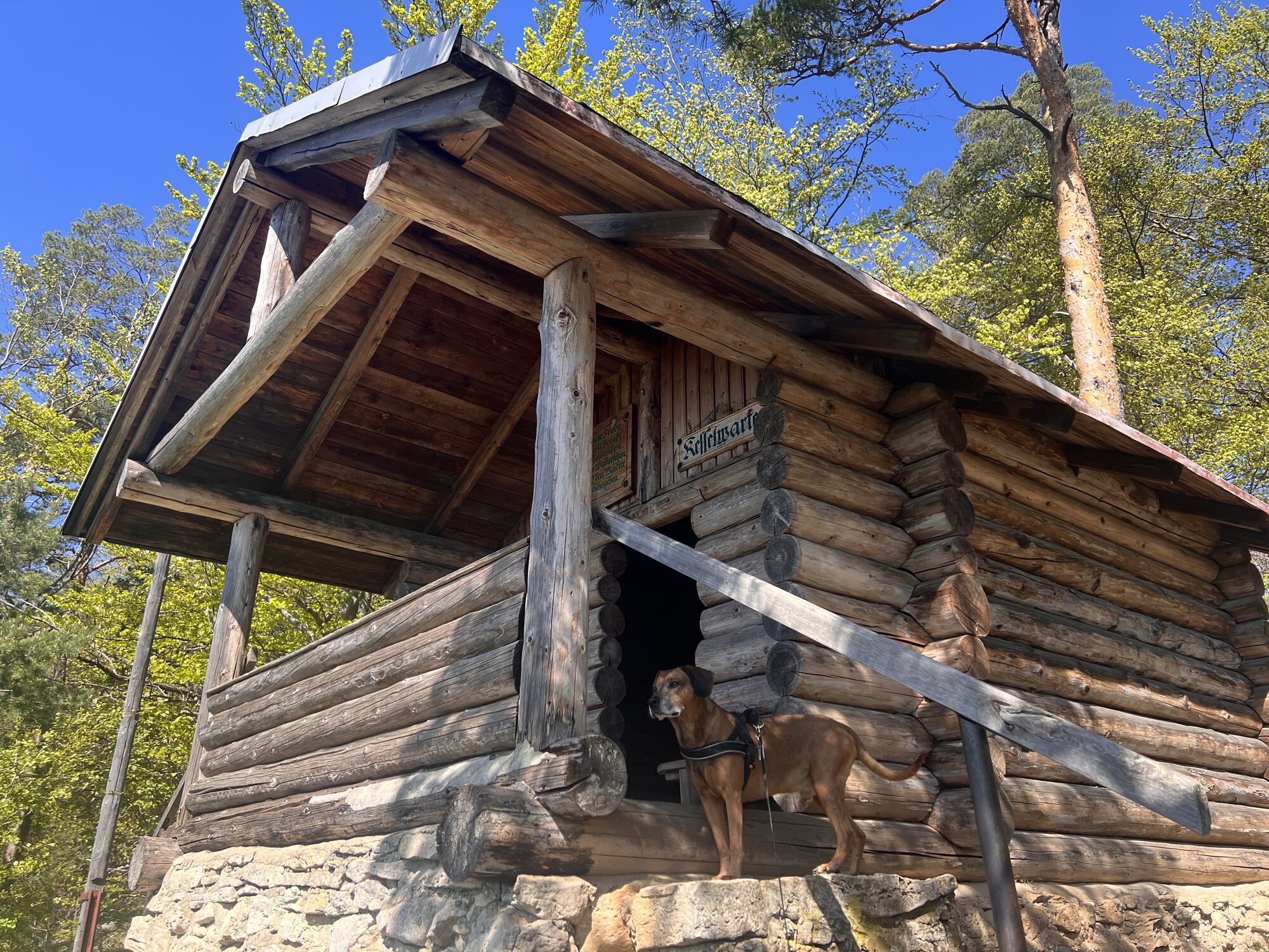
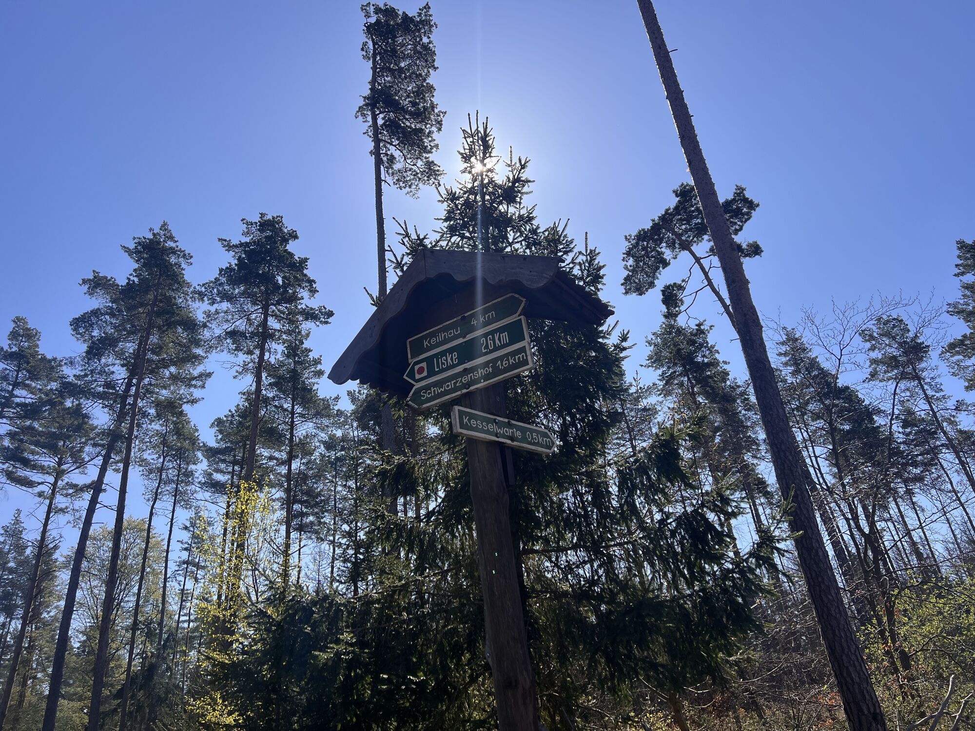
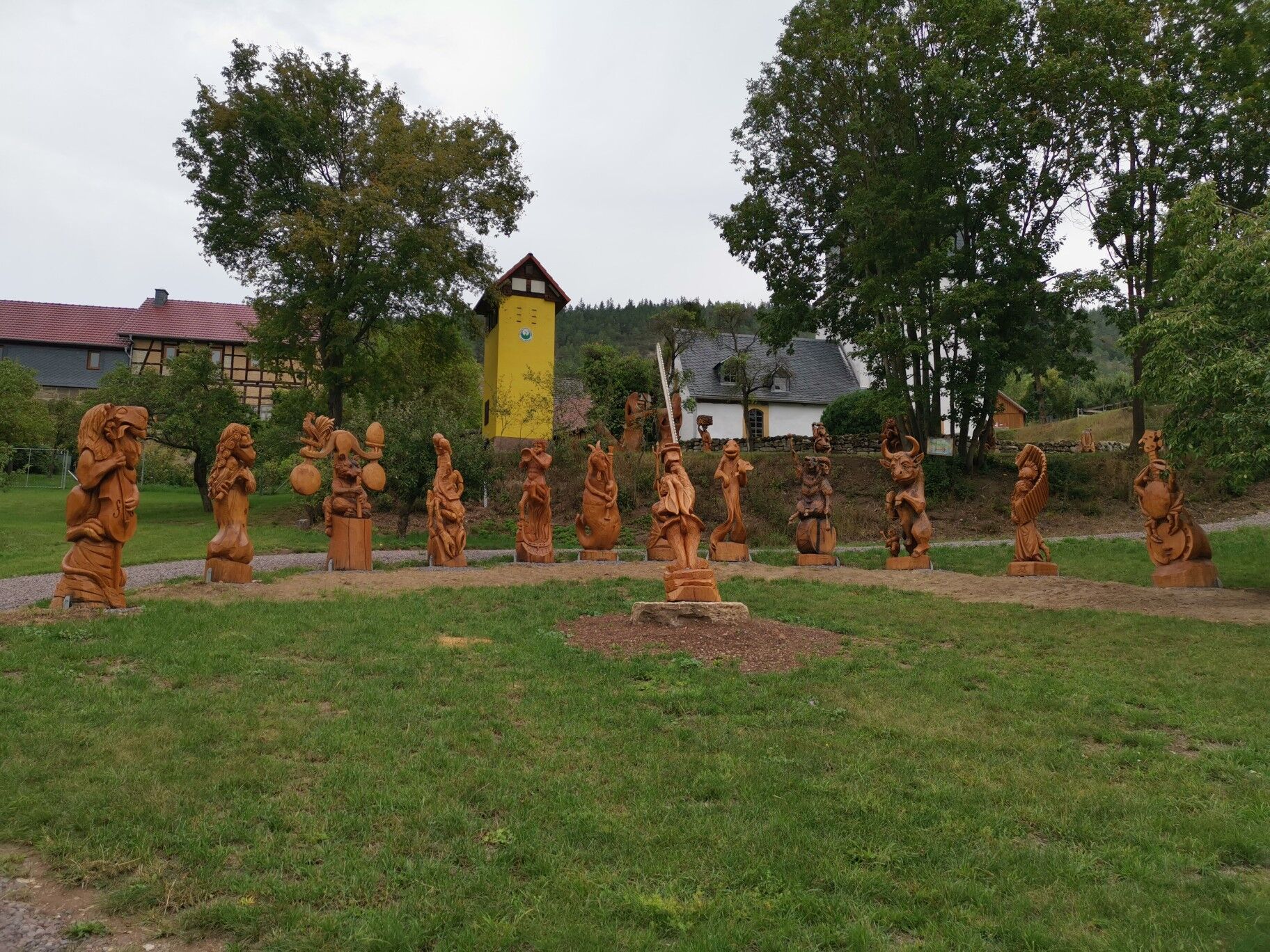
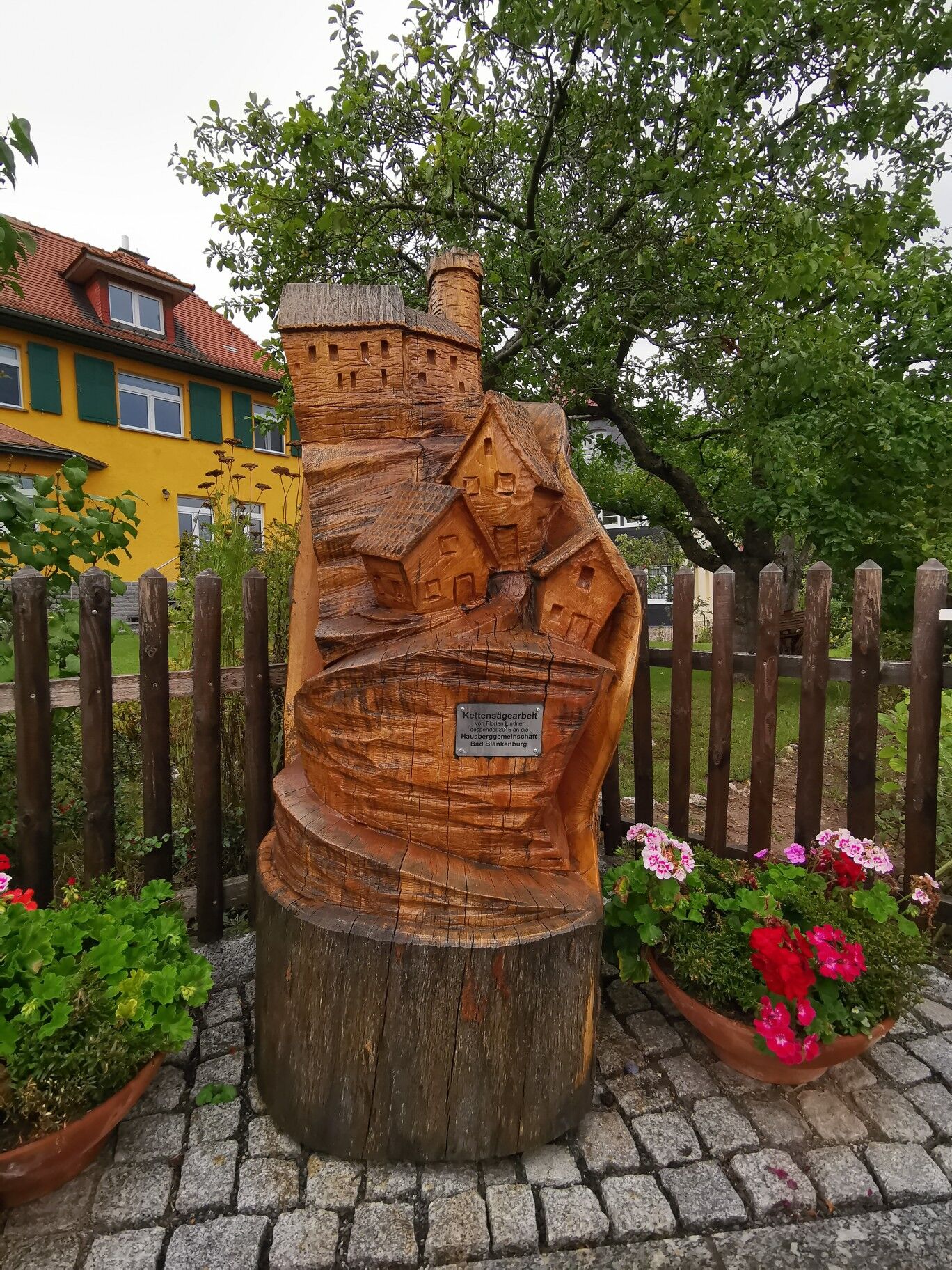
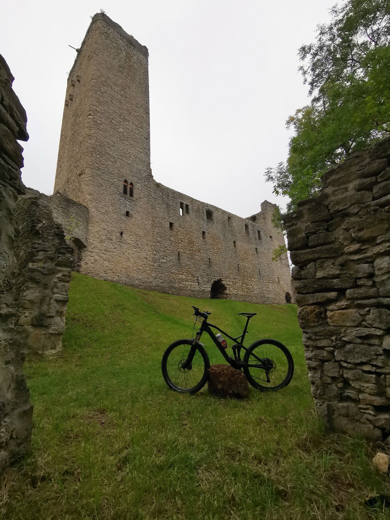
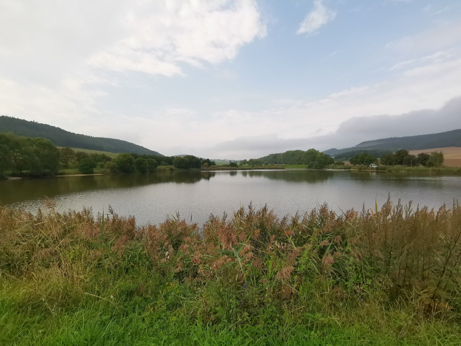
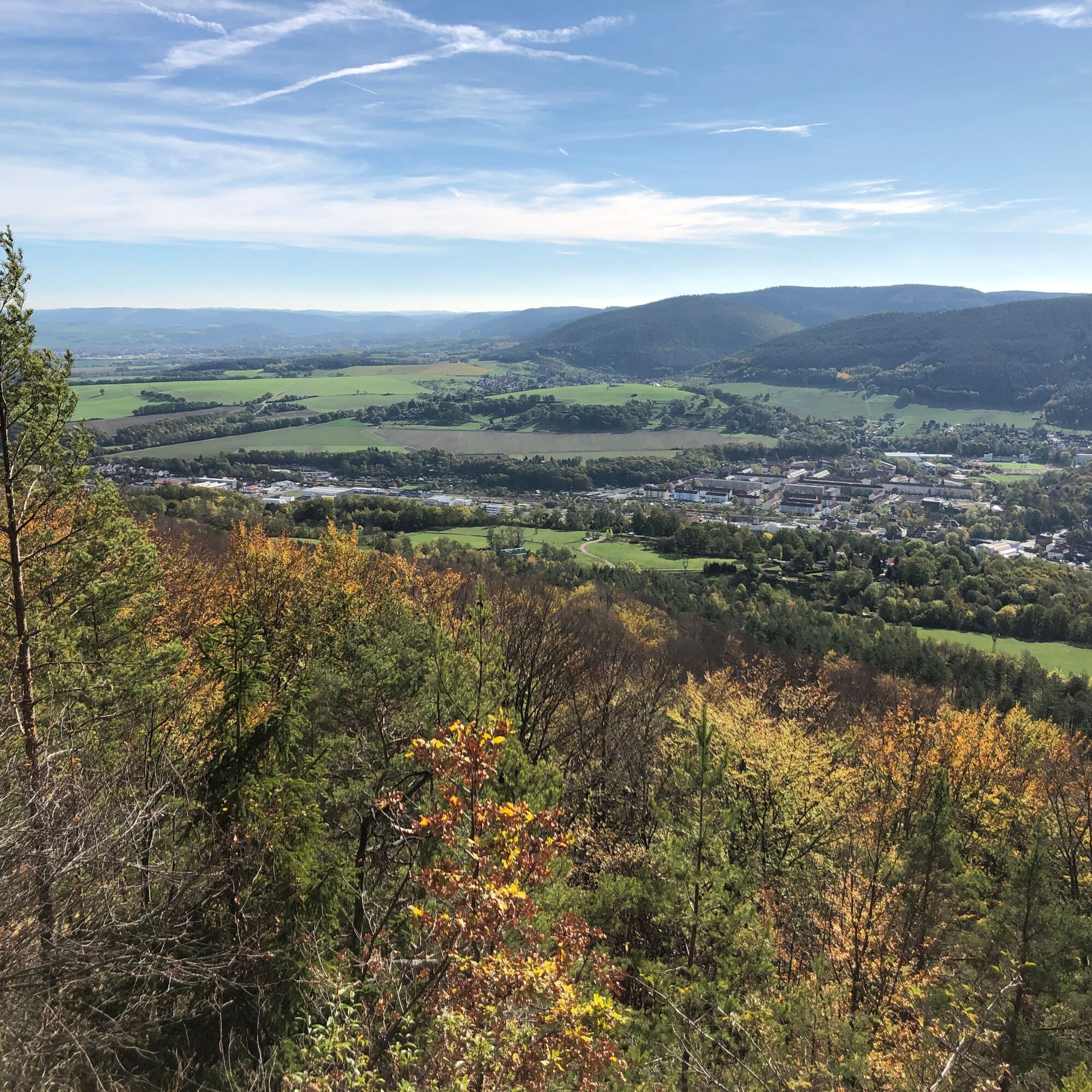
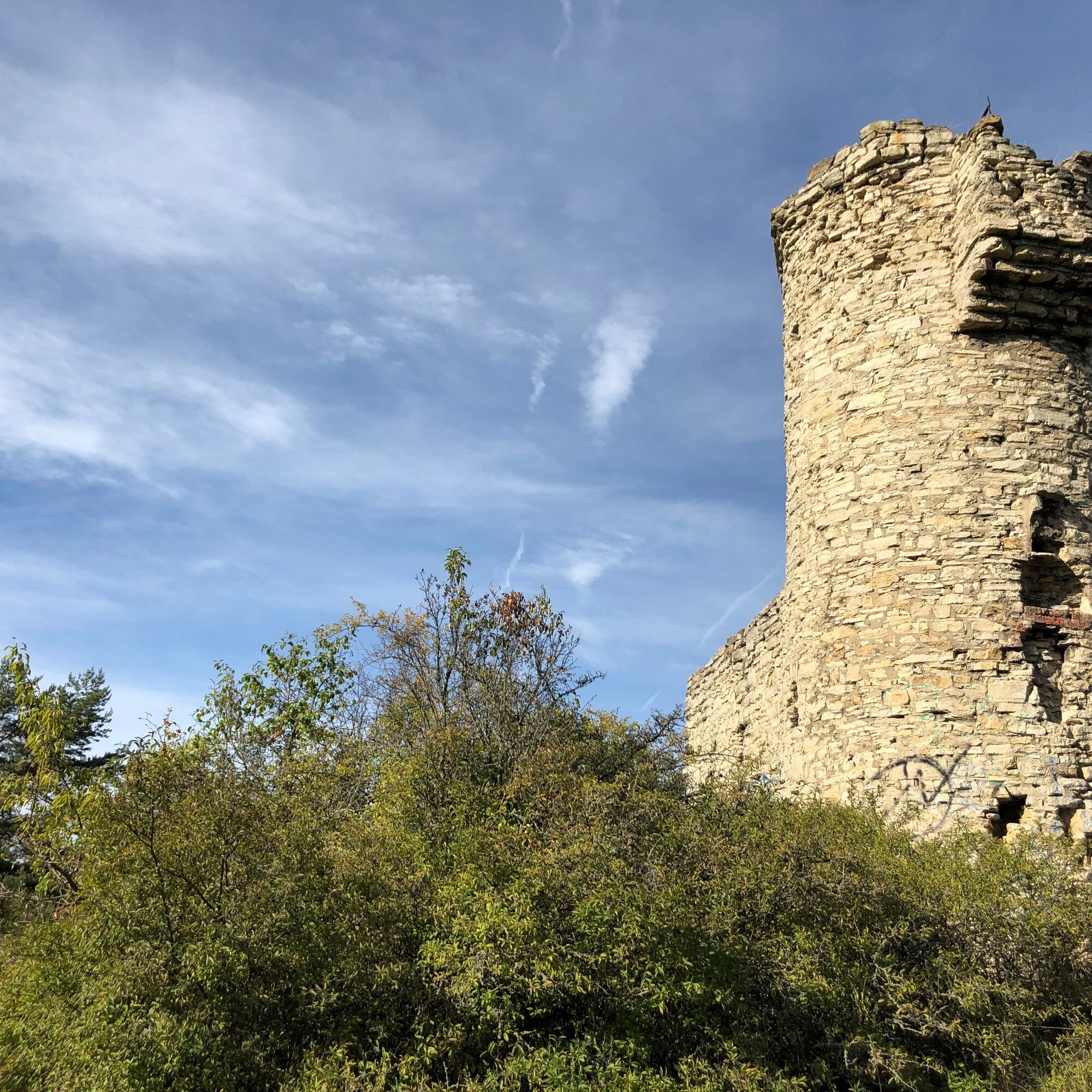
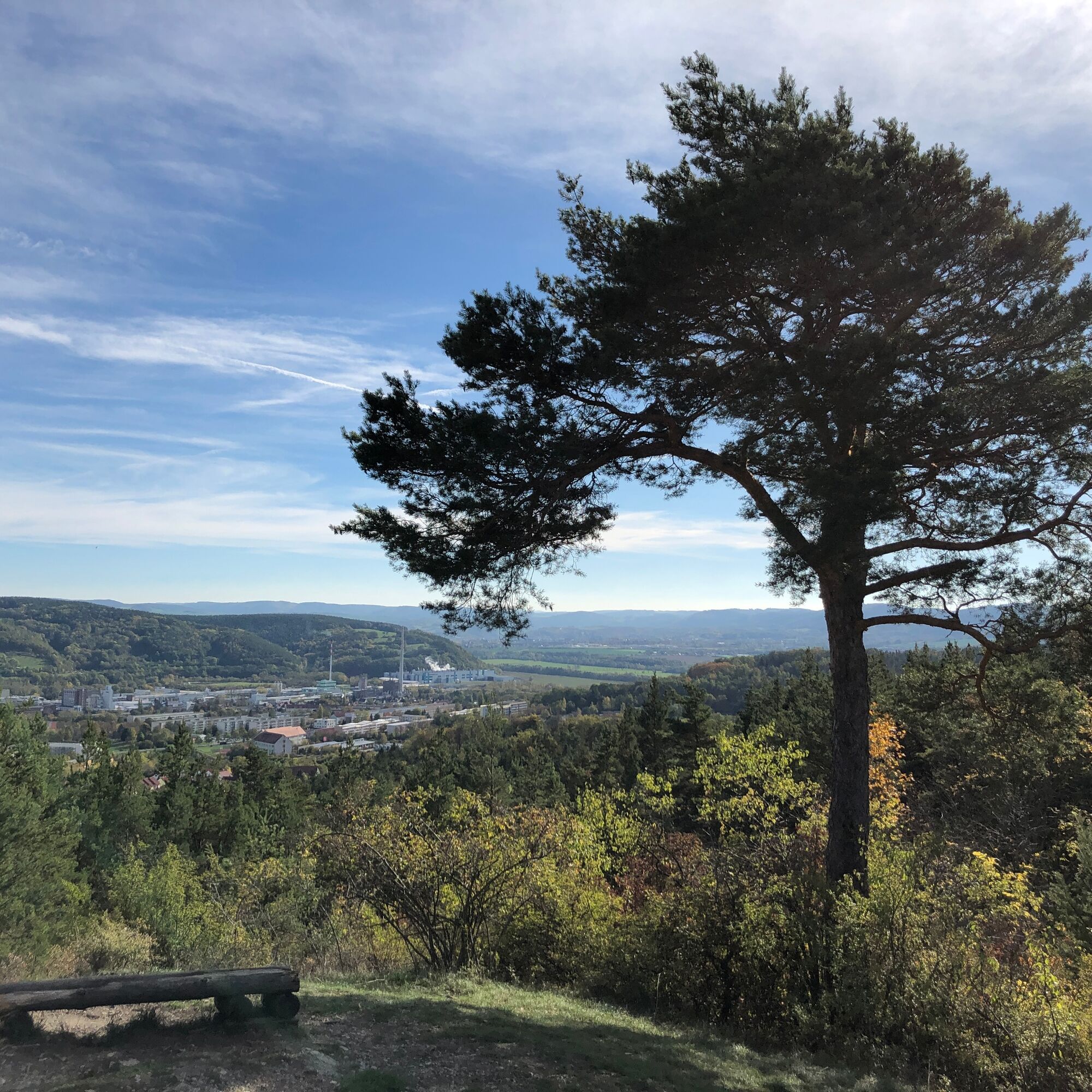
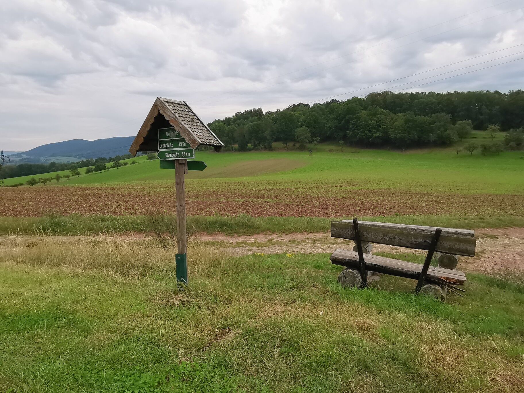
The route from Saalfeld first goes through Bad Blankenburg into the Schwarzatal valley. From here, it continues via the Greifenstein Castle, with its own falconry, to Großgölitz. Here, a local wood artist has created a sculpture park. There is also a small distillery in the village. Uphill it goes over Thälendorf towards the Ehrenstein castle ruins, a former count's castle of the Schwarzburg family. The highest point of the route, the large Kalmberg, is reached afterwards. During the years of German division, the NVA was stationed here. After reunification, a broadcasting facility of MDR was established instead. Via forest and field paths, you reach the Altremda reservoir on to Sundremda. Past the Groschwitz airfield and the homonymous domain, you go on towards Keilhau. From Kesselberg, you then quickly reach the Kesselwarte viewpoint with a great view over Bad Blankenburg and Greifenstein Castle. On narrow forest paths and single trails, you then reach the idyllic village of Zeigerheim. Over Zeigerheimer Berg follows the last big ascent of the route to the 9.5-meter-high Geschwister-Scholl Tower, built in the style of a small castle. Single trails and gravel paths lead towards Rudolstadt. Following the Saale River, you finally return to the starting point.

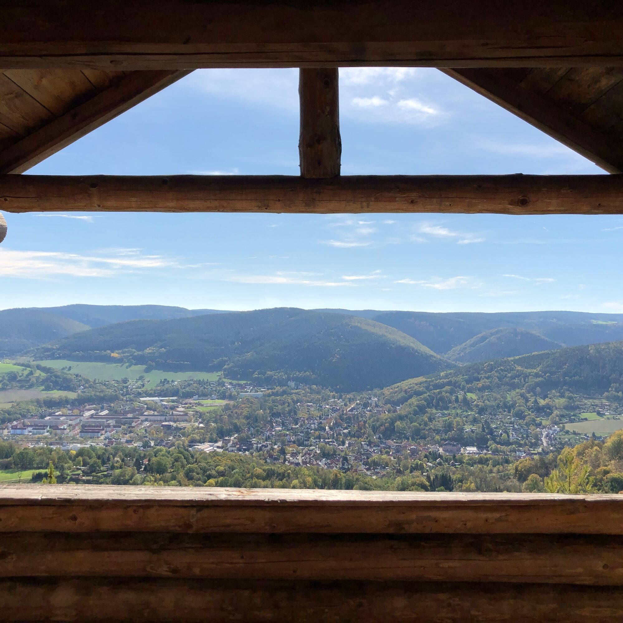

Saalfeld - Bad Blankenburg - Großgölitz - Ehrenstein - Sundremda - Unterpreilipp - Saalfeld
Full suspension mountain bike is useful but not mandatory. A bicycle helmet is of course part of the basic equipment. Riding glasses and cycling gloves are recommended. A small day backpack with some provisions and drinks is advisable.
â Bike recommendation: All trails can of course also be ridden with a modern and well-equipped e-mountain bike.
The route is not marked by signposts.
Riding the route is at your own risk.
Currently, there is an increased risk in the forest due to dying trees.
Further information is available in the Thuringian Forest Act.
Trail tolerance: On large parts of the trails you will be traveling alone and isolated. Of course, there will also be sections or places where you will meet other nature lovers, whether hikers, riders, or others. All user groups in the forest share the joy of being active outdoors. Therefore, friendly and respectful behavior towards each other goes without saying. As a mountain biker, you ride defensively when encountering others. A brief stop and a friendly greeting contribute greatly to a good image of mountain bikers!
From the west:
take the A71 at the Stadilm exit and continue on the B90 to SaalfeldFrom the south:
take the A73 at the Eisfeld exit and follow the B281 towards Neuhaus am Rennweg on the B85 from KronachFrom the east:
take the A9 at the Lobenstein exit and follow the B90 towards Lobenstein take the A9 at the Triptis exit and follow the B281 towards PößneckFrom the north:
take the A4 at the Jena-Göschwitz exit and follow the B88 towards RudolstadtBy train to Saalfeld station. Saalfeld is very well and regularly accessible by various regional express connections with bike transport from the areas: Erfurt, Leipzig, Gera, and Nuremberg.
For travel planning, the Deutsche Bahn travel portal can be used at the following link:
From Saalfeld station, follow the signs to the Saale Cycle Path: after about 800 m you reach the cycle path via the Carl-Zeiss-Bridge, now downstream in the direction of Weidig.
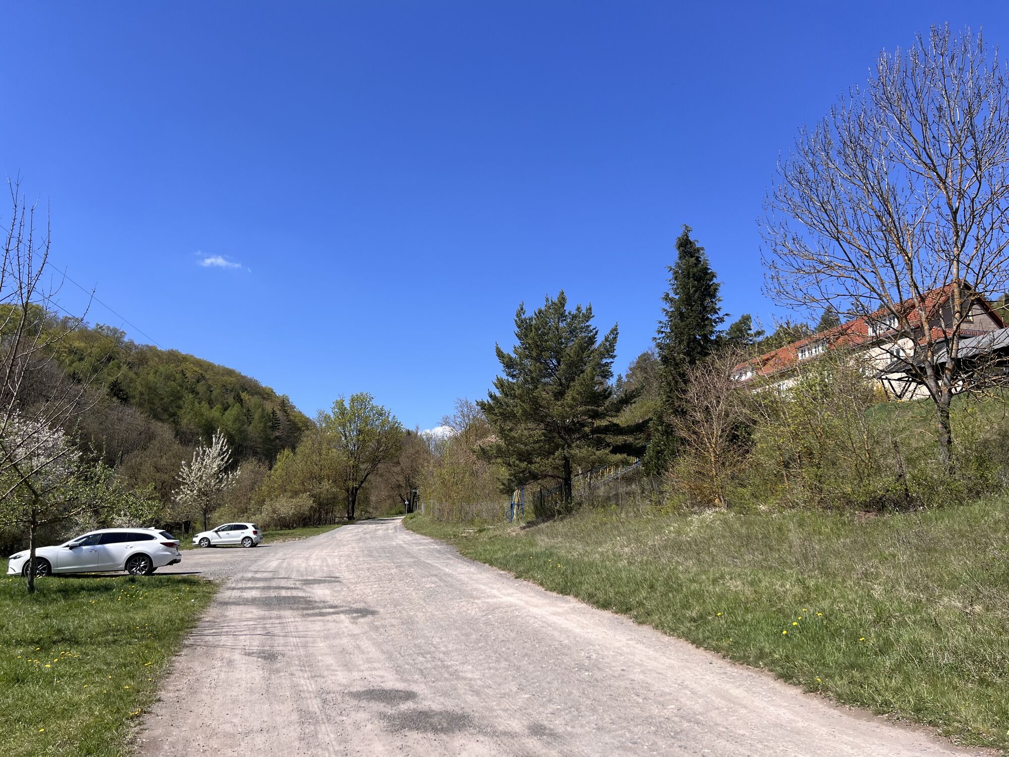
At the station (Google navigation point) and at Weidig (Google navigation point) there are sufficient parking spaces available.
S2
For a stress-free follow-up of the route, the author recommends using the GPS track of the route (GPX). Navigation with a GPS device or a smartphone app significantly facilitates finding the way in some sections.
Obľúbené výlety v okolí
-
4,8
Circular hiking trail - "To the most beautiful viewpoints" - Thuringian Forest
strednáTuristika 12,8 km -
4,5
Circular route - “To the Strudel pots of the Schwarza” - Starting point at the Chrysopras weir - Bad Blankenburg
strednáTuristika 9,01 km -
Circular hike - "Friedrich Fröbel" - Bad Blankenburg
ťažkéTuristika 14,4 km -
Circular trail - Saugartenpfad - Hiking start at Chrysopraswehr - Bad Blankenburg
strednáTuristika 8,39 km -
5,0
Kulm route
strednáTuristika 9,39 km -
Panoramaweg Schwarzatal - Stage 1 Schwarza to Schwarzburg - Thuringian Forest
ťažkéTuristika 15,4 km -
3,0
Circular route - "On archaeological trail of King Otto I." - Saale region
svetloTuristika 6,55 km -
4,0
Circular hike - "Round route 3" - start and finish country hotel Edelhof Kolkwitz - Thuringia
strednáTuristika 9,42 km -
5,0
Bachtälchen Path - No. 1
svetloTematická trasa 2,96 km -
4,0
Terrain therapy trail Saalfeld - No. 5
strednáTematická trasa 5,31 km
Turistika a stopovanie


Nenechajte si ujsť ponuky a inšpiráciu na ďalšiu dovolenku
Vaša e-mailová adresa bol pridaný do poštového zoznamu.





