







Bike route - Neustadt am Rennsteig/ Schönbrunn Dam/ Simmersberg/ Werra Source - Thuringian Forest
Úroveň náročnosti: 3
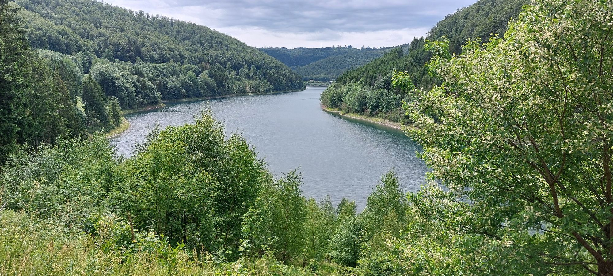
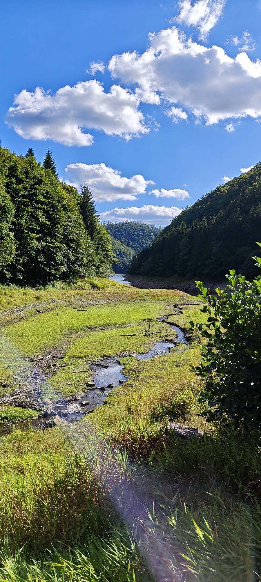
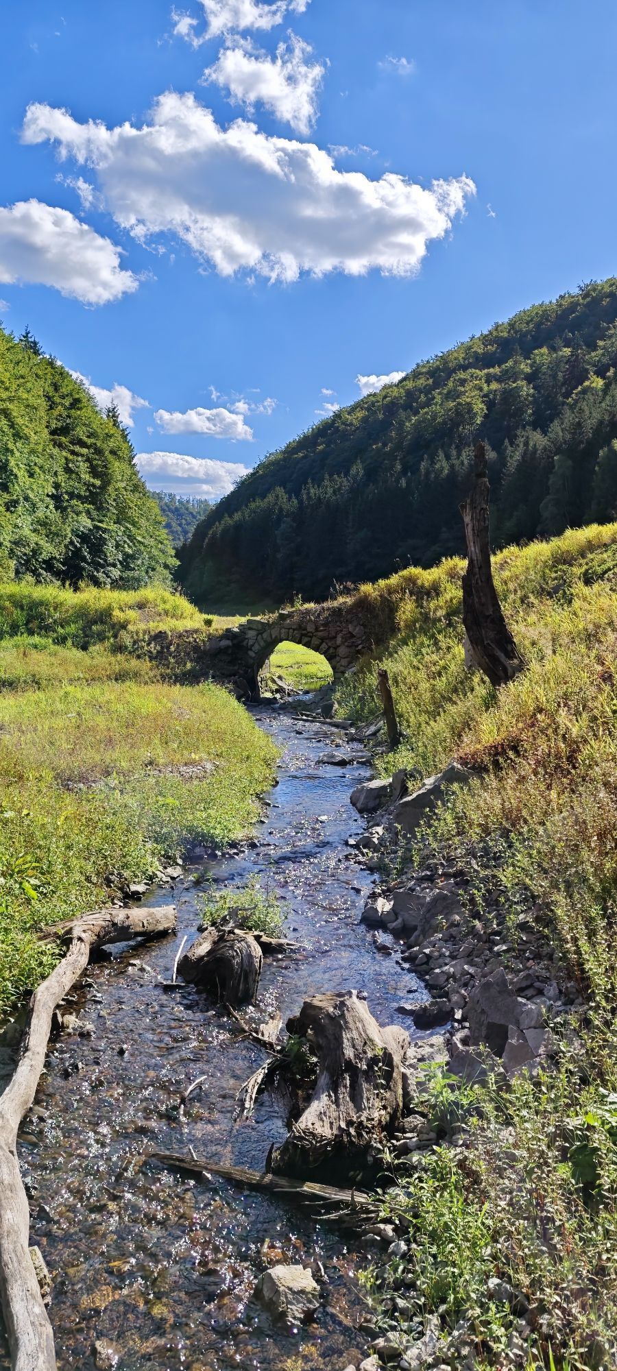
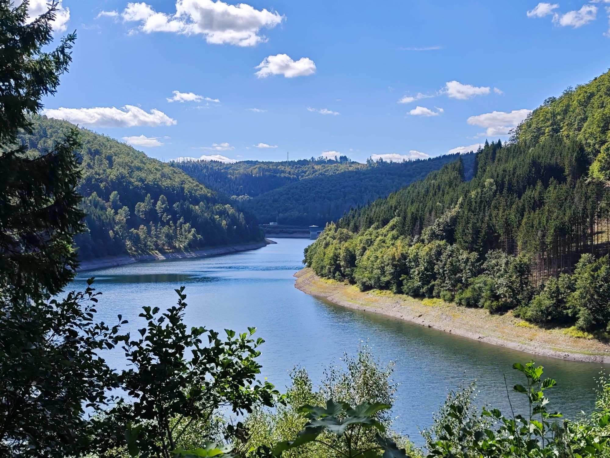
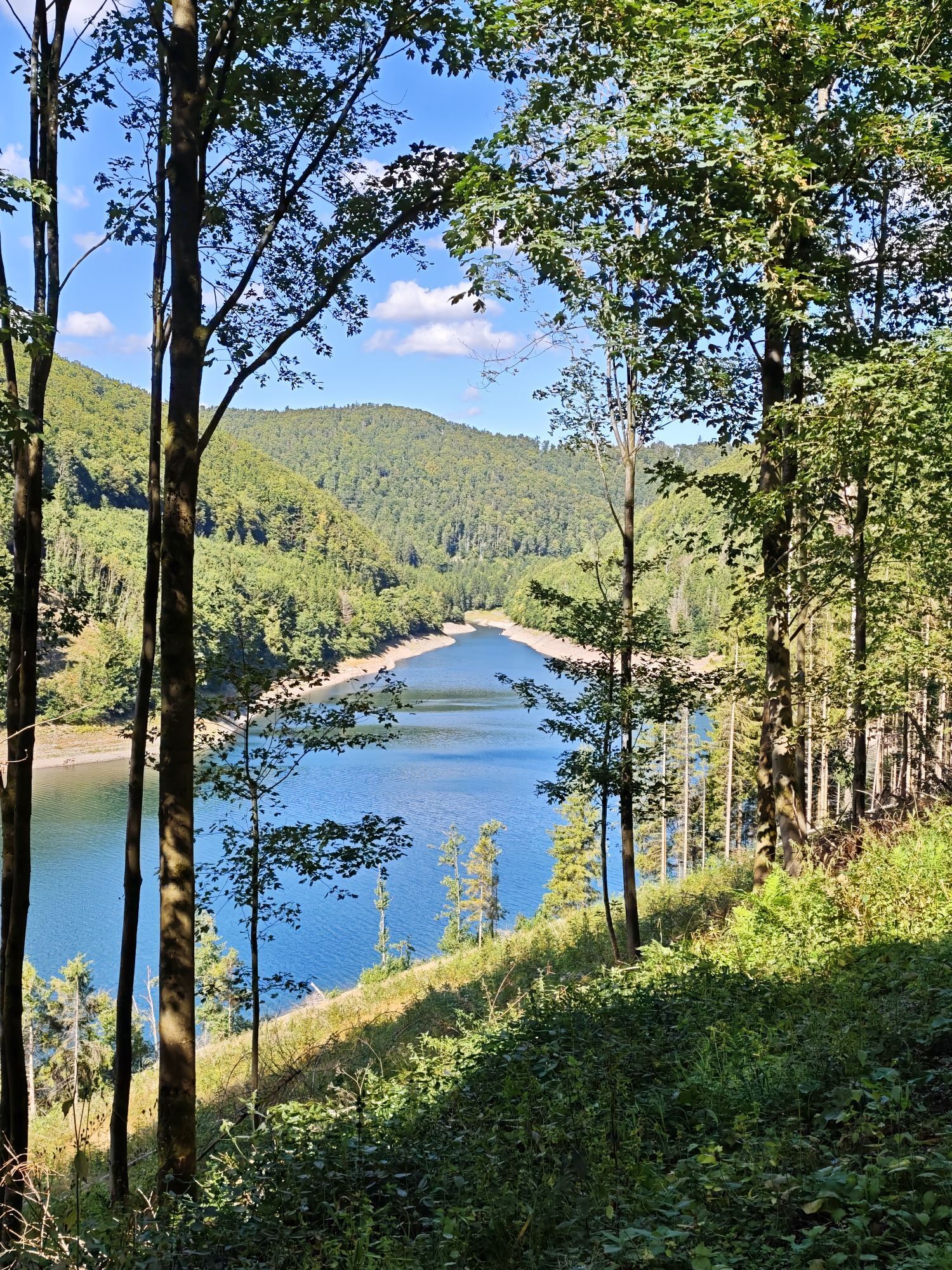
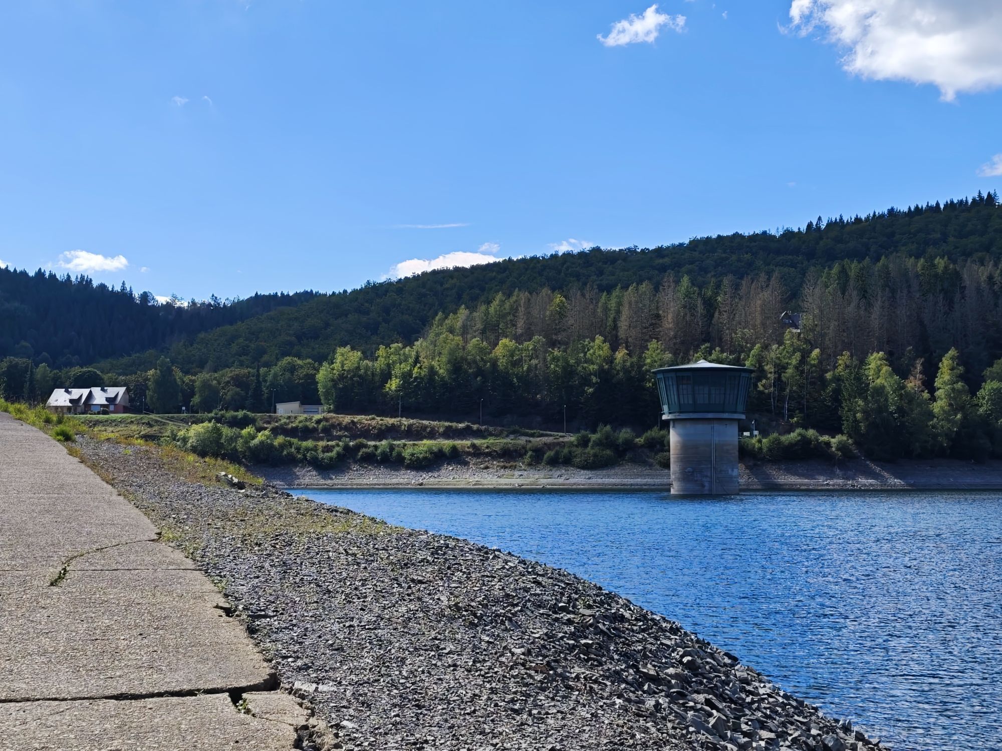
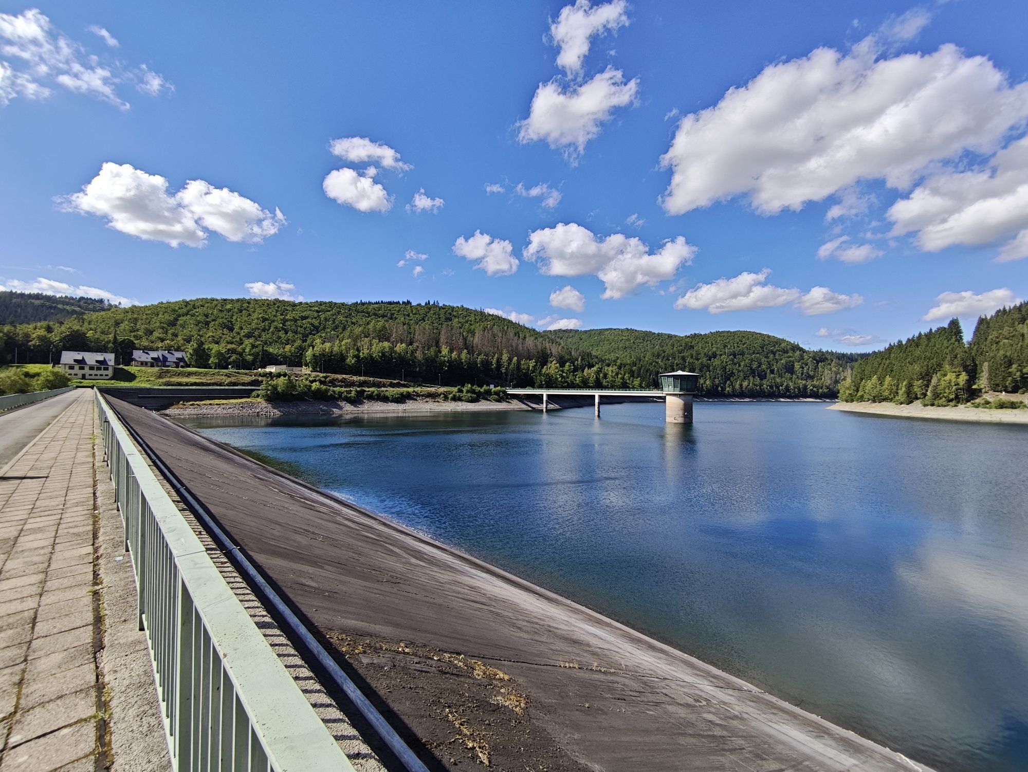
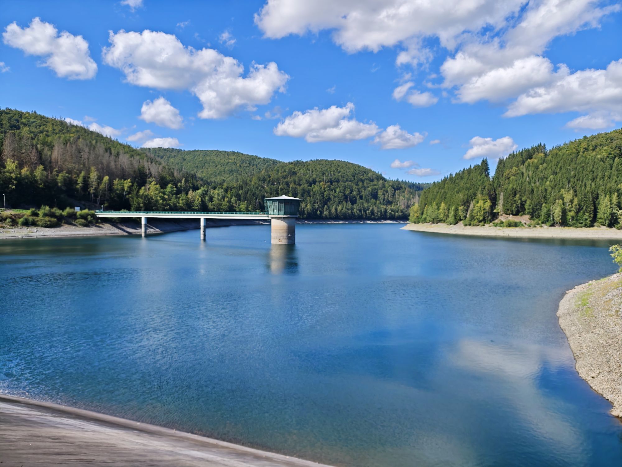
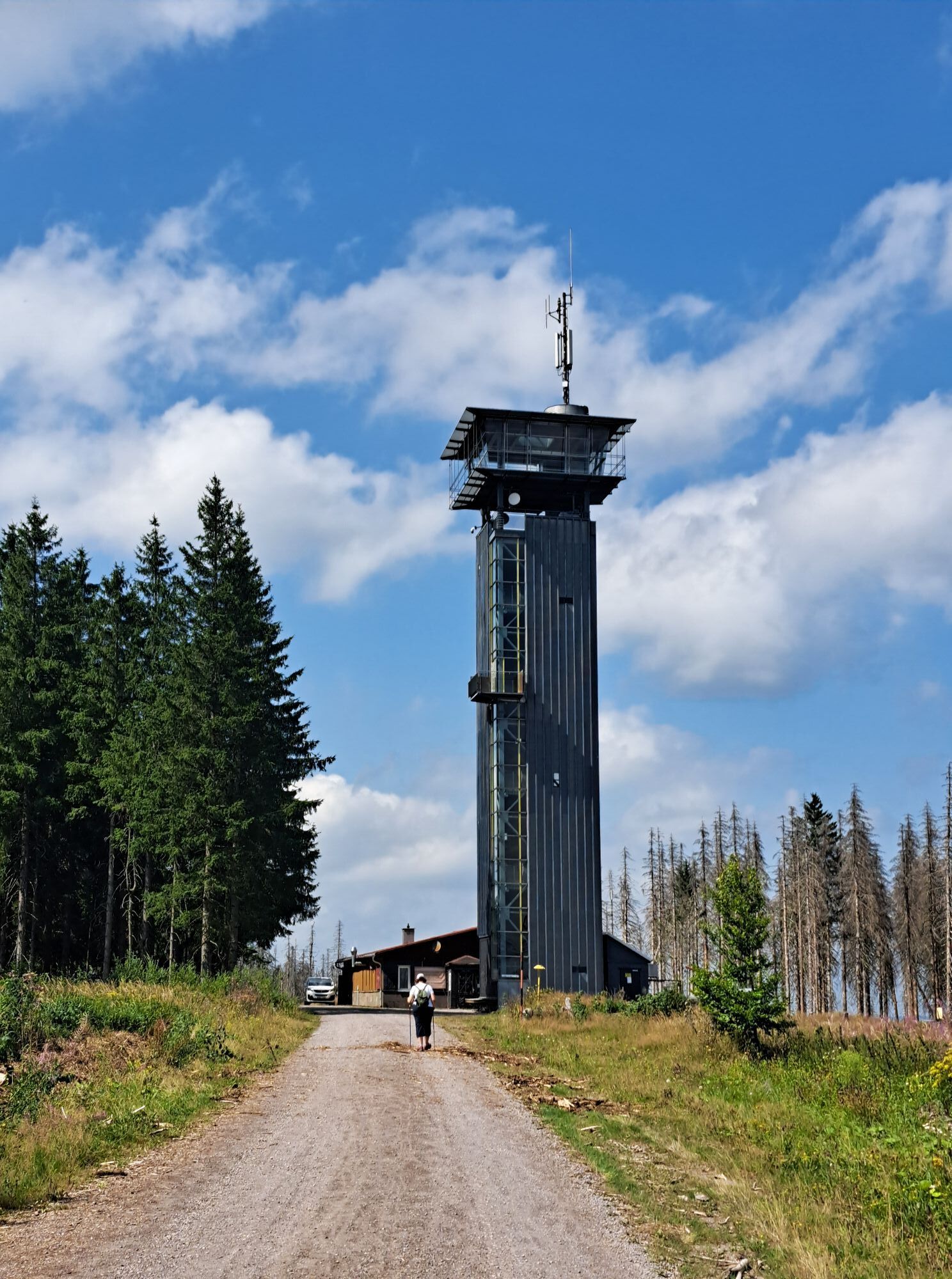
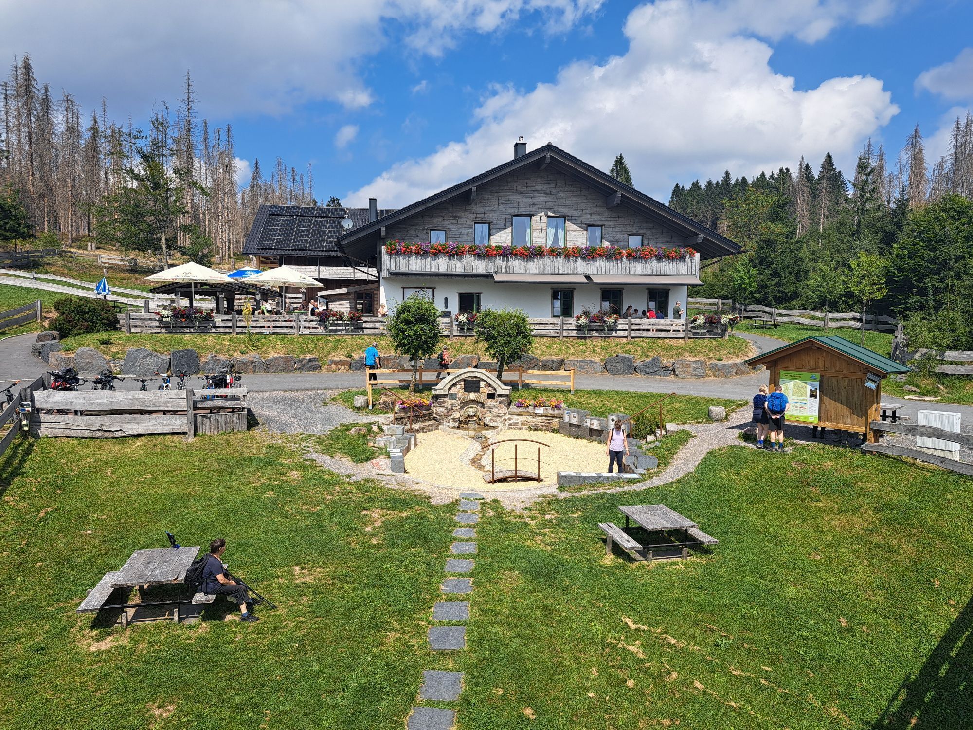
Start in the center of Neustadt am Rennsteig heading towards Frauenwald on the Rennsteig. After approx. 1.5 km, turn left onto a forest path downhill to the Schönbrunn Drinking Water Dam. From there, continue...
Start in the center of Neustadt am Rennsteig heading towards Frauenwald on the Rennsteig. After approx. 1.5 km, turn left onto a forest path downhill to the Schönbrunn Drinking Water Dam. From there, continue along the old construction road to the dam and then down into the village of Schönbrunn. In the village center, turn right and then immediately left towards the Schönbrunn swimming pool. Follow Schnetter Street uphill to Simmersberg Schnett. Enjoy the magnificent views in all directions from the heights there. Proceed along the "Hohe Straße" towards Heubach. Before the village, turn left to Masserberg. Just before reaching Masserberg, you rejoin the Rennsteig. Ride along the main road following the Rennsteig and follow the circular path to the Werra Source. Back in Masserberg, ride through the village and then along the road back to Neustadt am Rennsteig.

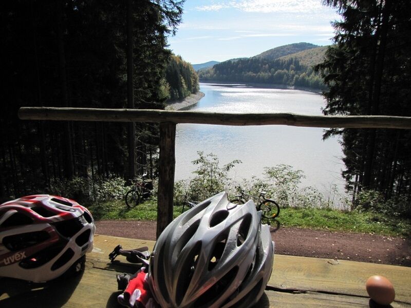
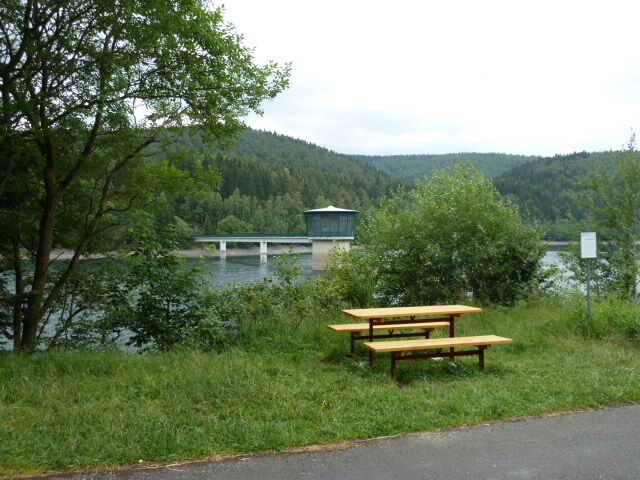
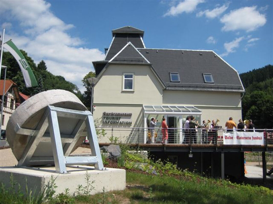
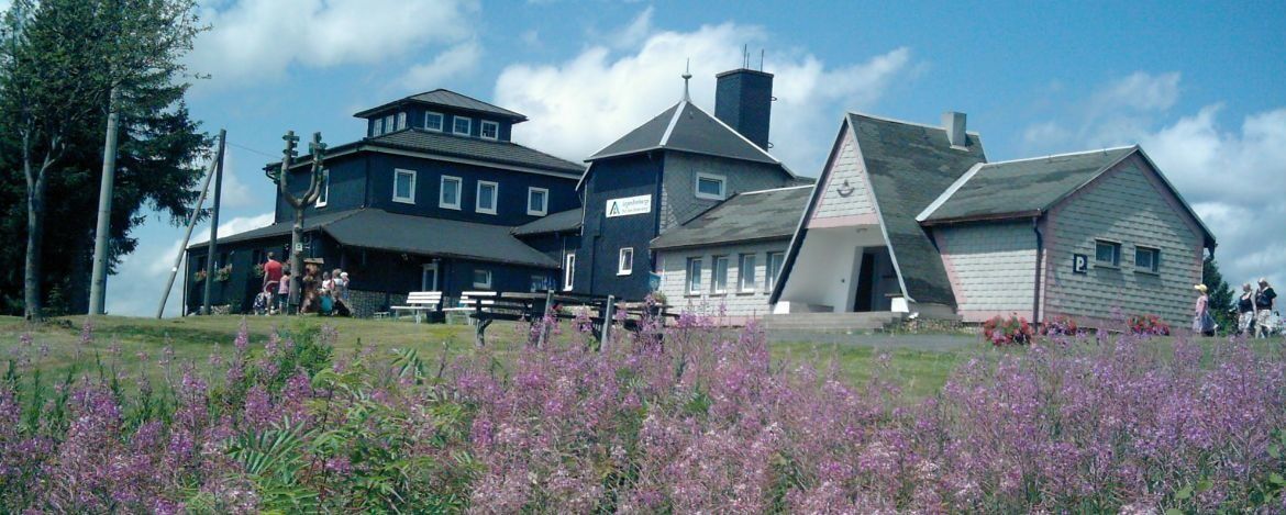
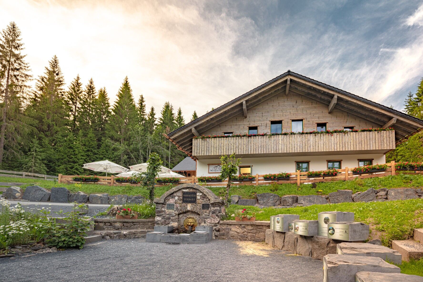
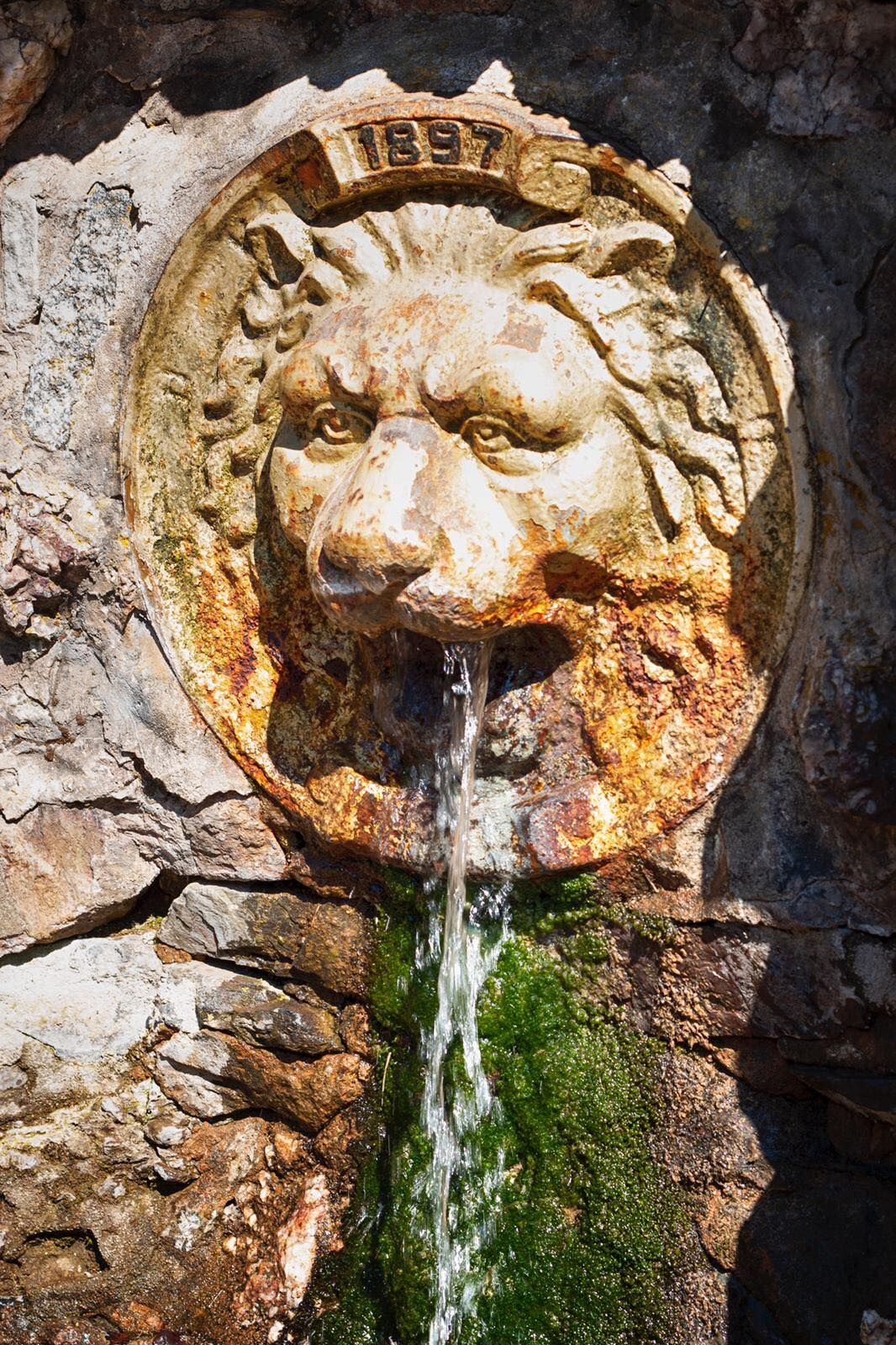
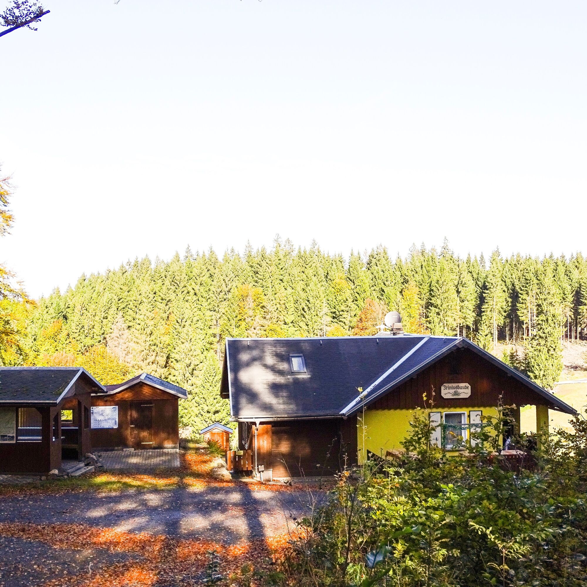

Neustadt am Rennsteig - Schönbrunn Drinking Water Dam - Schönbrunn - Schnett - Simmersberg - Hohe Straße - Rennsteig - Masserberg - Werra Source - Rennsteigwarte - Masserberg - Rennsteig - Neustadt am Rennsteig
Áno
Touring bike, mountain bike, e-bike
Always pay attention to the traffic safety of your bike.
The bike path partly runs on public roads. Watch out for other road users and ride cautiously!
Especially in the hot summer months, always carry some water with you to prevent dehydration. A sunscreen with a high SPF is also recommended.
Northern access:
via the A71 exit Ilmenau West, directly 16 km to Neustadt am Rennsteig
via the A71 exit Ilmenau East, 19 km via Gehren and Möhrenbach to Neustadt am Rennsteig
Southern access:
via the A73 exit Eisfeld North, 20 km via Waffenrod-Hinterrod and Masserberg
via A71 Suhl/Zella-Mehlis, 30 km via Suhl and Schmiedefeld am Rennsteig
You can reach Ilmenau with the trains of Deutsche Bahn and Erfurt Railway.
For detailed travel information, please use the Deutsche Bahn travel portal.
Bus Line 304 from Ilmenau to Neustadt am Rennsteig (daily)
Bus Line 209 from Eisfeld via Masserberg to Neustadt and back (daily)
Parking lot at the Rennsteig information center (around the community center "Kammweg" Neustadt am Rennsteig) (Google NAV point)
3
Visit:
Rennsteig Museum Neustadt am Rennsteig
Spice Museum Schönbrunn
Rennsteigwarte Masserberg
Webové kamery z prehliadky
Získajte prehľad
Vždy naživo na mieste s viac ako 9 500 webovými kamerami. bergfex Ako používateľ Pro si teraz môžete pozrieť príslušné webové kamery pre mnohé zájazdy v aplikácii zájazdy z. Môžete si tak priamo prezerať aktuálne podmienky.
Obľúbené výlety v okolí
-
5,0
Naturlehrpfad Gießübler Schweiz
strednáTuristika 7,99 km -
3,0
Circular hike - "4 ponds hike" Neustadt am Rennsteig - Thuringian Forest
ťažkéTuristika 12,6 km -
3,8
Rundweg Talsperre
strednáCyklistika 14,5 km -
The Rennsteig - long-distance hiking trail from Hörschel to Blankenstein - Thuringian Forest
ťažkédiaľková pešia trasa 169,0 km -
5,0
Circular hiking route - TOP 1 - Werra Source - Masserberg - Thuringian Forest
strednáTuristika 5,94 km -
5,0
Rundtour Staudamm
svetloTuristika 3,91 km -
5,0
Circular hike - To the Schönbrunn Dam - Frauenwald
strednáTuristika 15,1 km -
Circular route - "When Rennsteig meets the Schwarzatal panorama path" - Limbach
strednáTuristika 9,68 km -
5,0
Circular hiking trail around the Langebachtal - Thuringian Forest
strednáTuristika 12,2 km -
5,0
Circular hiking trail - Dwarf trail Frauenwald - Thuringian Forest
svetloTuristika 4,02 km
Turistika a stopovanie


Nenechajte si ujsť ponuky a inšpiráciu na ďalšiu dovolenku
Vaša e-mailová adresa bol pridaný do poštového zoznamu.





