







Schmalkalden Dolmar summit route

Úroveň náročnosti: 2
This route is part of our Schmalkalden bike routes series and impressively shows what cycling romances the Thuringian Forest has in store with Schmalkalden as the starting point. You follow the signposted...
This route is part of our Schmalkalden bike routes series and impressively shows what cycling romances the Thuringian Forest has in store with Schmalkalden as the starting point. You follow the signposted bike path "Stiller Grund" via Wuhlheide up the east slope of Dolmar. Returning via Metzels and Oberwallbachsmühle, we reach Schmalkalden again via Herrenkuppe.

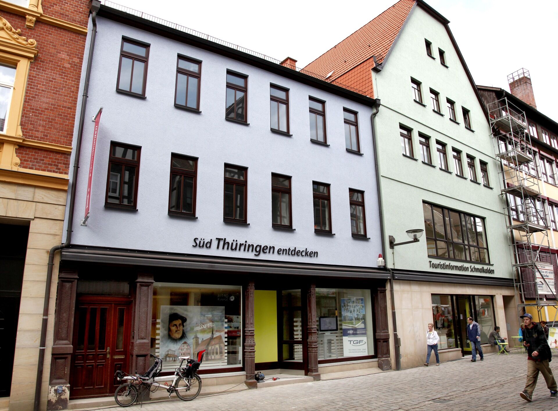

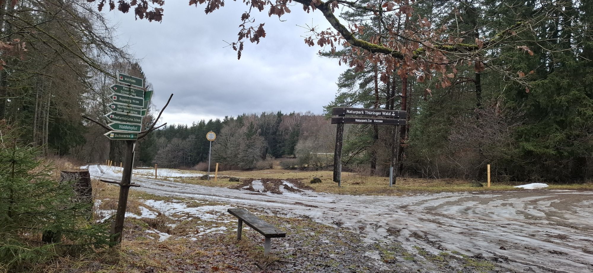
From Altmarkt head towards the University of Applied Sciences and at the Nährstille outdoor pool onto the signposted Stille Grund bike path. Past the Springstiller sports ground, ascend towards Wuhlheide, following the bike path on the first hill on the right all the way to Wuhlheide (small houses and allotment gardens).
Follow the main path downhill via Steinrücke and Tellerberg to Schwarza. In the village, cross the road between Schwarza and Christes and over the narrow steel bridge. Immediately right and then follow the signs to Dolmar. About 1 km before the summit, you reach the paved road. From the summit, you can either ride 600 m back and then sharply left follow the signs to Metzels (do not return to the point where you entered the paved road). The path runs about 600 m along a contour line before you meet a trail coming steeply from the left. This trail goes directly down from the summit (for the trail riders among you). Together you now follow this trail downhill (right turning for the normal route or straight for the direct variant). The trail splits once (both ways are passable) and then meets a meadow (on the left). You can follow the trail for about another 100 m before the main path comes or ride left across the meadow to the main path.
Follow this path, going straight past the shelter and turn onto the paved road to Metzels (left). In Metzels always follow the bike path towards Oberwallbachsmühle.
There cross the water and then go right uphill. Keeping right to the Karl-Heinz-Schädel monument and continue along the main path above the pond. Always straight ahead until you reach a T-junction where you turn right back to Dolmar. From there continue straight to Henneberger Haus (last opportunity for refreshment). Then descend the emergency road until you reach the University of Applied Sciences again.
Áno
Áno
Trekking or mountain bike as well as bike helmet, glasses and gloves. Enough to drink as well as change clothes, first aid kit and emergency equipment for repairs (tools, tube, pump, patch kit, brake pads)
We always recommend wearing a bicycle helmet. In addition, wearing bike glasses and gloves is always advisable. Pay attention to sufficient supplies (fluids) and weather-appropriate clothing (rain jacket).
Respect for each other and nature is the be-all and end-all of outdoor sports.
Schmalkalden train station or Schmalkalden University of Applied Sciences (direct entry) possible
Use designated parking spaces in Schmalkalden
2
You are welcome to rent your equipment at Sportwelt Oberhof. We also deliver it to your accommodation in Schmalkalden (also for e-bikes).
www.sportwelt-oberhof.de
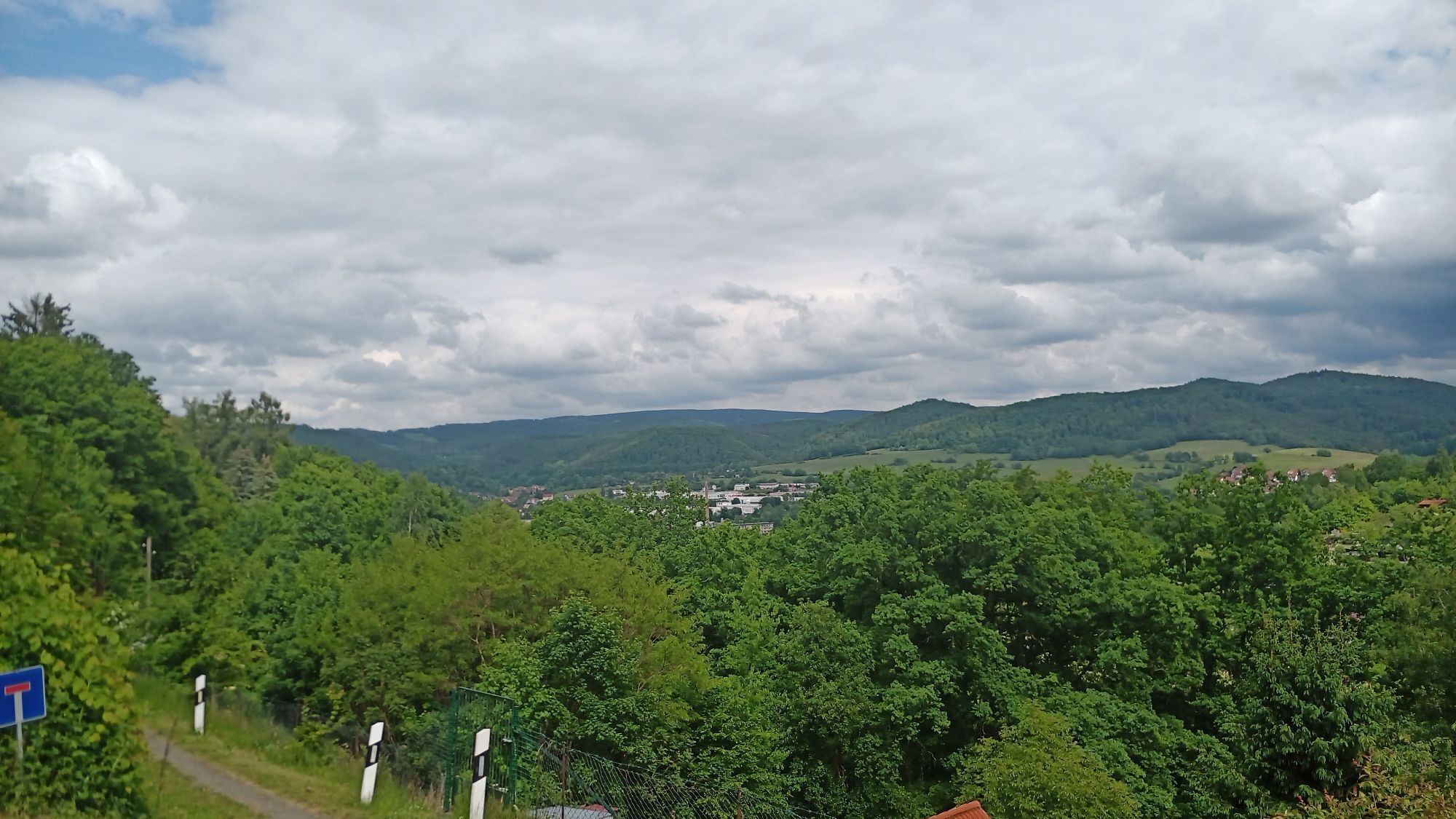
From Wuhlheide you have a beautiful view over the Hasel valley with Hallenburg and the Rennsteig, it is worth pausing briefly.
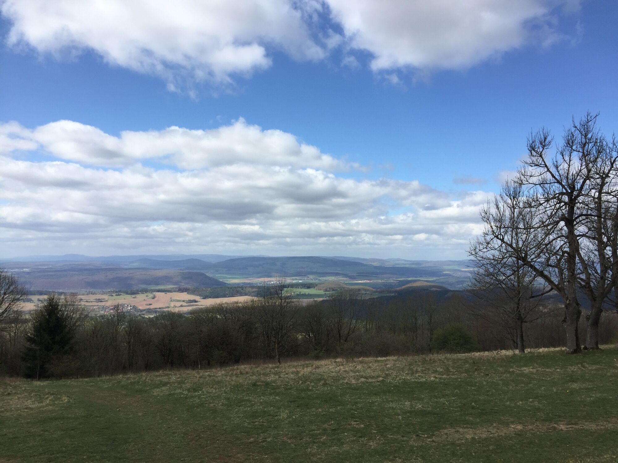
Those who master the ascent to Dolmar get a panoramic view in every direction. Even while climbing you can already see the Inselberg in the northeast with its towers, and once you reach the summit and look south/west, the Werra valley and the Rhön show themselves in their full splendor. Don't forget to plan a stop at Charlottenhaus, regional dishes and homemade cakes. (Little tip: On the north slope of Dolmar there is delicious wild garlic in spring)
A stop at Oberwallbachsmühle for a short refreshment before the last ascent is always recommended.
About one kilometer after the mill, there is a small pond on the right side. Here at the Karl-Heinz-Schädel monument there is a small rest area before the last ascent.
Webové kamery z prehliadky

Obľúbené výlety v okolí
-
4,0
Circular hiking route "Oberschönauer Felsenwanderung" - Steinbach-Hallenberg - Thuringian Forest
ťažkéTuristika 12,0 km -
4,5
Circular hiking route - EXTRATOUR - The Meininger
strednáTuristika 10,8 km -
4,0
Zu den Schanzen im Kanzlersgrund
strednáTuristika 9,58 km -
4,2
Circular hiking route - "Zunft & Kloß" - Zella-Mehlis - Thuringian Forest
ťažkéTematická trasa 6,83 km -
Circular hiking route - Ruppberg - Thuringian Forest
strednáTuristika 11,4 km -
4,5
Legend hiking trail to Ruppberg - Zella-Mehlis - Thuringian Forest
strednáTematická trasa 1,34 km -
4,0
Hike - Rennsteig - Stage 3 - From Ebertswiese to Grenzadler
strednáTuristika 17,4 km -
4,5
Circular hiking route - "Great Eight" Steinbach-Hallenberg - Thuringian Forest
strednáTuristika 10,1 km -
5,0
Circular hiking trail "Veilchenbrunnen - Ski Jumps at Rennsteig" - Oberhof
strednáTuristika 11,6 km -
5,0
Circular route - "Three Hut Route" - Steinbach-Hallenberg - Thuringian Forest
strednáTuristika 9,93 km
Turistika a stopovanie


Nenechajte si ujsť ponuky a inšpiráciu na ďalšiu dovolenku
Vaša e-mailová adresa bol pridaný do poštového zoznamu.





