







Cycle route - circular route through the Rinne and Schwarzatal valleys - Thuringian Forest
Úroveň náročnosti: 3
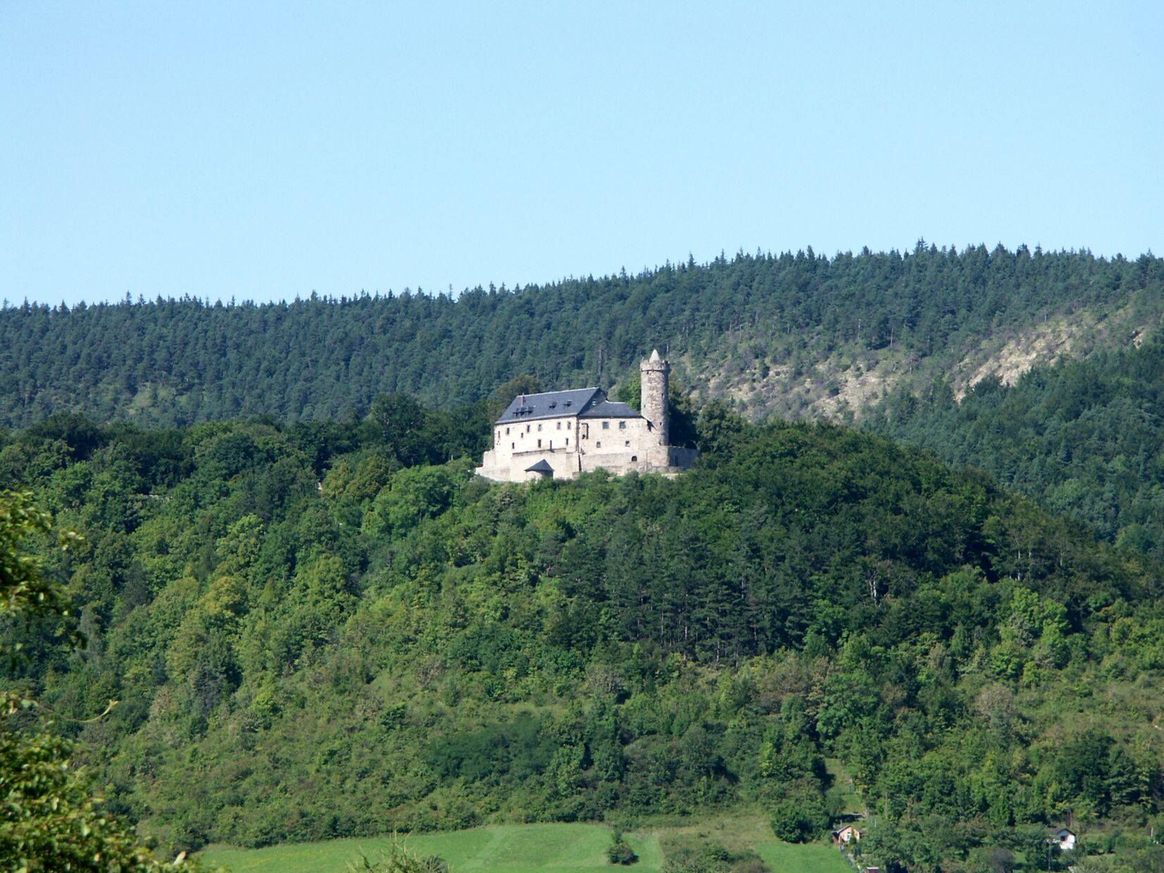
The starting point of this cycling tour is Bad Blankenburg, also known as the gateway to the Schwarzatal and birthplace of the kindergarten. High above the town towers the Greifenstein Castle, the most...
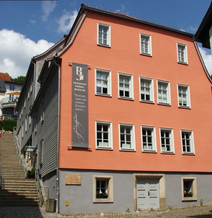
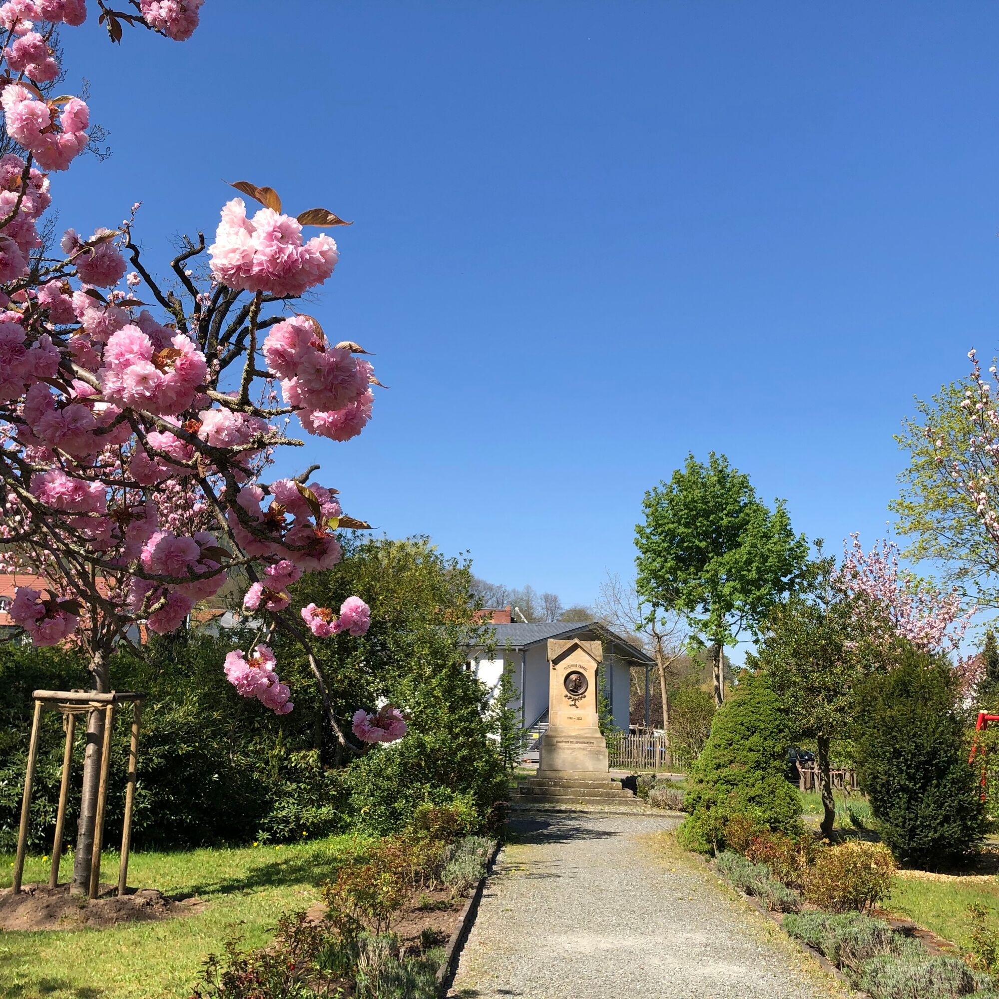
The starting point of this cycling tour is Bad Blankenburg, also known as the gateway to the Schwarzatal and birthplace of the kindergarten. High above the town towers the Greifenstein Castle, the most striking landmark of Bad Blankenburg. The castle complex is one of the largest of its kind and houses a falconry from April to October. In 1840, the Thuringian educator Friedrich Fröbel founded the world’s first kindergarten here. The exhibition in the Fröbel Museum illustrates Friedrich Fröbel’s life path and highlights his educational program for early childhood education.
The first part of the route leads about 8 km through the Rinne valley from Bad Blankenburg to Rottenbach. The cycling path runs mostly parallel to the railway line and passes some smaller villages. As there is no cycle path within Rottenbach, you must briefly use the main road to the railway crossing. Before the railway crossing, the path turns left again towards Bechstedt and Schwarzburg. Now the more strenuous part of the route begins. On an agricultural road, it slowly climbs towards Bechstedt, goes through the village, and then continues towards Schwarzburg. About 1 km behind Bechstedt at the "Bechsteder Tor" junction, the highest point of the tour is reached at 483 m above sea level. Before descending back into the Schwarzatal valley, you have the opportunity to take a short detour to the Trippstein viewpoint. It's worth it!
Upon reaching the upper district of Schwarzburg, at the roundabout turn left onto the road towards Bad Blankenburg. After about 600 m, turn right at the curve into the lower part of Schwarzburg and then follow the local road to the Schwarzabrücke bridge.
High above Schwarzburg on a rock spur towers Schwarzburg Castle with its armory and emperor's hall. In 1919, the place gained nationwide significance when Reich President Friedrich Ebert signed the Weimar Constitution here. Today, the "Path of Democracy" and a memorial plaque inform about this event.
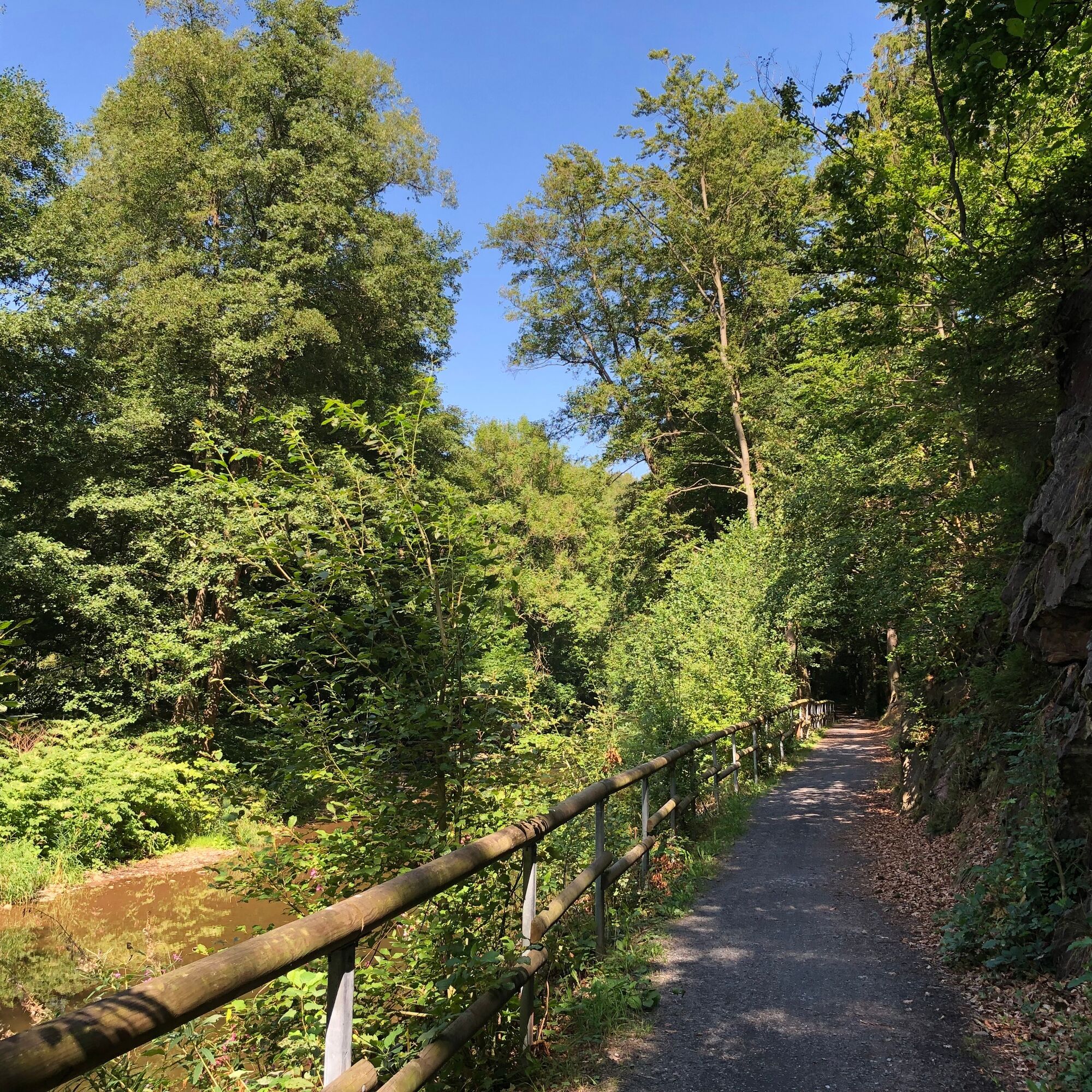
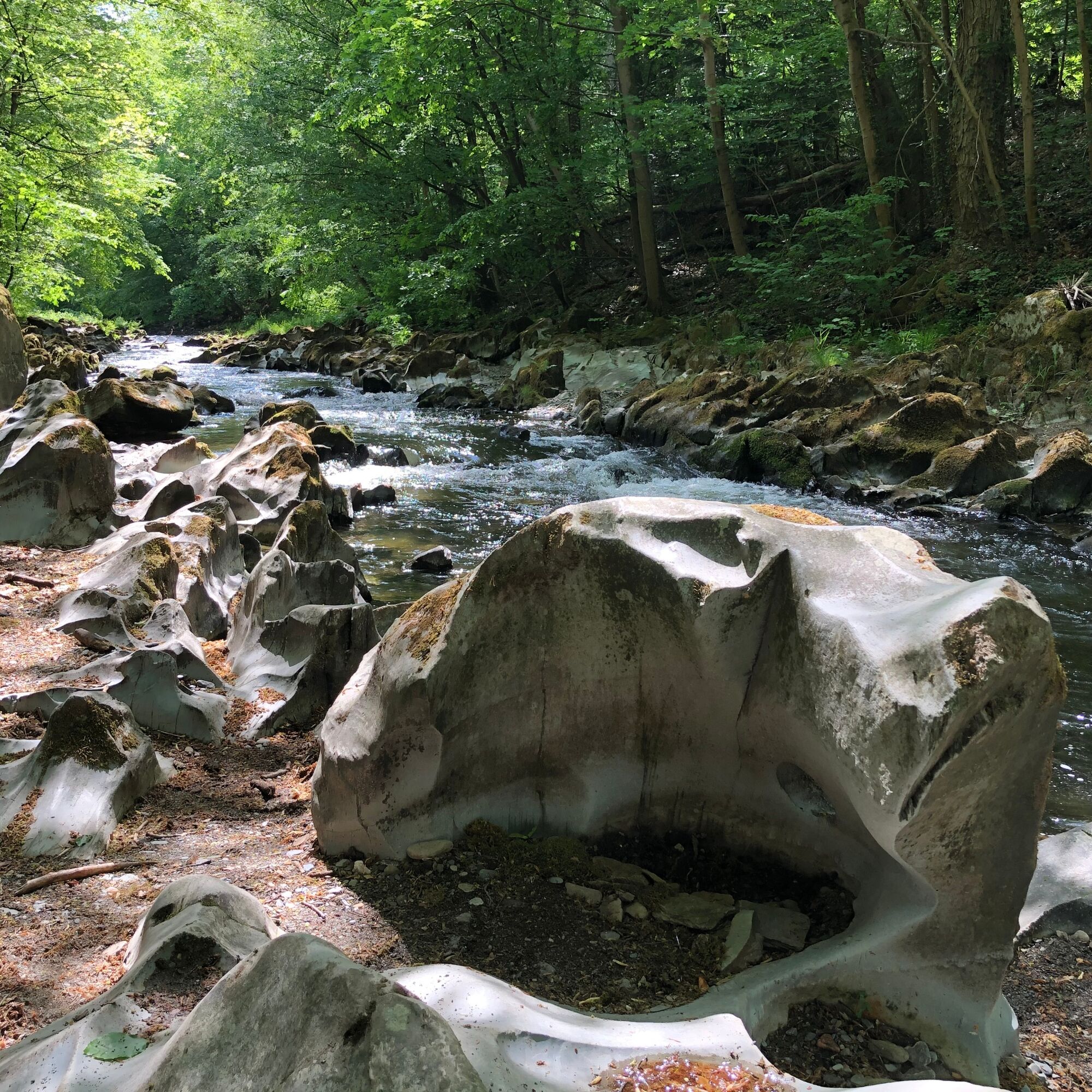
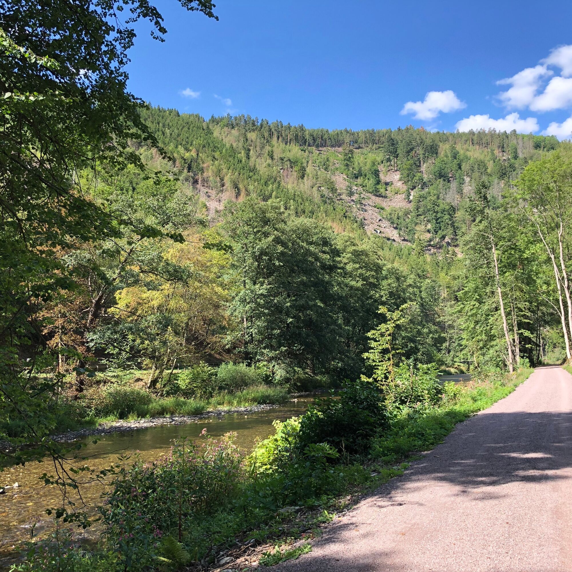
After crossing the Schwarzabrücke, turn left onto the Schwarzatal cycle path heading towards Bad Blankenburg. This path runs always along the Schwarza river, through the wild and romantic Schwarzatal valley, until you reach your starting point in Bad Blankenburg again after about 10 km. Along the way, in addition to steep rock cliffs, you can also find geological features called swirl pots, which can be seen in places in the riverbed of the Schwarza.

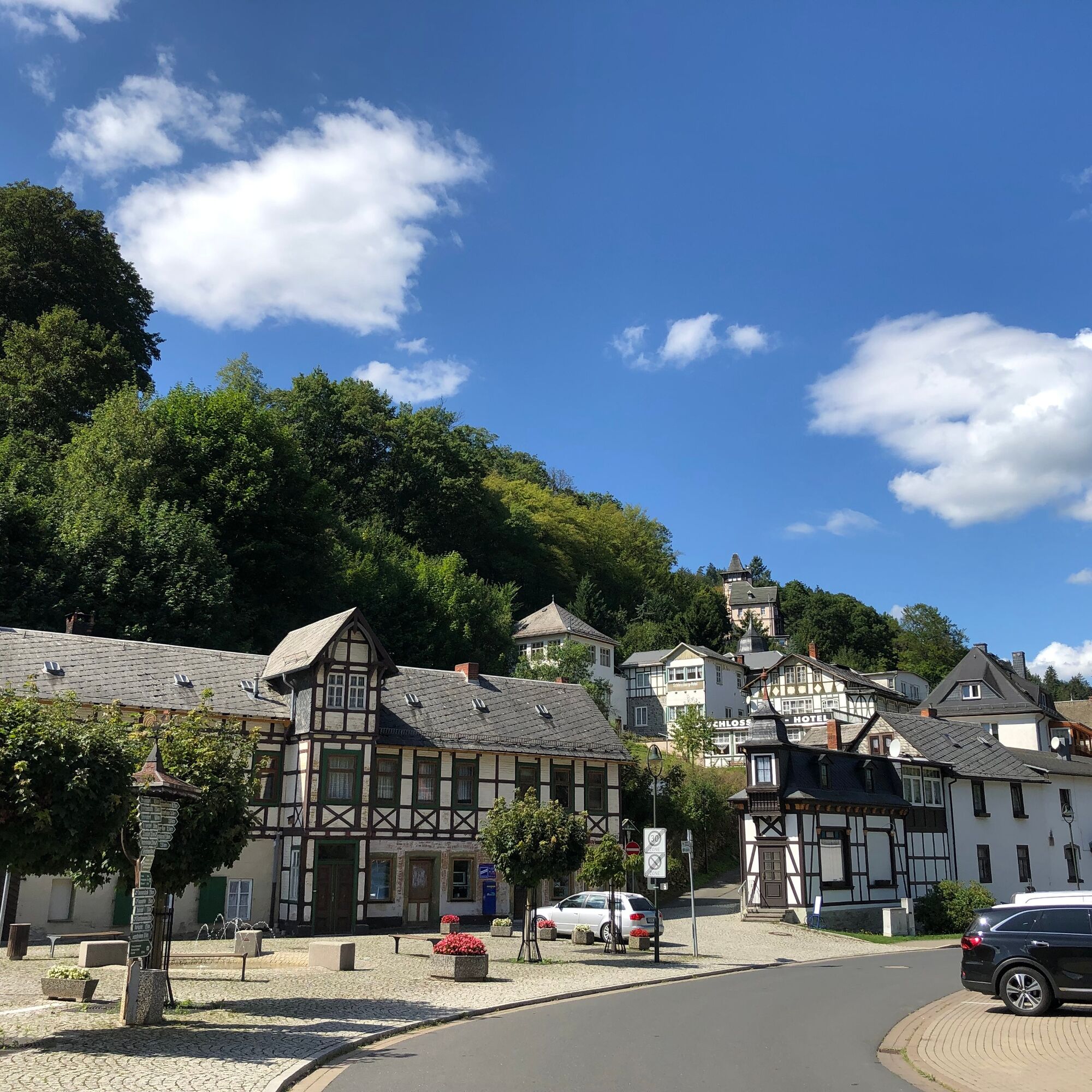
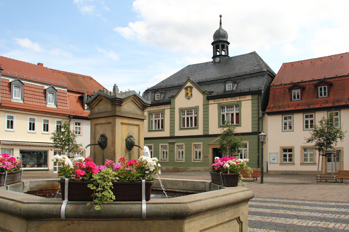
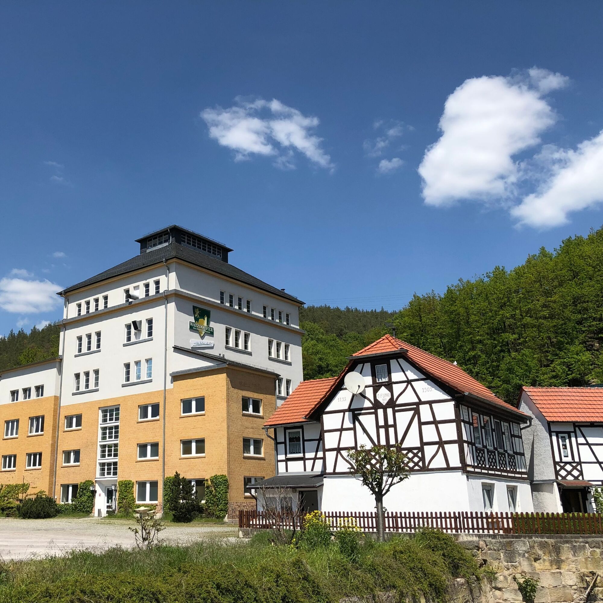
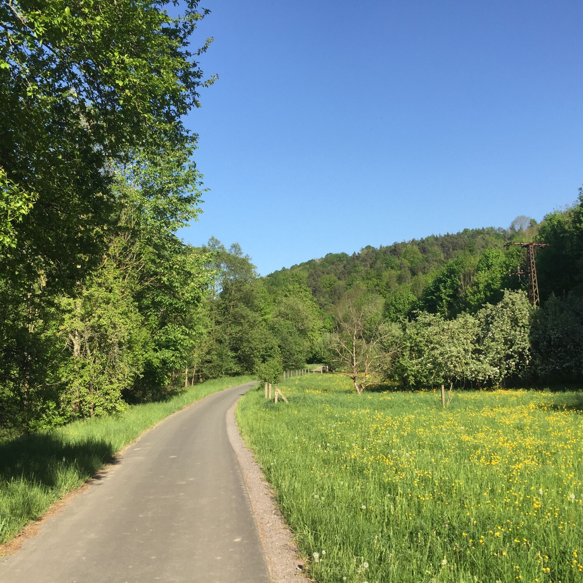
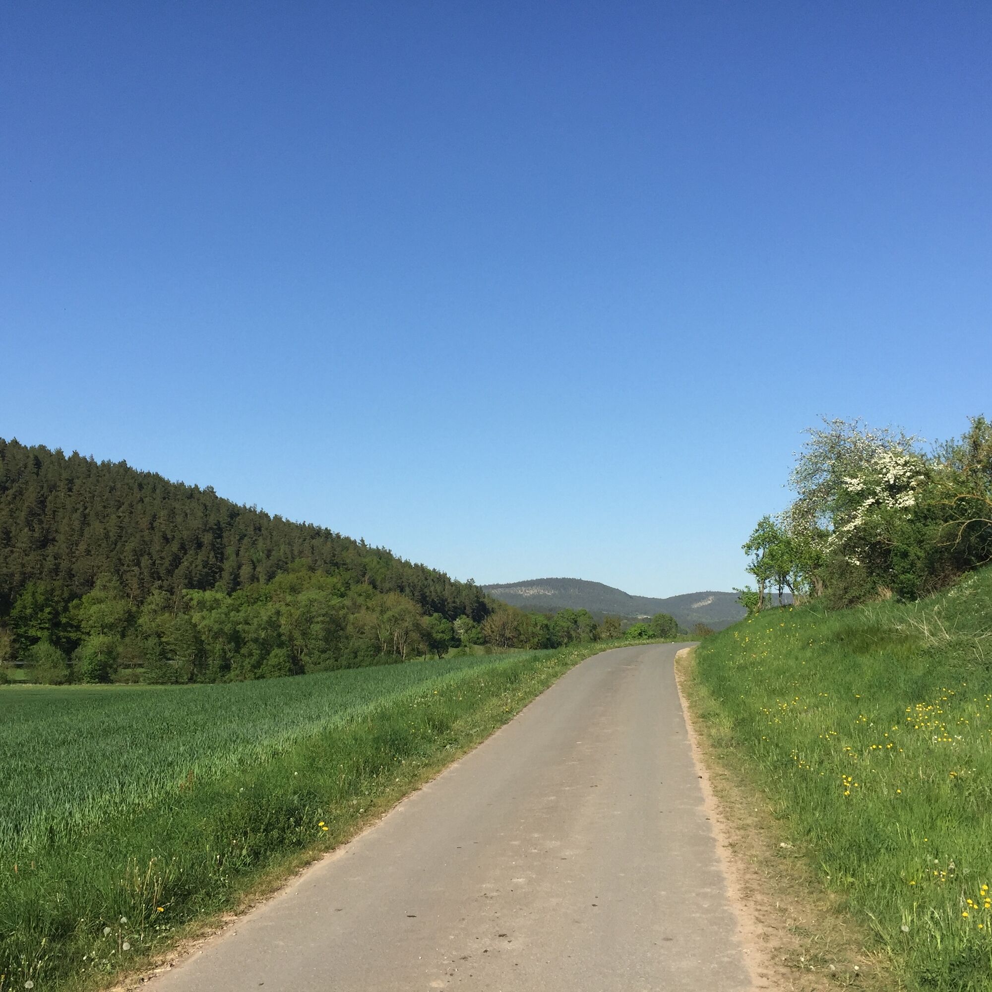
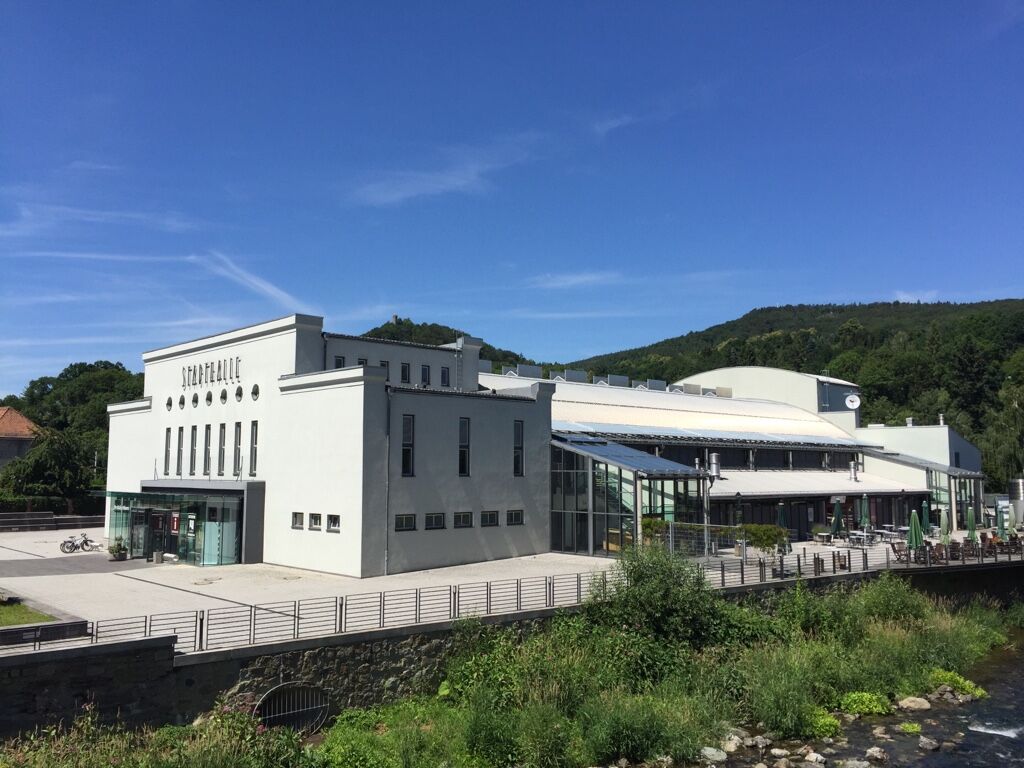

Bad Blankenburg (car park at the Stadthalle) - Old Town - Watzdorf - Leutnitz - Quittelsdorf - Rottenbach - Bechstedt - Schwarzburg - Schweizerhaus - Bad Blankenburg (car park at the Stadthalle)
Áno
Bicycle helmet
First aid kit
Drink supply
GPS navigation device or smartphone
Please ensure your bicycle is equipped for road safety.
Coming from the A71, take exit 14b (Stadtilm) and then continue on the B90n towards Rudolstadt. In Rudolstadt, switch to the B85 / B88 and head south towards Saalfeld / Bad Blankenburg. Immediately at the Schwarzamündung, the B88 turns right towards Bad Blankenburg.
P1 - Stadthalle (Under the hill)
The car park is located directly next to the Stadthalle (Google NAV point)
3
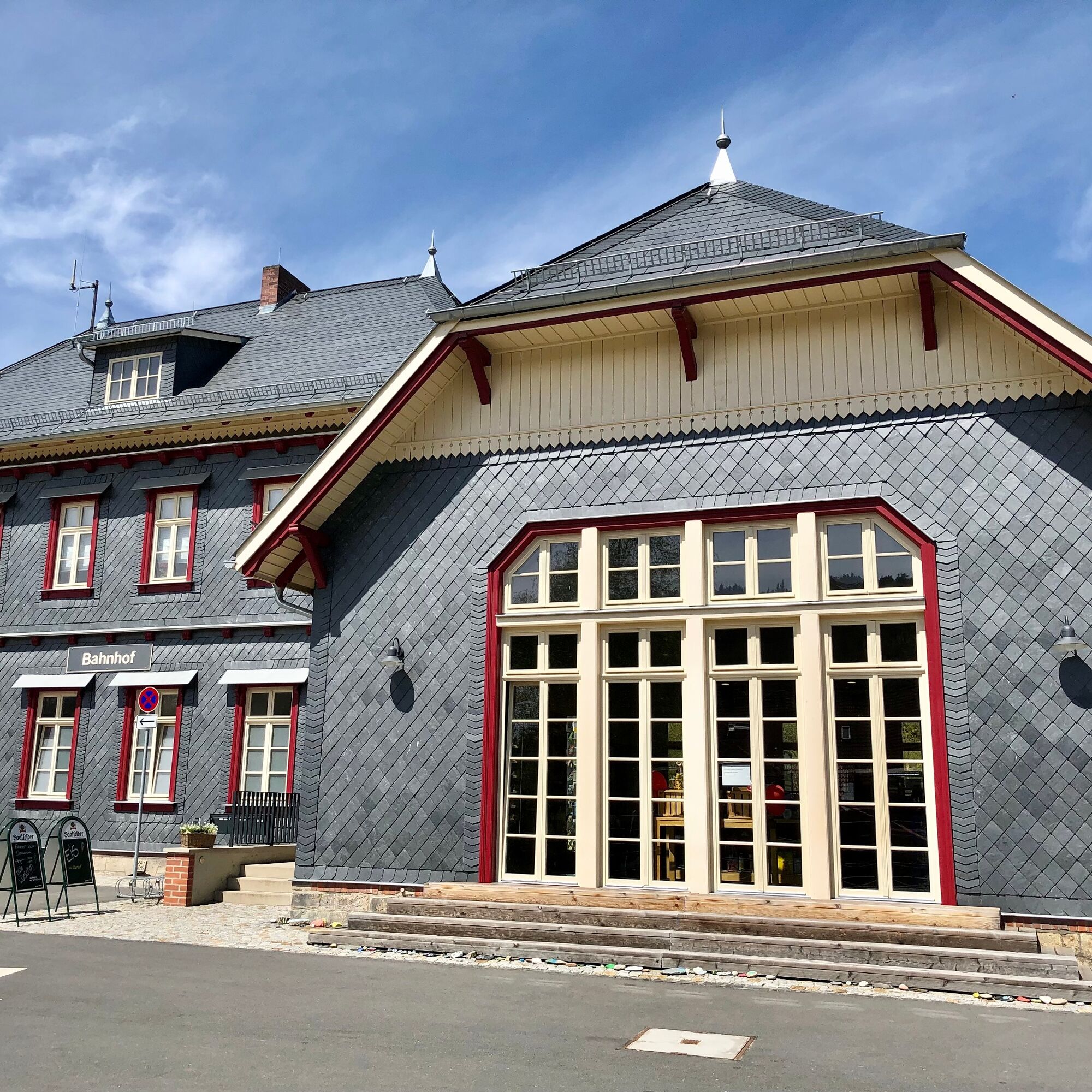
- Rottenbach station shop: Here you can purchase not only local specialties but also delicious ice cream, as well as coffee and cake to enjoy.
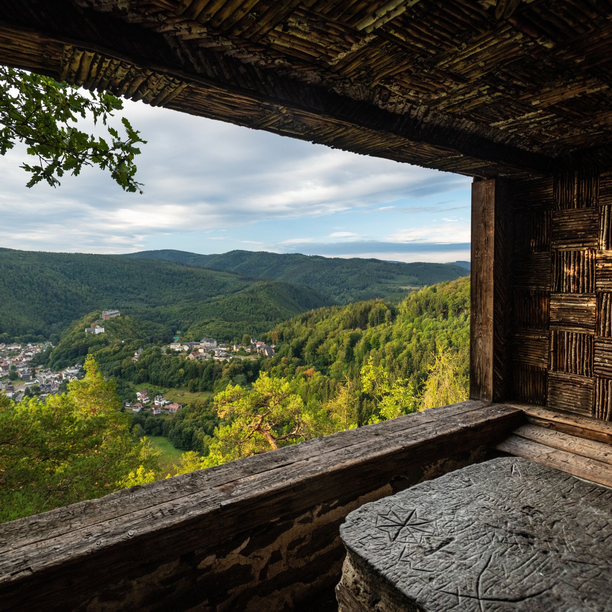
- Detour to Trippstein: A viewpoint between Bechstedt and Schwarzburg with a stunning view of Schwarzburg and the surroundings.
- Schwarzburg Castle with armory and emperor's hall
Obľúbené výlety v okolí
-
4,8
Circular hiking trail - "To the most beautiful viewpoints" - Thuringian Forest
strednáTuristika 12,8 km -
4,5
Circular route - “To the Strudel pots of the Schwarza” - Starting point at the Chrysopras weir - Bad Blankenburg
strednáTuristika 9,01 km -
Circular hiking trail - "Sculpture Trail" - Hiking start Unterweißbach - Thuringian Forest
strednáTuristika 24,4 km -
Circular hike - "Friedrich Fröbel" - Bad Blankenburg
ťažkéTuristika 14,4 km -
5,0
Meurasteine, Talsperre Leibis-Lichte
strednáTuristika 13,4 km -
Circular trail - Saugartenpfad - Hiking start at Chrysopraswehr - Bad Blankenburg
strednáTuristika 8,39 km -
Panoramaweg Schwarzatal - Stage 1 Schwarza to Schwarzburg - Thuringian Forest
ťažkéTuristika 15,4 km -
5,0
Kulm route
strednáTuristika 9,39 km -
5,0
Circular hiking trail - Nature educational path Lichtenhain - Hiking start Lichtenhain
strednáTuristika 8,08 km -
Circular hiking trail - To the Leibis/Lichte drinking water reservoir - Hiking start Lichtenhain
strednáTuristika 12,7 km
Turistika a stopovanie


Nenechajte si ujsť ponuky a inšpiráciu na ďalšiu dovolenku
Vaša e-mailová adresa bol pridaný do poštového zoznamu.





