


Road bike route - "Ohra Reservoir" - Thuringian Forest
Úroveň náročnosti: 4
Culture, water, forest, and mountains - this route is impressive both from a sports and landscape perspective. Starting in Arnstadt, you pass the always fascinating ensemble of the Drei Gleichen (Wachsenburg,...
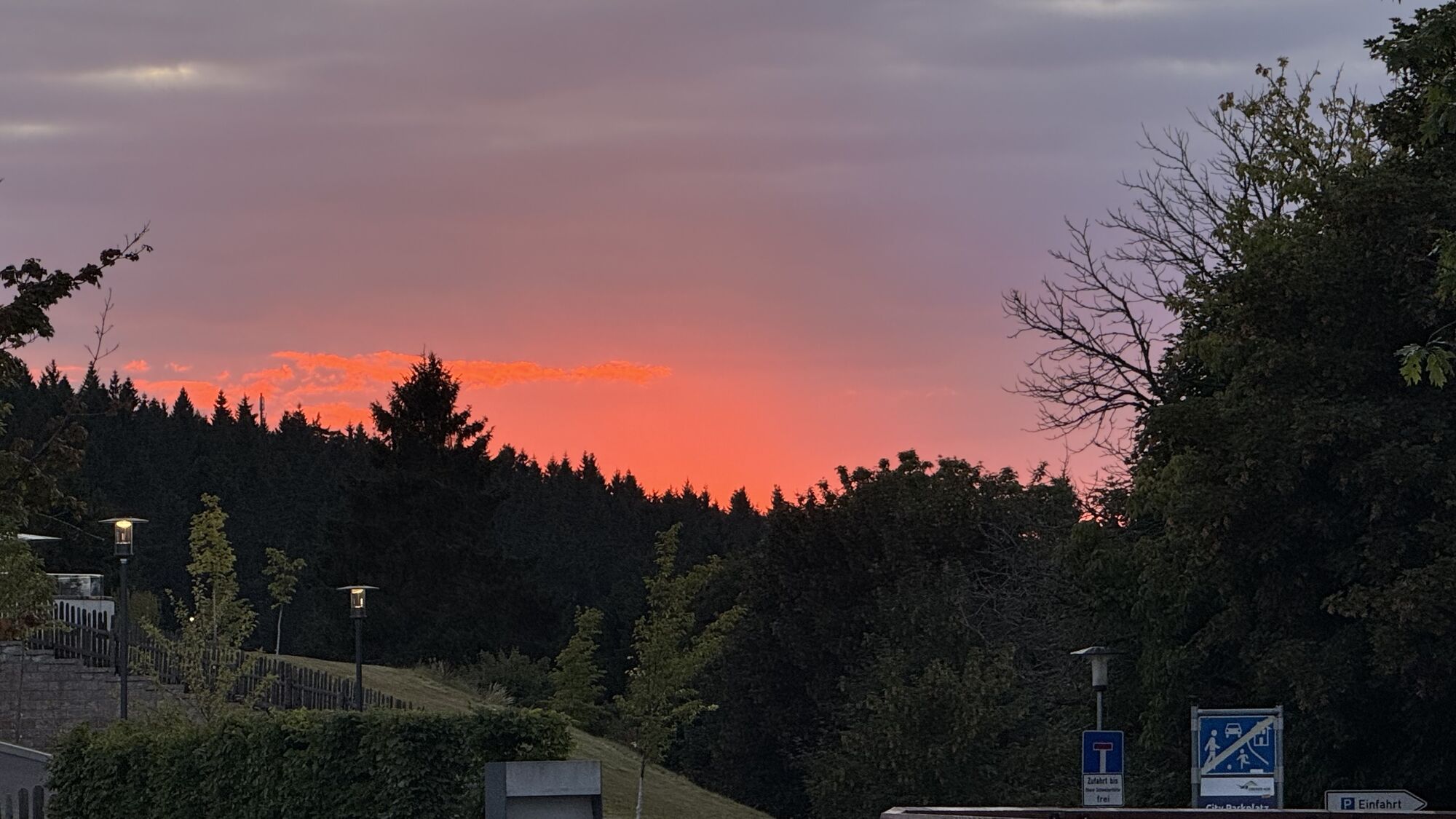
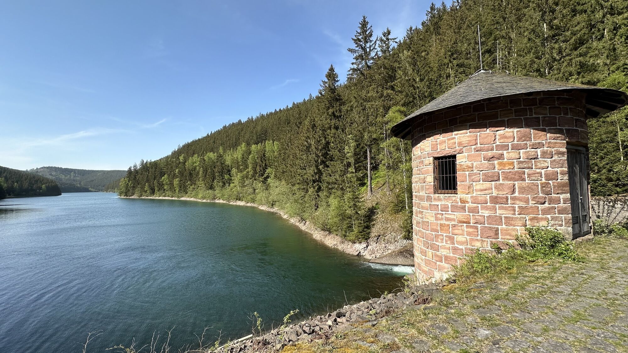
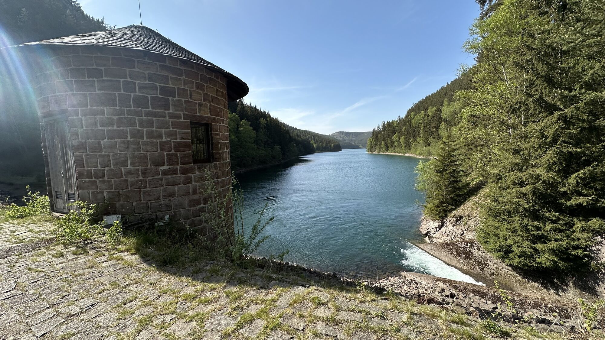
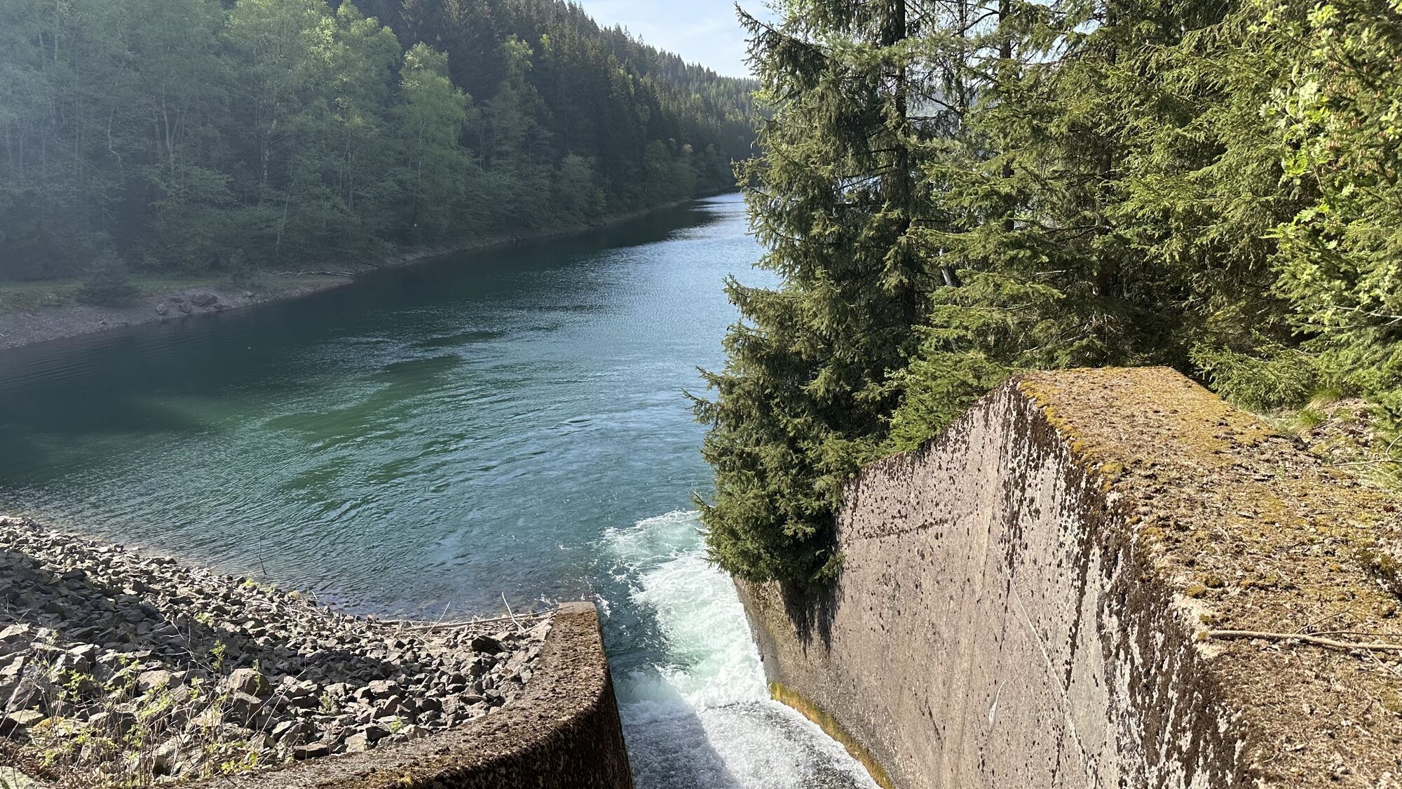
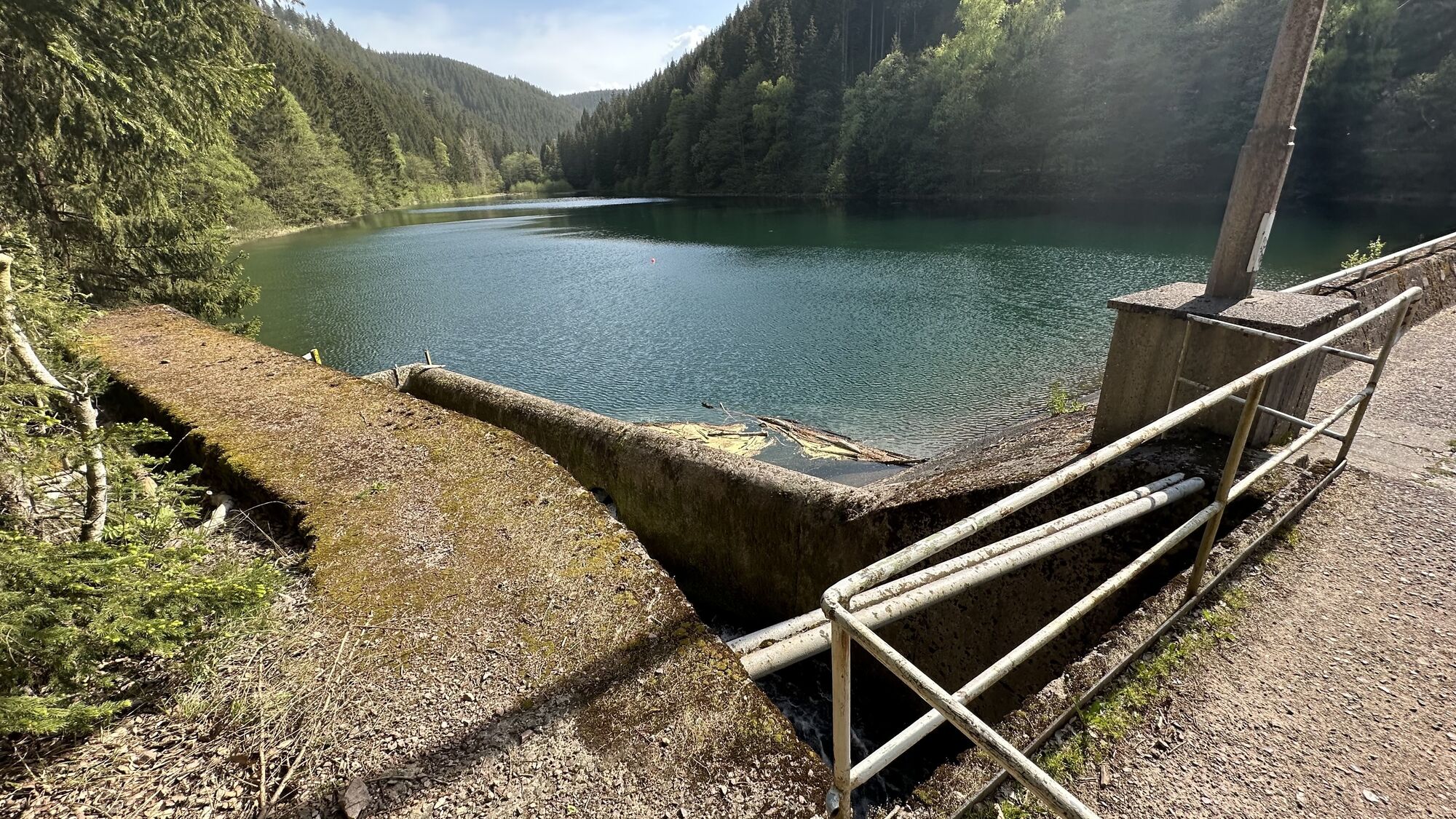
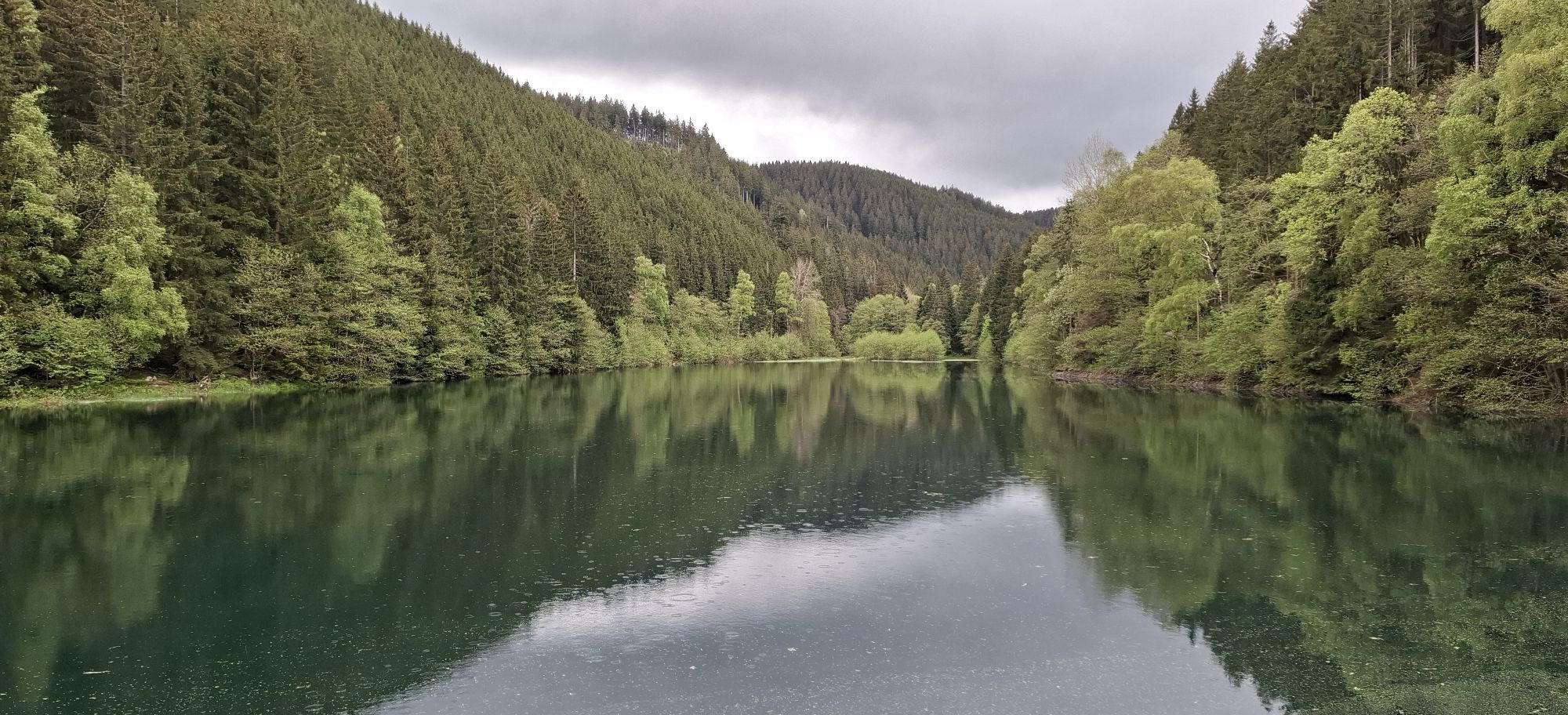
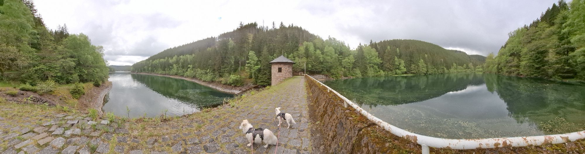
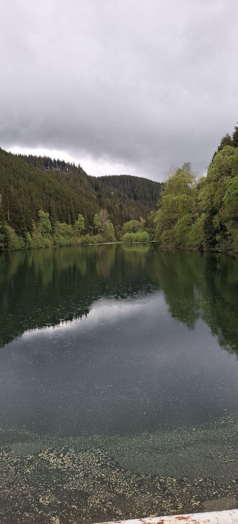
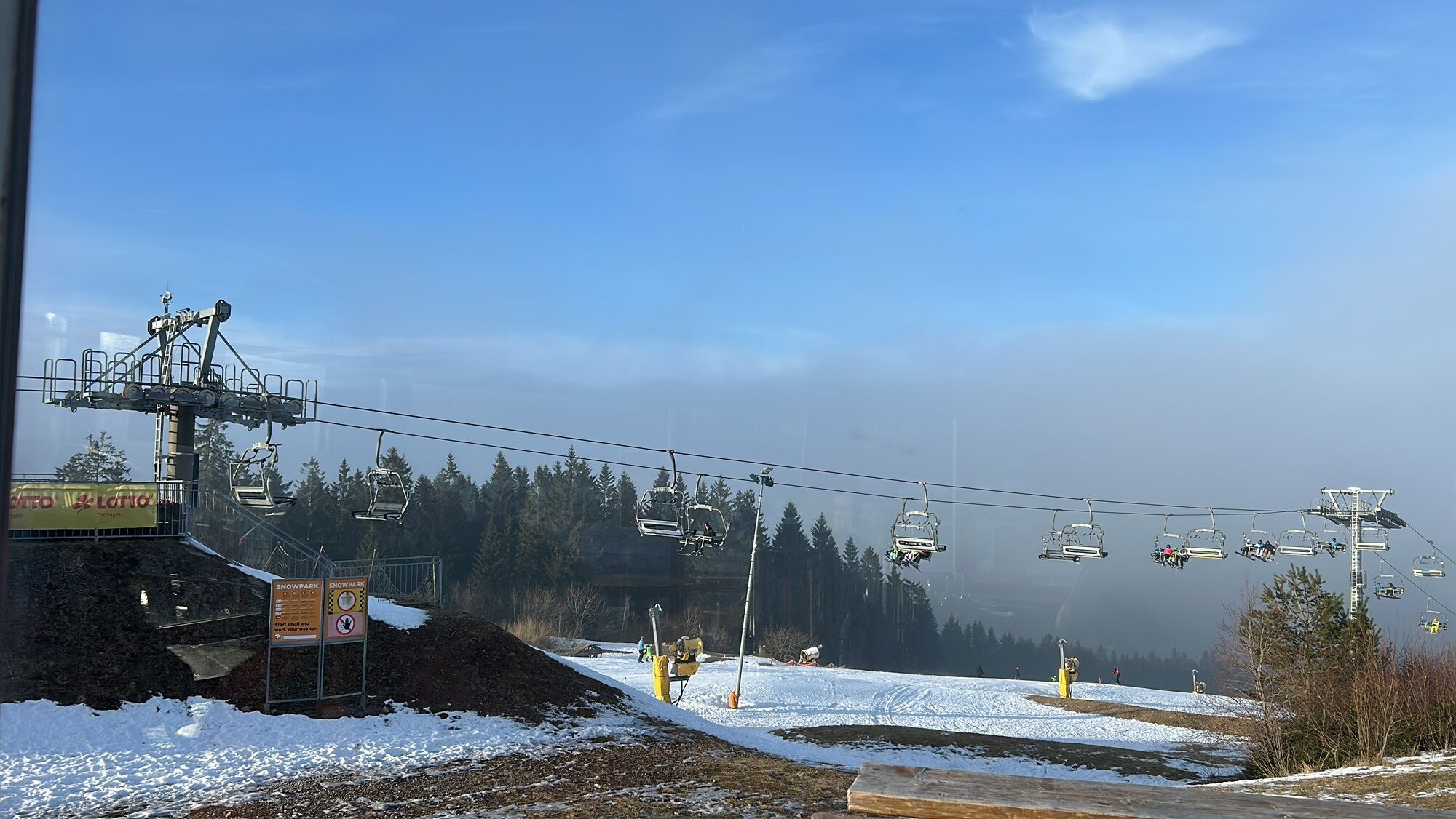
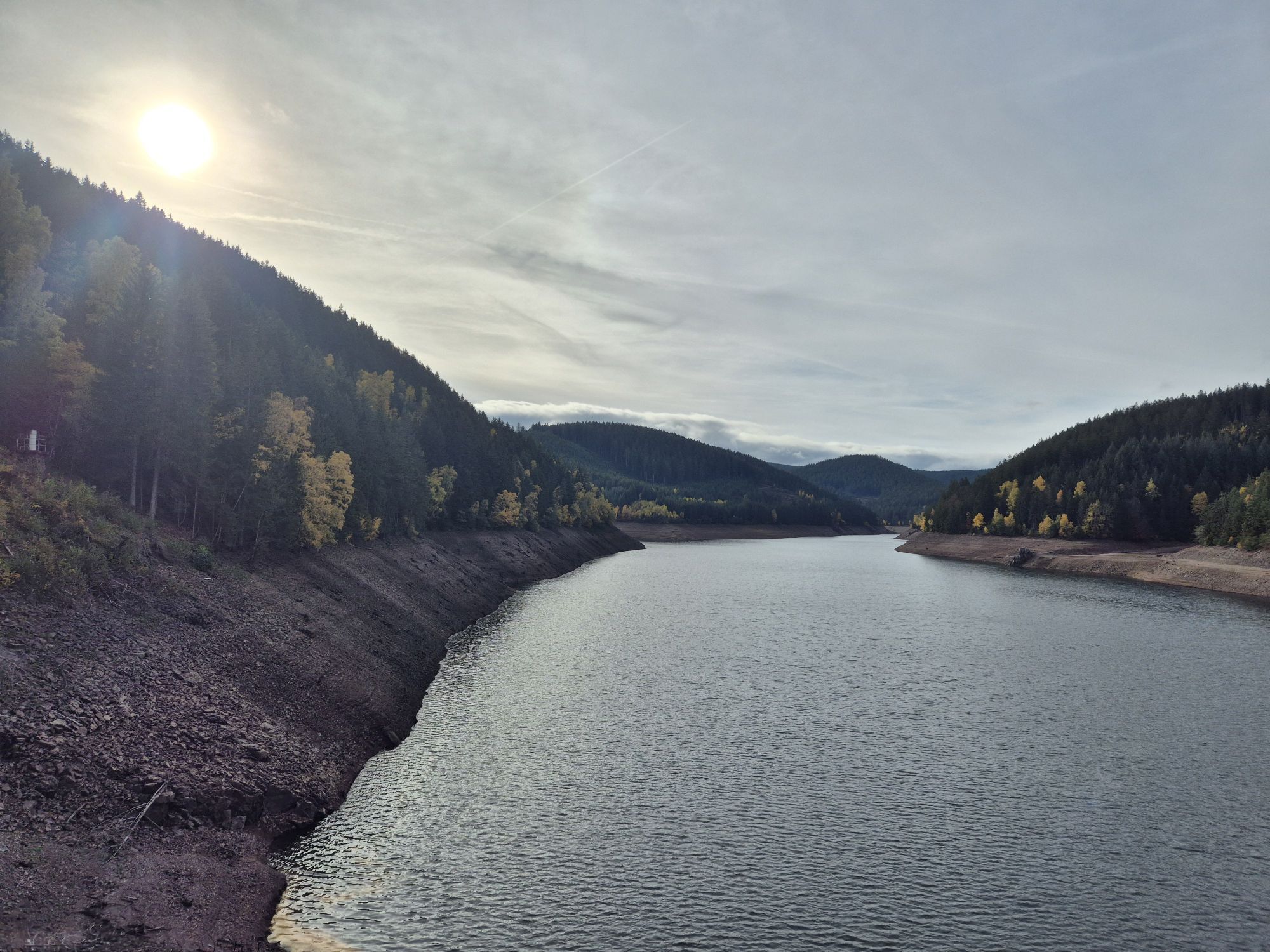
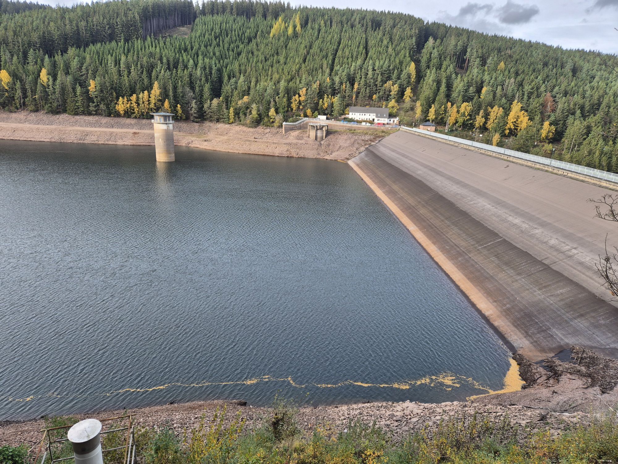
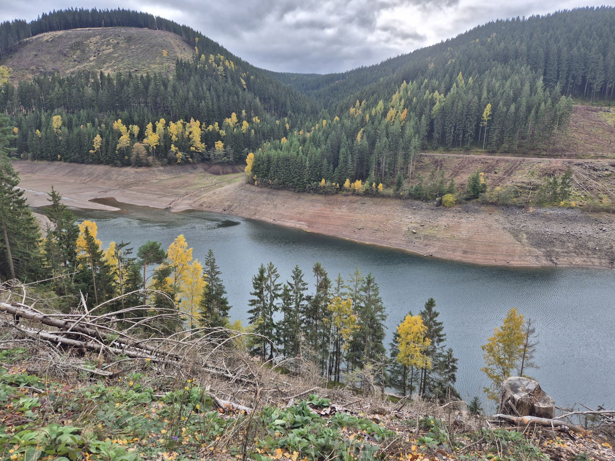
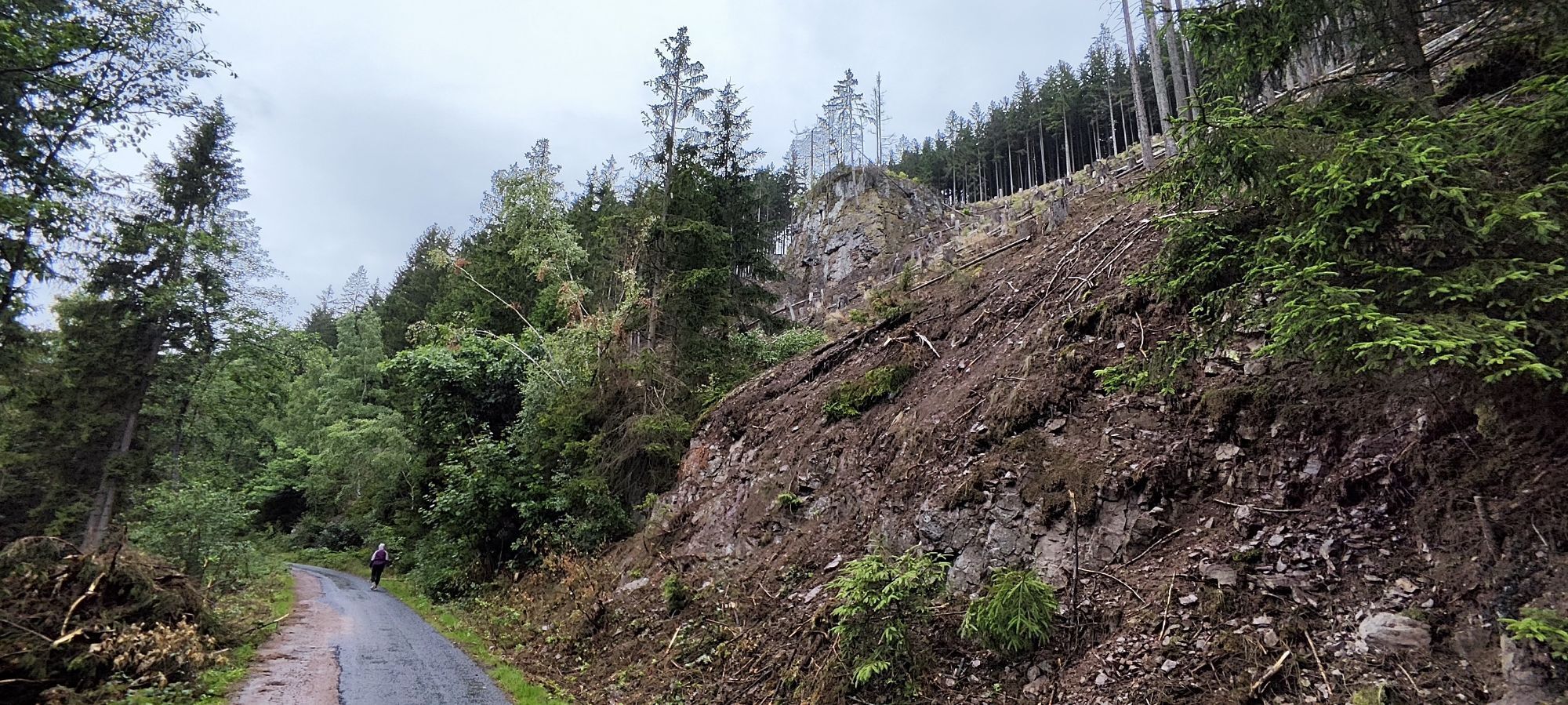
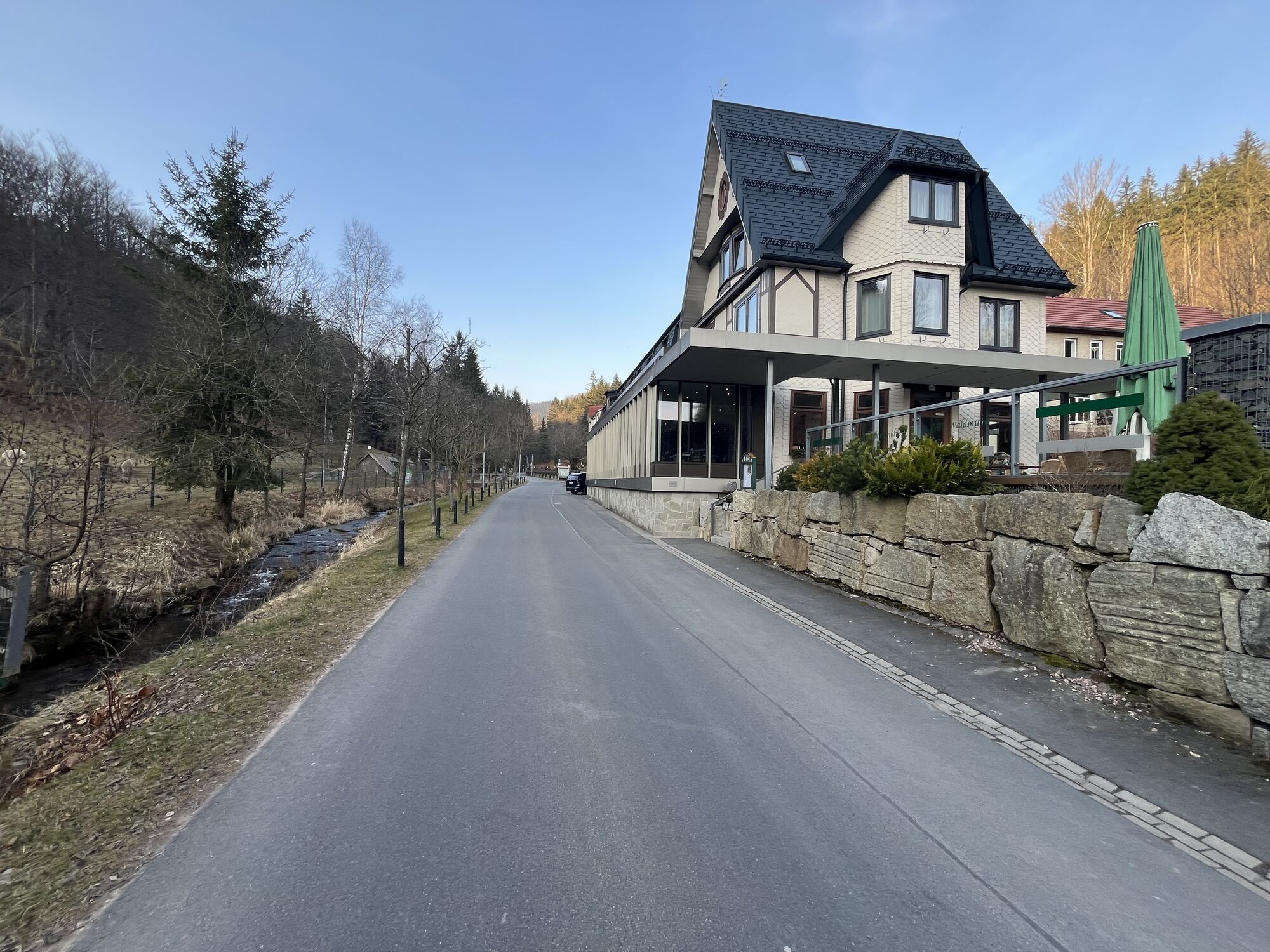
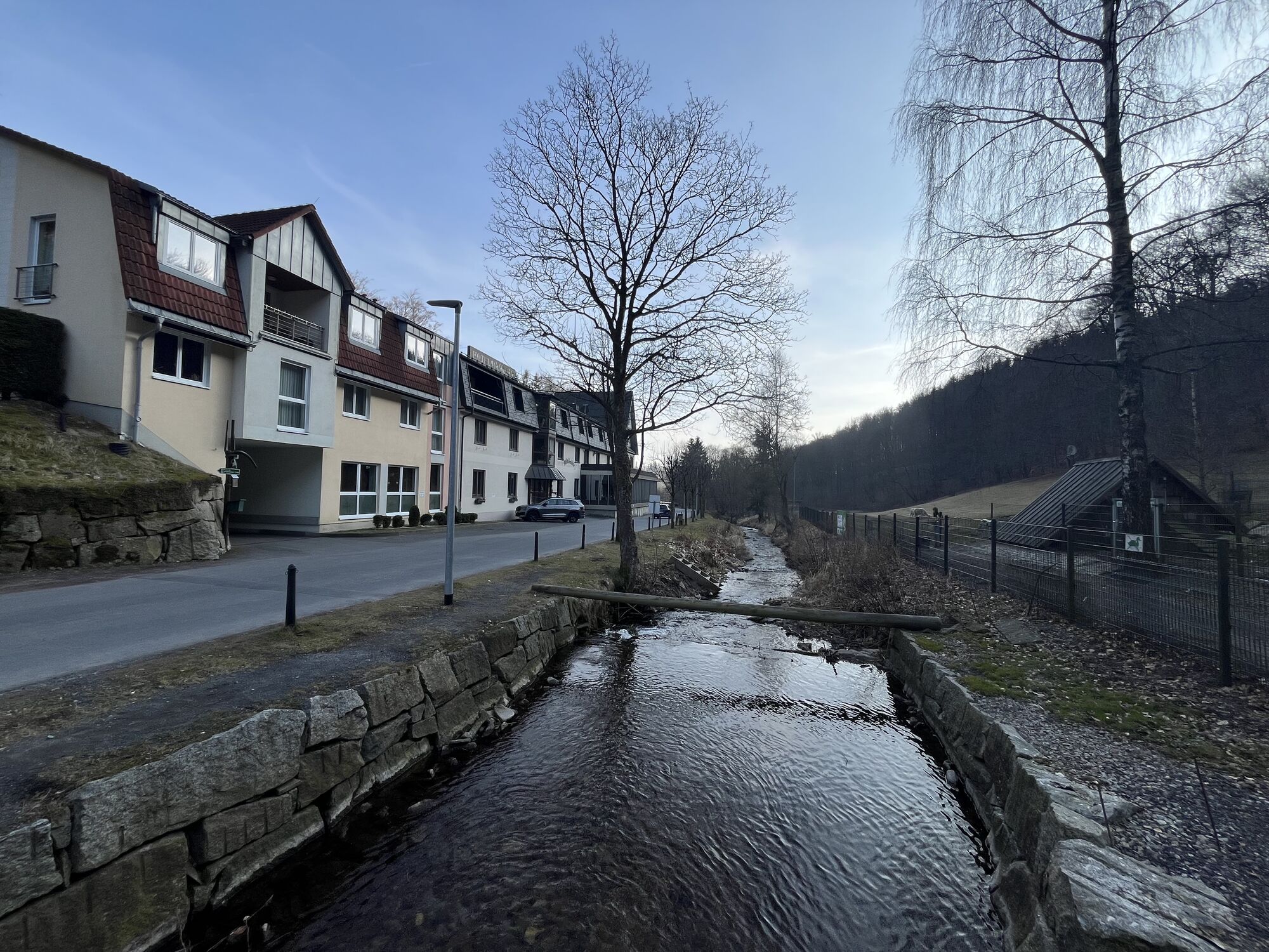
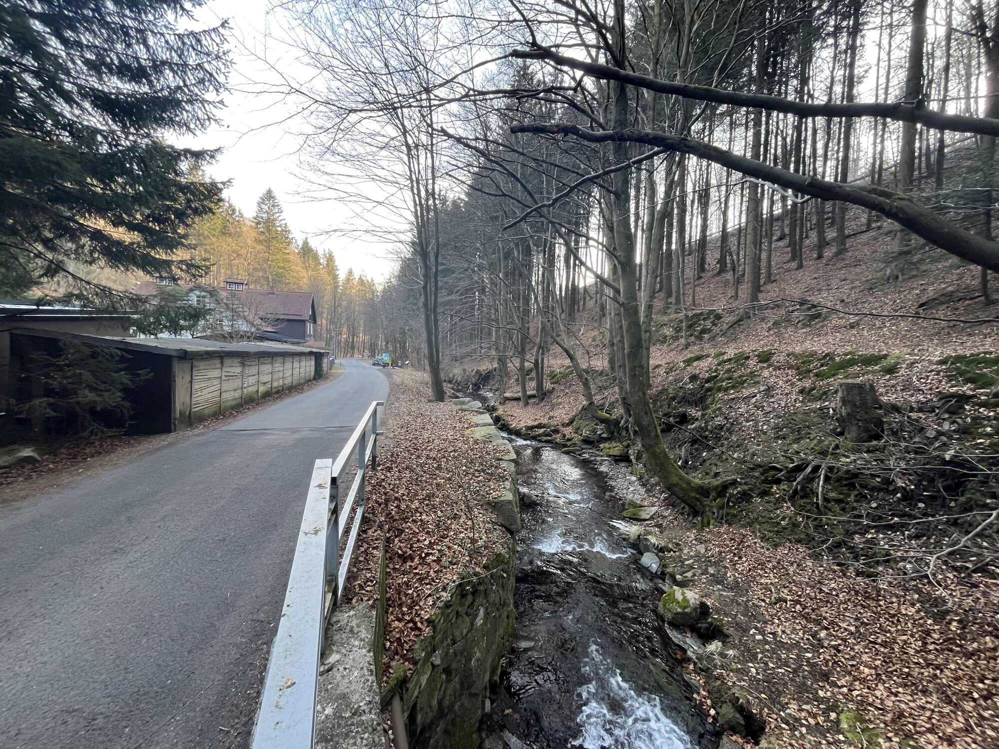
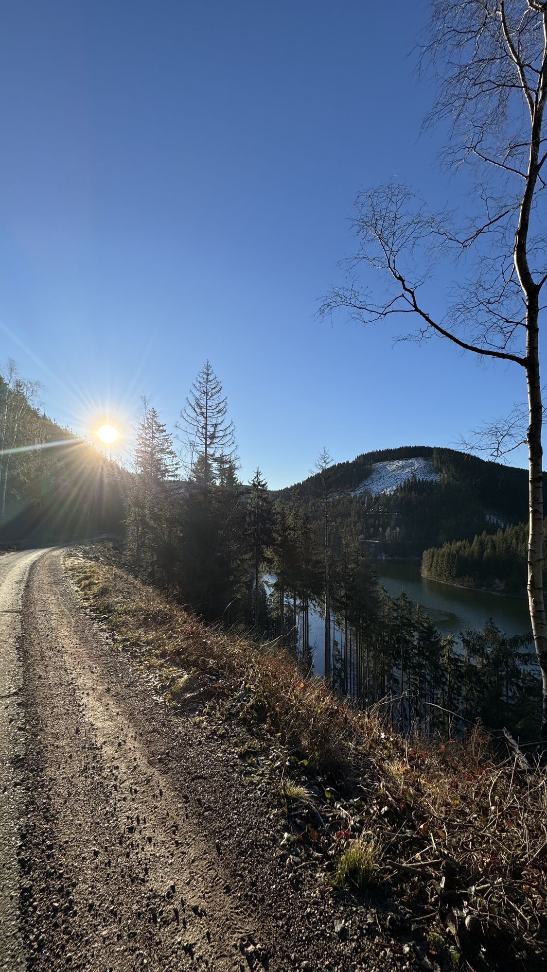
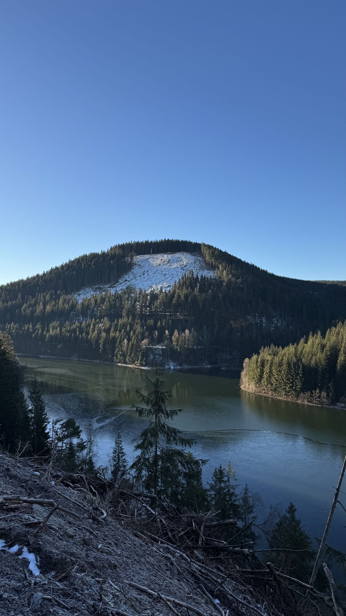
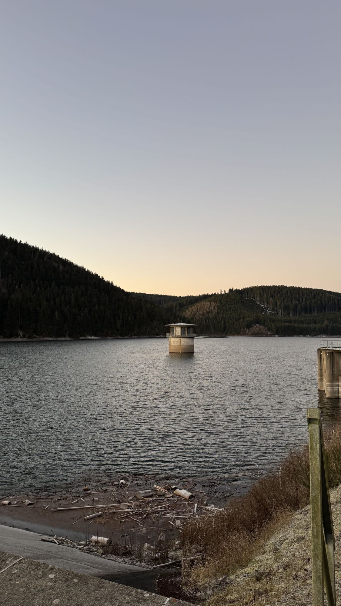
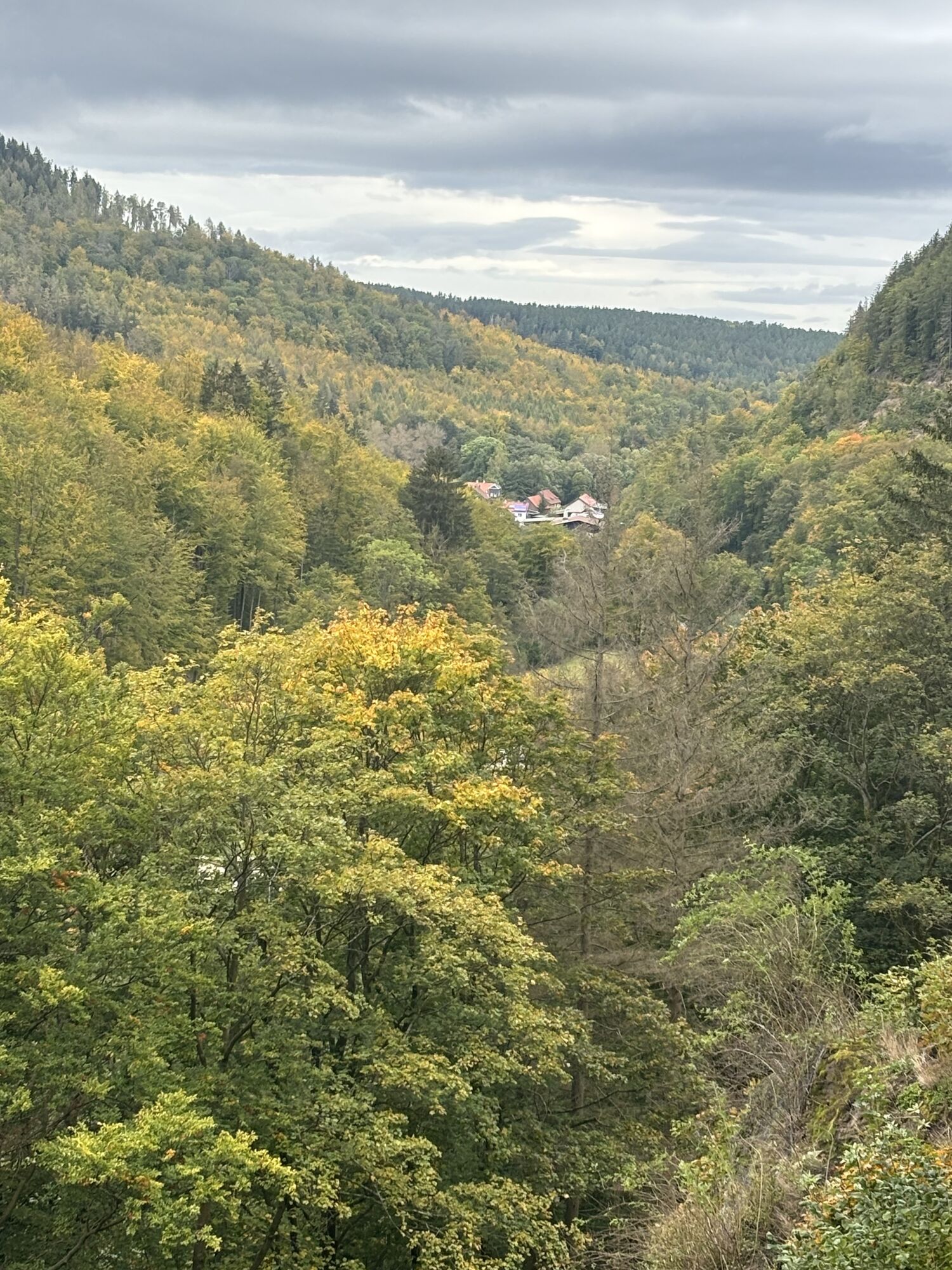
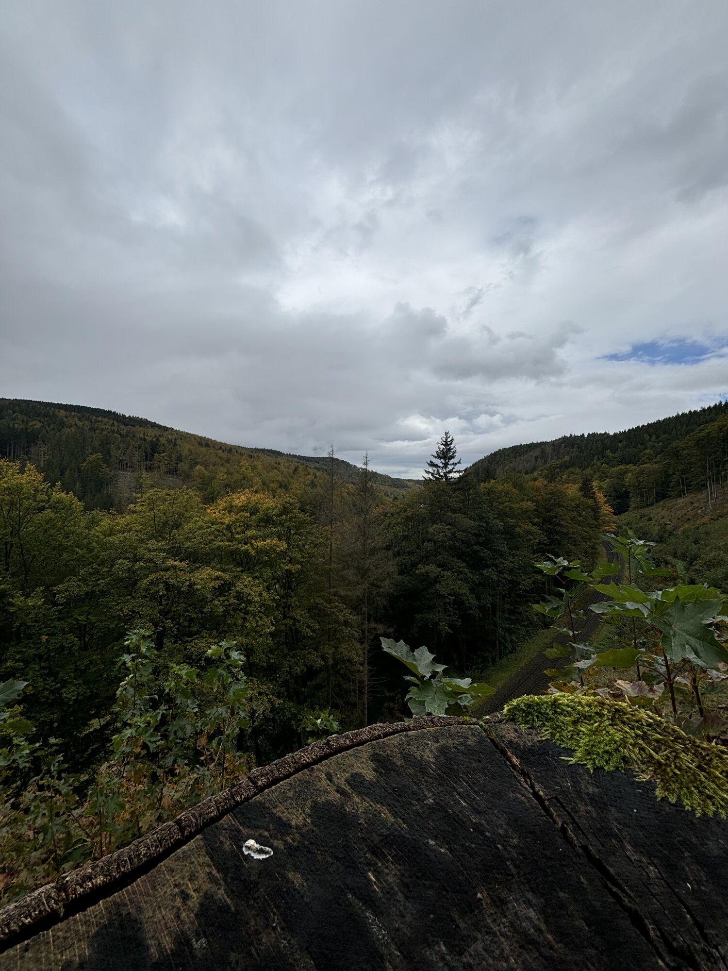
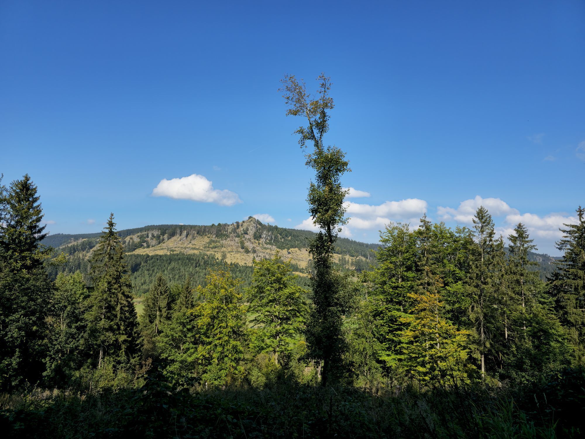
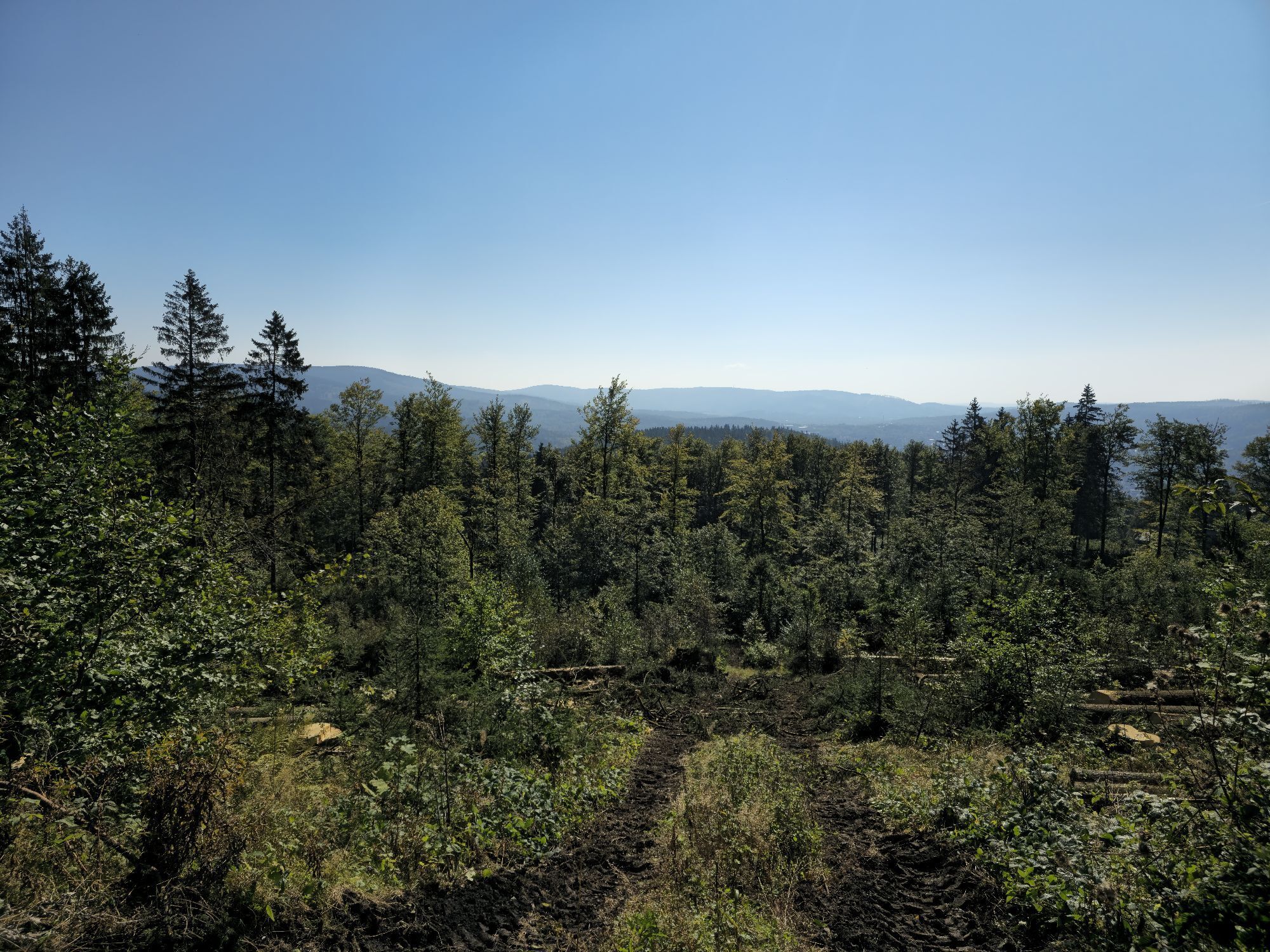
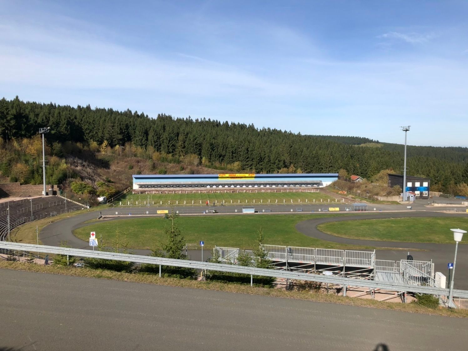
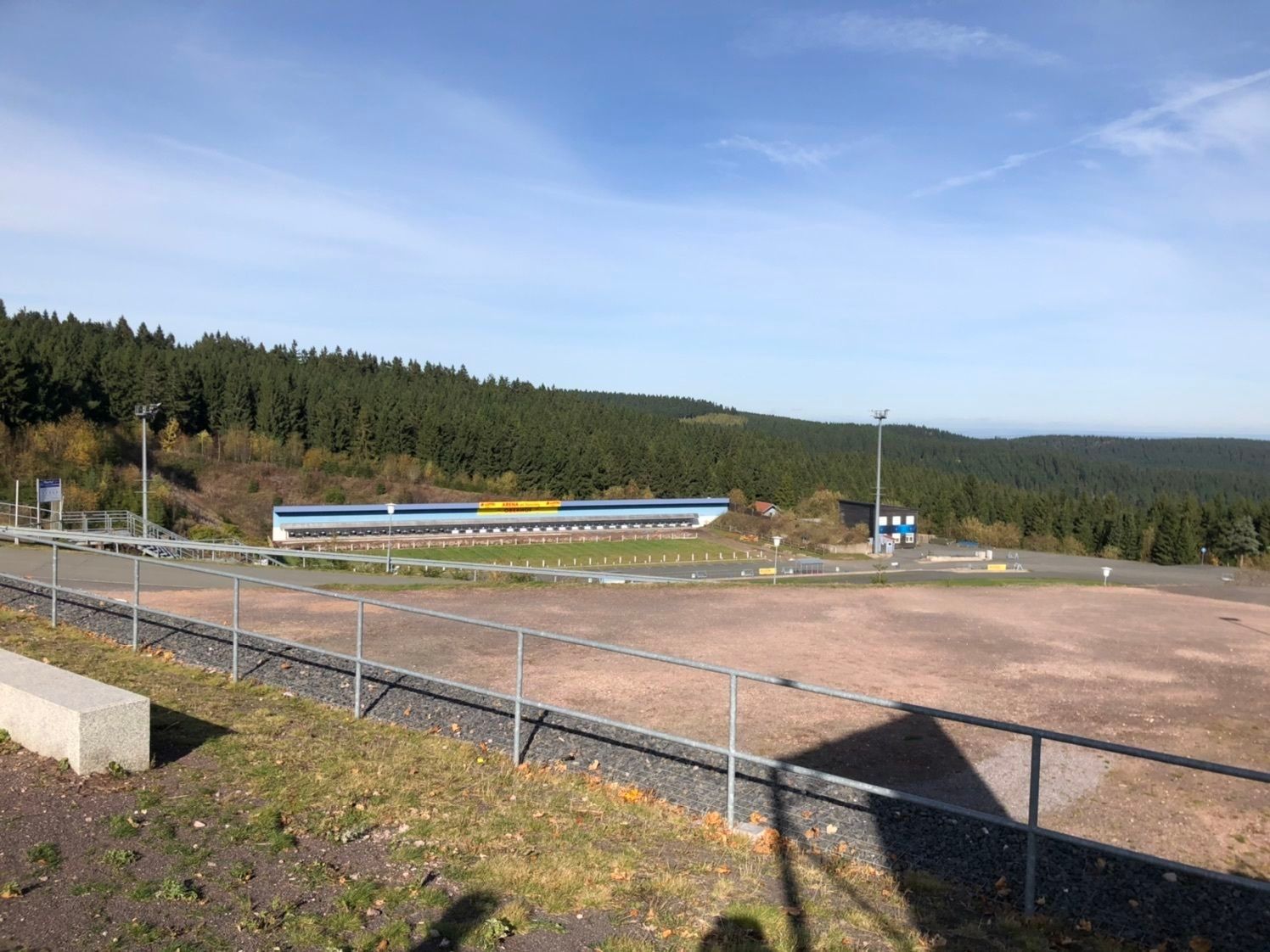
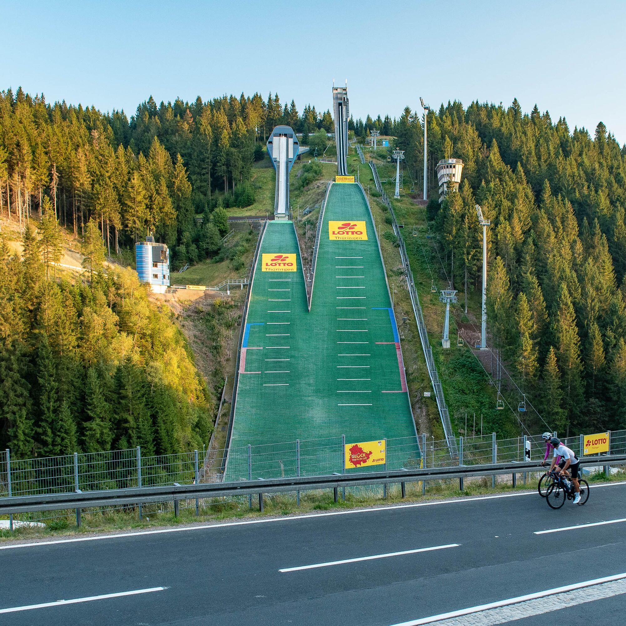
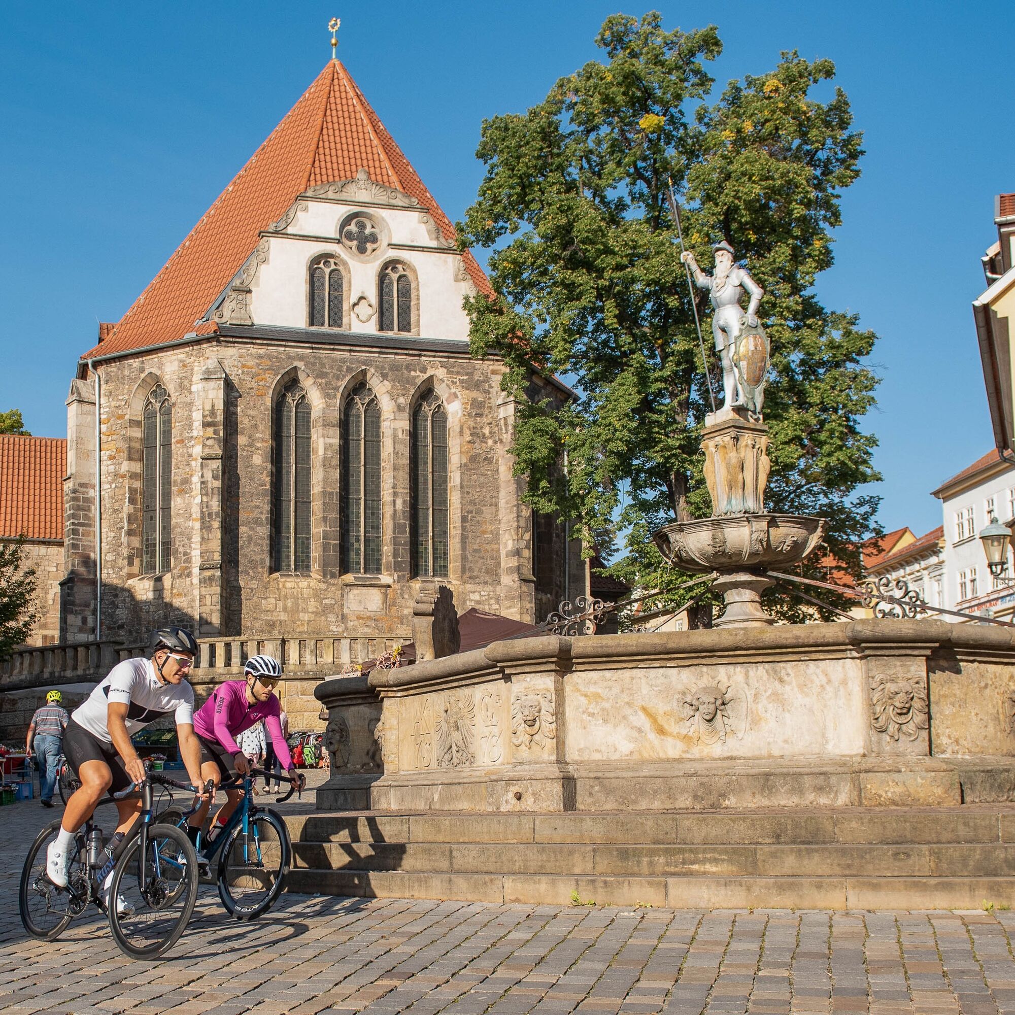
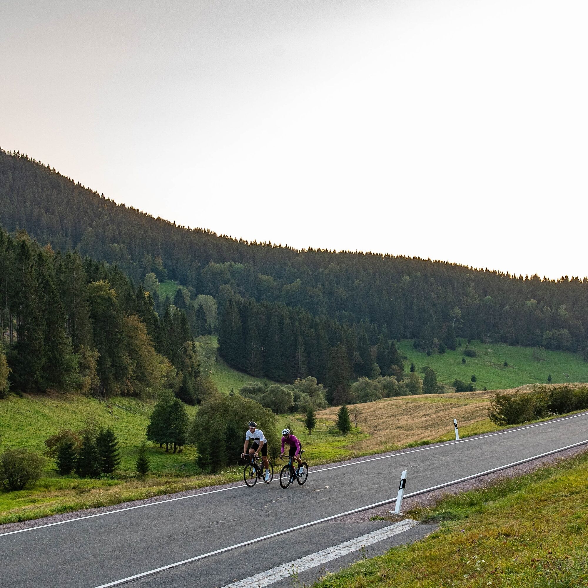
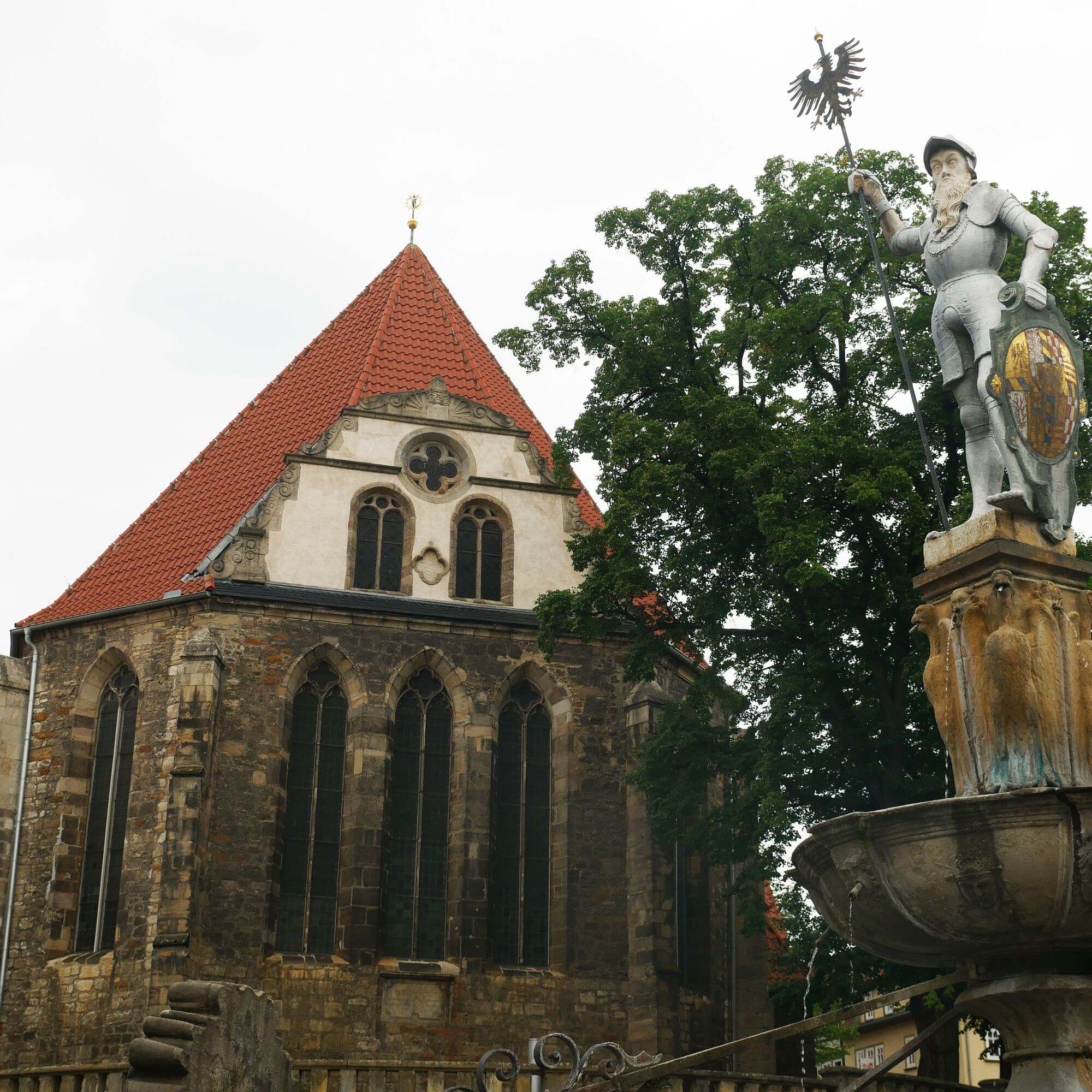
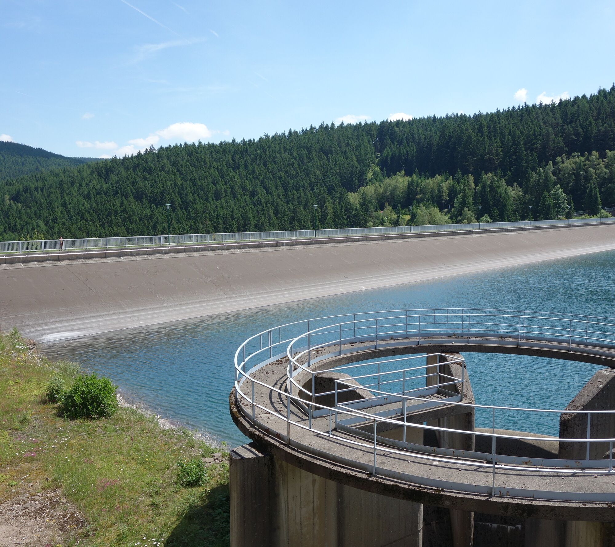
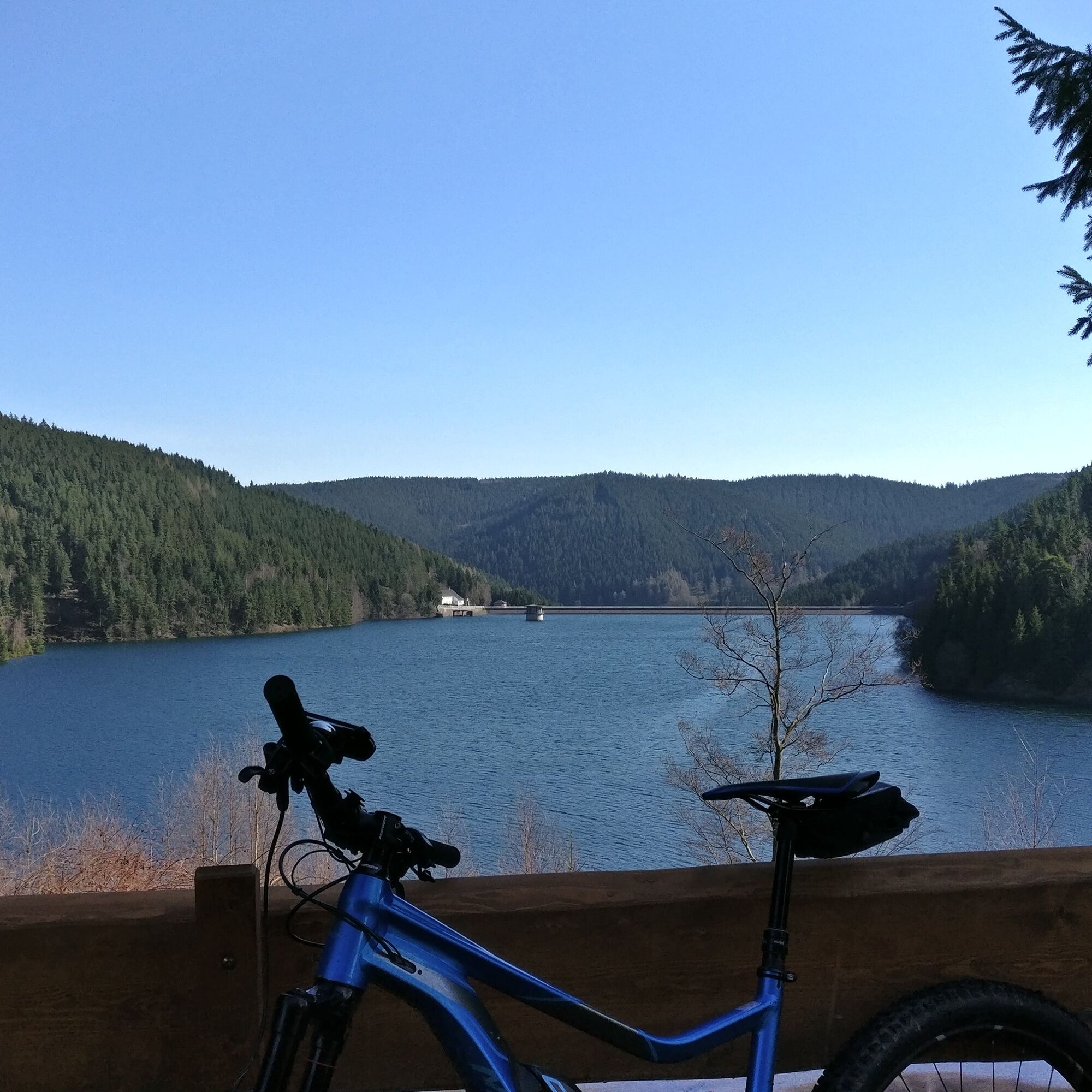
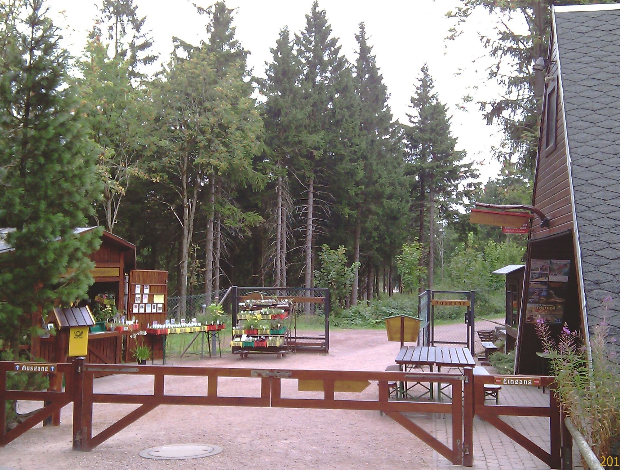
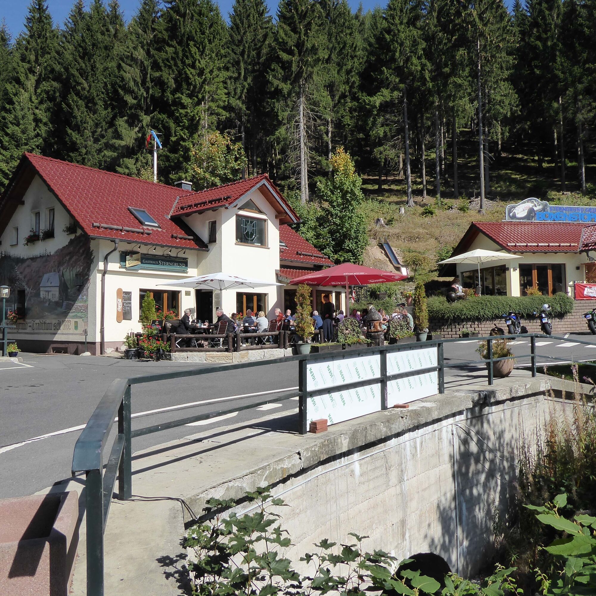
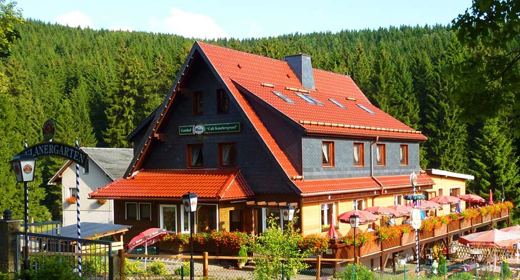
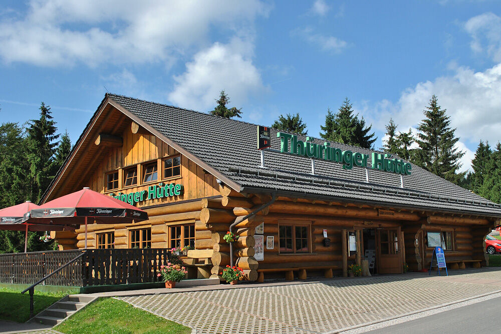
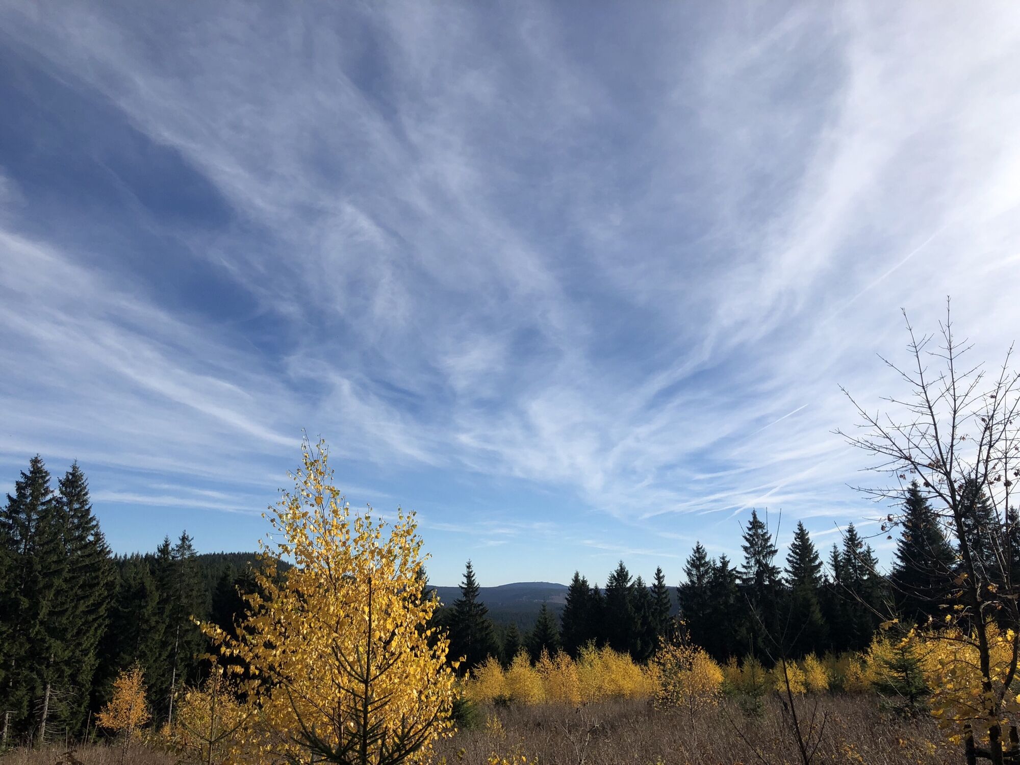
Culture, water, forest, and mountains - this route is impressive both from a sports and landscape perspective. Starting in Arnstadt, you pass the always fascinating ensemble of the Drei Gleichen (Wachsenburg, Burg Gleichen, Mühlburg). No matter the weather, this view is always something special. The "small" figure eight with the Oberhof junction combines the pleasure of fast descents and challenging climbs, such as from the Ohra Reservoir up to Oberhof or the section from Zella-Mehlis up to Oberhof. With the always green panorama over the lower part of the Kanzlersgrund, with views of the Ruppberg or the two ski jumping hills, you want to stop and take a photo. And shortly after, when you pass the Rennsteig and see the Biathlon Arena on the left, you want to stop briefly. At the Thuringian hut located there, you can get a bratwurst on the go to refuel freshly for the then flowing kilometers back to Arnstadt. Of course, you can also start the route in Oberhof. There are numerous Bett&Bike hotels there offering excellent service for cyclists.
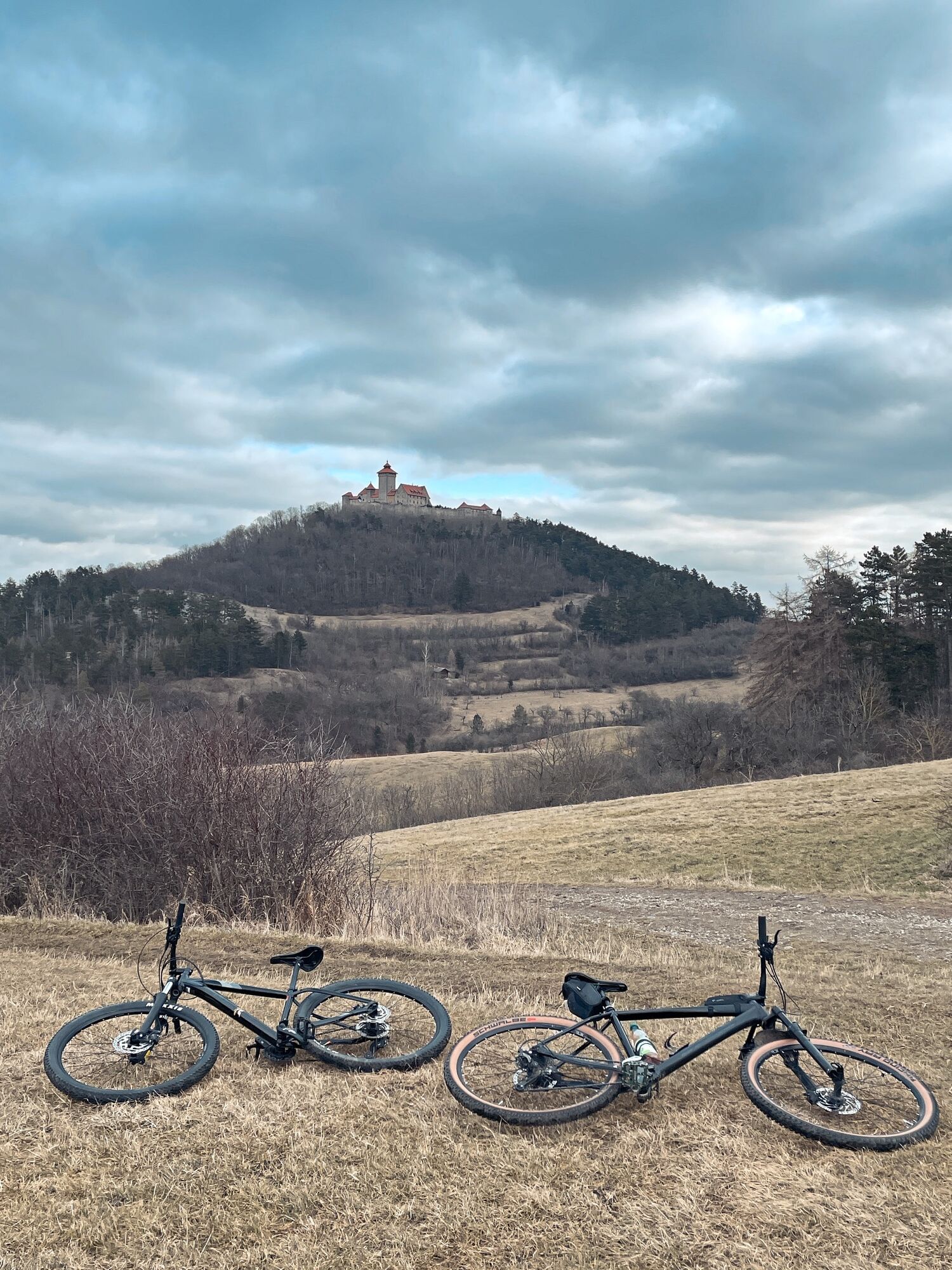
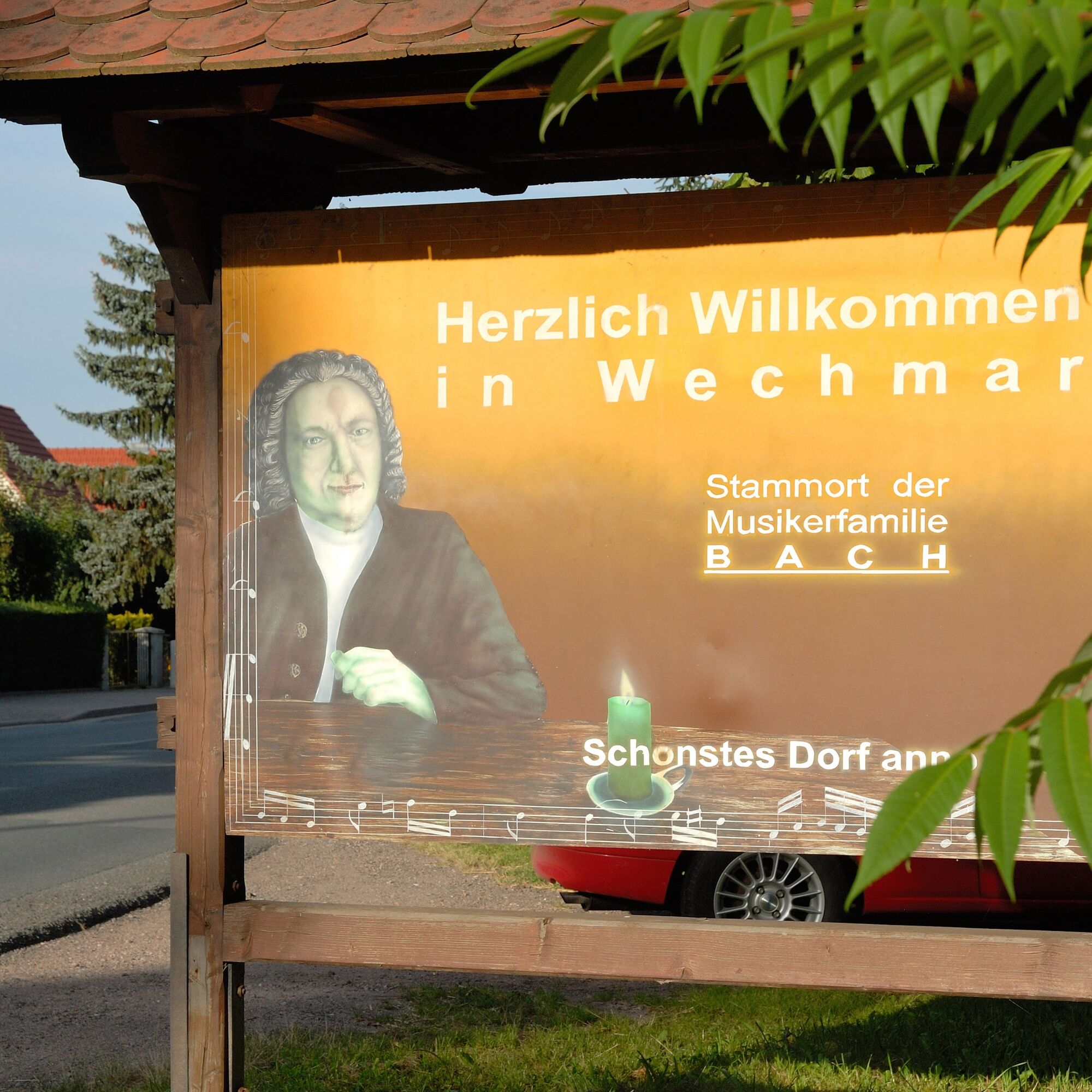
Marcel Kittel says about this challenging route: "A sporty route and pure Thuringian Forest! The highlights are the Ohra Reservoir and the old road up to Oberhof. It is insanely beautiful here – this is one of my favorite routes. And almost a insider tip! You ride past the Drei Gleichen, an ensemble of polished and managed castles, and finally return to the Bach town Arnstadt on the Geratal bike path."

Arnstadt - Ohra Reservoir - Oberhof - Zella-Mehlis - Oberhof - Geratal bike path
Keep in mind that a properly adjusted protective helmet can save your life in case of doubt.
Always pay attention to the road safety of your bike. The bike path runs partially on public roads. Watch out for other road users and ride cautiously. The road traffic regulations apply.
Especially in the hot summer months, always carry something to drink to prevent dehydration. A sunscreen with high SPF is also recommended.
Coming from the A71, take exit 14a (Arnstadt South) and continue on L1048 westward to Arnstadt.
Arnstadt and Ilmenau are connected to the Deutsche Bahn network and directly linked to each other. Use the DB travel information to find connections:
Parking lot Schulgasse at the New Church Google NAV point
4
Marcel Kittel's highlights: the Drei Gleichen, Ohra Reservoir in the middle of the Thuringian Forest, and the Kanzlersgrund climb.
Webové kamery z prehliadky
Obľúbené výlety v okolí
-
4,3
Rund um die Ohratalsperre
svetloTuristika 14,5 km -
4,4
Circular route - Around the Heyda Dam - Thuringian Forest
strednáTuristika 7,59 km -
4,4
Circular hike "Old Tambach Dam", Tambach-D., Thuringian Forest
strednáTuristika 8,33 km -
3,8
Wanderung zum Spitterfall
strednáTuristika 14,6 km -
4,8
Circular hike - Schmalwasser reservoir - Tambach-Dietharz - Thuringian Forest
strednáTuristika 13,8 km -
4,6
Hike over the Rennsteig & the Schneekopf to the Schmücke
ťažkéTuristika 20,9 km -
4,0
Circular hiking route "Oberschönauer Felsenwanderung" - Steinbach-Hallenberg - Thuringian Forest
ťažkéTuristika 12,0 km -
4,0
Zu den Schanzen im Kanzlersgrund
strednáTuristika 9,58 km -
4,0
Arnstadt - Bittstadt - Holzhausen - Haarhausen
strednáTuristika 20,1 km -
5,0
Circular hike to Bärenstein & Pfanntalsteich
strednáTuristika 9,10 km
Turistika a stopovanie


Nenechajte si ujsť ponuky a inšpiráciu na ďalšiu dovolenku
Vaša e-mailová adresa bol pridaný do poštového zoznamu.